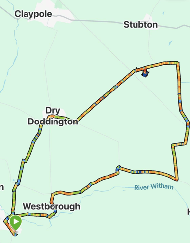
Having endured over two weeks of misty/foggy/overcast November weather, the sun came out today, and it was a joy to see. Mick and I enjoyed a 10-mile circular walk from Long Bennington to Westborough, Dry Doddington and back.
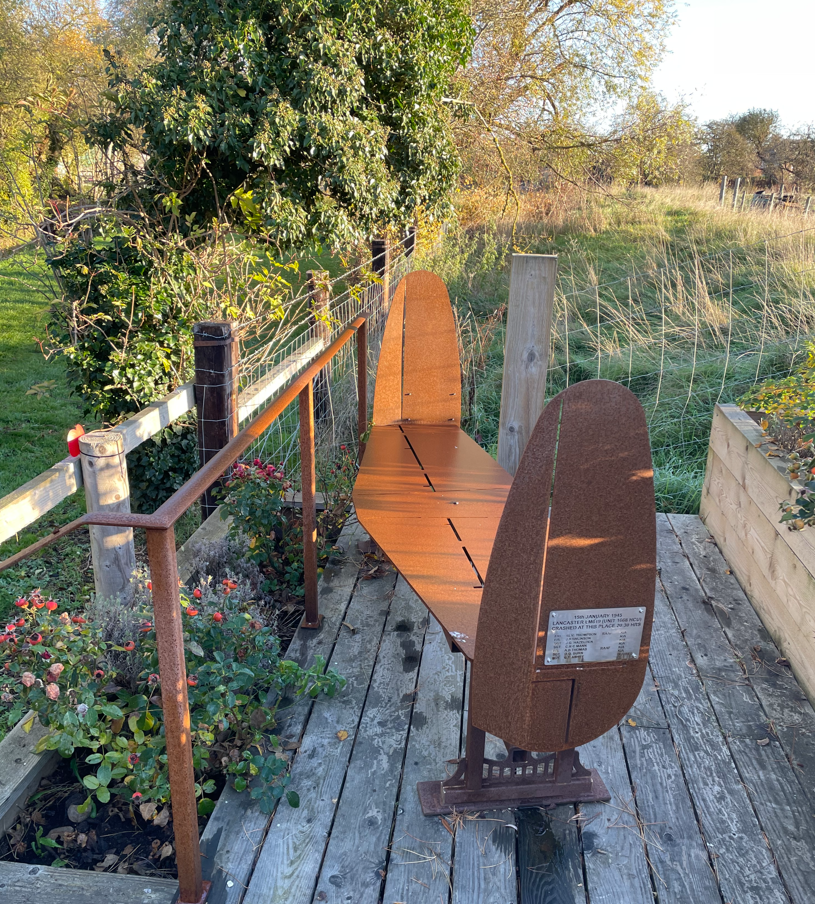
We left Long Bennington crossing fields to arrive in Westborough. I took Mick to see a memorial for a RAF crew whose Lancaster crashed at the site in January 1945 -the inscription says one man survived and sadly, 6 men died. I think the memorial design is quite unique.
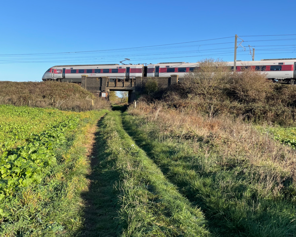
Leaving Westborough we followed the road towards Hougham and then joined a track which passed under the busy East Coast Railway line. After this we headed across open fields. There was a chilly wind, but it was so good to feel the sun once again.
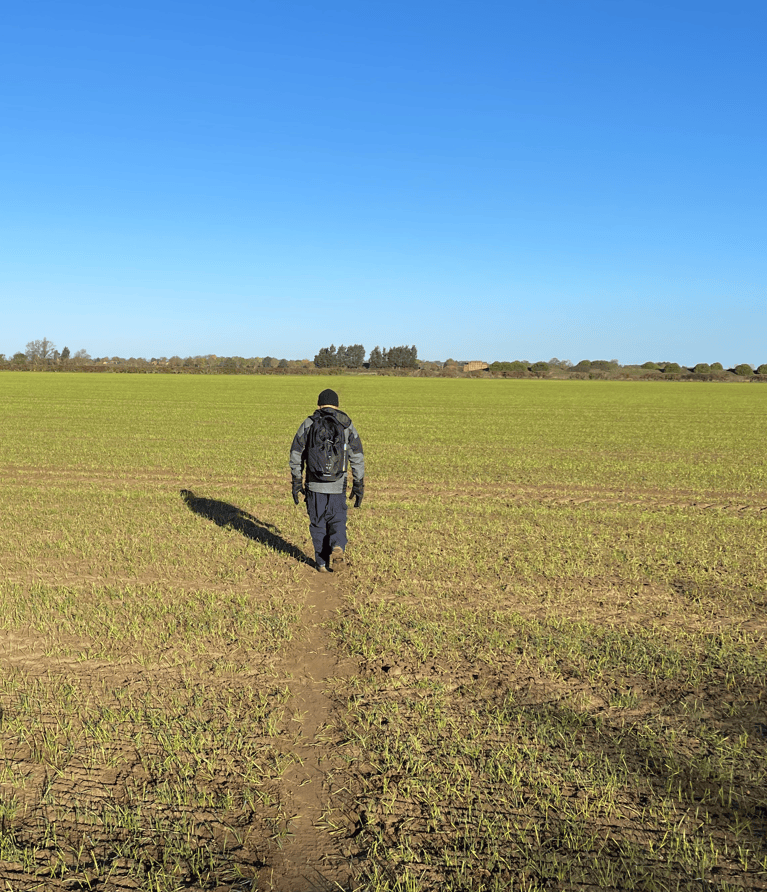
A blue sky morning as Mick crosses a field
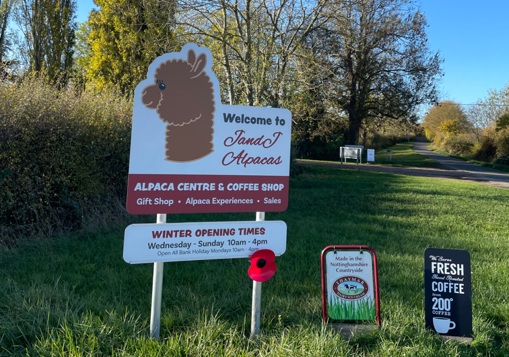
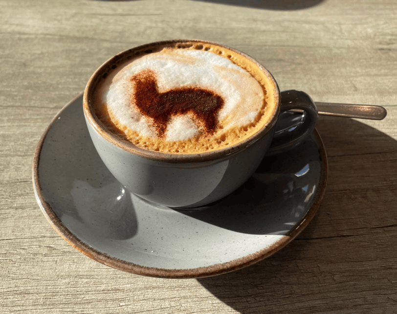
We were nearly 6-miles in on the walk at this stage and passing J and J Aplacas (it has a cracking coffee shop) so we decided to enjoy a coffee stop there.
I also ordered a bacon roll knowing that it would be very nice and it didn’t disappoint 😊.
Photo from the cafe website – it was too sunny for me to get a decent photo for myself
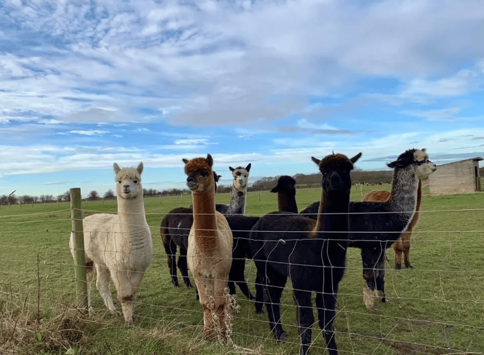
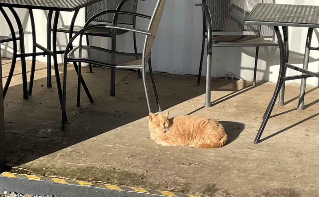
While I was outside trying to get a photo of the Alpacas I noticed one of the cats that live on the farm also enjoying the sunshine- he was very content.
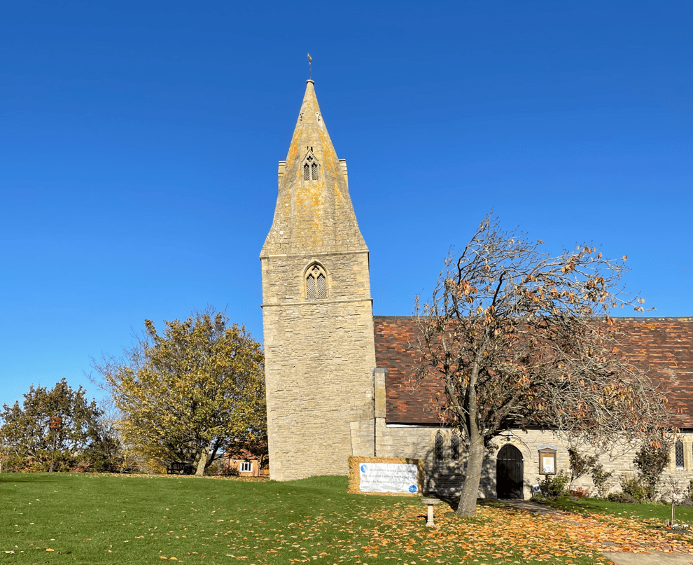
Refreshed after our stop we continued along the road to Dry Doddington passing the famous leaning tower on St James church (it leans more than the leaning tower of Pisa!). The tower has been underpinned and checks are carried out regularly to see if it still moving.
St James Church
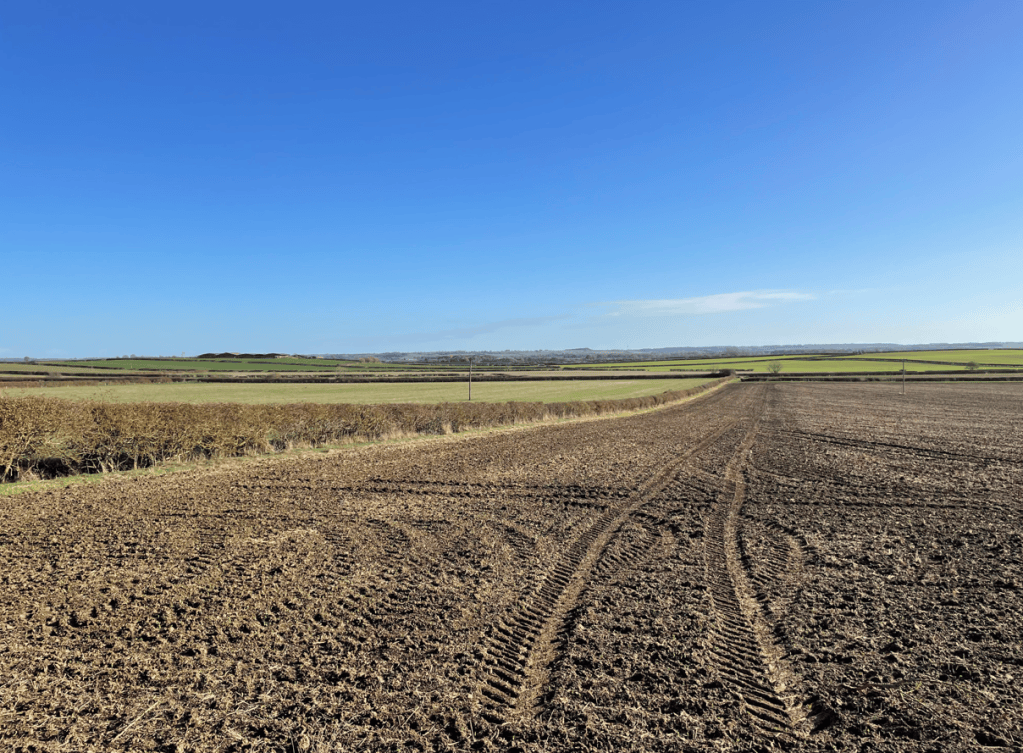
Soon ,we were back into fields making our way downhill back to Long Bennington. I was enjoying the extensive views and blue sky.
Fields on the way to Long Bennington
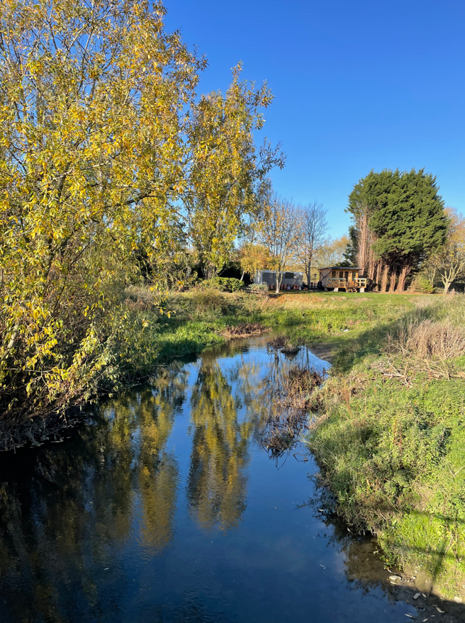
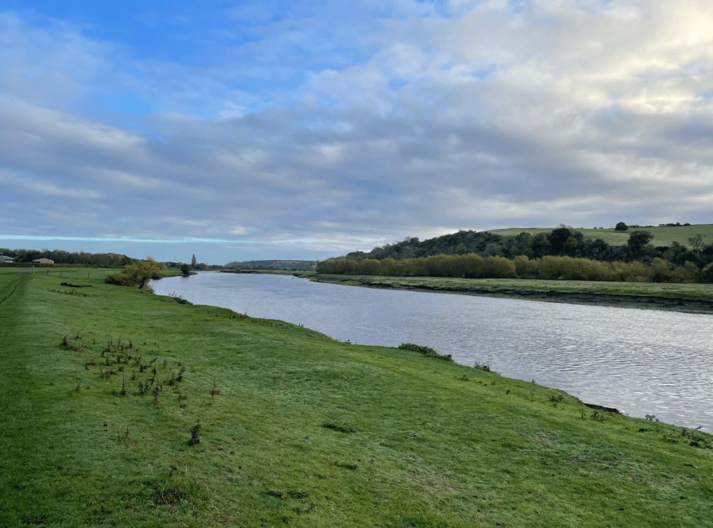
Finally, we crossed the river Witham and arrived into Long Bennington.
River Witham at Long Bennington
It had been a lovely walk and it was feeling quite hot in the sunshine.
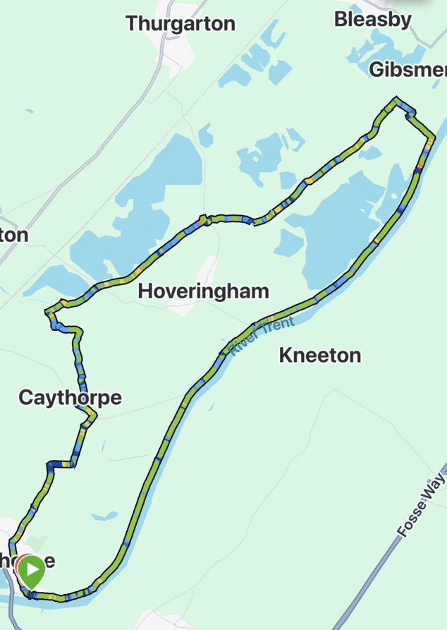
Today, Mick and I enjoyed a 9-mile circular walk starting at Gunthorpe by the river Trent in Nottinghamshire. We followed the river Trent for a few miles before turning away from the river and then took paths and tracks back to Gunthorpe. This was a walk that we last did in August 2025, so it was overdue a visit – its one of our favourites.
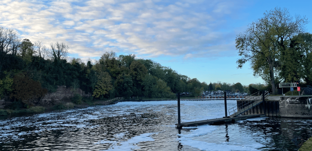
It was a chilly autumnal morning as we set off passing Gunthorpe lock and weir.
The weir at Gunthorpe
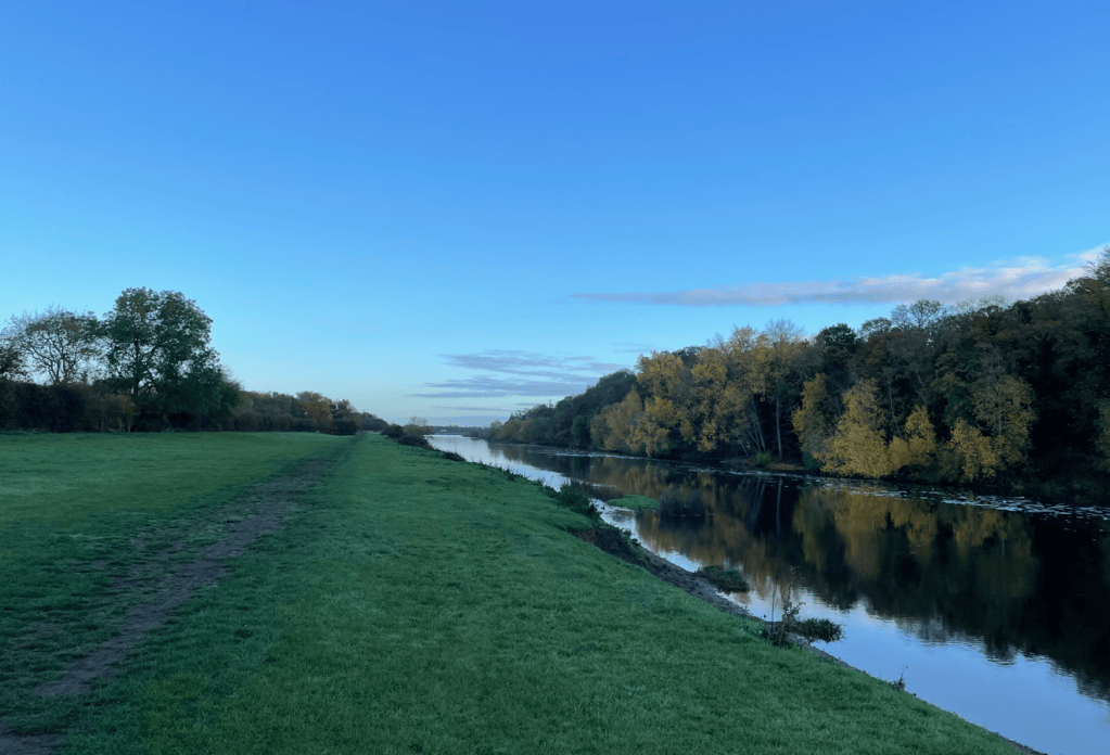
The grass river bank is broad at this point. The sky was blue and no one was around.
River Trent
It is surprising how quickly the weather can change. As we strode along the river bank the clouds were gathering.
Gathering clouds
As we were walking along I got to thinking about Karl Bushby who has recently completed an epic 28-year walk from the southern tip of Chile back home to Hull. https://karlbushby.world/ Apparently, there will be a documentary film produced (by Werner Herzog) so that should be interesting to see. How does he adjust back to normal life I wondered – I doubt that he could, he will need a new challenge. I can’t help but admire his achievement.
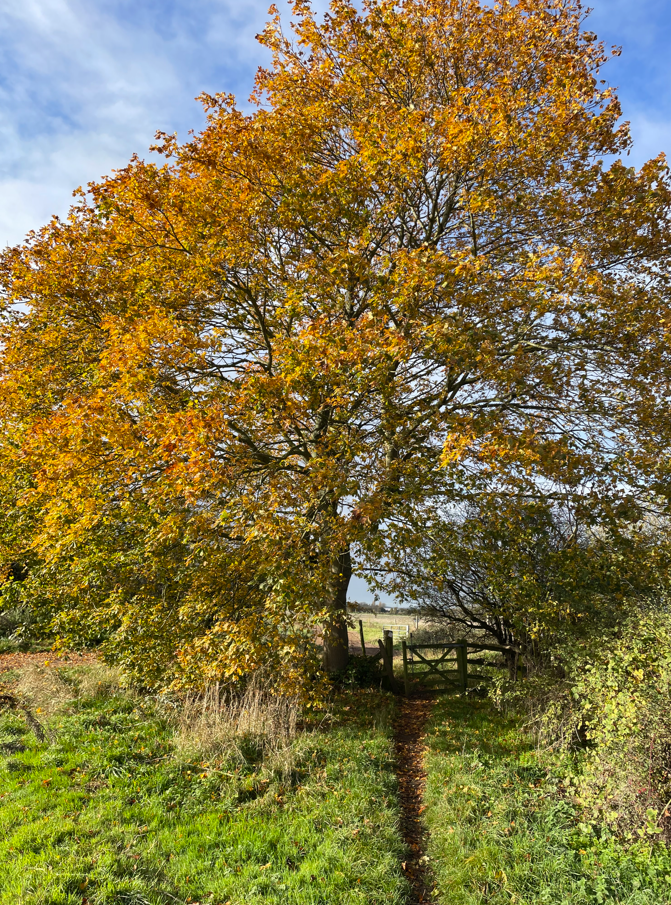
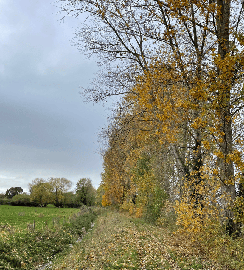
We passed through what we have previously known to be a muddy section unscathed and then took paths towards Caythorpe. Autumn colours delighted us on our way.
An open gate
As there were no benches on this stretch of the walk we took a break standing on a small wooden bridge. A coffee and a scotch egg boosted energy levels ready for the next few miles. Doing the walk at different times of the year is interesting – last time we did the walk the fields were full of crops, today they were mainly fallow.
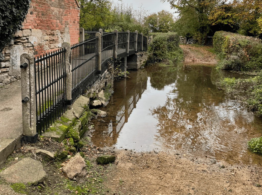
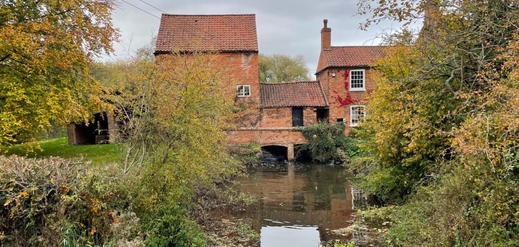
We came to a favourite part of the walk where we crossed the ford by Hoveringham Mill. Its always a delight to admire the old mill building.
The Ford
The Mill
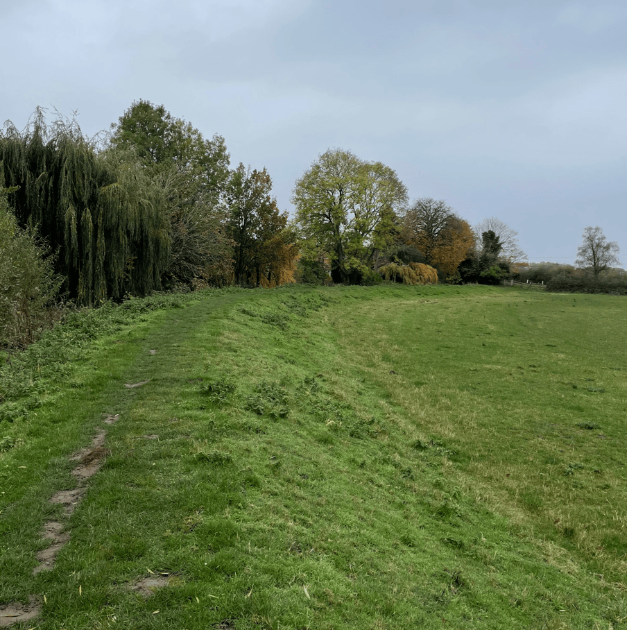
As we followed the meandering stream walking along the top of a grassed bank towards Caythorpe the light rain started falling – was this in the forecast we asked ourselves? We thought not.
On the way towards Caythorpe
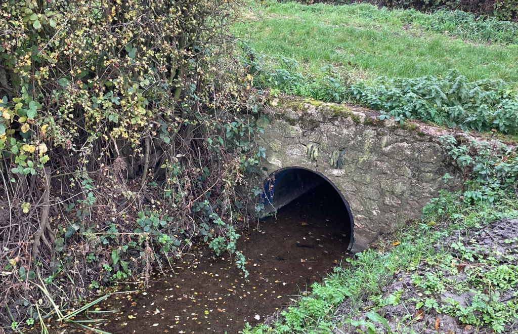
Should I get my rain jacket out of my rucksack I asked myself – No, I decided the rain is not that bad. After walking through the village of Caythorpe we took a path to Gunthorpe passing ‘The Gloves’ – a local ‘landmark’ missed by many I expect, a pair of gloves between the bricks in a culvert 😊.
The Gloves
As we arrived into Gunthorpe the rain had stopped and blue sky could be seen in places. I expect it will be sunny this afternoon, I said to Mick, and indeed it was!
Today, Angela and I enjoyed another leg on the inland section of the Cleveland Way, walking 10-miles from Clay Bank to Kildale. You may recall that after the last section we were very tired. So, we took a rest day and I gave my knees a rest!
Today was mainly a blue sky day, but the downside was it was a tad cold in the wind, particularly at height.
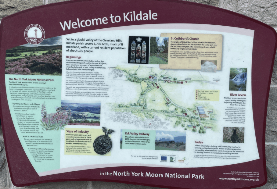
I parked my car at Kildale railway station and then Angela drove us to Clay Bank to resume where we finished a couple of days ago. There was a good information board at the small railway station (which lies on the popular Esk Valley Railway Line) plus free toilets!
After parking the car it was an ascent up to Urra Moor and the high point of Round Hill.
Signs ascending to Urra MoorOn Urra Moor
Looking back we could see the Cleveland Hills that we had traversed on the last leg.
Looking back to the Cleveland Hills
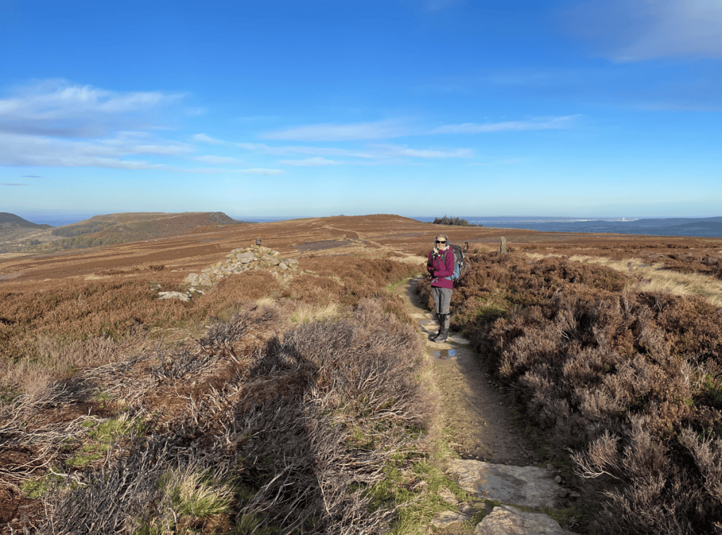
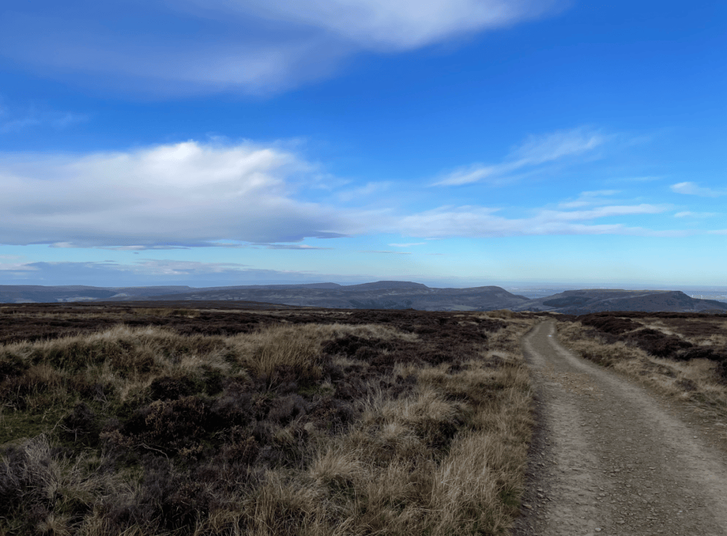
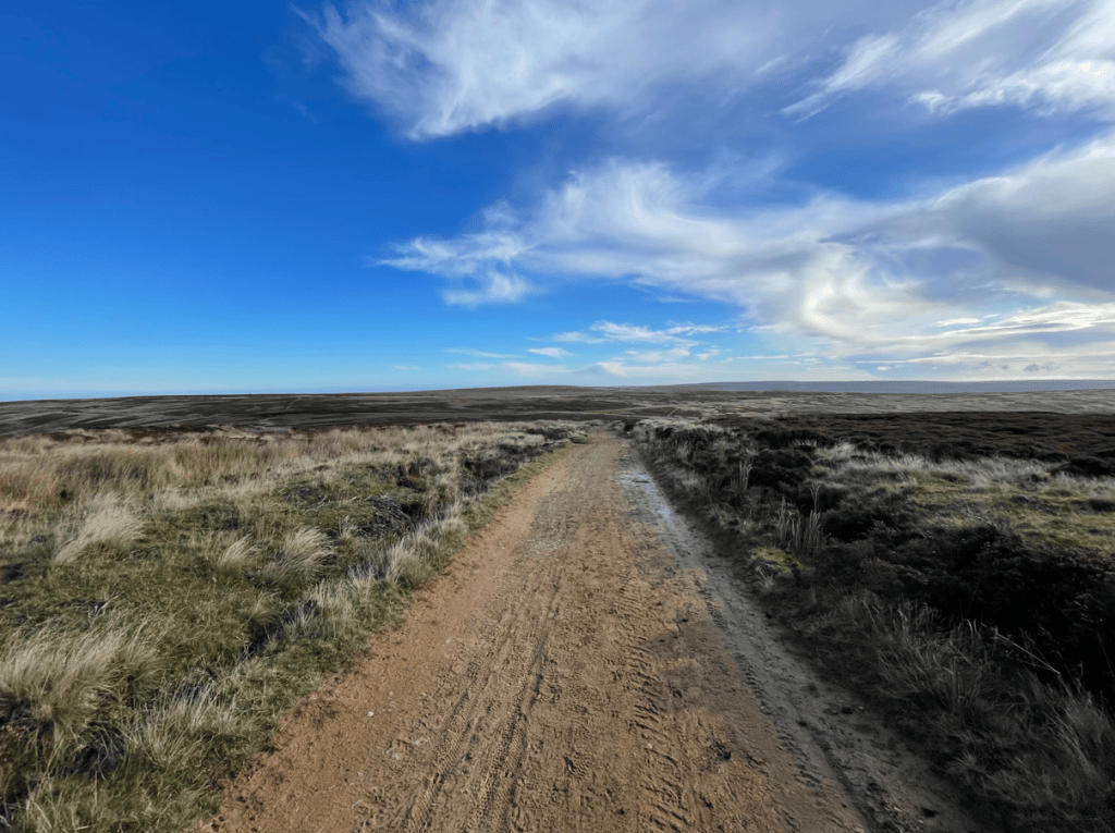
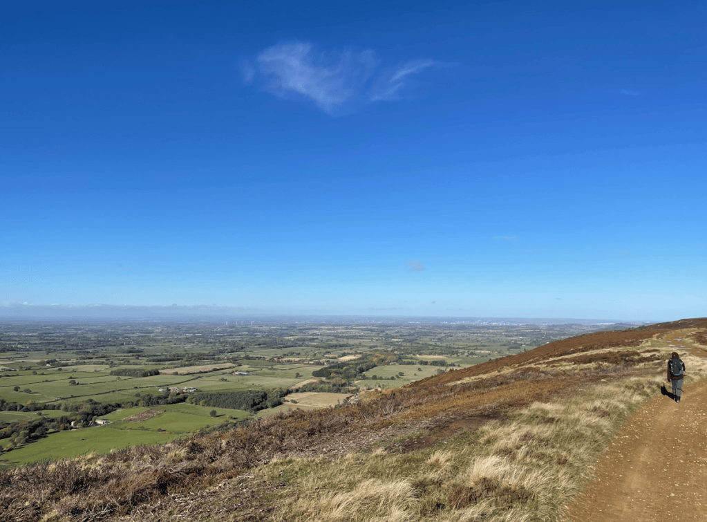
Along the moor the track was sandy and the views extensive- we occasionally frightened the poor Grouse that were hiding in the heather.
On the Moor
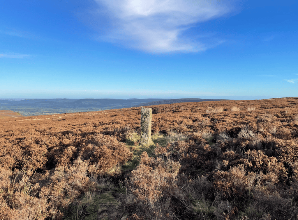
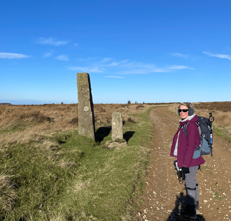
Along the Moor there were numerous prominent boundary stones.
A typical boundary stone
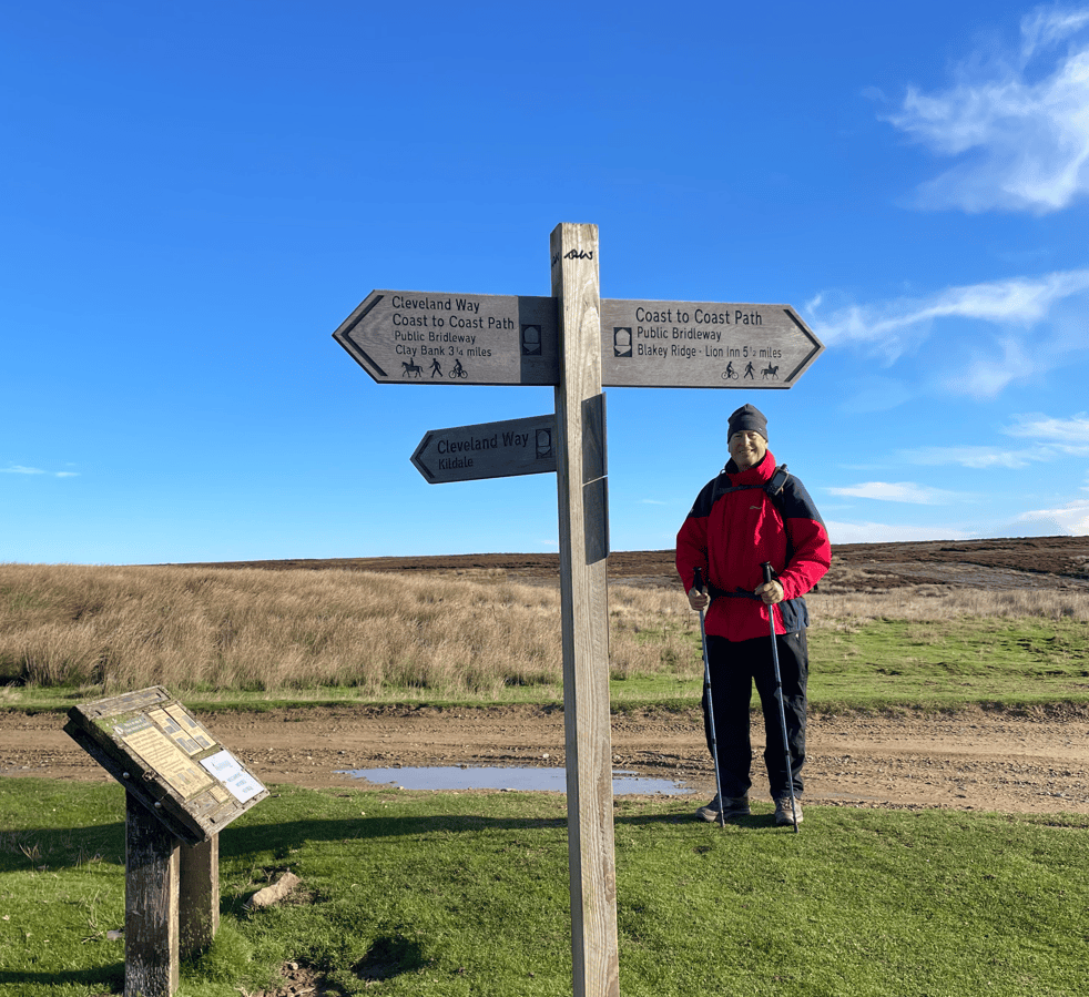
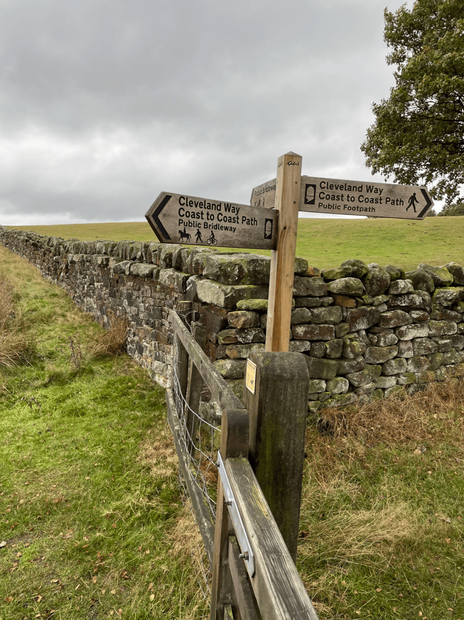
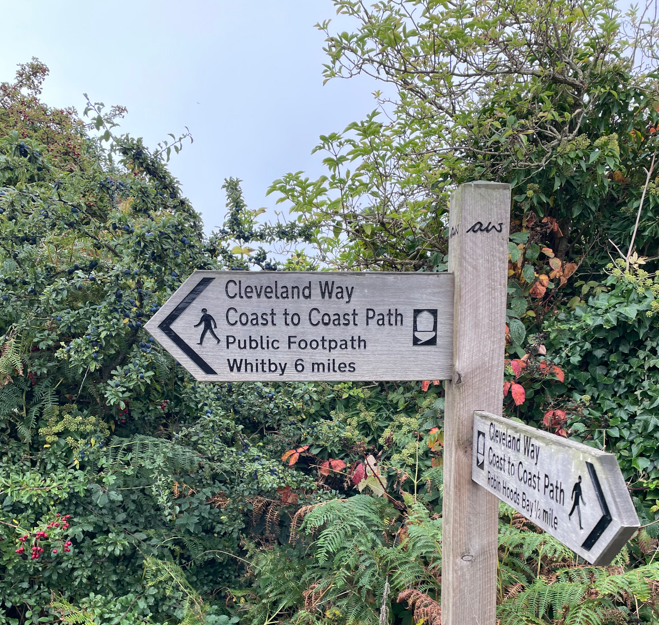
Soon we arrived at Bloworth Crossing where the Coast to Coast Path departs from the Cleveland Way and heads to its finishing point at Robin Hood Bay.
At Bloworth Crossing
Continuing along, enjoying the views, we passed another couple of standing stones
Middlesborough could be seen in the distance as well as Roseberry Topping and Captain Cooks Monument – we would visit these on the final leg. We also caught a glimpse of the North Sea.
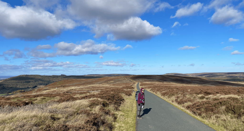
The track turned into a tarmac road which would lead us back downhill into Kildale.
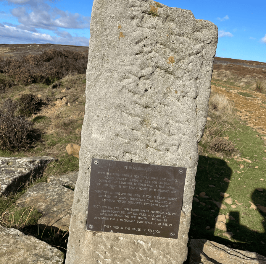
Along the road we saw a memorial plaque to a RAF crew who had crashed nearby in 1941 – they survived the crash but sadly died of exposure on the moor because it took 2 days to discover the plane.
We had an easy road walk into Kildale and the end of todays leg. The weather forecast for tomorrow is grim and because it’s a 15-mile walk to the finish at Saltburn we have decided to complete the walk next spring. We want to enjoy the walk and its sights – 15-miles in heavy rain is not why we walk, it would be a slog. So, for now we will leave the scenic North York Moors and look forward to returning next spring.
Today, Angela and I walked another section of The Cleveland Way beginning in Osmotherley and finishing at Clay Bank – 11.8 miles and 2,900 ft of ascent. The walk would take us across the Cleveland Hills and give us stunning views.
The rain/mist from yesterday had cleared and we were hopeful for a dry day.
Osmotherley
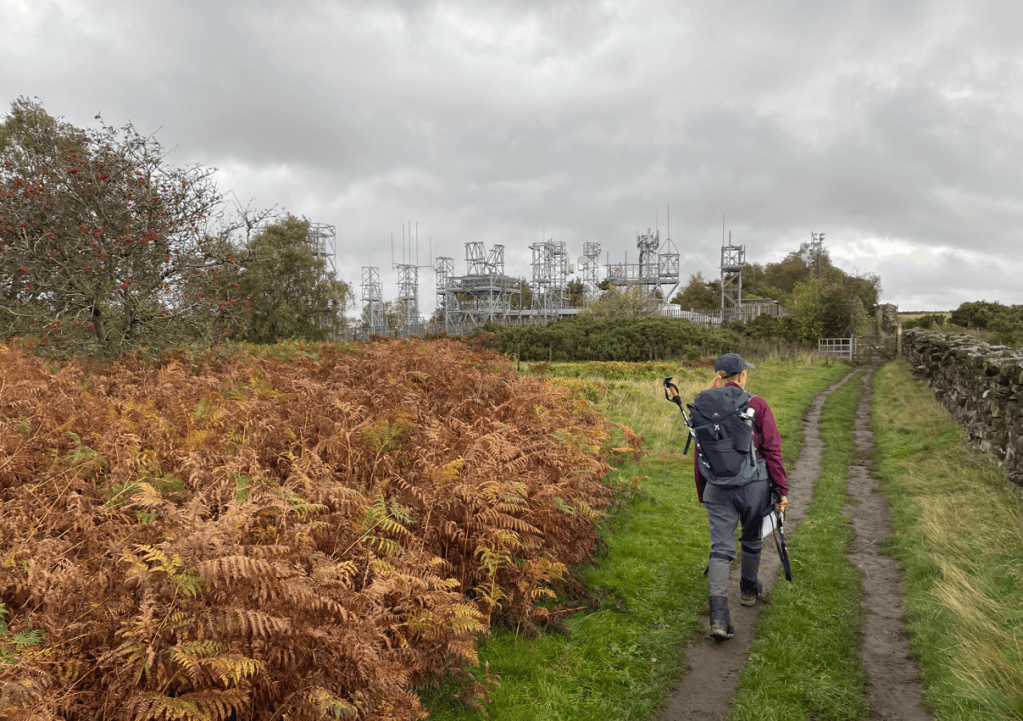
Having dropped my car off at the finish point Angela drove us to Osmotherley. Immediately we headed up through the village and soon we were passing the masts of a television booster station.
Television booster station
In the distance we got our first view of the pyramid shaped Roseberry Topping (The Yorkshire Matterhorn) which we would be walking on another day. The Cleveland Way path and the Coast to Coast path merged further on.
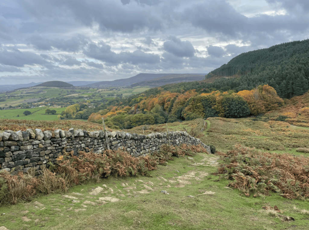
Soon we were walking across Scarth Moor enjoying the views.
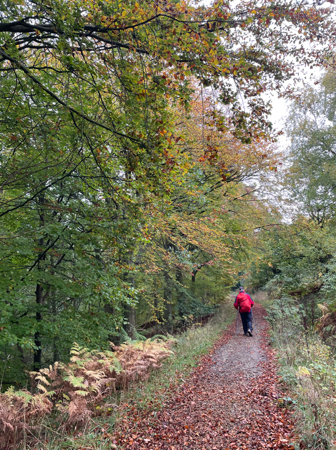
Dropping down from the Moor we walked through forest and were also now following the Lyke Wake Walk, which is a 40 mile crossing of the North York Moors from west to east.
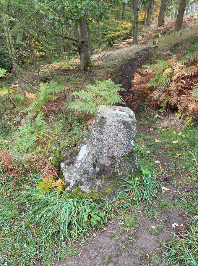
In the forest we passed a low carved stone commemorating Bill Cowley who founded the Lyke Wake Walk in 1955.
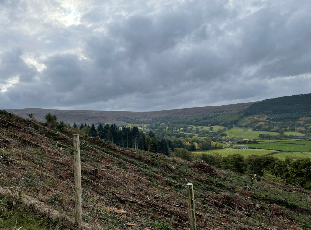
It was strange for us walking through here because we were renting a cottage in the vicinity. We crossed Scugdale Beck and walked up the lane to Huthwaite Green where we headed steeply uphill. Tree logging was in progress.
Tree clearance
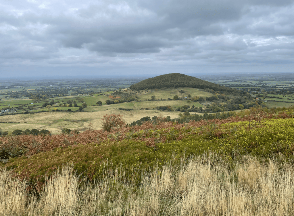
We emerged on to Round Hill and, as we continued, we passed the prominent tree covered Whorl Hill.
Whorl Hill
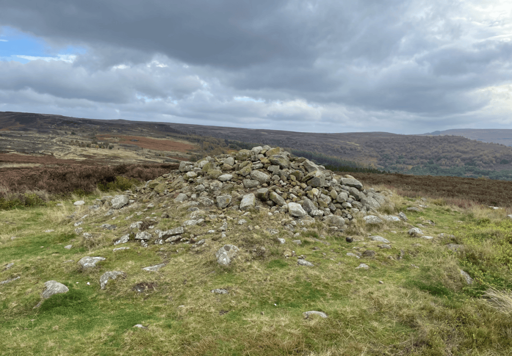
A little further on we passed a Bronze Age burial mound dating from around 2000 BC – there is a sign to the side asking people not to add stones to it thinking it is a cairn.
Burial mound
I was loving the walk at this stage.
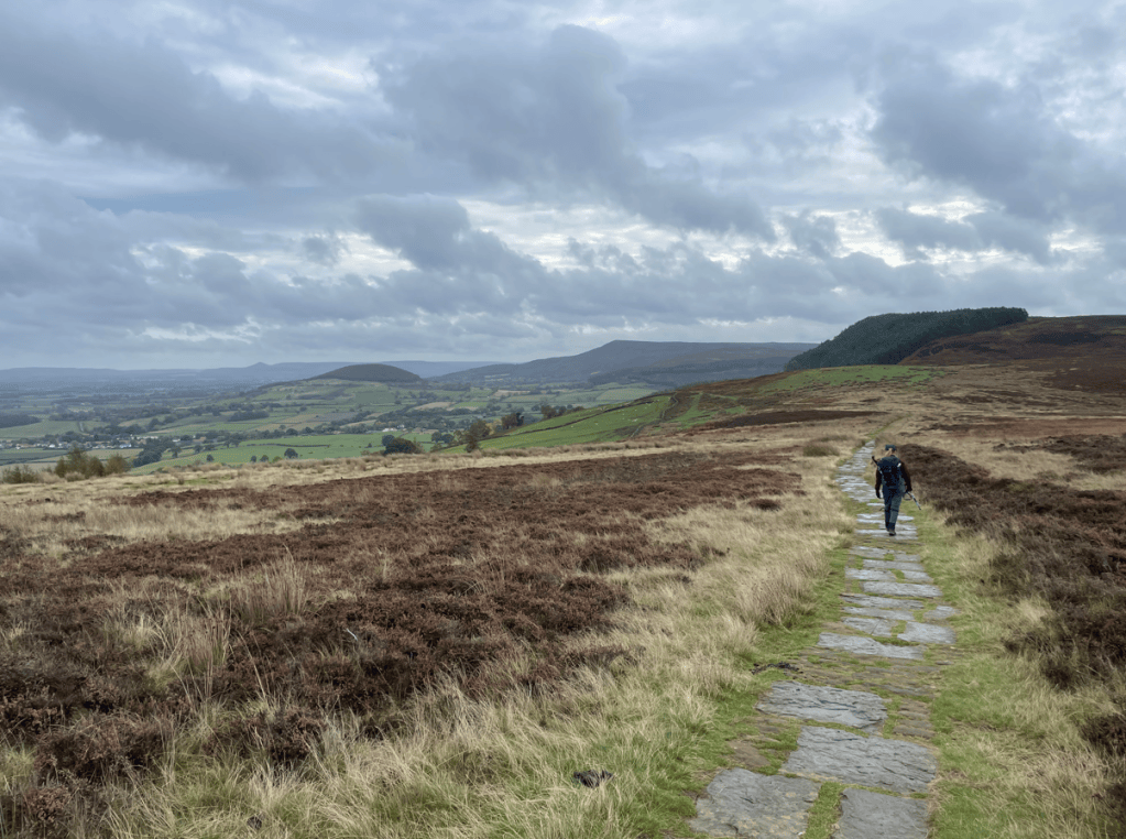
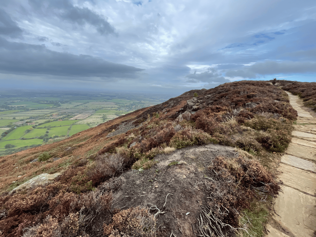
The path along the top is lined with large stone slabs which helps with erosion and makes walking easy.
Angela striding ahead
We were continuing to soak up the views.
Roseberry Topping in the far distance
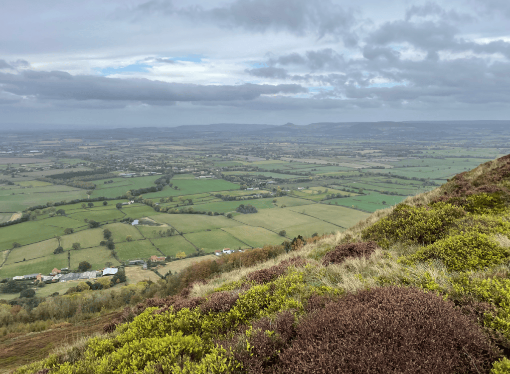
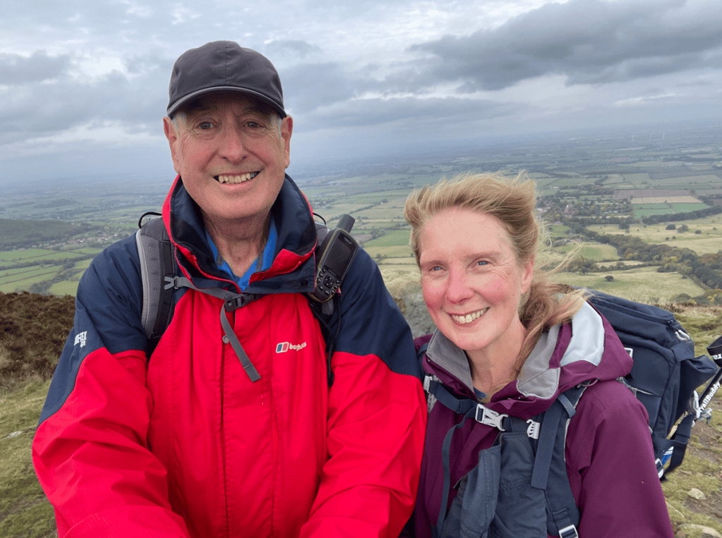
Descending into Lordstones I was beginning to dislike the small rocks used to protect the path on ascents and descents- they are quite arkward to walk on. Arriving into Lordstones there is a cafe/restaurant and we decided to have a stop here. However, after donning plastic boot covers provided by the cafe, and taking a table, we gave up waiting for service after 10 minutes and departed – we still had some miles to cover and could not afford to waste time. I had been anticipating a caffeine hit and so felt disappointed as we headed steeply up another hill. Reaching the summit, we took the obligatory photo by the trig point in the cold biting wind!
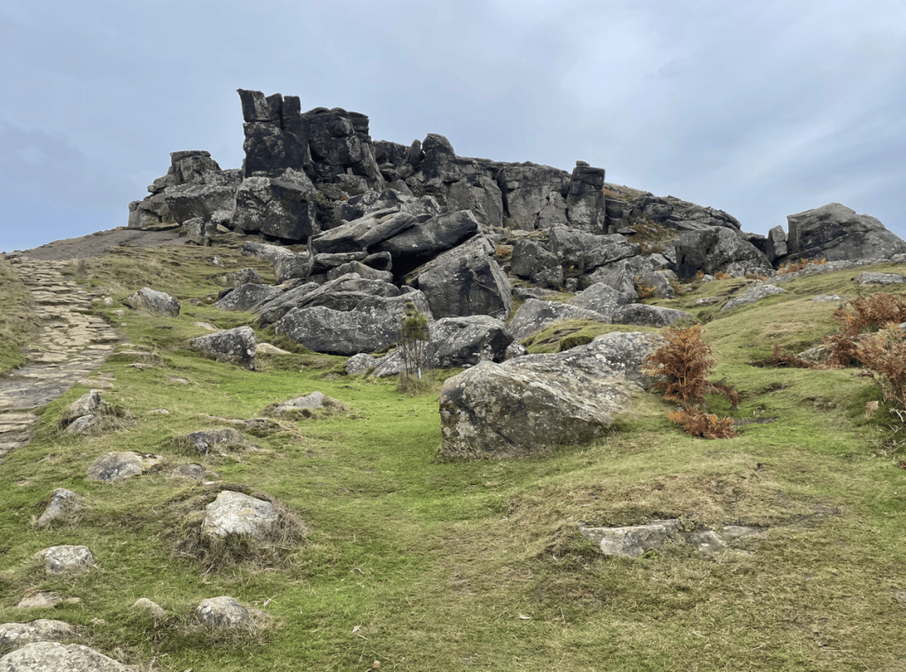
Descending, we met some people who were dressed like they were on a pheasant shoot, and sure enough, they were the beaters. Shortly, we heard the rifles firing. Ascending another steep hill we were headed towards the Wainstones – used by local climbers.
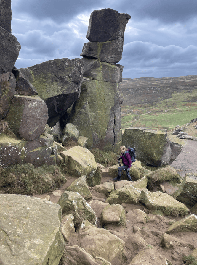
The WainstonesAngela in the Wainstones
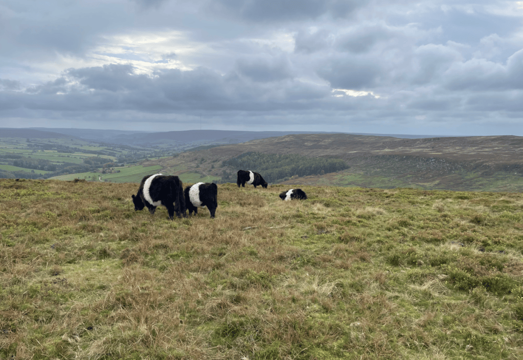
After some simple scrambling we were through the Wainstones and on White Hill. Angela liked the cute Belted Galloway cattle that were grazing here. Black with a broad white band around their middle they are also known as ‘liquorice allsort’ cattle. They are hardy cattle and ideal for grazing these high, exposed hills.
Belted Galloway Cattle
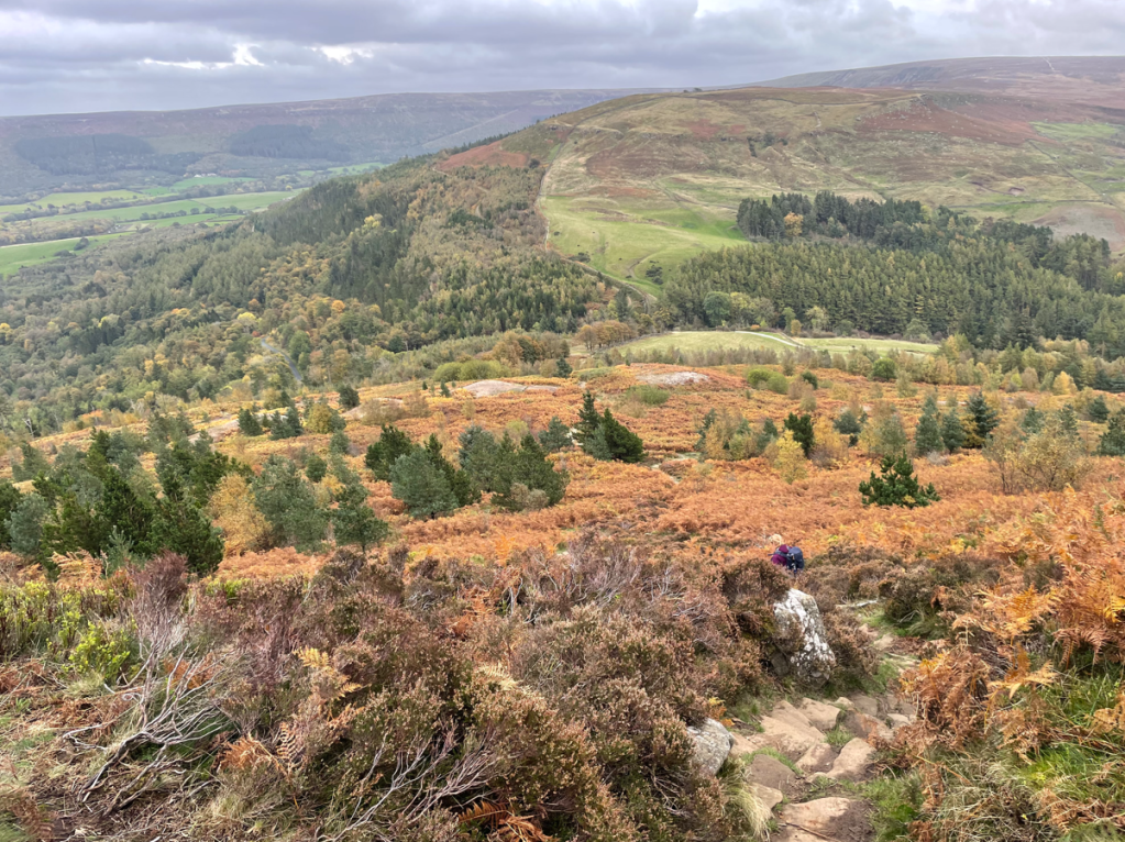
Finally, we had another long, very steep descent down to Clay Bank to pick up my car. We were both very tired at this stage, it had been a hard walk! We saw the beginning of the next leg which would take us to the highest point, Round Hill on Urra Moor, within the North York Moors Park. The plus side is that once we are up it is a gentle coast down to Kildale- the destination of our next leg.
Can you spot Angela on the rocky path down to Clay Bank?
Today’s section of the inland Cleveland Way has been my favourite – the views are amazing. Tomorrow we will take a rest day and chill.
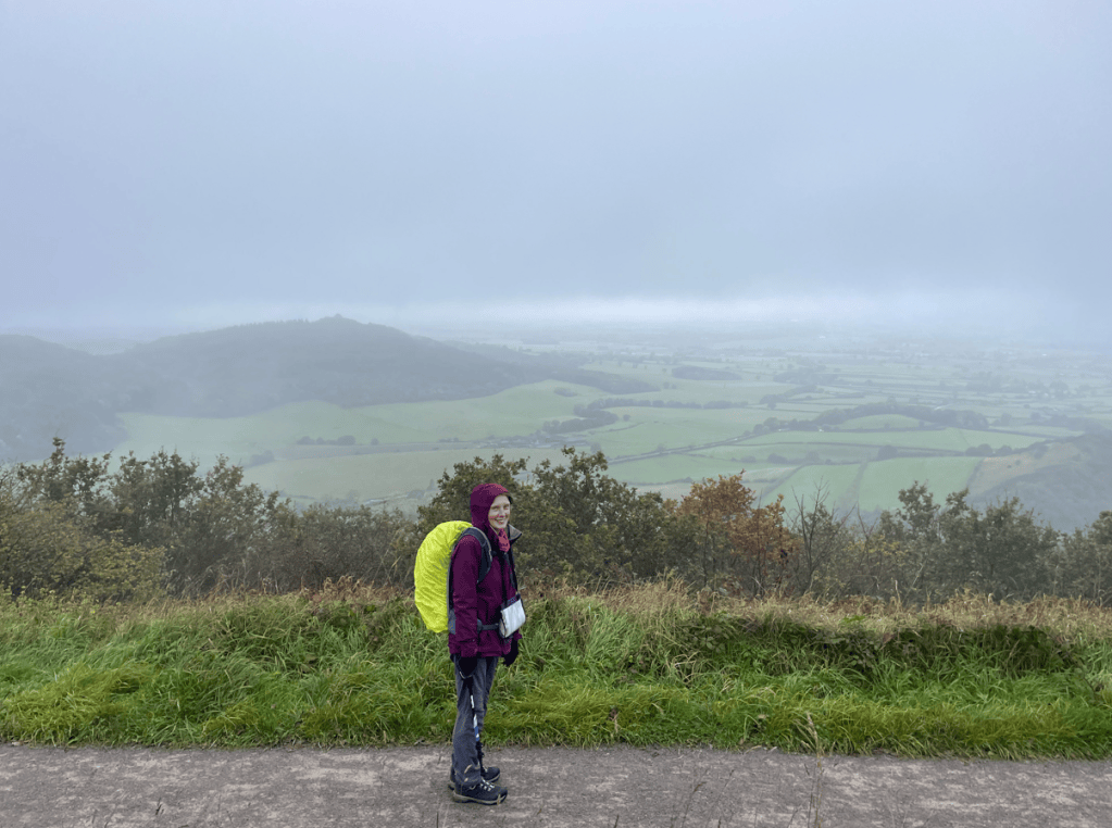
Today, Angela and I did another leg of The Cleveland Way – Sutton Bank to Osmotherley. It was a 12.5-mile walk mostly in the rain and mist so views were limited. This was a shame because this section does have fabulous views.
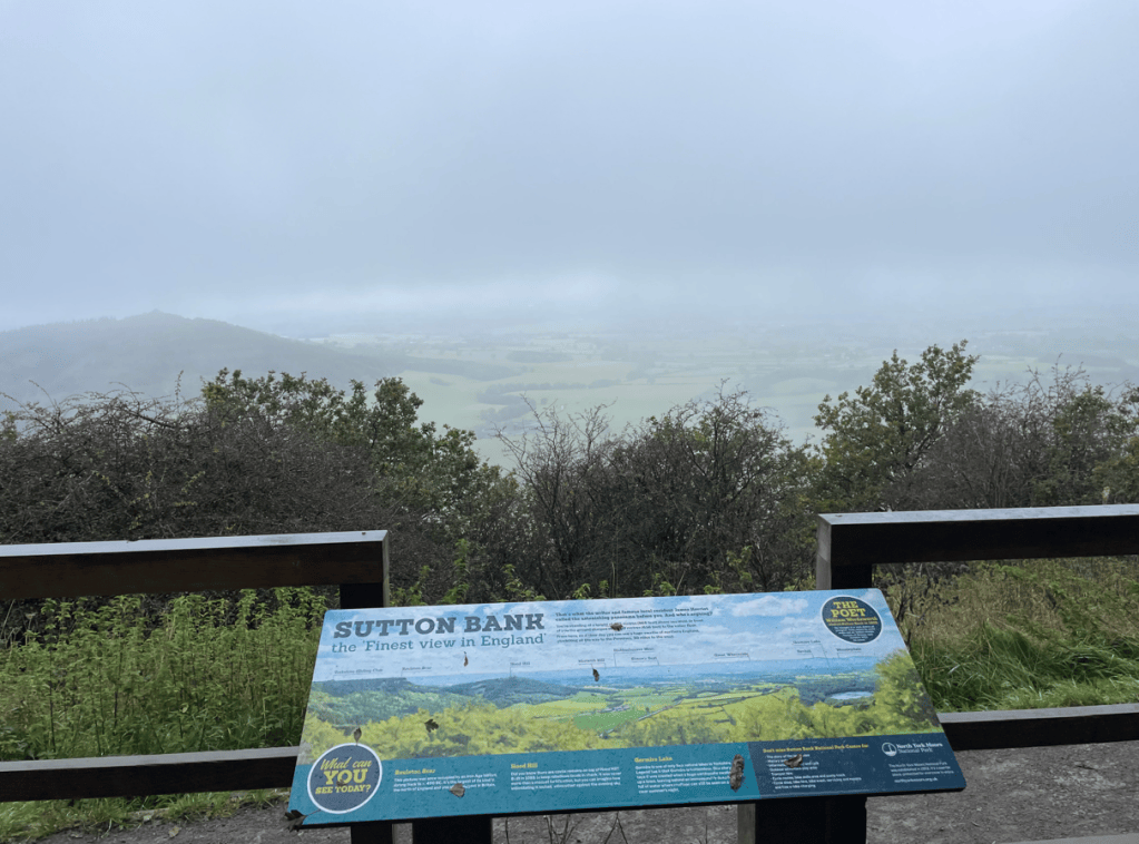
The car park at Sutton Bank was empty when we arrived early in the morning. Shortly after setting off we passed a viewing point and information board entitled ‘The finest view in England’ – apparently the poet Wordsworth stood here and was inspired to write one of his poems. Today however, the view was obscured by mist.
The finest view in England?- not today!
Occasionally, we got a tantalising glimpse through the mist.
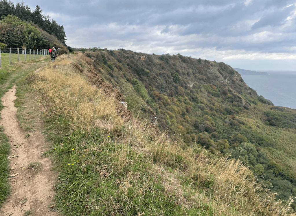
The initial part of the walk was along the top of the escarpment with the rain blowing in horizontally. It was so frustrating to know we were missing the views. A brief stop for a scotch egg boosted my morale.
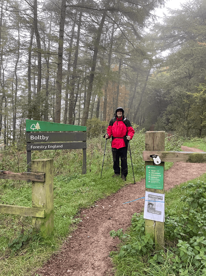
Our next port of call was through Boltby Forest – we were pleased to reach here because we were partially sheltered from the wind and rain.
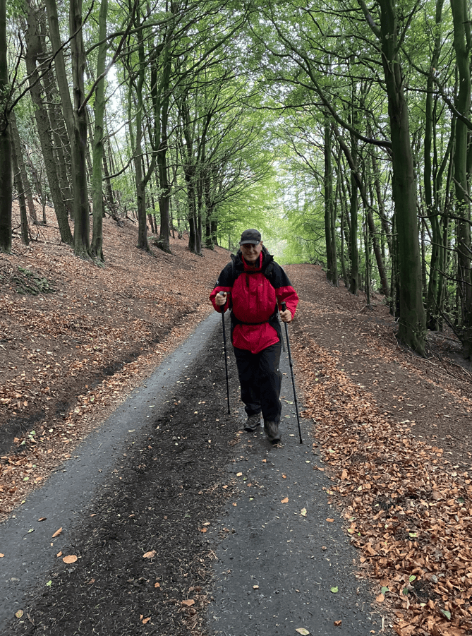
Getting a shift on
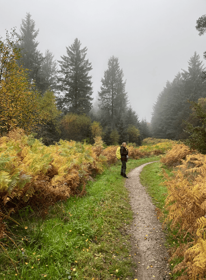
The bracken was changing to autumnal colours and looked strikingly vivid.
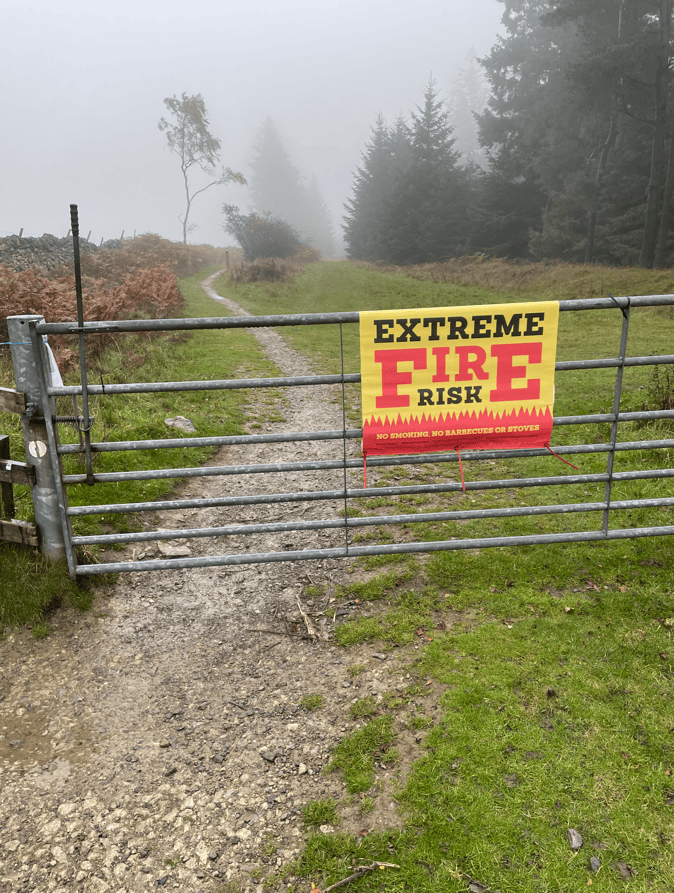
After leaving the forest we entered moorland and at the start there was a sign about fire risk. The North York Moors suffered from serious fires this summer.
I enjoyed the moorland section today, the path was good and I felt a sense of openness and space.
After a good few miles across the moorland we headed down a path towards Osmotherley – it had stone flagstones and was extremely slippery! We took our time descending.
The final couple of miles to Osmotherley was a series of ascents and descents – not what you need after at the end of the walk.
We arrived at Osmotherley soaked to the skin and picked up Angela’s car to take me back to Sutton Bank to pick up my car. As per yesterday my phone had no signal and proved the final frustration of the day.
Tomorrow, we will be doing the next leg of The Cleveland Way – Osmotherley to Clay Bank. We are looking forward to it.
Angela and I have returned to North Yorkshire to walk the inland section of The Cleveland Way, Helmsley to Saltburn-by-Sea. We had completed the last leg of the Cleveland Way coastal section a couple of weeks ago and the whole walk had been just a wonderful experience.
The weather forecast is not auspicious for the week but today we began our journey, and completed leg 1 from Helmsley to Sutton Bank in good weather.
It was a quiet Sunday morning when we arrived into Helmsley and parked in the long stay car park. The church bells were ringing but unfortunately it was not a pleasant experience, as the ringing seemed out of sync!
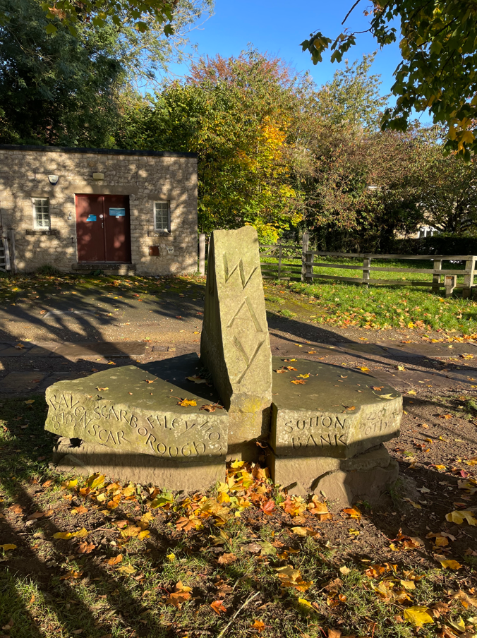
Glad to be leaving Helmsley we soon passed the sculpted marker stone for the start of the Cleveland Way. There is a similar marker at Filey Brigg.
Marker for the start of The Cleveland Way.
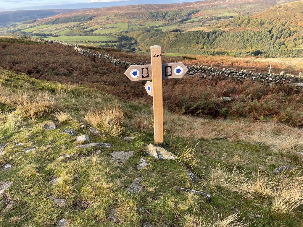
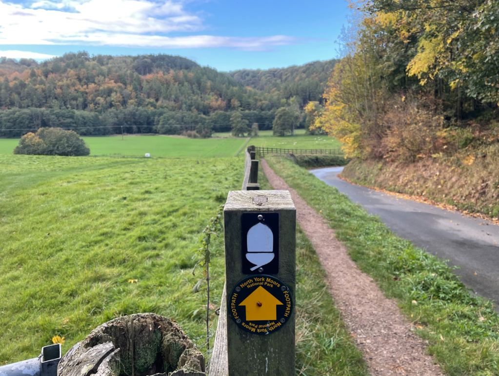
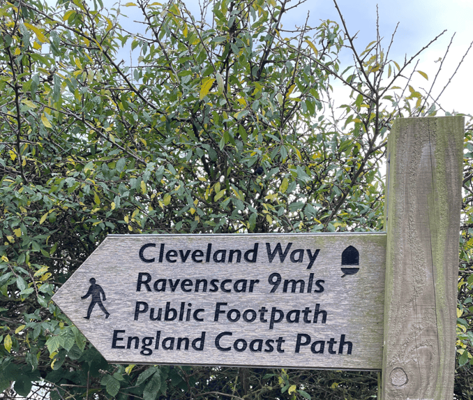
We started a steady climb upwards towards through woodland, valleys and the gently rising limestone slopes of the Hambleton Hills. We would meet very few walkers along the way. We were headed towards Rievaulx Abbey, a majestic ruin, but didn’t manage to glimpse the Abbey. Signage was good and we were following the acorn.
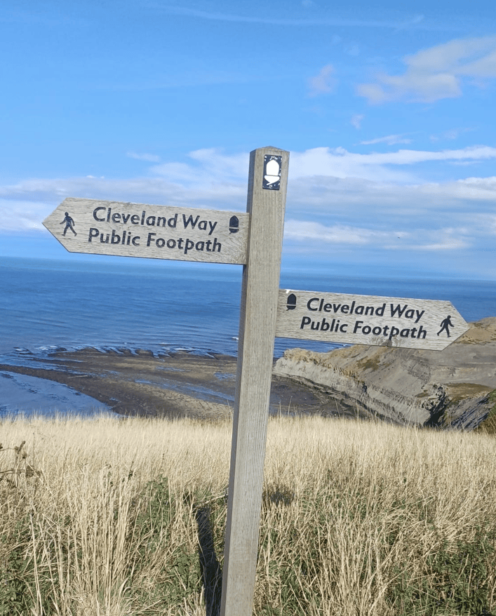
Follow the acorn
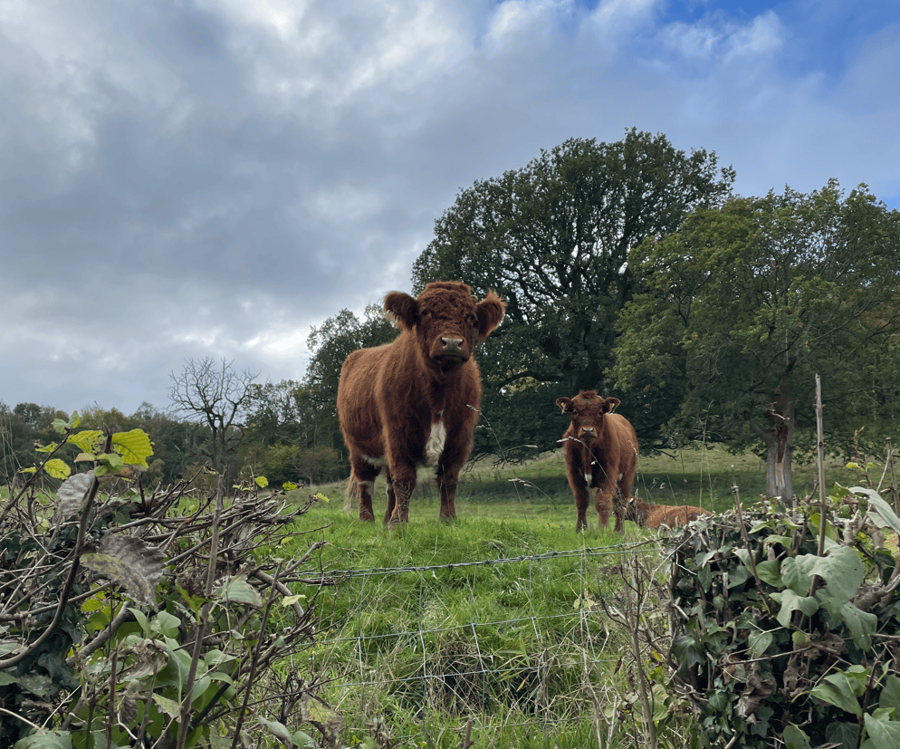
We were happy to see a cute cow with its calf.
Cute cows
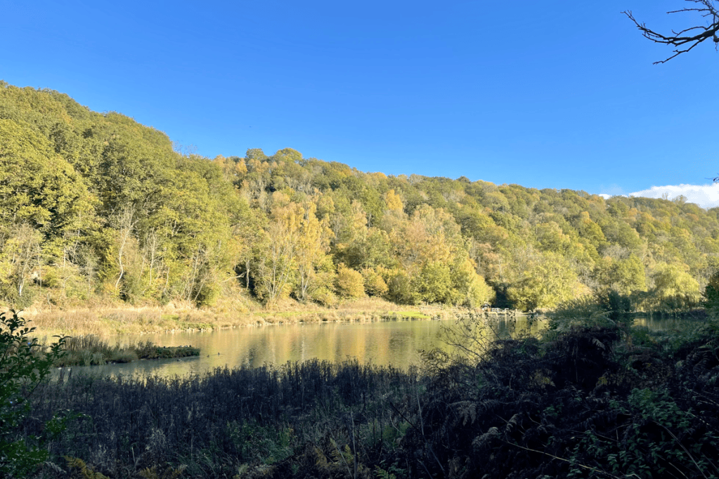
We found ourselves walking along good stone tracks adjacent to lakes. The trees were turning autumnal colours.
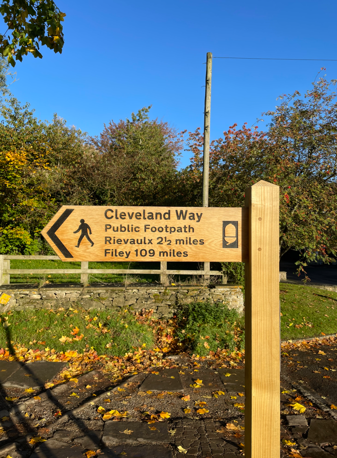
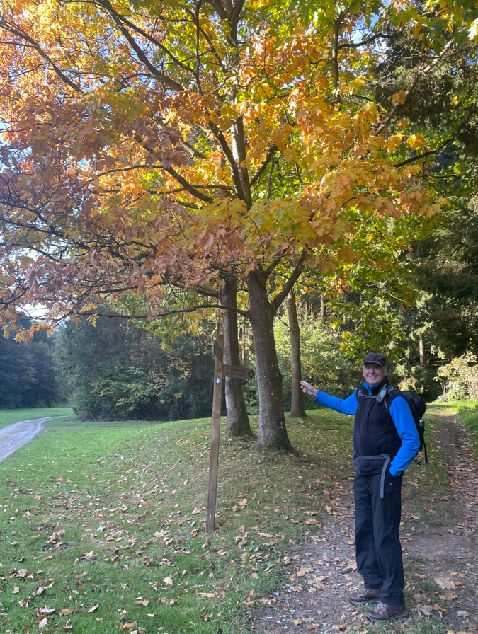
Pointing at the sign
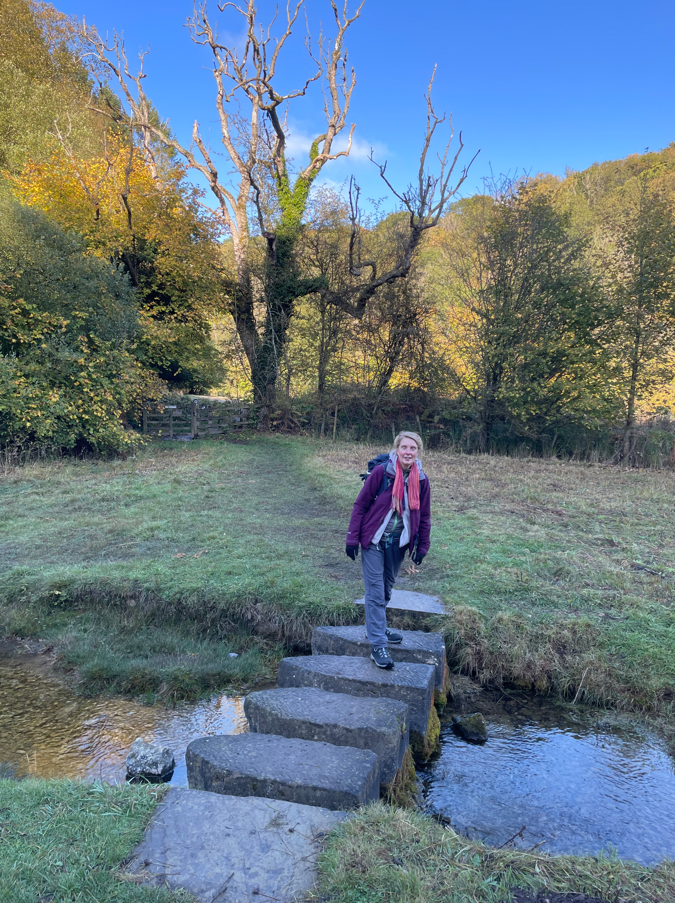
A few stepping stones led us into woodland section where we had to clamber over fallen tree branches and avoid the dead bodies of Pheasants – had there been a shoot?
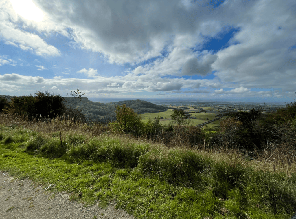
We passed through the quiet village of Cold Kirby and soon we arrived at Sutton Bank where we took a lunch stop on the Hambleton Escarpment enjoying the views.
There is a Glider Club based here and we watched as the gliders flew around in front of us. We could have walked along the escarpment to where the White Horse of Kilburn is situated but, as we had done that walk on another occasion, we decided not to mainly because it was very busy with people.
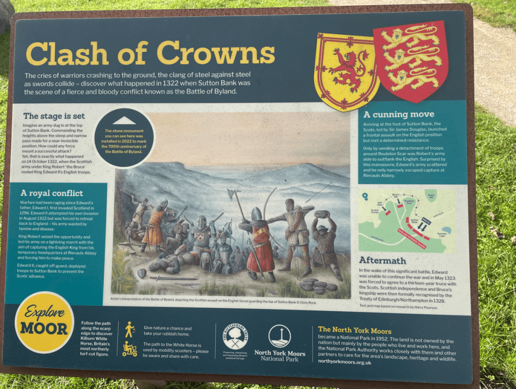
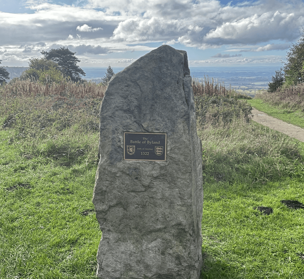
The escarpment was the scene of the Battle of Byland in 1322 and there was an information board there and a stone.
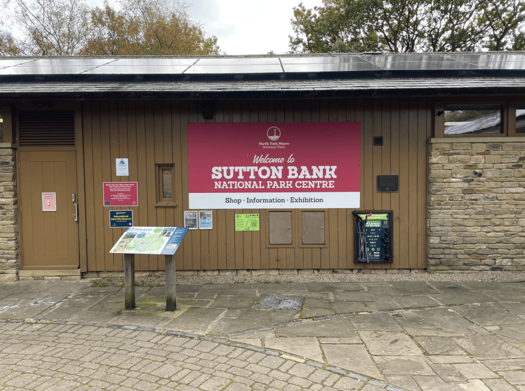
We decamped to the busy National Park Centre where we visited the souvenir shop and then retrieved Angela’s car to drive me back to Helmsley to pick up my car.
At Helmsley I found that my mobile phone had no signal so had a frustrating time navigating back to our cottage.
Tomorrow, we are planning to walk from Sutton Bank to Osmotherly, so fingers crossed for some decent weather.
Today, Angela and I walked another section of the Cleveland Way along the Yorkshire Coast from Whitby to Port Mulgrave 13-miles.
It was a clear blue sky day as we walked from our overnight accommodation to pick up the Cleveland Way again.
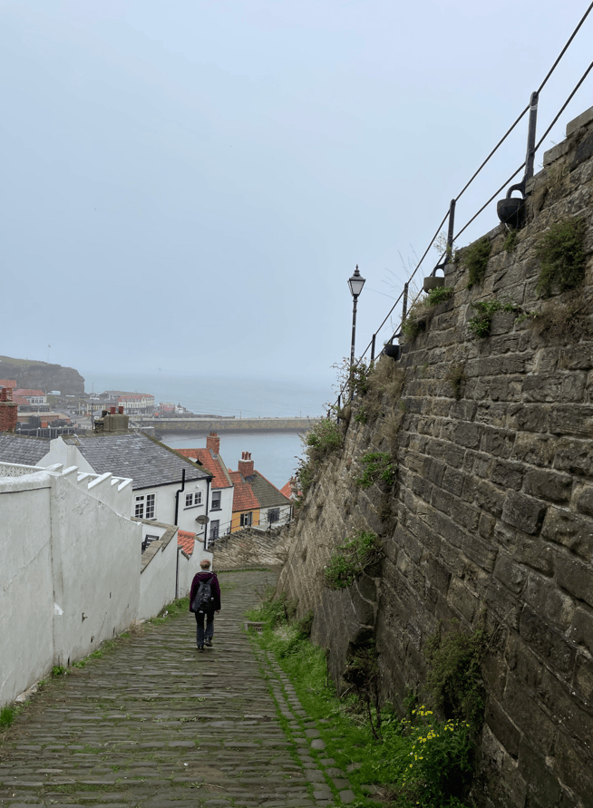
Whitby
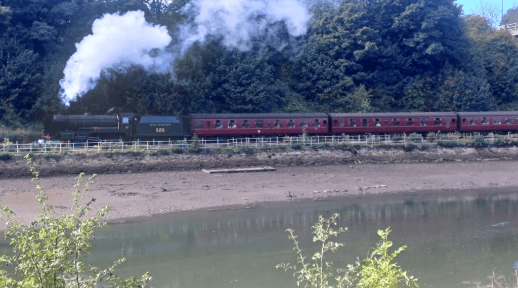
If you are lucky you might just see a steam train leaving Whitby beside the River Esk.
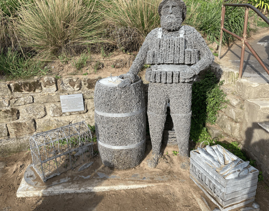
At the bottom of the steps leading to North Cliff we passed an interesting sculpture of a man called Henry Freeman wearing a life jacket – he was the sole survivor of the Whitby lifeboat disaster in 1861 because he was wearing a cork lifejacket- a new concept.
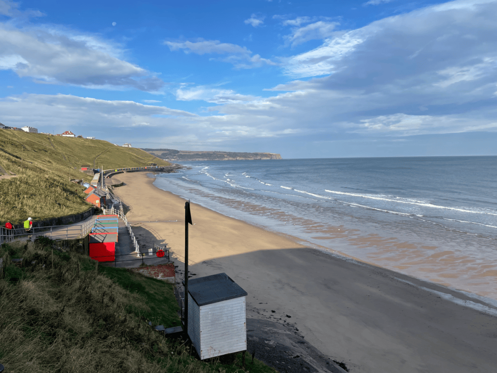
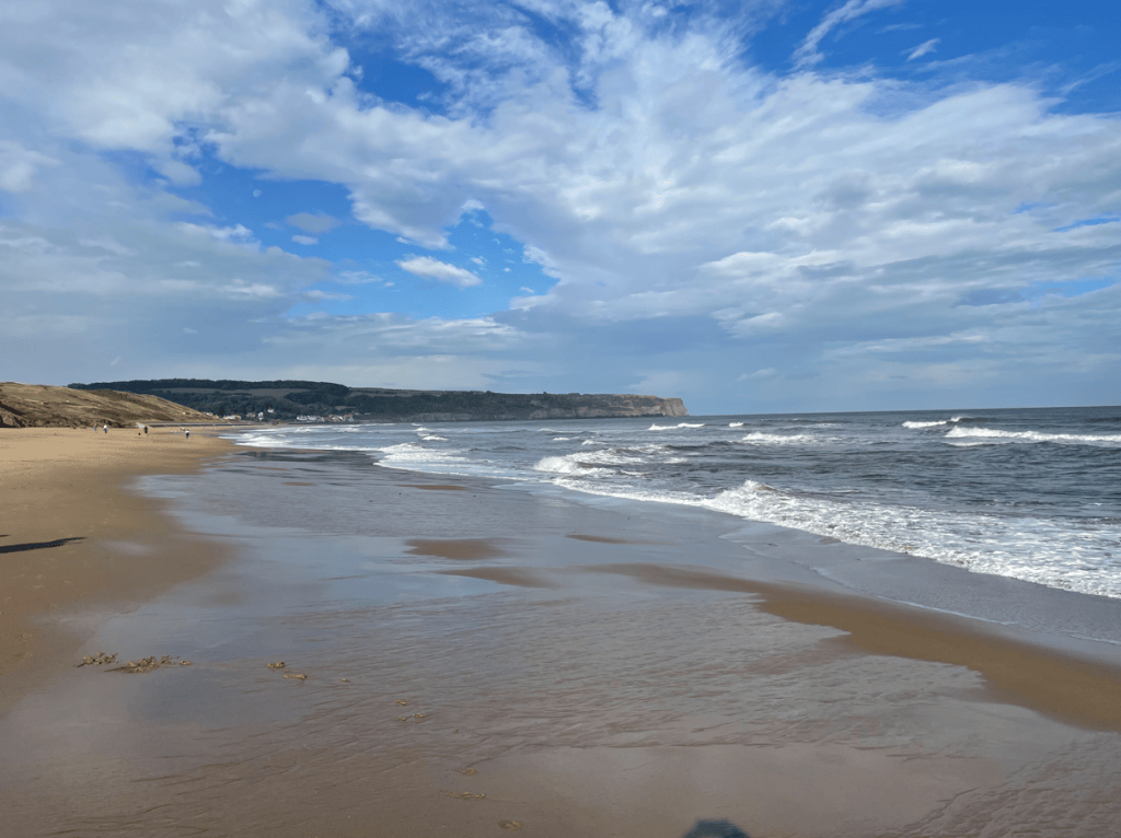
Having viewed Captain Cooks statue at the cliff top we dropped down onto the promenade and walked along the beach towards Sandsend.
Dropping down from North Cliff Whitby to the beachHeading for Sandsend.
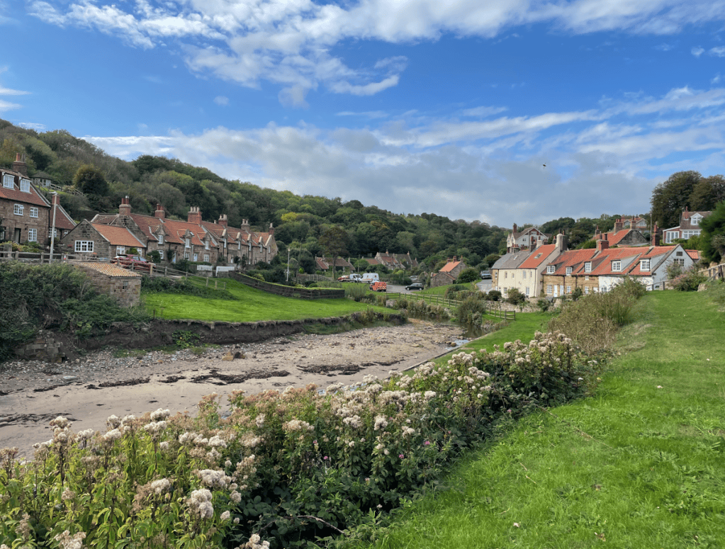
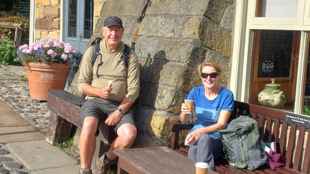
Sandsend is the village where the sand ends and rock cliffs begin. We stopped for a break in Sandsend and admired the old cottages built by the Mulgrave Estate for workers in the Alum Industry.
Cottages in SandsendOn a break in Sandsend
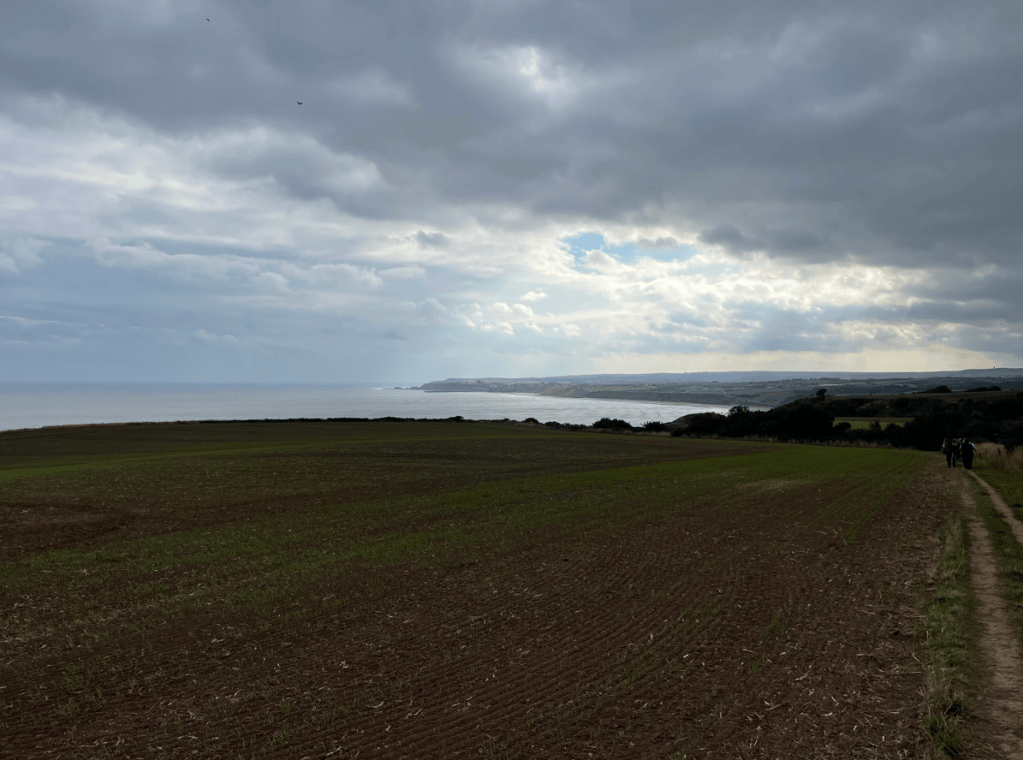
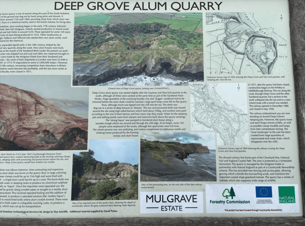
After a nice break we headed uphill to the cliff top and followed the cinder path of the old coast railway which closed in 1958. Alum quarries were either side of the railway – these stopped working in 1871.
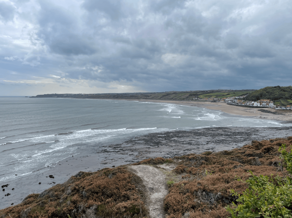
View of Sandsend from the cliff top
The clouds started to gather and it wasn’t long before we had some light rain.
There was evidence of the Alum quarrying along the way. The rain has passed over and the sun was out once again.
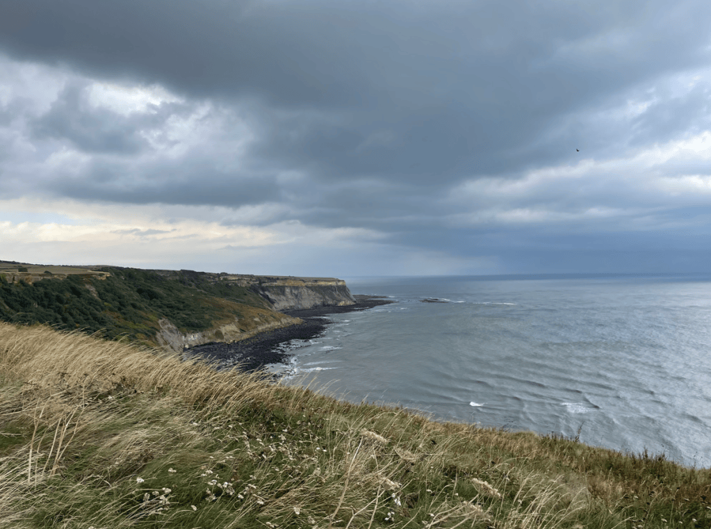
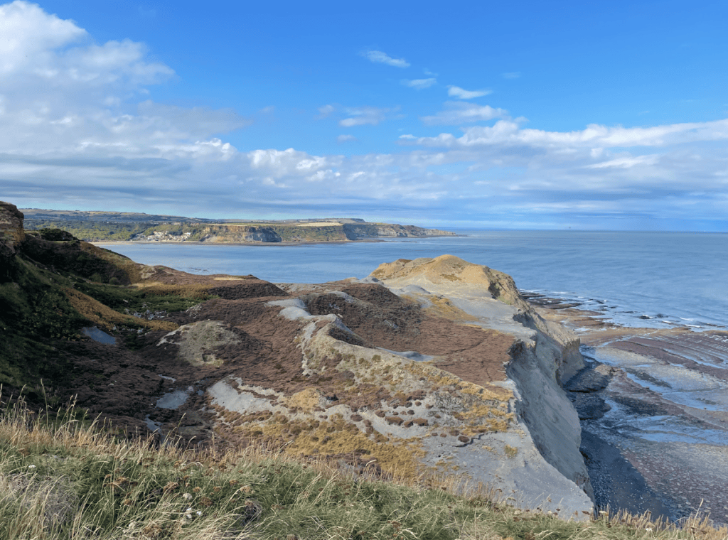
quarrying scars on the cliffs
Along the way we could hear the sounds of seals calling to each other – they were basking on the shore. Our next stopping point was Kettleness- a tiny hamlet south of Runswick Bay. Most of the original village was lost in a landslide in 1829. Here there were a few benches so we took a short break and admired more views.
We continued along enjoying the moment and Runswick Bay soon came into sight.
Runswick Bay in the distance
We arrived into Runswick Bay via the beach – well of course we did!
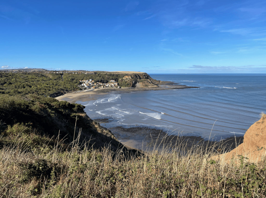
I thought that this village was lovely and it was amazing to chill out and watch the waves rolling in. Inevitably we had to move on. We climbed up onto the cliffs again and got more super views.
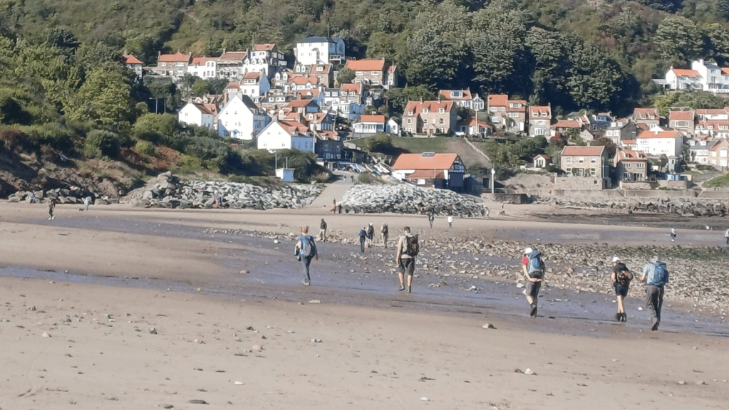
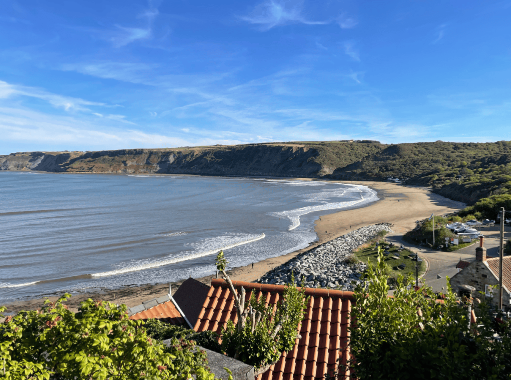
View of Runswick Bay as we left
Our final stretch of the day was to Port Mulgrave. Back in the day Ironstone was quarried here from the cliffs and sent via boats to Jarrow on Tyneside. The harbour wall was blown up in 1939 by Royal Engineers to prevent the port being used by invading German forces.
And so, todays lovely walk concluded. Tomorrow we will finish the coastal section of the Cleveland Way walking to Saltburn
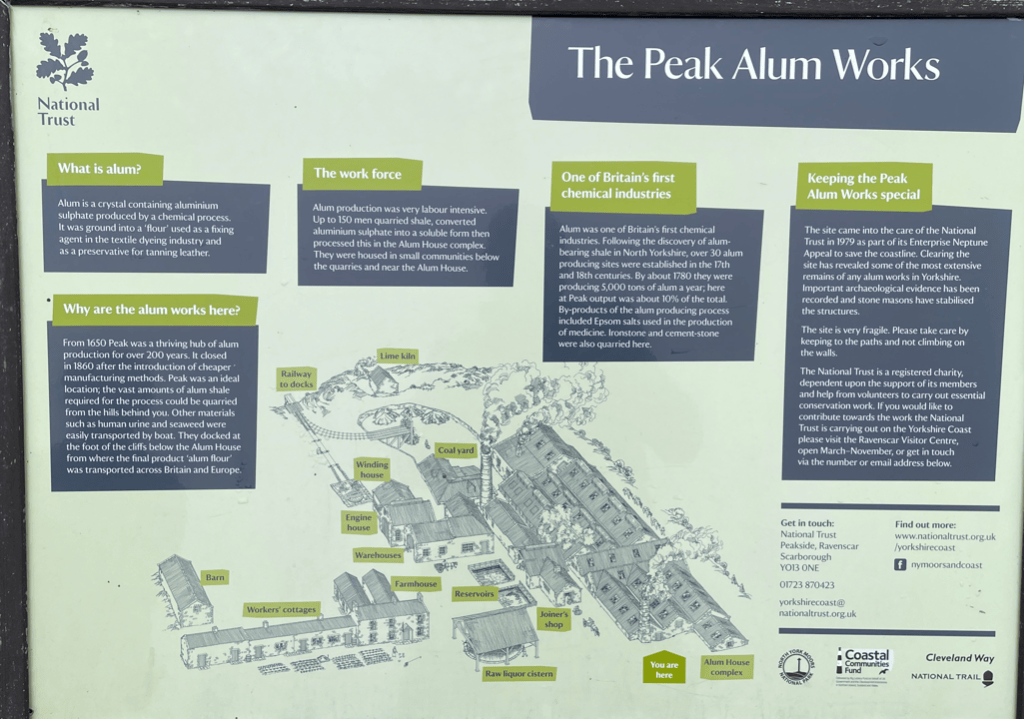
Todays walk was leg 3 of the coastal section of the Cleveland Way – Ravenscar to Whitby. It was 13-miles on a day which would turn out to be misty but had nice surprises. We set off from Ravenscar passing the ruins of an old Alum works where we learnt something about its history.
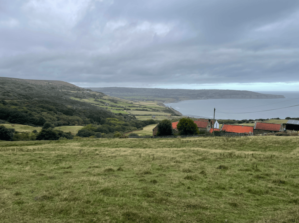
In the distance we could see Robin Hood’s Bay, our first port of call.
View of Robin Hoods Bay
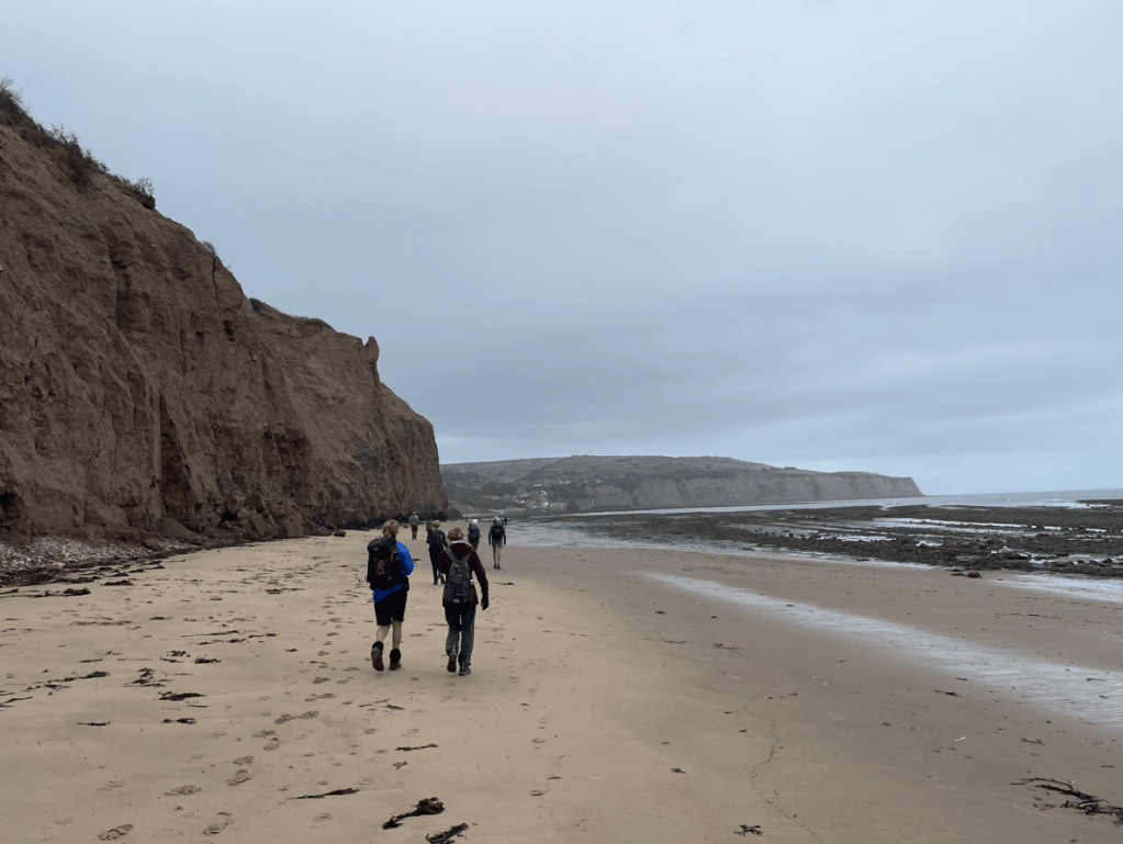
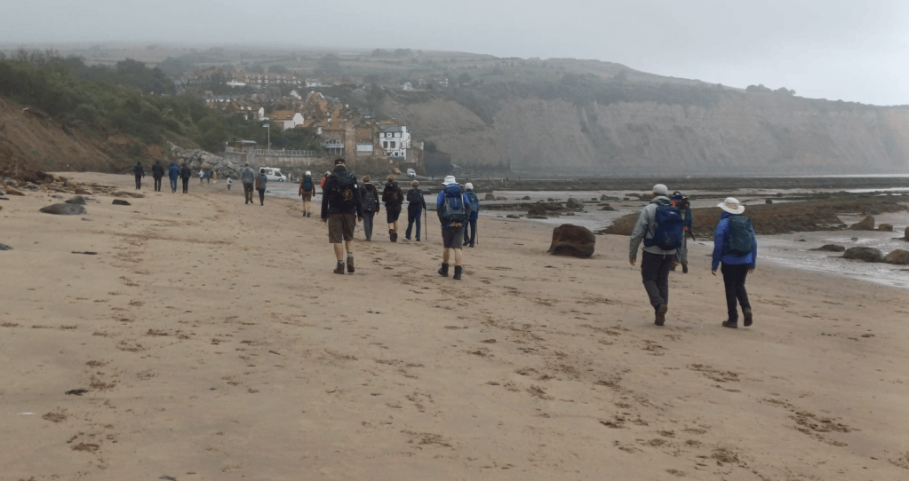
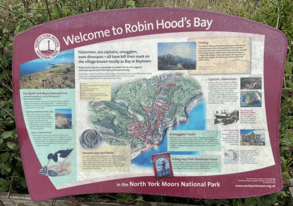
From the high cliffs of Ravenscar we descended down gradually towards Robin Hood’s Bay – an old fishing and smuggling village. We walked along the beach towards the village being wary of the potential risk from slabs of cliff falling off.
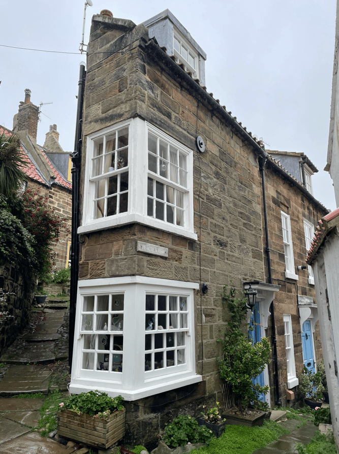
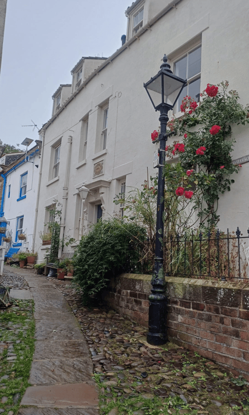
Here we stopped for a break and then explored the village. The quaint old cottages were a delight.
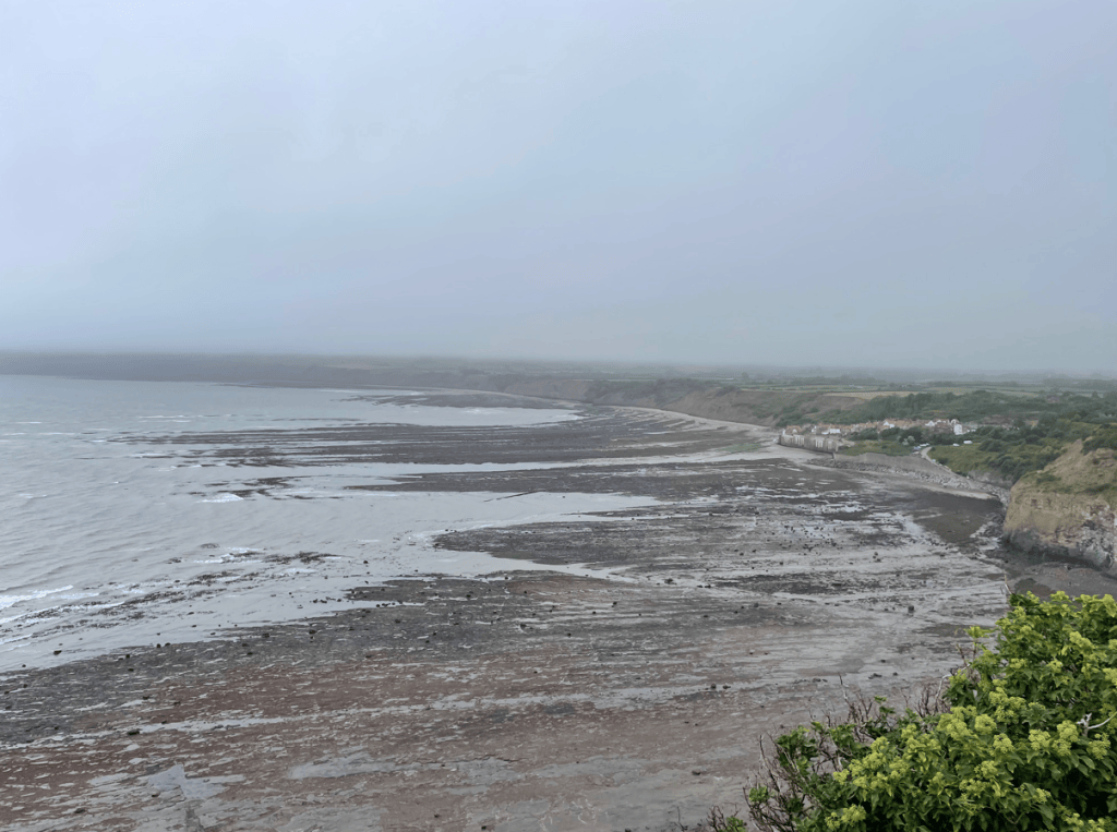
Climbing out of Robin Hood Bay we had a good view across the bay even though the mist was chasing us. Doing the walking, and especially the steps, day after day certainly gets you fitter.
Robin Hoods Bay
We passed a model of a rocket tower where people practiced the skill of firing a rocket ( with cable attached) to a ship in distress to enable rescues.
Rocket tower
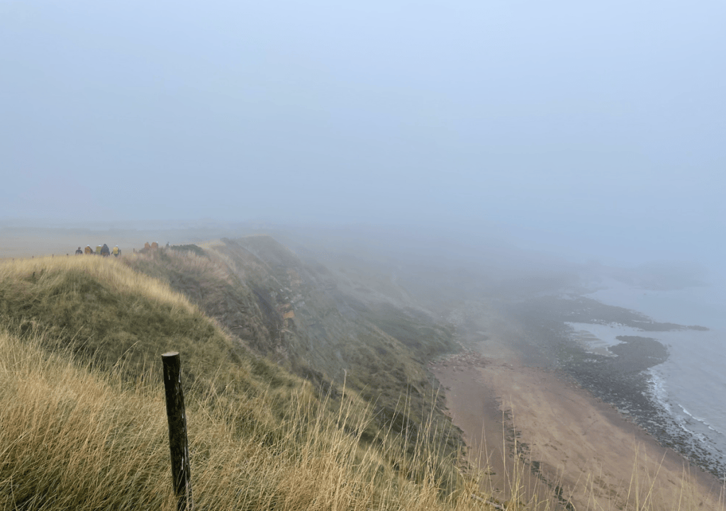
The walk along the cliff top was good with nice wide footpaths.
And then the mist came in again and visibility dropped.
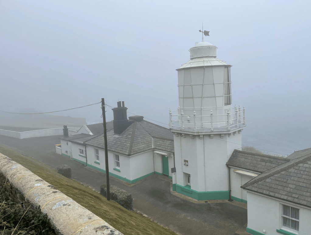
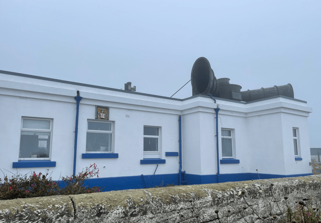
We passed the light house and then the house where the fog horn was mounted.
Light HouseFog horns on the roofClose to Whitby
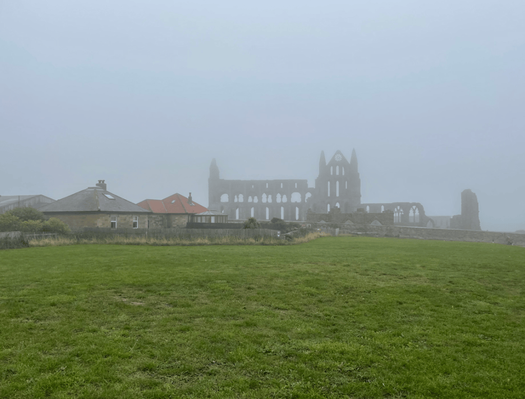
Soon, we were passing the ruins of Whitby Abbey in the mist.
By the Abbey we stopped for a coffee in the excellent YHA cafe and then headed down into the town and a steep walk uphill back to our accomodation.
Tomorrows walk from Whitby to Port Mulgrave is looking like it might be a wet one. Fingers crossed that the forecast improves.
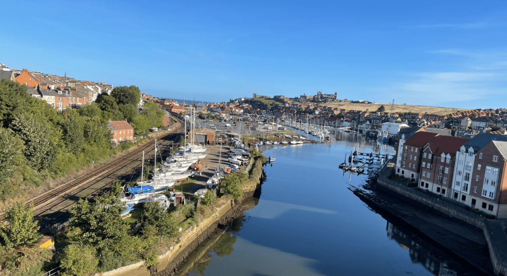
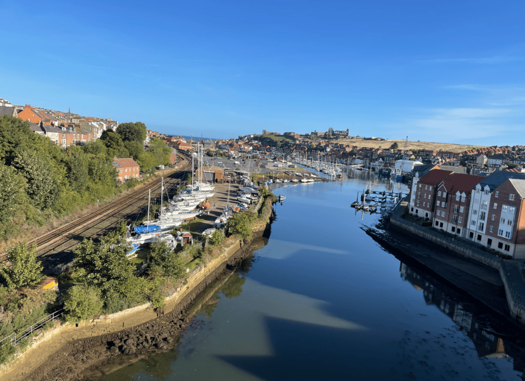
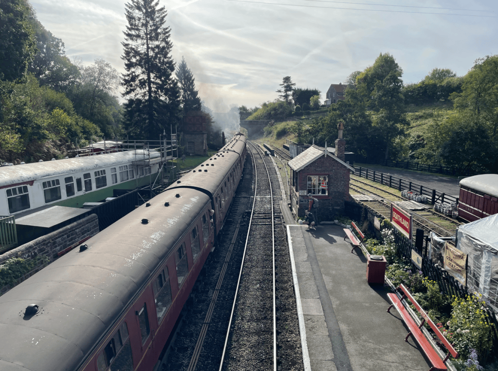
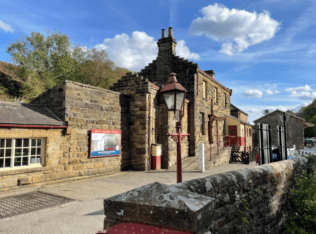
Today, Angela and I enjoyed an 8-mile circular walk from Goathland to Grosmont and back. We travelled to Goathland using The North Yorkshire Moors Railway. Firstly we walked a mile from our accomodation to Whitby Station getting a glorious view of Whitby from the road bridge across the River Esk.
Whitby
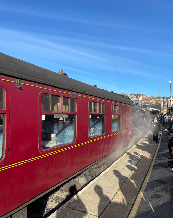
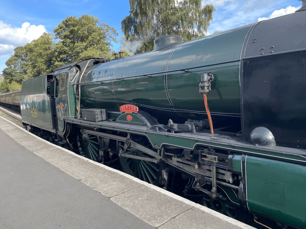
You can’t beat a steam train trip.
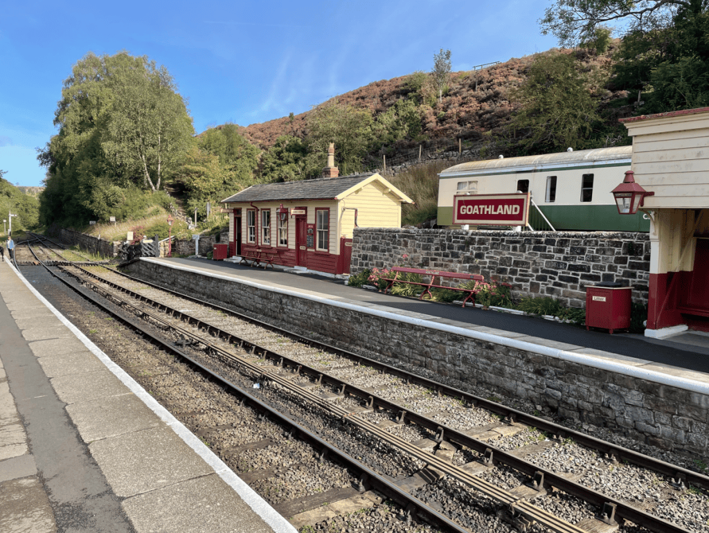
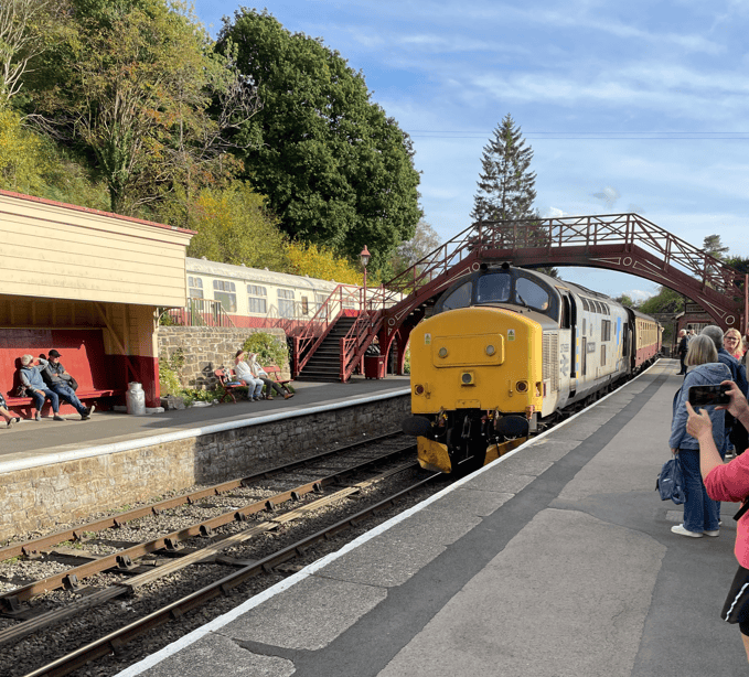
The LocoGoathland Station
It was a nice nostalgic trip, swaying to the motion of the train and listening to the clickety clack of the wheels across the rails. We enjoyed a coffee along the way.
Arriving at Goathland we began our walk, heading off through the village and across the moorland.
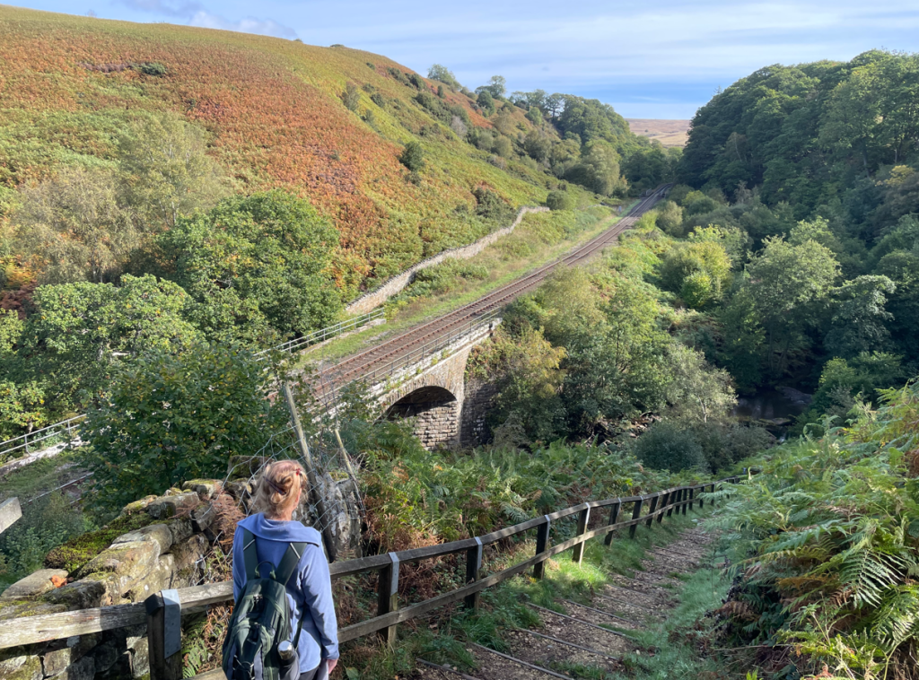
The walk to Grosmont station was peaceful with a nice wooded section. No one was around.
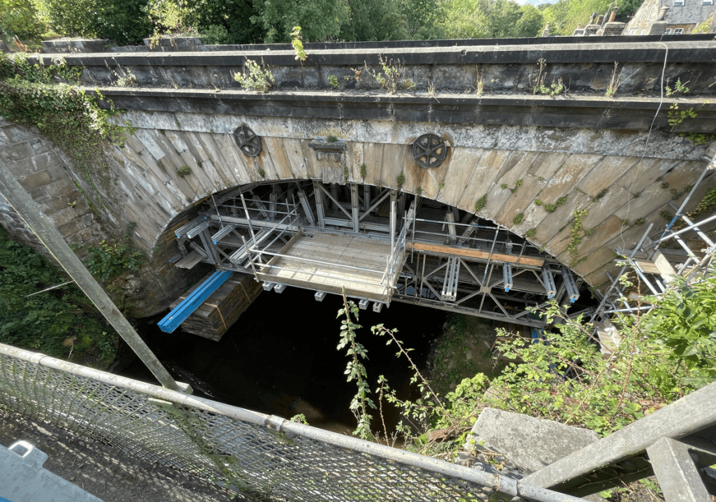
Arriving into Grosmont we took a look at a railway bridge over the river Esk that needs remedial work.
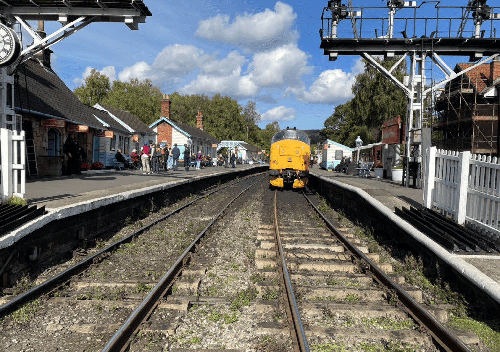
Gromont Station
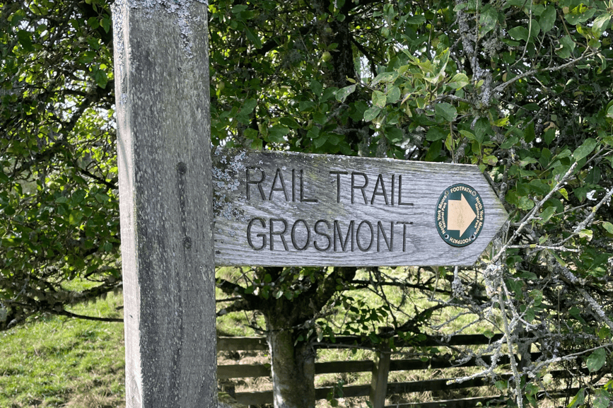
After viewing the station we headed off back to Goathland following the Rail Trail along a disused railway line.
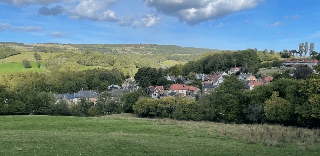
Climbing out of Grosmont we enjoyed a great view of the village.
Grosmont
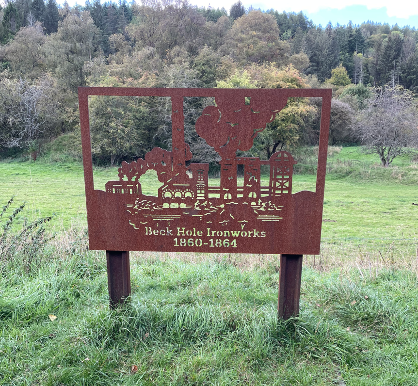
We passed the site of a former Ironworks which was marked with a nice sculpture.
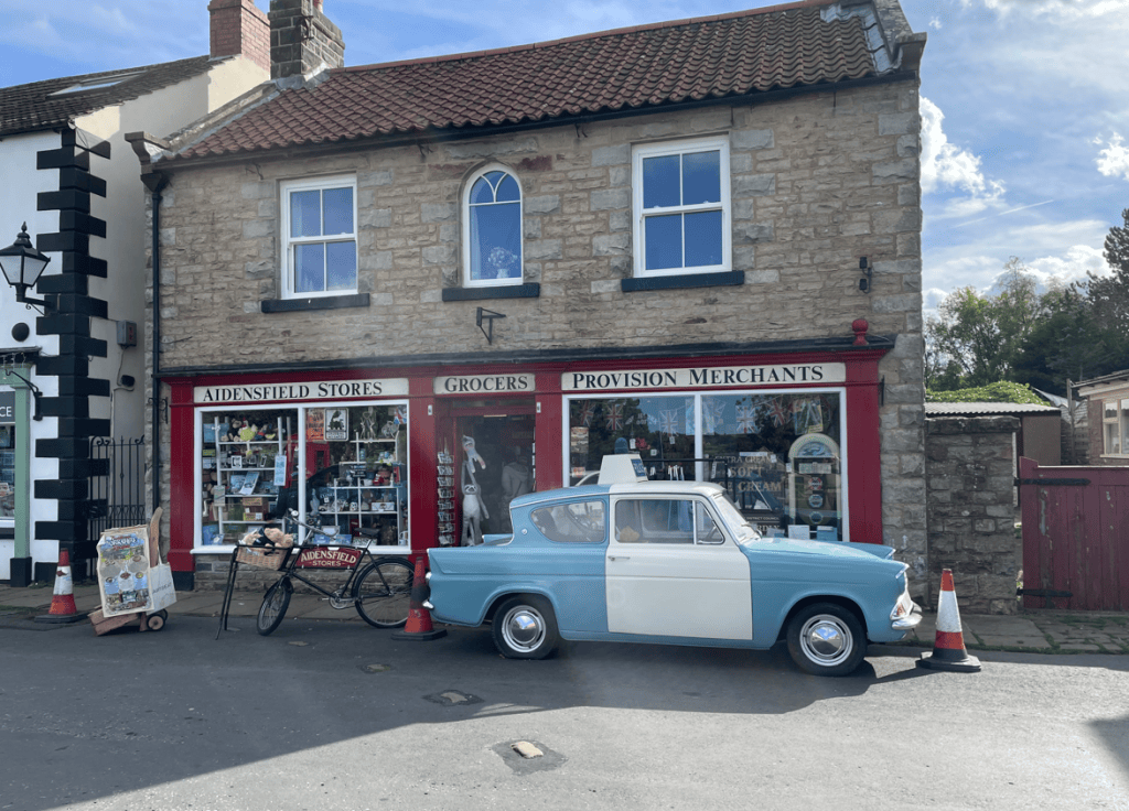
We had a very steep incline to walk up to reach Goathland once again. Goathland was the location for a very popular tv series called Heartbeat which was set in a village called Aidensfield. Some of the shops still display Aidensfield in their name.
Remember this?
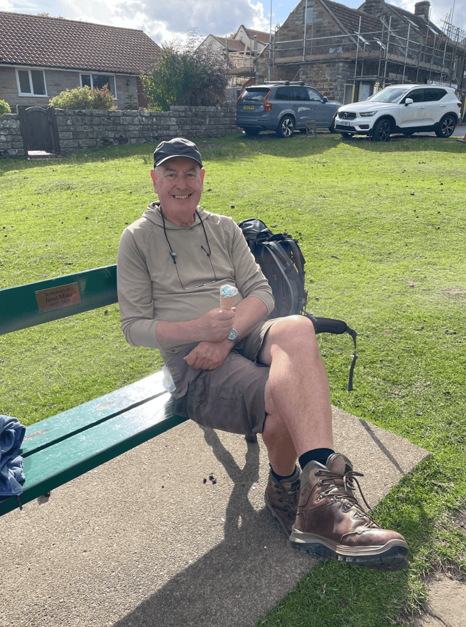
I enjoyed a nice ice-cream looking at the sheep that wander around the village keeping the grass low.
Finally, we walked to the station to catch a diesel hauled train back to Whitby. The station was used in a Harry Potter film.
We had enjoyed a splendid day out in the autumn sunshine.
Today, Angela and I enjoyed walking the second leg of the coastal section of the Cleveland Way- Scarborough to Ravenscar.
It was slightly chilly and cloudy as we set off from North Bay, Scarborough.
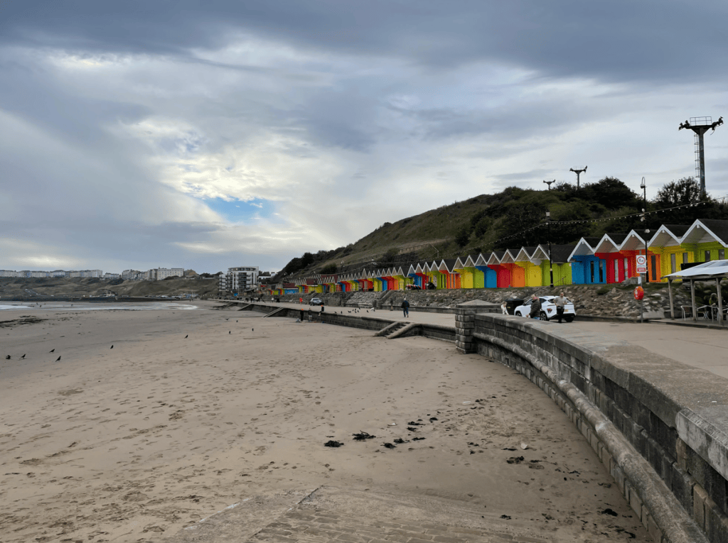
Colourful beach huts in Scarborough North Bay
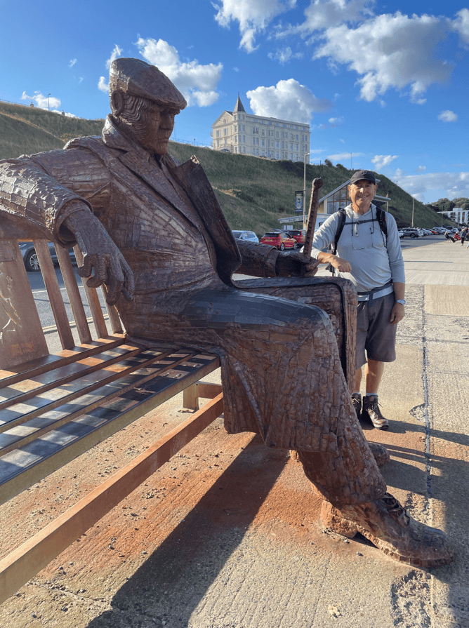
I forgot to put a photo of the fantastic sculpture that can be found on the promenade at North Bay, so here it is from yesterday’s walk. Quite big!
At Scalby Mills we had a short climb on to the cliffs. The miniature steam train was blowing its whistle – pity we don’t have time to take a trip. The sign post pointed the way.
There were very few people walking today so I was pleased about that.
Leaving Scarborough
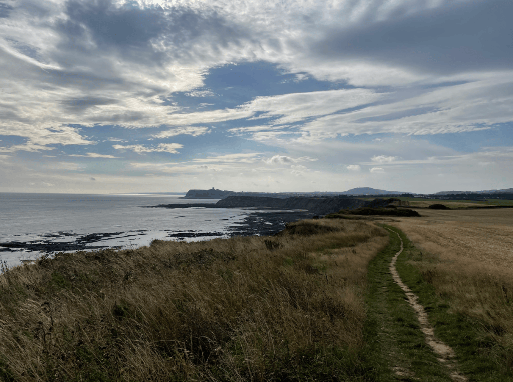
Initially, it was a reasonably flat walk along the cliff tops. It was quite windy though, with the odd splatter of rain. Looking back to Scarborough we could see Scarborough Castle, Filey Brigg and further in the distance Flamborough Head.
Distant views of Scarborough, Filey Brigg and Flamborough Head
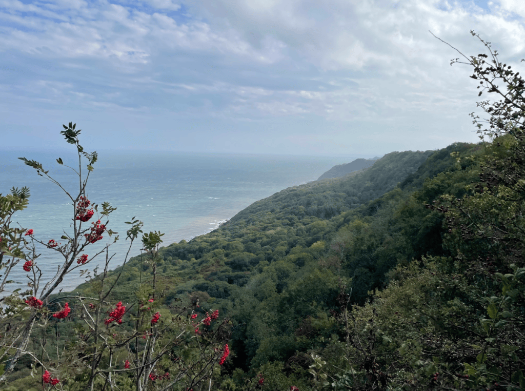
The green coast lay ahead – with the woodland of Hayburn Wyke now visible.
Hayburn Wyke ahead
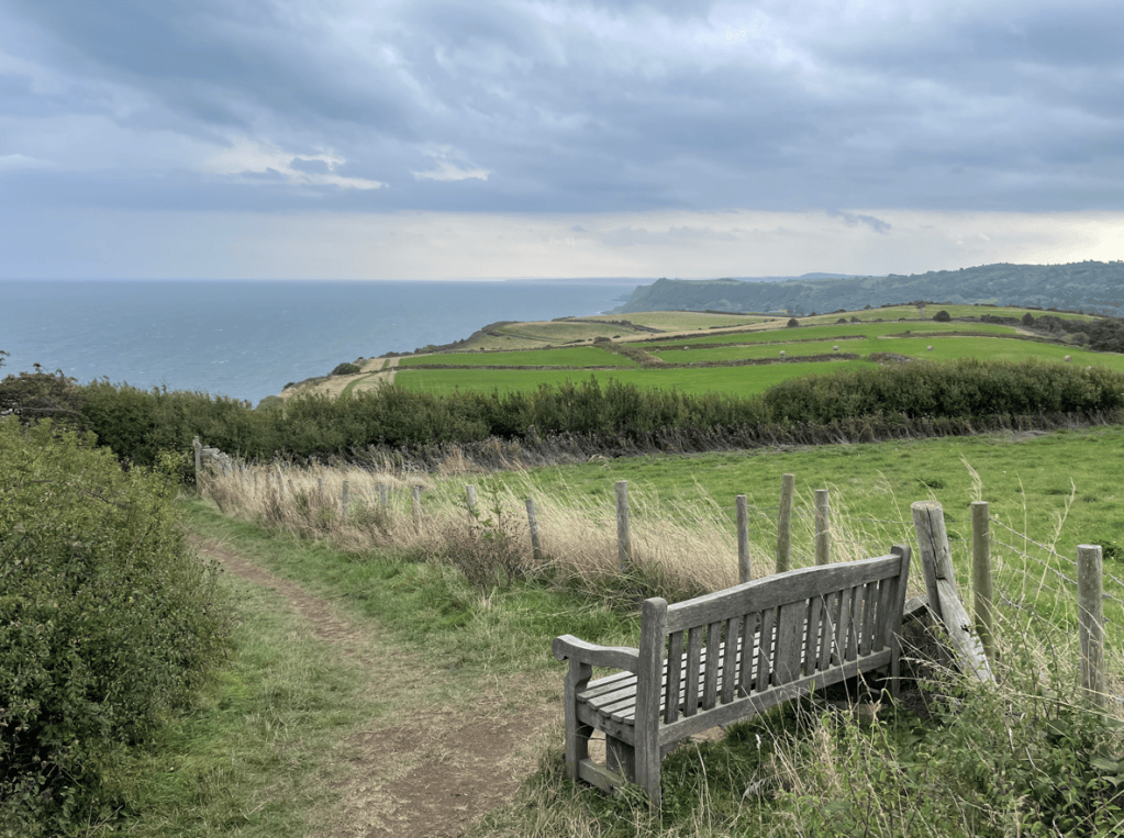
We took a lunch stop at this bench with a view. It was a great spot.
Heyburn Wyke was a challenge – many steps down followed by many steps up. It definitely got the heart rate up.
Vegetation on the undercliff
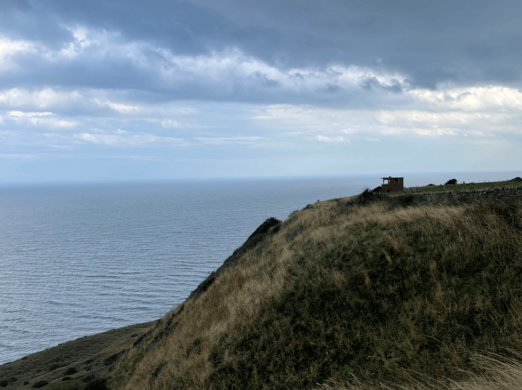
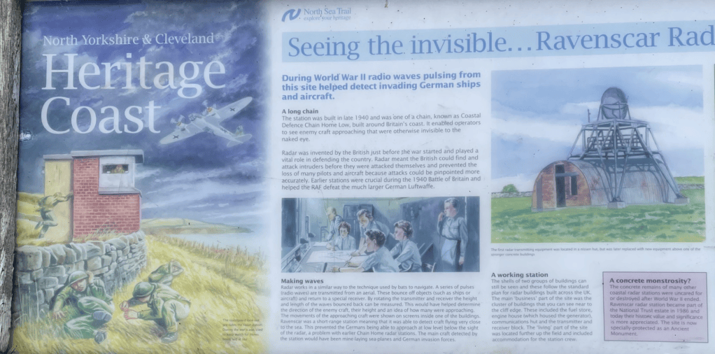
We had a steady climb upwards towards Ravenscar. The undercliff contains a lot of vegetation. Further towards Ravenscar we would see the highland cattle that now live here in an attempt by The National Trust to reduce the vegetation. We also saw the remains of an old wartime radar station.
Observation post for old wartime Radar stationInfo board by Radar stationArriving at Ravenscar
A final incline brought us to Ravenscar, known as the town that never was. There are a few houses here and a very nice tea rooms (which we enjoyed). In 1885 the Scarborough to Whitby railway opened, speculators bought the land at Ravenscar (having seen the success of Scarborough and Whitby) and planned a town. Roads were put in and a railway station but the one drawback was that the town would sit on the cliff tops and there would be no beach! Pretty fundamental for a successful seaside resort I would have thought. Basically, the scheme failed. Finally, in 1965 the railway station closed so the area became more isolated. Today, its a walkers/cyclists paradise.
Our walk ended here today. Our next leg would take us from Ravenscar to Whitby. I am looking forward to that – |I am thoroughly enjoying the Cleveland Way.