Hello and welcome back to my blog 😊.
Today, the Three Amigos revisited Hambleton peninsular at Rutland Water and enjoyed a leisurely 5.8-mile circular walk. The weather forecast suggested a high probability of light rain. As usual, it turned out that the forecast was wrong and we encountered zero rain, which was fortunate.
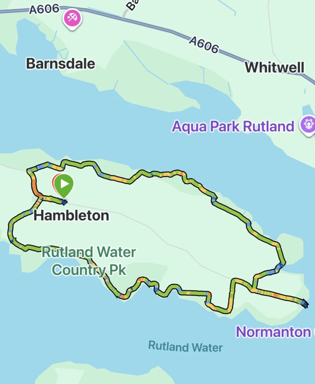
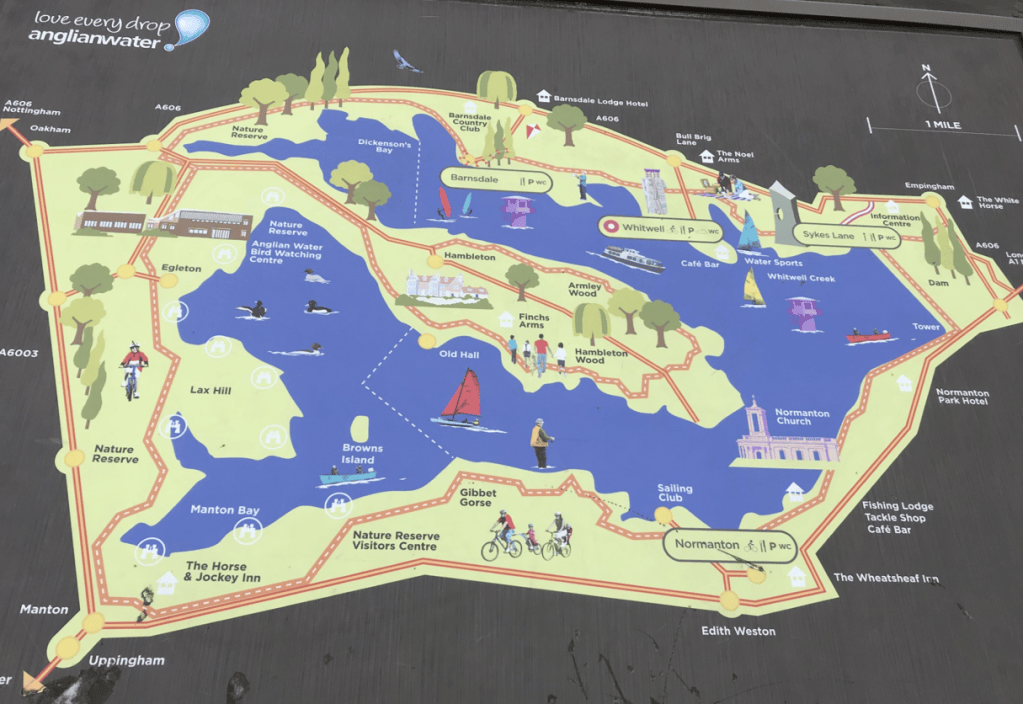
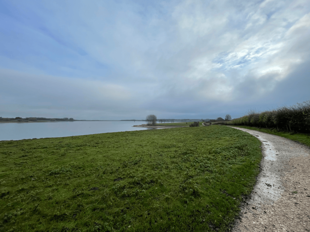
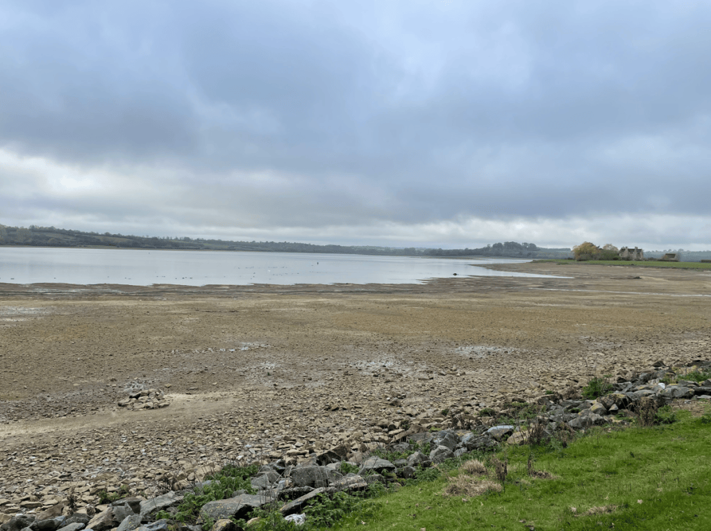
After walking out of the village of Hambleton we soon joined the footpath beside the reservoir and what immediately surprised us all, was just how much the water level had dropped – the record breaking dry summer/autumn has certainly taken its toll. I had been here in late August and the water had not dropped as much as was visible today.
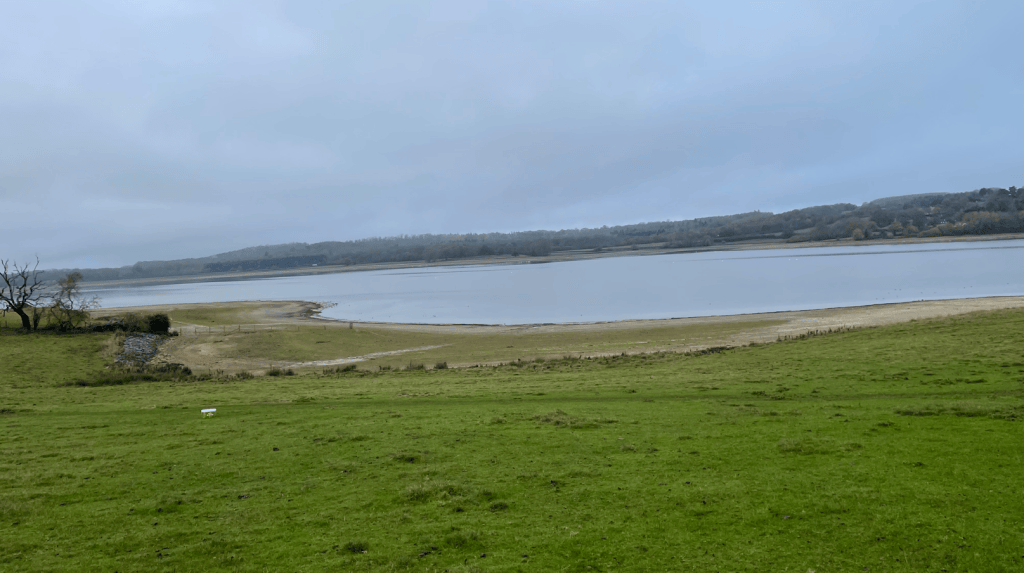
Apparently, the Environment Agency classifies Rutland Water among England’s ‘exceptionally low’ reservoirs. We will need above average rainfall over the winter to replenish it – what’s the probability of that I wonder?
There is a good footpath around the peninsular and we were enjoying the crunch of fallen leaves as we strolled along.
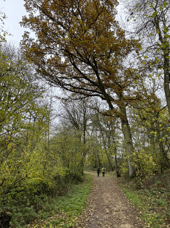
We passed some grazing sheep and had walked quite a way before encountering other people.
When we reached the tip of the peninsular we stopped for a cuppa and Chris walked down to the waters edge in order to give the photo below some perspective.
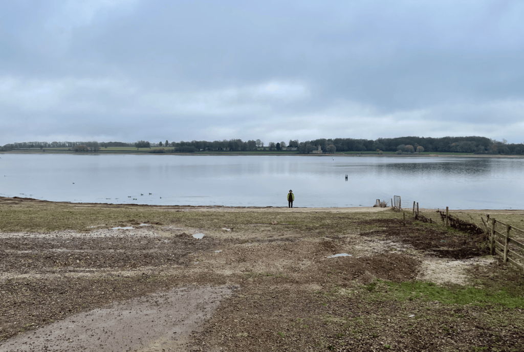
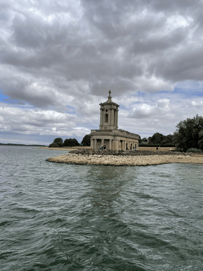
Across the reservoir the former church at Normanton was visible. There was plenty of water here in August when I took the photo below, as you can see.
Continuing onwards our views reminded us of the low water levels – dry land was visible which was once submerged under the water.
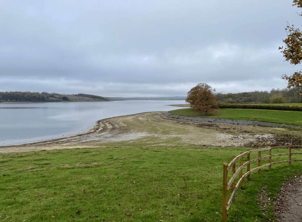
Further around the walk the view looked like the tide had gone out!
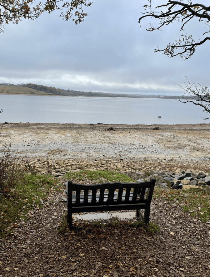
We passed by ‘my favourite bench’ on the peninsular. I recalled a memory of getting up very early one Sunday morning in Summer and driving to Rutland to do this same walk. I sat on this bench enjoying the early morning peace, watching the wildlife, thinking what a wonderful day it was. Funny the things you remember.
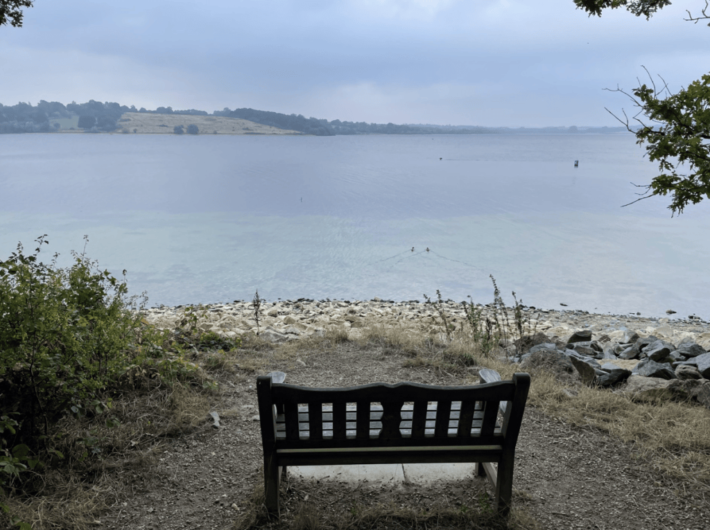
Todays view from the bench was somewhat different.
After a steep climb uphill back into Hambleton we enjoyed looking at the nice houses in the village before reaching our transport home. It had been a lovely walk as usual but eye- opening as well – if we don’t get sufficient rain over the winter/spring our lack of investment in new reservoirs over the past few decades may well come back to bite us.
Happy Walking! 😊🚶


One response to “Hambleton Peninsula Walk: Low Water at Rutland Water”
The lack of water is very noticeable from your photos. No wonder we’re still under hosepipe restrictions in Lincolnshire.
LikeLiked by 1 person