The Cleveland Way: Port Mulgrave to Saltburn.

Hello and welcome back to my blog 😊.

Today was the final section of the coastal part of The Cleveland Way. In a couple of weeks time Angela and I will commence walking the inland section, through the North York Moors National Park, from Helmsley to Saltburn.
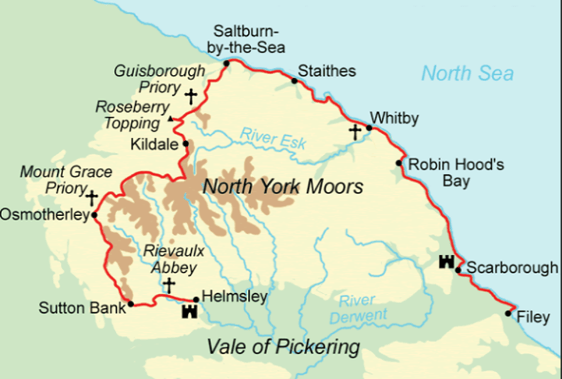
Map of the North York Moors region, highlighting key locations such as Guisborough Priory, Rievaulx Abbey, and several towns including Whitby and Scarborough, alongside major rivers and geographical features.

The weather was sunny but not too hot, which was just perfect. Our coach dropped us off in Hinderwell, so we walked through the village to Port Mulgrave to pick up the Cleveland Way.

We were passing St Hilda’s Church so we visited the site of the Holy Well. St Hilda was an Abbess of Whitby Abbey and whilst passing through the village she was asked to pray for water – there was a drought on. Her prayers were answered and a spring appeared. The water was said to have healing properties and became a place of pilgrimage.
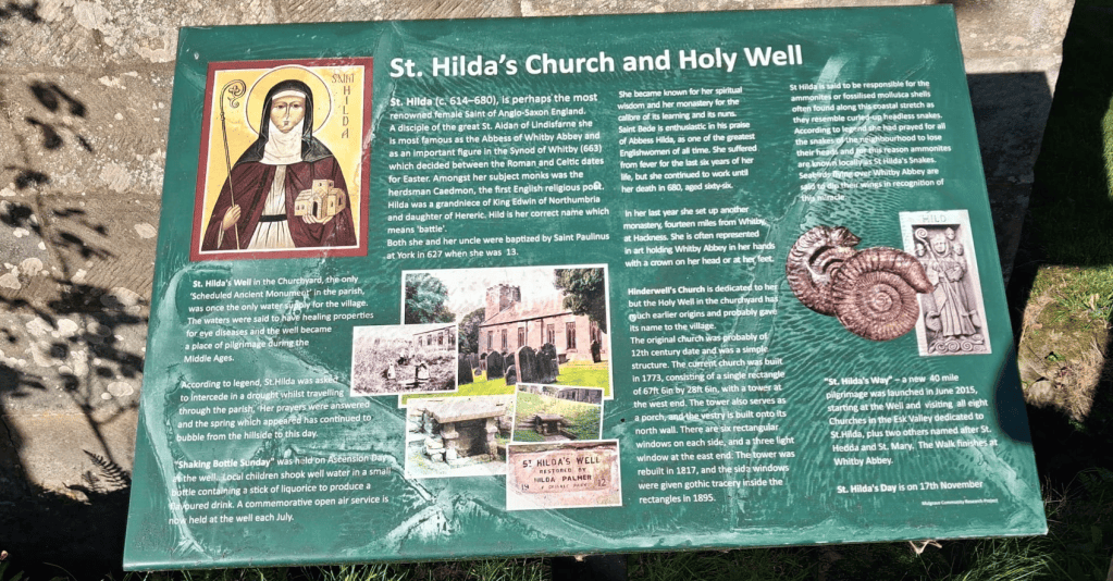
Information board about St. Hilda's Church and Holy Well, detailing historical significance, legends, and events associated with Saint Hilda.
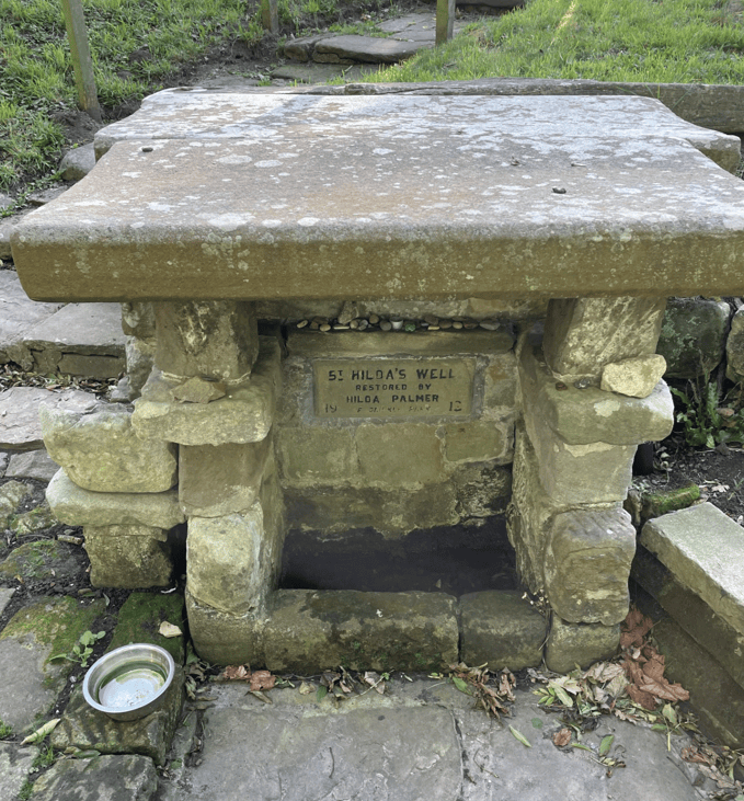
A stone structure known as Hilda's Well, featuring a flat roof supported by stone pillars. A plaque with restoration details is visible on the front, along with a metal bowl and surrounding greenery.
St Hilda Well

After a short walk through Port Mulgrave we were soon on the cliff tops enjoying the views.
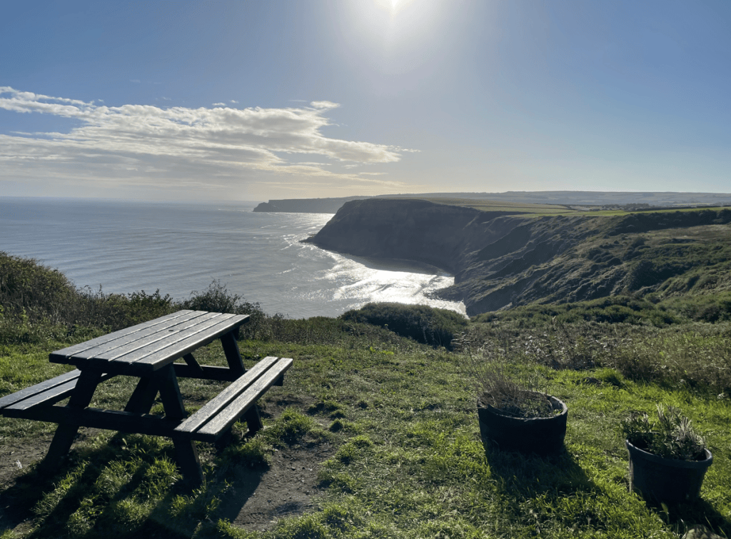
A picnic table overlooking a rugged coastal cliff and the ocean, with sun shining brightly in the sky.
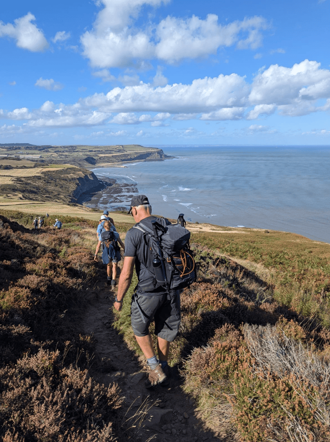
A group of hikers walking along a coastal path with cliffs and the sea in the background, under a blue sky with clouds.
On the way from Port Mulgrave to Staithes

Our first port of call was the picturesque village of Staithes.
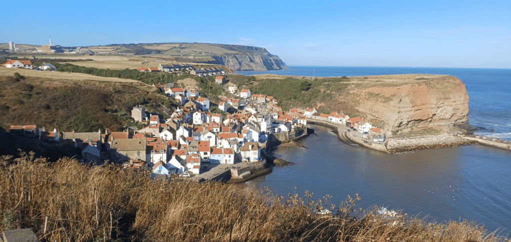
A panoramic view of a coastal village with white and colourful houses nestled at the base of a cliff, overlooking a calm sea with a small harbour.
Our first view of Staithes

The very young Captain Cook spent time here working in a shop before deciding that the sea was calling him at which point he travelled to Whitby to become an apprentice.
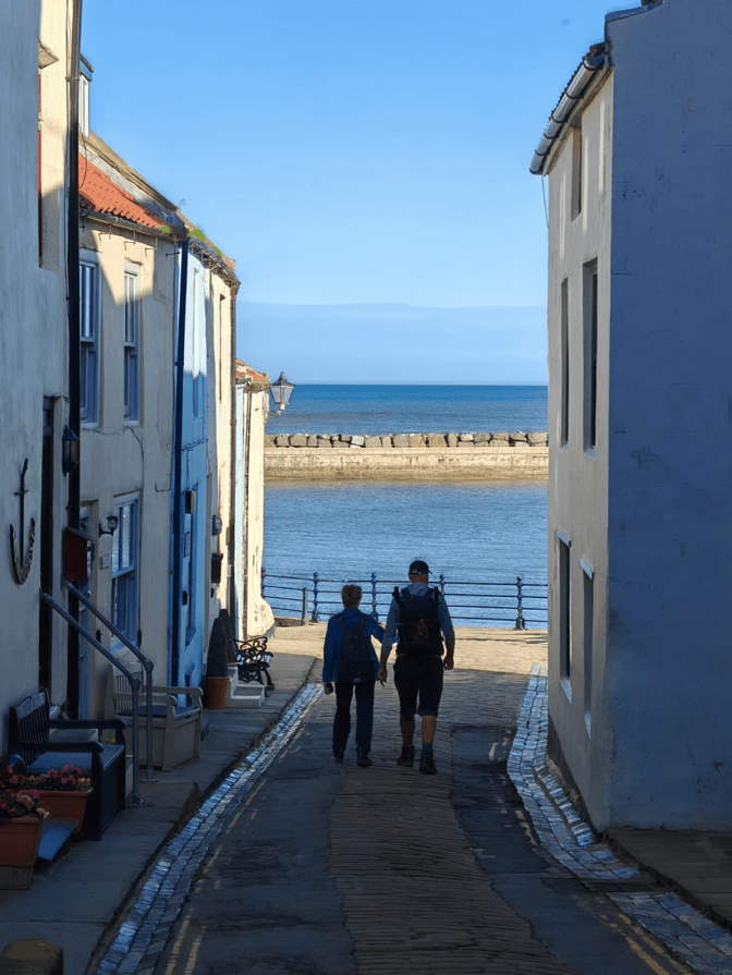
A couple holding hands walking down a narrow street between white and blue buildings, with a view of the sea in the background.
Arriving into Staithes

It would have been nice to spend more time here but we were at the start of the day and had many more miles to cover. We would be climbing to the top of Boulby Cliff -the highest point on England’s east coast.
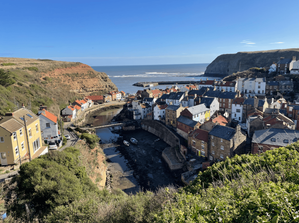
A scenic view of a coastal village with colourful houses lining the waterfront, surrounded by hills and cliffs under a clear blue sky.
View leaving Staithes

We passed the Boulby Potash mine which still produces potash and rock salt in large quantities. The mine reaches a depth of 4,500 ft and the tunnels extend miles out beneath the North Sea. Interestingly, because the mine is so deep, it allows scientists to conduct experiments free from natural background radiation.
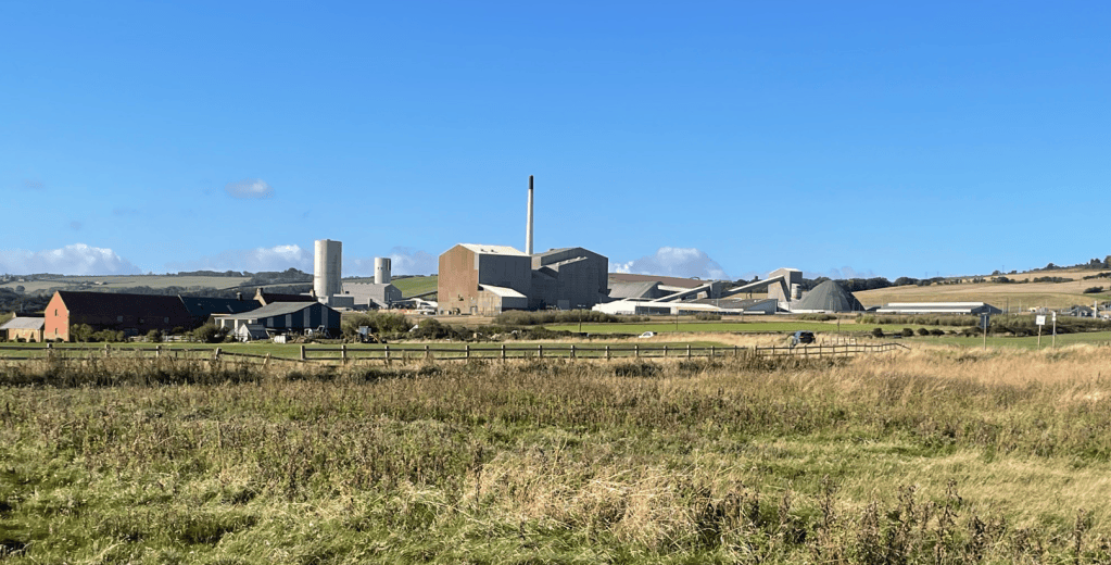
View of an industrial complex with various buildings and silos set against a blue sky, surrounded by fields and a few farmhouses.
Potash mine

Opposite the mine there was a bench with an information board and a sculpture of a miner – it looked good.
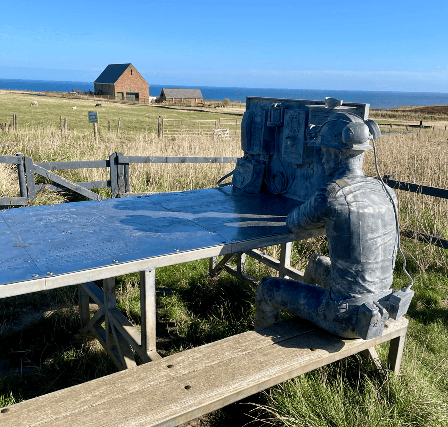
A weathered statue of a miner seated at a metal table, equipped with old-fashioned communication devices, set against a backdrop of green fields and a distant barn under a clear blue sky.

After a bit of huffing and puffing we were on the tallest cliffs and heading for Skinningrove.
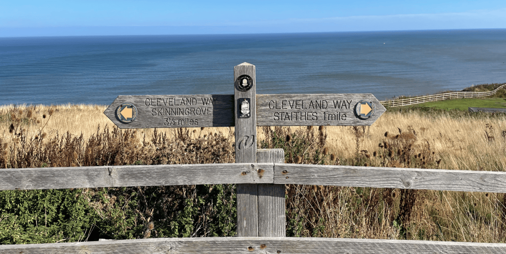
A wooden signpost displaying directions to Cleveland Way Skelton Green (3.5 miles) and Cleveland Way Staithes (1 mile), with a scenic view of the sea and grassland in the background.

The views were super – I think we were so fortunate with the weather.
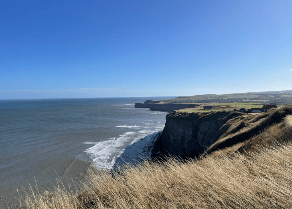
A scenic view of a rugged coastline with steep cliffs overlooking the ocean, under a clear blue sky. Gentle waves are lapping at the shore, while grassy vegetation adorns the cliff top.

We passed an abandoned Alum works which was half way down the cliff.
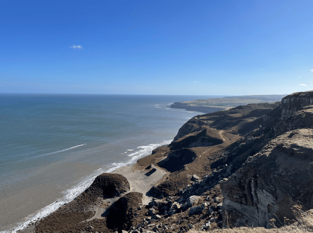
A scenic coastal view from a high cliff, featuring the ocean meeting the sandy shore under a clear blue sky.
Abandoned Alum works

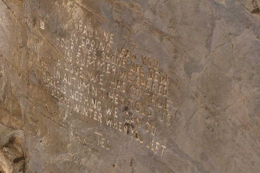
We saw a poignant poem that a man had carved into a rock on the cliff following the loss of his wife. It must have been quite perilous to have done that given the height and small working ledge.
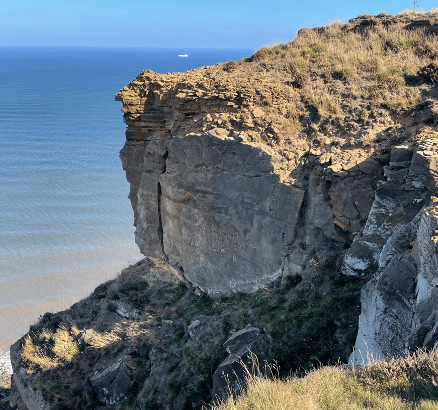
A rocky cliff overlooking a calm sea with a distant ship on the horizon under a clear blue sky.
Where the poem was carved
Engraved poem on a rocky surface, featuring the name 'Pauline' and personal reflections on seasons and relationships.

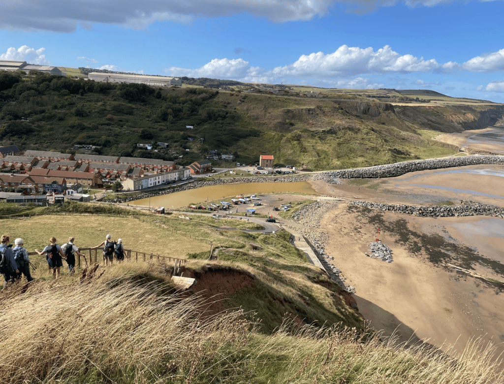
We continued onwards towards the village of Skinningrove – an old ironstone mining village.
A scenic coastal view showing a village with houses, a river estuary, and a sandy beach. People are walking down a slope amidst tall grass, with cliffs and a clear blue sky in the background.
Dropping down into Skinningrove
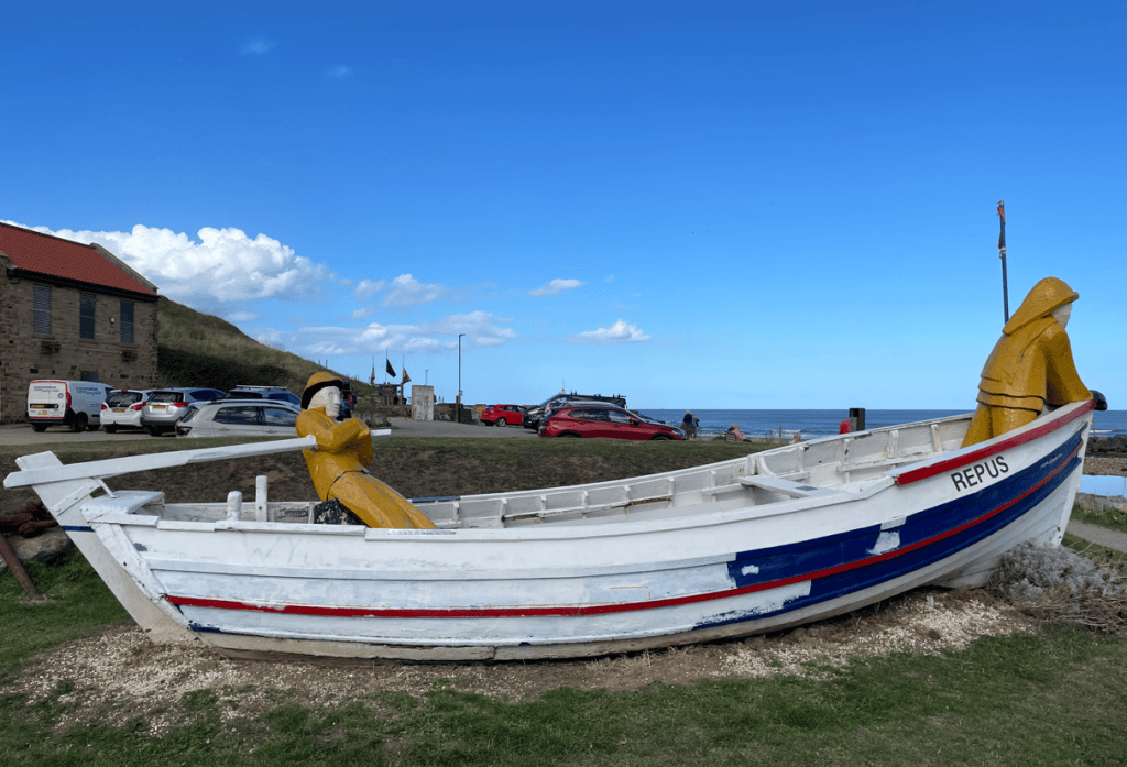
A decorative fishing boat named 'REPUS' with two colourful wooden sculptures of fishermen in bright yellow and traditional attire, situated on grassy land by the coast.

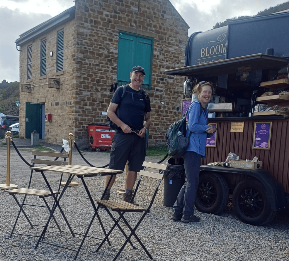
Here we took a break and enjoyed a coffee.
Two hikers standing at a coffee cart named 'Bloom', smiling and enjoying their visit. A stone building is in the background, along with outdoor seating.

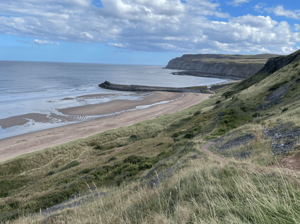
Refreshed after a caffeine hit we left the village along the beach, sand dunes and finally up steps.
A scenic view of a sandy beach bordered by cliffs and a calm sea, with a rocky jetty extending into the water under a partly cloudy sky.
Looking back towards Skinningrove

We were now headed towards Saltburn. A sculpture called Charm Bracelet lies on the cliff tops. The wheel is a nod to the ironstone mining while the charms reflect items of significance to the area.
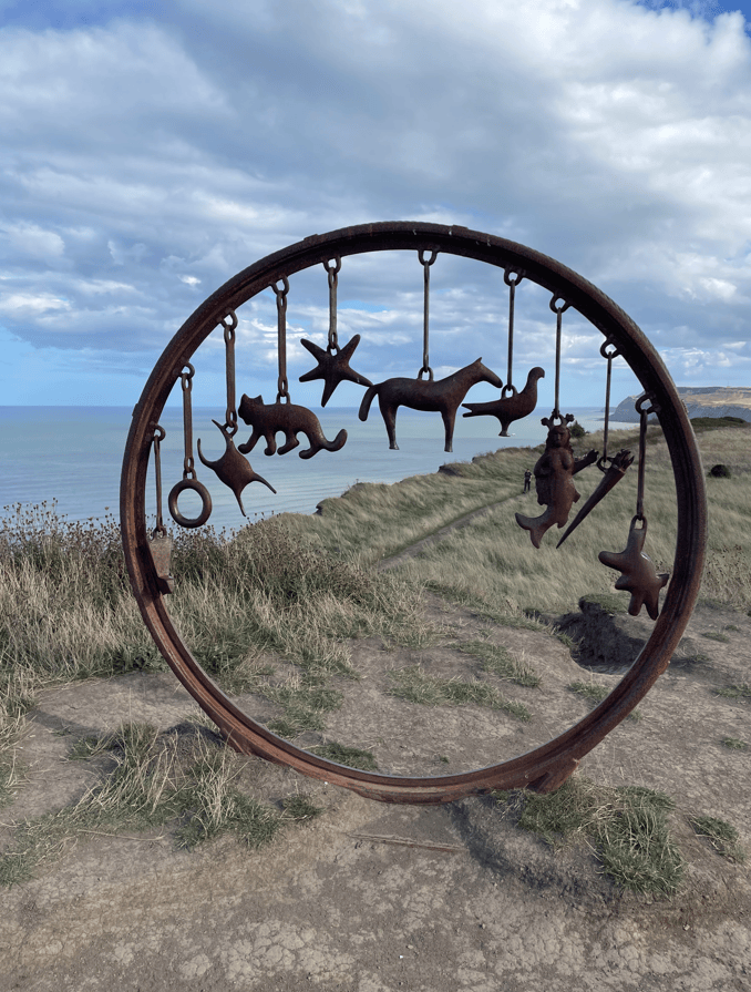
A circular metal sculpture featuring various animal and character shapes hanging from it, set against a backdrop of cliffs and the sea under a cloudy sky.
The Charm Bracelet

Arriving into Saltburn we had finished our walk, however we took a walk along the pier.
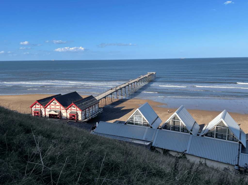
A scenic view of a beach with a wooden pier extending into the sea, alongside traditional beach huts with red accents and modern glass-roofed buildings.
Saltburn Pier

From the pier we could see surfers enjoying the waves.
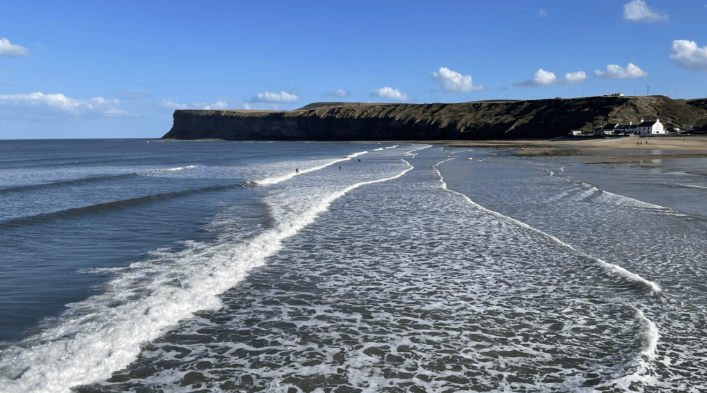
A serene beach scene featuring gentle waves lapping at the shore, framed by a cliffside and a clear blue sky with scattered clouds.
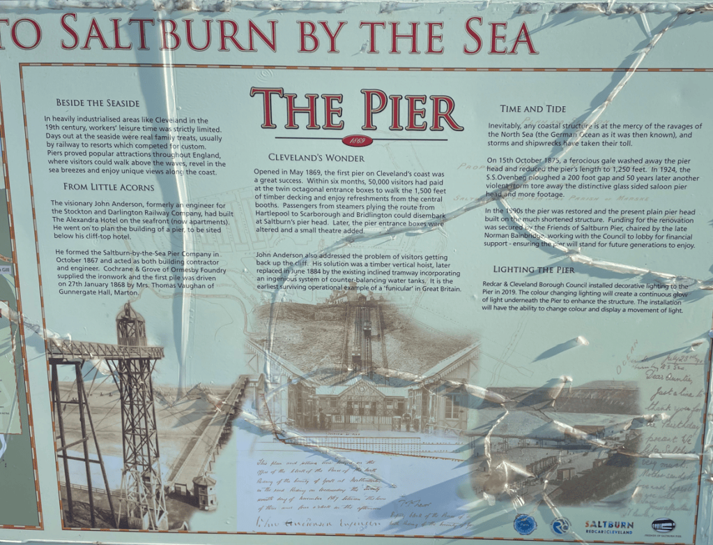
Information plaque about Saltburn Pier, detailing its history, construction, and renovations, featuring text and images related to the pier's significance and features.

After the pier we walked up the steps to the town, viewed the old railway station and shops then spotted an autumnal themed knitted topping on a post box.
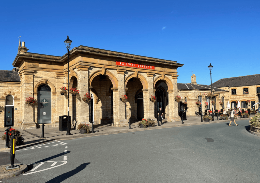

View of a historic railway station building with arched entrances and flower baskets, set against a clear blue sky. People walking and parked bicycles in the foreground.
A collection of knitted animals, including a wolf, fox, rabbit, and squirrel, displayed on a green knitted surface atop a red postbox. The scene features autumn leaves, acorns, and pumpkins, creating a whimsical outdoor decoration.

Saltburn has a water powered funicular railway to ascent/descent from the town to the beach so we took the ride down.
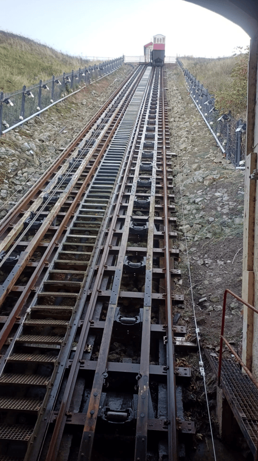
View of a steep hillside railway track leading upwards with a cabin at the top.

And sadly, that was the end of this particular walking journey. We had enjoyed lovely walking along this beautiful coastline and were blessed with super weather. It is a nice memory to lock away.
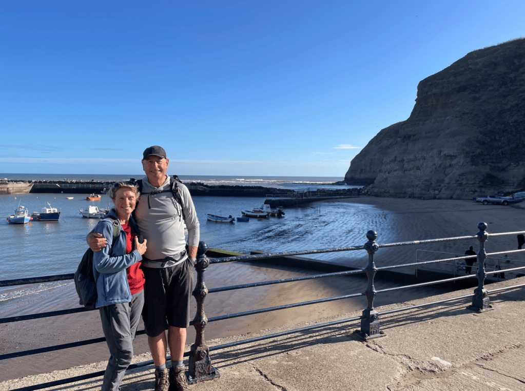
A man and woman smiling together near a beach, with boats in the water and a rocky cliff in the background under a clear blue sky.

Happy Walking! 😊🚶


Leave a comment