Hello and welcome back to my blog 😊.
Today, Angela and I walked another section of The Cleveland Way beginning in Osmotherley and finishing at Clay Bank – 11.8 miles and 2,900 ft of ascent. The walk would take us across the Cleveland Hills and give us stunning views.
The rain/mist from yesterday had cleared and we were hopeful for a dry day.
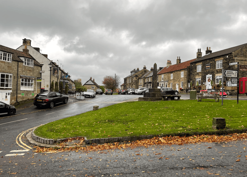
Having dropped my car off at the finish point Angela drove us to Osmotherley. Immediately we headed up through the village and soon we were passing the masts of a television booster station.
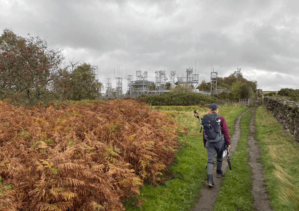
In the distance we got our first view of the pyramid shaped Roseberry Topping (The Yorkshire Matterhorn) which we would be walking on another day. The Cleveland Way path and the Coast to Coast path merged further on.
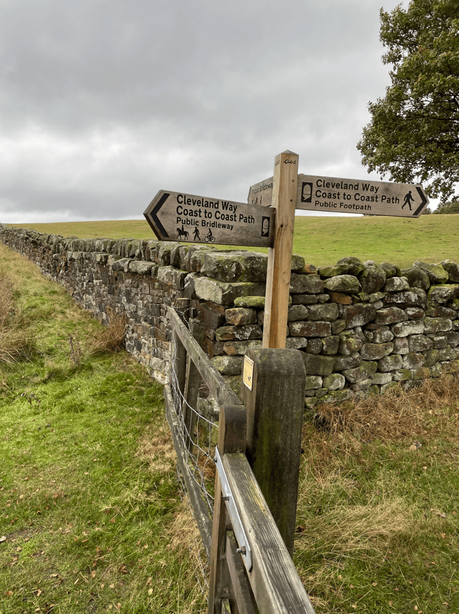
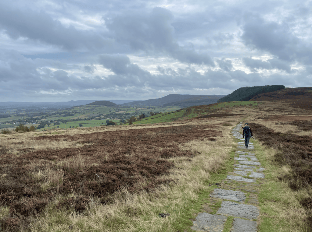
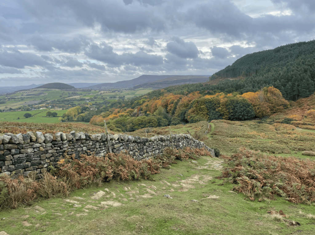
Soon we were walking across Scarth Moor enjoying the views.
Dropping down from the Moor we walked through forest and were also now following the Lyke Wake Walk, which is a 40 mile crossing of the North York Moors from west to east.
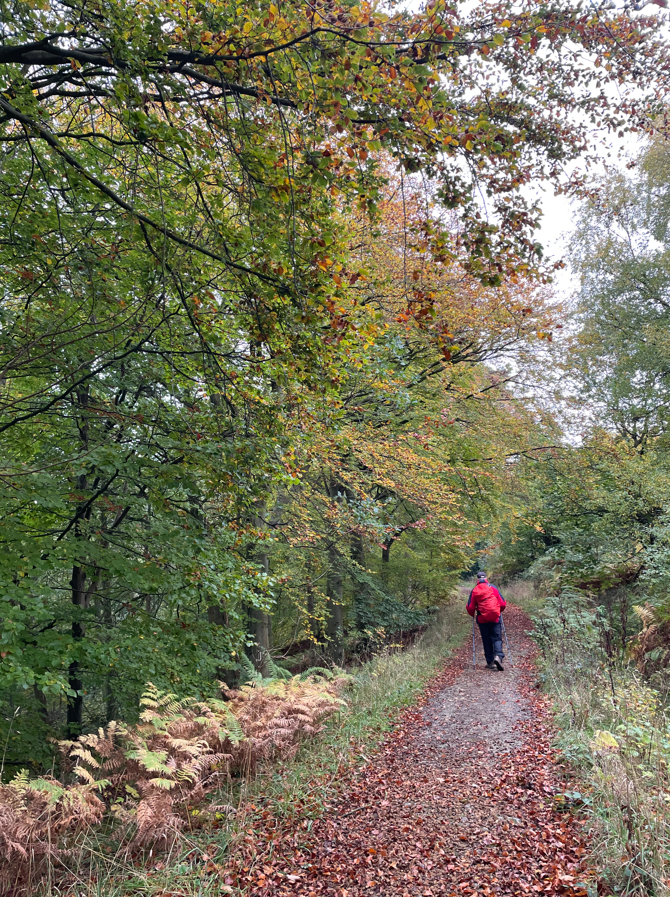
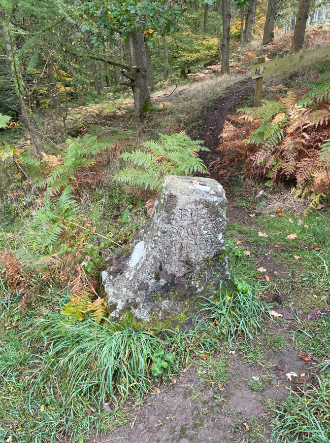
In the forest we passed a low carved stone commemorating Bill Cowley who founded the Lyke Wake Walk in 1955.
It was strange for us walking through here because we were renting a cottage in the vicinity. We crossed Scugdale Beck and walked up the lane to Huthwaite Green where we headed steeply uphill. Tree logging was in progress.
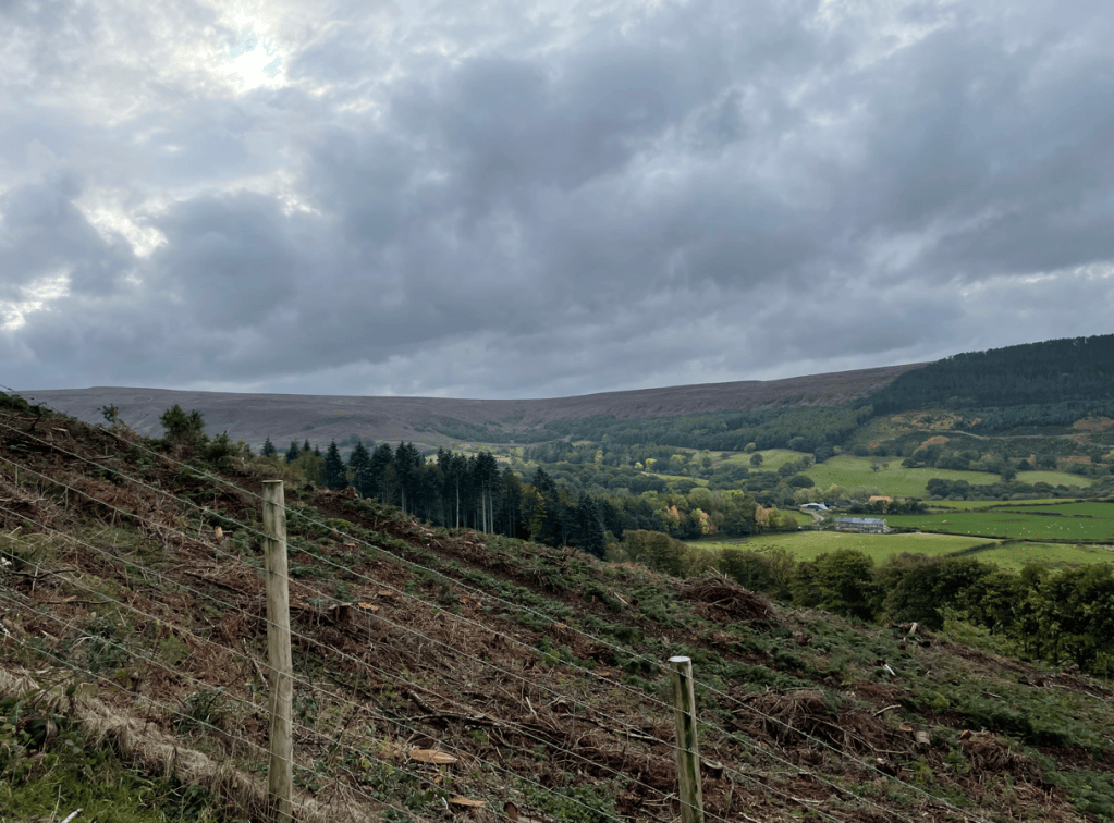
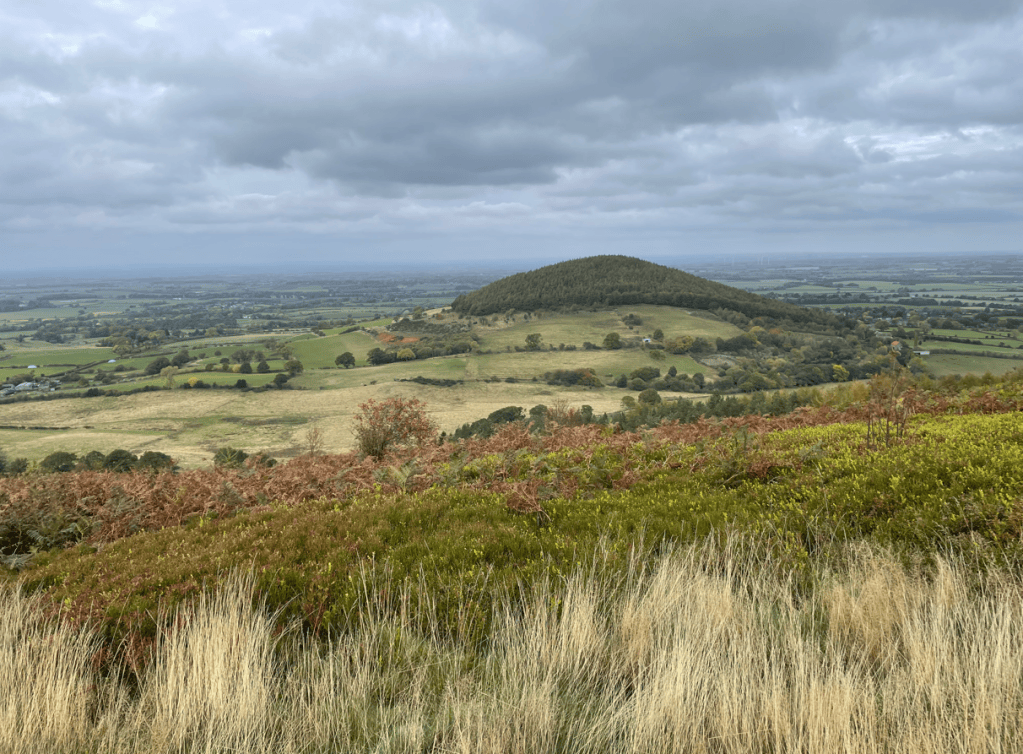
We emerged on to Round Hill and, as we continued, we passed the prominent tree covered Whorl Hill.
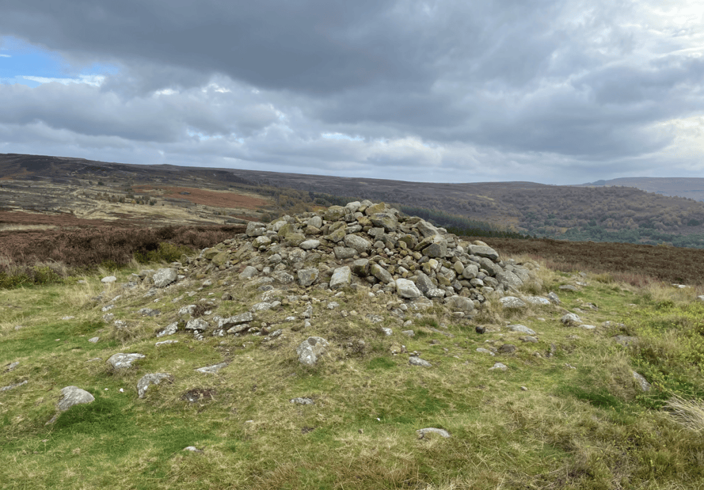
A little further on we passed a Bronze Age burial mound dating from around 2000 BC – there is a sign to the side asking people not to add stones to it thinking it is a cairn.
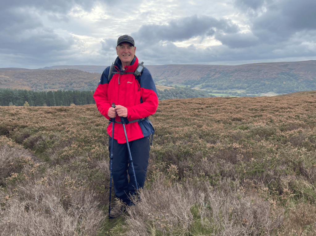
I was loving the walk at this stage.
The path along the top is lined with large stone slabs which helps with erosion and makes walking easy.
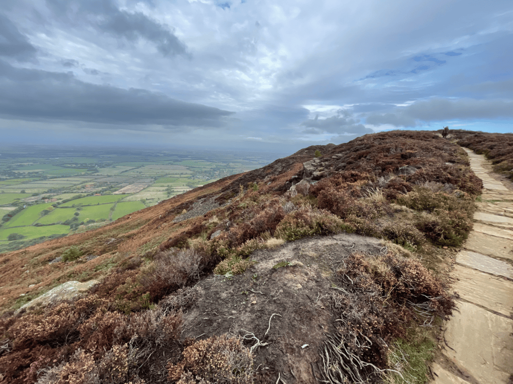
We were continuing to soak up the views.
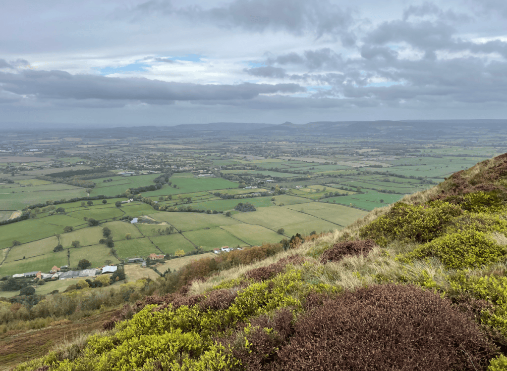
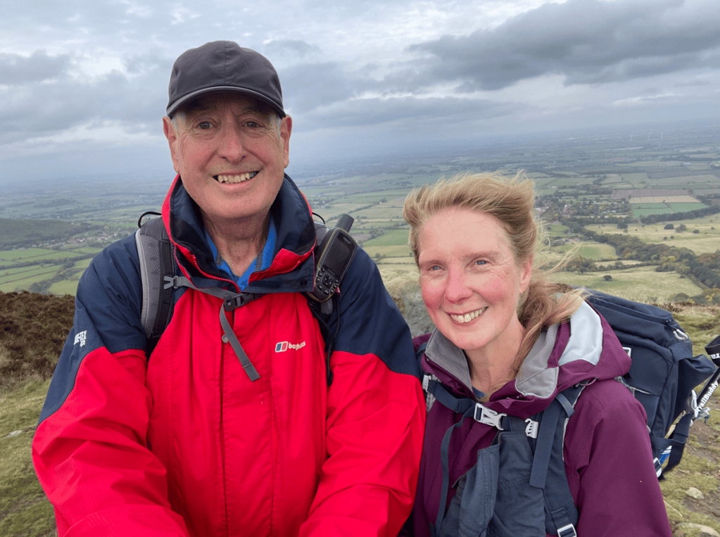
Descending into Lordstones I was beginning to dislike the small rocks used to protect the path on ascents and descents- they are quite arkward to walk on. Arriving into Lordstones there is a cafe/restaurant and we decided to have a stop here. However, after donning plastic boot covers provided by the cafe, and taking a table, we gave up waiting for service after 10 minutes and departed – we still had some miles to cover and could not afford to waste time. I had been anticipating a caffeine hit and so felt disappointed as we headed steeply up another hill. Reaching the summit, we took the obligatory photo by the trig point in the cold biting wind!
Descending, we met some people who were dressed like they were on a pheasant shoot, and sure enough, they were the beaters. Shortly, we heard the rifles firing. Ascending another steep hill we were headed towards the Wainstones – used by local climbers.
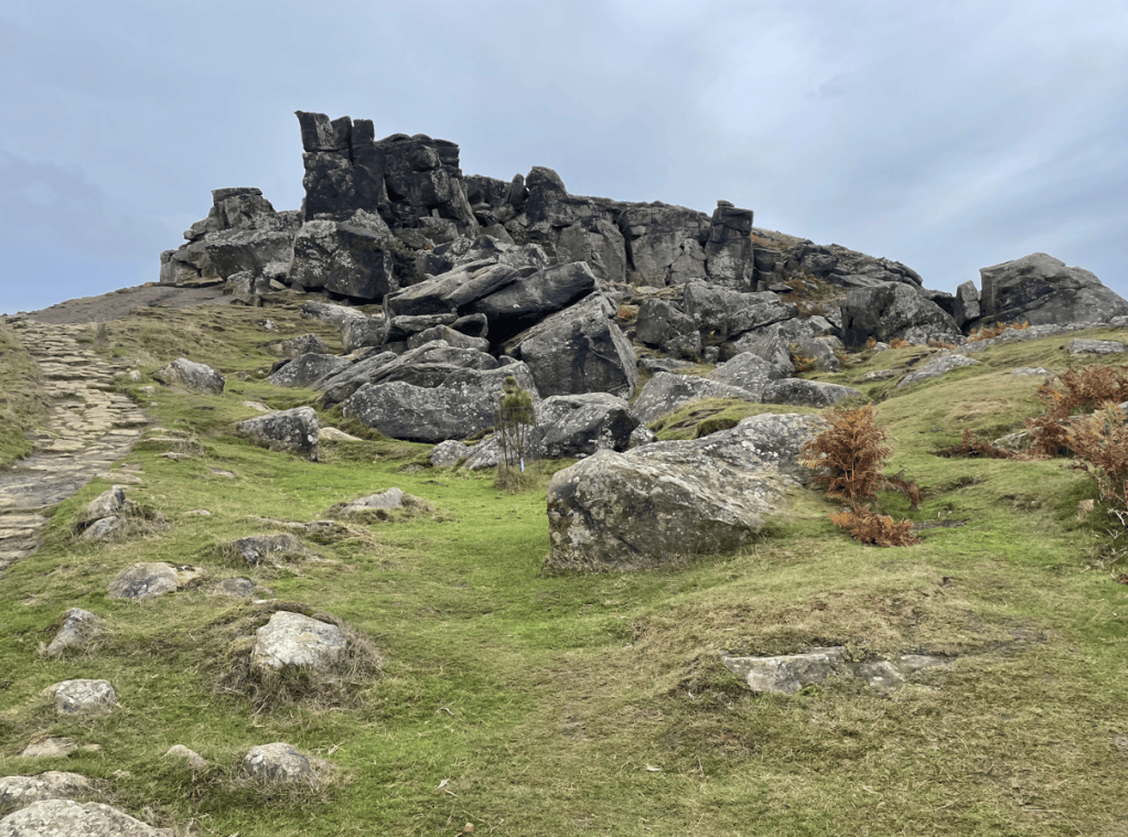
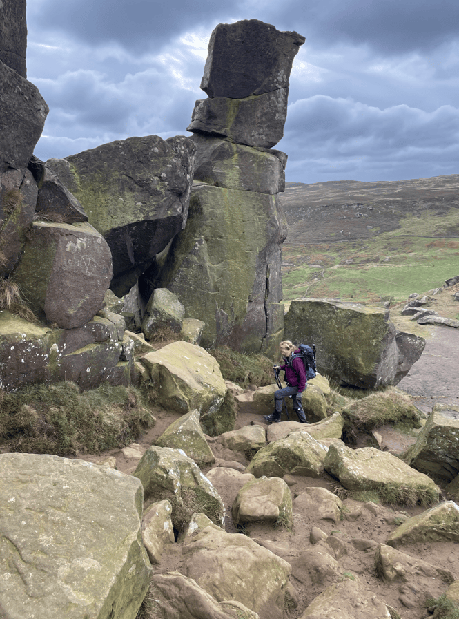
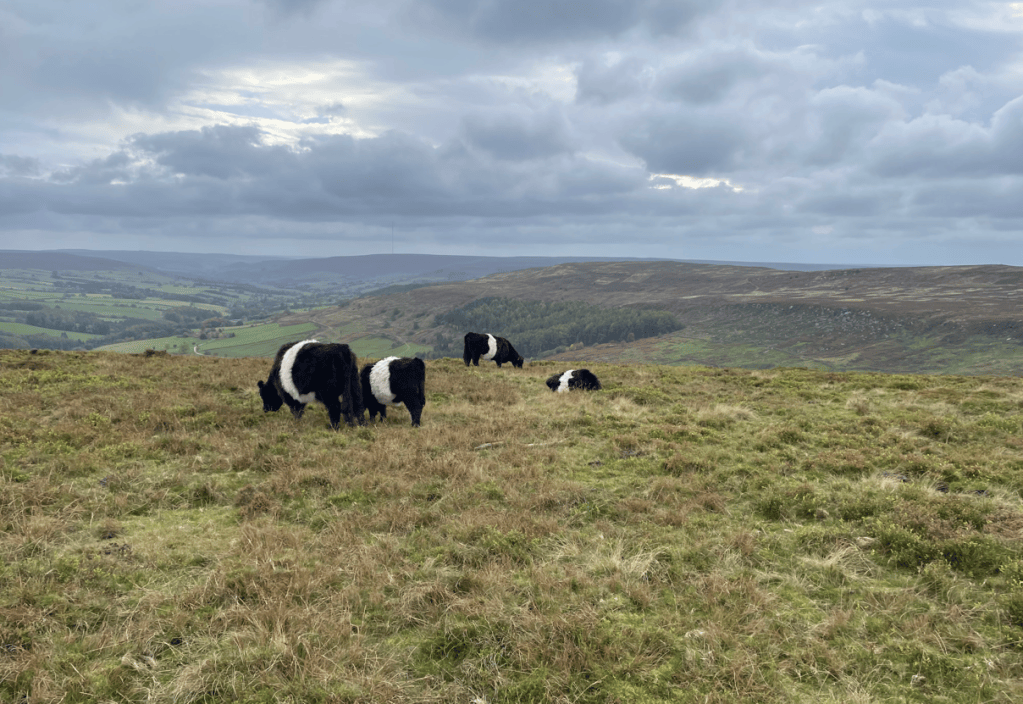
After some simple scrambling we were through the Wainstones and on White Hill. Angela liked the cute Belted Galloway cattle that were grazing here. Black with a broad white band around their middle they are also known as ‘liquorice allsort’ cattle. They are hardy cattle and ideal for grazing these high, exposed hills.
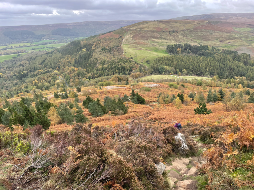
Finally, we had another long, very steep descent down to Clay Bank to pick up my car. We were both very tired at this stage, it had been a hard walk! We saw the beginning of the next leg which would take us to the highest point, Round Hill on Urra Moor, within the North York Moors Park. The plus side is that once we are up it is a gentle coast down to Kildale- the destination of our next leg.
Today’s section of the inland Cleveland Way has been my favourite – the views are amazing. Tomorrow we will take a rest day and chill.
Happy Walking! 😊🚶

