Hello and welcome back to my blog 😊.
Today, Angela and I enjoyed another leg on the inland section of the Cleveland Way, walking 10-miles from Clay Bank to Kildale. You may recall that after the last section we were very tired. So, we took a rest day and I gave my knees a rest!
Today was mainly a blue sky day, but the downside was it was a tad cold in the wind, particularly at height.
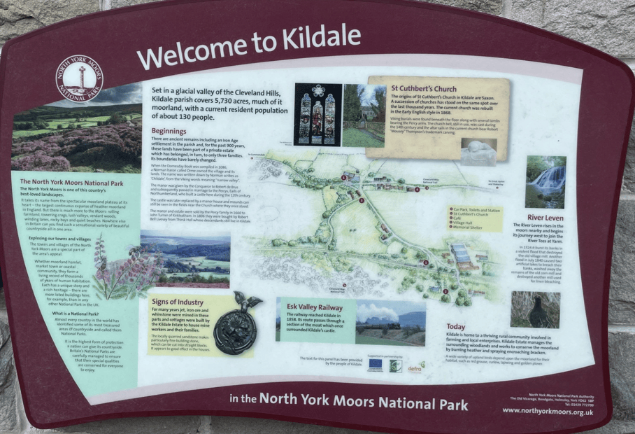
I parked my car at Kildale railway station and then Angela drove us to Clay Bank to resume where we finished a couple of days ago. There was a good information board at the small railway station (which lies on the popular Esk Valley Railway Line) plus free toilets!
After parking the car it was an ascent up to Urra Moor and the high point of Round Hill.
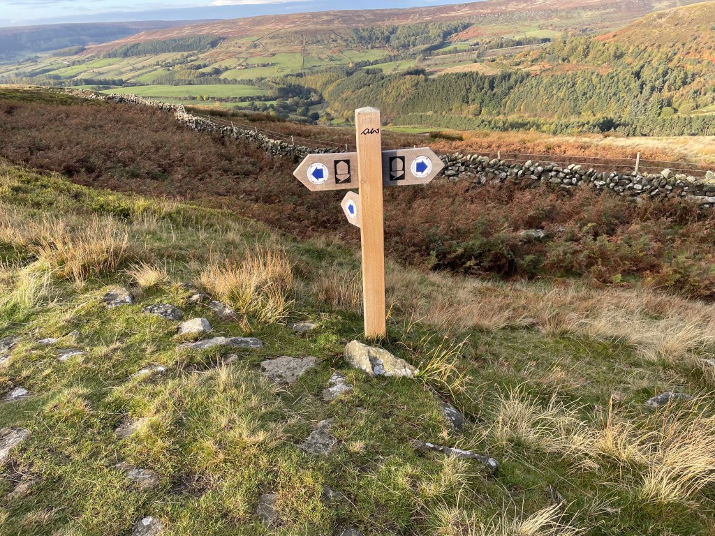
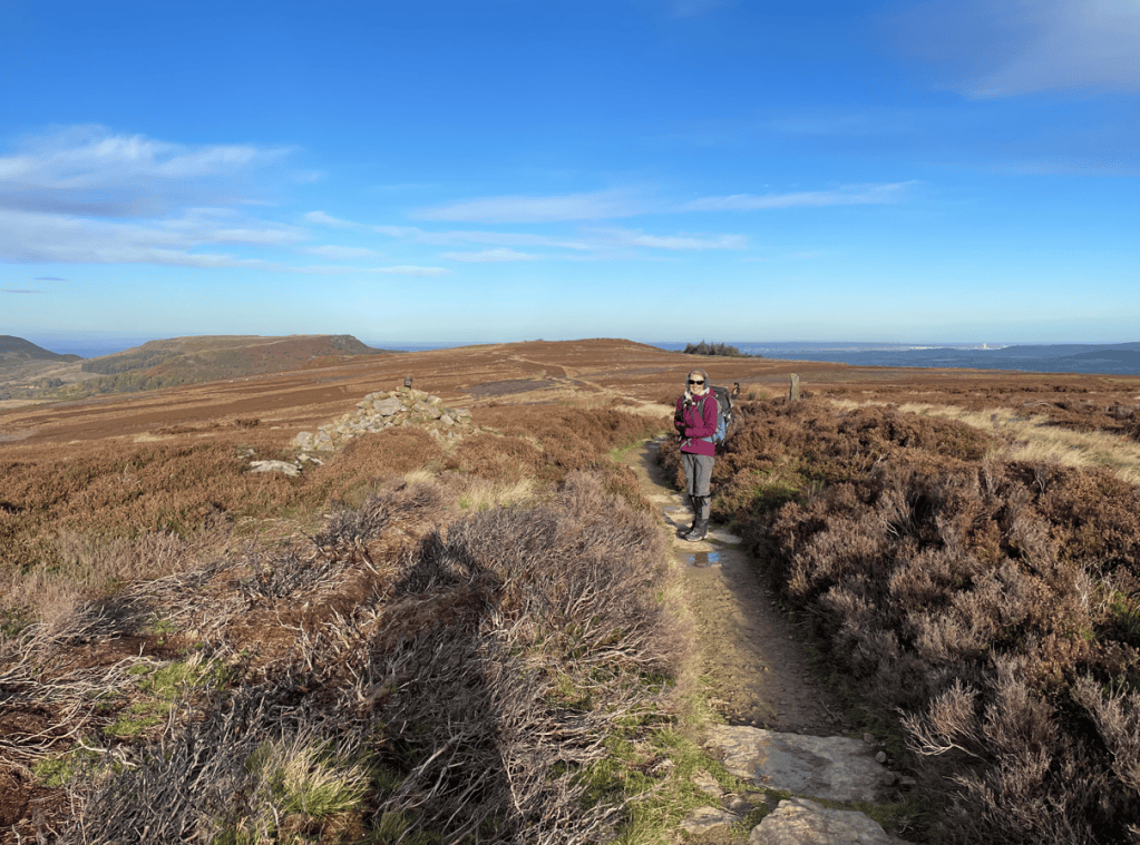
Looking back we could see the Cleveland Hills that we had traversed on the last leg.
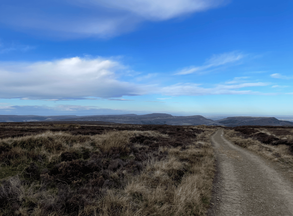
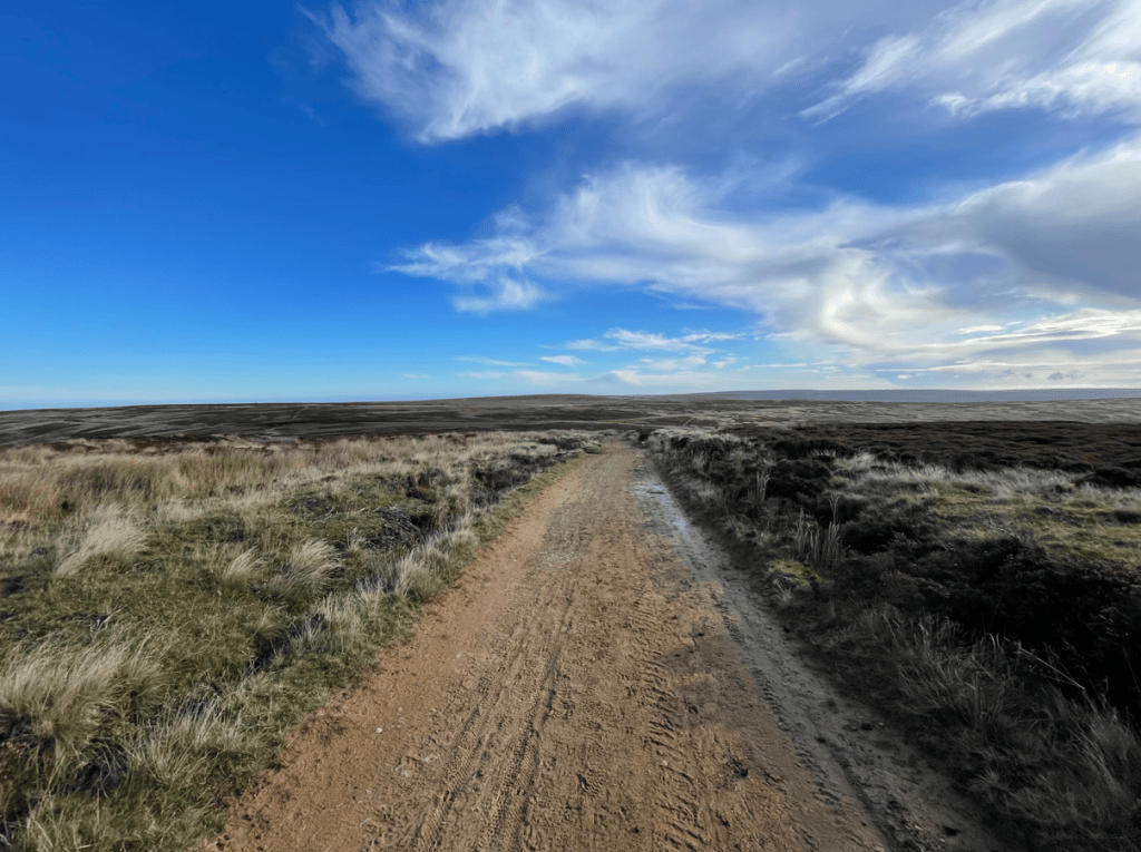
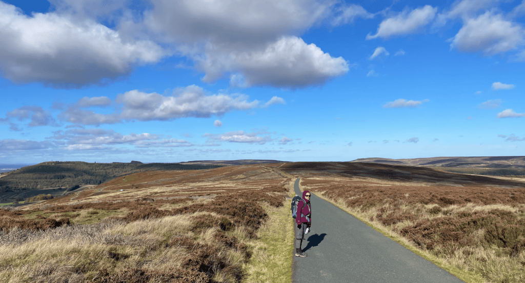
Along the moor the track was sandy and the views extensive- we occasionally frightened the poor Grouse that were hiding in the heather.
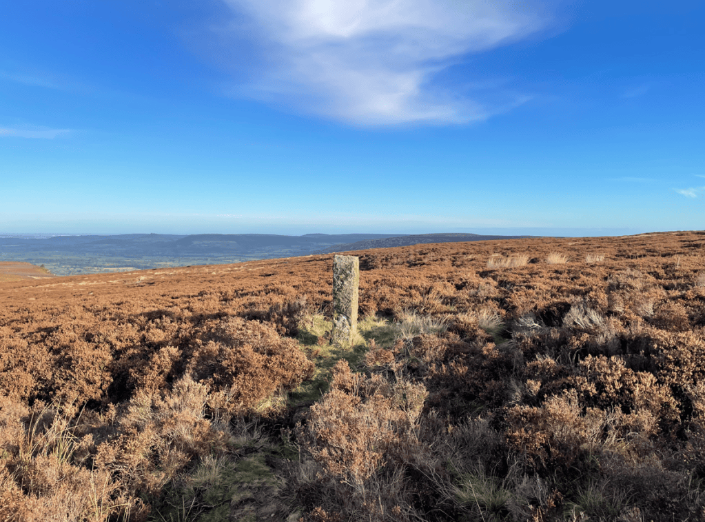
Along the Moor there were numerous prominent boundary stones.
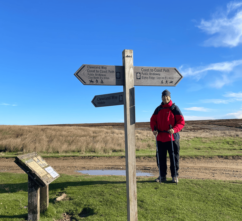
Soon we arrived at Bloworth Crossing where the Coast to Coast Path departs from the Cleveland Way and heads to its finishing point at Robin Hood Bay.
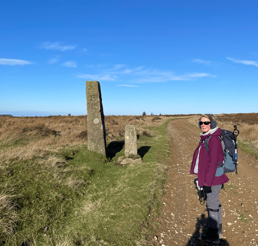
Continuing along, enjoying the views, we passed another couple of standing stones
Middlesborough could be seen in the distance as well as Roseberry Topping and Captain Cooks Monument – we would visit these on the final leg. We also caught a glimpse of the North Sea.
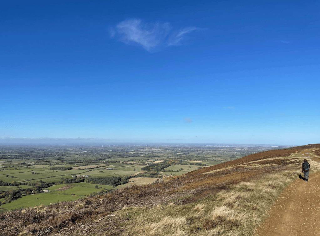
The track turned into a tarmac road which would lead us back downhill into Kildale.
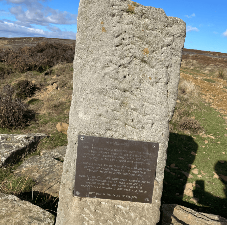
Along the road we saw a memorial plaque to a RAF crew who had crashed nearby in 1941 – they survived the crash but sadly died of exposure on the moor because it took 2 days to discover the plane.
We had an easy road walk into Kildale and the end of todays leg. The weather forecast for tomorrow is grim and because it’s a 15-mile walk to the finish at Saltburn we have decided to complete the walk next spring. We want to enjoy the walk and its sights – 15-miles in heavy rain is not why we walk, it would be a slog. So, for now we will leave the scenic North York Moors and look forward to returning next spring.
Happy Walking! 😊🚶


One response to “The Cleveland Way: Clay Bank to Kildale.”
It was a super walking day. All the walking days have been good but I class this as the best 😃
LikeLiked by 1 person