Hello and welcome back to my blog 😊.
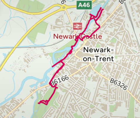
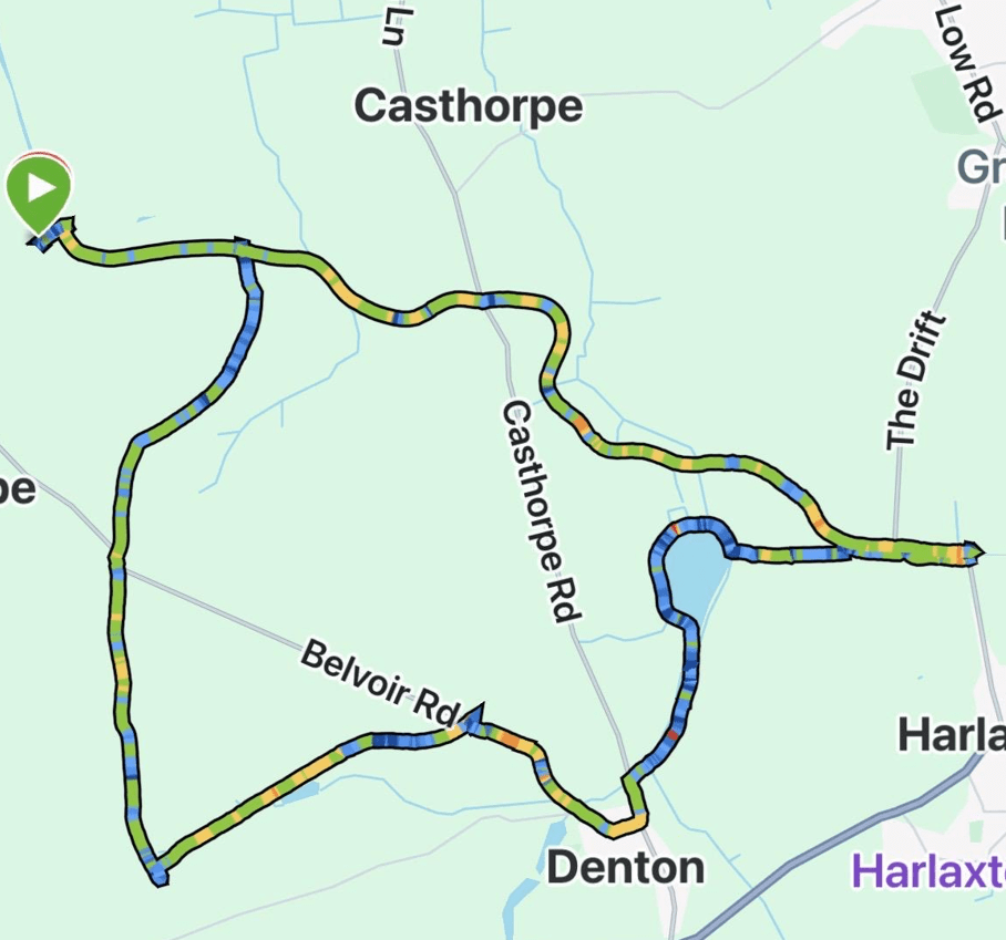
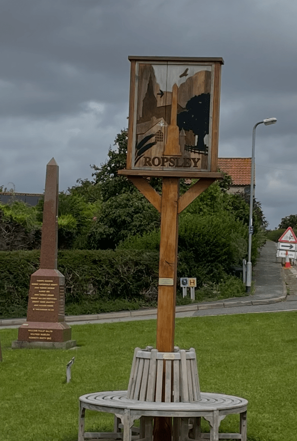
Today, Chris and I met up in the Lincolnshire village of Rospley and enjoyed a 7.5-mile circular walk, across open countryside and through woods, passing through Scotland ( a remote hamlet) and the small village of Humby. It would turn out to be lovely little walk.
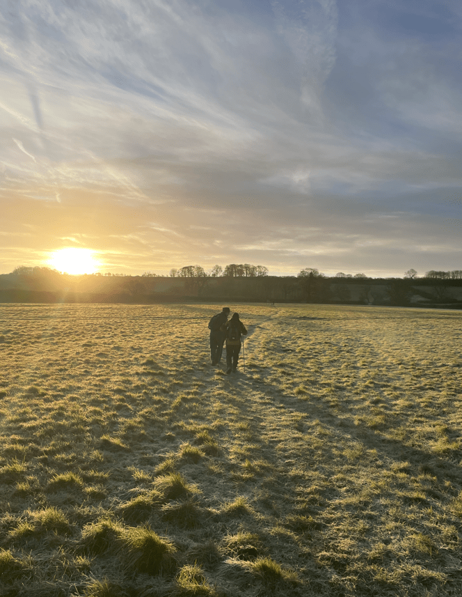
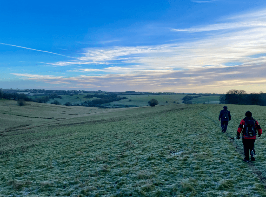
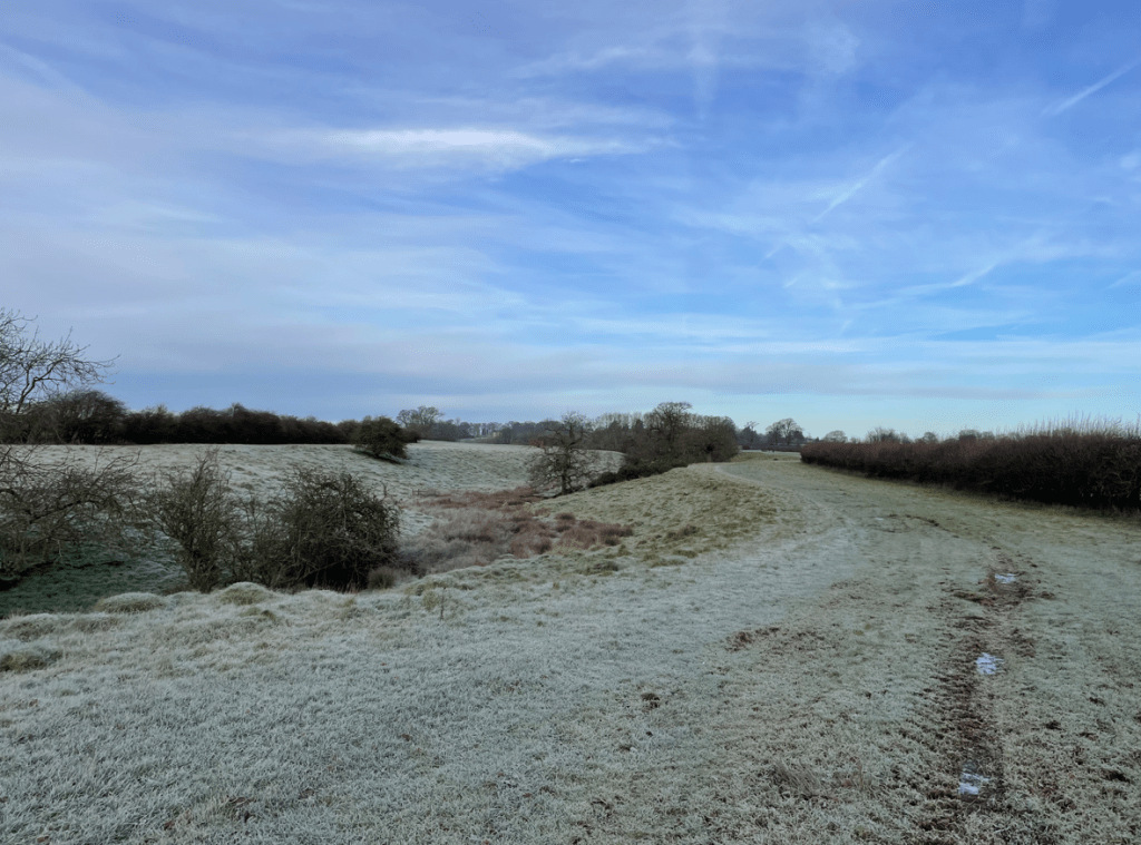
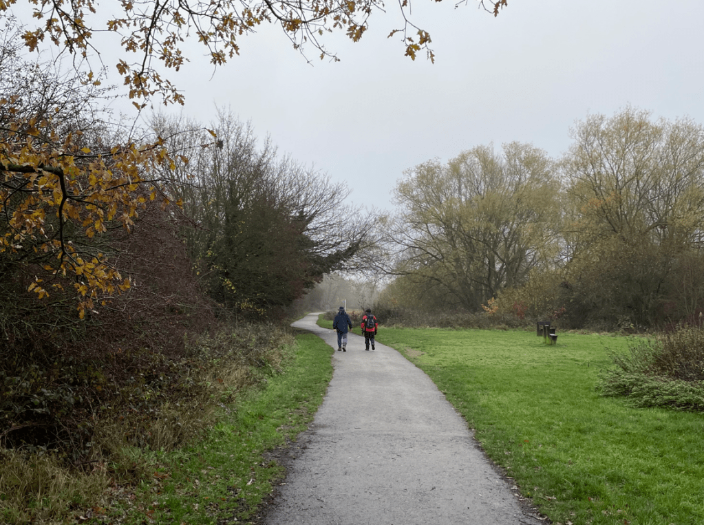
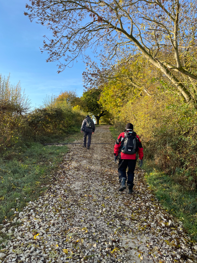
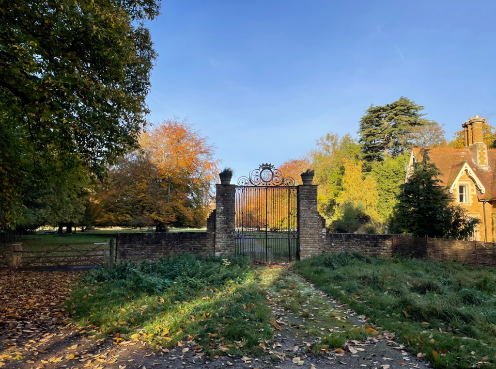
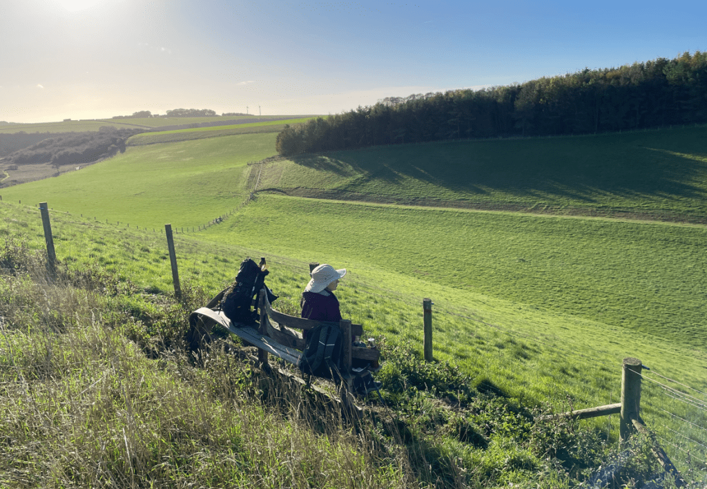
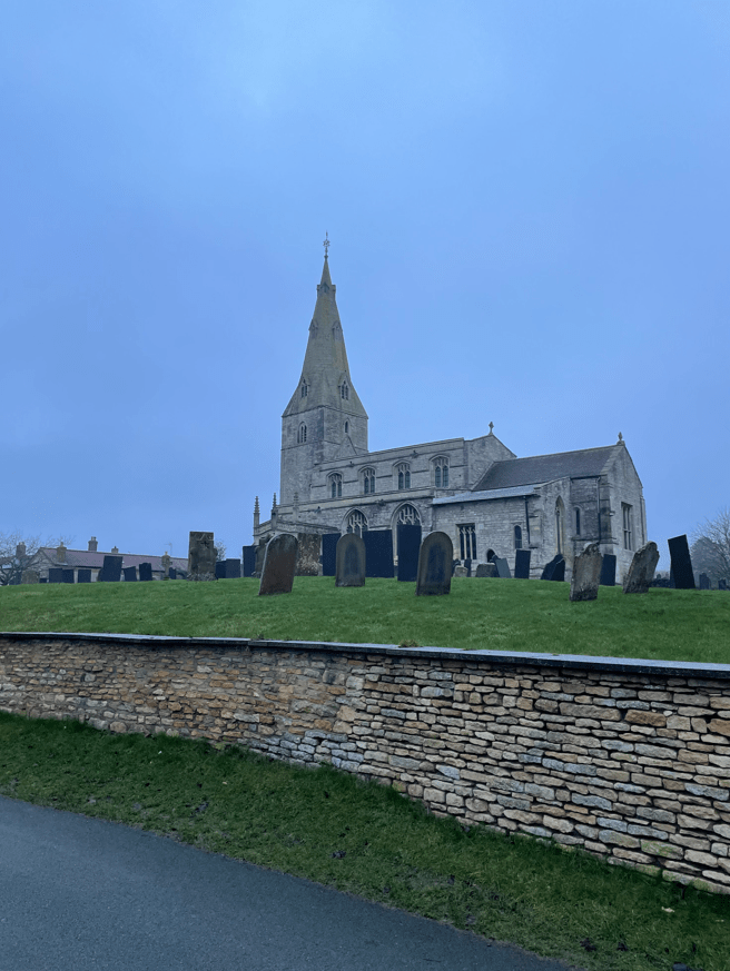
I strolled down the hill in Rospley to find Chris at his car strapping on walking gaiters – a wise decision, as we would soon find out. It was a grey start, and we were hoping to avoid any rain, as we walked past St Peters church.
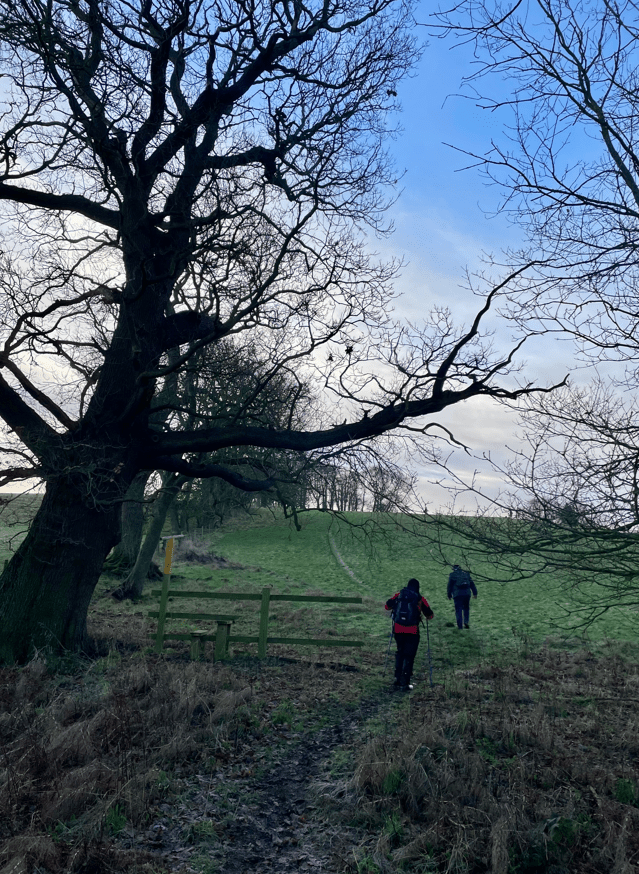
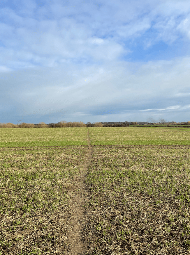
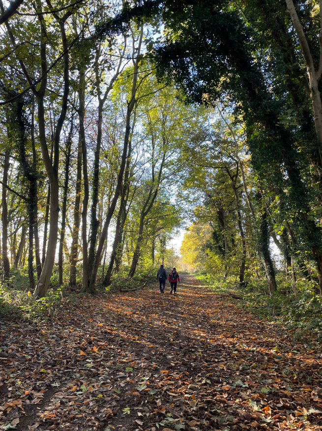
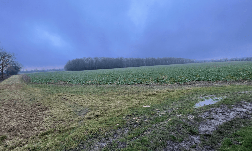
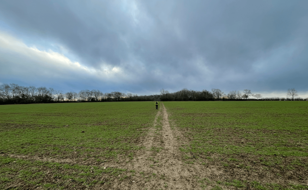
Leaving the village we followed a path through a field then into a golf course. Crossing over the course there were no golfers out today and we were soon through the course and into arable fields.
We came across a sign for the Danelaw Way – a walk I was not previously aware of. Some investigating revealed that it is a 60-mile walking route from Lincoln to Stamford- interesting!
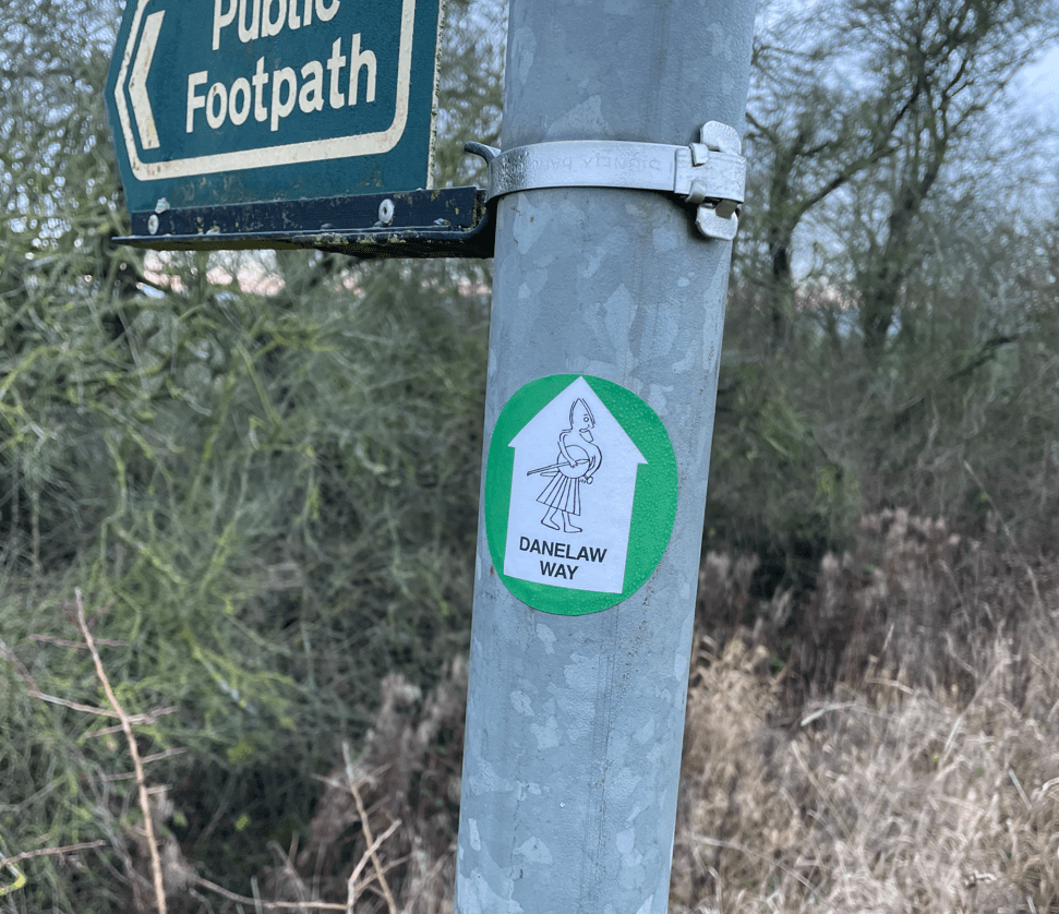
https://www.lincolnshireramblers.org.uk/walk-books-leaflets/287-danelaw-way.html
In the woods there were some tree felling operations underway but they did not affect us as we walked on past.
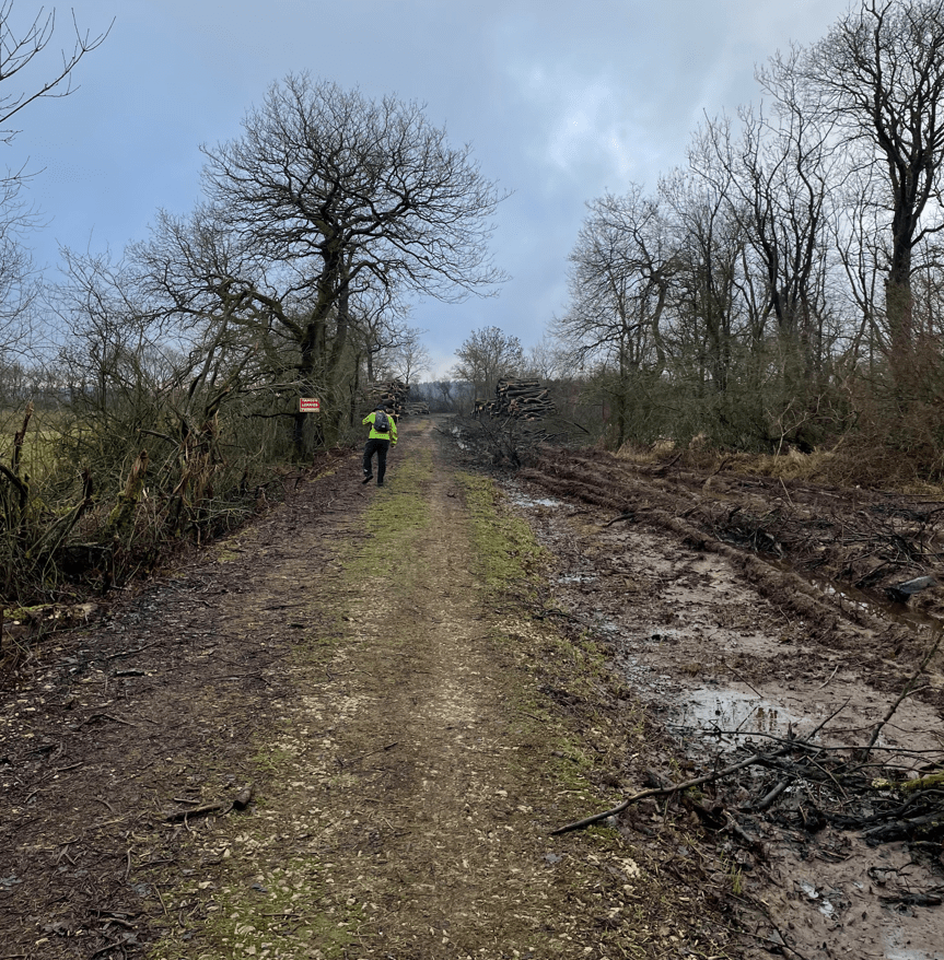
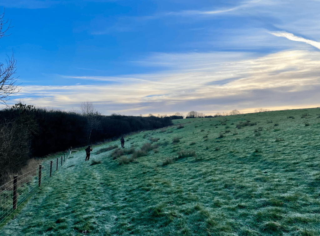
Next, we crossed more arable fields heading to Ingoldsby wood.
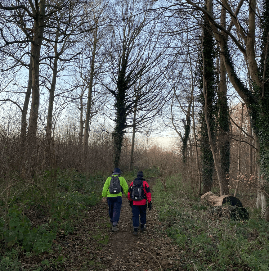
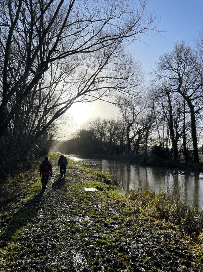
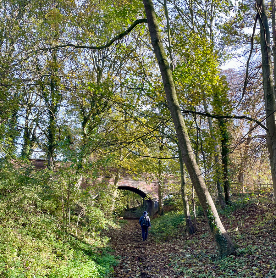
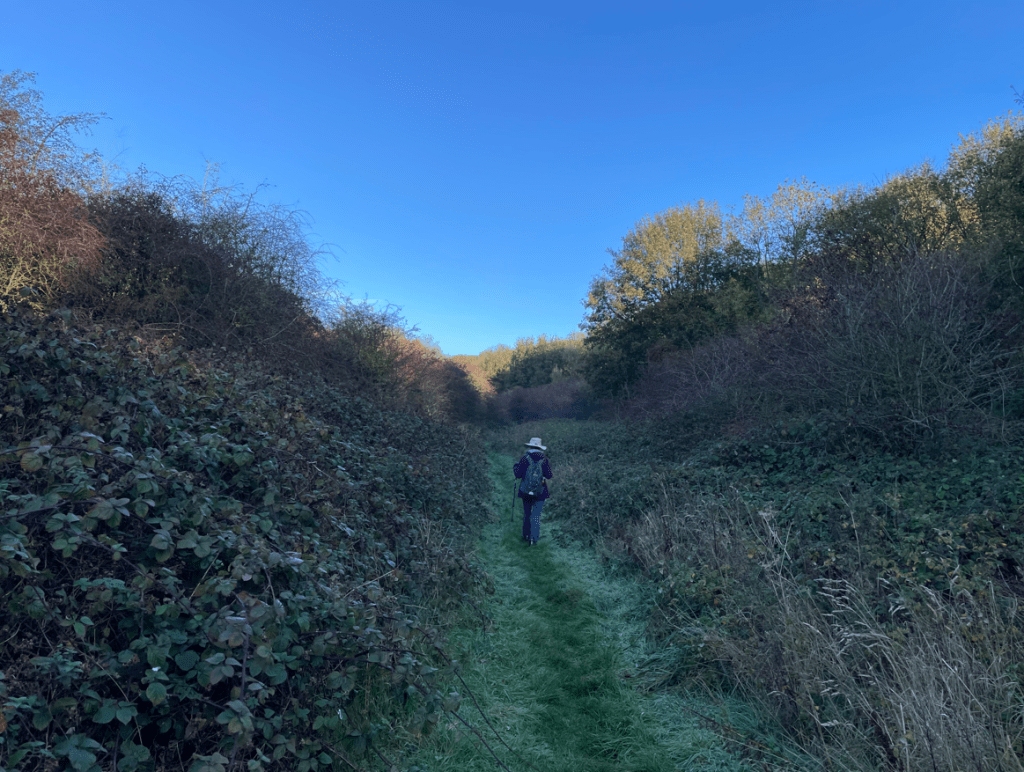
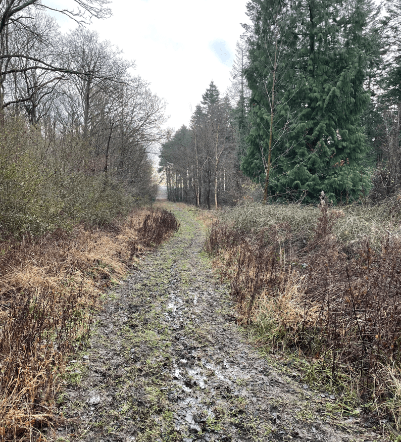
Entering Ingoldsby wood we found the path very muddy and it required care not to slip over. To slip into the mud would have been a disaster.
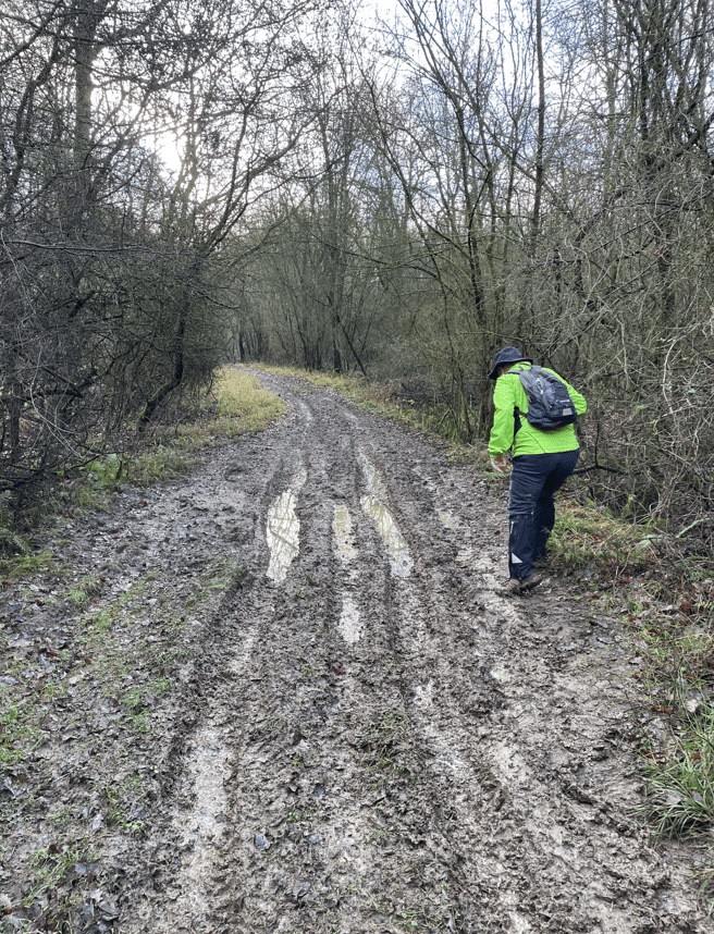
After a careful walk we eventually saw the light at the end of the tunnel.
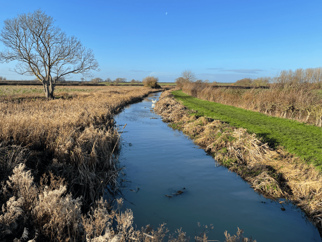
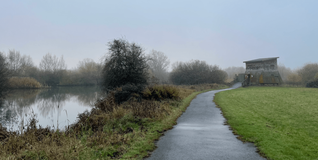
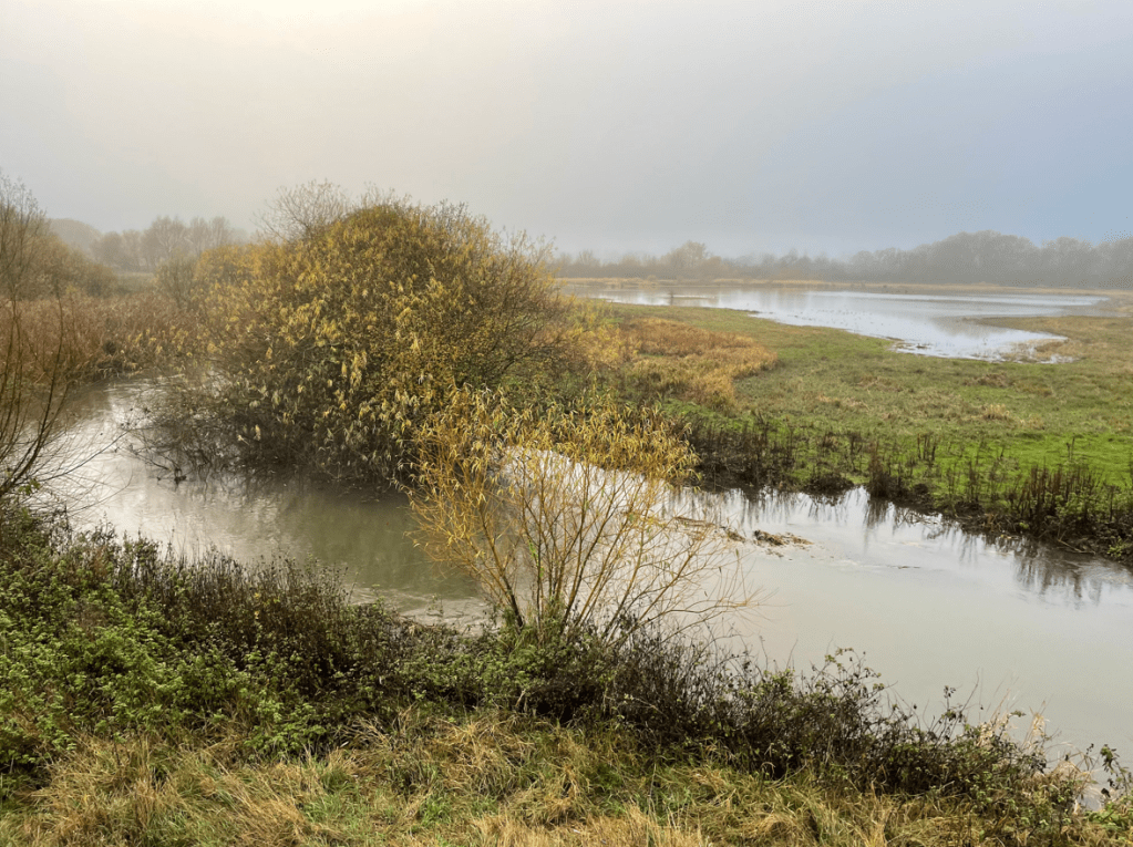
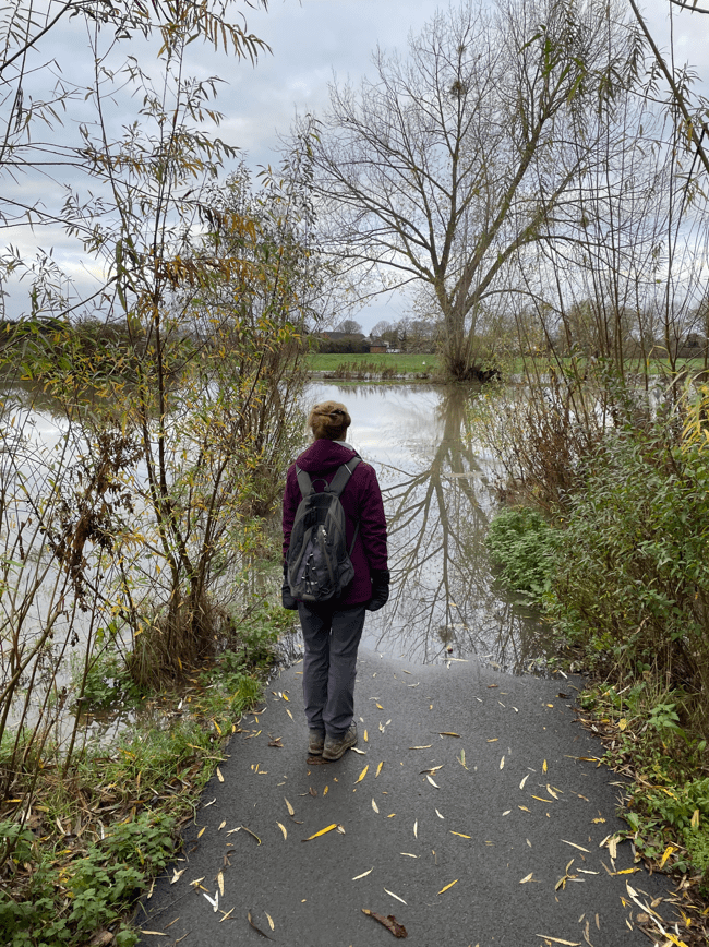
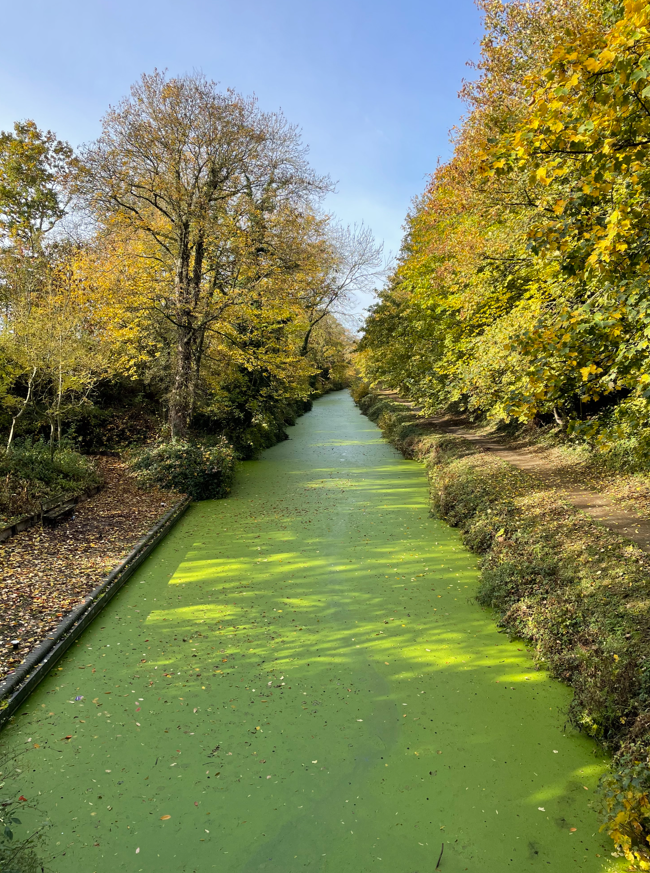
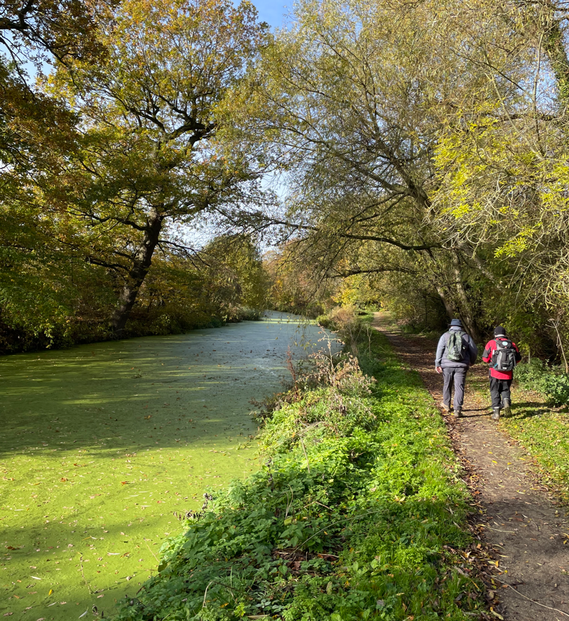
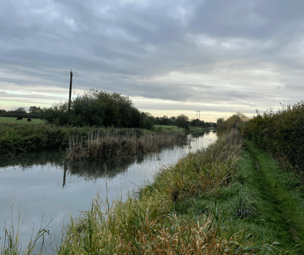
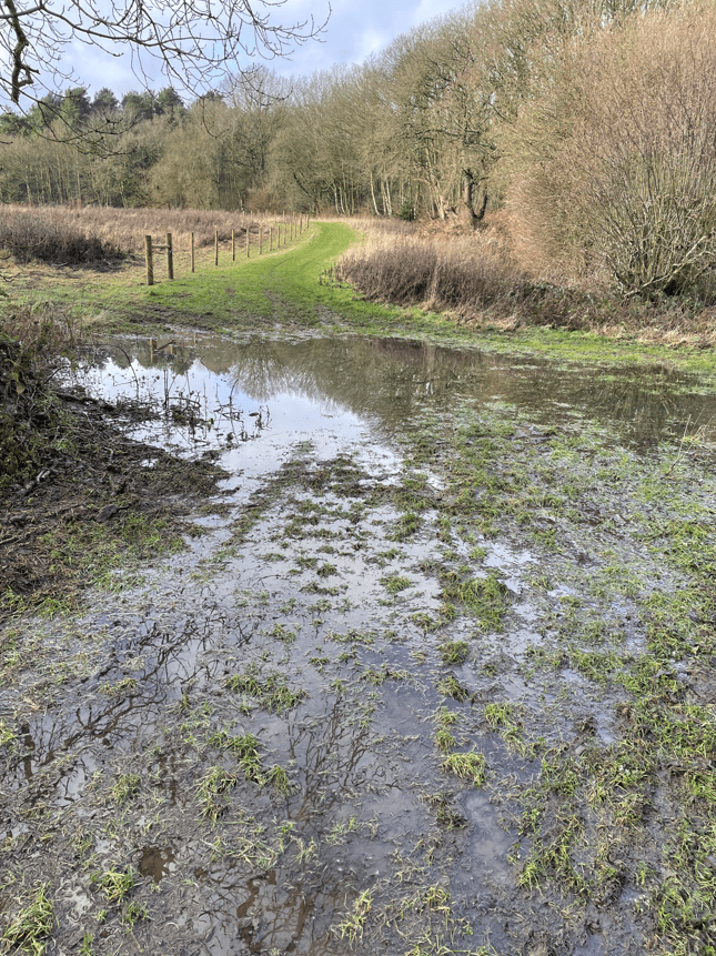
Leaving the wood we then encountered a pool of water on the path – we managed to skirt around the outside. All signs that it has been another very wet winter. The gaiters were proving beneficial.
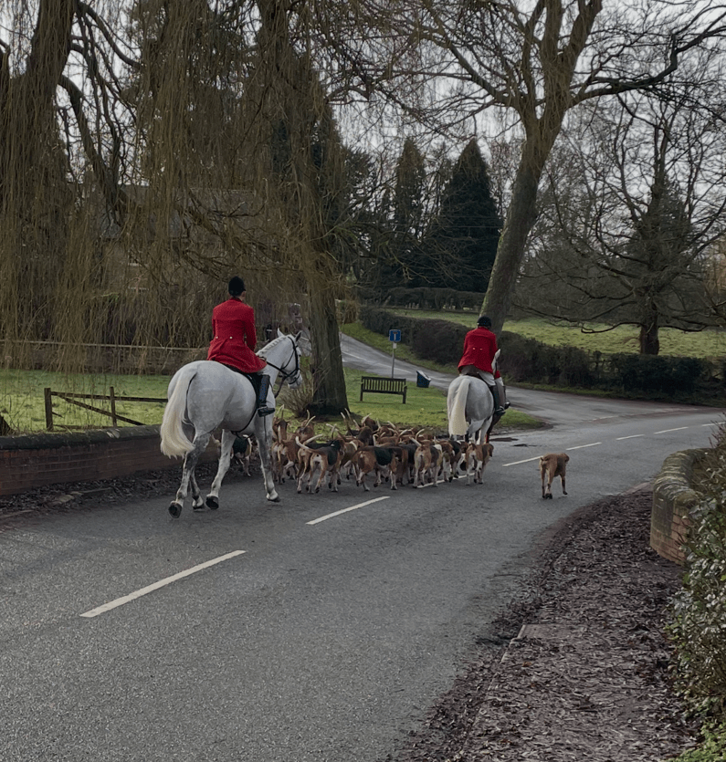
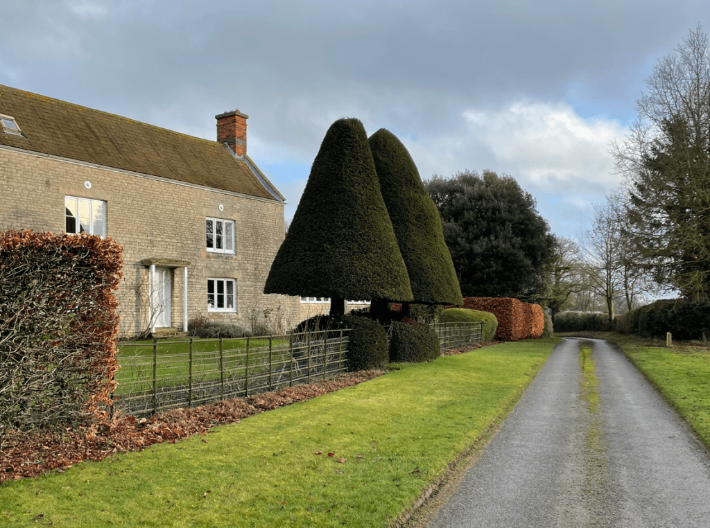
We were soon in the small hamlet of Scotland where we passed some topiary trees that looked nice.
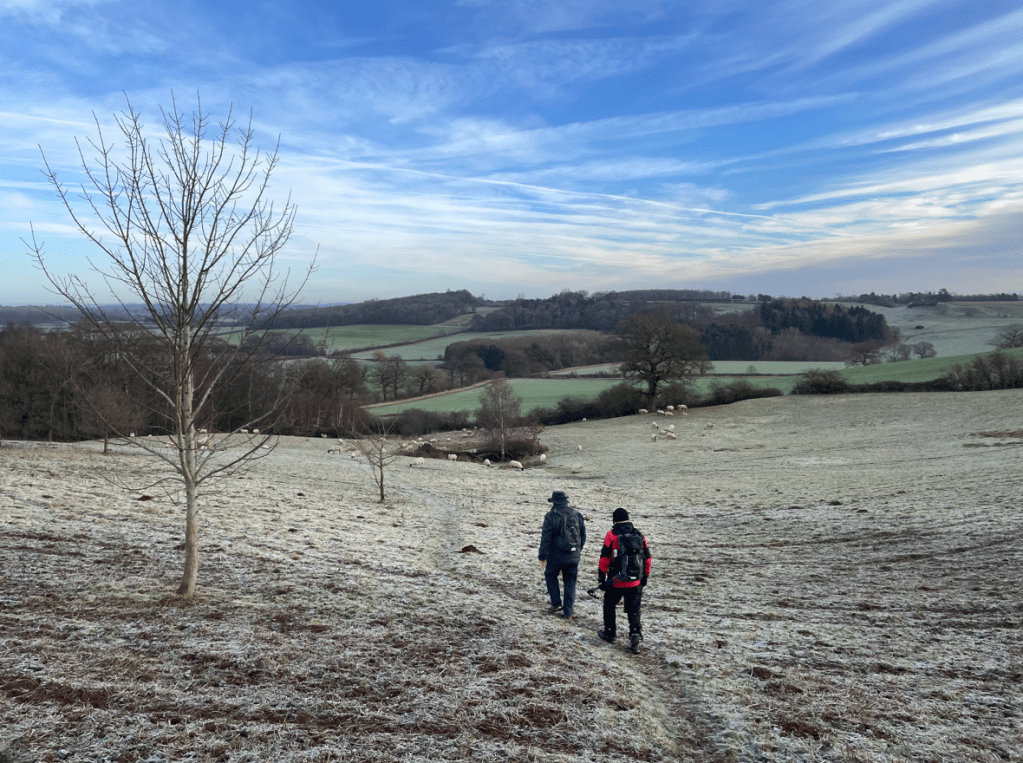
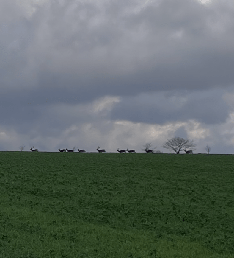
As we were walking across another field we saw deer prints in the mud- we thought it was interesting that the deer were following the path. As we were talking I spotted a herd of deer on the horizon ahead of us.
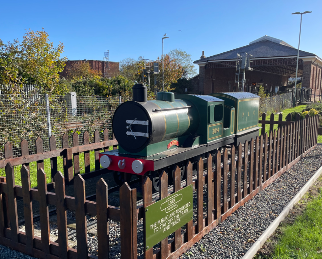
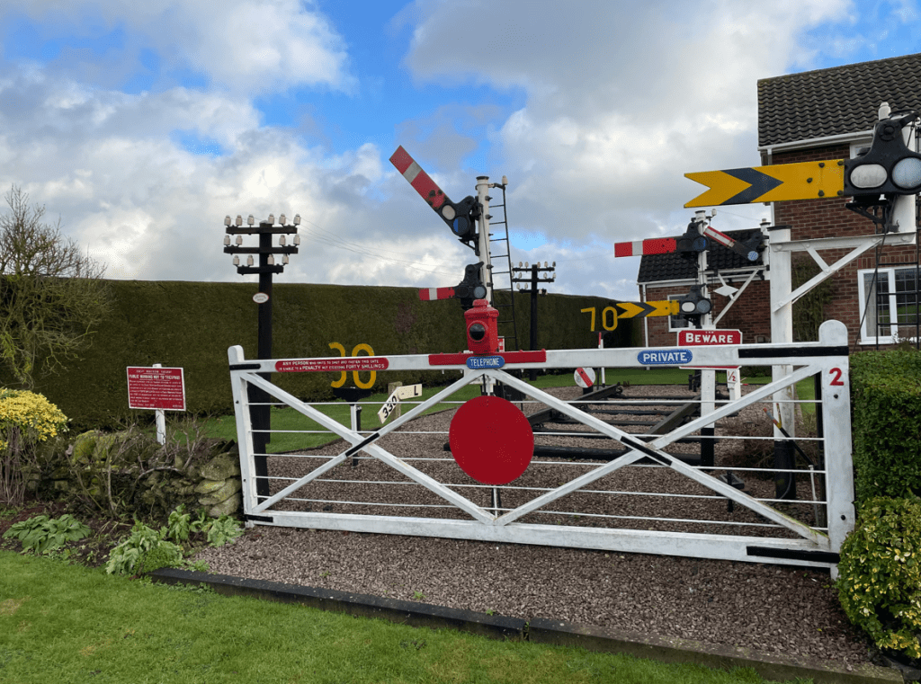
Shortly we were passing through Great Humby and Little Humby. We passed an interesting front garden containing railway memorabilia.
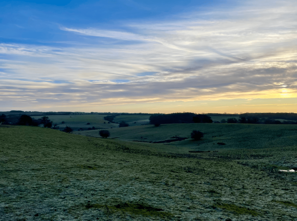
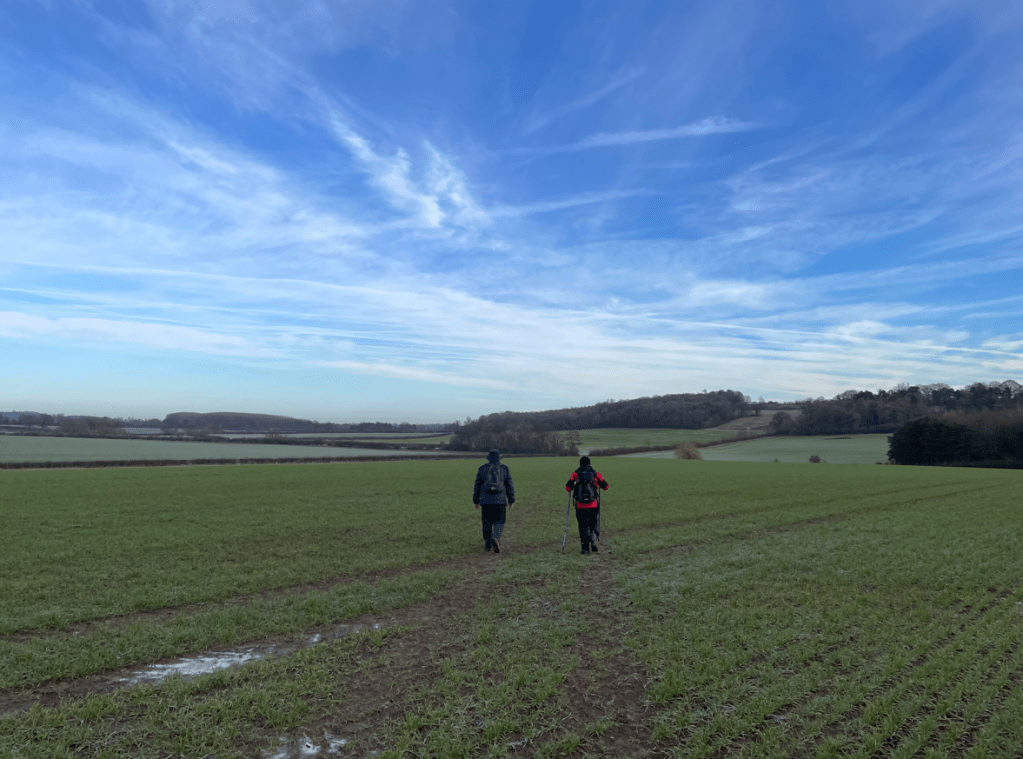
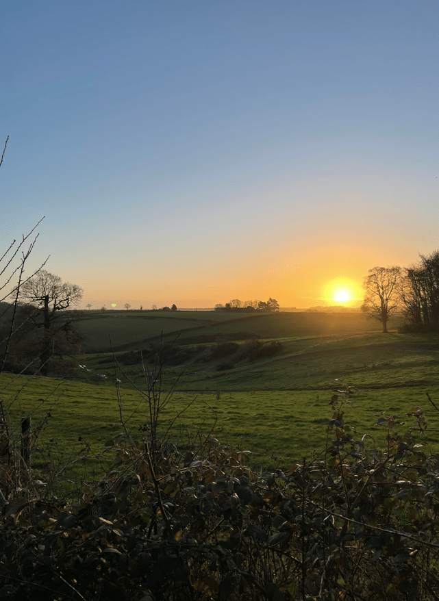
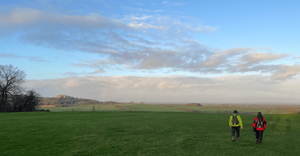
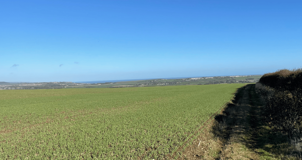
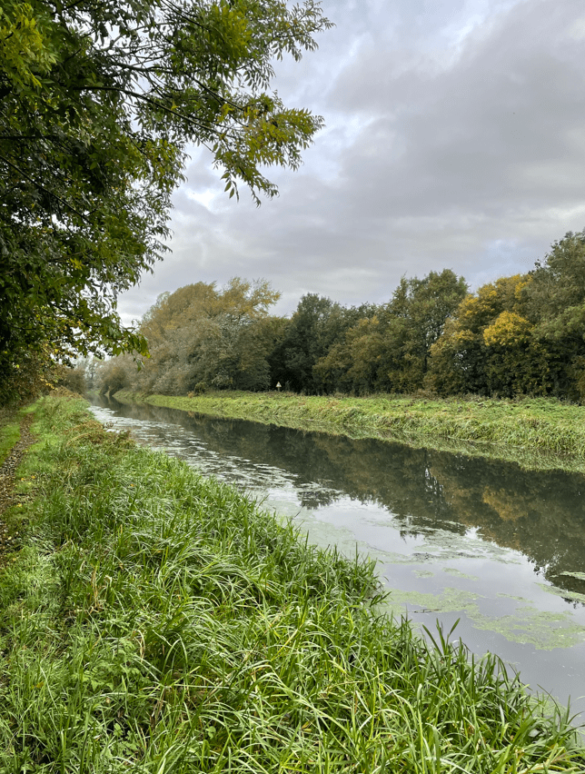
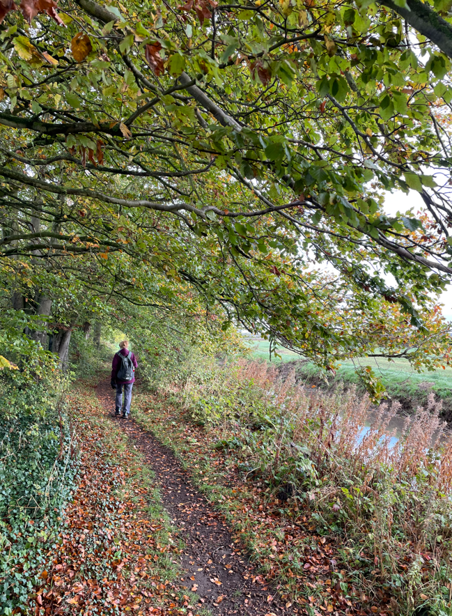
Continuing across fields towards Ropsley the mud was sticking to the soles of our boots and dropping off in clumps. Typical Lincolnshire walking conditions I would say. We had a sense of remoteness along the walk along with nice open views. Before long we were arriving back into Rospley – I could feel in my legs that the walk had been strenuous.
The weather forecast for next week is looking grim – hopefully the Three Amigos will manage to get a walk in.
Happy Walking! 😊🚶