Hello and welcome back to my blog 😊.
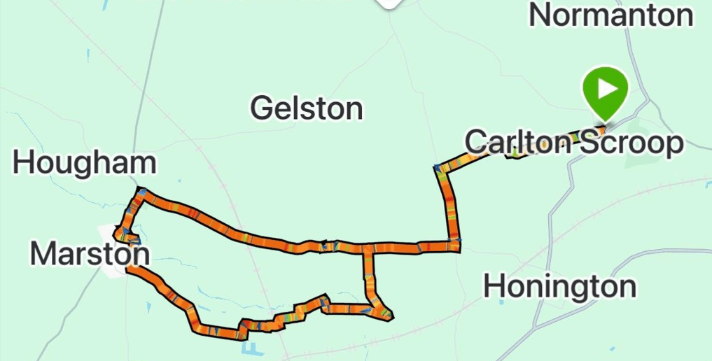
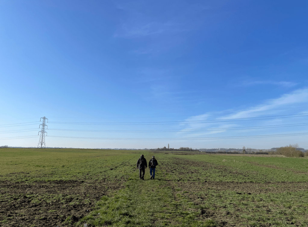
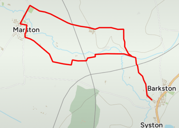
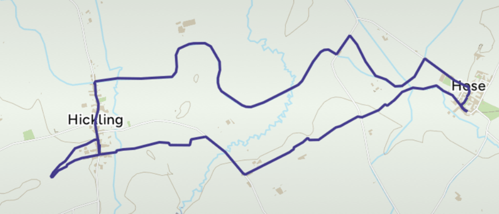
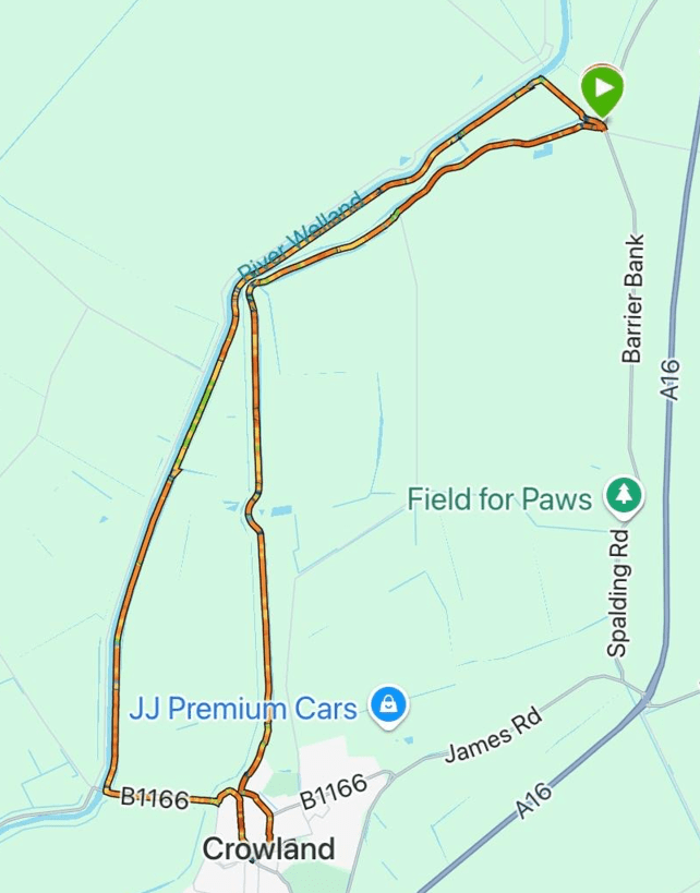
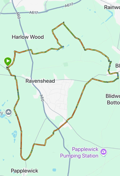
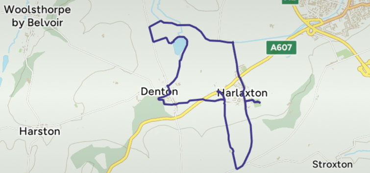
Today, myself and Angela enjoyed an 8-mile circular walk starting in Denton village and going to Harlaxton village- where we joined the Grantham canal, followed by a visit to the tranquil Denton reservoir, before arriving back to the start.
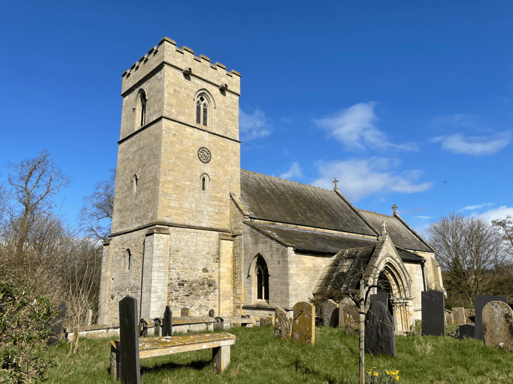
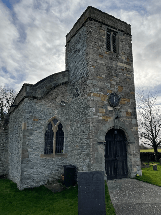
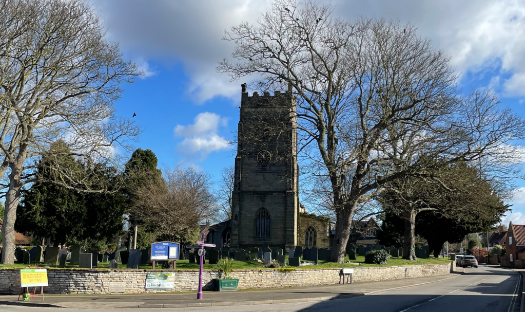
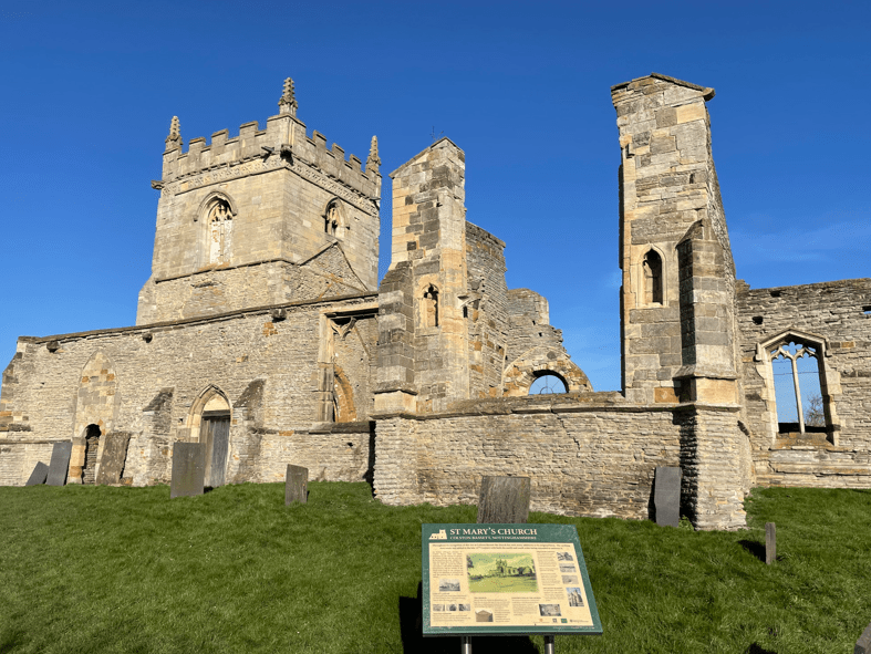
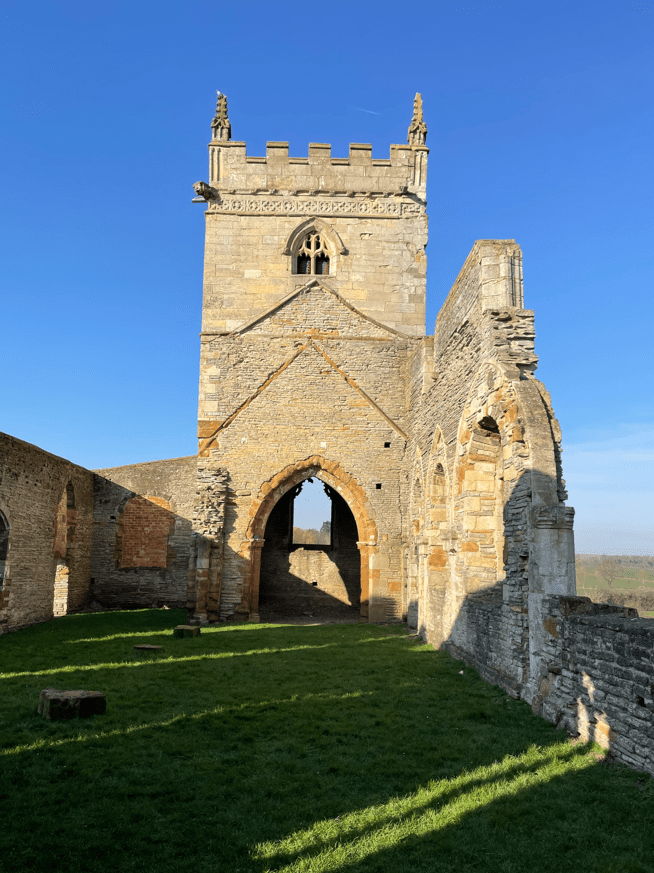
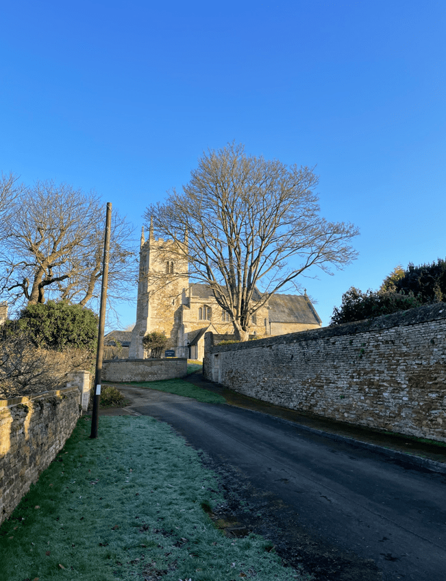
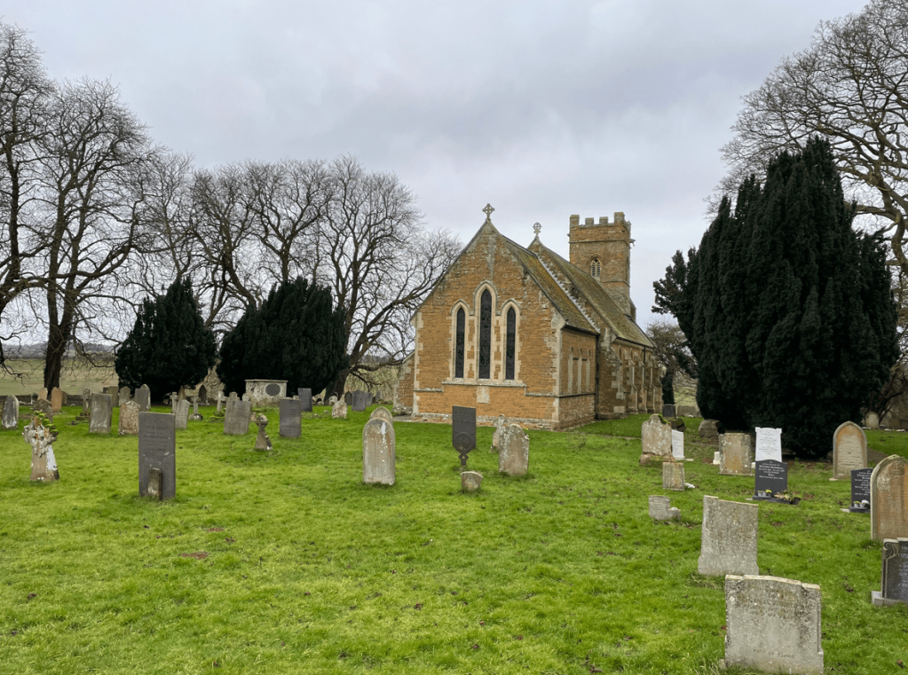
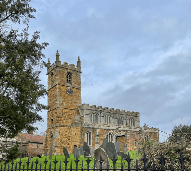
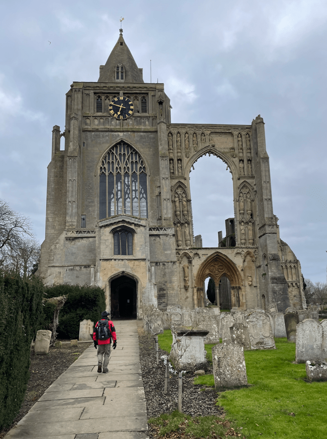
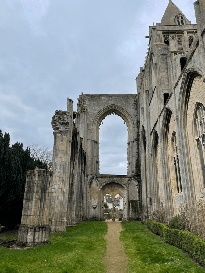
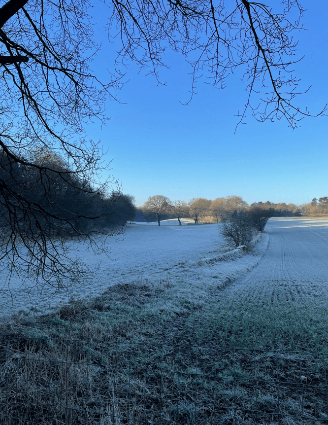
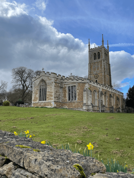
It was a bright sunny morning, although chilly once again, as we set off looking forward to a nice walk (we were not disappointed). Walking through Denton we passed St Andrews church. Like many villages in this area the church and many houses are build using Ironstone and have a lovely light brown colour.
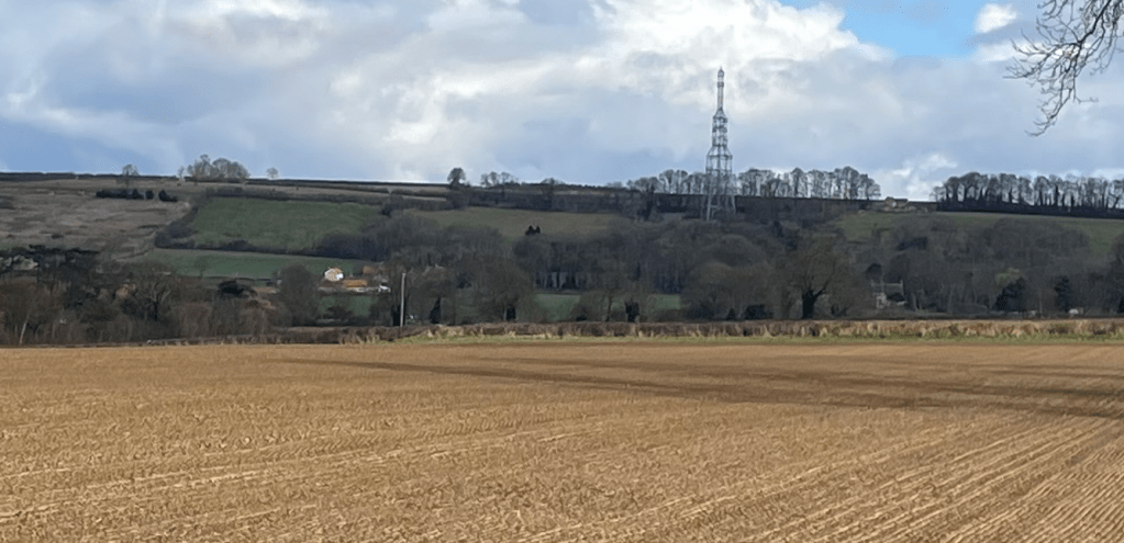
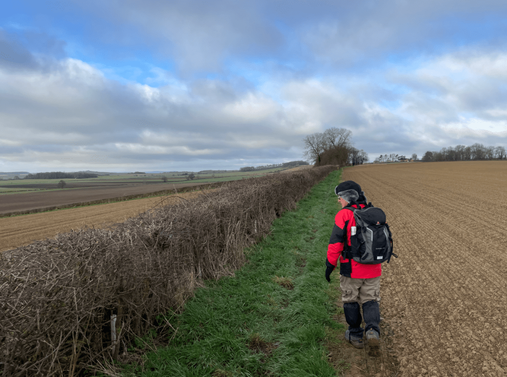
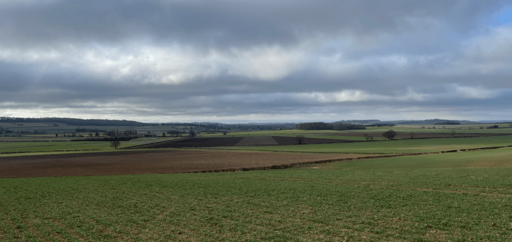
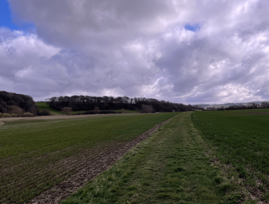
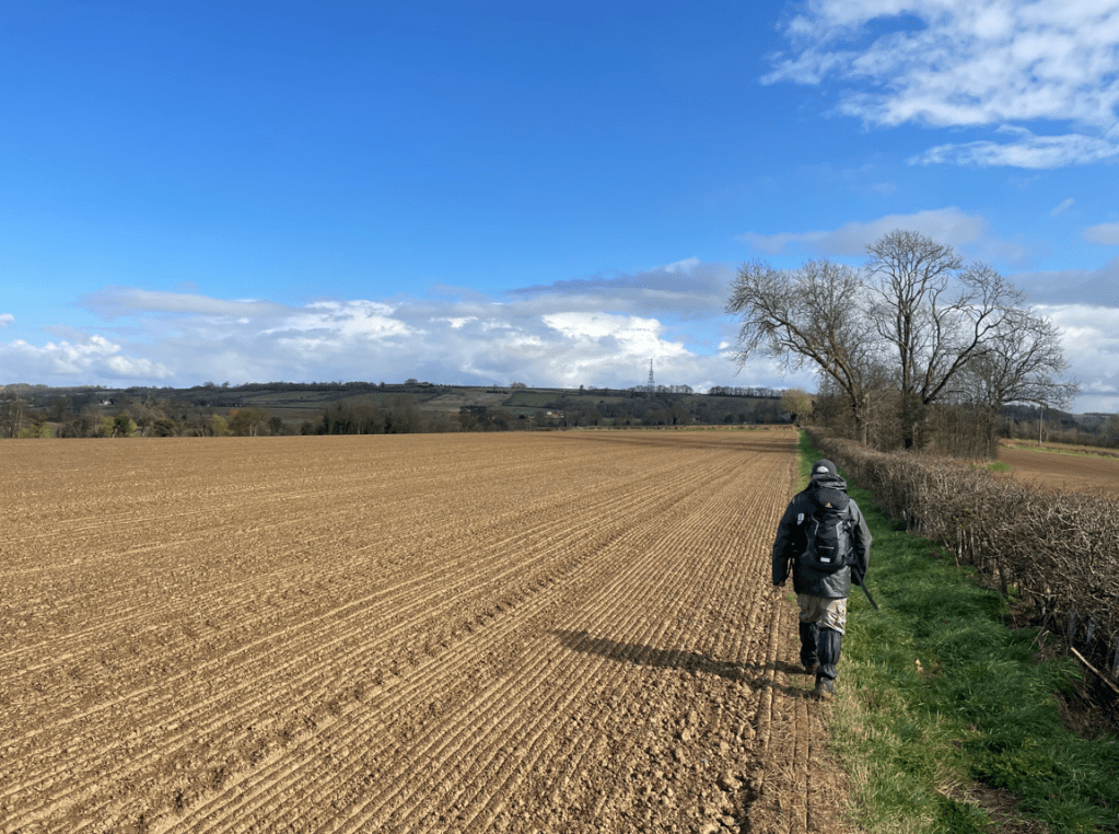
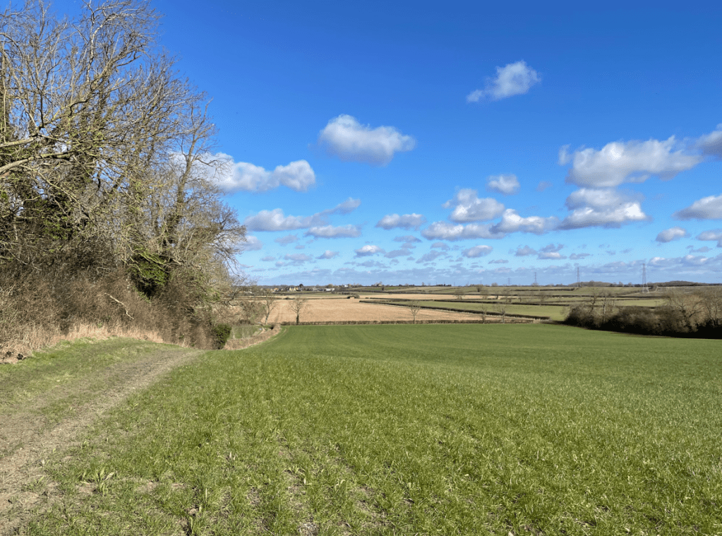
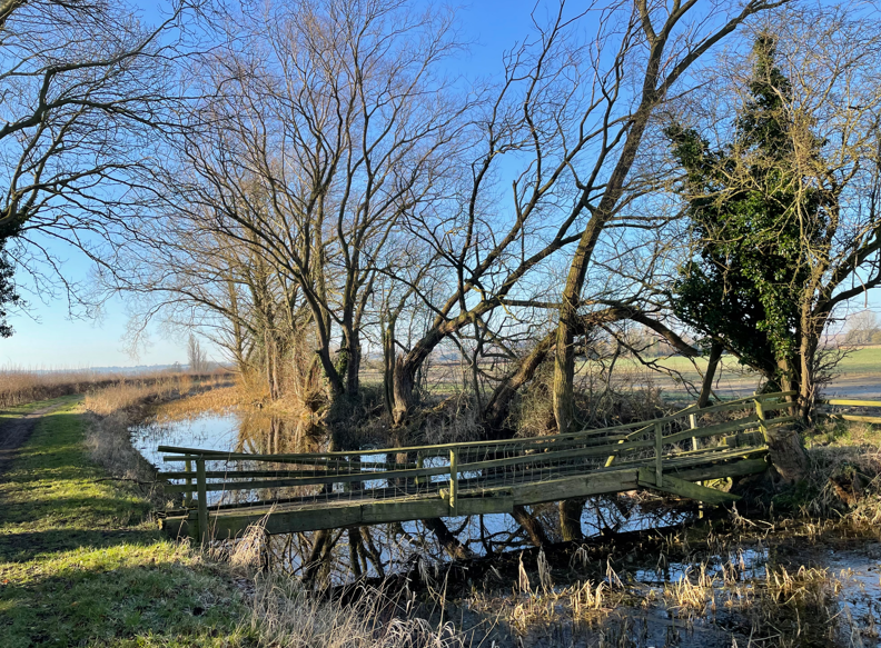
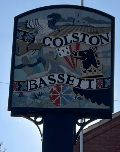
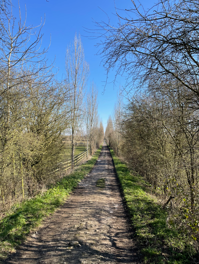
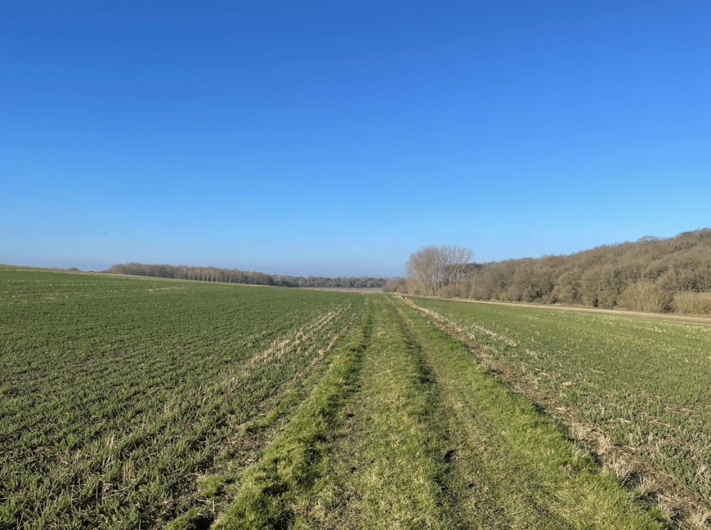
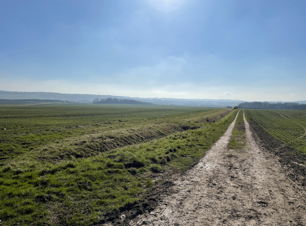
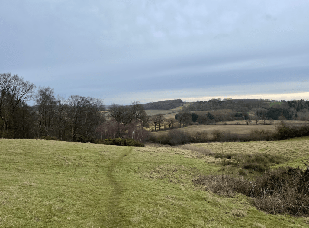
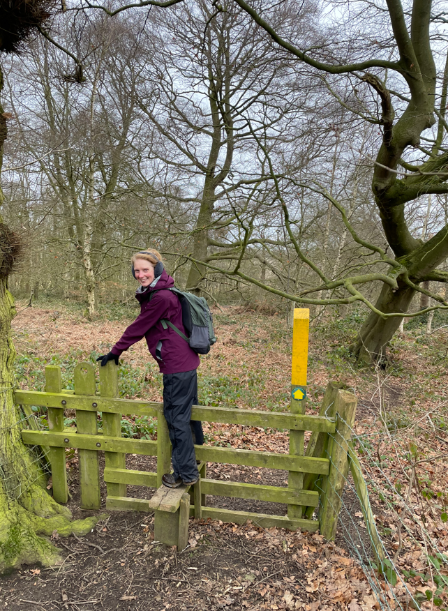
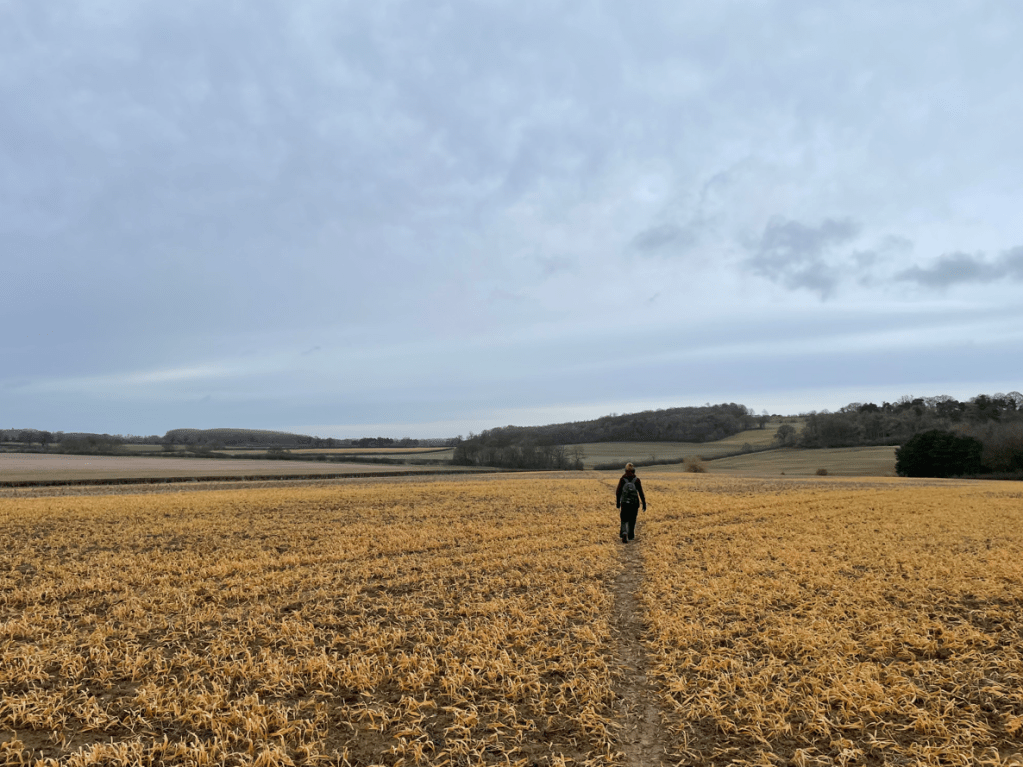
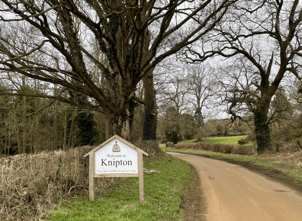
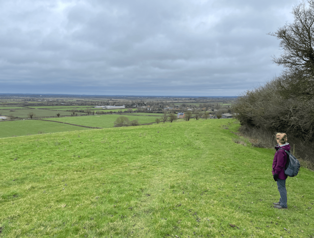
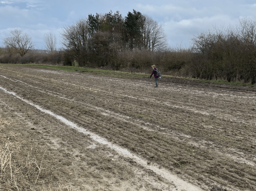
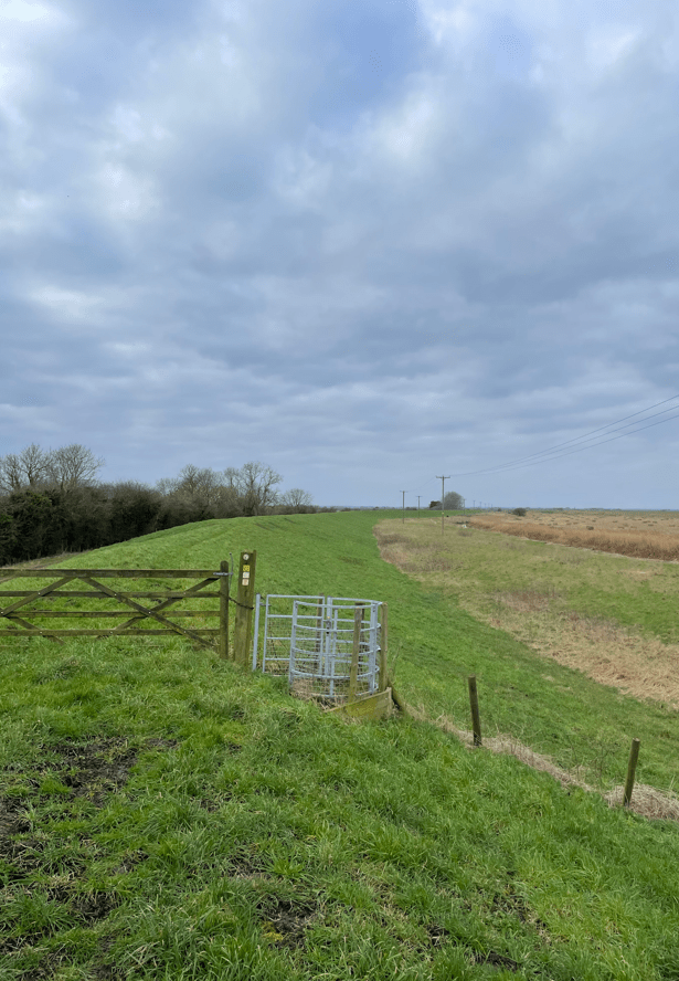
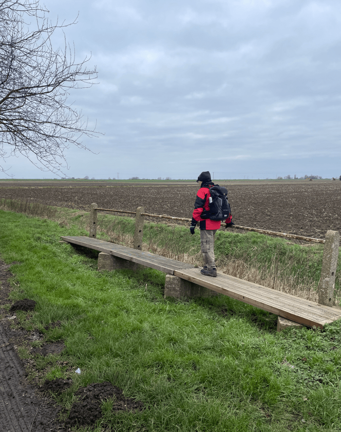
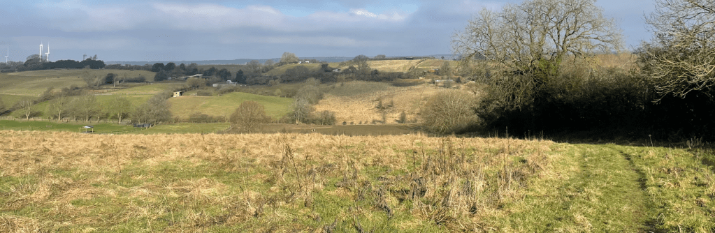
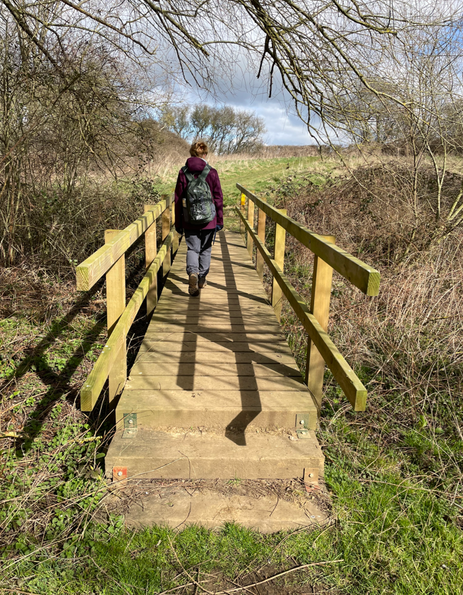
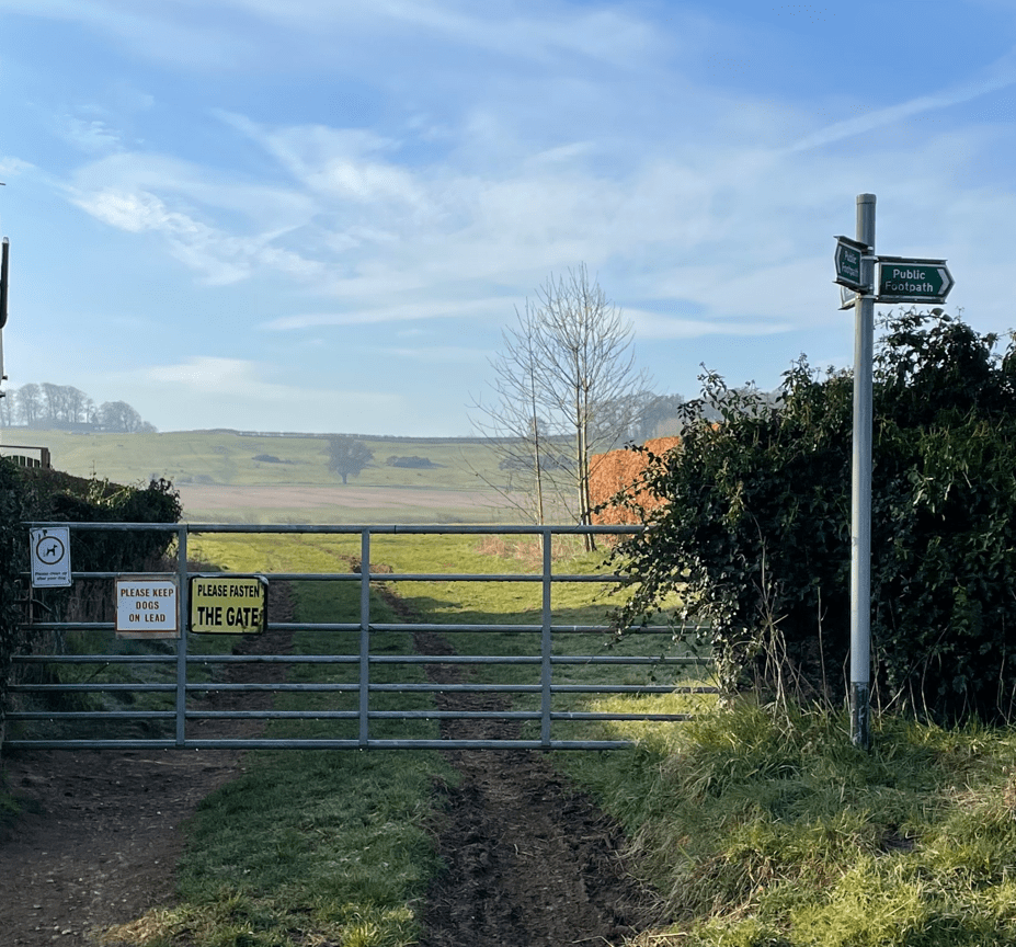
Having looked at the church we continued through the village eventually leaving via fields, crossing a wooden bridge followed by many more fields to arrive at the outskirts of Harlaxton village. However ,we wouldn’t be heading for the centre just yet, we were heading out again and uphill to enjoy views back.
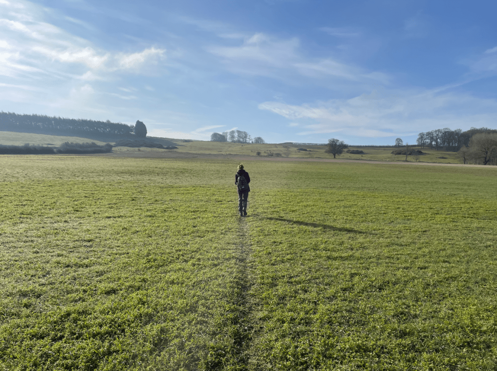
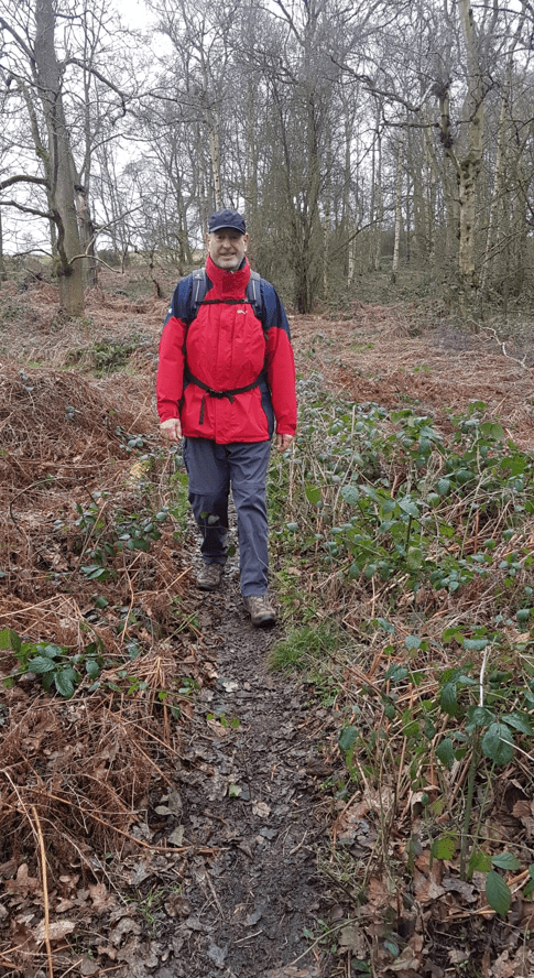
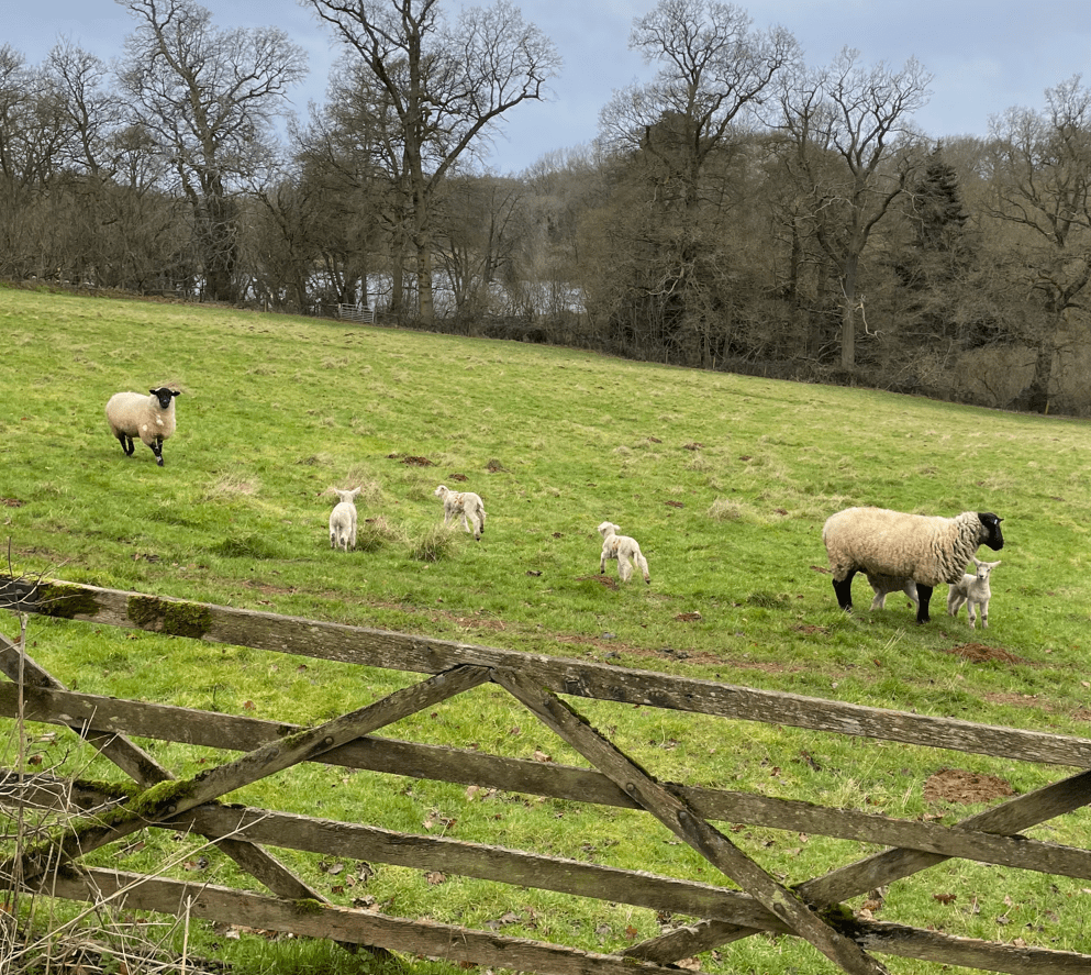
As we moved closer to the top we passed through a field containing some lovely placid horses. We stood for a while admiring the view.

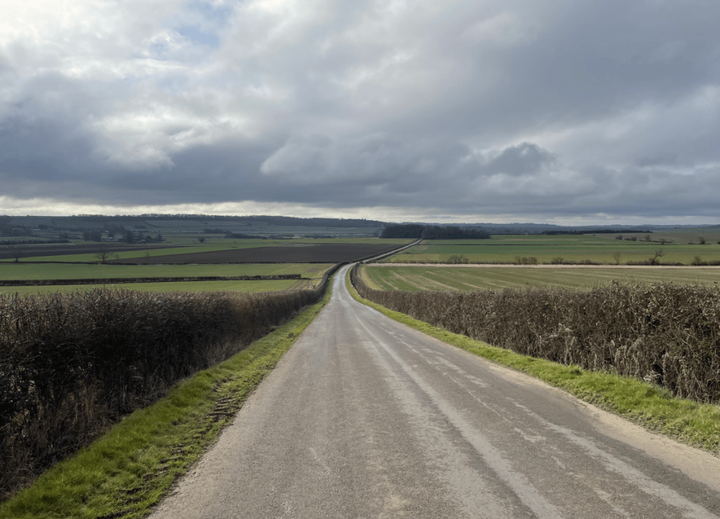
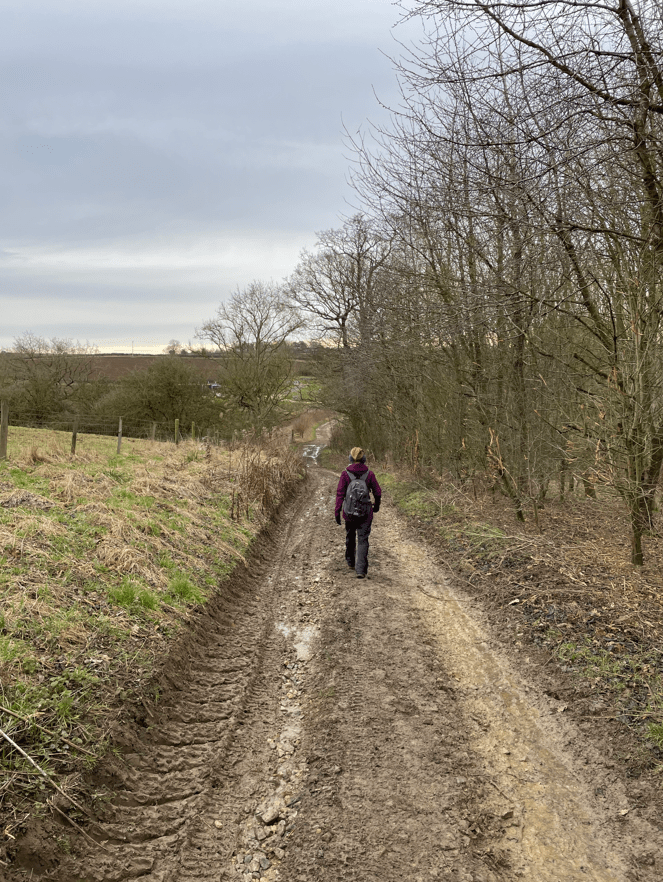
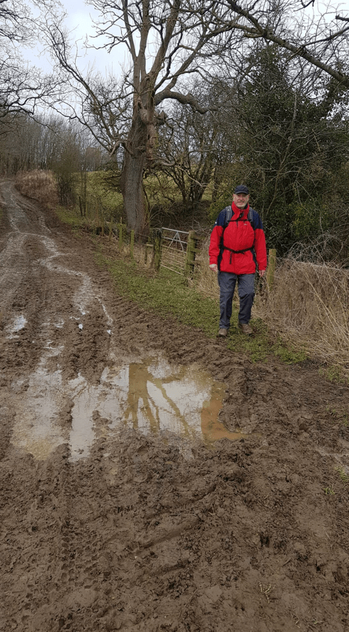
After crossing another field and climbing up a metal ladder (you don’t see these very often) we met a road. An easy walk downhill brought us back into Harlaxton.

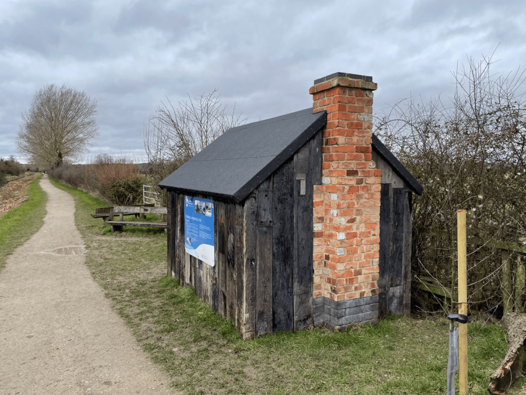
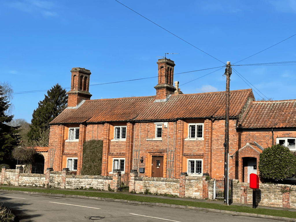
Walking into the village we were intrigued by the unusually tall chimneys.
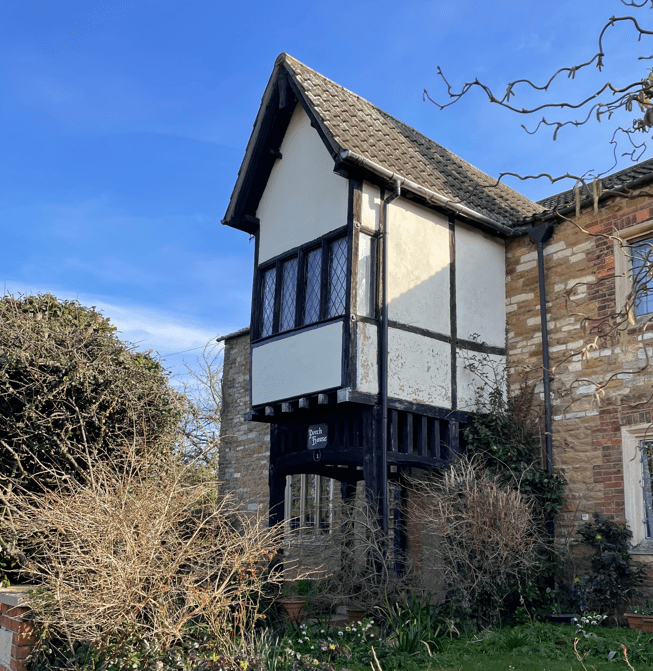
We noted that a couple of houses had an unusual canopy/extension.

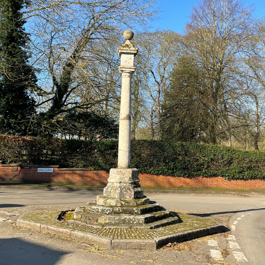
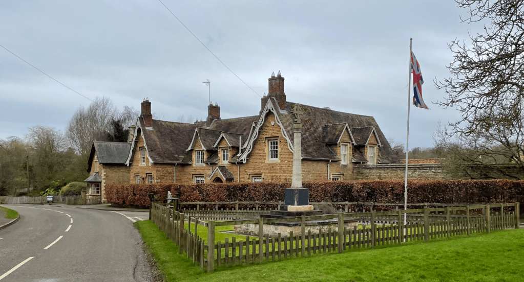
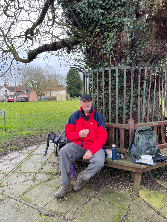
We paused at the green by the obelisk (remains of the village cross) and had a cuppa.

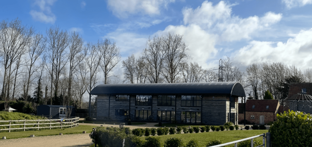
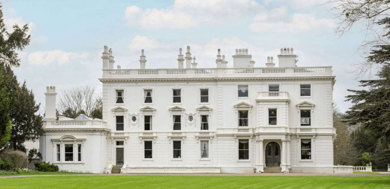
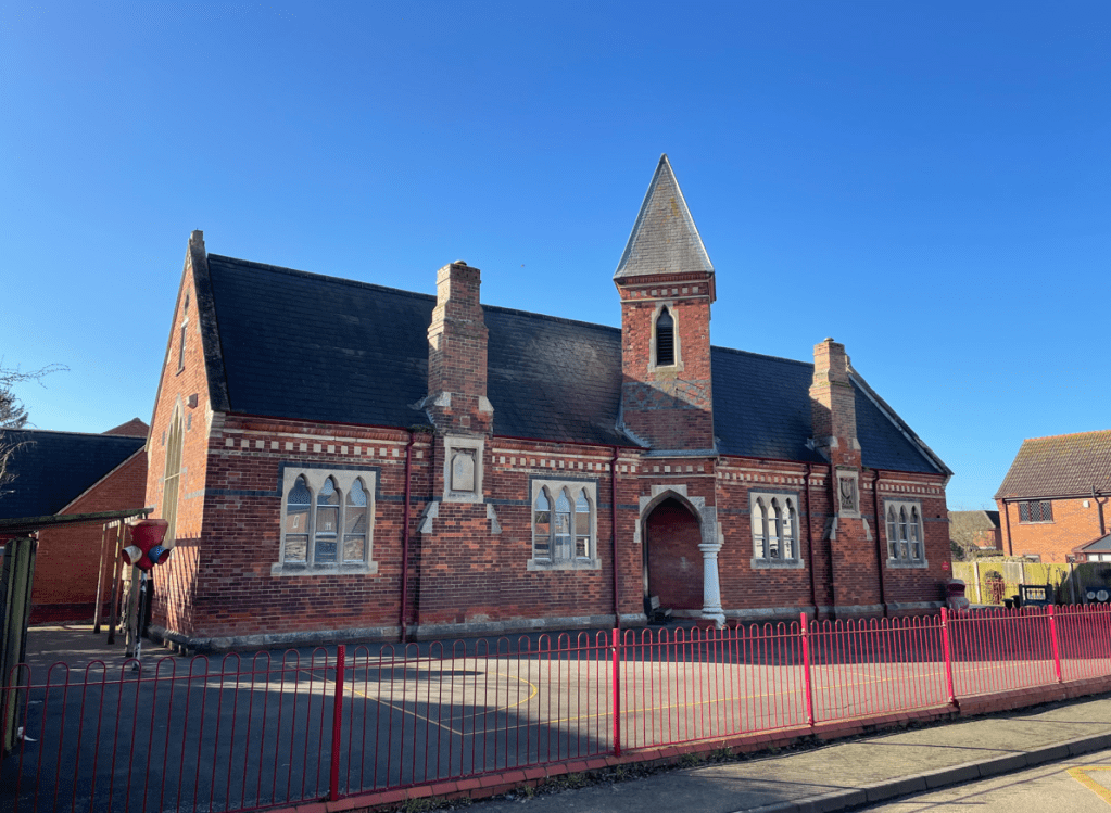
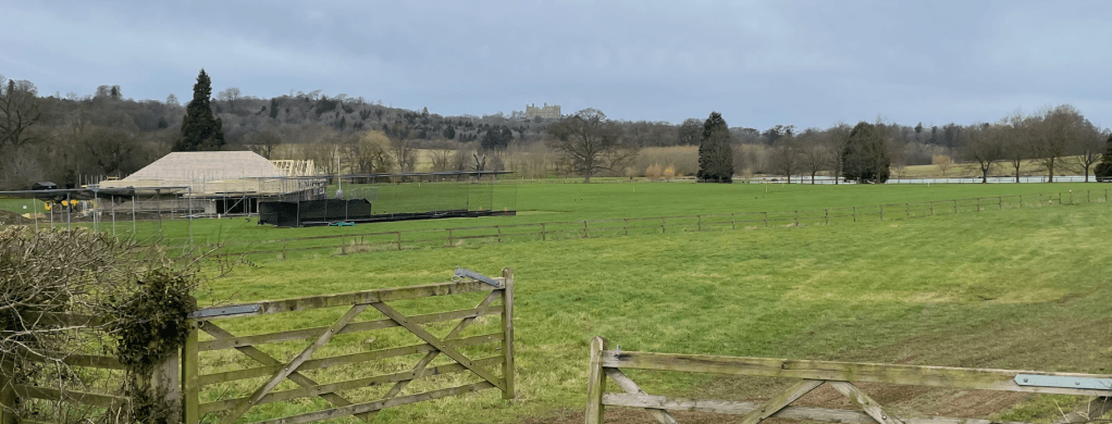
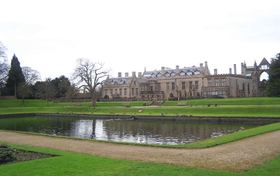
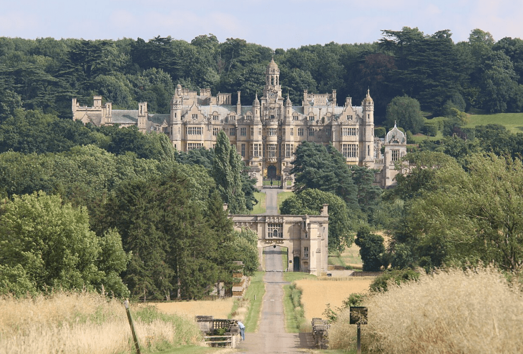
Perhaps the most outstanding thing in Harlaxton is the Manor – a Victorian built house currently owned by the University of Evansville. The manor was built in the 1830’s by local businessman Gregory Gregory – the local pub is the Gregory Arms. The Manor opens to the public on certain days of the year and its definitely on my ‘must visit’ list.
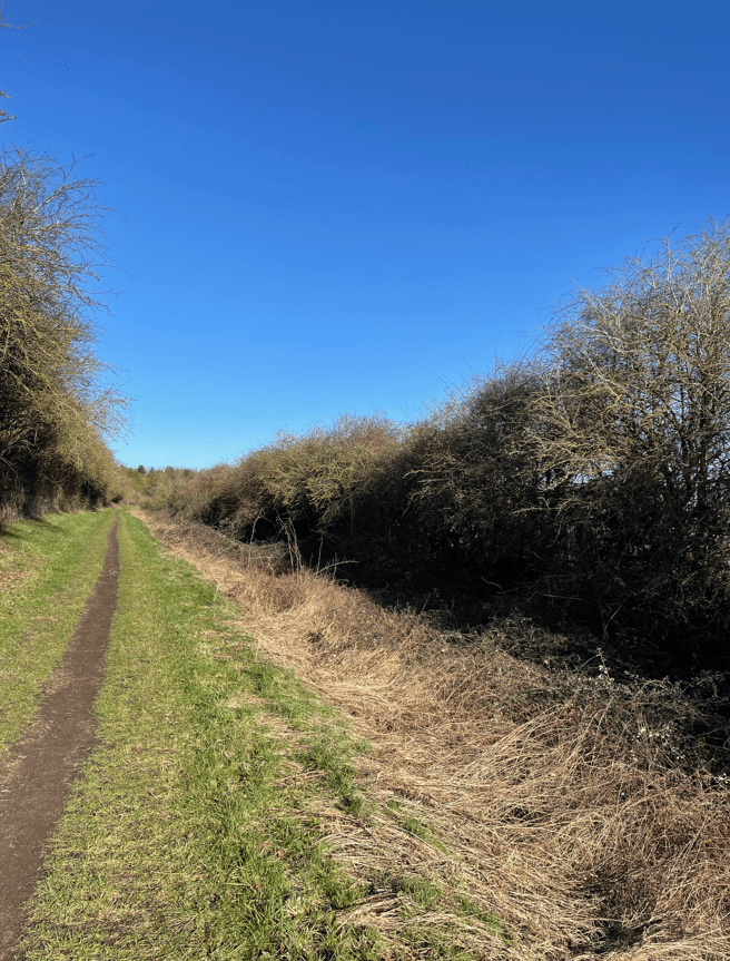
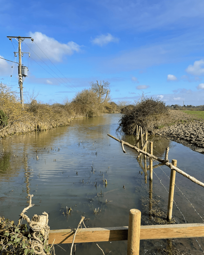
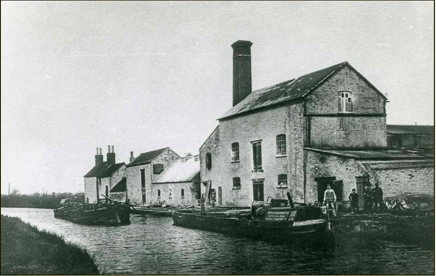
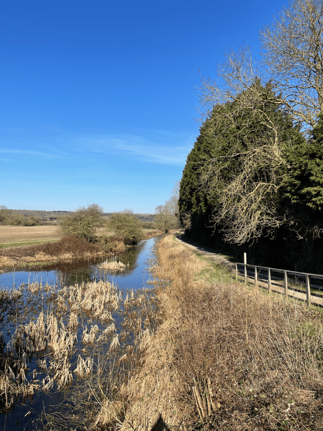
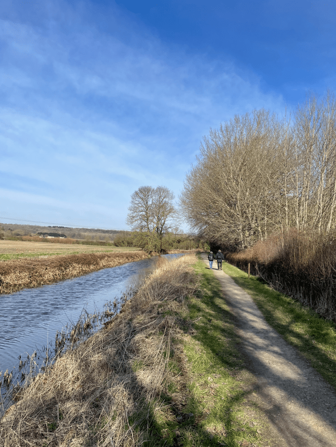
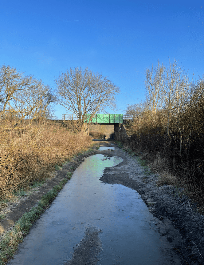
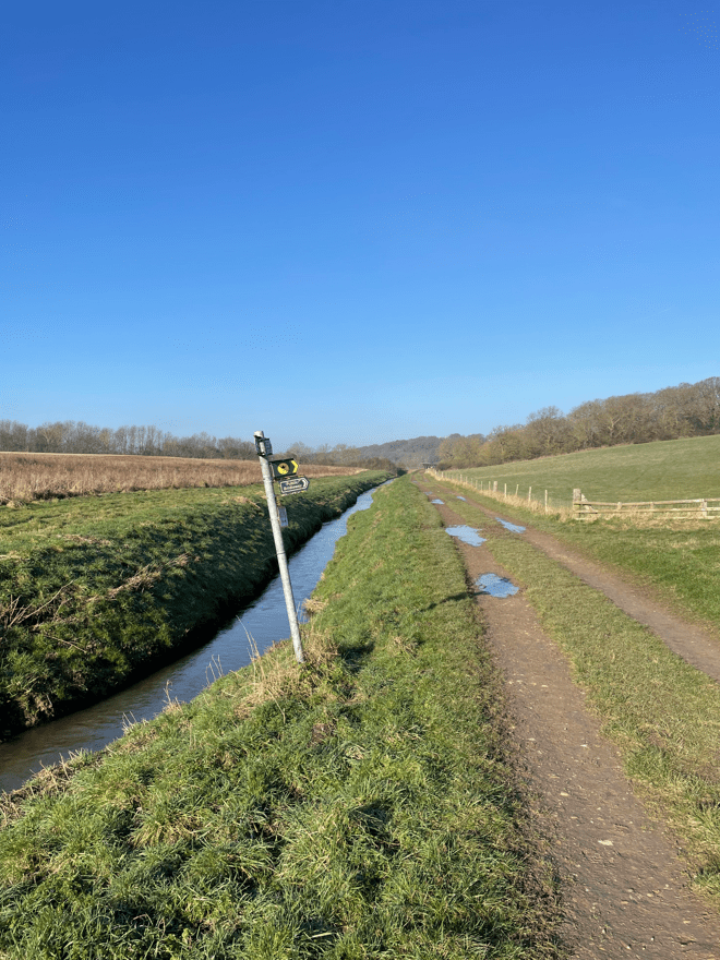
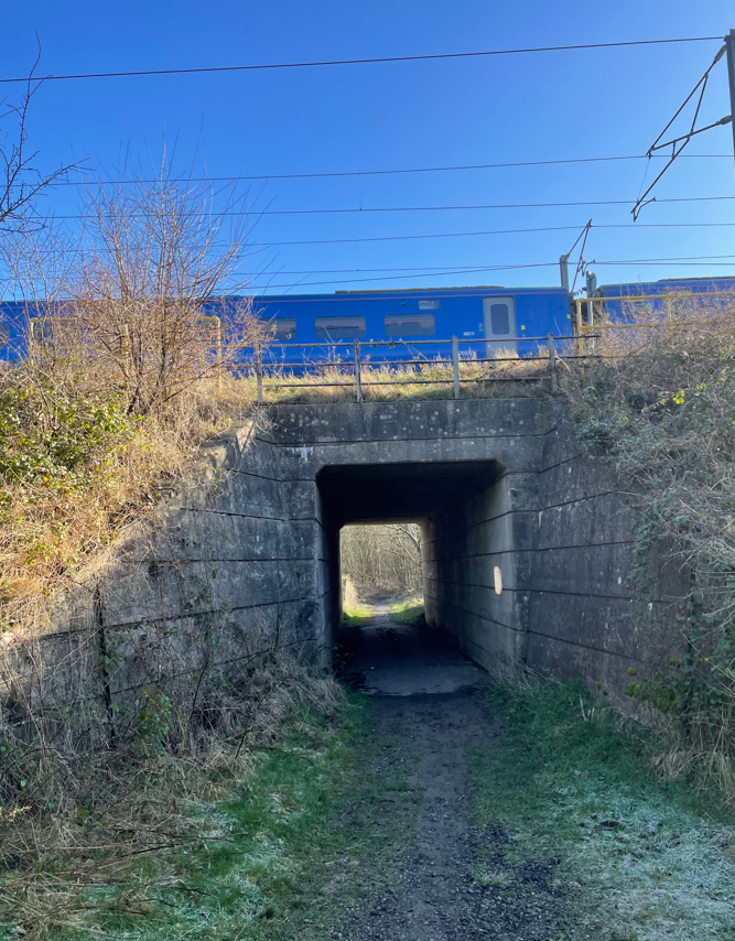
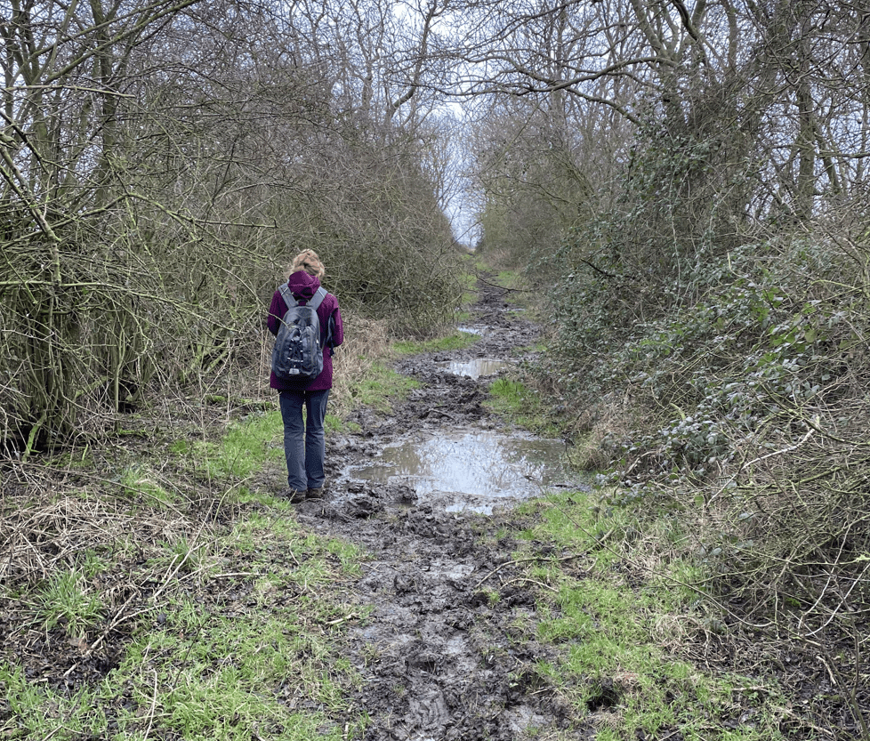
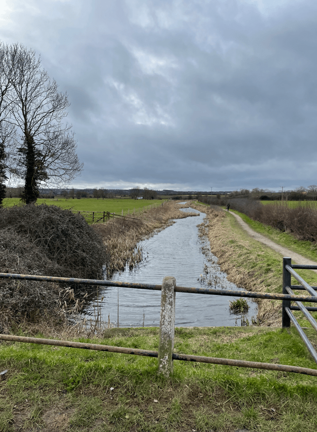
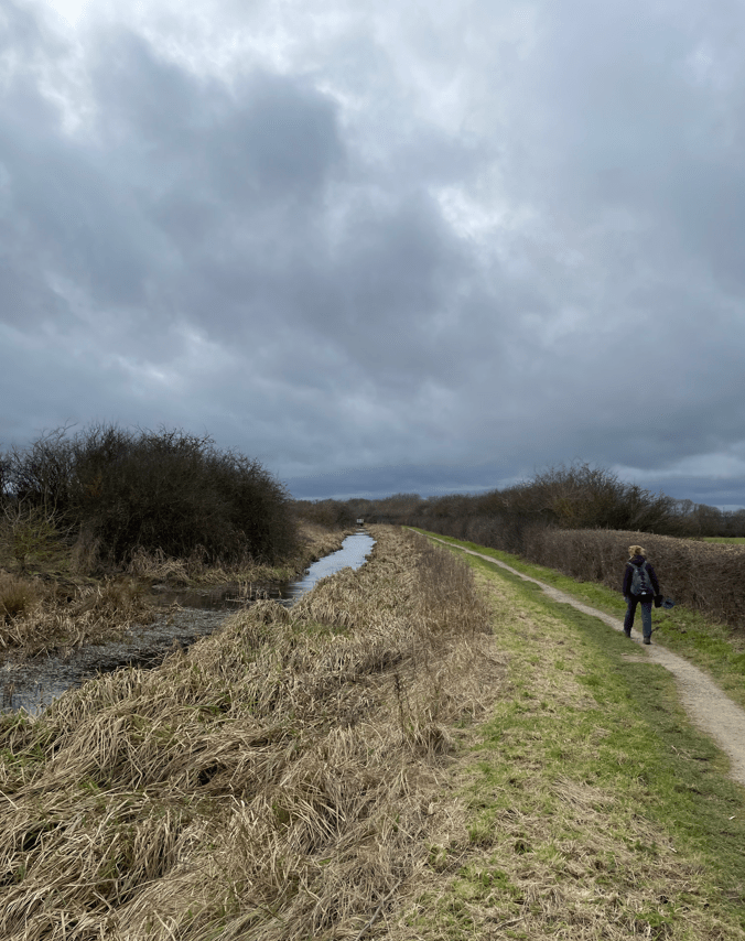
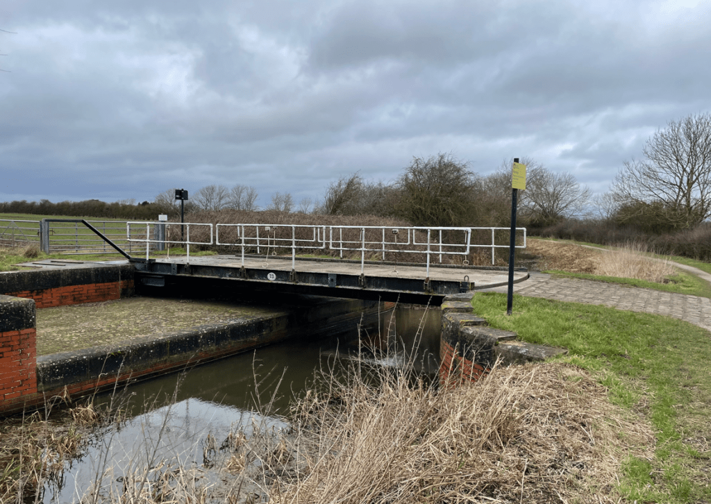
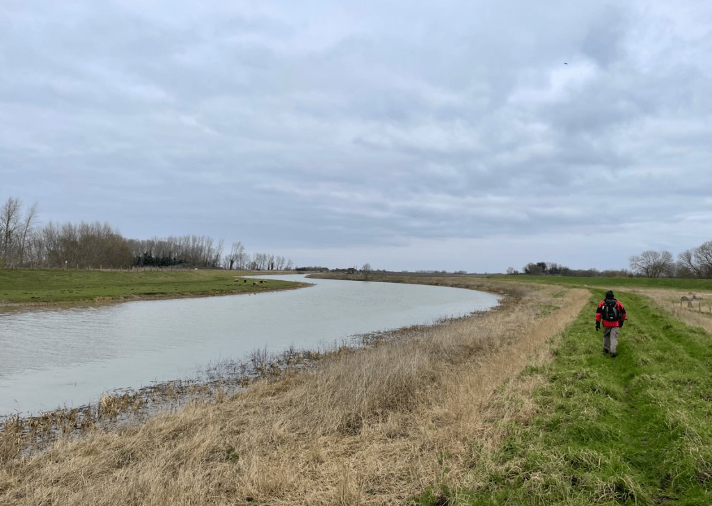
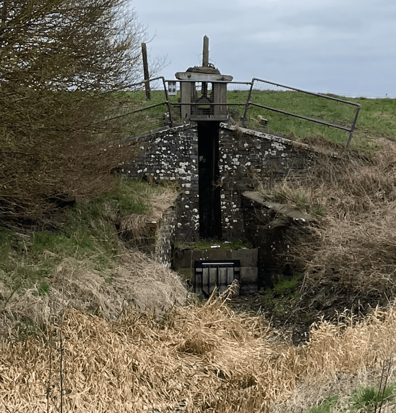
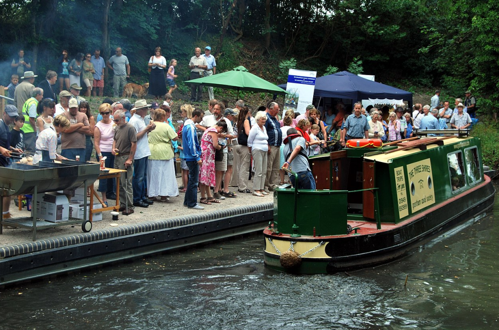
Continuing through Harlaxton we reached Harlaxton Wharf on the Grantham Canal. We joined the towpath and headed for Denton Wharf.

Harlaxton Wharf was much quieter today than on another occasion!
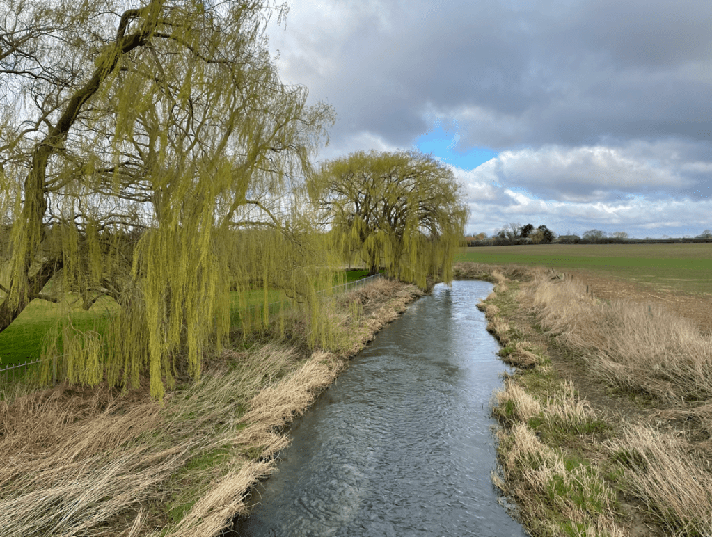
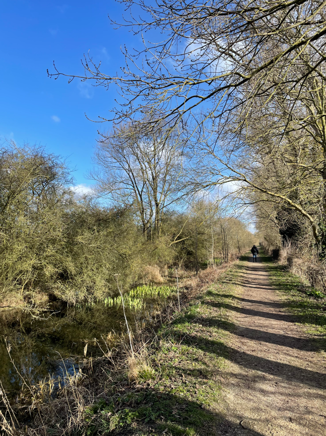
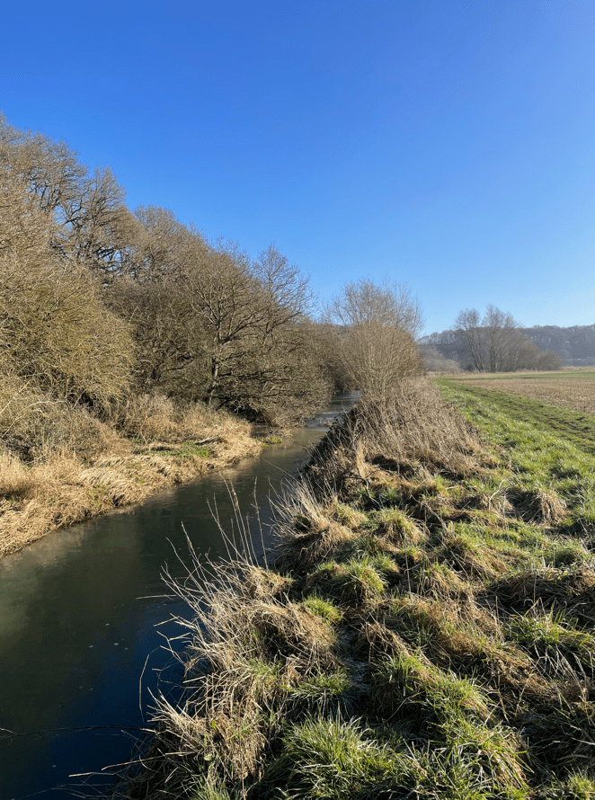
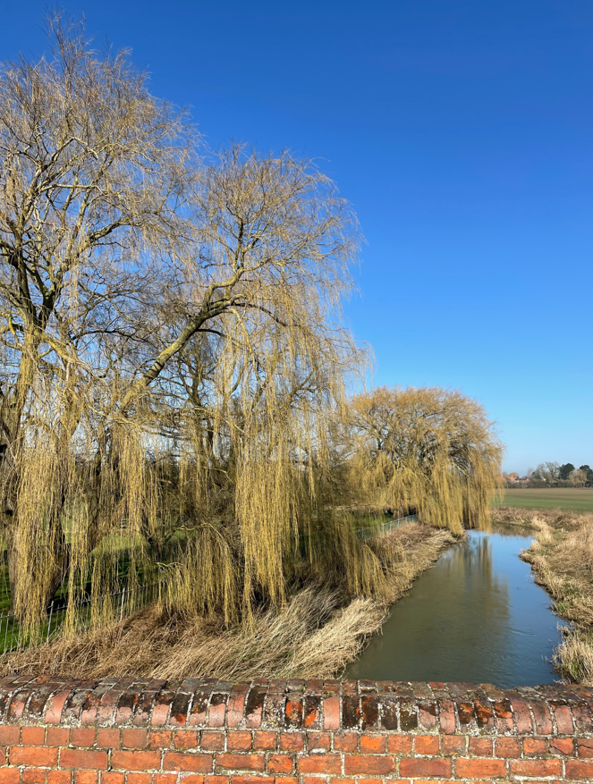
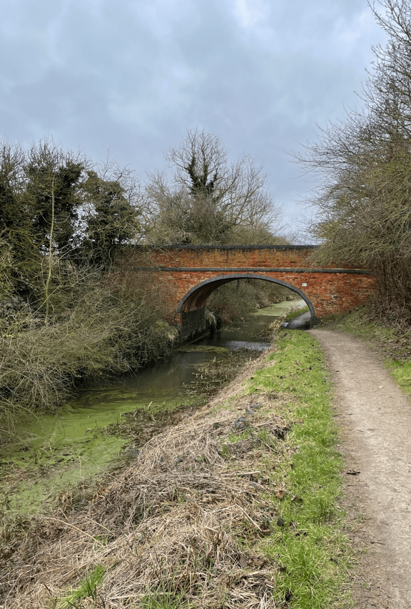
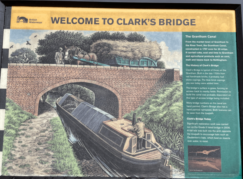
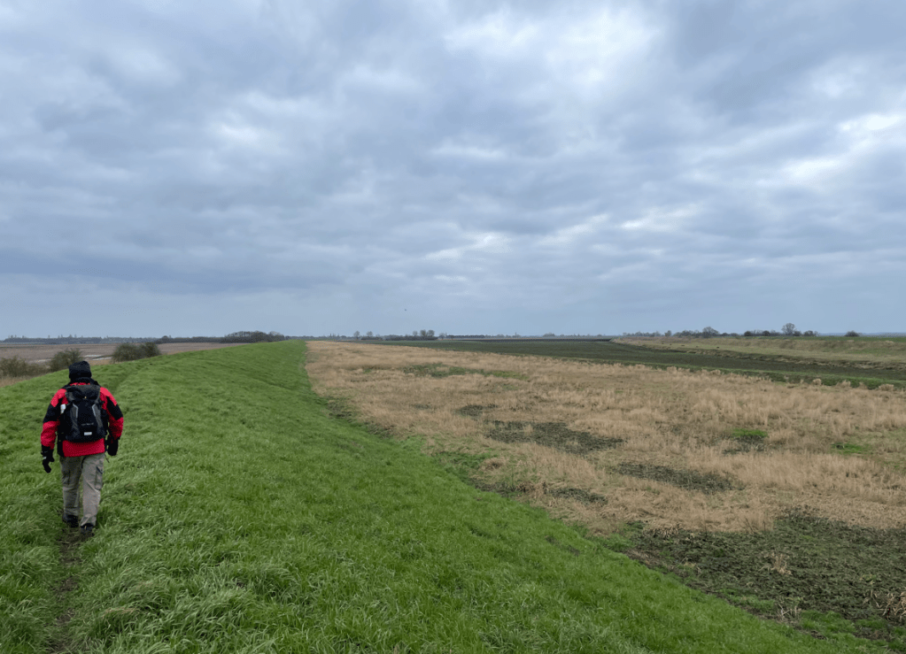
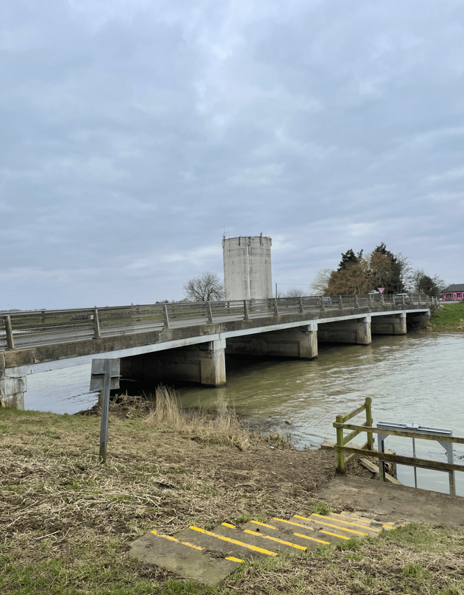
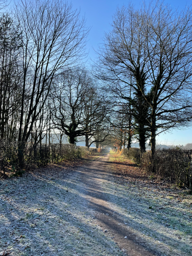
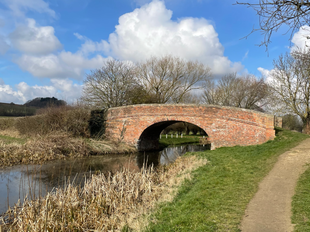
We enjoyed a very peaceful walk along the towpath (meeting nobody) eventually reaching Denton Bridge.
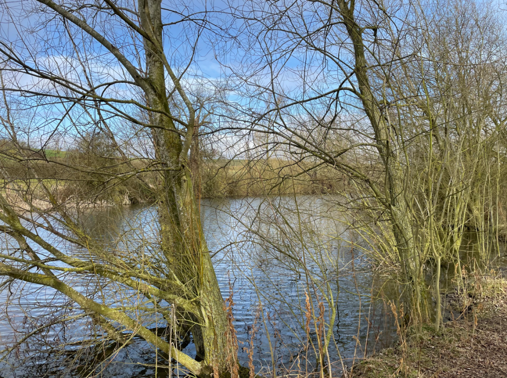
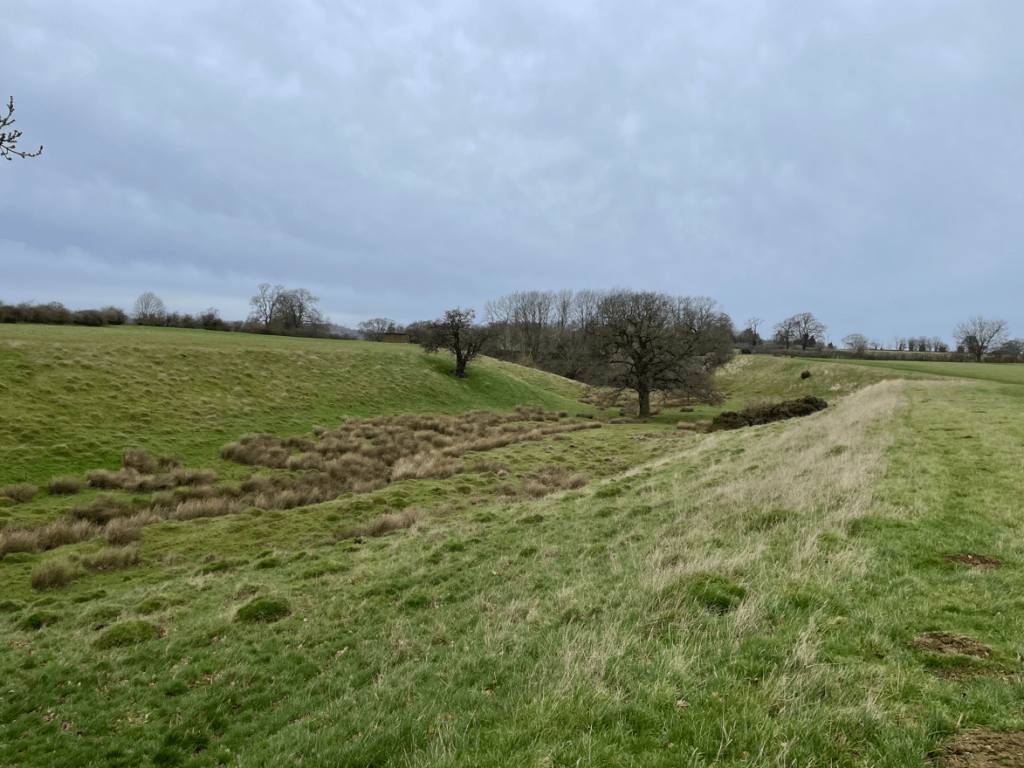
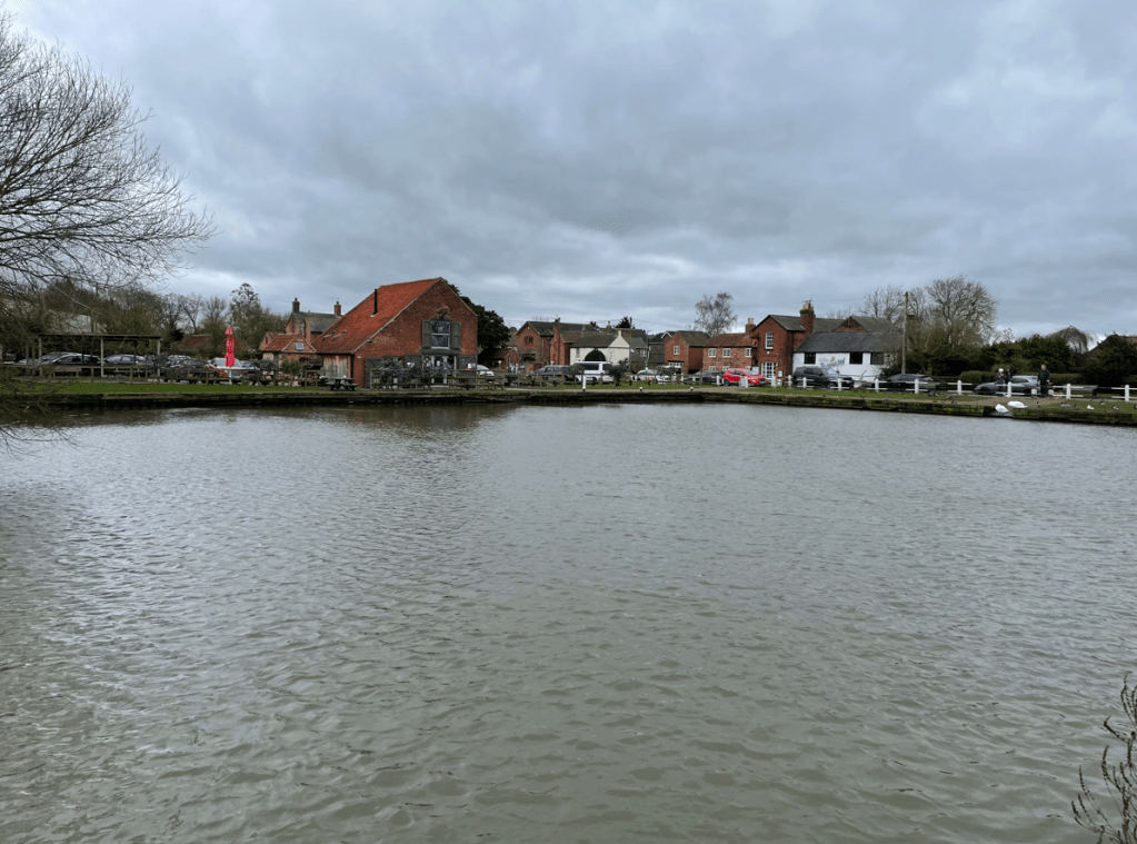
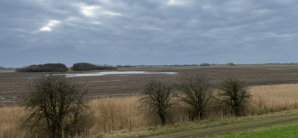
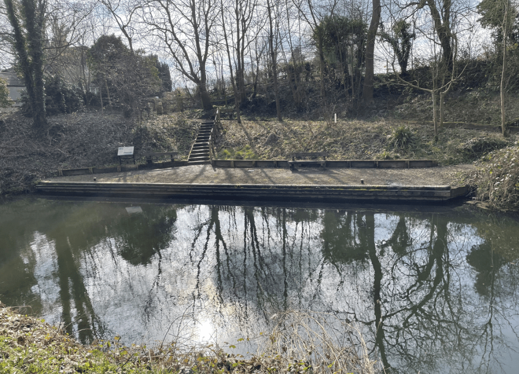
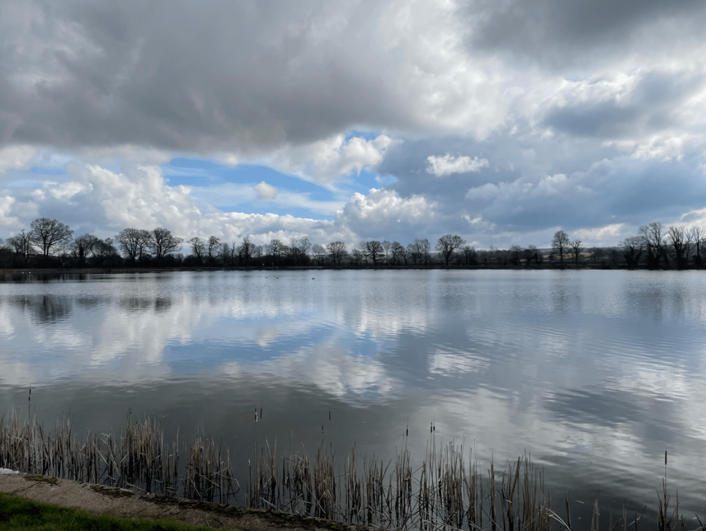
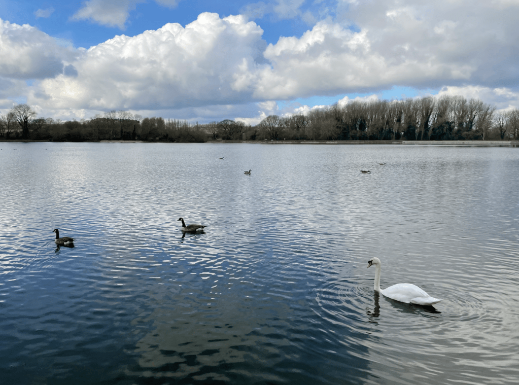
We crossed the bridge and took tracks / road to reach Denton reservoir. This reservoir was built specifically to supply water to the canal and its a lovely spot to sit and contemplate. We took another break here sat close to the water admiring the swans and geese. The clouds were gathering.
We took a walk around the perimeter of the reservoir and took a track leading back to Denton village. We had thoroughly enjoyed the walk. My favourite bit was the placid horses.
Happy Walking! 😊🚶