Hello and welcome back to my blog 😊.
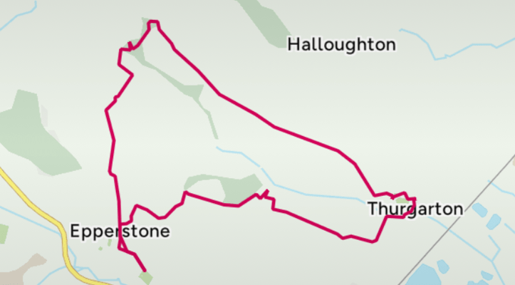
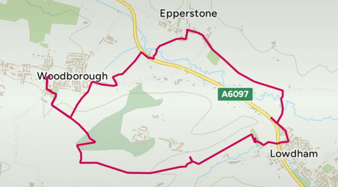
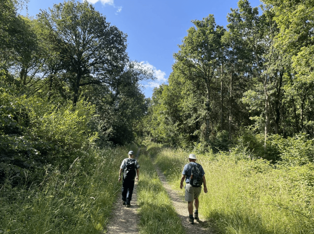
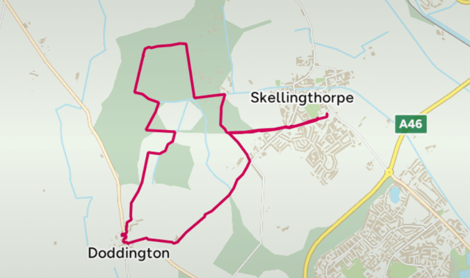
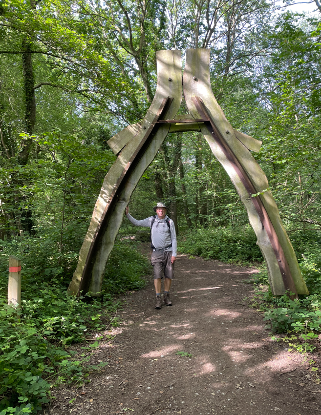
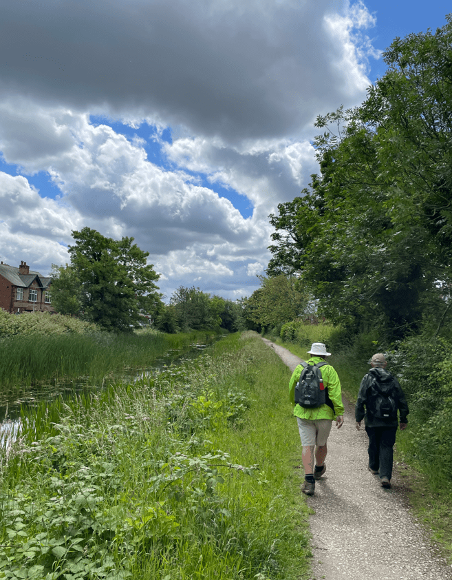
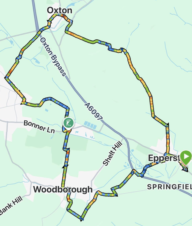
Today, Mick and I returned to Nottinghamshire enjoying a 9-mile circular village walk from Epperstone to Woodborough, Calverton and Oxton.
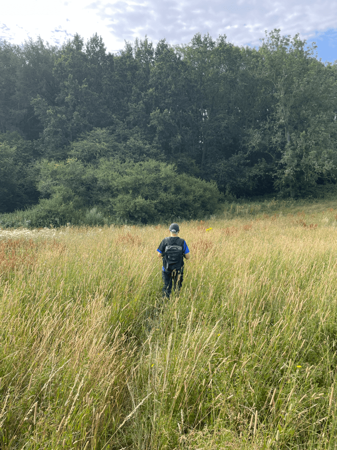
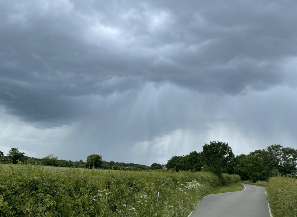
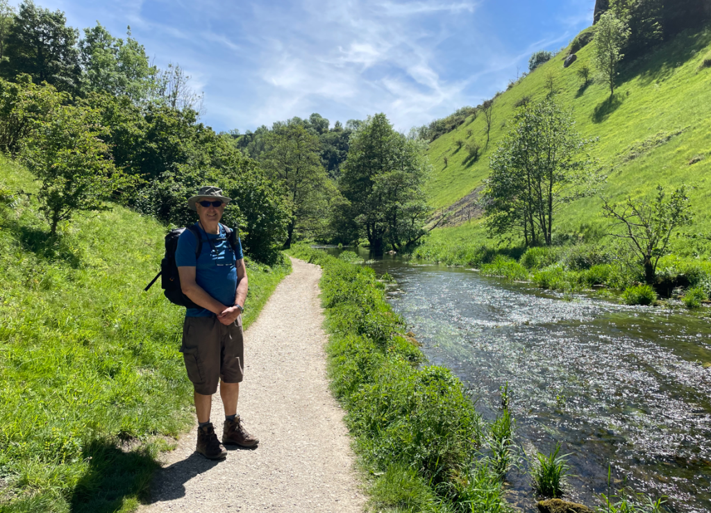
This was our third consecutive walk in this area as we explore the many footpaths it has to offer. It won’t come as a surprise if I tell you it was another blisteringly hot morning. – the 4th consecutive heatwave of the summer is peaking today.
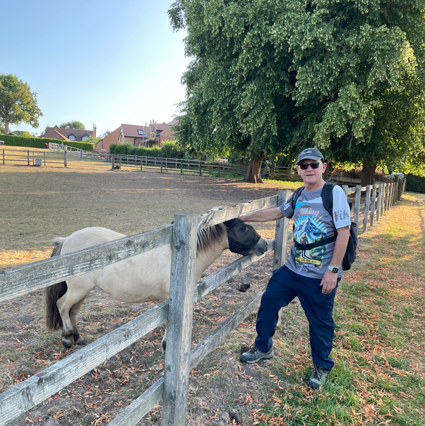
We parked in the excellent car park at Epperstone village hall and set off on our walk. One of the unusual aspects of this walk turned out to be the number of times the footpath took us through peoples properties and almost as soon as we were leaving Epperstone we passed along such a path. Mick stopped and said hello to a tiny Shetland pony in an adjacent field.
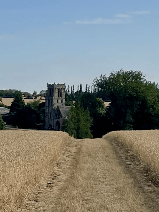
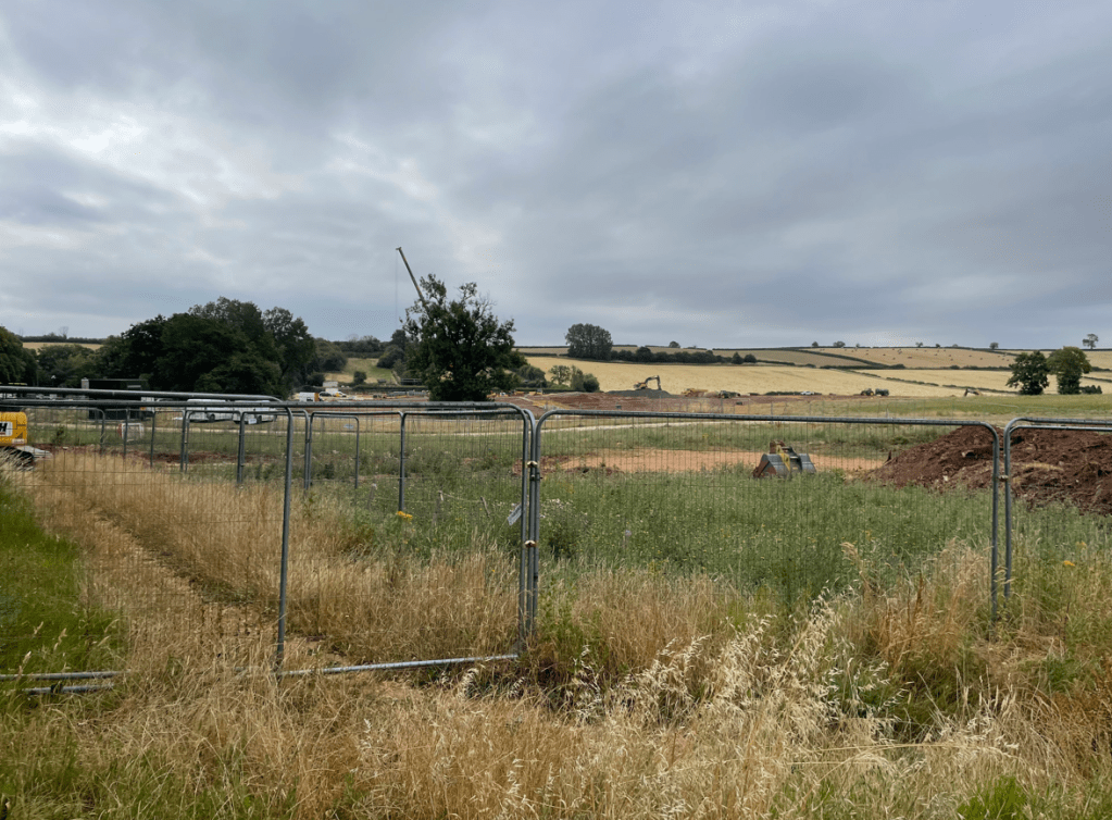
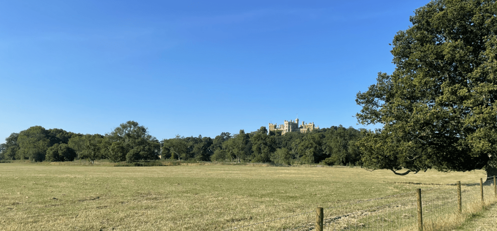
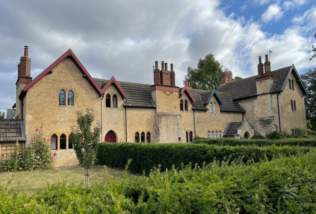
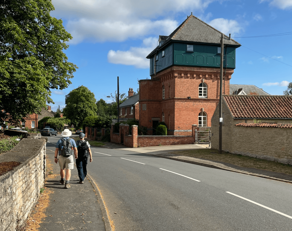
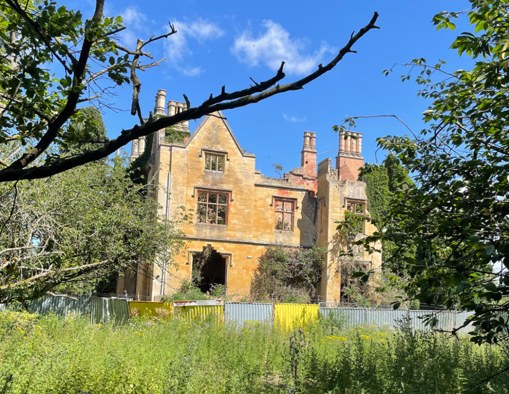
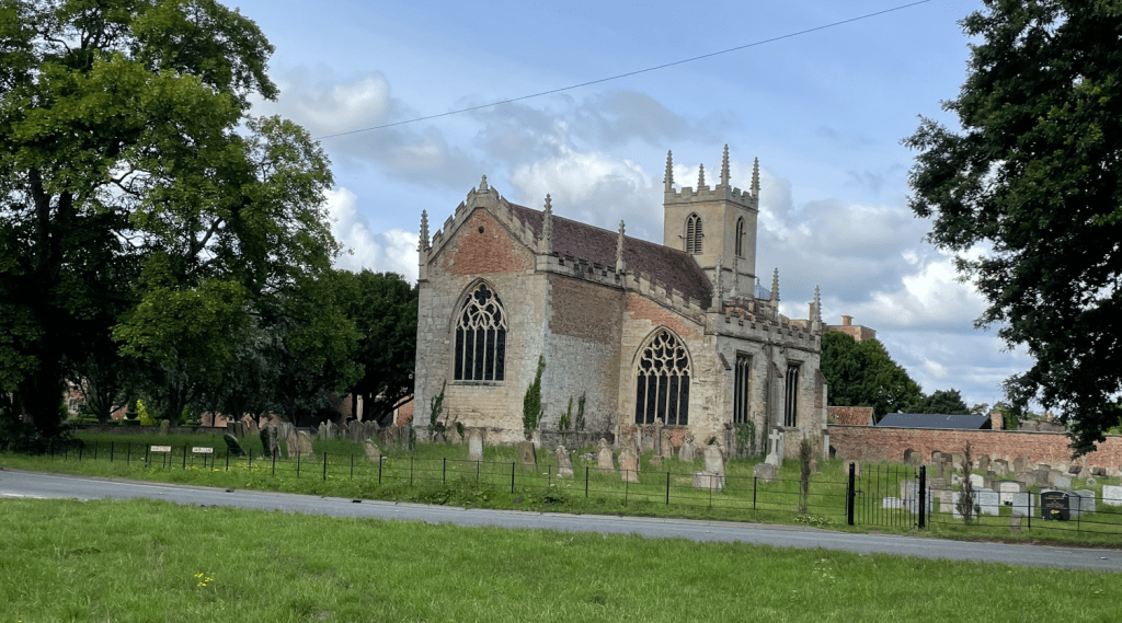
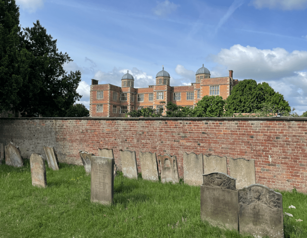
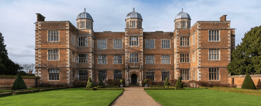
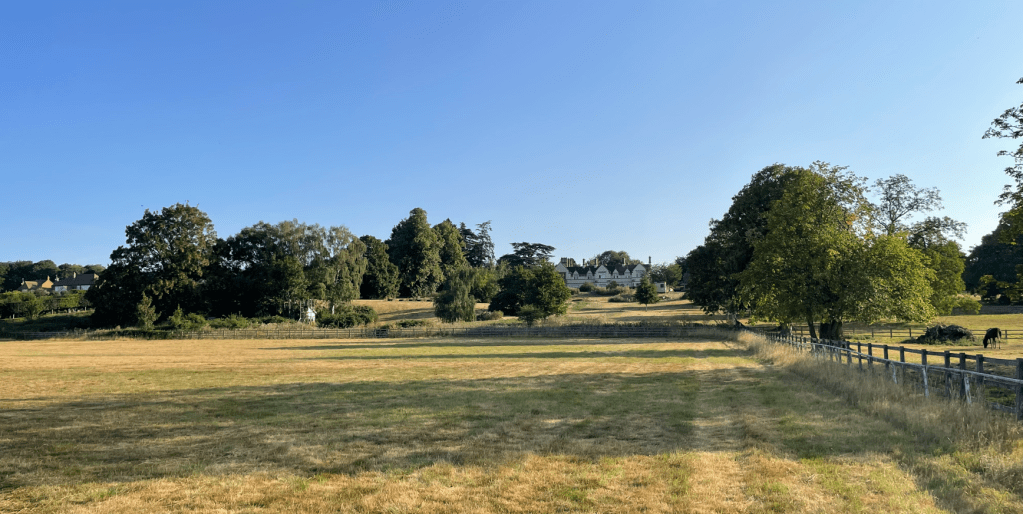
Entering a field we saw a large property in the distance and wondered if it was of significance.
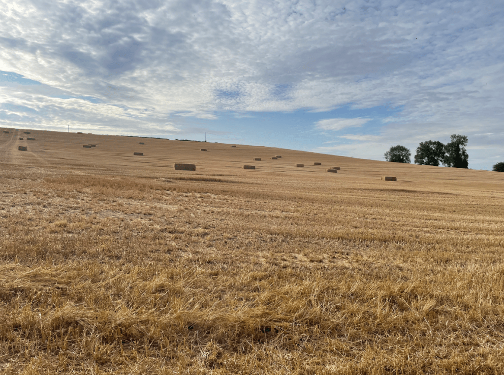
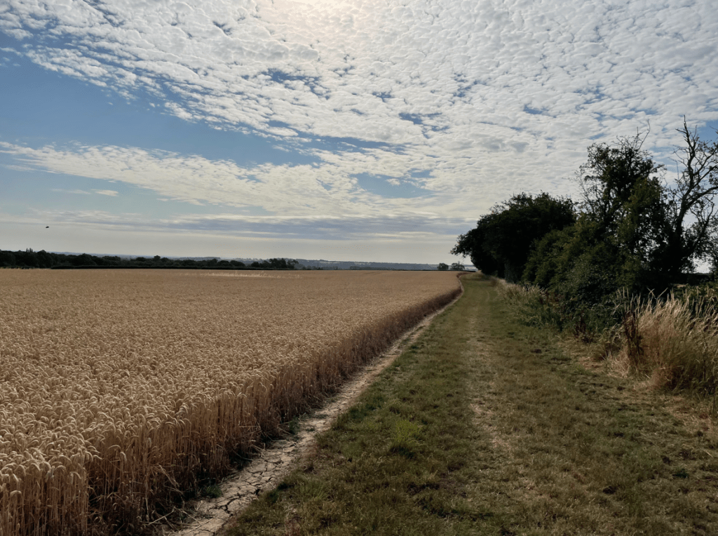
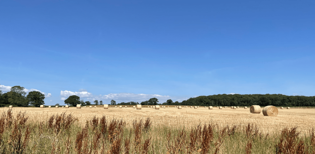
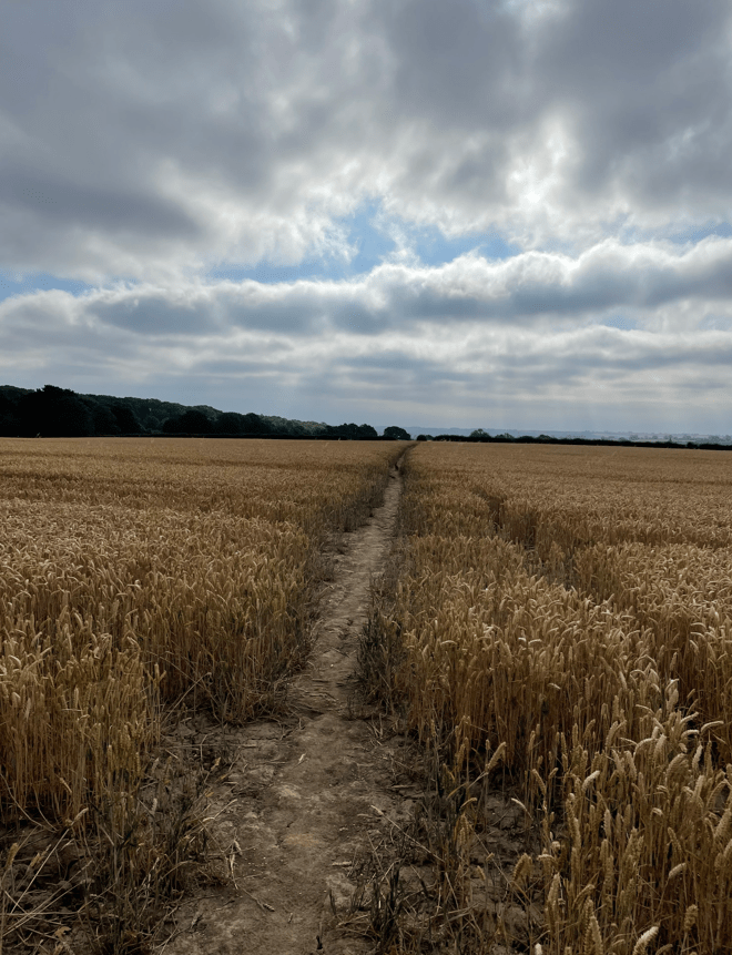
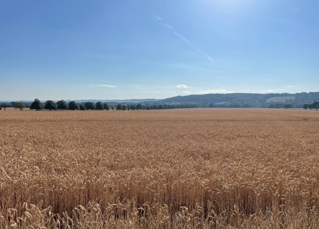
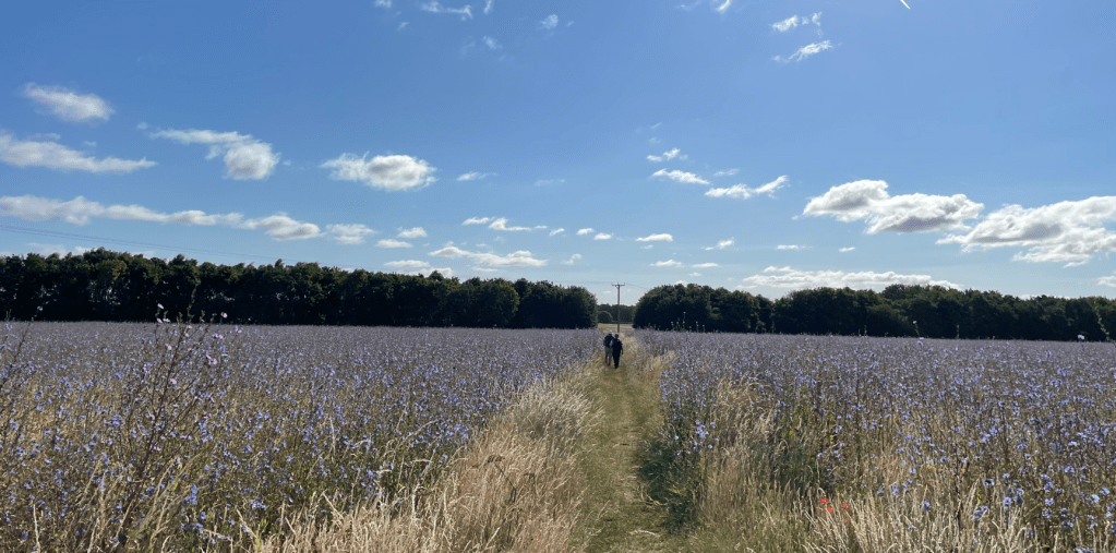
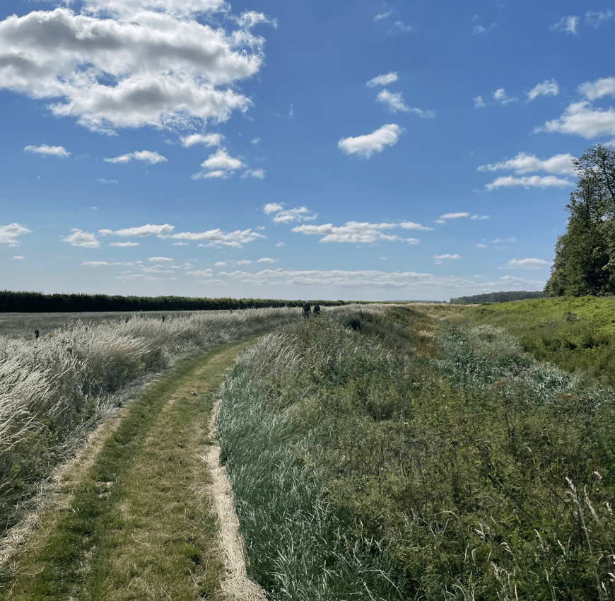
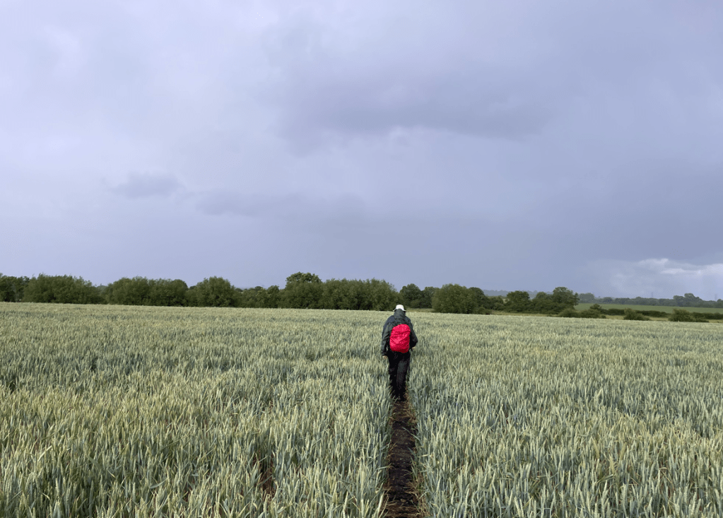
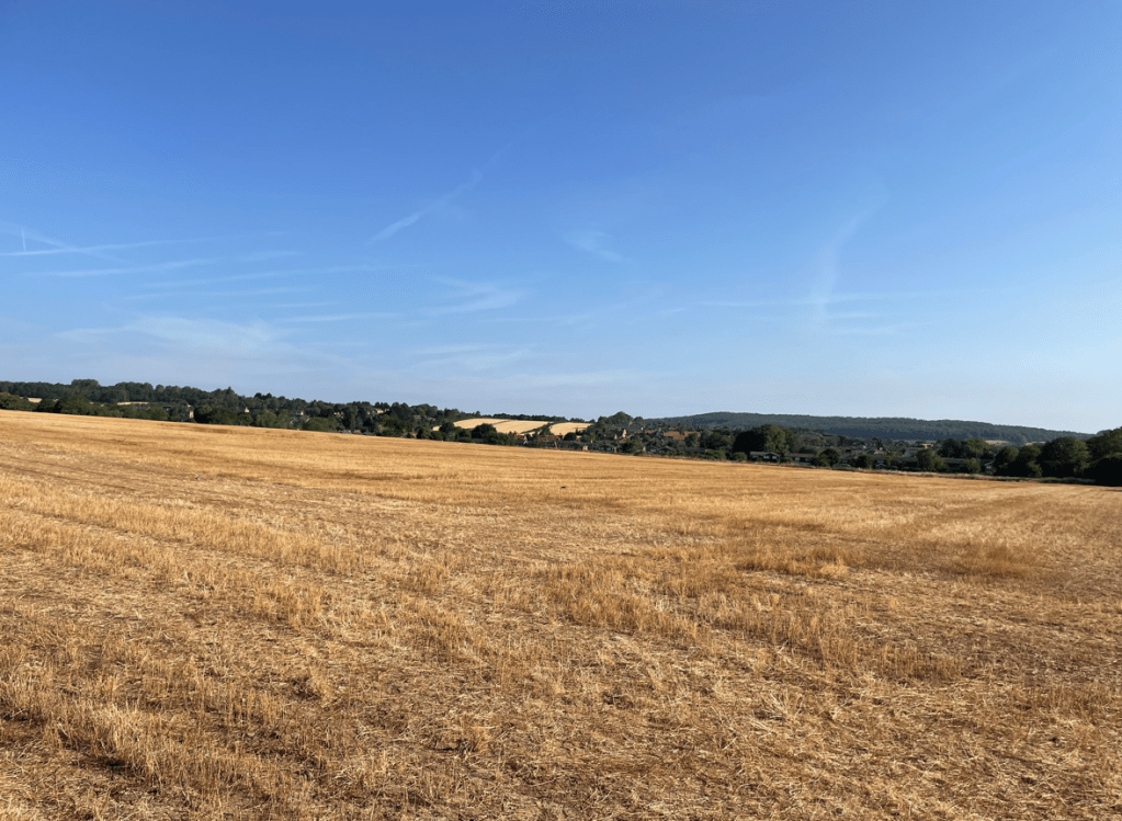
As we made our way to Woodborough the parched land was self evident. I wondered whether it will rain at all next month.
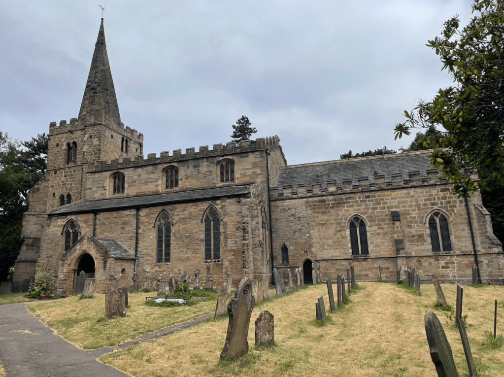
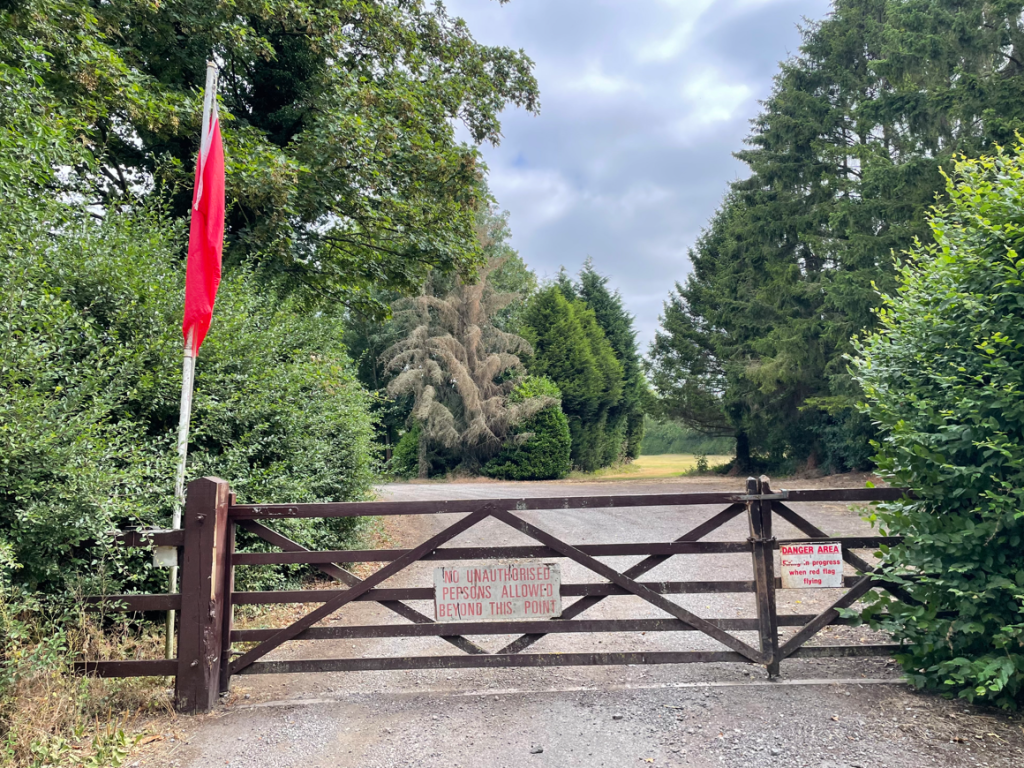
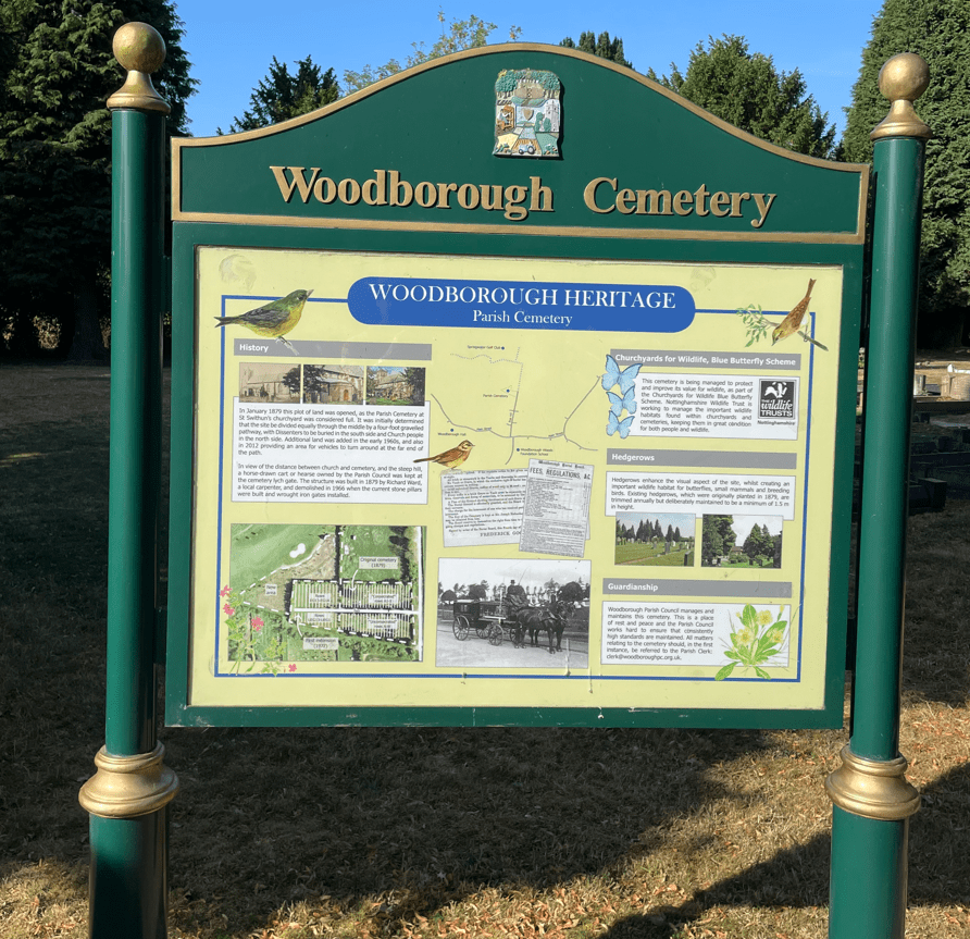
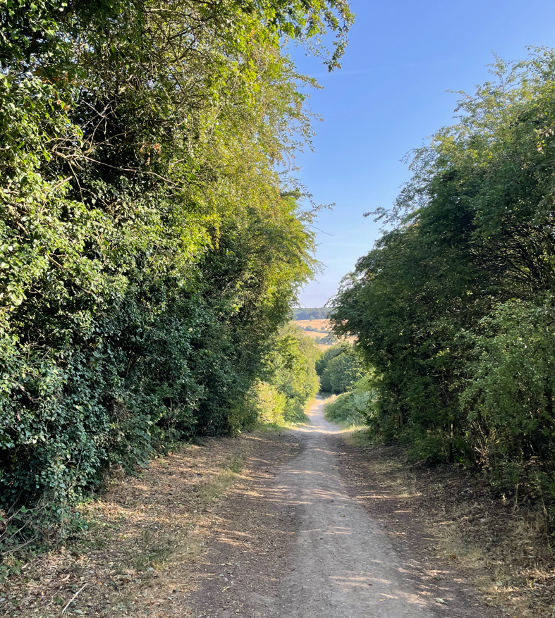
As we passed through Woodborough some of the route was familiar from a previous walk but then it took us through a narrow path close to allotments and then through someone’s back garden. I wasn’t expecting that! Leaving Woodborough we followed a road uphill out of the village passing the cemetery on the way. The road soon turned into a track.
Eventually, we were at the top and then started our descent towards Calverton.
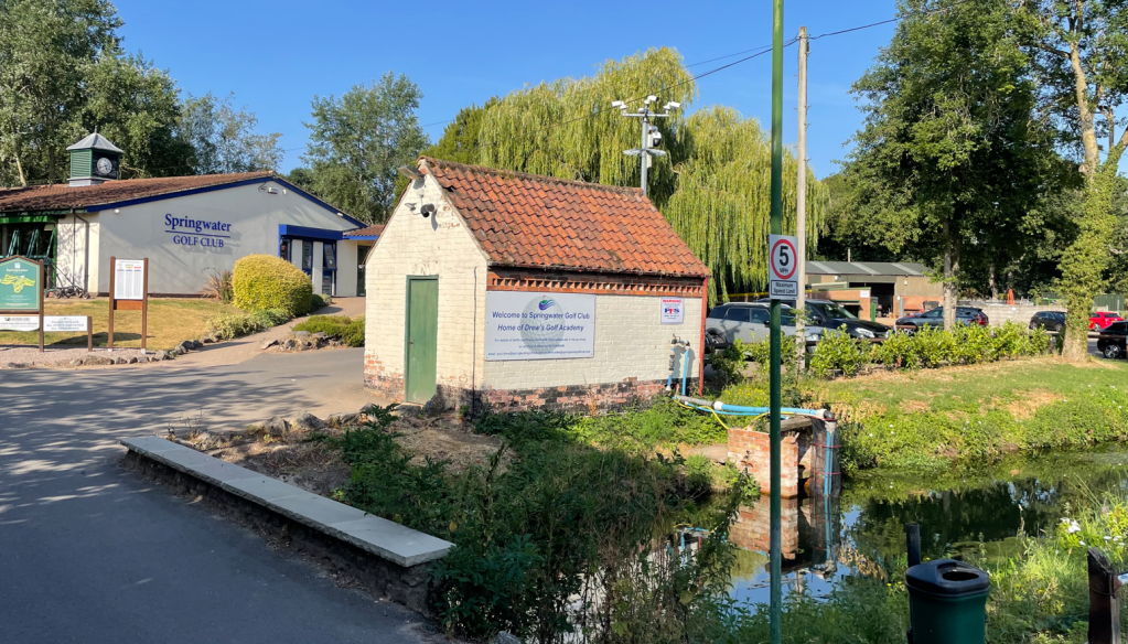
We passed the grounds and club house of Springwater Golf Club – it looked a nice place.
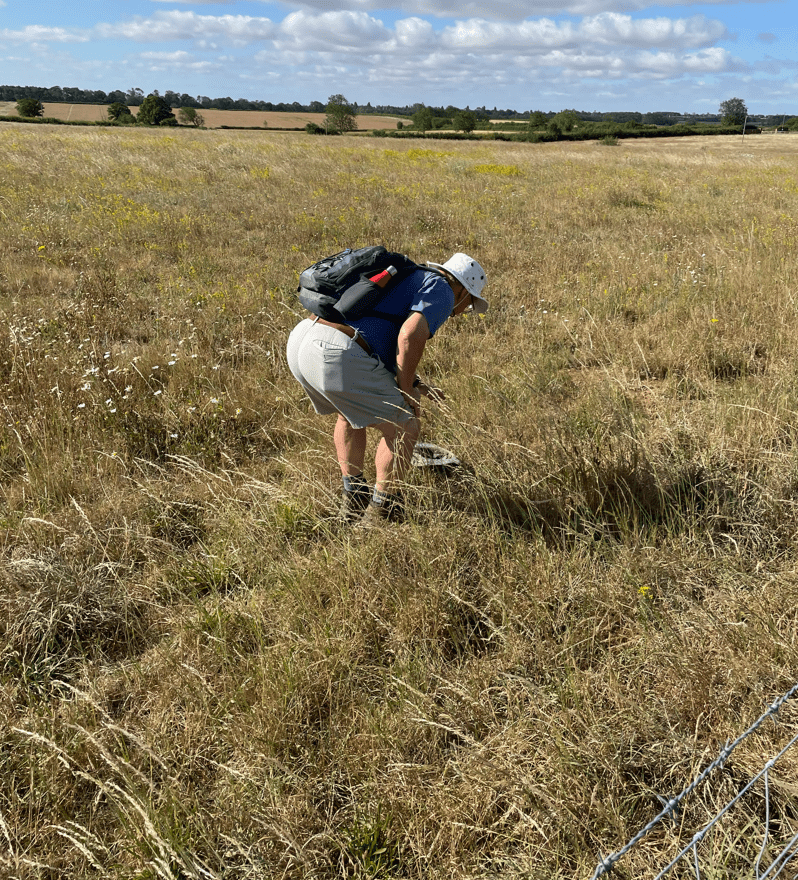
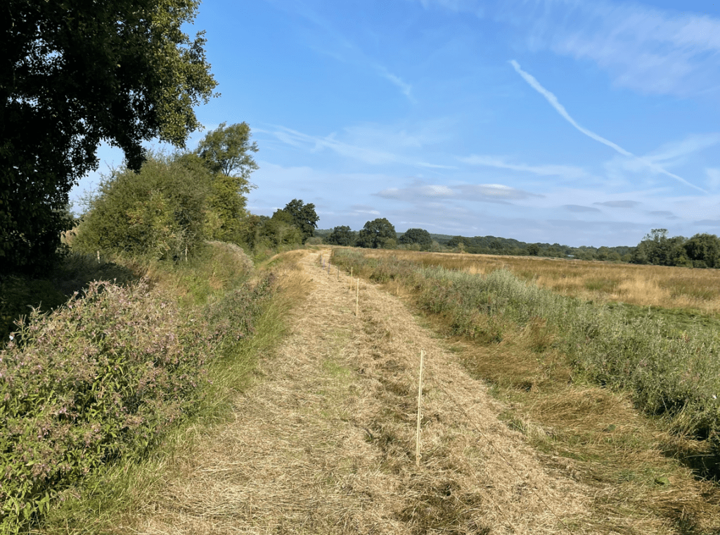
Continuing through fields, one was particularly hard going because the grass had recently been cut and still lay on the ground. Strangely, it almost felt like walking on a sandy beach. Was I hallucinating due to the the sun?
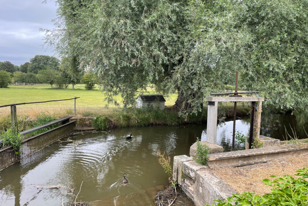
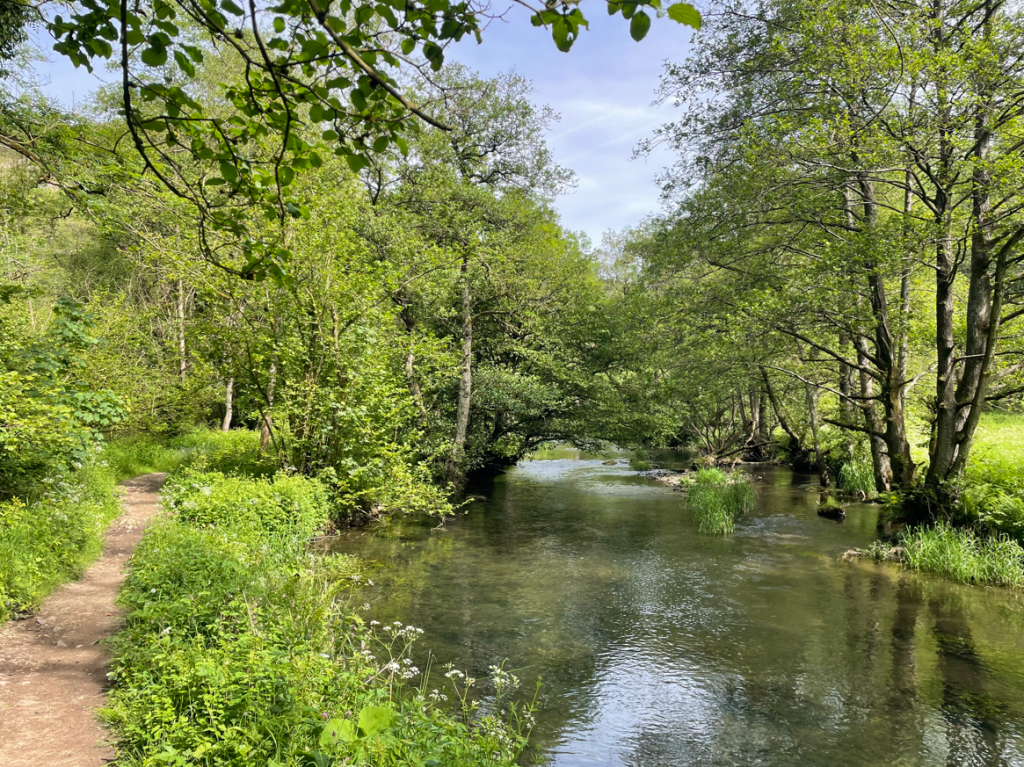
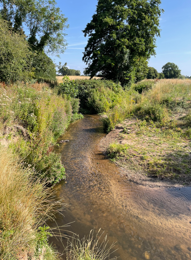
We passed an actual stream with running water, which is a very rare sight indeed this summer. This was Dover Beck.
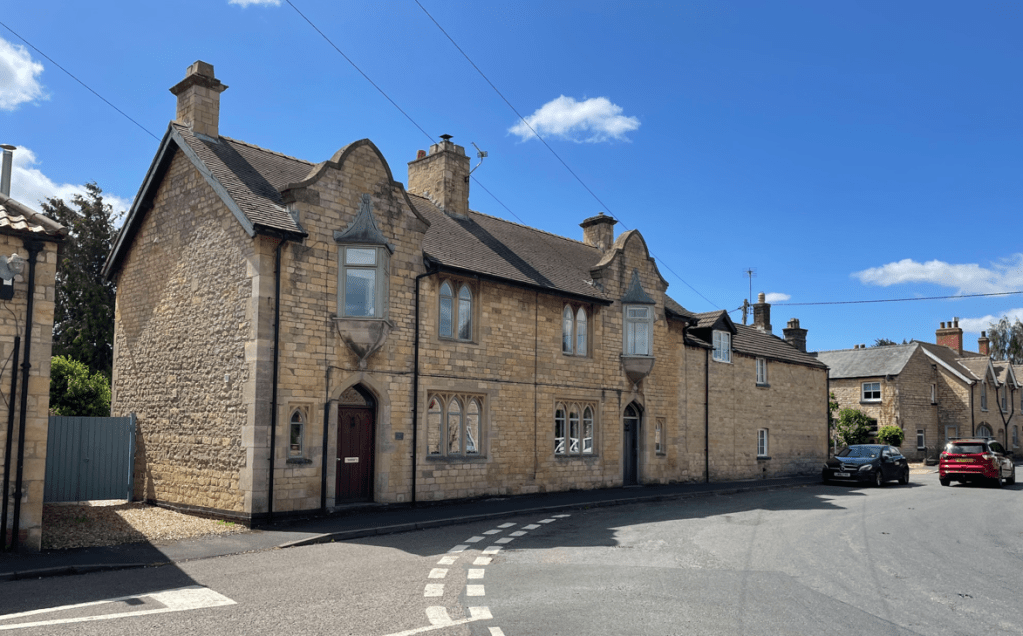
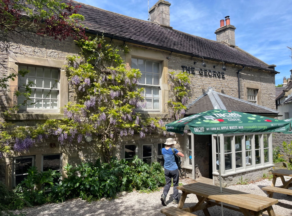
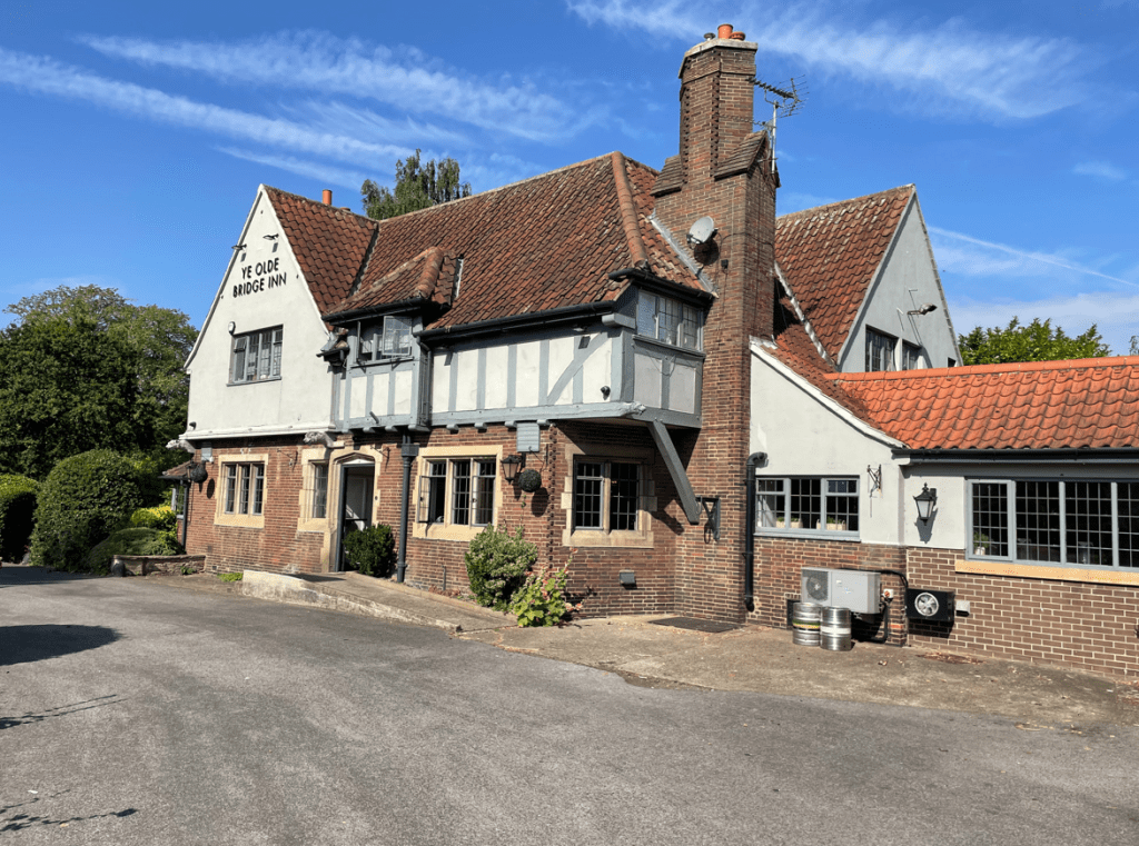
We were now on our way to Oxton and as we entered the village we passed a nice looking pub.
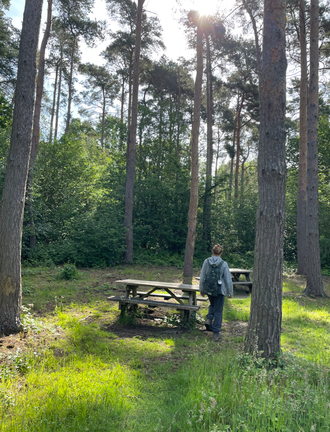
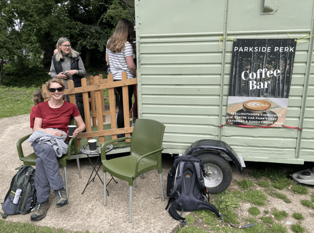
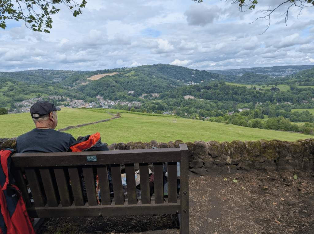
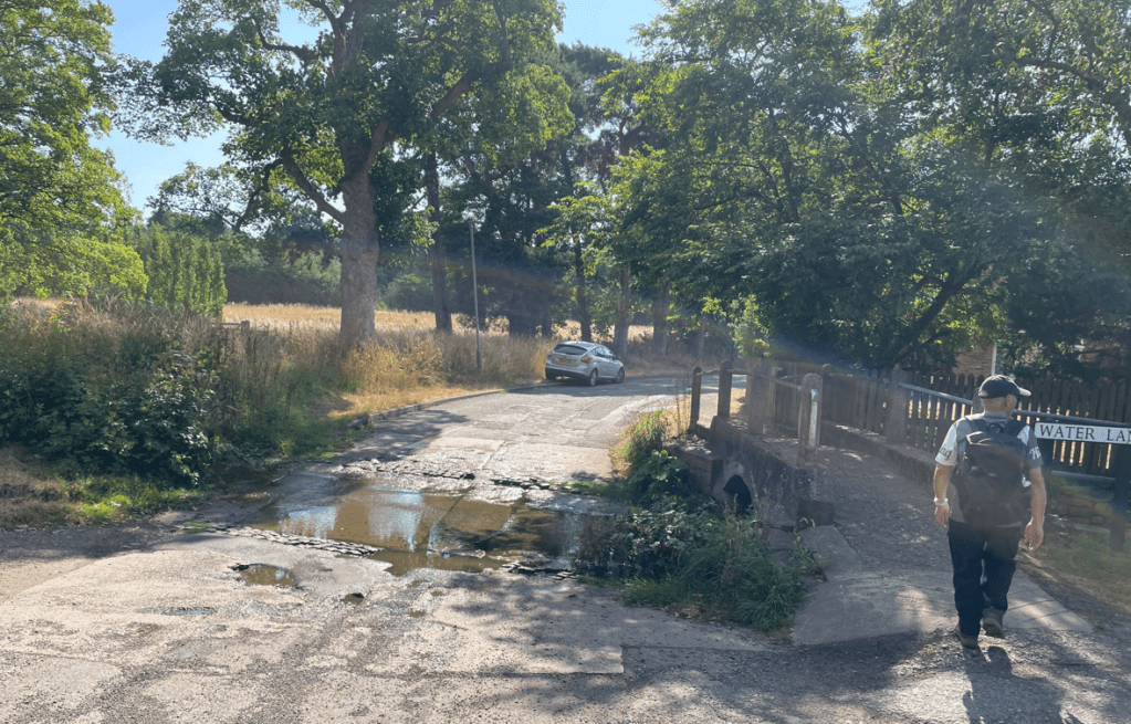
Shortly after, we found a bench and took a well deserved break. I enjoyed a cold drink, courtesy of my insulated ice-pack and my scotch egg went down a treat. After walking through the village we crossed a Ford – it was good to see that it had some water in it.
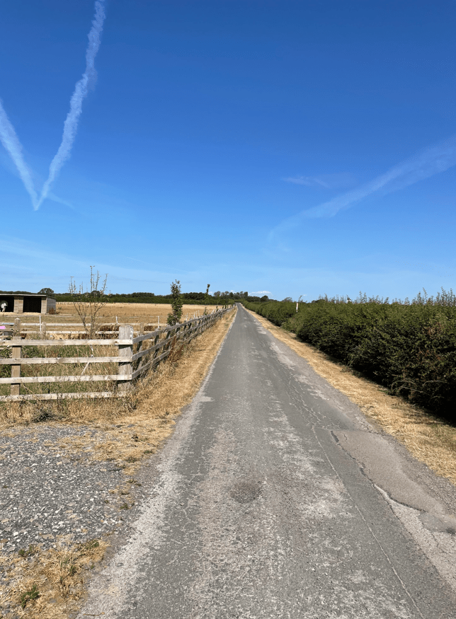
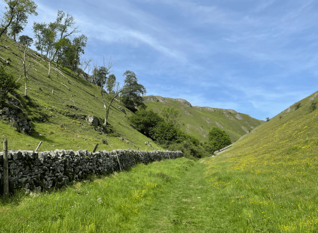
Leaving Oxton we headed uphill on a tarmac lane. We said if Chris was with us he would run up this hill. We had a steady walk up and were pleased to reach the top.
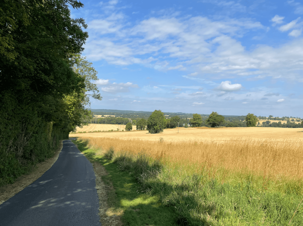
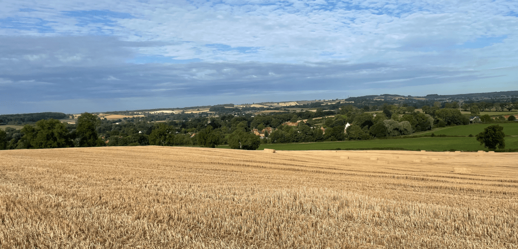
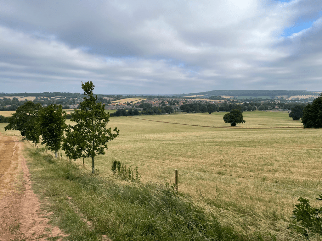
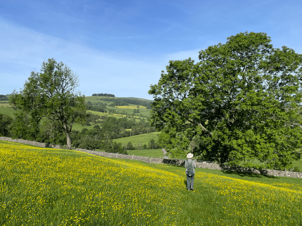
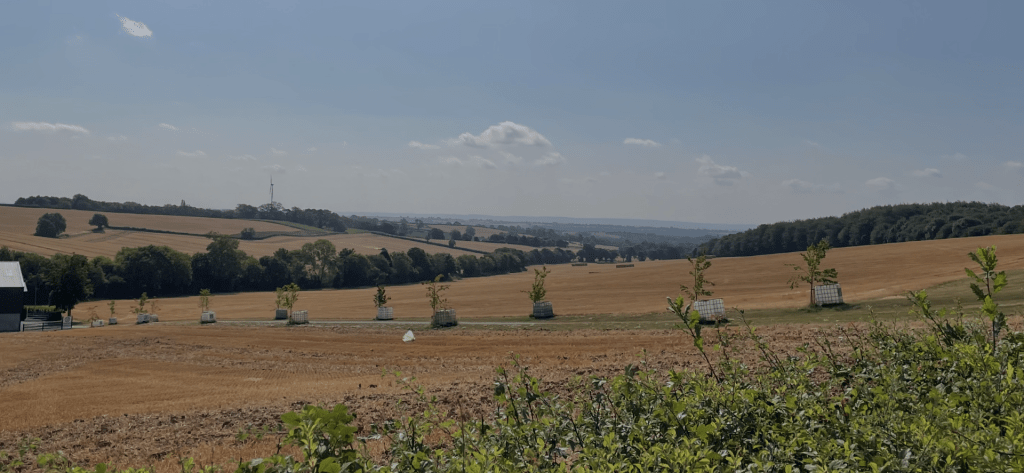
At the top we had nice views across the fields.
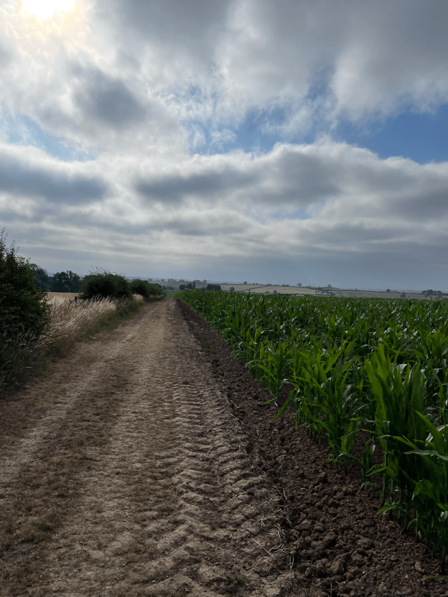
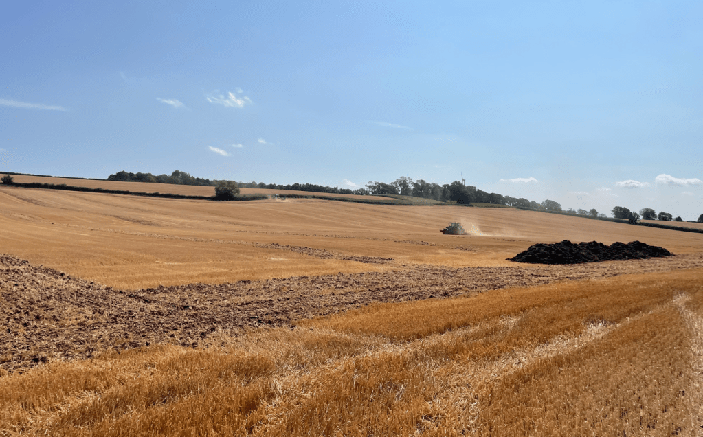
We walked down through a farm yard and through another front garden to reach a stone track which would bring us back to Epperstone. Tractors were ploughing in the fields.
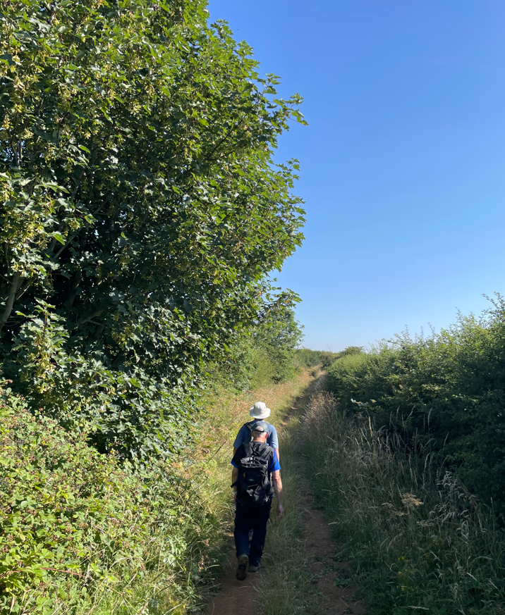
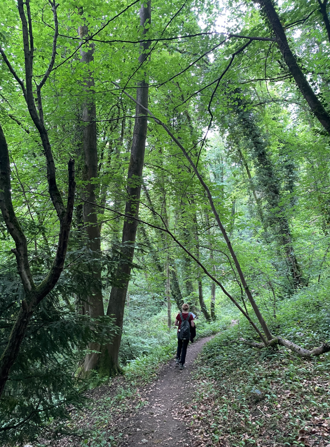
It was certainly getting hot at this stage. At the end of the track we passed through a front garden to reach the road back into Epperstone. We were pleased to reach the shade under the trees.
It had been a good undulating walk, it would had been nicer if it wasn’t quite so hot.
Happy Walking! 😊🚶