Skip to content

My Walking Journeys

  • A Scenic 9-Mile Walk Through Lincolnshire’s Landscape

    May 8th, 2025

    Hello and welcome back to my blog 😊.

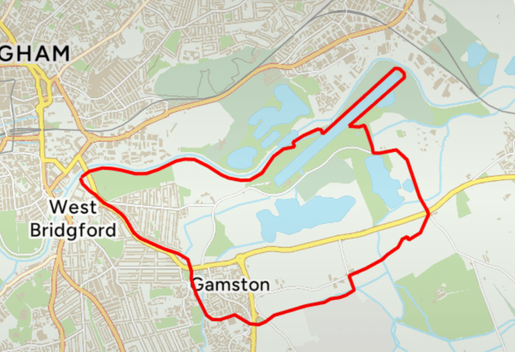
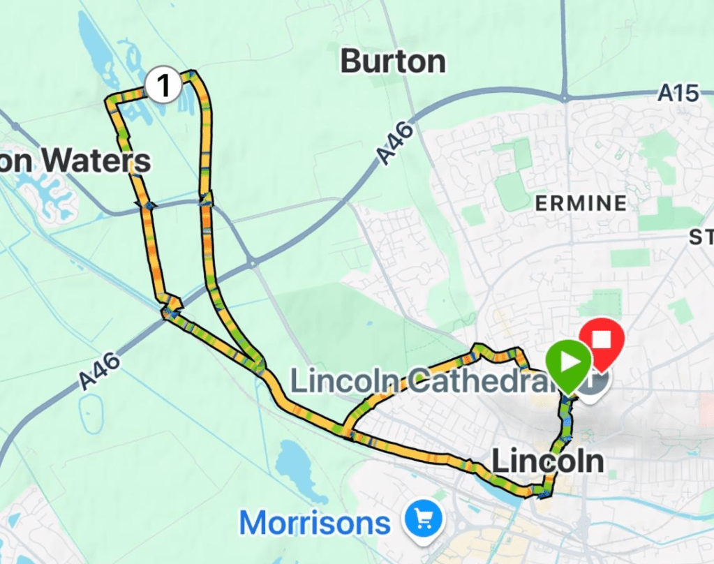
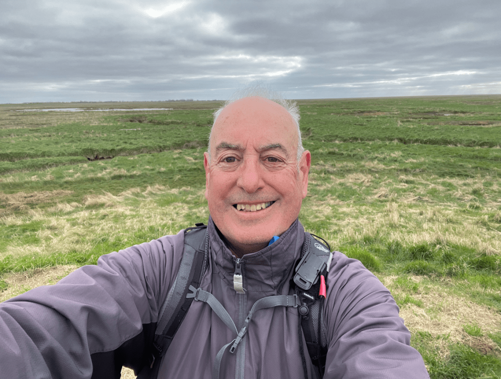
    This morning myself and Angela enjoyed a 9-mile circular walk starting in the Lincolnshire village of Southrey and visiting Bardney and Tupholme Abbey. It was a grey and chilly start to the day.

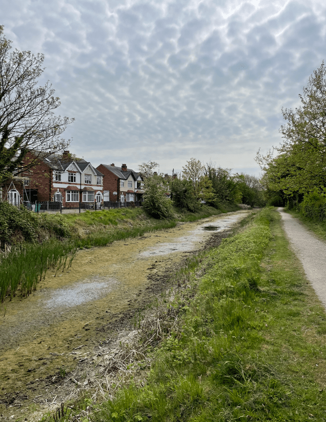
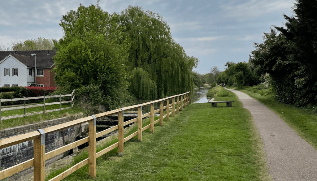
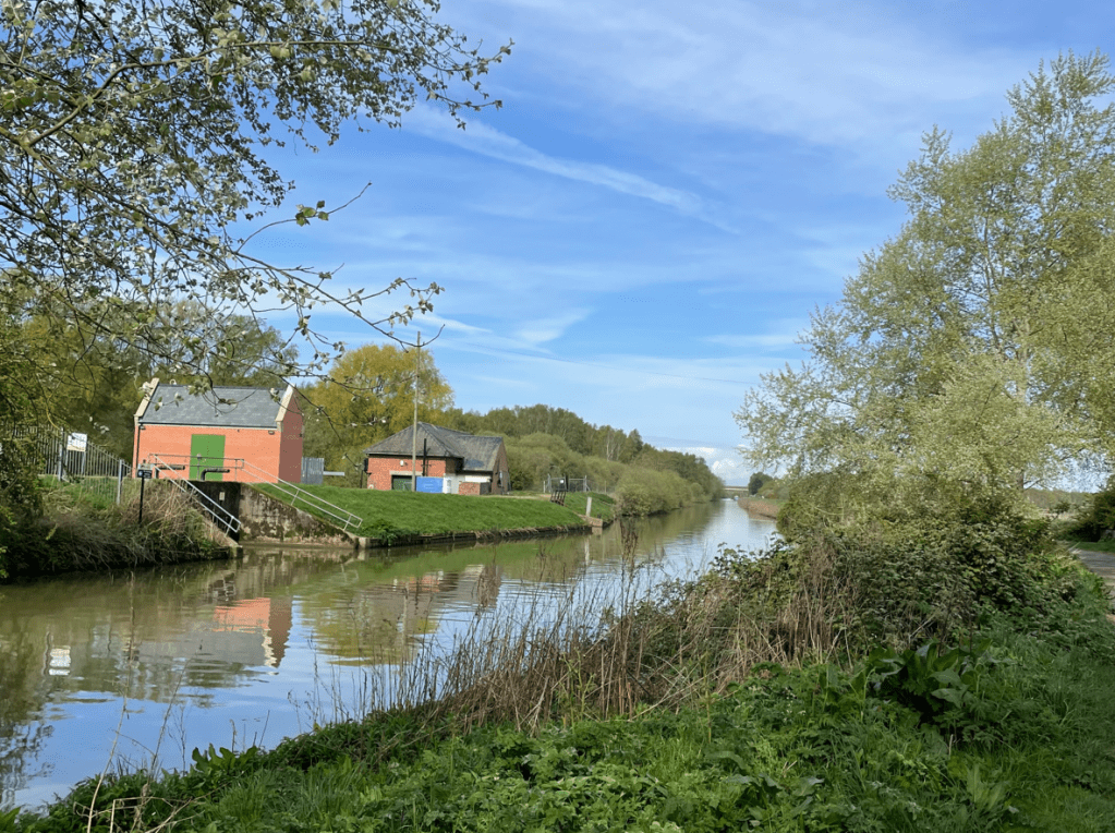
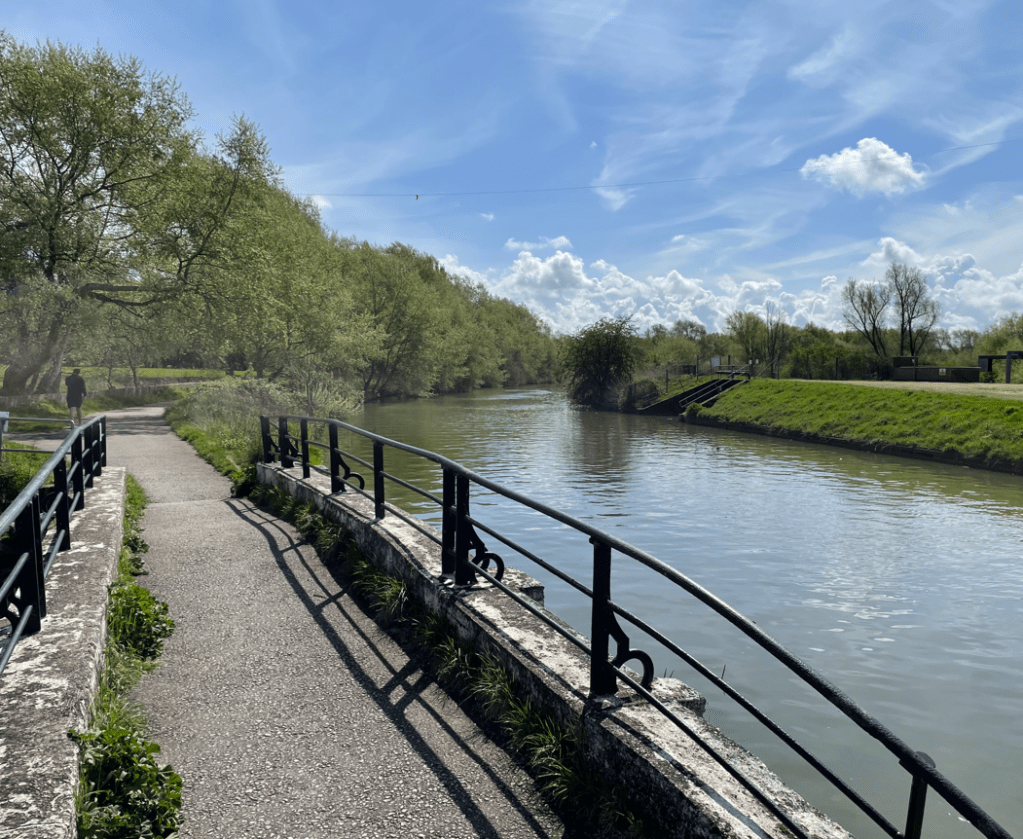
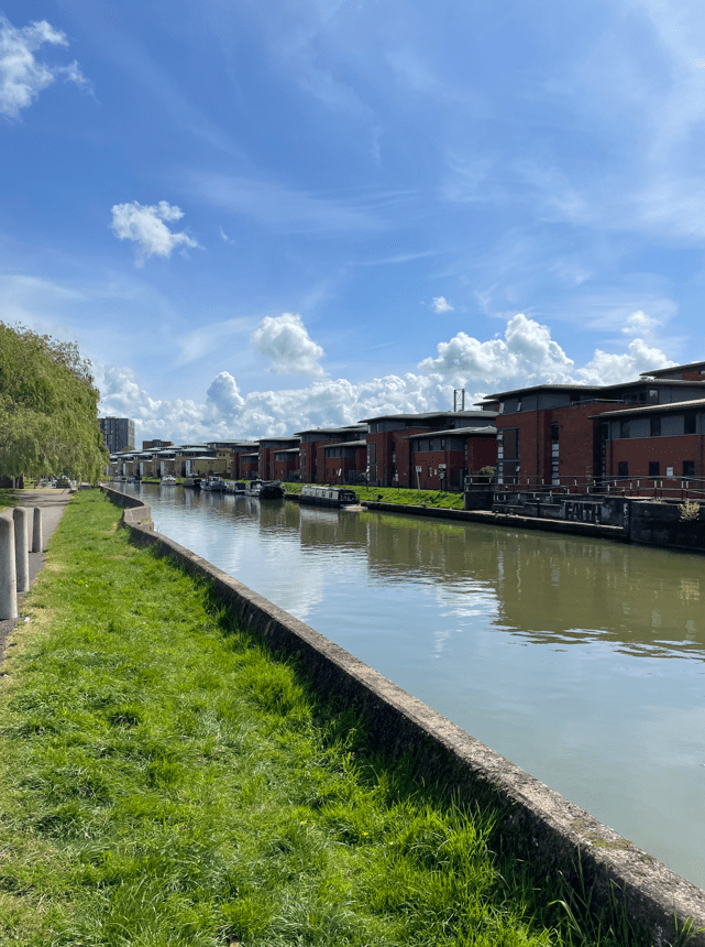
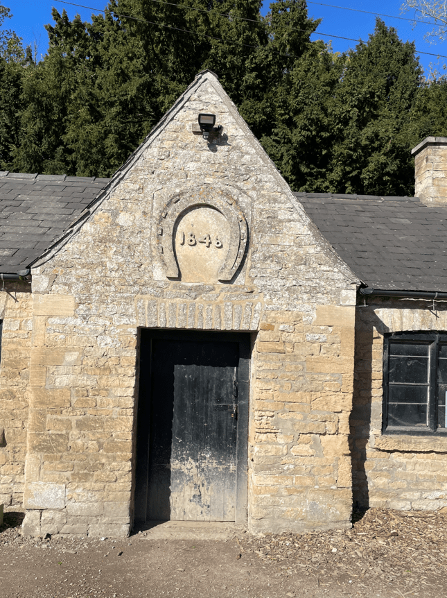
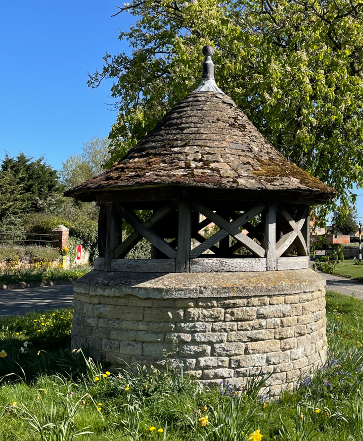
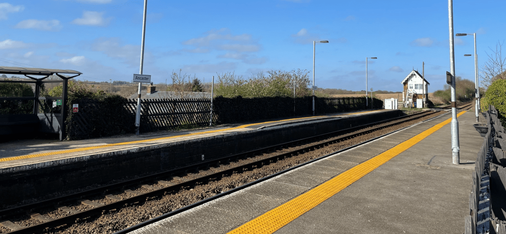
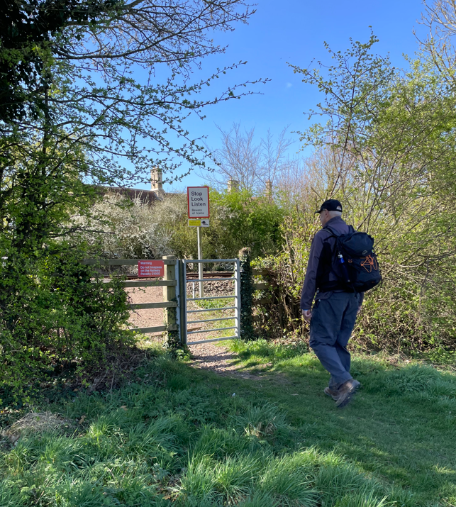
    We parked by the river Witham close to the site of the former Southrey station, adjacent to the ‘Riverside Inn’ pub.

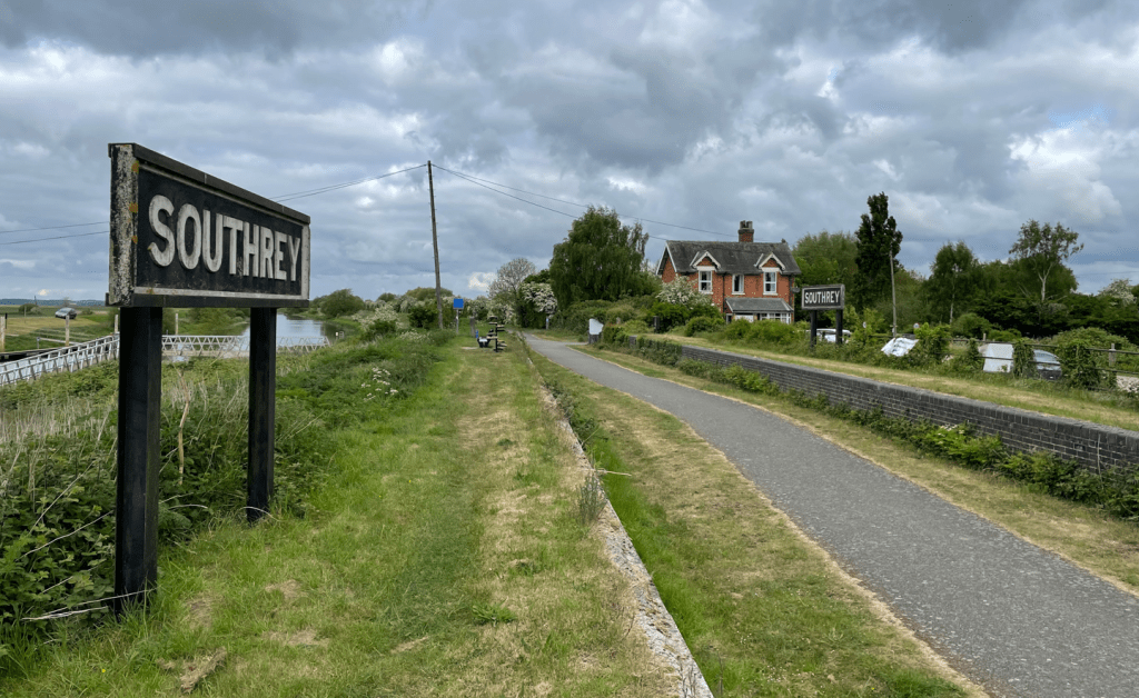
    The platforms and station signs still exist. The last passengers departed from this platform in 1970. Until then it had been possible to travel from this peaceful village to busy Kings Cross station in London in a little under 3 hrs.

    A chain ferry, operated by the landlord of the White Horse Inn at Dunston Fen on the opposite bank, carried passengers for the train across the river.

    The ferry provided a vital link for many other fenland inhabitants, including children attending Southrey village school and people on their way to work. The crossing took minutes compared to the journey by road over bridges. When not in use the chain lay on the river bed out of the way of passing boats. The ferry service ceased in the late 1970’s.

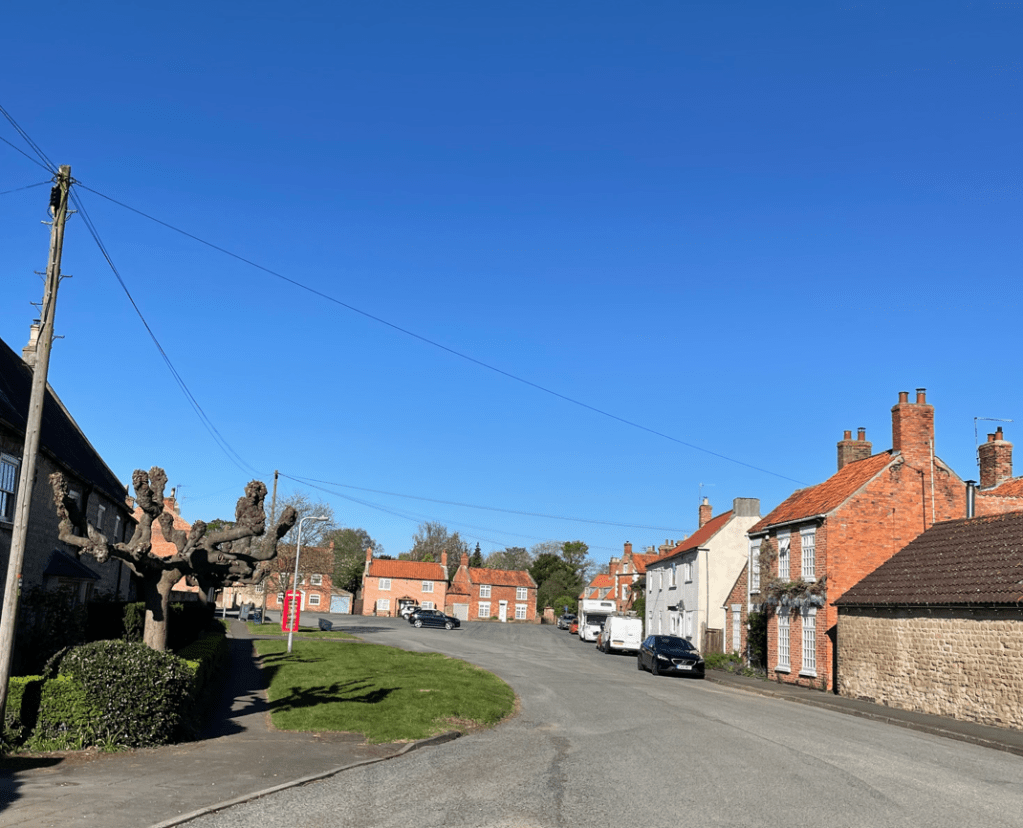
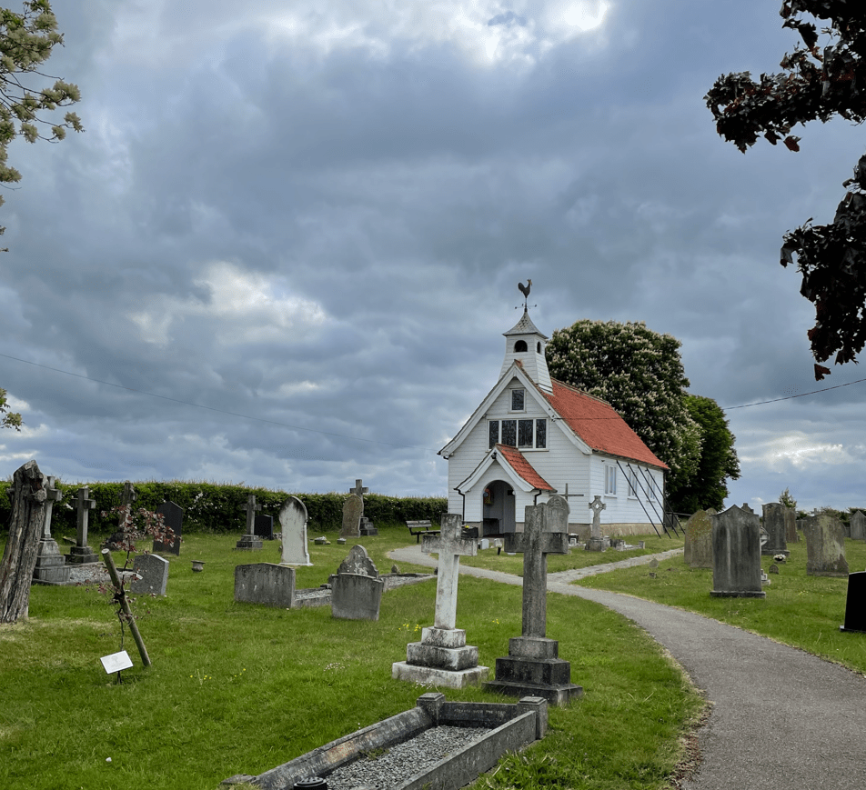
    We headed off through the village, passing the white-painted wooden church of St John the Divine – the church looked as if it belonged more to New England than the edge of the Lincolnshire fens. Its weather vane was quite prominent.

    St John the Divine church, Southrey

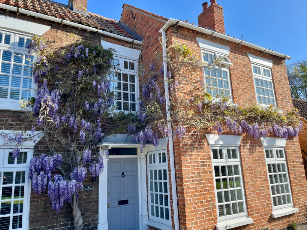
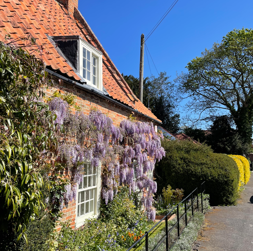
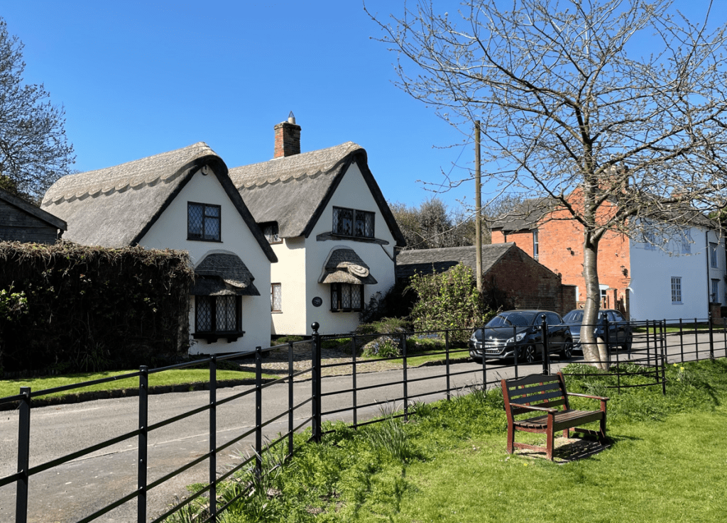
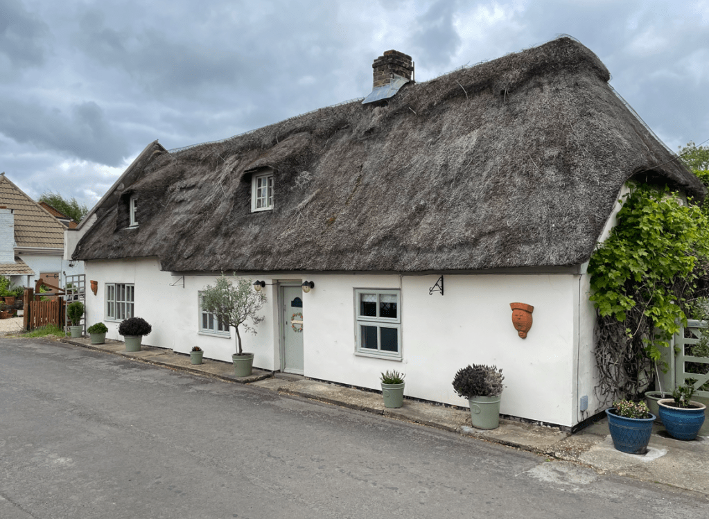
    We passed a lovely old thatched cottage.

    Thatched cottage in Southrey

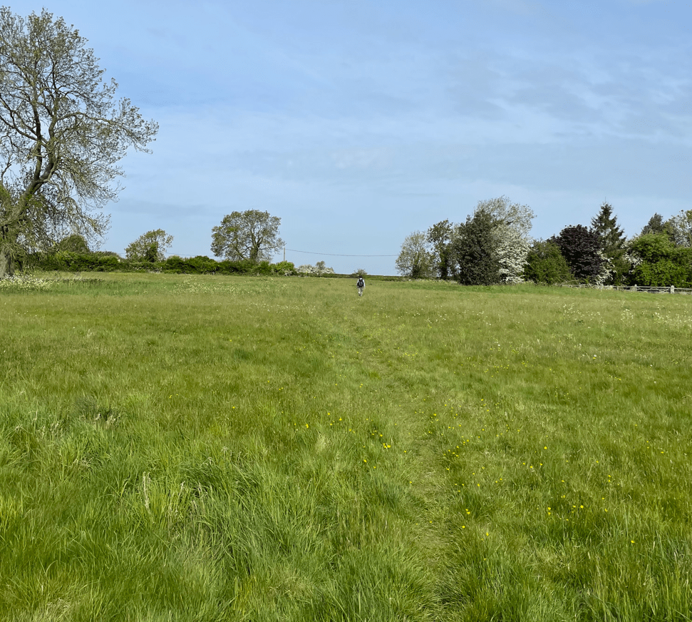
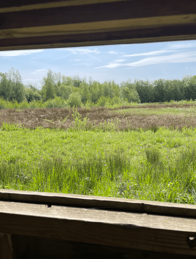
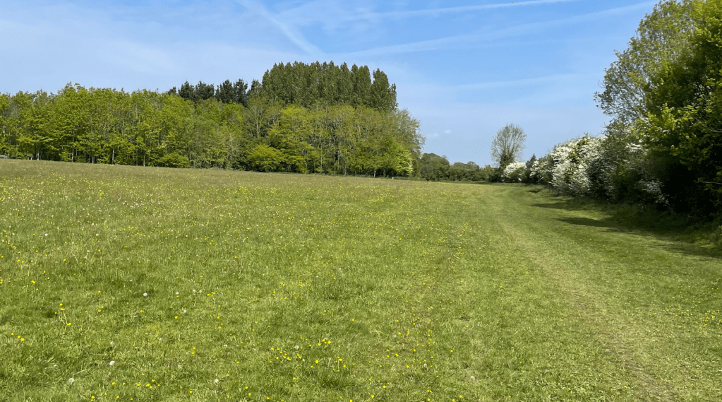
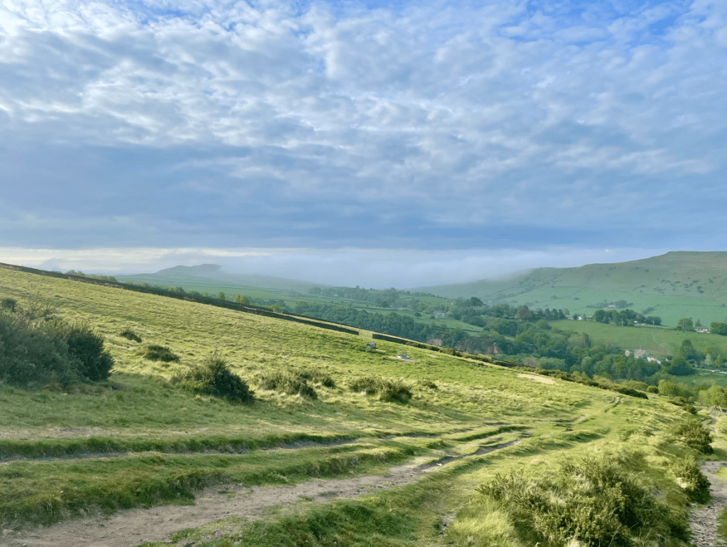
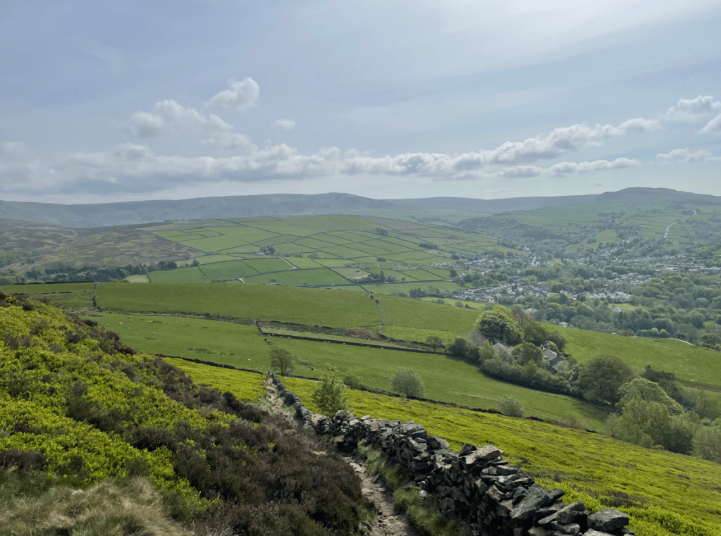
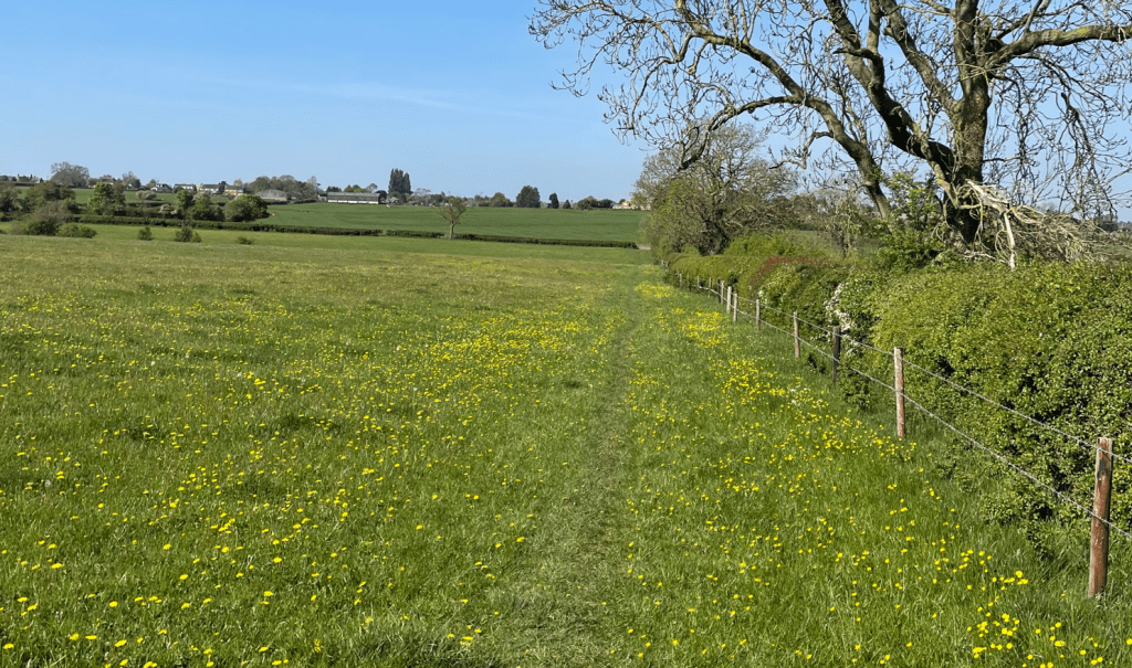
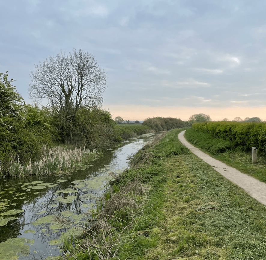
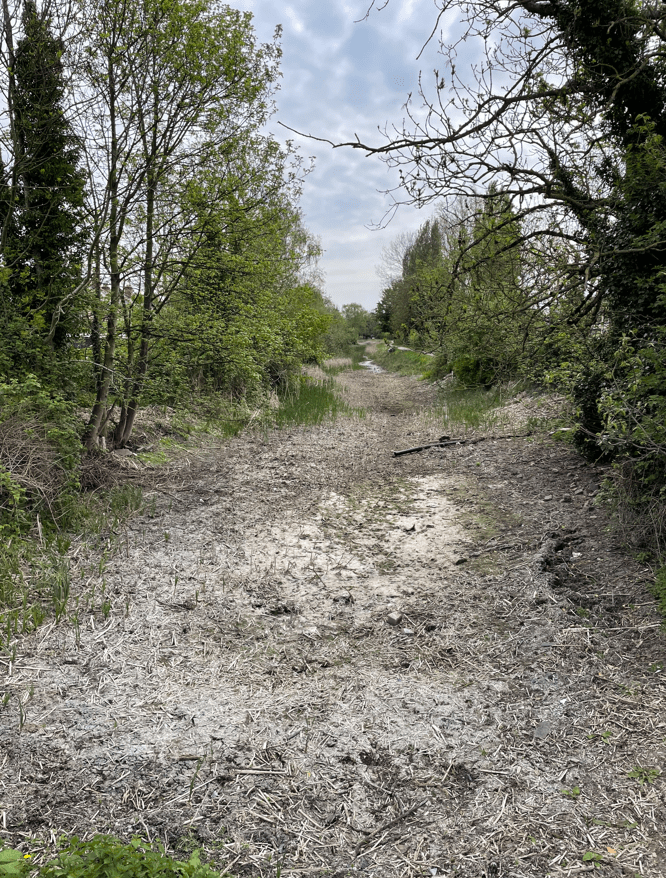
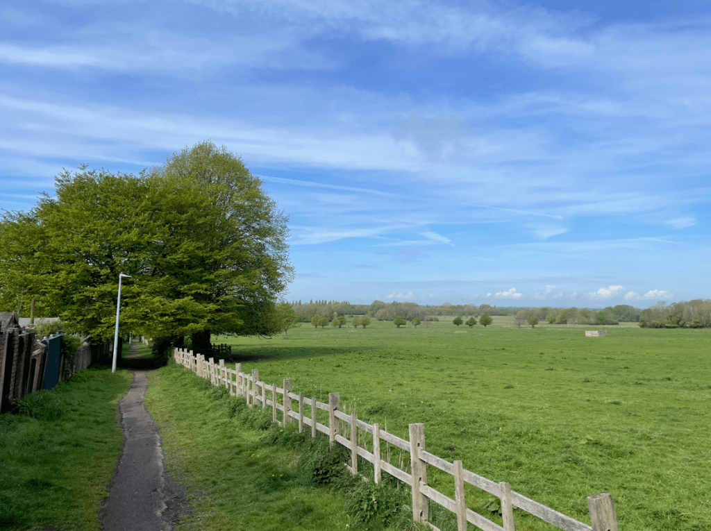
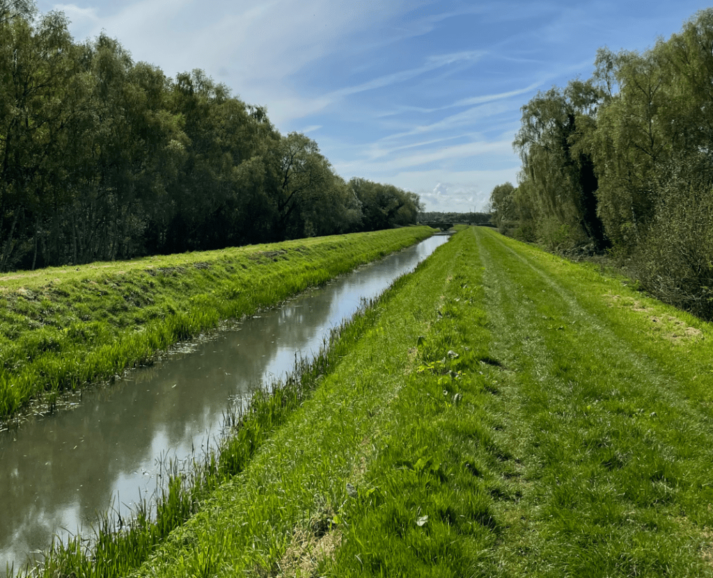
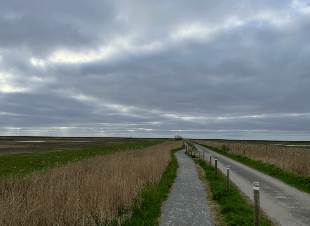
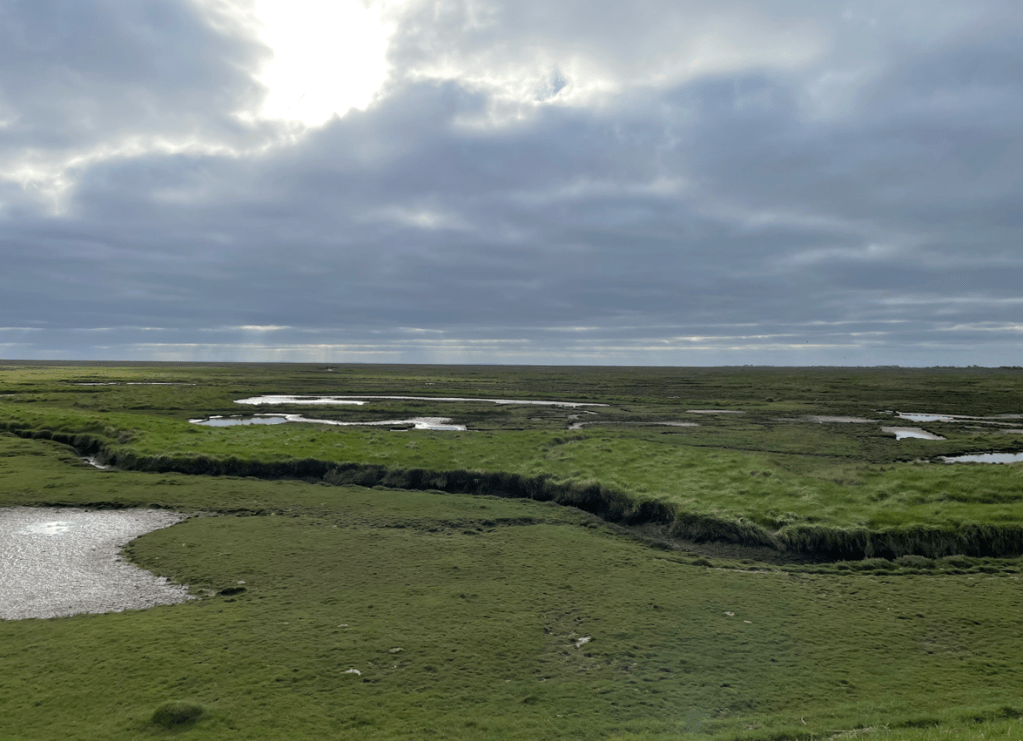
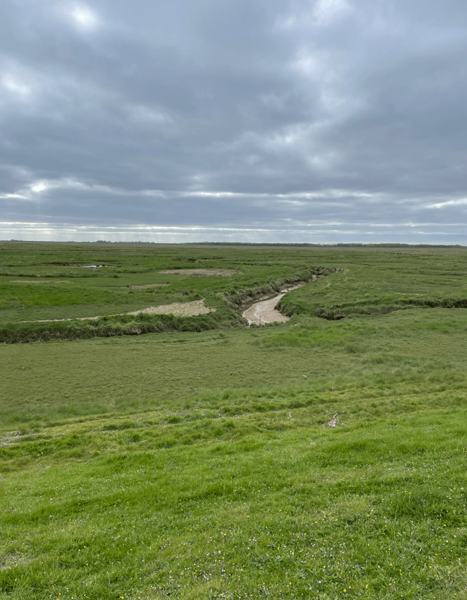
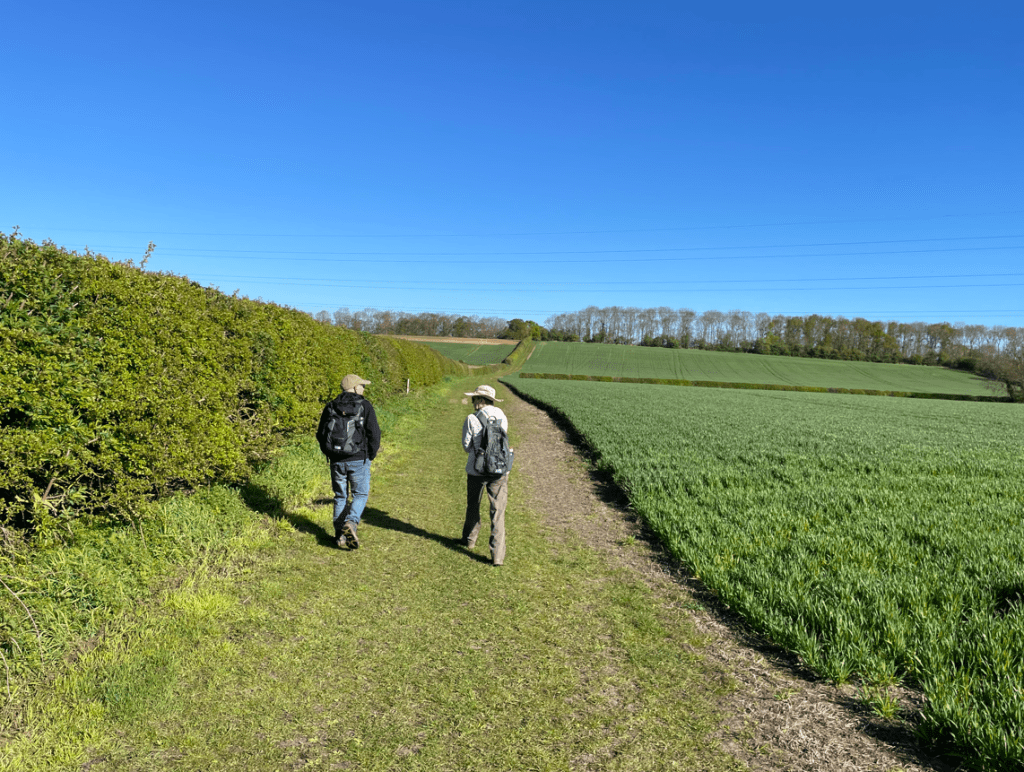
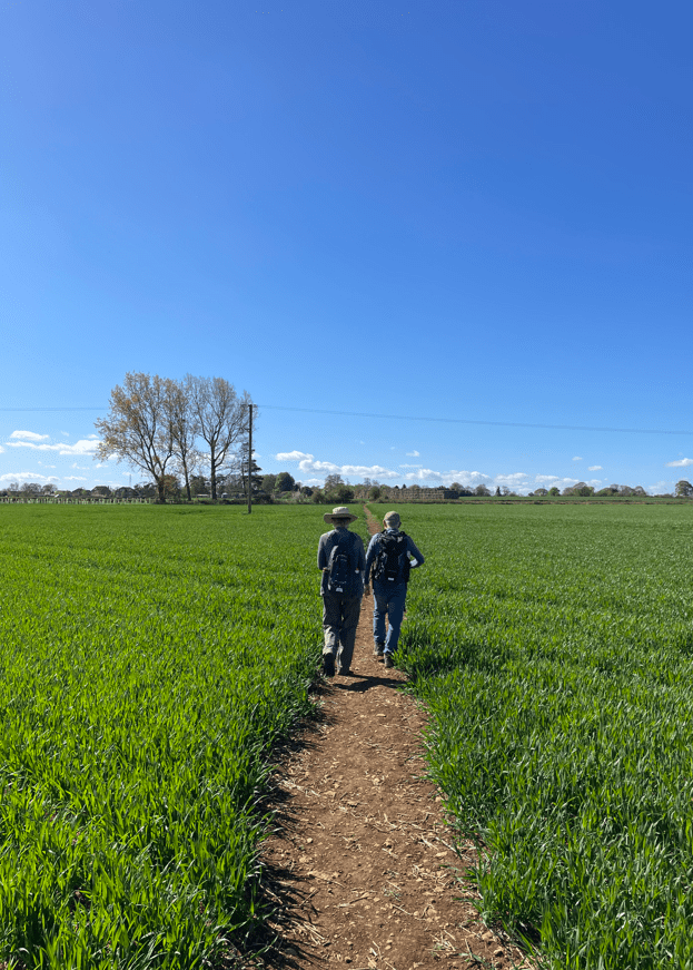
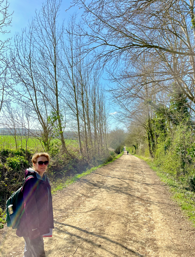
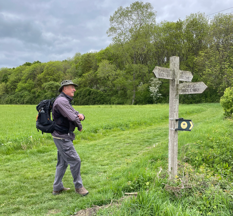
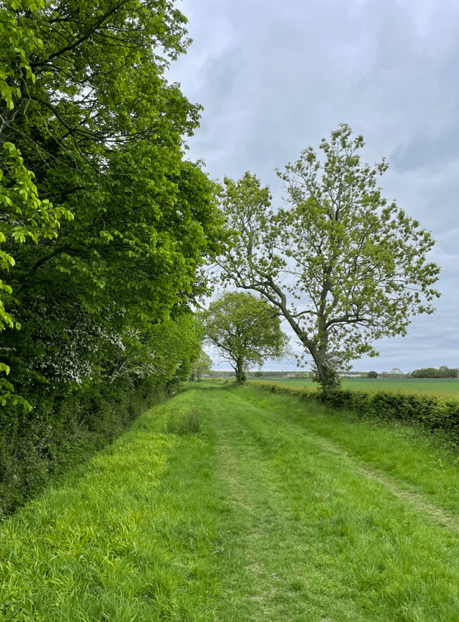
    Our route took us along The Viking Way passing Southrey Wood – it was a nice grassed path.

    walking close to Southrey wood.

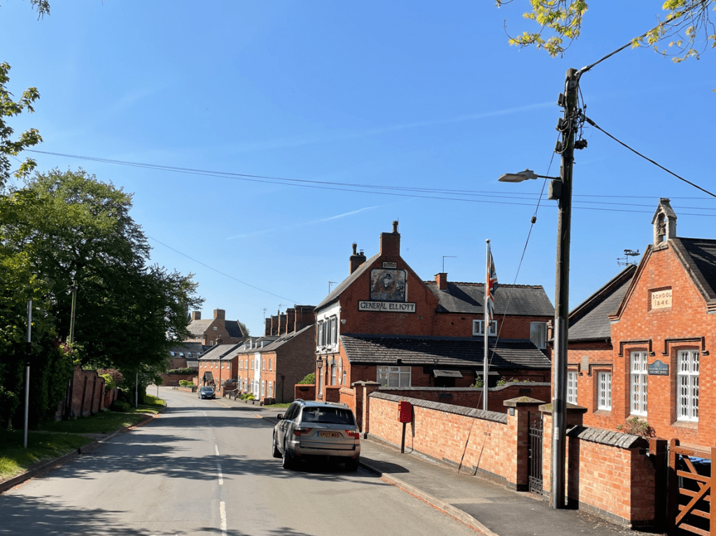
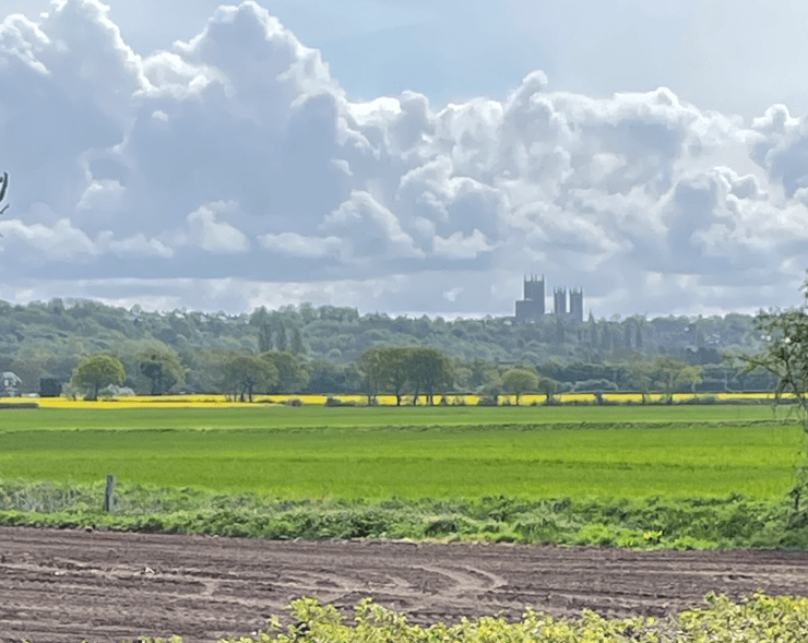
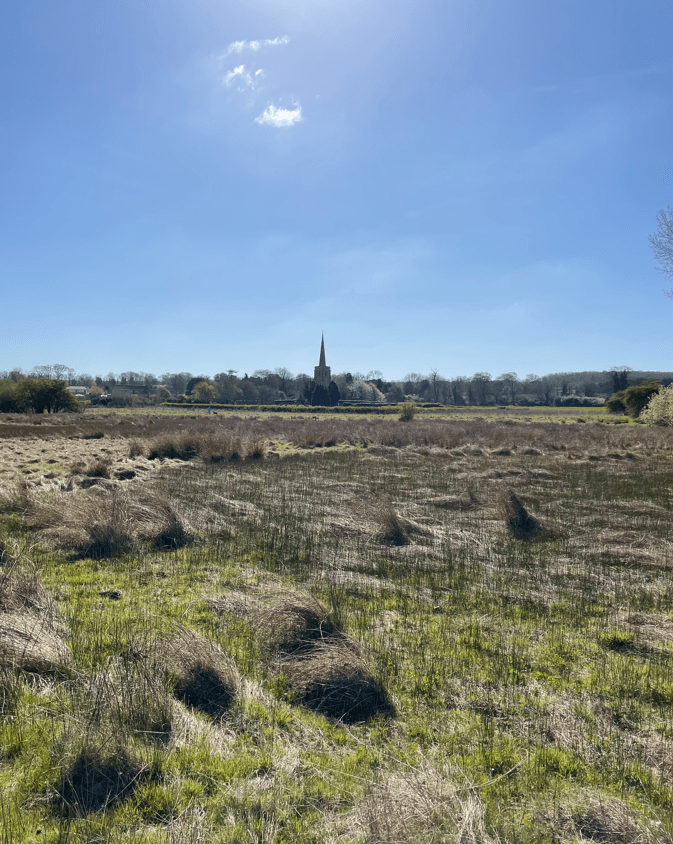
    As we approached the village of Bardney we could see the sugar factory in the distance.

    Sugar factory in the distance

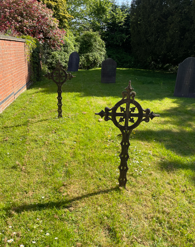
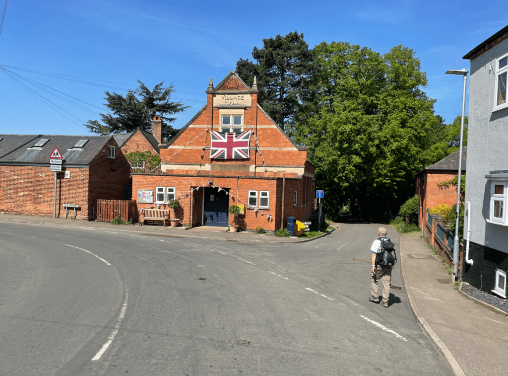
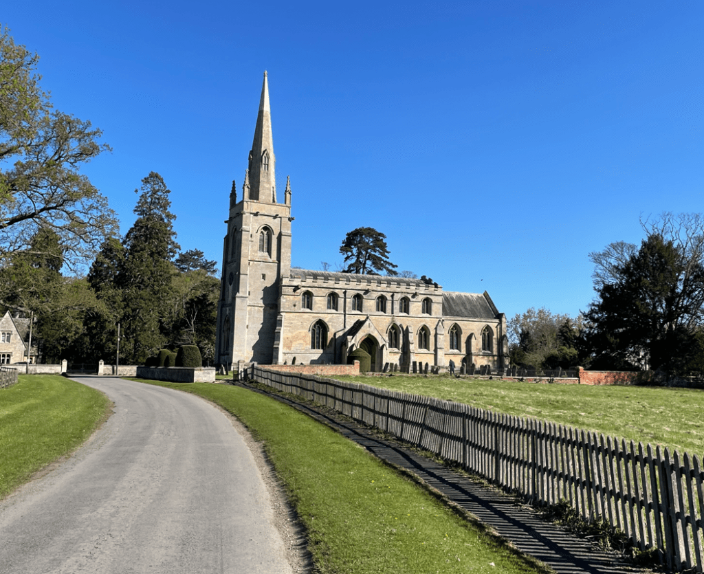
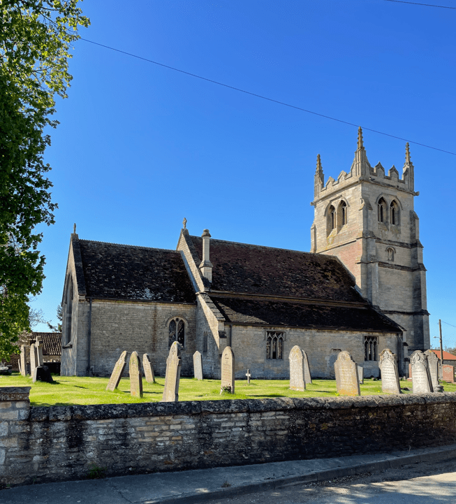
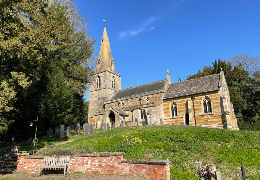
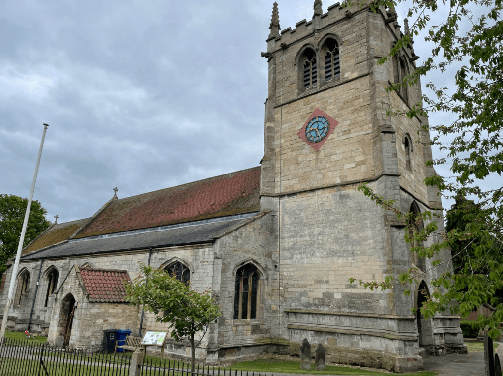
    Arriving into Bardney we stopped at the church for a quick break- Angela was hungry! We found the village sign.

    St Lawrence church, Bardney

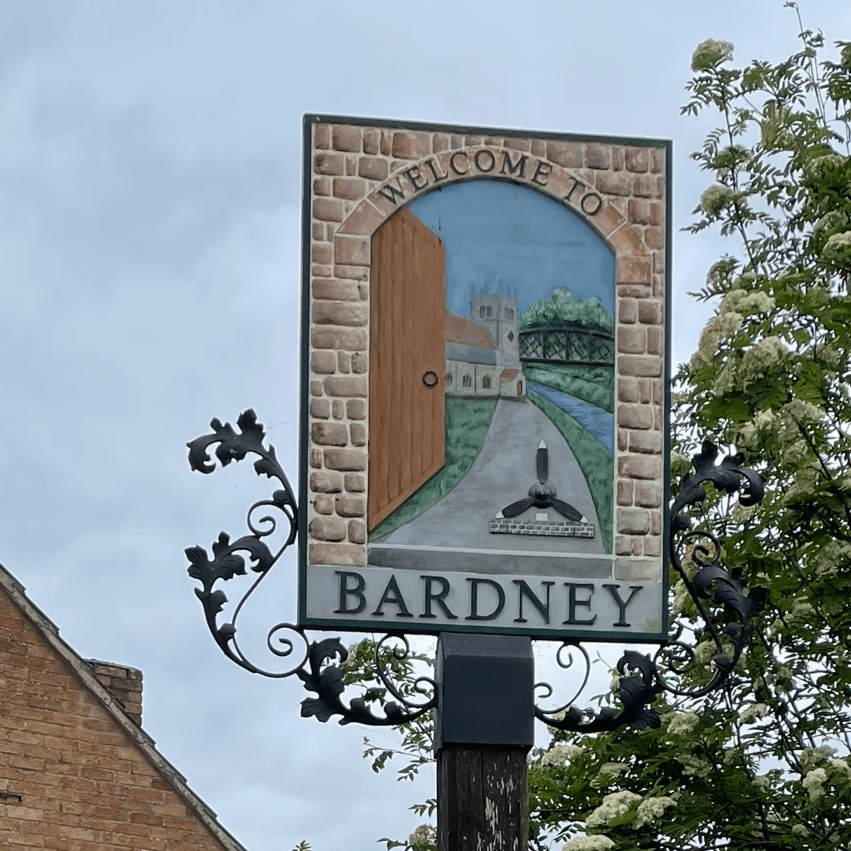
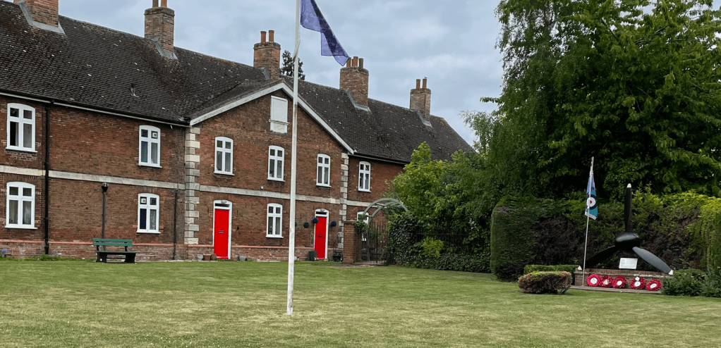
    The propellor, seen on the village sign, is to commemorate the servicemen of the IX Squadron Royal Air Force who flew Lancaster bombers from RAF Bardney between 1943 and 1945. They bombed U-boat pens using ‘tallboy’ bombs and, with the help of Norwegian Resistance, bombed the German battleship ‘Tirpitz’. The Lancaster propellor rests on a plinth incorporating a slab of Norweigan stone.

    The Lancaster propellor memorial

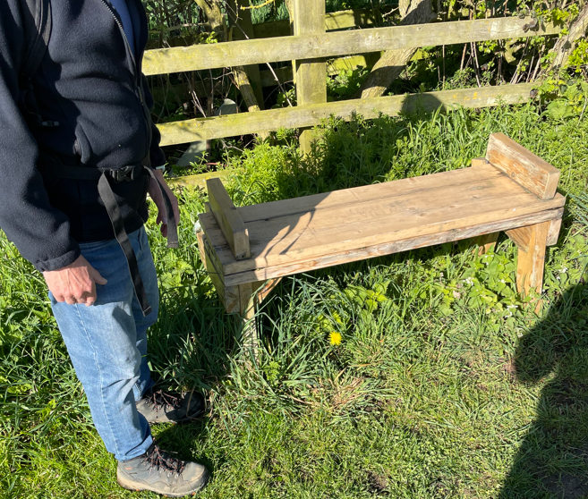
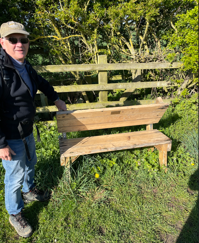
    We also saw a nice memorial bench.

    Leaving Bardney we passed ground that once was held a Benedictine Abbey but we didn’t see any evidence.

    Where were the ruins??

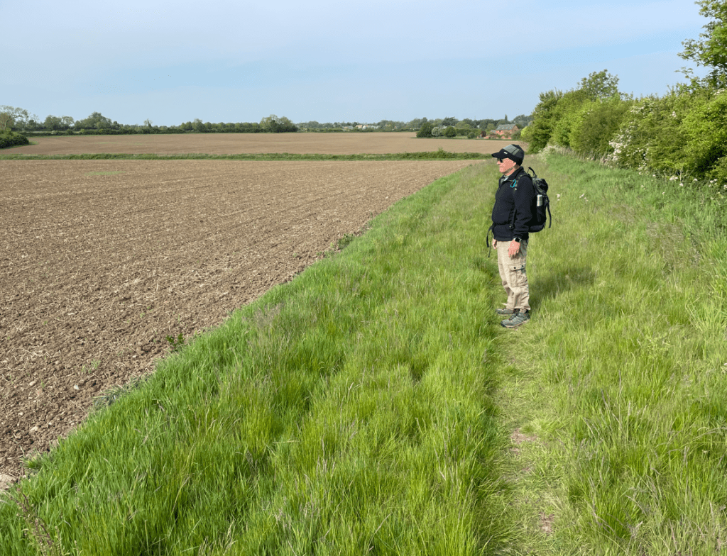
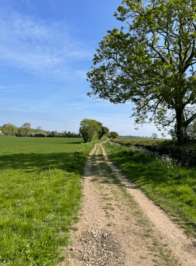
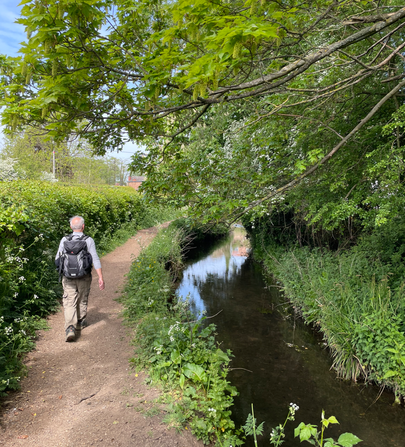
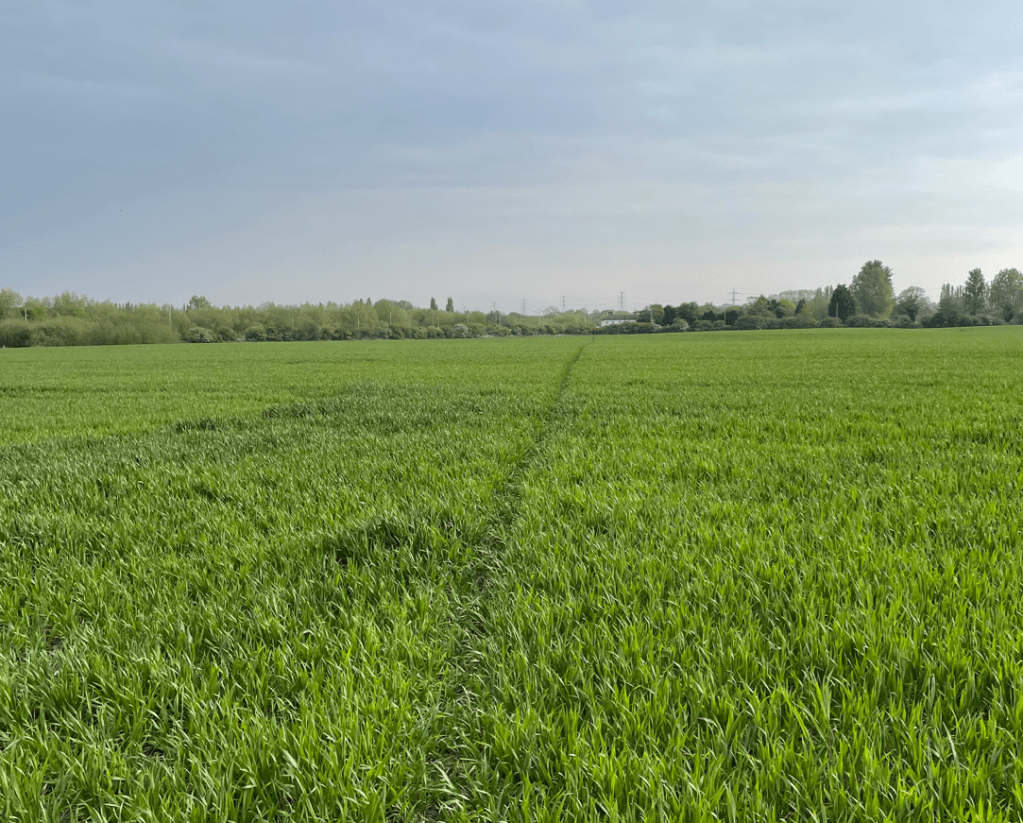
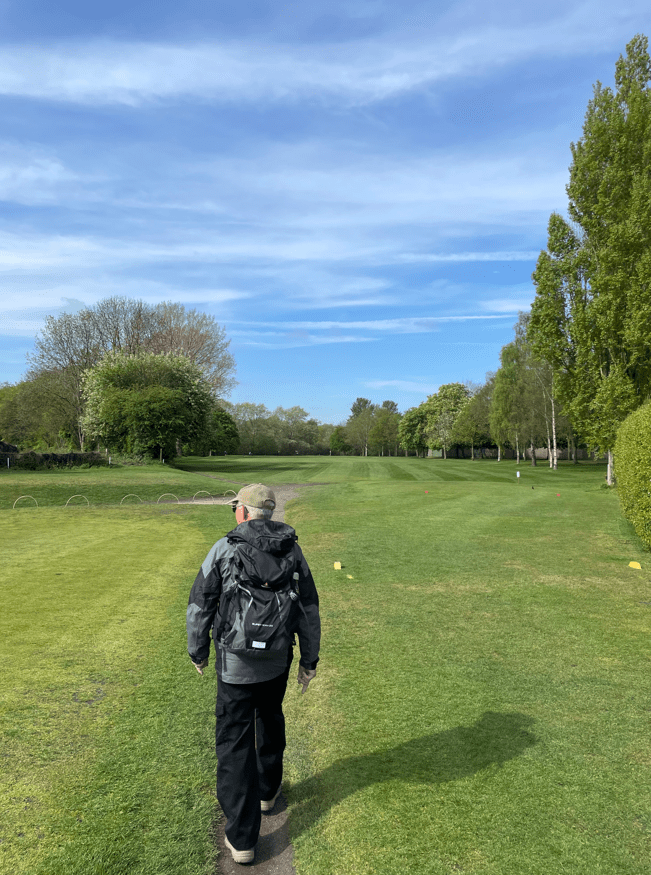
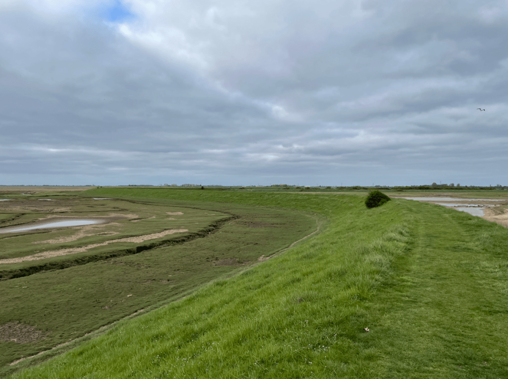
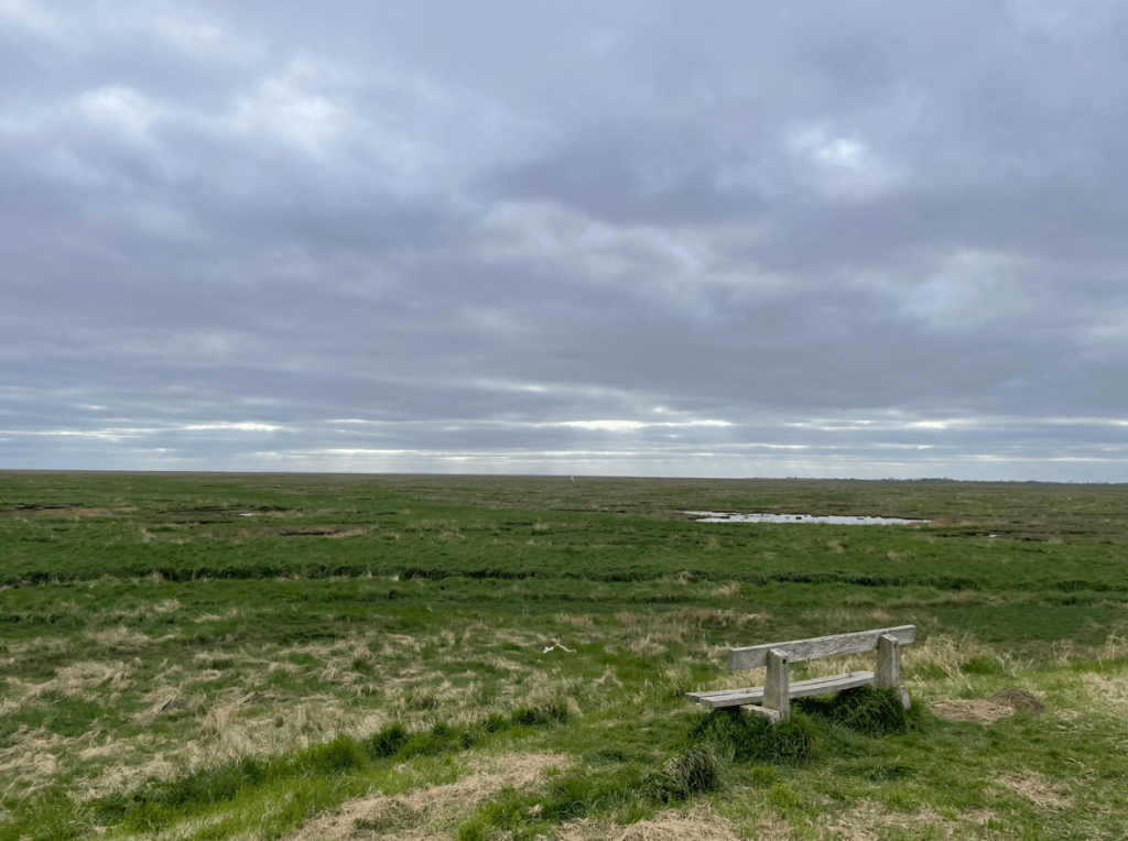
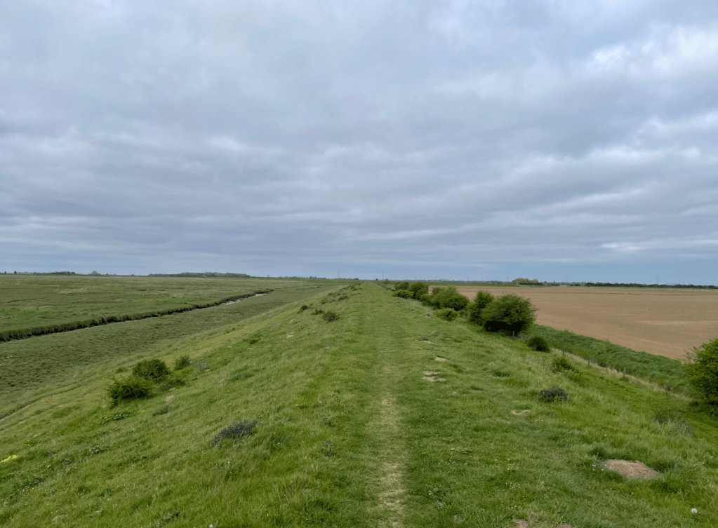
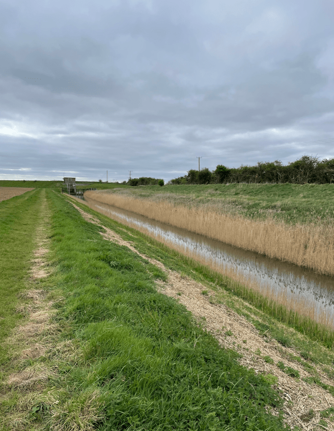
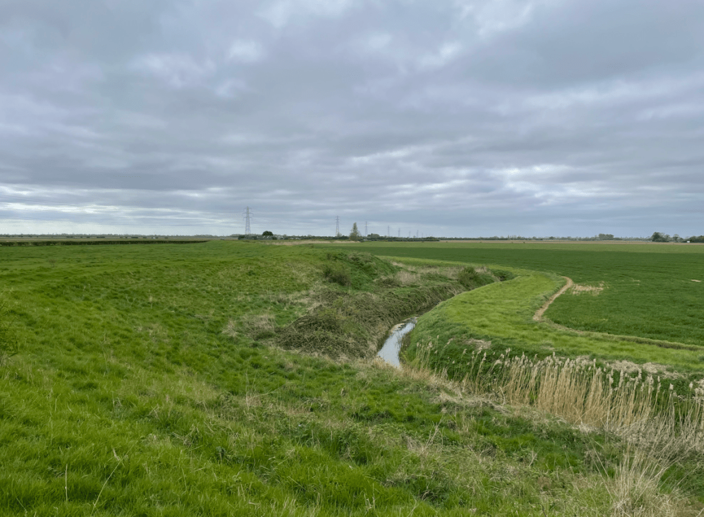
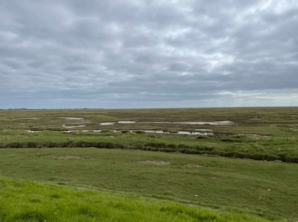
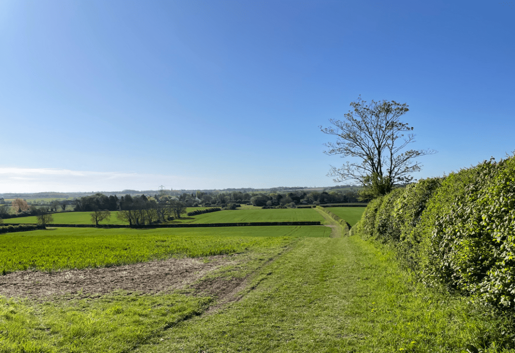
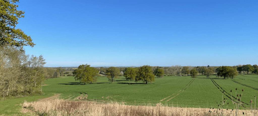
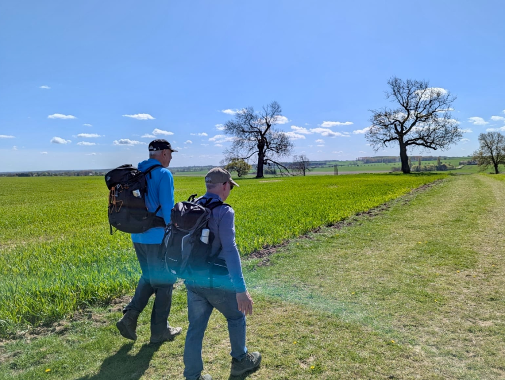
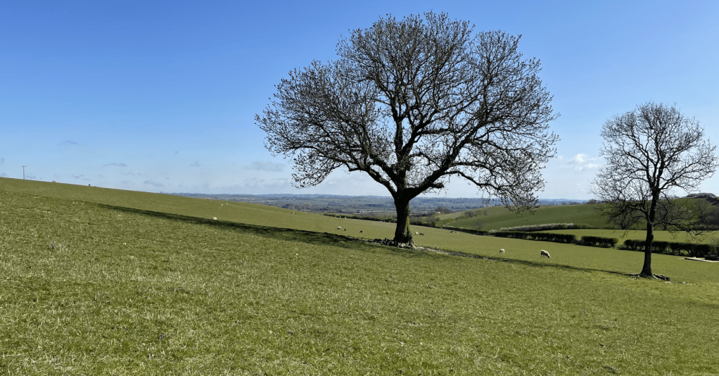
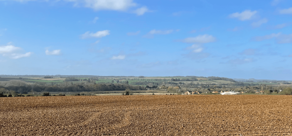
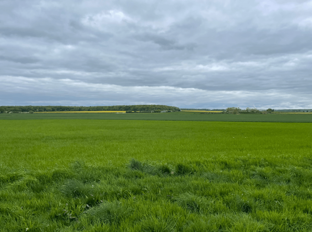
    We continued walking along easy grassy paths with wide views.

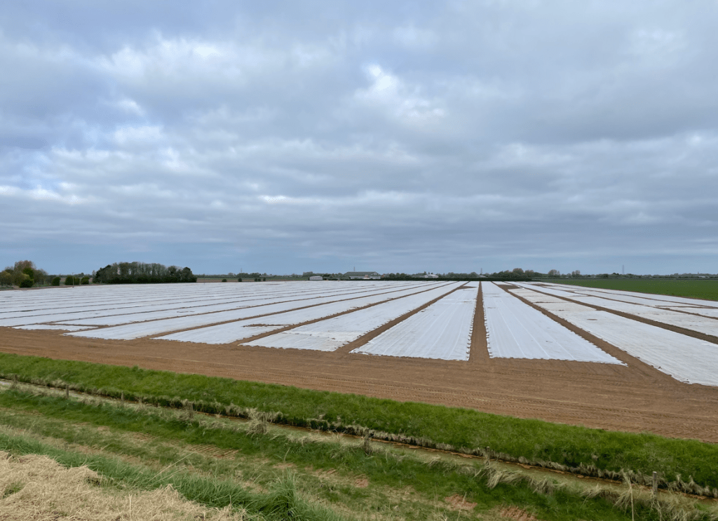
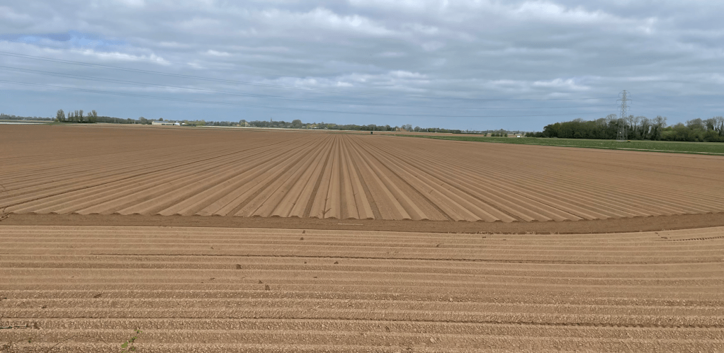
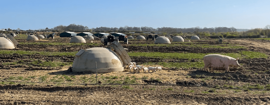
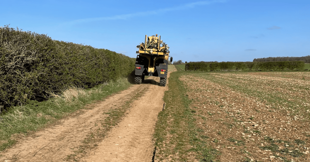
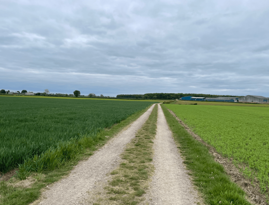
    We reached farms and walked along farm tracks, passing a field where peas were growing.

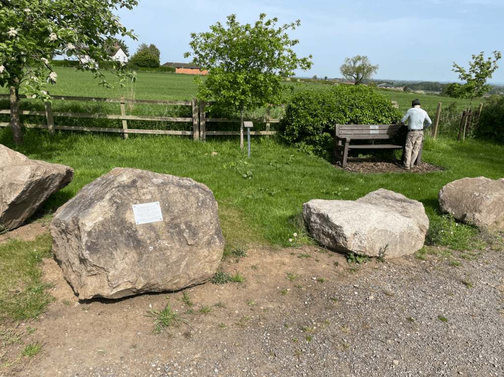
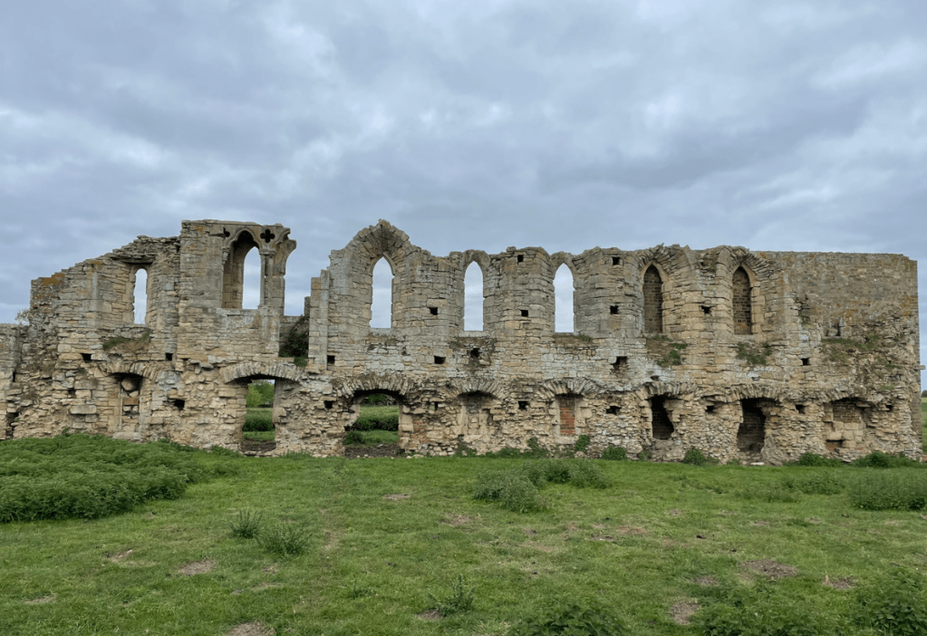
    Soon, we reached the ruins of another Abbey – Tupholme Abbey.

    Tupholme Abbey

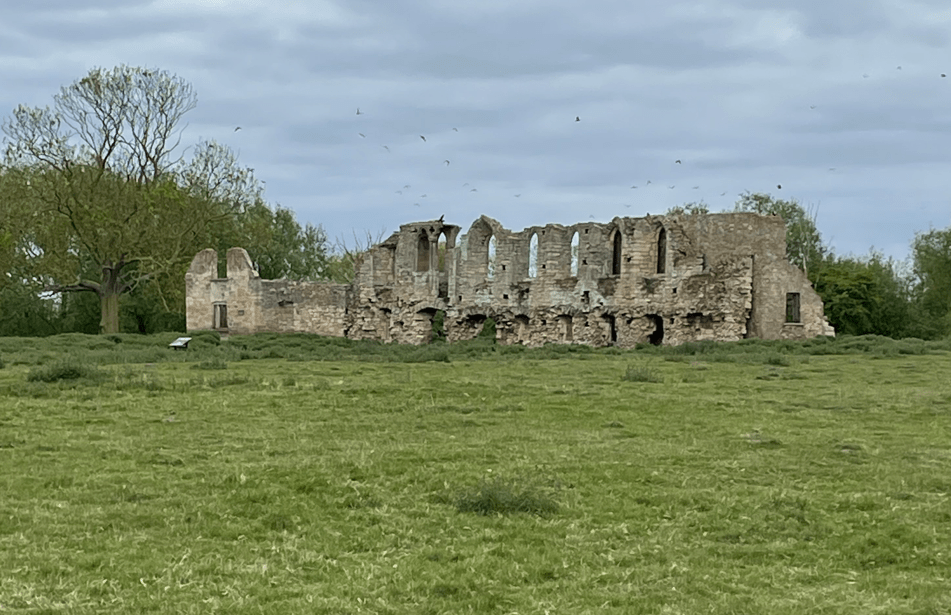
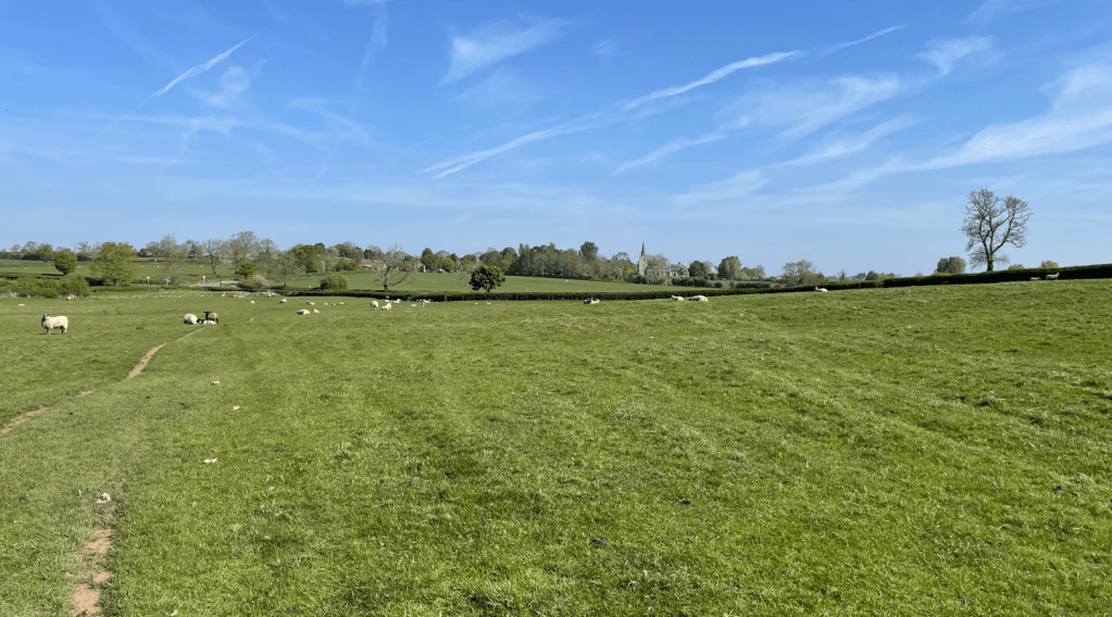
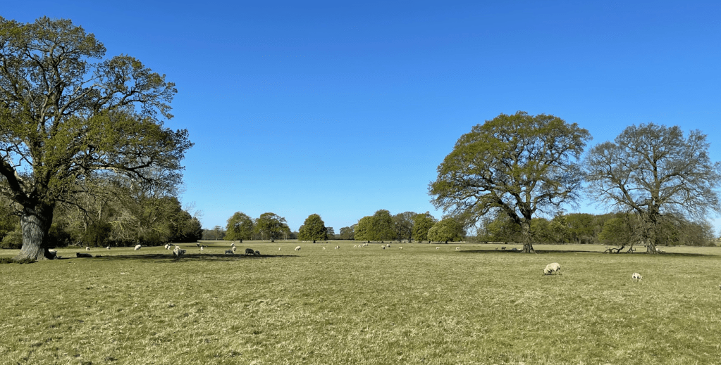
    Tupholme Abbey was founded around 1160 by an Abbot and 12 canons of the Premonstratensian Order. The name Tupholme means ‘the island of sheep’ and today there were sheep still grazing in its grounds. This area of the Witham Valley once had 9 monasteries. This was probably due to the high ecclesiastical status of Lincoln and the importance of the river Witham as a trading link for the export of the wool that made up much of their income.

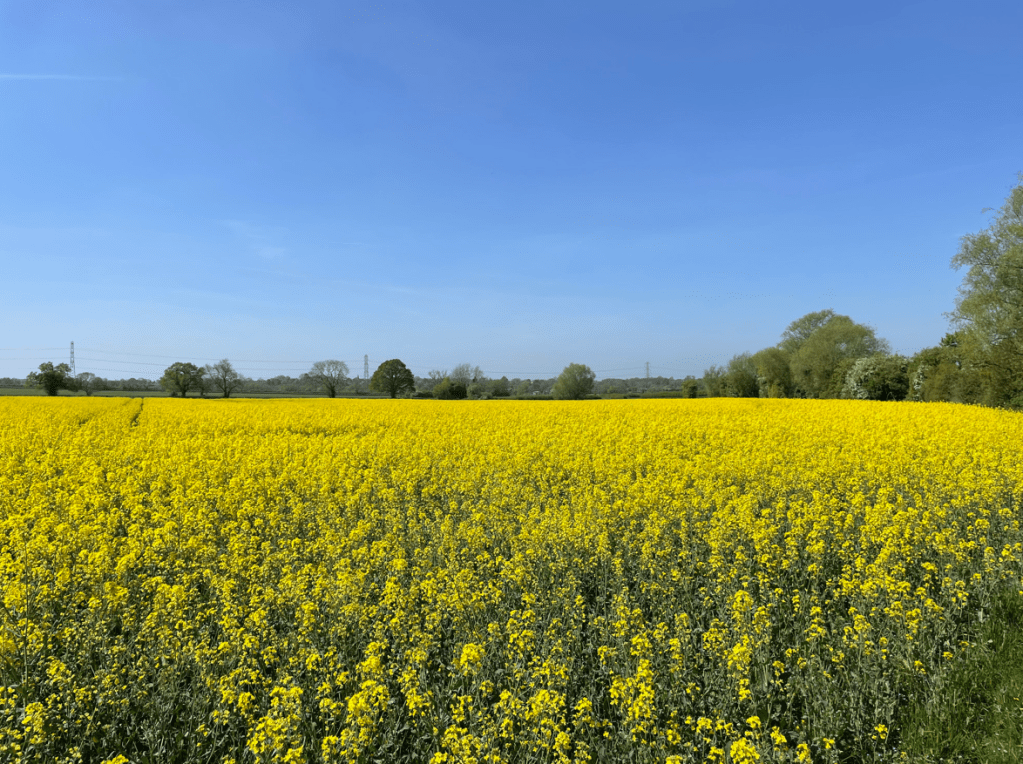
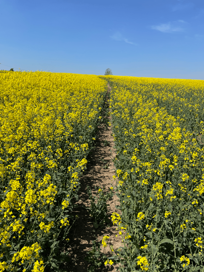
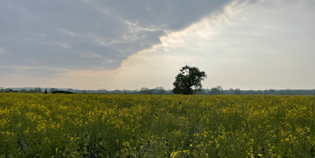
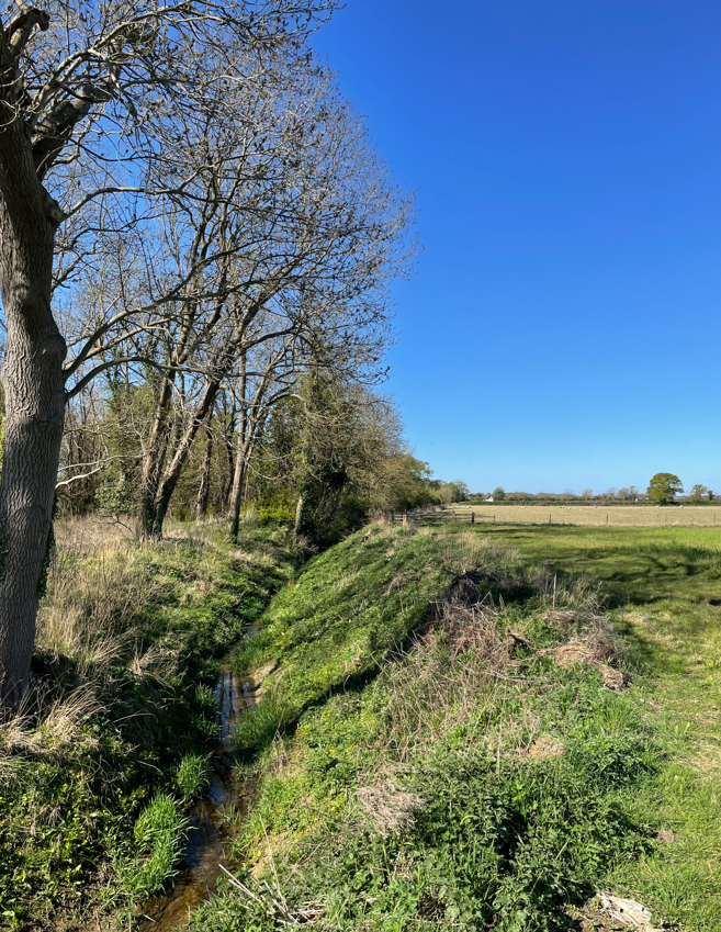
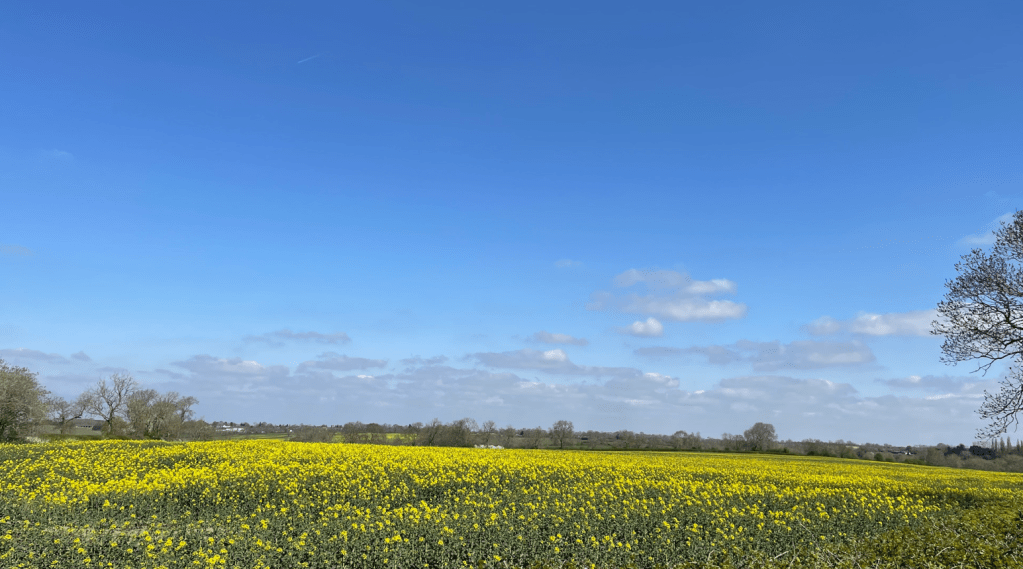
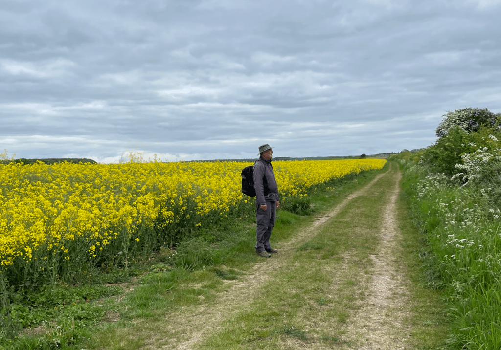
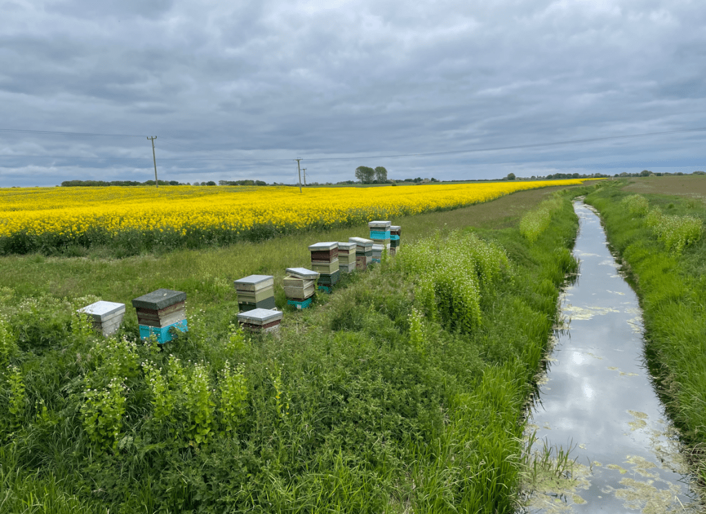
    We stopped for a break in the grounds and then pushed on again. We passed some bee hives close to a field of oil seed rape and watched as the bees swooped down to drink from the nearby stream.

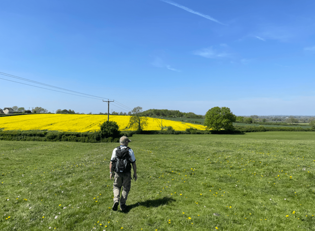
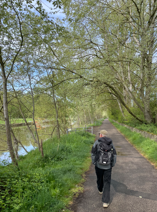
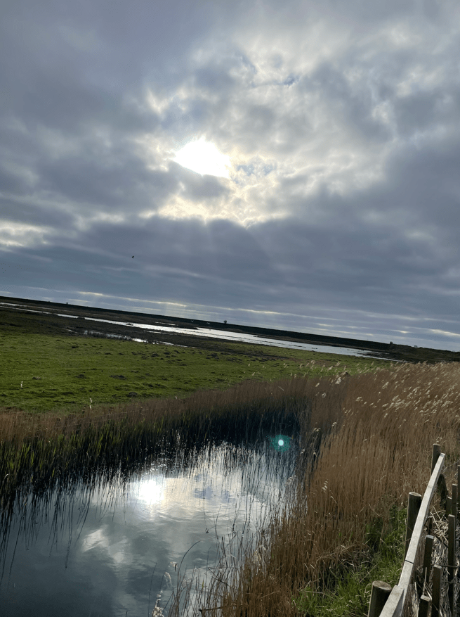
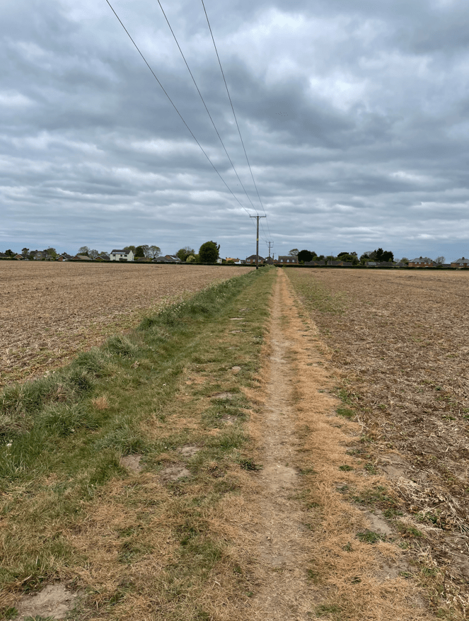
    Finally, we crossed the last field back into Southrey village. It was still a grey and relatively chilly day.

    It had been an interesting walk with plenty of history visible along the way.

    Happy Walking! 😊🚶

  • Exploring The Leicestershire Round: Frolesworth to Burbage Common

    May 7th, 2025

    Hello and welcome back to my blog 😊.

    Today, myself and Mick completed another leg of The Leicestershire Round (a 100-mile route around Leicestershire) walking 10.7 miles from Frolesworth to Burbage Common.

    After a rocky start, where I struggled to find the meeting up point (Burbage Common Visitors Centre), I eventually found it, and we set off in one car to Frolesworth – the point where we finished our previous leg last week. It was a chilly morning – roll on summer!

    Our route was, as usual, across arable land and meadows.

    Mick checking out the wildlife

    The land was bone dry. We had half the normal rainfall in March and the sunniest April on record and I must say, with my walking hat on, this has been great news. I fear however, that we will pay for the fine weather now with a very wet June and July – I hope that my fears prove unfounded.

    Typical meadow

    Passing through the small villages of Claybrooke Magna and Claybrooke Parva we were heading for High Cross.

    High Cross, at the junction of two important Roman roads, was the geographical centre of Roman England. The Fosse Way (Lincoln to Exeter) and Watling Street (Dover to Wroxeter near Shrewsbury) met here.

    We approached a nice street sign just before we came to the old Fosse Way.

    A few large boulders (from Croft Quarry) mark the Geographical Centre and it had a bench which we took advantage of for a break.

    Boulders marking the geographical centre of Roman England

    After a break we followed the very straight Fosse Way towards Sharnford.

    The Fosse Way

    The route took us through Fosse Meadows where there was a lake and forestry. We paused in a bird hide to peer at the lake. The surrounding wetland was dry. Mick spotted a duck on the lake.

    View from the bird hide of the wetland by the lake at Fosse Meadows

    I enjoyed the meadows with the bright yellow buttercups sprinkled across the grass and the white hawthorn bushes lining the sides.

    Fosse Meadows

    A lovely walk beside a stream brought us into Sharnford.

    Mick commented that there had not been as many stiles compared with the last leg. A fatal mistake, because subsequently, we had 23 stiles to cross! – quite a few of which were in perilous condition.

    After walking through Sharnford we crossed fields to reach the hamlet of Aston Flamville. A very attractive hamlet with houses to drool over.

    More buttercups

    Shortly, we crossed a bridge over the M69 motorway.

    M69 Motorway

    Descending steps adjacent to the Motorway we walked beside it for a while then headed off across stiles/fields, touching the edge of Hinckley and towards Burbage Wood. We skirted the outside of the woods arriving into Burbage Common, 200 acres of access land. Clearly a popular spot -there were plenty of people enjoying a walk.

    Burbage Common

    We arrived back into the car park – the nearby café was very busy. All that remained to do was for Mick to drive me back to Frolesworth to collect my car. It had been a nice easy walk – most pleasant.

    Next week we will walk another leg – to Market Bosworth, I am looking forward to it.

    Happy Walking! 😊🚶

  • Exploring Lantern Pike: A Scenic 8-Mile Walk

    May 2nd, 2025

    Hello and welcome back to my blog 😊.

    Today myself and Angela visited Hayfield in the Peak District, enjoying a 8-mile circular walk during which we visited Lantern Pike. We had some lovely views and met very few people along the way.

    Dry stone walls crisscrossing the fields

    We set off from Manchester at early o’clock to avoid rush hour traffic. After finding parking we were soon crossing a bridge across the River Sett.

    River Sett

    We had a steep climb through the village eventually reaching a track leading to Snake Path. A sign reminded us that we are fortunate that we could walk the land we would be walking today because, at one time, landowners prohibited it. The action taken by those protesters changed the course of history.

    Looking back as we ascended we could see mist enveloping the valley below. The track became stony so we had to watch where we placed our feet, and after a brief steep uphill walk, we entered open moorland.

    In the distance we could see Mam Tor and I wondered how many people would be stood on top today- quite a few I would imagine. We stopped fairly often, taking time to look around, soaking up the beauty.

    We came to a junction, close to some huts used for shooting parties on private land, and took the path towards Glossop. The other direction would have taken us to Edale via Jacobs Ladder.

    A nice wooden causeway made it easy to cross what would have been a very boggy section.

    The path meandered across the moorland and we could see that we were getting nearer to Lantern Pike.

    Lantern Pike in the distance

    We joined the Pennine Bridleway.

    Arriving at Lantern Pike we had a steep ascent to reach a topograph at the summit.

    Rewarded at the top by great views we met the first person of our walk who was also taking in the view. It was a steep descent and I nearly slipped a couple of times on the loose stones.

    Descending off Lantern Pike

    A stone tree-lined track then descended into the valley.

    We passed some colourful orange and yellow plants along the way.

    We followed the path of the dismantled railway back into Hayfield. Passing by a reservoir (built originally to feed the mill) we stopped at a bench for a break, which was rudely interrupted by a swarm of green fly! There were walkers and cyclists out and about.

    The dismantled railway path

    Angela liked a flowering Azealia in the churchyard.

    We crossed over the River Sett once again.

    On the way back to the car we passed a blue plaque recording that Arthur Lowe (famous for his role as Captain Mainwaring in ‘Dad’s Army’ -a classic British comedy) had been born in this terrace.

    We had both enjoyed the day out walking.

    Happy Walking! 😊🚶

  • Stiles, Stiles and more Stiles!

    Apr 30th, 2025

    Hello and welcome back to my blog 😊.

    Today myself and Mick completed our leg 8 of the Leicestershire Round, walking 9.5 miles from Bruntingthorpe to Frolesworth.

    After enduring the horrendous rush hour traffic around Leicester we eventually positioned our cars at the start and end of the walk and set off from Bruntingthorpe, across green fields, towards Peatling Magna. It was a beautiful sunny morning.

    We soon eased into relax mode as we enjoyed the easy walking. After a couple of miles across the fields we arrived at Peatling Magna- a quiet little village.

    Passing through, we headed towards Willoughby Waterleys, again, across nice grassed fields.

    We were starting to notice that there were stiles to be crossed between fields – more than we had met previously on the walk. As we arrived into Willoughby Waterleys we stopped at a bench, in the shade of the churchyard, for a break and to take on water. It was going to be a hot day!

    Mick spotted a couple of unusual metal headstones in the cemetery – we had not come across ones like that before.

    Walking into the village we passed a pub called ‘George Elliott’. It looked closed and I wondered about its name. So, I checked when I got home. Apparently, it never opened after the Covid pandemic. The pub was named after George Augustus Elliott (1717 to 1790) who was the victorious Governor of Gibraltar during the Great Siege 1779-1783. There are a number of pubs across the country which honour his name – as I found when I googled it!

    George Elliott pub Willoughby Waterleys

    Leaving Willoughby Waterleys we set off towards Dunton Bassett. As we came to a gate exiting a field we found that a car had crashed into it and mangled it badly. The car must have been travelling too fast and missed the bend. We just about squeezed through.

    Our route took us through private fishing lakes (Holy Farm Fishery) – the owners had kindly trimmed the path for us. The lakes were lined with Anglers.

    Path through the fishing lakes

    We encountered more stiles on the way to cross over the M1 which wasn’t as noisy as I had expected. Time to apply sunscreen.

    Crossing the M1

    We arrived into Dunton Bassett and made for a bench in front of the distinctive village hall. Deep gulps of water were taken on board.

    Mick heading for the bench in Dunston Bassett

    Our next port of call would be the village of Leire. We walked past yellow oil seed rape fields and then past a lake / stream which led to Stemborough Mill – a lovely old building.

    Stemborough Mill

    The stiles were coming thick and fast now. We reckon that by the end of the walk we had climbed over 30 stiles.

    Another stile!

    Our path took us through an oil seed rape field. We emerged covered in yellow pollen from the flowers, so at the next field, we skirted around the edges.

    Soon, we were arriving into Frolesworth.

    We had past through numerous field containing cows and generally they ignored us. Some curious bullocks came over one time to say hello.

    It had been a lovely easy walk and the weather was a big bonus. But, oh those stiles! I wonder what the next leg will hold.

    Happy Walking! 😊🚶

  • A walk by water – most of the time!

    Apr 26th, 2025

    Hello and welcome back to my blog 😊.

    Today, I enjoyed an 11.4- mile circular walk that took in The National Watersports Centre where I found that there was a lot of activity on the water.

    My route

    As is my way, I had an early start, parking close to The Grantham Canal at Bassingfield. I headed off along the towpath for a short walk then turned towards the village.

    Passing through, I headed across fields to reach the A52. I walked past a field containing yellow oil seed rape – not as common as it used to be. The final field that I crossed was a wheat field and my boots / trouser bottoms got a good soaking from the morning dew. Still, I was hopeful for fair weather, so they would soon dry out.

    After crossing the A52 I headed along Sandy Lane into Holme Pierrepont passing fishing lakes which were lined with Anglers – competition day!

    Angling competition

    I was soon arriving into The National Watersports Centre – on previous occasions when I had walked there, it was like the Marie Celeste, but this morning, it was a hive of activity. I was delighted to watch. Men on bikes, cycling along, shouting encouragement into megaphones, was the order of the day. I stopped at a bench and enjoyed my scotch egg and coffee whilst watching all the rowers.

    Rowing is clearly a very popular sport these days. I walked along one side of the lake and then down the other side and crossed a bridge to reach the slalom course.

    I walked through the Slalom course, crossing another two bridges. Canoeists were out on the course enjoying the choppy waters. Towards the end of the course I heard drum & bass music – greeting canoeists at the start of the course. I saw some ‘stubby’ canoes – these are playboat kayaks- and youngsters were doing somersaults in them! This is new to me – I think they are used for freestyling.

    I moved past the Water Sport centre and joined the banks of the River Trent.

    River Trent

    Walking along there were rowing boats out on the river and you could hear the Cox shouting instructions – maybe they were warning up for a race later in the day.

    I was on the Trent Valley Way.

    I passed apartment blocks with a view.

    Eventually, just by Nottingham Forest Football ground, I turned into Trent Lock and the start of the Grantham Canal.

    Trent Lock

    This section of the canal is redundant, cut off by urban development in Nottingham. I followed the remaining sections of the canal in Ladybay, where they exist – some of which were dry.

    Dry canal
    Dry canal

    For a man who likes canals this was hard to see. As I walked further I found that there was water in the canal at Gamston.

    Where there was water there was life. New arrivals from the Ducks and Coots were being chaperoned carefully by their mothers.

    Soon I arrived back at my parking spot. I had enjoyed seeing all the activity at the National Water Sports Centre – it had made my day!

    Happy Walking! 😊🚶

  • Discover Lincoln: A Picturesque 8-Mile Walk

    Apr 22nd, 2025

    Hello and welcome back to my blog 😊.

    Today myself and Mick enjoyed a lovely 8-mile circular walk starting beside the magnificent Lincoln Cathedral, along the Fossdyke Navigation and then back up the famous Steep Hill to the Cathedral.

    Lincoln truly is a beautiful city, especially on a balmy sunny day. If you have never been its well worth a visit.

    We parked in the Park and Ride car park and caught the bus to the Cathedral – a 5 minute journey. After getting off the bus we headed towards the Cathedral. Built in 1072 the Cathedral is one of the finest examples of Gothic architecture in all of Europe. An earthquake in 1185 almost totally destroyed the original Norman Cathedral and it was rebuilt in gothic style between 1192 and 1280.

    Mick starting his GPS

    Leaving the grounds of the Cathedral we walked along Bailgate and then turned into Westgate passing the walls of Lincoln castle.

    I popped into a Seven Districts coffee shop to get a Latte take-away- it was very good coffee. The company is a speciality coffee roaster within the seven districts of Lincolnshire and operate a number of coffee shops.

    After a short walk we reached Aldermans Walk along the edge of West Common. Amazing that houses have not been built here and that’s its being kept as a green space.

    Aldermans Walk beside West Common

    We then walked beside Carholme golf course to reach the Fossdyke Navigation.

    Carholme Golf Course

    Lincoln was founded as a fortress, and later a city, by the Romans at the point where the river Witham cuts through the limestone ridge of Lincoln Edge. The Fossdyke can claim to be the oldest canal in the country as it was originally cut by the Romans around AD120 to link the river Witham at Lincoln with the river Trent. It is 11 miles in length. It was probably used to transport food from the rich farmland of the fens to feed the occupying Roman armies. Centuries later, the Normans used it for transporting stone to build their castles.

    Beside the Fossdyke navigation.

    We enjoyed a pleasant walk along the side of the canal. There were quite a few boats moored up along the way – some had seen better days.

    The Fossdyke Navigation

    After a while there were no boats moored up as we were leaving the environs of the city. Further on we passed what looked a nice pub – The Pyewipe Inn. It had some large Tipis in the garden- I checked it out when I got home – they are for weddings.

    As we walked along, the Cathedral, high on its hill, dominated the surrounding areas.

    We reached our turnaround point and then followed Catchwater Drain back to join the Fossdyke once more.

    Catchwater Drain
    Fossdyke Navigation

    Dog walkers, cyclists and runners were all out enjoying the nice weather along the canal. Soon, we were arriving back into urban areas with nicely situated properties built beside the canal.

    We reached Brayford Waterfront home to many restaurants, cafes and the University of Lincoln. It reminded me of Salford Quay in Manchester.

    Brayford Waterfront

    As we left Brayford Pool I spotted this curious property beside the river Witham.

    A short walk along the river and up some steps brought us to the busy high street.

    River Witham
    High Street

    We were heading for Steep Hill, a cobbled street which is the fourth steepest in England. It is lined with quaint independent shops and restaurants. It is probably not what you need at the end of an 8-mile walk!

    Steep Hill

    Arriving at the top of Steep Hill the entrance to Lincoln Castle was on our left and Lincoln Cathedral was to our right.

    Lincoln Castle – founded by William the Conqueror in 1068

    It was a short walk to the bus stop to pick up the bus back to the park and ride carpark.

    It had been a walk of contrasts with some beautiful architecture along the way. A great day out. I hope that you enjoyed the blog?

    Happy Walking! 😊🚶

  • Discover the Beauty of Frampton Marsh: A Walker’s Tale

    Apr 20th, 2025

    Hello and welcome back to my blog 😊.

    Today, I was up at early o’clock and took a drive to RSPB Frampton Marsh where I enjoyed a 10-mile circular walk – it was a cracker!

    Lovely pebble found on a gate post

    Frampton Marsh is situated on the south-western corner of The Wash, close to the market town of Boston. The area is an opportunity to see wetlands as they existed in Medieval times. Here, there are vast salt marshes and mudflats and it attracts half a million birds from all over Europe. https://www.rspb.org.uk/days-out/reserves/frampton-marsh

    I had a great drive to Frampton Marsh – there was so little traffic on the road.

    I parked in the carpark and then set off, passing the Visitors Centre – it wouldn’t be open for another couple of hours so I thought that would be handy for a stop when my walk is over.

    The Visitors Centre

    A footpath beside a lane took me towards the new sea-bank that I would be walking along. The thing that struck me was just how noisy the birds were – maybe it was because it was morning and they were celebrating the arrival of a new day?

    There was a chilly wind blowing and I was hoping that the sun would come out soon. Climbing the steps to reach the new sea-bank a signpost informed me that I was on the King Charles (111) England Coastal Path and I had my first view of the salt marshes.

    The salt marshes
    view back of the path I had walked along
    The new sea-bank I walked along

    As I walked on the new sea-bank I was enjoying the stunning views across the marshes.

    I happened across a wooden bench so decided to take a break with a coffee and scotch egg. The silence here was such a contrast to the earlier experience. I felt as though I had the world to myself – a nice feeling. I didn’t linger too long because I was starting to get cold. I had not seen a soul.

    My coffee stop
    My path lies ahead

    To my right were now agricultural fields with the frost protection still in place.

    The vastness of the marshes is impressive – I wondered if it was possible to walk through it at low tide.

    I left the new sea-bank and crossed the Greenwich Meridian to reach a wide drain which I followed for a while.

    I could hear rifles/shotguns being fired – after the solitude along the sea-bank it was a noisy and unwelcome intrusion. I thought to myself – I hope I am not going near them but alas, further on I saw a field with large numbers of people and Range Rovers in and I was walking close by a clay pigeon shoot. The noise was deafening. I then saw a red flag and a very stupid notice on the footpath.

    The sign said to sound the air-horn and then ‘proceed with caution’. Well, with the possibility of no one hearing the siren, and having no positive feedback to say firing has stopped, I did not trust this ‘proceed with caution’ message, so I consulted my map and found an alternative route – a two mile detour across fields and lanes. I guess the organisers were too lazy to post marshalls.

    Eventually, I joined my route along the old sea-bank.

    I passed a field where potatoes(?) had been planted – it all looked very precise.

    Re-joining the new sea-bank there were a few people around now.

    Soon, I was arriving back into the visitors centre where I thoroughly enjoyed a hot Cornish pasty and a large Latte. A big shout out for the staff – they were very friendly and helpful.

    It was a longer walk than I had planned but, as with life, sometimes a spanner will be thrown into the works and you need to modify your route.

    Happy Walking! 😊🚶

  • Discover the Scenic Beauty of Osbournby: A 6.5-Mile Journey

    Apr 17th, 2025

    Hello and welcome back to my blog 😊.

    It was a bright sunny morning as Mick, Angela and I arrived into the small Lincolnshire village of Osbournby. A wide street made for easy parking at the starting point of our 6.5-mile circular walk which would take in the villages of Aswarby, Swarby and Aunsby.

    Osbournby

    I had done the walk last year but it was new to Mick and Angela. We set off walking through the village passing a house which had lovely flowering Wisteria, one of my favourite shrubs with its vibrant mauve flowers.

    Lovely flowering Wisteria

    After a walk through the village we left taking a slightly inclined path at the edge of a field.

    Mick & Angela leaving Osbournby

    We passed a curious folding bench-quite unique.

    Mick demonstrating the folding bench.
    Looking back towards Osbournby

    Having reached the top of the incline we headed downhill on the other side passing beside Tally Ho plantation. We enjoyed some splendid views.

    Reaching the busy A15 we had a short walk beside it, then turned into the tree-lined lane to Aswarby. The magnificent church dominating the horizon.

    Lane to Aswarby
    St Denys church, Aswarby

    There used to be a large country house – Aswarby Hall, in the park adjacent to the church. It was demolished in 1952 following military occupation during the Second World War and being left in a bad condition.

    Passing the church we turned onto a track past Aswarby Saw Mill where we passed an old stone building -perhaps the former blacksmiths workshop for the estate.

    Turning off the track we crossed parkland full of mature oak trees, sheep and curious little lambs.

    Leaving the park we walked beside a ditch to reach the A15 once more.

    Crossing the A15 we walked into the village of Swarby, passing the church of St Mary and All Saints.

    St Mary & All Saints, Swarby

    We had seen Red Kites, a Buzzard and a Kestrel. A small building lay on the green opposite the church- perhaps a former water well. There was no information available.

    An old well?

    Leaving Swarby, we crossed fields enjoying the fact that they were dry 😊.

    We saw four Deer crossing the field in the distance, they saw us too, and after glancing at us they continued on their way. A fluffy sheep caught our attention.

    What breed am I?

    Small white clouds resembling balls of cotton wool hung unmoving in the blue sky.

    Small white clouds

    Soon we were arriving back into Osbournby, passing another cottage with Wisteria. Wonderful!

    Arriving at the car it was turning into a very warm day. A splendid walk was had by all.

    Happy Walking! 😊🚶

  • The Three Amigos Tackle the Leicestershire Round: Foxton to Bruntingthorpe

    Apr 9th, 2025

    Hello and welcome back to my blog 😊.

    Today, the Three Amigos walked another section of the Leicestershire Round. Starting at Foxton, we passed through Gumley, Saddington, Shearsby before finishing in Bruntingthorpe – it was a distance of 9 undulating miles. We had blue skies and lovely scenery along the way.

    Leaving the house this morning there was a thick mist enveloping everywhere and it was a chilly 2 deg C. Not an auspicious start. When we parked at Bruntingthorpe we all agreed that it had been a nightmare drive getting there. We took a car back to the start, parking in Foxton. Thankfully, the mist had cleared.

    It was a short walk to the Grand Union Canal and Foxton Locks – a flight of 10 locks that raises boats 75ft up the hill. It was built in 1810.

    Walking down the towpath to the Locks we watched a boat pass through a swing bridge – the bridge looked easy to move.

    Crossing a bridge across the canal we arrived at the bottom of the locks and proceeded to wander uphill.

    Foxton Locks- view from the bottom
    Foxton Locks – view from the top

    A boat was in the final lock having travelled up. We asked the skipper had he used this flight of locks before and were somewhat surprised when he said its his first time on a canal boat!

    Leaving the locks we had a short walk along the towpath before heading uphill to the village of Gumley. We passed beside St Helens Church.

    The church of St Helen, Gumley

    Leaving Gumley we passed a magnificent copper beech tree standing proudly- it was quite striking. We were headed for Saddington.

    We passed through fields containing unusual coloured sheep – mottled brown and white. I wonder what breed they are?

    To our left was Saddington reservoir and dam – built in the 1790’s to feed the canal. The reservoir is fed by Laughton brook.

    Saddington reservoir

    We crossed three footbridges over streams including Laughton brook and the canal feeder, before climbing uphill to the village of Saddington.

    Saddington lies on the hill

    The next part of our route was pretty naff it has to be said. The route lies on a new housing development at Fleckney. As we were arriving Chris quite rightly said that the footpath sign pointed left, although the map was saying the route was straight ahead. We followed the map and the route turned out to be closed – the route had been diverted but no diversion sign was at the point of entry into the estate. Most annoying. Chris pointed out ‘that he did say’ 😊

    Obviously the housing development is new and maybe the Leicestershire Round will be modified at some point to avoid walking into a housing estate. Every cloud has a silver lining so on the estate we found a bench and had a break. I was ready for my scotch egg.

    Delighted to be leaving the housing estate we headed off for Shearsby. A rut filled journey brought us to the lovely village of Shearsby. After the nightmare at Fleckney it was a delight to arrive.

    Thatched cottage in Shearsby

    Easy walking brought us past an oil seed rape field with its vibrant yellow flowers just starting to blossom. You don’t see as much yellow in the fields as you did a few years ago.

    Finally, we arrived into Bruntingthorpe, the end of our walk for today. It had been a lovely walk apart from the minor housing estate debacle.

    There was a fair bit of up so a reminder that Leicestershire is definitely not a flat county!

    Hopefully, next week we will do another leg – Bruntingthorpe to Frolesworth -we finished today with two miles left to reach Peatling Magna.

    Happy Walking ! 😊🚶

  • Discovering Ancaster: A Scenic 7-Mile Walk

    Apr 6th, 2025

    Hello and welcome back to my blog 😊.

    Today myself and Angela enjoyed a 7-mile circular walk around Ancaster including Ancaster valley- Angela had done some research and found the walk online. It turned out that there were a number of unexpected finds along the way.

    Ancaster was a Roman town lying on Ermine Street, the major Roman road heading north from London. Along our route would be signs and information about Roman Ancaster.

    One of the Roman Ancaster signs

    It was a sunny start, but a cold wind was blowing, as we set off from St Martins church walking through the village to the railway station where we passed by a nice old brick engine shed.

    Ancaster Railway station
    Old engine shed

    We headed up Pottergate Road (a track) onto Sudbrook Heath taking in the views.

    view from pottergate road

    Here we found dozens of pig pens and many piglets. It was a pleasant surprise. I suspect they may be supplied to the very popular butchers in Ancaster.

    Continuing on we were passed by a crop sprayer before we met another track – Heath lane and descended downhill towards the village of Sudbrook.

    The crop sprayer passes us
    Heading downhill to Sudbrook

    In Sudbrook we passed what was once the pub ‘The Masons Arms’ but is a private house now. The pubs name was nicely carved in stone.

    Ancaster is famous for its Limestone from the nearby quarry. Historically, Ancaster stone was widely used in Lincolnshire e.g at Belton House and Lincoln Cathedral. Leaving Sudbrook we crossed the railway line at the level crossing.

    Continuing on we came across Moor Closes Nature Reserve where the plant called ‘Tall Thrift’ grows. Ancaster is the only known place in the UK where this plant grows.

    On the information board we noted the interesting info about the old threepenny bit.

    We decided to walk around the reserve on the designated path. The ground was soft and of a boggy nature. We didn’t see any Tall Thrifts but it is a bit early for them.

    Moor Closes Nature reserve

    We stopped next at a bench by the cemetery for a break. On this site in the 1960’s it was decided to excavate the Roman bodies as they were interfering with the use of the modern cemetery. The remains of 82 people were removed. In the early Roman period, cremation took precedence over burial. in later years burial was used and this cemetery indicates that this may have been one of the earliest Christian cemeteries in the country.

    We walked on to the start of the Ancaster Valley- a site of Special Scientific Interest. It is one of the finest sites for limestone grassland and wildflowers in the country. The narrow steep-sided valley has avoided agricultural development and has a diversity of wildflowers.

    Ancaster valley

    We walked along the valley bottom taking care to avoid any wildflowers. At the head of the valley we climbed steps to reach a path which returned us along the valley at height. It was a very tranquil place.

    A short walk brought us back to the car. It had been an interesting walk and it was the unexpected that made it so.

    Happy Walking! 😊🚶

←Previous Page
1 … 4 5 6 7 8 … 18
Next Page→

Blog at WordPress.com.

Loading Comments...

    • Subscribe Subscribed
      • My Walking Journeys
      • Join 66 other subscribers.
      • Already have a WordPress.com account? Log in now.
      • My Walking Journeys
      • Subscribe Subscribed
      • Sign up
      • Log in
      • Report this content
      • View site in Reader
      • Manage subscriptions
      • Collapse this bar