Skip to content

My Walking Journeys

  • Exploring Boston: A Scenic 7-Mile Walk

    Apr 4th, 2025

    Hello and welcome back to my blog 😊.

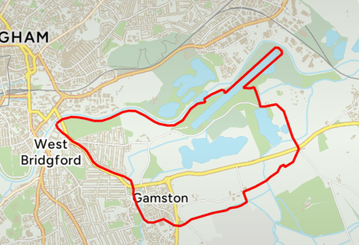
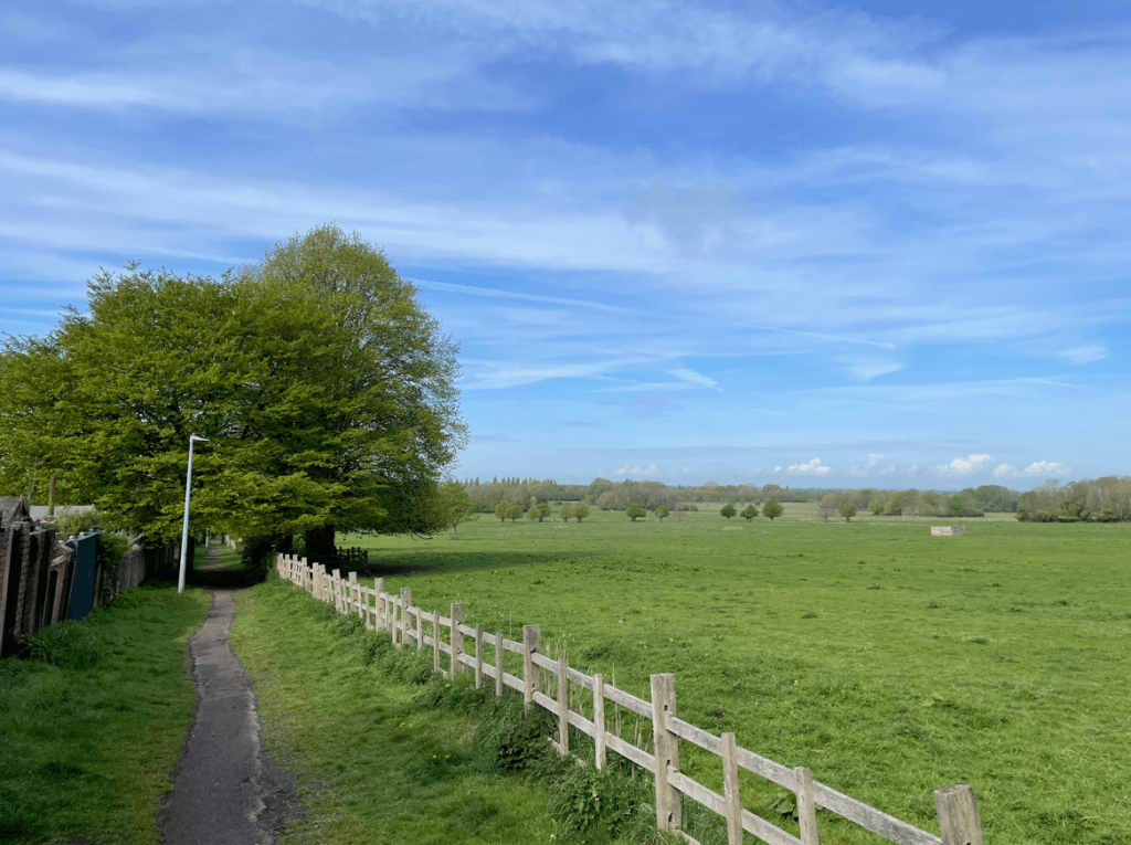
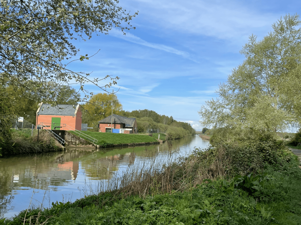
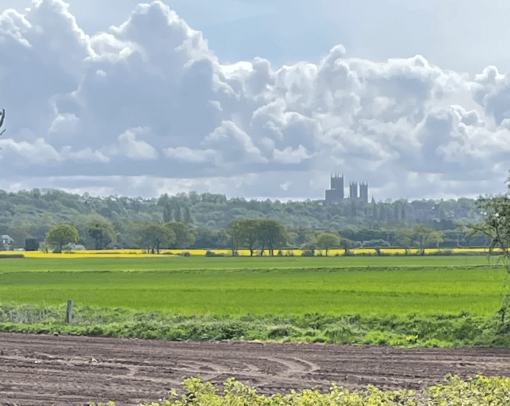
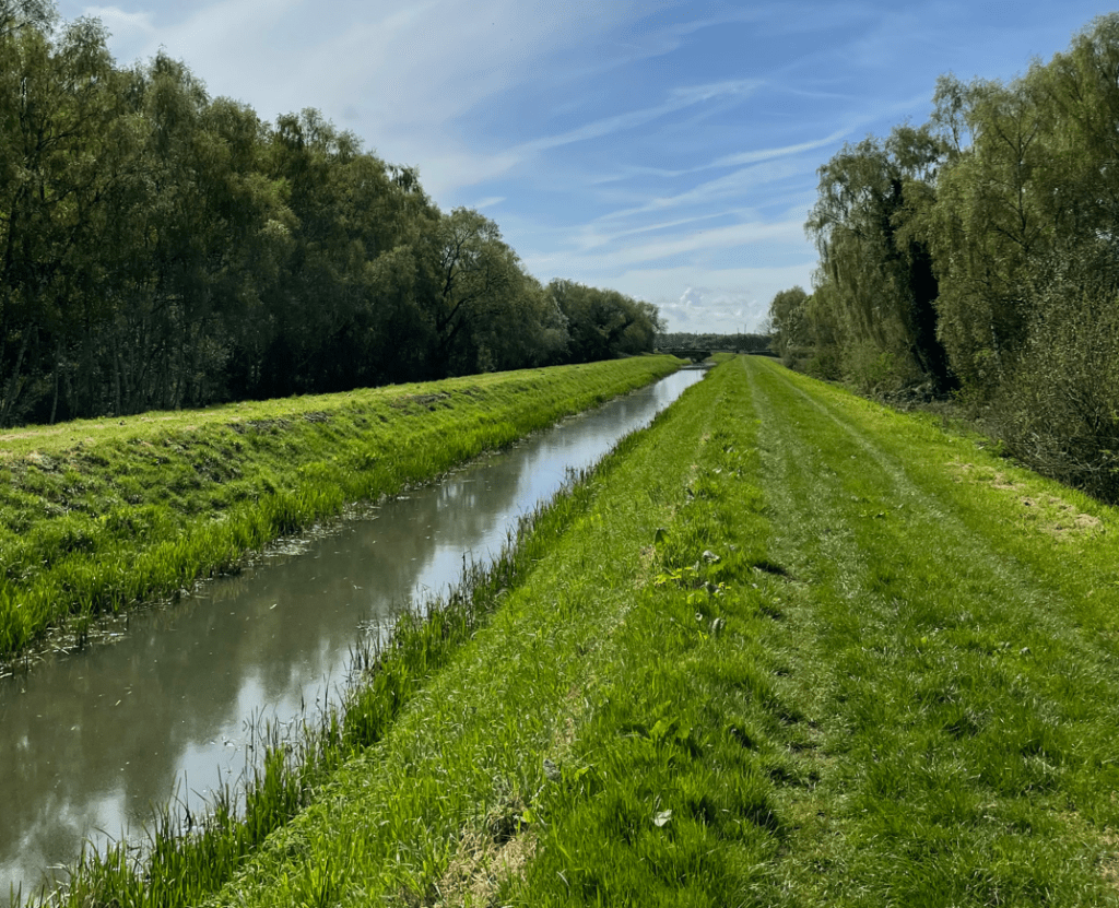
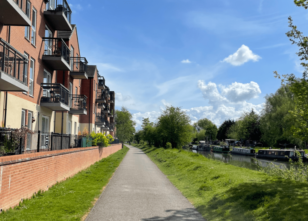
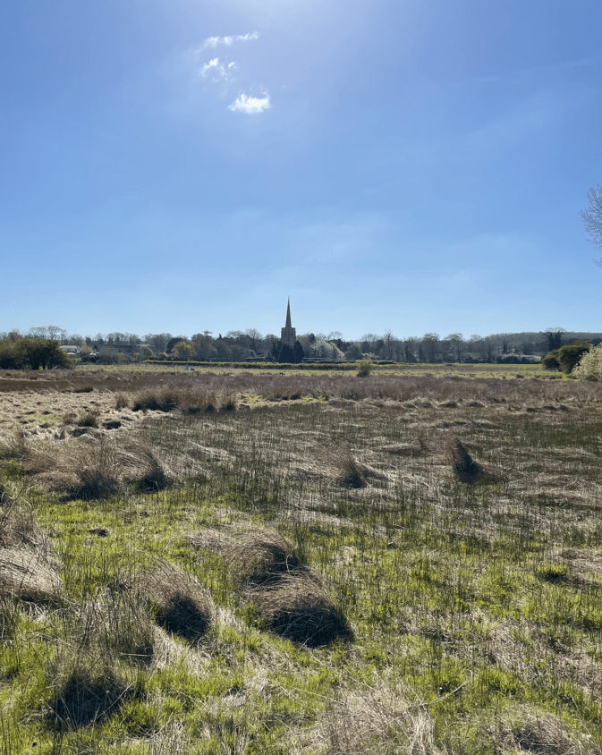
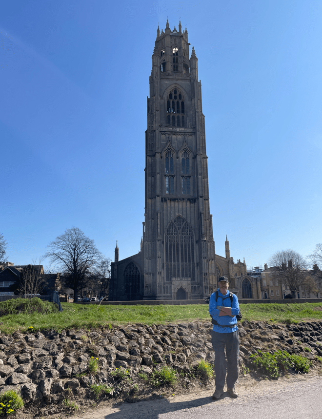
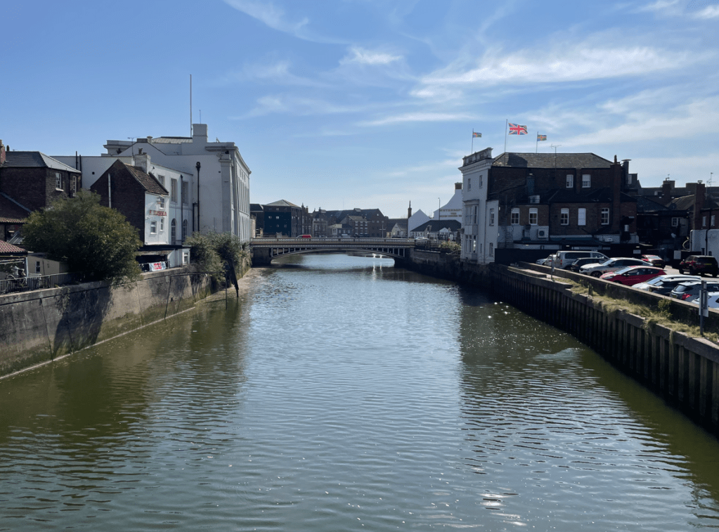
    The fine sunny April weather continues (will we pay for this in the summer I ask myself?) so today I decided to do a walk that I have been itching to do for a while now – A 7-mile circular walk from Boston town centre, beside water, along the Maud Foster Drain, the Frith Bank Drain and the River Witham. The last few miles beside the River Witham gave impressive views of Boston Stump – the tallest church tower in the country. Sometimes an itch just needs to be scratched!

    The river Witham and St Botolph’s Church
    The route

    Boston was once one of the greatest ports in England with a flourishing trade across the North Sea and Baltic. A slump in the wool trade and the silting up of the Witham caused it to decline in the 16th century. However, agricultural development of the drained Fens and subsequent dredging of the river led to its revival in the 18th and 19th centuries, and it still functions as a port today.

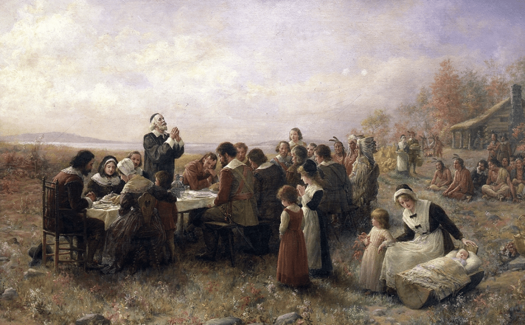
    Perhaps Boston is remembered most, as being home for the Mayflower Pilgrims, who sailed across the Atlantic in 1620, landing in New England and founding a new colony in Plymouth, Massachusetts. https://en.wikipedia.org/wiki/Mayflower

    The first Thanksgiving at Plymouth by Jennie A. Brownscombe
    Replica of Mayflower docked at Plymouth, Massachusetts

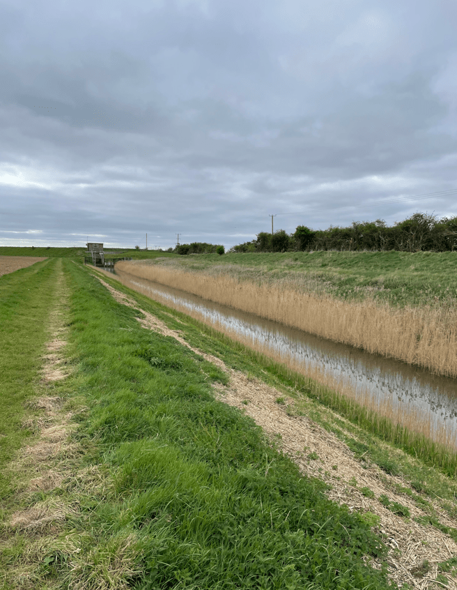
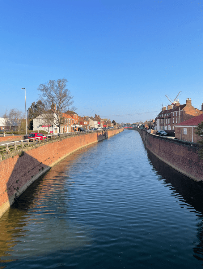
    With an early start, myself and Angela avoided the worst of the rush hour traffic and found parking in the former Cattle Market. We set off following the brick lined banks of Maud Foster Drain.

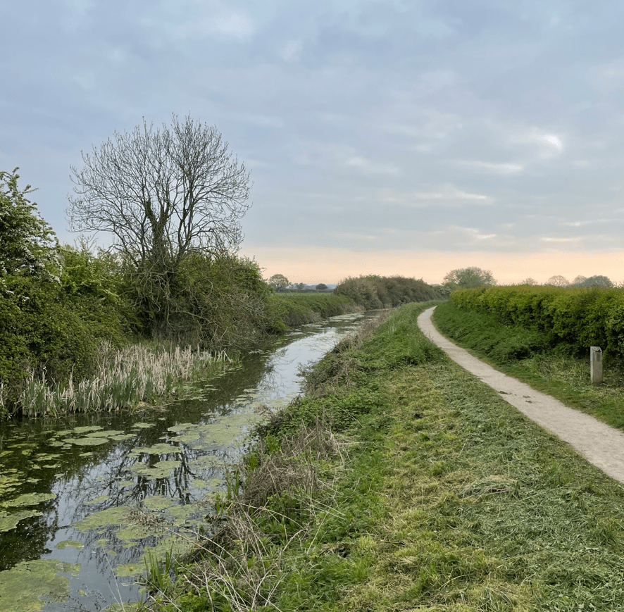
    Maud Foster Drain

    We passed Maud Foster Windmill, built in 1819, and the tallest working windmill in the country. It is unusual in having five sails. They were static the morning we passed by.

    Maud Foster Windmill

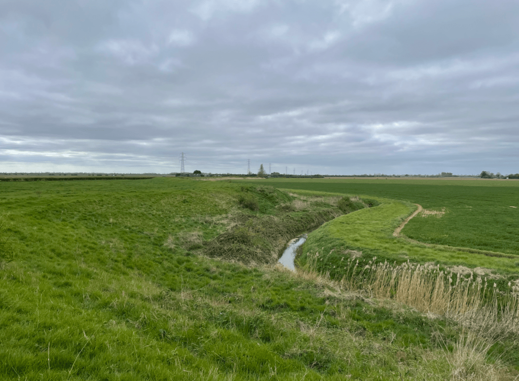
    Shortly, the brick-sided banks disappeared and we had a more open vista.

    Maud Foster Drain

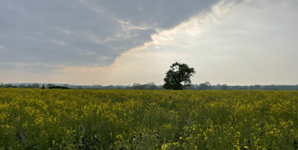
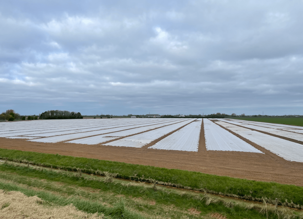
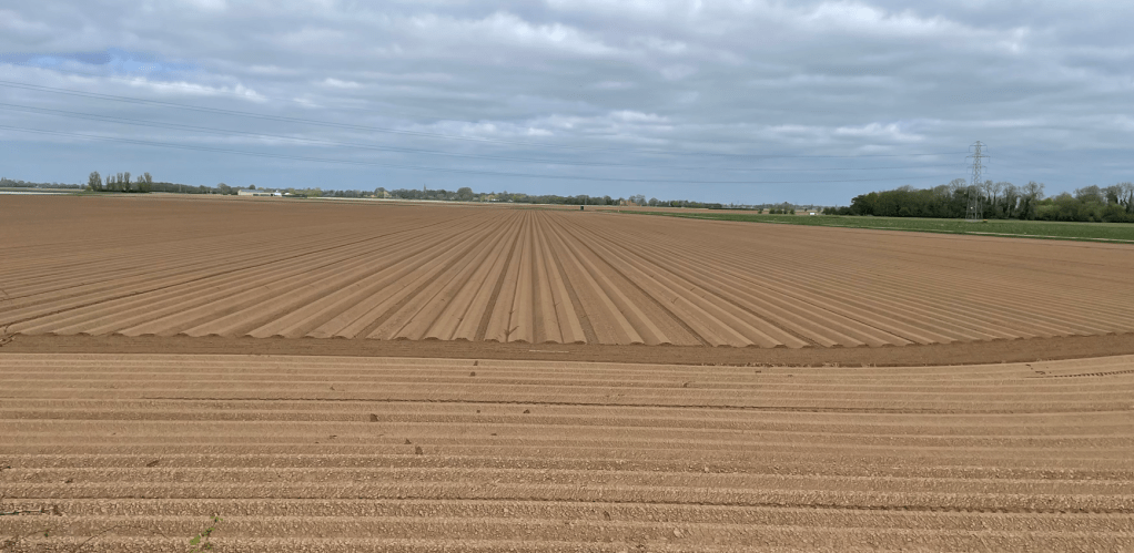
    To our right we saw fields covered in fleece to protect the crops from frost. We had seen many fields like this on our drive to Boston.

    Fleece lined fields

    Arriving at Cowbridge, a junction of five drains, we crossed a bridge over Frith Bank Drain and headed along the road beside Frith Bank Drain.

    Cowbridge Junction
    At Cowbridge
    View of West Fen Drain

    This road turned out to be much busier than we had expected – we thought it was probably due to another road closure in the area. The sun was working its magic and the temperature was rising so top layers were removed.

    We left the road, crossing a rickety footbridge over the drain and entered a woodland.

    Frith Bank Drain

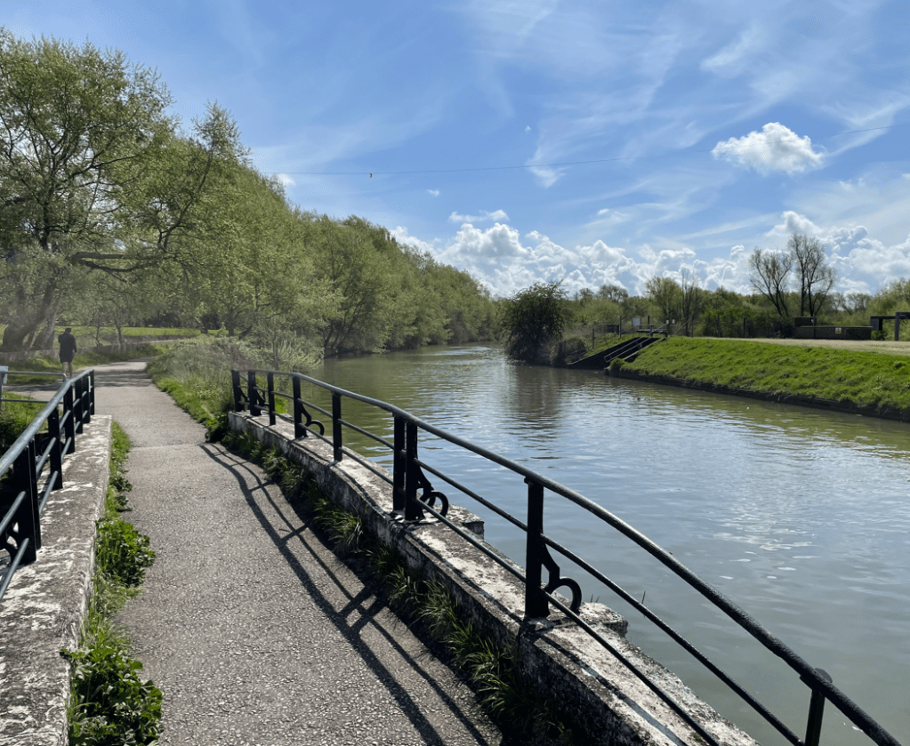
    A short walk through the woodland brought us to the River Witham – it is quite wide at this point.

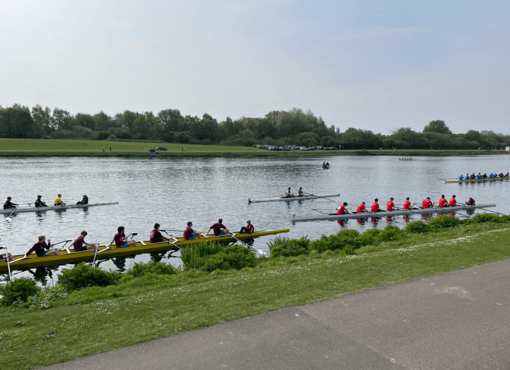
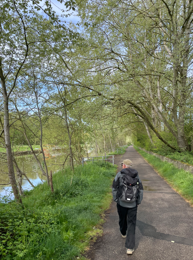
    We walked beside the river back into Boston. A chap who was volunteering at litter picking told us that this stretch of water is one of the straightest in the country and is used by the England Rowing team to train. We passed Boston Rowing Club as we walked further on. The Stump was clearly visible as was the Marina.

    Boston Rowing Club on the right hand bank.

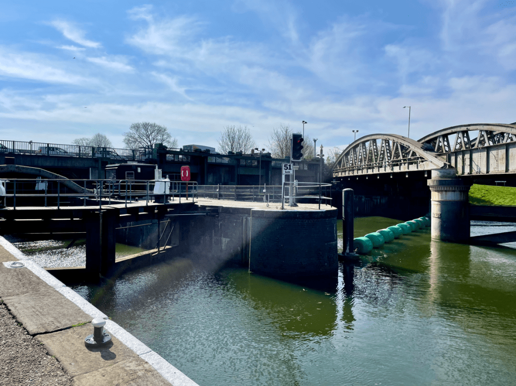
    We walked under the railway bridge and passed the Grand Sluice Lock – built in 1766 to prevent extensive flooding between Boston and Lincoln.

    The Grand Sluice and railway bridge

    Walking on we had fabulous views of The Stump – no one knows why it is called that. It took some seventy years to build and at least four architects, successively, were in charge. I thought it was a truly impressive building. Nicholas Pevsner in ‘The Buildings of England’ describes it as ‘the most prodigious of English parochial steeples’.

    We crossed the bridge over the river Witham to pay a visit.

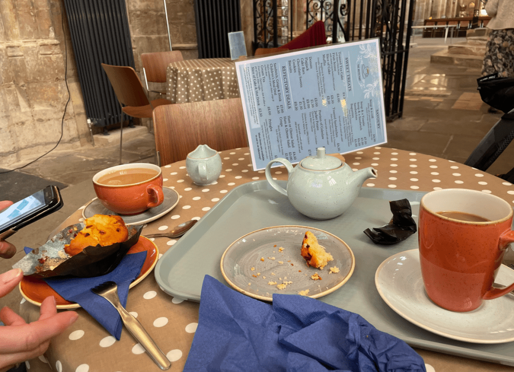
    First port of call was the coffee shop!

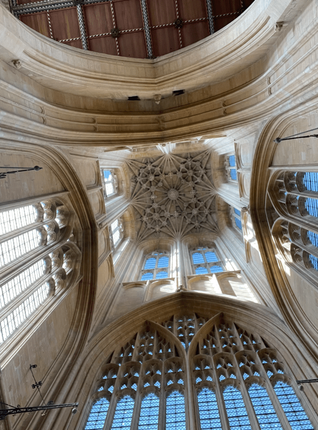
    Refreshed after a sit down and coffee we took a walk around St Botolph’s church. It’s a beautiful church full of light and good vibes. The coffee shop is situated directly under the tower but if you look up you see a vaulted ceiling and cannot see to the top.

    View inside The Stump.

    After viewing the church we walked through the busy town back to the car. I felt it had been a rewarding and enjoyable use of a sunny morning.

    Happy Walking! 😊🚶

  • Leicestershire Round leg 6- Glooston to Foxton.

    Apr 2nd, 2025

    Hello and welcome back to my blog 😊.

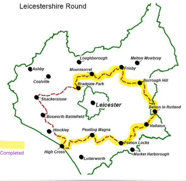
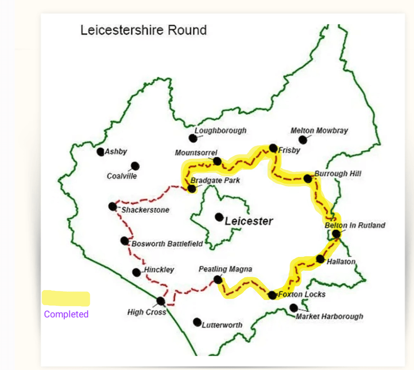
    Today was a Three Amigo walk on another leg of The Leicestershire Round -the 100-mile circular walk around the county of Leicestershire. We paused our efforts over the winter months because the paths would have been quite muddy. We had started at Bradgate Park last summer and we are doing the walk proceeding in a clockwise direction.

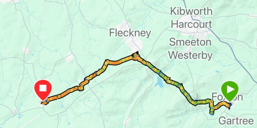
    We resumed our walking today at the village of Glooston and did a 7-mile walk to Foxton passing through Stonton Wyeville, Thorpe Langton and East Langton.

    We all met at St Andrews church in Foxton and took a car to our start at Glooston. It was a perfect blue sky morning but a tad chilly – Chris was in his shorts again!

    Things didn’t get off to a good start because I was looking at the map, and not where I was putting my feet, and tripped up on uneven ground and ended up on the floor – luckily my rucksack softened the fall. I think it was the great Arthur Wainwright who suggested you won’t go wrong provided you look where you are putting your feet. Lesson learnt!

    We crossed a few freshly ploughed fields and then some grassed fields where we admired the cute spring lambs.

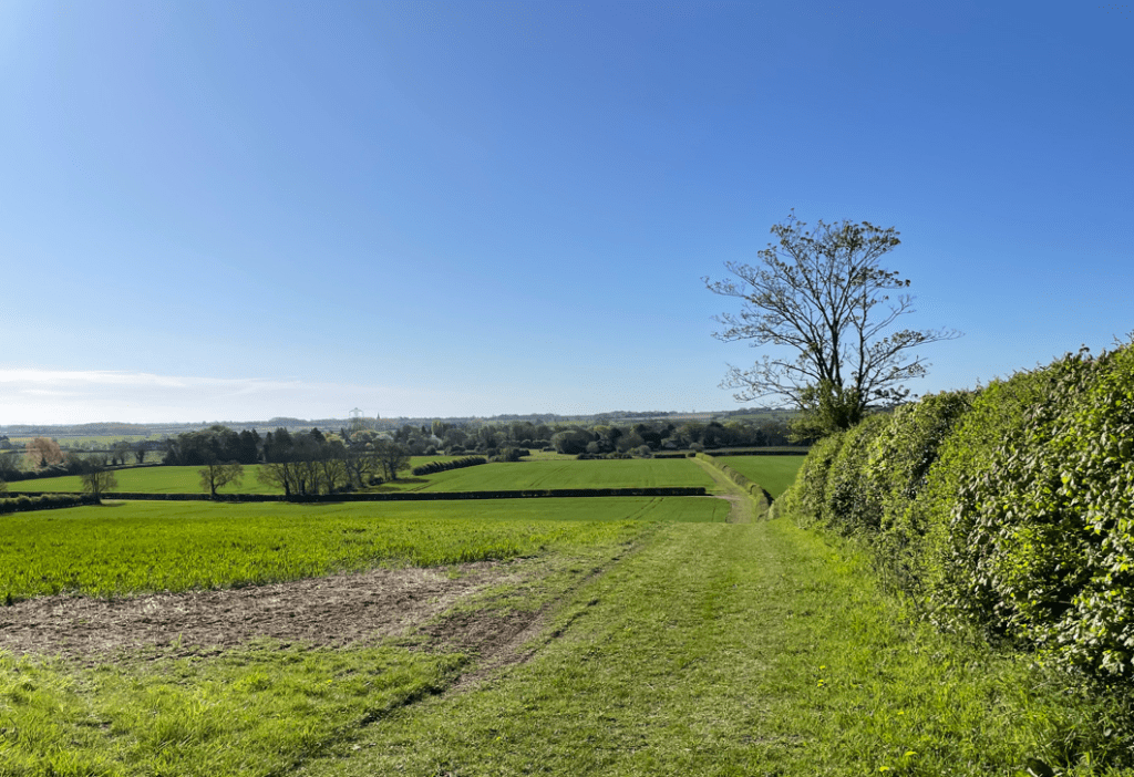
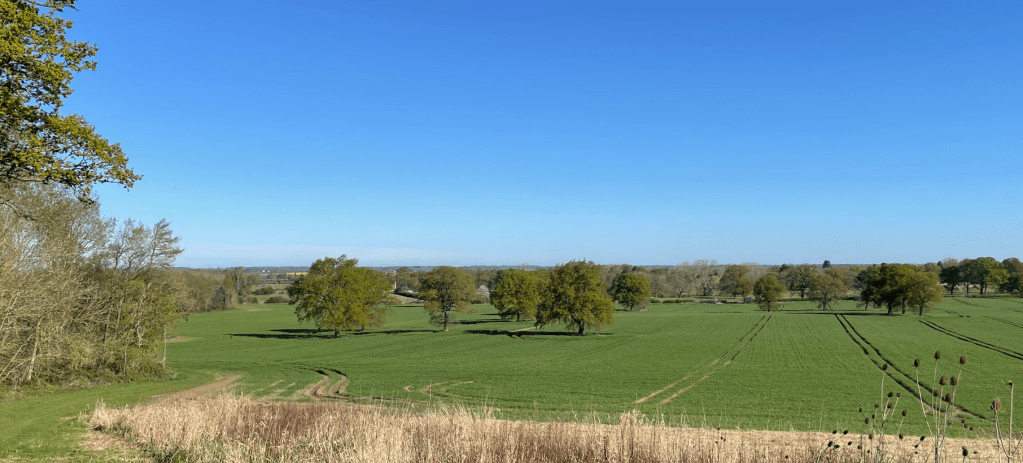
    Our route took us uphill to a trig point at 147m where we had panoramic views. It was worth the effort.

    Heading uphill

    We then descended a long sloping valley pasture to the spinney at the far end. Cattle graze on this pasture and there were plenty of deep holes where the cattle’s hooves had sunk into the ground during wet weather. Today the ground was mostly rock solid- it would have been a grim section in wet conditions. Still, it was challenging enough not to trip up in the ruts.

    We arrived into Thorpe Langton where we spotted a bench by St Leonards church and took a break. We were hoping that ground conditions might improve for the remainder of the walk.

    St Leonards at Thorpe Langton

    Mick commented that the cemetery didn’t have many graves – apparently there were no burials here until the middle of the 19th century because earlier it was a chapel to the mother church at Church Langton.

    Thorpe Langton

    As we left Thorpe Langton Chris pointed out the Ridge and furrow pattern on a field. This archaeological pattern of ridges and troughs was created by a system of ploughing used in Europe during the Middle Ages.

    Ridge and furrow

    Next, we passed a strangely situated stone pillar along the route inscribed ‘Lottery Feb 21st 1886’. Apparently it remembers a famous racehorse that won the first Grand National in 1839. It spent time at Astley Grange Farm Stud close by.

    Continuing on through fields containing well behaved cattle we passed under the railway bridge for the main Leicester to St Pancras line.

    Freight train loco

    Crossing the last few fields we were arriving into Foxton village where we crossed over the Grand Union Canal before shortly arriving at St Andrews church- our destination for today.

    The Grand Union Canal
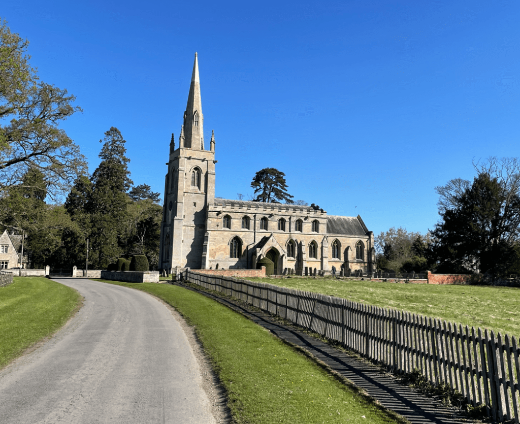
    St Andrews church, Foxton

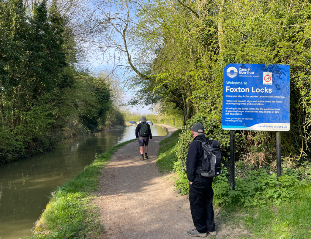
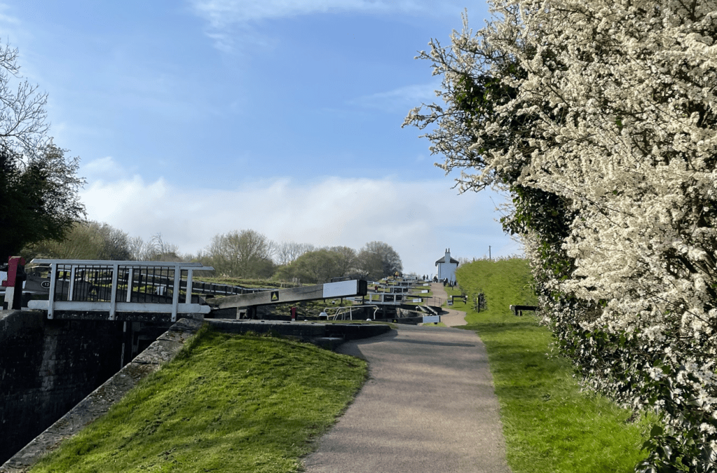
    Our next leg will take us from Foxton to Bruntingthorpe during which we will walk up the famous flight of locks at Foxton.

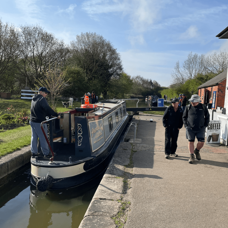
    Today was a perfect day for walking or taking a ride on a canal boat.

    Happy Walking! 😊🚶

  • A Solo Adventure: 10-Miles Through The beautiful Vale of Belvoir.

    Mar 29th, 2025

    Hello and welcome back to my blog 😊.

    Today I enjoyed a 10-mile circular walk taking in the Grantham Canal and the villages of Plungar, Stathern and Harby in the picturesque Vale of Belvoir.

    View from a high point across the Vale of Belvoir
    My route

    It was a blue-sky sunny morning as I sent off along the grassed towpath from Stathern Bridge heading for Plungar. There were a couple of things niggling me when I thought about the route.

    The first was, would there be any cows in the fields, because I have noticed that there were some cows in fields again. They can be particularly feisty after being released from winter quarters. The second was would the final steep climb from Stathern Woods onto the escarpment be dry, because if it was wet, it would be treacherous and I was solo walking today.

    Along the towpath I came upon a memorial to the fallen crew of a Lancaster bomber which suffered engine failure after returning from a mission mine-laying. Sadly, all the crew, apart from one, perished on that fateful night.

    It was a nice peaceful walk beside the canal. Coots and Ducks were enjoying the water.

    Leaving the canal I passed through the small village of Plungar and followed the lane to reach fields that would take me to Stathern Woods. The escarpment was clearly visible now.

    The woods were quite boggy in places as I walked through. This is not boding well I thought. However, the higher I got the less water there was and when I reached a steep section it looked passable.

    Through the woods
    Getting steeper

    Picking my way up the steep section I was very surprised to find to find evidence that someone had ridden a horse downhill! I could see the marks where the horse’s hooves had slipped. That must have been a hair-raising ride.

    At the top of the escarpment I joined the Jubilee Way for a while. The views would have been better if there were less trees but I could still see for miles.

    Next I headed downhill, via Tofts Lane, into Stathern.

    Tofts Lane

    Arriving into Stathern I headed for the village shop for a Latte hit and a bacon & egg bap. I have visited on other walks and its a nice spot for a break.

    Feeling refreshed after the break I made my way through the village past the church admiring the honey coloured Ironstone blocks used in the construction.

    St Gulthlac’s church, Stathern

    Leaving Stathern my route took me across multiple fields and stiles. Thankfully there were no cows to worry about😊. Luck was with me today.

    Walking into Harby I passed the Millenium sign and headed for the canal passing St Marys church.

    St Mary’s church, Harby

    A short walk along the towpath brought me to Stathern Bridge once again. A coffee vendor was selling coffee from a van. It was indeed my lucky day- time for another Latte!

    Happy Walking! 😊🚶

  • Three Amigos’ Walking Adventure in Nottingham

    Mar 26th, 2025

    Hello and welcome back to my blog 😊.

    This morning the Three Amigos took a bus into Nottingham to enjoy a 10.7-mile circular walk from Trent Bridge, along the Nottingham and Beeston canal to reach the river Trent, then back along the river to Trent Bridge. It is fair to say that we all thoroughly enjoyed this walk by water.

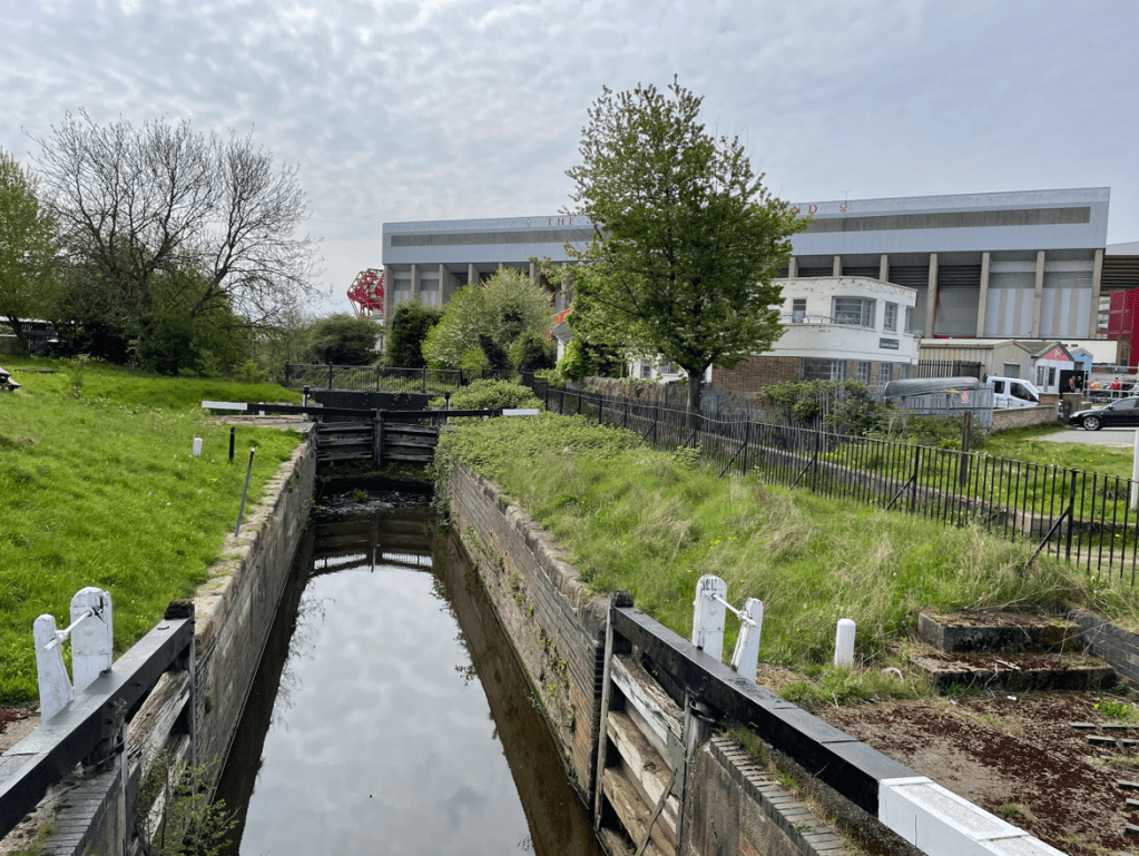
    Nottingham Forest Football club stadium by the river
    Our route

    As we arrived in Nottingham, at Trent Bridge Cricket Ground, we found that mist was developing -this was disappointing because we had been expecting sunshine! It was the first Three Amigo walk for quite a few weeks. Chris had donned his shorts – myself and Mick wondered whether this was a little rash given the morning chill in the air? Chris assured us that he was a tough cookie and not a wimp like us! Well, what can I say.😊

    Trent Bridge Cricket ground
    Chris and Mick crossing Trent Bridge
    Trent Bridge

    We crossed Trent Bridge then headed down the embankment to join the start of the Nottingham and Beeston canal. We wondered when/if the mist would lift? The Forest ground was still shrouded in the mist. Opposite the Stadium was the entrance to the canal.

    Joining the Nottingham and Beeston Canal

    The canal was built to bring coal into the city from the mines scattered around the Nottinghamshire and Derbyshire border. We took the wide towpath, noting that there were plenty of Canadian geese enjoying the canal. The mist was starting to clear 😊.

    I particularly liked the amusing artwork on a wall by the canal.

    We were heading past beautiful old warehouse buildings side by side with modern new developments. I know which ones I prefer! (The old, since you asked)

    Old Fellowes Morton & Clayton depot

    The impressive Fellows, Morton and Clayton depot was property of that Company – it operated the largest fleet of barges and narrowboats in the country. This building had its own built-in dock on the ground floor – it’s now a popular nightspot.

    Castle Wharf

    Castle wharf has a view of Nottingham Castle on the hill- hence the name.

    Nottingham Castle

    Some of our views looked distinctly Victorian.

    Soon we passed a Marina and spotted a Swan sat on it’s nest. Can you see it?

    We were heading out of the city now and into the suburbs. There were quite a few cyclists and runners along the towpath – probably because it is close to the University. We even saw a number of individuals paddle boarding – I wouldn’t like to fall in the canal!

    Mick and Chris putting the world to rights.

    It was amazing how quickly our vista changed from urban to rural.

    To our right was the large Boots factory and we soon arrived at the river Trent where stopped to look at the weir. Chris related the tragic tale of a young man who had died whilst trying to rescue someone who had fallen in. There was a memorial to the incident at the Weir.

    Weir on the river Trent

    Following a path by the river we passed the Sports grounds of Nottingham University – very impressive.

    The river Trent

    The rural embankment changed to concrete after a while -we were approaching the city.

    A trip boat passed us by and it was full of passengers.

    We reached Victoria Embankment and crossed the river via the lovely pedestrian bridge – Wilford Suspension bridge. There was a slight bounce as we walked across.

    View from Wilford suspension bridge towards Trent bridge

    The trip boat passed us by on it’s return leg.

    Shortly we arrived back at Trent Bridge and made our way to the bus stop.

    It had been a great walk, if a tad chilly at times. I had particularly enjoyed seeing the old warehouses along the canal you can’t beat a bit of heritage!

    Happy Walking! 😊🚶

  • A Castle and a Canal – A nice day out.

    Mar 21st, 2025

    Hello and welcome back to my blog 😊.

    Today, I enjoyed a 8-mile circular walk from ‘The Duck’ pub at Woolsthorpe-by-Belvoir. The walk took me along the tranquil Grantham Canal and then up to Belvoir Castle (curiously, pronounced beever by locals) where I admired the views. Walking through fields to the village of Woolsthorpe I headed steeply uphill again, enjoying glorious views of the surrounding countryside. Finally, I dropped down to the canal again and a short walk brought me back to the pub.

    Majestic Belvoir Castle

    It was an overcast morning as I set off along the grassed section of towpath of the half-mile pound between locks 15 and 16. Half way along I met an angler who was just setting up his kit for a days fishing – I wished him good fishing!

    The half-mile pound

    It will be nice when the trees are full of leaves once again – they look quite bleak without.

    Along this stretch I noticed that the offside bank had deposits of silt on it – evidence of the Grantham Canal Society removing silt from this stretch of Canal. I passed a couple of dogs walking their humans and upset a few ducks who weren’t expecting anyone to be walking along.

    Stenwith bridge

    A couple of restored locks were passed along the way.

    The towpath changed from grass to stone as I headed for Longore bridge, crossing the Lincolnshire/ Leicestershire border – no passports required 😊.

    Stone towpath

    A couple of Swans were nest building in the reeds- it will be interesting to come back later on in the year and see the new arrivals.

    At Muston Gorse bridge I left the towpath, passing the remains of The Dukes Wharf. A tramway connected the Canal to Belvoir Castle from 1815 for many years taking coal and other supplies up to the Castle. The Wharf was recently ‘found’ again by the Grantham Canal Society who are now crowdfunding to restore the wharf and weighhouse. https://www.crowdfunder.co.uk/p/gcsweigh-house

    The Dukes Wharf

    My route now took me along roads to reach Belvoir and the Castle -joining the ‘Cross Britain Way’.

    It was starting to get slightly brighter at this stage with the odd glimmer of sun. The Castle looked magnificent in its dominant position.

    I passed through grassed fields, some containing sheep who were most curious about their visitor today.

    Crossing the River Devon I made my way into the village passing through the carpark for ‘The Chequers’ pub on the way to a steep climb uphill.

    The Chequers pub

    Looking back, whilst catching my breath, the village and Castle provided a quintessentially English view.

    At the top I picked up The Viking Way and headed downhill towards the canal, enjoying the views.

    The final stretch was as easy walk along the towpath to Woolsthorpe bridge.

    Woolsthorpe bridge

    As always, the walk had been great. There is no better way to boost the spirit or get some exercise.

    Happy Walking! 😊🚶
  • A Beautiful Circular Walk Around Denton and Harlaxton

    Mar 17th, 2025

    Hello and welcome back to my blog 😊.

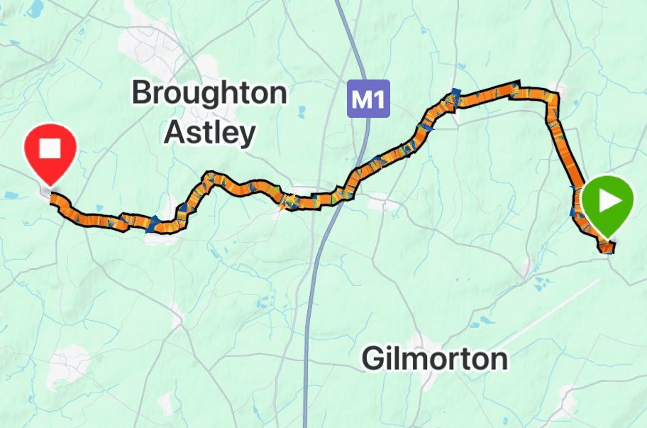
    Today, myself and Angela enjoyed an 8-mile circular walk starting in Denton village and going to Harlaxton village- where we joined the Grantham canal, followed by a visit to the tranquil Denton reservoir, before arriving back to the start.

    It was a bright sunny morning, although chilly once again, as we set off looking forward to a nice walk (we were not disappointed). Walking through Denton we passed St Andrews church. Like many villages in this area the church and many houses are build using Ironstone and have a lovely light brown colour.

    St Andrews church, Denton

    Having looked at the church we continued through the village eventually leaving via fields, crossing a wooden bridge followed by many more fields to arrive at the outskirts of Harlaxton village. However ,we wouldn’t be heading for the centre just yet, we were heading out again and uphill to enjoy views back.

    Leaving Denton village
    We are headed towards the ridge
    Heading uphill from Harlaxton

    As we moved closer to the top we passed through a field containing some lovely placid horses. We stood for a while admiring the view.

    Looking down at Harlaxton village

    After crossing another field and climbing up a metal ladder (you don’t see these very often) we met a road. An easy walk downhill brought us back into Harlaxton.

    The ladder to the road

    Walking into the village we were intrigued by the unusually tall chimneys.

    We noted that a couple of houses had an unusual canopy/extension.

    We paused at the green by the obelisk (remains of the village cross) and had a cuppa.

    The Obelisk in Harlaxton

    Perhaps the most outstanding thing in Harlaxton is the Manor – a Victorian built house currently owned by the University of Evansville. The manor was built in the 1830’s by local businessman Gregory Gregory – the local pub is the Gregory Arms. The Manor opens to the public on certain days of the year and its definitely on my ‘must visit’ list.

    Harlaxton Manor

    Continuing through Harlaxton we reached Harlaxton Wharf on the Grantham Canal. We joined the towpath and headed for Denton Wharf.

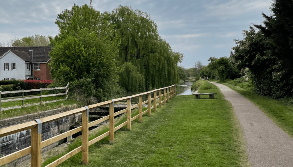
    The Grantham Canal
    Harlaxton Wharf

    Harlaxton Wharf was much quieter today than on another occasion!

    We enjoyed a very peaceful walk along the towpath (meeting nobody) eventually reaching Denton Bridge.

    Denton bridge

    We crossed the bridge and took tracks / road to reach Denton reservoir. This reservoir was built specifically to supply water to the canal and its a lovely spot to sit and contemplate. We took another break here sat close to the water admiring the swans and geese. The clouds were gathering.

    Denton reservoir

    We took a walk around the perimeter of the reservoir and took a track leading back to Denton village. We had thoroughly enjoyed the walk. My favourite bit was the placid horses.

    Happy Walking! 😊🚶
  • Weathering the Elements: A Walk Through Carlton Scroop

    Mar 13th, 2025

    Hello and welcome back to my blog 😊.

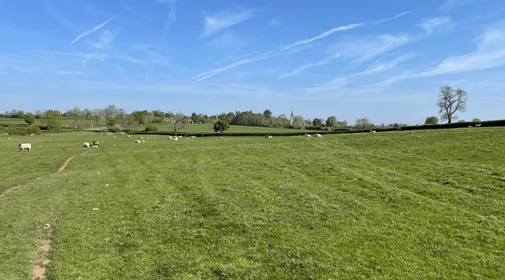
    Today, myself and Mick enjoyed a 10.5- mile circular walk from Carlton Scroop to Marston and back again. I had done some of the route previously, but it was a new route for Mick.

    Mick parked the car outside the church of St Nicholas – a grade 1 listed Norman church- in the small Lincolnshire village of Carlton Scroop. When we go walking we usually find that the local church is a good spot to get parking.

    It was a chilly day once again. Rain was forecast for later in the morning so we had an early start to try and avoid the rain.

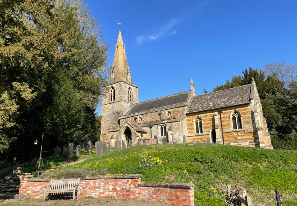
    The church of St Nicholas, Carlton Scroop

    We left the village via field paths and could see a tall mast on the hillside. It is a microwave tower that was part of the cold war emergency communications system , ‘Backbone’.

    The communications tower on the hillside
    Mick striding out

    As we were at a height we appreciated nice views across the distant fields. The clouds in the sky looked ominous though.

    We reached a road and walked downhill to reach a farm track – we had joined the Viking Way, a long distance trail running 147 miles from the Humber bridge to Oakham in Rutland. We come across the trail quite often when we are out walking.

    A nice downhill section

    Our path took us along Frinkley Lane passing a wind turbine – it was interesting to see that the lower sections had been painted in graduated shades of green to blend in with the landscape – I’d not seen this before.

    Continuing past Frinkley farm we crossed the very busy west coast main line and followed the lane into the village of Marston. As usual there were very few people visible on the trains.

    We crossed over the river Witham and then stopped for a break at a handy bench.

    River Witham

    We left Marston passing by the smelly sewage works and entered wide fields. The clouds overhead were getting darker.

    Our undulating route took us up and down hills a few times and then the rain started. Rain turned into hailstones which were very unpleasant when they hit our face’s.

    Imminent rain

    Thankfully, the shower only lasted about 15 minutes, but it was enough to give us a good soaking. Feeling damp, we strode across the remaining fields getting muddy boots. The sun was out again!

    Near the finish

    We had enjoyed a nice walk meeting very few people on our journey. Although it has rained, we both felt it could have been much worse and we had got away lightly.

    Happy Walking! 😊🚶
  • A 5-Mile Adventure: Cropwell Bishop to Owthorpe Walk

    Mar 11th, 2025

    Hello and welcome back to my blog 😊.

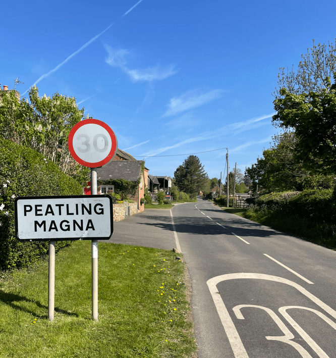
    Today I met up with Chris and we enjoyed a 5-mile circular walk from Cropwell Bishop to Owthorpe and back, crossing fields, country lanes and along the towpath of the Grantham Canal.

    The morning was much colder than our recent weather, which was a shock to the system. I had got used to the brief mild spell we had been blessed with last week.

    Arriving at the Cropwell Bishop Memorial Hall car park I noted that Chris had arrived early and was busy getting his boots/gaiters on. Watching Chris getting the gaiters on is usually good for a laugh as he struggles with the buckles and there is a good deal of huffing and puffing going on! 😊

    Starting point

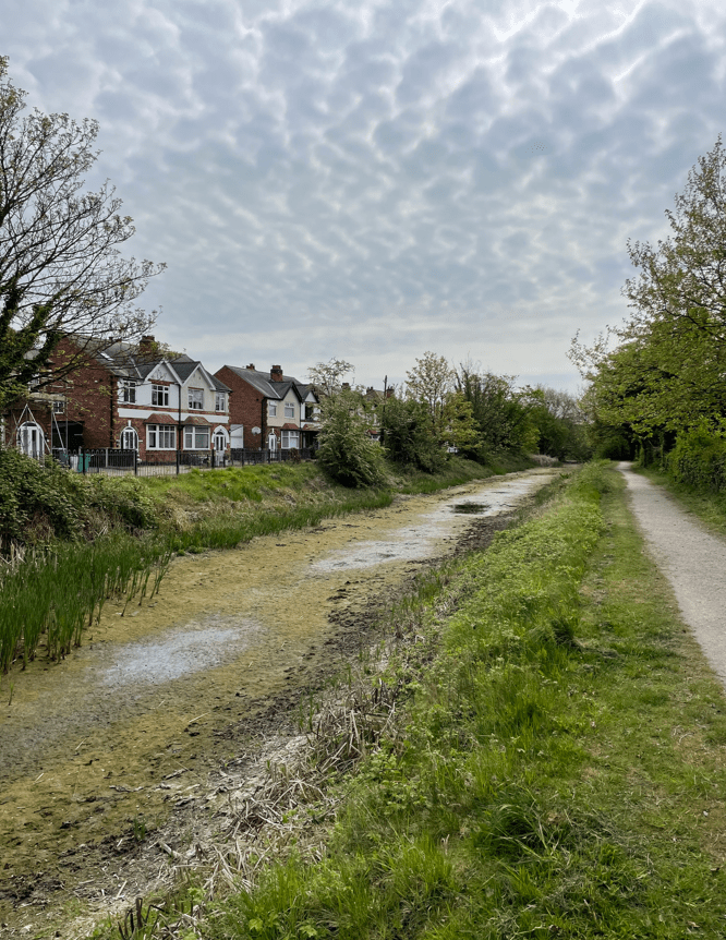
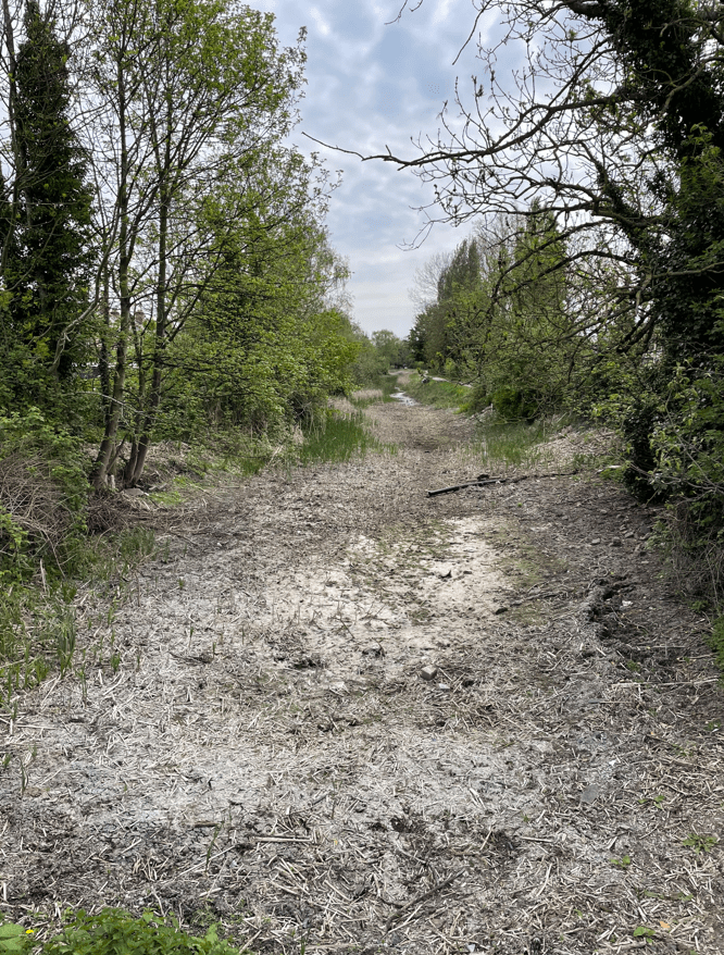
    Eventually, we set off up the road and joined the towpath of the Grantham canal. This section of the canal is dry.

    The dry bed of this section of the Grantham canal

    The section leads to a bridge which at one time used to be a roving bridge – unfortunately it has been removed to make way for a road. To a canal enthusiast, these are interesting bridges and were designed to enable a horse to change to the towpath on the other side without having to unhitch. Clever stuff!

    A roving bridge

    Leaving the towpath we joined a wooded footpath running beside the road with distant views of the Cropwell Wolds. Soon we crossed a stile and passed through a farmyard leading to open fields.

    Open fields and the obvious path

    We passed across a ditch via the wooden planks – carefully checking that they were not rotten!

    We passed some fish ponds and headed uphill across another field to St Margaret’s church.

    The fish pond
    St Margaret’s church, Owthorpe

    In the churchyard there was a bench so we had a break here, enjoying the peace and quiet. Blossom was on the trees. Chris pointed out that the clock had an unusual wooded face. The clock was installed in 1680 and was built by Richard Roe of Epperstone.

    Leaving the church we passed another fish pond. Before it burnt to the ground in a fire in the late 1820’s Owthorpe Hall was located nearby. It was the seat of the Hutchinson family. One member was Colonel John Hutchinson who was a politician and military leader (a Roundhead) – he was one of the people that signed the death warrant of King Charles 1. He also had the fishponds dug to supply fish for the Hall.

    Another fish pond.

    Joining a country lane we walked past a very impressive wedding venue at Oddhouse Farm that had been build in a barn.

    Passing the venue we re-joined the Grantham Canal and set off along the towpath. There was some water in the canal and while Chris was looking at the canal he saw something move in the shallow water – it was a frog! As we turned to go I spotted another frog on the towpath – it was good to see the wildlife.

    After a stretch along the canal we left the canal and followed a path up Blue Hill and headed towards Cropwell Bishop.

    View towards Cropwell Bishop from Blue Hill

    Crossing a few more fields we arrived at Cropwell Bishop. Cropwell takes its name from the Danish ‘Kroppr’ or early English ‘Crop’ for the outcrop of nearby Hoe Hill. The Bishop bit was added in the 10th century when the land was given to the Bishop of York. We passed the church of St Giles which was built in 1215.

    St Giles church Cropwell Bishop

    Further on we passed the creamery where the world famous Cropwell Bishop Stilton cheese is made.

    The Cropwell Bishop Creamery shop

    Historically, Gypsum was mined at Cropwell Bishop and made use of the canal as a means of transport. These old warehouses are still standing.

    Arriving back at the car it was clear that Chris didn’t need his gaiters for this particular walk – it had been mud free!

    Happy Walking 😊🚶

  • A Day Out in Colston Bassett and Kinoulton: Nature Walk Insights

    Mar 4th, 2025

    Hello and welcome back to my blog 😊.

    The Three Amigos met up today and enjoyed a 6.5-mile circular walk in the Vale of Belvoir, along the Grantham Canal (under restoration), along quiet country lanes, across fields and through the quiet villages of Colston Bassett and Kinoulton.

    It was a sunny blue sky day and we were looking forward to a great walk. We parked in a lay-by close to the canal and began our walk walking along the towpath. We passed a very dodgy looking wooden footbridge across the canal – I wouldn’t fancy my chances on that!

    A rickety bridge

    After about a mile we left the canal and walked along quiet country lanes rising gently to to bring us to the ruins of St Marys church, close to Colston Bassett.

    We took a look inside and learnt that every period of medieval architecture is on show -Norman, Early English, Decorated and Perpendicular.

    Colston means homestead (or ‘ton’) of someone called ‘Col’, possibly a Danish leader long before the Norman Conquest. ‘Bassett’ is a family name – a wealthy Norman family possessed large estates including the manor of Colston.

    After looking around the ruins we set off again, heading towards the village of Colston Bassett. On the way we glimpsed the fine Colston Hall through the trees.

    Arriving into the small village we walked past the church and village cross to find our path lying on the far end of the village.

    Village cross in Colston Bassett

    We headed across muddy fields towards the village of Kinoulton- there were some murmurings within the ranks about the mud, but no mutiny! 😊

    After a struggle with the mud we were delighted to arrive into Kinoulton and see the most wonderful display of crocuses on the village green. Spring is definitely in the air! Taking advantage of a couple of seats by the green, it was a perfect spot for a break.

    Kinoulton village green

    I do enjoy looking at the village signs which usually depict things of importance to the village. In this case the Grantham canal and a row of poplar trees (the significance of which will be revealed shortly)

    Walking on through the village we picked up the Grantham canal once again and set off along the towpath.

    The Grantham canal at Kinoulton

    As we reached Irish Jack’s bridge we read the board that explained the row of Lombardy poplar trees leading up the hillside at Vimy Ridge Farm. Previously named Pasture Hill Farm, it was renamed by Sir Jesse Hinde in memory of his son Francis who was killed at the Somme in 1916. The avenue is comprised of 184 trees to commemorate Francis and 183 other members of his regiment – the Sherwood Foresters-who died between July and November during that dreadful battle.

    Lombardy poplar trees at Vimy Ridge Farm

    Continuing onwards, enjoying the sunshine and the swans gliding along the canal, the miles slipped past effortlessly and we were soon arriving back at our cars.

    We had loved the walk and especially the sunny weather. For me it illustrated the joy of the unexpected -in this case, the ruined church and the beautiful spring crocuses. You never know what you will come across on a new walk. Till the next one.

    Happy Walking! 😊🚶
  • Enjoying a 10-Mile Walk from Syston to Marston

    Feb 28th, 2025

    Hello and welcome back to my blog 😊.

    Sunshine was forecast for today and I was definitely up for a good walk. After scraping the ice off the car windscreen I headed out to drive the few miles to my starting point in Syston village. Unfortunately, I encountered a traffic jam on the A607 and, after not moving for 5 minutes, I did a U-turn and parked in the village of Belton. The delay turned out to be a road traffic accident. The Fire Brigade, police and an ambulance were in attendance as I walked past. I hoped the injured party was ok.

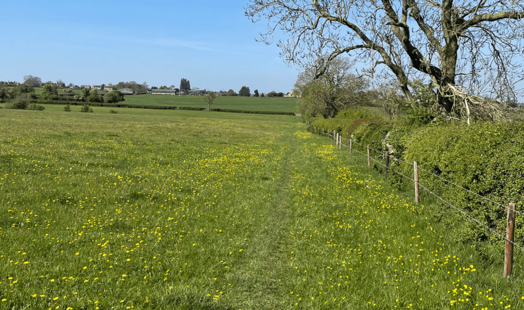
    My plan was to do a circular walk from Syston to Barkston then to Marston and back. I had seen that the Vale of Belvoir ramblers had recently blogged this walk and I liked the look of it. As I walked through Syston the sky was blue and there was a smattering of frost on the ground.

    St Marys church, Syston

    It is a short walk from Syston into Barkston.

    Barkston village green

    After walking through Barkston, admiring the fine stone houses, I found the footpath I needed and headed across a couple of fields. I was soon on a wider track that passed under the Grantham to Skegness railway line. As I avoided the puddles of water I noted that there was a thin layer of ice on them.

    Railway bridge

    After passing under the bridge I walked beside Honington Beck, a tributary of the river Witham, which it joined after a few hundred metres.

    Honington Beck

    My route continued across grassy fields. I met a chap walking his dog and had a chat.

    The sun was shining and do you know, it had some heat in it. I was loving it! Passing beside the river Witham for a while, I reached another railway bridge – for the East Coast main line, just as train was crossing.

    River Witham

    As I approached the tunnel I got the whiff of sewage in the air – there was a large sewage works on the other side! I noticed a sign that said the water company had spent £19 million upgrading the plant, which is good, but why the smell? Walking past quickly, I continued along the track to arrive in Marston village.

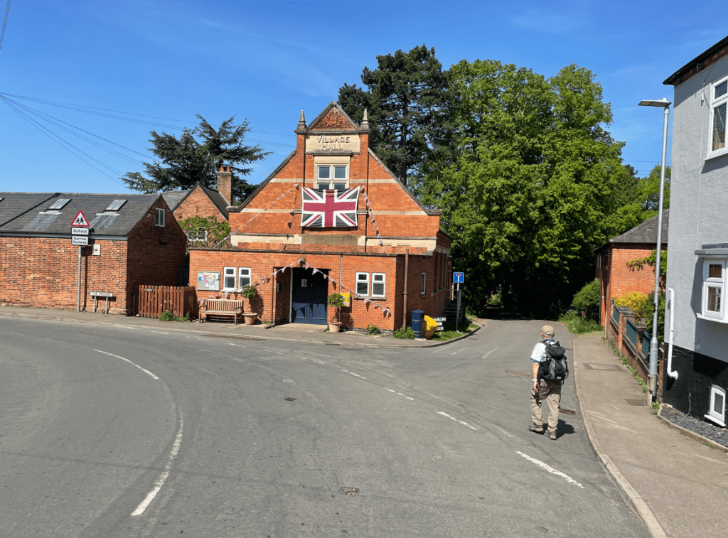
    I was looking for a bench to take a break. I passed a fine Victorian school building.

    I found a bench in a quiet spot and tucked into my usual scotch egg / coffee combo. Continuing walking through the village I crossed the river Witham.

    After passing the village hall I took the track running through muddy fields that took me to a level crossing on the very busy main line. I was doubly careful to check for trains before crossing.

    My route took me gradually uphill and when I reached the top I took in the nice views. Crossing fields, I would soon be heading down again.

    I came across a group of Ramblers who were taking a break so said hello. They were happy with the fine weather.

    Taking care on slippery muddy sections I wound my way back into Barkston, through Syston village and into Belton village. There was no sign that there had been a RTA earlier -just a few granules of oil absorbent on the side of the road.

    Checking my OS App I had walked 10 miles. It was a perfect walking day.

    Happy Walking! 😊🚶

←Previous Page
1 … 7 8 9 10 11 … 20
Next Page→

Blog at WordPress.com.

Loading Comments...
  • Subscribe Subscribed
    • My Walking Journeys
    • Join 65 other subscribers.
    • Already have a WordPress.com account? Log in now.
    • My Walking Journeys
    • Subscribe Subscribed
    • Sign up
    • Log in
    • Report this content
    • View site in Reader
    • Manage subscriptions
    • Collapse this bar