Skip to content

My Walking Journeys

  • A 10-mile circular walk from Long Bennington and a visit to see Alpaca’s.

    Apr 18th, 2024

    Hello and Welcome back to my blog 😊.

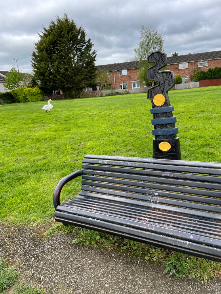
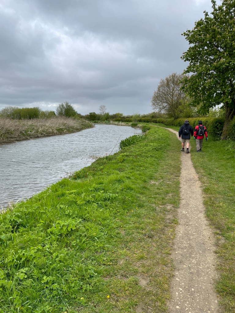
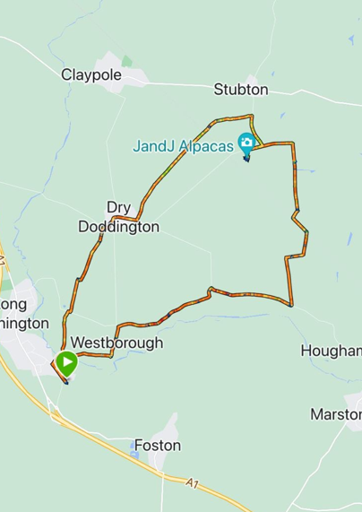
    This morning the Three Amigo’s met up and did a 10.8 mile circular walk starting in Long Bennington and taking in the Lincolnshire villages of Westborough and Dry Doddington.

    The highlight of the walk was a visit to the cafΓ© at J and J Alpacas. https://visitalpacas.co.uk/visit-us/

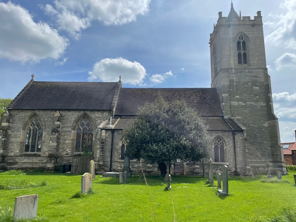
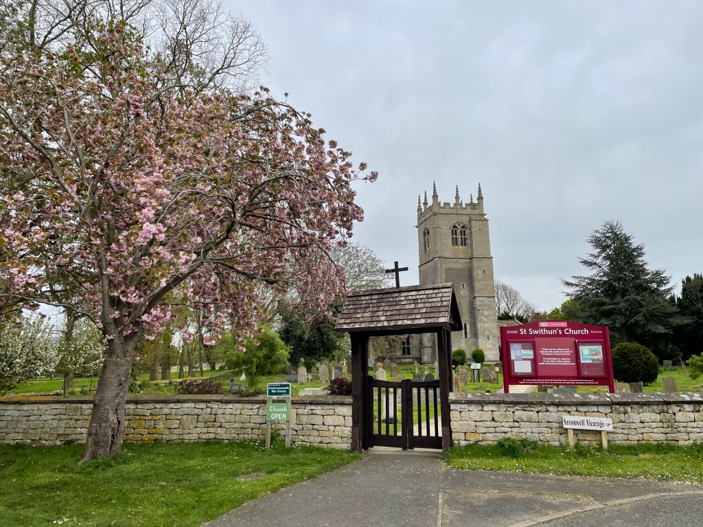
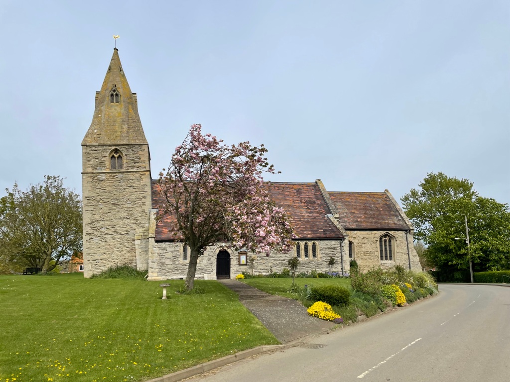
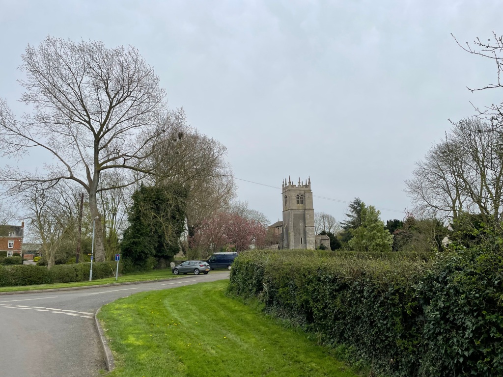
    It was a sunny but chilly morning when we met up outside St Swithun’s church in Long Bennington. We were most grateful that it was a sunny and dry day for once.

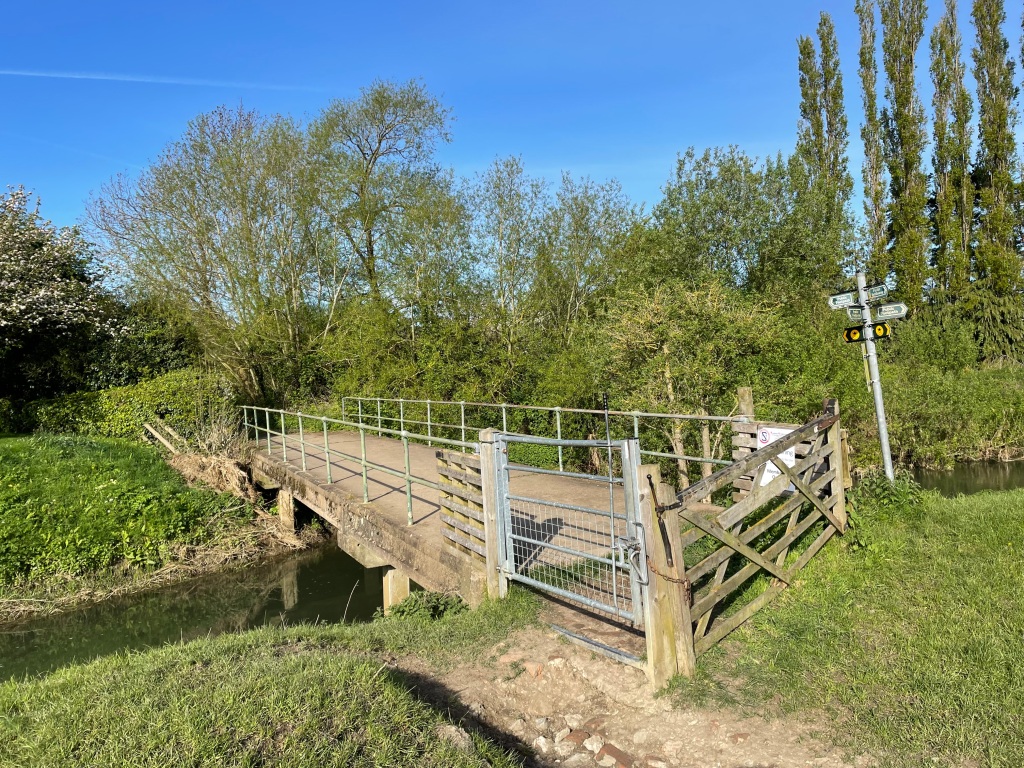
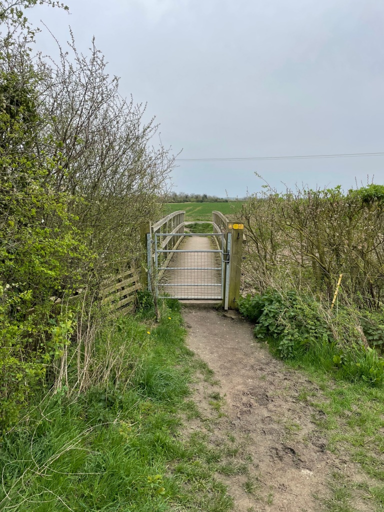
    We set off following the Viking Way towards the picturesque village of Westborough, crossing a bridge over the river Witham followed by a few green fields.

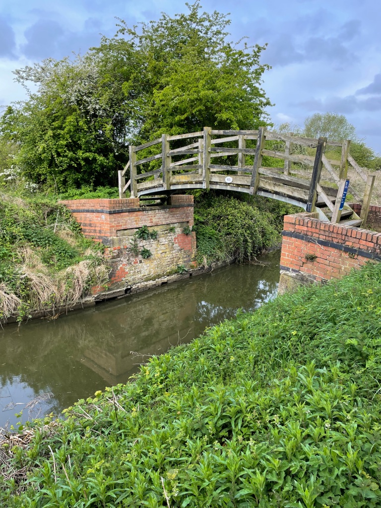
    Bridge across the river Witham

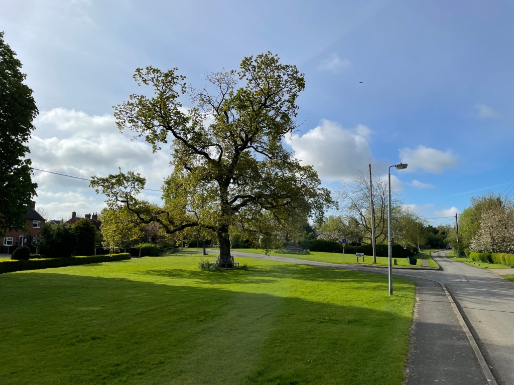
    We walked through the peaceful village. There is a church in the village which has an interesting interior apparently so we will have to pay a visit when it is open.

    Westborough village green
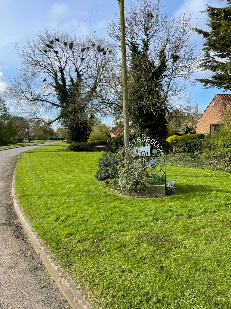
    Sign at start of the village. This area was noisy with crows in the nests in the tree.

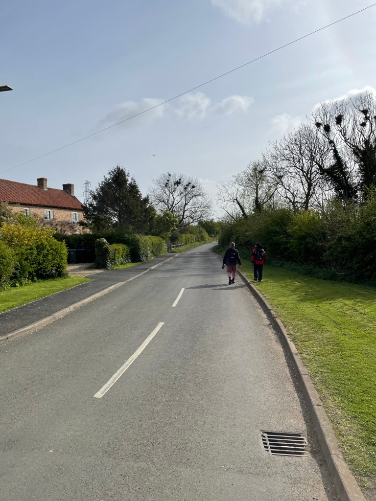
    Leaving Westborough we joined the road towards Hougham. ( pronounced Huffham Chris told us – I do like the vagaries of the English language) It was quiet with very few vehicles.

    Heading out of Westborough

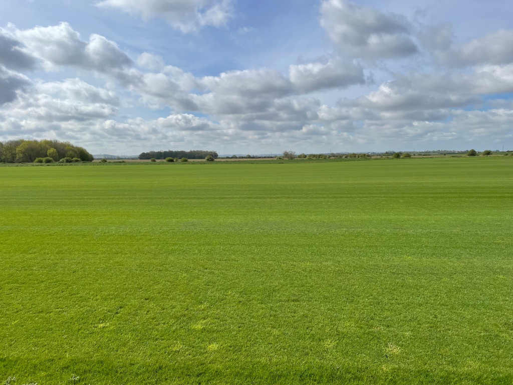
    Along the road we trod, spotting Hares bounding across the fields. One of the fields was being used to grow turf and looked like quality grass. England’s green and pleasant land!

    Grass for turf being grown

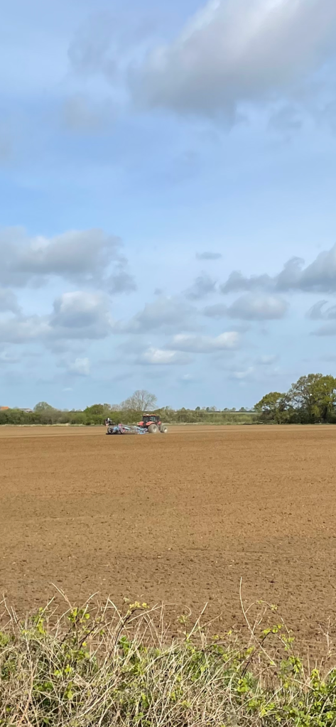
    A tractor was in another field doing some ploughing- good to see this as previously the land had been too wet.

    The Three Amigos were discussing gentle tv comedy of bygone years – such as ‘The Detectorists’, ‘Dad’s Army’ and ‘Last of the Summer Wine’. All fantastic series but alas nothing like it is made any more. We chuckled when ‘Last of the Summer Wine’ was mentioned as it is about three old blokes who go walking together! Chris said being the tall one I must be Foggy but who is Compo? 😊 We burst into laughter!

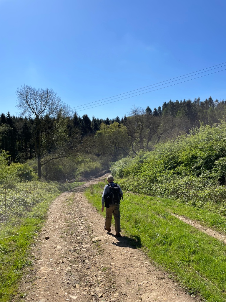
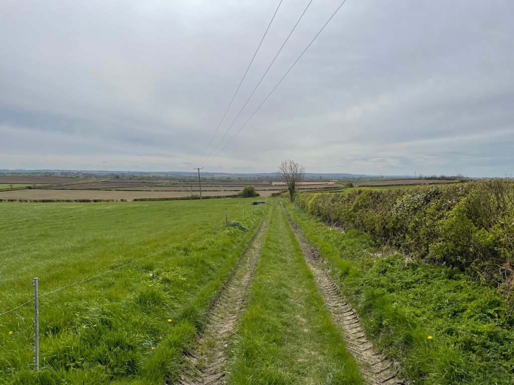
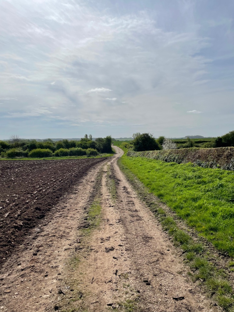
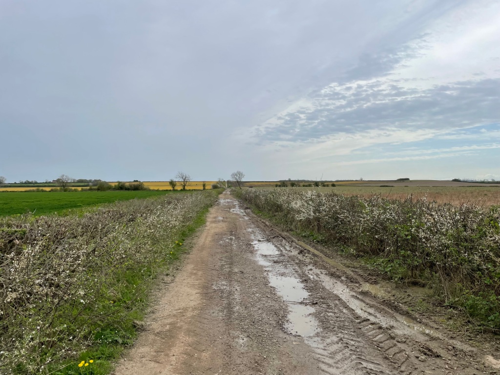
    Leaving the tarmac road we followed a farm track north.

    The farm track heading North

    We passed a strip of grass that was a runway for microlight planes.

    The Microlight runway

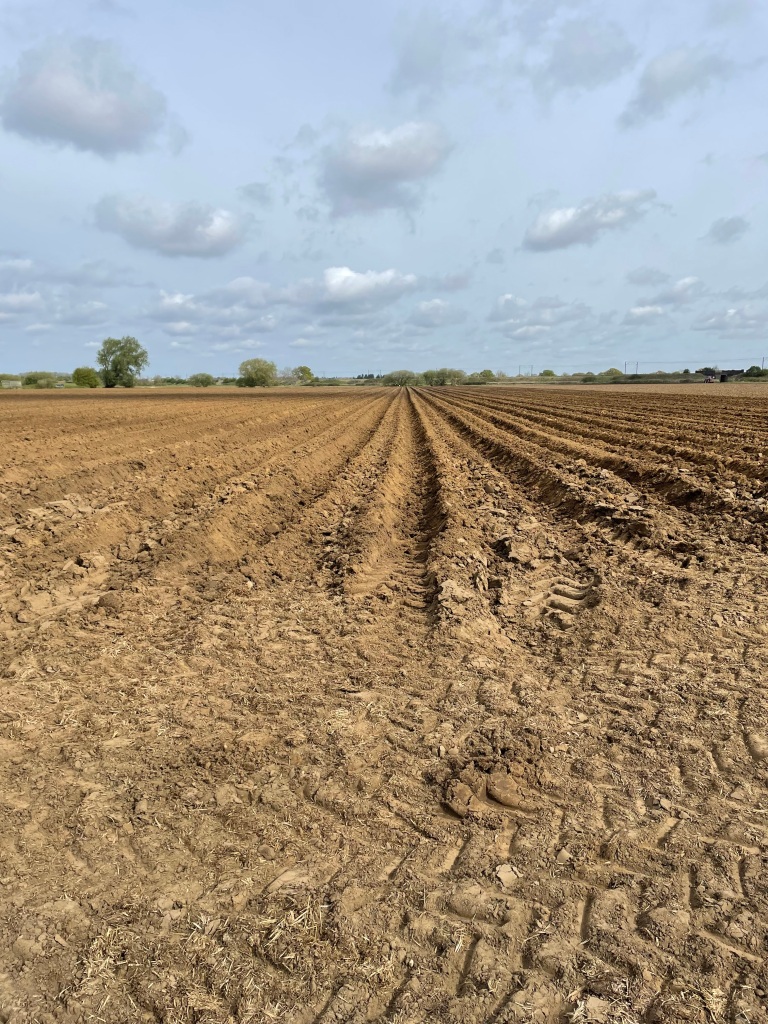
    A field was being ploughed for potato planting – it had deep furrows.

    Field being prepared for potatoes

    We were headed to a crossing under the East Coast main line railway.

    Crossing another field

    We were about 6 mile in on our walk and we were looking forward to arriving at the cafe.

    Arriving at the Alpaca cafΓ©

    The site is home to over 90 Alpacas and is a very popular spot. I hope to visit again soon.

    Leaving the cafΓ© somewhat reluctantly we were now heading towards the village of Dry Doddington. The church of St James dates back to the 12th century. The tower was built in the early 14th century and is famous for leaning towards the west. The angle of the lean has been authenticated as 4.8 degrees – this is greater than the Leaning Tower of Pisa!

    The leaning tower.

    Our walk continued, passing a trig point, we had extensive views over the countryside. I had a great sense of openness and space. It was wonderful.

    Plenty of distant views.

    There were a few good hearted murmurings in the ranks about the length of the walk – we had exceeded the billed distance. Mileage can be a flexible measure on my walks I have been told 😊.

    We soon arrived back into Long Bennington after a great walk.

    Happy Walking! πŸ˜ŠπŸšΆβ€β™‚οΈ

  • Cotgrave Country Park to Holme Pierrepont – a 7 mile walk.

    Apr 12th, 2024

    Hello and welcome back to my blog 😊.

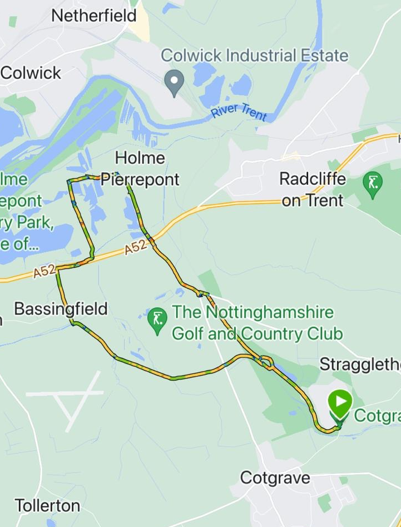
    Today, the Three Amigos met up and we did a 7-mile circular walk from Cotgrave Country Park to Holme Pierrepont and back.

    This walk was found on the Vale of Belvoir Ramblers blog site https://vbramblers.blogspot.com/ and was guaranteed to avoid any mud. This was just perfect for us after a very boggy walk last week – that walk was so bad that I didn’t even do a blog about it!

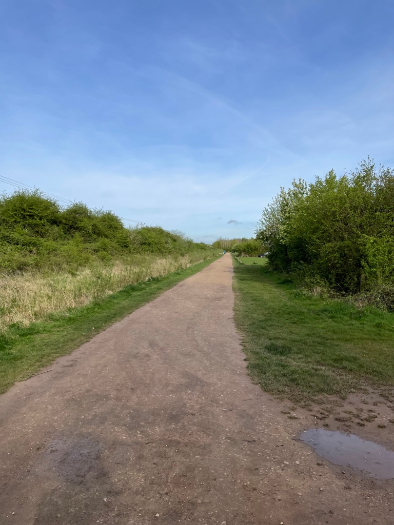
    Cotgrave Country Park is home to 200 acres of woodland, meadows and wetland areas. It is on the site of the old colliery which closed in 1993. Meeting in the free car park we set off through the park. The park is very popular and well used by local residents. Chris was wearing his shorts – a sure sign that summer is on the way!

    A good path through the Country Park -surprisingly empty
    One of the lakes in the park

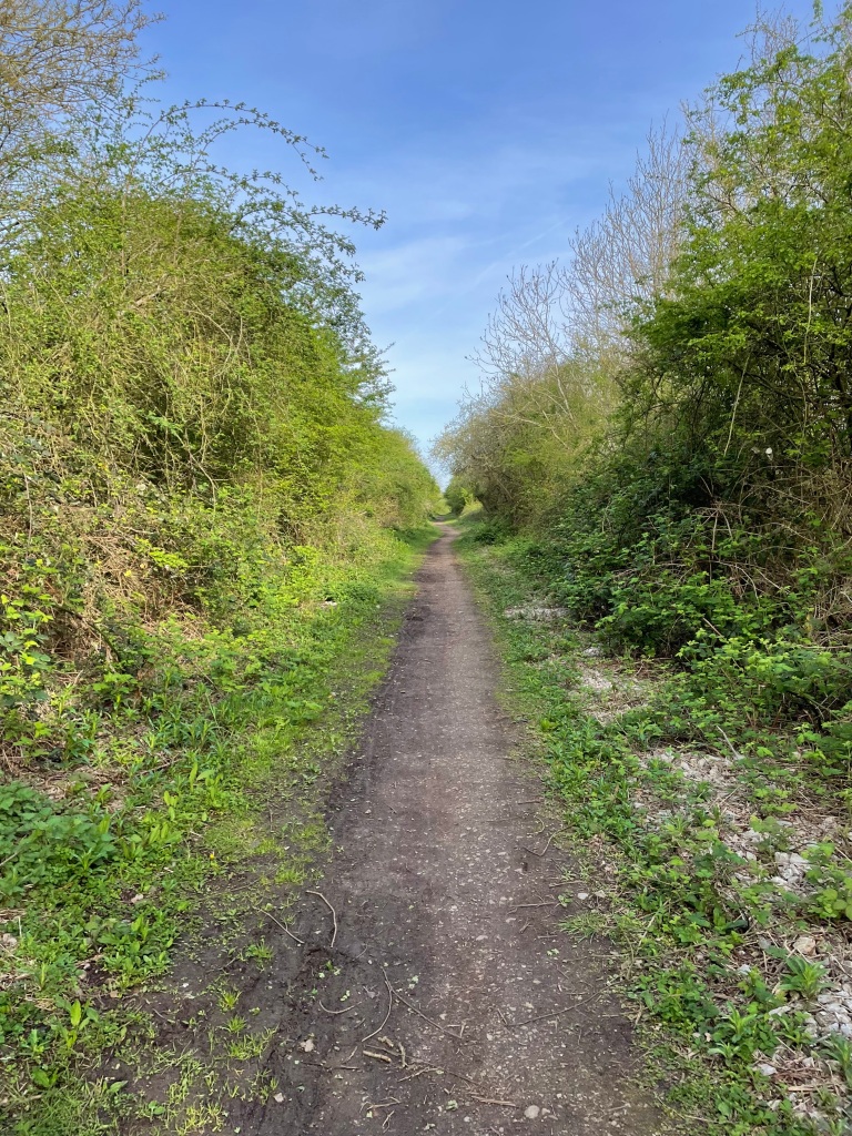
    Chris was suffering from the after effects of a bad cold but gamely marched on. Leaving the park we took the cycle trail along the route of the dismantled railway line.

    The cycle trail along the dismantled railway

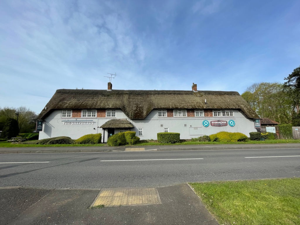
    The sun was warming up and it was very pleasant walking. We would have liked to continue along the cycle trail but there was a diversion in place due to concerns over a bridge further on. We dropped down by a pub with a splendid thatched roof.

    We dropped down from the cycle trail here
    The Shepherds Pub

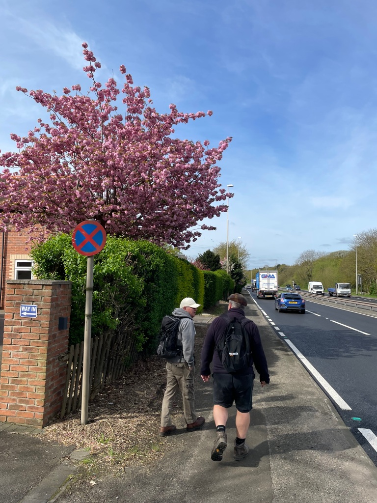
    We followed the busy, noisy road and crossed the A52 to head towards Holme Pierrepont. I didn’t enjoy being by the road – everything seemed so frenetic. The tranquillity we had enjoyed in the park was gone.

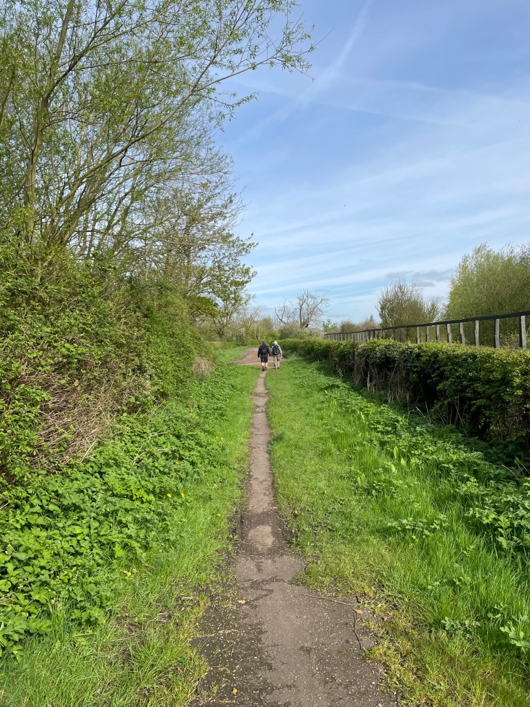
    The path towards Holme Pierrepont

    The walk took us past a handy bench that was just perfect to take a break and enjoy a cuppa- I enjoyed a Bovril 😊.

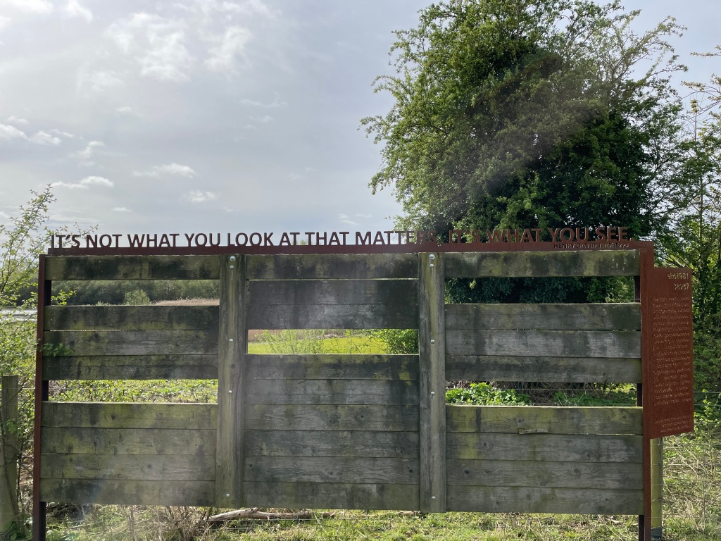
    Mick was familiar with this area and took us beside Skylarks Country park – there were signs containing philosophical quotations along the way. I liked this one in particular

    Philosophical sigen

    ‘Its not what you look at that matters, its what you see’ by Henry Thoreau

    Naturally this sparked a philosophical discussion among the Three Amigos😊 .

    We were soon back at the busy A52 again and our previous worries about getting across proved unfounded – we crossed unscathed.

    Happy to be safely across the busy A52

    We headed towards Bassingfield to pick up the Grantham Canal.

    On the way to the Grantham Canal
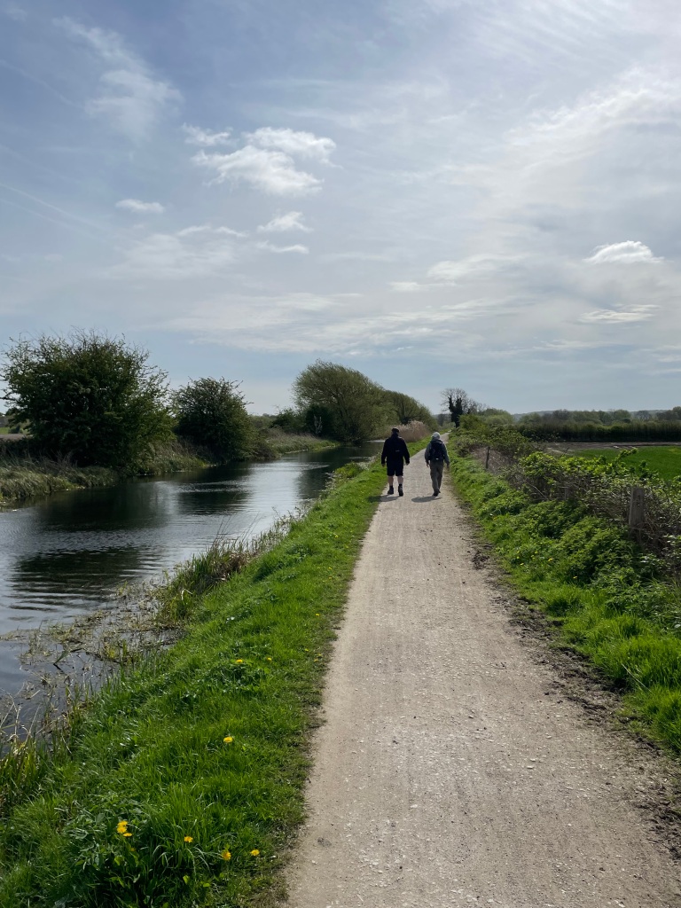
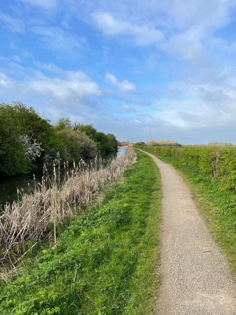
    On the Grantham Canal

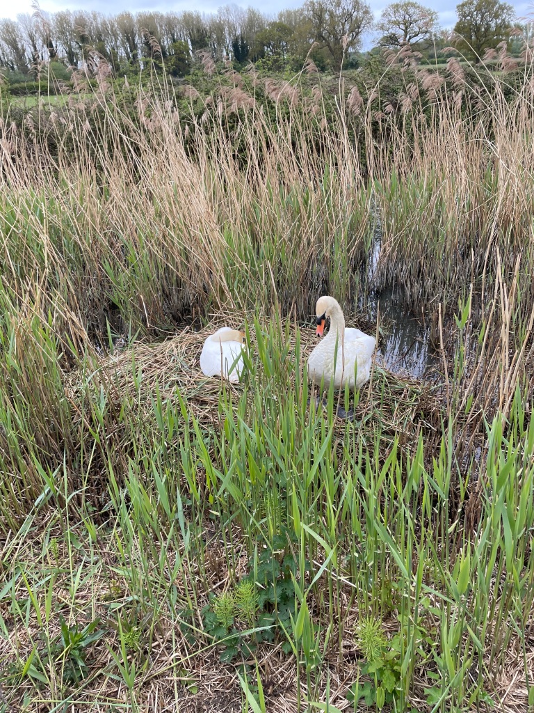
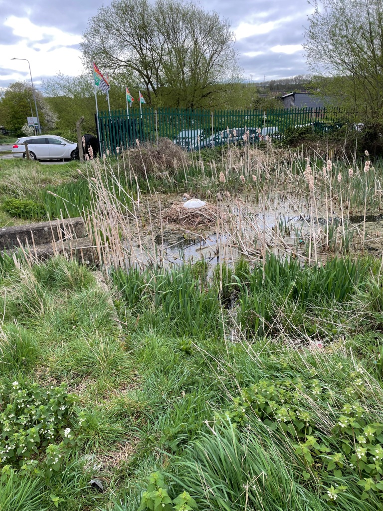
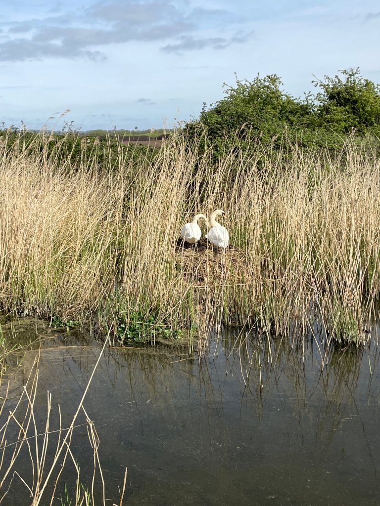
    It really was a beautiful day and the temperature was rising nicely. We were walking along the towpath back to the Cotgrave Country Park. We passed a couple of swans nest building and saw a solitary duckling with its parents – we wondered where the others were.

    Nest building

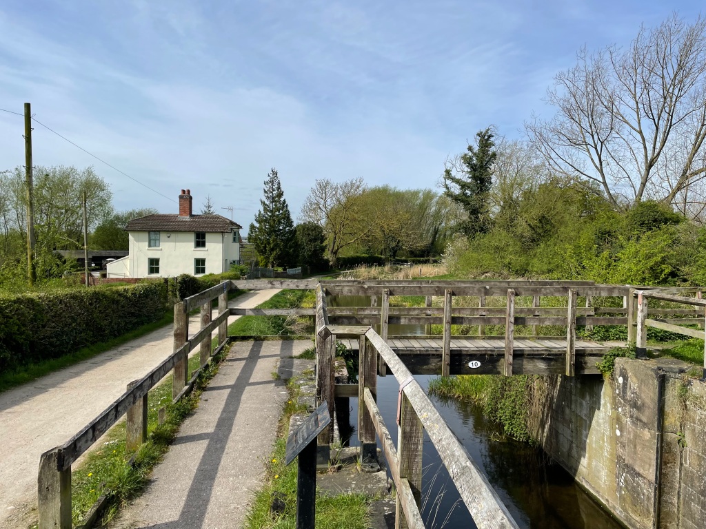
    We passed ‘Skinners Cottage’ – an lovely former locksmiths cottage.

    Skinners cottage
    Skinners Lock

    We were soon arriving back into the park – it was a lot busier than when we had left. Maybe because its half- term still.

    I think we had all appreciated a mud free walk ( and in Chris’s case not much uphill walking!!) and enjoyed the warmer weather.

    Happy Walking! πŸ˜ŠπŸšΆβ€β™‚οΈ.

  • A Sunday morning walk on the Grantham Canal.

    Apr 7th, 2024

    Hello and welcome back to my blog 😊.

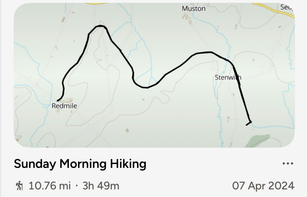
    The strong winds of yesterday had continued overnight as storm Kathleen showed no signs of moving on. I checked the weather forecast first thing and it was due to stay dry until lunchtime although the strong winds (50 mph) would persist. Right, I thought, lets get out for a walk!

    I started walking at 07:45 leaving Woolsthorpe-by-Belvoir and heading west along the canal. I fancied doing a 14 mile walk – my plan was to see how the weather developed.

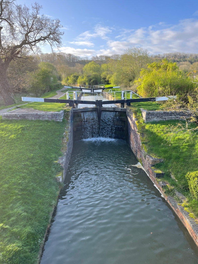
    Lock 17 at Woolsthorpe-by Belvoir
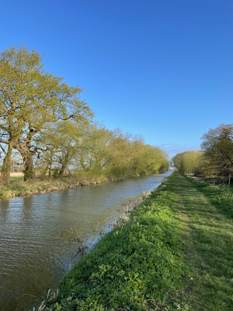
    Heading west

    It was a sunny start but windier and cooler than yesterday. I wished I had brought another layer with me.

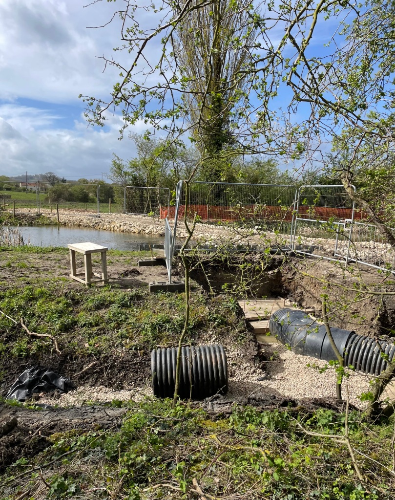
    I reached lock 13 which is a lock currently being restored by The Grantham Canal Society. https://www.granthamcanal.org/ The restoration is at the early stage of getting the lock in a position to be able to assess the brickwork. Dams are needed either side of the lock and a pipe to carry water around to bypass the lock. Once this is done the lock can be pumped out and the assessment started.

    Uphill dam in place with pipework nearly ready to connect
    Downhill dam nearly complete

    I was walking on good section towpath at this stage but feeling battered from the wind.

    Good towpath on this section

    Along this stretch I saw a couple of herons and, as per usual, they flew off whenever I got to within 100 ft of them. I would have liked a photograph.

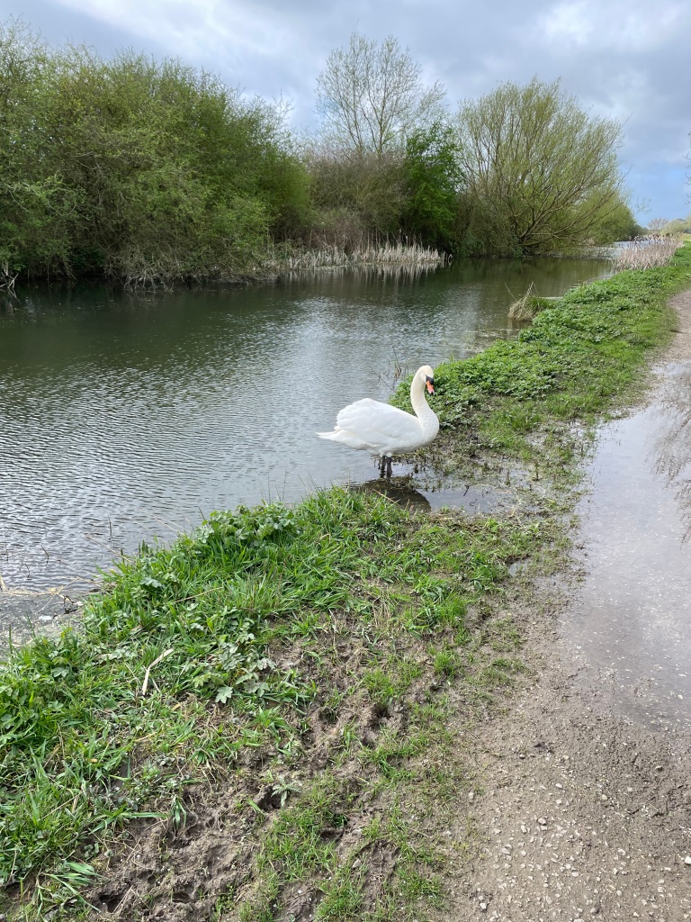
    The swans were more obliging.

    Good morning Mr Swan!

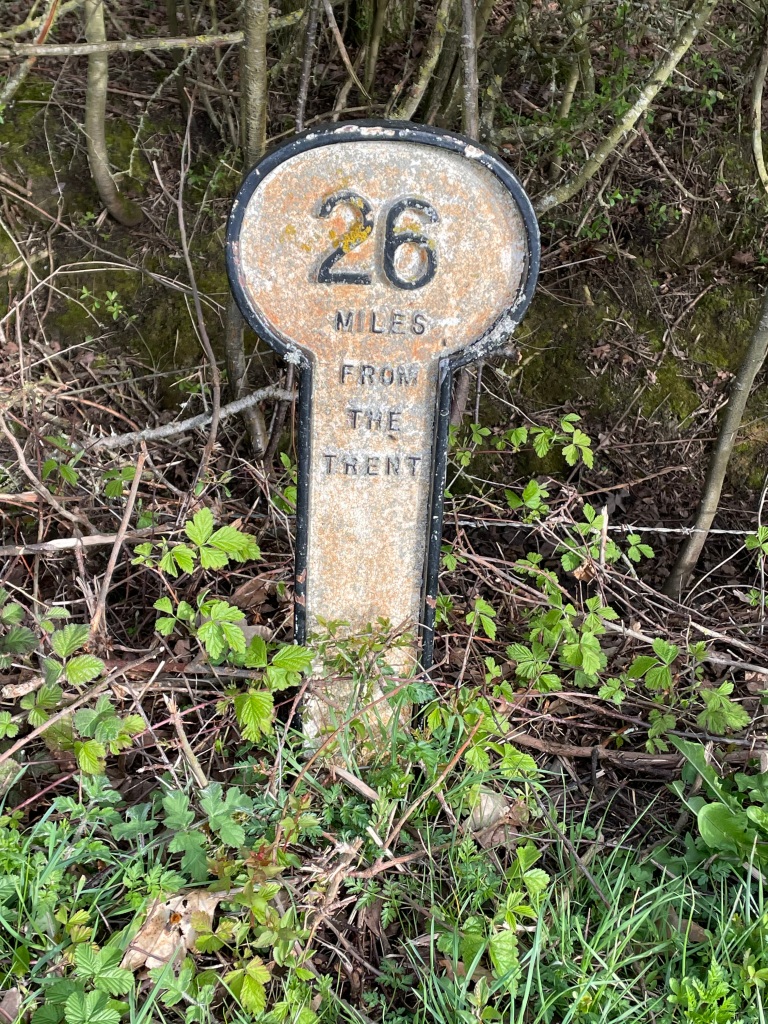
    Along the way are signs denoting the distance from the river Trent – the start of the canal.

    A mile marker post
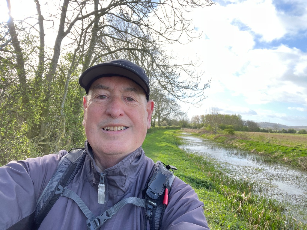
    Hope my hat doesn’t blow away!

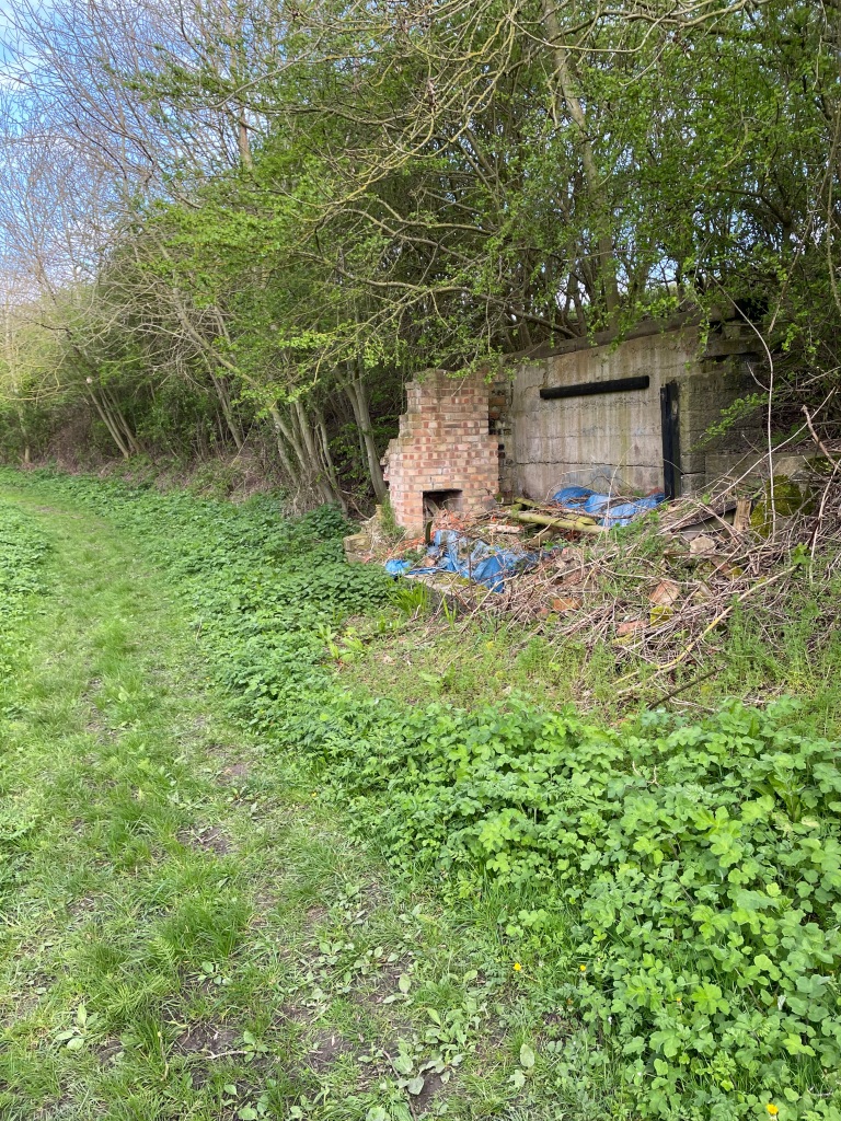
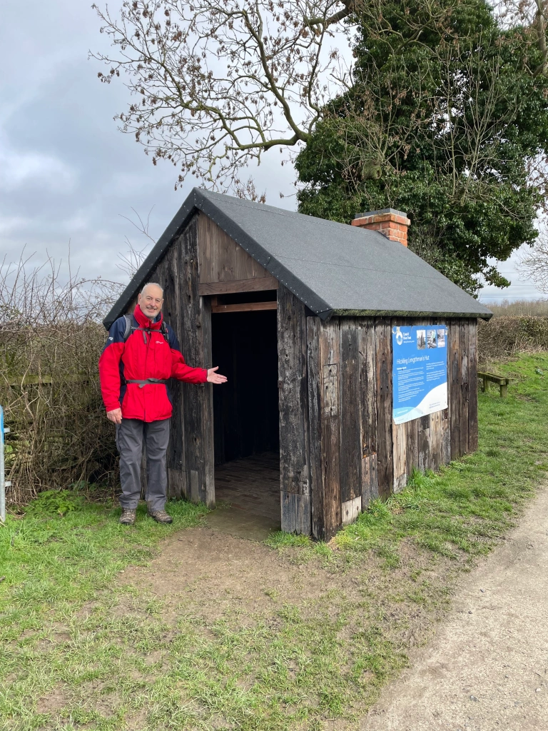
    I passed a derelict Lengthman’s hut (the Lengthman was responsible for maintaining a certain section of the canal) – there is a restored hut further west near Hickling basin. I wonder whether this one will get restored at some stage?

    Derelict Lengthman’s hut
    Lengthman’s hut near Hickling basin

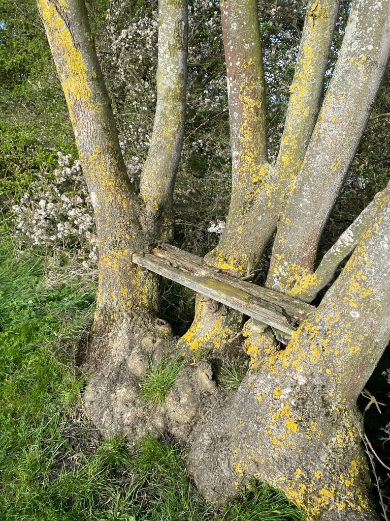
    I came across an old bench seat that had become part of the tree as the tree has grown.

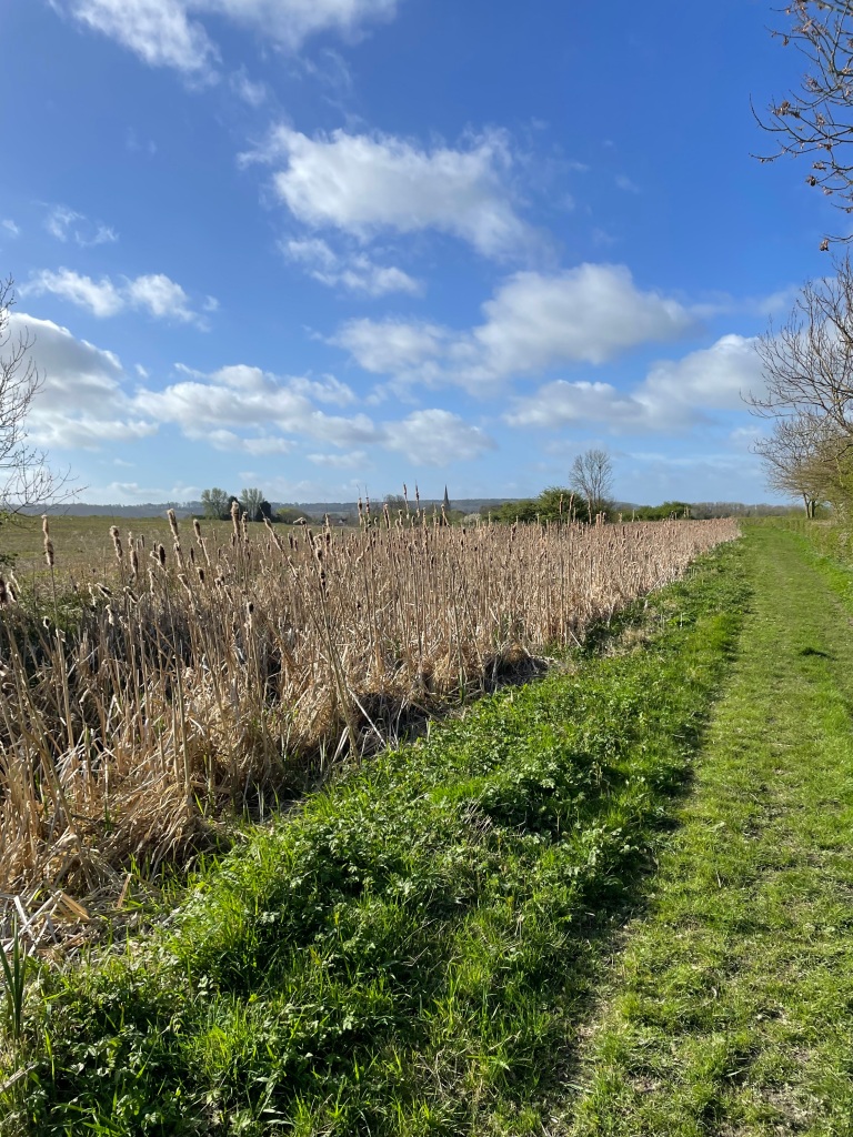
    Along this section the canal was not open – weeds and reeds were taking over. I quite like the reeds.

    As I got near to Redmile the clouds were turning black and as I didn’t fancy getting wet I turned around and headed back.

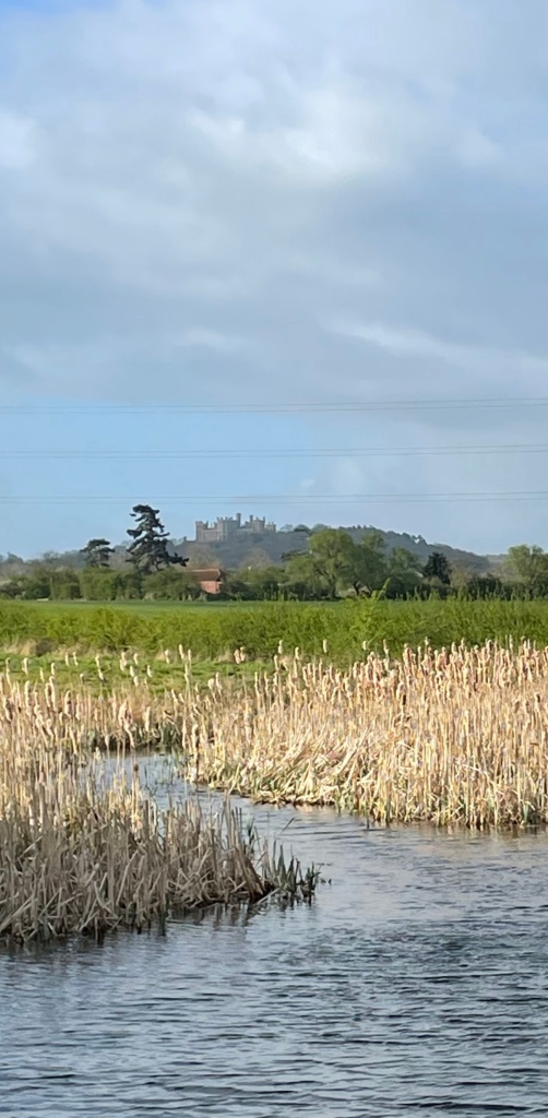
    Belvoir castle could be seen in the distance.

    Belvoir Castle in the distance

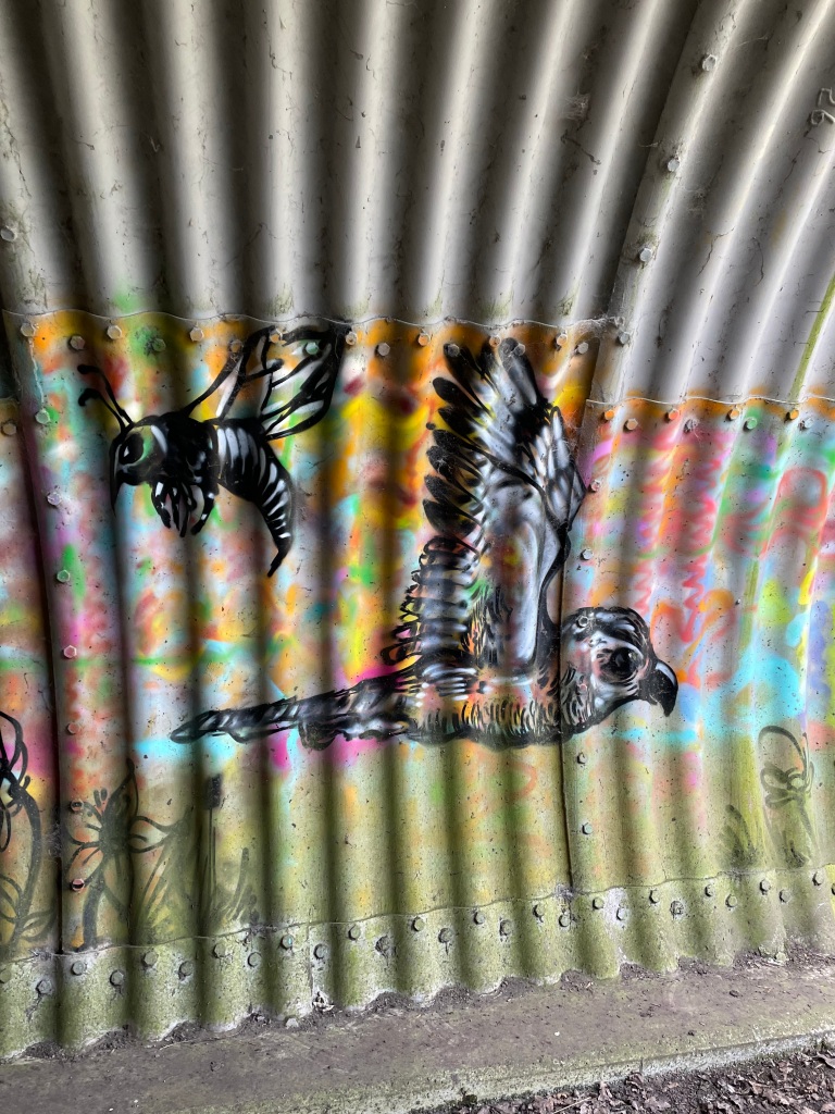
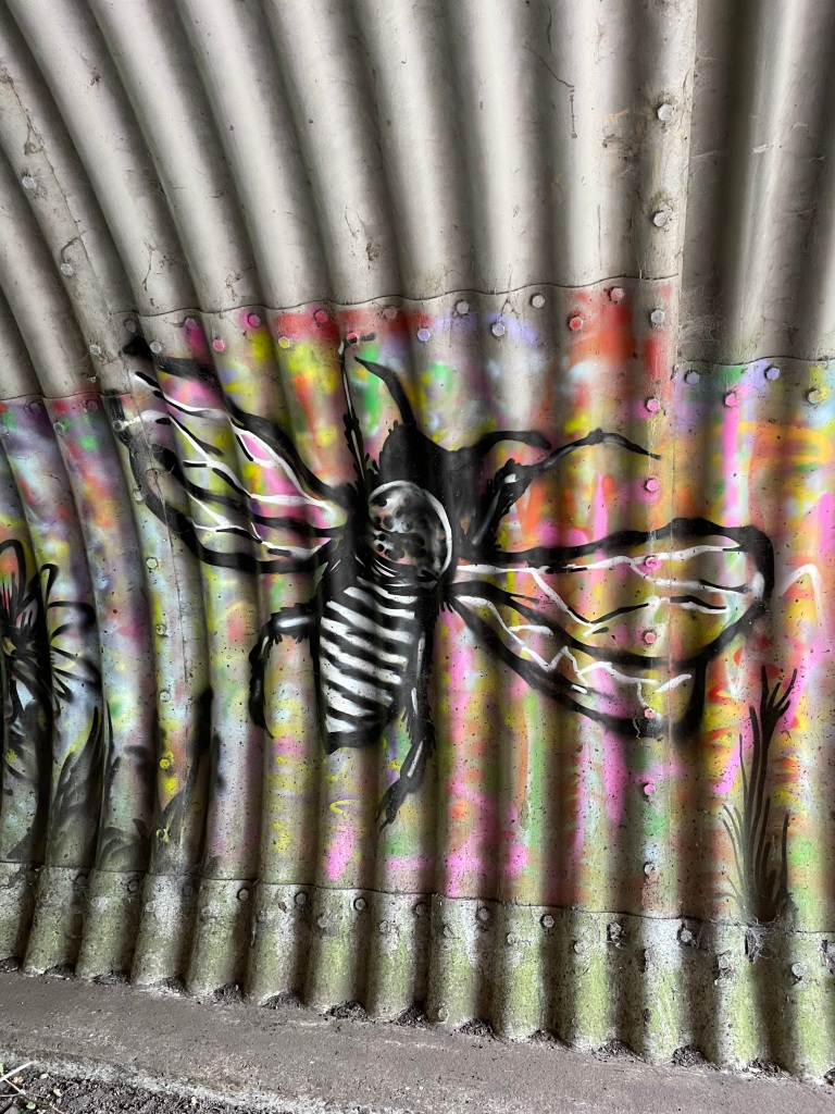
    As I neared Woolsthorpe I took the cycle path and visited the graffiti in a tunnel – its quite good I think.

    I arrived back at my car and just as I was taking my boots off the heavens opened up – Someone was looking after me this morning 😊. It had been a bracing walk and I was looking forward to warming up.

    Happy Walking! πŸ˜ŠπŸšΆβ€β™‚οΈ

  • A rare dry day- time for a 9 mile walk.

    Apr 6th, 2024

    Hello and welcome back to my blog 😊.

    I find it very frustrating that the wet weather we have experienced for the past six months has continued into April. It feels to me almost like a lockdown situation because there are limited days for walking due to incessant rainfall.

    Earlier in the week I was out doing a walk that involved crossing fields and it was soul destroying – mud and waterlogged fields a testament to our changing climate.

    This morning it was a sunny start but windy (40 mph due to storm Kathleen which has hit the west coast of the UK) conditions would make my walk a struggle at times. Before deciding to walk I vowed to avoid wet fields as much as possible!

    I set off from the Lincolnshire village of Allington aiming to pick up The Viking Way.

    The village green in Allington
    On the Viking Way
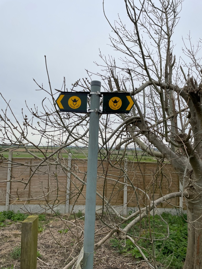
    Sign post for The Viking Way

    The Viking Way is a long distance trail running 147 miles from the Humber Bridge to Oakham in Rutland. I had a memorable visit to the Humber bridge last week.

    This section of The Viking Way was dry and I soon hit a tarmac road which was easy walking. I was headed towards Long Bennington.

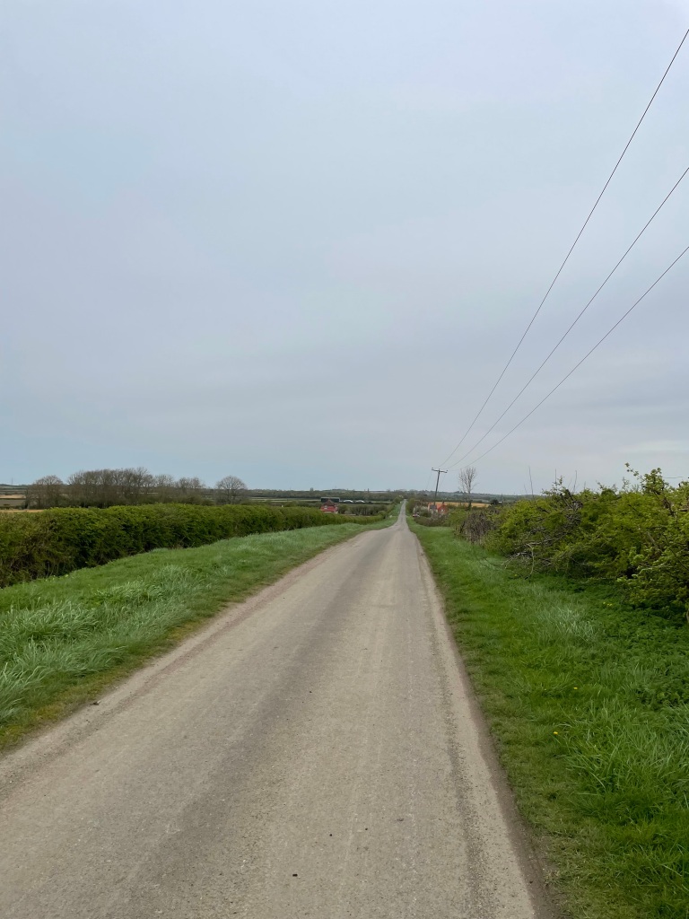
    A quiet road

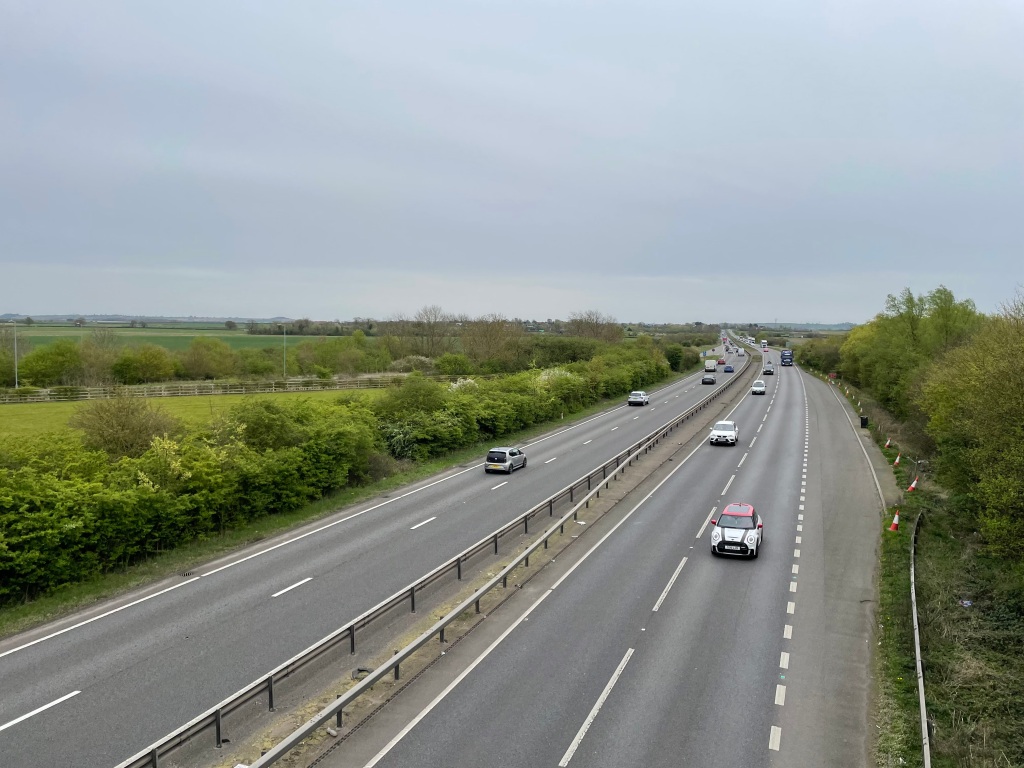
    I crossed over the A1 using an overhead road bridge. As usual the traffic was thundering along and the noise was intense.

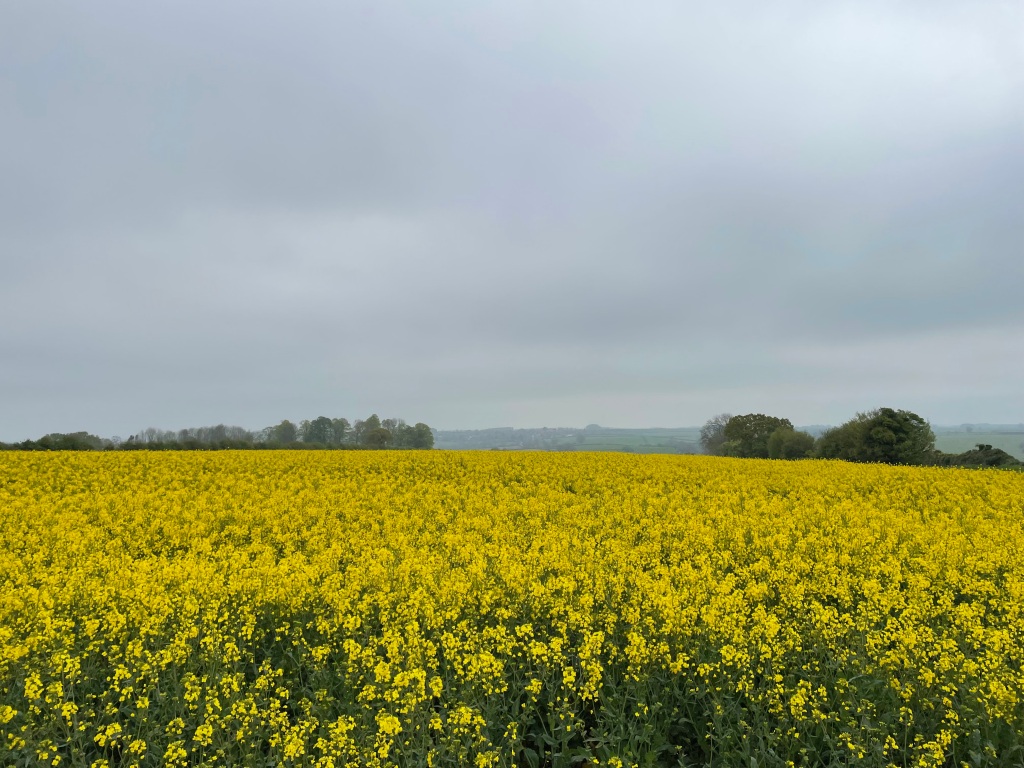
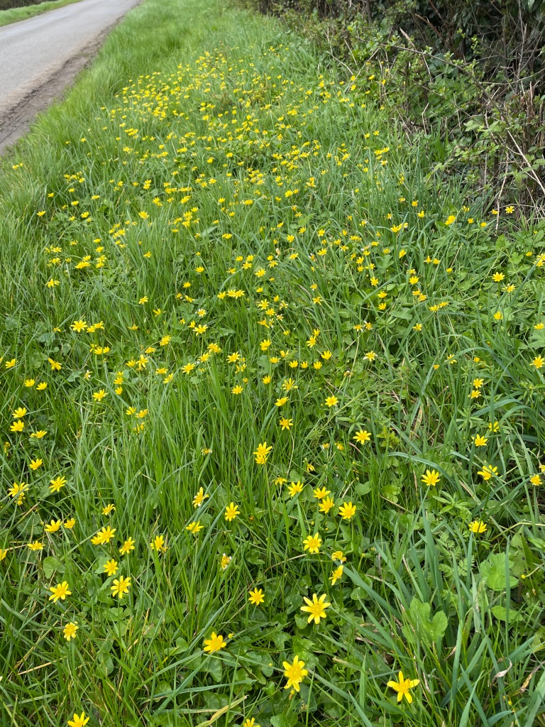
    It was 18 deg C and probably the hottest day of the year so far. I was enjoying the warmth and the wind was at my back. As I was arriving into Long Bennington I came across some yellow flowers (weeds?) which made me smile because I like yellow – its a happy colour!

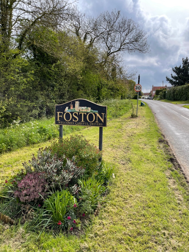
    I passed St Swithun’s Church and left The Viking Way picking up a path across some fields, that were reasonably dry, heading towards Foston.

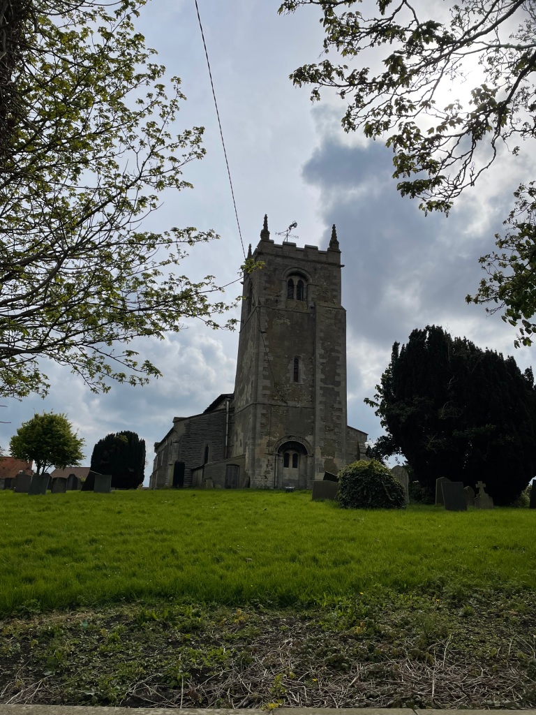
    St Swithun’s church, Long Bennington
    Crossing fields
    Dry path
    Bridge across a drainage ditch

    After crossing the fields I met the Foston road which was to be my turnaround point. I headed along the road back towards the A1 bridge picking up the Viking Way once more. The wind was now in my face and it was making walking more challenging – still, it wasn’t raining!

    On the Viking Way headed for Allington

    I was enjoying my walk as I huffed and puffed against the wind. There was some mud on the Viking Way but nothing horrendous. I could pick my way through the worst bits. I had lovely open views across fields for miles.

    Heading into Allington

    Once more I left the Viking Way and took a road towards Allington, my destination. The wind was less troublesome and not in my face.

    Back in Allington

    The walk turned out to be 9.5 miles – a good stretch of the legs.

    I fancy a canal walk tomorrow – I will check out the weather later and see how it looks. Currently 50 mph winds with thunderstorms in the afternoon .

    Happy Walking! πŸ˜ŠπŸšΆβ€β™‚οΈ

  • A short walk to the Humber estuary along the Market Weighton canal.

    Mar 28th, 2024

    Hello and welcome back to my blog 😊.

    Overnight we had rain and wind which lasted until 10.00 this morning. The sun then came out and so, off we set. Angela drove us to Newport which was where we parked the car.

    Our objective was to walk along the Market Weighton Canal Trail https://www.mwct.org.uk/to see the Weighton Lock which controls access into the Humber close to the confluence of the Ouse and the Trent.

    Humber Keel barge at Newport
    View of the canal from the bridge in Newport
    The sign points the way.

    The canal was constructed mainly for land drainage with transportation as a secondary consideration. The clay dug out of the canal was used for brick manufacturing and at one point there were 22 brick yards served by the canal.

    We walked along the trail which ran close to the canal.

    We encountered a wet section of the walk where water draining off the land was flowing into the canal.

    Angela trying to find a less wet route

    We passed through a tunnel carrying the railway over the canal.

    How about that for timing!
    View from a bridge

    Shortly, we arrived at the lock.

    The lock into the Humber

    The lock was built in 1773. It is a substantial stone structure built on a timber raft which rests on a bed of rushes. The water level in the canal is maintained below mean sea level.

    The gates into the Humber.
    The gates into the Humber
    The Humber
    Admiring the Engineering

    We stopped for a while at the lock sitting on a bench and enjoying a coffee before setting off to return to Newport. The wet section that we met on the way to the lock was even wetter on the return leg and could have done with a bridge over it as there are in other parts of the canal.

    A stream across the path

    Poor Angela whose boots were not waterproof had to find a way around.

    Angela trying to find a path through

    Thankfully, Angela managed to maintain dry boots and before long we were back in Newport at the car. We were pleased to have seen a piece of history and that it had remained dry for us on today’s walk.

    Happy Walking! πŸ˜ŠπŸšΆβ€β™‚οΈ

  • The Yorkshire Wolds Way -South Cave to Market Weighton.

    Mar 27th, 2024

    Hello and welcome back to my blog😊.

    Todays walking journey finds myself and Angela parking up in South Cave at just after 08:00 ready to start where we finished yesterday. Our aim today was to walk the 13 miles from South Cave to Market Weighton along a section of The Yorkshire Wolds Way.

    South Cave

    We set out early to avoid the rain forecast for later on. Our first surprise, walking uphill out of South Cave, was passing Vine Yards. They were obviously the hardy variety of grape.

    The beginning of a vine yard
    More established vines.

    We passed a pair of Wolds Way benches – these stylish benches are dotted here and there along the route, usually where there is a view.

    Wold benches

    Our route took us through a number of Dales, some of which were wooded, and involved a fair bit of up. Some paths were slippery with mud.

    A long pull up.

    The agricultural land we passed was surprisingly very chalky.

    Chalky fields.

    The highlight of the walk was passing through one particular dale that had a lot of lambs – its funny to see some energetically springing about. Most were snoozing in the sunshine. They were a joy to see.

    The weather was sunny as we continued through the open expanse of Swin Dale.

    Swin Dale

    After more up we stopped for a break. Although it was sunny there was a brisk cold wind blowing.

    Break Time

    We were making good time and after following the path across agricultural land we met Hudson Way – the site of the dismantled railway line from Market Weighton to Beverley.

    Hudson Way

    The Hudson Way led us to Market Weighton and the finish of our walk.

    The finish

    Two things stand out in Yorkshire. The first is how friendly people are and secondly, finding that the towns have free parking – very enlightened.

    We now only have one section of the Wolds Way left to walk – from Sherburn to Filey, which we will complete at some stage. We can then tick that walk off 😊.

    Happy Walking! πŸ˜ŠπŸšΆβ€β™‚οΈ

  • The Yorkshire Wolds Way -Hessle to South Cave.

    Mar 26th, 2024

    Hello and welcome back to my blog 😊.

    Today myself and Angela walked the first section of The Yorkshire Wolds Way – for us it was a distance of 14 miles from Hessle to South Cave.

    This long distance trail starts in Hessle by the river Humber and runs 79 miles to the coast at Filey.

    The official start of The Yorkshire Wolds Way

    The actual start does not have anything apart from a wooden signpost to denote the start. Further on there is a more fitting stone sculpture.

    Yorkshire Wolds Way sculpture

    The Humber suspension bridge is a fine piece of civil engineering dominating the area and spanning the river.

    The Humber suspension bridge

    As we walked along the bridge dropped into the distance.

    The route took us along an estuary path with lovely views of the estuary. The tide was going out and we noted how fast that was happening.

    We were headed towards North Ferriby. We had checked the Yorkshire Wolds Way website and it advised taking the alternative high tide route instead of walking along the foreshore which was mud bound apparently.

    We passed the reed pond and headed into the suburb of North Ferriby. It was great to see the white telephone boxes which actually had phones in them!

    Reed Pond
    A Yorkshire phone box

    Leaving North Ferriby we headed for the lovely village of Welton where we stopped for a break at a wolds way bench. It was a warm sunny day.

    Having a break in Welton

    We had a walk into the village and found a church adjacent to a large duck pond. The ducks were so cute.

    We left Welton and found the walk had quite abit of up in it but we were rewarded with distant views of the estuary.

    Distance views of the Humber
    Some nice steps on this section
    lambs in the field.

    We were both enjoying the walk – it was better than we had expected, and we were soon viewing South Cave our destination for today.

    Nearly at South Cave

    To celebrate the walk we went for a nice pub meal 😊.

    Happy Walking! πŸ˜ŠπŸšΆβ€β™‚οΈ

  • A circular 8 mile Yorkshire Wolds walk.

    Mar 25th, 2024

    Hello and welcome back to my blog 😊.

    Today I was joined by Angela on a lovely Yorkshire Wold’s walk. Our route took us from Fridaythorpe to Thixendale and back again (via a different route) .

    The weather forecast was for rain but we were feeling optimistic as we set off early in the morning. We had packed our waterproofs just in case!

    Angela at the start of our walk.

    We headed down into the valley bottom of West Dale and followed this along eventually entering Brubber Dale and continuing along this valley.

    West Dale

    The Wold bottom is a quiet place to be – almost like the land that time forgot.

    We have walked in the Yorkshire Wolds a few times now and we always enjoy the ambience. The chalk bottom ensured there was no mud which we appreciated.

    After reaching a tarmac road we headed up the steep hill to reach a plateau, then continuing along a farm track we found ourselves heading downhill into Water Dale where we passed a big pheasant farm. This was to be an undulating walk.

    Water Dale

    We soon arrived in the village of Thixendale and navigated our way to the start of Thixen Dale. We meandered through Thixen Dale enjoying the quiet and then left by a path up the side of the Wold.

    The start of Thixen Dale

    Leaving Thixen Dale via the rising path
    View back into Thixen Dale

    Apart from a few spots of rain it had been dry. We continued on our route arriving back in Bruber Dale where we had a view of West Dale once more.

    View of West Dale
    West Dale

    It wasn’t long before we were back at the car in Fridaythorpe. We visited the local cafΓ© (called Seaways) because we always do!

    A treat at the end of the walk.

    Tomorrow we have planned to walk the first section of The Yorkshire Wolds Way from Hessle (by the Humber bridge) to South Cave. We have brought two cars with us to facilitate this. Later in the week we will walk the second section South Cave to Goodmanham which will only leave the final section from Sherburn to Filey to walk at some future point. We have already walked the other intermediate sections.

    Happy Walking !

  • Newbald Wold – a 6 mile circular walk.

    Mar 24th, 2024

    Hello and welcome back to my blog 😊.

    Todays walk was found in the Ordnance Survey book ‘Vale of York and Yorkshire Wolds -outstanding circular walks’. It would take me through Newbald Wold, give me views of the Vale of York and a glimpse into Swin Dale.

    The day was sunny but chilly with a biting wind when I arrived in North Newbald and parked close to the village green.

    The village green

    I set off passing the Norman church of St Nicholas which was described by Pevsner as the ‘most complete Norman church in the East Riding’.

    The church of St Nicholas

    The village hall looked impressive as I walked past.

    The village Hall

    I found my way out of the village (which can sometimes be troublesome) and headed up a tarmac road with views back to Newbald.

    The road out of Newbald

    Reaching the crest of the hill I headed along the side of a field by a path which eventually headed downhill. There were a few village dog walkers about enjoying the sun but not the wind!

    I walked into the wold along the dry valley bottom.

    Arriving into the Wold.

    This particular Wold is not as spectacular as other ones I know e.g Thixendale, but as I wandered along I became lost in my thoughts. I am in the habit now of using the voice memo app on my phone to capture inspirational thoughts because they have a habit of disappearing quite quickly!

    I noticed large wind turbines in the distance and it wasn’t long before I was passing close to them. I hadn’t realised quite how noisy they are – before I got close I thought the noise was from a plane overhead.

    Noisy wind turbine

    Leaving the Wold I walked up an incline to join The Yorkshire Wolds Way.

    Heading to join The Yorkshire Wolds Way

    On the Wolds Way I walked by some more wind turbines – its an ideal place for them because it is very windy here. There were views across the Vale of York in the distance.

    More wind turbines

    The Wolds way took me on a path steadily upwards to reach the high point marked by a trig point which has been adopted by a local walking group.

    A little further there was a bench which I made use of for a cuppa. it had a lovely view, so I sat in the sun enjoying the moment.

    The Wolds Way continued downhill.

    On the Yorkshire Wolds Way

    After a while I entered Swin Dale. A freshly ploughed field lay to my right which I crossed ( it was dry!) and entered the woods. The path rose through the woods to another field.

    Swin Dale
    Heading across the field to the woods
    Up through the woods I go

    After crossing the field I reached a road which took me back to the village.

    Heading back to Newbald.

    It had been a lovely little walk – plenty of undulation to make things interesting.

    Happy Walking! πŸ˜ŠπŸšΆβ€β™‚οΈ

  • A 10 mile circular walk from Hotham.

    Mar 23rd, 2024

    Hello and welcome back to my blog 😊.

    Todays walk began on a sunny day, however, a bitterly cold wind made it unpleasant when walking into the wind. Just when we thought spring had arrived, with temperatures rising, Mother Nature had a surprise for us!

    Hotham is a pretty village situated on a Jurassic escarpment between the Yorkshire Wolds to the east and the Vale of York to the west.

    I headed out the village along a tree lined tarmac road.

    War memorial in Hotham
    Leaving Hotham

    Dropping down from Hotham Hill I continued along tarmac road till I hit a bridleway into which I turned. I passed a farm called ‘Windy Acres’ – given the amount of wind about I thought that it was aptly named.

    Bridleway through open fields
    Bridleway through a small wood

    It was nice walking on the bridleway – dry and mud free. This soon led to a farm track and I joined this passing arable farmland along the way.

    Farm track
    Farm track

    I had not met a soul so far. I was walking with a drainage ditch on my right and I found the route taking me over a cute bridge – far too grand for a drainage ditch!

    The grand bridge

    As I followed my route I came to a waterway that looked suspiciously like a disused canal. I hadn’t realised that there was one in the area. I am a canal enthusiast.

    The canal

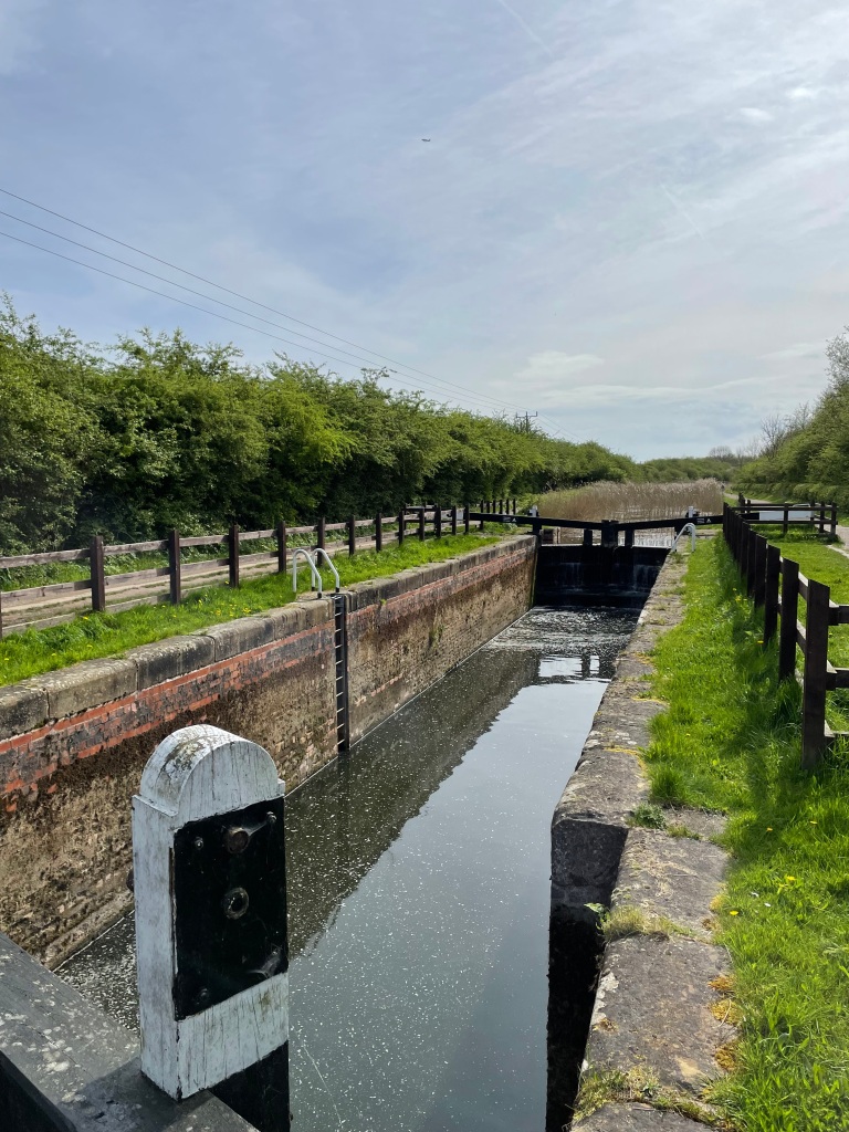
    I turned right and followed the path beside the canal. After a while I came to a old lock that had a bench nearby so I stopped for a much needed cuppa.

    My stop by the lock

    It turns out that the canal was the old Market Weighton canal and I was on part of the 11.5 mile walking trail from Market Weighton to Weighton Lock at the river Humber. https://www.mwct.org.uk/history/explore-the-rich-history-of-the-canal-and-surrounding-regions

    I particularly enjoyed this section of the walk – it is nice to come across something unexpected. Leaving the canal I followed my route to a field but found myself unable to follow it because the field was bog.

    The boggy marshland

    I found my way around it and then had a number of challenges with locked gates, flooding and poor sign posting. It was getting quite stressful and not such a straight forward walk as I had hoped.

    Eventually however, I was making progress and was walking in easier territory with nice views of the Wold’s in the distance.

    Wolds in the distance

    I passed a field of oil-seed rape that was beginning to flower – that’s early?

    Early blooming oil-seed rape

    I was soon entering back into the village, passing the church.

    The church in Hotham

    I was glad to get indoors and warm up. I was pleased that it didn’t rain and chuffed to have seen the canal.

    Happy WalkingπŸ˜ŠπŸšΆβ€β™‚οΈ

←Previous Page
1 … 15 16 17 18 19 … 21
Next Page→

Blog at WordPress.com.

Loading Comments...
  • Subscribe Subscribed
    • My Walking Journeys
    • Join 65 other subscribers.
    • Already have a WordPress.com account? Log in now.
    • My Walking Journeys
    • Subscribe Subscribed
    • Sign up
    • Log in
    • Report this content
    • View site in Reader
    • Manage subscriptions
    • Collapse this bar