Hello and welcome back to my blog 😊.
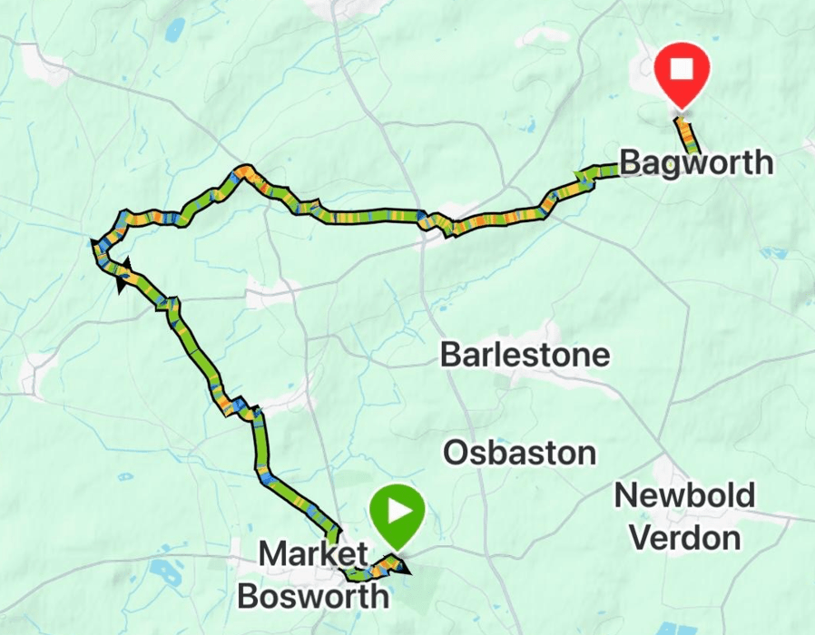
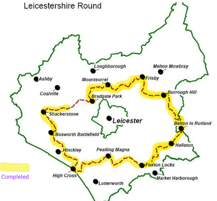
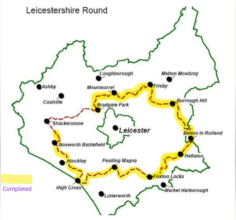
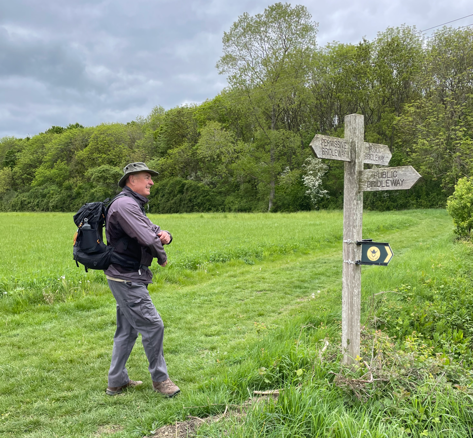
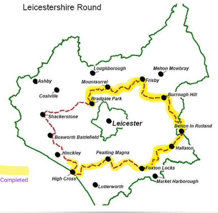
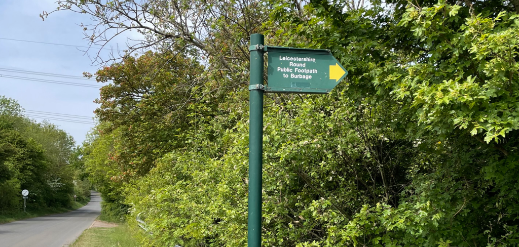
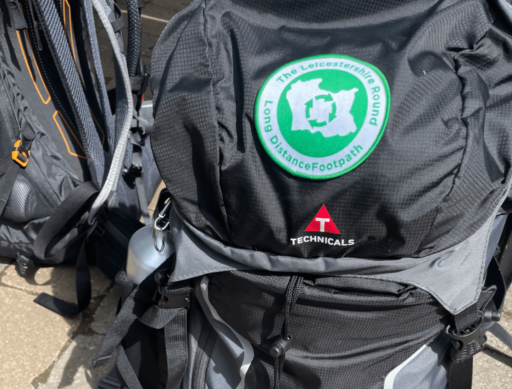
Today is a very auspicious day- Mick and I completed The Leicestershire Round!!!

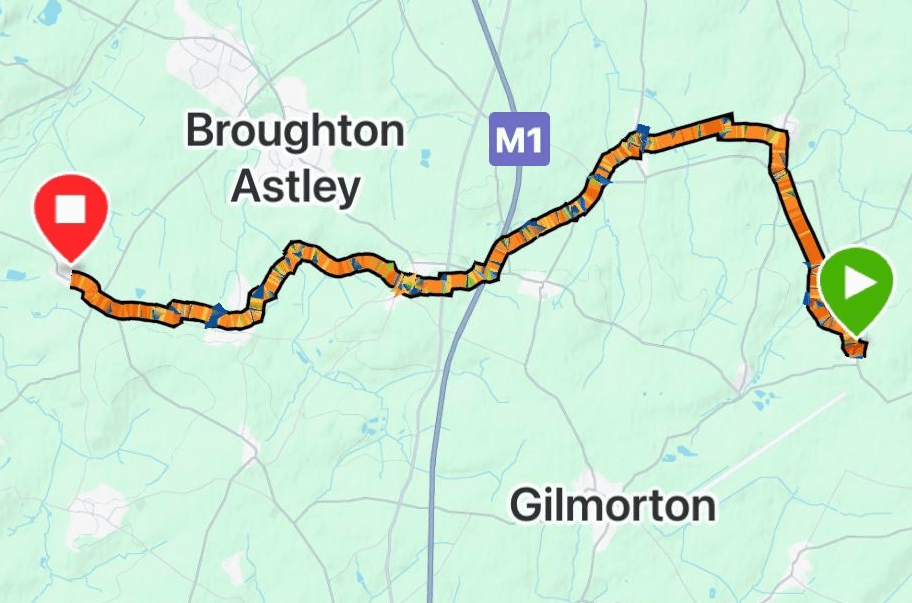
Angela accompanied us on the short 6.5-mile walk from Bagworth to Bradgate Park in Newtown Linford. She had accompanied us on our first leg so it was only fitting that she was there for the last.
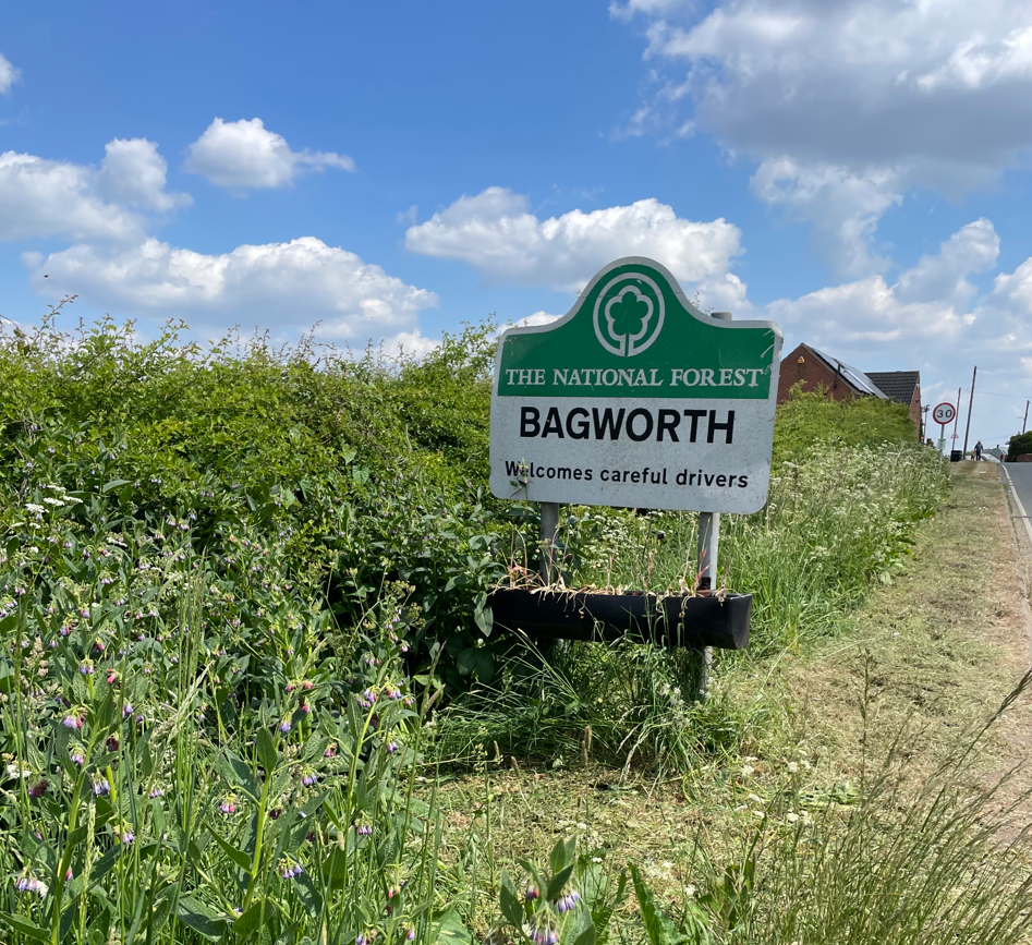
It was a reasonable good weather morning as we set off from Bagworth. I think we all felt a sense of occasion as we strode through Bagworth to pick up the trail where we had finished last week.
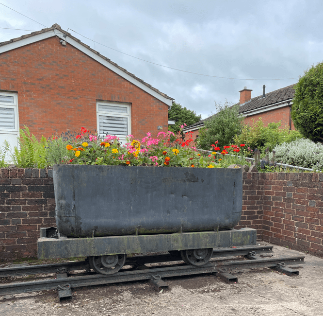
We passed an old colliery coal tug – a nod to Bagworths Industrial heritage. I am guessing the house owner was an ex-miner.
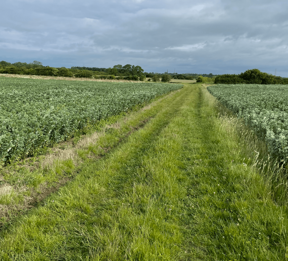
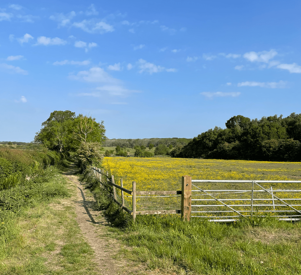
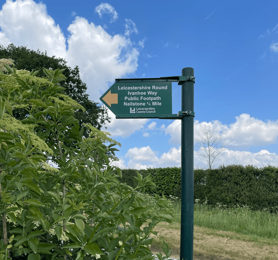
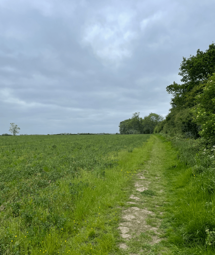
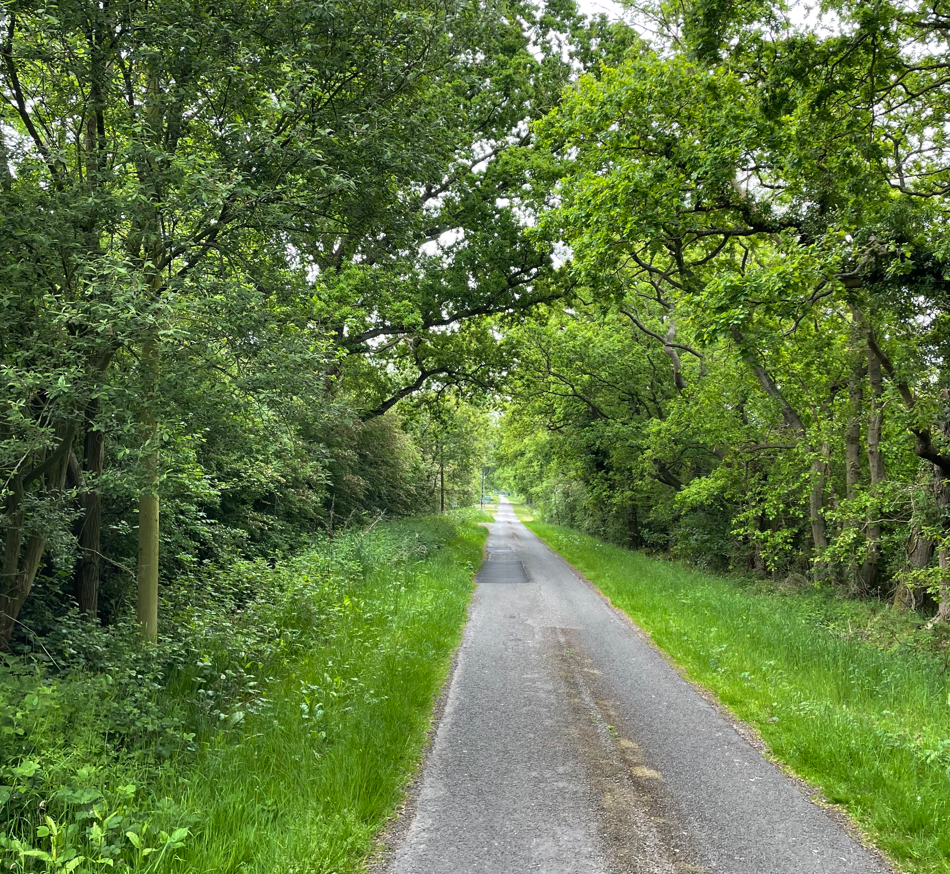
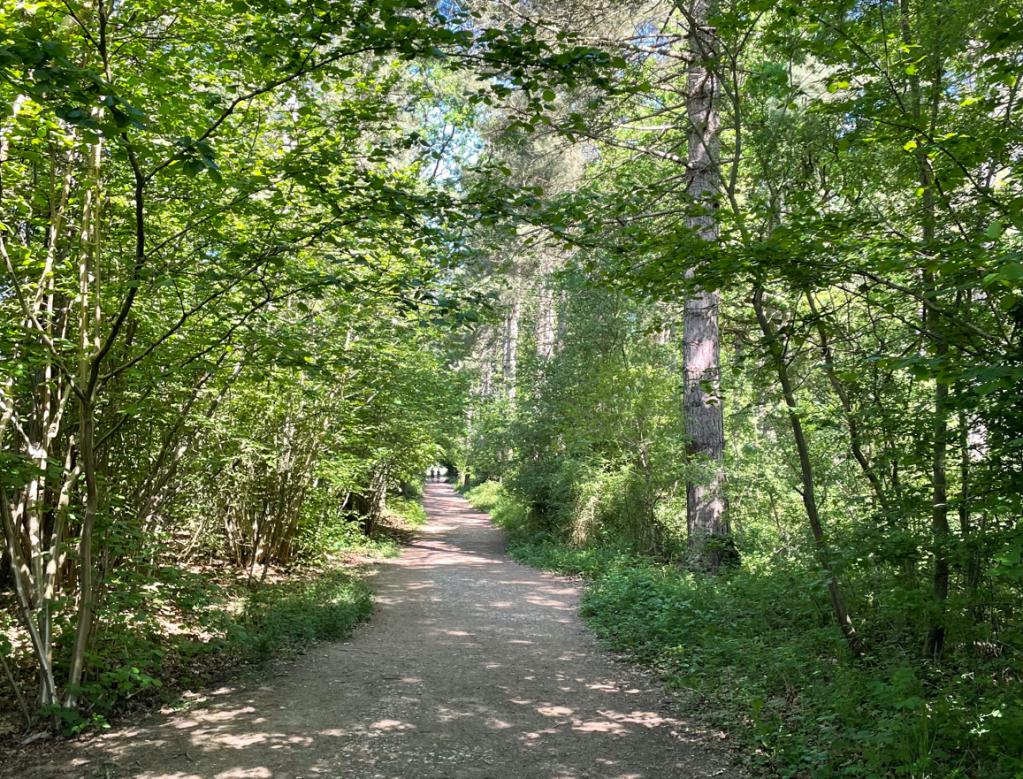
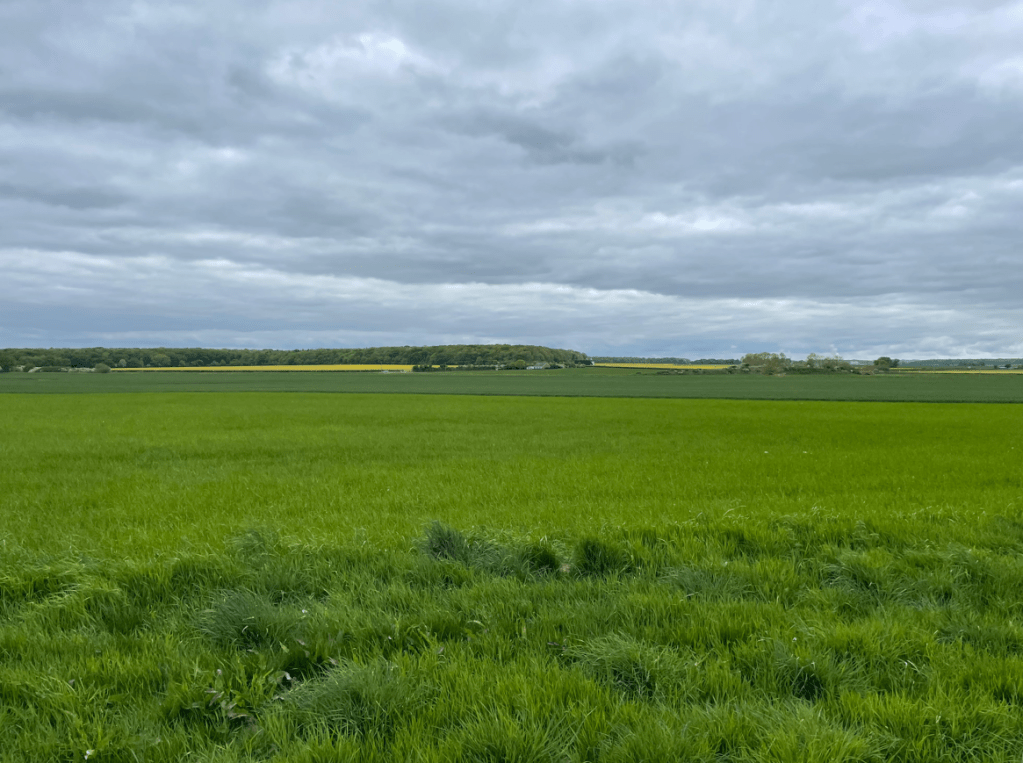
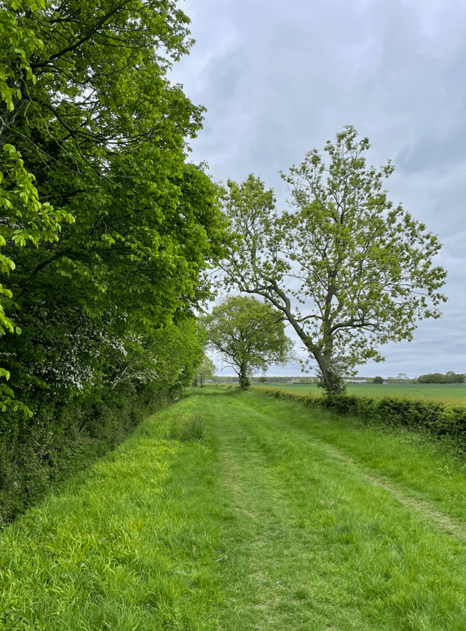
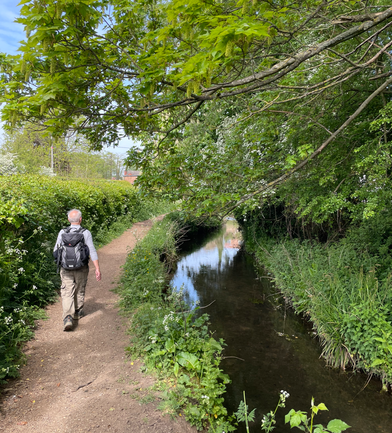
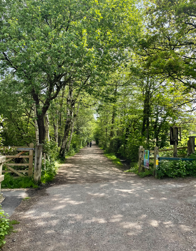
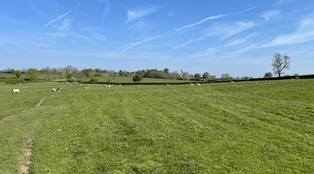
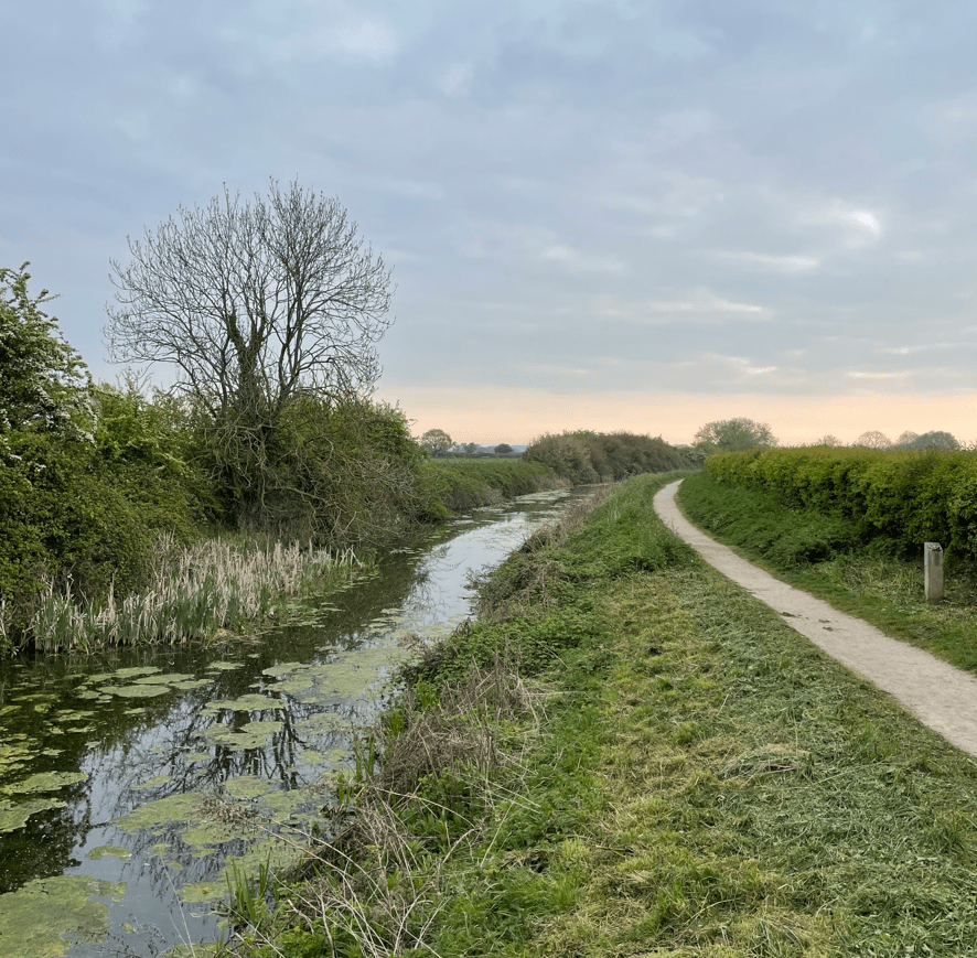
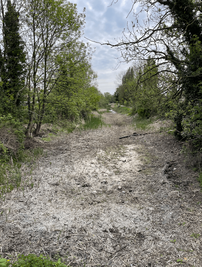
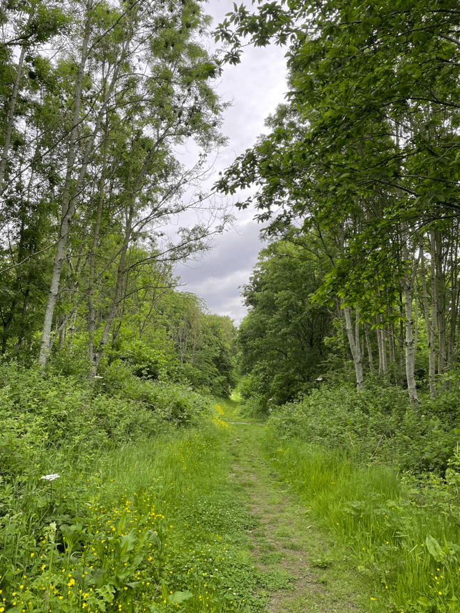
Shortly, we were passing through peaceful Bagworth Heath Woods. There would be quite a lot of walking through woods today.
At the edge of the wood we descended to reach a railway line and a level crossing. We wondered which one – turns out it is the disused Leicester to Swannington line which was opened by George Stephenson in 1832 – the first public railway in the Midlands. There were plans to reopen the line to passengers as the Ivanhoe line but they came to nothing. Mineral trains still use the line?
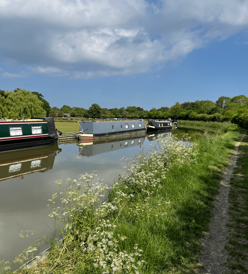
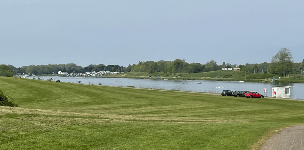
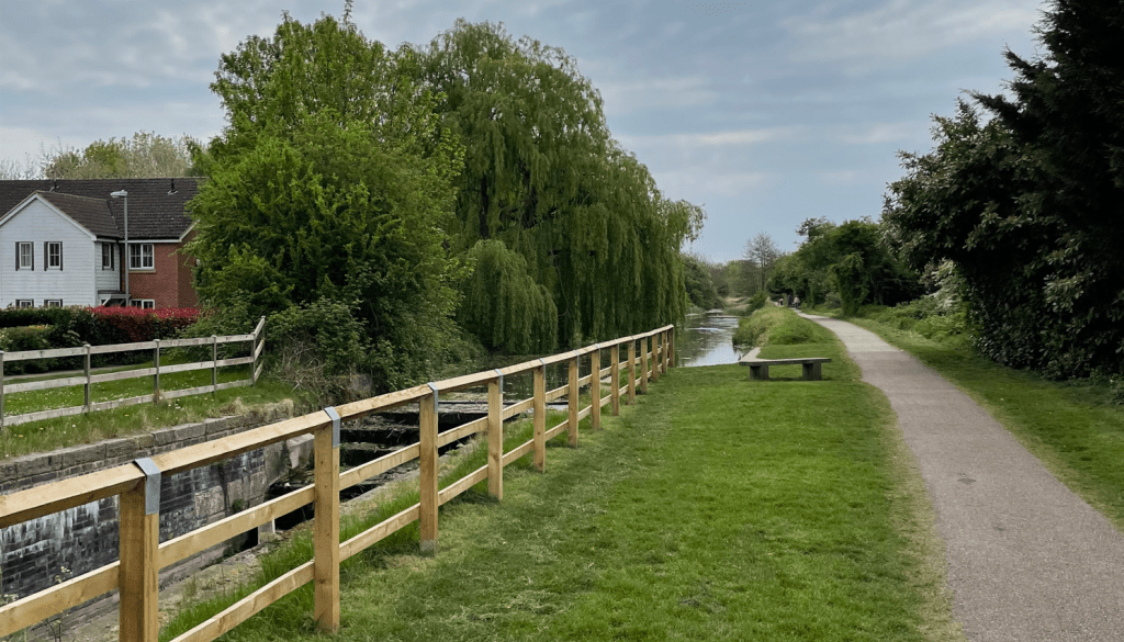
We skirted the side of Thornton reservoir and then continued along paths beside Brown Wood.


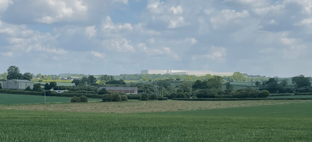
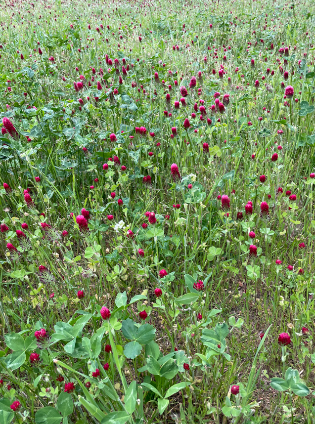
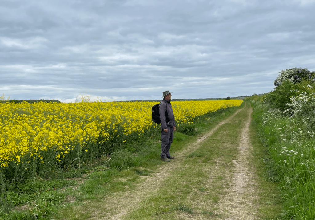
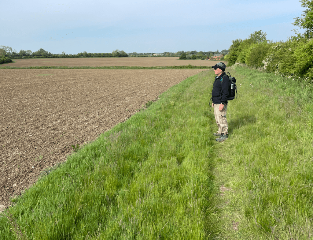
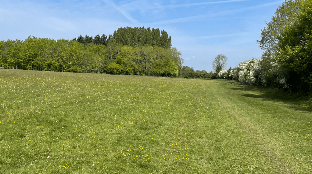
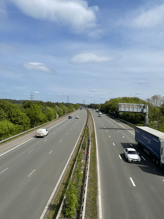
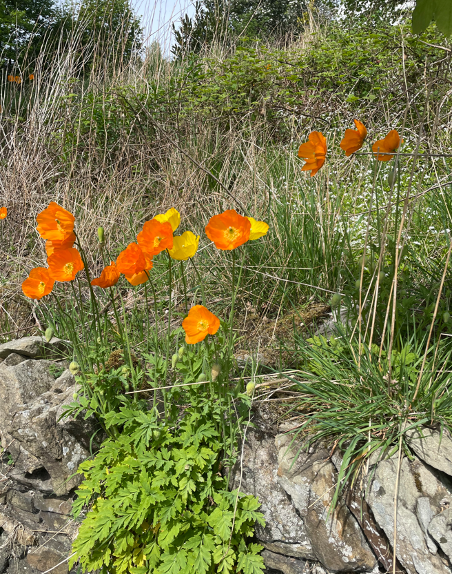
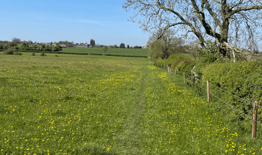
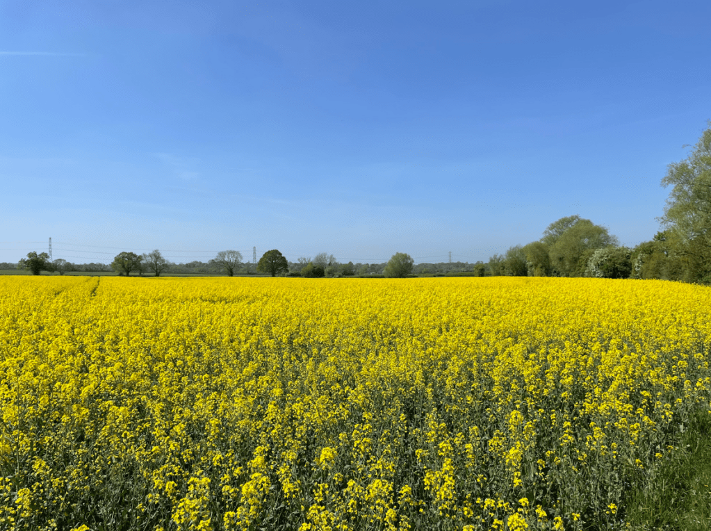
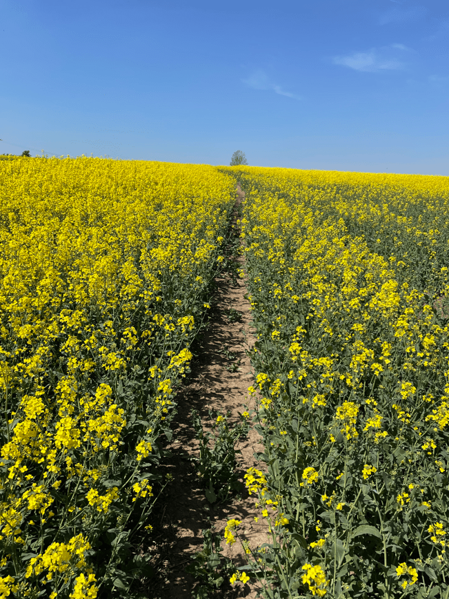
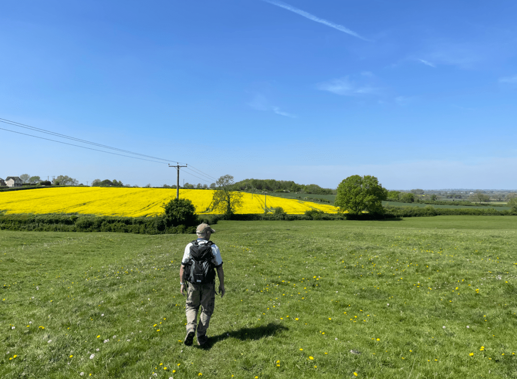
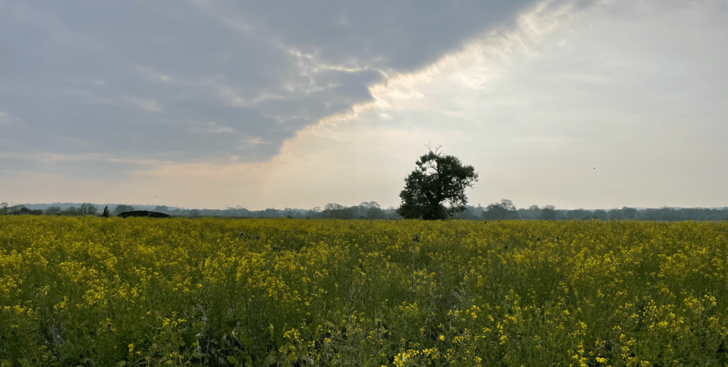
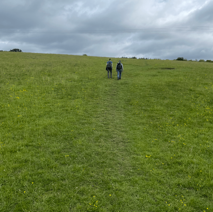
There were some slight inclines along the way as we headed towards the M1. The bright yellow buttercups were everywhere and looked fabulous.

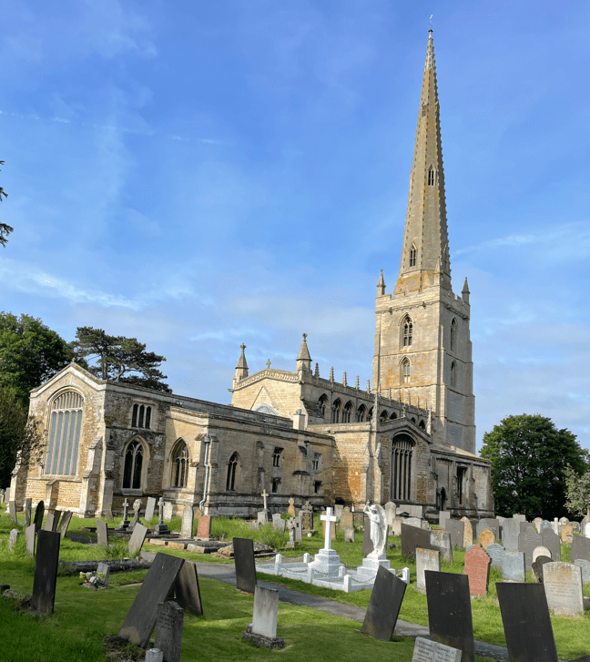
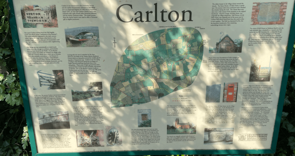
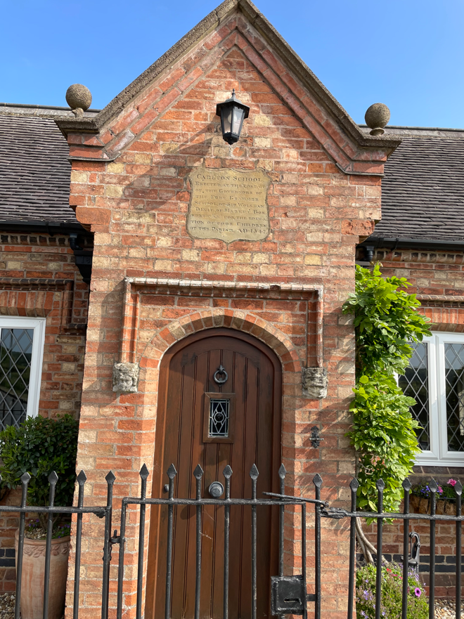
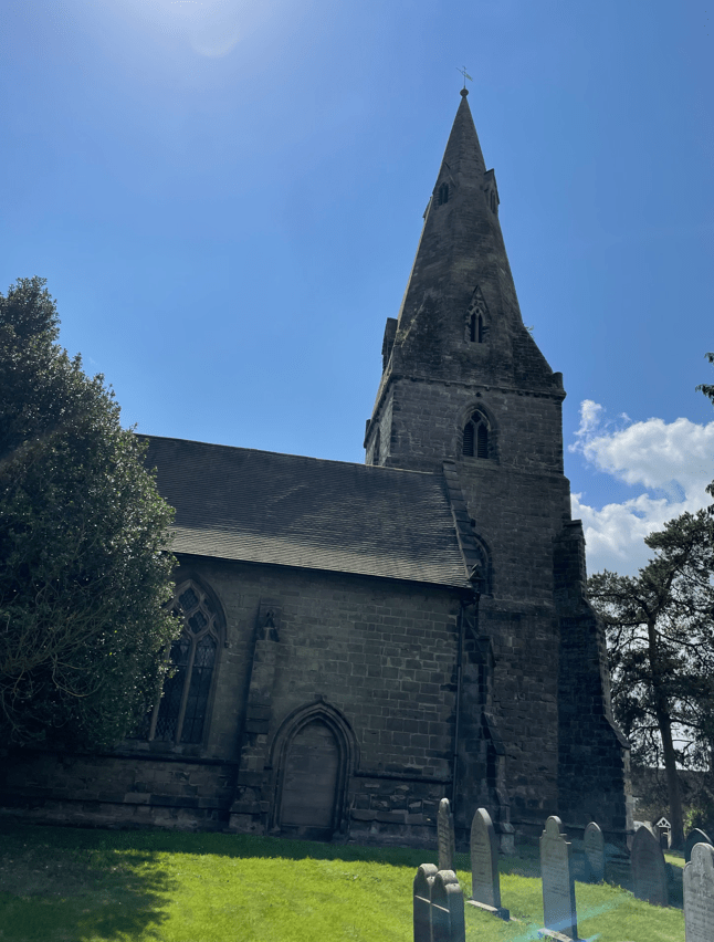
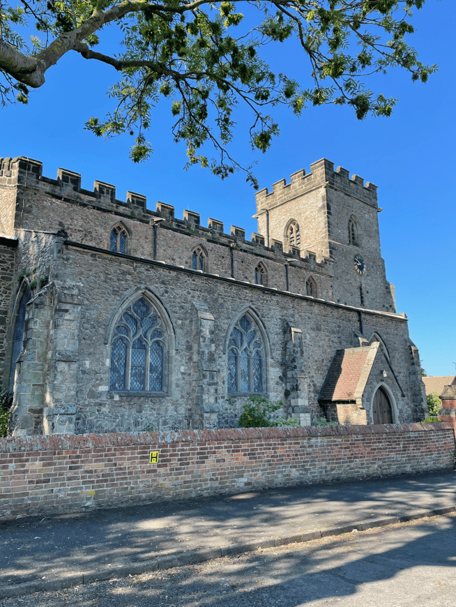
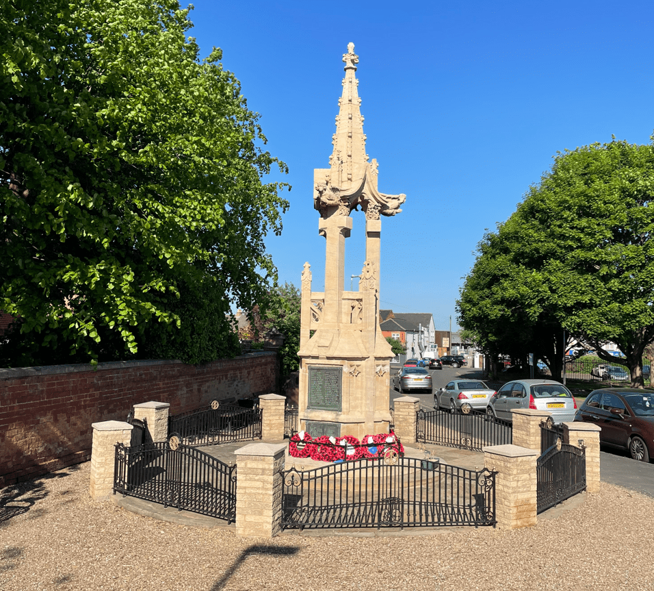
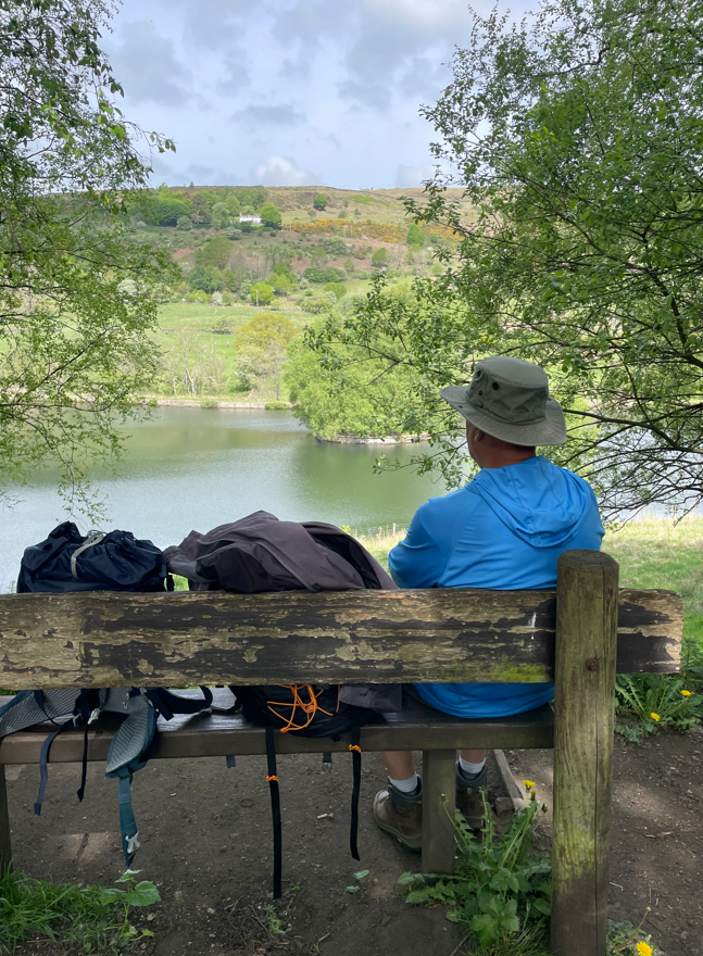
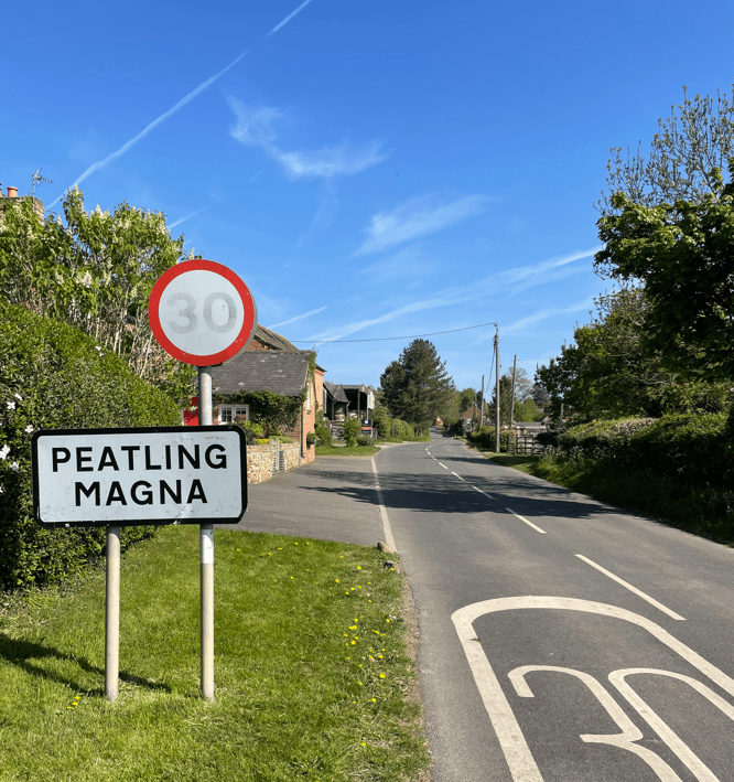
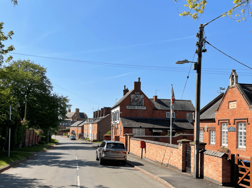
After passing through the tunnel under the M1 it was a short walk to reach Markfield. It is a village that remembers its history – there are plaques on numerous building denoting their previous history. We stopped at a handy bench and took a break.

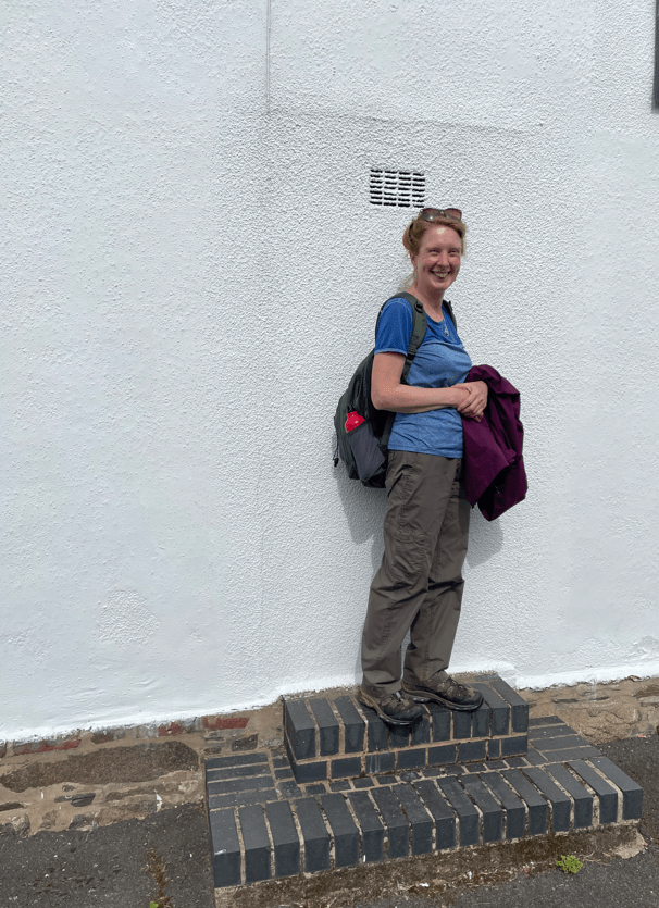
Angela spotted steps in front of what had been a door way but was bricked up now. I wonder why they did not remove the steps?
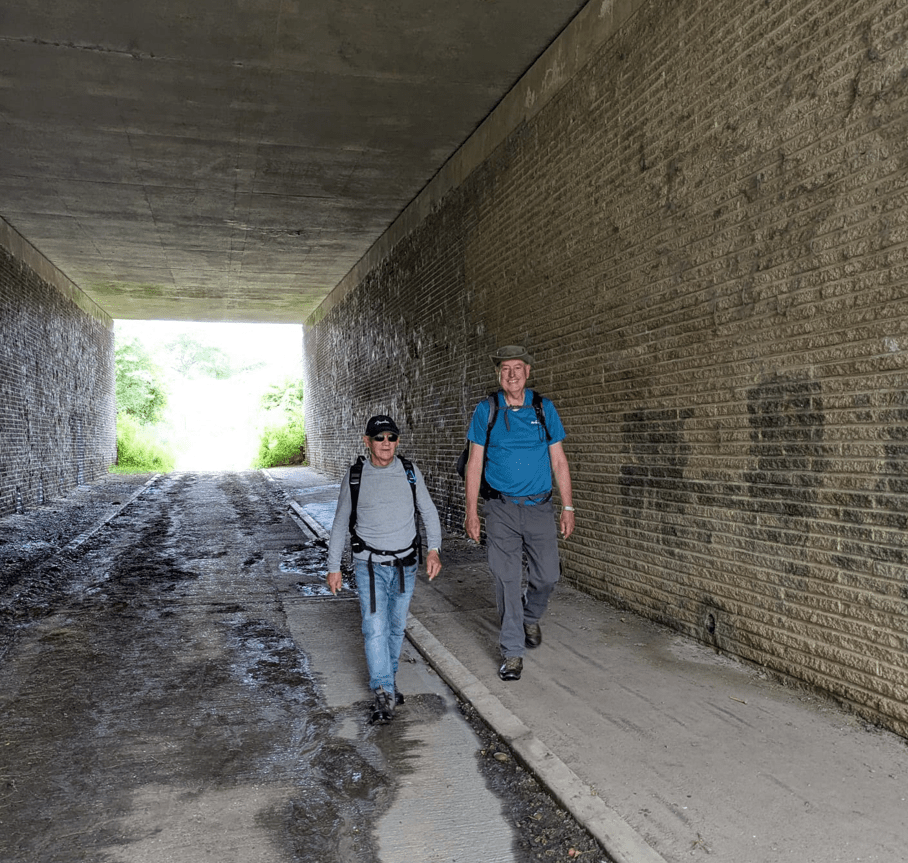
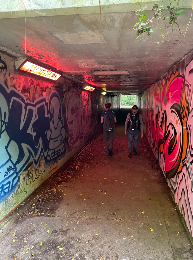
Leaving Markfield we took an underpass under the A50 – the graffiti artists had been at work!
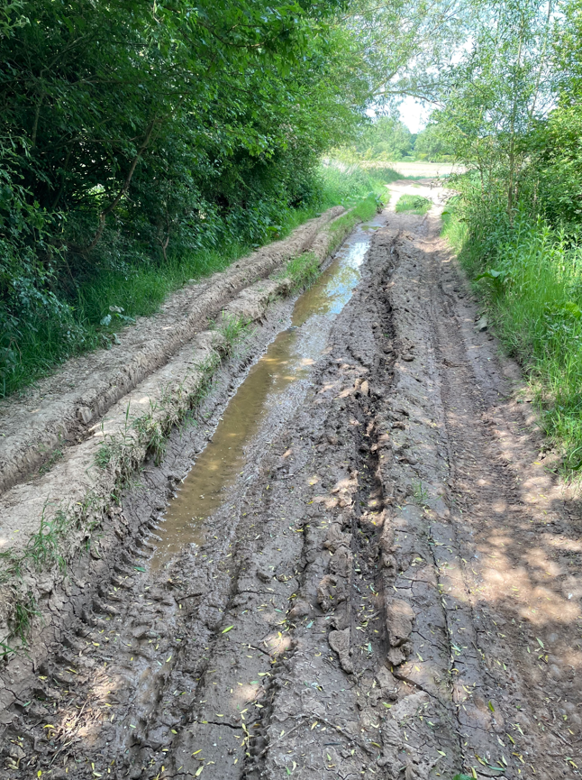
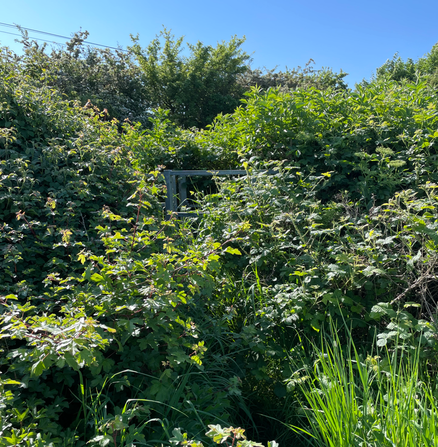
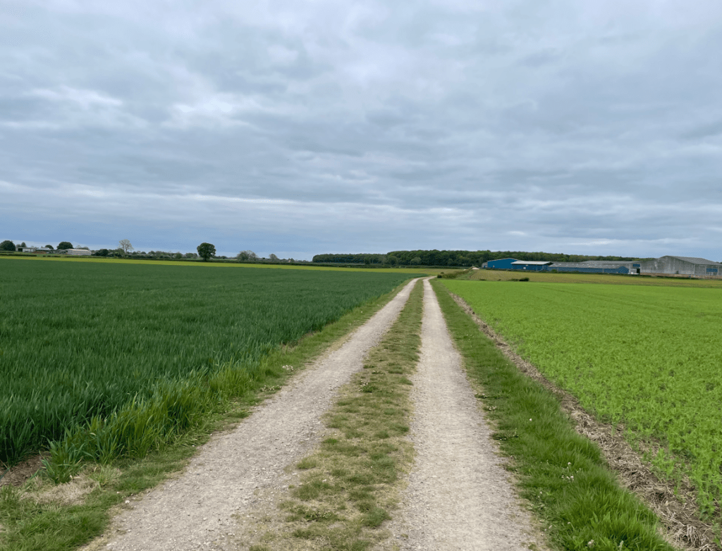
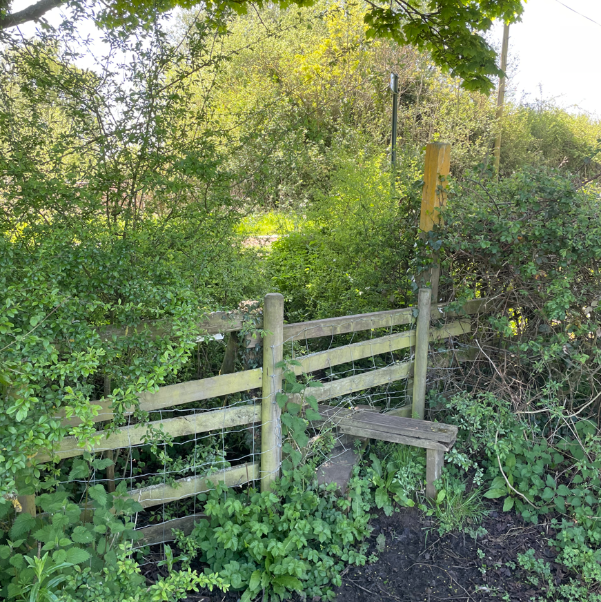
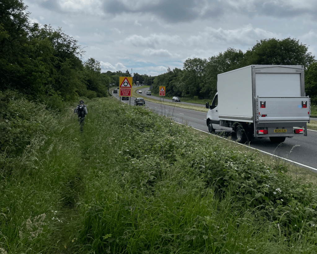
After passing under the A50 the route took us beside the road for a few hundred metres – the path was overgrown but we forged a way through.
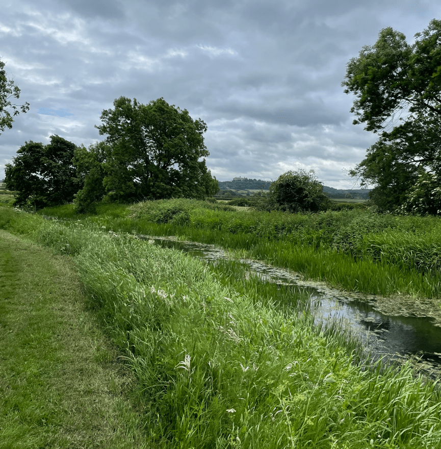
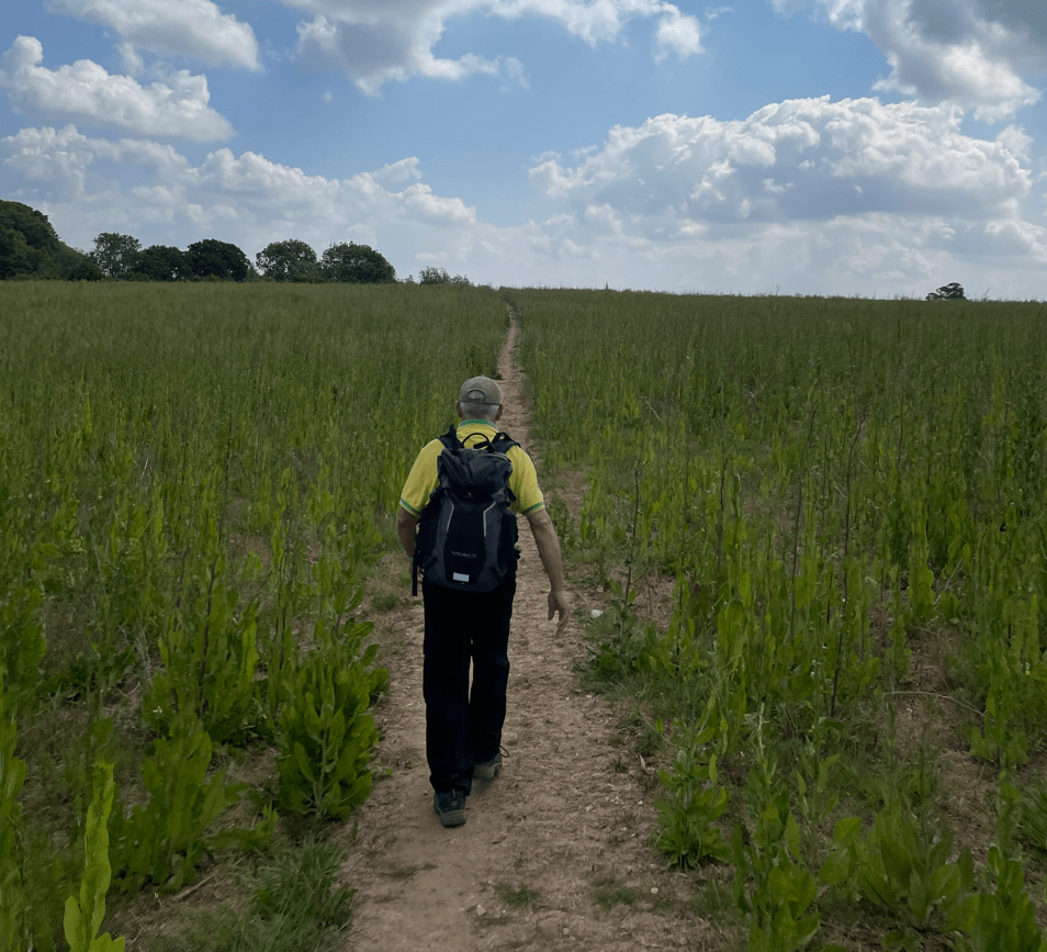
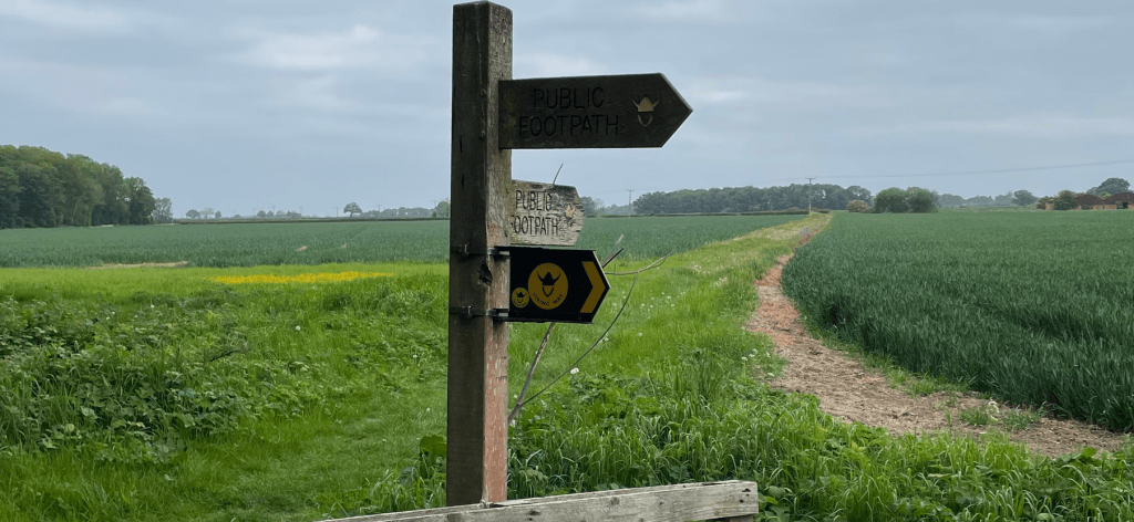
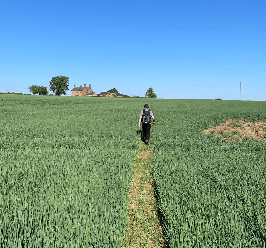
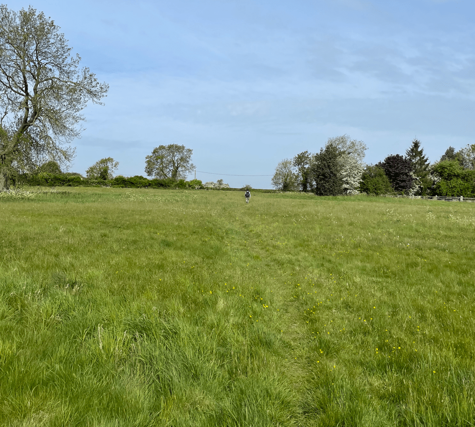
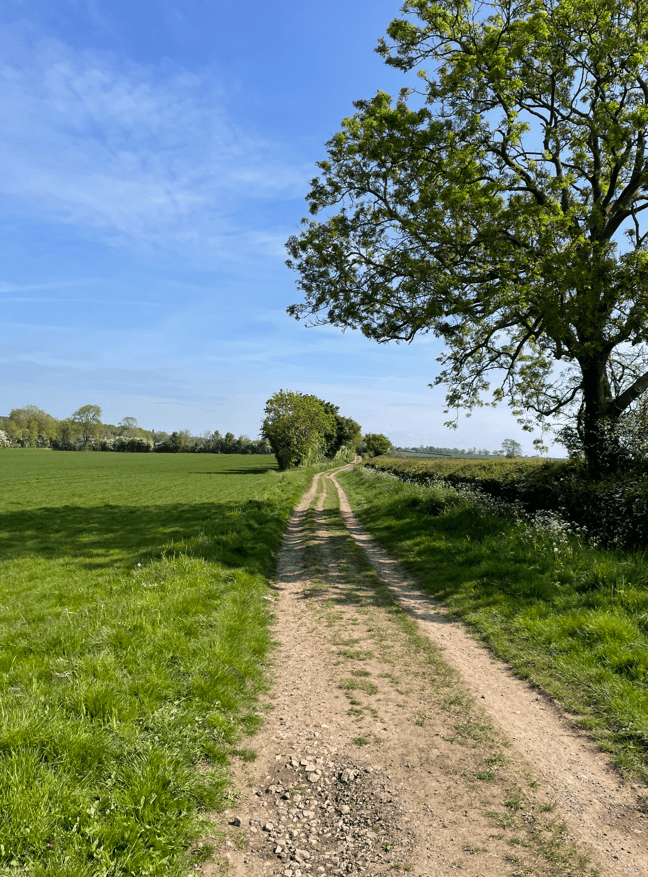
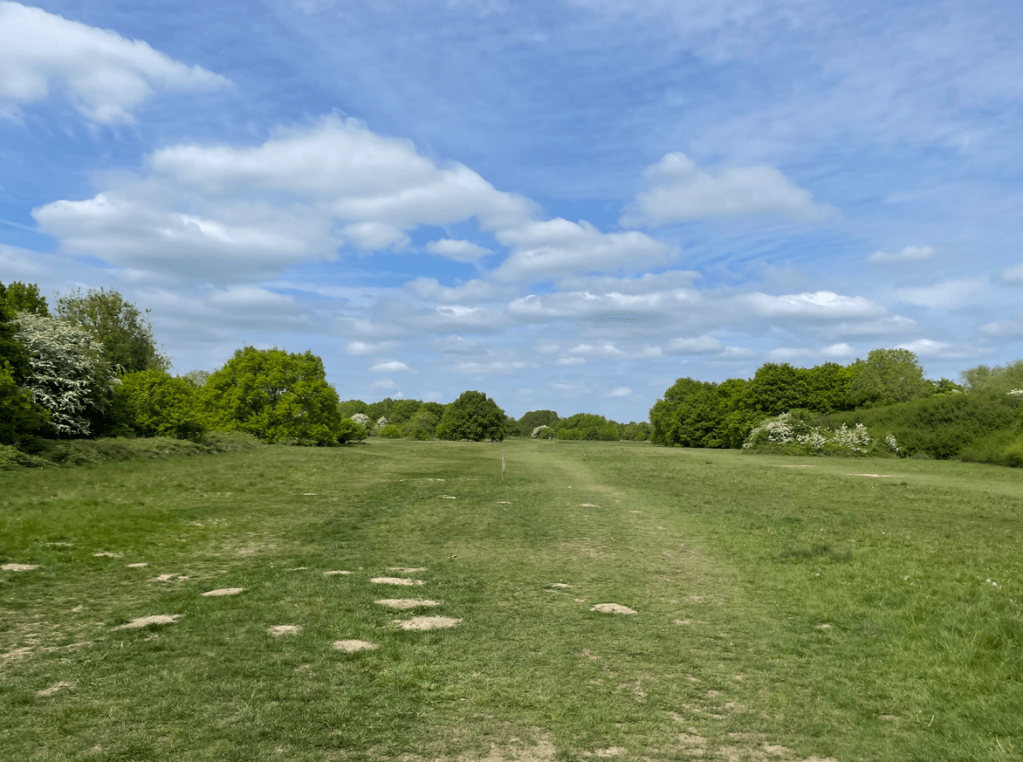
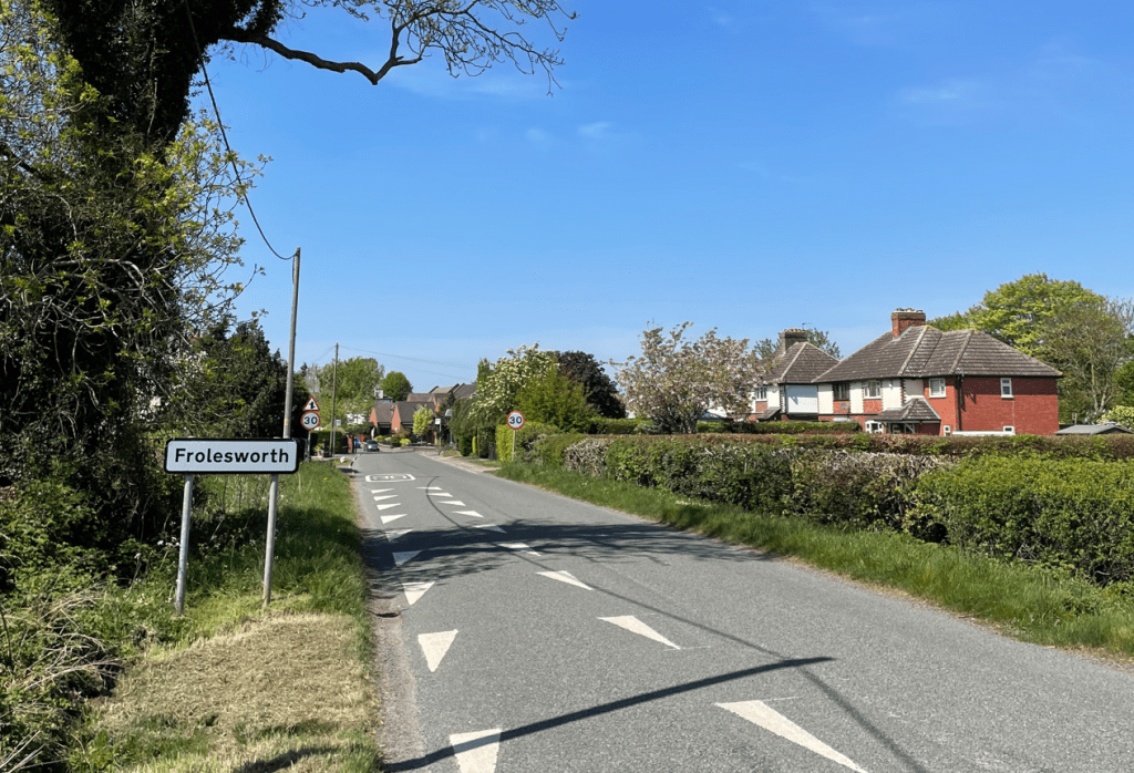
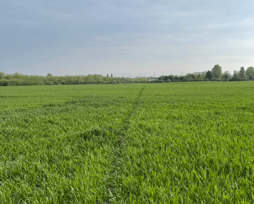
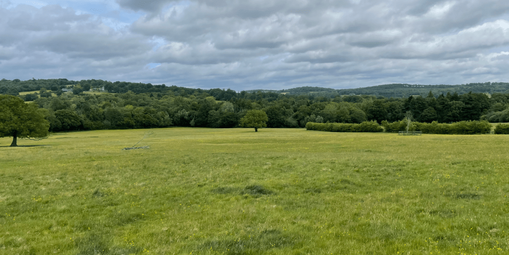
Eventually we reached open fields and made our way to Newtown Linford.
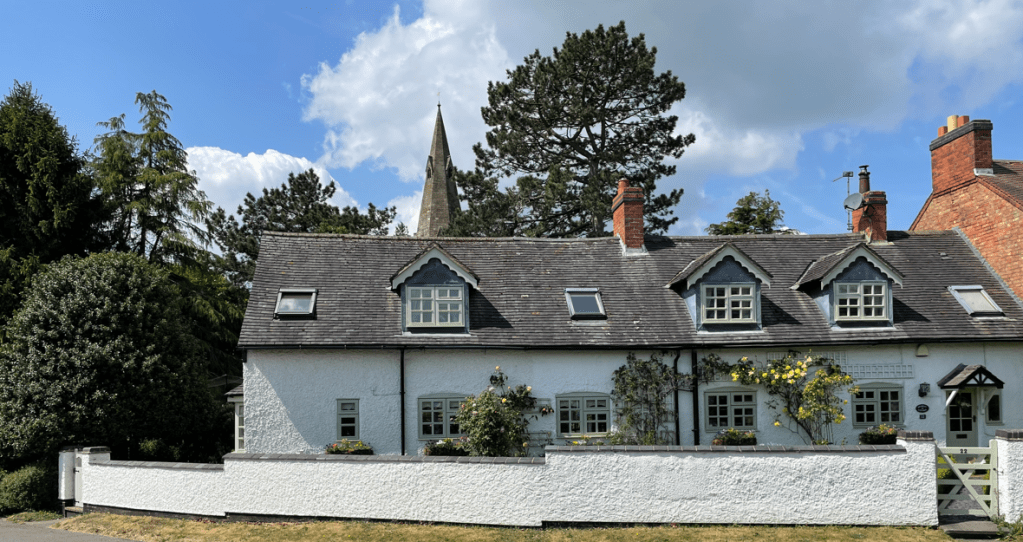
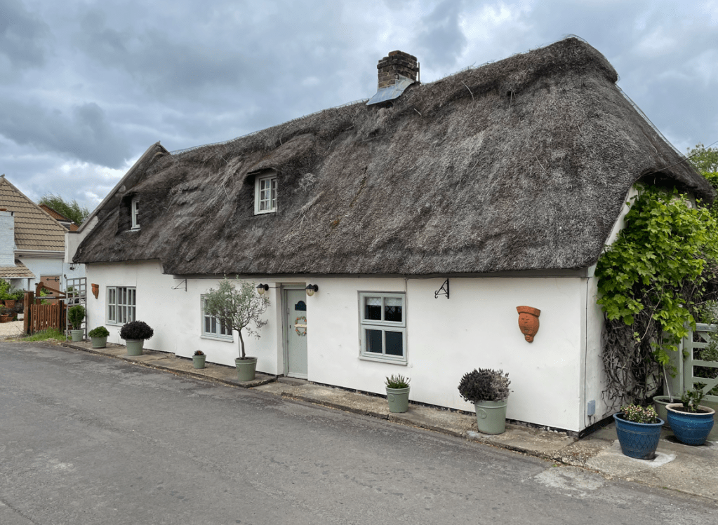
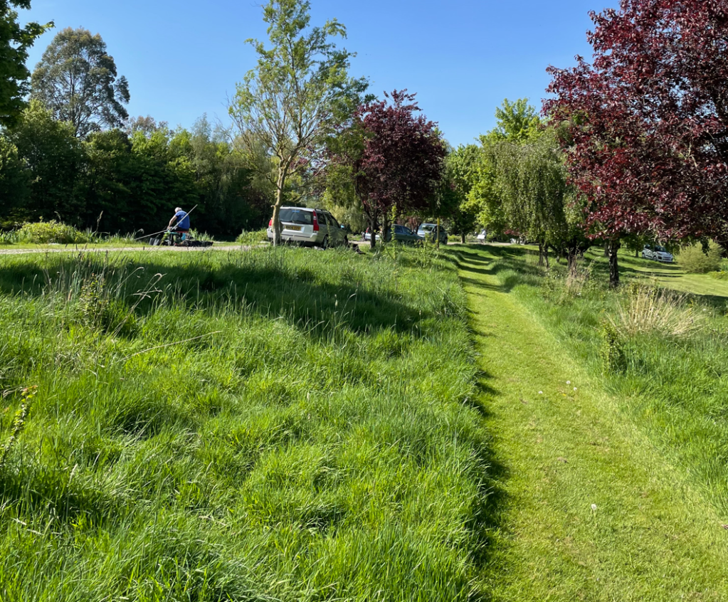
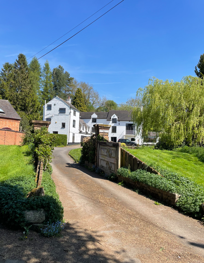
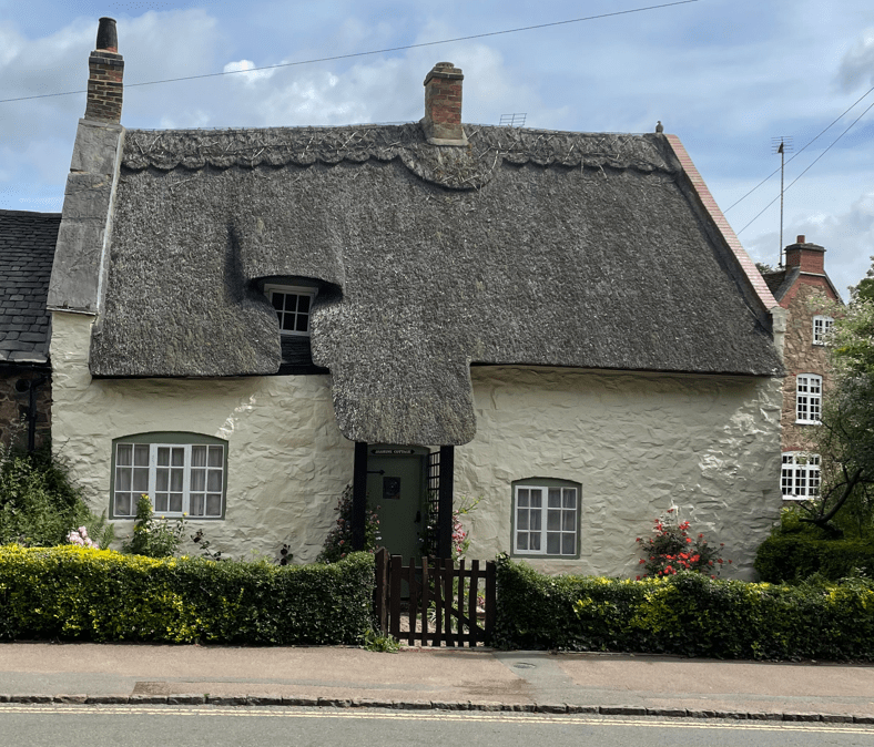
As we entered Newtown Linford we passed the cricket club – the grass was a lush green and a ride-on lawn mower was cutting the grass to perfection. A couple of horse riders passed us riding along the road and said hello. Thatched cottages lined the road – it was all quintessentially English.

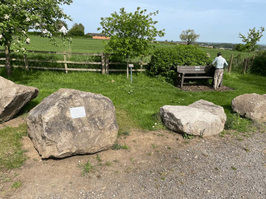
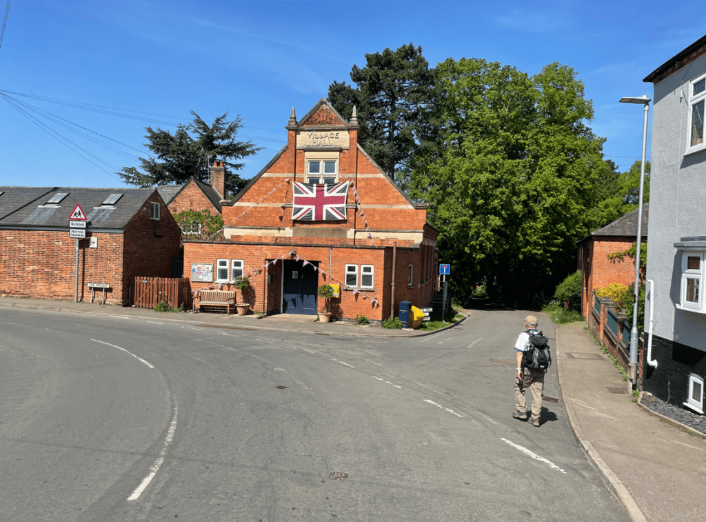
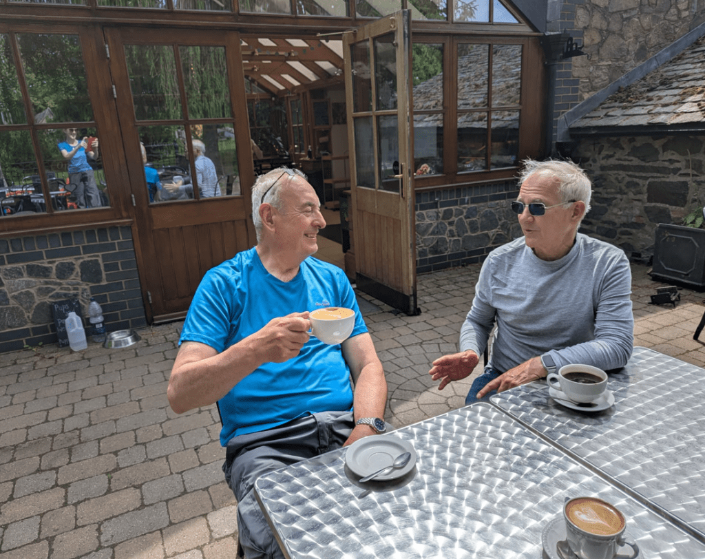
Soon we entered Bradgate Park and the Start/Finish point for The Leicestershire Round. Mick and I posed for the traditional end of walk photo.

Angela asked, would we like a coffee?- you know the answer to that question!
It had been a 100-mile journey and you can read more of my reflections following the walk in a subsequent blog.
A big thank you goes to Mick for his good company, bad jokes and banter along the way.
Happy Walking ! 😊🚶