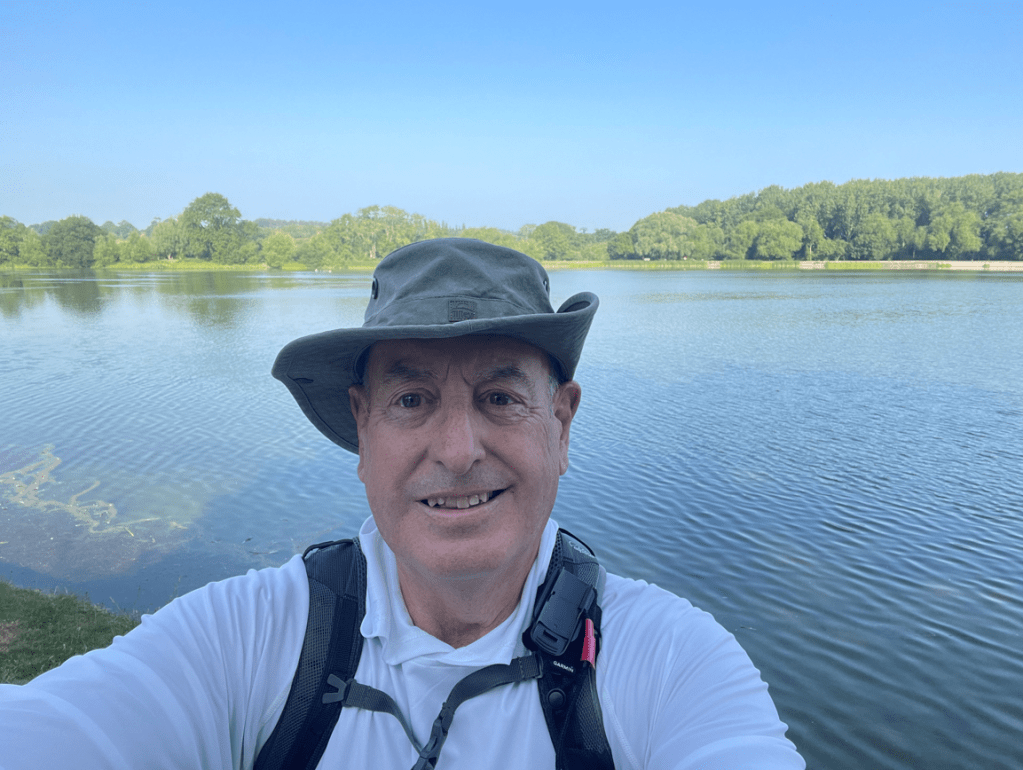
Hello and welcome back to my blog 😊.
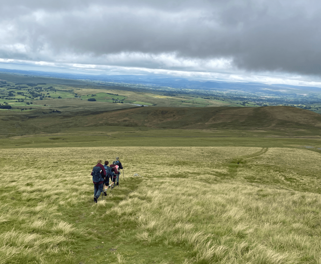
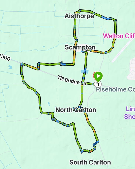
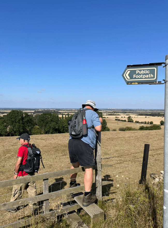
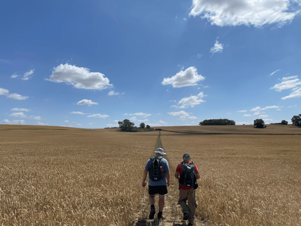
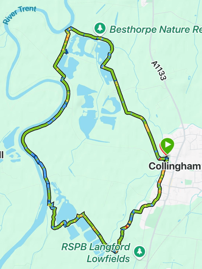
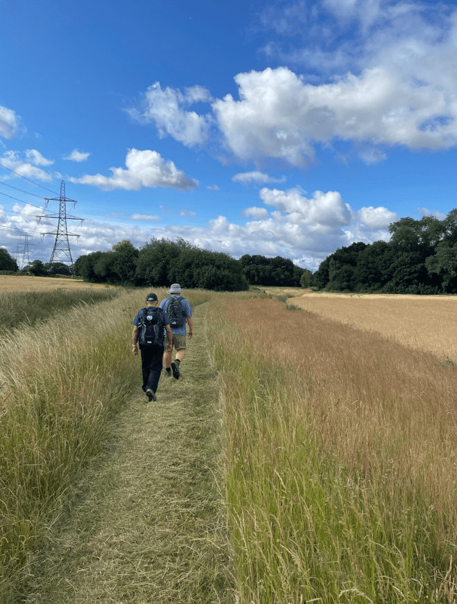
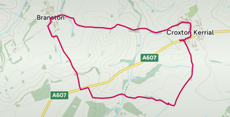
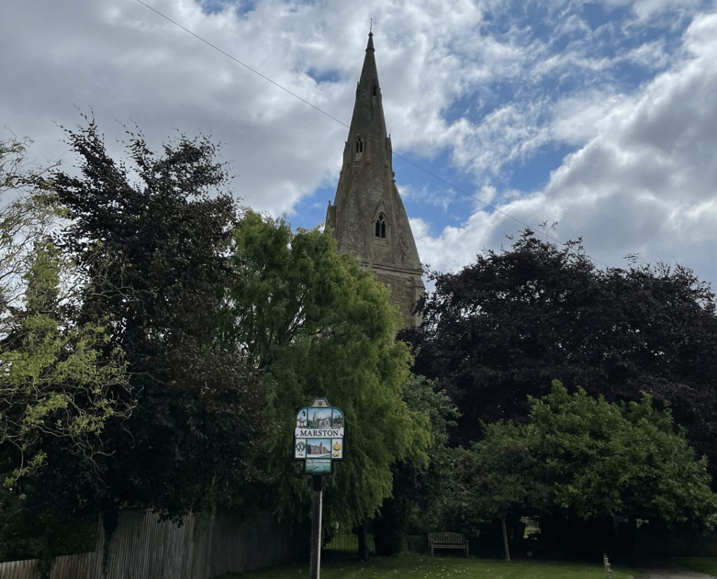
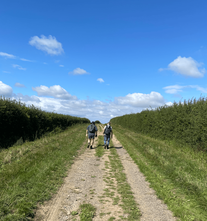
Today, the Three Amigos enjoyed a 8-mile circular walk from the Lincolnshire village of Marston to Barkston and back.

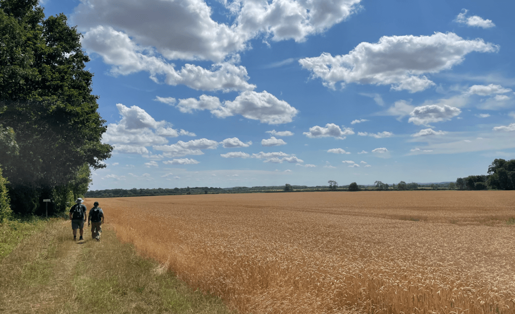
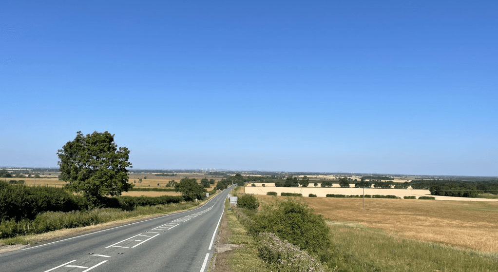
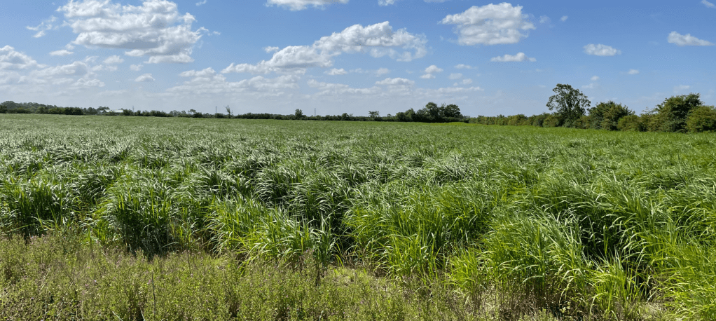
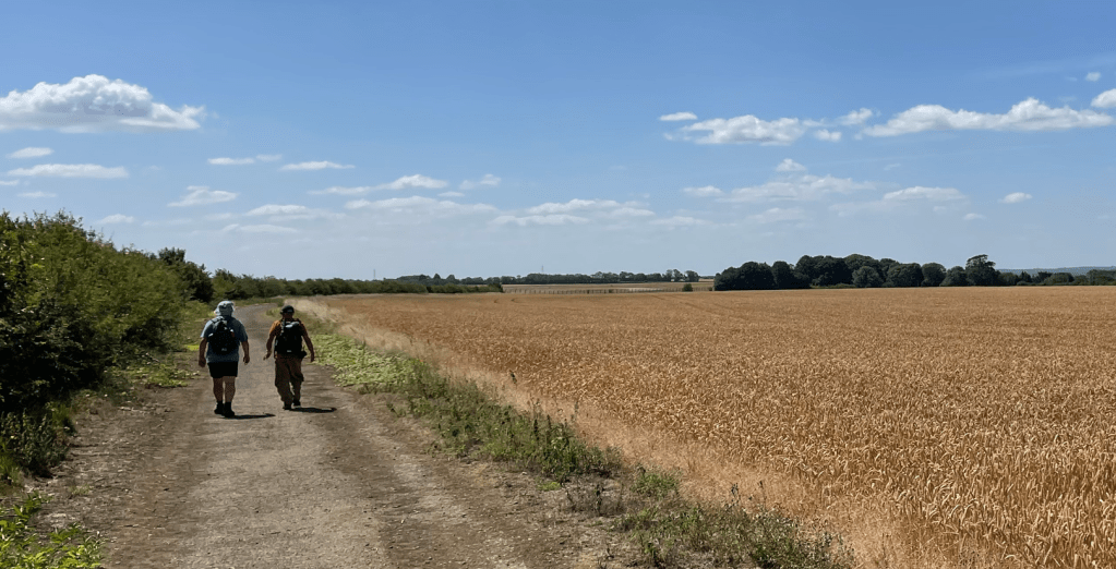
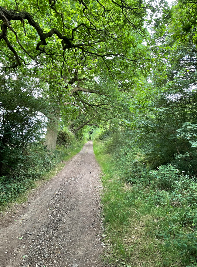
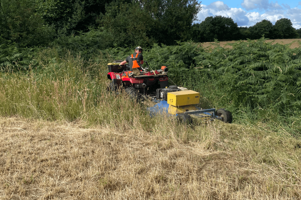
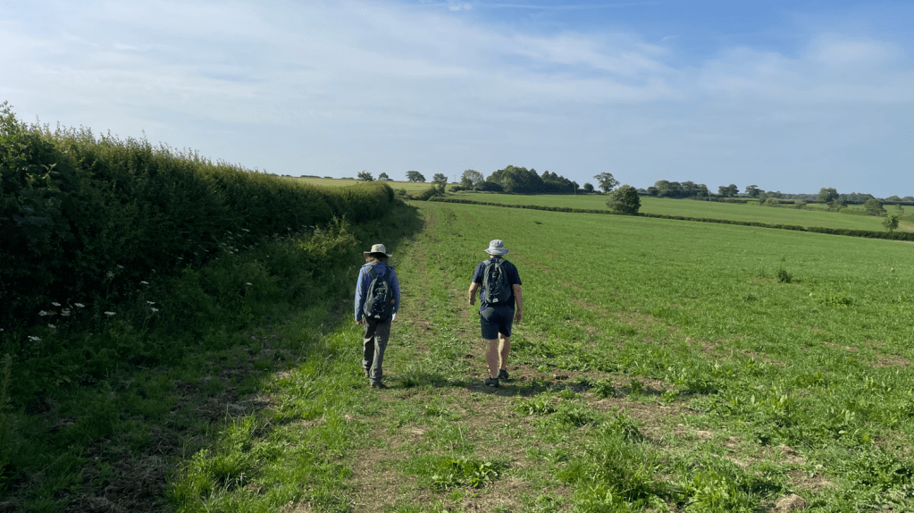
The walk was mainly through well maintained lanes and fields. It was quite a breezy day and the wind was mild, so it was pleasant. Chris was leading this walk and brought a smile to my face first thing by presenting me with a couple of ‘fancy’ scotch eggs – obviously, he was tired of me whingeing on recently that my ASDA store is forever running out of scotch eggs, and, if you are a regular reader, you will know that I do enjoy a scotch egg whilst out walking!
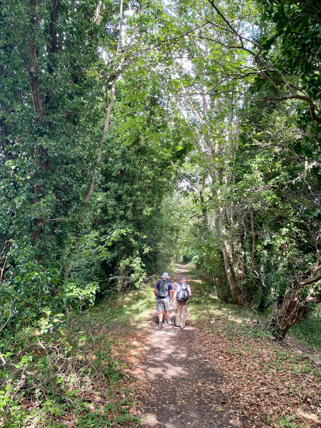
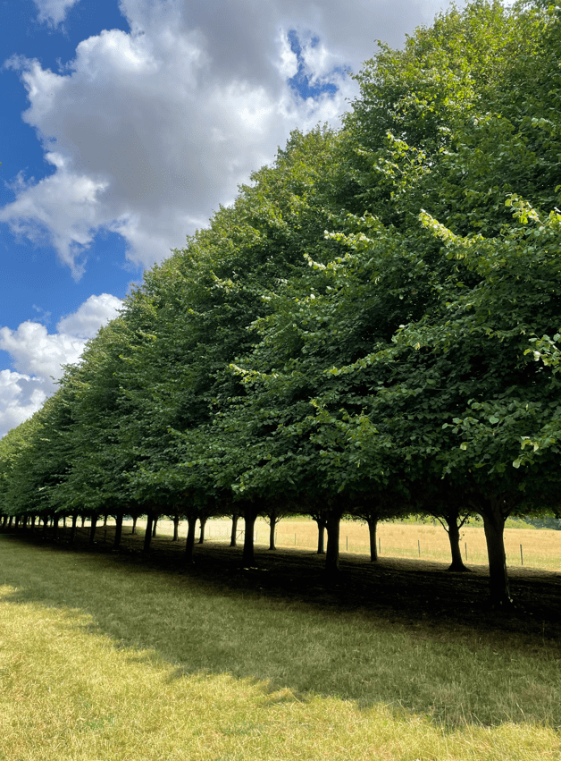
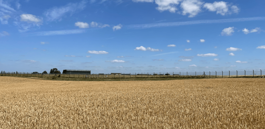
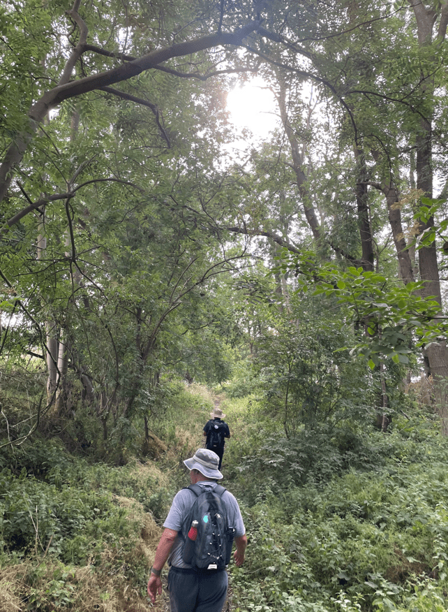
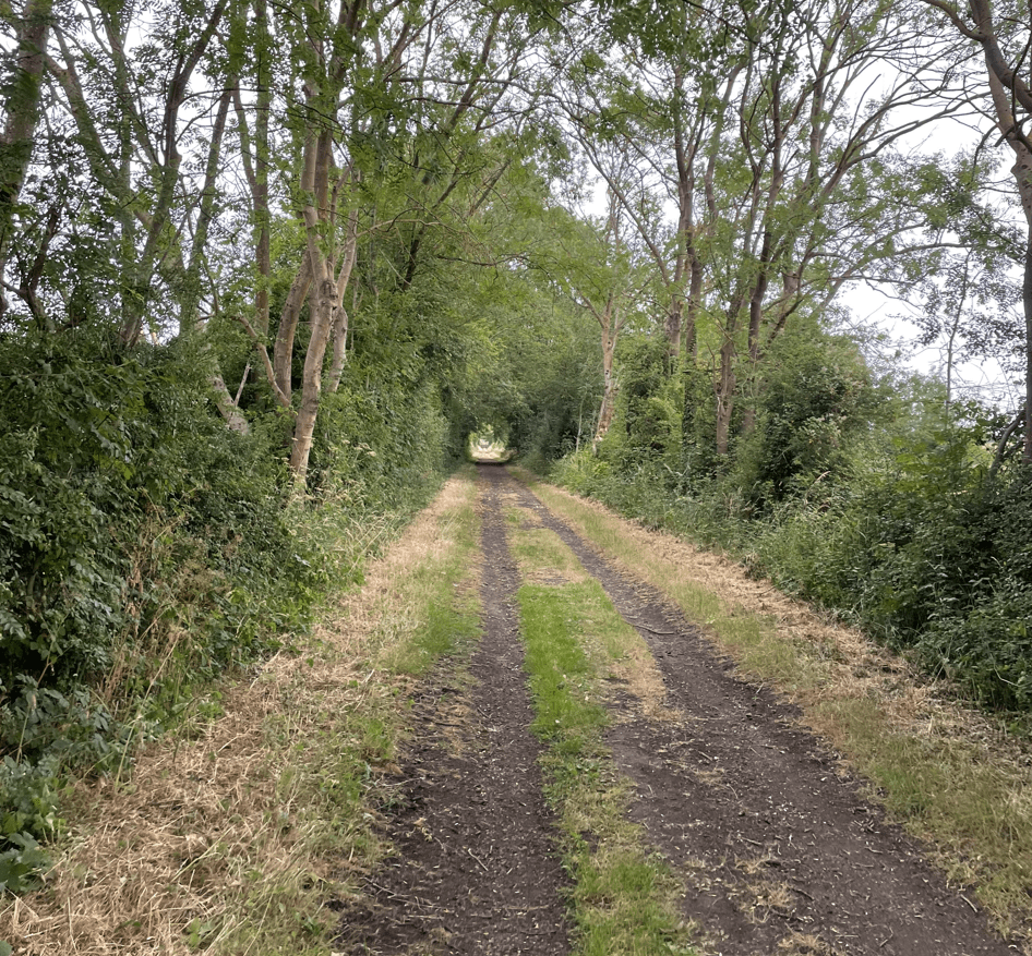
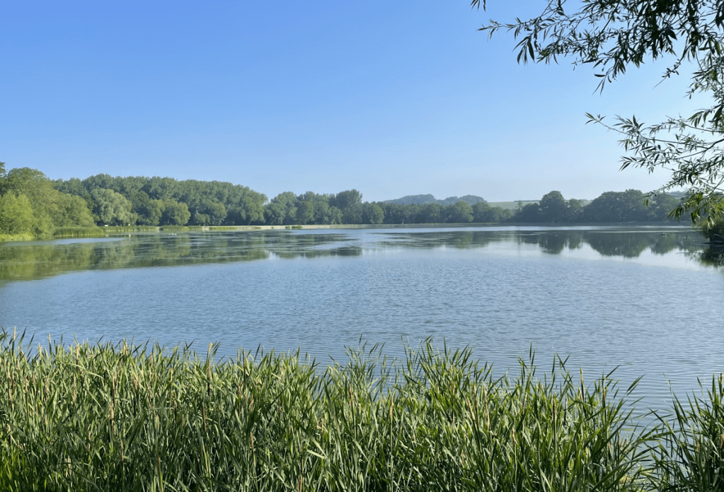
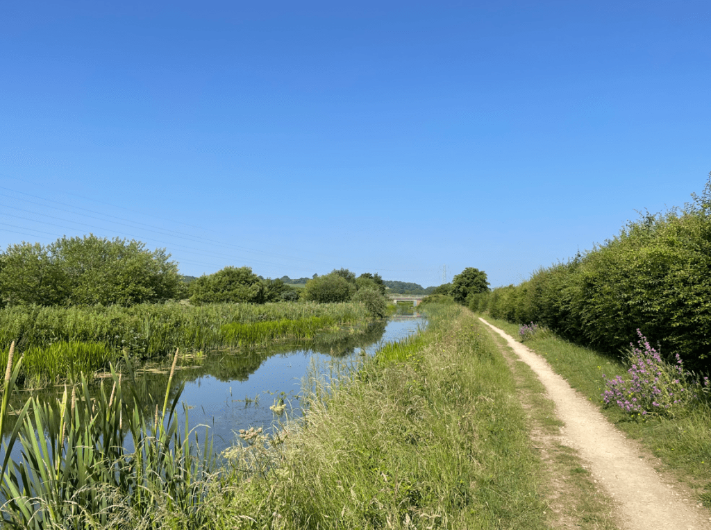
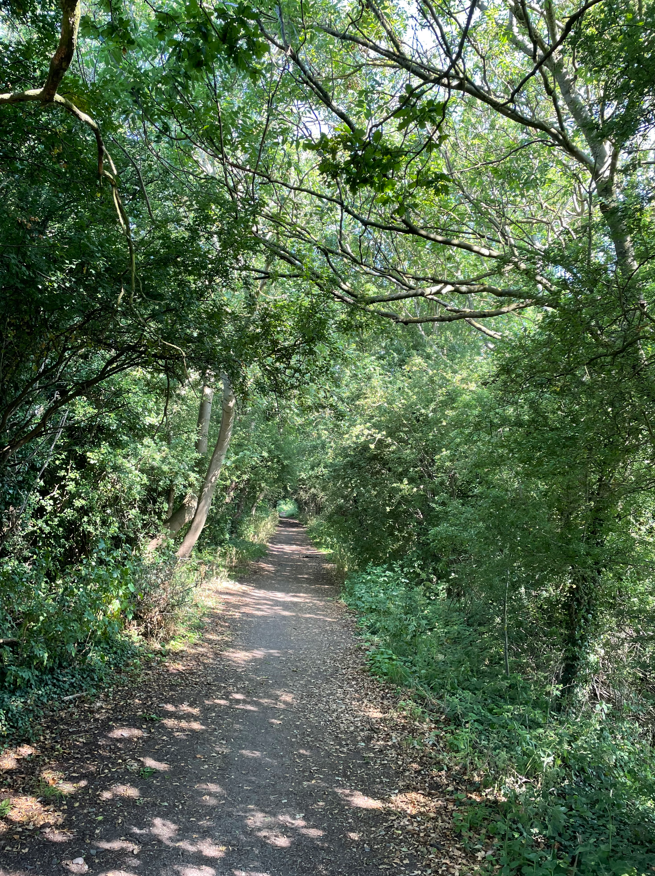
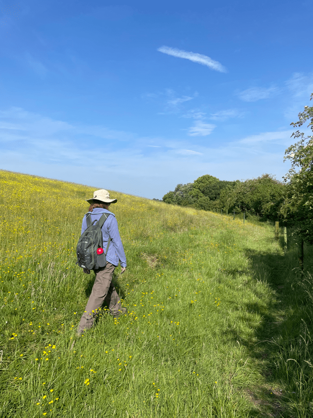
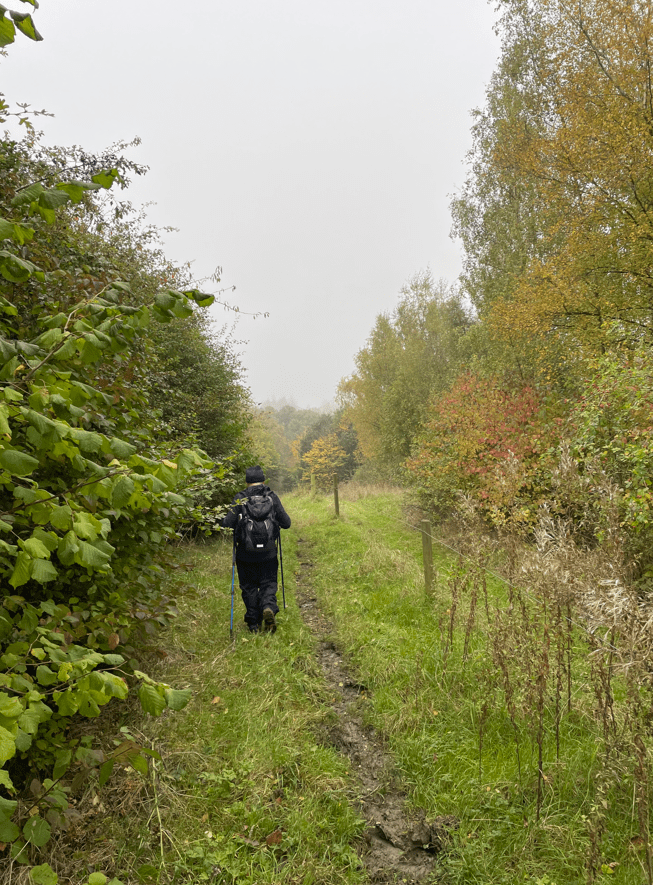
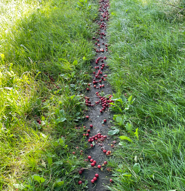
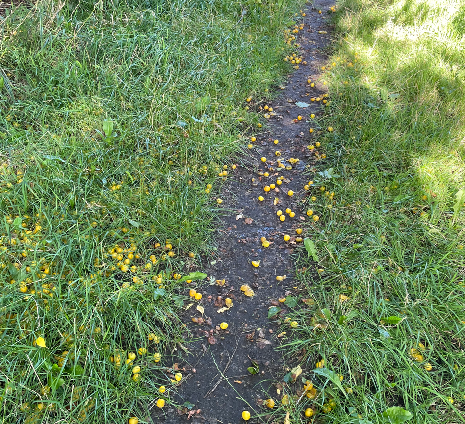
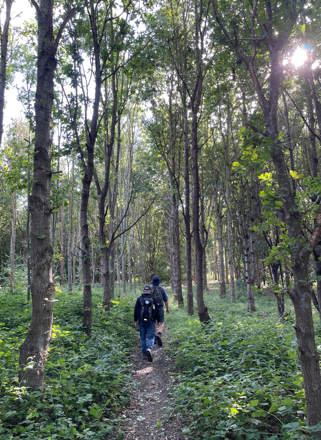
We set off across fields, picking up a tree-lined path close to some wetlands. The floor was carpeted in various berries, fallen from trees which clearly had an abundance of such berries. A bumper crop this year?
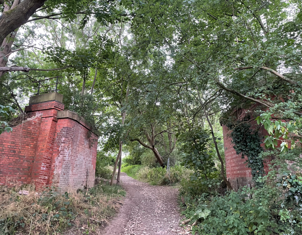
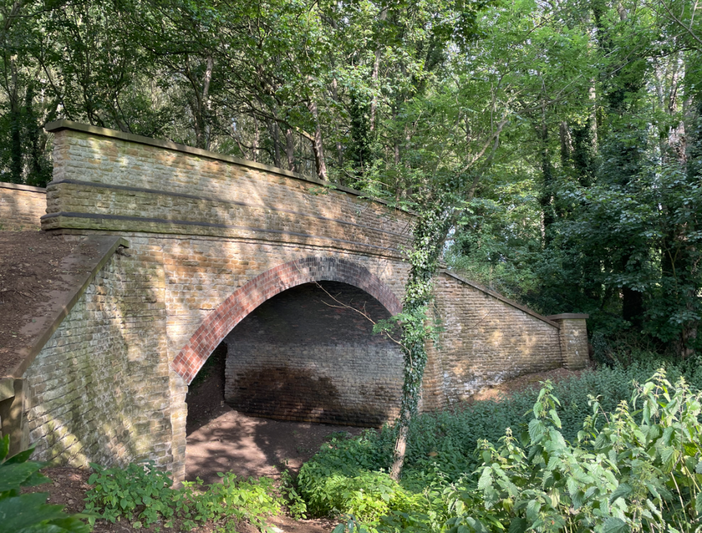
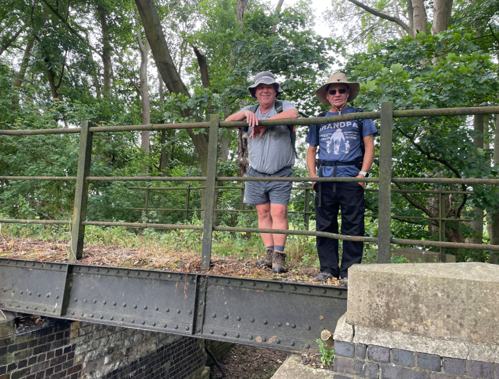
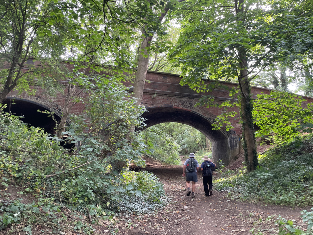
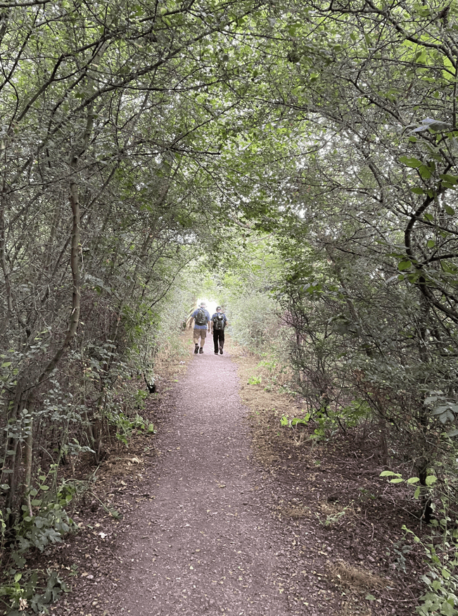
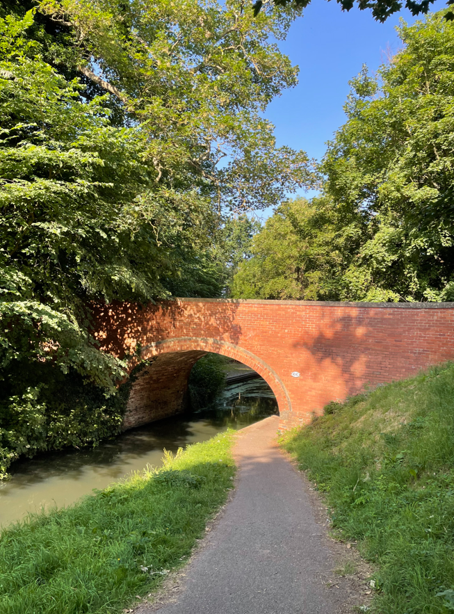
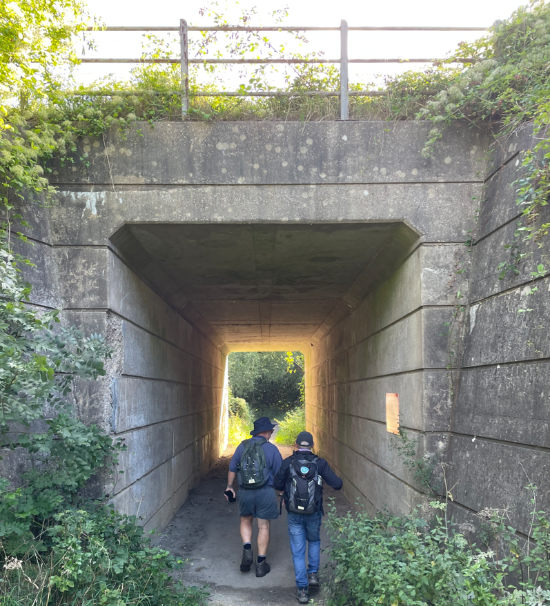
We passed by the local sewage works (hold your noses!) and then through a tunnel under an active railway line.
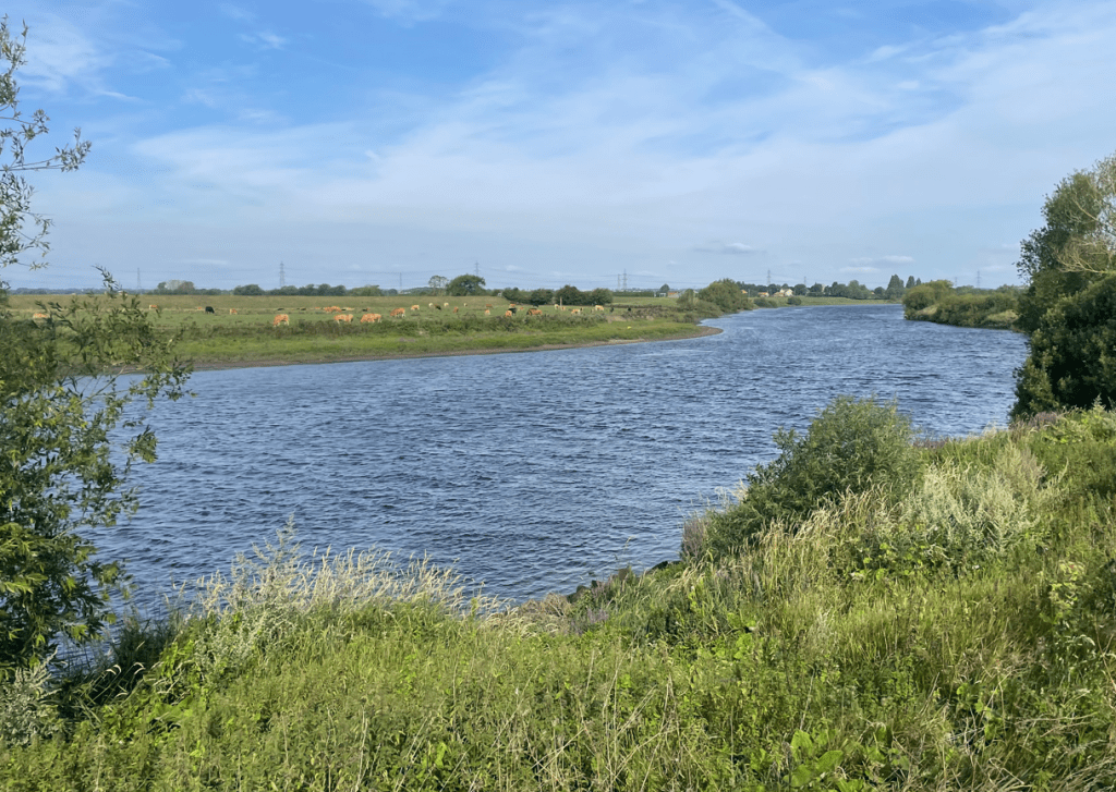
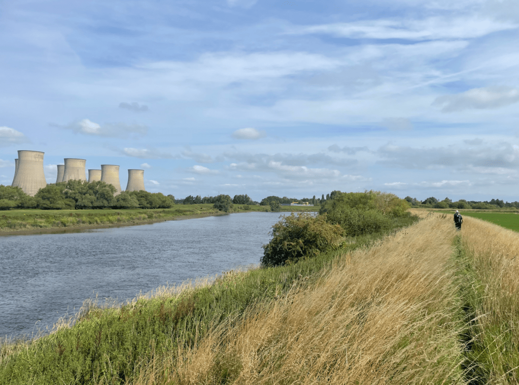
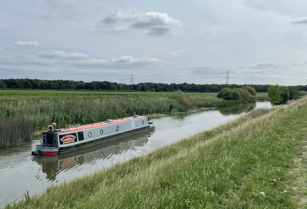
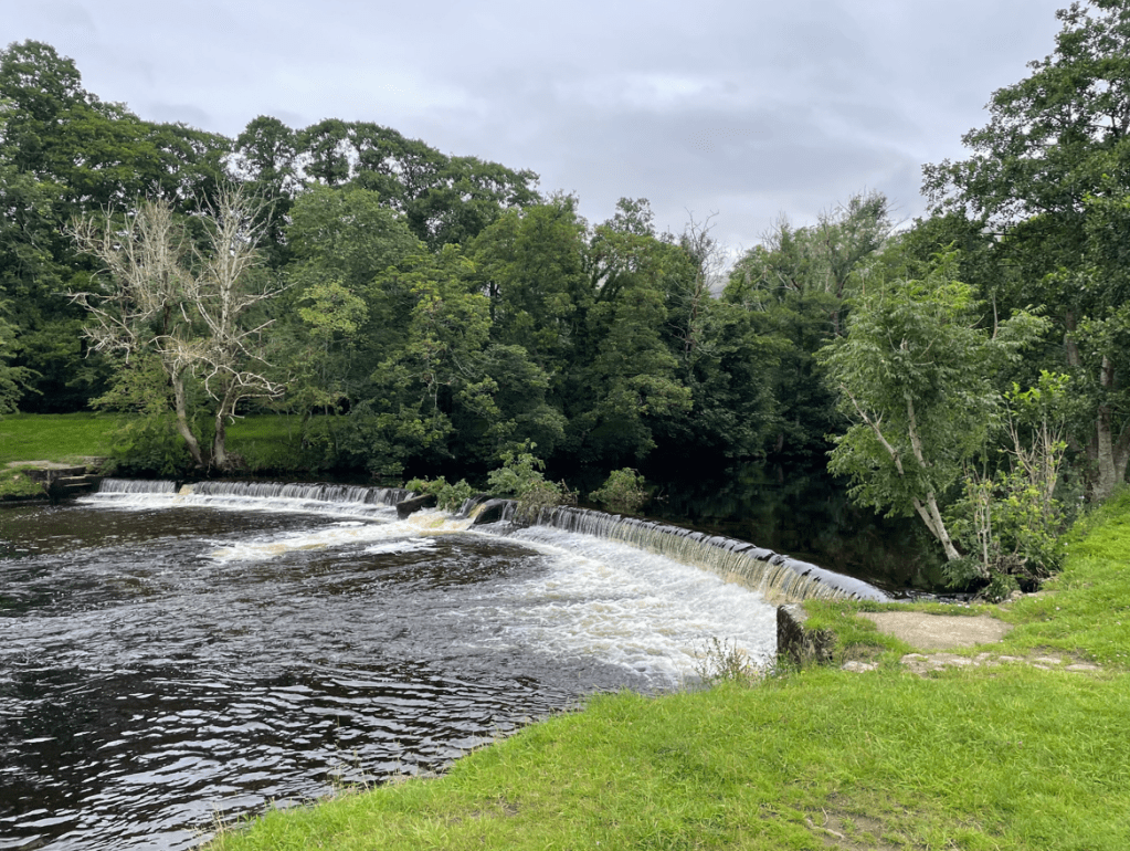
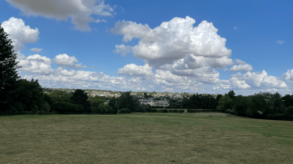
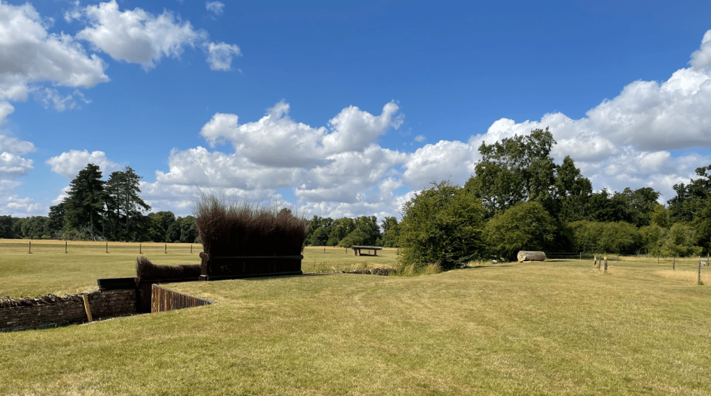
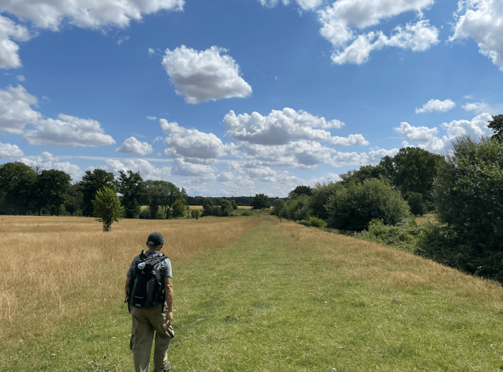
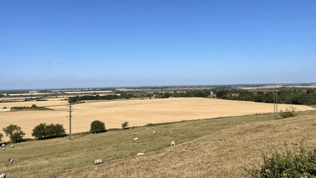
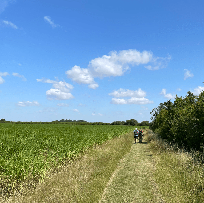
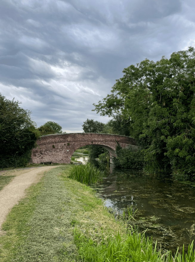
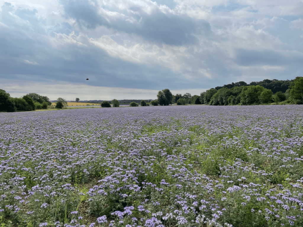
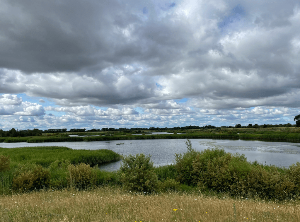
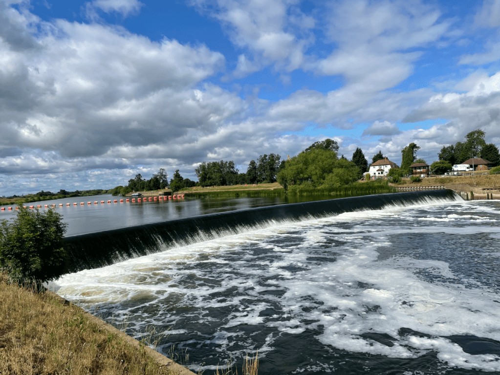
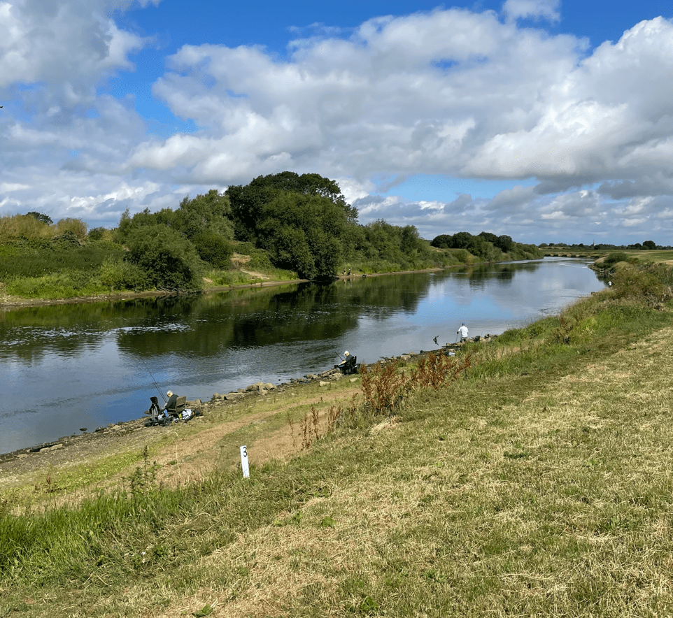
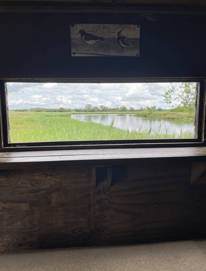
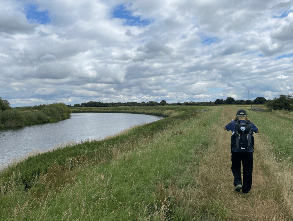
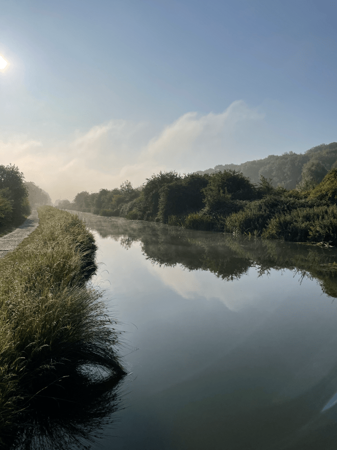
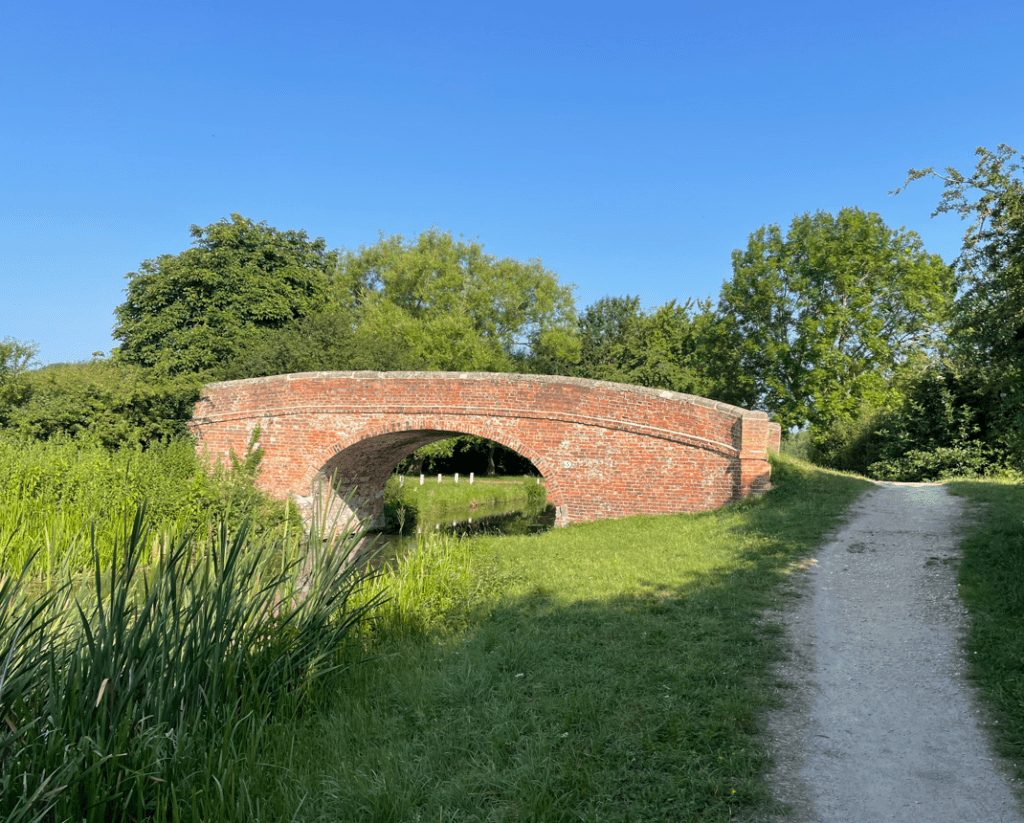
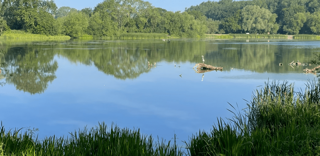
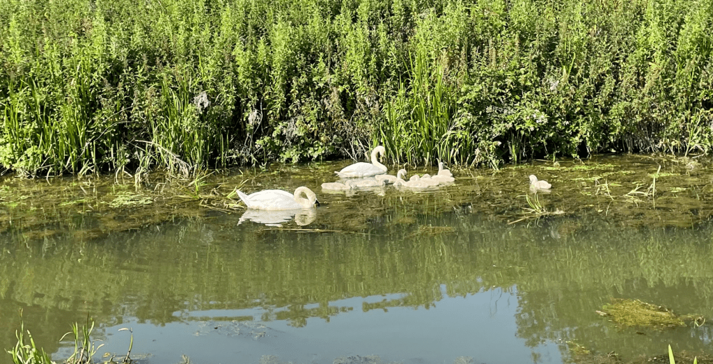
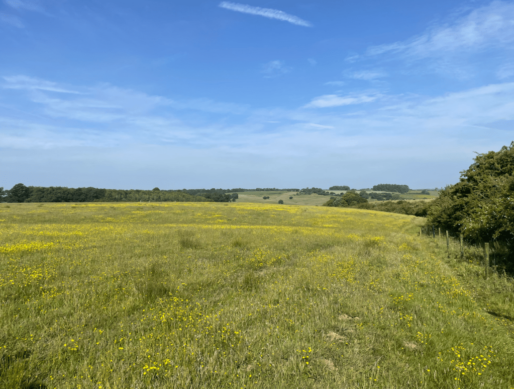
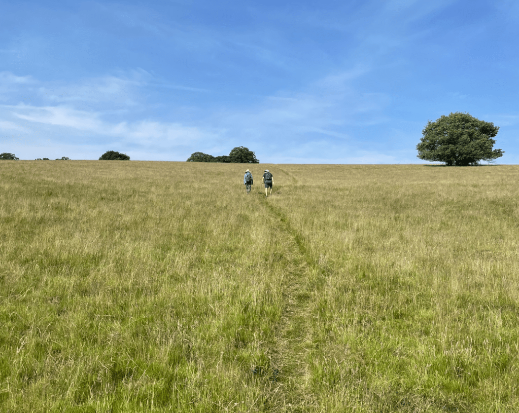
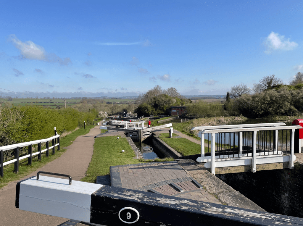
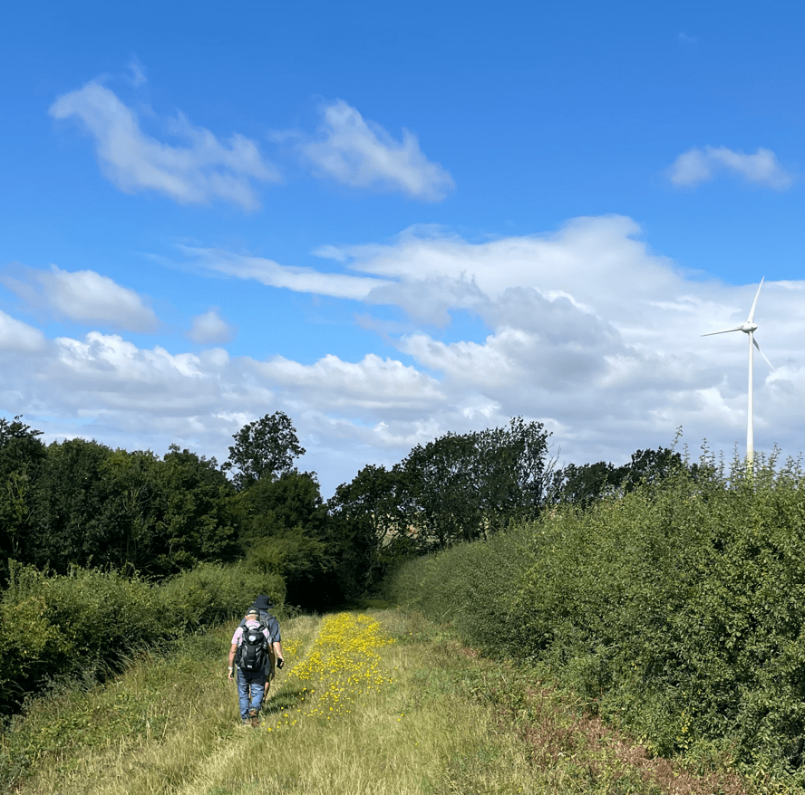
A short walk through the woods brought us to open farmland where we walked beside the river Witham for a while before crossing a large field.
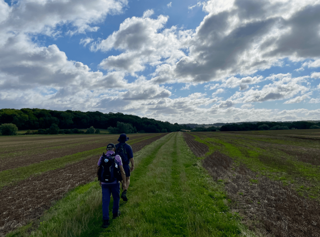
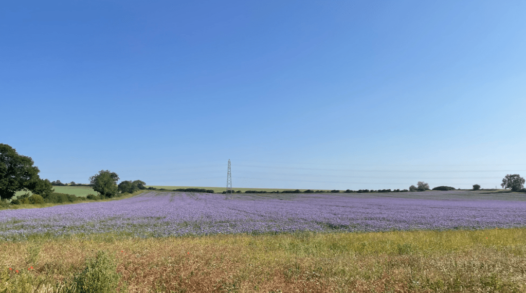
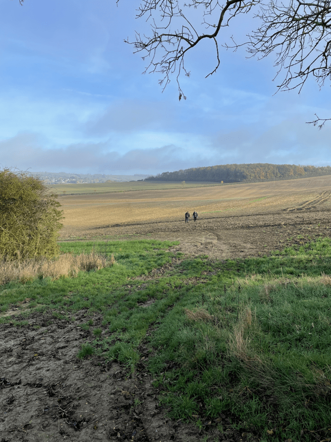
This was a nice open, big sky space and there was a good feeling in this area-a positive energy. You get that sense sometimes when out walking – conversely, you sometimes feel the opposite in other places.
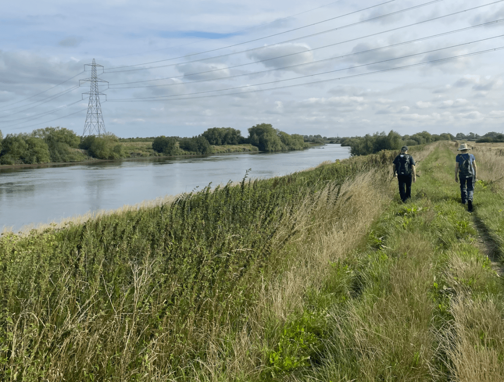
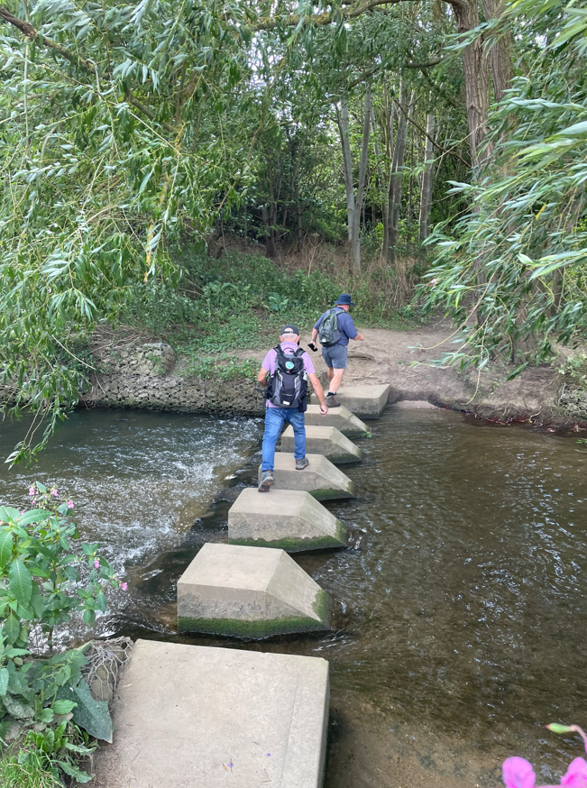
We reached some stepping stones across the river Witham where two of the Amigos raced across.
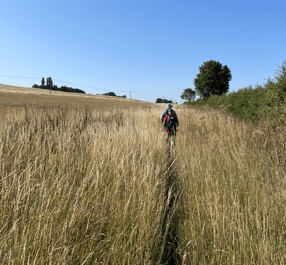
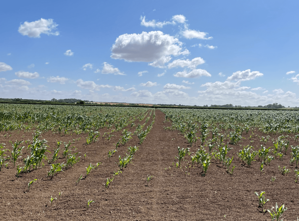
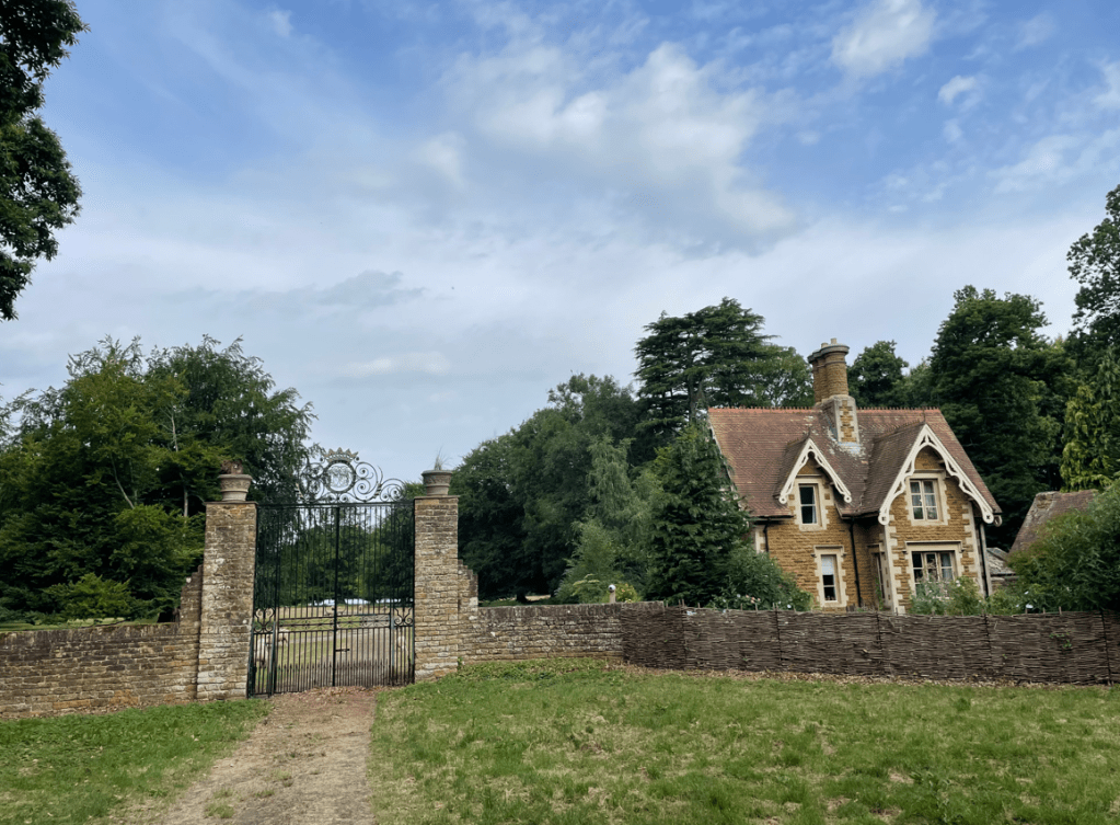
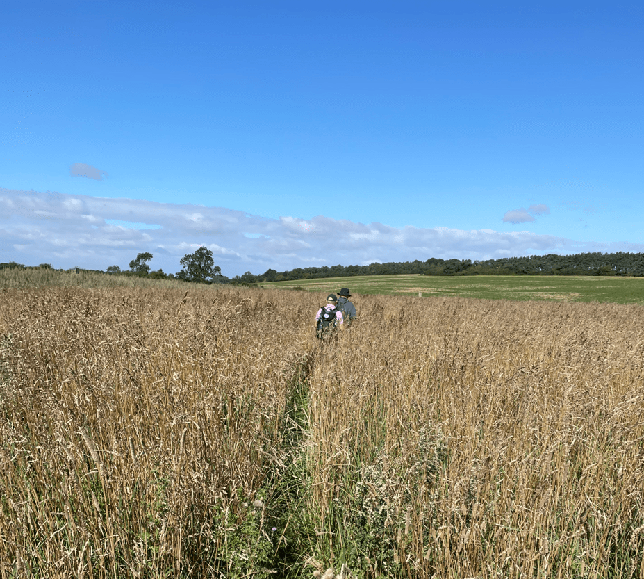
Shortly, we reached the village of Barkston, which didn’t take long to walk through, and we then entered a field where the path across was barely discernible.
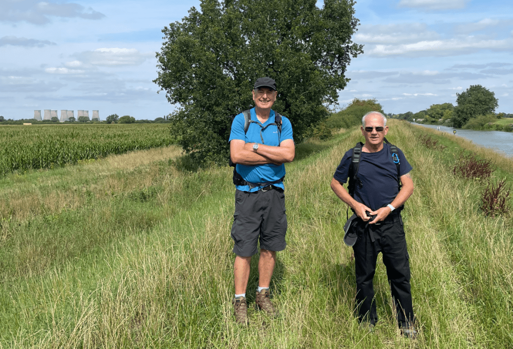
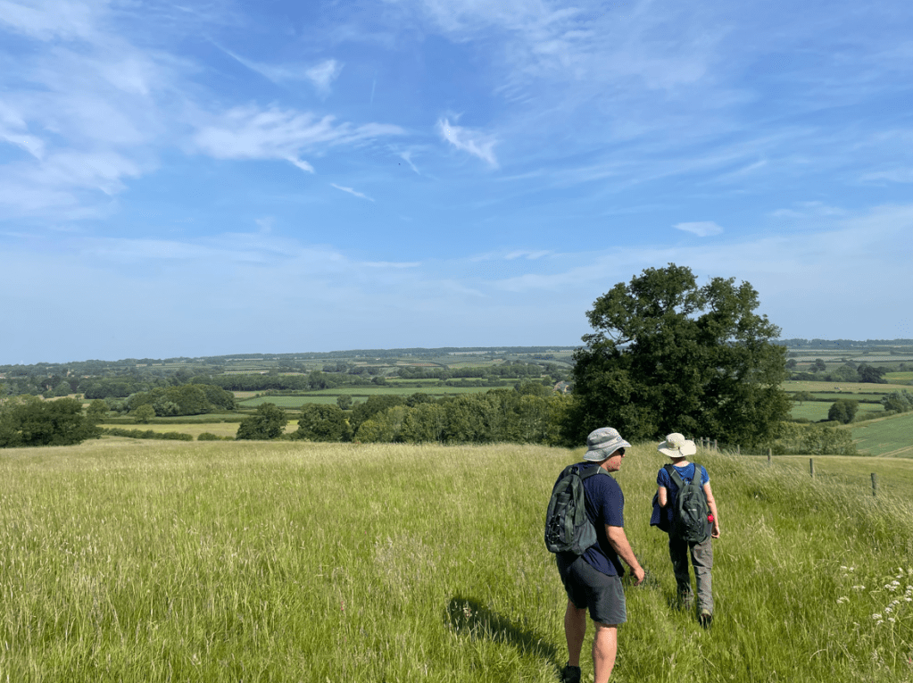
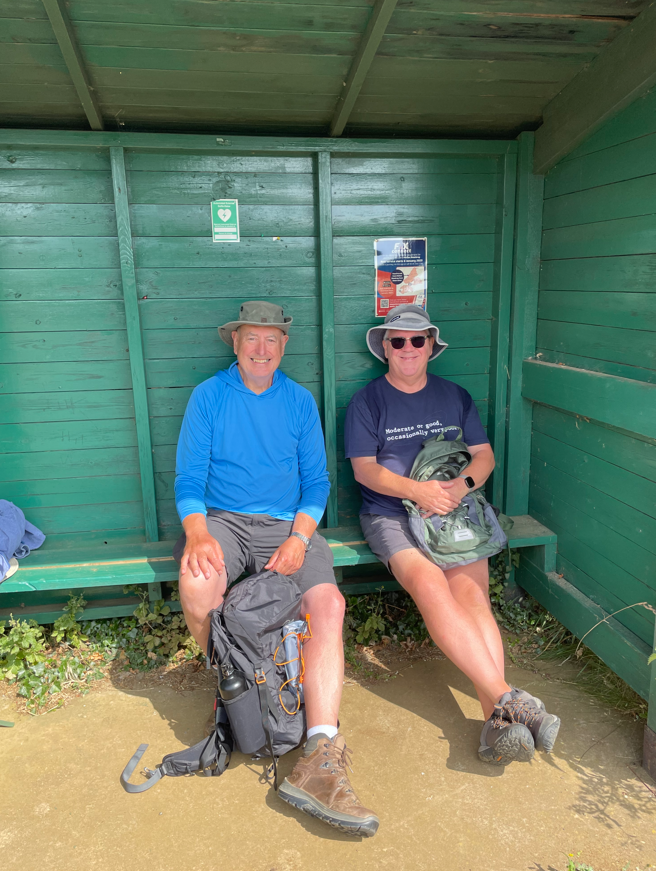
After crossing a railway line, we headed uphill to a place where there was some shelter from the wind -here we took a break. I enjoyed one of my Tescos finest soft- centre scotch eggs 😊.
We were being watched by some very curious calves. I think we were the highlight of their day.

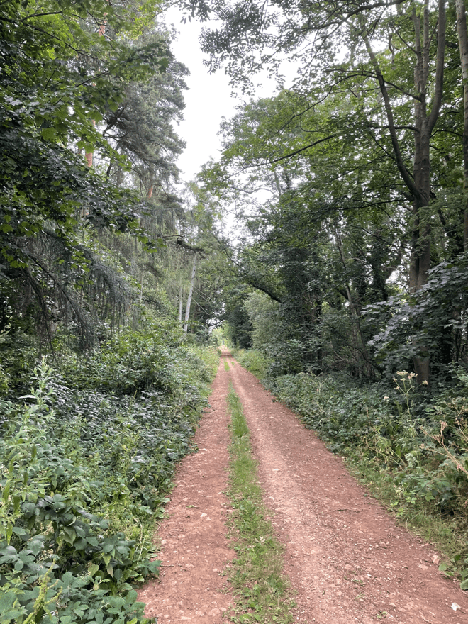
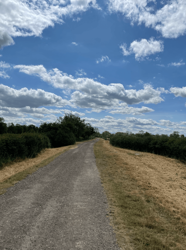
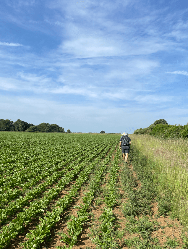
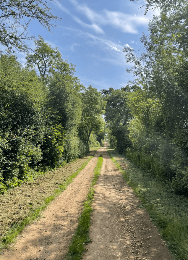
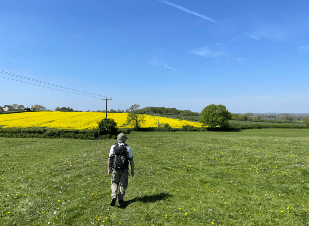
Refreshed after our stop we set off and reached a nice farm track. It was easy walking up a slight incline. The track turned to grass after a while and we were walking gradually downhill.
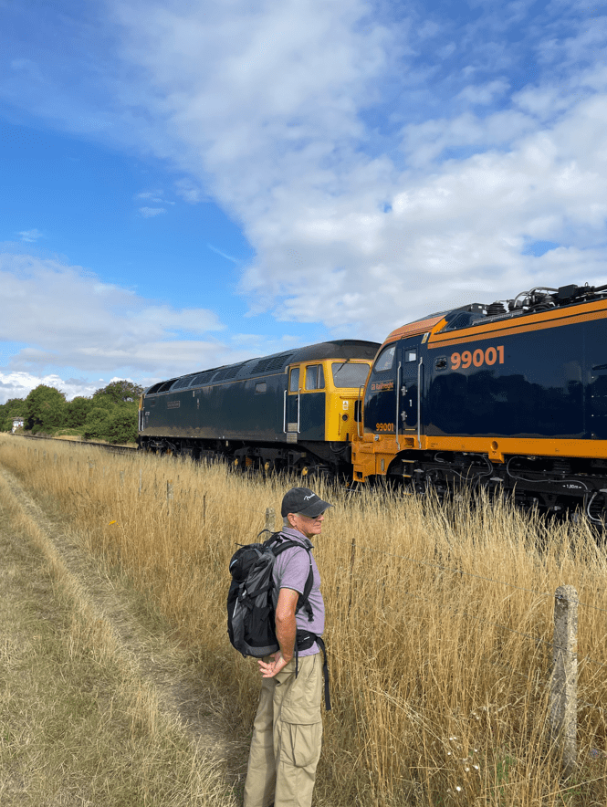
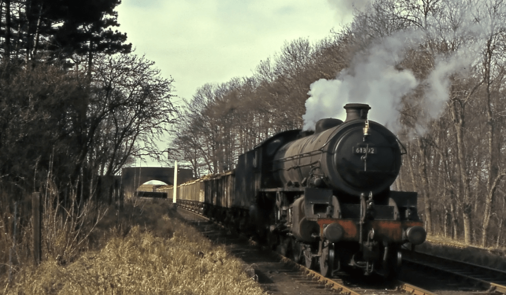
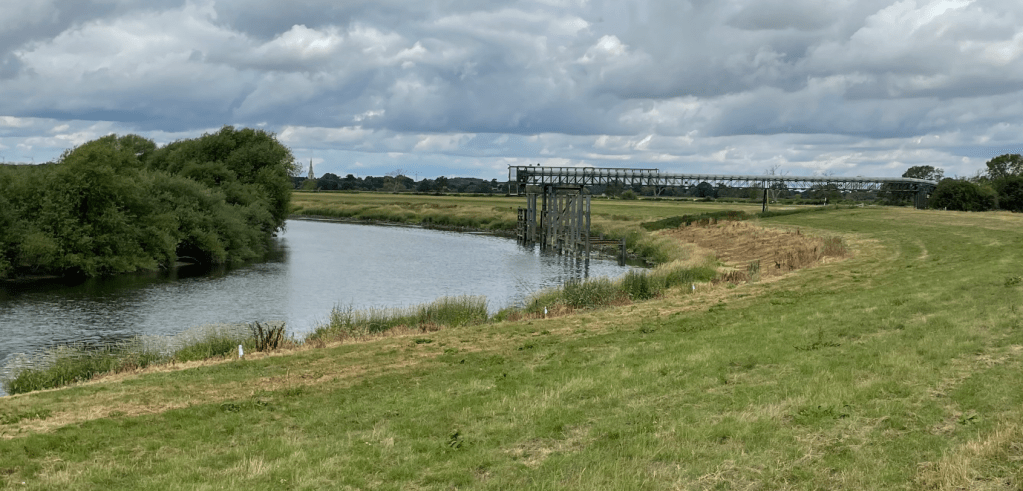
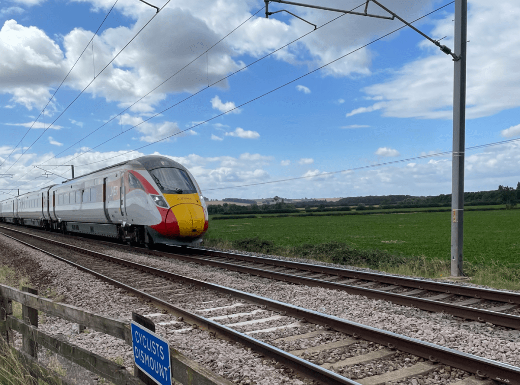
We reached the busy east coast main line and waited for an opportunity to cross the tracks.
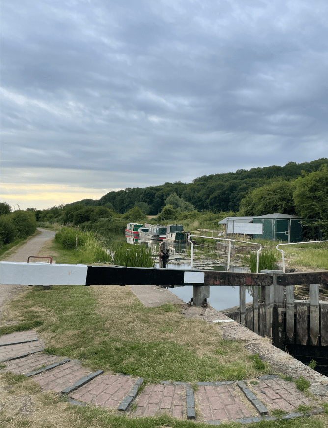
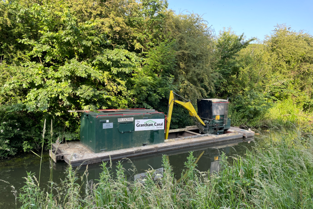
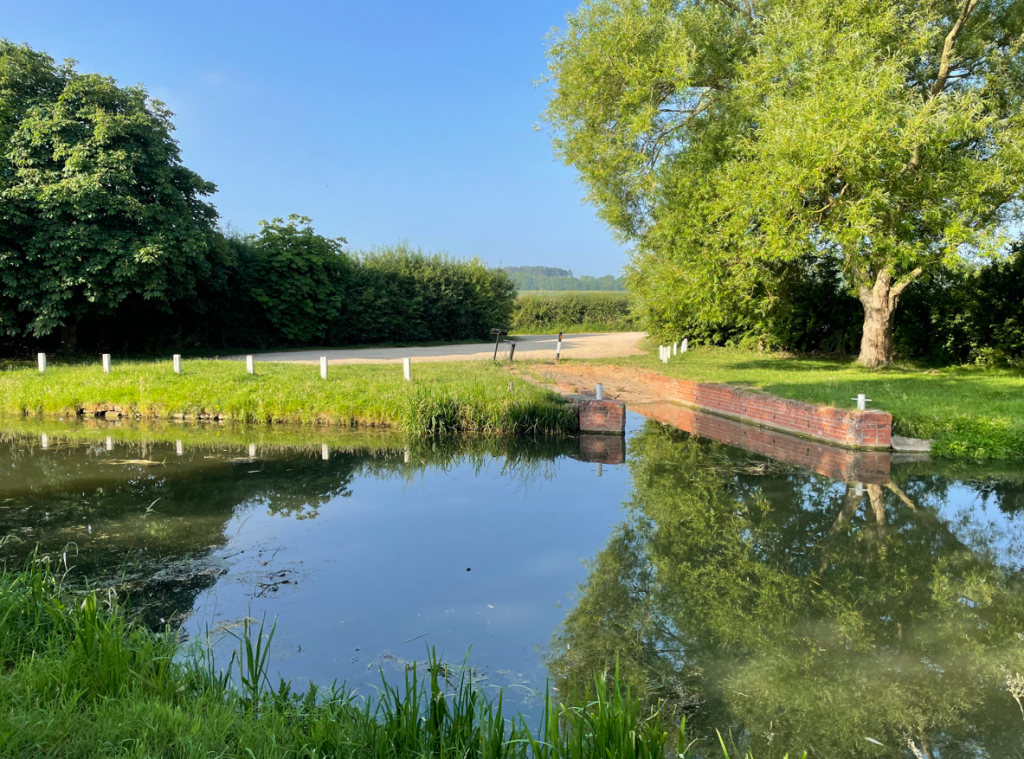
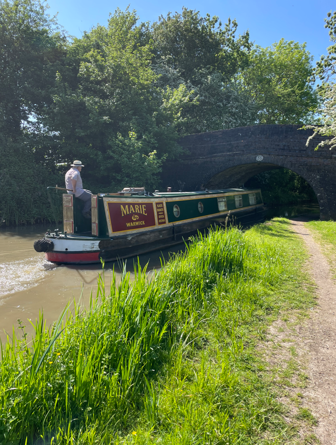
A farm track brought us back into Marston, where we once again crossed the river Witham. Chris informed us that he had seen an otter in the water here a few days earlier and a Kingfisher- sadly, we didn’t see any today.

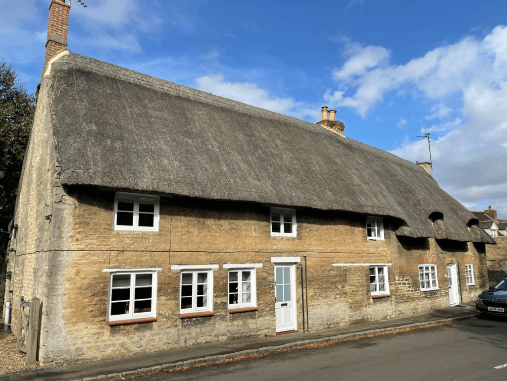
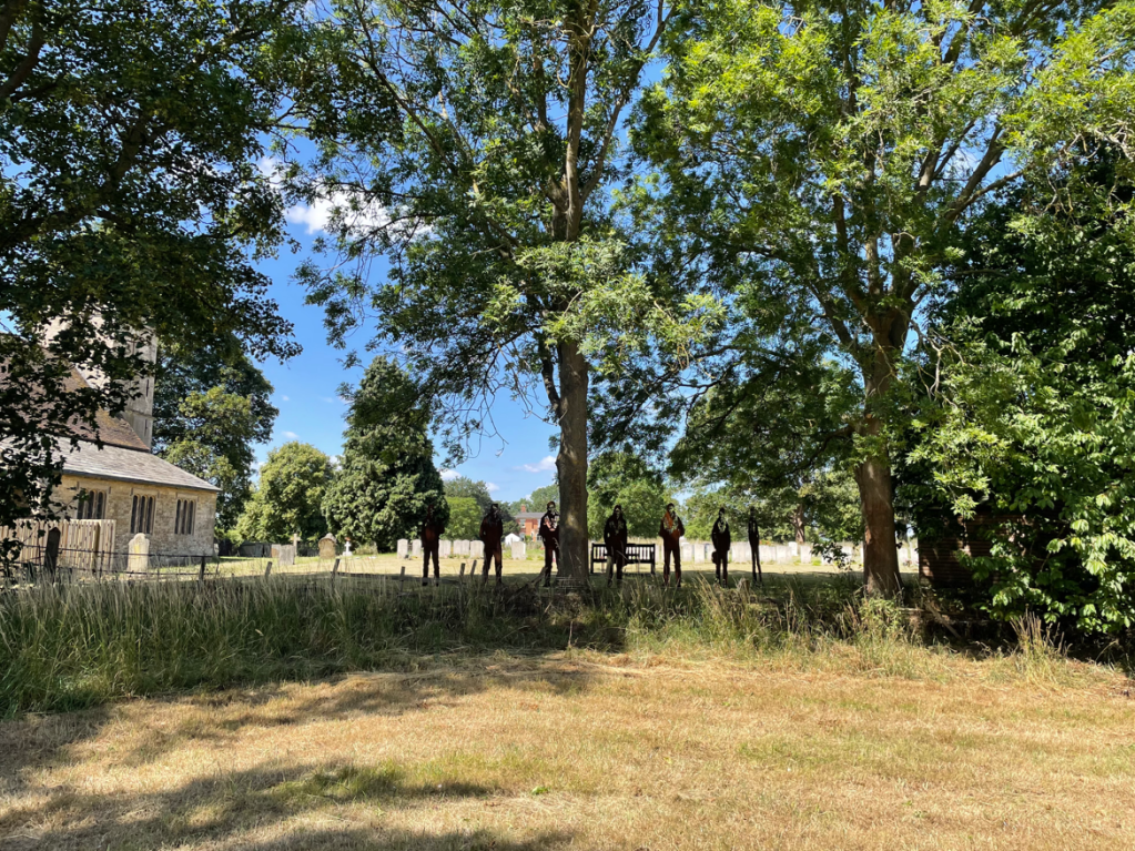
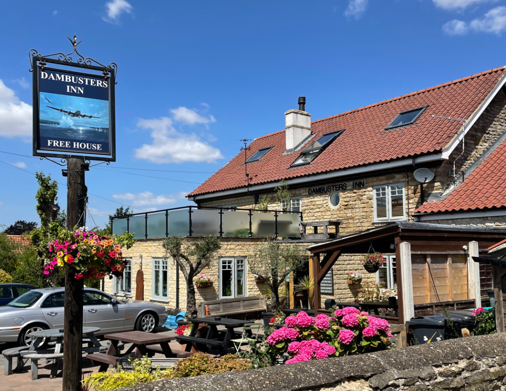
A walk through the village brought us back to the start. We had enjoyed a lovely walk and were looking forward to our next one.
Happy Walking! 😊🚶