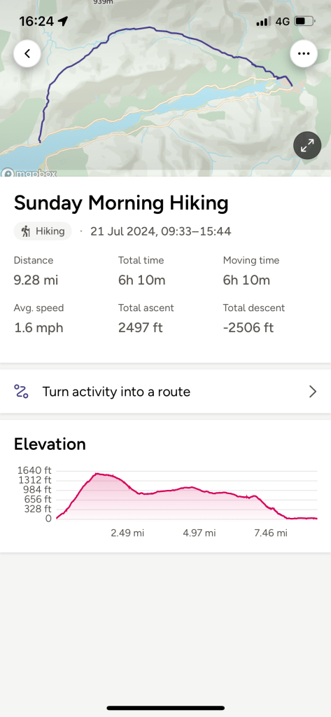
Today finds me in the West Highlands of Scotland, near Glen Coe and on a break with the Walking Company, HF Holidays https://www.hfholidays.co.uk/. I started a walk with a group today but after getting to the top of the first stage of ascent decided to change to another group because I was holding the group back -clearly I am not fit enough for mountain hikes having done very little hill walking this year.
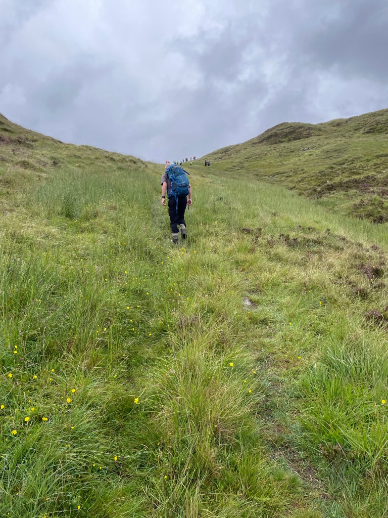
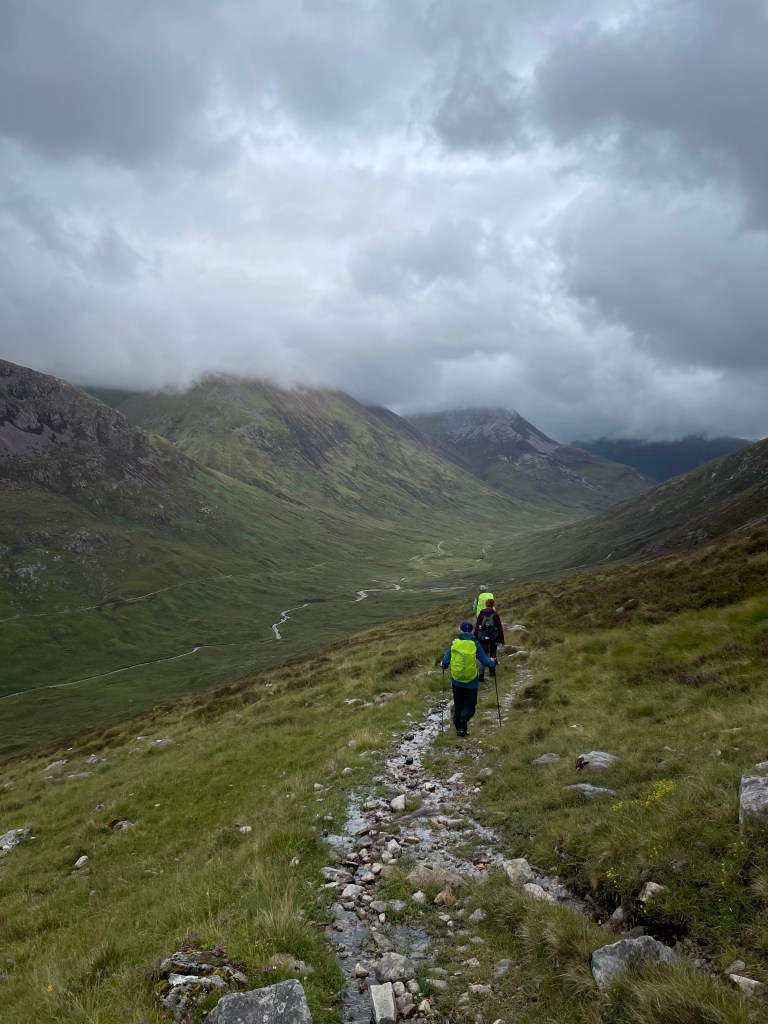
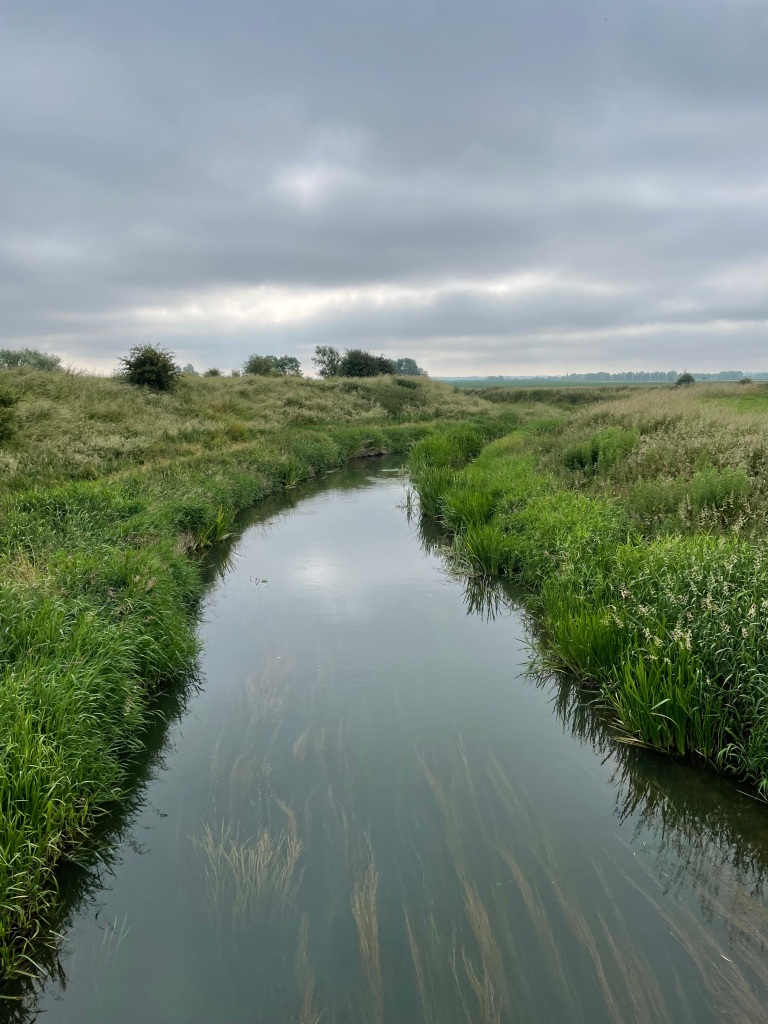
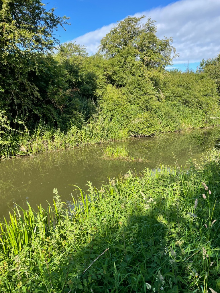
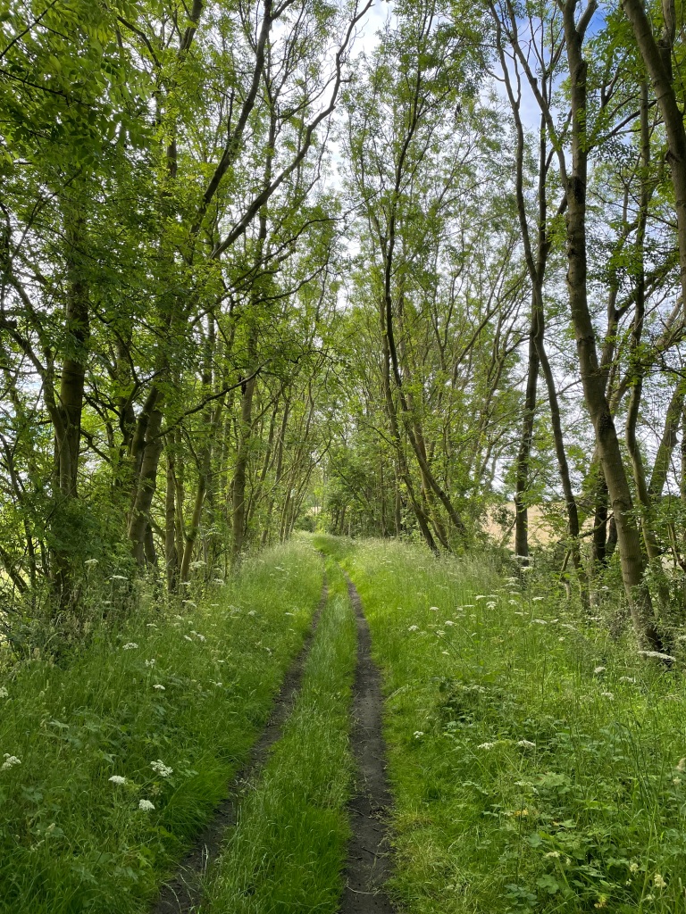
The walk started part way along Loch Leven and ascended steeply up the hill through the very boggy ground. The walk would eventually take us to Kinlochleven along the West Highland Way.
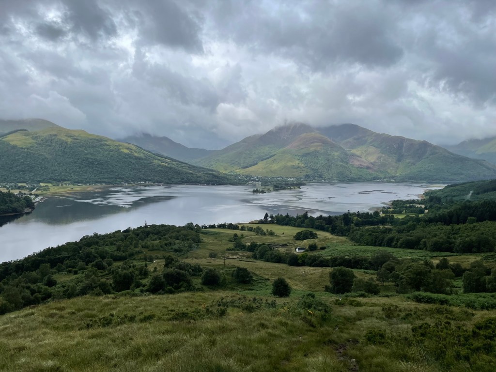
View back to Loch LevenThe steep ascent
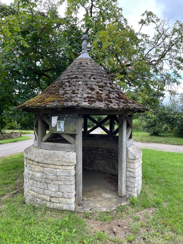
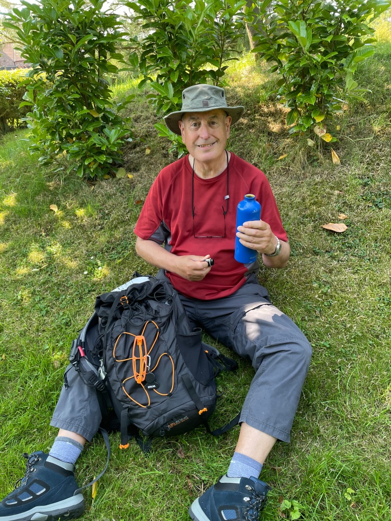
Having decided to change groups I waited for the new group to arrive in a stone shelter, sheltered from the cold wind, eating an early lunch.
In my stone wall shelter awaiting the arrival of the new group
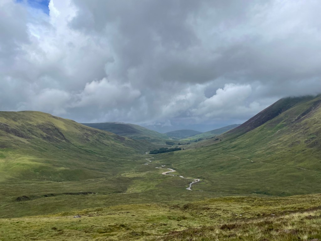
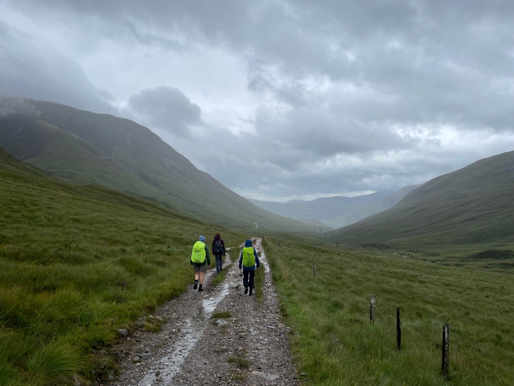
Angela was walking with the new group so it was good to see her again. Our route would take us downhill to the valley bottom where we would have to cross a stream – we got wet feet!
view from my stone wall shelter
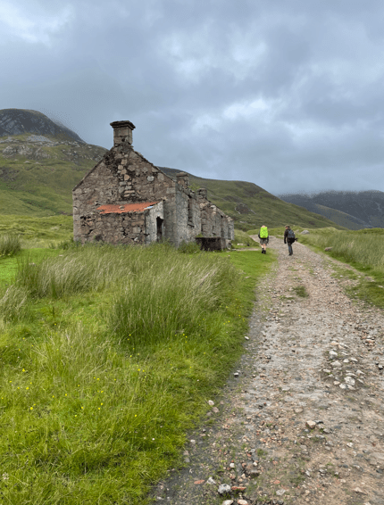
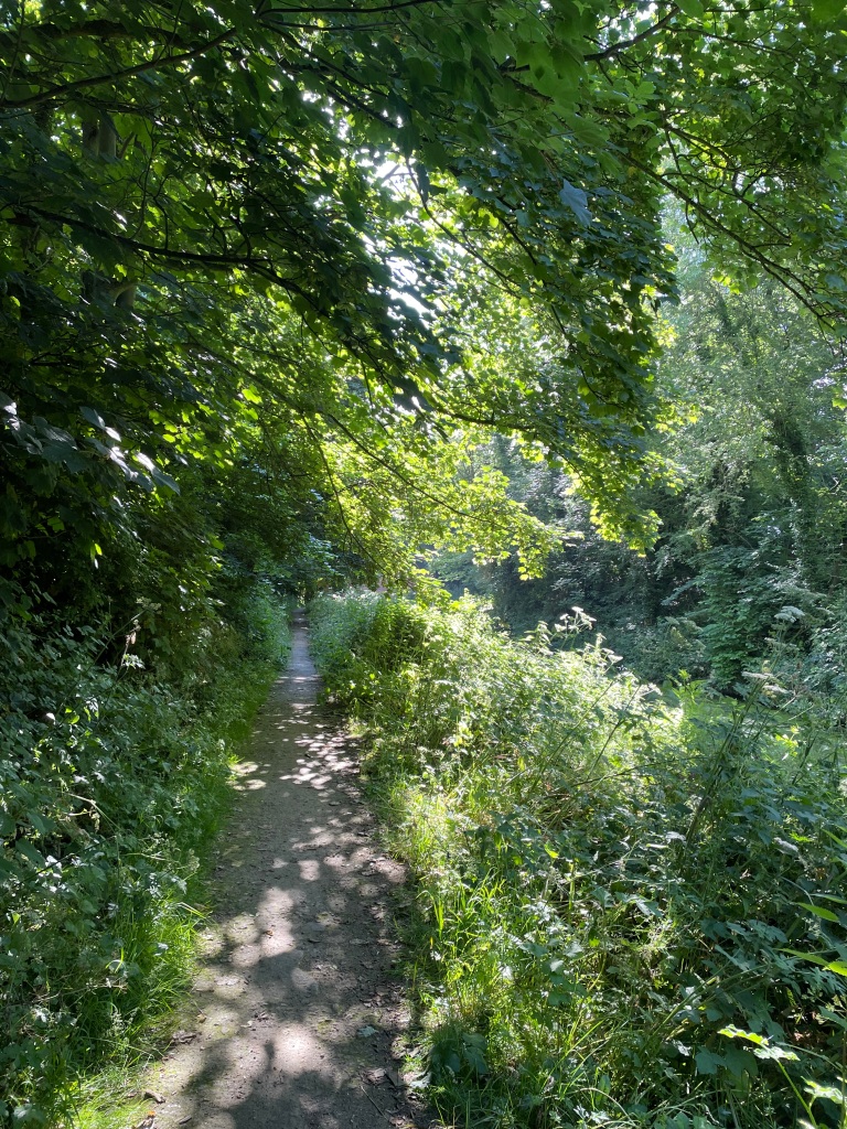
Having crossed the stream we met the West Highland Way and followed that to Kinlochleven.
Descending down the valley to reach the streamWalking on The West Highland WayA derelict house on The West Highland WayView of Loch Leven and the Pap of Glencoe
Soon we were arriving into Kinlochleven where we had a quick pub stop before getting the coach back to our accommodation.
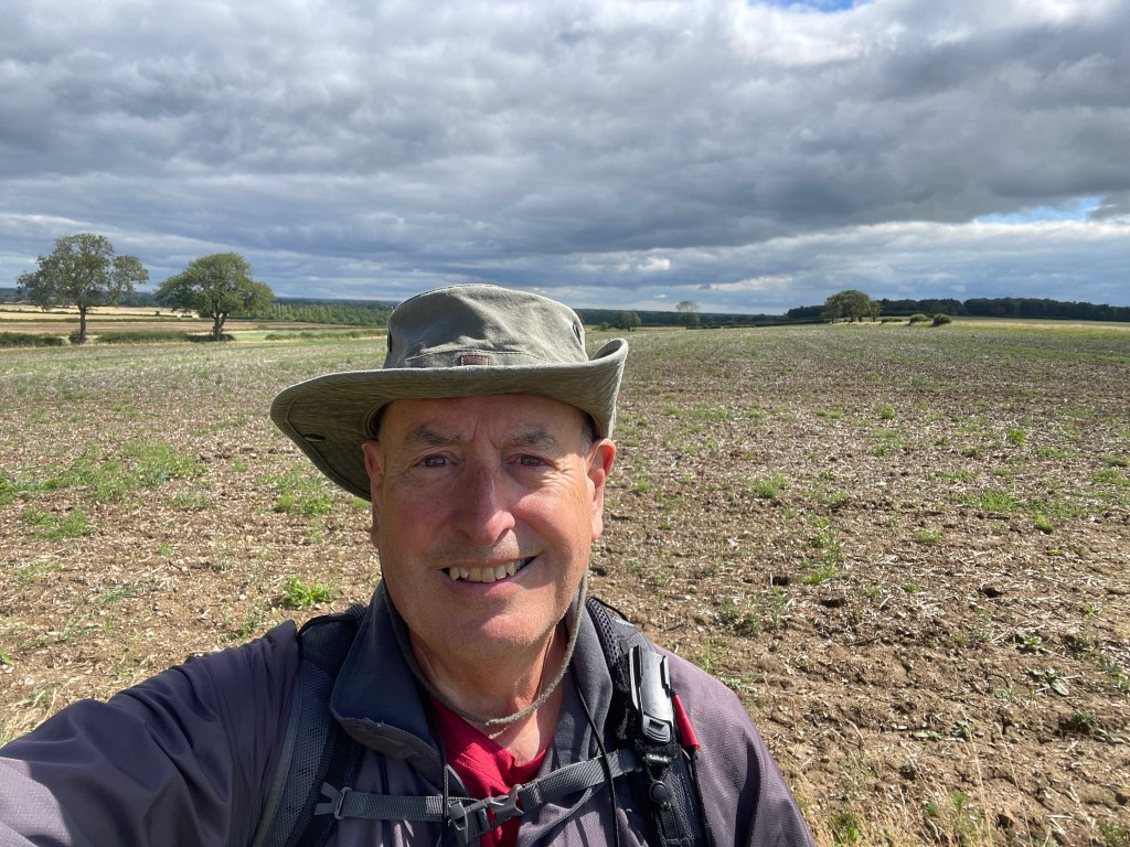
This morning myself and Mick did a 7-mile circular walk from the South Lincolnshire village of Skillington. It was a walk that we had done earlier in the year and Mick fancied doing it again. The other Amigo, Chris, couldn’t make this walk due to an incident involving Covid – yes, its still about!!
Yesterday was very wet so we were expecting wet conditions underfoot and we weren’t disappointed. This morning there was no rain forecast so we were grateful for that – it’s a very disappointing Summer so far, but we live in hope for a better August/September.
After finding parking in Skillington (it was busy this morning) a car I didn’t recognise pulled up behind me and as I got out of my car Mick shouted up ‘Good Morning!’ and surprised me with his very nice new car 😊.
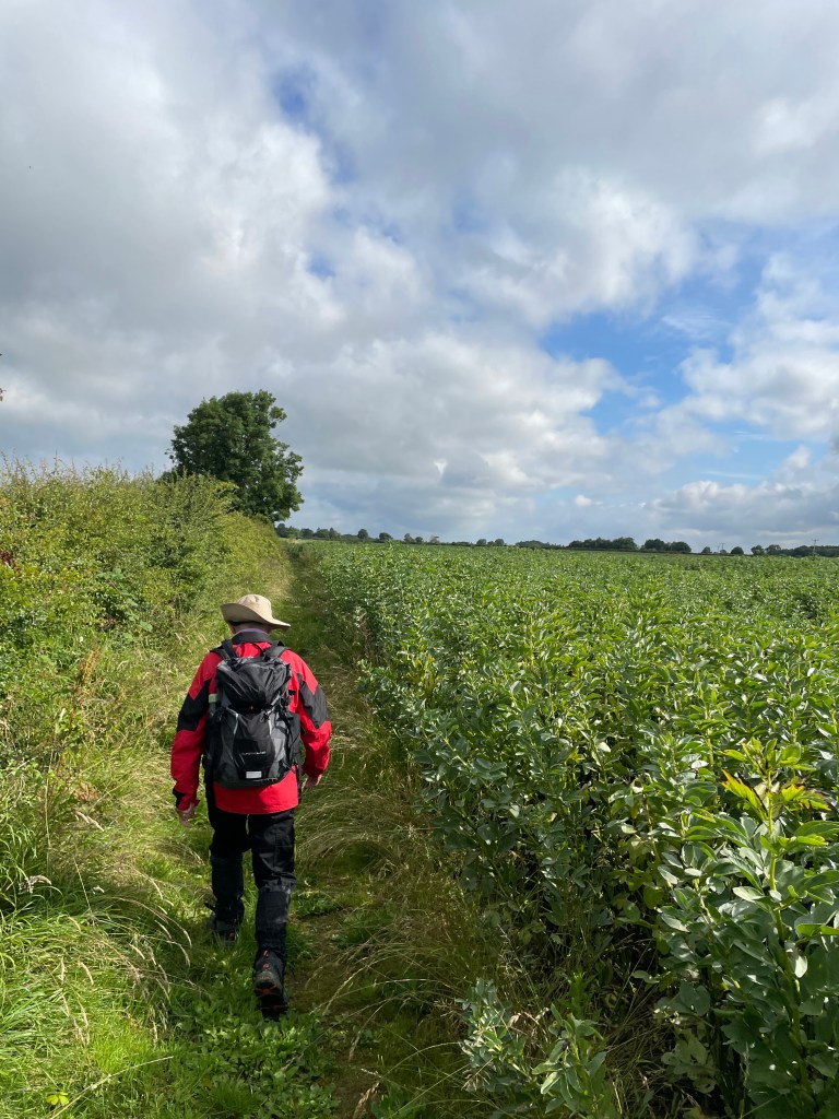
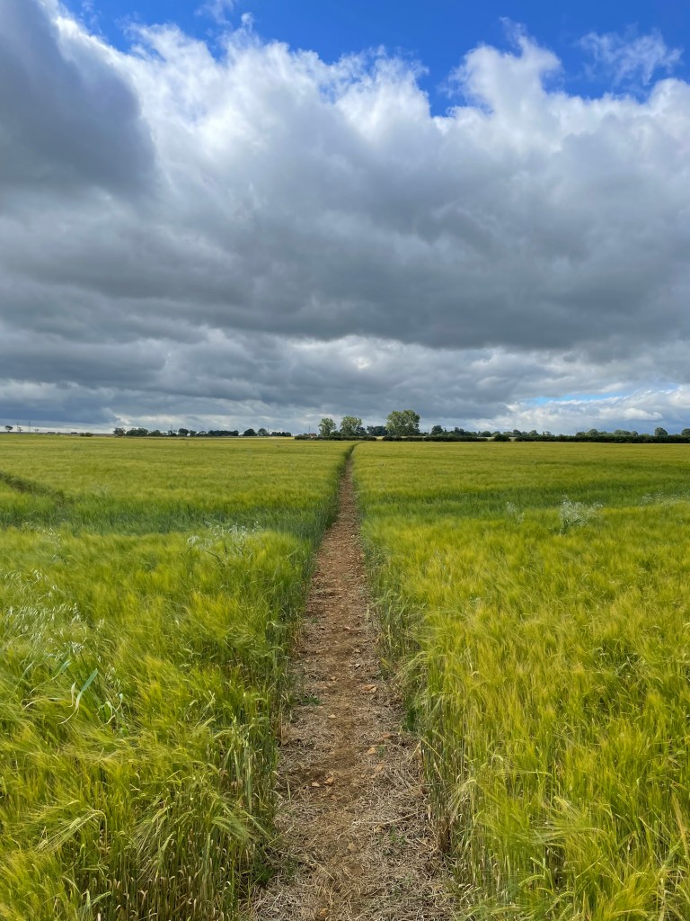
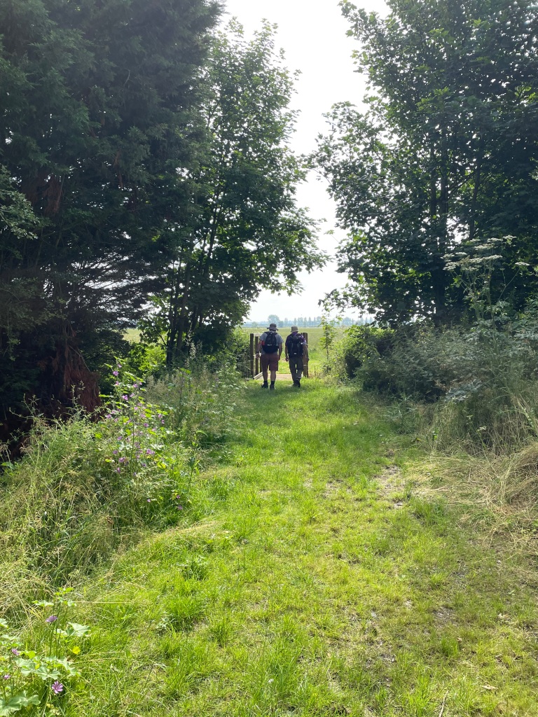
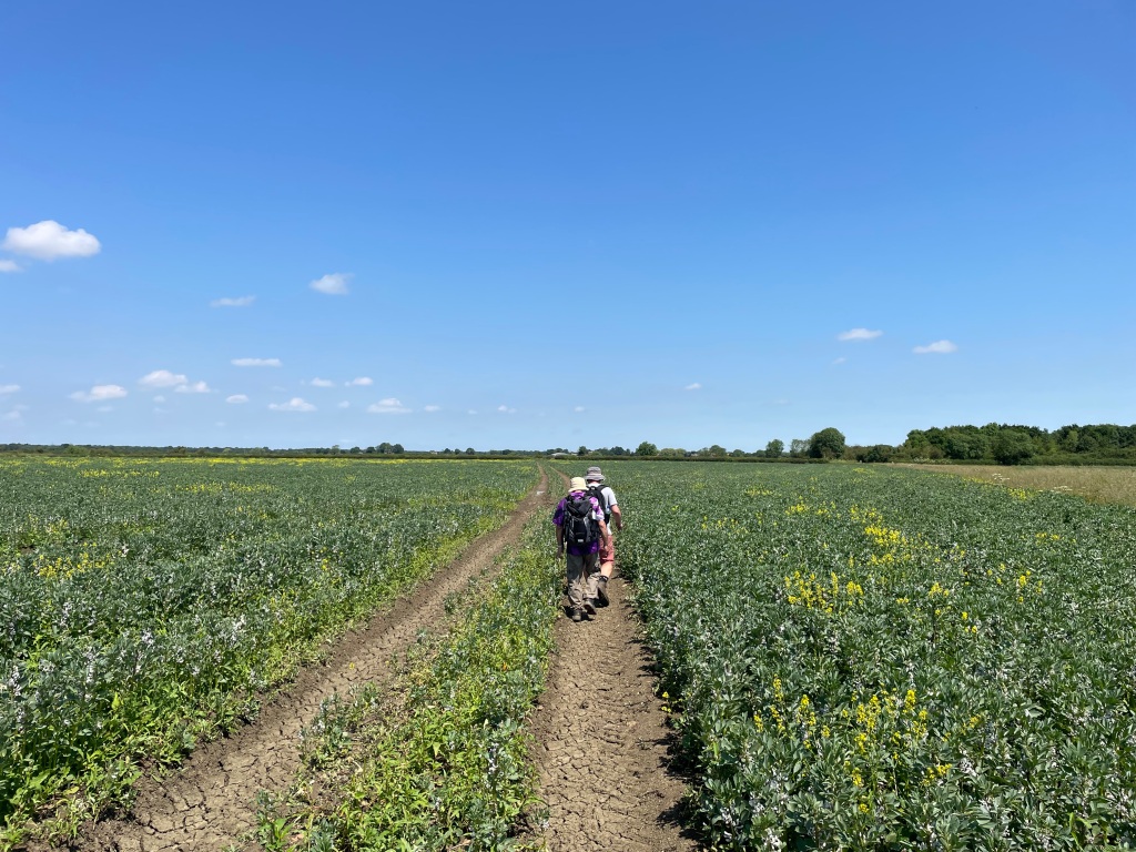
Walking through the village we found our intended path and we set off along it- the path ran at the side of fields of beans.
Leaving Skillington
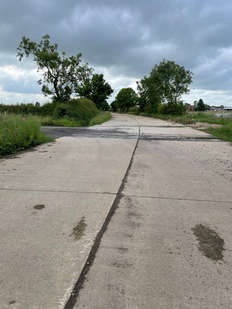
After crossing a number of fields we crossed a wide concrete road that followed the path of a dismantled railway line – Melton Mowbray line?
Nice concrete on the old railway line
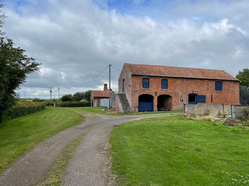
Crossing the concrete road we walked along a good track past a nice looking barn at Mere Barn farm and headed towards Saltby Airfield.
Mere Barn Farm
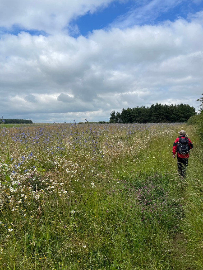
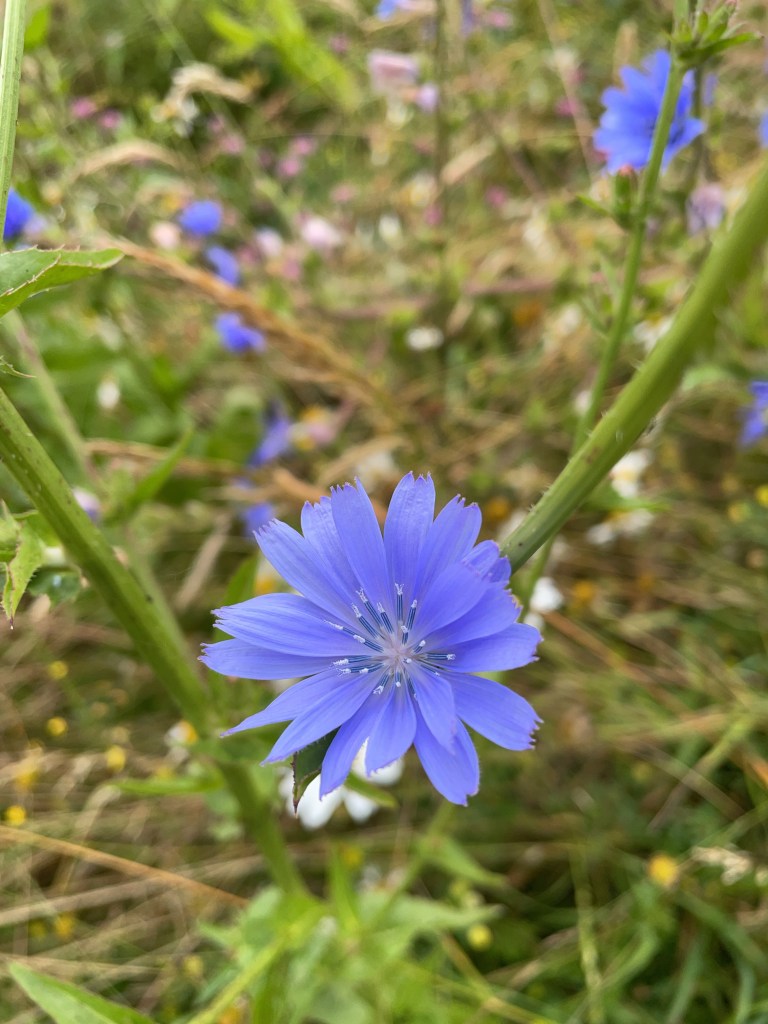
Our route took us into a field containing wildflowers including some colourful blue flowers – reference to my ‘Seek’ App indicated that the flower was Chicory.
Wildflower rich grassland
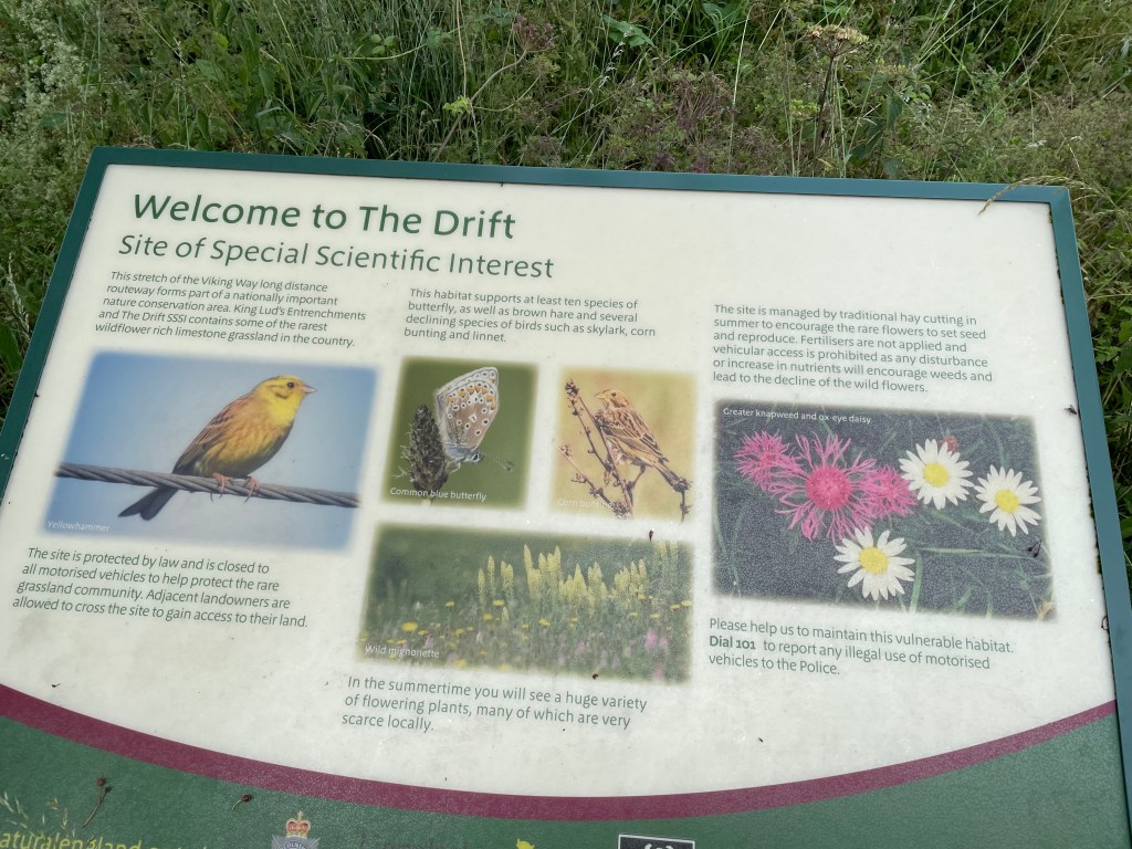
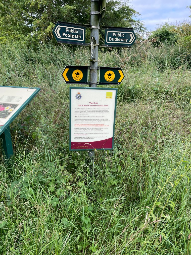
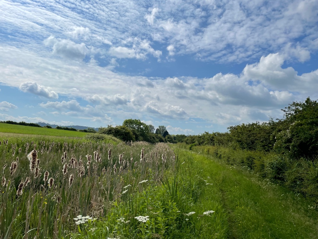
We continued along to a spot for a short refreshment stop on a track called The Drift’ which is on ‘The Viking way’ and is also a Site of Special Scientific Interest containing some of the rarest wildflower rich limestone grassland in the country.
On The Viking Way
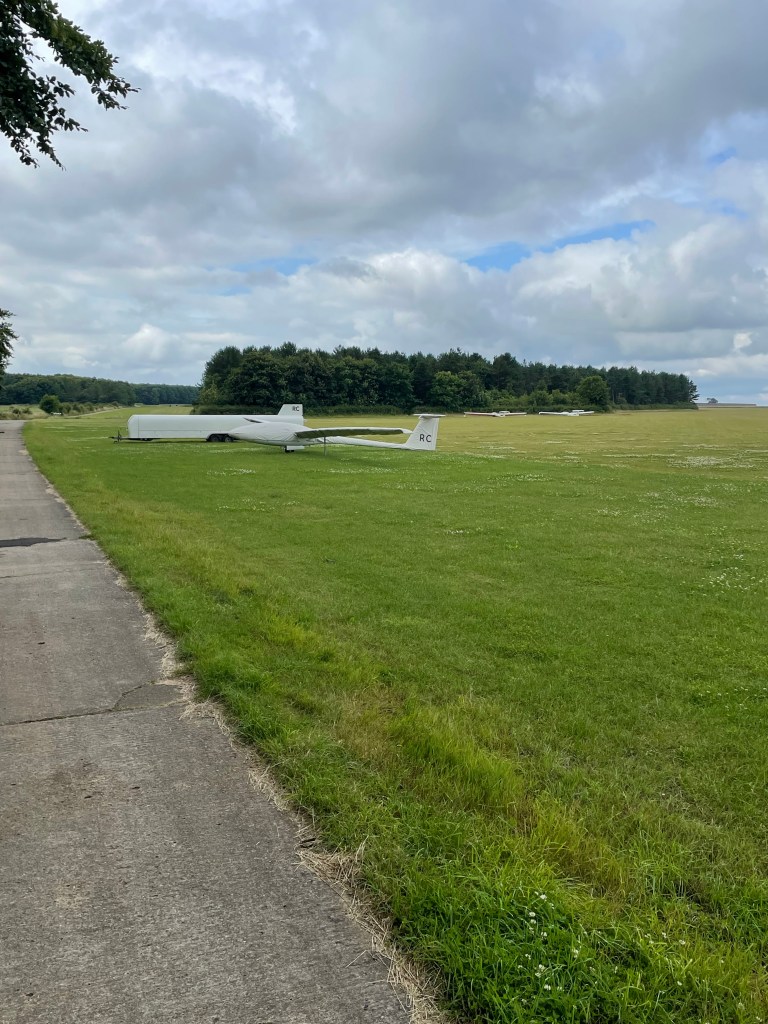
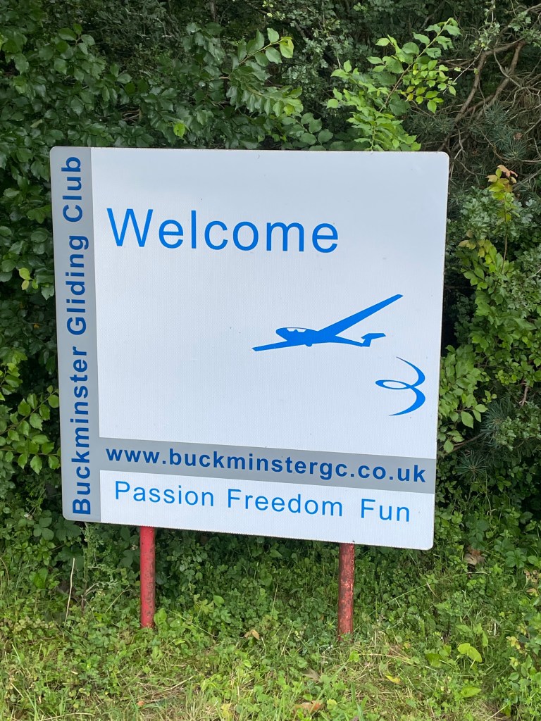
I had enjoyed eating my scotch egg and we resumed our journey to Saltby Airfield – site of Buckminster Gliding Club. We walked past the end of the runway.
Runway at Saltby AirfieldGliders
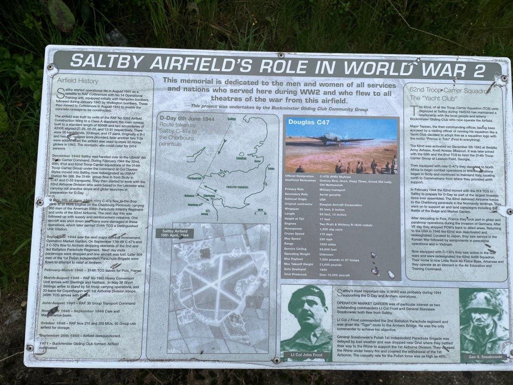
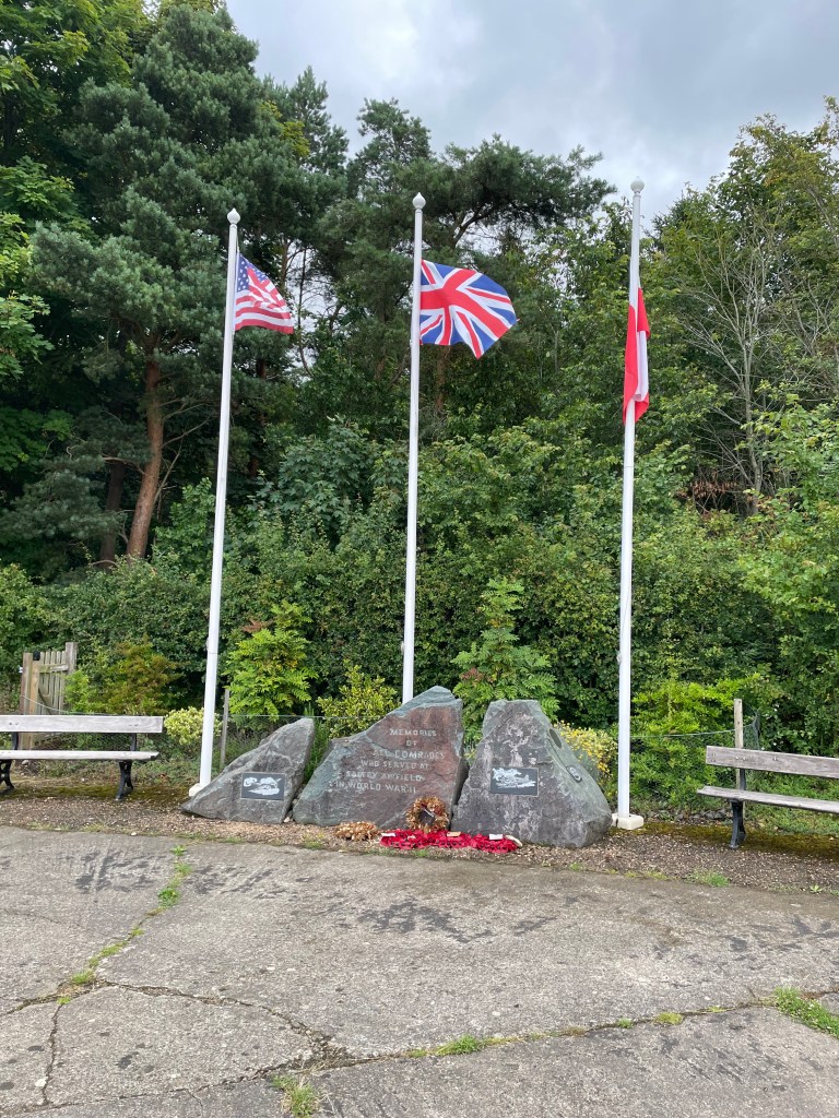
During the Second World War the RAF handed the airfield to USAAF 9th Troop Carrier Command who were involved in preparation work for the D-day landings and then subsequent active service.
Memorial to those who served at Saltby
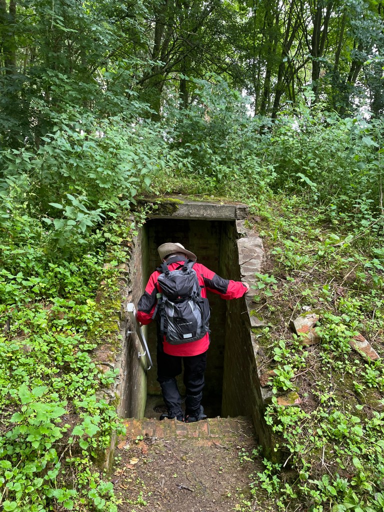
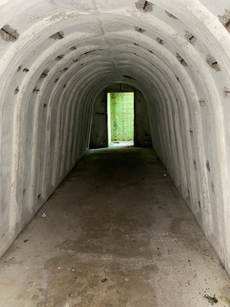
Mick spotted a sign for an air-raid shelter so we followed the path and found it. Carefully descending the stairs the mobile phone torch came in handy – inside it was dry and in good condition.
Mick entering the Air-raid shelterInside the Air-raid shelter
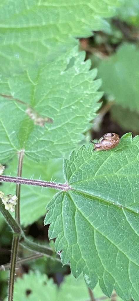
Coming away from the Air-raid shelter Mick spotted a cute tiny snail sitting on a nettle leaf.
The miniscule Mollusc
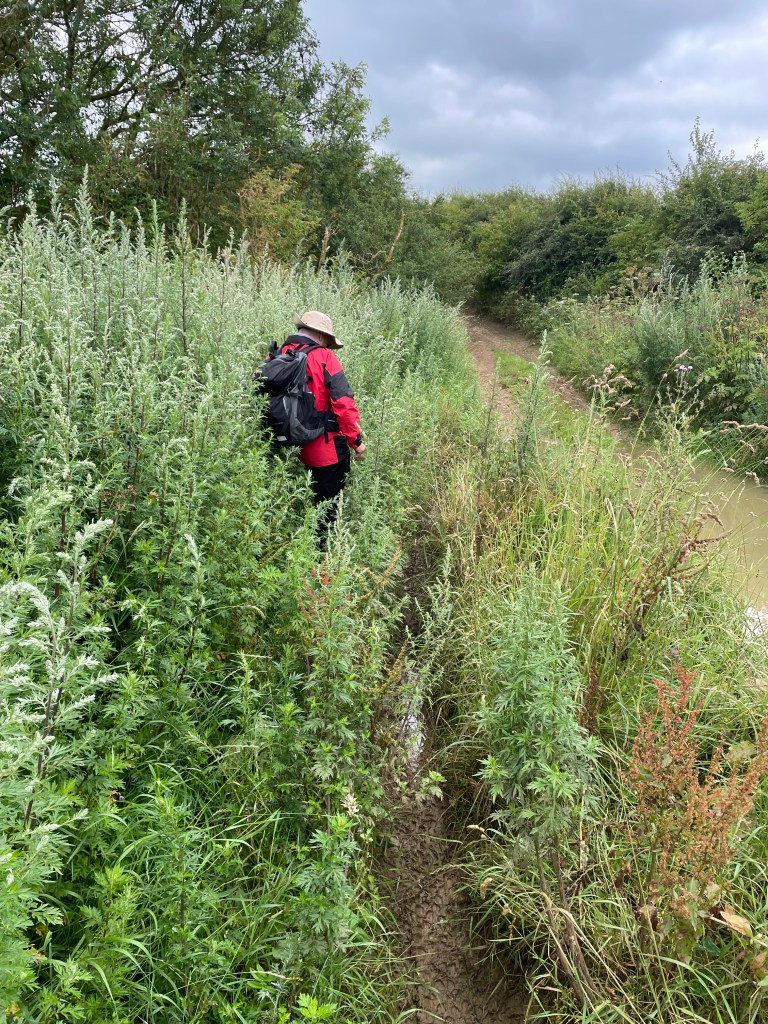
Leaving Saltby Airfield we followed the very rutted Drift track for about 1.5 miles. It was very wet in places and both of us nearly came a cropper slipping on the muddy embankments. Both of us had wet feet by the end of the walk.
Walking on muddy embankments to avoid the floodsTypical flood on The Drift
We had to remind ourselves that it was the middle of July and not April.
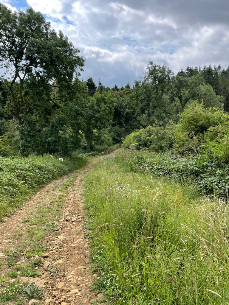
A drier section of The Drift
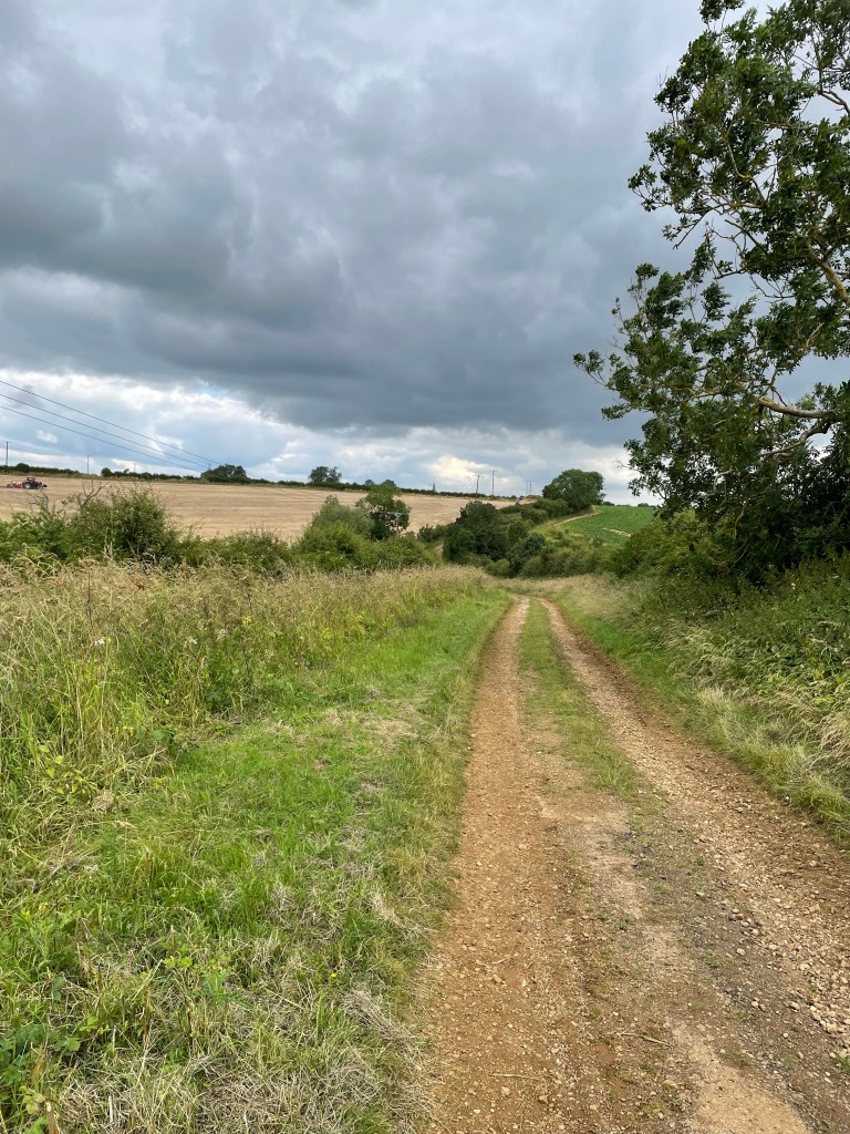
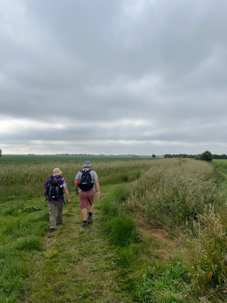
We were glad to leave The Drift and headed across pasture land to pick up Buckminister Lane which brought us nicely back into Skillington.
Buckminister Lane on the way back to Skillington
It was quite a tricky walk in places, with having to watch where you put your feet continually along The Drift, but enjoyable all the same, and nice to see the countryside and animals along the way (Hares and Muntjac deer)
My eyes opened at 05:40 this morning and I thought to myself ‘ I will get up in a minute’ and then Hypnos (Greek God of sleep) must have said – not yet! – because it was 07:00 when I next opened my eyes 😊.
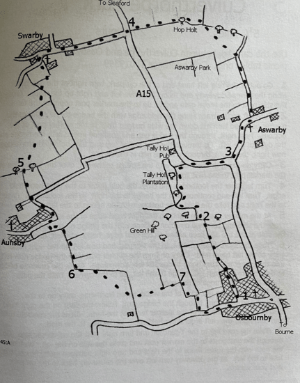
I had planned a walk for this morning so I got a shift on and headed to Osbournby, Lincolnshire. The walk was recommended to me and found in a book by Clive Brown, who has written many such excellent books.
The 7-mile route would take me from Osbournby to Aswarby, Swarby and Aunsby before returning to Osbournby. I wondered why a lot of the villages in this area ended in ‘by’ – turns out, we have to thank Viking settlers who first settled the land, its the basic Norse word for a farmstead or small village.
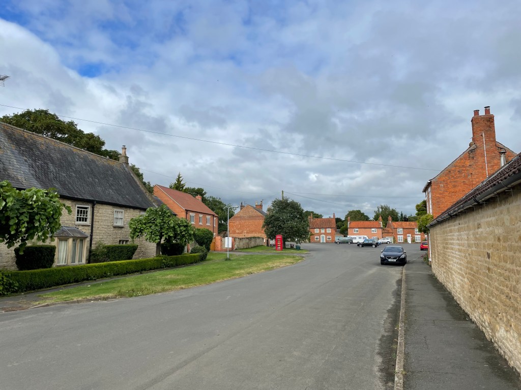
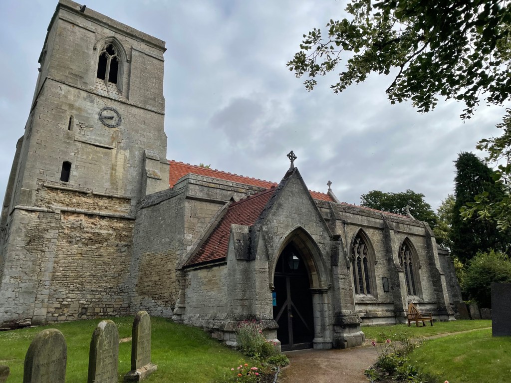
I parked by the church in Osbournby where there was plenty of parking.
Osbournby VillageSt Peter and St Paul church in Osbournby
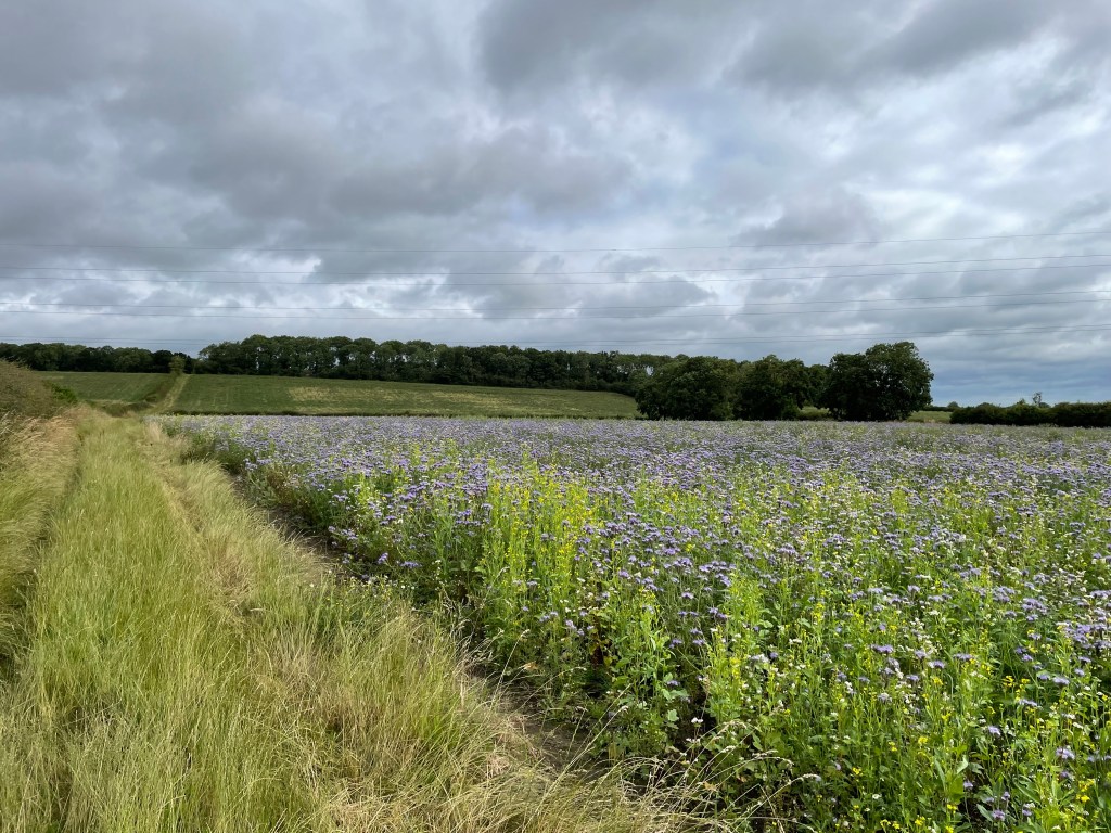
Finding my way out of the village I followed a path uphill passing fields of what looked like wild flowers .The purple crop was striking.
Heading out of Osbournby
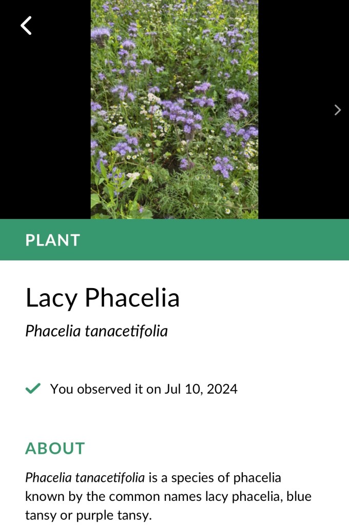
I used my ‘Seek’ App which told me it was Lacy Phacelia.
Screenshot
The path was wet from the recent rain and, because the grass was long, my boots/trousers were soon pretty wet. It took me past woods to reach the A15.
Heading towards the A15
A short stretch along the A15 led to the turning for Aswarby and a nice tree lined lane leading to the church which was unusual in having many windows.
The lane into AswarbySt Denys church, Aswarby
I took a bridleway past the Aswarby sawmill and then found a path across a large open field.
Heading out of Aswarby
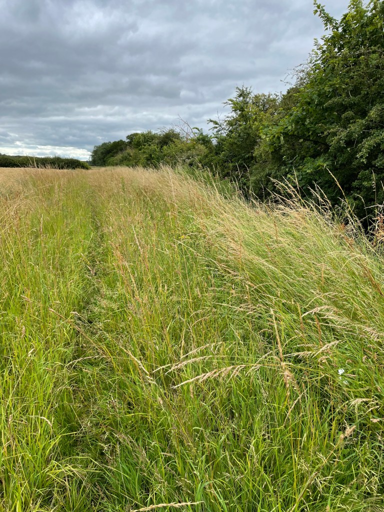
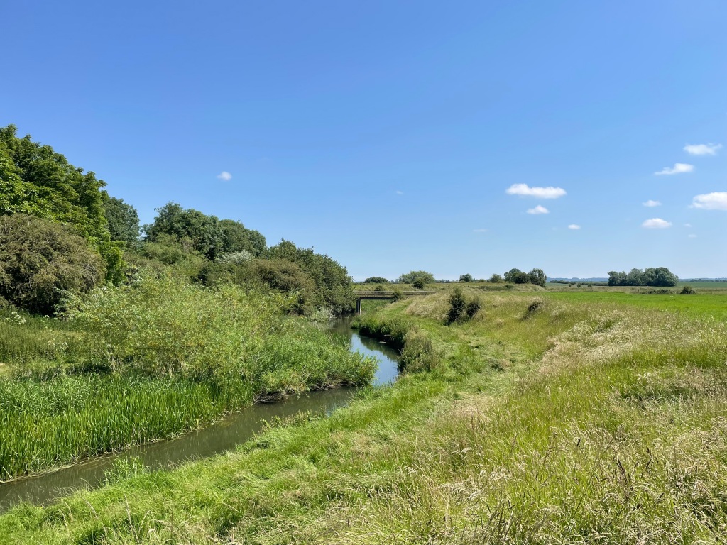
After crossing a dyke I followed the Dyke along an overgrown path to cross the A15 again. Walking along that path there were dozens of small butterflies fluttering hither and tither which was wonderful to see.
Overgrown path by a dyke
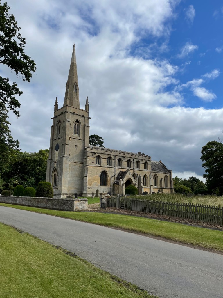
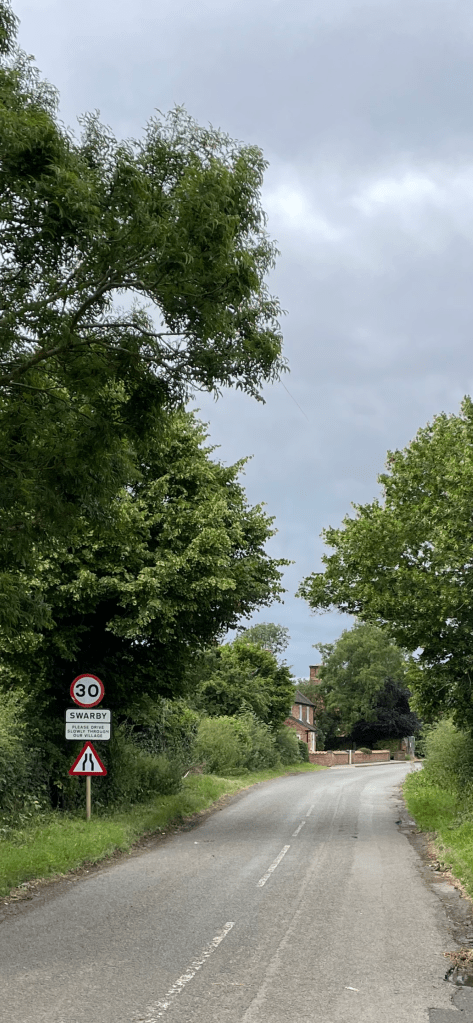
After crossing the A15 I followed a lane into Swarby village, passing the church – St Mary and All Saints. A small building resided on a green by the church- maybe an old well?
Arriving into SwarbySt Mary & All Saints church SwarbyOld Well in Swarby
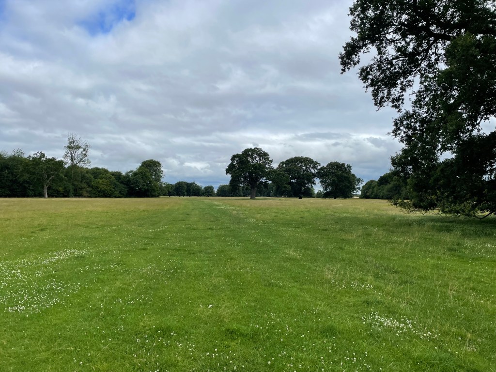
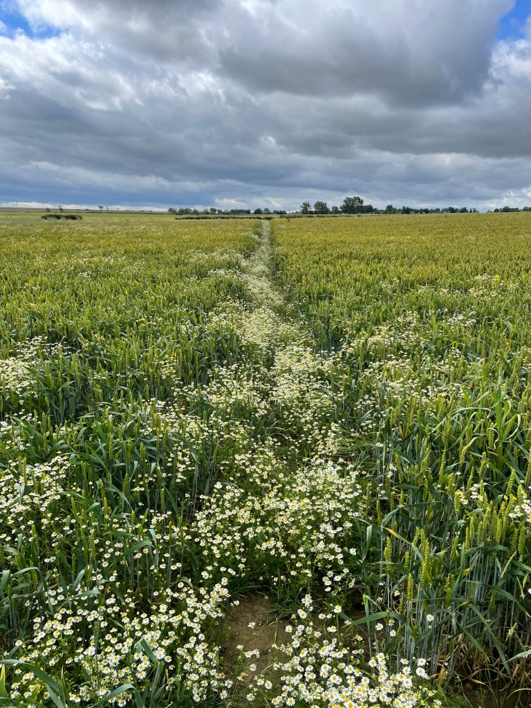
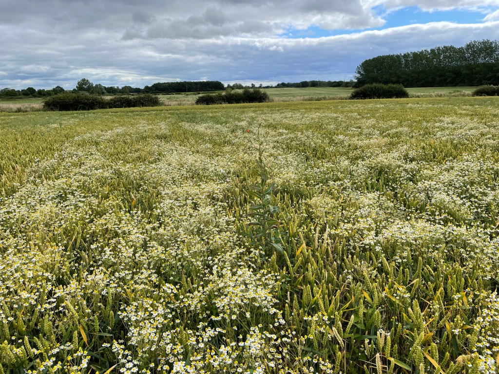
The next part of the walk took me across farmland and I was pleased to see clear paths across the crops. One field containing wheat also contained daisy’s and I though this must be planned ?
Daisy’s mark the path across the fieldMore Daisy’s
I stopped on one of the many wooden bridges crossing ditches to have a scotch egg (my favourite walking snack) and a drink. Refreshed I continued on passing wheat fields where I stopped, mesmerised, watching the wheat wave about in the breeze.
Soon, I arrived at Aunsby and the route took me swiftly away across more fields. At one point I entered some boggy ground and, with no way around, ploughed through and got some wet feet! Not a happy chappy.
Leaving Aunsby
I was now on my last leg of the walk heading back towards Osbournby. I had not met anyone on my walk – not surprising really.
Panoramic views heading for Osbournby
Arriving back in Osbornby I admired the nice houses thinking what a nice village but then I realised I had not seen a pub, so maybe not such a desirable village?
It had been a lovely walk, definitely one to do again sometime.
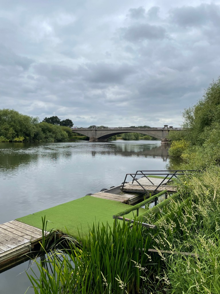
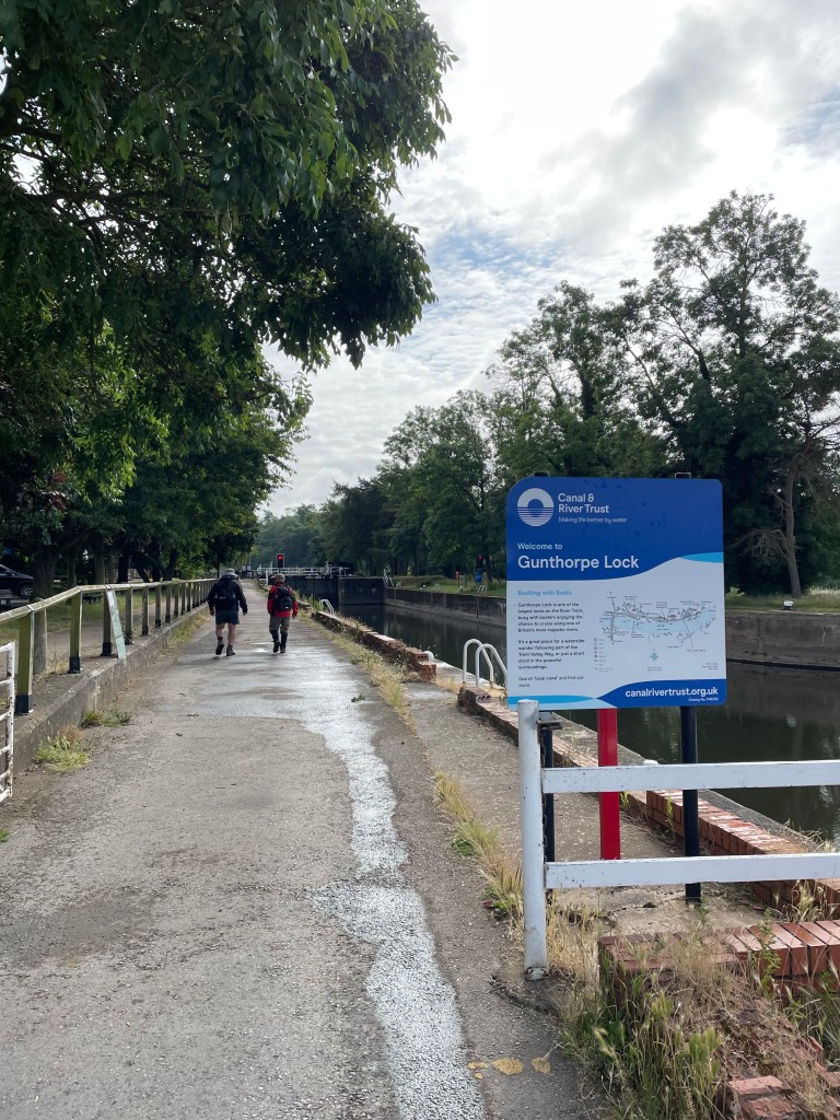
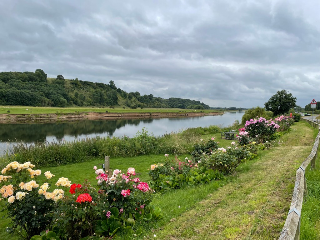
Yesterday I met up with Mick and Chris and we did a 9.5 mile Three Amigo walk in Robin Hood country. We met close to the bridge at Gunthorpe, near Nottingham. Chris was last arrival again, despite a good effort 😊. Better luck next time Chris!
Gunthorpe bridge over the river TrentRobin Hood country
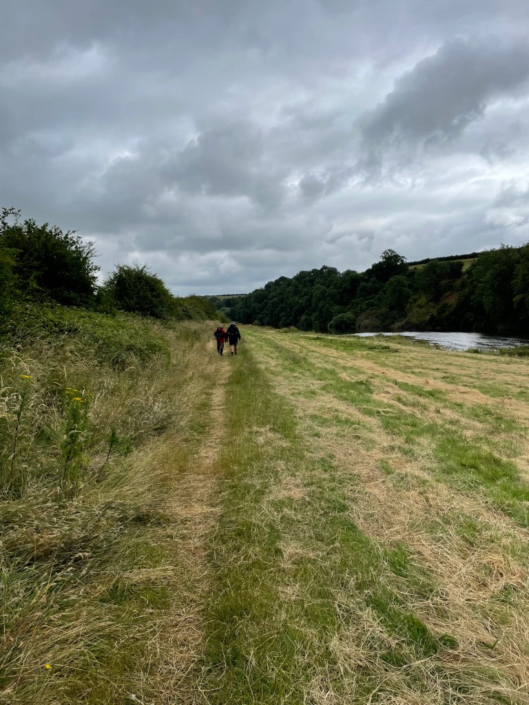
Our circular route would take us along the banks of the river Trent then we headed past the gravel pits near Hoveringham, through the village of Caythorpe and back to Gunthorpe.
I was pleased that I was feeling no ill-effects following my 27.5 mile walk on Saturday. Myself and Mick had done this walk before but it was new for Chris. We had avoided it all year because the rain had flooded the river and the banks for a good part of the year.
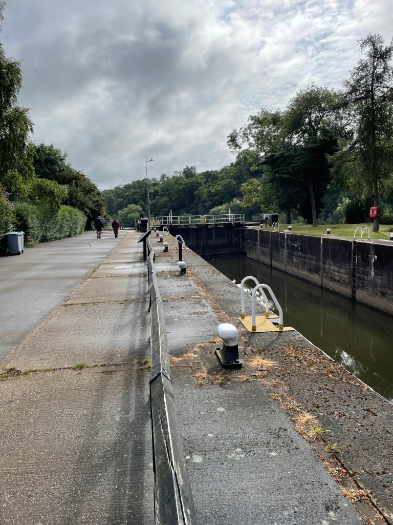
We set off passing the impressive lock at Gunthorpe along The Trent Valley Way.
Gunthorpe Lock
Heading along the grassed bank by the river it was a cloudy morning and we did get the odd spot of rain but it never amounted to much.
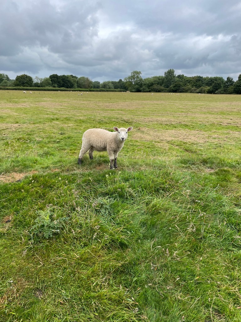
We passed friendly young cows and a cute lamb posed for a photo.
The cute lambHeading along the riverbank
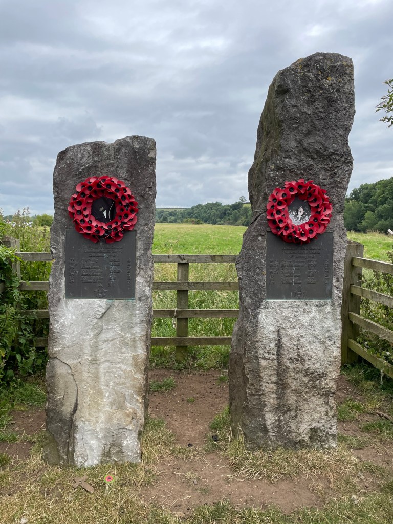
We stopped for a cuppa at memorials for the crew of a couple of crashed Lancaster bombers. RAF Syerston is quite close. They crashed on 12th Jan 1945 and 29th Jan 1945- so close to the end of the war. Chris later did some research and found this information https://asn.flightsafety.org/wikibase/155608
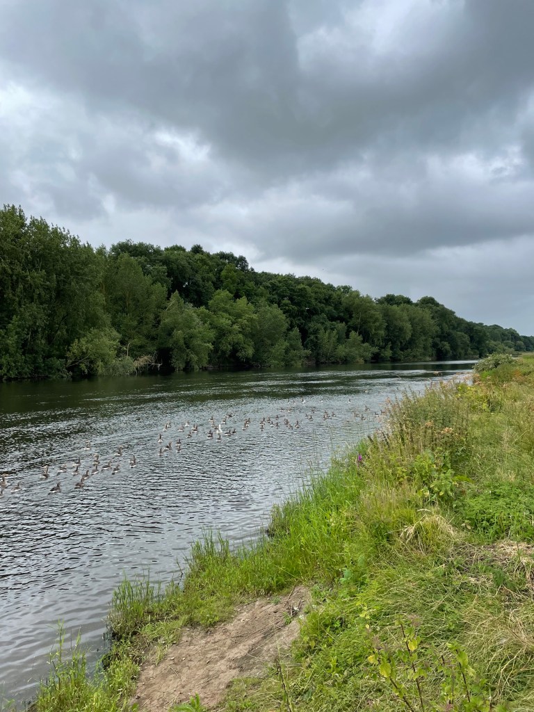
There were plenty of native geese on the river which was nice to see.
Geese on the river
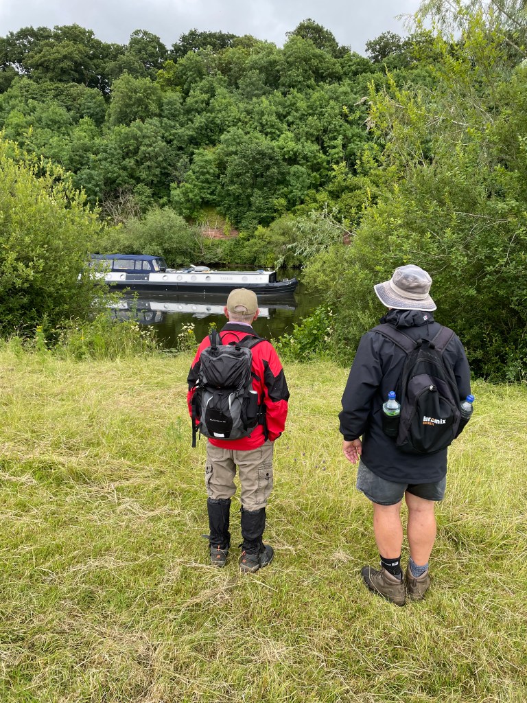
A very quiet barge slipped past us gliding down the river – it must have been powered by battery we thought.
Quite unexpectedly we passed some lovely roses in a garden on the river bank which looked in much better shape than mine!
Another topic of conversation on the day was 70’s comedians ( remember the tv program ‘The wheel tappers and shunters club’? Classic British comedy🤣).
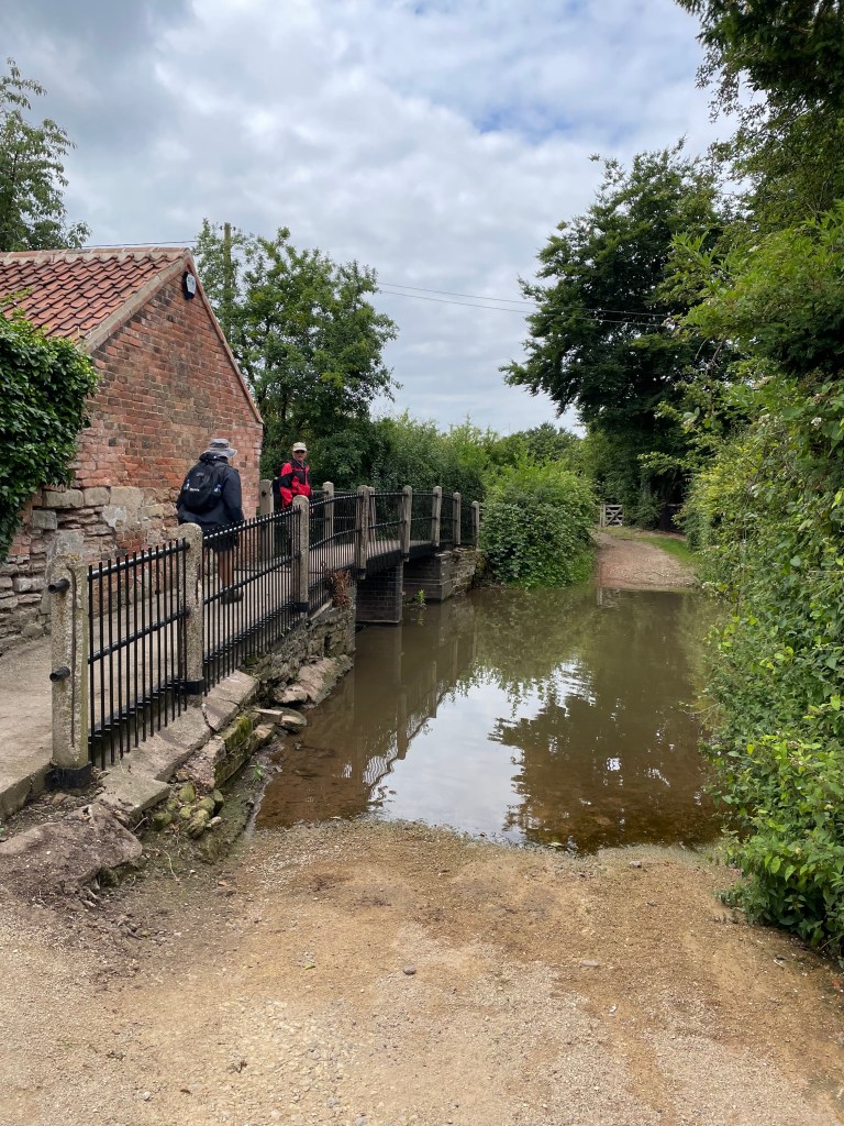
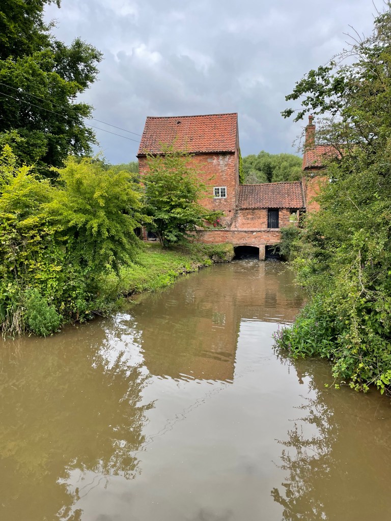
After leaving the river side we passed across fields and arrived at a lovely old mill building by a ford – Hoveringham Mill.
Crossing the fordHoveringham Mill
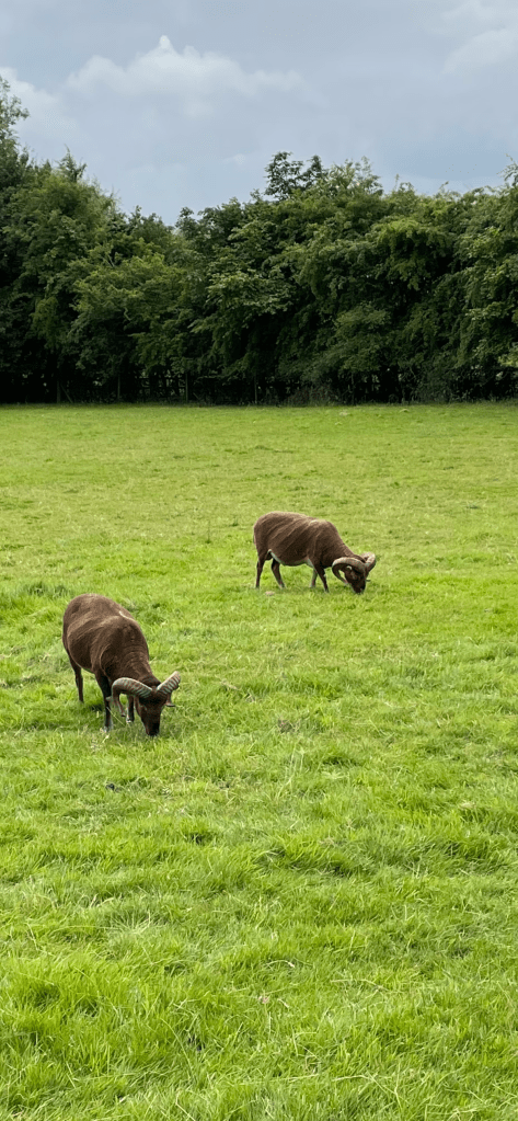
Walking past a couple of goats, that took no notice of us, we continued along pleased to find that a long path diversion that had been in place the last time we walked this route was now lifted.
We continued along the banks of a dyke taking us into the village of Caythorpe. The clouds were looking ominous.
Caythorpe is a quaint little village. I enjoyed looking at the nice cottages.
Soon we were heading across more fields bringing back into Gunthorpe and the end of our walk. It had been a nice walk and thankfully the rain held off.
Yesterday was the sponsored walk along the Grantham Canal from Tollerton Lane Bridge to Woolsthorpe Depot 27.5 miles. It was a cracking day out.
The day began at 05:00 with an early breakfast and final check of my walking kit. Angela then drove us to Woolsthorpe Depot where we picked up fellow walker Anthony and headed, via the back roads, to our meeting point at Tollerton Bridge. (Our planned route via the A52 was unavailable due to a helpful road closure in place).
At 07:00 at Tollerton Lane Bridge we met the other walkers – from Greenfields Countryside Ltd. The Company had organised the walk to raise funds for the Grantham Canal restoration.
The walkers at the start of the walk
The sun was shining but there was a chill in the air as we set off along the canal. The walk had two planned stops ( 8 mile and 17 mile) where we would meet the Grantham Canal Society caravan and cold drinks, cakes, teas would be dispensed 😊.
Just leaving Tollerton Lane bridge
The youngsters in the group set off at a fast pace, 3.2 mph – I wondered whether we would have a case of the hare and the tortoise. The towpath was built of solid material and it was easy walking at this stage.
The group headed for Cropwell Bishop Country Park
As we approached Cropwell Bishop Country Park a couple of Rangers from The Grantham Canal Society were stationed to warn us of approaching traffic from a blind bend on the road. After crossing they cheered us onwards.
Skinners Lock keepers cottage Cropwell Bishop Country Park
It felt like a surprisingly short time before we arrived at our first planned stop.
Arriving at our first stop
After cold drinks, a butty and delicious cake I set off for leg 2- our next stop would be after further 9 miles near Dove Cottage, Harby.
Soon we were passing through the dry section of canal.
Oldblokewalking by a dry section of the canal
I was lucky walking with Anthony who has been a volunteer on the canal for almost a decade. He has a wealth of knowledge to impart and was proud to point out areas / projects where he had worked.
We came across a fallen tree which we had to limbo under.
Arriving at Hickling Basin the sun was strong but we were doing great.
Leaving Hickling basin on good towpathOldblokewalking at Clarkes Bridge
We had a short stop just past Bridge 37 and waited for everyone to re-group.
As I met people along the route I stopped to chat to them and explain why we were walking along the canal. I enjoyed these chats but unfortunately it did mean that I had to work hard to catch up with the group!
I was ready for a cold drink by the time we arrived at our stop near Dove Cottage . We were surprised when The Red Arrows flew past – always impressive to see.
ScreenshotPlanned Stop 2Planned Stop 2 near Dove Cottage
At this stage we knew the hard bit was to come. The towpath was grassed and overgrown which would make the walking harder.
Leaving our second stop
I was bitten by a horse fly which seemed abundant in this final section. One of the walkers dropped out due to a very bad blister. Other walkers were feeling the strain. Thankfully, I was doing ok
I saw a walker coming towards us that looked familiar – it was Angela 😊and a sight for sore eyes. A boost to keep us going on the final few miles.
I witnessed people digging deep to finish even though they were suffering. I received phone calls from folk checking on our progress – all was good. This final section was a tough one.
As we walked the the last half mile towards the depot at Woolsthorpe (our destination) we heard cheering and clapping from the canal side – Those younger hares had beaten the tortoises on this occasion but they were cheering us on – they knew how tough it had been.
The tortoises arrive at the depot
Walking down the lane into the depot we received more rapturous applause – I found it very moving.
A BBQ awaited us and a cold drink. I noticed that quite a few of the young walkers were limping around and had their boots off. Yes, I thought, it HAD been a tough walk.
The group celebrates at the end of the walk with support crew
It had been an amazing day out. I thoroughly enjoyed it and helped towards raising £1500 for the restoration of the canal.
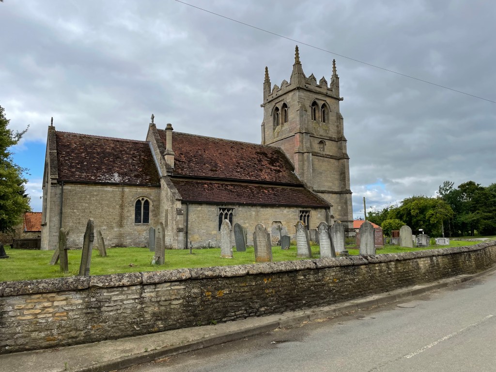
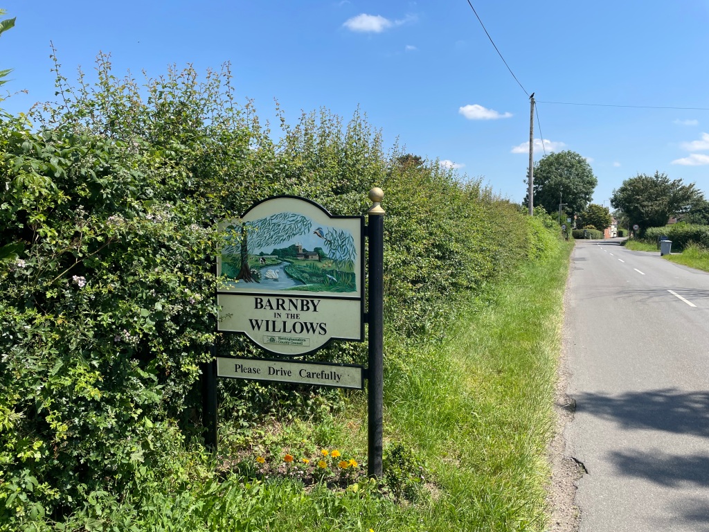
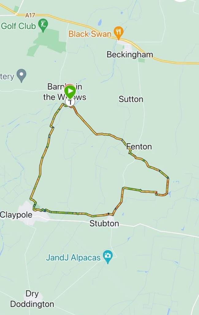
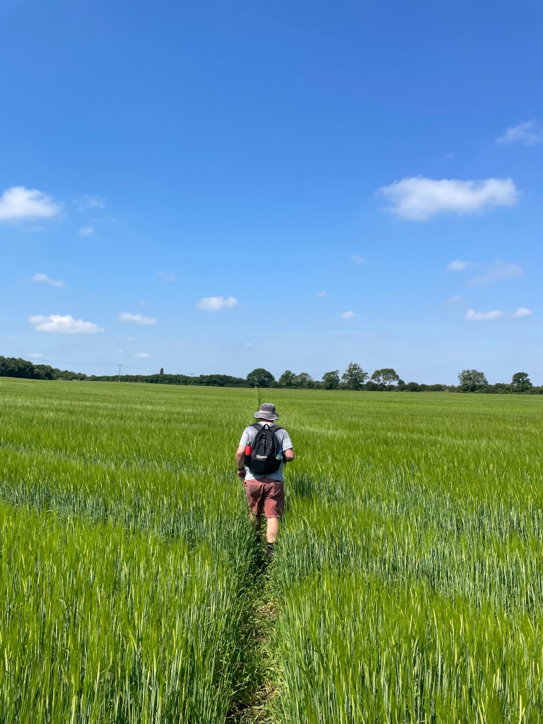
Today’s walk by the Three Amigos was an 8-mile circular walk from the Nottinghamshire village, with the wonderful name of Barnby in the Willows.
Our walk would take us across the county border into Lincolnshire passing Fenton, Stubton and Claypole.
It was a misty start to the day that had been forecast to be the hottest of the year so far – it didn’t take long before the temperature started to rise. We had all come prepared with plenty of water and sunscreen.
I took great delight in pointing out to Chris that he was last to the meeting point again. Its the simple pleasures in life that give satisfaction 😊.
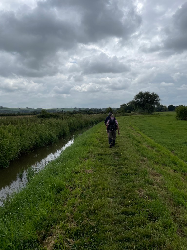
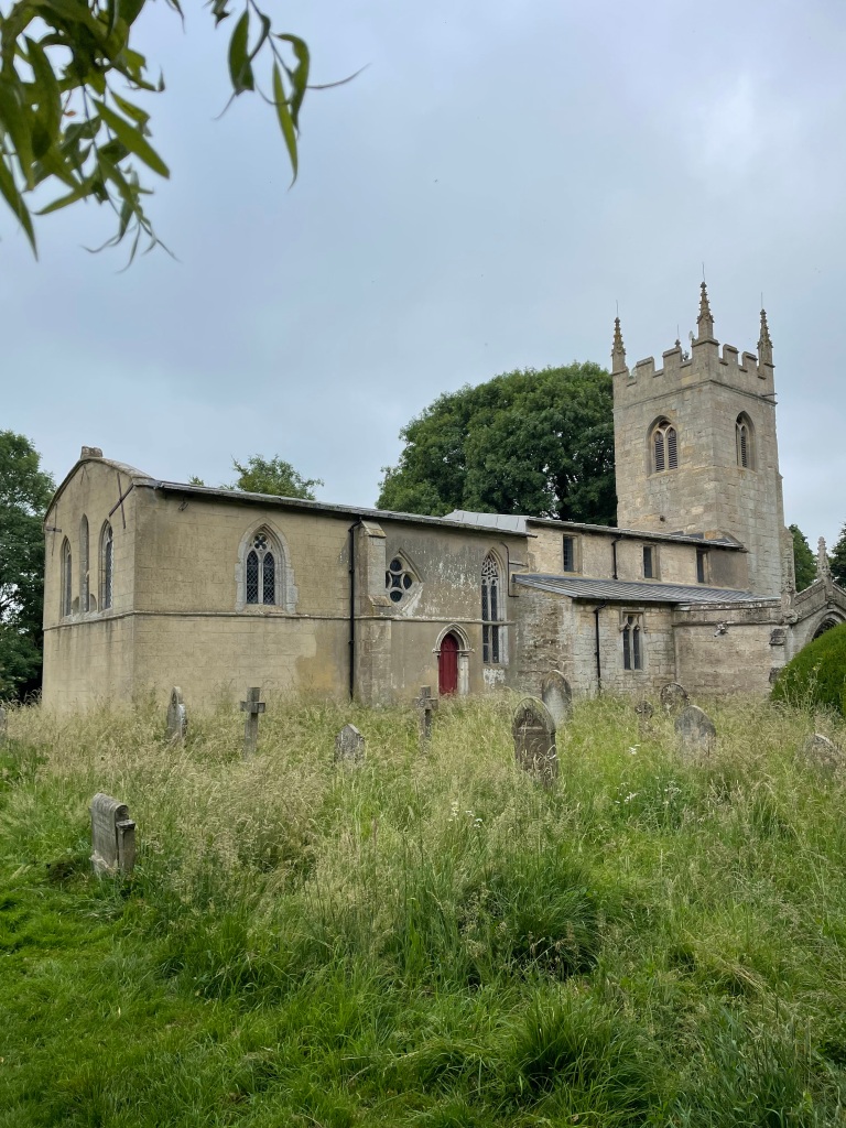
We began our walk from All Saints church passing through the cemetery and crossing a bridge over the river Witham into open farmland.
All Saints Church in Barnby in The WillowsCrossing the River WithamMick and Chris following a well mowed path with cloudy sky overhead
It was a cloudy start to our walk as we followed a recently mowed path that took us to Fenton Village. After a friendly quick chat to one of the locals, who was interested in our walk, we headed towards Stubton.
Chris and Mick On the way to Stubton
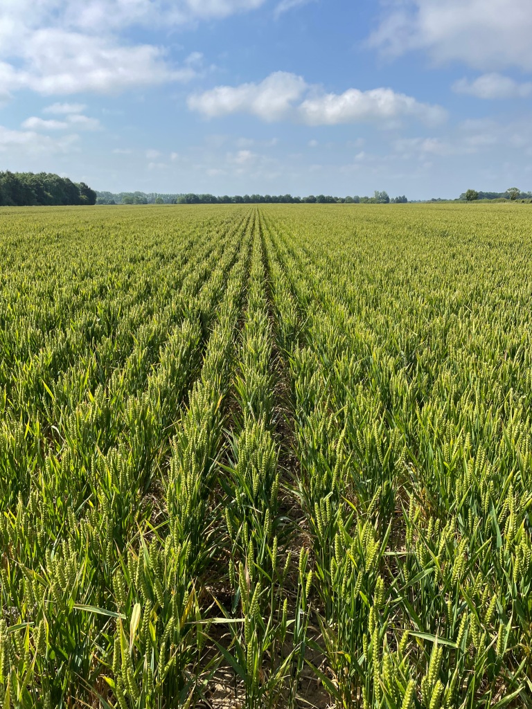
Our walk would take us across many fields, most of which had good pathways across.
Nicely drilled crop
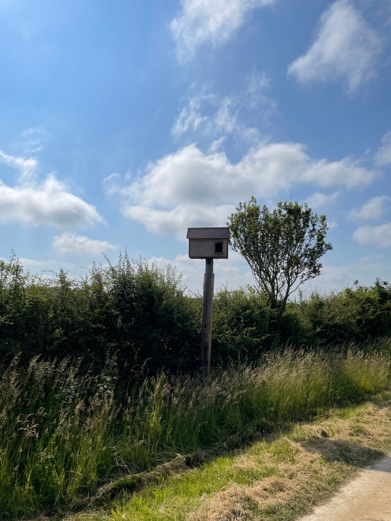
We passed by a large bird box- maybe for Owls?
Our conversation at this point was covering why the England football teams performance consistently disappoints, the lack of credible choice in our impending General Election and why our water pollution is out of control while water companies pay shareholders large dividends. All frustratingly annoying issues but good for a natter 😊. The miles slipped easily past.
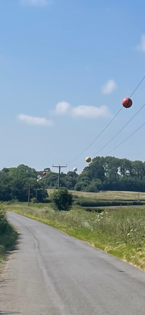
Walking along a road towards Stubton we wondered what the spheres attached to overhead power lines were for – turns out they are for the safety of low flying aircraft!
Spheres on overhead power lines
We passed Stubton Hall just before the village- a very impressive looking hotel, and then took a footpath across numerous fields towards Claypole.
Stubton Hall
Some of the grass fields had just been mowed and it was surprisingly difficult walking through them. They reminded me of earlier in the week when I was volunteering by the Grantham Canal and making mini haystacks by lock 18.
Me hard at work!mini haystacks by lock 18
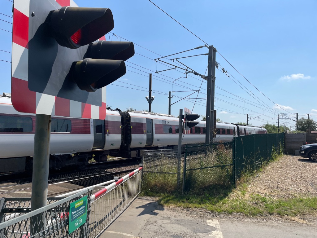
We were looking for somewhere to take a break as we were 6 miles into our walk and it was getting close to midday. Crossing the East Coast mainline railway line we found a nice sheltered spot to sit and take a breather. The expression ‘Only mad dogs and Englishmen go out in the midday sun’ sprung to mind.
East Coast mainline trainA nice shady spot for a break
After our break we took a circuitous route passing Claypole community park which looked a great facility, and crossed the railway line again at a different point to head on a bridleway towards Barnby in The Willows.
Nice Blue Sky
The bridleway disappeared after a while and we were then crossing bean fields. I think we were all loving the walk and in particular the beautiful weather – its been a long wait for it to arrive! A memory to store away for those long cold winter days ahead.
We arrived at the river Witham and followed that back to the bridge that led to the church yard that we had left from.
Walking along the bank of the river Witham
It had been a wonderful walk, in beautiful weather, with great company – what more could you want?
I am really looking forward to the 26 mile sponsored walk that I am taking part in this Saturday to raise funds to help restore The Grantham Canal. It will be a challenge but I suspect it will be immensely enjoyable. Look out for that blog!
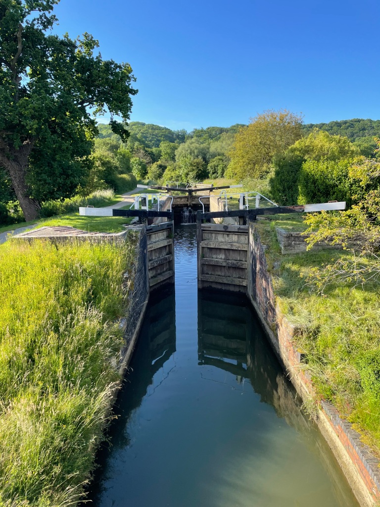
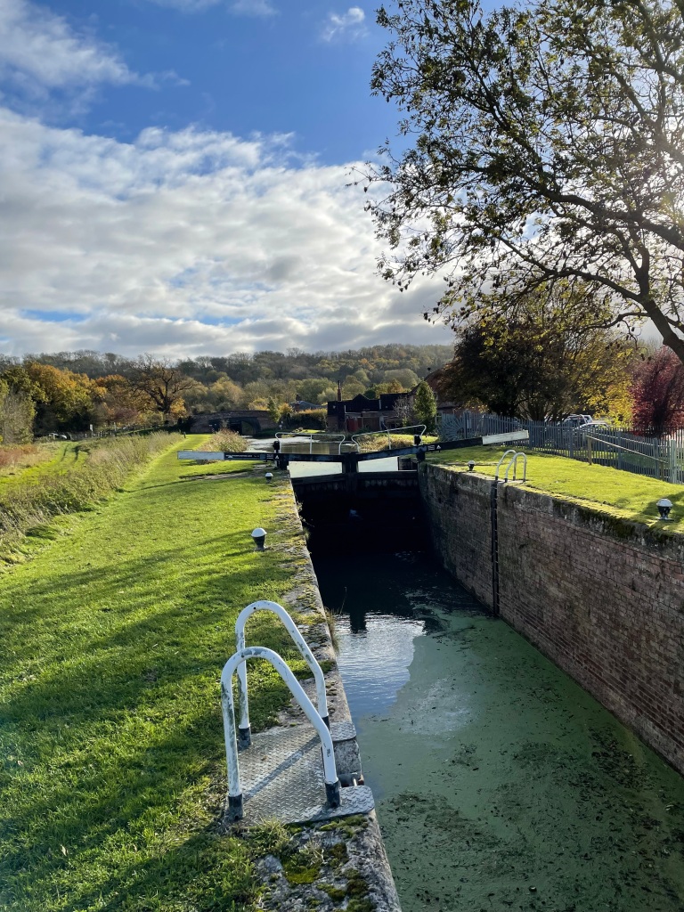
Summer has finally arrived and I was looking forward to going out walking early this morning on a familiar 8-mile circular route taking in The Grantham Canal, Denton Reservoir and the old Ironstone Railway track.
Lock 17
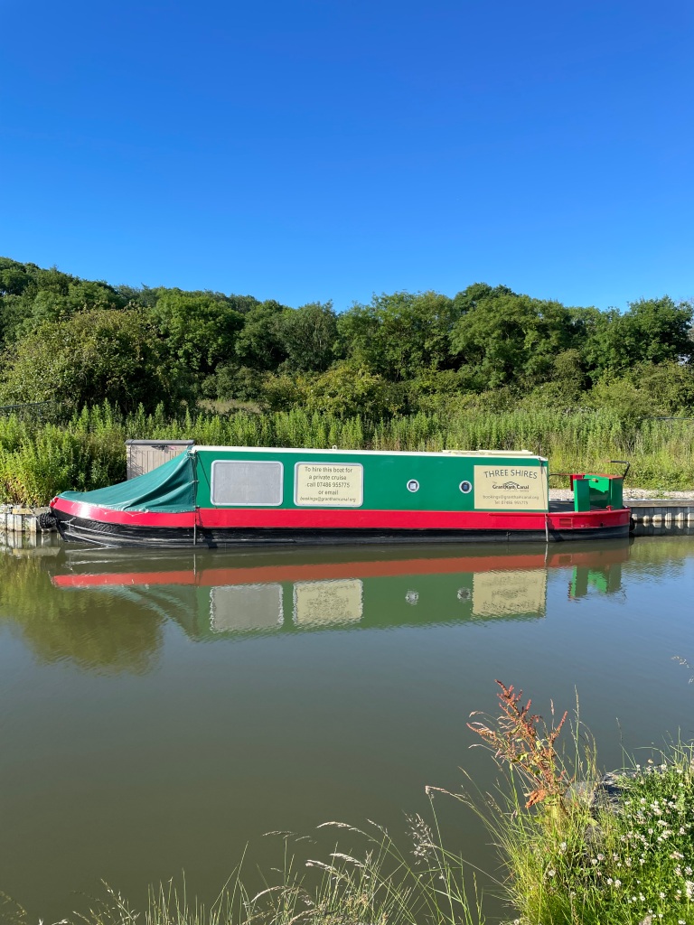
I parked on the road next to The Dirty Duck pub at Woolsthorpe by Belvoir and set off following the towpath past locks 17 & 18. The Grantham Canal Society ‘Three Shires’ cruise boat was moored close to lock 18.
Lock 18The Three Shires Cruise boat
The sun was warm on my face and the towpath was clear – wonderful!
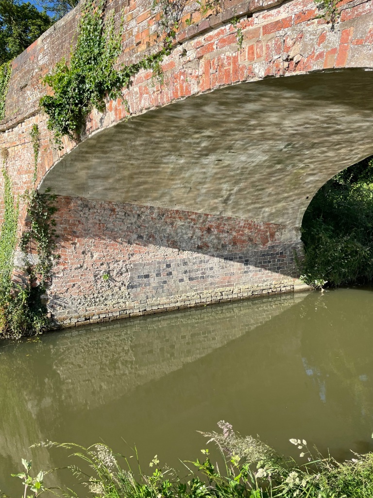
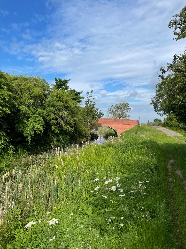
I was soon passing under Longmoor bridge which is a fine example of a skew bridge – the bridge does not sit at 90 degrees to the canal and the brick courses under the arch are skewed which gives the bridge greater strength. There are also slots in the roof to allow bats to roost.
Longmoor bridge – a skewed bridge.
Next up was my favourite bridge along the canal- the Casthorpe bridle bridge. I think I like it because it reminds me of the Mathematical Bridge at Cambridge.https://en.wikipedia.org/wiki/Mathematical_Bridge
Casthorpe bridle bridgeThe Mathematical Bridge, Queens college Cambridge
As I walked further along I spotted a ‘weed-berg’ floating on the surface of the canal – these could get wrapped around the prop of a canal boat and are best avoided.
A ‘weed-berg’ in the canal
I passed four groups of Duke of Edinburgh award students navigating their way along the canal.
As I neared Harlaxton the vegetation along the towpath was crowding in and the sense of openness I had felt earlier on the walk disappeared.
I left the canal at Harlaxton bridge, peering into the murky waters of the canal as I crossed.
The canal at Harlaxton
A nice walk across fields (I remember the same fields in spring being sodden with mud) brought me to the open expanse of Denton Reservoir – built to supply water (it has a capacity of 60 million gallons) to the canal.
Denton Reservoir
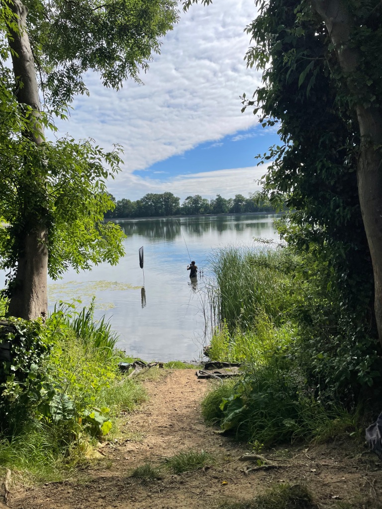
I sat for a break taking in the quiet and the view. Anglers could be seen dotted around the outside of the reservoir.
An angler reeling in his catch
Leaving the reservoir I passed through the village of Denton and headed up the road to pick up the dismantled track of the former Ironstone railway by a bridge.
My access from the road to the old railway track
It was a nice walk along the track, partially in the shade and no one to be seen.
The old Ironstone railway track
Passing through the support pillars of a dismantled railway bridge I picked up the Viking Way which brought me back to the canal.
A short walk along the canal brought me back to the car and the end of todays walk.
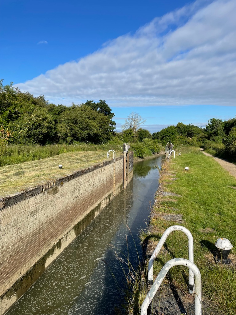
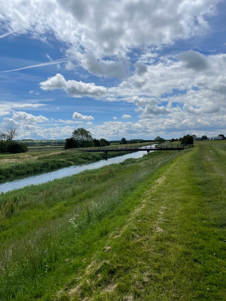
My solo walk today was 12 miles along the Grantham Canal (currently being restored by The Grantham Canal Society). I parked my car near the canal at Dove Cottage and planned to walk towards Hickling. As you will see, things didn’t go as planned.
It was a fine June morning, but on the chilly side, as I set off along the canal just after 08:00.
View along the canal from the road bridge at Dove Cottage
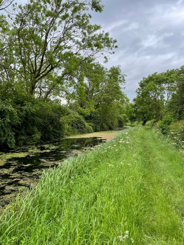
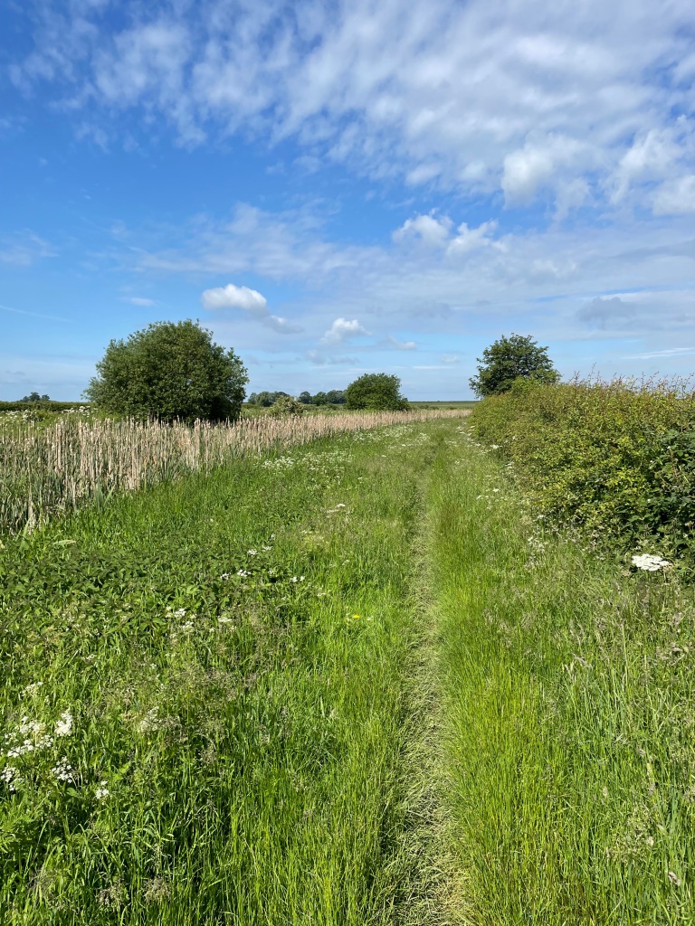
Last week I had walked east from Dove Cottage so today I was walking west. This section of the canal is full of weeds and reeds. So much so, that you cannot see the water.
There was a breeze and, as I was walking, I could hear the reeds moving with the wind – this, I find quite relaxing. The wildfowl living in the reeds were quite vocal as I passed – no doubt signalling to others that there is an intruder in their area.
I saw a field where the grass had been cut and bailed up already. That’s early I thought to myself.
I passed a quaint little pedestrian bridge spanning the banks across the canal. I do like a nice bridge! There are 69 bridges along the length of the 33-mile Grantham to Nottingham canal.
The grass on the towpath was definitely in need of a trim – hopefully soon!
Towpath in need of a trim
Continuing along the towpath I passed old Harby Mill warehouse- still standing proudly beside the canal.
Harby Mill
Just pass the old warehouse I spotted Azolla on the surface of the canal. Azolla is a rapid growing water fern that can reduce light and oxygen levels in the canal harming fish and other wildlife.
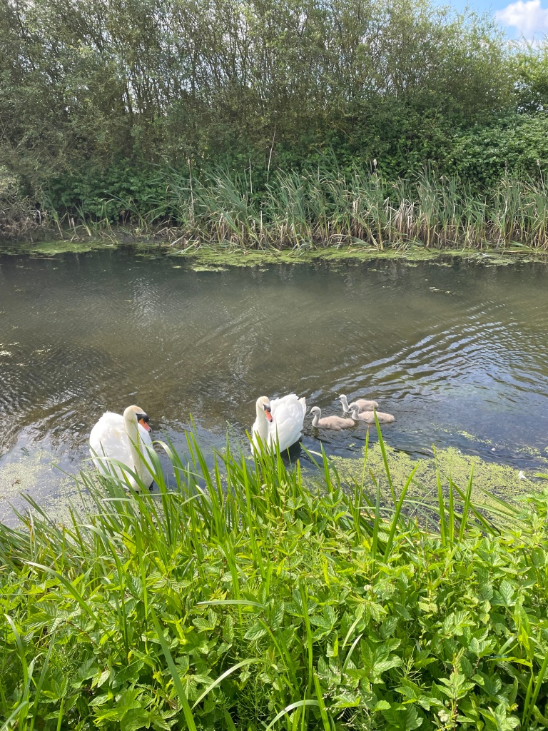
I continued along the towpath and saw a pair of swans, complete with their large new family, directly in my path.
I slowed down admiring the little cygnets. The male Swan started to hiss at me and fluff up his wings. Naturally he was protecting his family. I had a decision to make – do I press on and upset the Swans or about turn and finish my walk going in the opposite direction?
I decided to leave the Swans in peace and turned around 😊. I wondered whether they were on the towpath because the surface of the canal was coated with Azolla.
Metal mile markers on the towpath marked the distance from the river Trent.
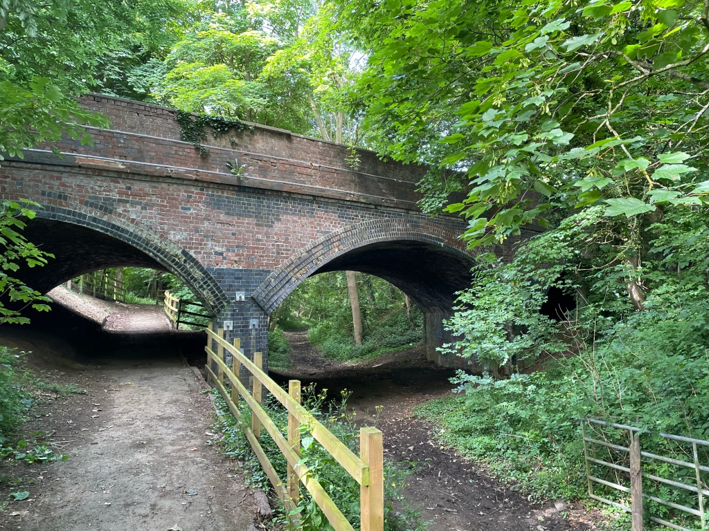
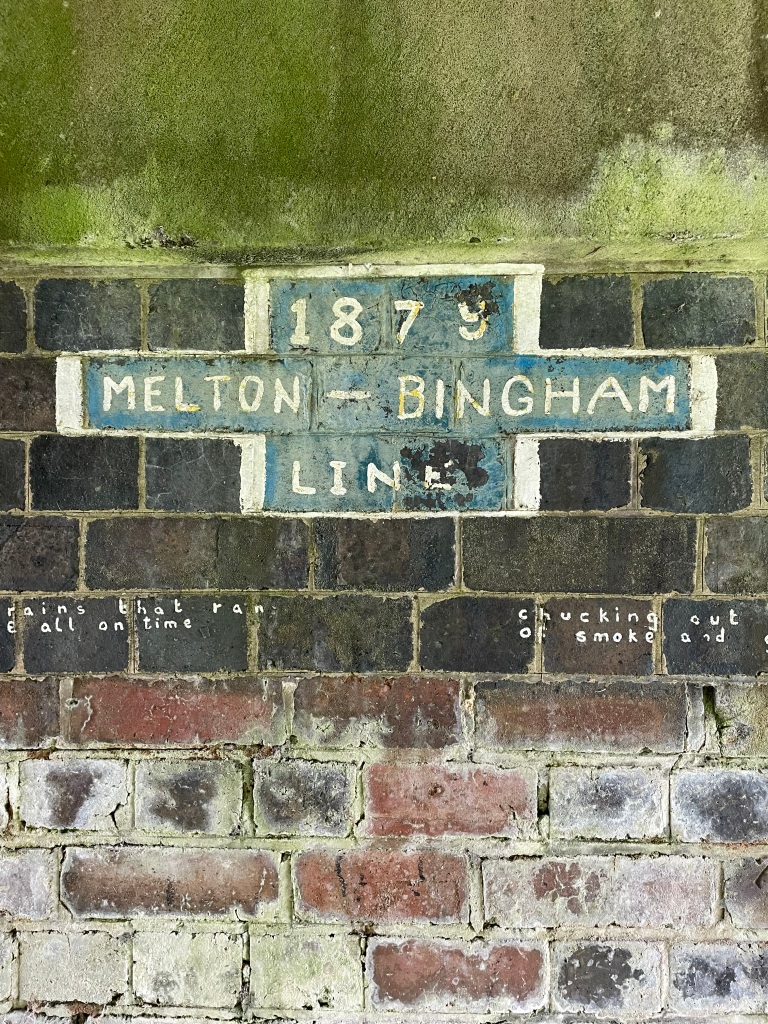
I passed under an old disused railway bridge that is being reclaimed by nature.
The bridge was from the former Bingham to Melton Mowbray line as this writing on the bridge testified.
I enjoyed the remainder of my walk. I hardly met a soul along the way today.
The 29th June, when I am taking part in a 26-mile sponsored walk along the canal, is zooming up quickly. I have my fingers crossed that it will not be raining on the day. It should be a memorable walk. Hopefully it will be the subject of a future blog.
This morning myself and Chris met up in Bracebridge Heath, near Lincoln and we enjoyed a 9 mile circular walk that gave fine views of Lincoln followed by a scenic perambulation along the river Witham. Amigo Mick was not on this walk so it was a ‘Two Amigo’ walk today. Chris was keen as mustard for the walk because, for the first time ever, he was first to the meeting point!!
Leaving the car park we walked through a housing estate to reach a field where we started to get fine views.
View over Lincoln
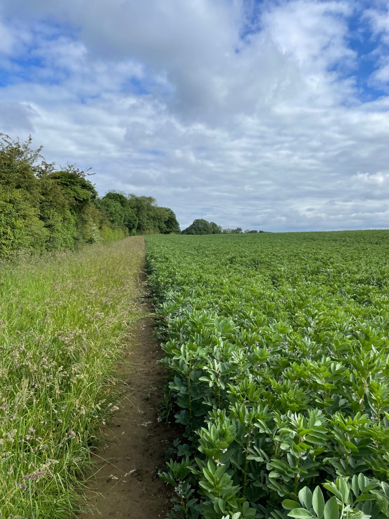
Following our route we found that a landslip had taken away our path so we checked our maps and found a detour. Crossing the A607 we entered a field containing beans and followed that around until we could drop down on to our intended path. My legs got very wet from the long grass on this path.
The path by the bean field
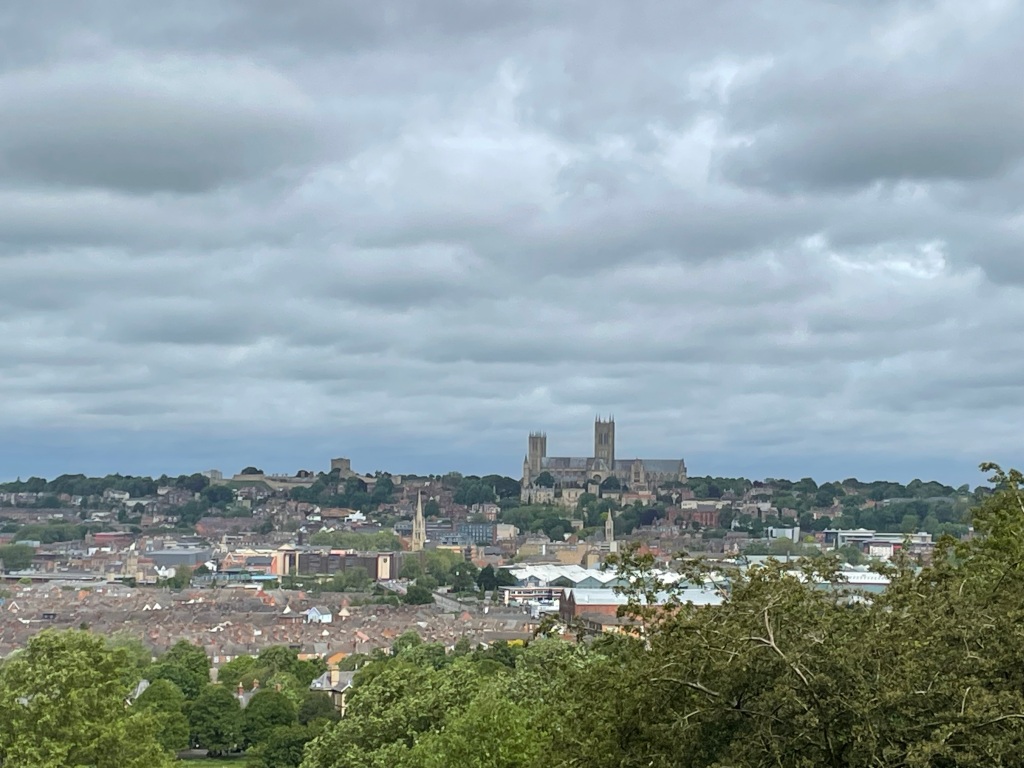
We had arrived on a path above South Common and were rewarded with lovely views of the Common and Lincoln Cathedral sat majestically on the hill. https://lincolncathedral.com/
South CommonLincoln Cathedral
The cathedral is very impressive and well worth a visit. Lincoln is a historic and beautiful city. We could see the Keep of Lincoln castle situated close to the cathedral.
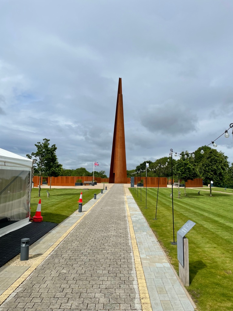
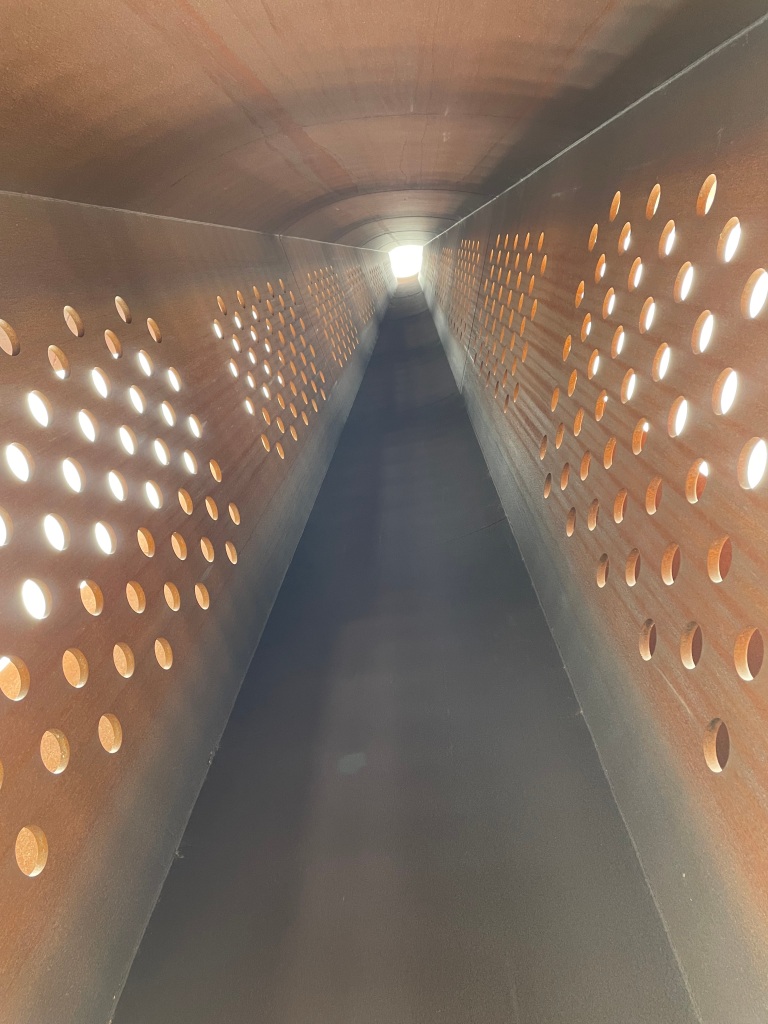
We passed the International Bomber Command Centre. We didn’t visit today, but I had visited earlier in the month – hence the photos below. https://internationalbcc.co.uk/.
The IBCC – the sculpture represents the food drops that were carried out in post war Germany .Memorial spire and wall of namesView from the base of the Spire looking upwards.
After passing IBCC we headed downhill towards South Common.
Chris on South Common
Looking back we could see the Spire on top of the escarpment.
Chris informed me that the height of the Spire was the same as the wing span of a Lancaster bomber!
Horses were grazing on the common which is a lovely open space.
Horses grazing on the CommonSouth Common
We passed across a bridge over the site of an old railway line – I said to Chris that it was the Melton Mowbray line (most old railway lines seem to me to pass through Melton Mowbray) but Chris did some research and found that it was, in fact, the Lincoln to Honington line!
We saw a handy bench and stopped for a cuppa. Refreshed we found our way to a drainage dyke that led us to the river Witham.
Chris viewing the drainage dyke
At the weekend myself and Angela had visited Easton Walled gardens which is about 5 miles from the source of the river Witham. The river runs through the gardens under a lovely ornamental bridge. It was coincidental that I was by the Witham again today.
The river Witham in Easton Walled gardens- 5 miles from its sourceEaston Walled Gardens
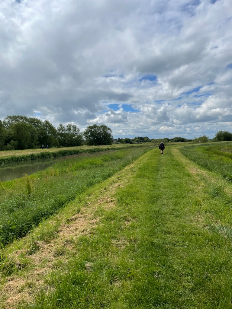
After a short walk by the dyke we met the river Witham and followed the path for about 2.5 miles.
river WithamChris walking on the river bank
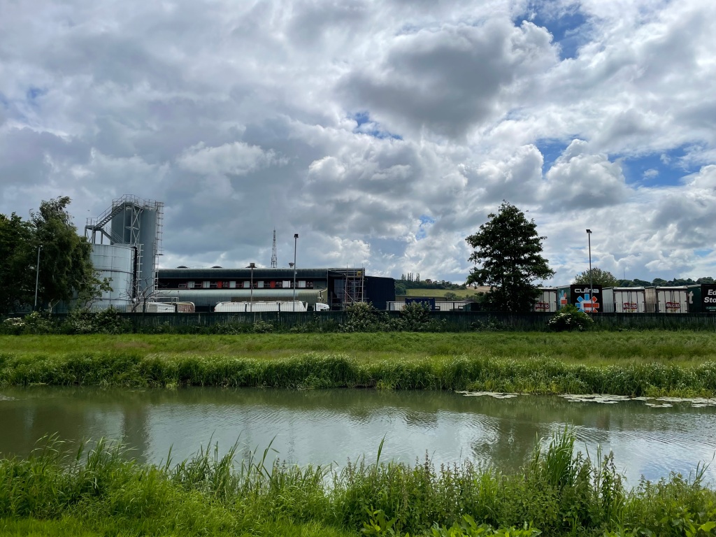
We passed a factory and a passer-by informed us that it is a Walkers crisps factory (that makes Quavers apparently).
Walkers Crisps factoryWe stopped for another break at this bridgeRiver Witham in the background
As we were walking along the river we were deep in conversation about the SAS when I suddenly realised that there was no longer a river – we had missed our turning and were following a drain! Oops. We back tracked to pick up the river – I don’t think we would make the navigation grade for the SAS! It was a funny moment.
Crossing another bridge, further on past the sewage works, we walked through an urban area to pick up a path that led back up the escarpment.
Our path back to the escarpment
As we neared the hilly section Chris set off like a rat up a drainpipe and whizzed up the hill.
Reaching the top it was a flat walk along the escarpment back to the cars enjoying the distant views along the way.
It was sunny but on the chilly side this morning as I set off on an 18 mile walk along The Grantham Canal. I would be doing a ‘there and back’ starting in Woolsthorpe- by- Belvoir and going to Dove Cottage Tea rooms near Harby.
A canal view today
Why did I walk 18 miles? -you might well ask. Well, on the 29th June I am taking part in a 26 mile sponsored walk along the canal, from Gamston to the Grantham Canal Society depot at Woolsthorpe, in order to raise funds for the Society. http://www.justgiving.com/crowdfunding/granthamcanalsociety
The Grantham Canal runs 33 miles from Grantham to the river Trent in Nottingham. With the coming of the railways, sadly, the canal fell into disuse. The canal is gradually being restored by The Grantham Canal Society but there is still a long way to go.
Today I wanted to do a longer than usual walk to condition myself to the longer distance.
It was a perfect walking day – not too hot and a gentle breeze, as I set off from the depot.
The canal society depot at Woolsthorpe
I walked past a series of locks that have been restored by the Society.
Lock 16
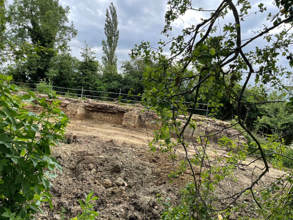
When I reached lock 13 there was a detour off of the towpath because this is the lock that is currently at the early stages of restoration.
Exposed side walls on Lock 13
One thing that I did notice is how much the grass and weeds on the towpath has grown in the last few weeks, not to mention the weed in parts of the canal. The wet and warm weather has certainly allowed nature to flourish.
I passed a couple of swans with their three Cygnets – lovely to see!
As I walked along the canal I realised how much I was enjoying it because navigation was simple and there were no worries from traffic. I had nice chats with a number of people who I met along the towpath who were also enjoying a walk.
The highlight of the walk was hearing cuckoos in the distance, its not often you hear a cuckoo and there were a plenty along my walk today.
I passed another Lancaster bomber crash site memorial – so sad.
Along the way I stopped for a break a couple of times. I definitely needed to take on board fluids. Finishing the walk I was pleased that I was feeling strong so that gives me confidence to tackle the 26 miles on the 29th June. I wonder what the weather will be like on that day?
I had enjoyed the walk and achieved my objective for today 😊.