Hello and welcome back to my blog 😊.
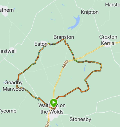
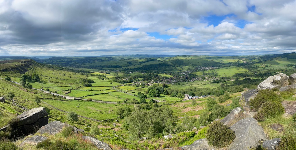
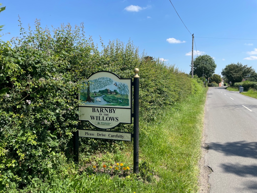
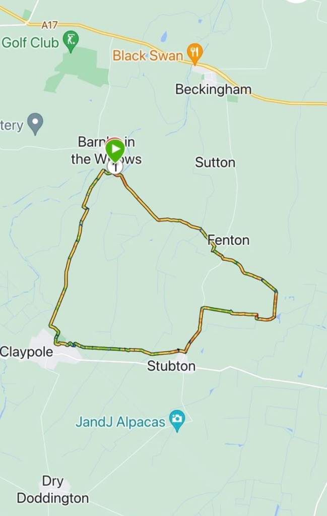
Today’s walk by the Three Amigos was an 8-mile circular walk from the Nottinghamshire village, with the wonderful name of Barnby in the Willows.
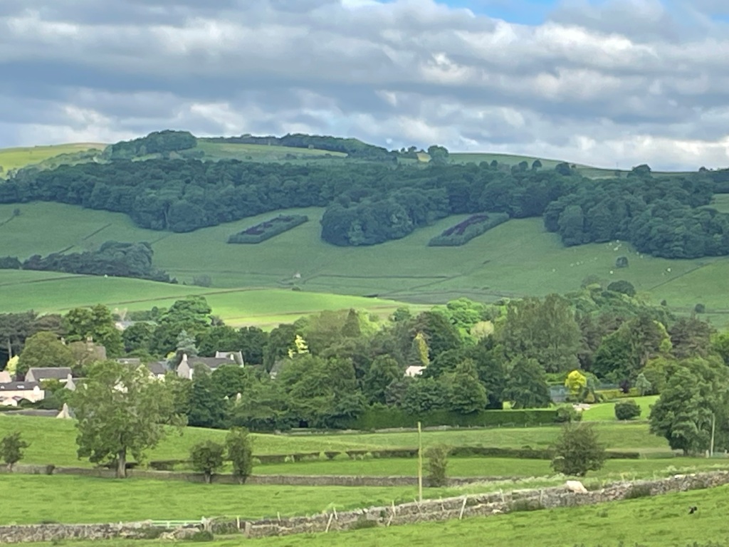
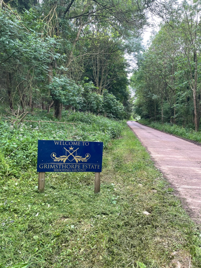
Our walk would take us across the county border into Lincolnshire passing Fenton, Stubton and Claypole.
It was a misty start to the day that had been forecast to be the hottest of the year so far – it didn’t take long before the temperature started to rise. We had all come prepared with plenty of water and sunscreen.
I took great delight in pointing out to Chris that he was last to the meeting point again. Its the simple pleasures in life that give satisfaction 😊.
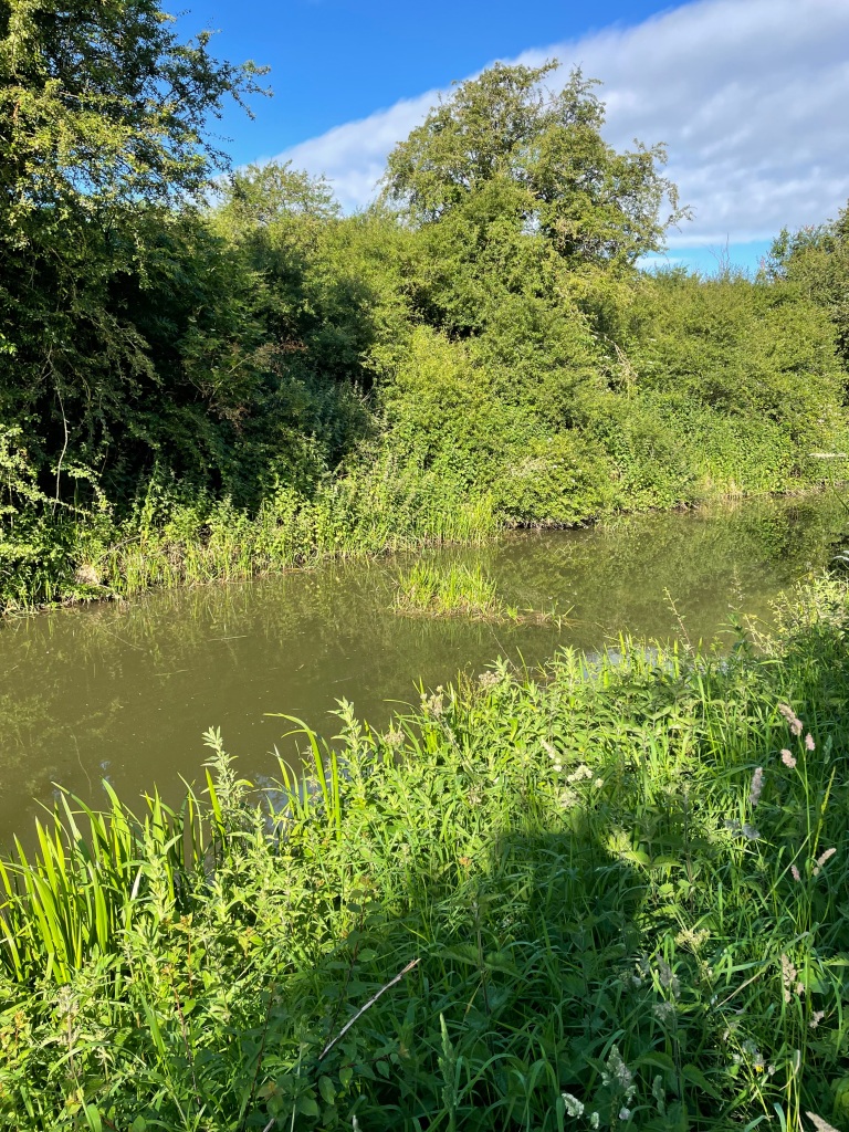
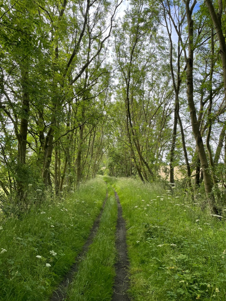
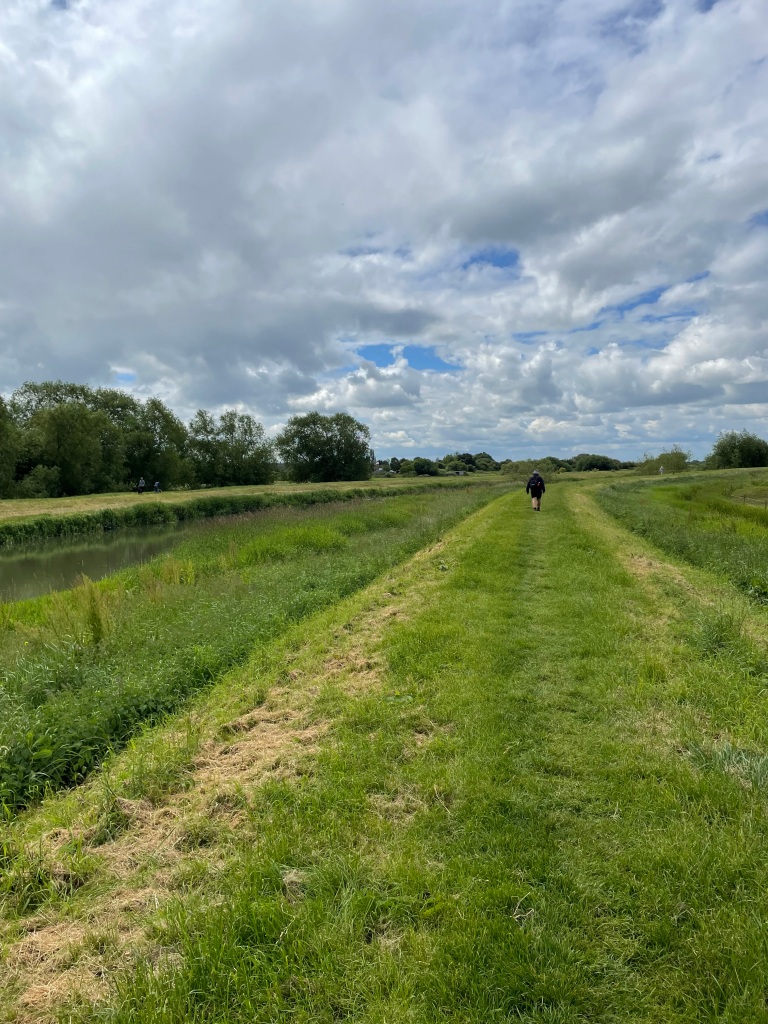
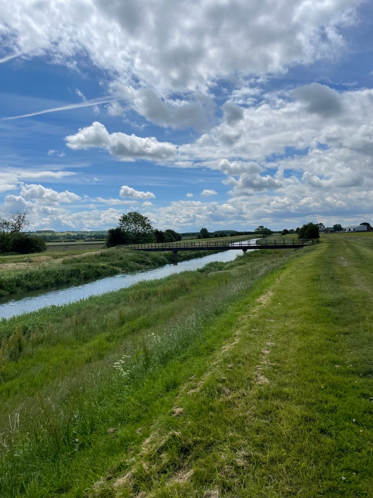
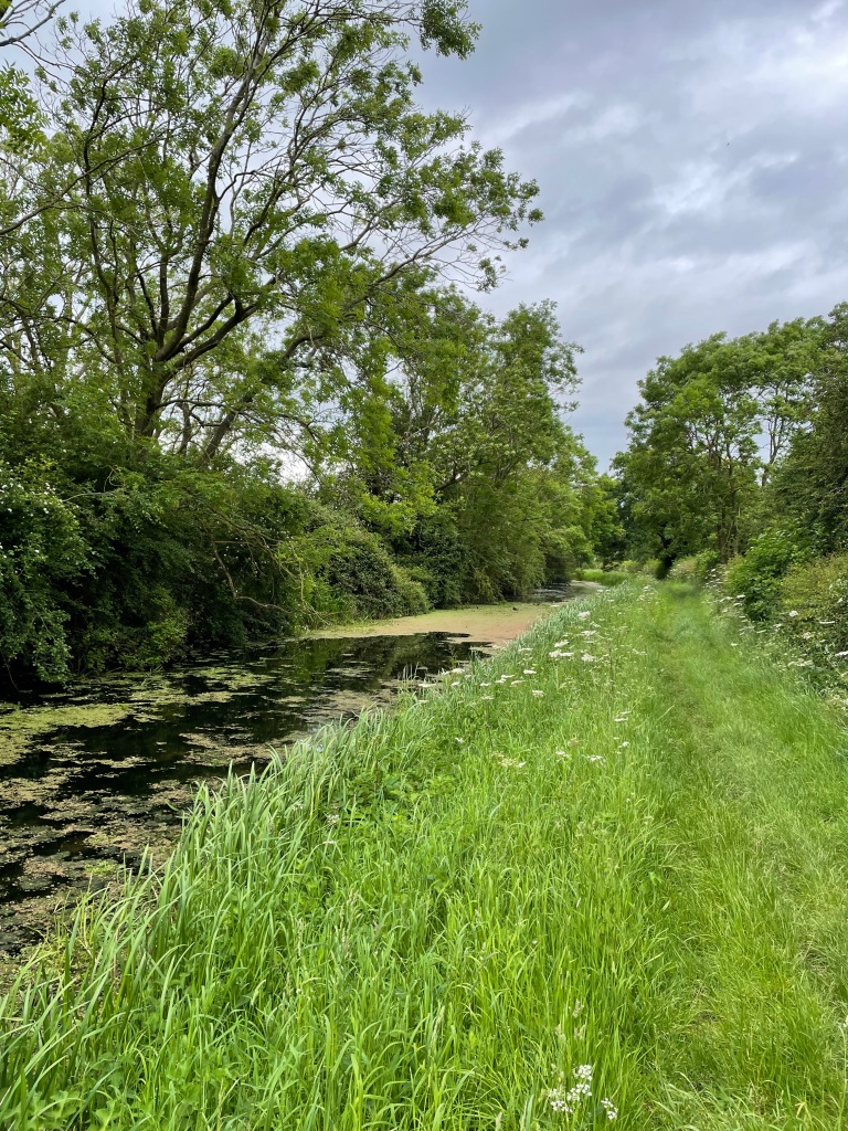
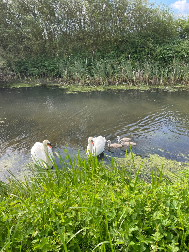
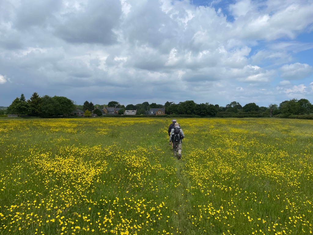
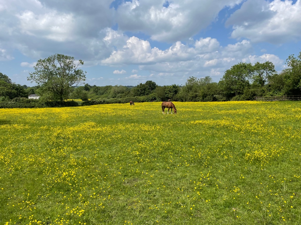
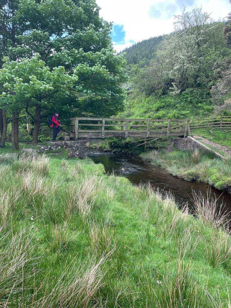
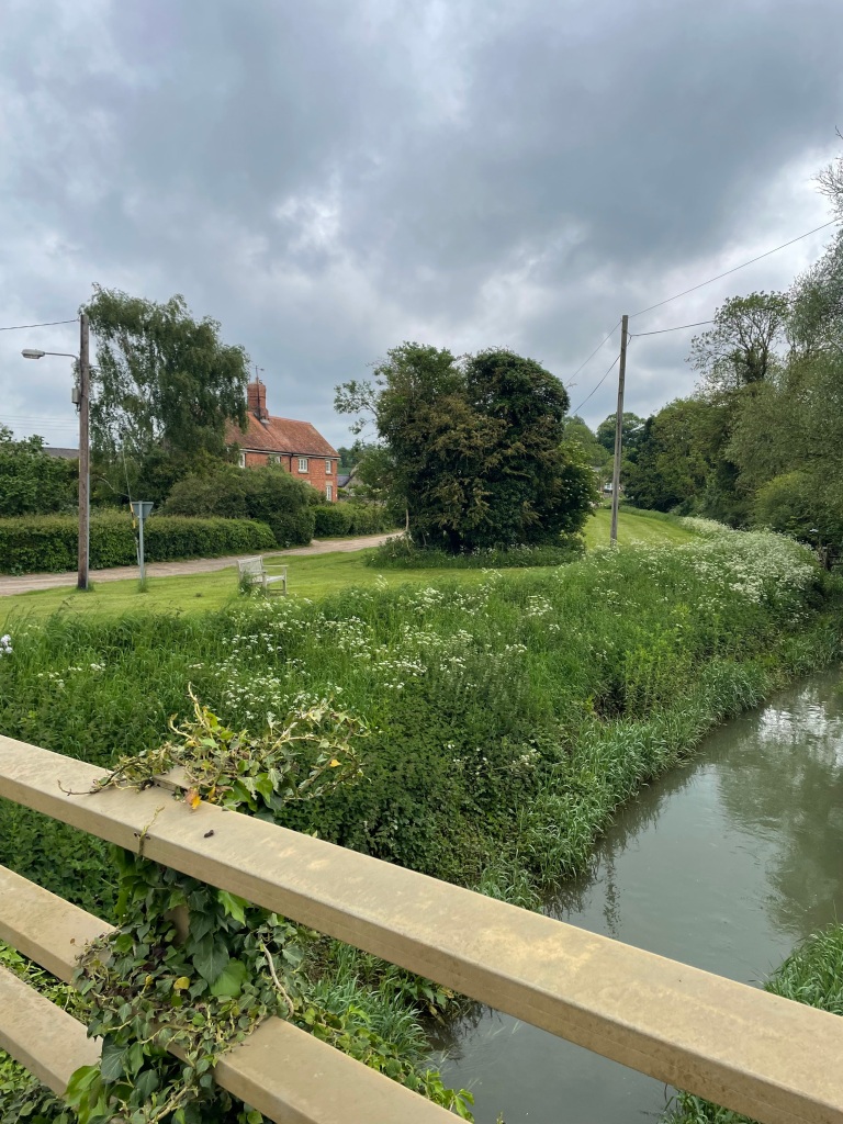
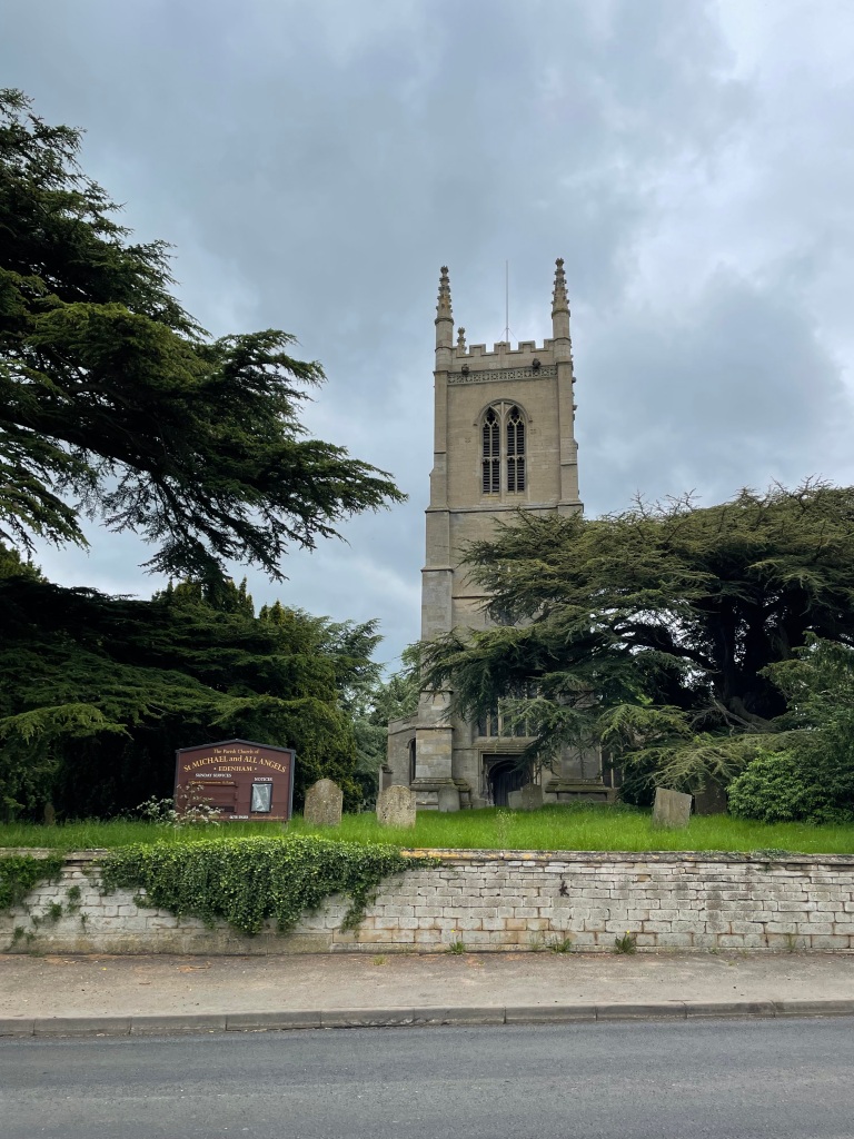
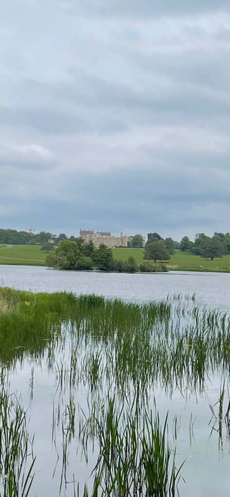
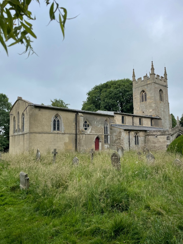
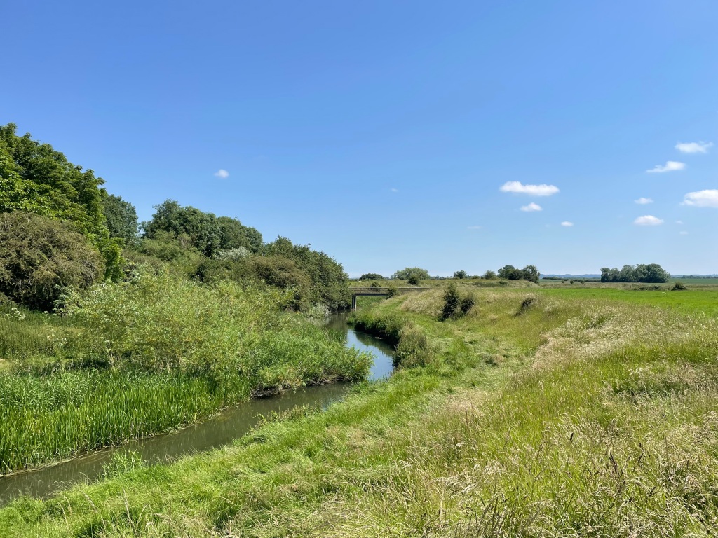
We began our walk from All Saints church passing through the cemetery and crossing a bridge over the river Witham into open farmland.
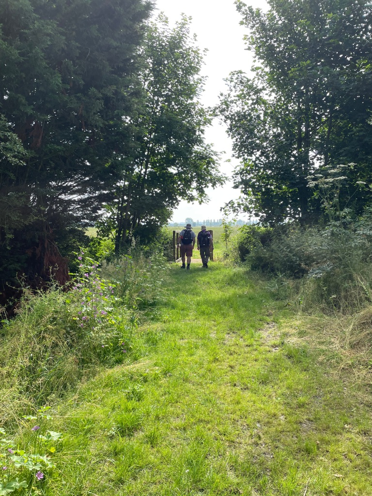
It was a cloudy start to our walk as we followed a recently mowed path that took us to Fenton Village. After a friendly quick chat to one of the locals, who was interested in our walk, we headed towards Stubton.
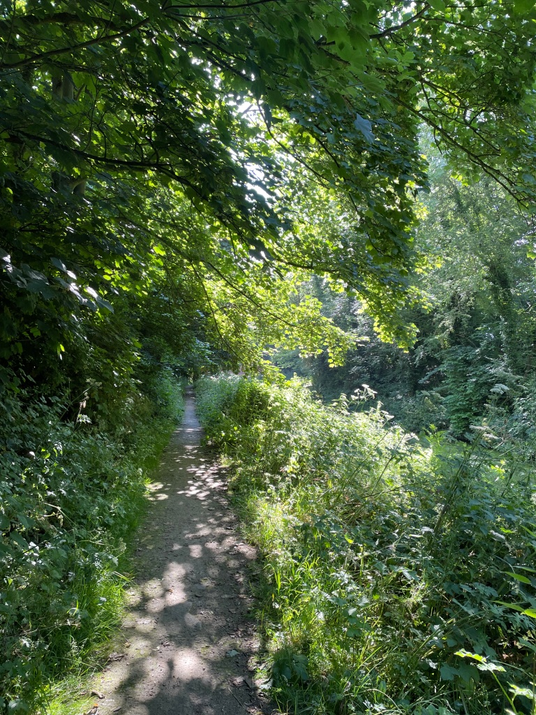
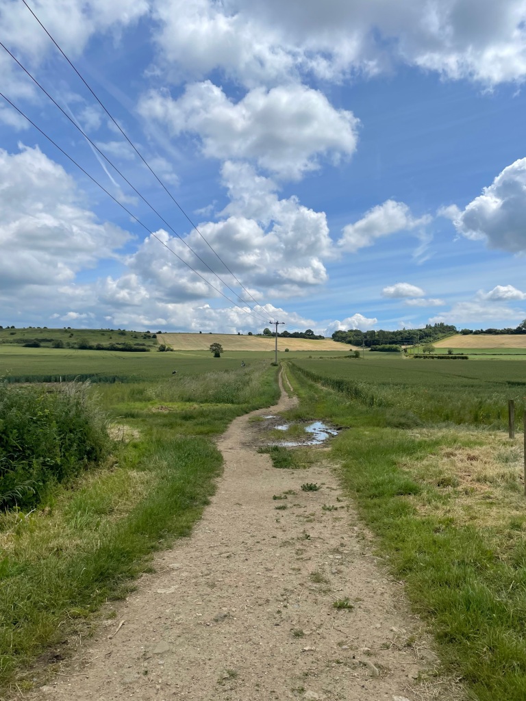
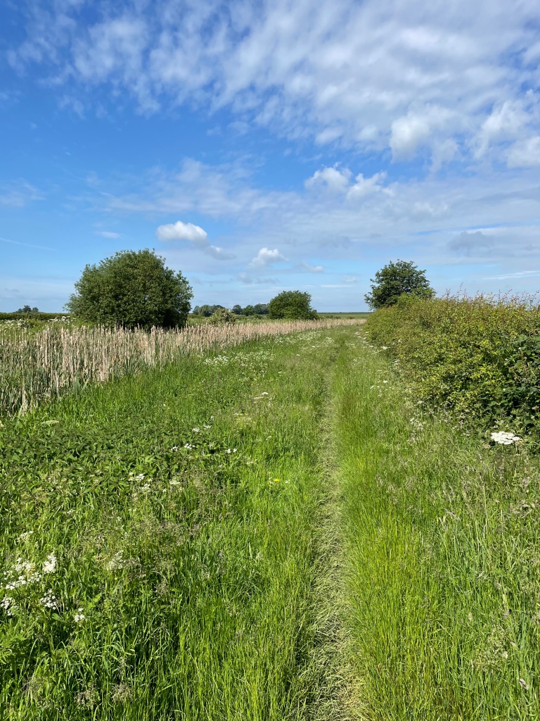
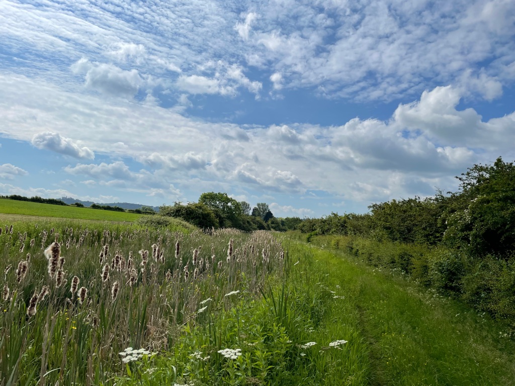
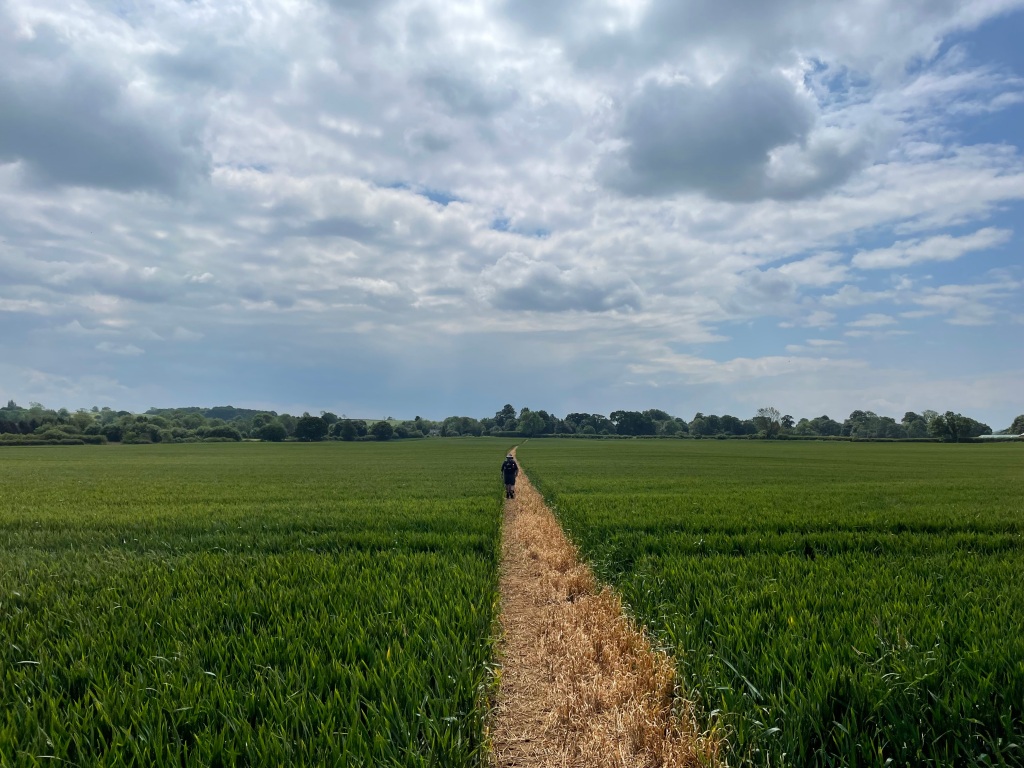
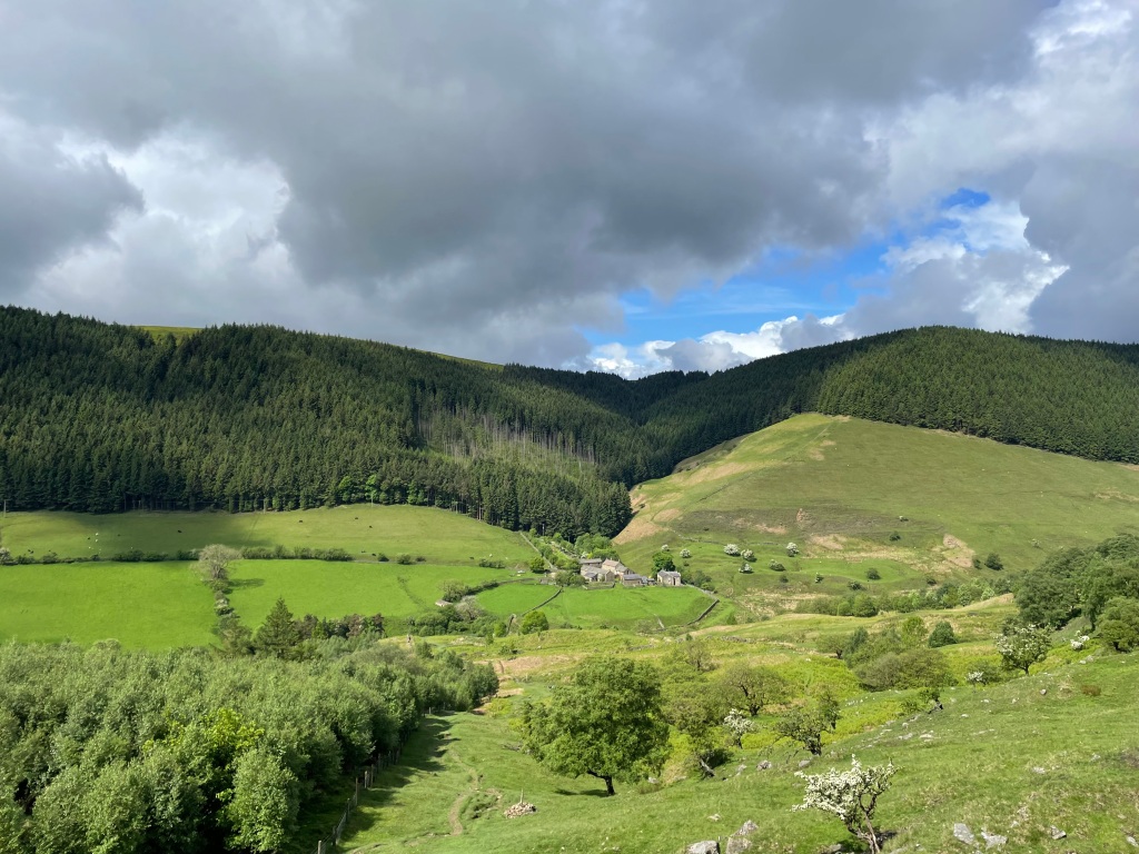
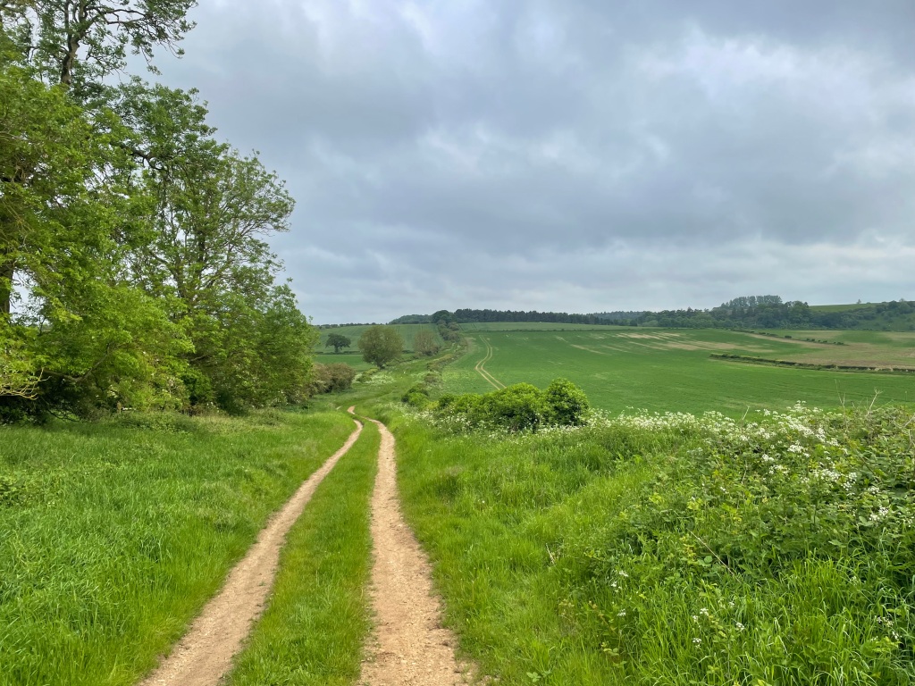
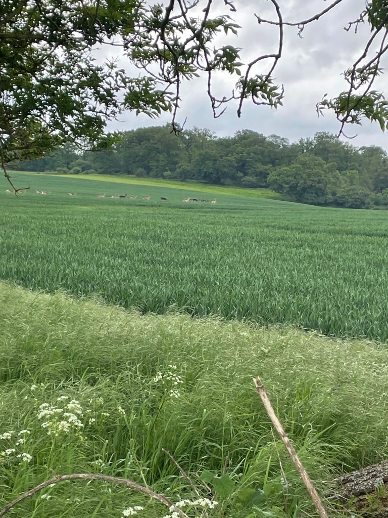
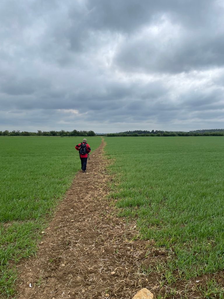
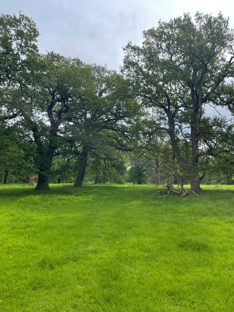
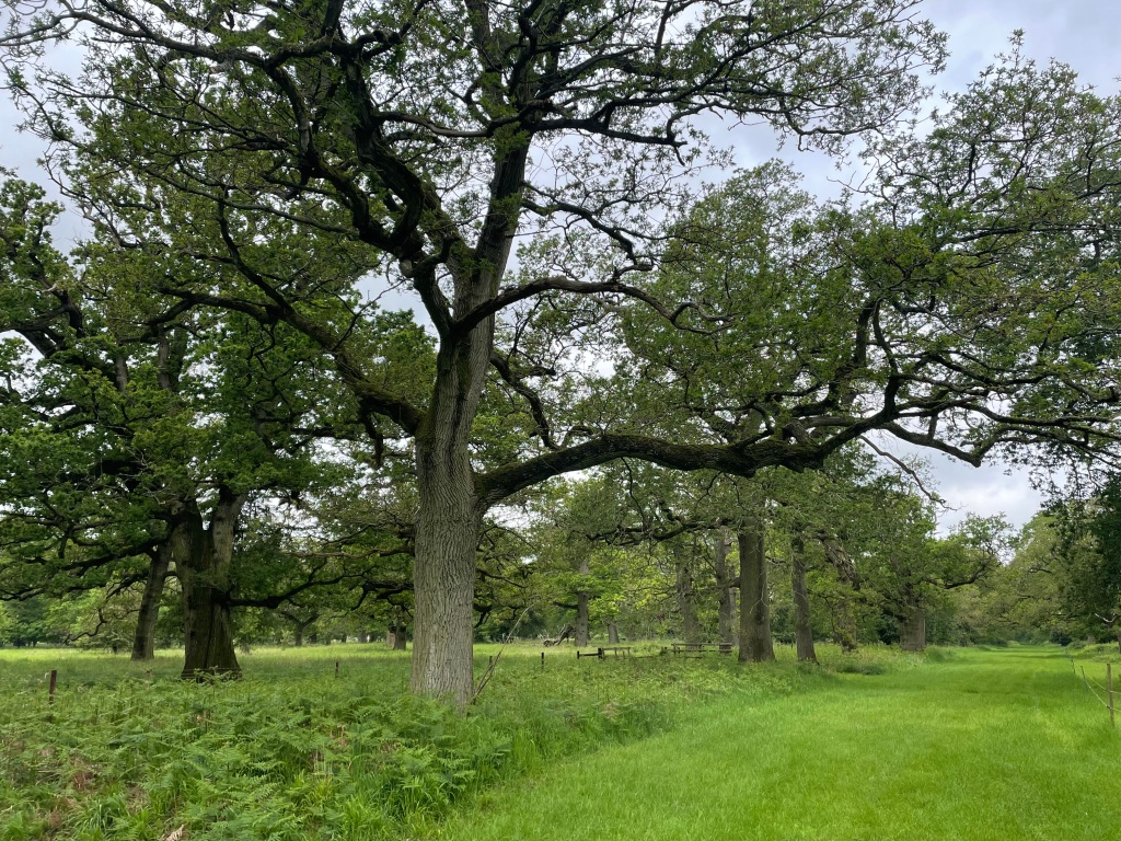
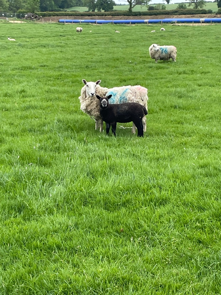
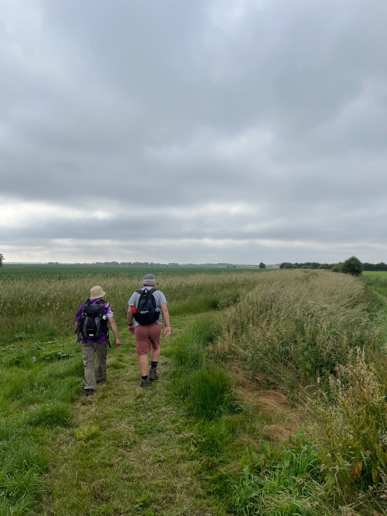
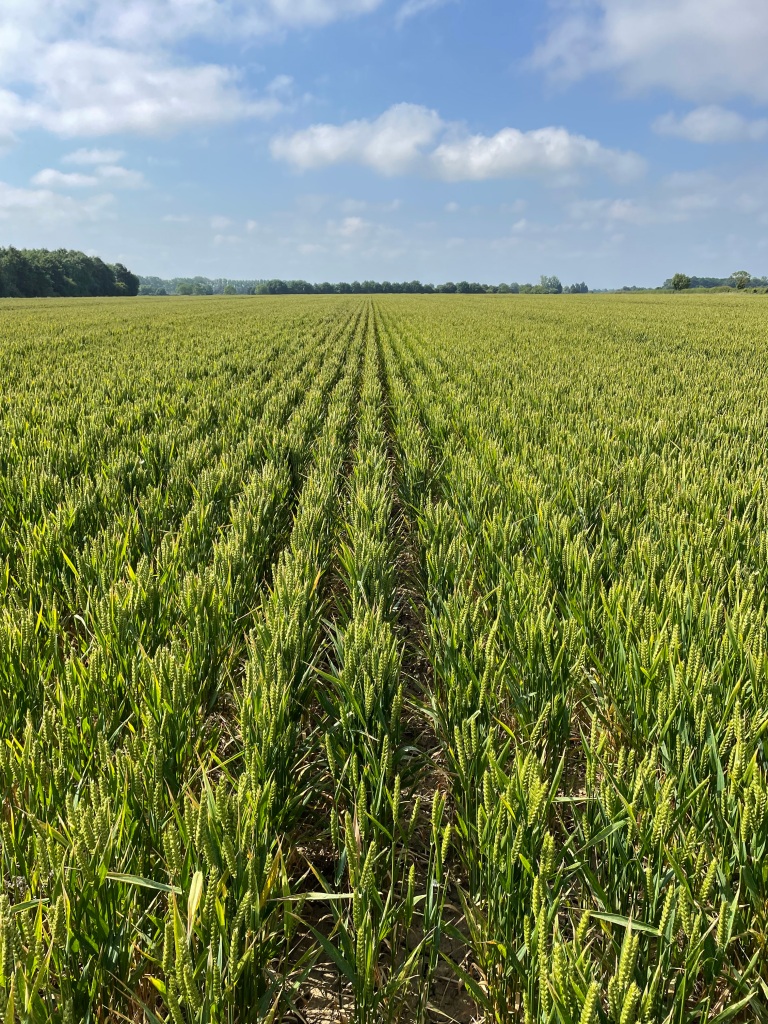
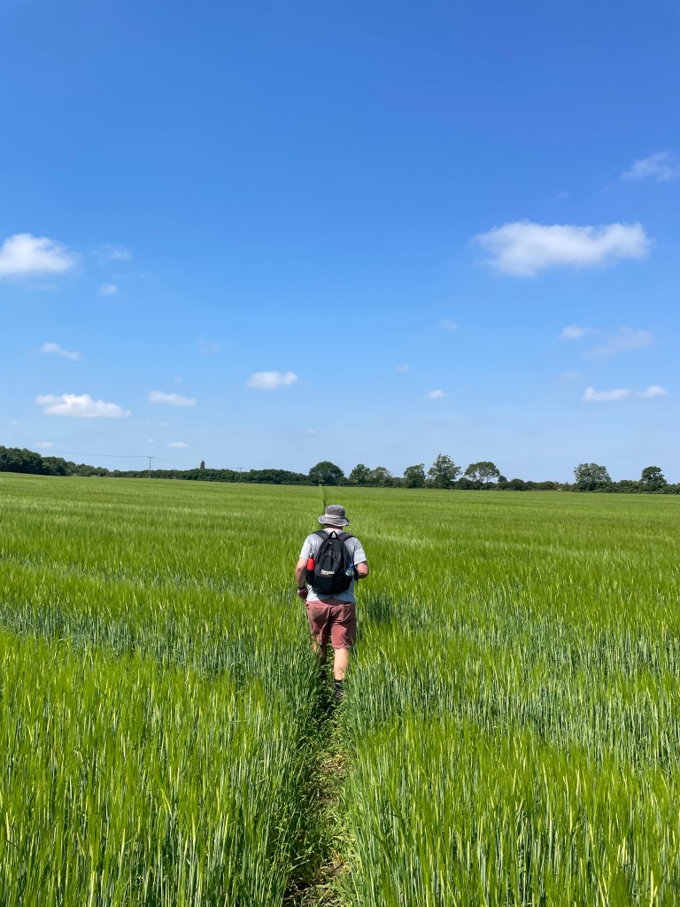
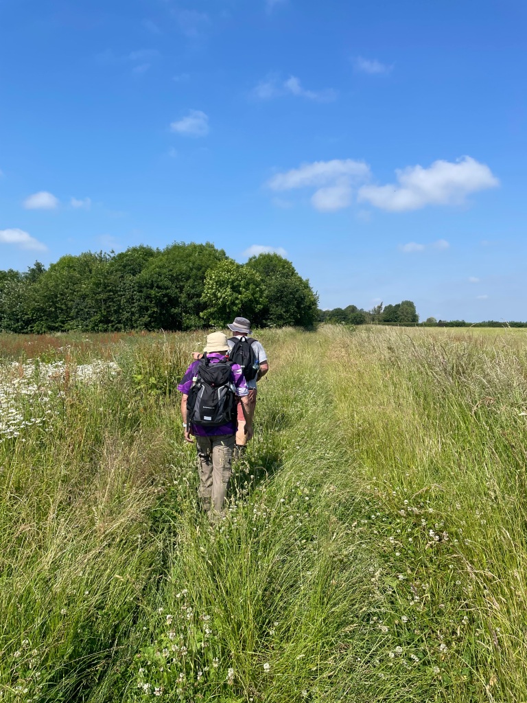
Our walk would take us across many fields, most of which had good pathways across.
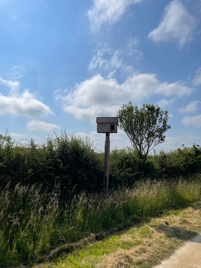
We passed by a large bird box- maybe for Owls?
Our conversation at this point was covering why the England football teams performance consistently disappoints, the lack of credible choice in our impending General Election and why our water pollution is out of control while water companies pay shareholders large dividends. All frustratingly annoying issues but good for a natter 😊. The miles slipped easily past.
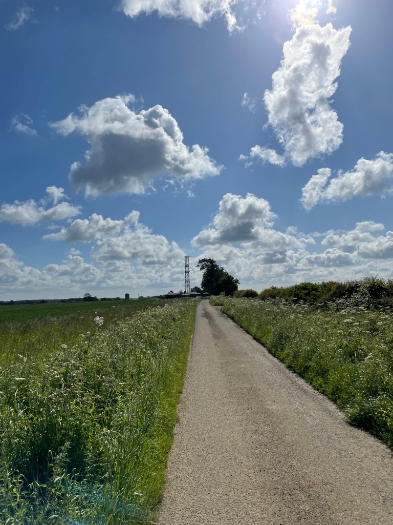
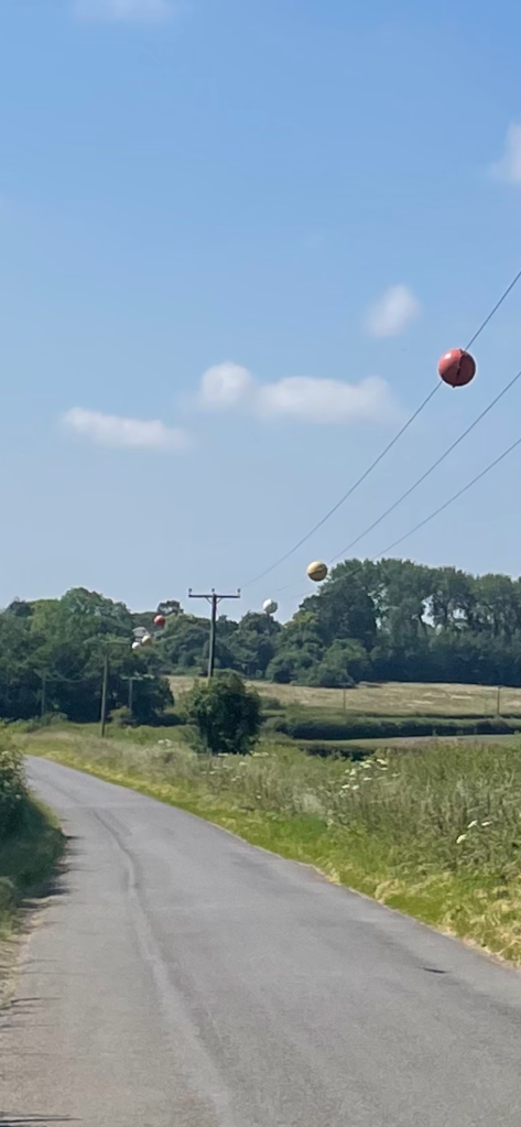
Walking along a road towards Stubton we wondered what the spheres attached to overhead power lines were for – turns out they are for the safety of low flying aircraft!
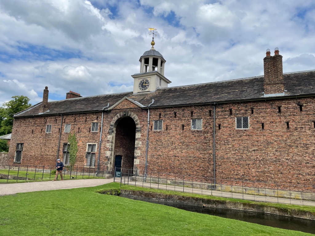
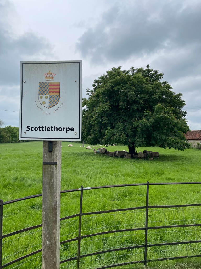
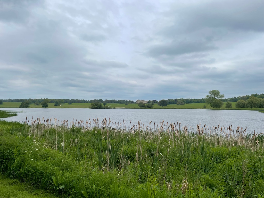
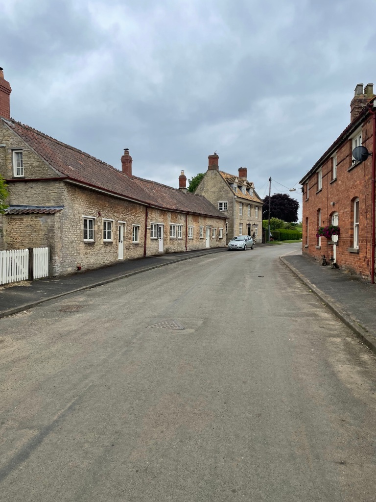
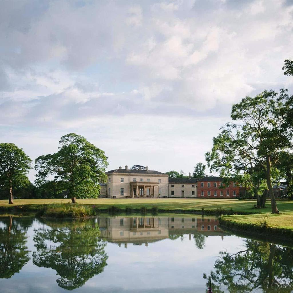
We passed Stubton Hall just before the village- a very impressive looking hotel, and then took a footpath across numerous fields towards Claypole.
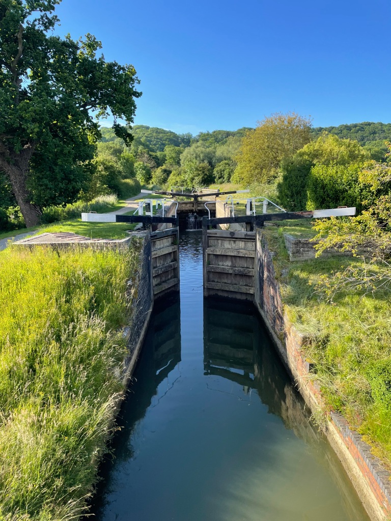
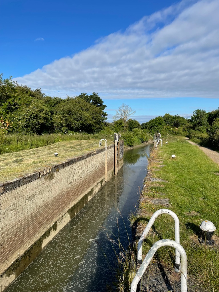
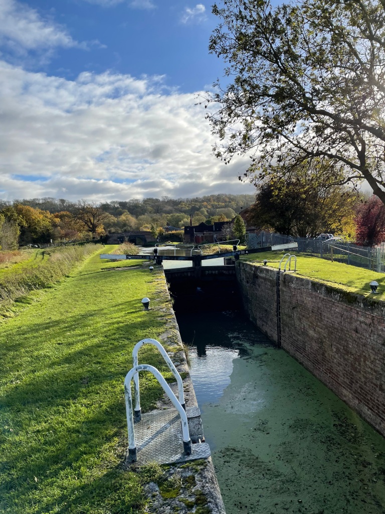
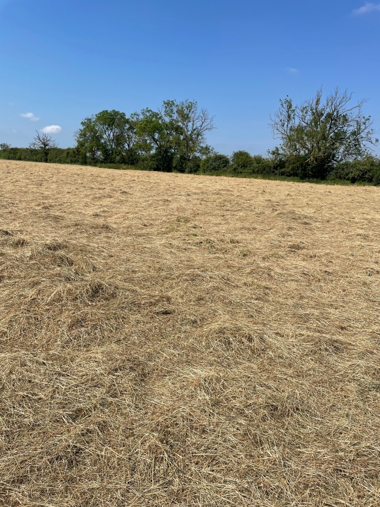
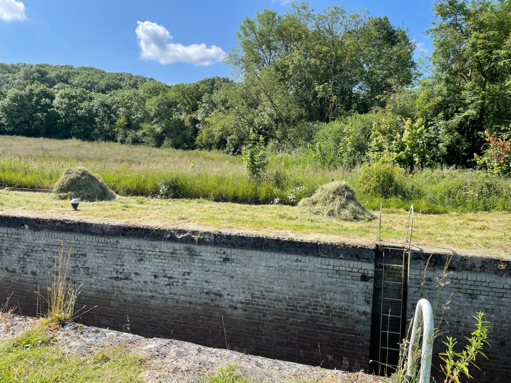
Some of the grass fields had just been mowed and it was surprisingly difficult walking through them. They reminded me of earlier in the week when I was volunteering by the Grantham Canal and making mini haystacks by lock 18.

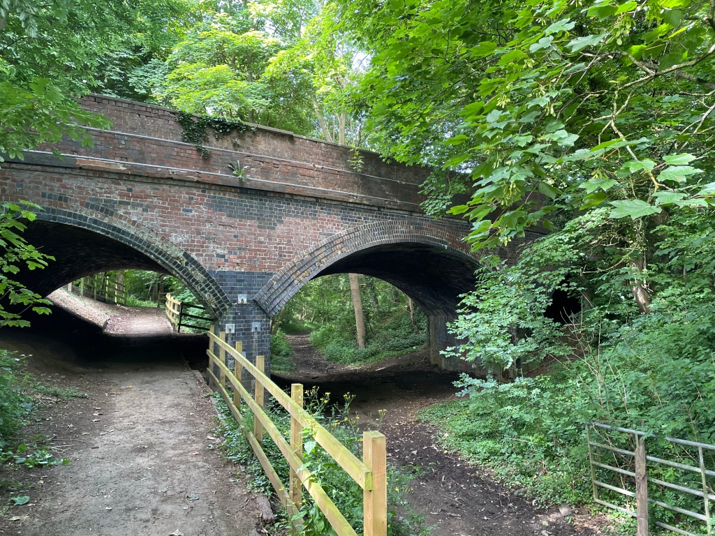
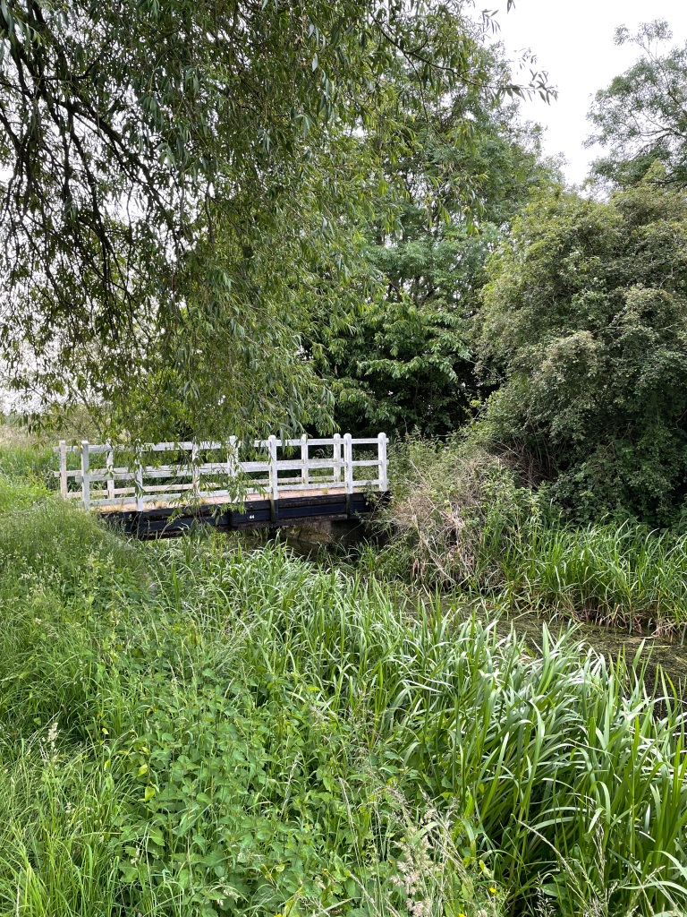
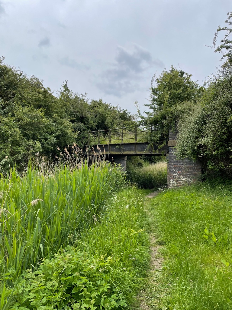
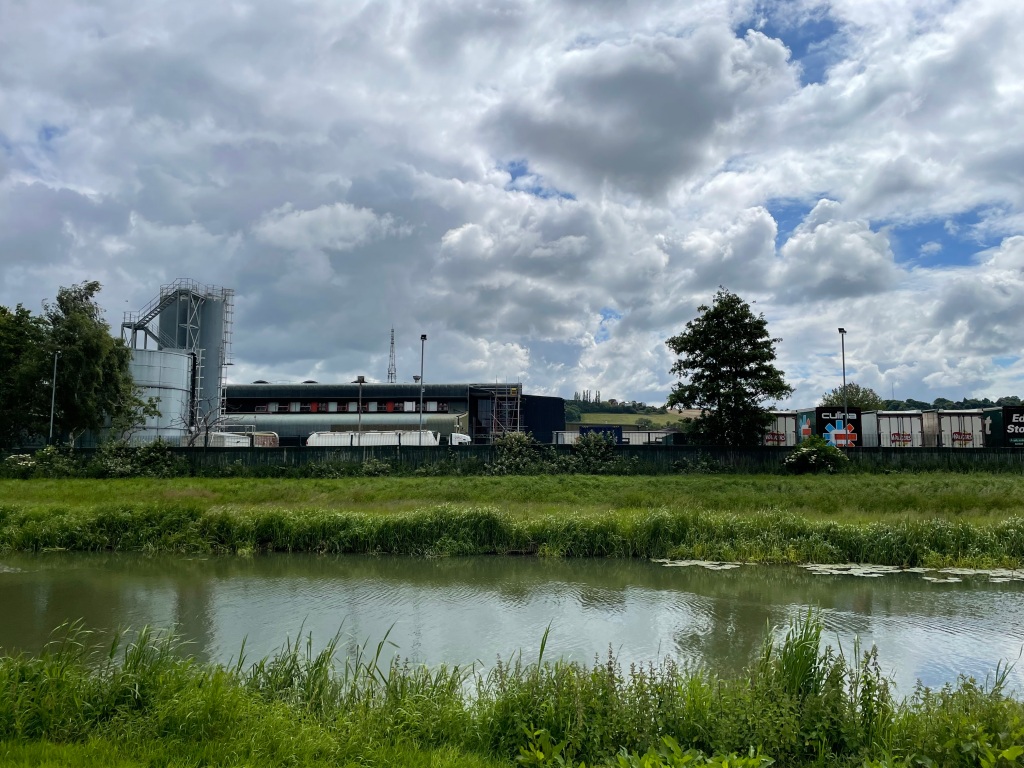
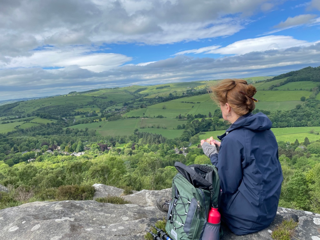
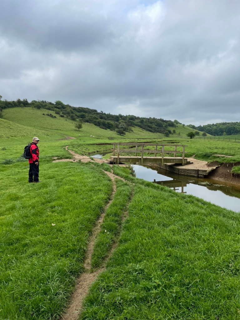
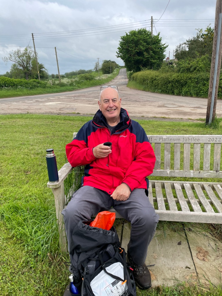
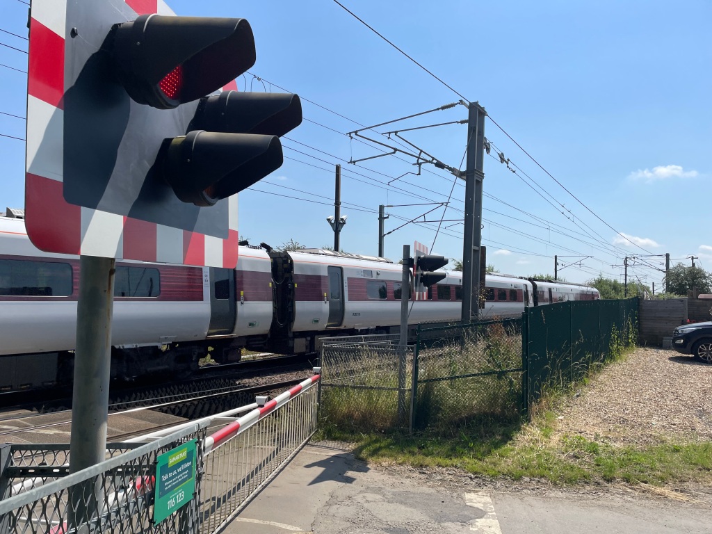
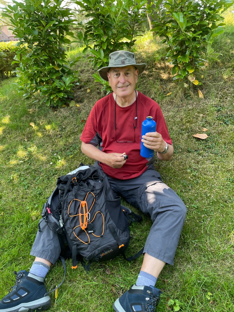
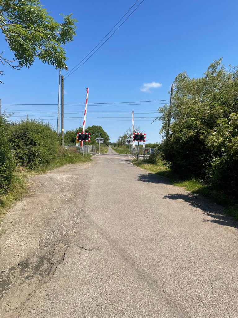
We were looking for somewhere to take a break as we were 6 miles into our walk and it was getting close to midday. Crossing the East Coast mainline railway line we found a nice sheltered spot to sit and take a breather. The expression ‘Only mad dogs and Englishmen go out in the midday sun’ sprung to mind.
After our break we took a circuitous route passing Claypole community park which looked a great facility, and crossed the railway line again at a different point to head on a bridleway towards Barnby in The Willows.
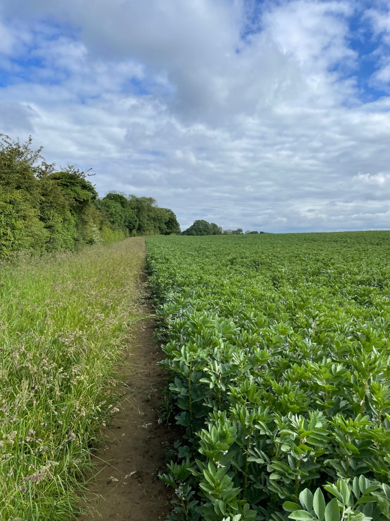
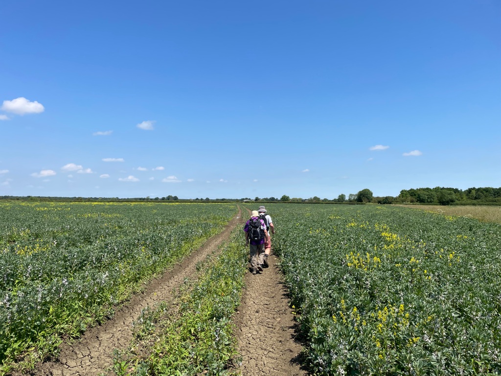
The bridleway disappeared after a while and we were then crossing bean fields. I think we were all loving the walk and in particular the beautiful weather – its been a long wait for it to arrive! A memory to store away for those long cold winter days ahead.
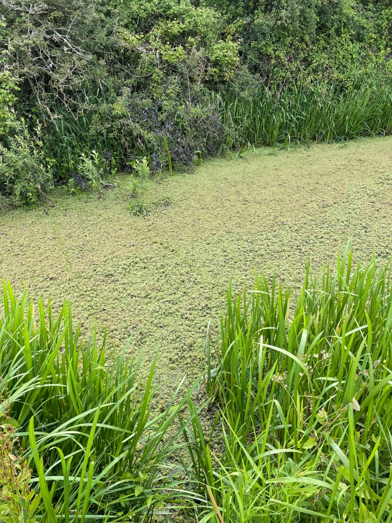
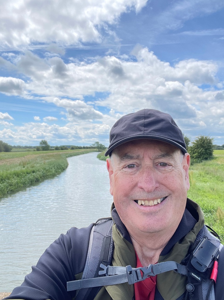
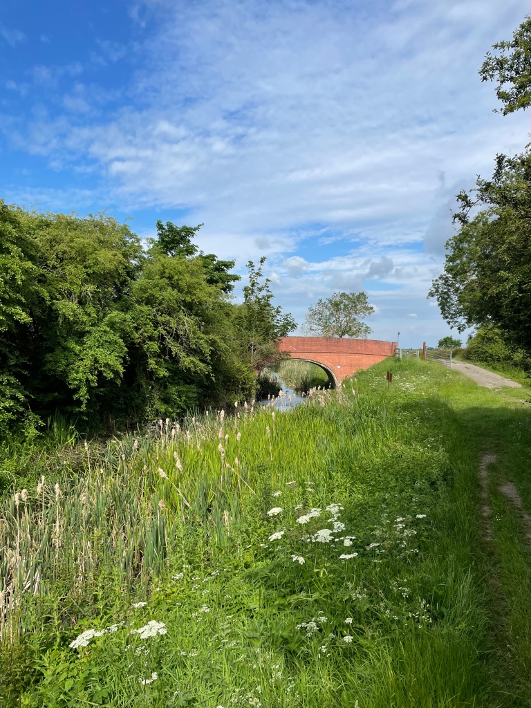
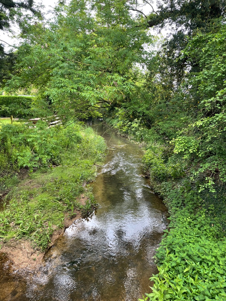
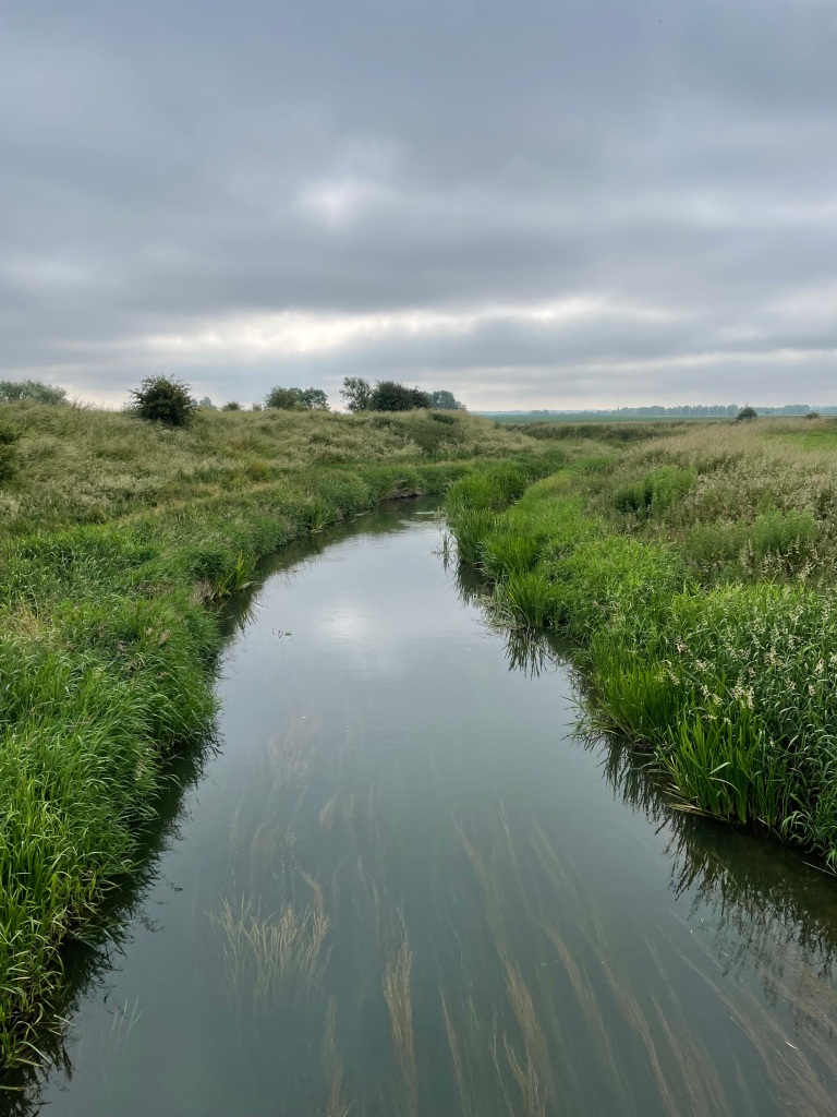
We arrived at the river Witham and followed that back to the bridge that led to the church yard that we had left from.
It had been a wonderful walk, in beautiful weather, with great company – what more could you want?
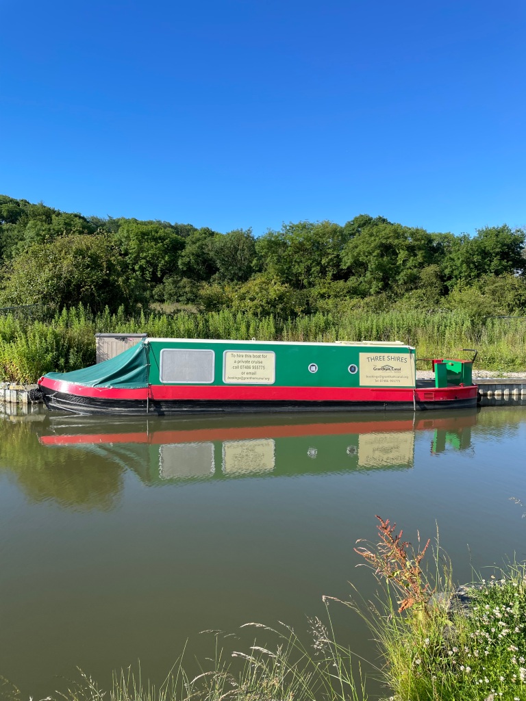
I am really looking forward to the 26 mile sponsored walk that I am taking part in this Saturday to raise funds to help restore The Grantham Canal. It will be a challenge but I suspect it will be immensely enjoyable. Look out for that blog!
Happy Walking 😊🚶♂️