Hello and welcome back to my blog 😊.
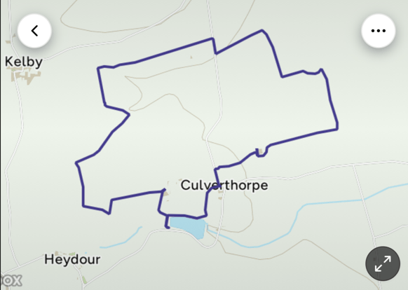
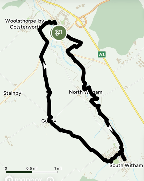
Today myself and Angela enjoyed a 9- mile circular walk beginning in Colsterworth and passing through North Witham, South Witham and Gunby then back to Colsterworth.
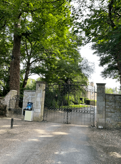
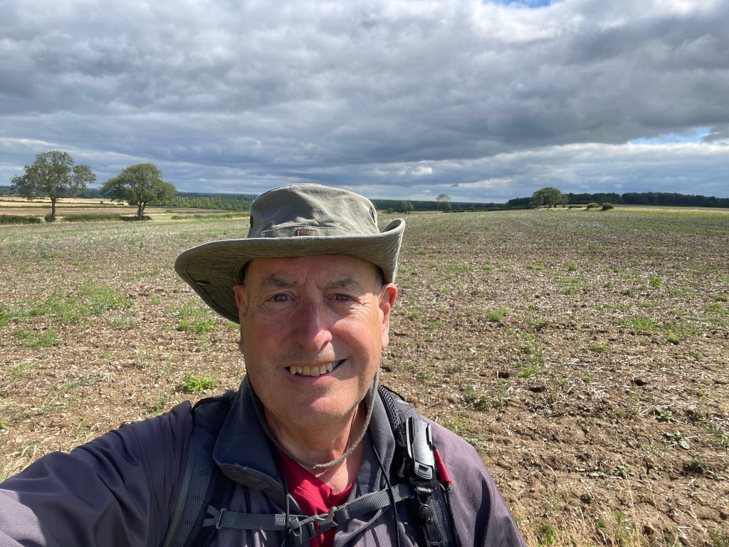
After finding a spot to park the car and opening the boot, I was dismayed to find that I had left my walking boots at home – good job I was wearing my trainers! (not ideal, but ok for this trip).
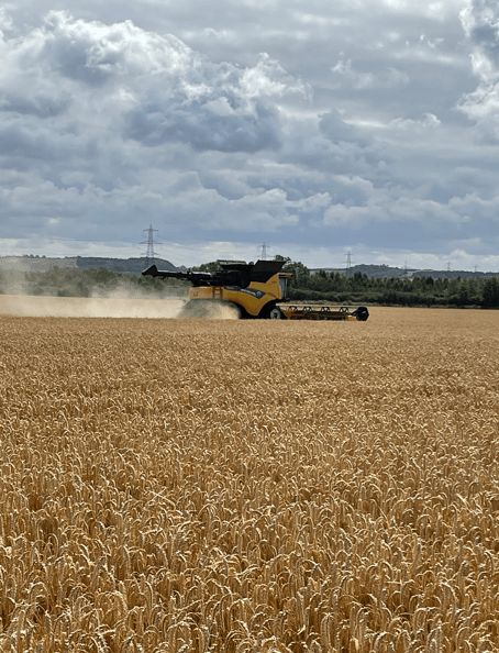
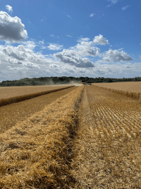
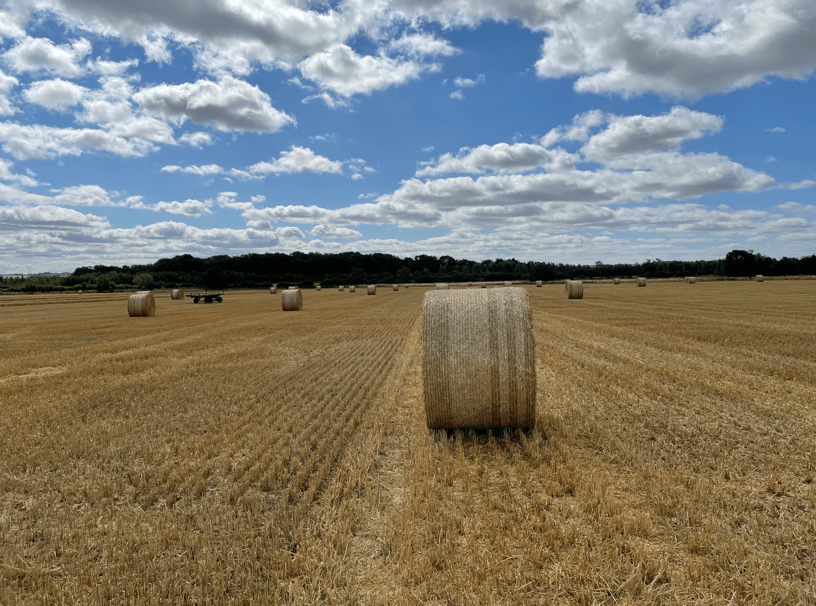
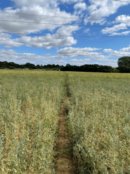
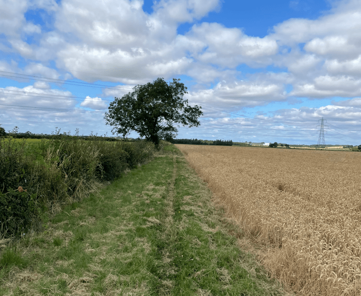
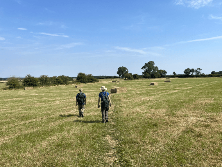
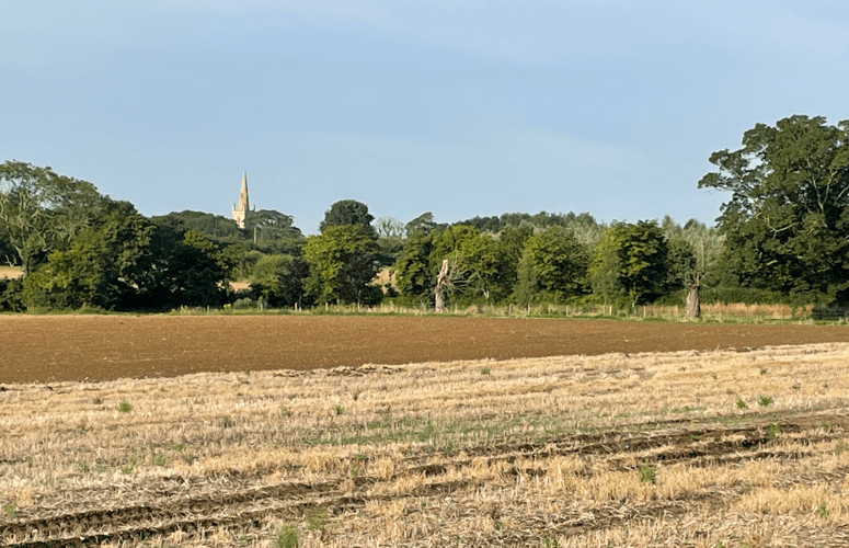
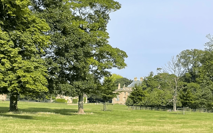
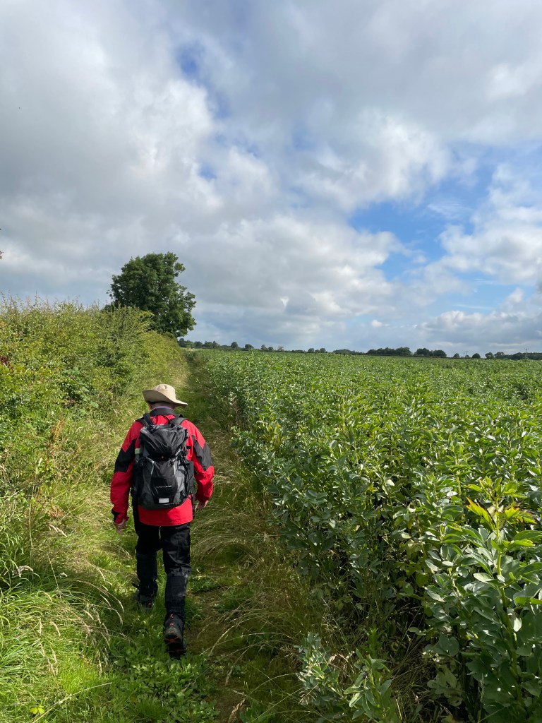
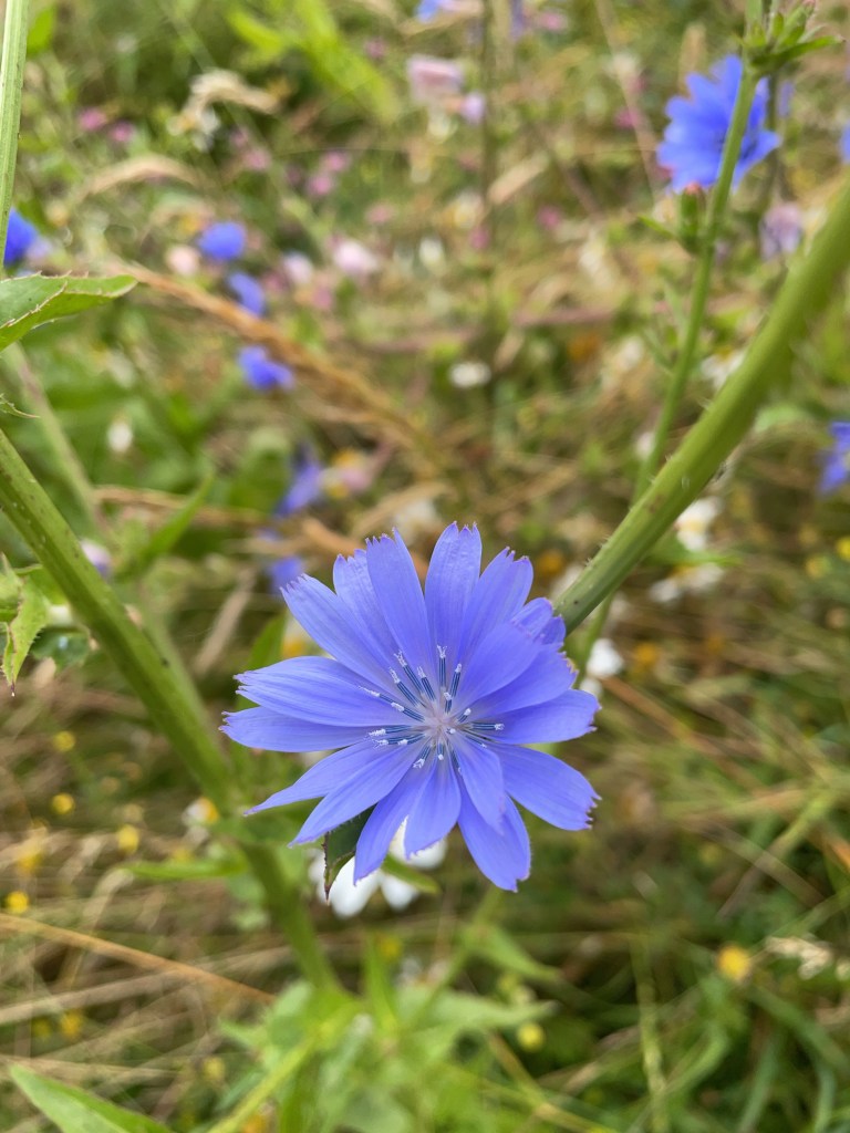
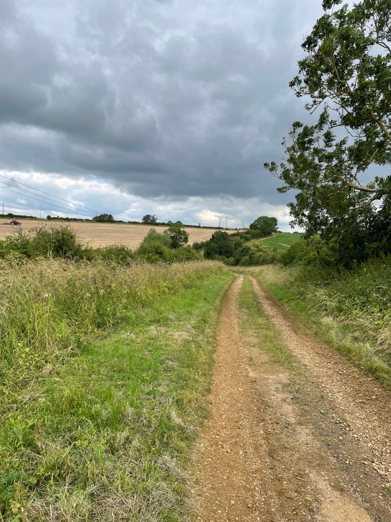
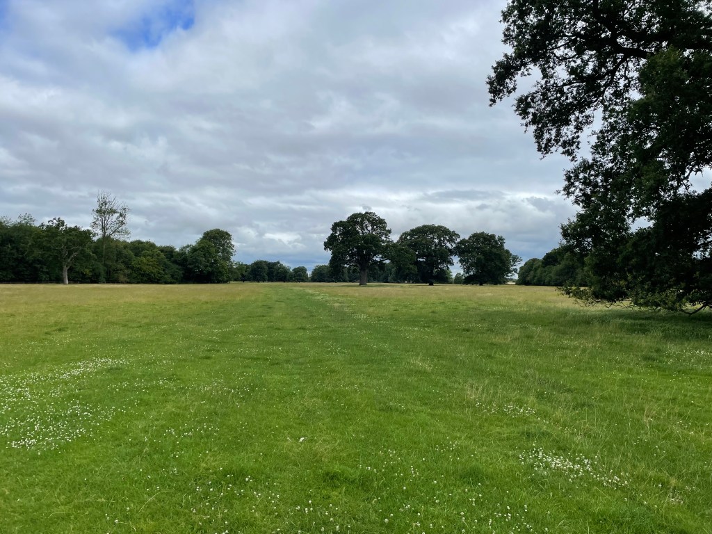
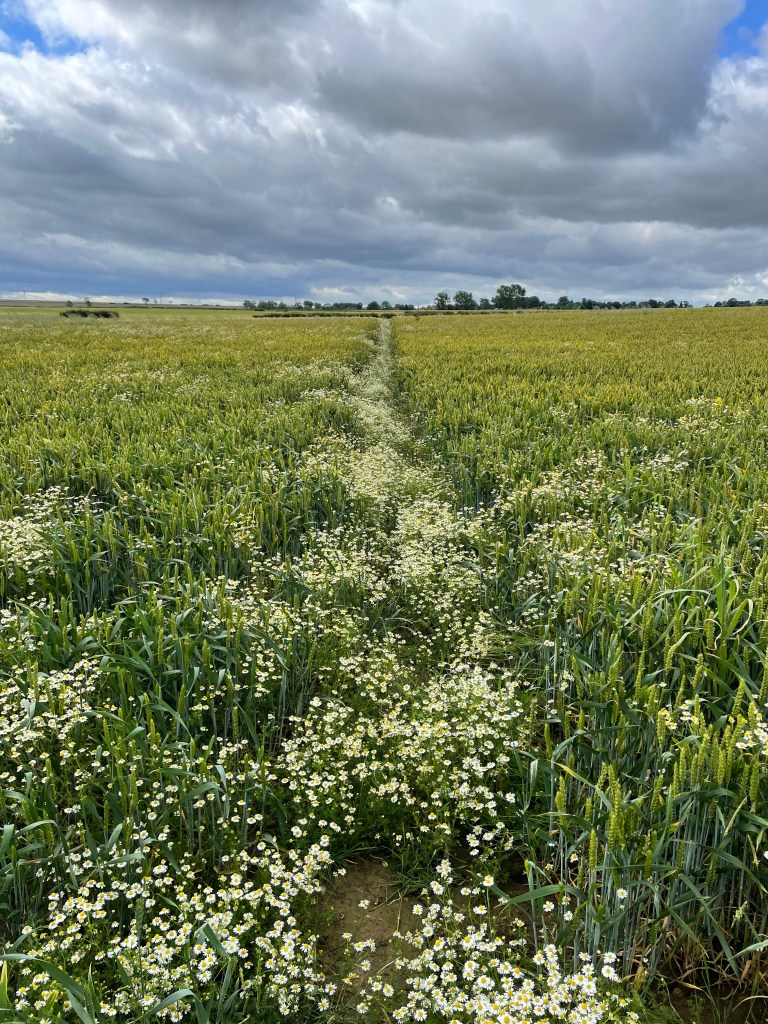
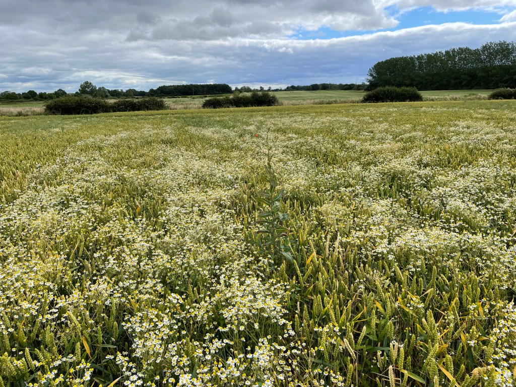
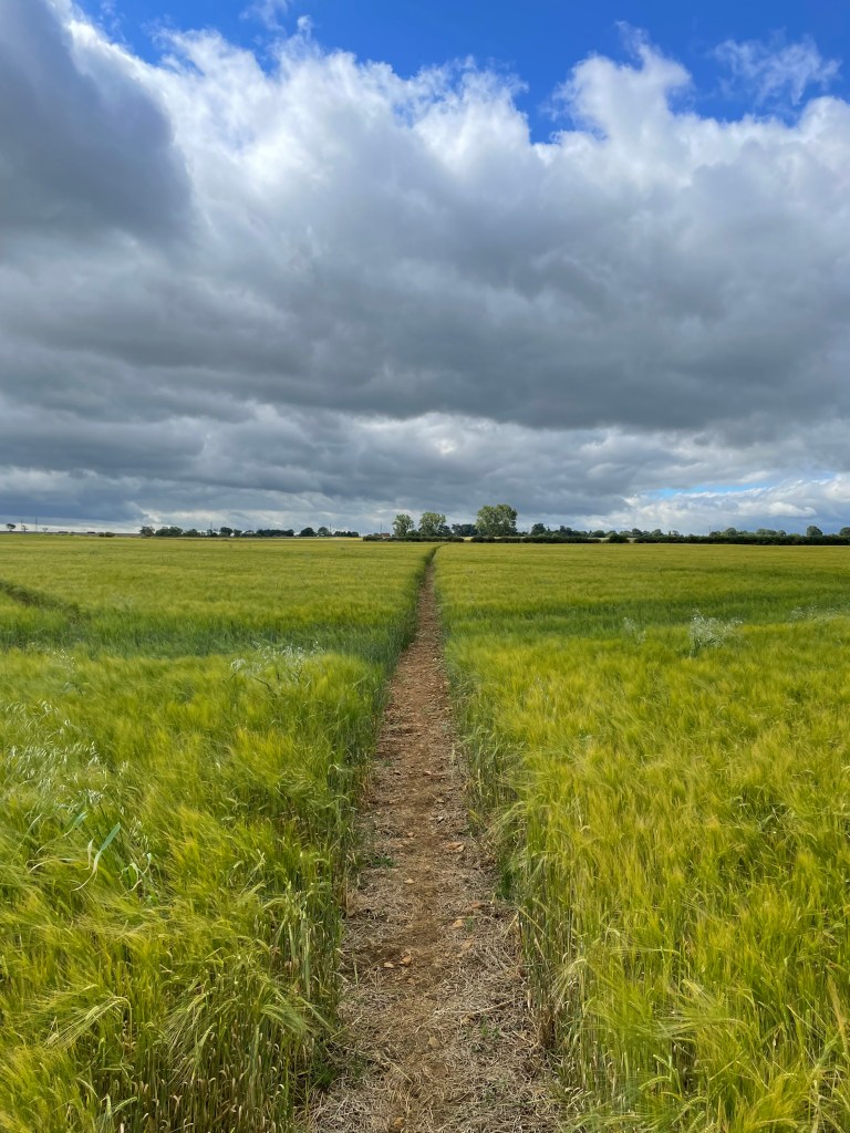
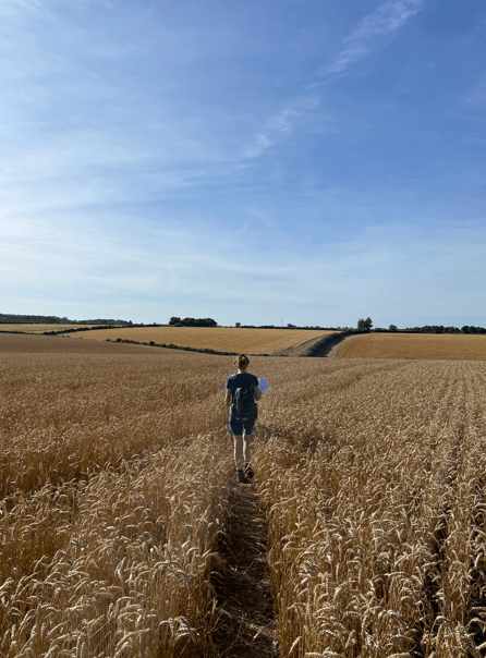
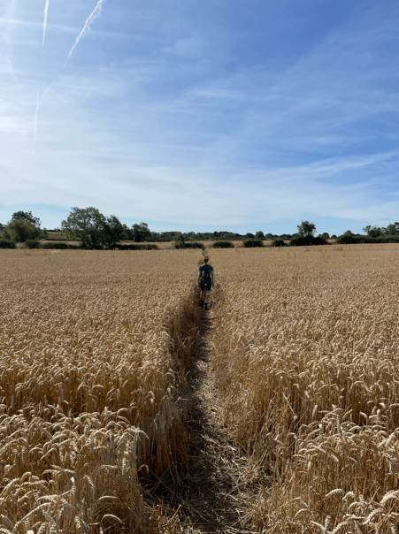
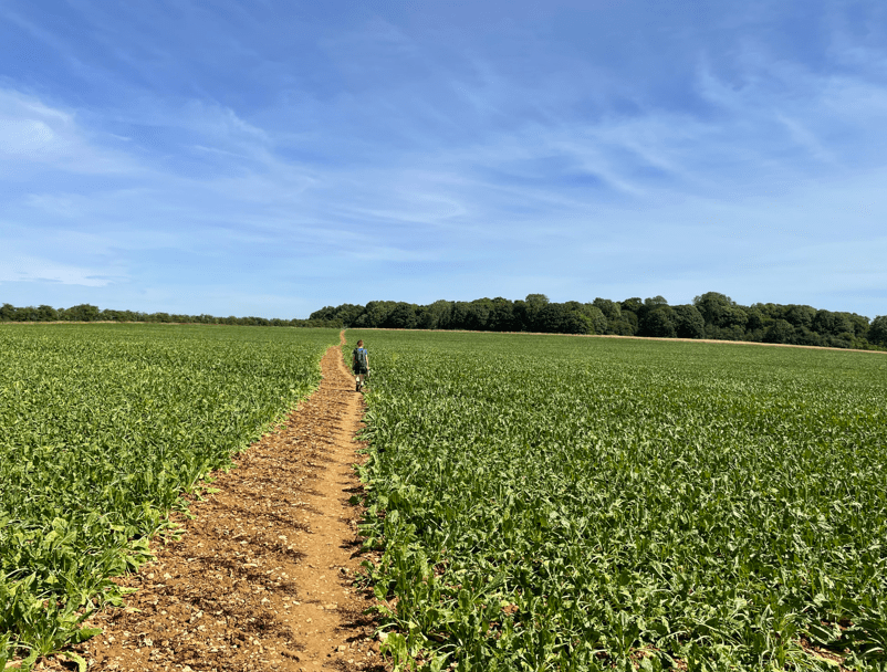
It was quite a hot summers morning as we set off across crop laden fields towards North Witham.
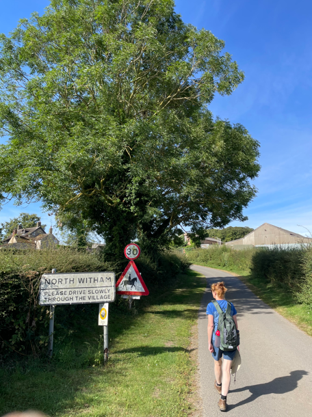
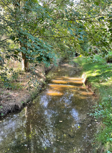
We passed through a ford which only had a trickle running through it today – I expect its different on a rainy day. Angela took the bridge to cross the ford and we were soon heading into North Witham.

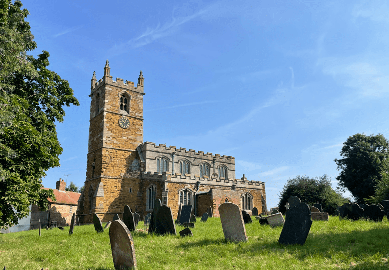
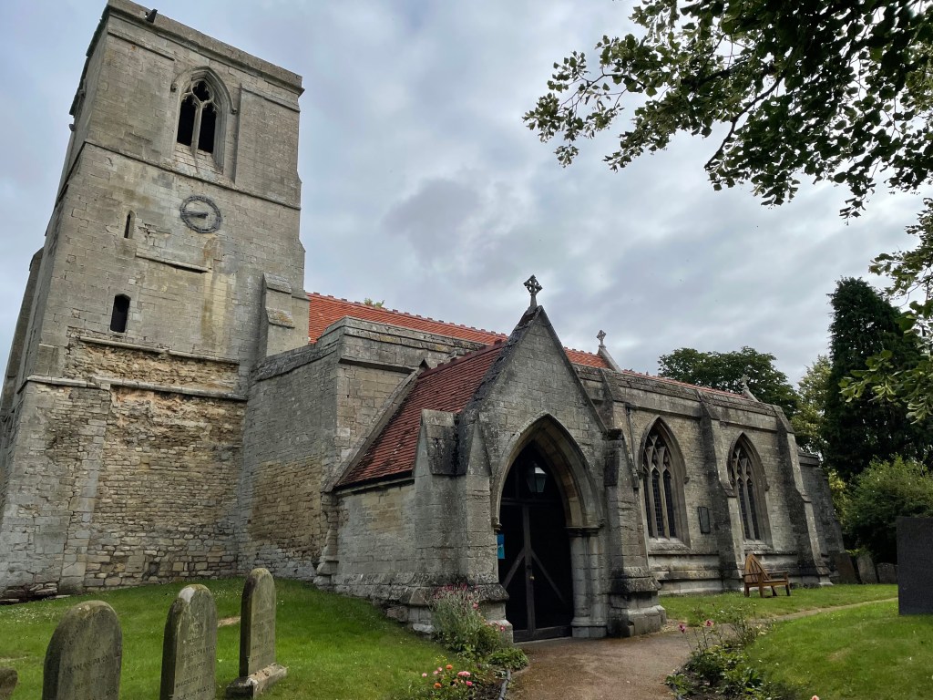
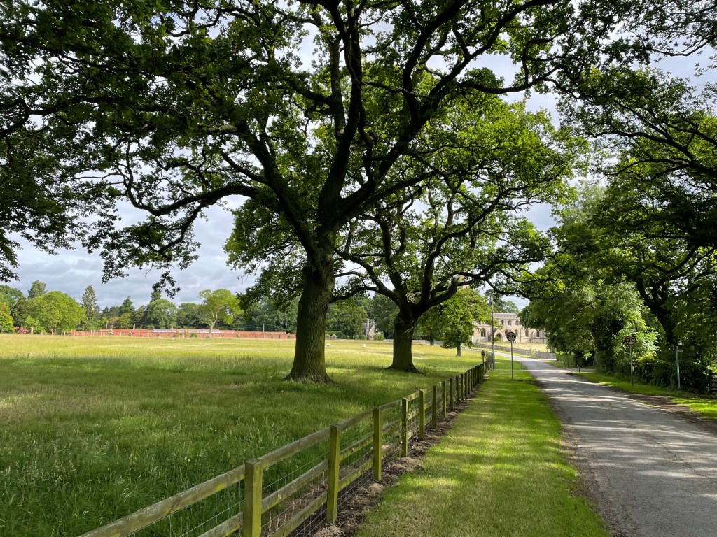
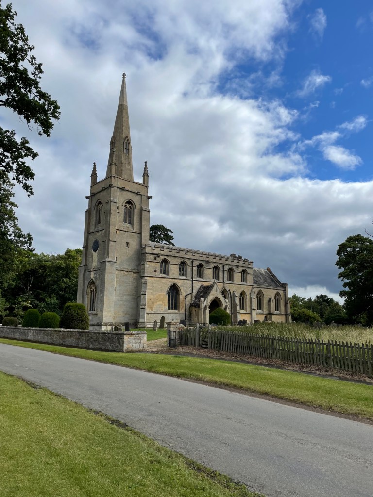
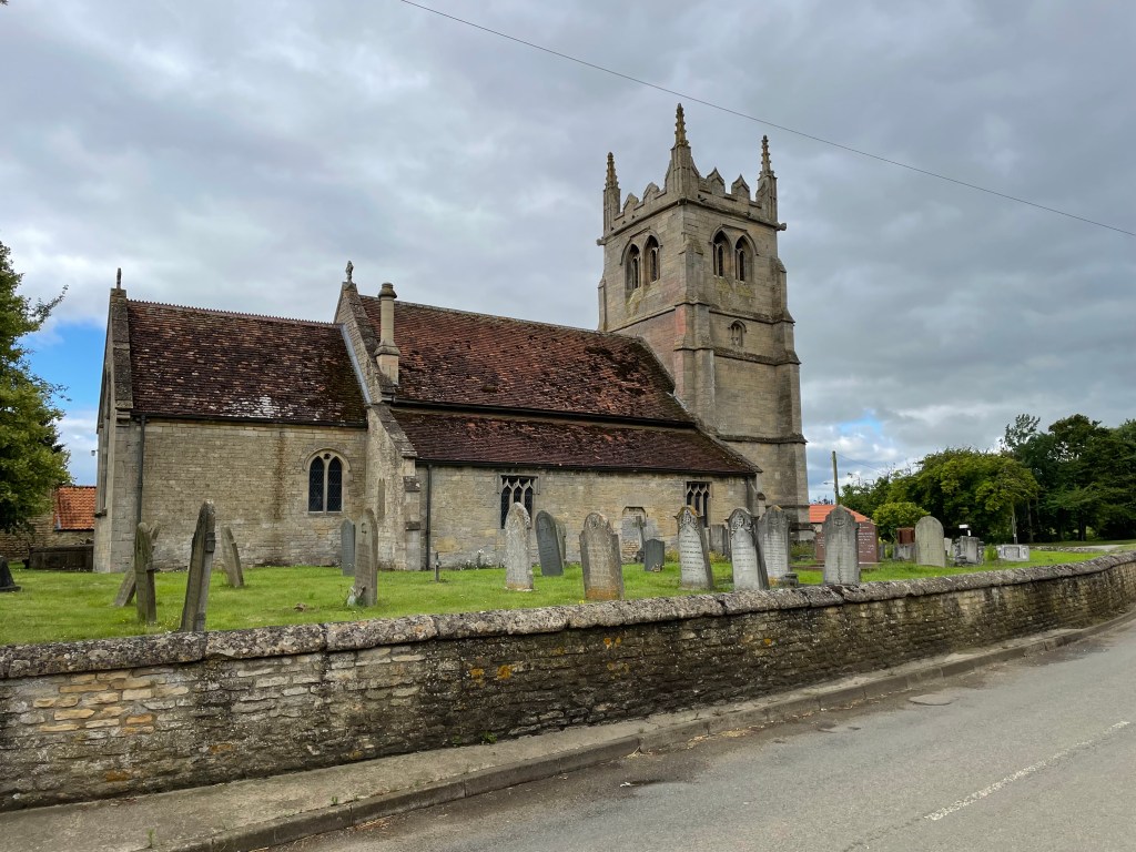
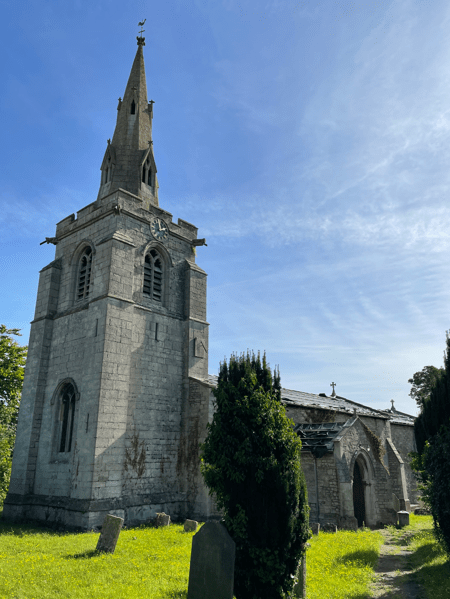
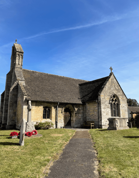
We passed through the grounds of the church of St Mary – we noticed the roof was in poor shape. Apparently, in 2019 the lead was stolen and the roof damaged. The interior is now vulnerable to the elements. No attempt or plans exist to repair the roof which is a great shame.
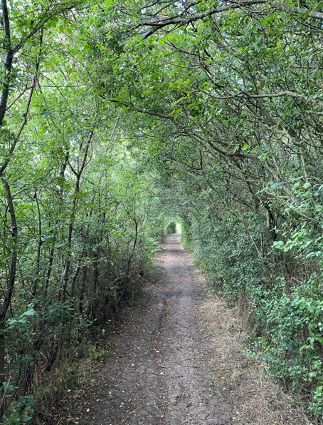
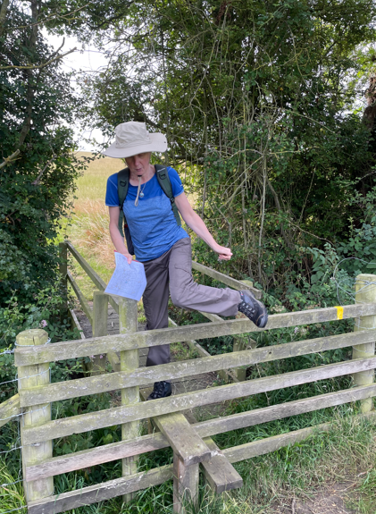
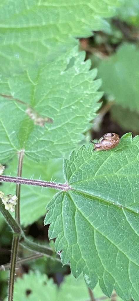
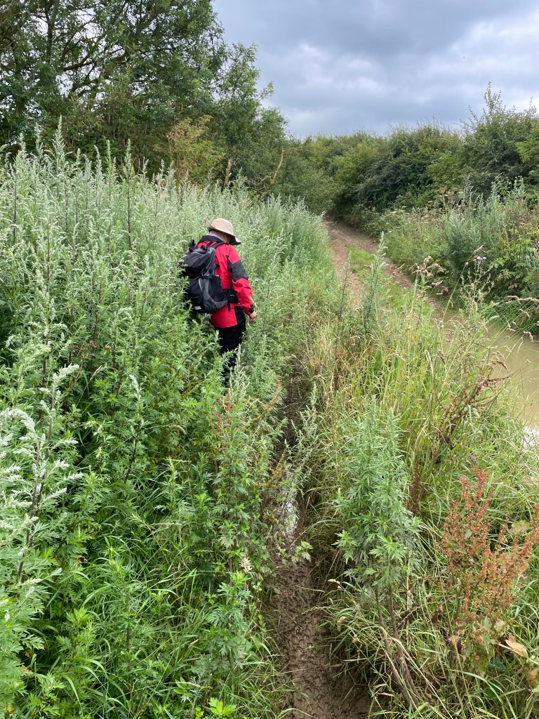
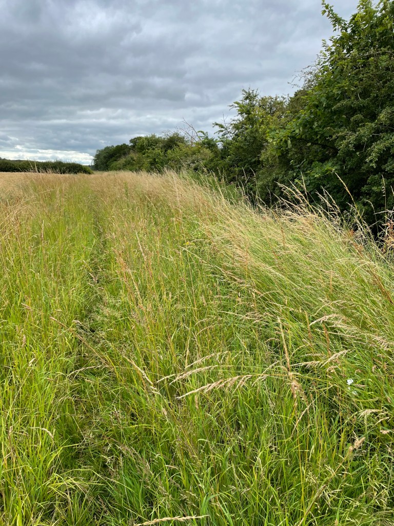
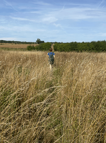
Leaving the church cemetery the path took us across the river Witham (whose source is close to South Witham). We were dodging nettles and brambles for most of the walk today.
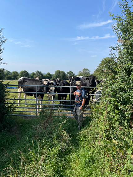
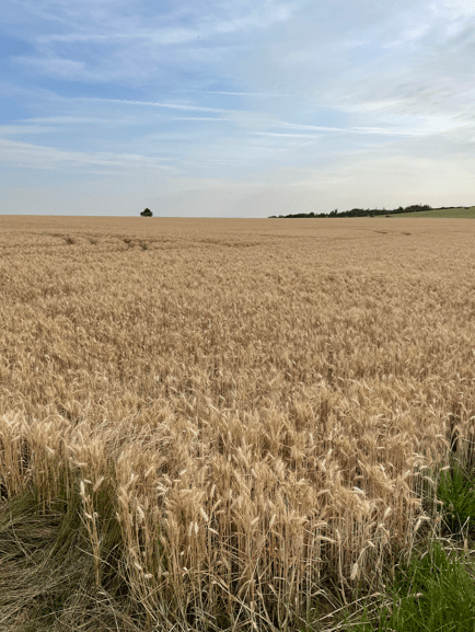
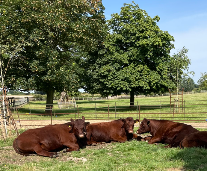
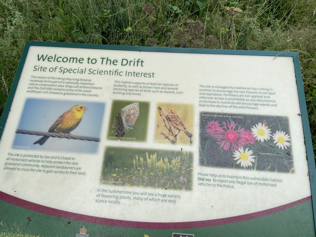
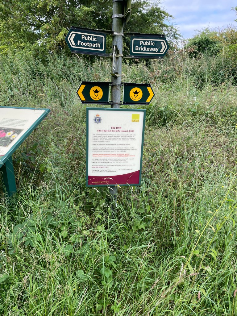
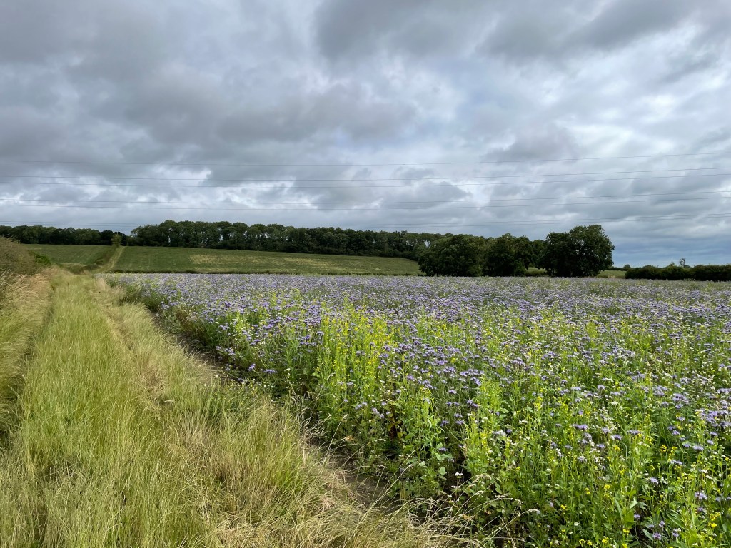
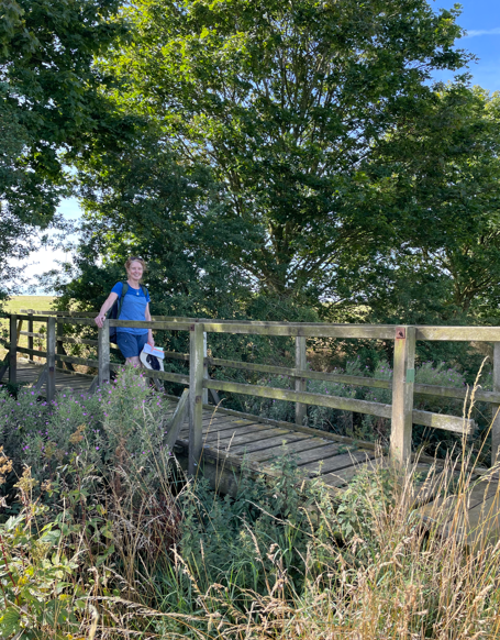
We crossed numerous good wooden bridges across dykes and more fields of wheat. Two of fields that we crossed had cattle in, but they were not bothered by our presence.
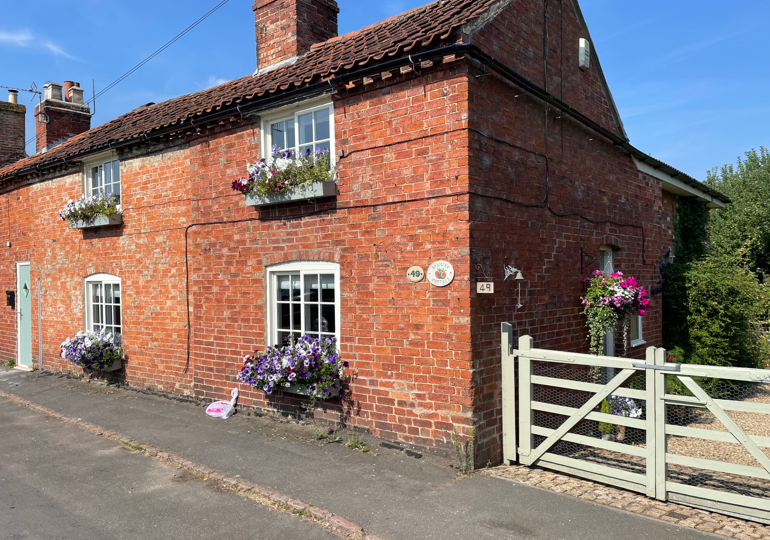
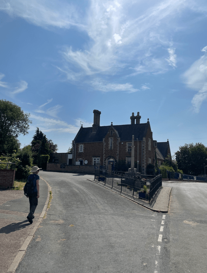
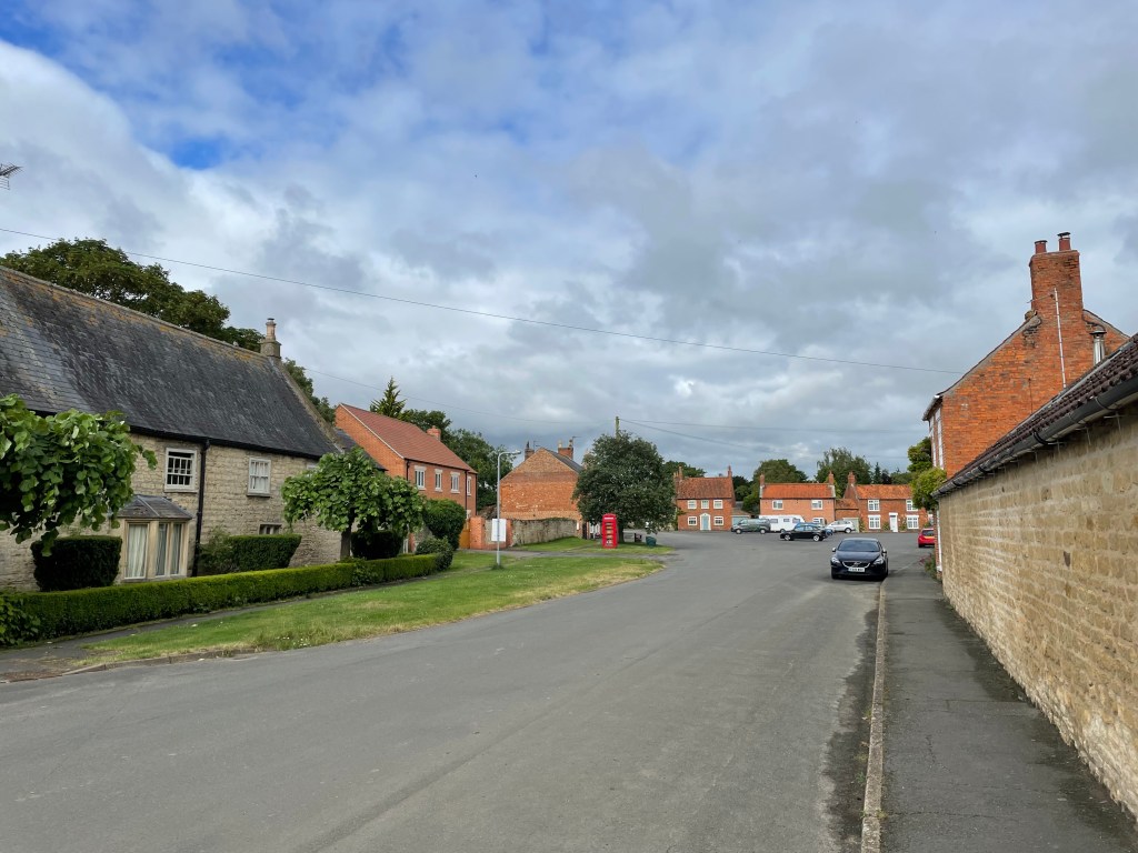
Arriving into South Witham, we took a stroll into the pretty village. The church – St John the Baptist, sits opposite the pub.
On our route into South Witham we had passed over a site that was once a Preceptory of Knights Templars. There was a notice board with info about this by the church but it was in poor condition. https://en.wikipedia.org/wiki/Witham_Preceptory
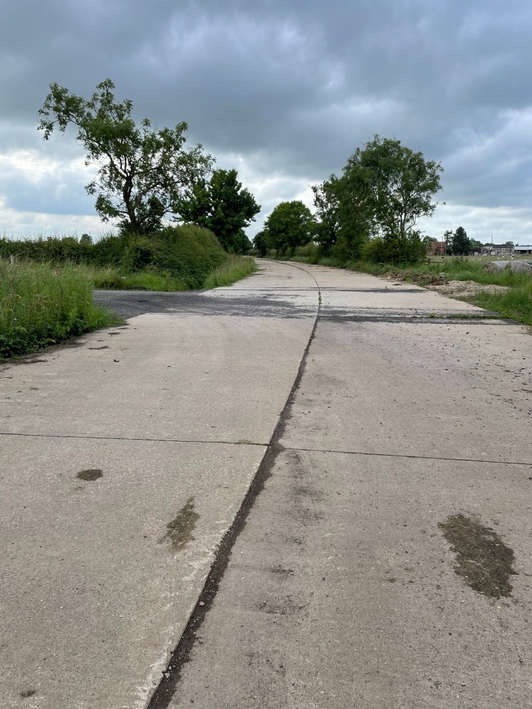
Moving on we had a chat with a helpful woman who gave us instructions on how to get out of the village and then met a dog walker who we also had a nice chat with.
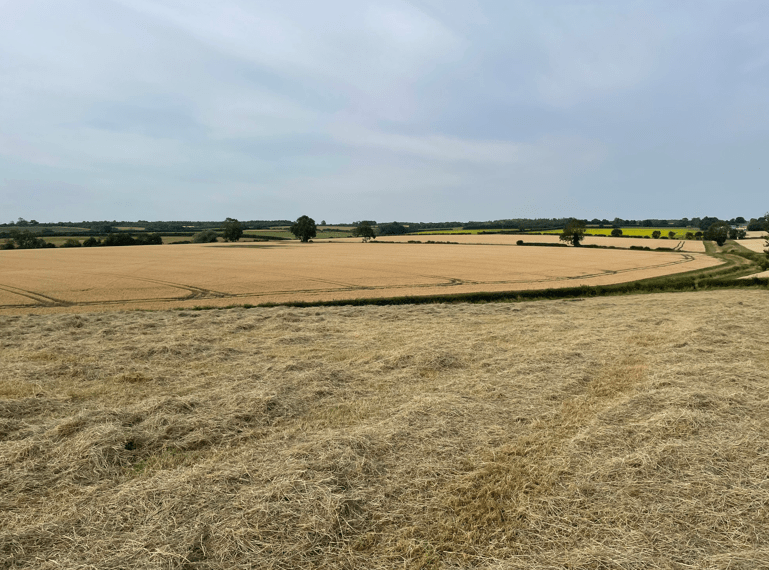
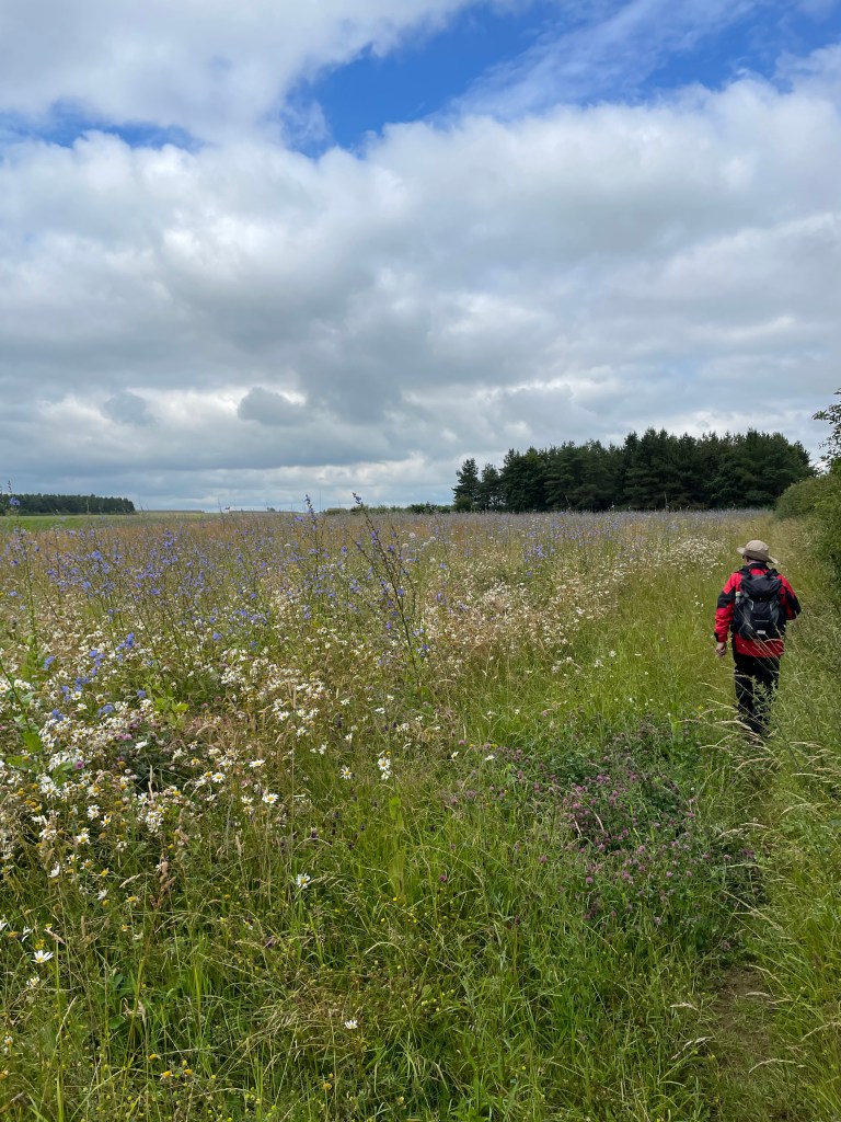
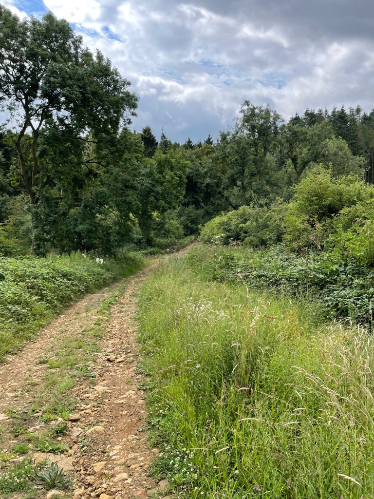
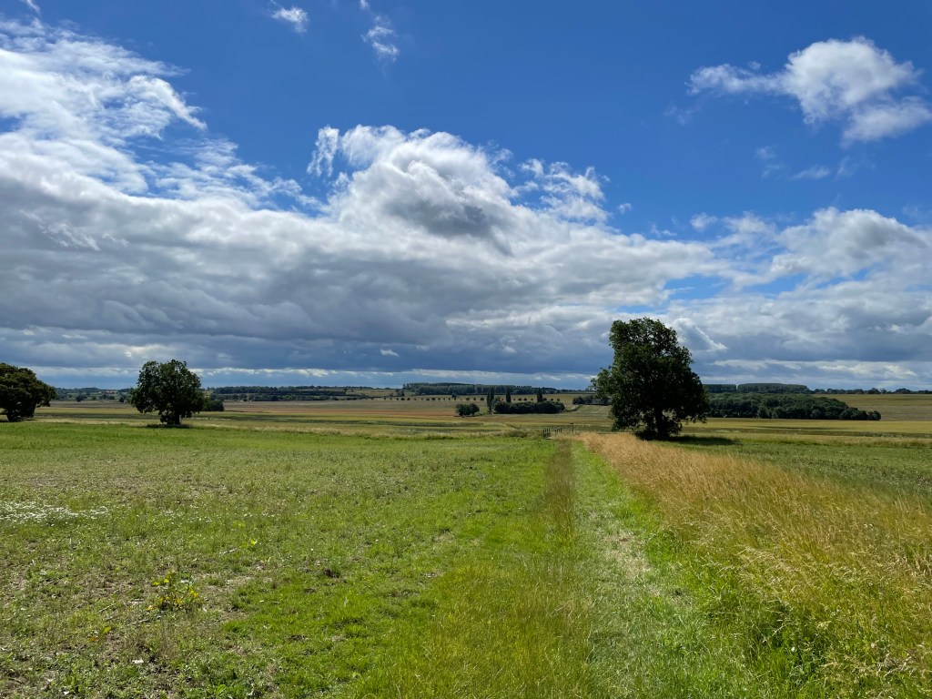
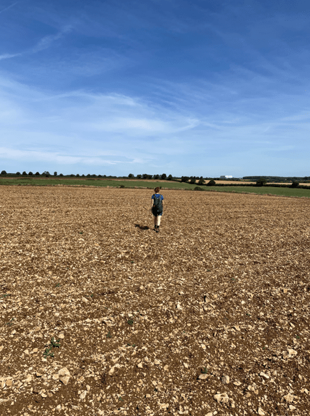
We headed for the village of Gunby. The temperature was rising so we paused numerous times to take on water.
Gunby was a tiny village and we were soon headed out of it towards Colsterworth.
Arriving into Colsterworth I stopped at a shop and grabbed a white chocolate Magnum – it was just the ticket on such a day 😊.
Happy Walking! 😊🚶♂️