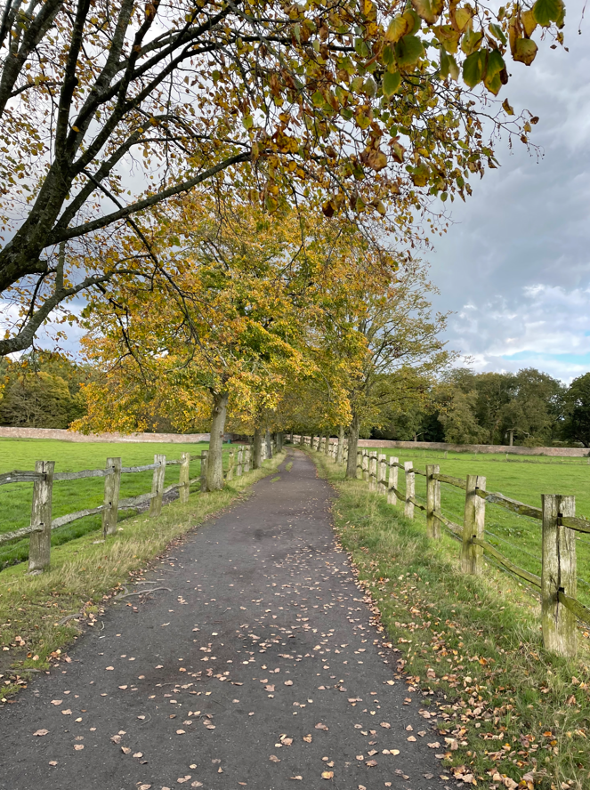
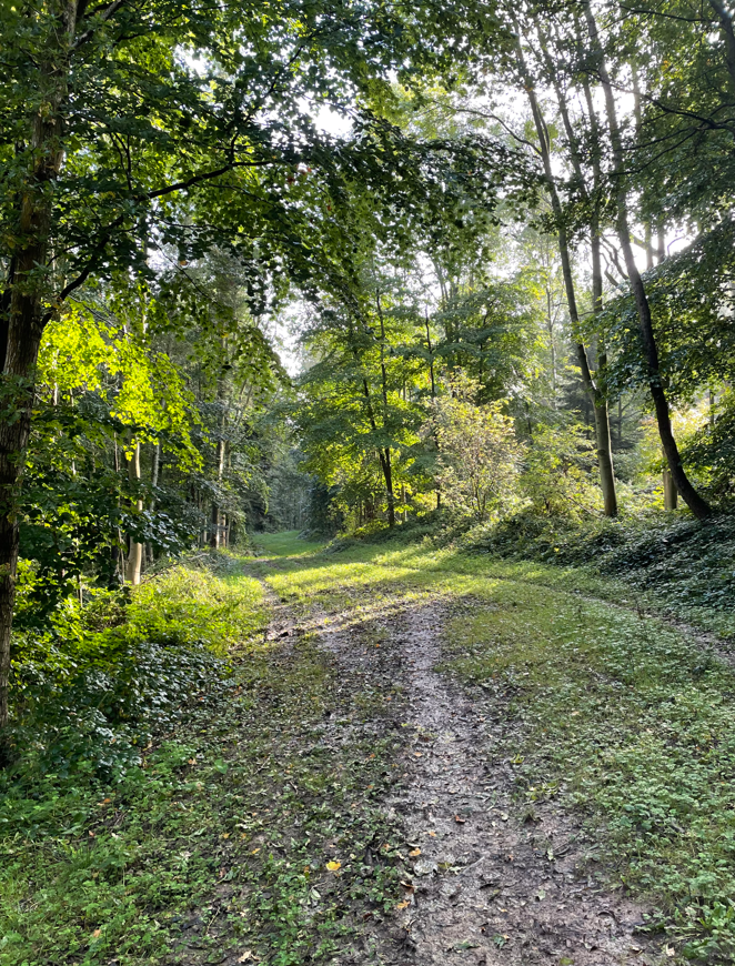
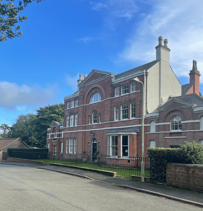
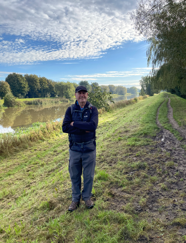
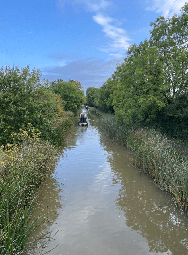
Today myself and Angela enjoyed a 7-mile walk along the Bridgewater Canal. It was a lovely sunny day and chillier than recent days. We parked in Dunham Park car park and headed out on our sunny walk. We had a spring in our step.
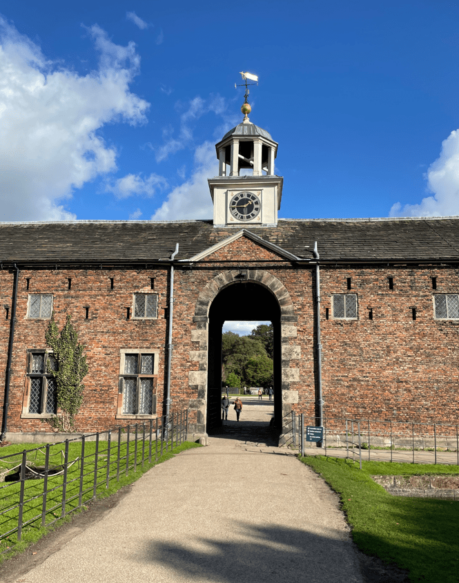
There were quite a few people about in the park taking advantage of a nice day. Passing the stable block and old mill building we headed towards the Bridgewater canal.
Stable block
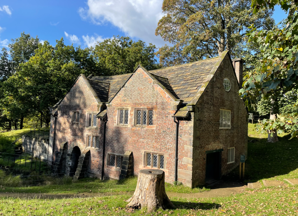
We noted that the water wheel for the mill was turning and that there were tours around the mill in the afternoon – we will do that sometime.
Old Mill
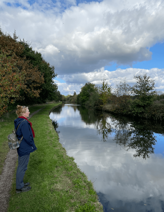
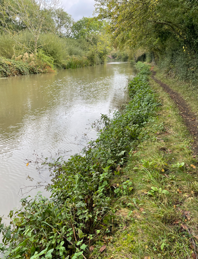
Arriving on to the towpath the sun went in – I wondered whether it was anything to do with Angela putting her sunglasses on 😊.
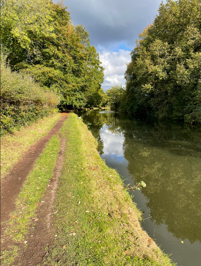
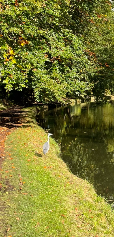
The towpath was quiet and as we walked along we spotted a heron sat there.
Surprisingly, it let us get quite close before flying off. It was great to see it.
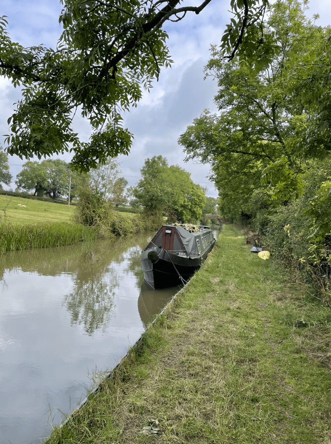
Continuing along we passed a few narrowboats that were moored up and a tent where someone was living (and has been for a while). I can think of worse places to pitch a tent.
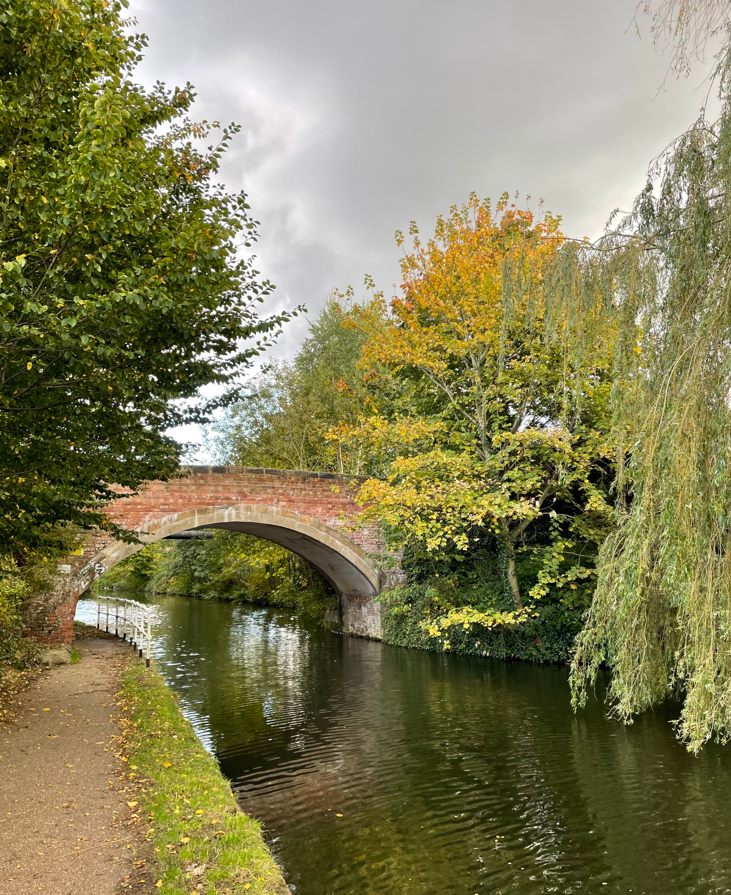
We passed over and under a number of bridges some of which I admired.
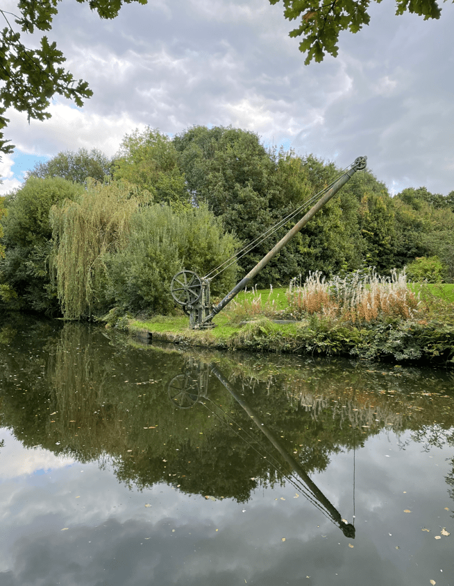
As we neared Oldfield Brow we passed a small Marina and then, further on, a nice piece of old engineering – a crane for lifting stop planks into the canal.
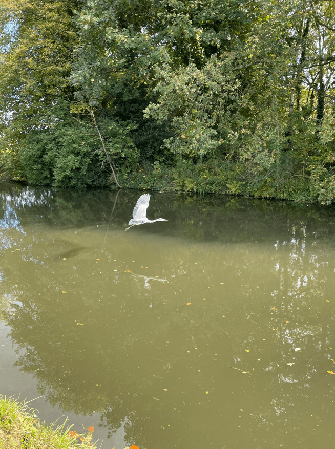
At this point we turned around and walked back the way we had come. We met Mr Heron again who continued to delight us with his flights along the canal. The sky was getting blacker as we walked along the canal – thankfully it didn’t rain. We left the towpath and entered Dunham Park along a tree lined avenue.
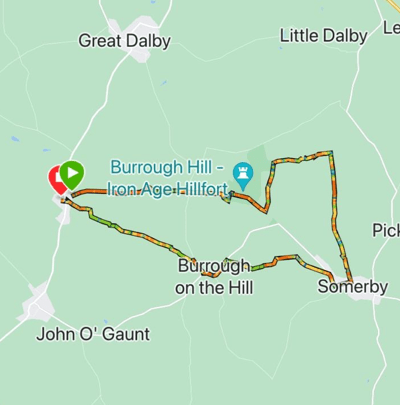
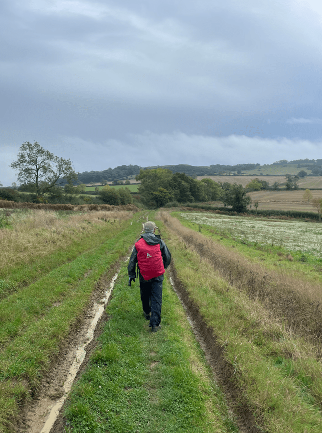
Today myself and Mick enjoyed a 8.7-mile circular walk from Thorpe Satchville following the Leicestershire Round path across Burrough Hill to Somerby. There, we left the Leicestershire Round path and walked across fields to Burrough-on-the-Hill and onwards back to Thorpe Satchville.
Leaving Thorpe Satchville the heavens opened up and the rain poured down. We’re not off to an auspicious start! Mick said that he had checked the rain radar and it should be fairly short – indeed it was. The next showers were due just after midday but we would be finished the walk by then.
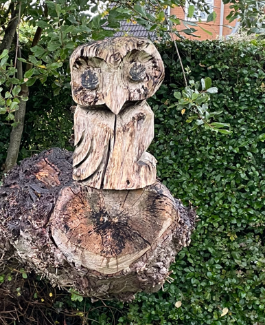
We passed a nice Owl carving in a tree stump.
Blue sky as the rain clouds pass overhead
The ground was muddy and wet so I had glad I had put on my gaiters. As it turned out, I should have brought my walking poles because the ground was treacherous in hilly places.
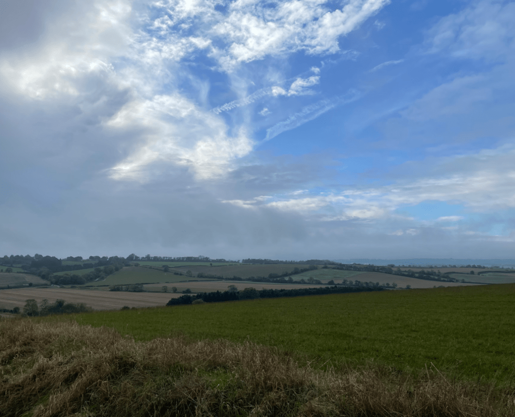
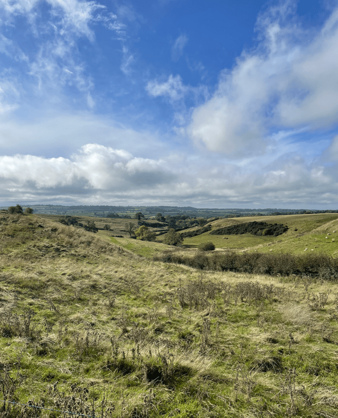
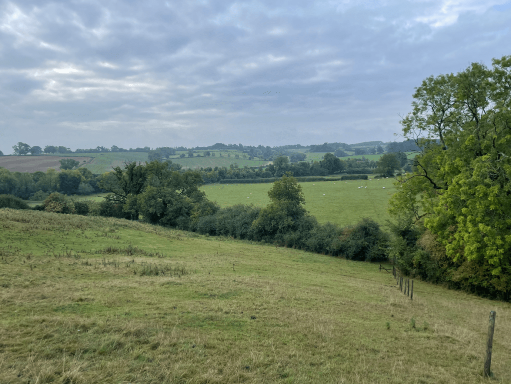
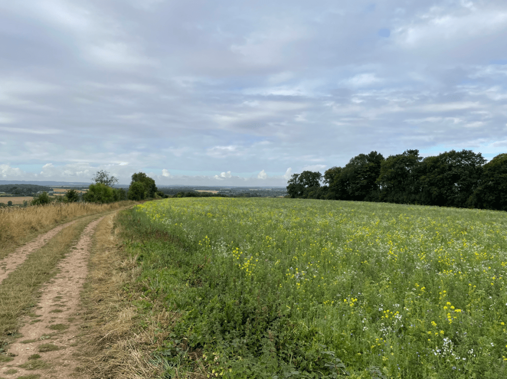
We were on our way to Burrough Hill, at 690 ft, one of the highest hills in East Leicestershire. As we climbed upwards we had nice views across the countryside.
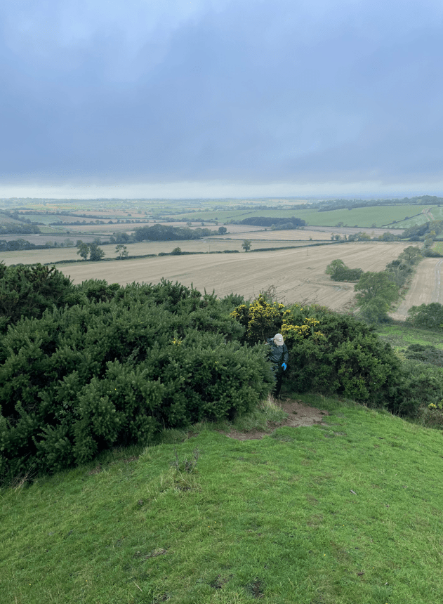
Mick emerging from the gorse after a steep and slippery climb.
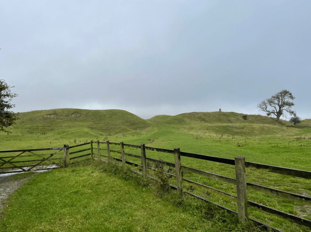
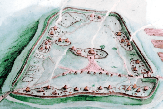
On top of Burrough Hill is an iron age hill fort – the ramparts are clearly visible. It was a pity that the day was cloudy because there would be great views from here on a clear day.
Ramparts of Burrough Hill fortWhat the fort might have looked like.Toposcope near summit of Burrough Hill
Leaving the hill fort we headed downhill towards the Dalby Hills path which took us through some woods.
Mick leaving Burrough Hill
After squelching along the path we spotted a bench and halted for a cuppa and a bite to eat. We had seen a Roe Deer, lots of rabbits and red kites overhead.
Refreshed we left the woods and headed slightly uphill again. There was 1,200 ft of ascent on todays undulating walk.
Heading towards Somerby
Soon we arrived in Somerby and walked through the village. We spotted a parking spot where we could leave a car when we do our next leg of the Leicestershire Round – Somerby to Belton-in Rutland.
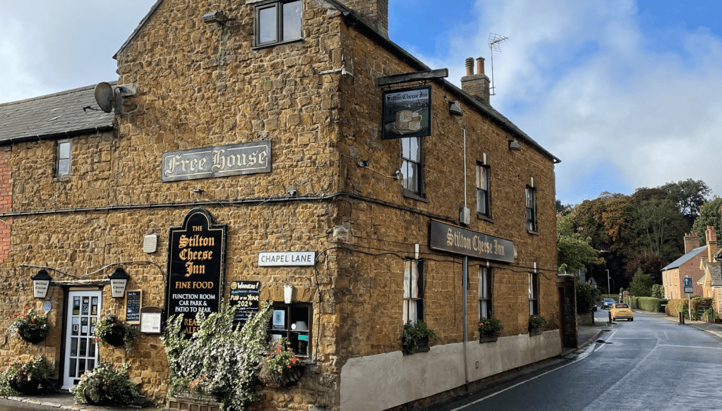
We passed a pub called ‘The Stilton Cheese Inn’ that had nice old brickwork.
Continuing on we saw a sign on a gate pillar leading to a large house called The Grove.
We continued onwards and had an encounter with a feisty Ram who may have been getting territorial or maybe he was just curious. Either way, we hopped across a stile fairly pronto. There were nice views into a valley.
Shortly, we arrived in Burrough-on -the -Hill where we saw a couple of nice houses.
Grand house in Burrough-on-the-HillAutumn leaves
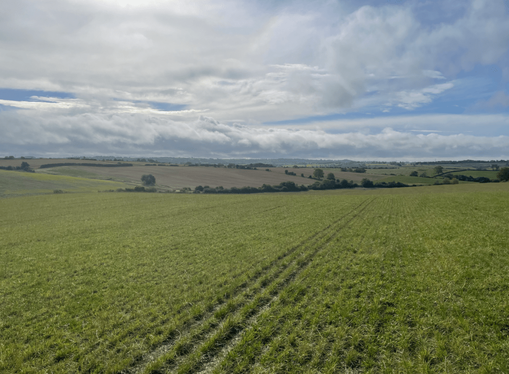
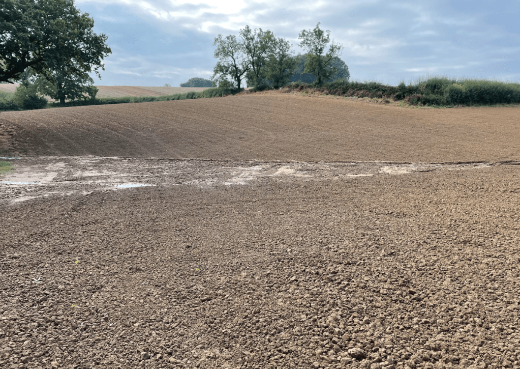
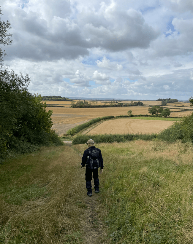
Leaving Burrough-on-the-Hill we took fields towards Thorpe Satchville. Crossing some fields was a slog as they had been recently ploughed. We had nice views across the fields of England’s green and pleasant land.
Soon we were back at our car and we were dry! It had been a strenuous walk because of the wet conditions underfoot and the undulations, but great for the soul. My waterproof socks had worked a treat. We had not met anyone on our route today.
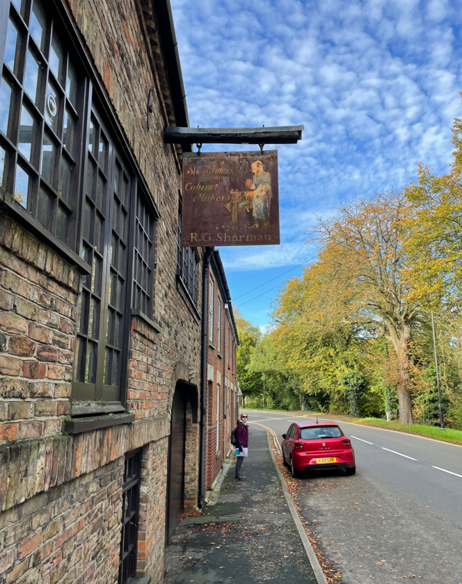
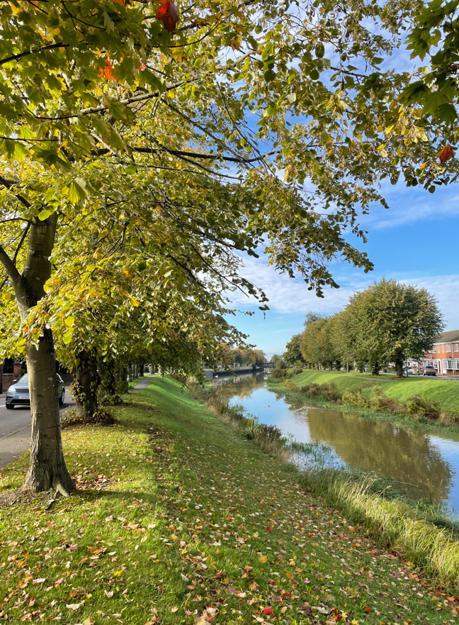
Today, myself and Angela drove to Spalding – a market town on the river Welland in the South Holland district of Lincolnshire. We did a 7- mile circular walk which followed the river Welland, the Coronation channel and Vernatts Drain.
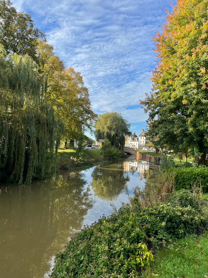
It was a sunny but chilly morning as we left the car park and headed to the river Welland. The river is lined with trees which is nice to see, especially in Autumn.
River Welland in Spalding
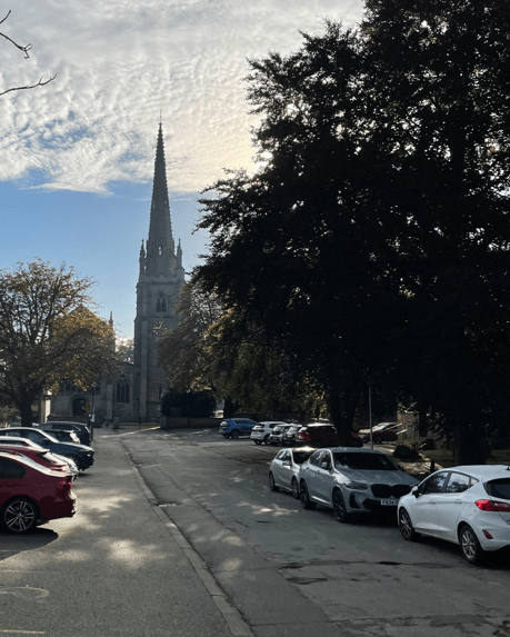
We passed the church with its fine steeple.
I spotted an old shop sign outside a building – it used to be a cabinet makers workshop.
We followed the Welland for about half a mile and then turned left where we met the Coronation channel.
Tree lined river Welland
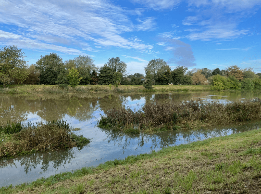
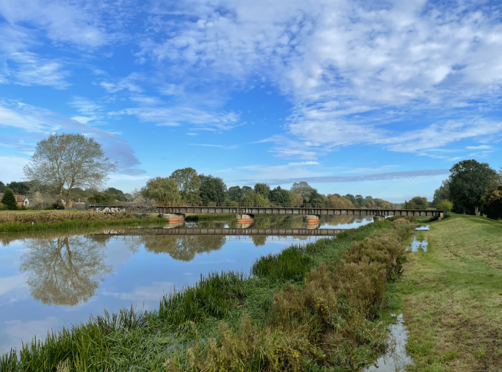
The Coronation Channel flows north from Crowland, through Spalding and out to the Wash. Land in Spalding had been reclaimed from the wetlands in medieval times. Consequently, Spalding was subject to frequent flooding. The Coronation Channel diverts the excess waters around Spalding and ended the flooding.
The Coronation channel
We walked along a high embankment which was built from the spoil taken out of the channel. The channel is quite wide – I wondered how deep it was? It was very pleasant walking in the sunshine.
The channel banks had been breached in places from the recent heavy rain.
High water in the channel
There were quite a few bridges over the channel including a disused railway line. We stopped on one of the bridges for a cuppa – there was a distinct lack of benches on this walk.
Old railway bridge
‘What’s that smell?’ said Angela as a particularly obnoxious odour enveloped us. It was coming from a factory adjacent to the bank and was foul! Angela moved into top gear and scooted along the embankment to get away from the smell. I think the factory was an Abattoir.
Continuing along the embankment we could hear church bells ringing and we soon found the church where it was emanating . The ringing was very pleasant on the ear.
We passed some large sluice gates. We had seen a couple of Herons and cormorants along the way.
Further on we passed Spalding Power station. The new £425m, 860 MWcombined cyclegas turbineSpalding Power Station, owned by InterGen, was built on the former site of British Sugar in October 2004. A second 300 MW expansion to the existing Power station opened in 2019.
Spalding Power Station
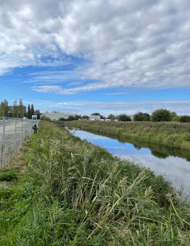
The route we were following was from a guide and clearly it needed updating. The route took us to the very busy A16 where roadworks were occurring and there was little in the way of a path for walkers. We did not enjoy this section which led us to Vernatts Drain (named after one of the engineers who drained the fens).
Walking on the footpath adjacent to Vernatts Drain proved troublesome with overgrown shubbery restricting access. Angela was not happy when she got stung by nettles. Funny smells, no benches and now poor paths, Angela was not enamoured with our walk today.
A poor fothpath along Vernatts Drain
Eventually the path improved.
Vernatts Drain
We passed a nice house by a bridge and then proceeded along our route to where we needed to cross the railway line.
We found that the old railway crossing had been fenced off so, had to find a different route back through Spalding. Most frustrating.
Access to railway crossing fenced off
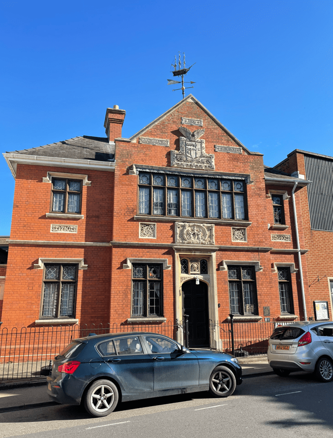
On our way back to the car we passed a fine looking building with an unusual weathervane- the building is used by Spalding Gentlemen’s Society as a museum! https://www.sgsoc.org/.
So, a mixed bag of a walk and one that we probably would not do again. Still we enjoyed the sunshine and a stretch of the legs.
Yesterday was a very wet day with heavy rain throughout. As I set off in my car this morning I wondered what will the roads would be like, and also, what will my planned walk route would be like?
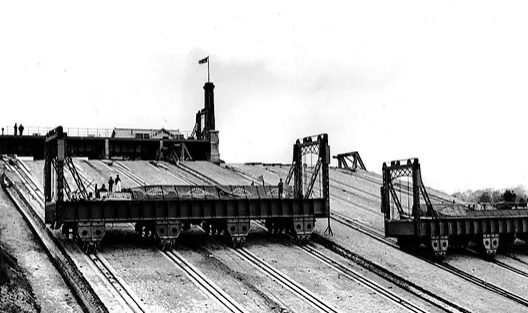
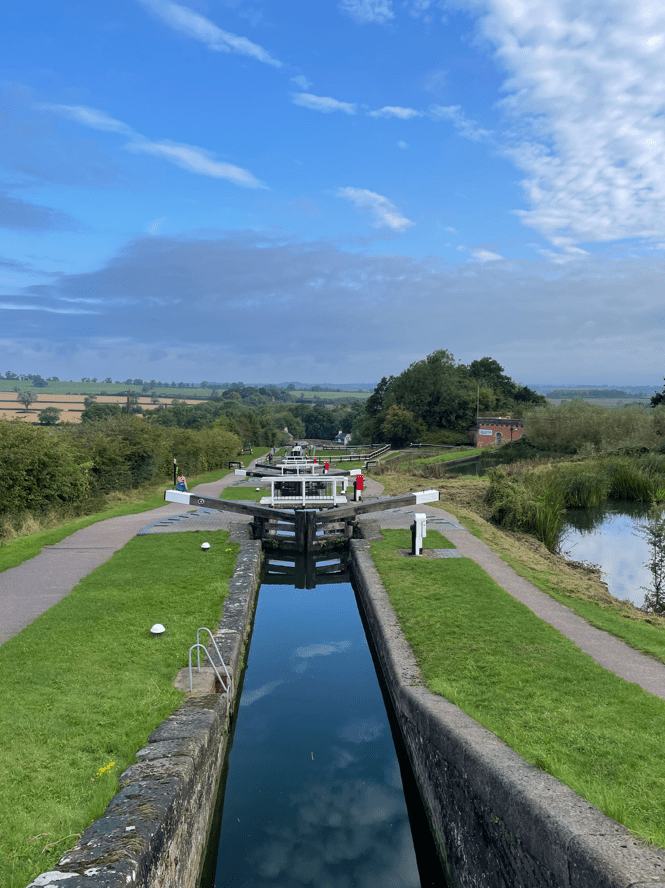
As a canal enthusiast I have been wanting to visit Foxton Locks ever since I had read about them. They are one of THE iconic sights of the canal network. Over 4,000 boats pass through Foxton Locks each year making it one of the busiest spots on the 2,000 mile canal network. Found on the Grand Union Canal the ten locks allow boats to ascend / descend 75 feet. It takes 45 mins for a boat to pass through the locks and uses 25,000 galls of water in the process. Built in 1810 they were superseded between 1900 and 1910, when an inclined plane, powered by steam engines and winches, was used to lift /lower large tanks (caissons) that contained the boats. However, the inclined plane lift proved uneconomic and was removed.
The inclined plane at Foxton
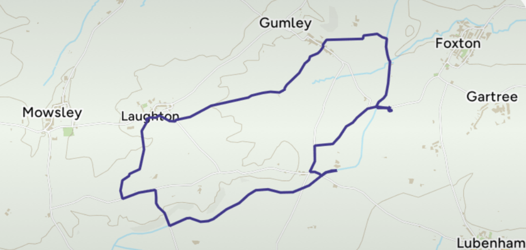
Today’s 7 mile circular walk would begin at Foxton Locks and take me across fields to the hilltop village of Gumley. After, it continued across the top of low Laughton Hills then descended to rejoin the canal. The last 2.5 miles would be along the canal towpath with fine views over the Welland valley.
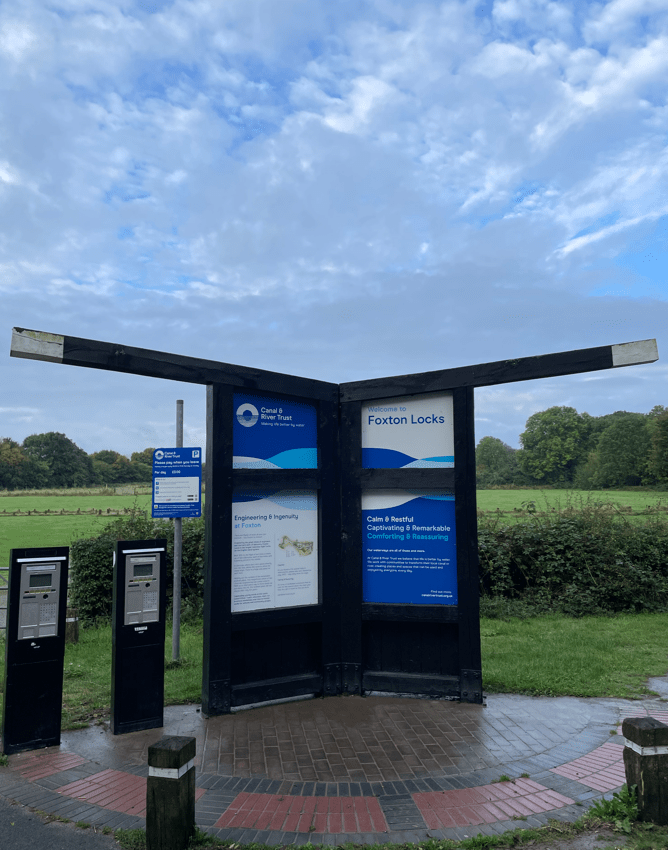
As it turned out, I had to pass through two sections of flooded road to get to the start of the walk – I took it slowly driving through the water. I parked in the long stay car park at Foxton Locks, noting the lock gates by the parking machines.
Leaving the car park (£3 all day) I followed a path which brought me to the canal towpath which I followed towards the locks.
My first view of the Grand Union canalA nice sculpture
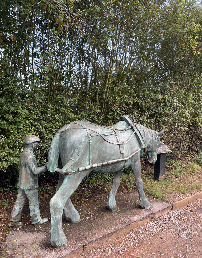
I passed a lovely sculpture of a horse and young lad – a nod to the days when the boats were horse drawn. Further on I reached the brow of a hill where the old locksmiths cottage (now a café but closed when I was there) stood and I gazed out at the wonderful sight of the locks. Awesome! – particularly when there were so few people about.
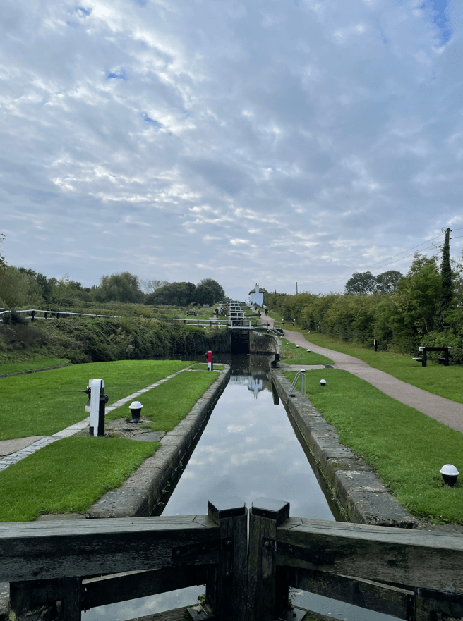
Foxton Locks Flight
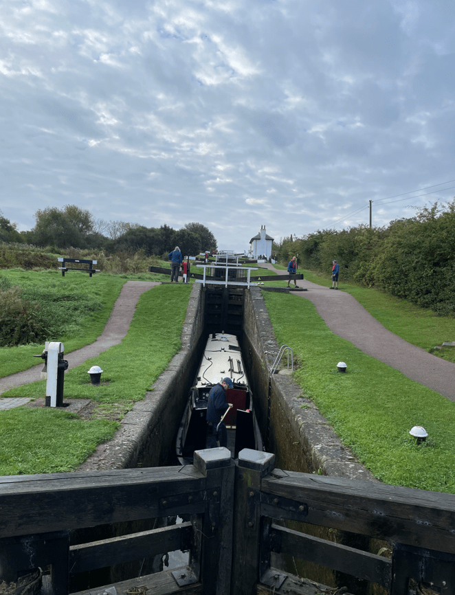
I walked down the flight of locks watching a boat make its way upwards.
Boat travelling up the flight of locks
I was interested to see the ponds adjacent to the locks which supply water for the locks. Water is fed through two paddles- one red for filling the locks and one white for emptying the locks. You can see them on the photo above on the left hand side of the lock.
A previous lockkeeper painted the paddles red or white and had this famous rhyme “Red afore white and you’ll be alright, white afore red and you’ll wish you were dead!
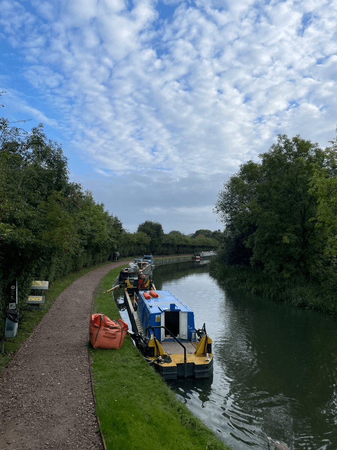
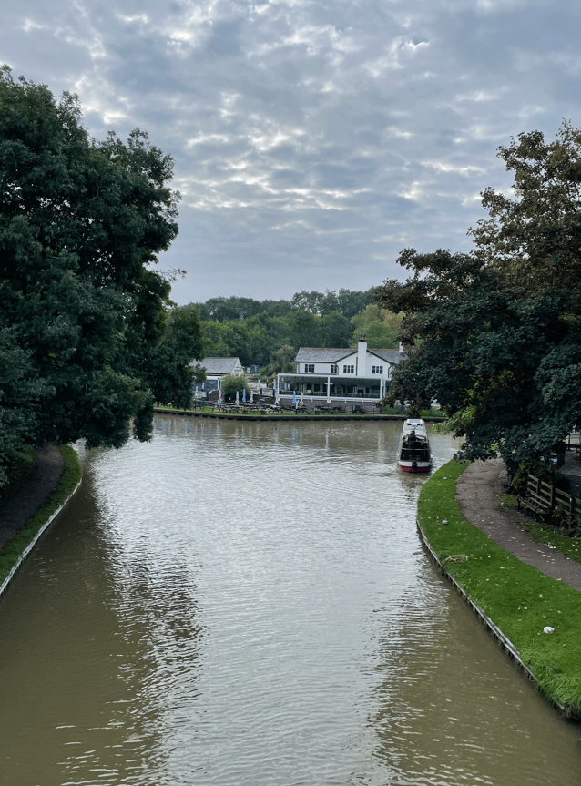
At the bottom of the locks lies a canal basin and a pub! There is also another café but alas, it was closed.
I continued along the towpath for a short while then crossed a bridge over the canal to reach a soggy field.
Over the bridge I go
I followed my route across fields, quite steep at times, to reach Gumley. Interestingly, this section from Foxton Locks to Gumley is part of the Leicestershire Round so I will be passing this way again. I was crossing through fields containing cows, horses and sheep (not all in the same field!)
There was only one field that I crossed which was particularly muddy. It was very wet and I was glad to get through it.
The muddy field
I was particularly careful crossing the many stiles which I found were slippery – especially with muddy boots.
Arriving into Laughton I liked the nice houses and found my path across another field of, thankfully, friendly cows 😊
Laughton
The next section took me along some narrow lanes and I descended steeply to reach the canal – There were nice views across the Welland valley on this descent.
Views across the Welland Valley
This is the Leicester branch of the Grand Union Canal which joins the main waterway near Daventry. Completed in 1814 it was built to provide a direct link from Leicester to London.
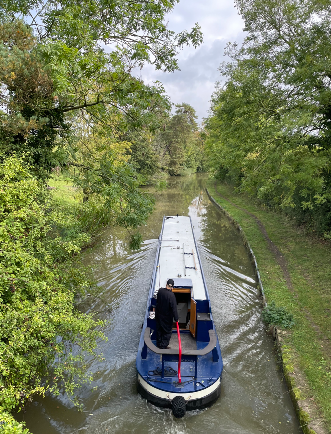
I didn’t meet a soul along the towpath although a few boats chugged by with the skippers giving a friendly wave.
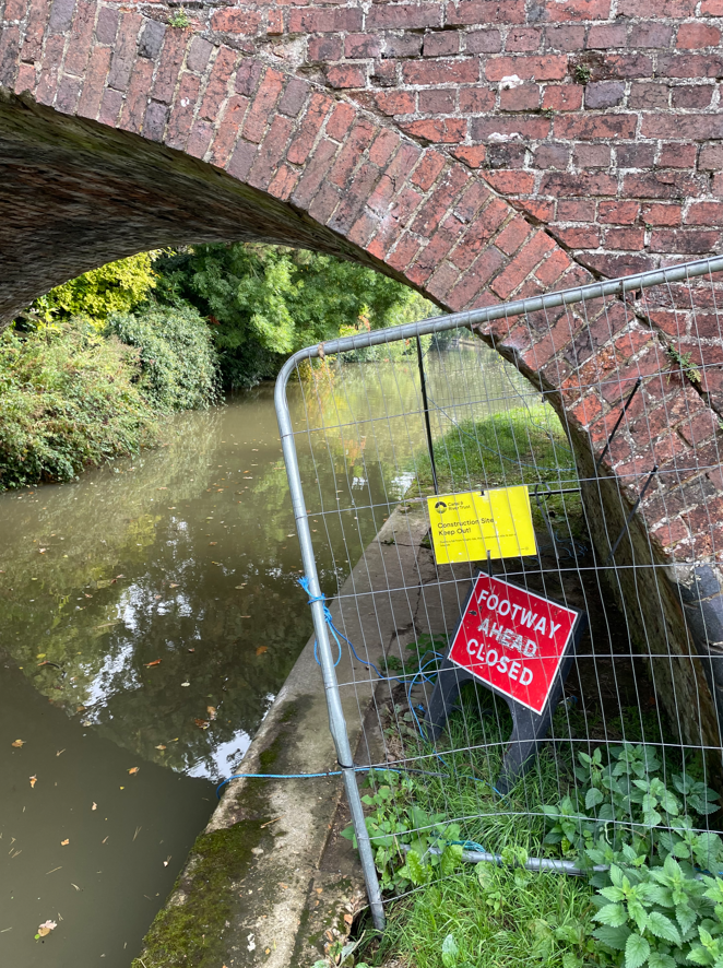
As I walked along, ducking to avoid low hanging folliage and lost in my thoughts I was enjoying the day. Passing by a bridge it had a sign on it saying towpath closure ahead – I wondered whether it would affect me. At the next bridge I found that it did – the path was barricaded off with no information about a diversion and, in fact, no way off the towpath! I had to turn around and go back to the previous bridge – how annoying!
I consulted my map and ended up doing a mile extra along lanes to get back to the canal. Not a happy chappy, but worst things happen at sea, as they say.
I arrived back at the car park to find that it was much busier than when I had left it. I am so chuffed to have seen Foxton Locks – a good day out.
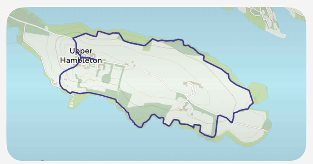
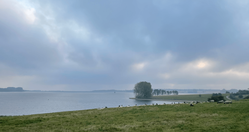
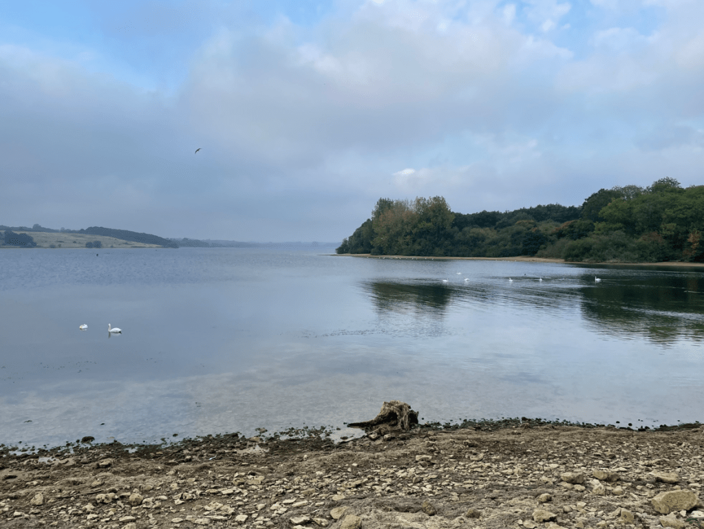
This morning I was up early doors and headed down the A1 to Upper Hambleton at Rutland Water, a large man-made reservoir. When the reservoir was created the high ground around Upper Hambleton was left above the water and so now forms a peninsula. My aim was to walk around the peninsula – a modest distance of 5 miles. I was hoping for some nice views.
My route
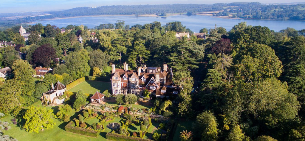
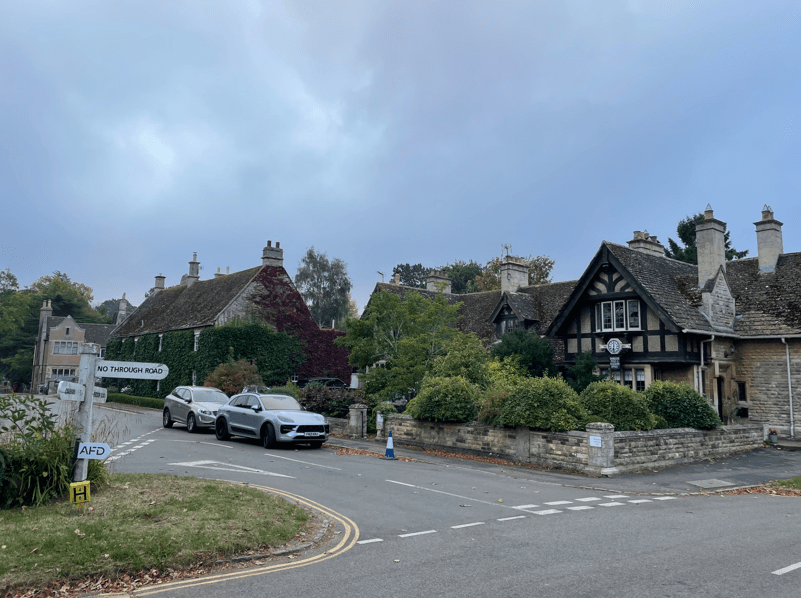
I parked my car on the road close to Hambleton Hall hotel https://www.hambletonhall.com/ and walked through the village.
Hambelton Hall HotelUpper Hambleton
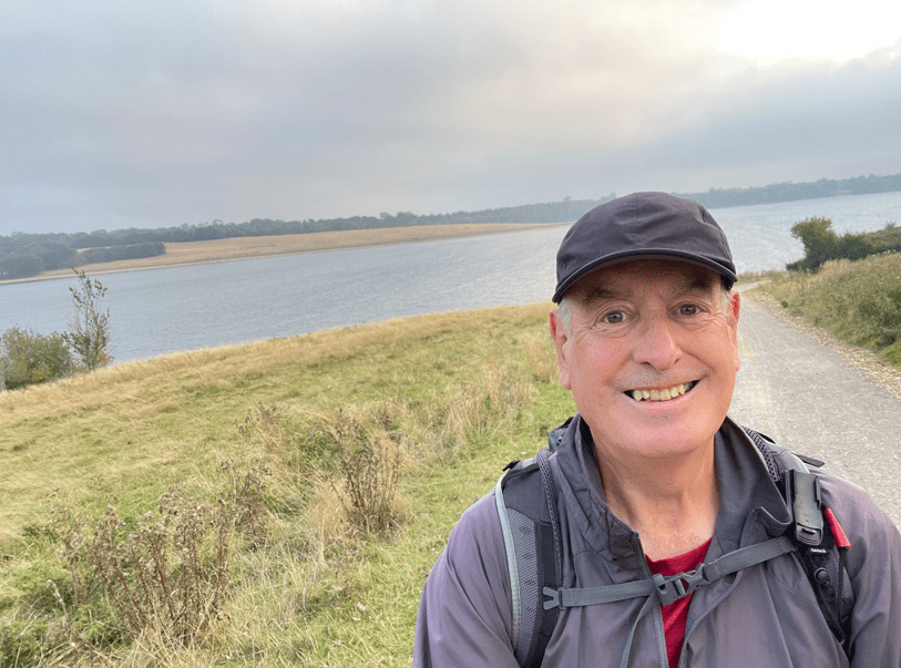
After a short walk along the road I joined the cycle/walking trail that runs around the peninsular. It was gently undulating with fine views across the water.
The weather was dry but murky – thunderstorms were forecast for later. Runners were out enjoying an early morning blast seemingly oblivious to the world with their wireless earplugs in. I wondered what their choice of music was or maybe it was radio 4?
Sheep were dotted about munching on the grass.
It was lovely to see the sun trying to break through the clouds and I captured some nice photos.
Swans on the water
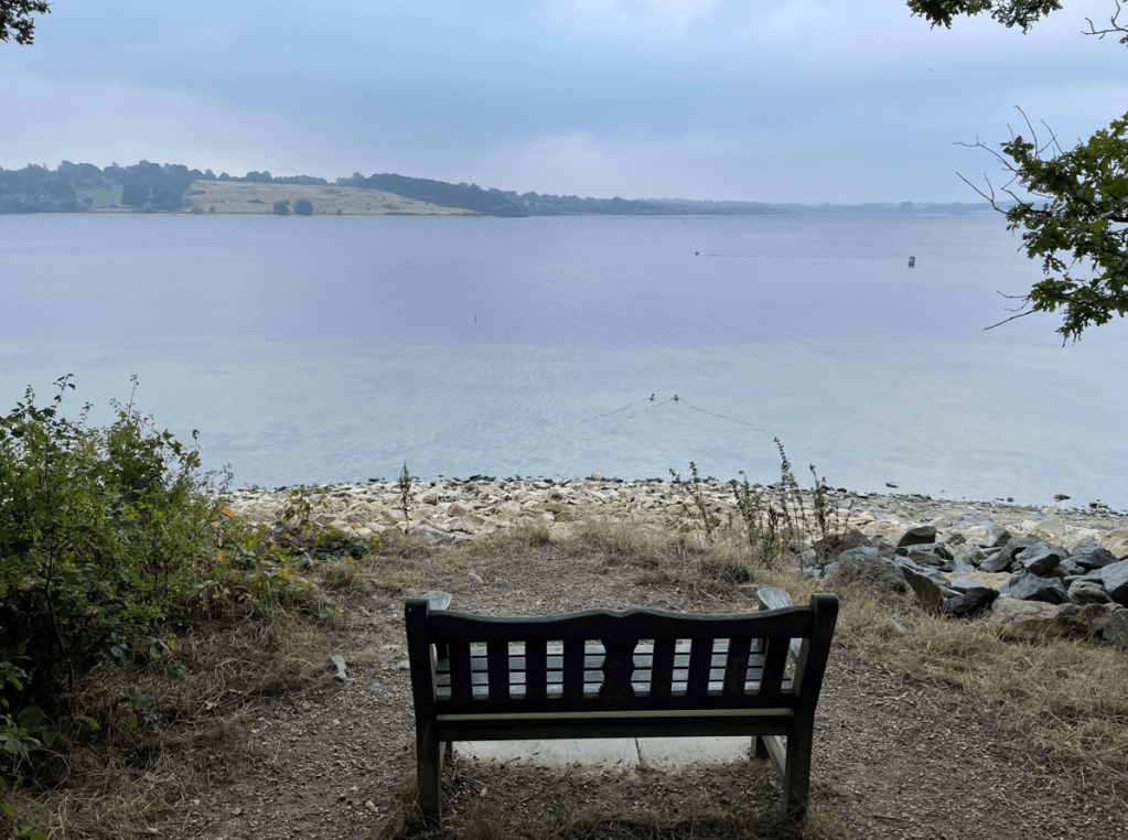
The path rolled around the peninsular passing small beaches/bays and through wooded areas. I stopped at one of the many benches scattered along the route for a scotch egg and a drink enjoying the quiet and the view.
Further along I passed the old Hambleton hall – a fine building.
Old Hambleton Hall
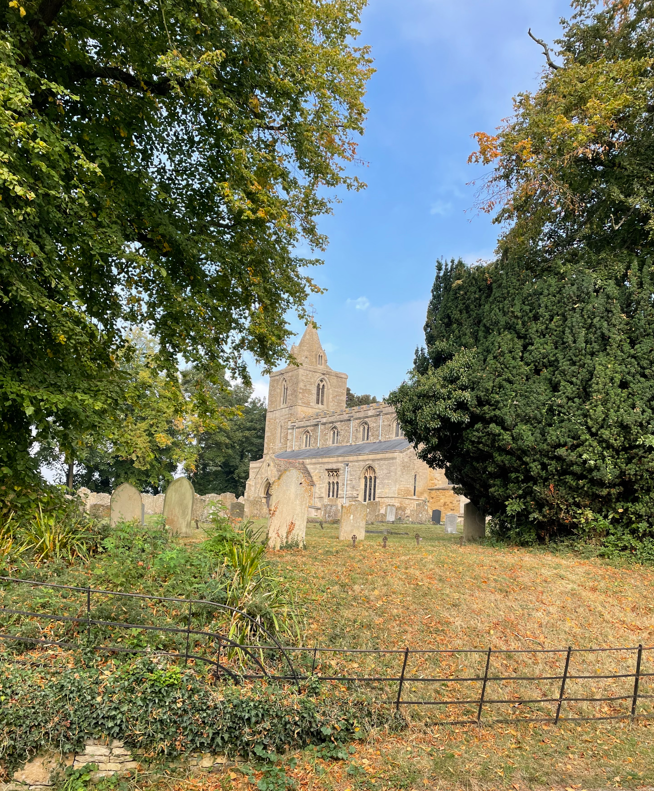
Three cyclists whizzed past me chatting away. I headed up a hill to the village passing St Andrews church (12th century).
St Andrews church
Soon, I was arriving back at my car. I had enjoyed my walk – it was definitely worth the effort.
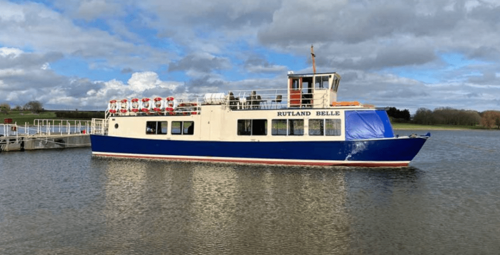
I will return to the area because I want to take a trip on The Rutland Belle that runs trips on the reservoir. https://rutlandwatercruises.com/
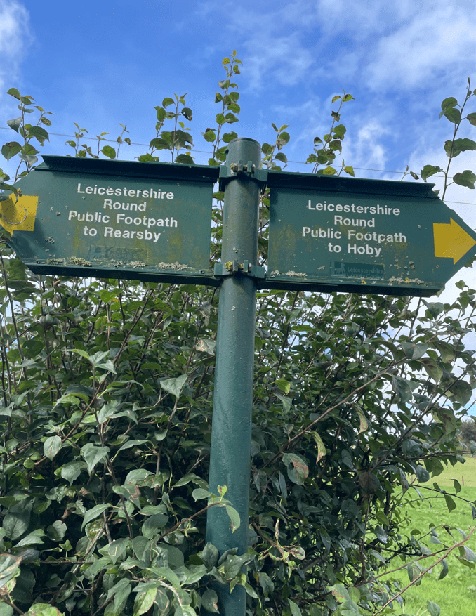
Today myself and Mick continued with another leg of the Leicestershire Round. You may recall from an earlier blog that the Leicestershire Round is a 100 mile circular walk around the county of Leicestershire. We are doing the walk in stages and today was a 9 mile walk for leg 3 – Hoby to Thorpe Satchville.
Our route today
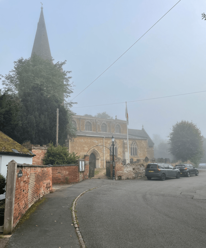
As usual, we parked one car at Thorpe Satchville and the other at Hoby. It was a foggy morning and quite chilly when we resumed our walk by the church in Hoby.
The church in Hoby
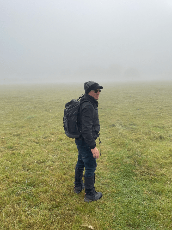
Our first port of call would be Frisby. The mist was proving stubborn at lifting which also made navigating interesting.
Mick asks’ which way are we heading?’
We crossed the river Wreake over a wooden bridge hoping the fog would lift soon. When crossing fields we normally look out for the yellow marker posts denoting the exit but we were snookered with the mist.
river wreake
The walk would turn out to be one where we cross lots of stiles, pass through many gates and, on the first half of the walk, get surprised to find we were walking through a field of cows because they suddenly appeared out of the mist.
Arriving into Frisby on the Wreake
Arriving into Frisby a helpful couple pointed us in the right direction of our way out.
Frisby on the Wreake
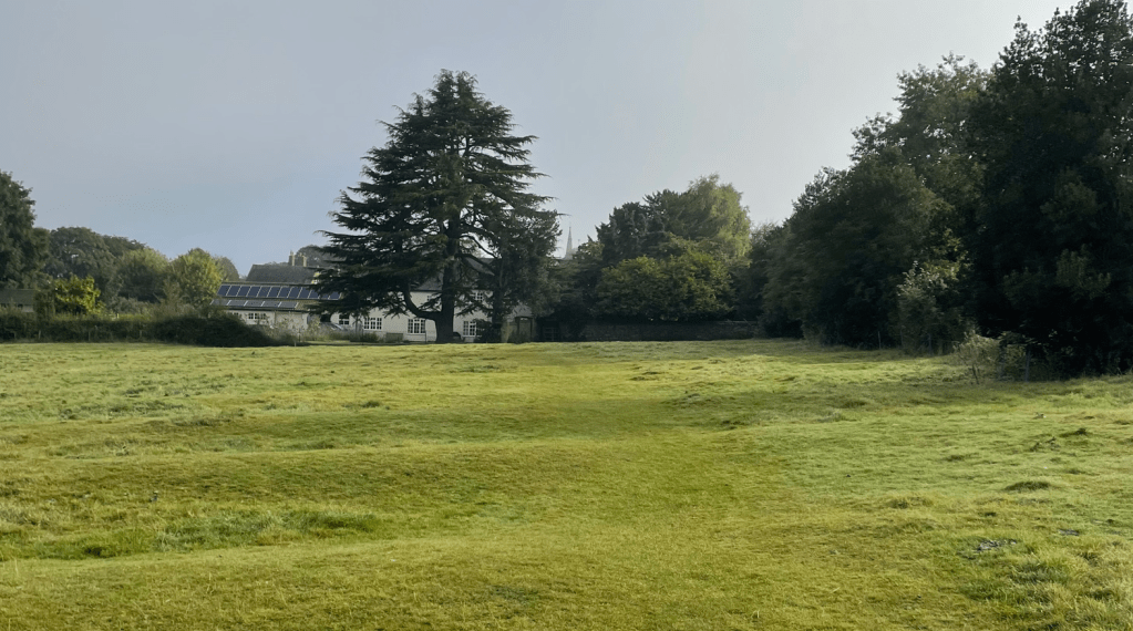
Leaving Frisby we started to ascend and continued to do so for quite a while. The mist was lifting and blue skies were visible. We would cross gently rolling hills to Gaddesby.
Leaving Frisby
It was time to get the jackets off as the temperature was rising now.
Mick gently ascending
We arrived in Gaddesby and asked a resident whether there was a bench near by – he pointed us in the right direction. We needed a drink and some food.
Gaddesby is a lovely village with some thatched roof cottages. It also has a grand hall but we only saw its entrance gates.
Entrance to Gaddesby Hall
Refreshed after our break we set off again, passing beside the church. The church is generally reckoned to be the most beautiful in the county with a tall spire that can be seen for miles.
Church in Gaddesby
As I was taking the photo a lady who was tending the gardens informed me that inside are grade 1 listed medieval wooden benches.
Gaddesby church spire
Leaving Gaddesby we were headed for Ashby Folville. We had to cross four fields that had had manure sprayed over the surface so the air was pungent and slippery underfoot. As Mick said, ‘this would not be a good place to slip over!’ Thankfully, neither of us did. The subsequent fields were grassed so helped clear the muck from our boots. The joys of farmland walking.
Heading for Thorpe Satchville
We passed through a tunnel under a dismantled railway line (Melton Mowbray line?) and then saw a field containing only black sheep – quite unusual.
Black sheep
Arriving into Thorpe Satchville we both felt that the walk had not been as nice as our other two legs. I guess they can’t all be special. This was more a ‘getting the miles knocked off as the scenery was nothing special’ type walk. Enjoyable never the less – you can’t beat being out and about!
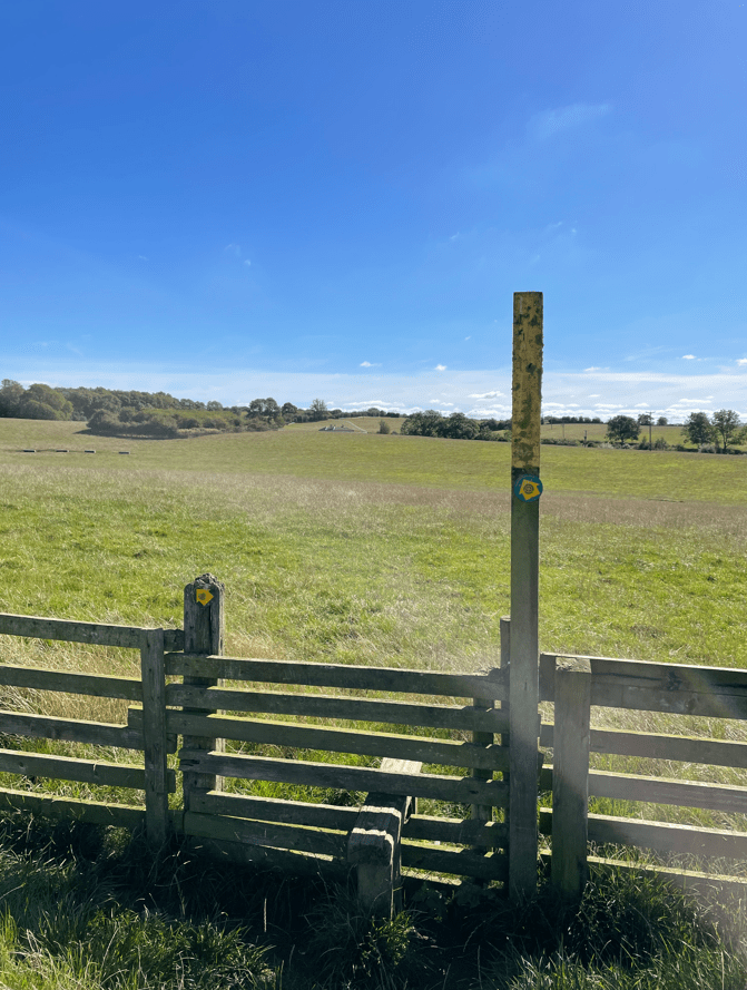
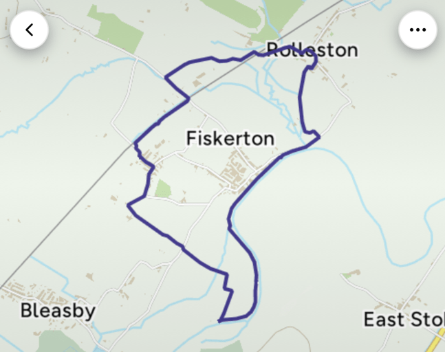
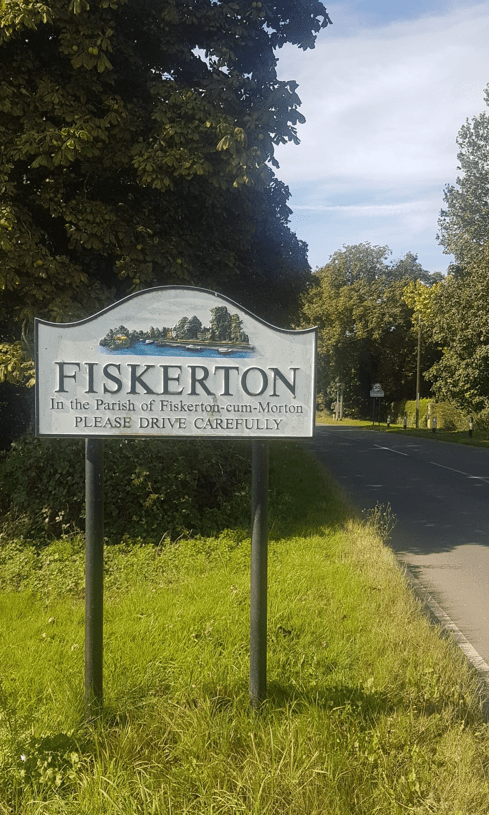
This morning myself and Angela enjoyed a 6.5 mile circular walk starting at Trent view car park, Fiskerton, beside the river Trent. Here the Trent winds lazily through a wide valley and this route, linking the villages of Rolleston, Morton and Fiskerton, followed a flat course utilising a mixture of field and riverside paths, tracks and quiet lanes.
By choice we had an early start because we like getting out and about before the rest of the world rises. It was still a chilly morning when we arrived at the car park.
The Trent at Fiskerton when we arrived at the car park
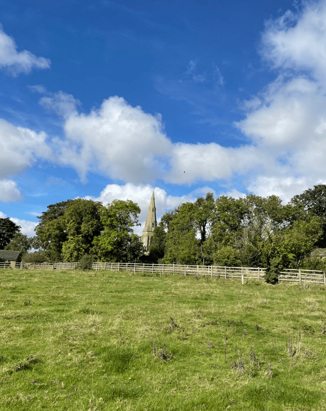
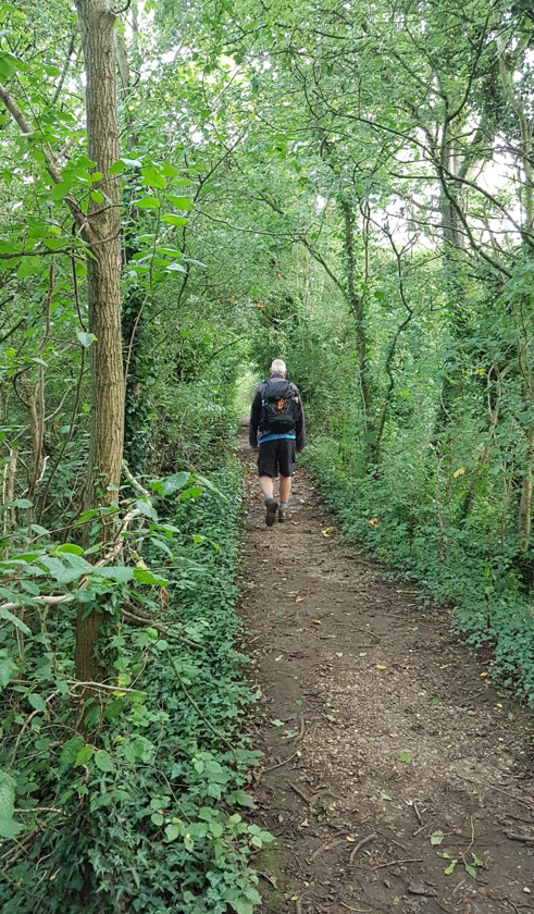
We headed along a path through trees, trying to avoid the nettles that encroached on the path in places, before reaching an open field where we could see Rolleston in the distance.
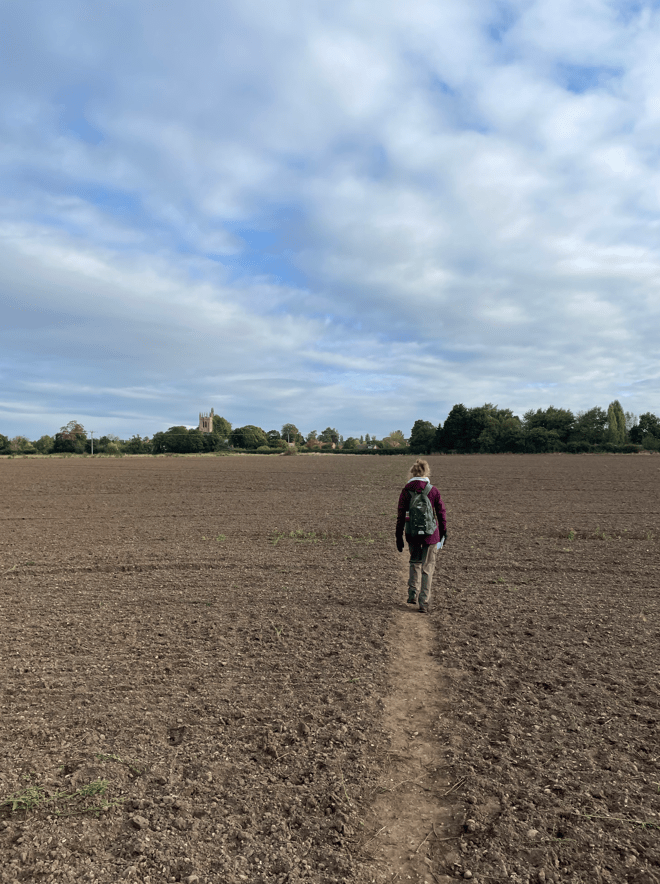
Heading for Rolleston
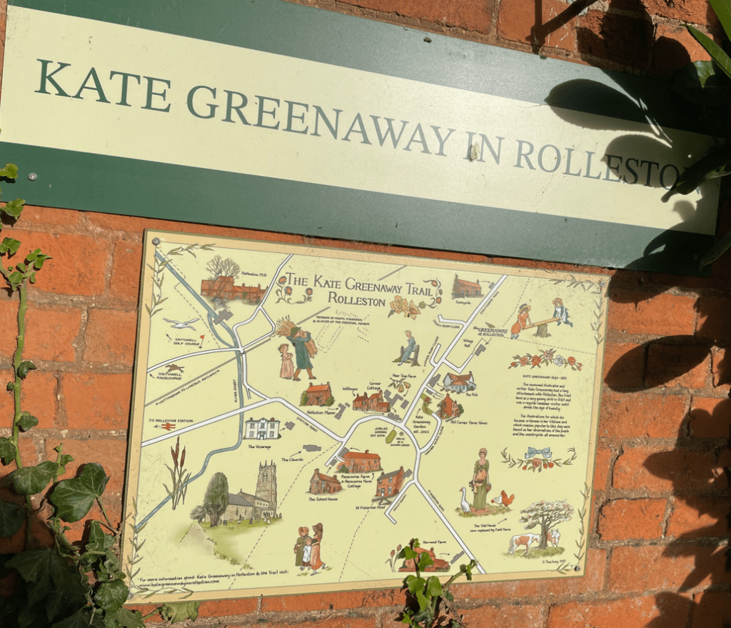
Rolleston turned out to be an interesting place because it was home (for some of her childhood) to the famous Victorian illustrator of children’s books Kate Greenaway. Later, she was a regular visitor in the summer holidays as she grew up. The village has a trail that can be followed around the village that is related to her. https://en.wikipedia.org/wiki/Kate_Greenaway
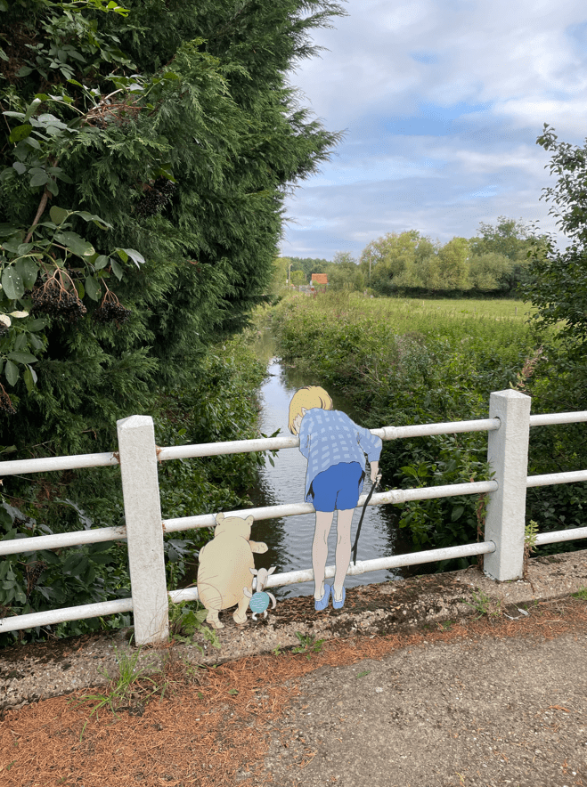
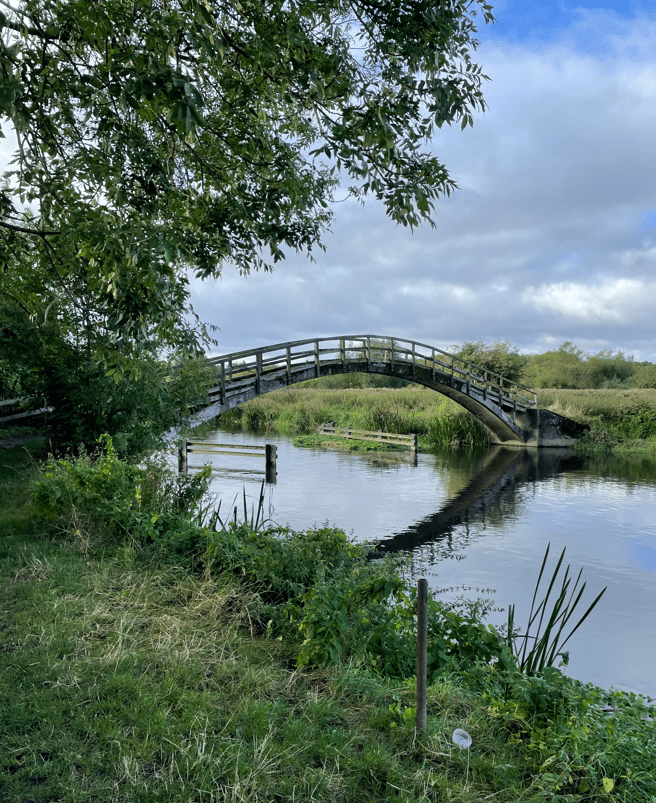
I thought that it was good that the village was remembering their famous resident. Walking out of the village we did a double take when we saw Winnie the pooh , piglet and Christopher Robin playing pooh sticks at a bridge! 😊
Our route took us close to Southwell race course, a popular horseracing venue.
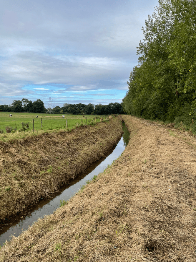
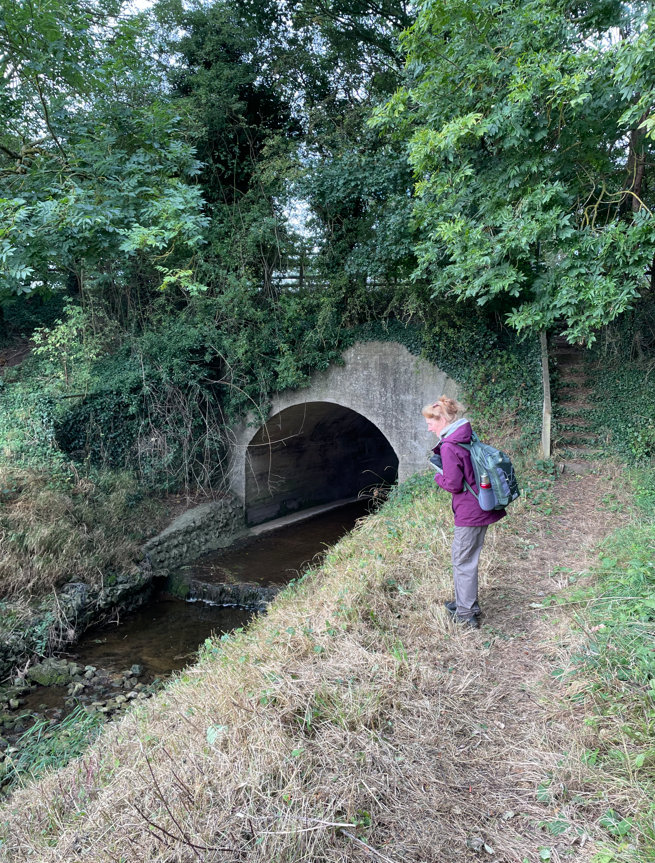
Walking through the fields close to the racecourse there were a lot of horses – no surprise that! We walked beside Beck Dyke and Angela took a particular interest when it went into a tunnel under the road.
Beck Dyke
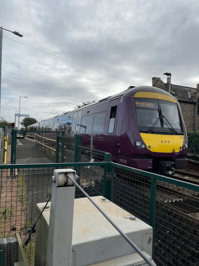
Leaving the Beck we walked along the road and waited at the level crossing (over the Lincoln to Nottingham line) for the East Midlands Railway train to pass. I had a quick coffee while we waited. We then proceeded to the village of Morton where we had a proper stop at a bench.
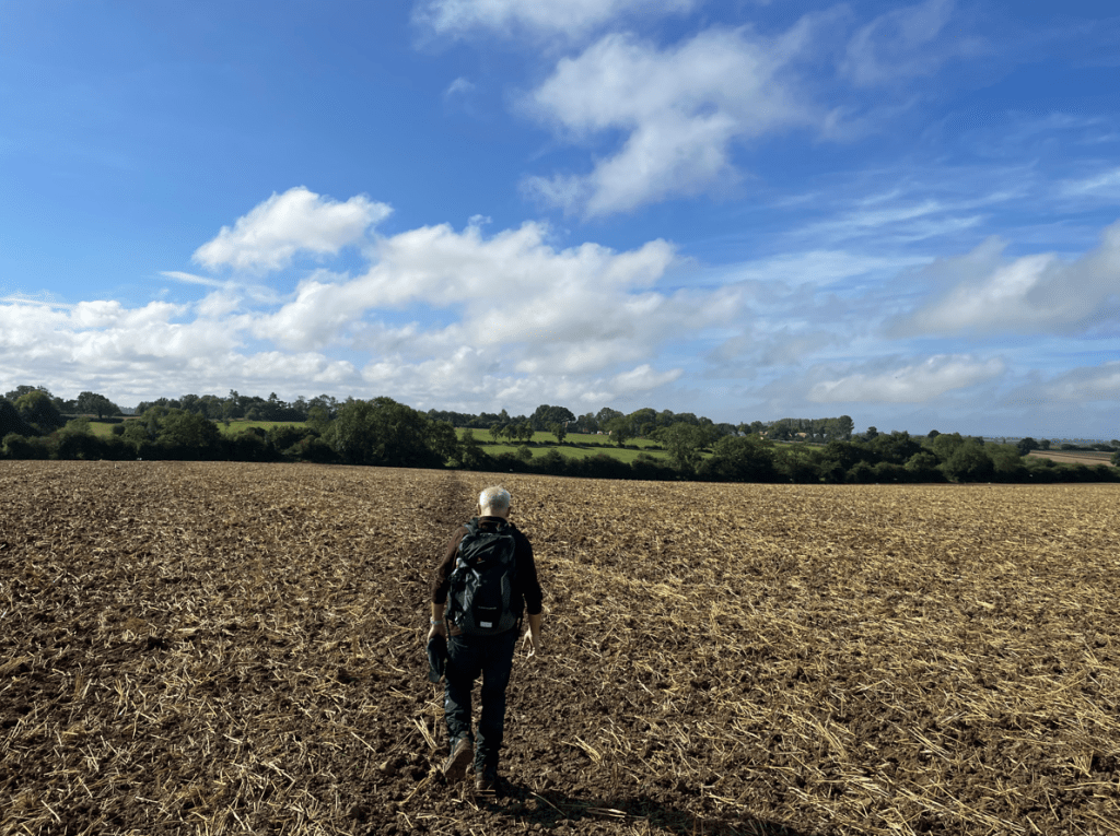
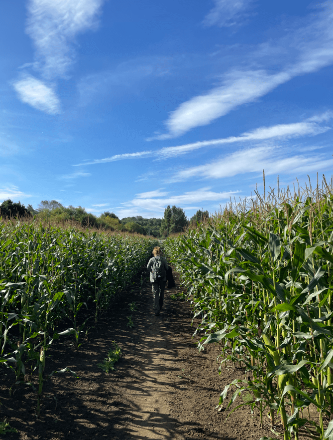
The sun was warming up the day as refreshed after a snack, we set off through fields of maize towards the river Trent.
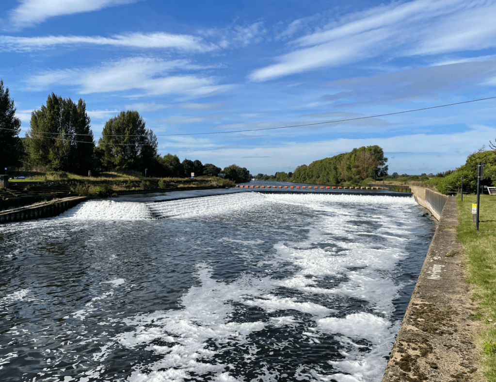
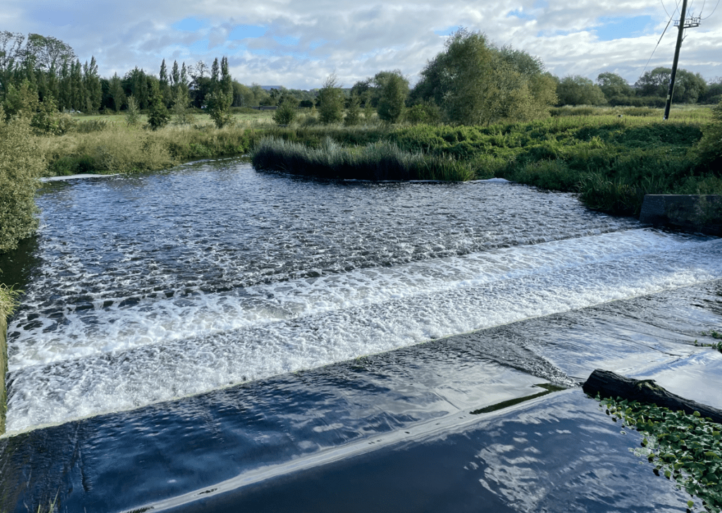
We could hear the weir before we saw it- Hazelford Lock & weir. The air had a faint sweet smell to it and there was some foam on the water.
Hazelford Weir
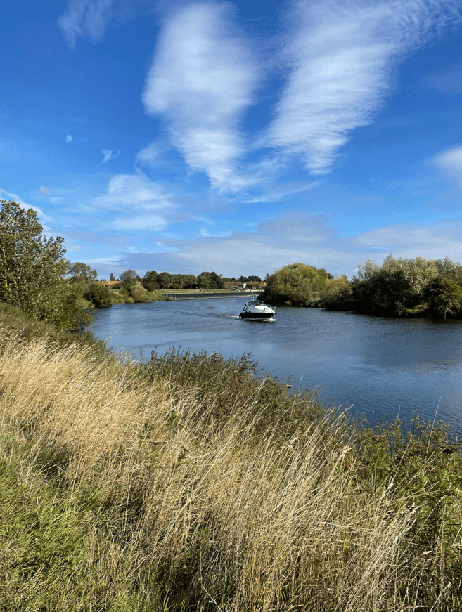
We followed the bank of the river towards Filkerton. Anglers lined the banks along the way – it does look an expensive hobby with all the kit required and tents, wheelbarrows etc to carry the kit. I can appreciate the solitude though, of sitting by the water waiting for the excitement of a bite on the line.
A cruiser motored majestically along the river – disturbing the Anglers.
At Fiskerton we reached a promenade in front of the old maltings and loading wharf. It had turned into a beautiful morning. We admired some very beautiful houses with their own private moorings containing expensive looking motor launches – how the other half live!
The wharft at Fiskerton
Arriving back at the car we both had enjoyed the walk -a perfect option for an easy Saturday stroll.
Today myself and Mick did our second leg of the Leicestershire Round – Mountsorrel to Hoby-10 miles. It was a really lovely walk, taking in the river Soar and some beautiful villages along the way. The walk started and finished in sunshine, and in between, we had heavy rain. It was a chilly day with a cold north wind blowing.
Having parked our cars at either end of the walk we set off from The Buttercross in Mountsorrel.
The Buttercross in Mountsorrel
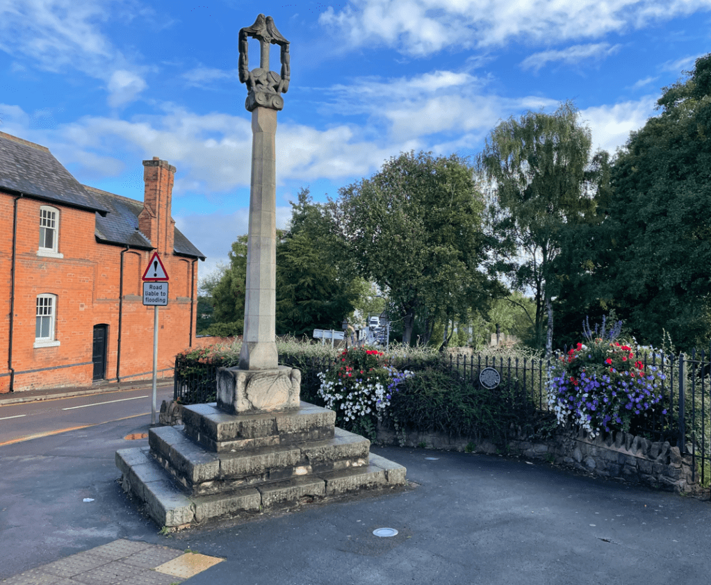
We passed a replica of the 15th century market cross.
Replica of Market Cross
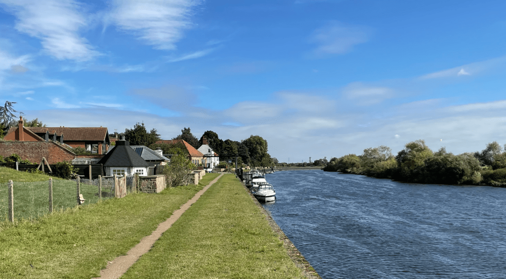
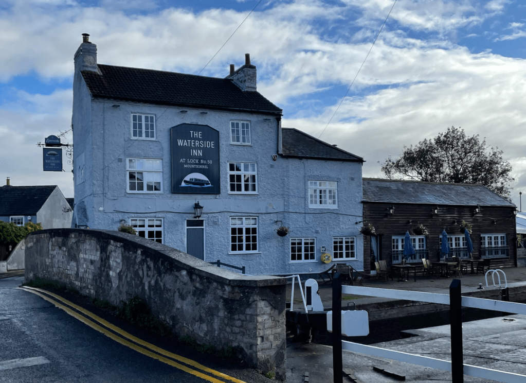
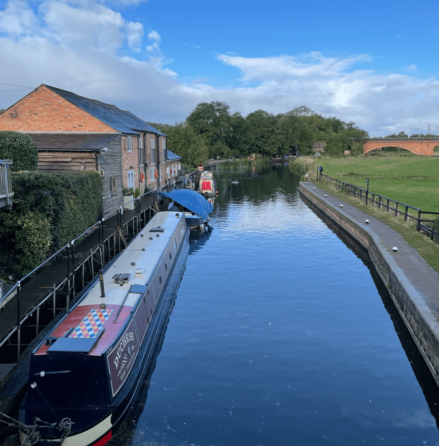
Following the Sileby road we reached the Waterside Inn and then took the towpath along the river. I was admiring the narrow boats that were moored up- it would be nice to win the lottery!
The Waterside Inn Mountsorrel
Passing under the A6 then by a weir and crossing a bridge we headed for Sileby marina. I was enjoying walking by water, I don’t know what it is but it is just nice.
Mick heading to the A6 bridgeA shapely bridgeSileby Marina
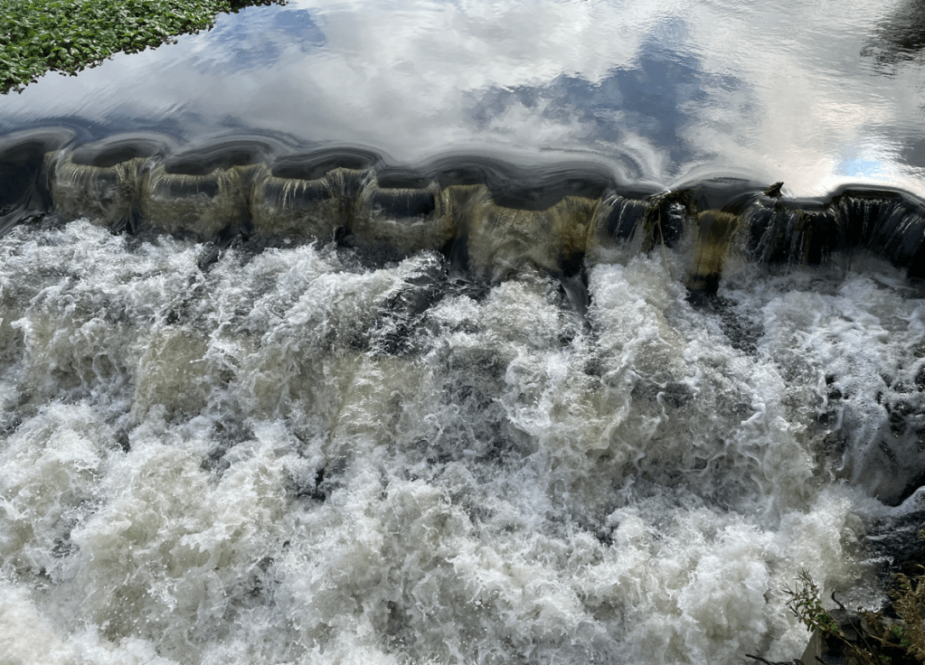
At Sileby Marina we saw a great little weir that was very bubbly – I wondered if this was a way of oxygenating the water by creating turbulence?
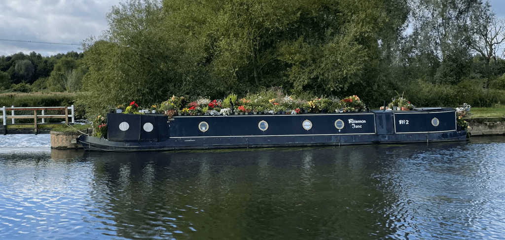
Leaving the Marina we headed towards Cossington Meadows – a nature reserve created from old gravel pits. I spotted a narrow boat with a lovely display of flowers on its roof.
Passing through Cossington village our route took us past Ratcliffe College, a co-ed Catholic public school. It started to rain. We crossed the school playing fields and arrived at the A46 dual carriageway. It took a while getting across because it is very busy and the cars/lorries were travelling at 70mph. Eventually there was a gap in the traffic and I was glad to get across safely.
The rain was persisting down (light showers according to the weather forecast – you could have fooled me!). Sheep were sheltering under the trees – sensible animals.
Our boots got very muddy crossing one of the fields but soon cleared crossing grassy fields. We saw some white cows which I thought were quite rare in these parts.
We came to Rearsby Mill and had to decide whether the path took us up the front drive of this beautiful large house – it did, but as there were no signs I couldn’t help worrying that some irate owner would come out and berate us for trespassing.
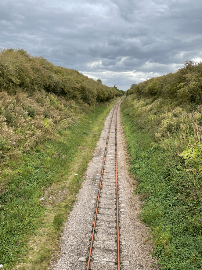
Further along we crossed a mainline railway line which we thought was unusual for its traffic light system for crossing.
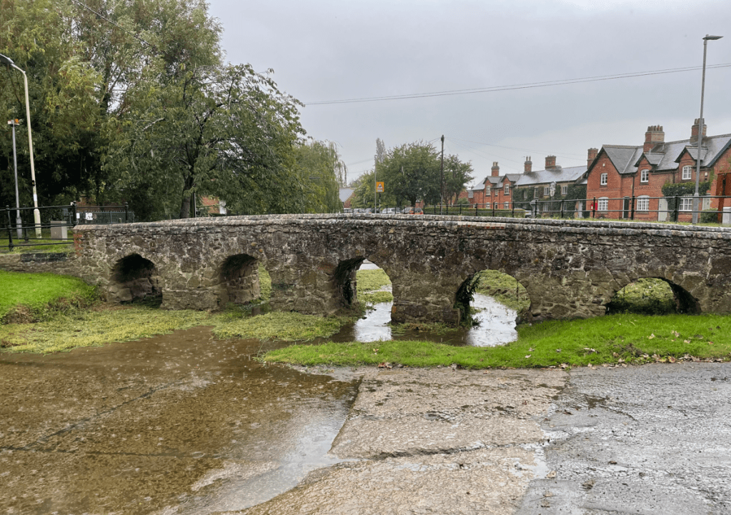
We arrived into Rearsby and I was delighted to see a wonderful example of a packhorse bridge, which was built in 1741.
The bridge is listed as an ancient monument. According to village records it was built by six men in nine days at a cost of just over £11. Fifteen loads of stone and 21 quarters of lime were used in its construction.
The heavy rain started again so we sheltered under some trees leading to church. The rain eased slightly so we set off passing the church of St Michael and All Angels.
Annoyingly, we missed our turn in Rearsby because the sign was buried in shrubbery. A sixth sense told me to check the GPS so we didn’t go too far adrift – funny how you sense things.
We crossed a field containing a now wet crop and we both got very wet legs/feet from it.
Fortunately, the sun made an appearance and helped dry us out slightly as we made our way to Hoby, our destination.
We made a note of where to resume our next leg of the Leicestershire Round- Hoby to Thorpe Satchville, hopefully next week.
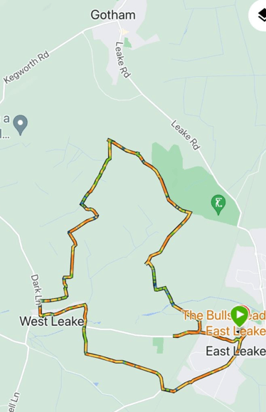
This morning myself and Mick enjoyed a 7.9 mile circular walk in the West Leake hills. Starting in East Leake, our route took us towards West Leake across the rolling hills where we had views across the Trent Valley towards Nottingham.
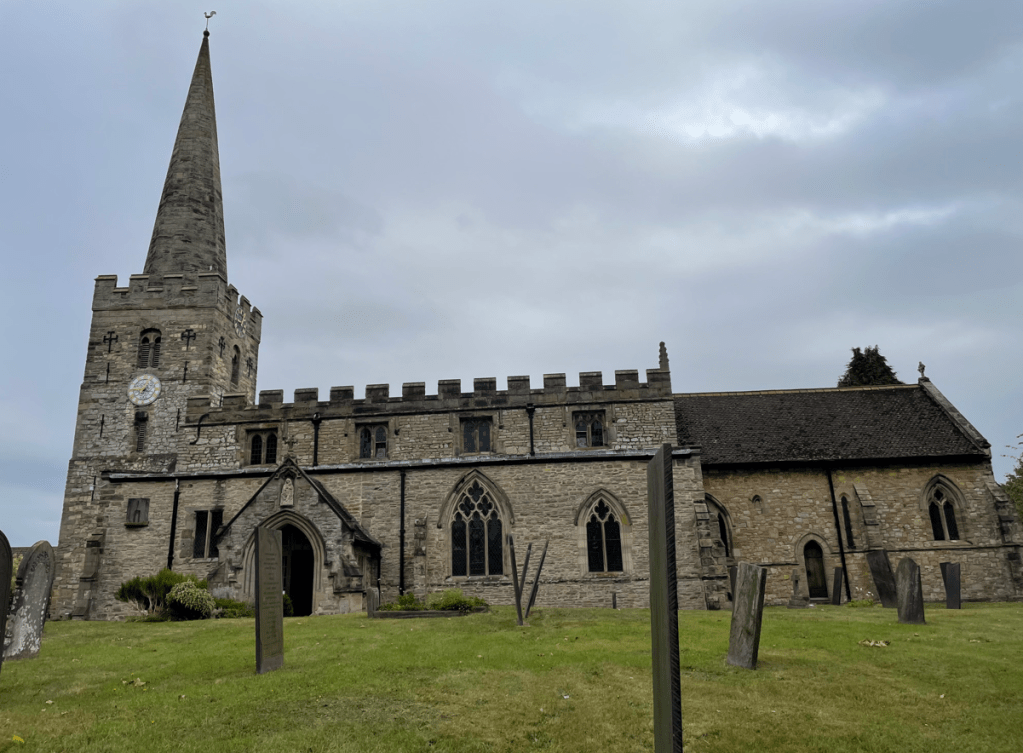
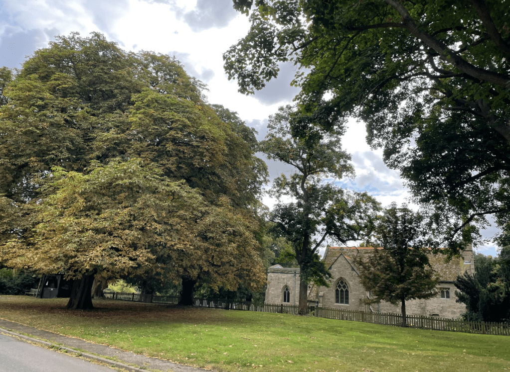
Our walk started close to St Marys church in East Leake.
St Marys church
After a short walk through the village we headed across fields where, already, trees were turning autumnal colours. Summer seems to have passed me by I feel.
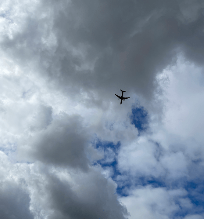
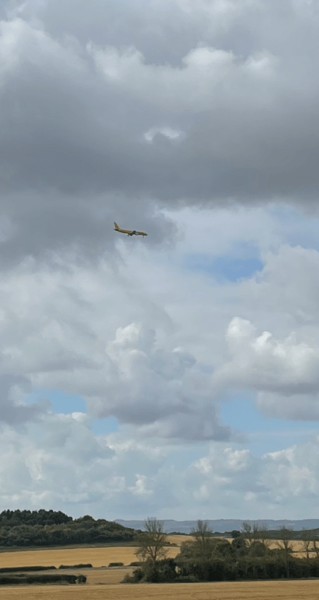
We crossed Kingston Brook and headed up Fox Hill diverting off a narrow boxed in path into a field to avoid nettles and brambles. Here we saw our first DHL plane flying low over us – East Midlands Airport was close by. Over the walk we would see numerous planes overhead because we were under the flight path for landing. The airport has passenger flights but also handles a lot of cargo flights.
Top of Fox Hill
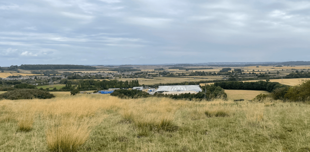
A short section along the Midshires way brought us to Rushcliffe golf course where our path crossed by the side of some Greens. Arriving at Leake New Wood we followed the path on the outside of the wood where we had nice views of the village of Gotham (nothing to do with Batman!) and beyond. I had hoped to see some views of the very large Gypsum factory but they were obscured by trees. We stopped here for a cuppa at a handy bench and took in the view.
Pressing on we walked through the wood and were surprised to find the path muddy in places. Emerging from the wood we headed downhill, again with extensive views.
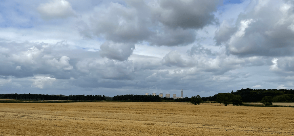
Further on we saw Ratcliffe- on- Soar power station in the distance. Its large cooling towers are a local landmark but probably for not much longer because the coal fired power station will be closing.
Ratcliffe- on- Soar power station in the distance
Overhead the incoming planes continued to roar.
Another DHL plane on approach
Soon we were arriving into the small quaint village of West Leake. It is smaller than East Leake and much quieter.
West LeakeMore signs of AutumnSt Helenas church, West Leake
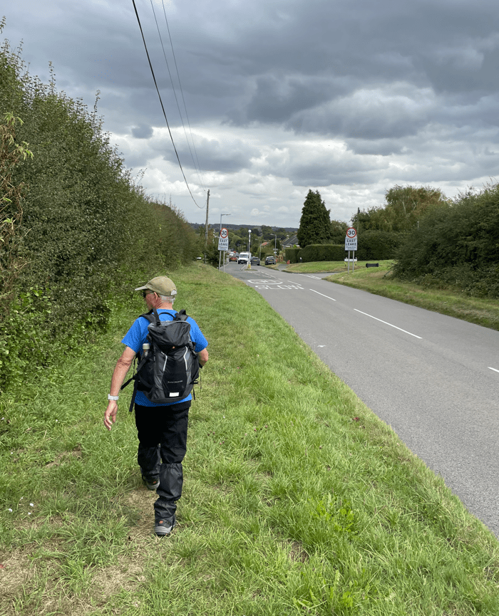
Having walked through the village – it has a charming old village hall – we followed the road for a short section before heading up a very smelly farm track which got smellier as we reached the farm. I was glad to pass through and leave the farm behind!
Crossing fields we emerged on to the road back into East Leake. We crossed the heritage Great Central Railway line and headed towards East Leake.
Mick heading into East Leake
Getting closer to the church we could hear the church bells ringing and they rang continuously for quite a while. It was very impressive bell ringing too. It sounded very technical with multiple bells ringing.
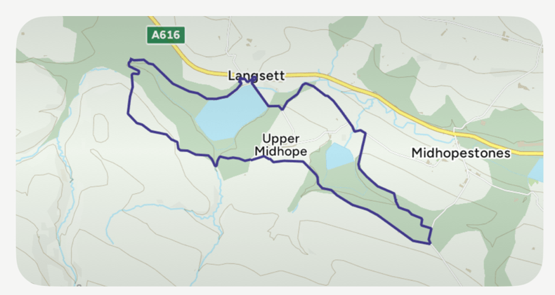
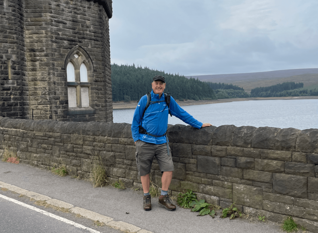
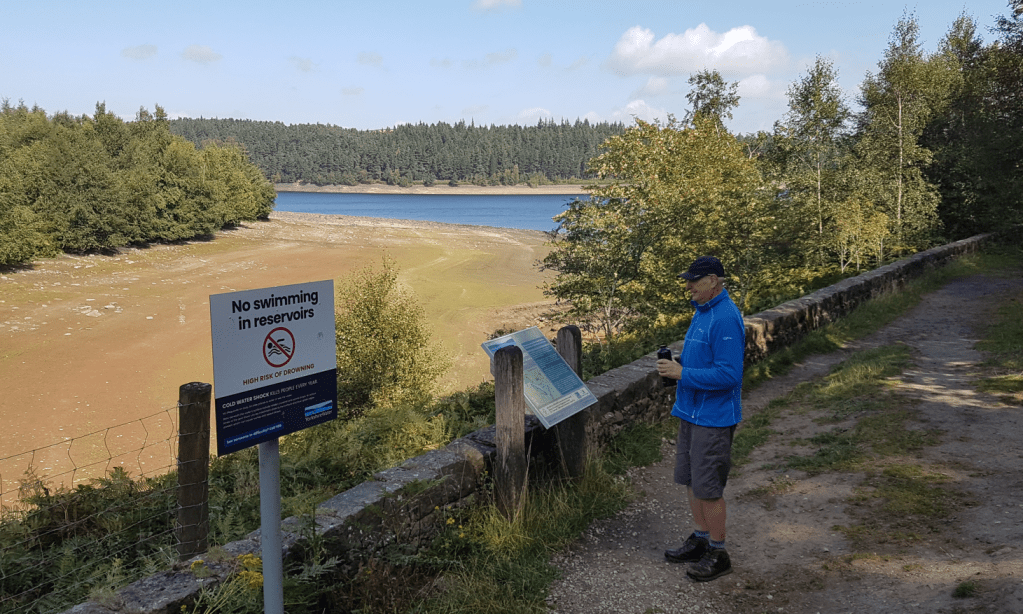
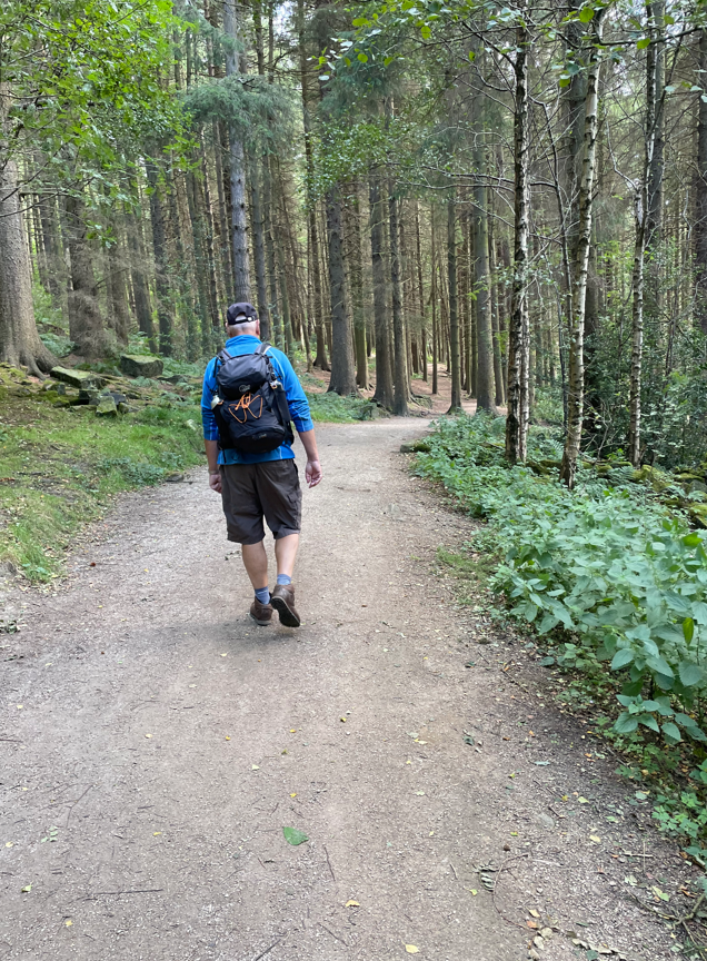
Todays 7- mile walk took myself and Angela back into the Peak District to enjoy a circular walk around Langsett and Midhope reservoirs. It was a walk that I had been wanting to do for a while so it was good to get the opportunity today.
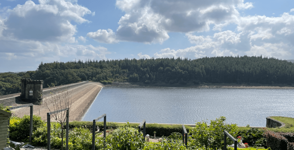
The reservoirs were built in 1895 to serve the towns of Sheffield and Barnsley and are owned today by Yorkshire Water. Langsett reservoir is a popular beauty spot with a large free car park, toilets and close to a pub and café.
Arriving fairly early there was plenty of parking available at the car park. We set off crossing the dam at Langsett reservoir. It was looking hopeful for an improving weather forecast after a few spots of rain greeted us on arrival. The water level in the reservoir was down from its maximum level.
The dam at Langsett reservoir
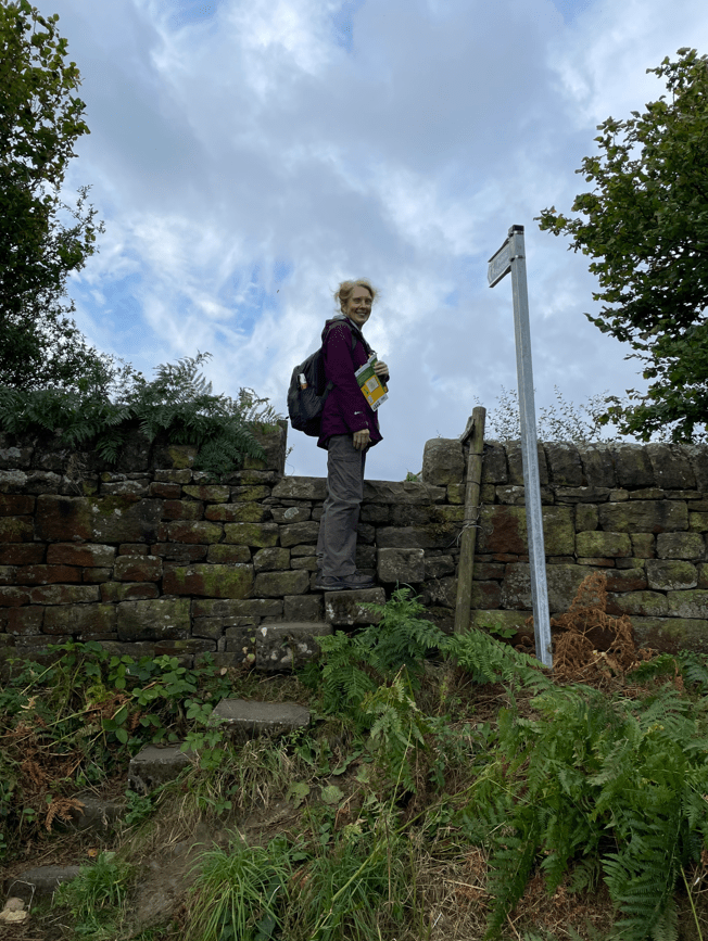
After crossing the dam we followed our route across fields, skirting Cliff Wood, to eventually head uphill and a high point above Midhope reservoir.
Crossing a stile
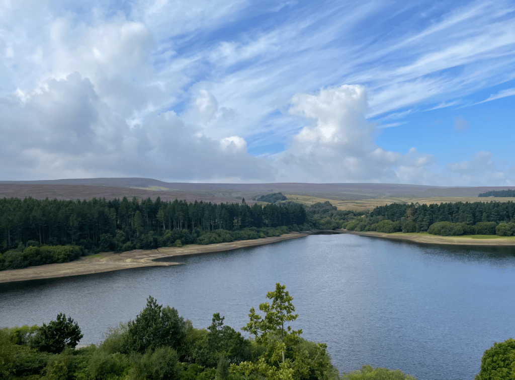
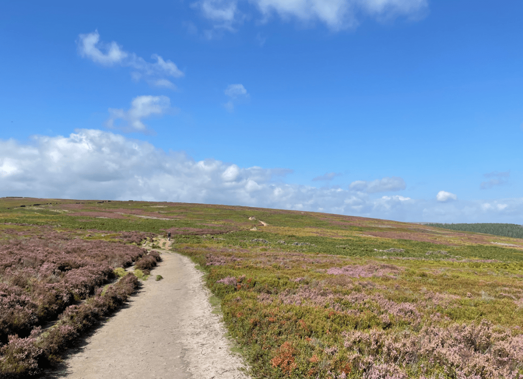
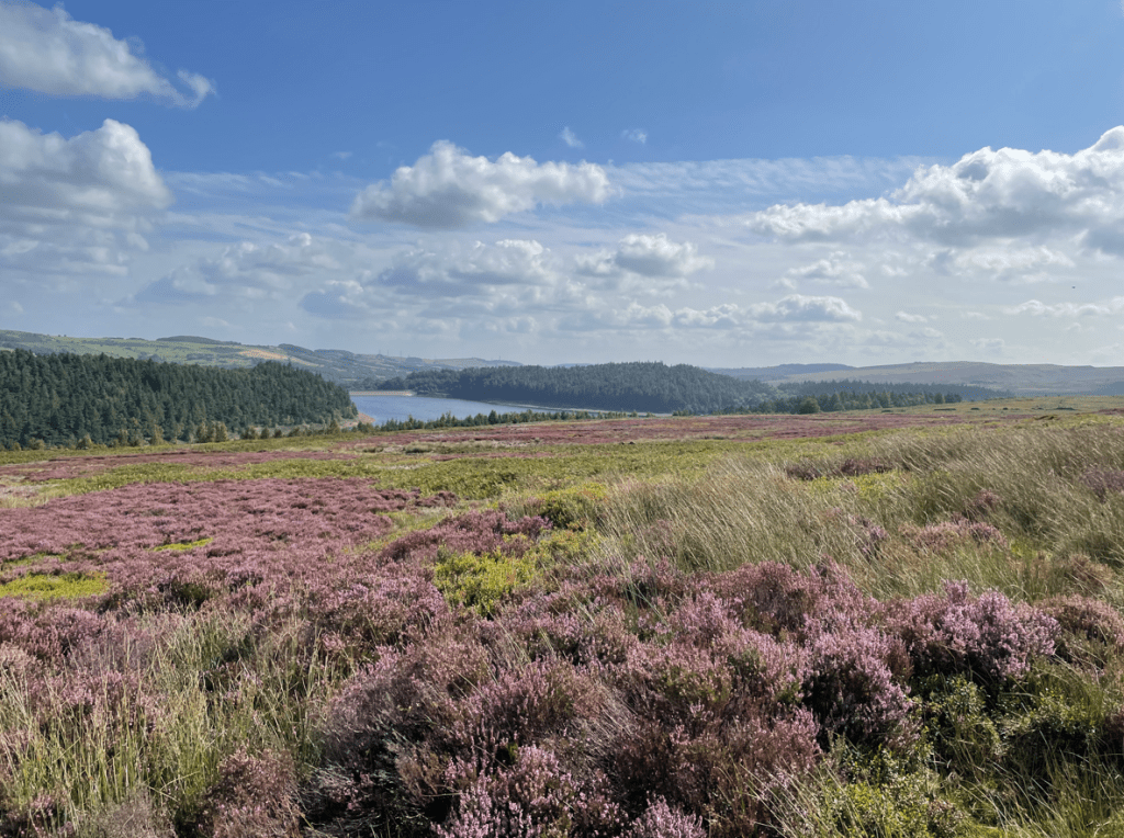
We had a lovely view of Midhope reservoir as we traversed Edge cliff, pausing for a cuppa and butty while enjoying the vista. We could see the purple heather on the rolling hills in the distance- stunning!
Midhope reservoir
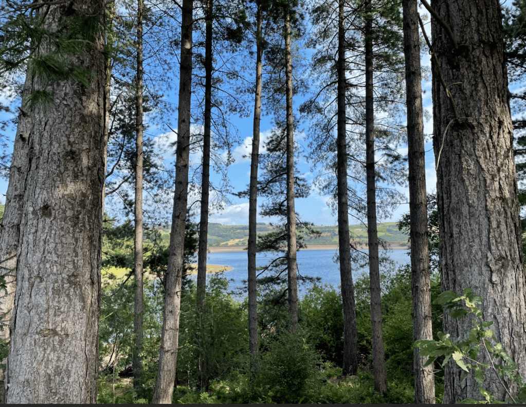
Descending from Edge cliff we found the path rich in little froglets roaming about so we were careful where we placed our feet. Our route now took us along a quiet lane where we could glimpse the reservoir through the trees.
Midhope reservoir
Soon we were heading to Langsett reservoir and we paused by the side of it, at a handy bench, for a drink.
Arriving at Langsett reservoir
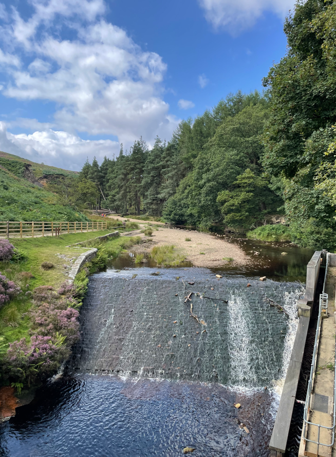
A path took us across a bridge over Thickwoods brook before heading uphill on a very rough stony path leading to Hingcliff Common.
Thickwoods Brook
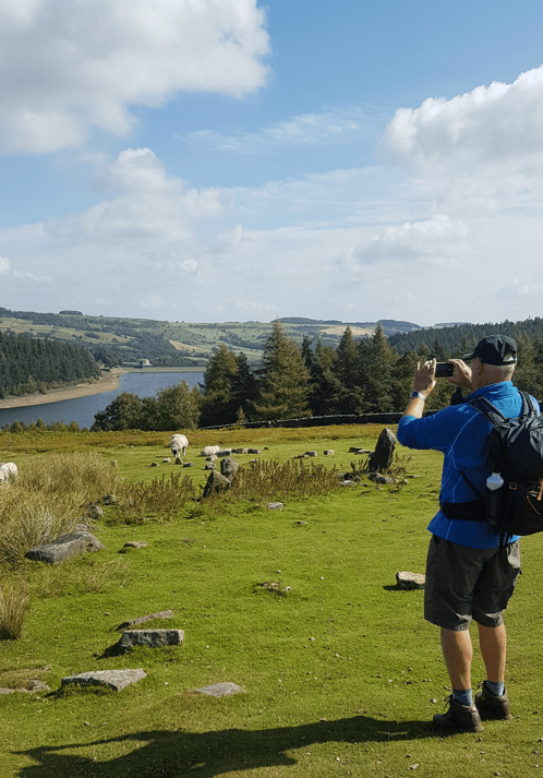
After a steep climb the path was much improved and the view opened up. Further on, we had nice views across the purple heather to Langsett reservoir.
Hingcliff CommonAngela captured me taking a photoLangsett reservoir
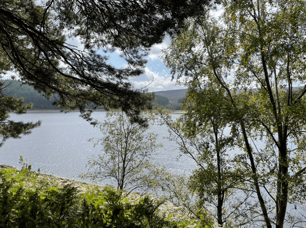
Reaching the far end of the reservoir we descended and followed a path through the woods running along side the reservoir, getting glimpses of the reservoir glinting in the sunshine below.
The path through the woodsView of Langsett reservoir from the path
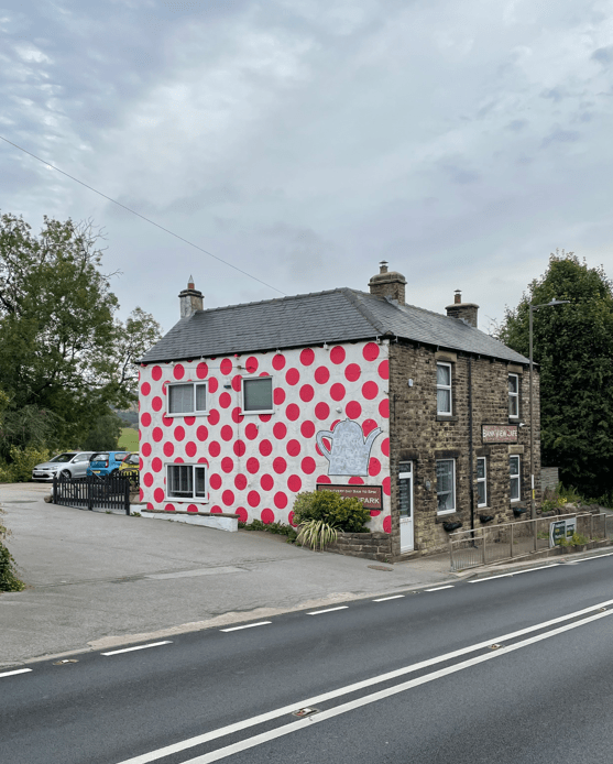
Arriving back at the car park we decided to visit the café close to the car park. After crossing the busy A616 we enjoyed coffee and cake.
The nice cafeRefreshed after coffee and cake
It had been a lovely walk and the weather had been kind.