Hello and welcome back to my blog 😊.
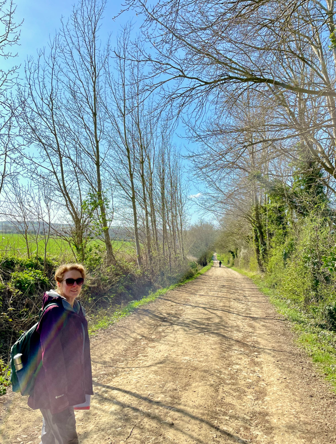
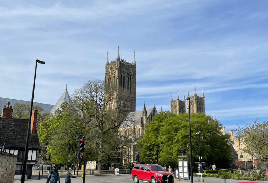
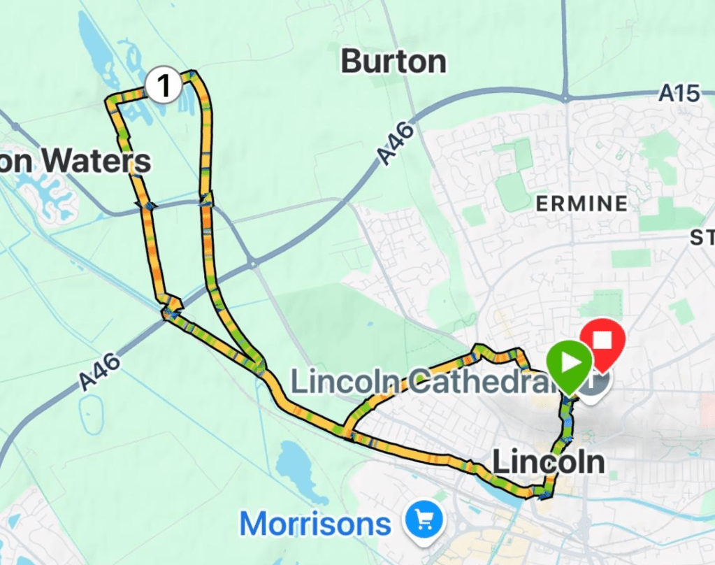
Today myself and Mick enjoyed a lovely 8-mile circular walk starting beside the magnificent Lincoln Cathedral, along the Fossdyke Navigation and then back up the famous Steep Hill to the Cathedral.
Lincoln truly is a beautiful city, especially on a balmy sunny day. If you have never been its well worth a visit.
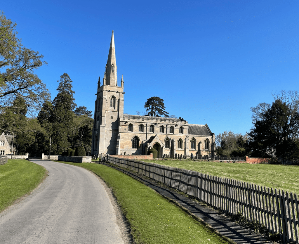
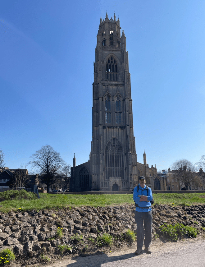
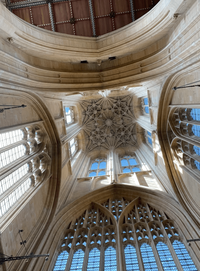
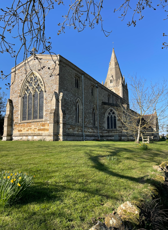
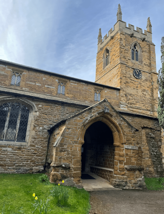
We parked in the Park and Ride car park and caught the bus to the Cathedral – a 5 minute journey. After getting off the bus we headed towards the Cathedral. Built in 1072 the Cathedral is one of the finest examples of Gothic architecture in all of Europe. An earthquake in 1185 almost totally destroyed the original Norman Cathedral and it was rebuilt in gothic style between 1192 and 1280.

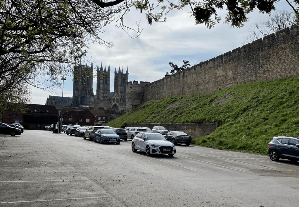
Leaving the grounds of the Cathedral we walked along Bailgate and then turned into Westgate passing the walls of Lincoln castle.
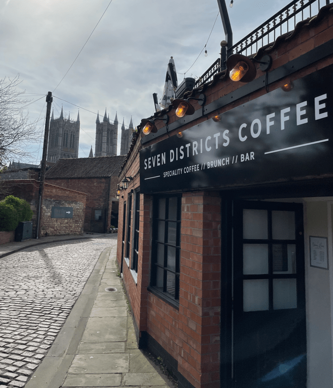
I popped into a Seven Districts coffee shop to get a Latte take-away- it was very good coffee. The company is a speciality coffee roaster within the seven districts of Lincolnshire and operate a number of coffee shops.
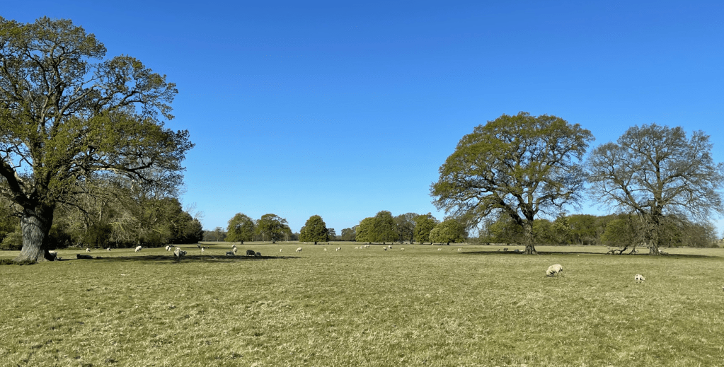
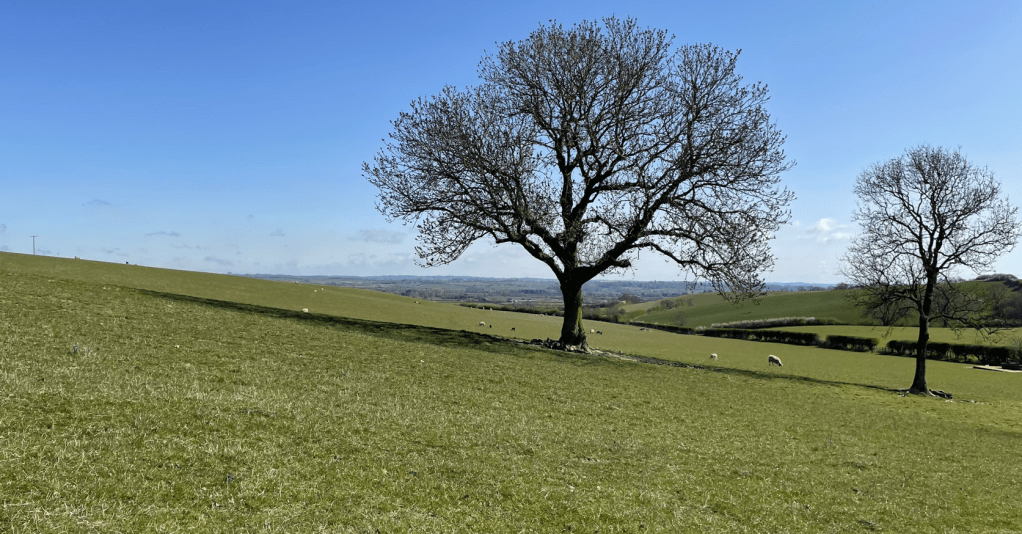
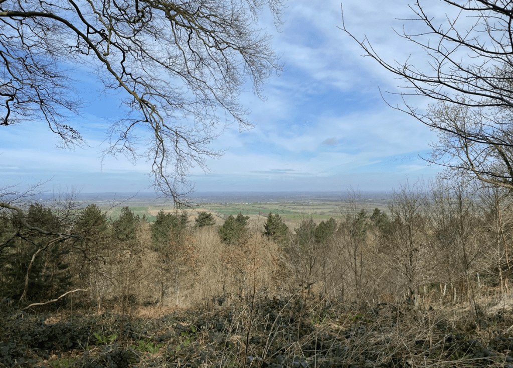
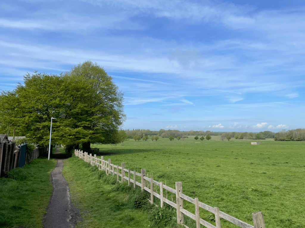
After a short walk we reached Aldermans Walk along the edge of West Common. Amazing that houses have not been built here and that’s its being kept as a green space.
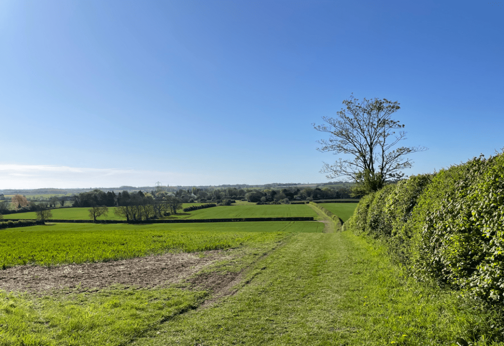
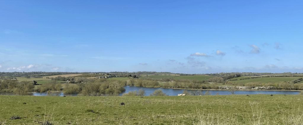
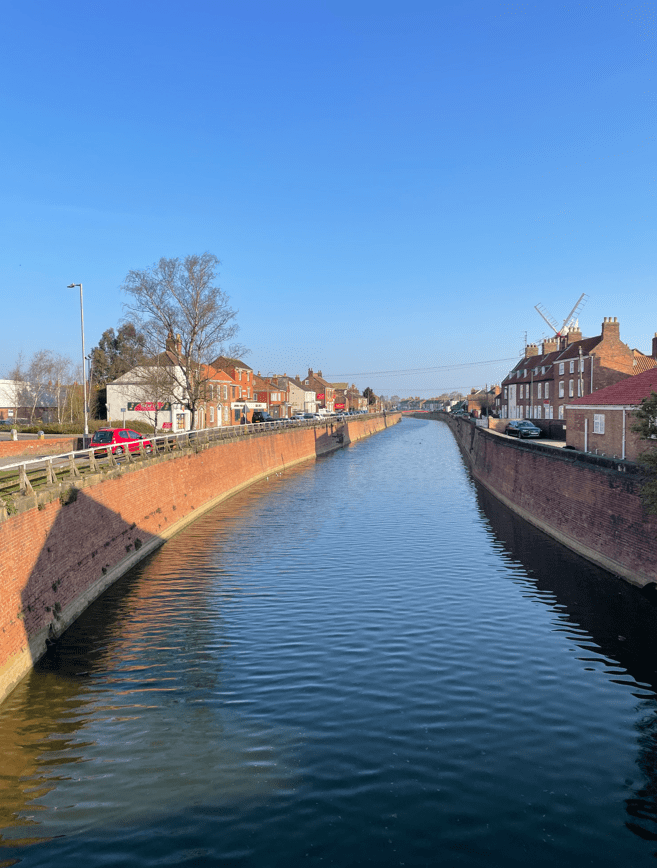
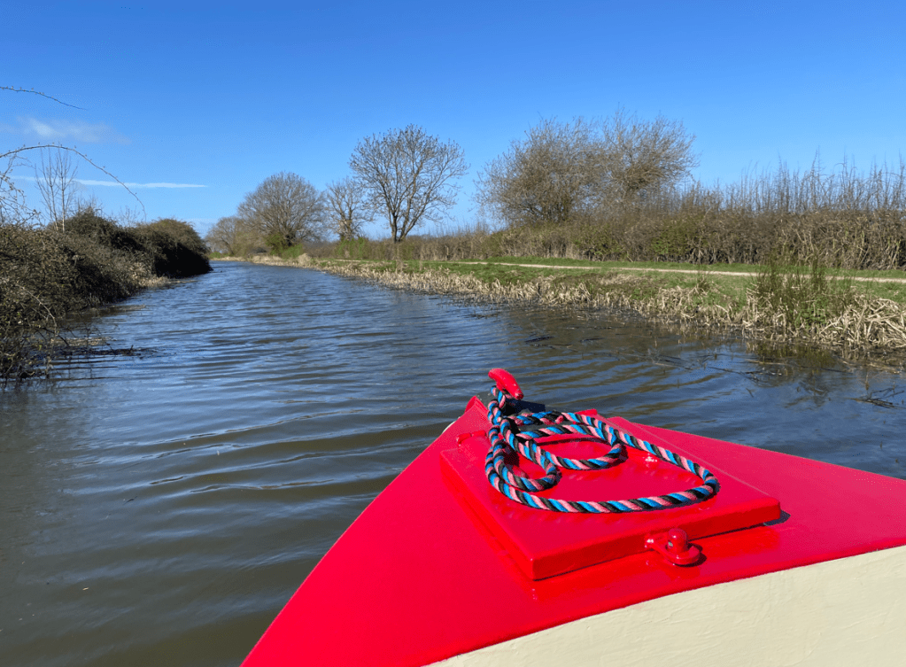
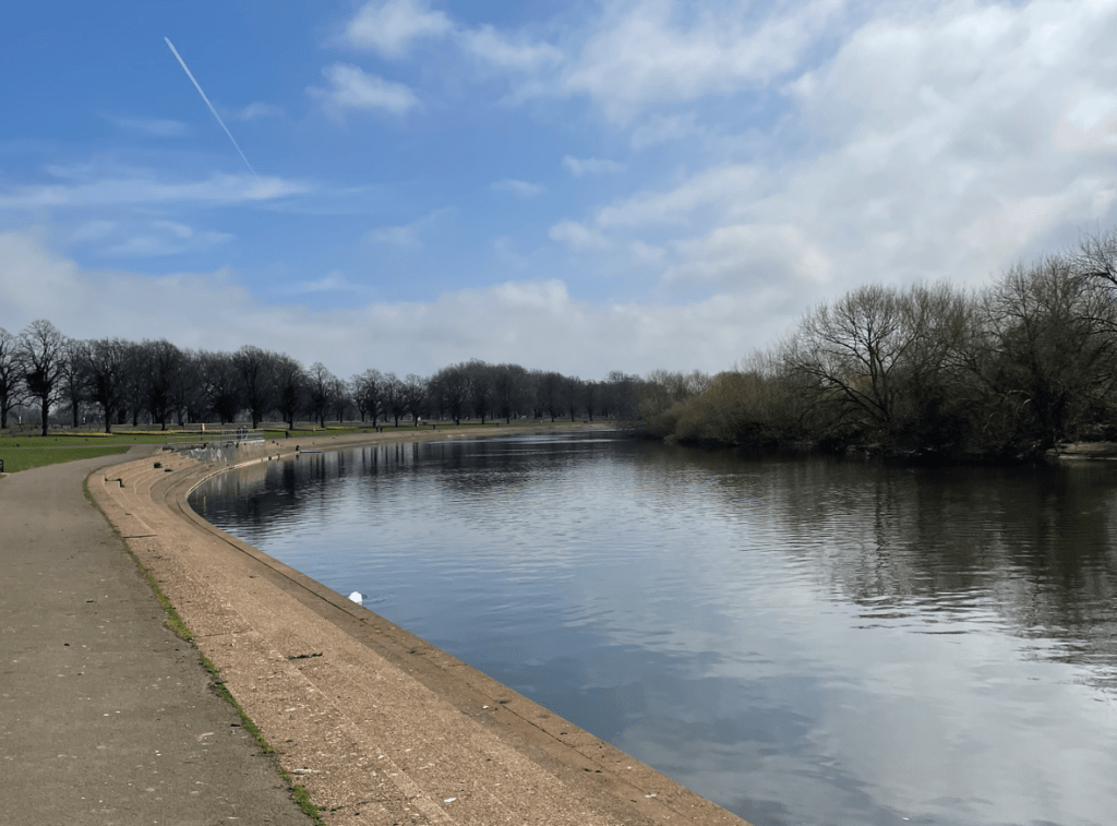
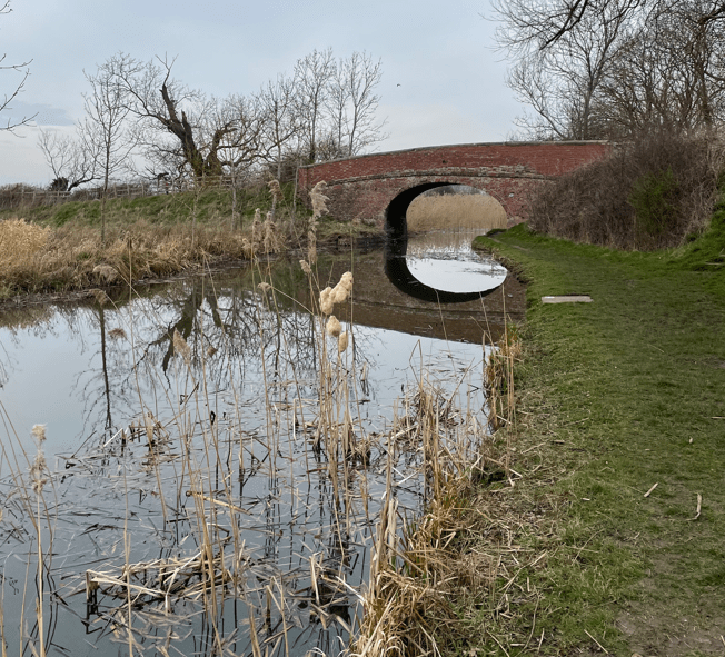
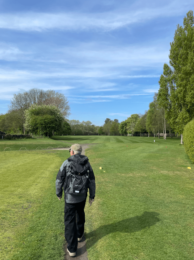
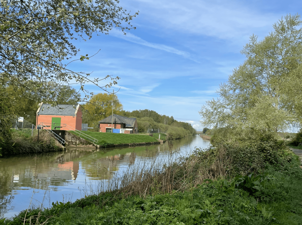
We then walked beside Carholme golf course to reach the Fossdyke Navigation.
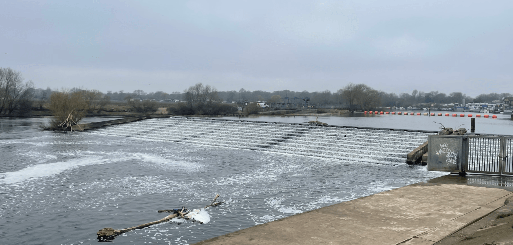
Lincoln was founded as a fortress, and later a city, by the Romans at the point where the river Witham cuts through the limestone ridge of Lincoln Edge. The Fossdyke can claim to be the oldest canal in the country as it was originally cut by the Romans around AD120 to link the river Witham at Lincoln with the river Trent. It is 11 miles in length. It was probably used to transport food from the rich farmland of the fens to feed the occupying Roman armies. Centuries later, the Normans used it for transporting stone to build their castles.
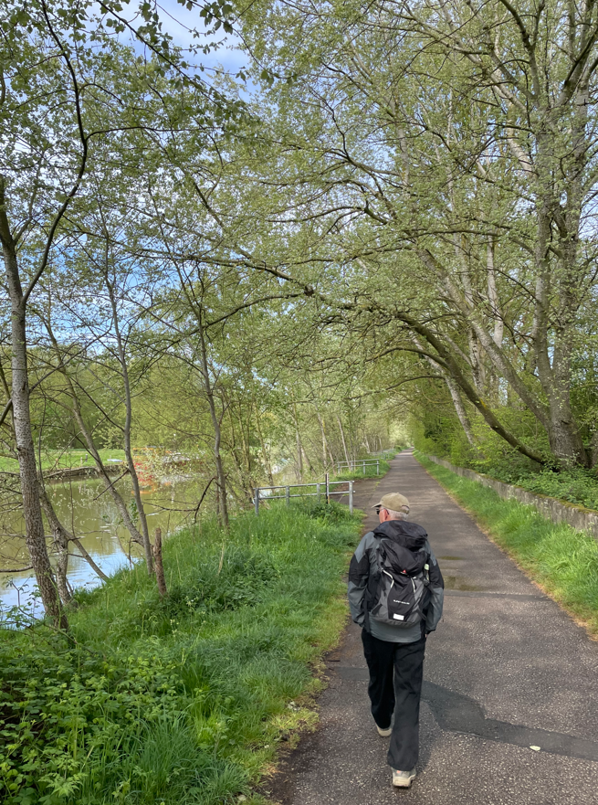
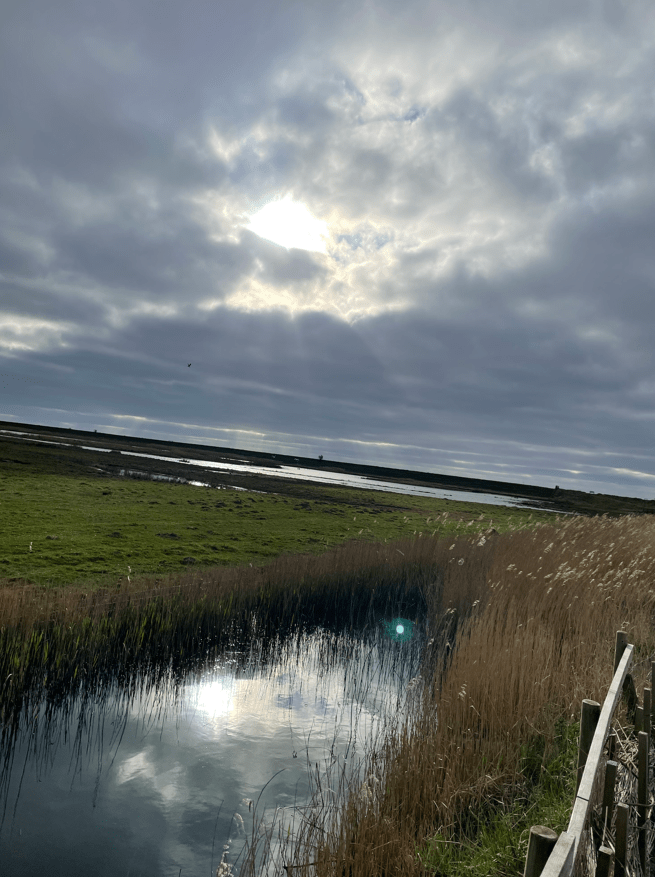
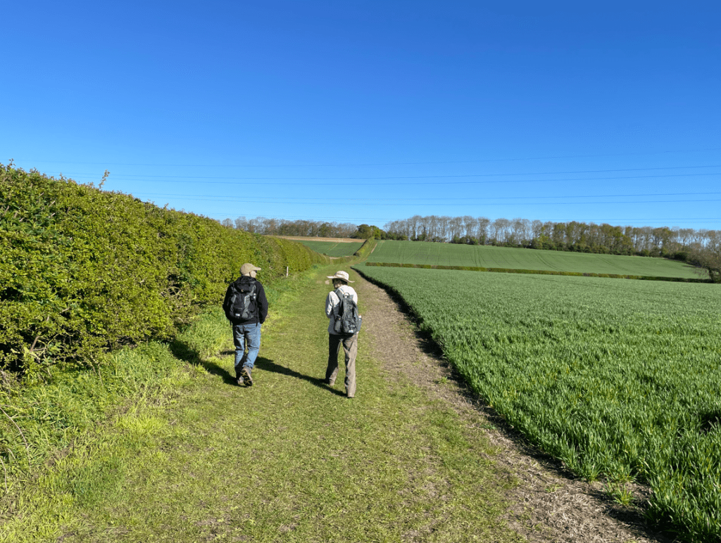
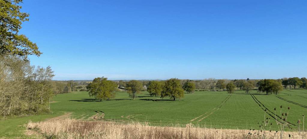
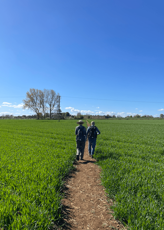
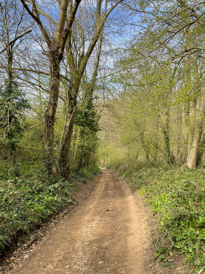
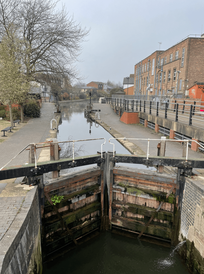
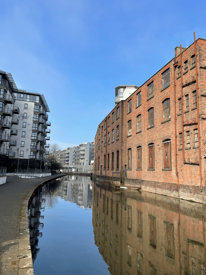
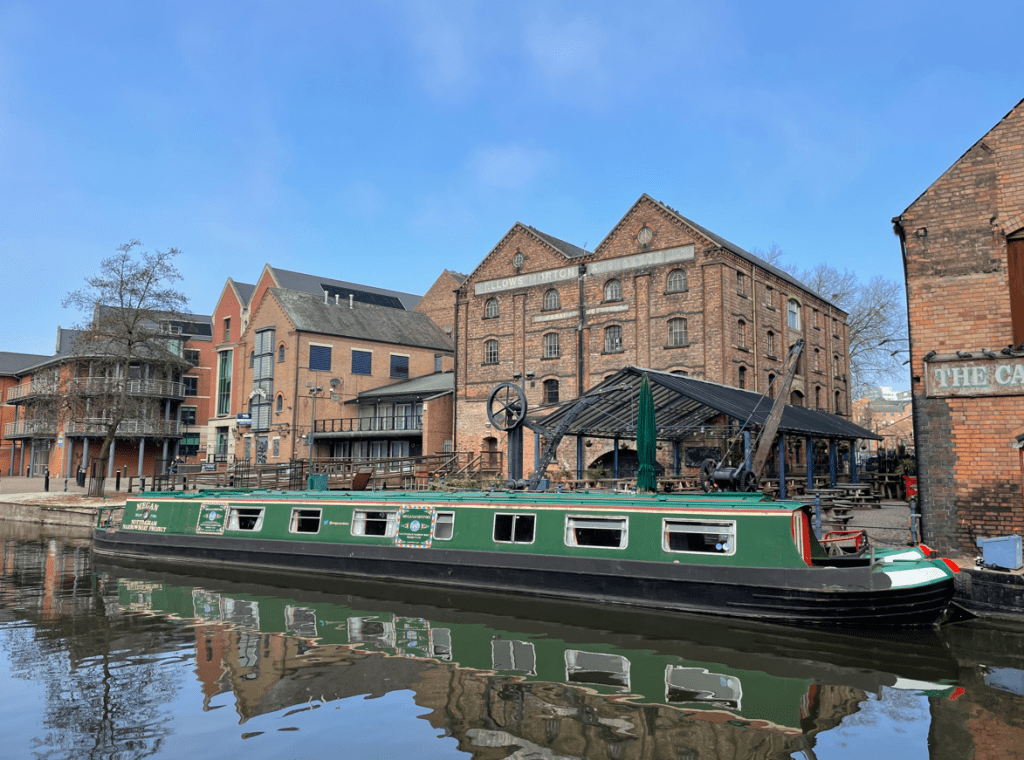
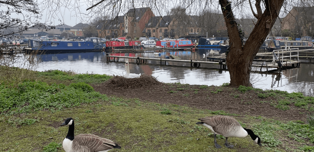
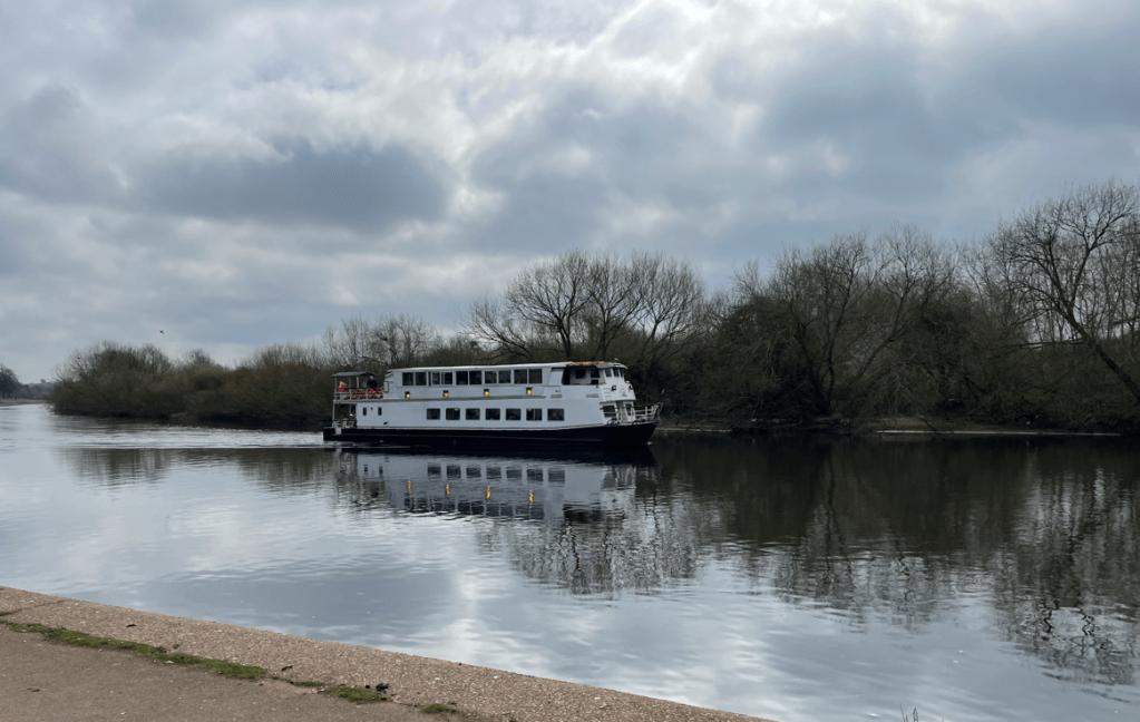
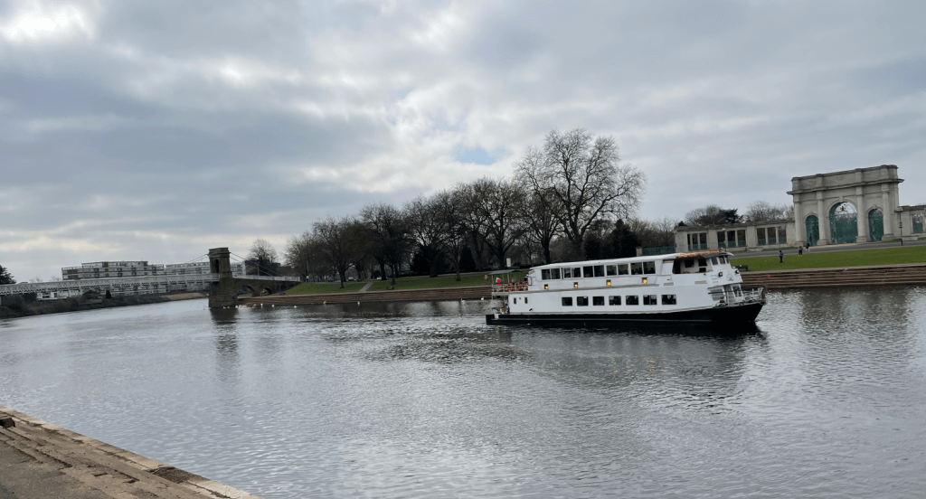
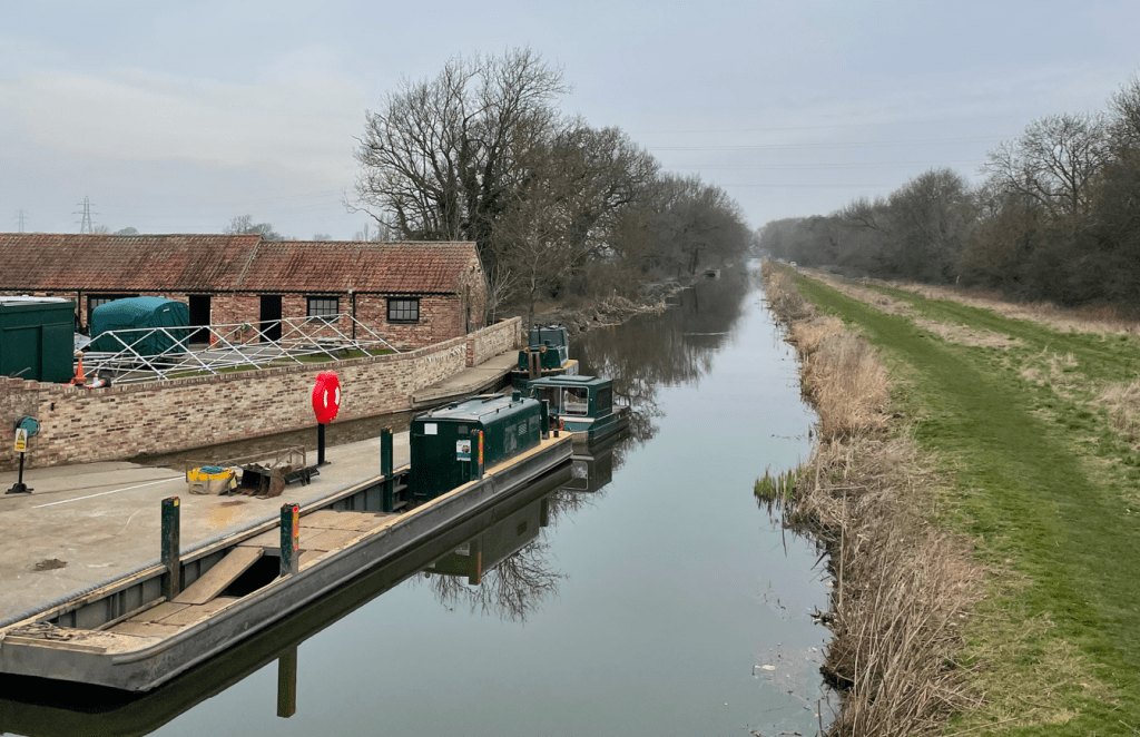
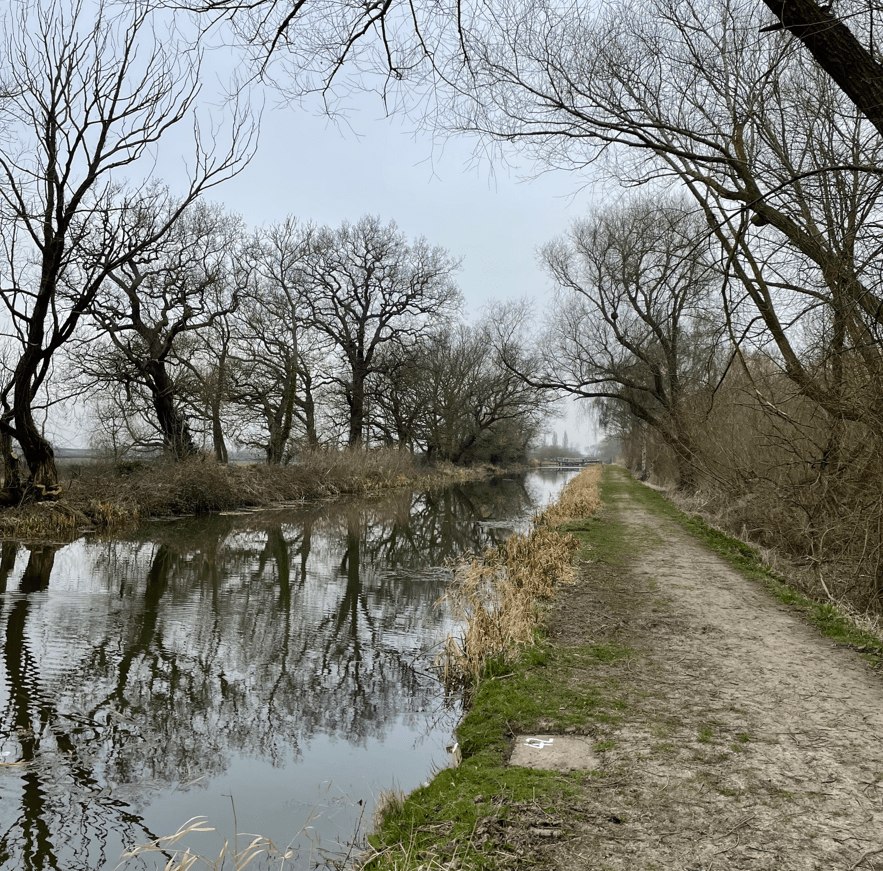
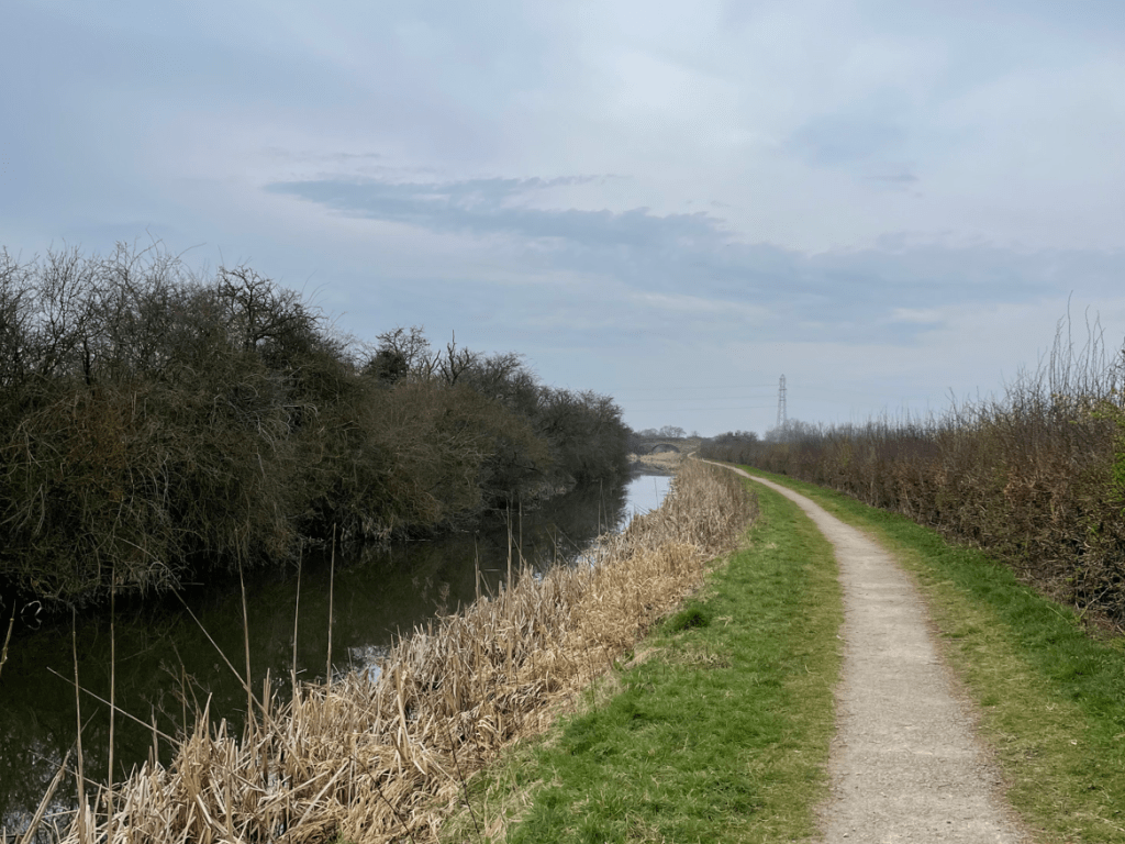
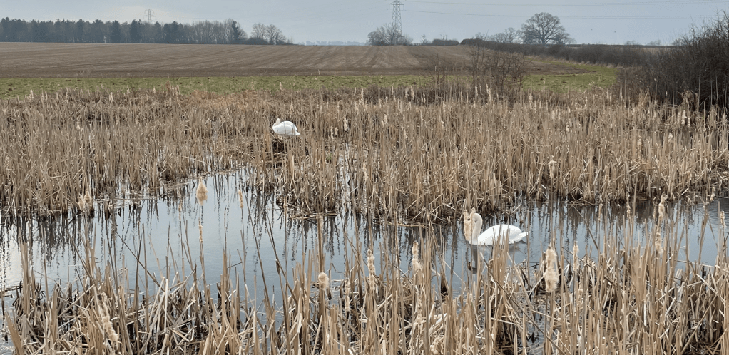
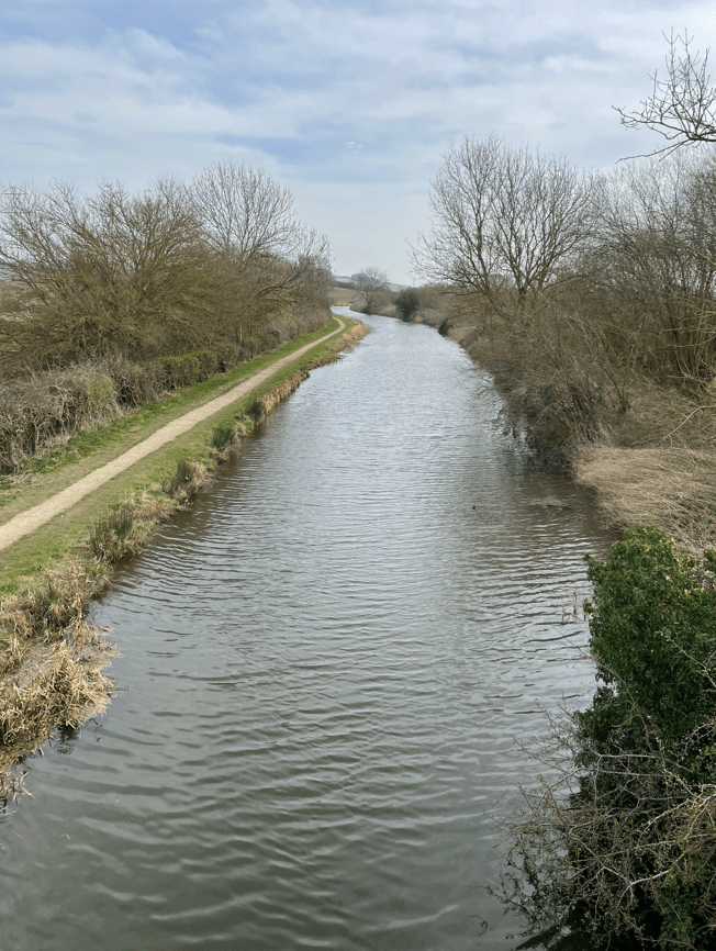
We enjoyed a pleasant walk along the side of the canal. There were quite a few boats moored up along the way – some had seen better days.

After a while there were no boats moored up as we were leaving the environs of the city. Further on we passed what looked a nice pub – The Pyewipe Inn. It had some large Tipis in the garden- I checked it out when I got home – they are for weddings.

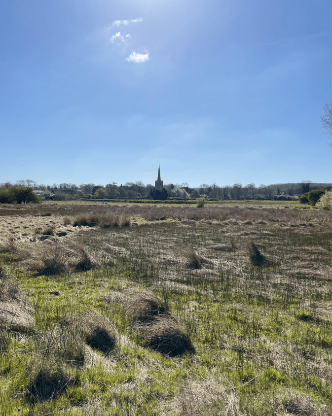
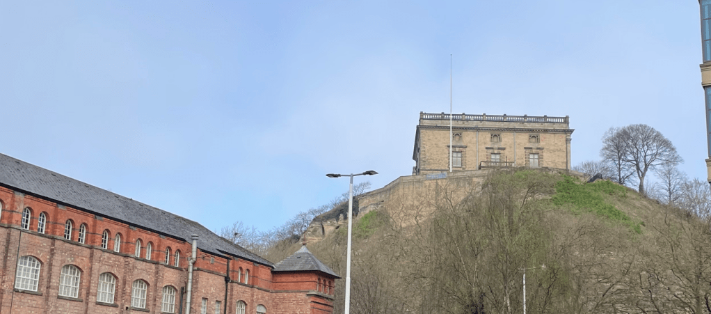
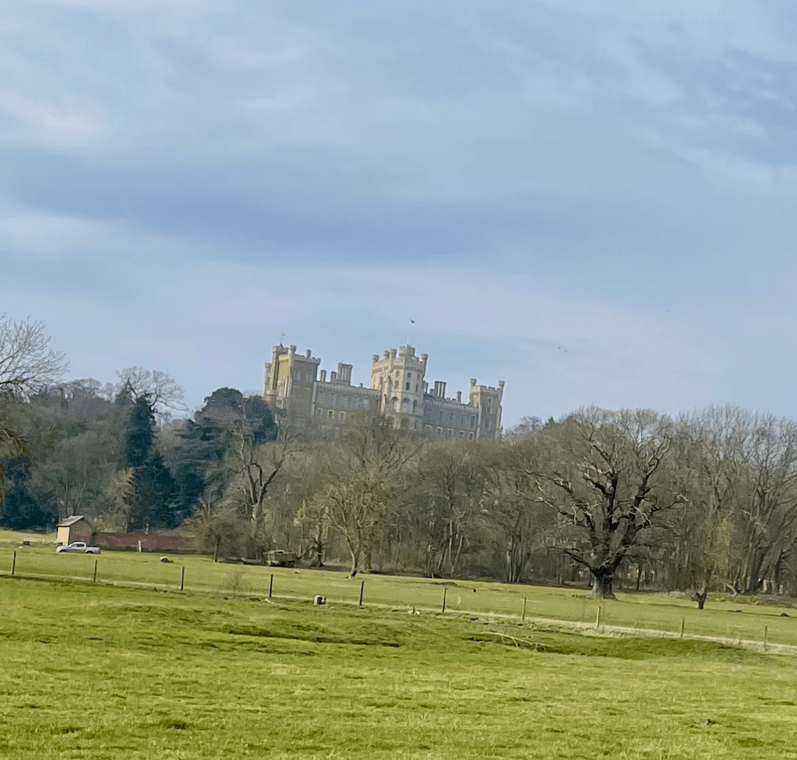
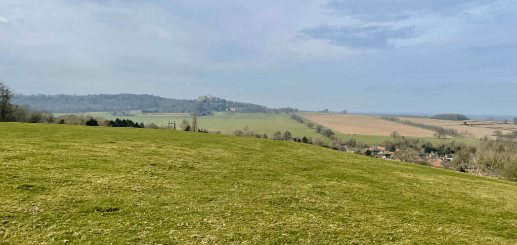
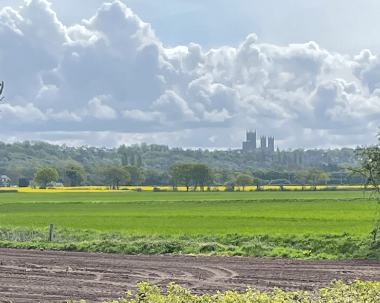
As we walked along, the Cathedral, high on its hill, dominated the surrounding areas.
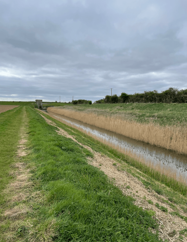
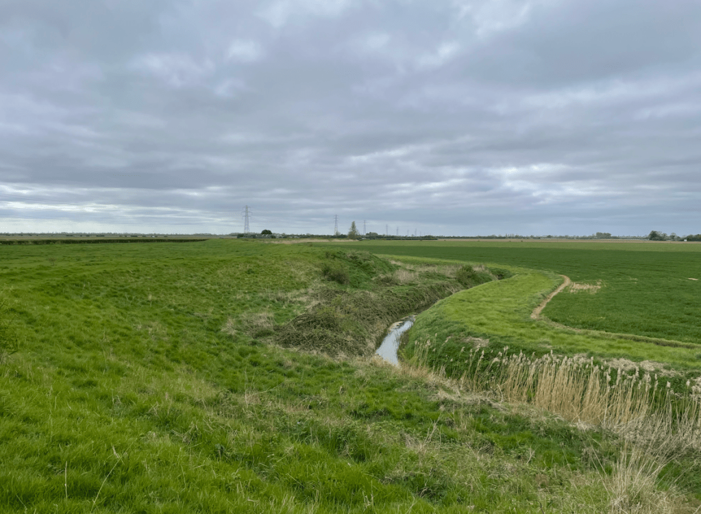
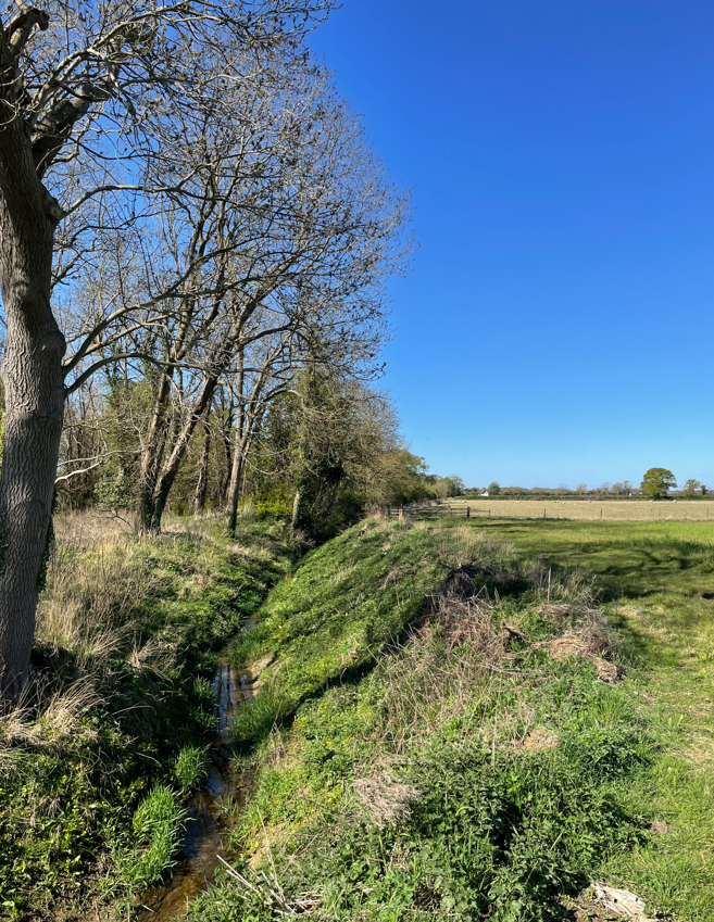
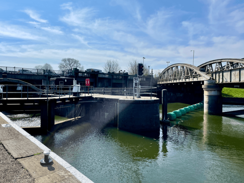
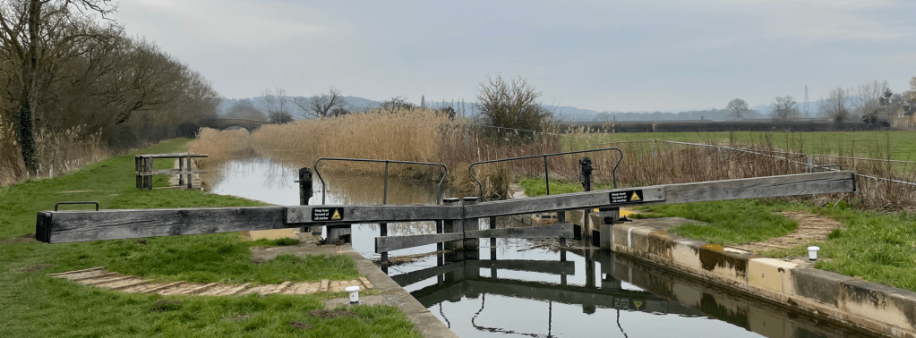
We reached our turnaround point and then followed Catchwater Drain back to join the Fossdyke once more.
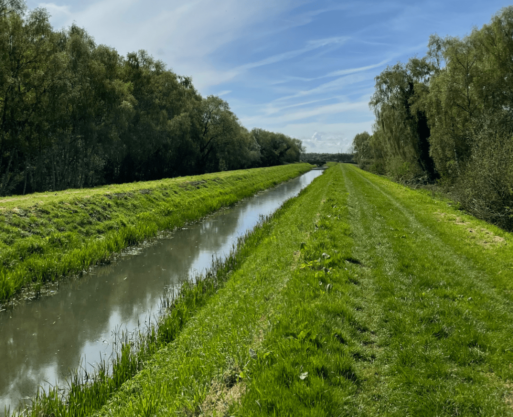
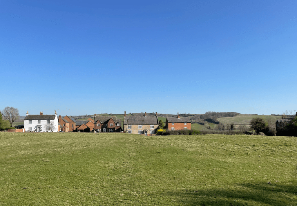
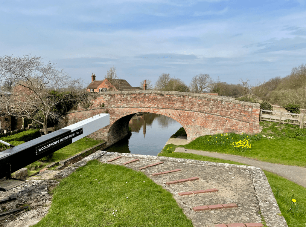
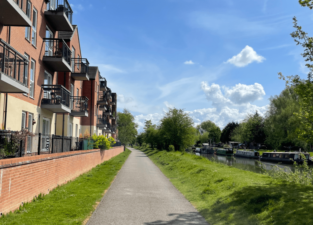
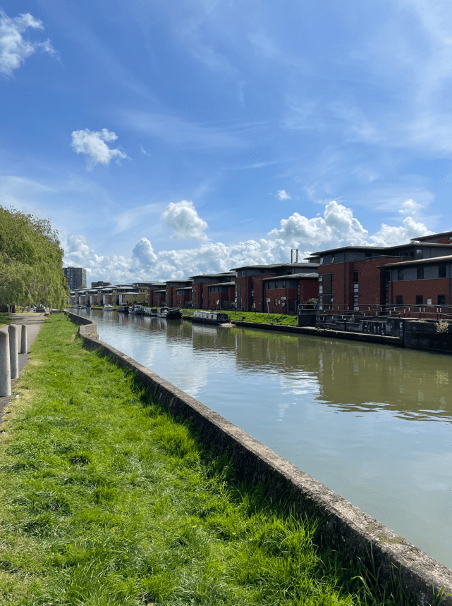
Dog walkers, cyclists and runners were all out enjoying the nice weather along the canal. Soon, we were arriving back into urban areas with nicely situated properties built beside the canal.
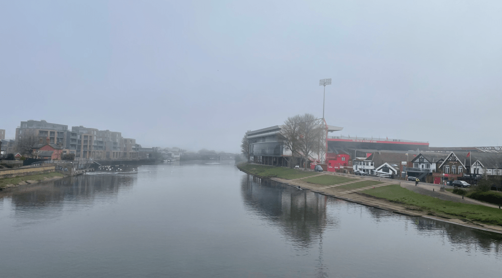
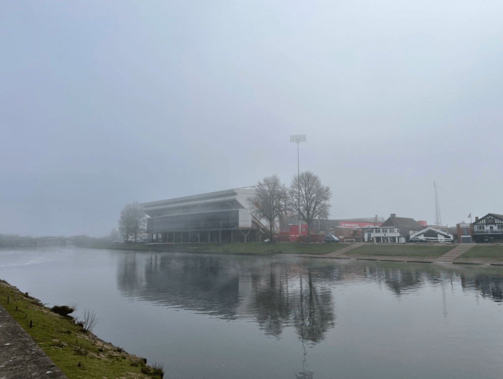
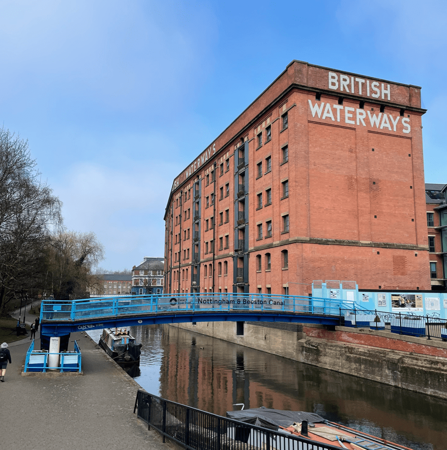
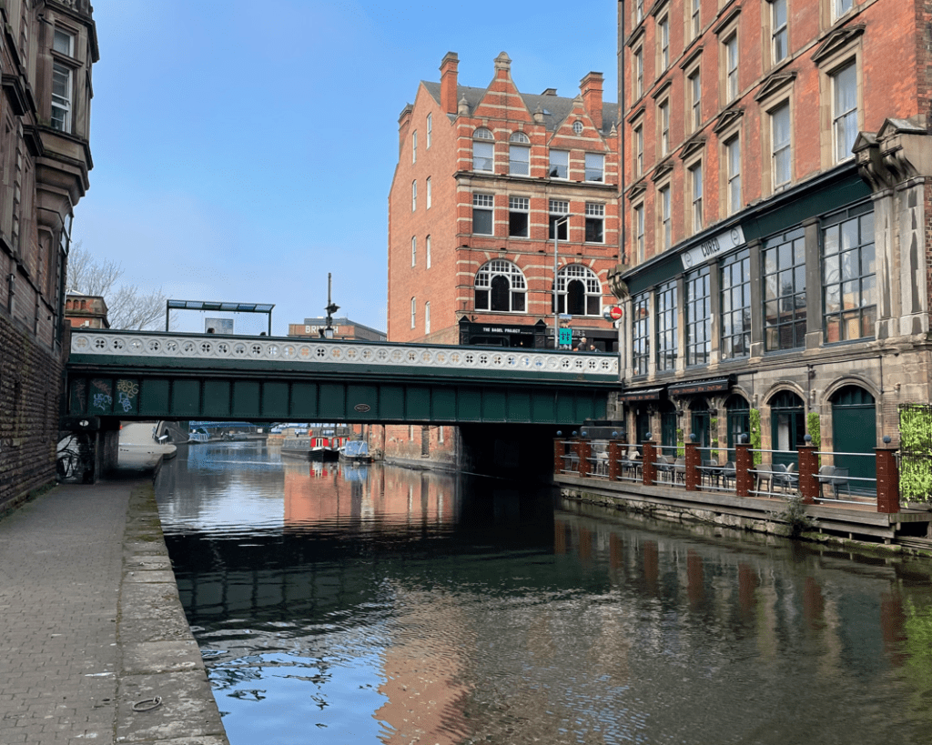
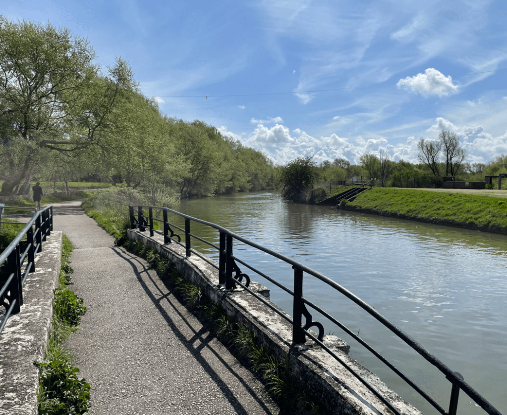
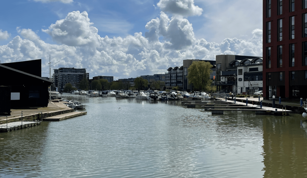
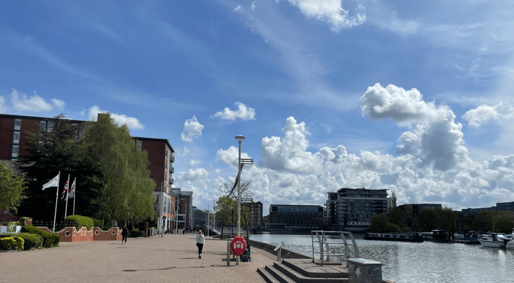
We reached Brayford Waterfront home to many restaurants, cafes and the University of Lincoln. It reminded me of Salford Quay in Manchester.
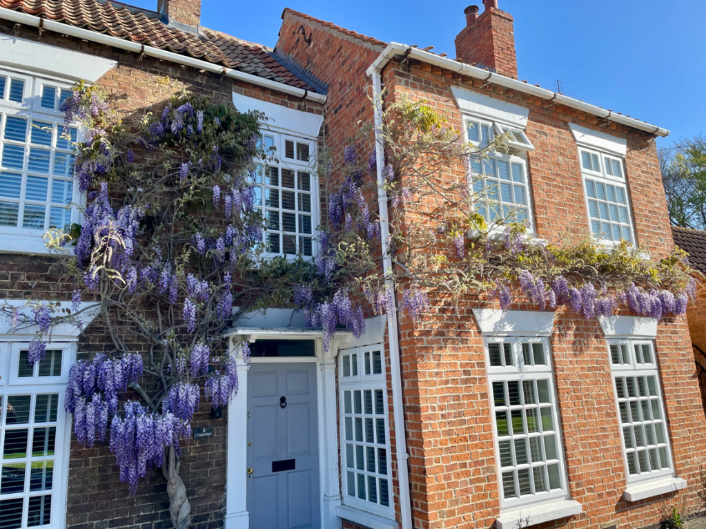
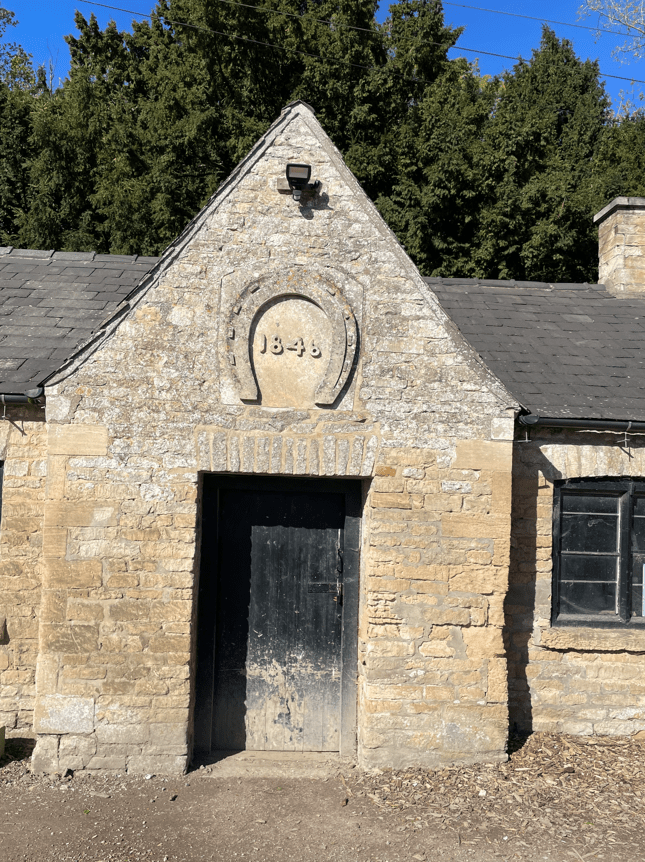
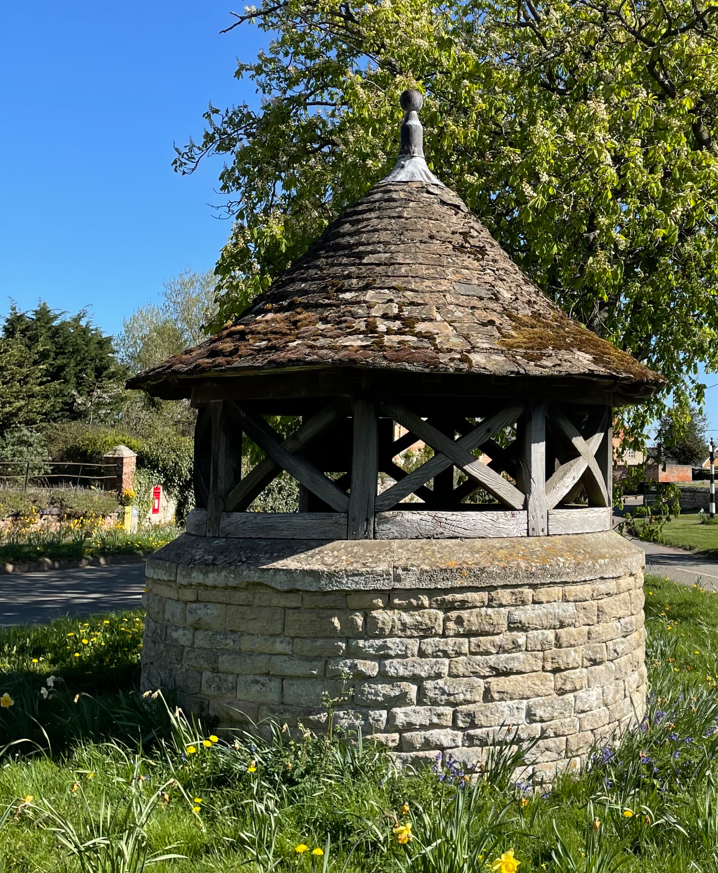
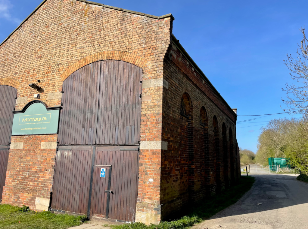
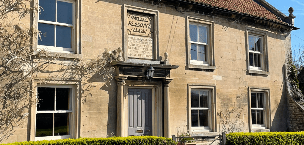
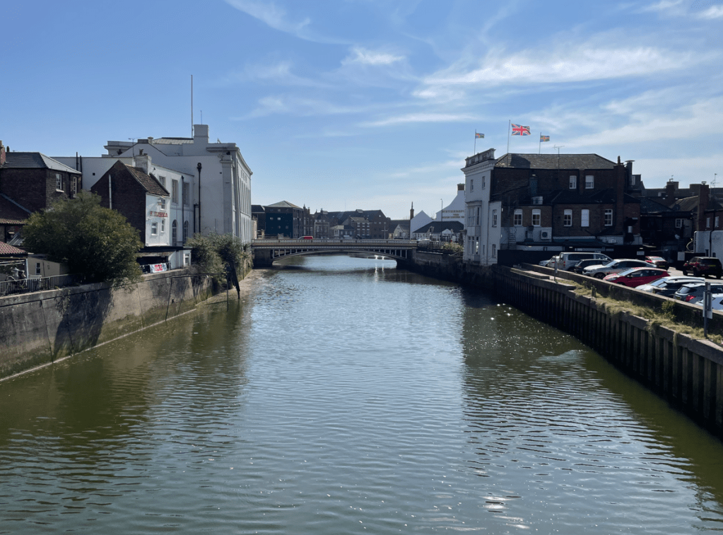
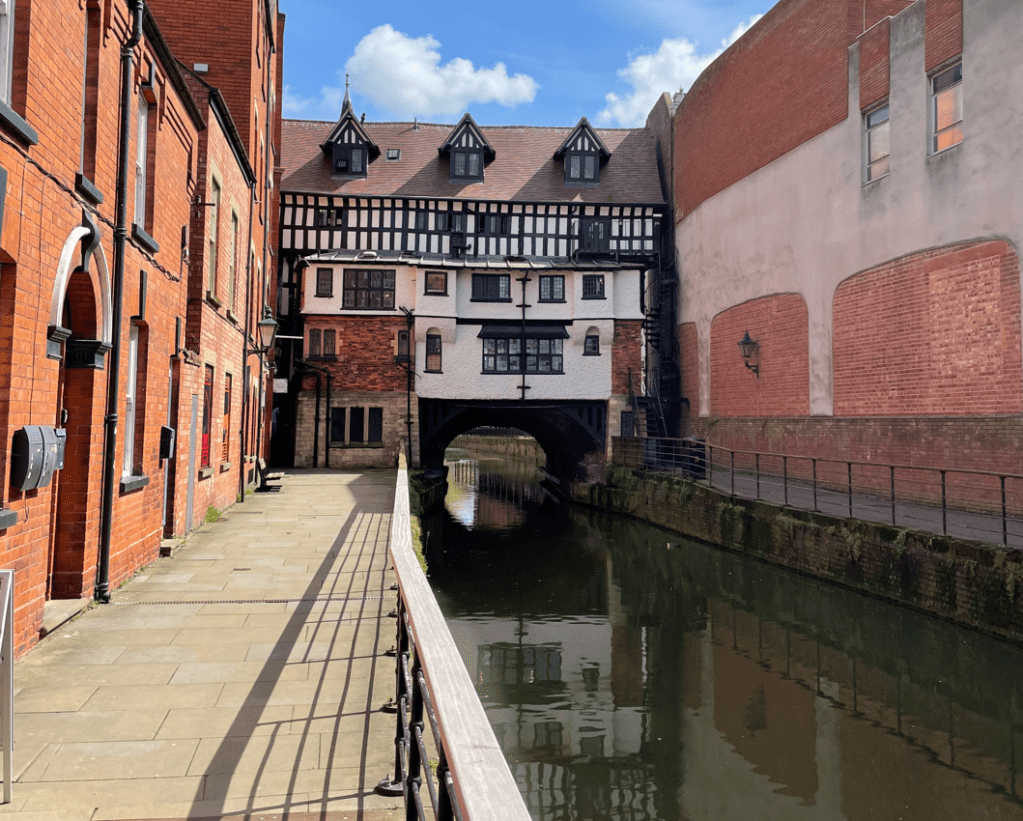
As we left Brayford Pool I spotted this curious property beside the river Witham.

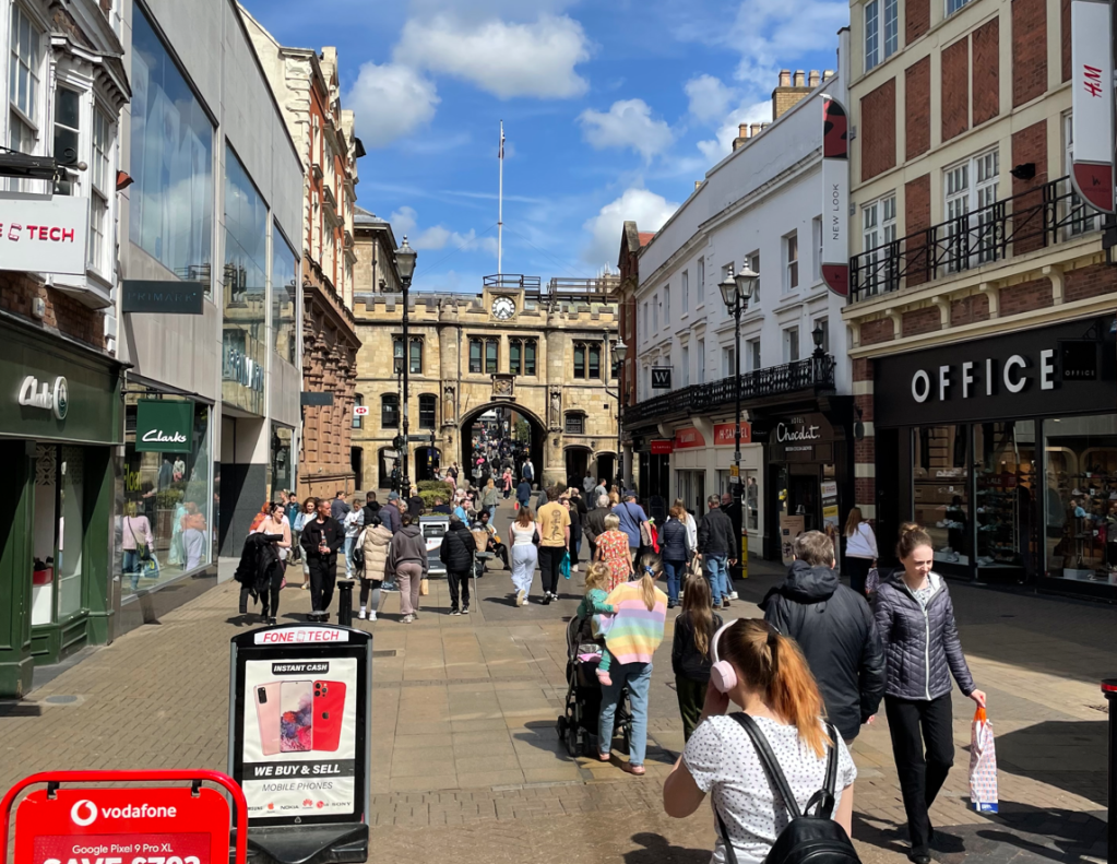
A short walk along the river and up some steps brought us to the busy high street.
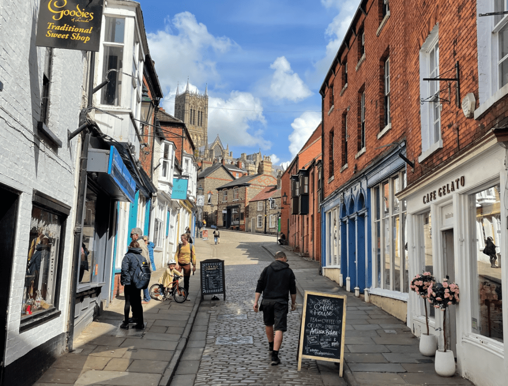
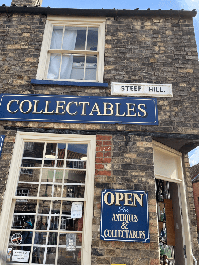
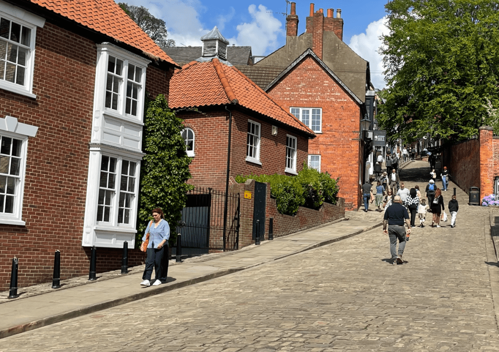
We were heading for Steep Hill, a cobbled street which is the fourth steepest in England. It is lined with quaint independent shops and restaurants. It is probably not what you need at the end of an 8-mile walk!
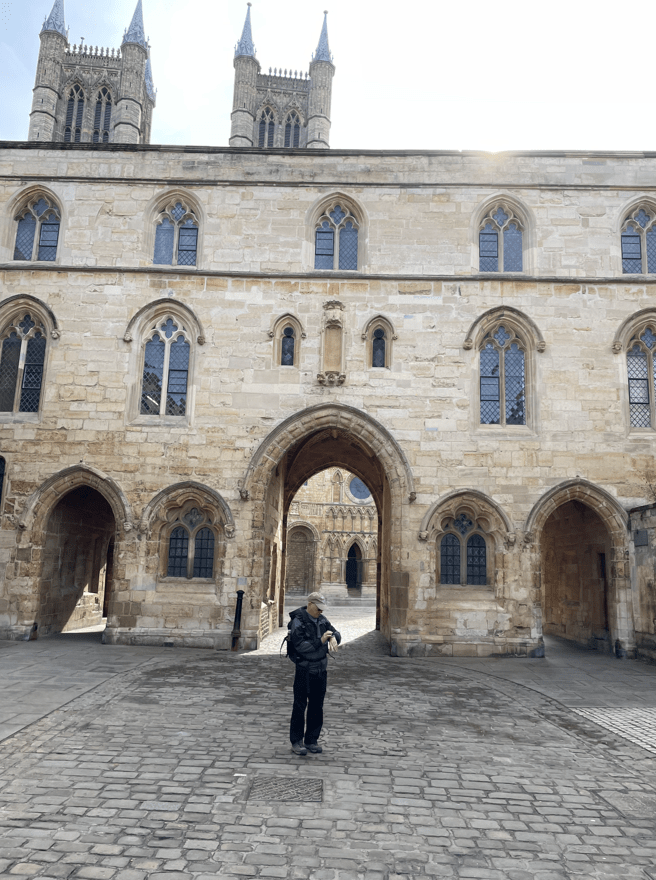
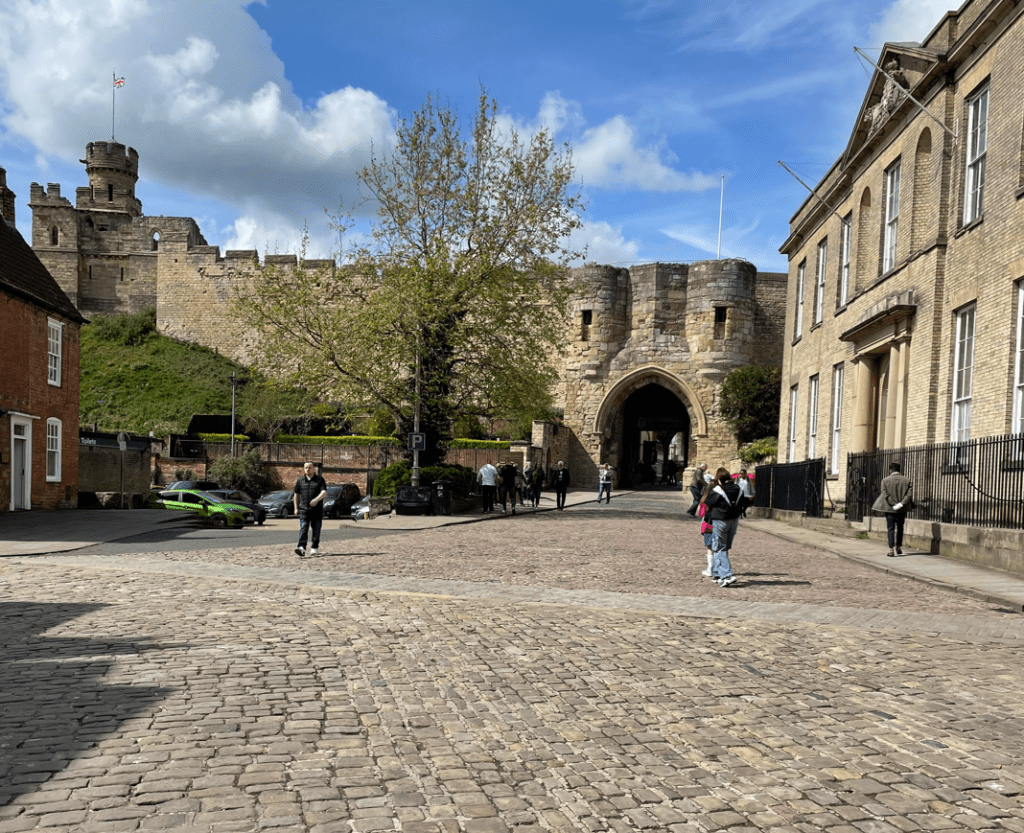
Arriving at the top of Steep Hill the entrance to Lincoln Castle was on our left and Lincoln Cathedral was to our right.

It was a short walk to the bus stop to pick up the bus back to the park and ride carpark.
It had been a walk of contrasts with some beautiful architecture along the way. A great day out. I hope that you enjoyed the blog?
Happy Walking! 😊🚶