Hello and welcome back to my Blog 😊.
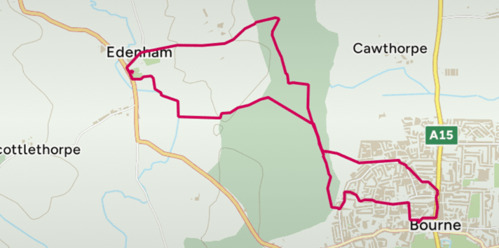
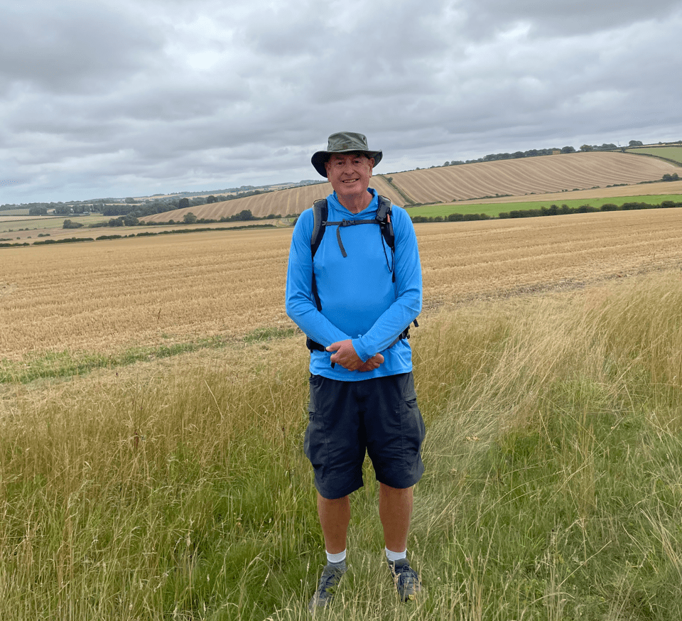
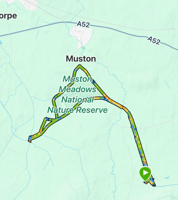
Today, Amigo Chris and I enjoyed a 8-mile circular walk from the Leicestershire village of Long Clawson. It was a cloudy day but good walking weather. Long Clawson is famous for its Stilton cheese by the way.
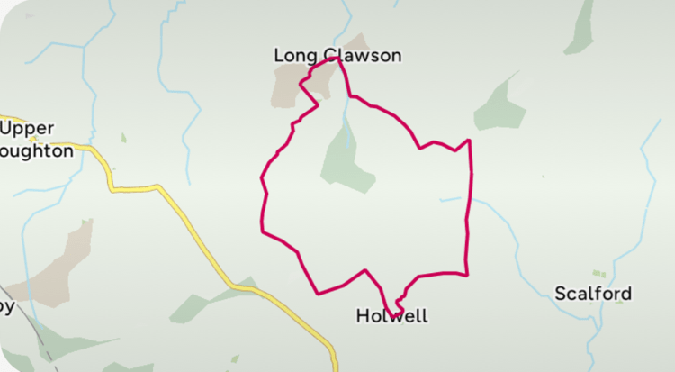
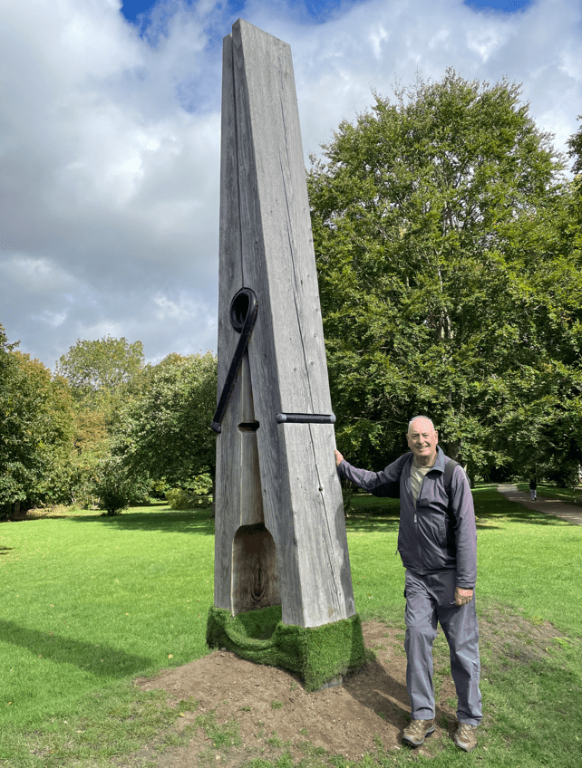
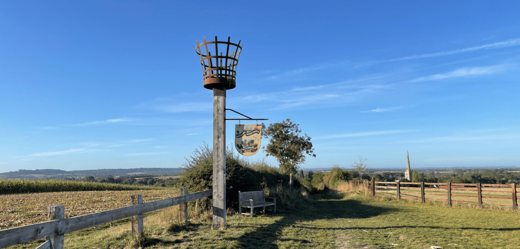
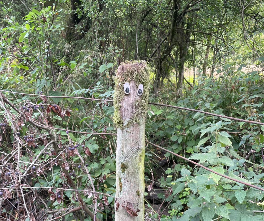
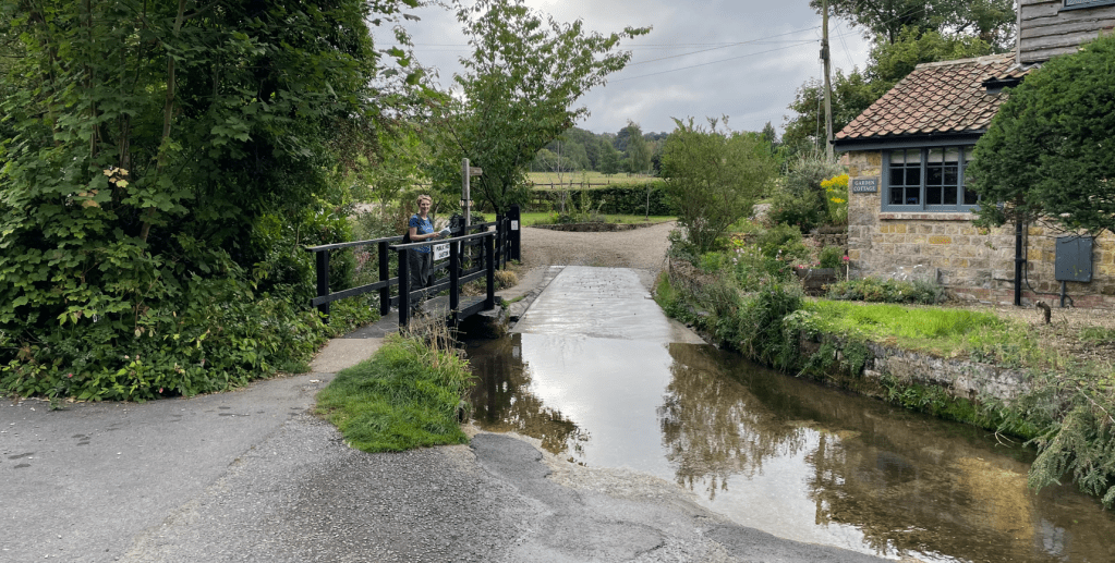
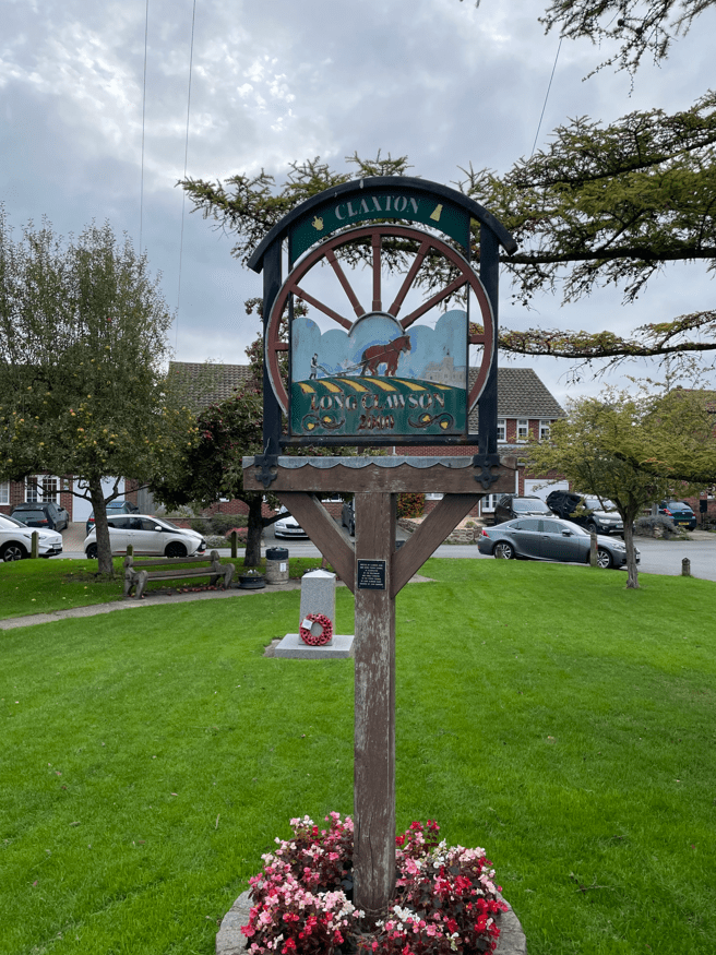
Chris had come across the walk on the OS map App and had found us a good parking spot in the village. There was going to be some uphill on the walk which would make a change. We set off passing the village green where I took time to check out the village sign.
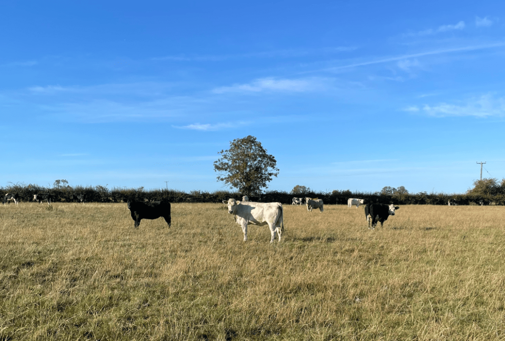
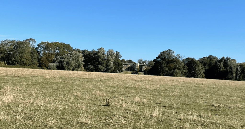
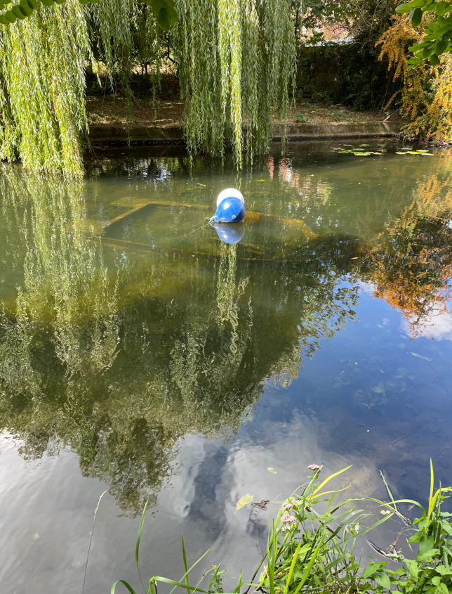
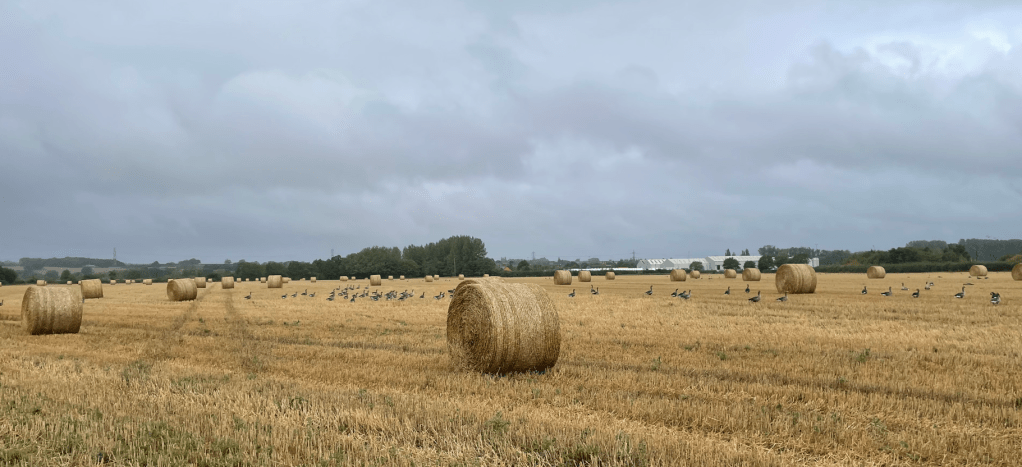
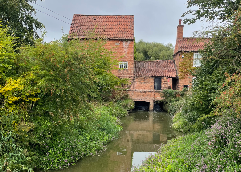
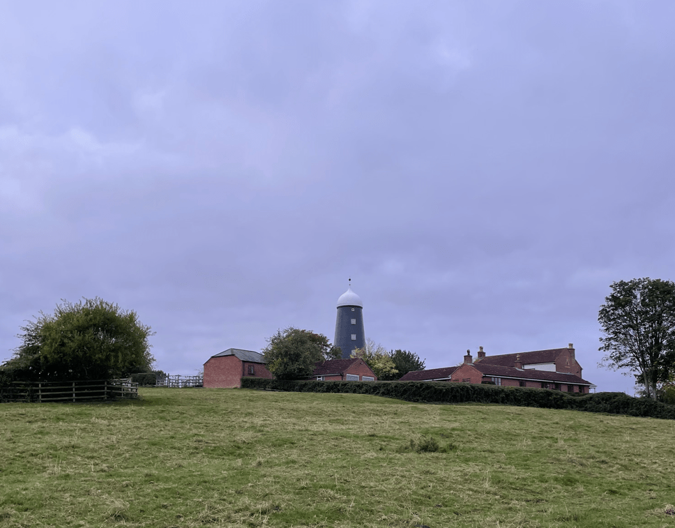
Crossing a field of cows we admired the former windmill on the hill. We crossed three fields of cows during the walk – no surprise given that the dairy is located in the village.
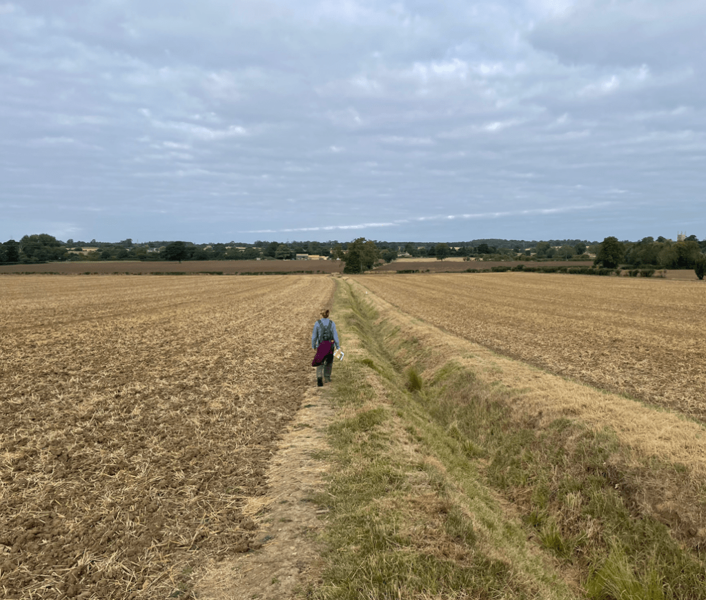
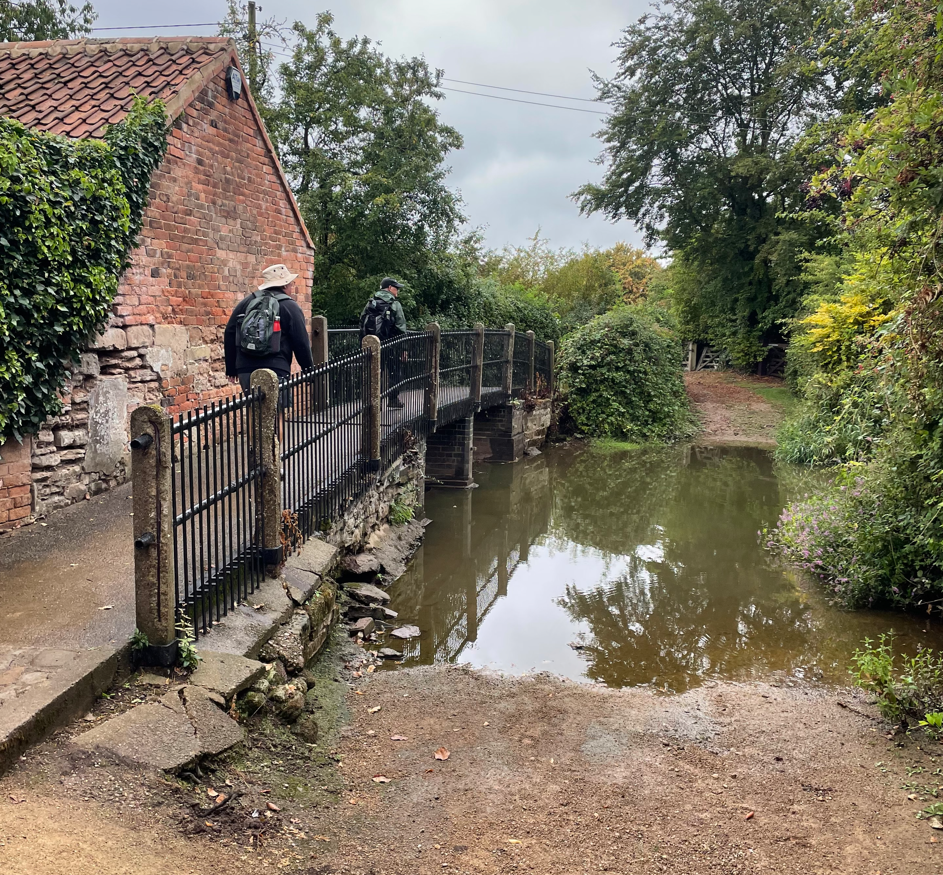
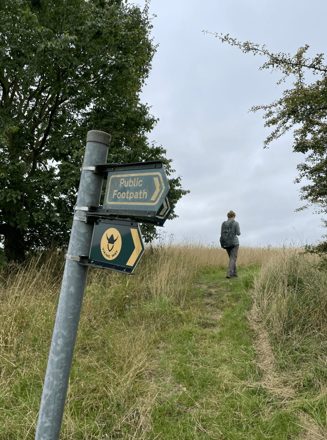
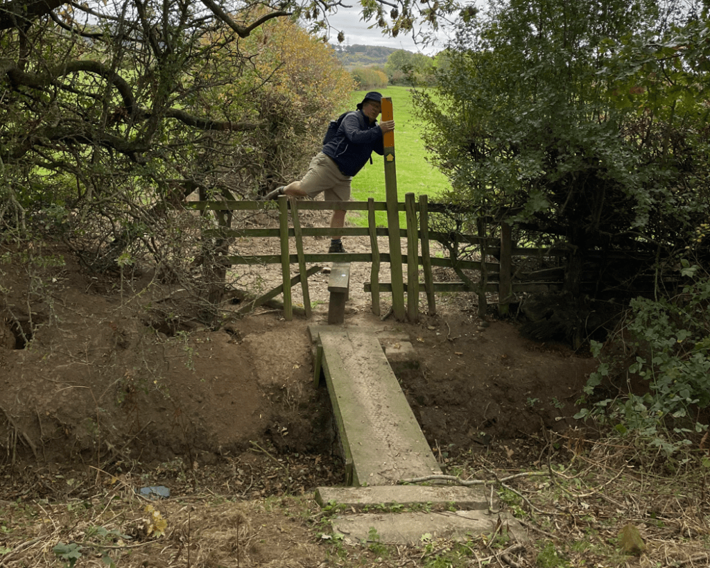
It would turn out to be a walk of multiple stile crossings – some were in perilous condition and made the walk ‘interesting’. We lost count of how many we crossed.
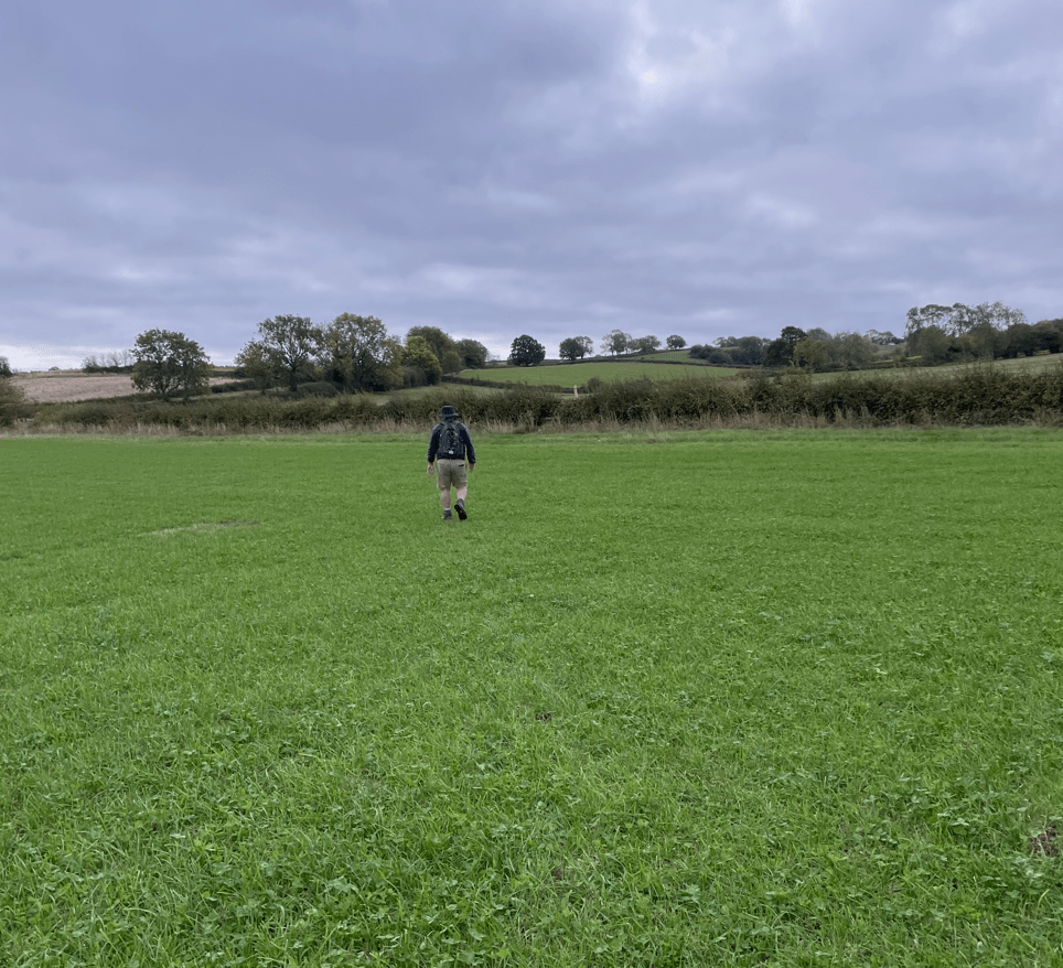
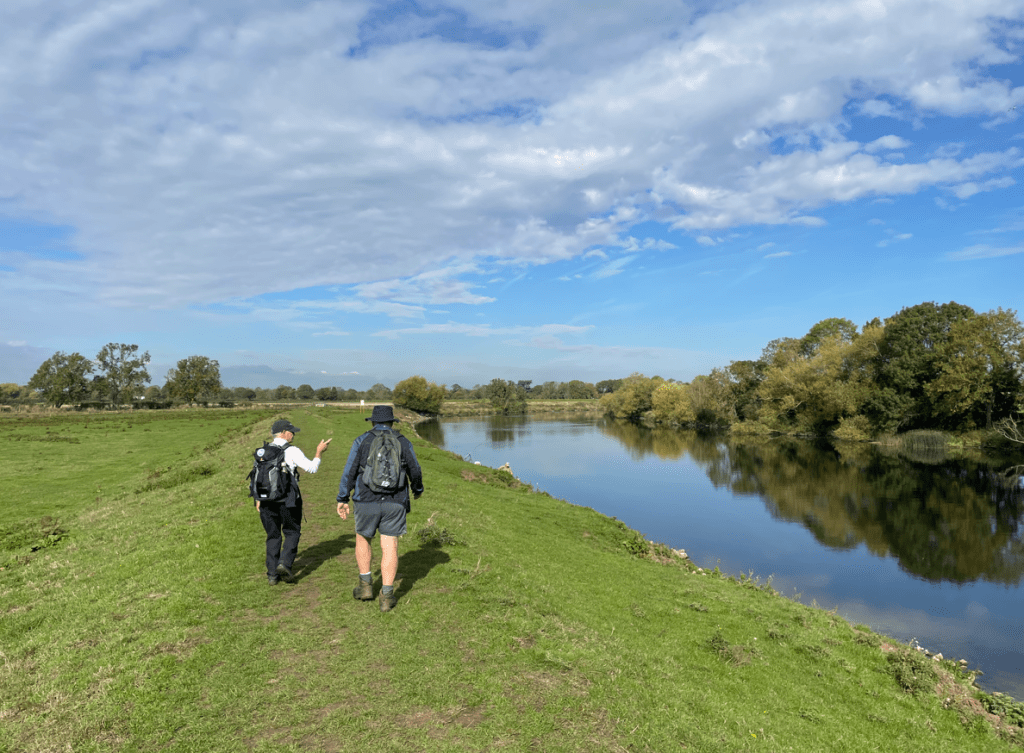
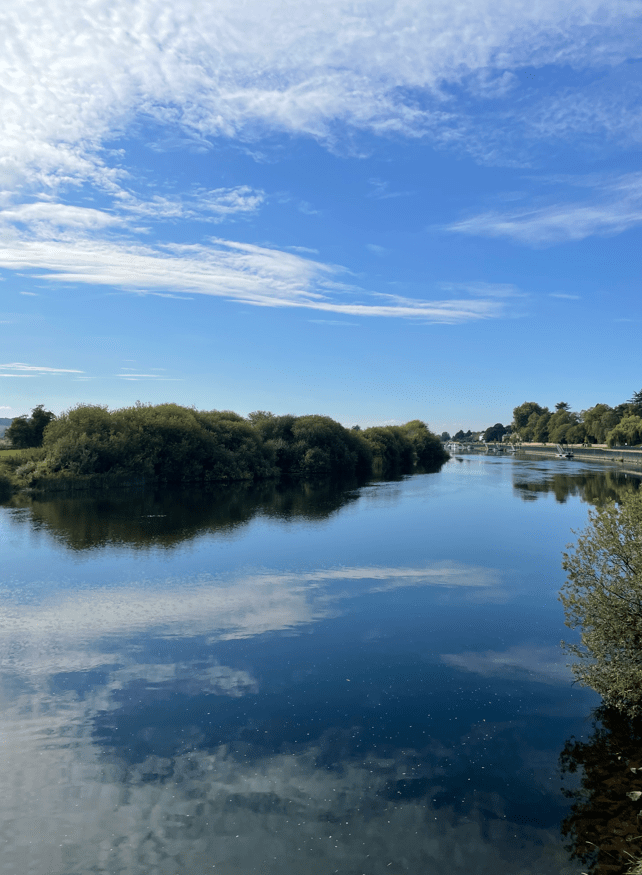
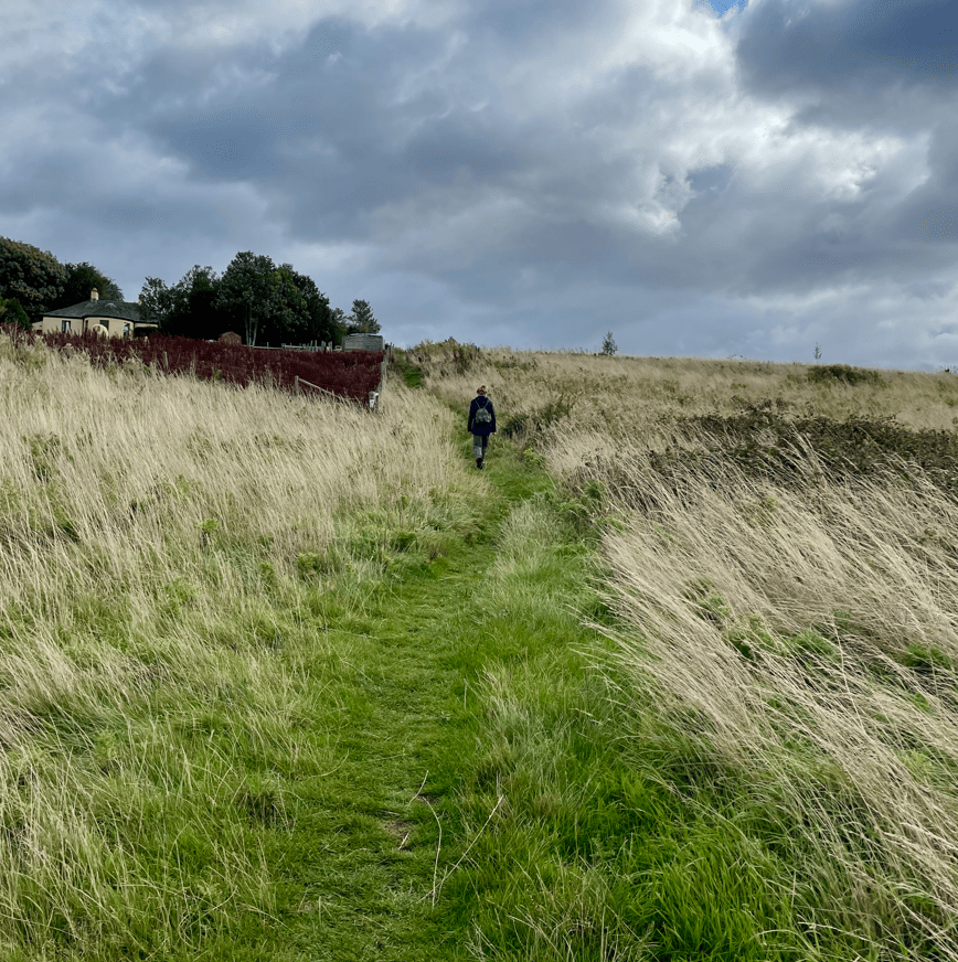
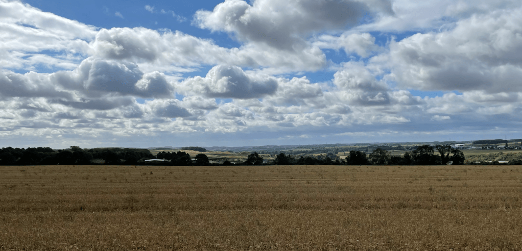
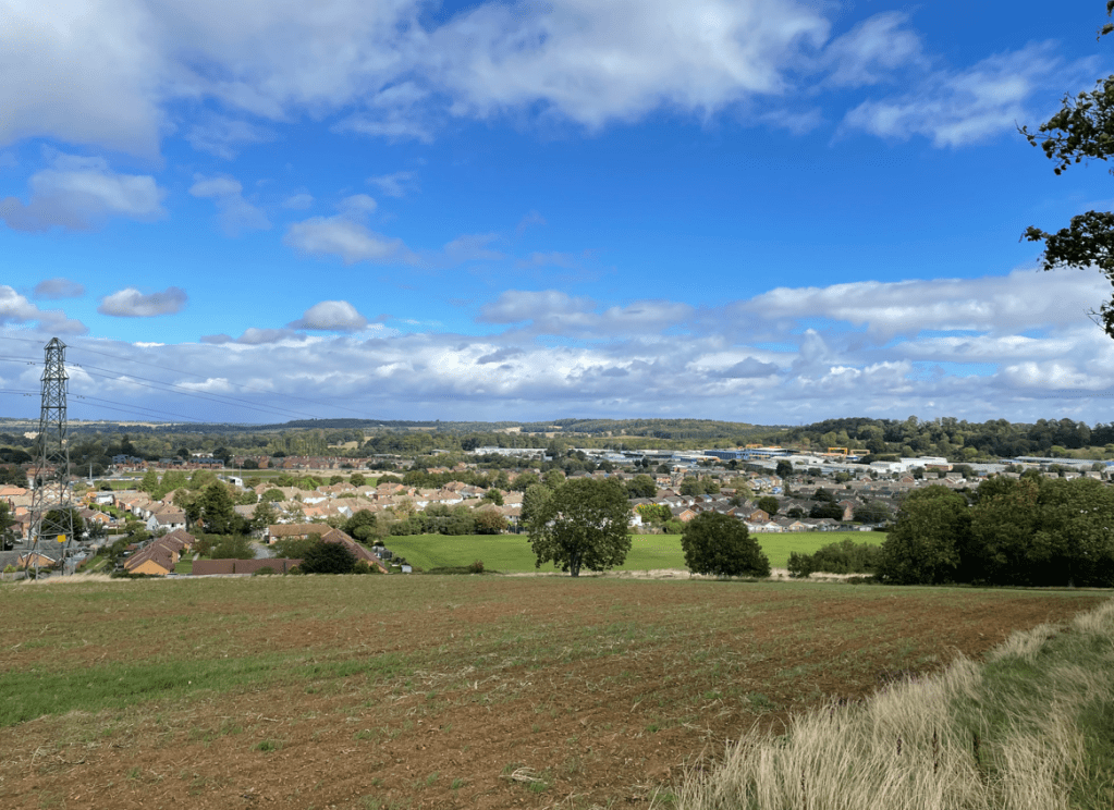
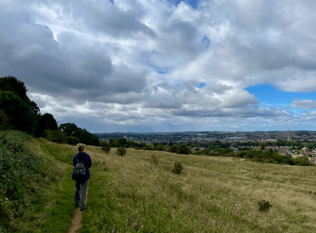
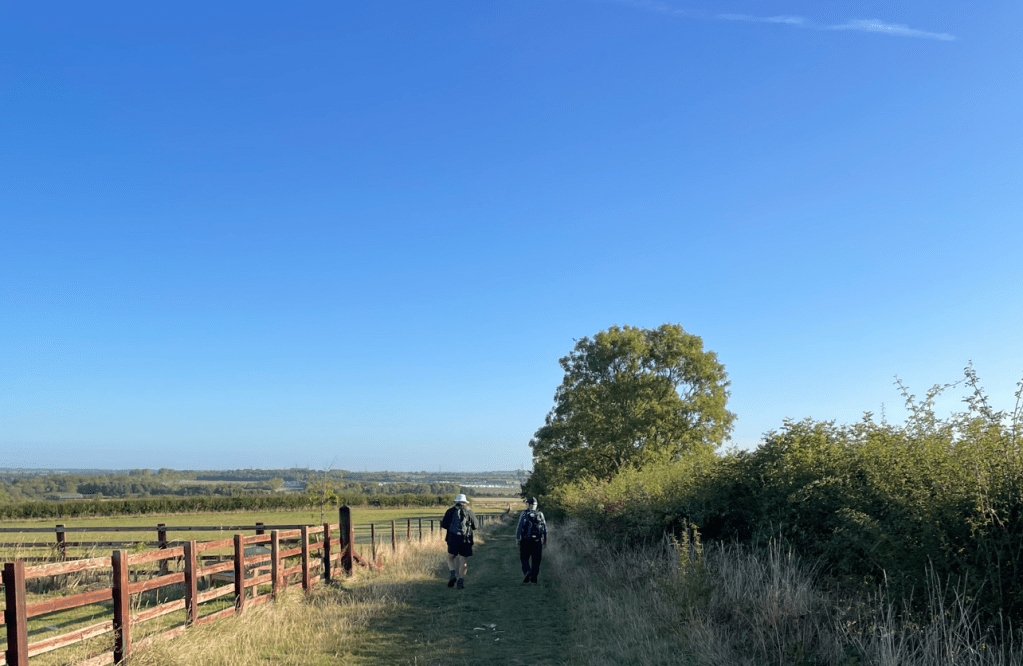
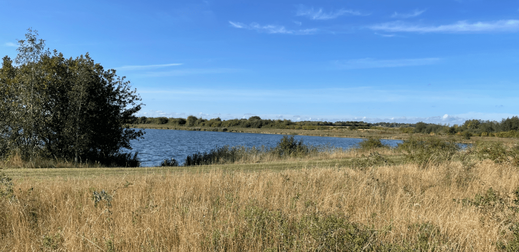
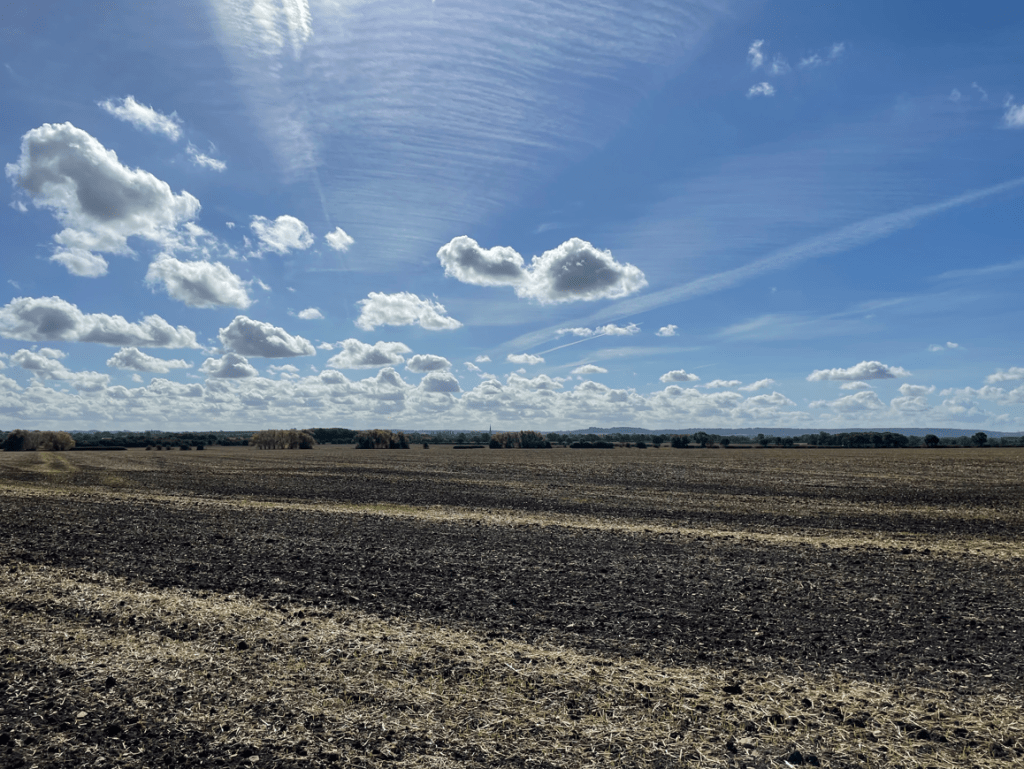
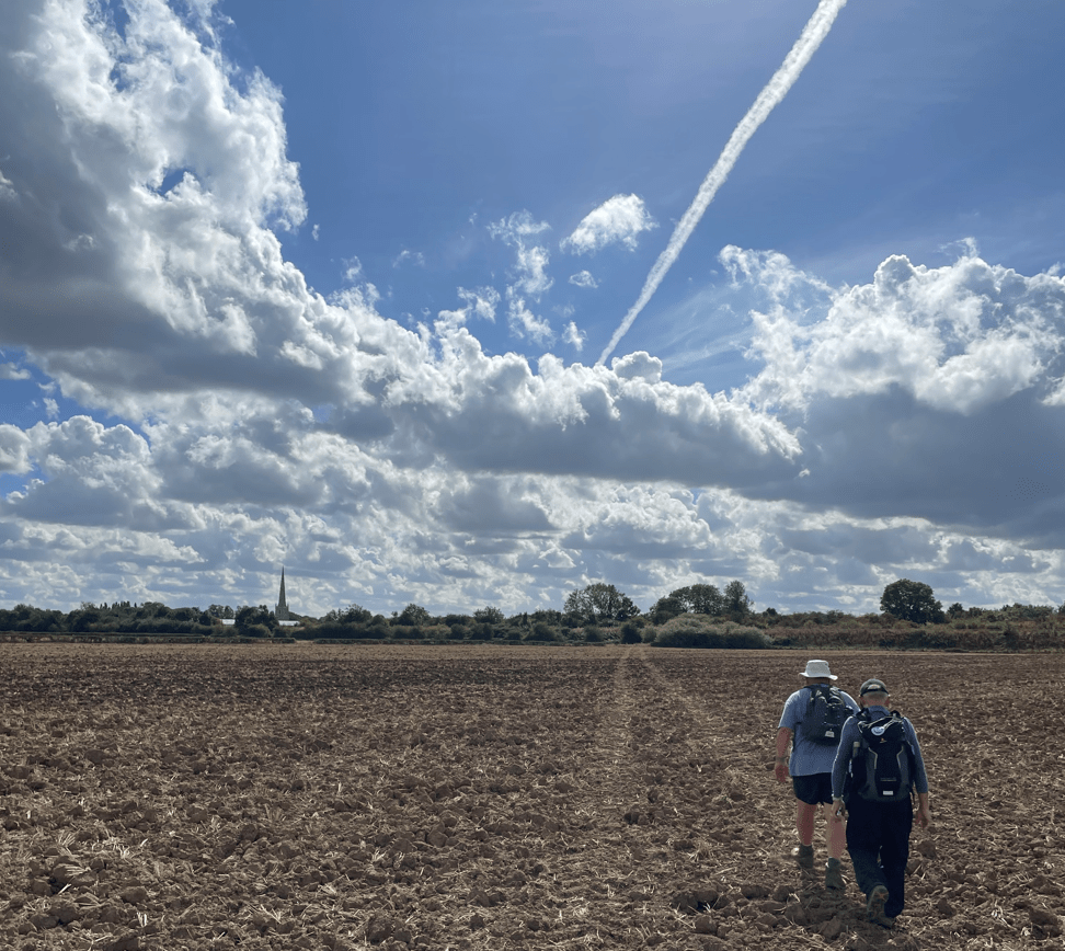
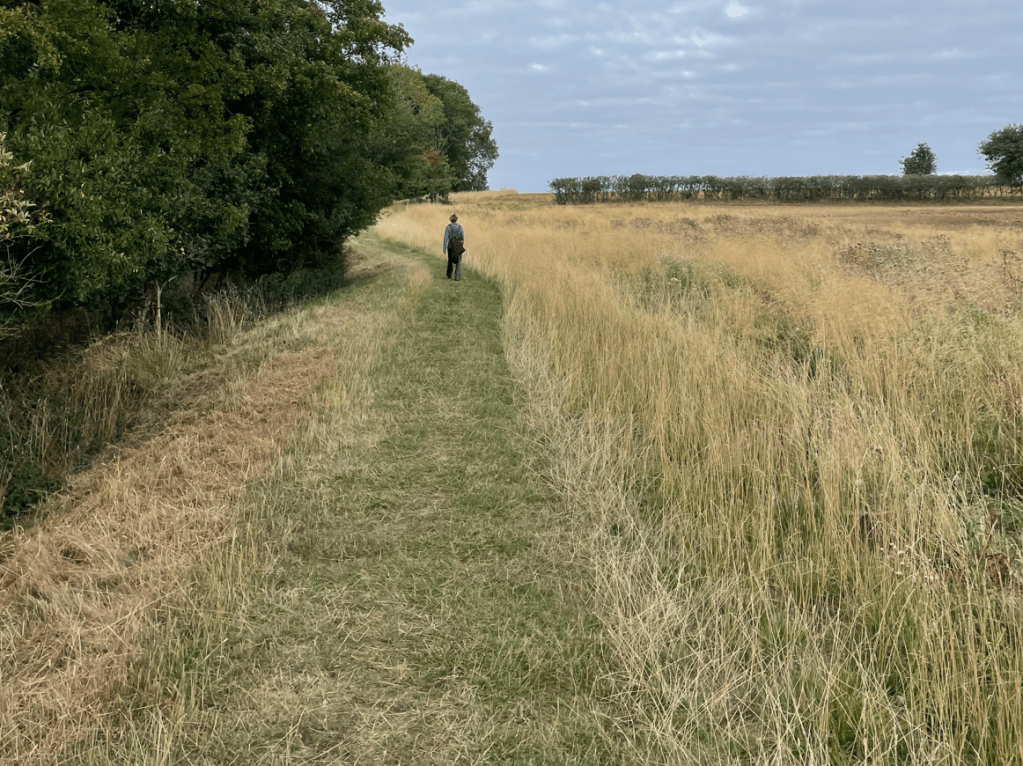
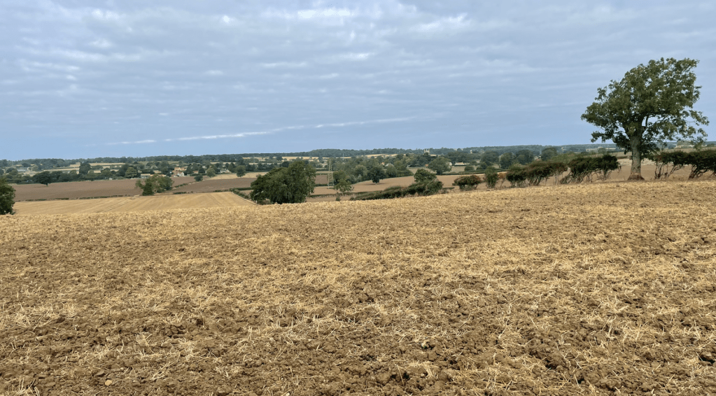
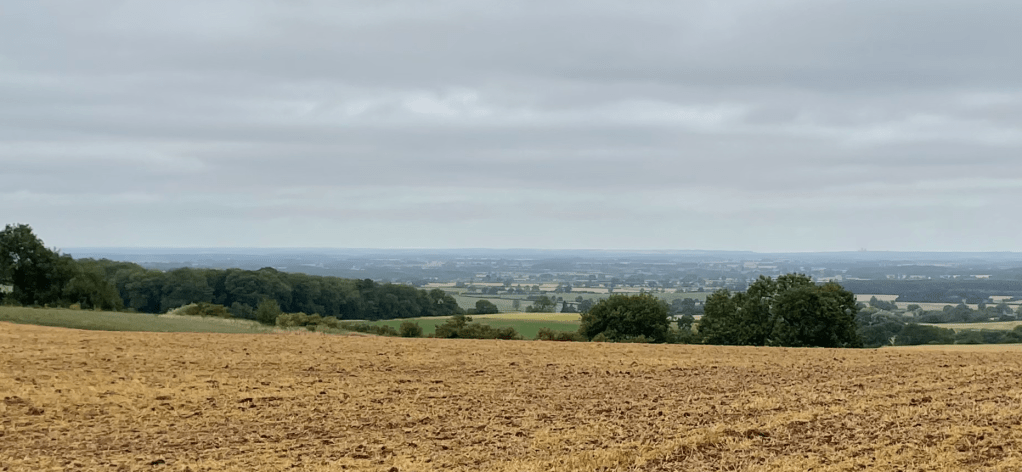
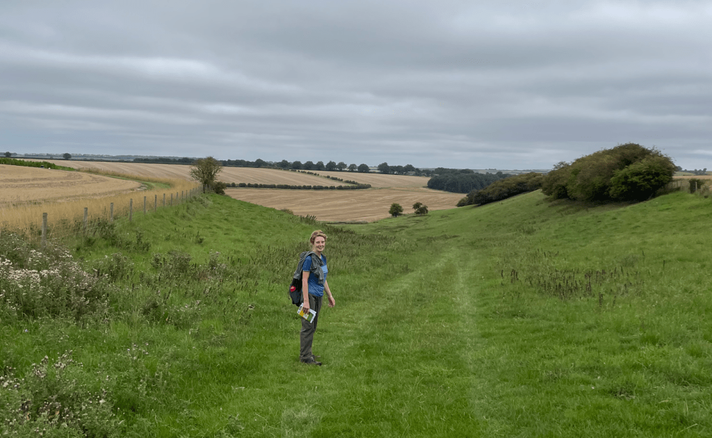
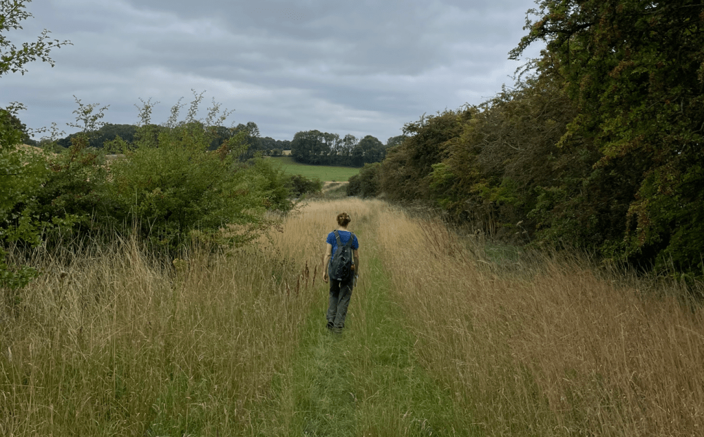
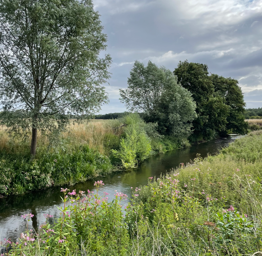
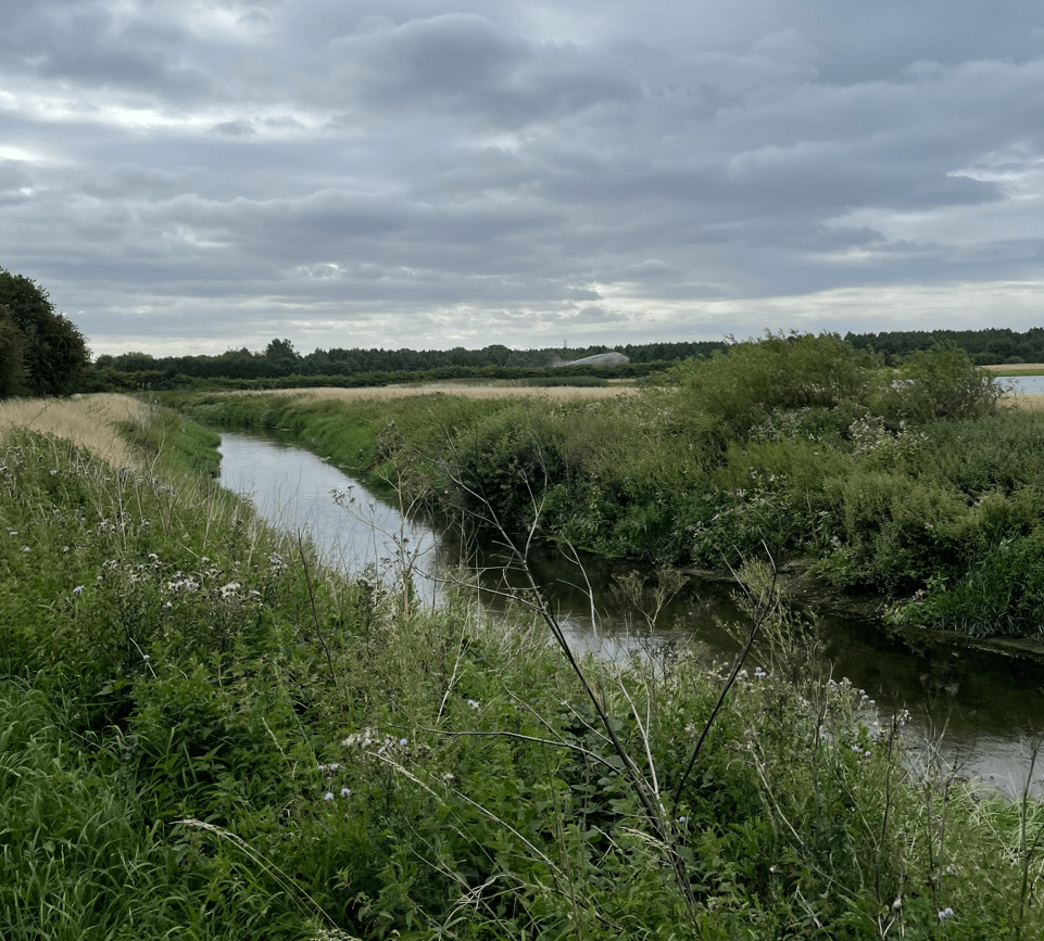
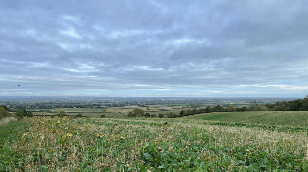
We did get some cracking views once we had gained some height. Chris was pointing out various landmarks far in the distance.
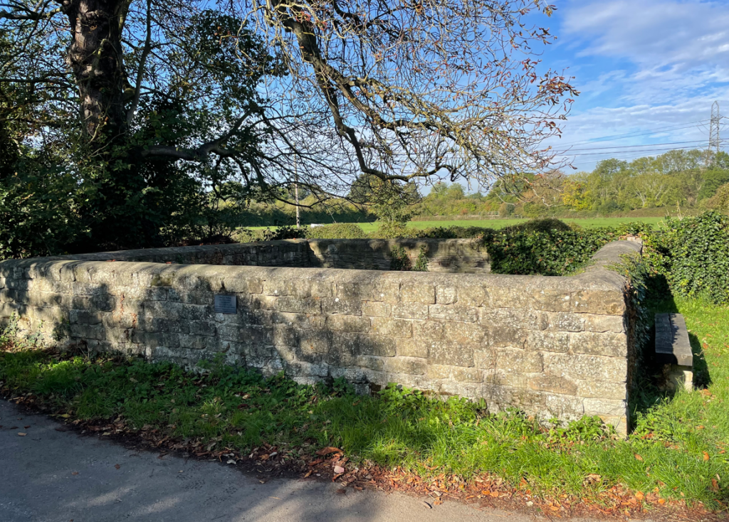
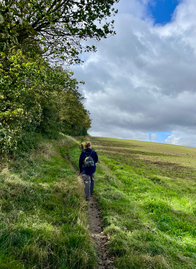
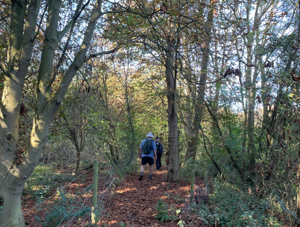
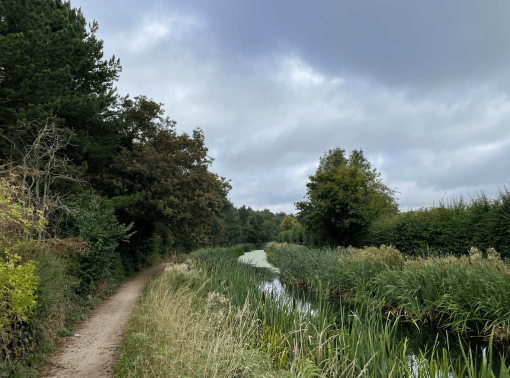
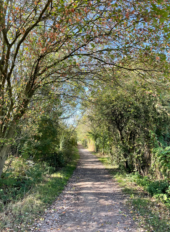
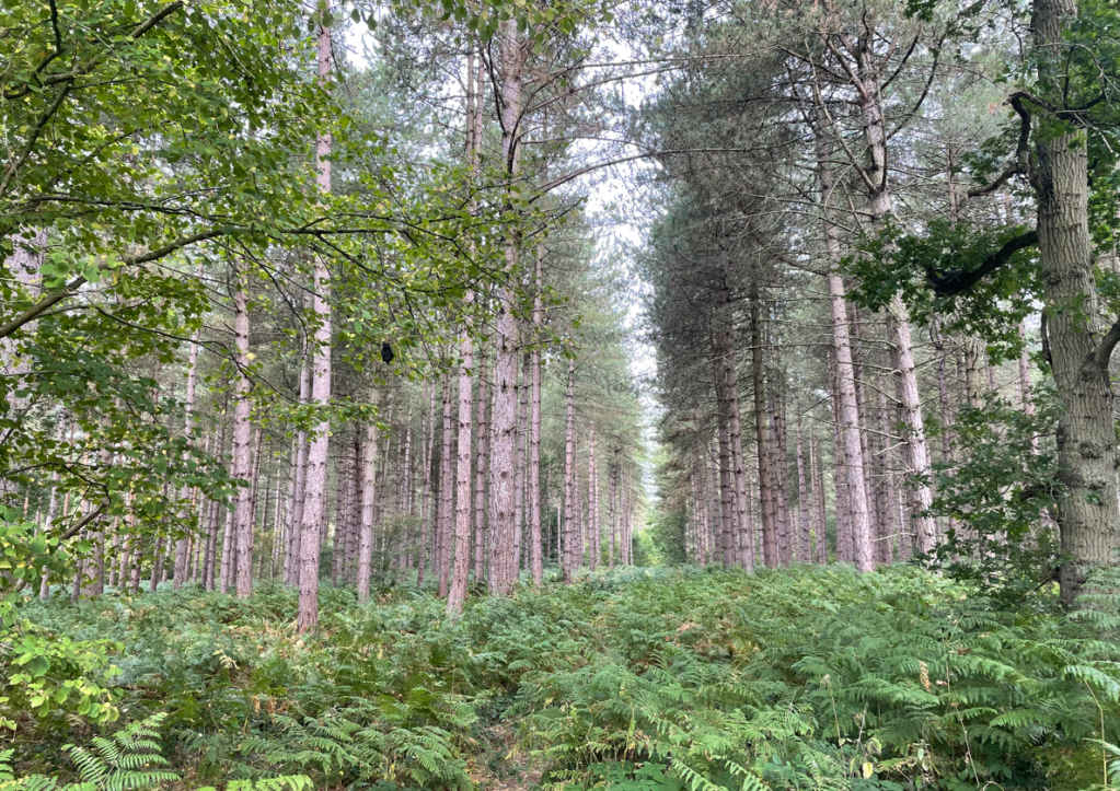
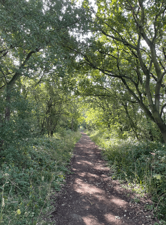
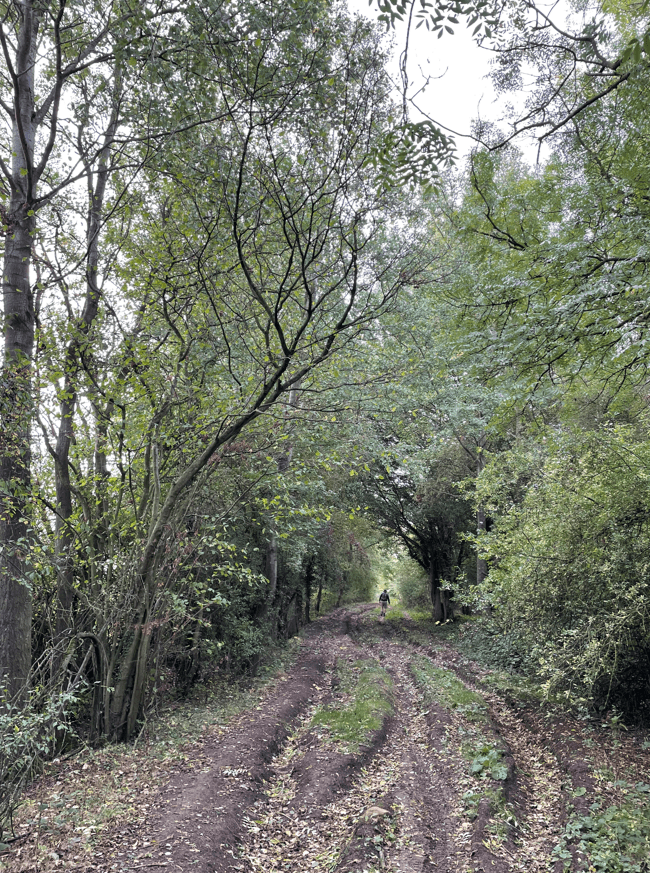
Soon we were walking through a wooded area along a wide, muddy and rutted track. We would pass two dismantled railway lines, although there was limited evidence of their existence – two stone support walls. In view of their location near Melton Mowbray they would have been former lines to that town.
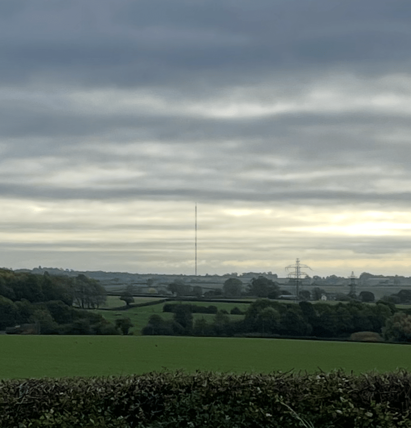
In the distance we could see the very tall tv mast at Waltham.
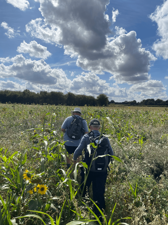
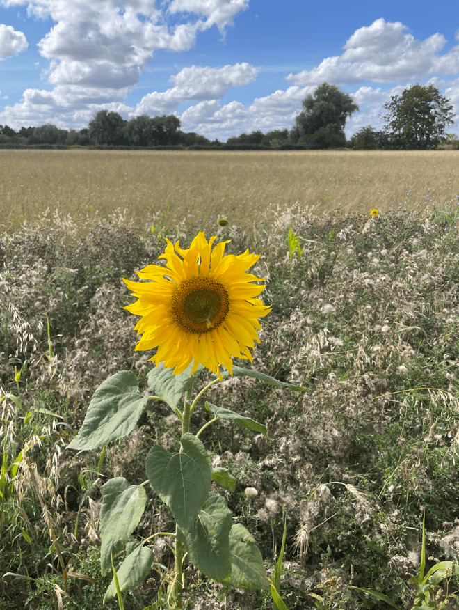
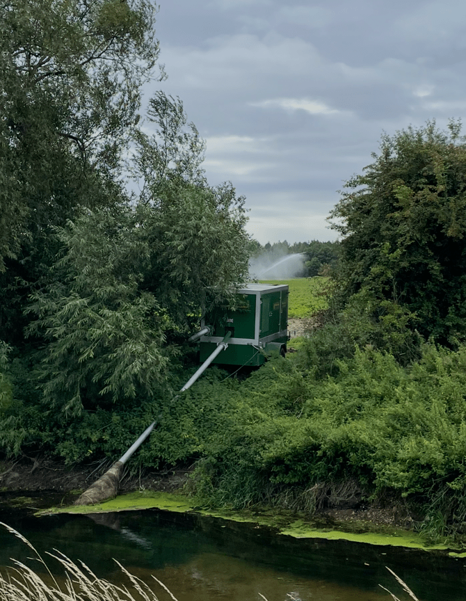
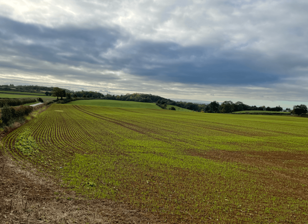
As we continued on we reached a house where the path used to run through the yard (according to OS maps), but the signs in place diverted us around the property. We decided to take a break out of the wind. A new crop was sprouting in the field in front of us.
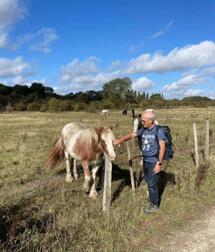
After a brief stop we continued on and, at the other end, the sign directed us to a field containing horses (the gate was roped closed suggesting that we were not welcome) and we could see no way out of the field. We therefore had to find an alternative route. The one obvious route was through a barbed wire fence, so taking off our rucksacks, we managed to crawl under the wire safely and continue onwards. We had not anticipated this when we had started the walk but we got around it.
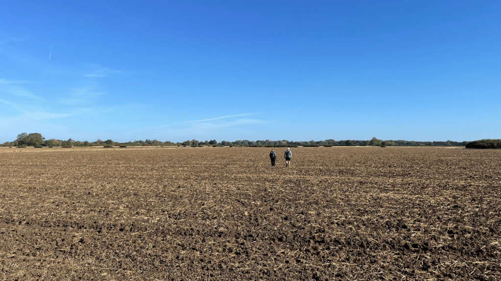
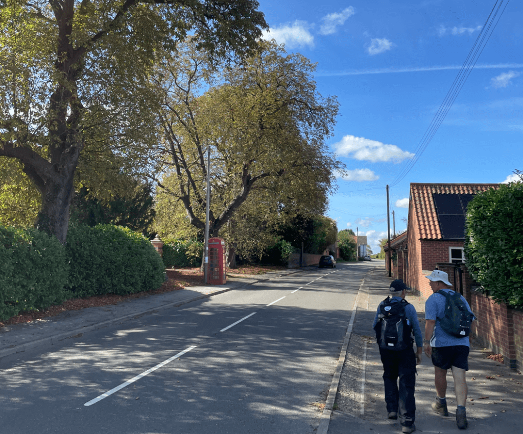
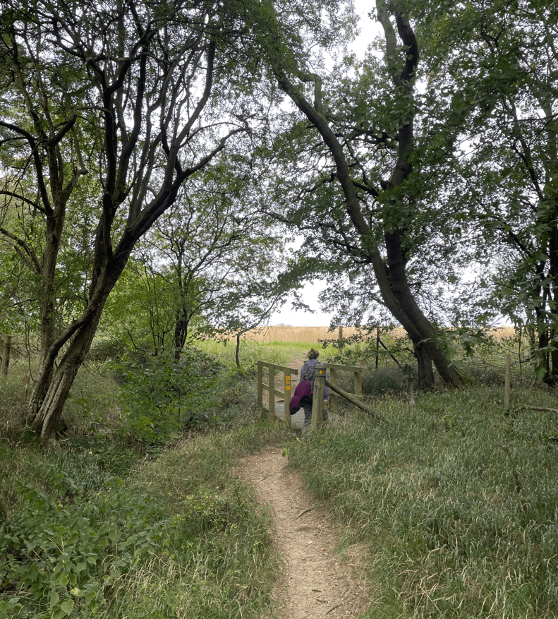
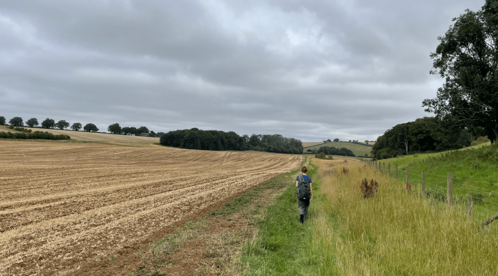
We then had a section of road walking to do, which is never good, with fast moving traffic on it. We battled onwards and entered fields again – thank goodness! It wasn’t long before we came across another obstacle – a fallen tree across the path, probably from Storm Amy at the weekend. The distant views were good though!
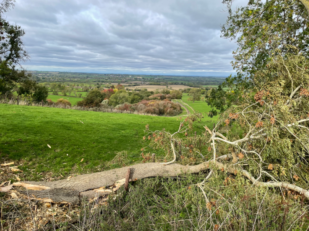
I clambered over the branches, with not much style, and Chris found a way into the adjacent field and bypassed the fallen tree. We both wondered what else we would find on this walk. As it turned out, the remainder of the walk was uneventful apart from when a herd of cows in a field we were crossing, started running to avoid us and disappeared into the adjacent field through the hedge- when we looked in the adjacent field they were not to be seen. Most mysterious.
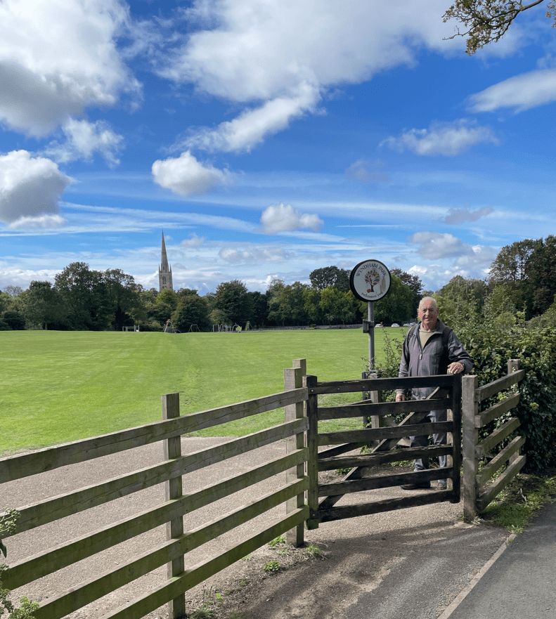
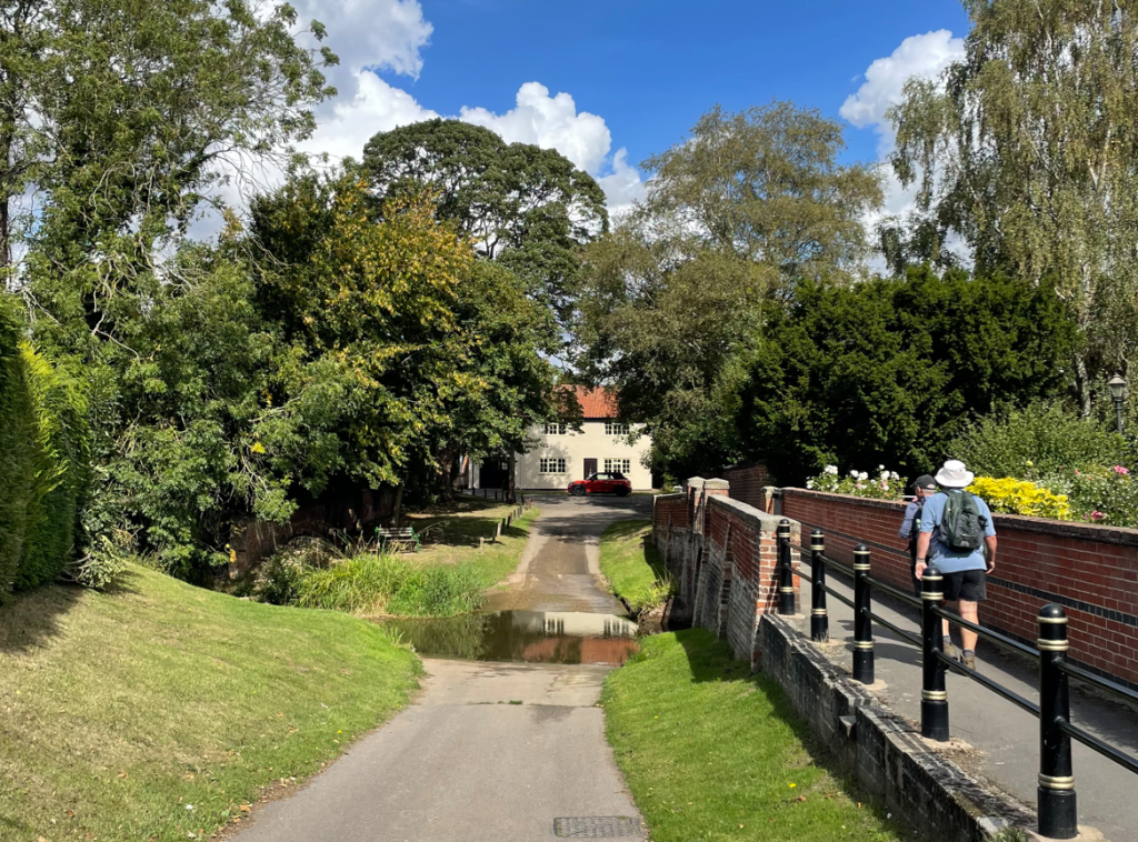
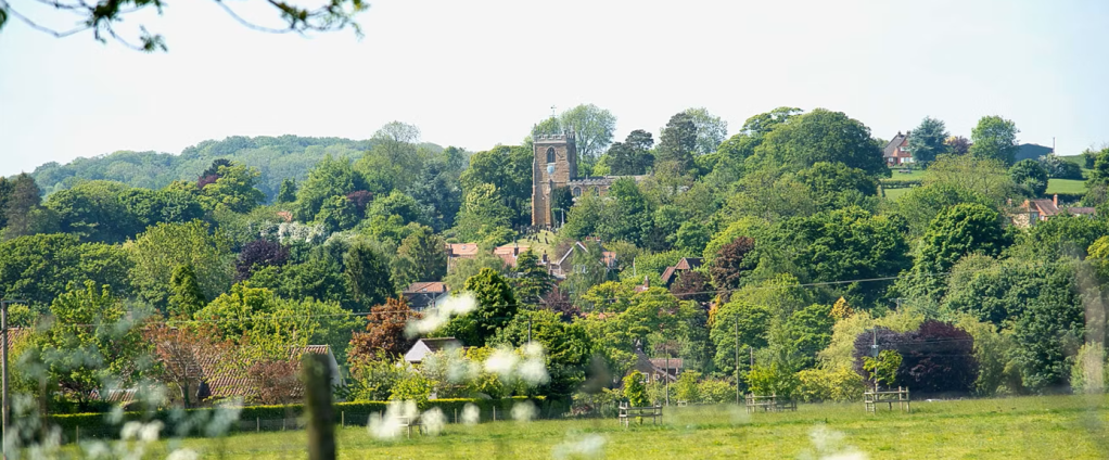
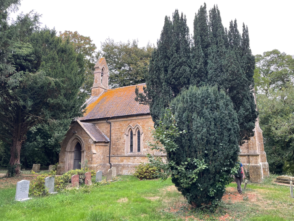
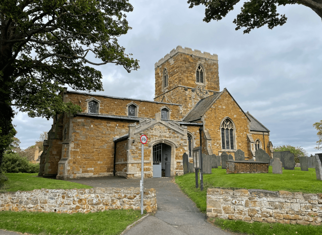
Soon, we arrived into the village, walking through the churchyard of St Remigius church. A short walk brought us back at the cars.
We both knew that it had been an eventful walk and tiring on the legs. We had some cracking views along the way and had put the world to rights.
Happy Walking! 😊🚶