Hello and welcome back to my blog 😊.
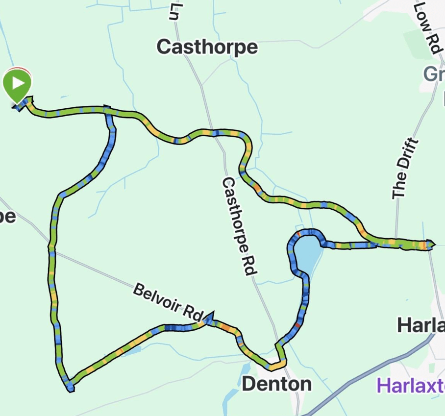
Today the Three Amigos enjoyed an 8.4-mile circular walk from Woolstorpe-by-Belvoir, taking in views of Belvoir Castle and The Grantham Canal.
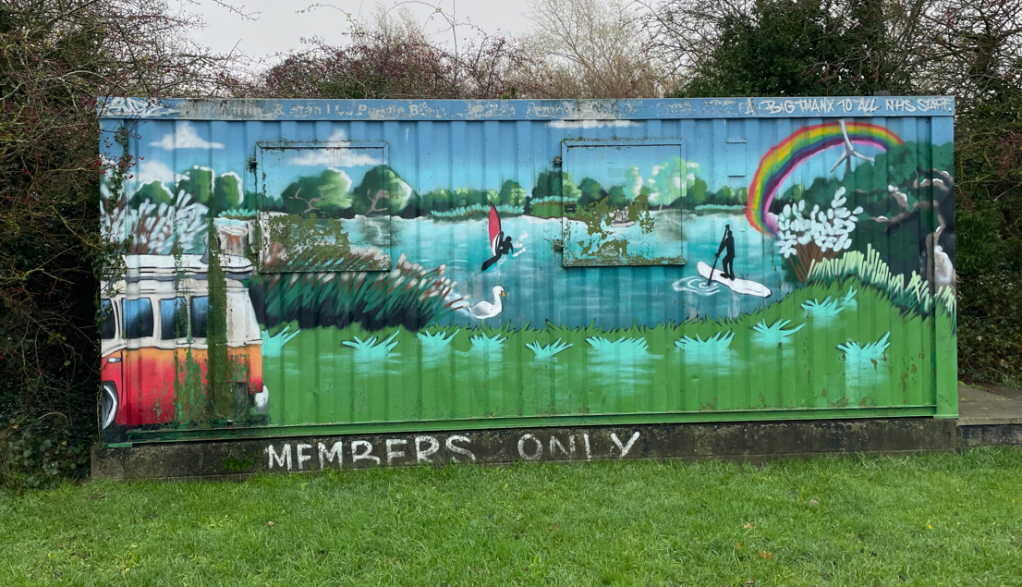
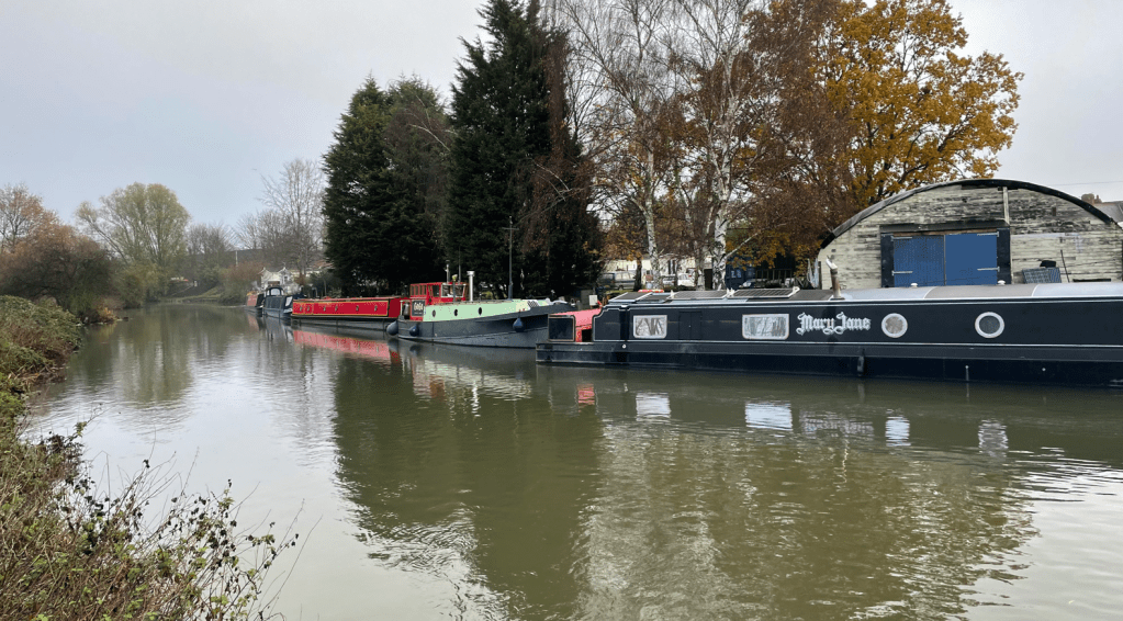
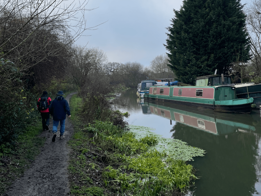
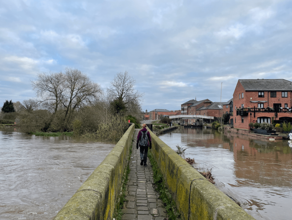
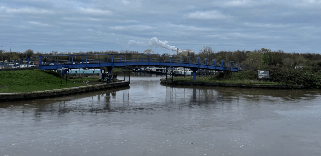
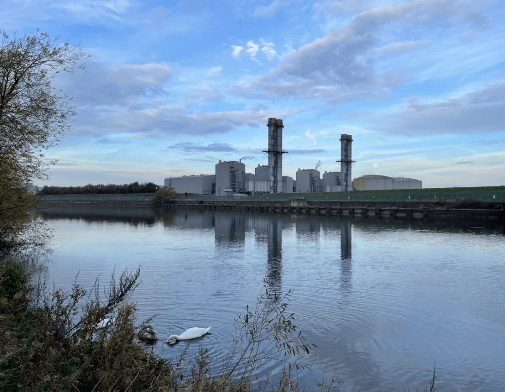
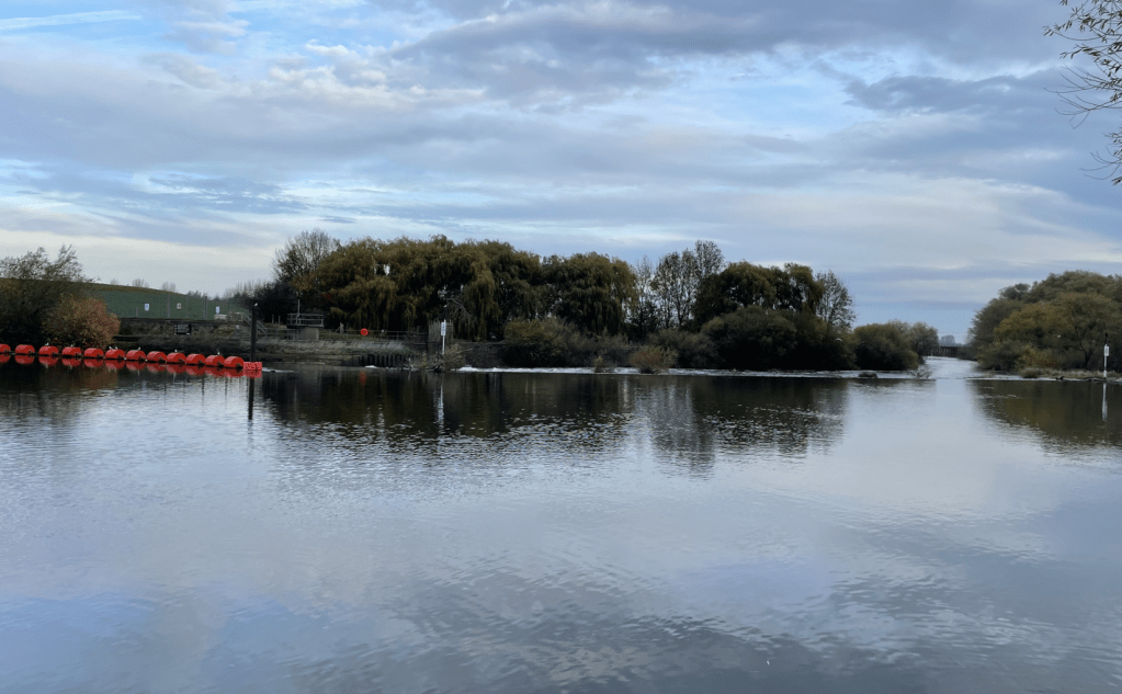
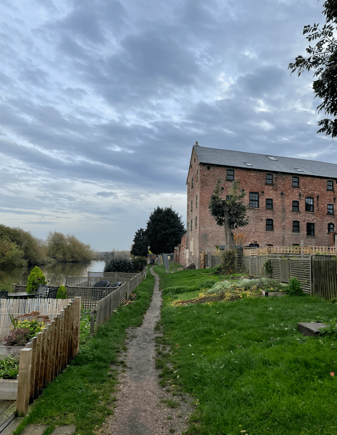
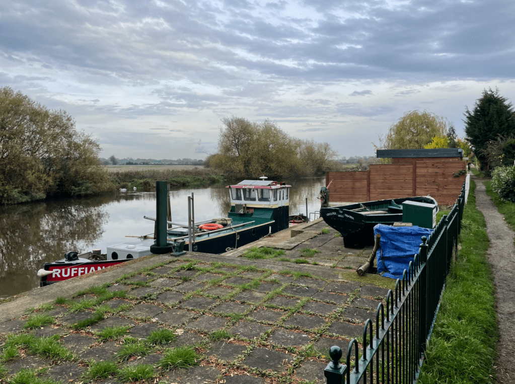
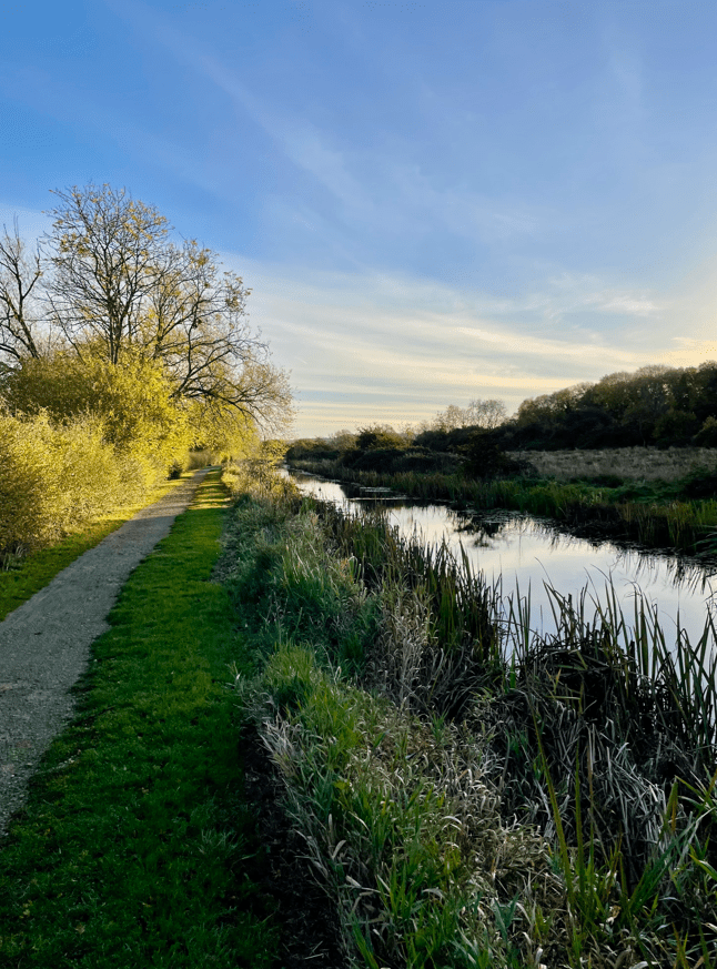
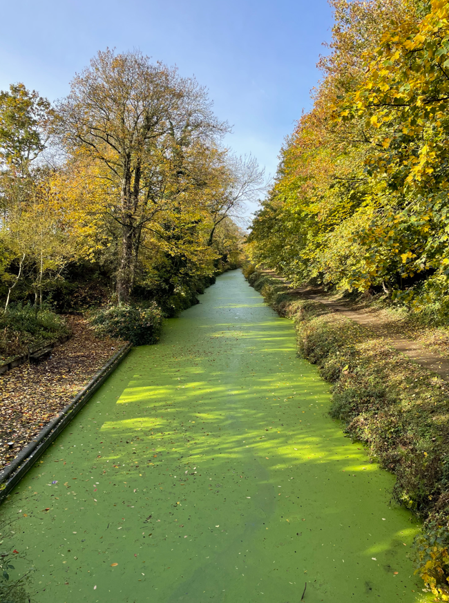
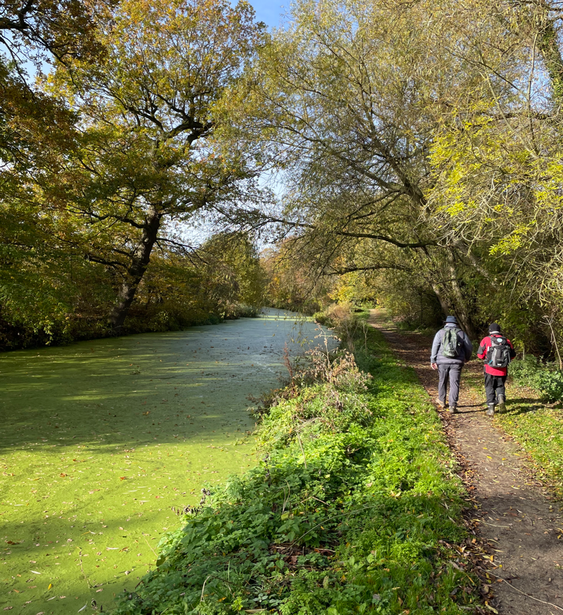
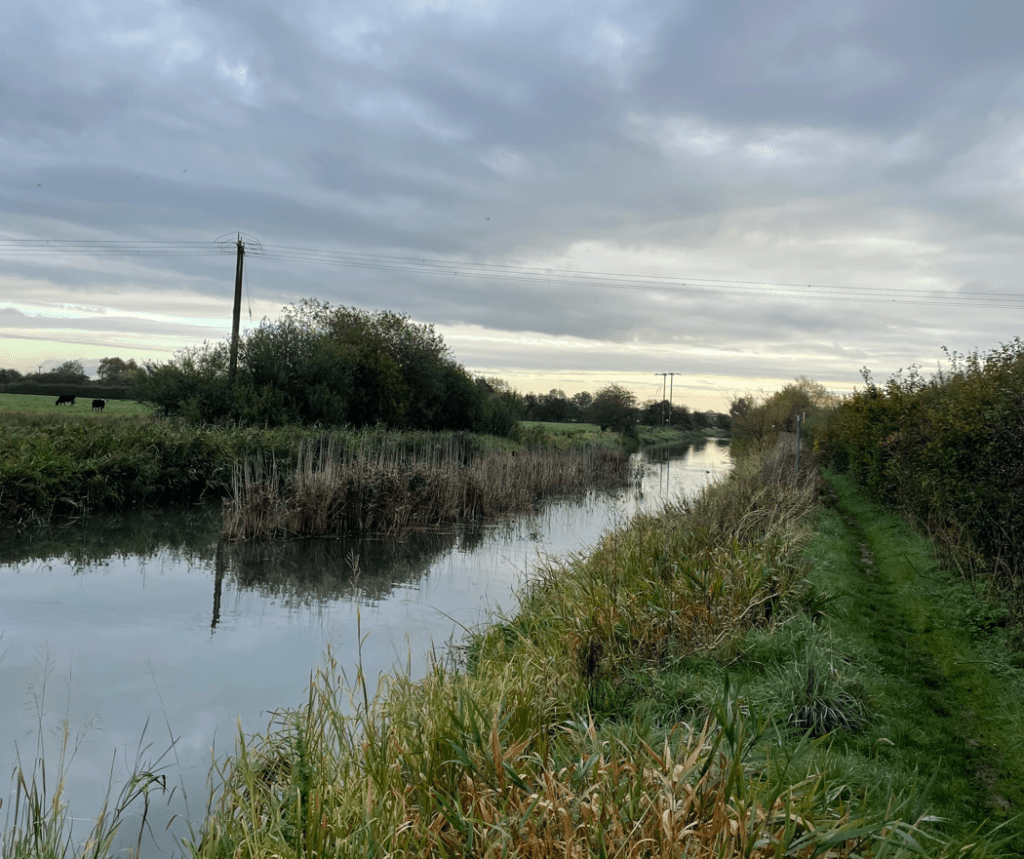
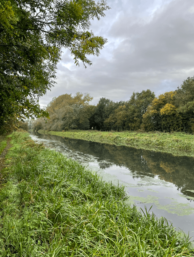
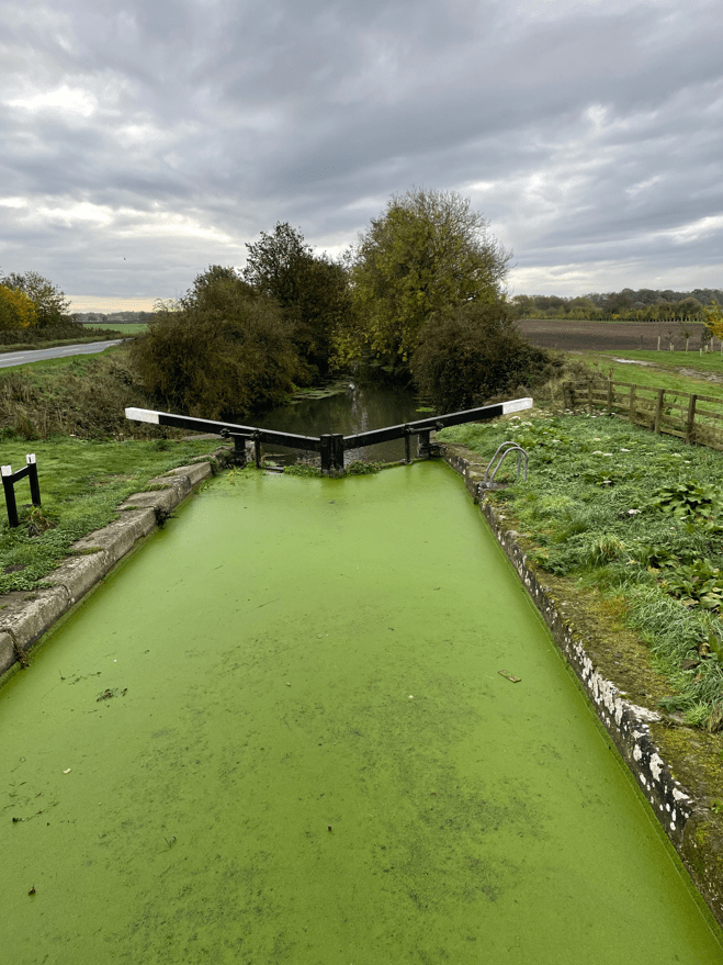
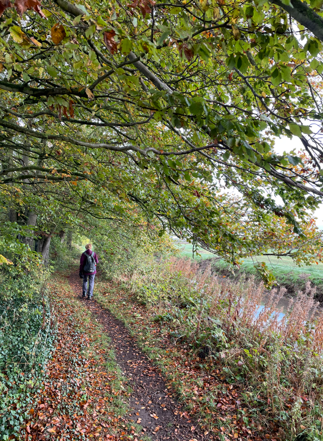
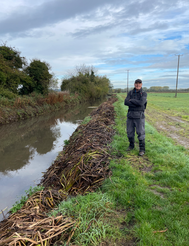
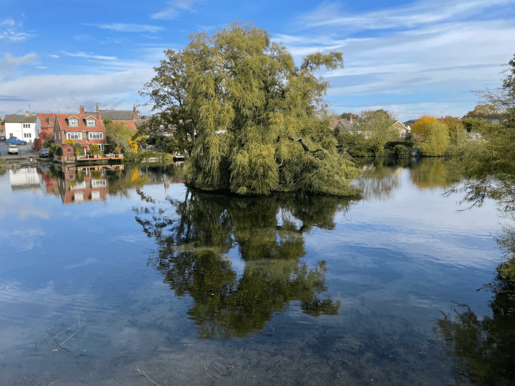
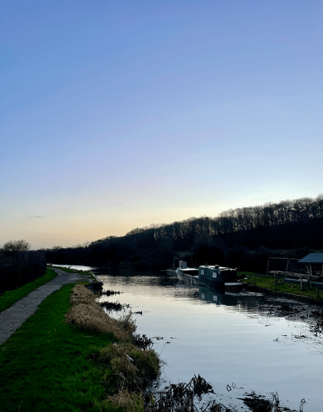
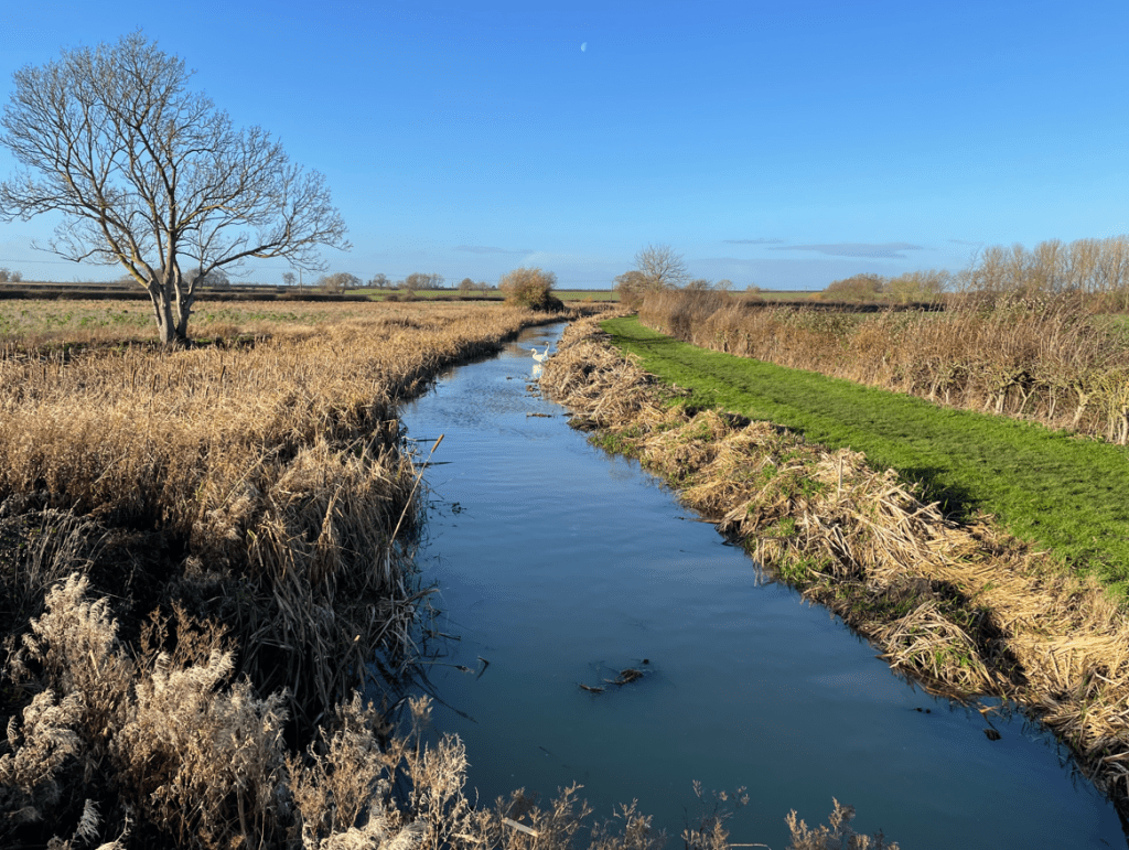
It was the day after Storm Bram so we were expecting some wet conditions underfoot. We parked by ‘The Duck’ pub early doors and headed along the Grantham Canal. It was going to be a blue-sky morning. A flight of noisy geese passed overhead – it was lovely to see. We observed that the canal has plenty of water in it following weeks of rain.
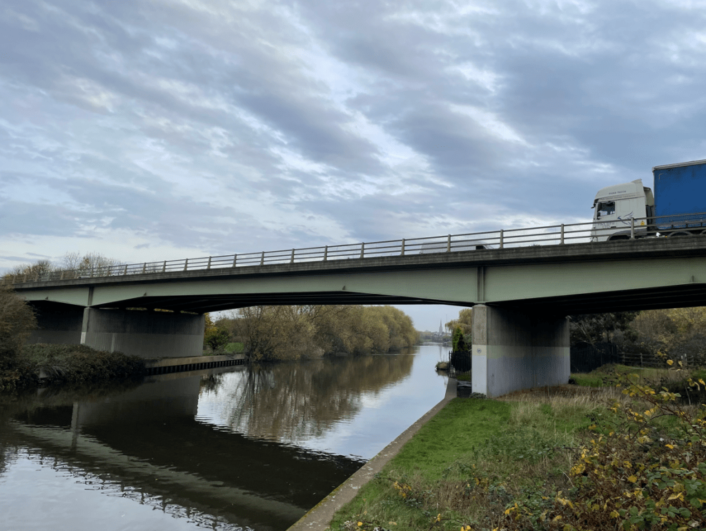
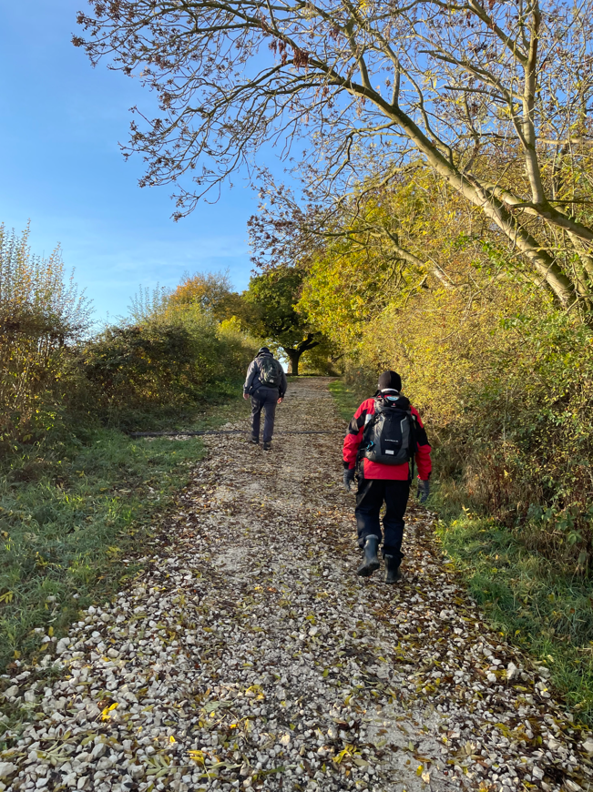
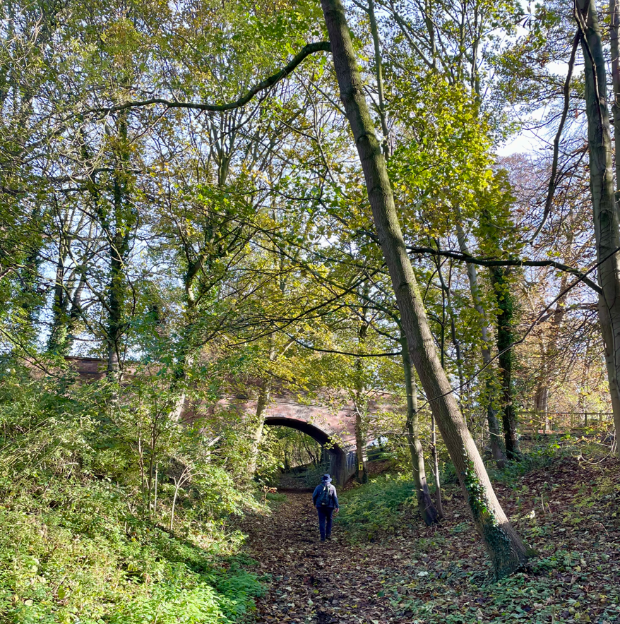
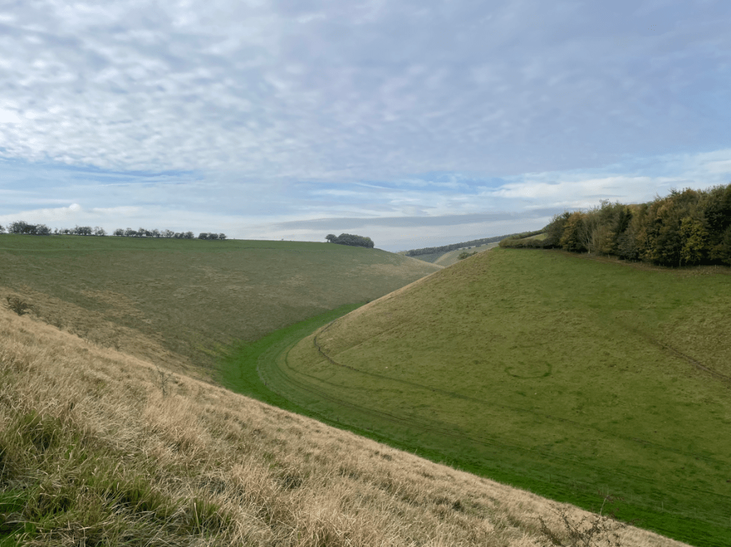
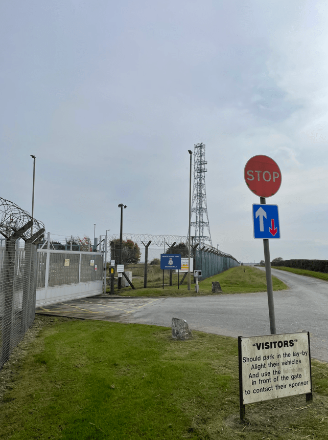
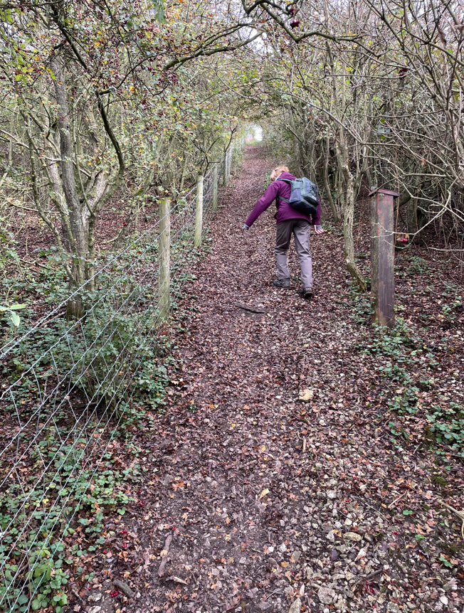
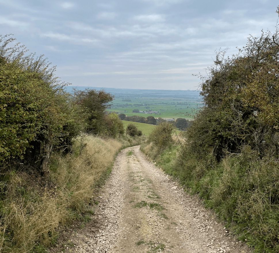
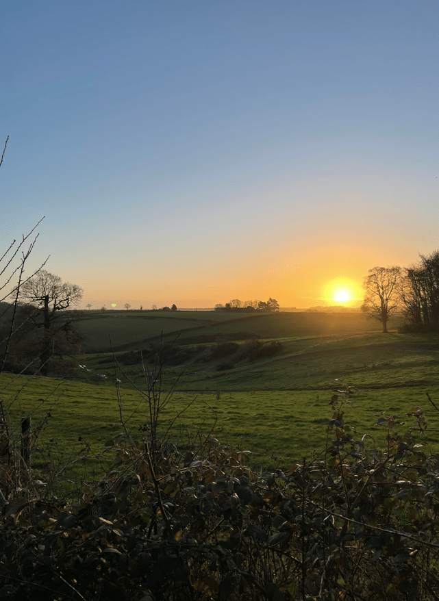
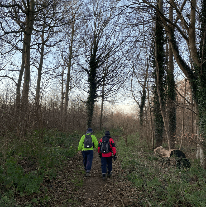
Shortly, we left the canal towpath, crossed Longmoor bridge and headed uphill following The Viking Way. The morning sun was just rising.
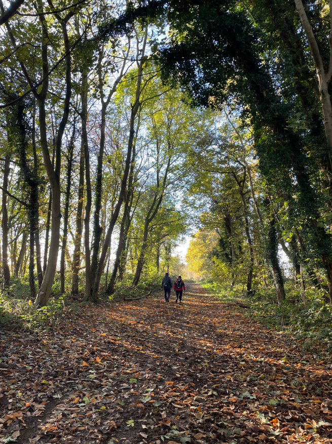
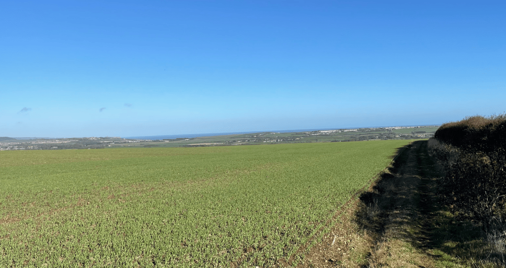
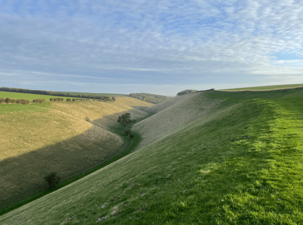
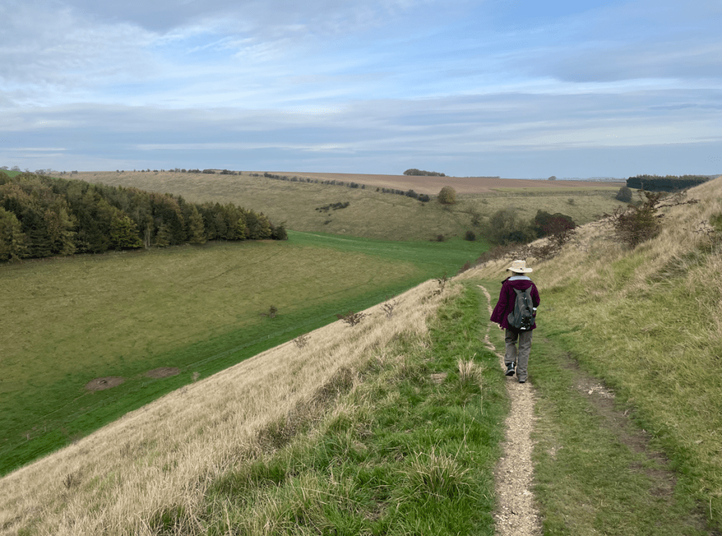
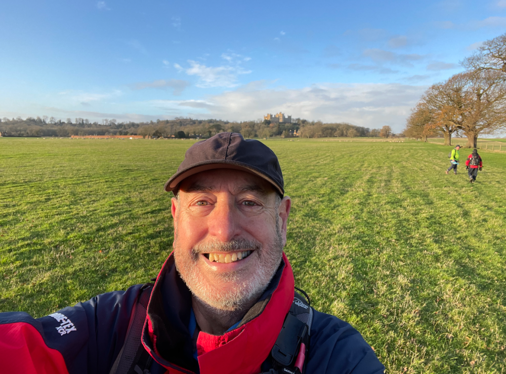
We passed through a short wooded section and then a beautiful vista opened up in front of us with Belvoir Castle on the left and the Vale of Belvoir in front-its moment’s like this that make walking a joy.
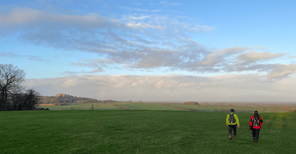
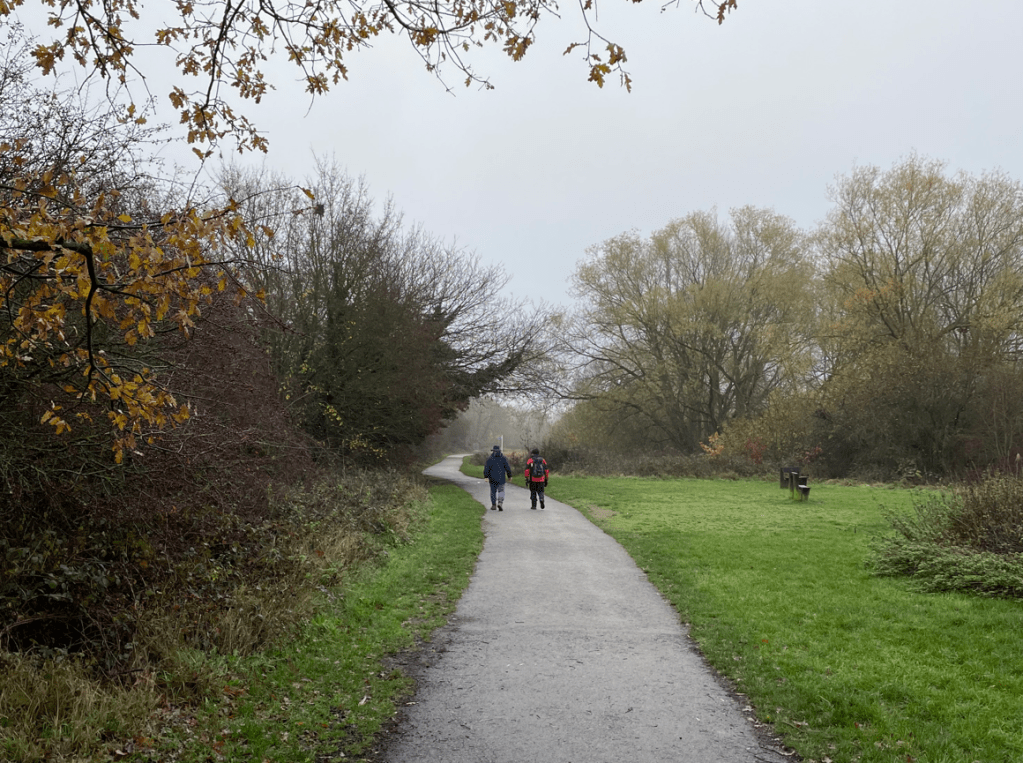
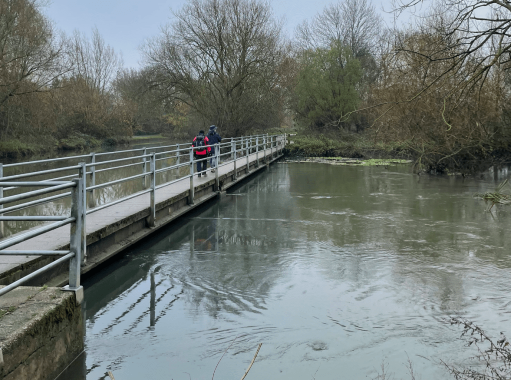
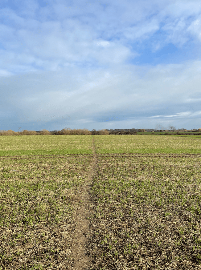
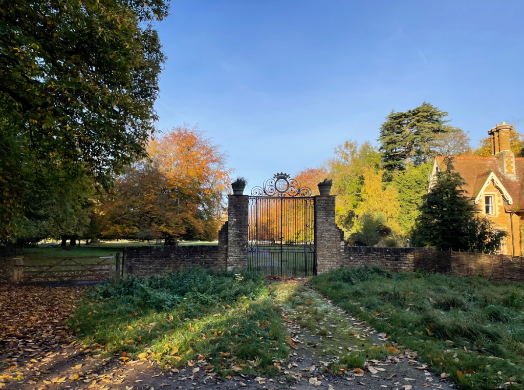
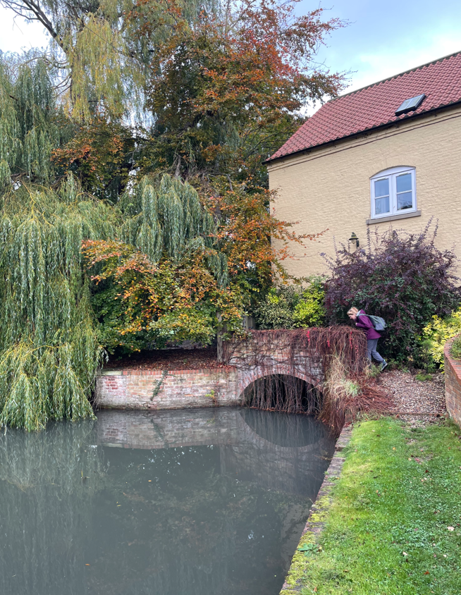
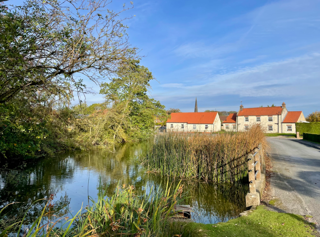
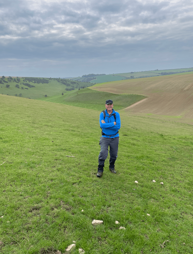
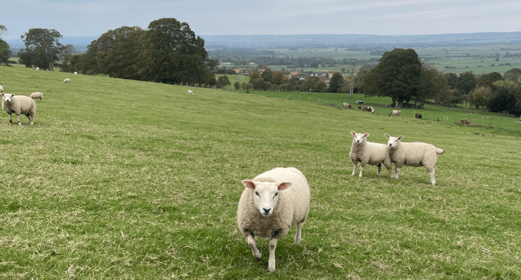
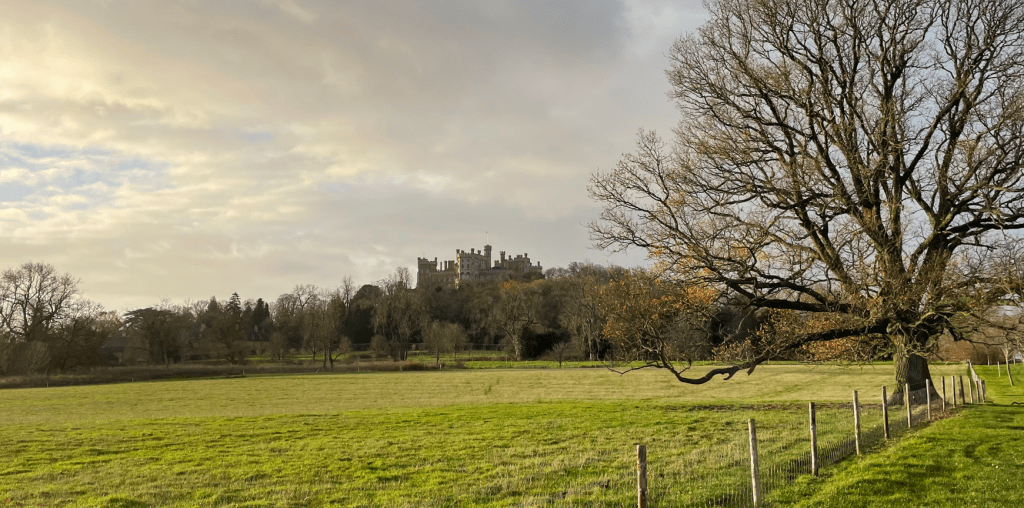
We headed downhill towards Woolsthorpe-by-Belvoir village taking care on the slippery path. Passing through the village we crossed over the River Devon and then headed slightly uphill across open fields containing sheep. Belvoir Castle got closer and we were enjoying the views. Chris collected some rubbish that had blown into the field with the aim of disposing of it elsewhere – well done Chris!
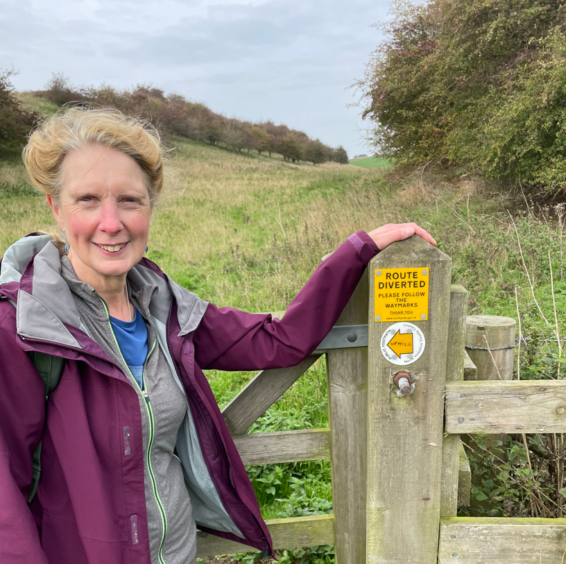
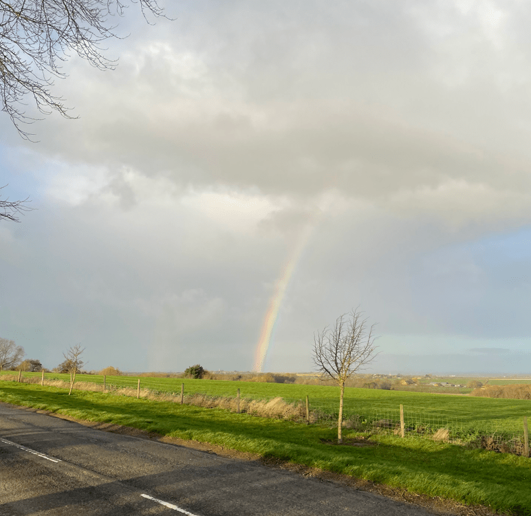
We started to notice some cloud and soon we spotted a rainbow – rain was imminent.
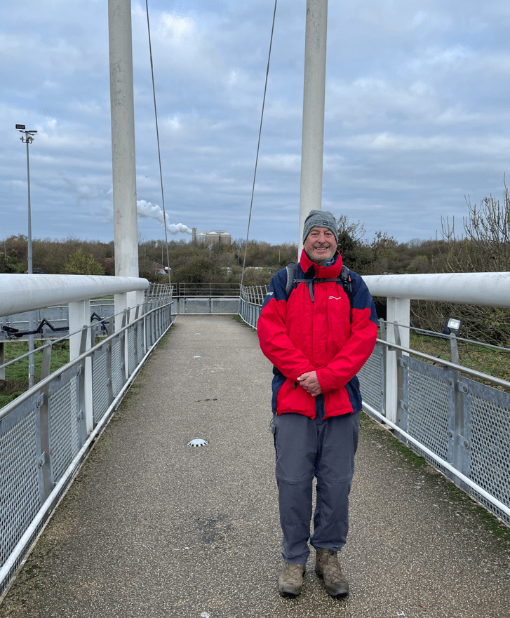
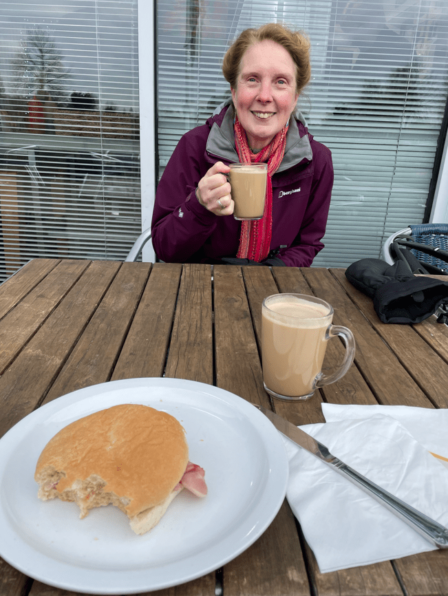
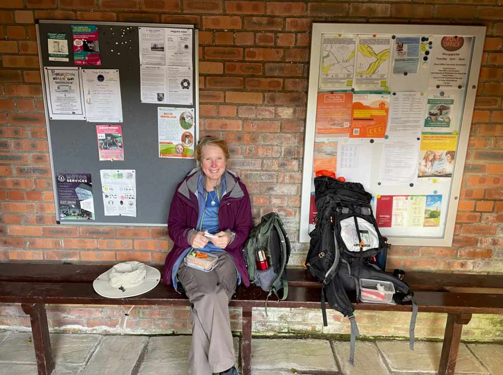
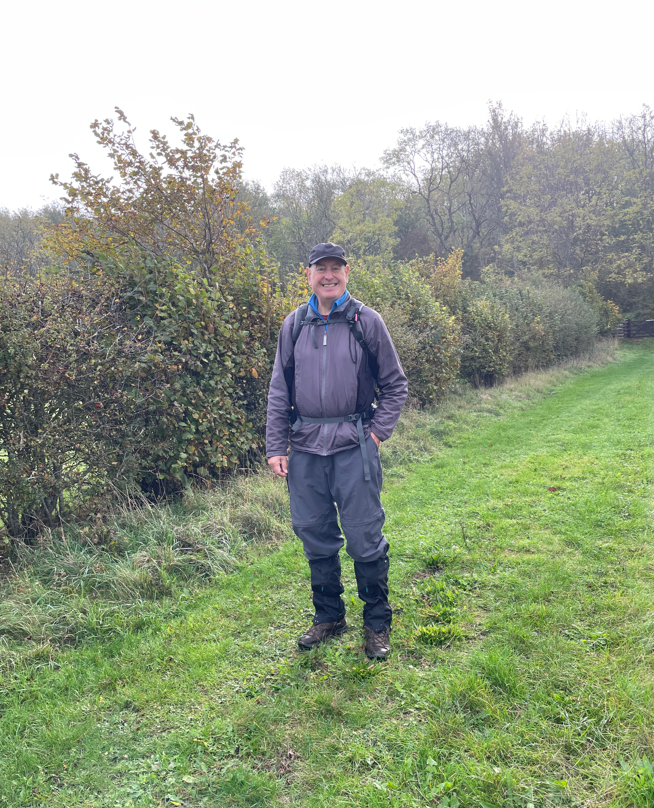
Before long before it was raining. We were passing Belvoir Castle Retail Village so we took advantage of a wooden hut to shelter from the rain and have a cuppa. This also gave Chris an opportunity to put on his new wet weather gear.

It was still raining after we had finished our break so we continued onwards down a road to reach the turn that would lead us back to the Grantham Canal. The rain didn’t last much longer and blue skies returned once more.
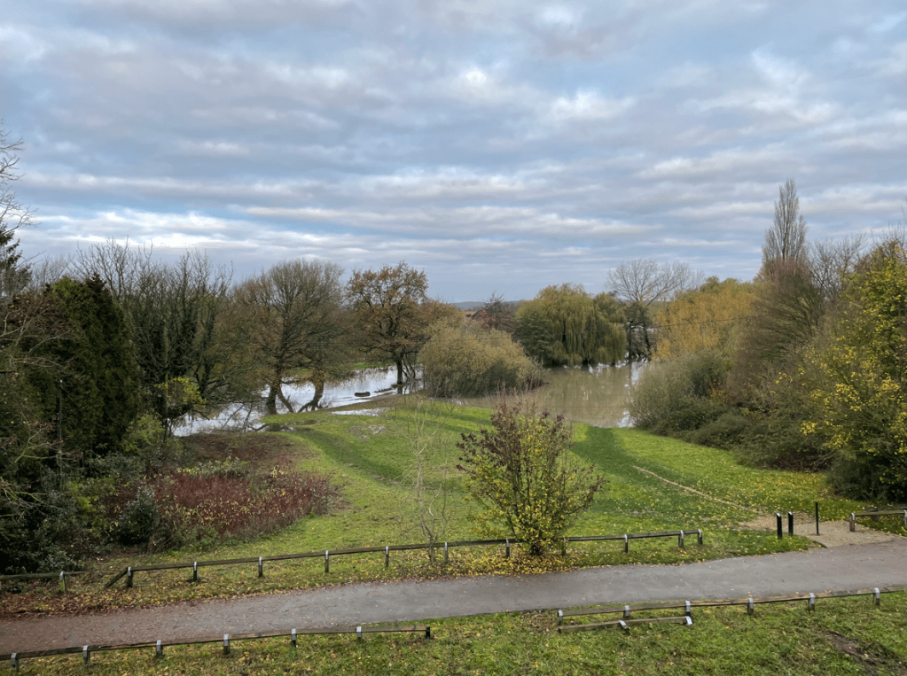
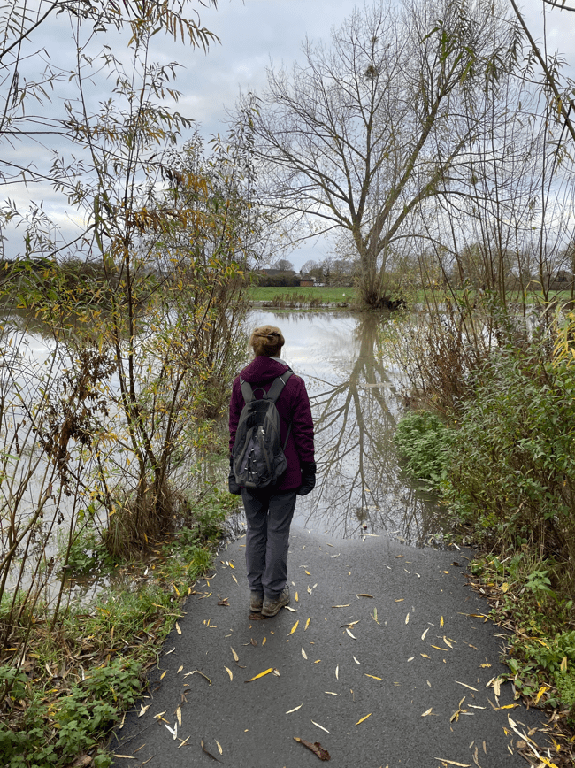
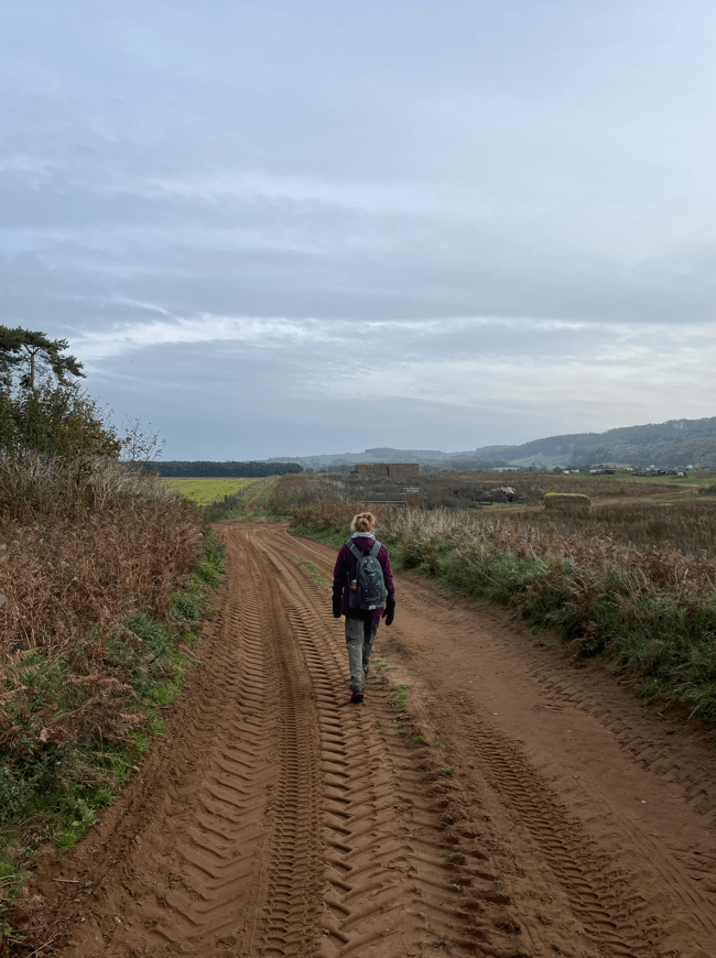
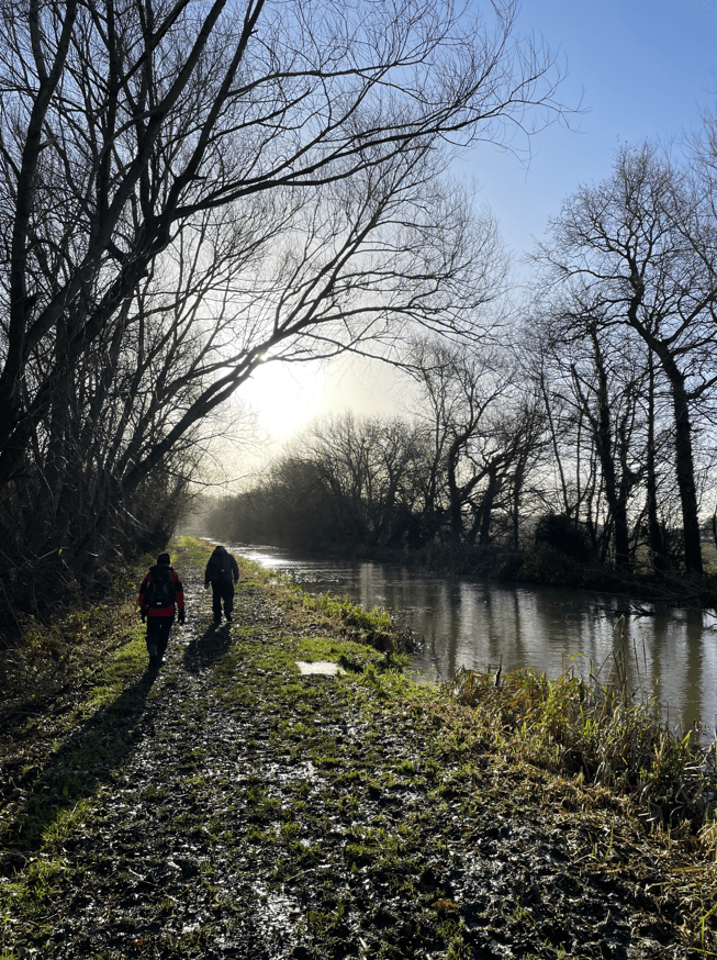
After easy walking along good towpath, as we neared the end of the walk, we encountered some very boggy conditions which were hard going.
We all could feel in our legs that it had been a good walk. It had been a therapeutic walk – the sun makes all the difference.
Happy Walking! 😊🚶