Hello and welcome back to my Blog 😊.
Today ‘The Three Amigos’ did a fabulous walk beside water – and on occasions through water (but not on the water!). A consequence of the recent Storm Bert.

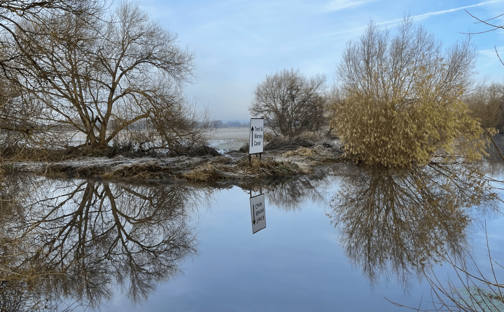
Our route took us from Shardlow, and the Trent and Mersey canal, to Cranfleet Lock – an 8.5 mile there and back walk.

It was a stressful drive around Nottingham to get to Shardlow and well done to Chris for safely navigating the icy roads, flooded bridges and horrific rush hour traffic jams.
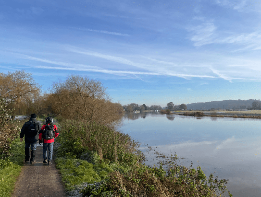
The temperature was just above zero and the sun was shining as we left the car park and set off optimistically, for a nice walk.
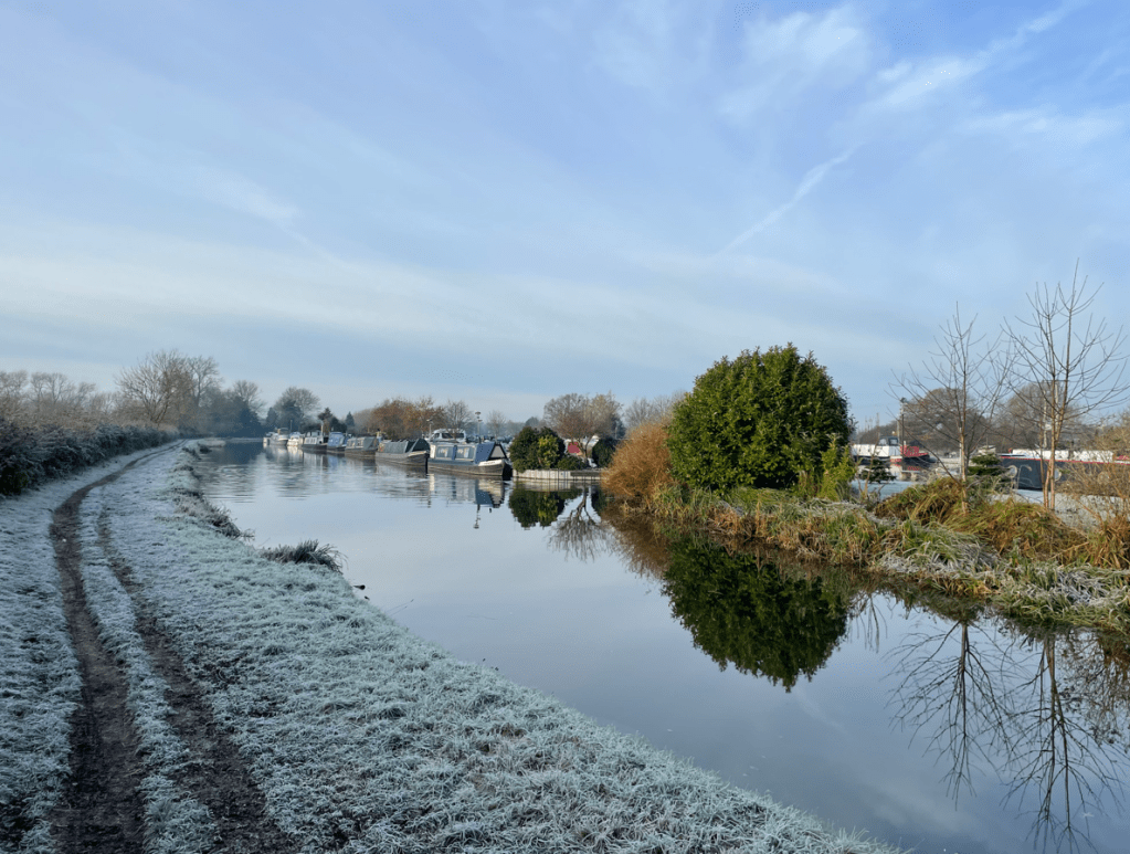
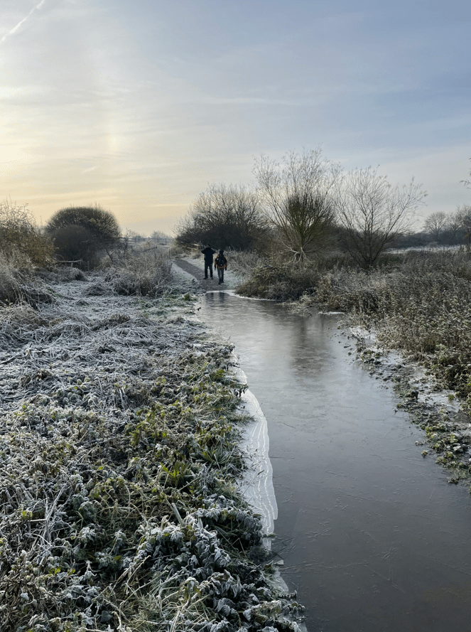
The frost lay white and crisp upon the grass and it looked a typical wintery vista.

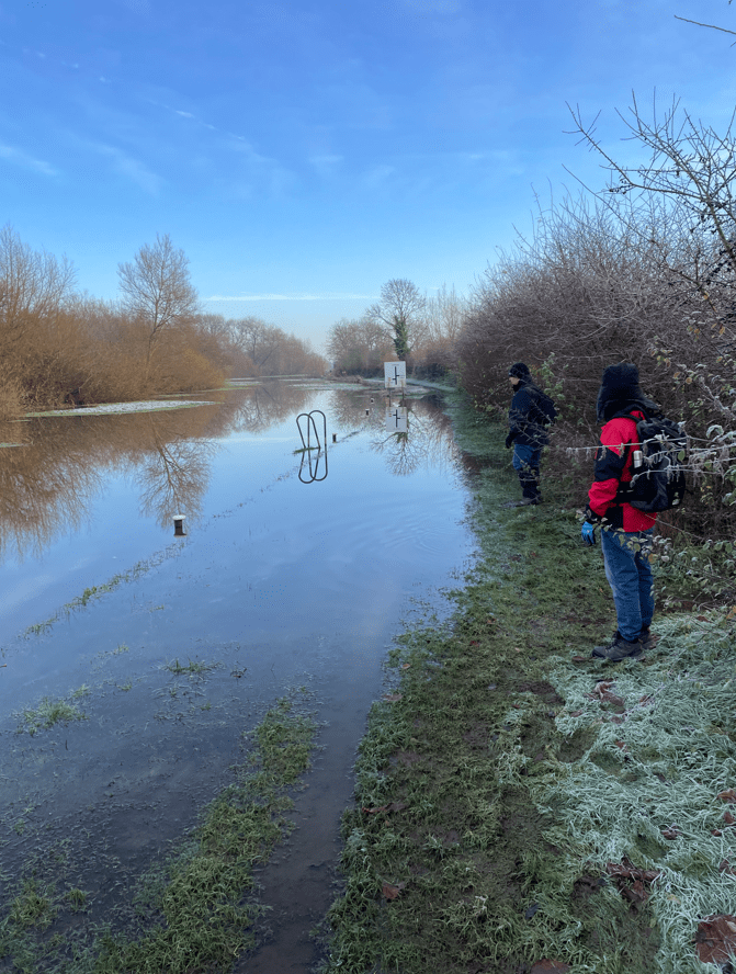
We hadn’t being walking for too long when we met a dog walker who informed us that the canal had breached its bank further on. We pressed on to see whether it was passable.
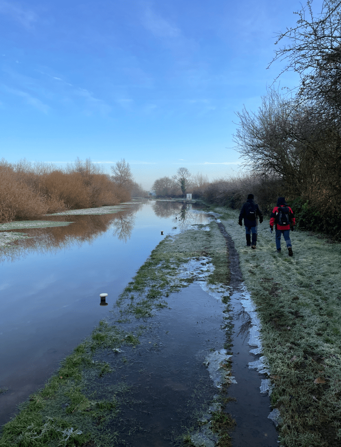
Chris went forward and, after assessing the situation, decided that we could pass through safely. So that’s what we did, and although our boots were submerged, our feet mercifully remained relatively dry.
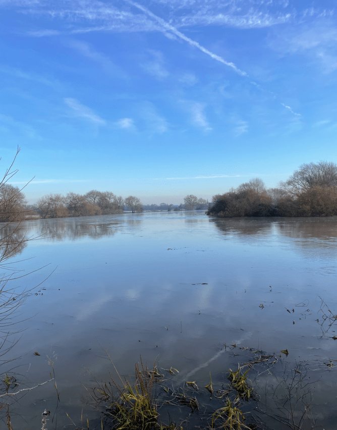
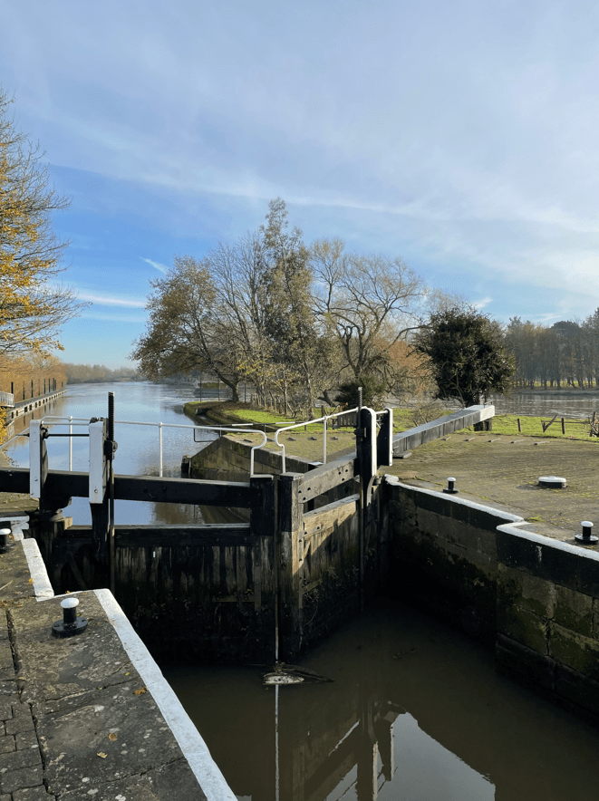
The canal would soon merge with the River Trent after passing through a lock. The river was very fast moving and the surrounding land flooded. We navigated our way across reeds to avoid another flooded path heading for a pedestrian bridge (Long Horse Bridge) to cross the river.
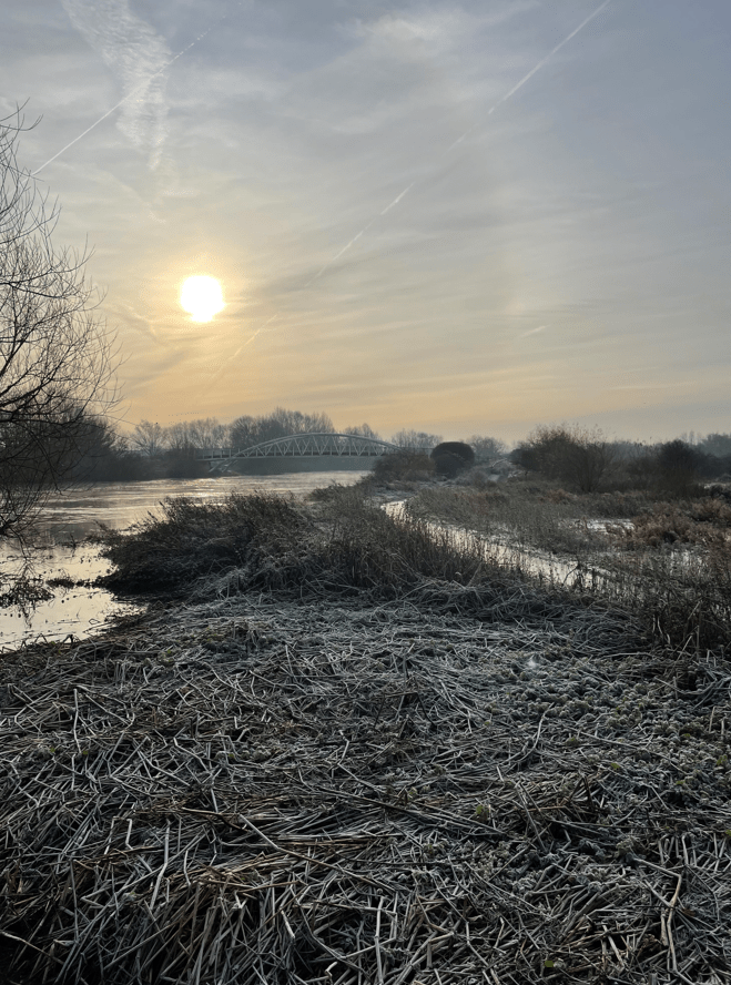
It was a good morning for capturing some nice images.
Our route took us under the M1 motorway.

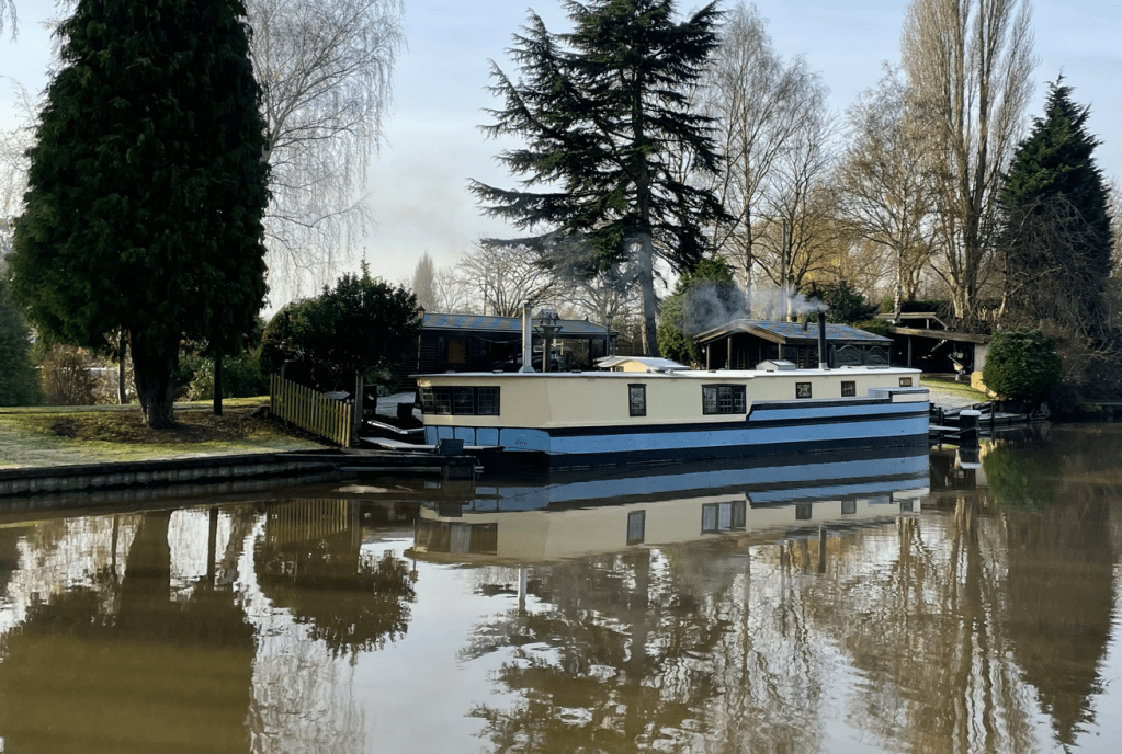
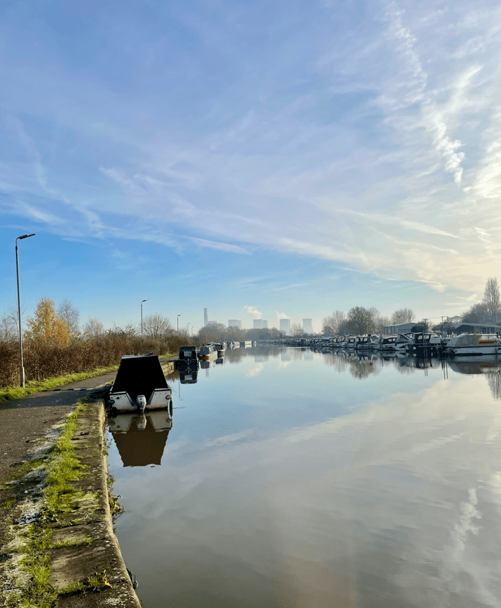
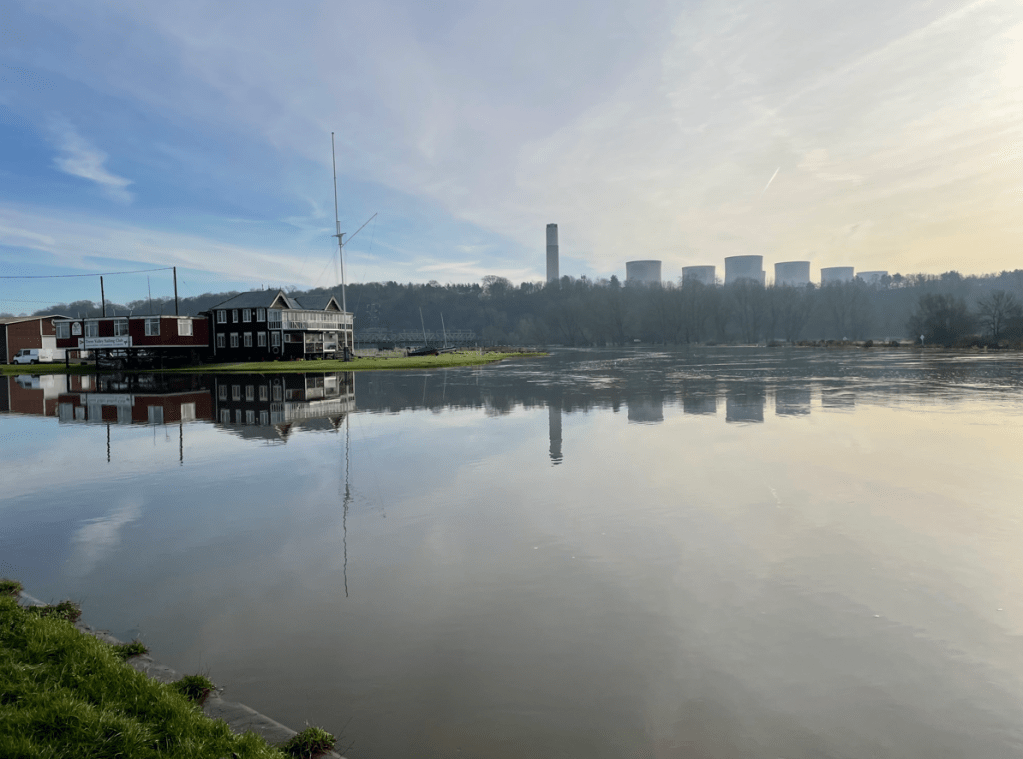
Continuing onwards we reached Sawley Marina where we found a great number of boats moored up. As we passed by it was nice to smell the aromatic wood smoke from the wood burners. There were some lovely boats moored there to admire.
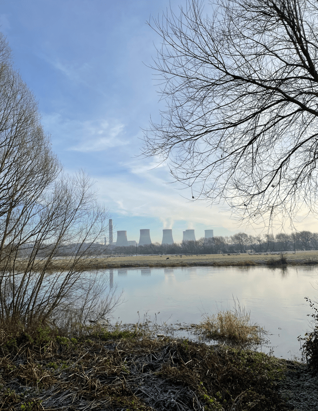
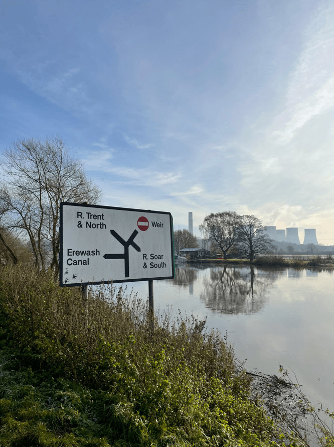
In the distance we could see the cooling towers of the recently closed power station at Ratcliffe-on-Soar. We could see what looked like steam coming from the cooling towers but, because the plant has closed, it must have been morning mist venting through the towers.
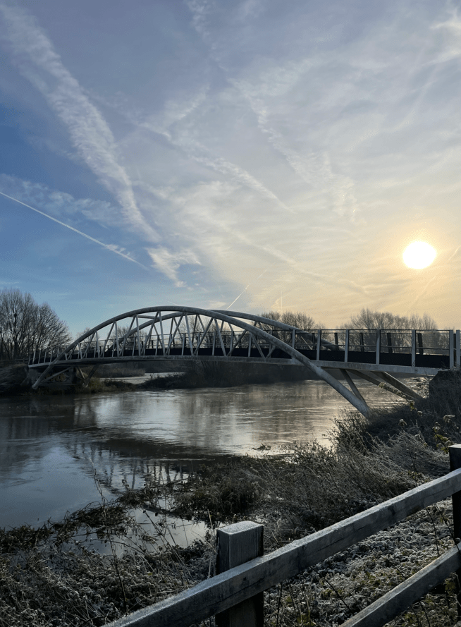
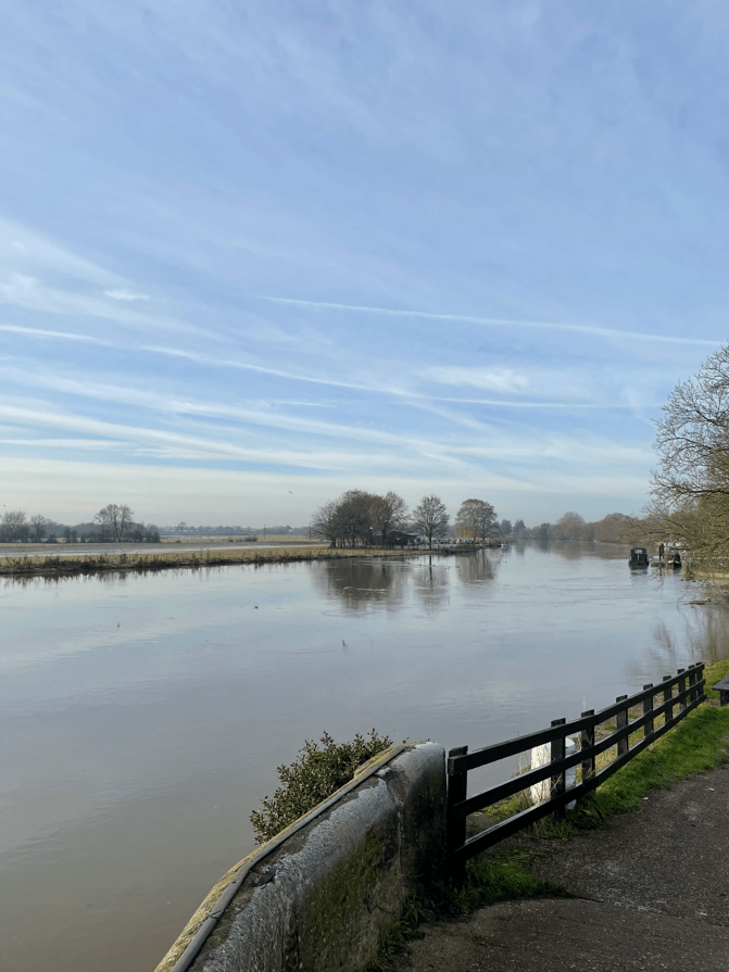
After passing Sawley Lock we crossed another bridge across the river Trent. The views of the fast moving river were impressive.
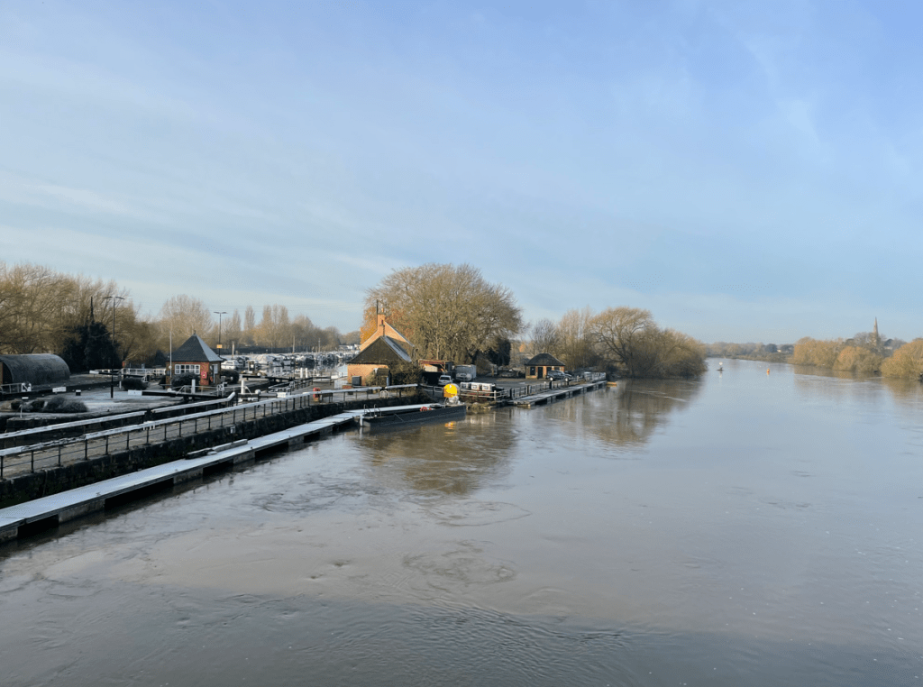
We were headed for Trent Lock which is a major waterway junction.
At Trent Lock there are two pubs and a tea room so I guess its a popular spot in good weather.
We stopped for a cuppa and a bite to eat here admiring the view. I do like walking beside water – its special. After our break we continued walking along the Cranfleet cut to reach the Cranfleet lock where we about turned and headed back.
Walking back we found that the flooded paths had receded slightly so that was a plus. I do wonder with global warming and the increased frequency and ferocity of storms how our waterways will cope in future years.
We all had enjoyed the walk and the weather.
Happy Walking! 😊🚶♂️

One response to “Navigating Flooded Paths: A Walk Along the River Trent”
It was interesting seeing the traffic sign for boats. Super wintery photos. 😊
LikeLiked by 2 people