Hello and welcome back to my blog 😊.
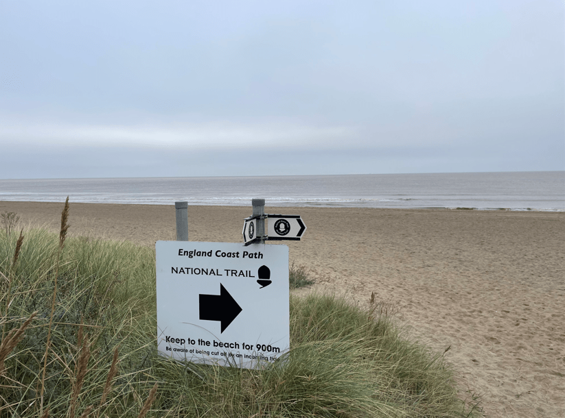
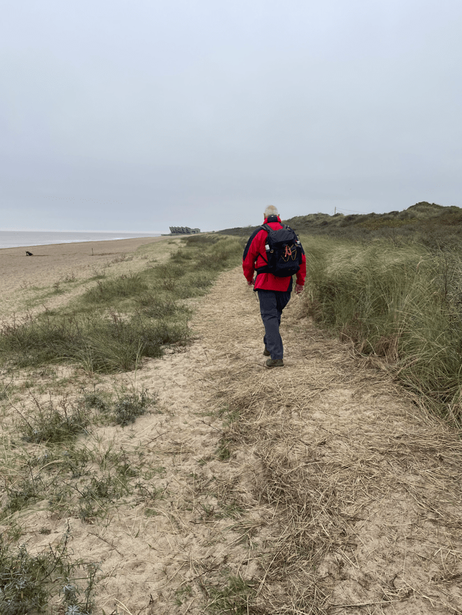
On todays walk Angela and I did a wonderful 13-mile ‘there and back’ coastal walk from Chapel St Leonards to Sandilands. We walked along the beach on the way up the coast and returned using the King Charles III England Coastal Path.
Arriving early in Chapel St Leonards the large car park was empty. We like to walk along this section of the Lincolnshire coast, but we only do it out of the tourist season. Our first port of call was the local Co-Op to get a butty for lunch and a coffee. Its always good to get the first caffeine hit of the day 😊.
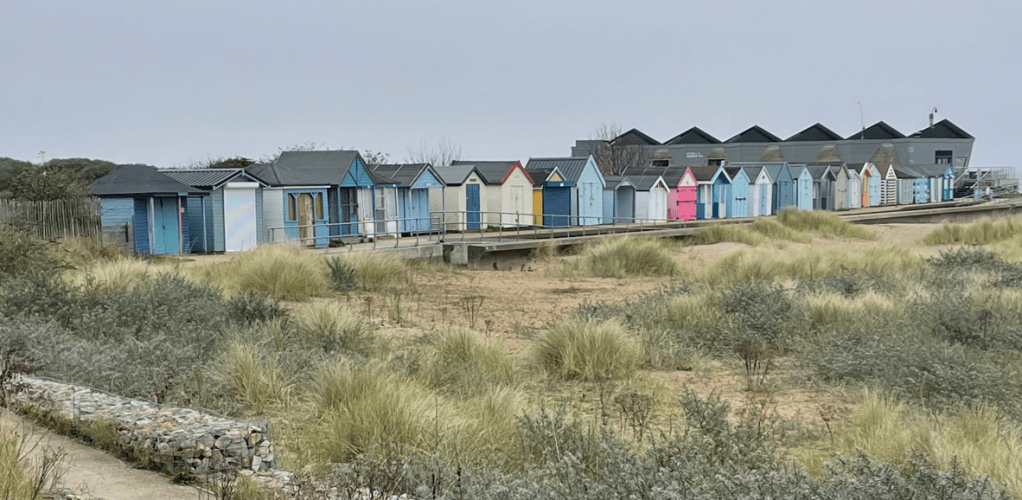
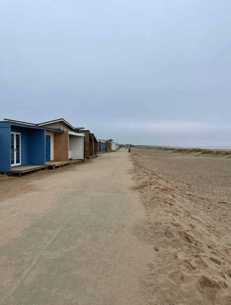
We walked past the wooden beach huts that line the promenade. I wondered how much it would cost to buy a beach hut – I know that in some places they cost tens of thousands of pounds.
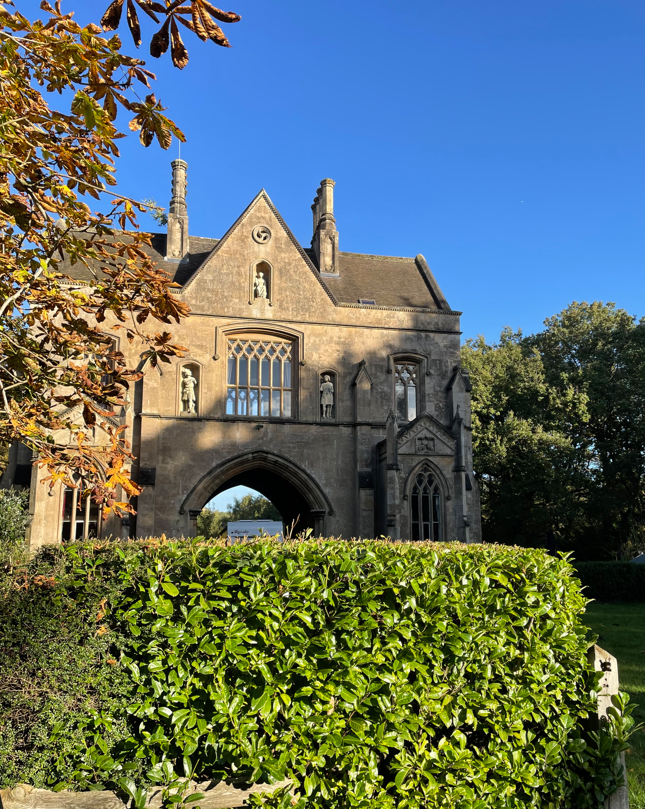
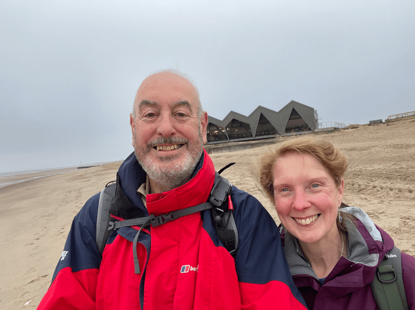
The promenade brought us to the North Sea Observatory at Chapel Point. Opened in 2018, and open all year around, it is a marine observatory but also houses a very popular café and exhibitions. I think the design is appealing.

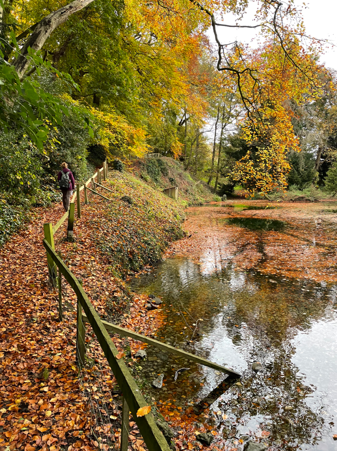
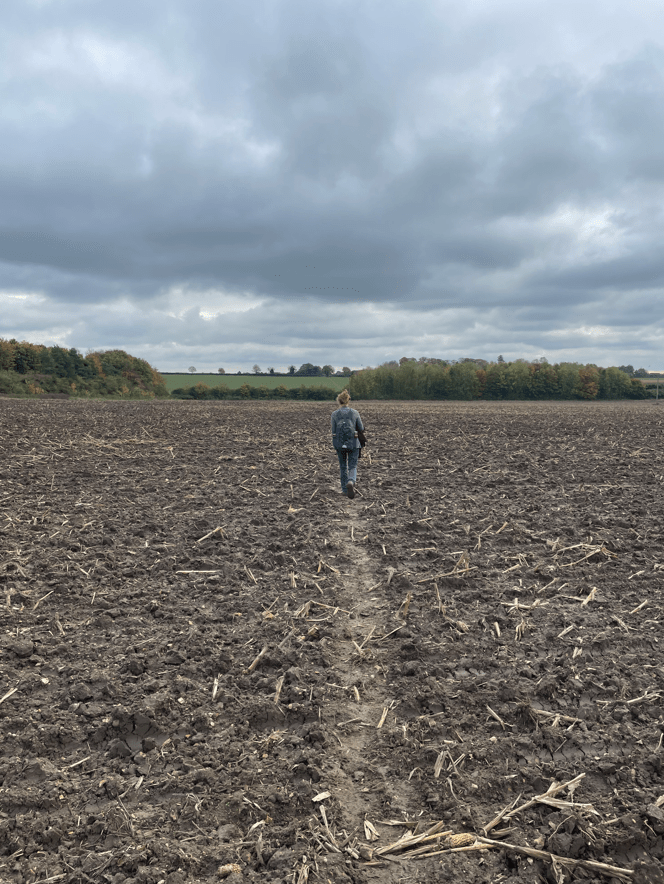
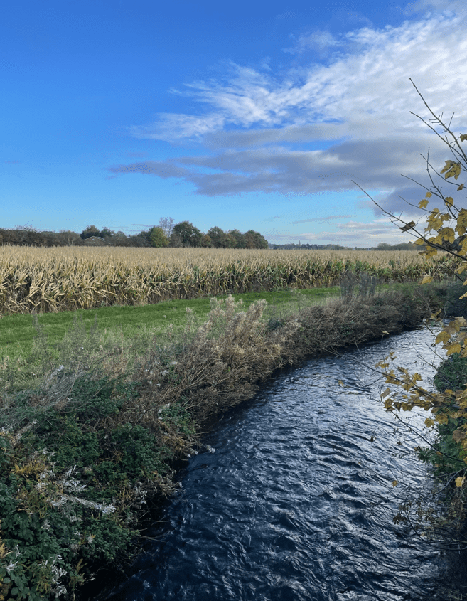
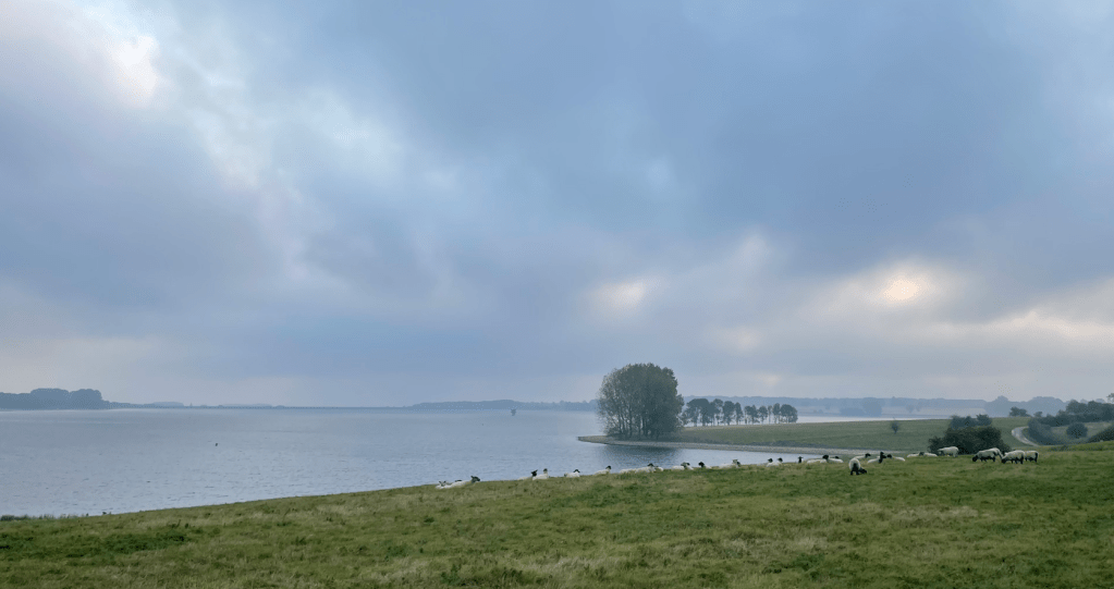
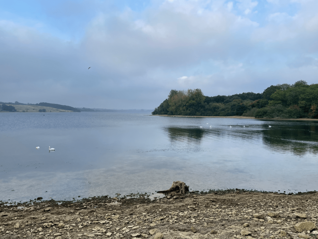
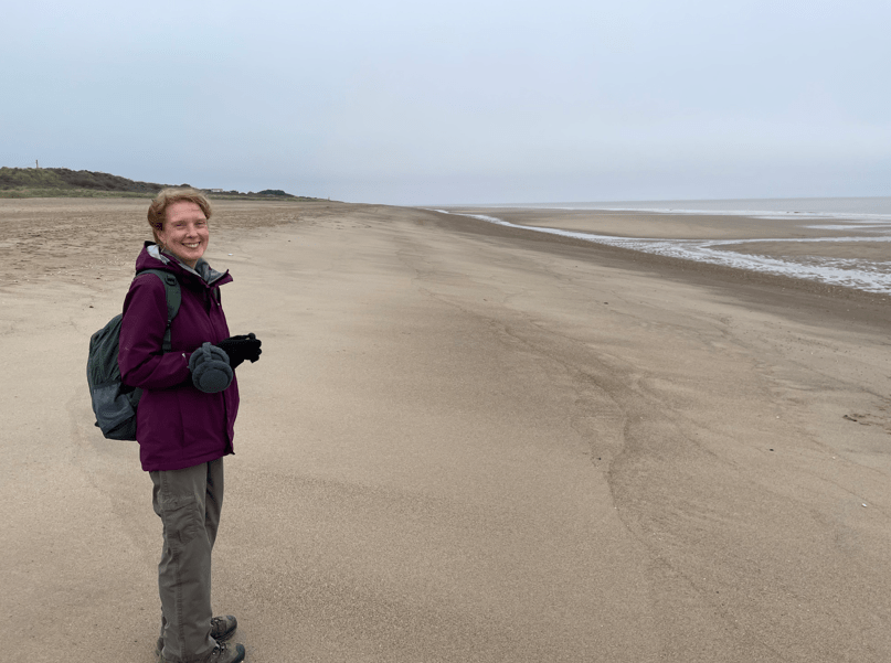
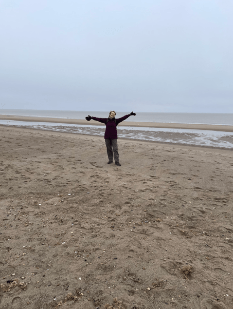
The beach was completely empty, no-one in sight. It feels like a rare privilege to have so much space to yourself.
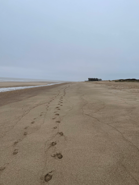
The tide was quite a way out. Its interesting how walking on a beach is more demanding that firmer ground and we were picking our path along the beach to find the best ground. All that was missing was the sun!
Out at sea we could just about see the wind turbines that line this section of the Lincolnshire Coast.
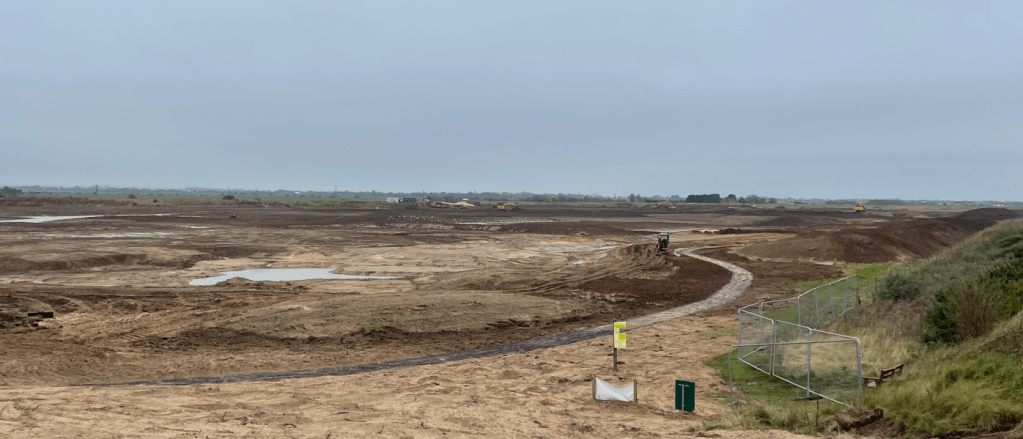
As we neared Sandilands we heard the loud reversing beepers of heavy plant coming from over the sandbanks. We thought that maybe, houses were being built, or yet another caravan park. Further on we were walking by beach huts again.
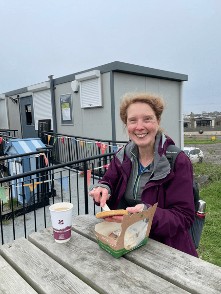
I spotted a pop-up café, and it turned out to be run by The National Trust. We didn’t expect this but were delighted to visit it. Talking to the friendly staff we learnt that the Trust is creating new habitats for a variety of wildlife. Especially migrating birds like black-tailed godwit, spotted redshank and spoonbills. This area is on the ‘fly-way’ migration route. The Sandilands project is a big job.
Work only started last month on transforming what was previously a golf-course. On our return, leg via the coastal path, we could clearly see the work in progress.

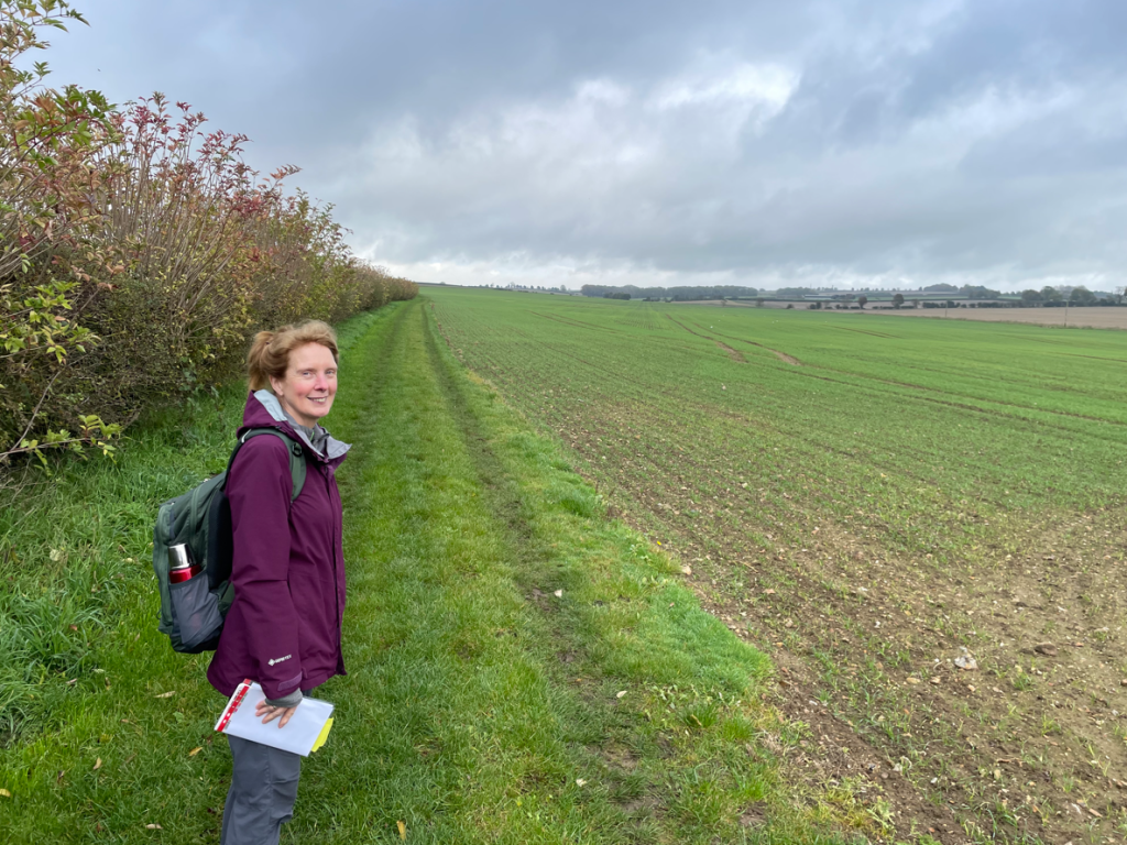
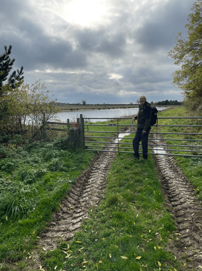
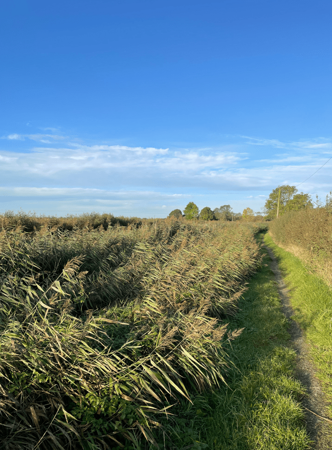
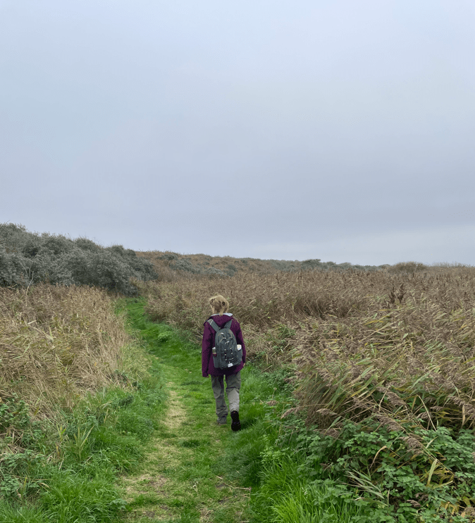
The coastal path took us behind the sandbanks and along grassy paths. It was much easier than beach walking.
Eventually, we were returned for a short section along the beach.

Arriving back into Chapel St Leonards we visited the award winning fish n’ chip shop called Marina – it was very good and enjoyable after a long walk. There were signs that darkness was on its way as we headed to the car park for the drive home.

Happy Walking! 😊🚶♂️