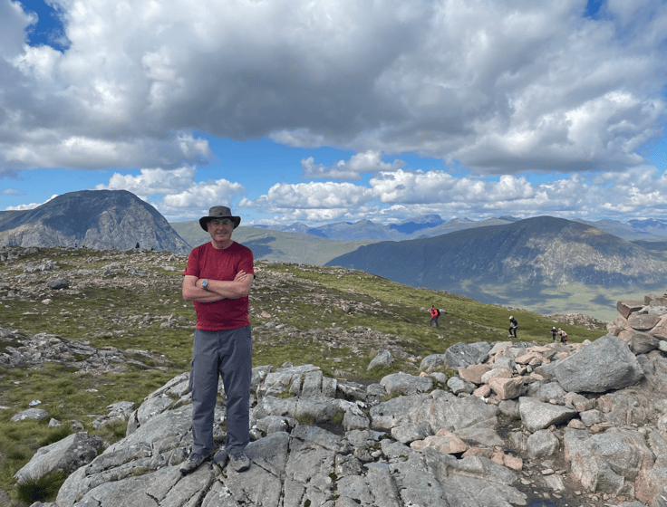
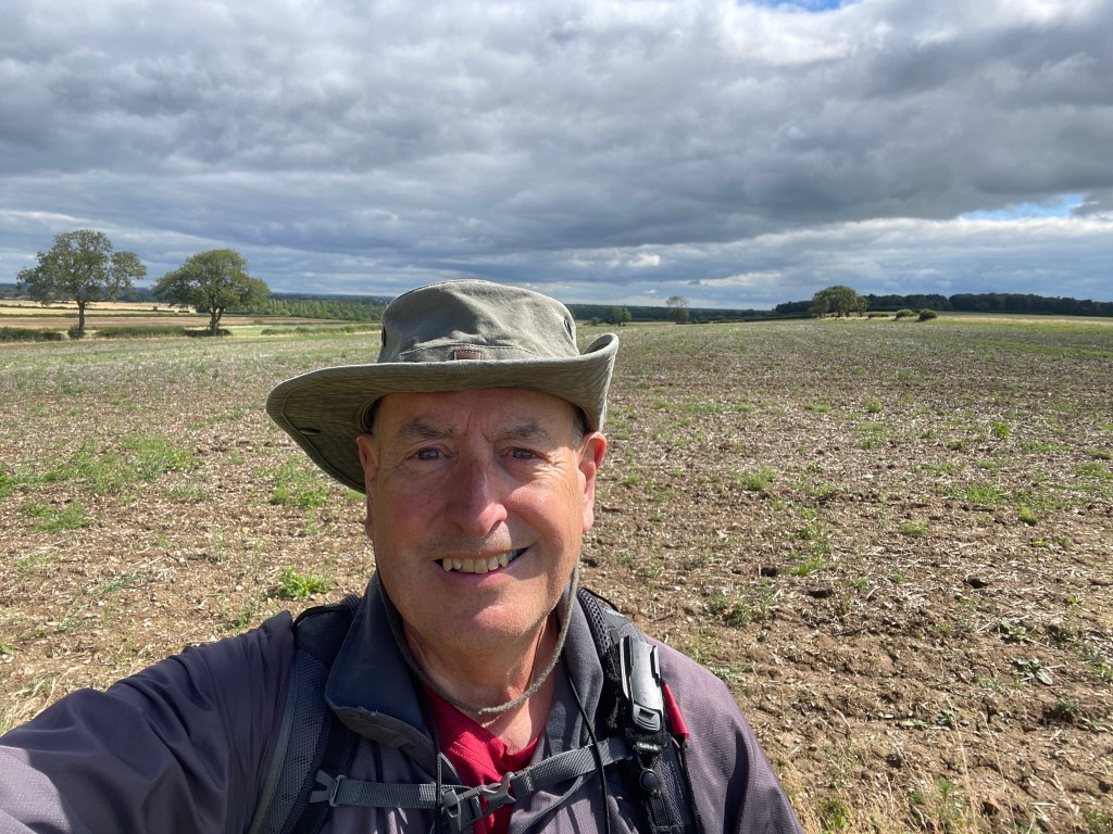
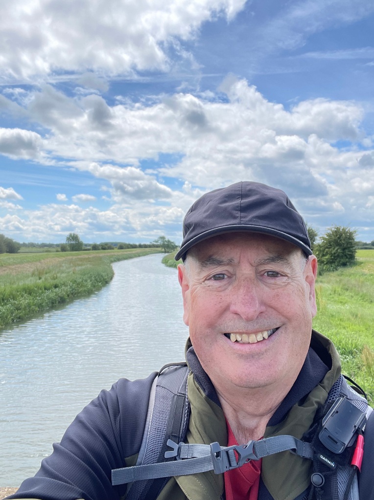
Hello and welcome back to my blog 😊.
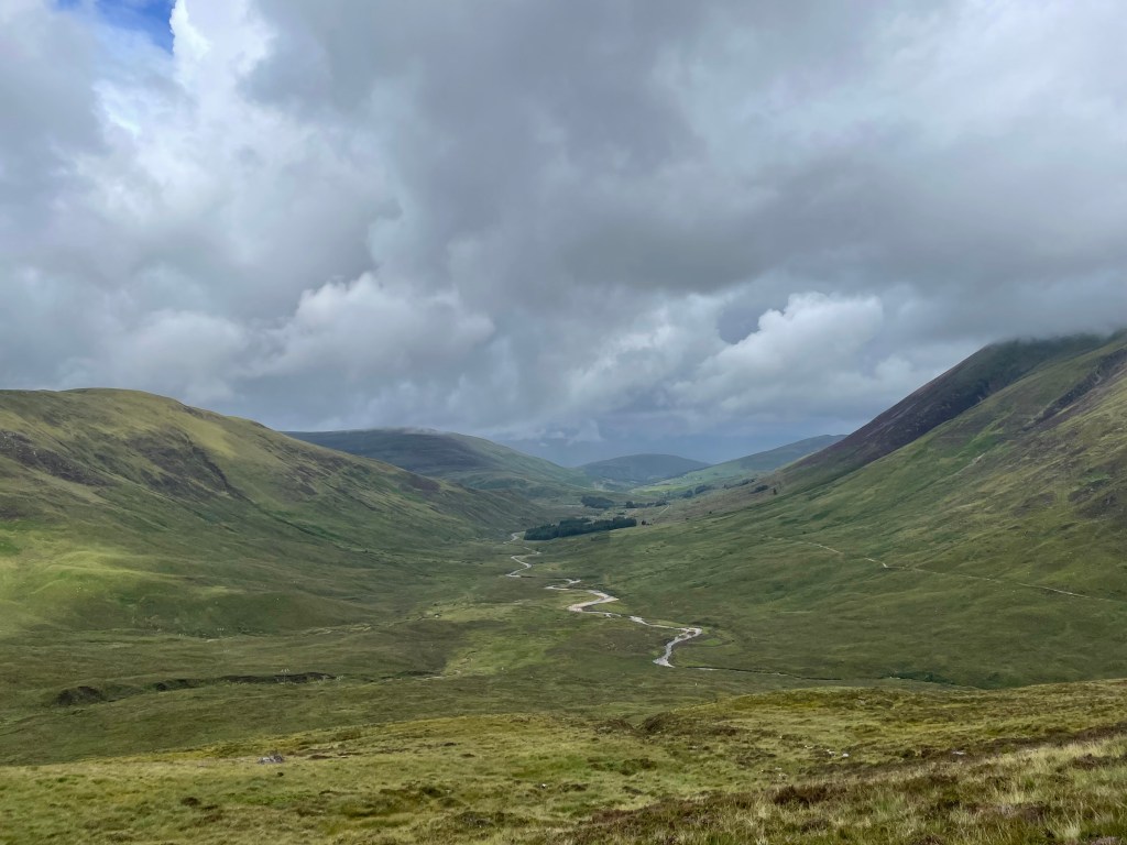
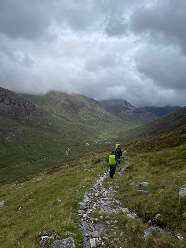
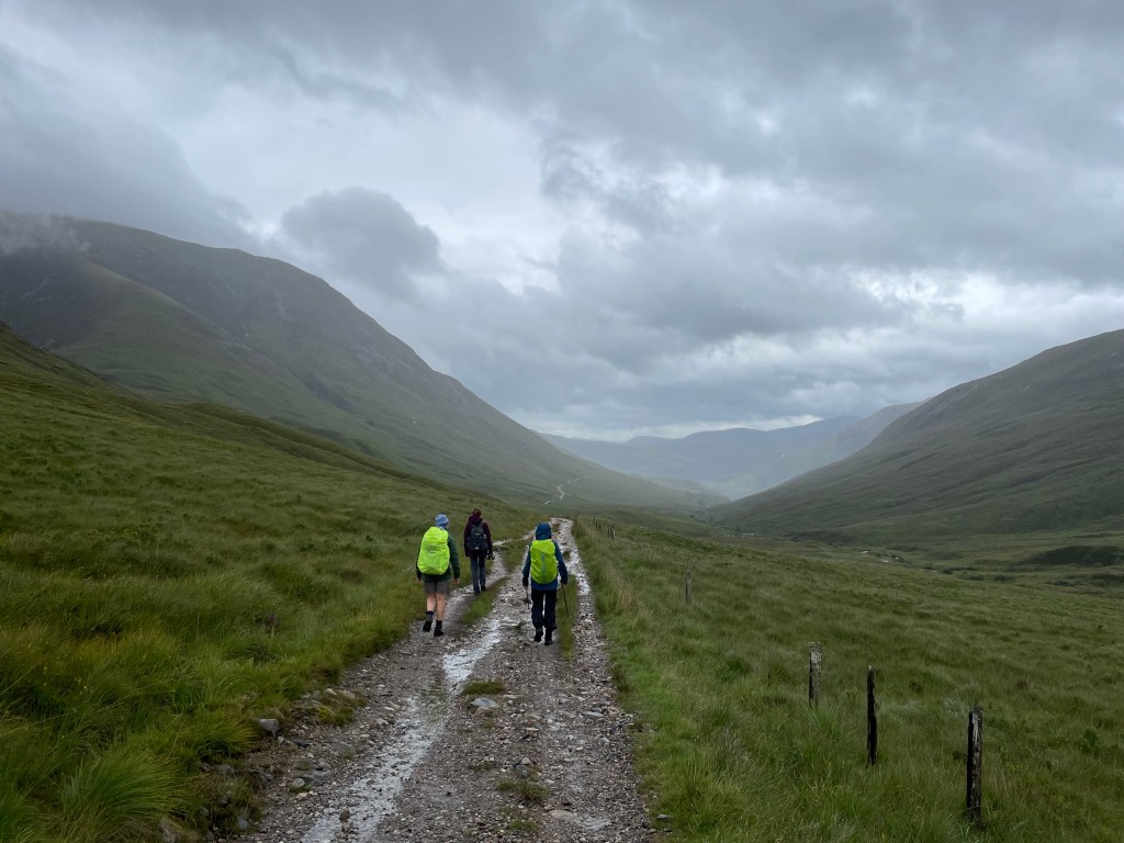
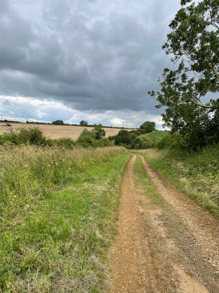
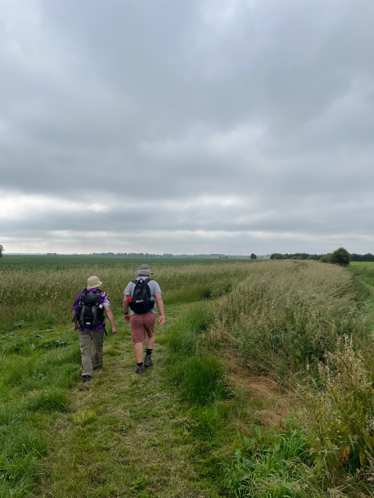
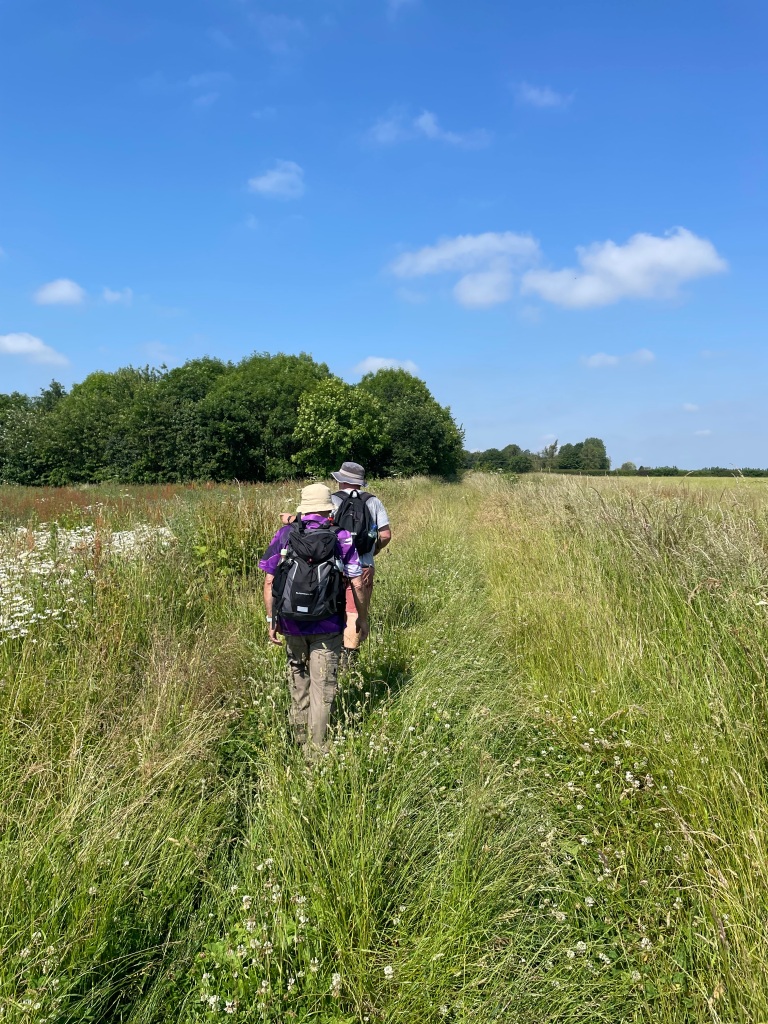
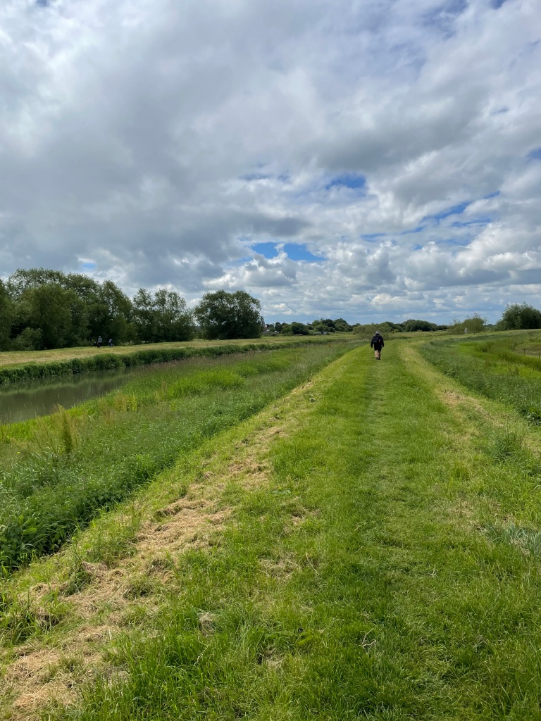
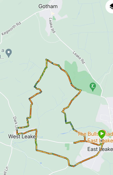
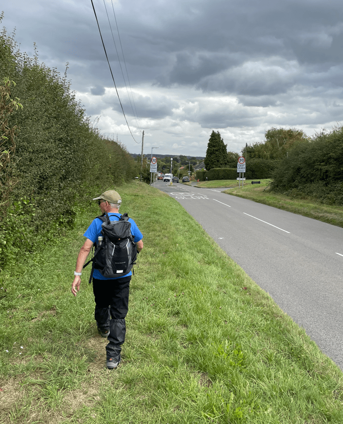
This morning myself and Mick enjoyed a 7.9 mile circular walk in the West Leake hills. Starting in East Leake, our route took us towards West Leake across the rolling hills where we had views across the Trent Valley towards Nottingham.
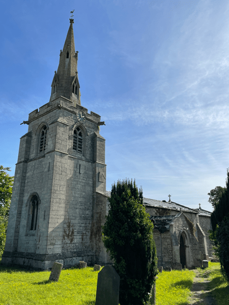
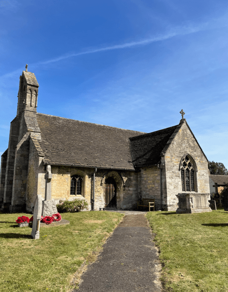
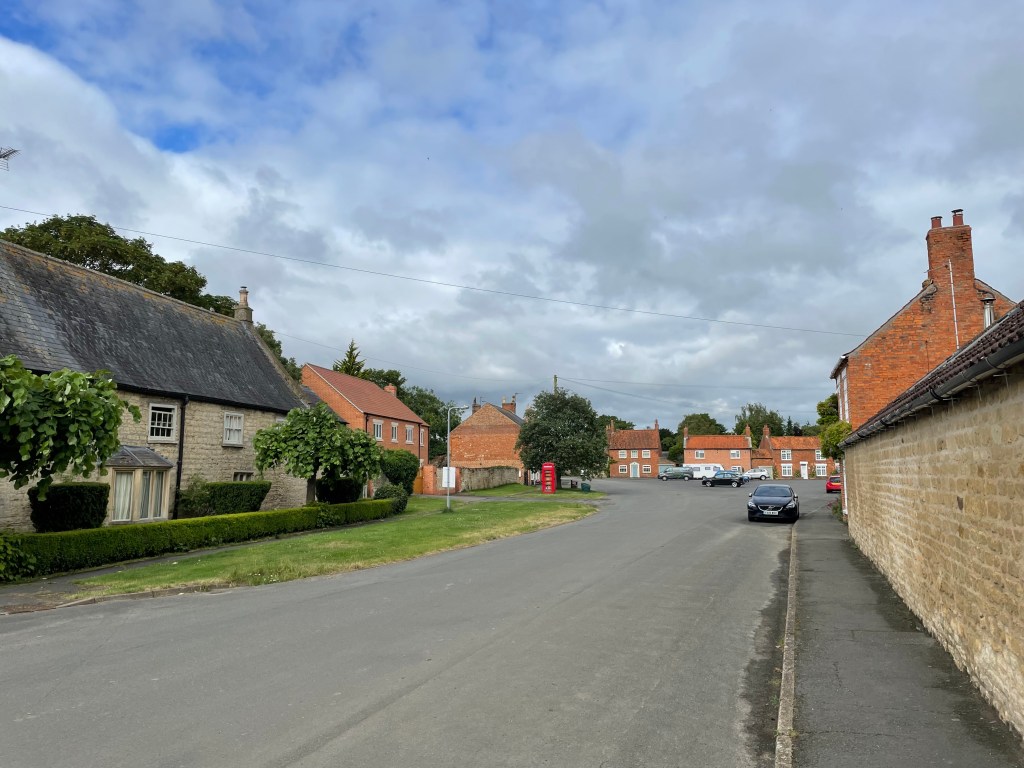
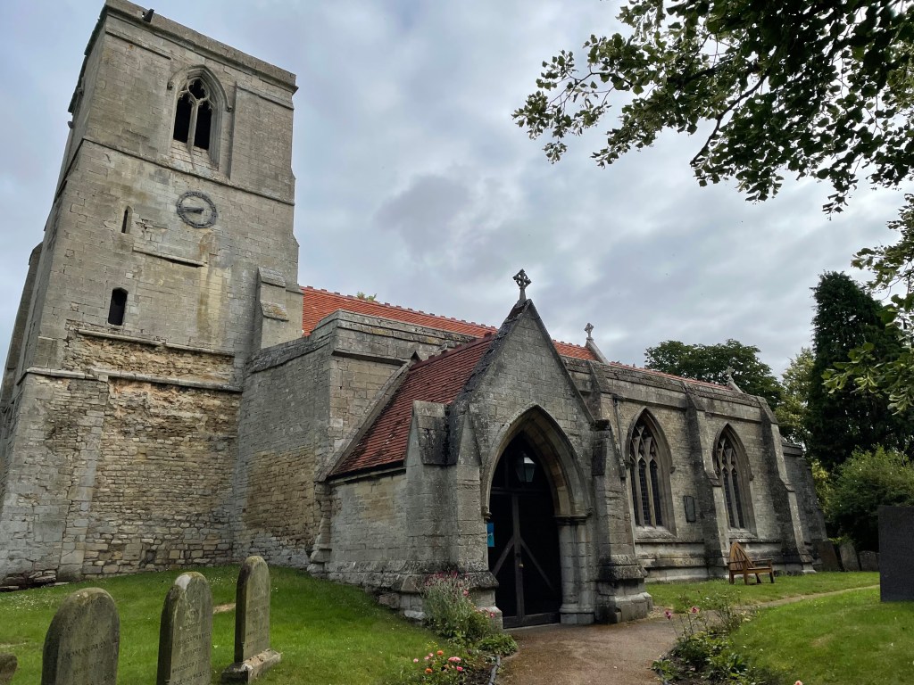
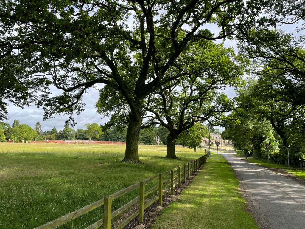
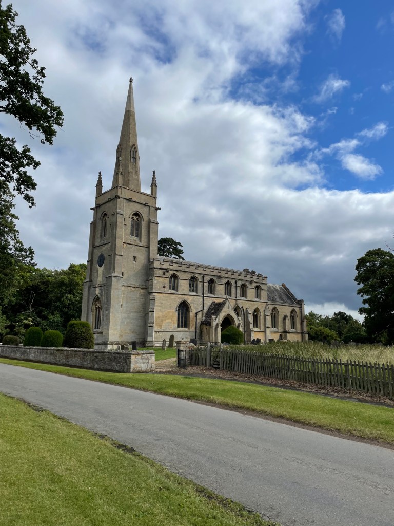
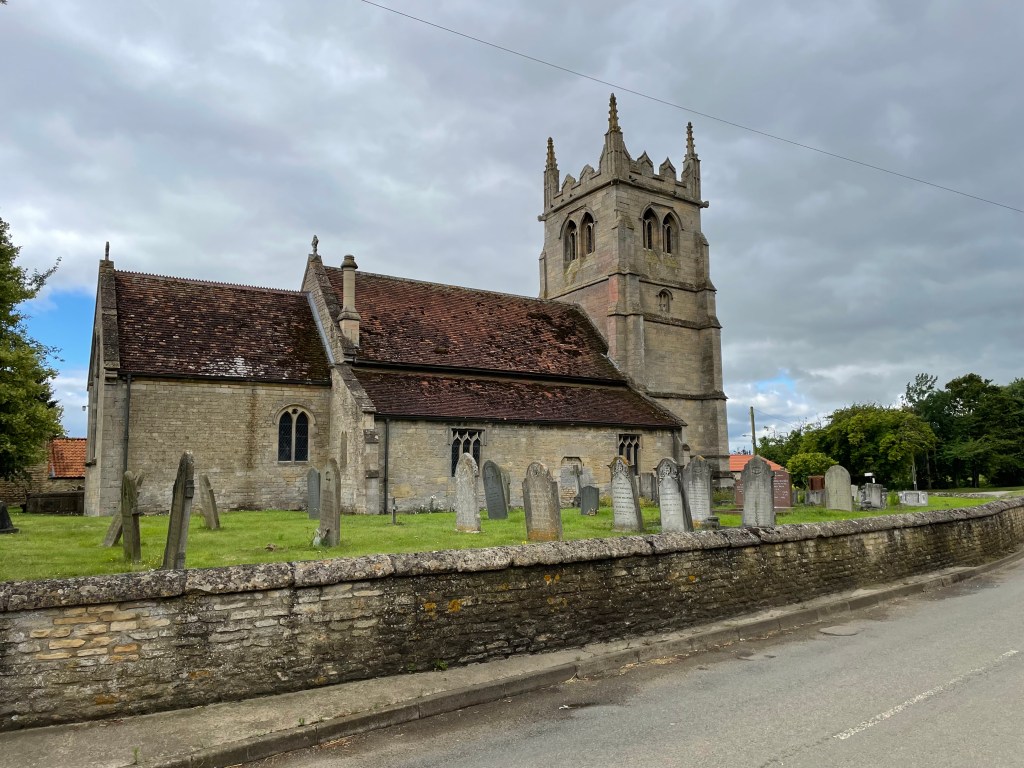
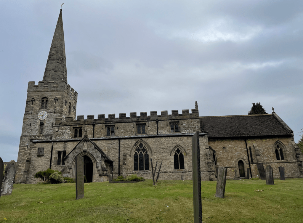
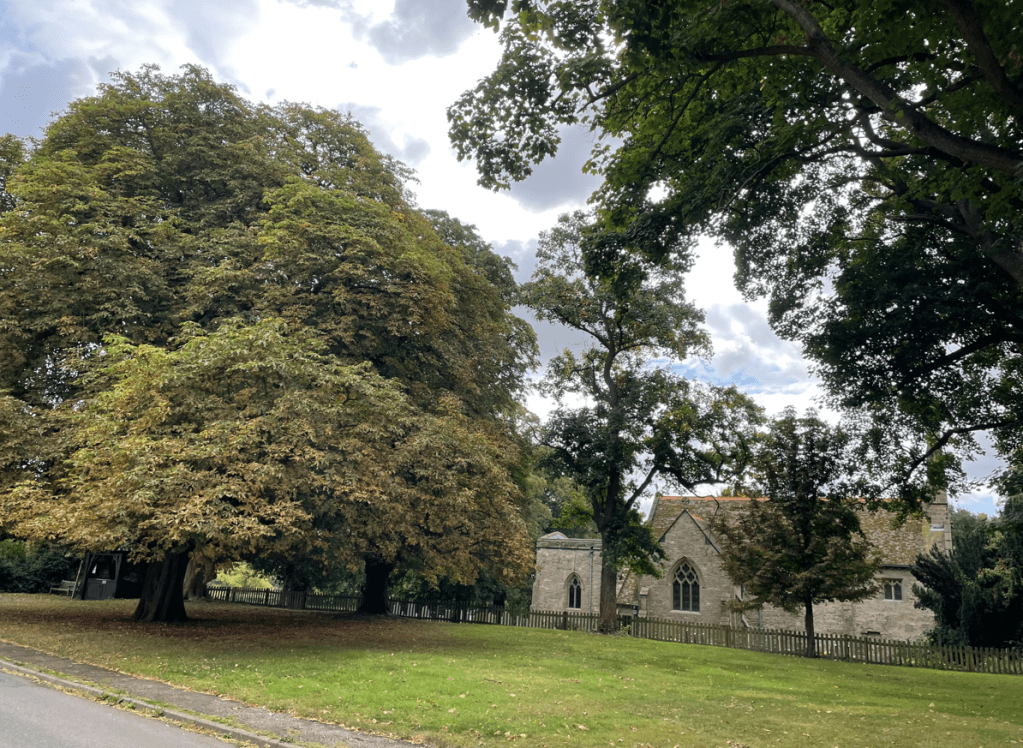
Our walk started close to St Marys church in East Leake.
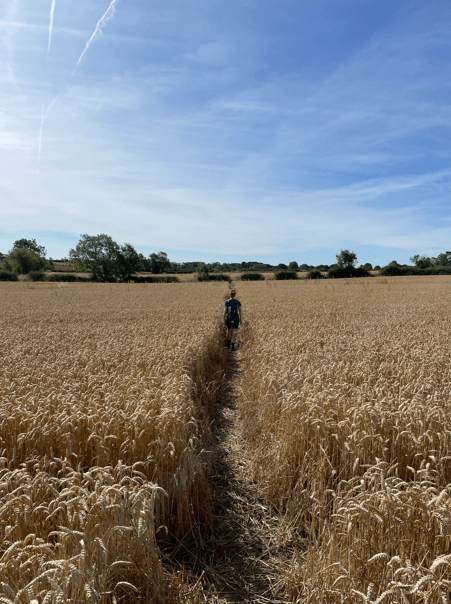
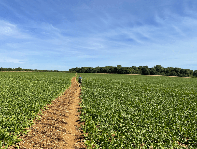
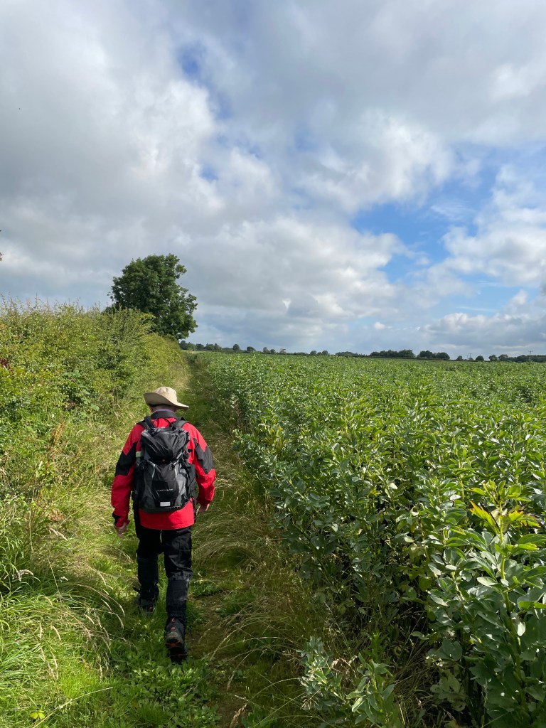
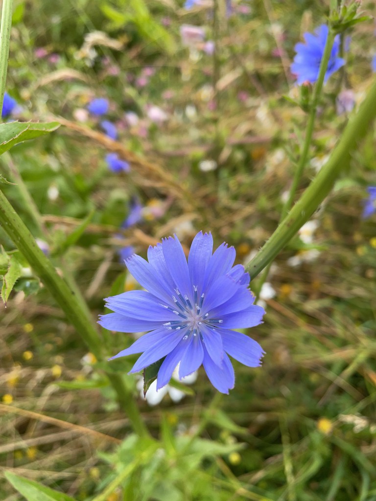
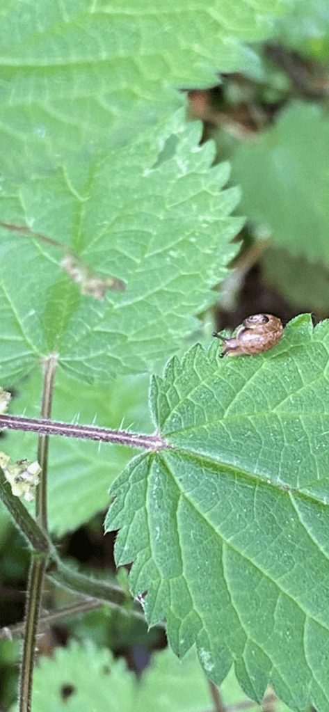
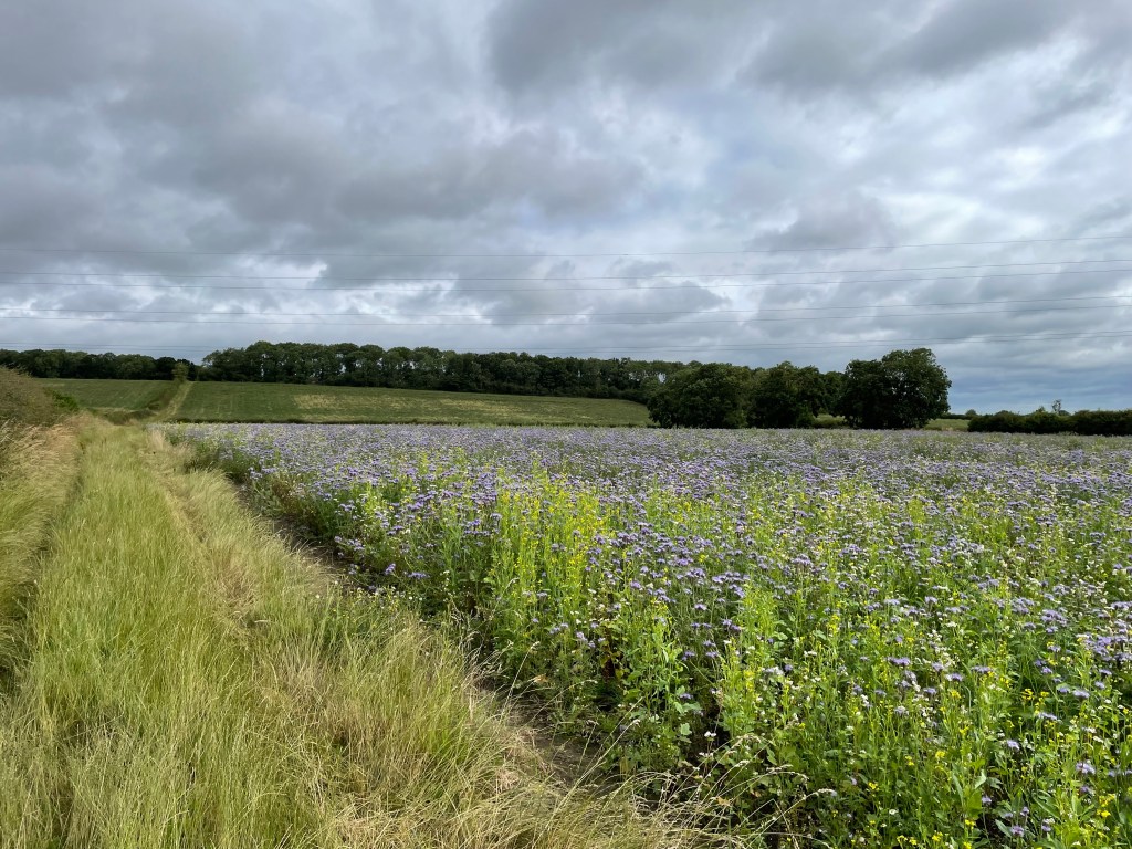
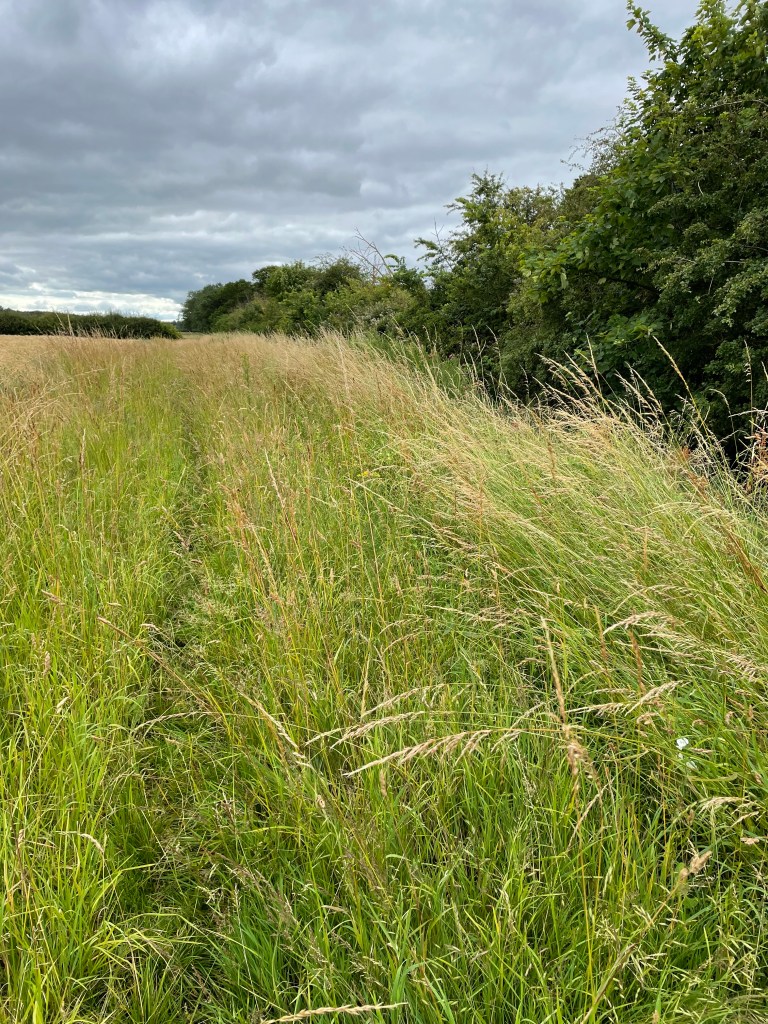
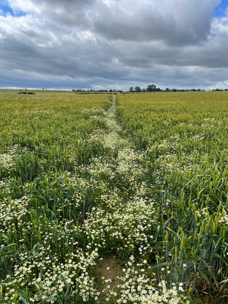
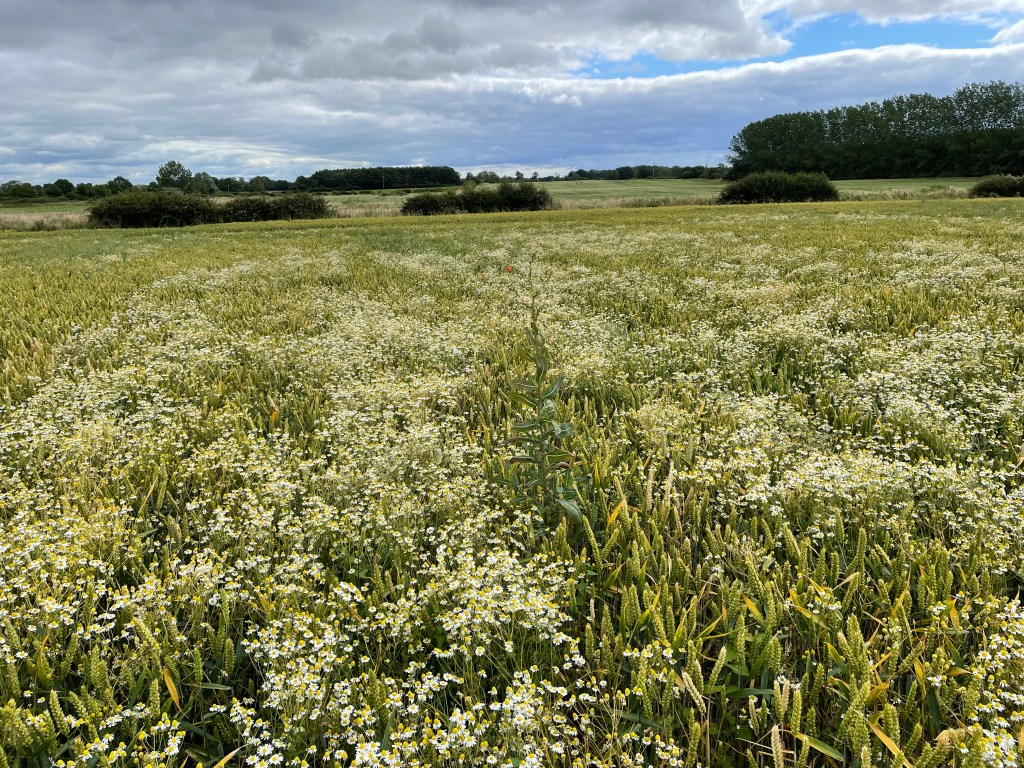
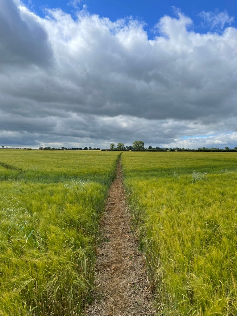
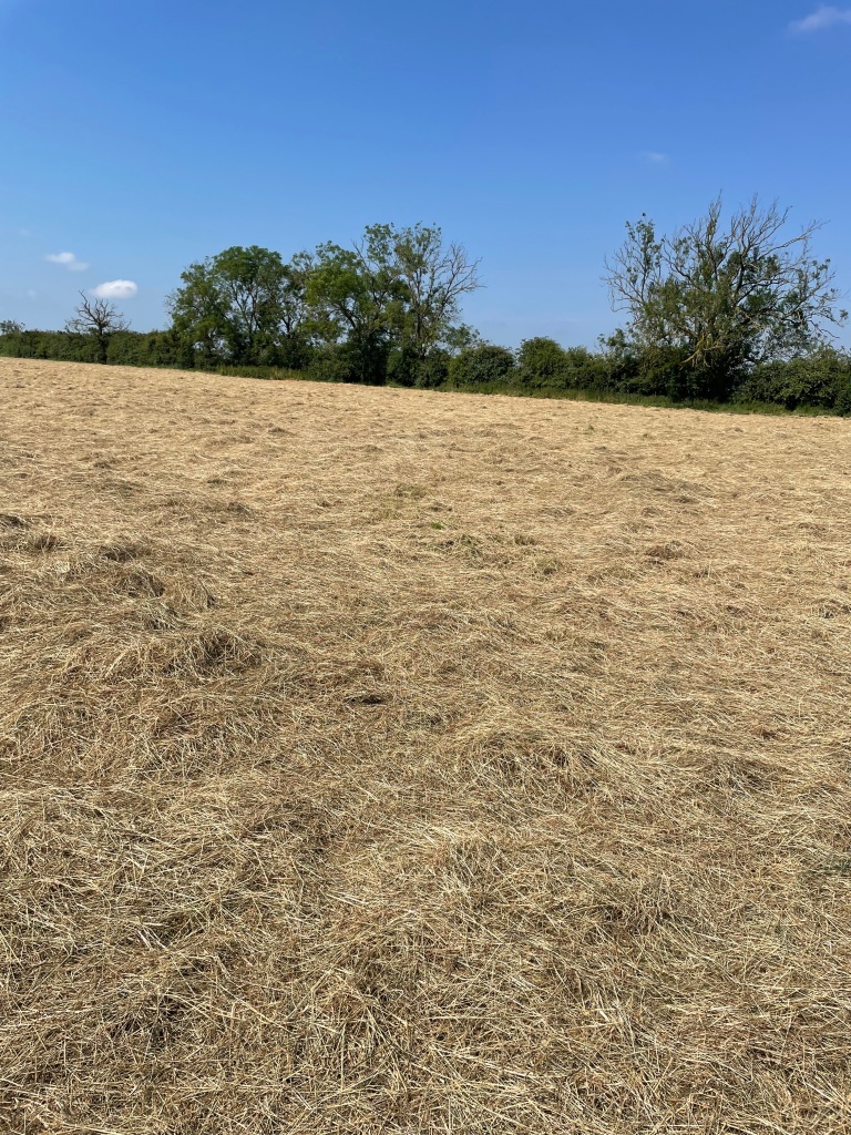
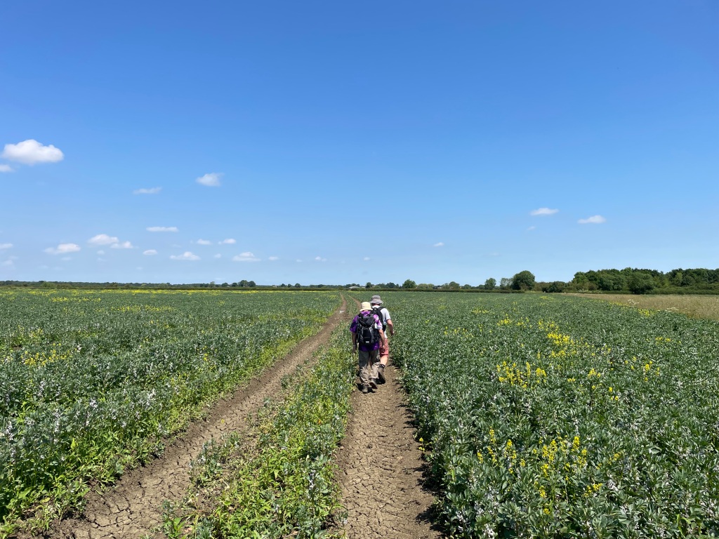
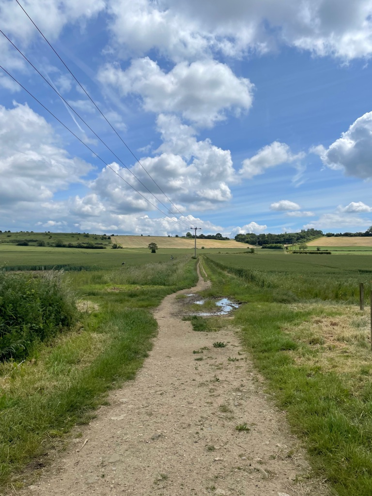
After a short walk through the village we headed across fields where, already, trees were turning autumnal colours. Summer seems to have passed me by I feel.

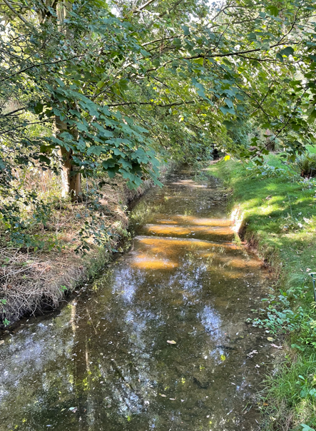
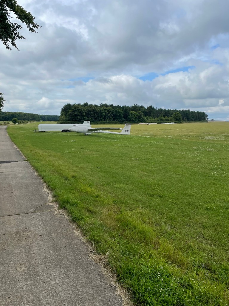
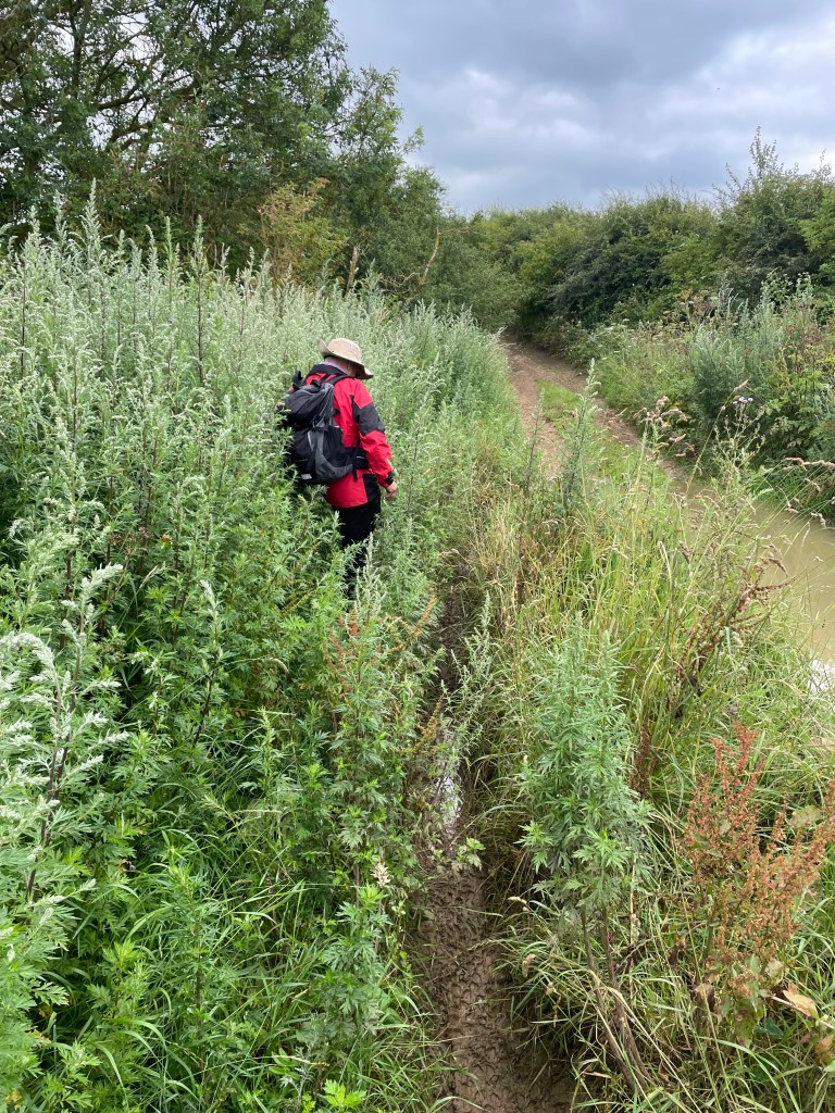
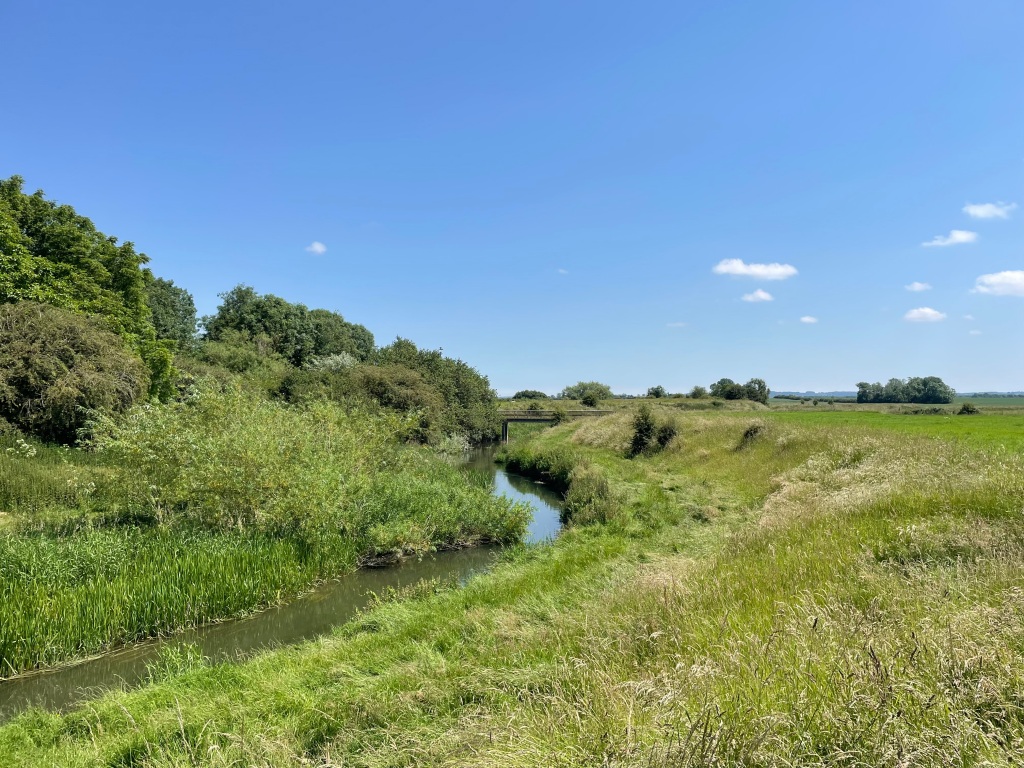
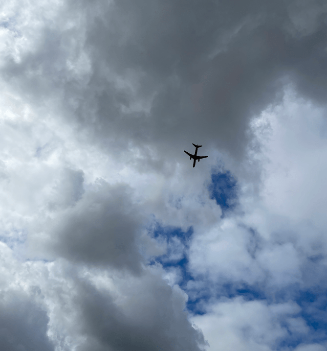
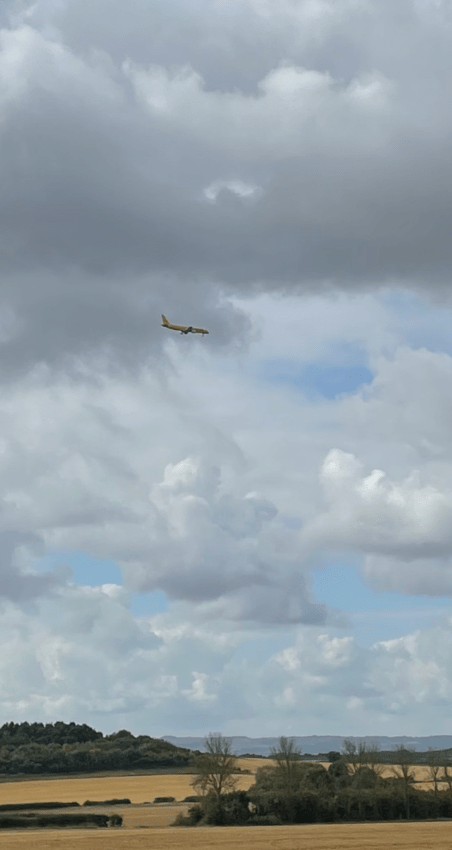
We crossed Kingston Brook and headed up Fox Hill diverting off a narrow boxed in path into a field to avoid nettles and brambles. Here we saw our first DHL plane flying low over us – East Midlands Airport was close by. Over the walk we would see numerous planes overhead because we were under the flight path for landing. The airport has passenger flights but also handles a lot of cargo flights.
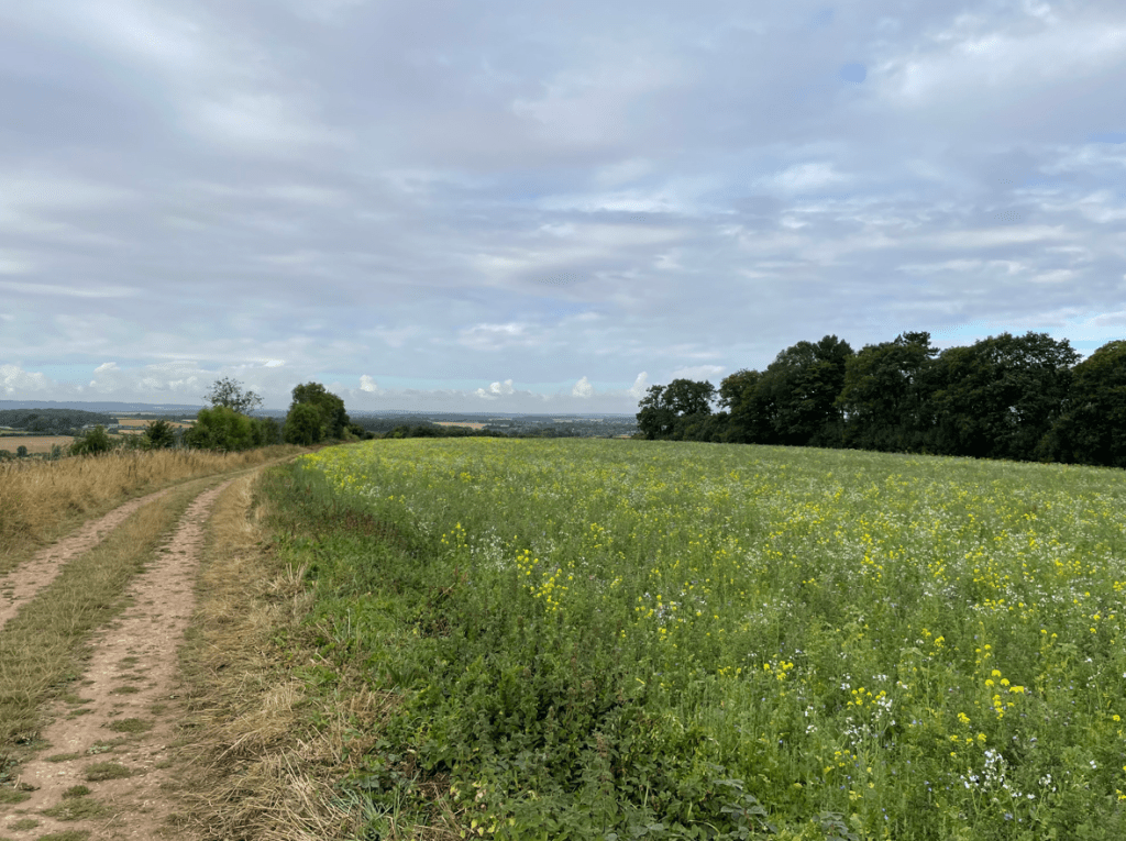
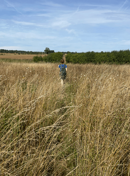
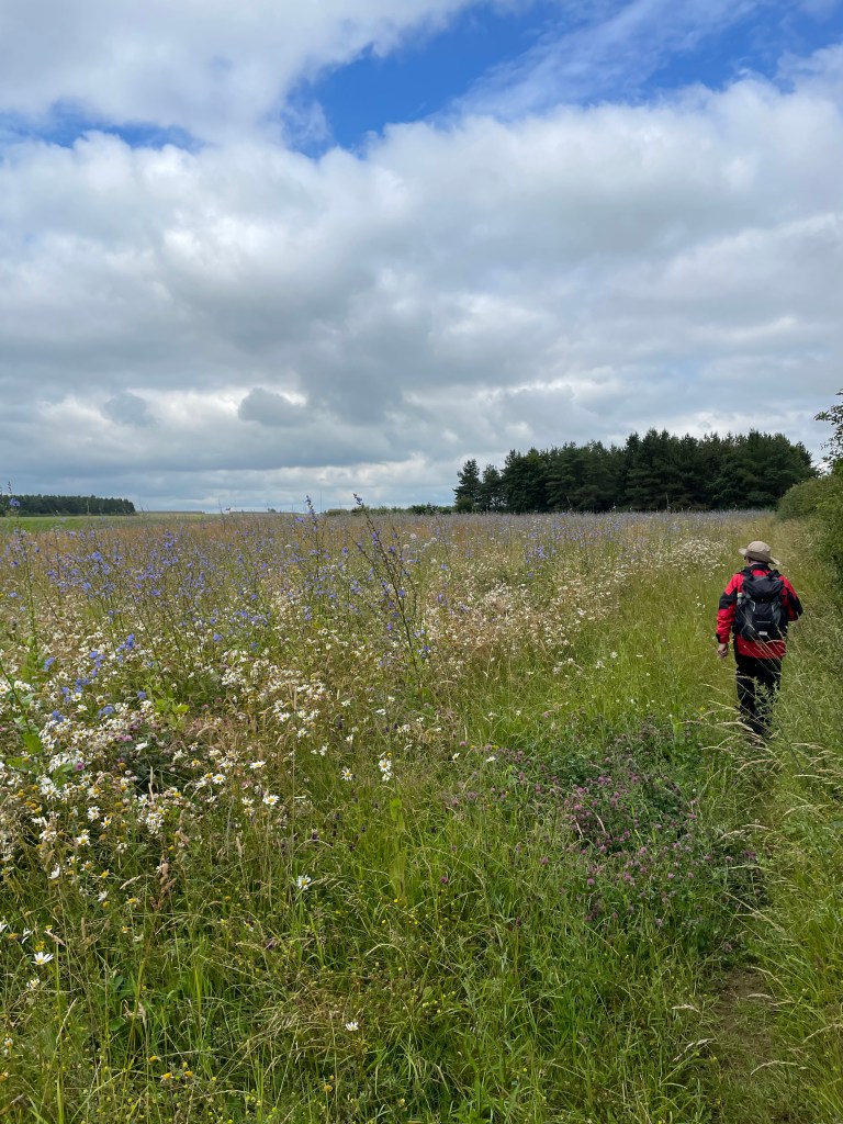
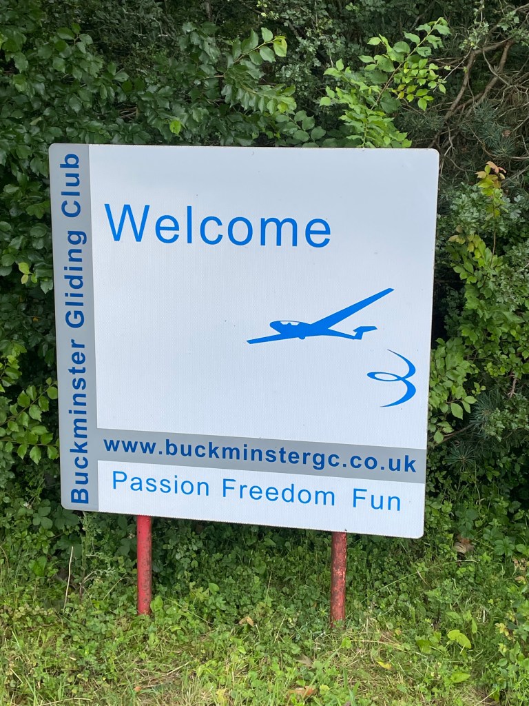
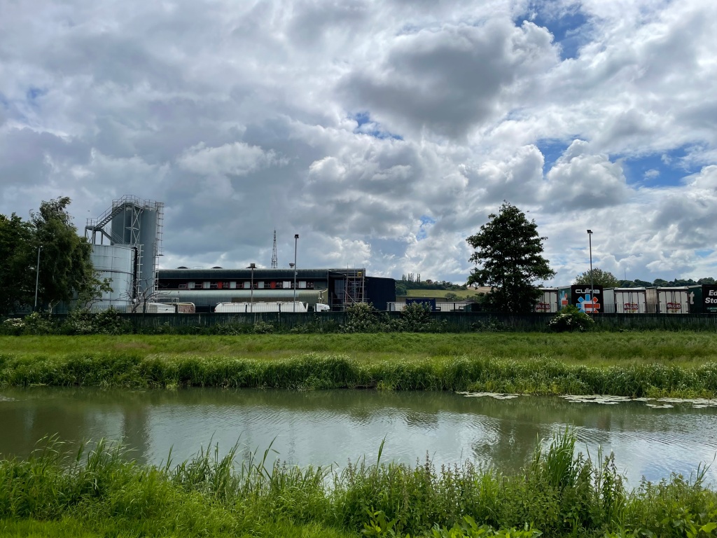
A short section along the Midshires way brought us to Rushcliffe golf course where our path crossed by the side of some Greens. Arriving at Leake New Wood we followed the path on the outside of the wood where we had nice views of the village of Gotham (nothing to do with Batman!) and beyond. I had hoped to see some views of the very large Gypsum factory but they were obscured by trees. We stopped here for a cuppa at a handy bench and took in the view.
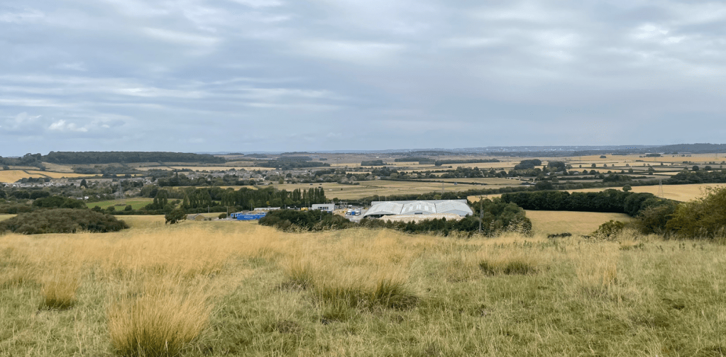
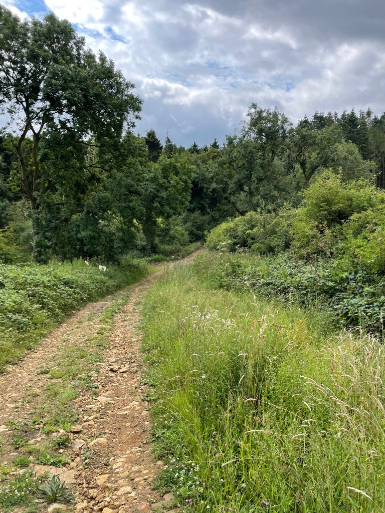
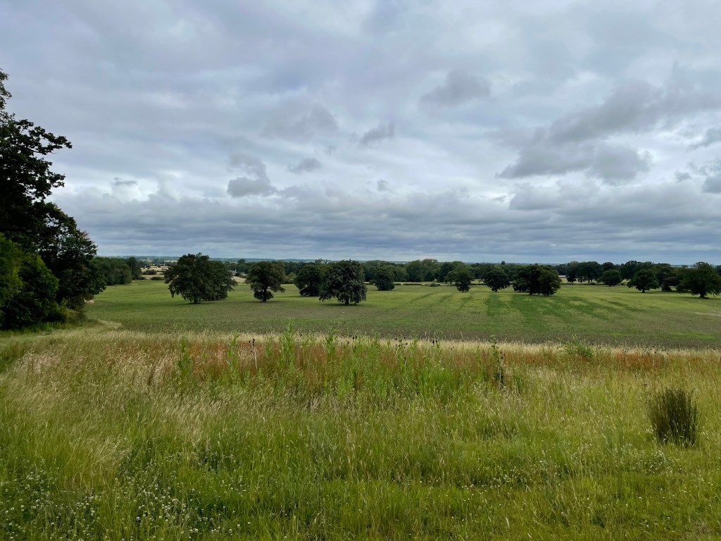
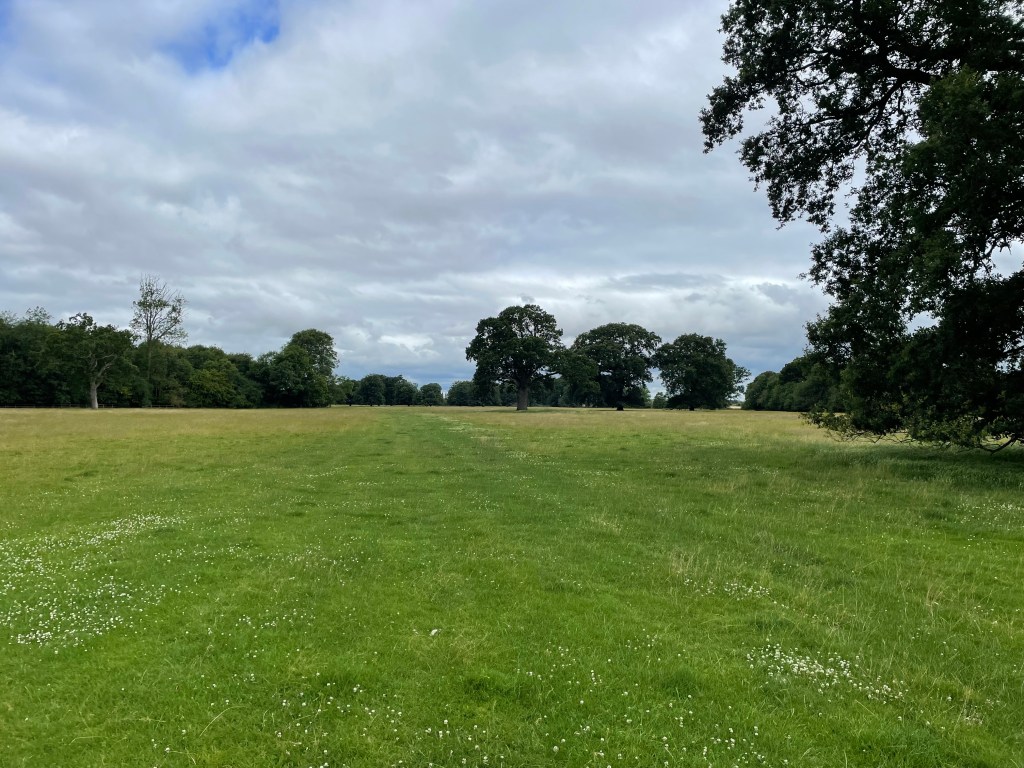
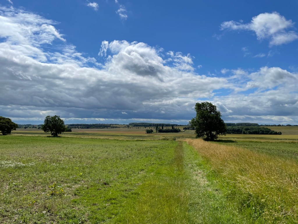
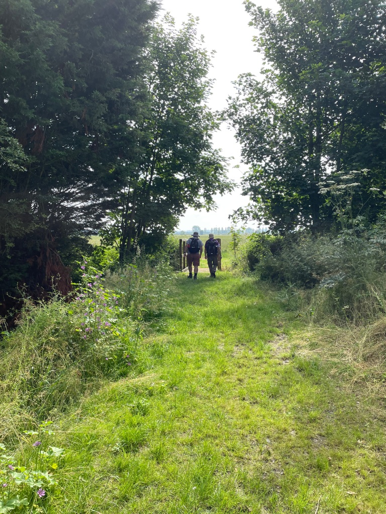
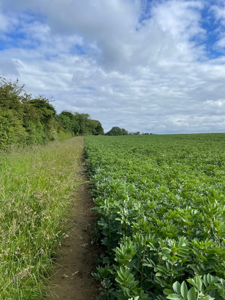
Pressing on we walked through the wood and were surprised to find the path muddy in places. Emerging from the wood we headed downhill, again with extensive views.
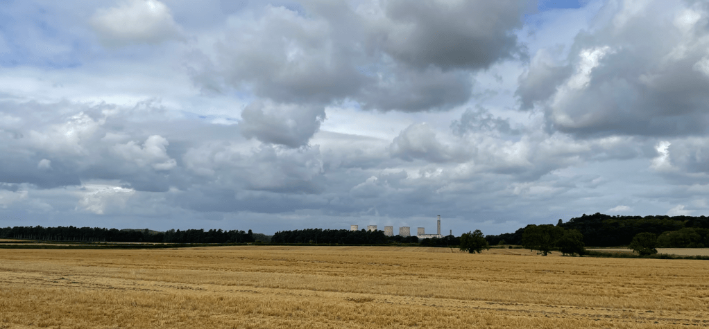
Further on we saw Ratcliffe- on- Soar power station in the distance. Its large cooling towers are a local landmark but probably for not much longer because the coal fired power station will be closing.
Overhead the incoming planes continued to roar.
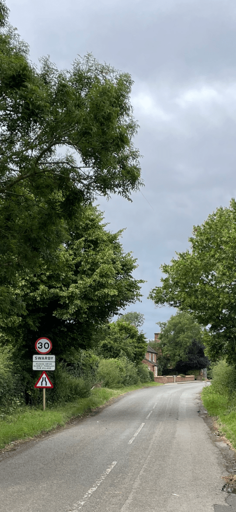
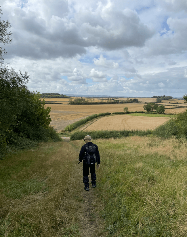
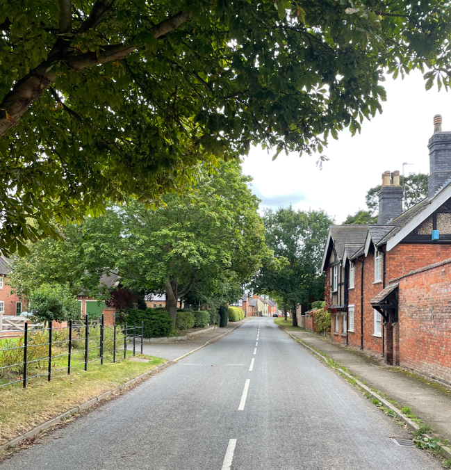
Soon we were arriving into the small quaint village of West Leake. It is smaller than East Leake and much quieter.
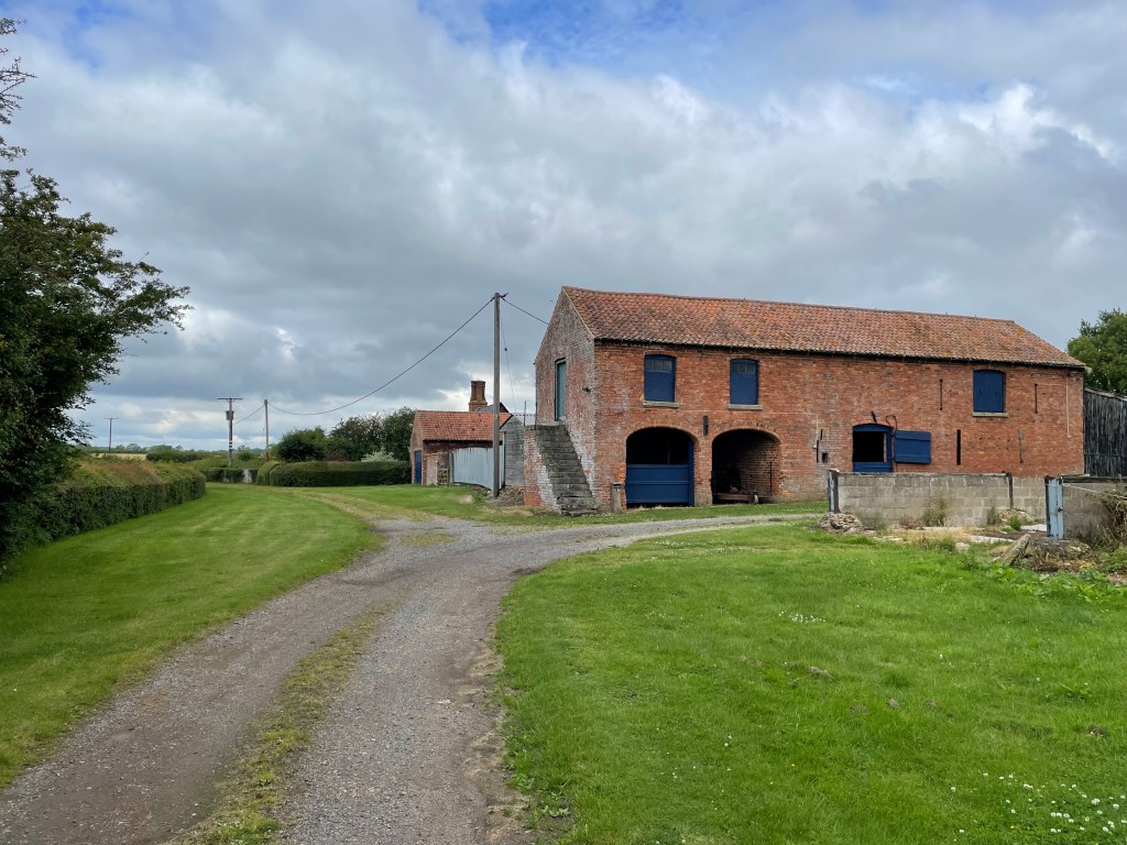
Having walked through the village – it has a charming old village hall – we followed the road for a short section before heading up a very smelly farm track which got smellier as we reached the farm. I was glad to pass through and leave the farm behind!
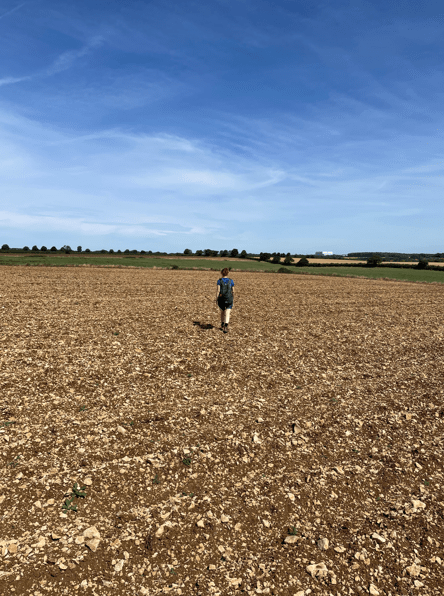
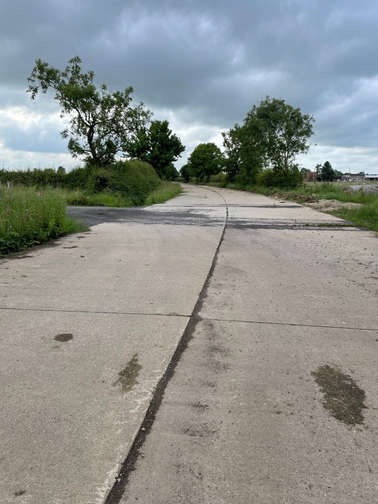
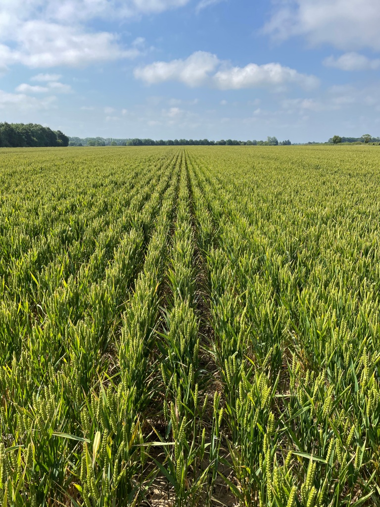
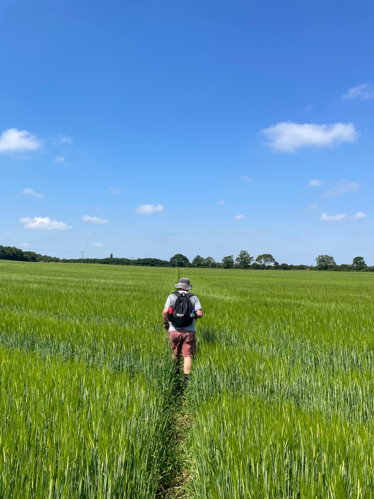
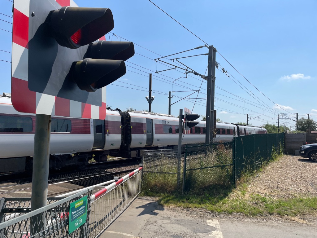
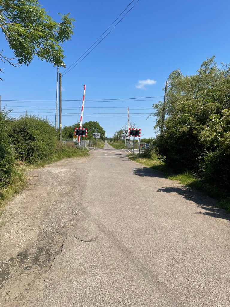
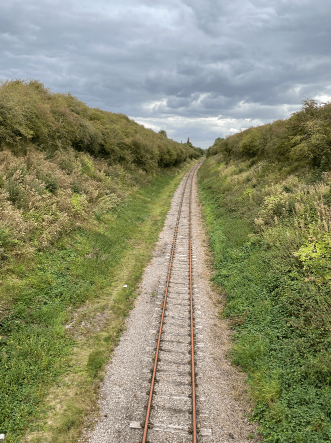
Crossing fields we emerged on to the road back into East Leake. We crossed the heritage Great Central Railway line and headed towards East Leake.
Getting closer to the church we could hear the church bells ringing and they rang continuously for quite a while. It was very impressive bell ringing too. It sounded very technical with multiple bells ringing.
It had been a nice walk although noisy at times.
Happy Walking 😊🚶♂️