Hello and welcome back to my blog 😊.
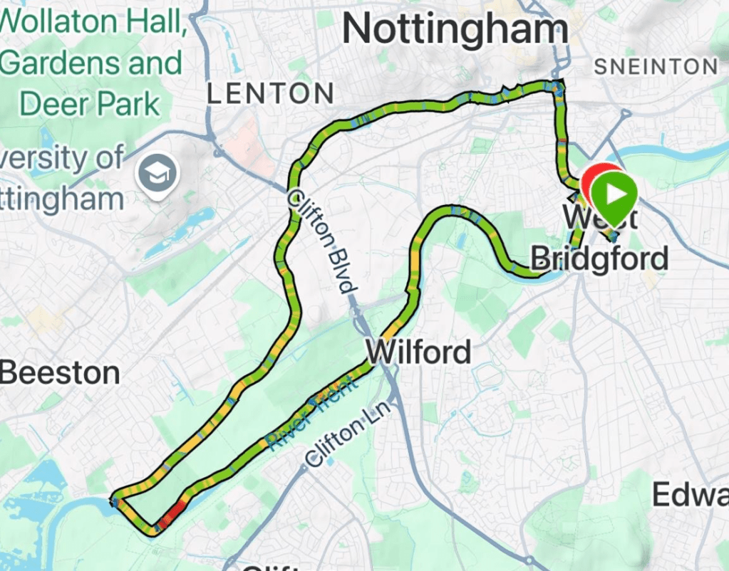
This morning the Three Amigos took a bus into Nottingham to enjoy a 10.7-mile circular walk from Trent Bridge, along the Nottingham and Beeston canal to reach the river Trent, then back along the river to Trent Bridge. It is fair to say that we all thoroughly enjoyed this walk by water.
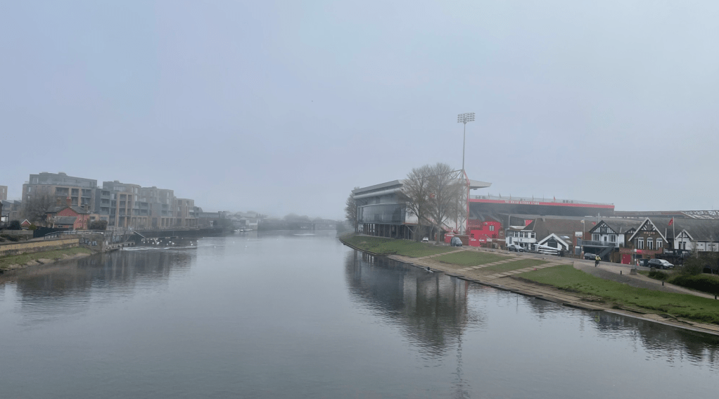
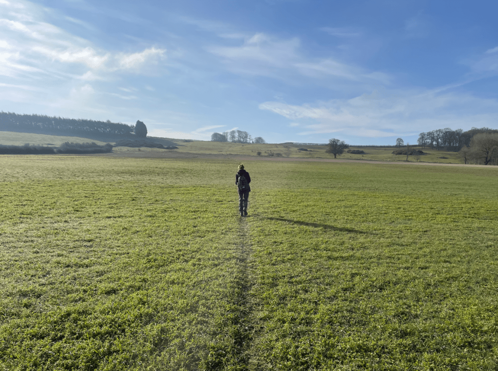
As we arrived in Nottingham, at Trent Bridge Cricket Ground, we found that mist was developing -this was disappointing because we had been expecting sunshine! It was the first Three Amigo walk for quite a few weeks. Chris had donned his shorts – myself and Mick wondered whether this was a little rash given the morning chill in the air? Chris assured us that he was a tough cookie and not a wimp like us! Well, what can I say.😊
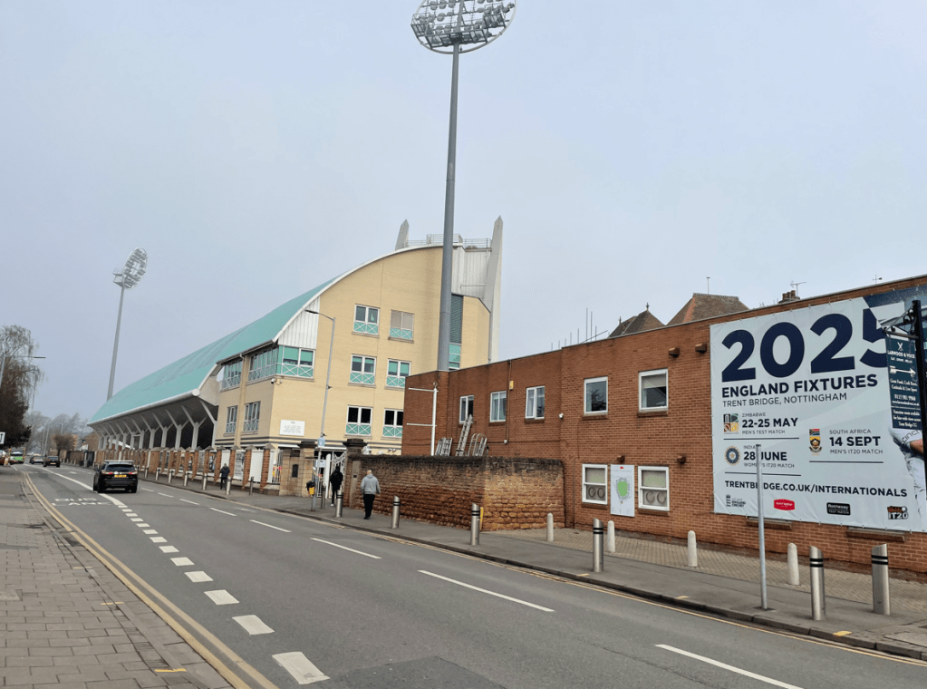
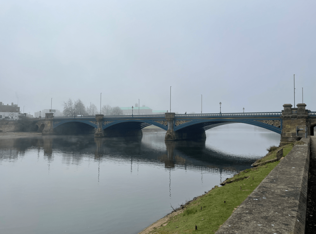
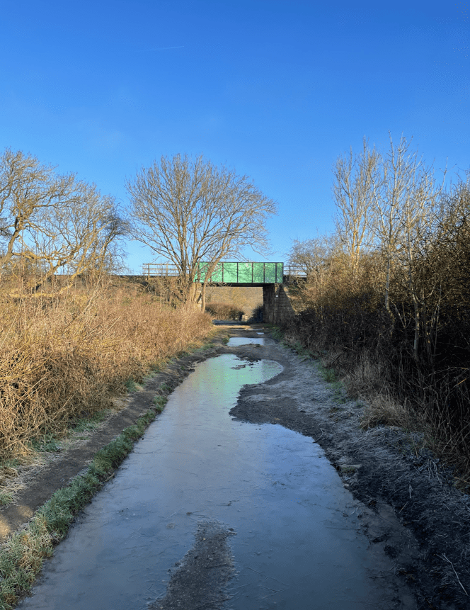
We crossed Trent Bridge then headed down the embankment to join the start of the Nottingham and Beeston canal. We wondered when/if the mist would lift? The Forest ground was still shrouded in the mist. Opposite the Stadium was the entrance to the canal.
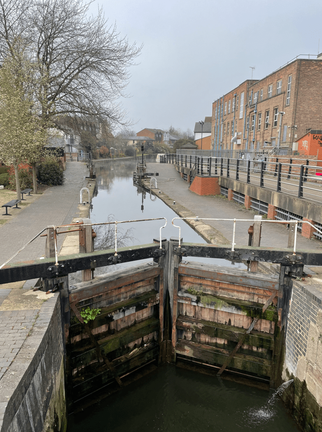
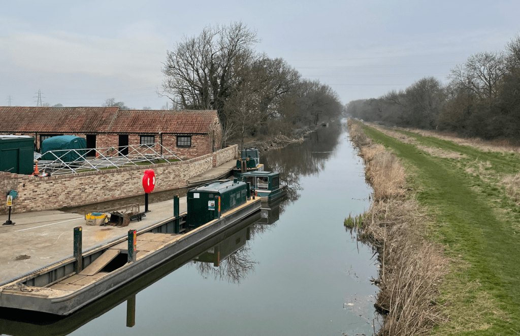
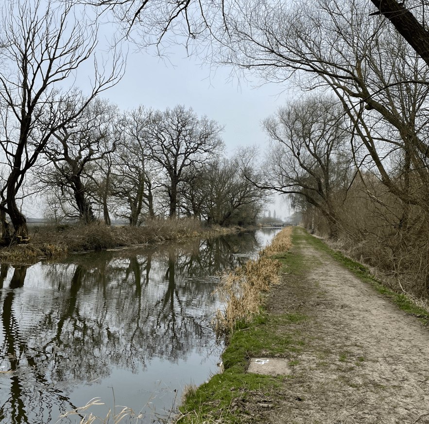
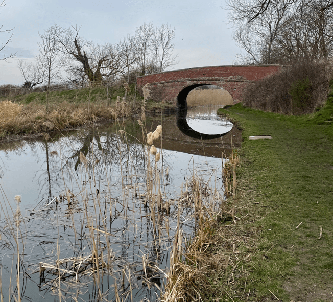
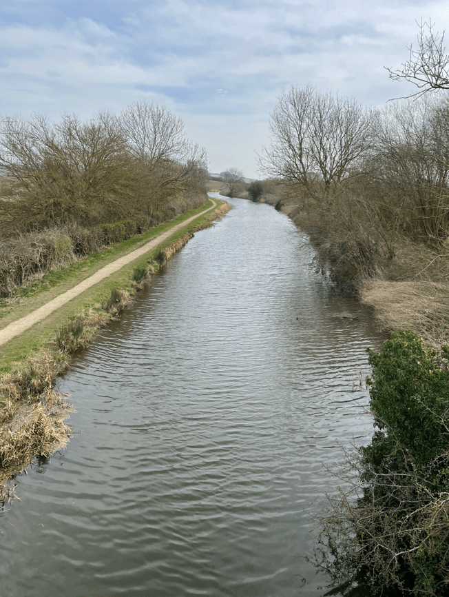
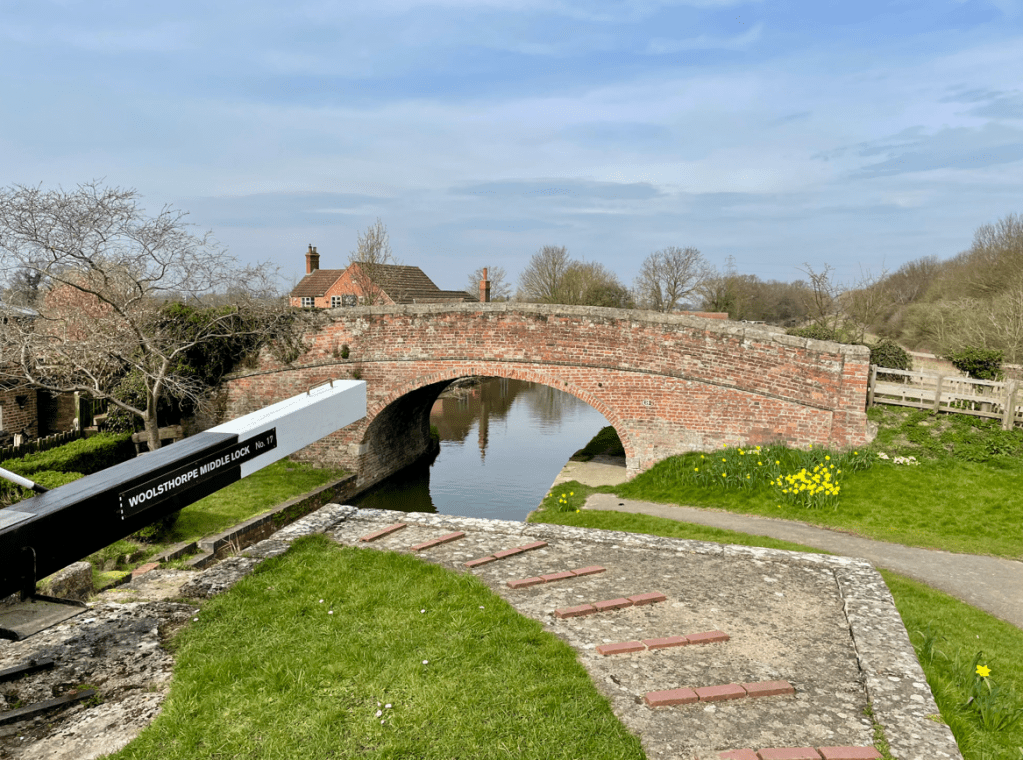
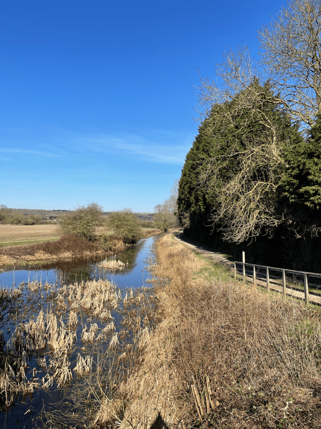
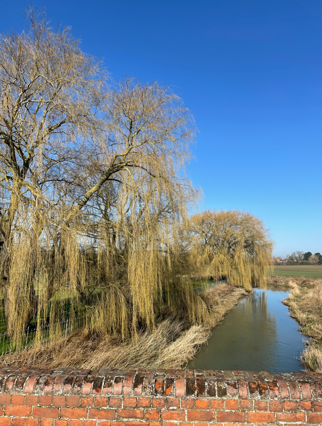
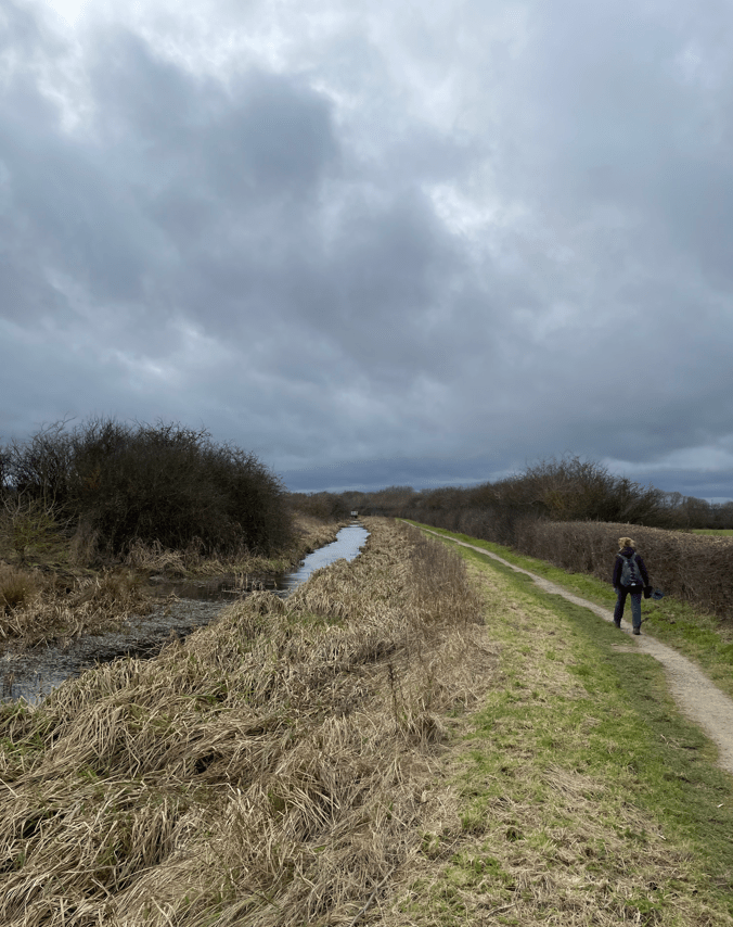
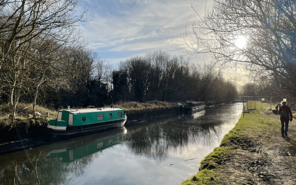
The canal was built to bring coal into the city from the mines scattered around the Nottinghamshire and Derbyshire border. We took the wide towpath, noting that there were plenty of Canadian geese enjoying the canal. The mist was starting to clear 😊.

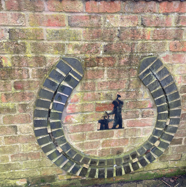
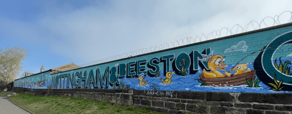
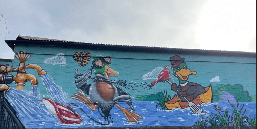
I particularly liked the amusing artwork on a wall by the canal.
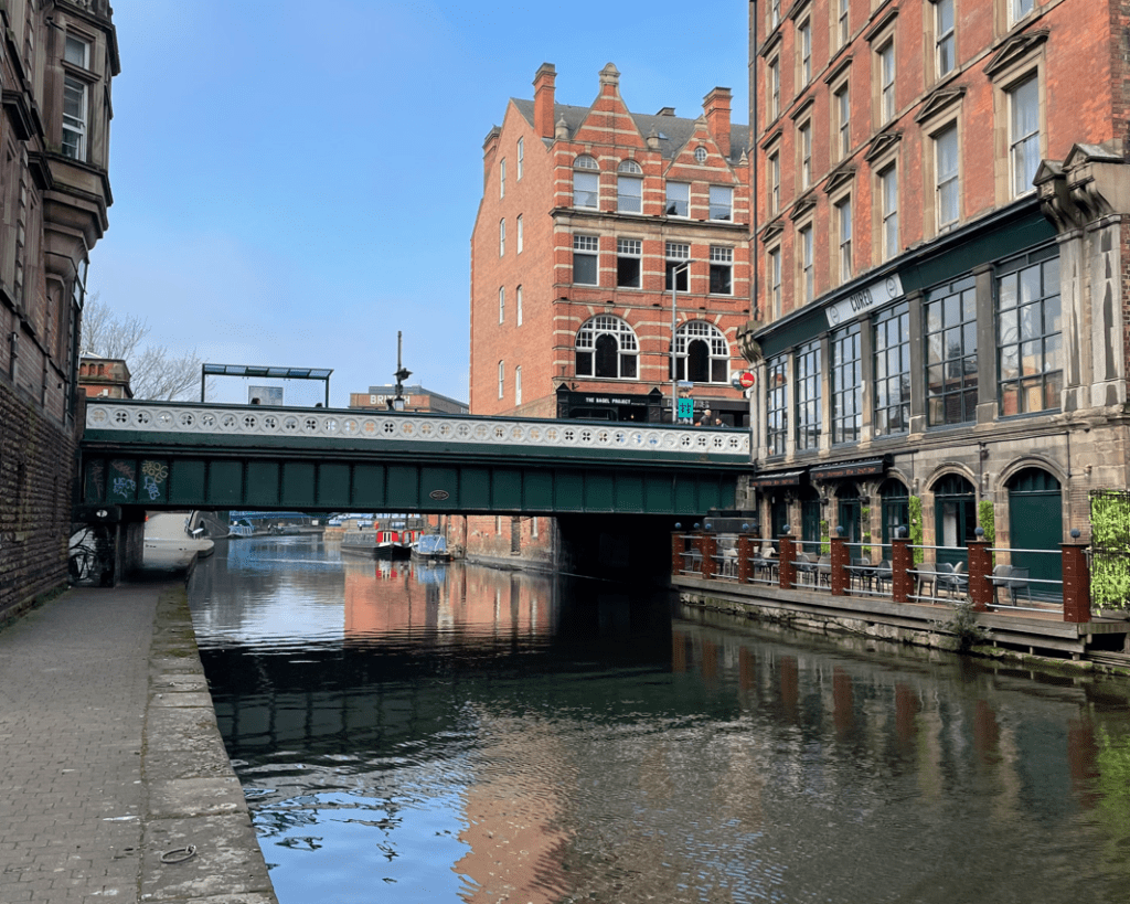
We were heading past beautiful old warehouse buildings side by side with modern new developments. I know which ones I prefer! (The old, since you asked)
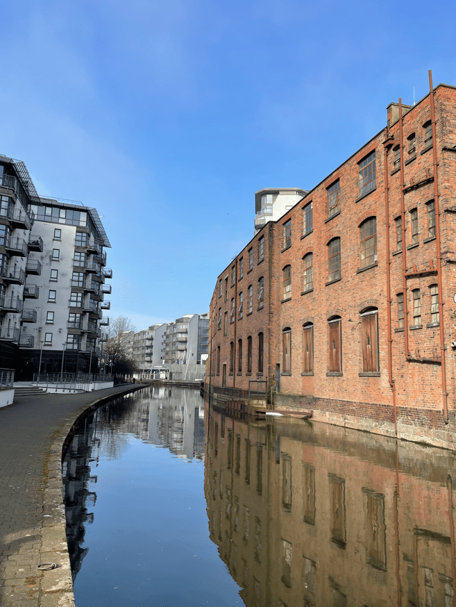
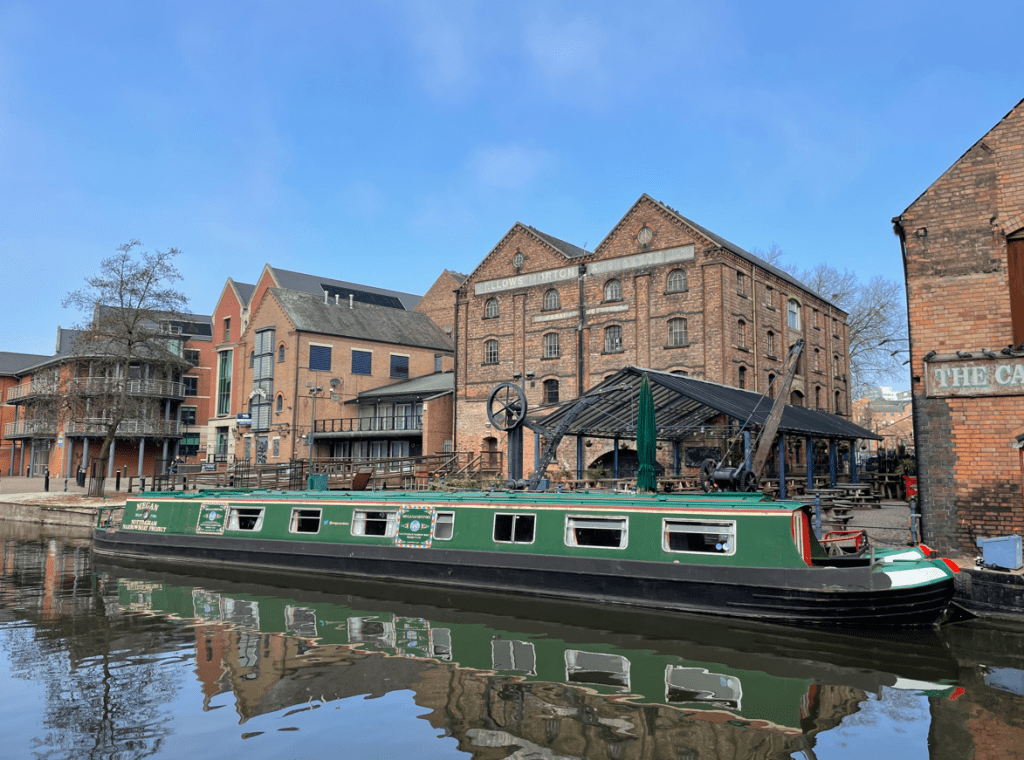
The impressive Fellows, Morton and Clayton depot was property of that Company – it operated the largest fleet of barges and narrowboats in the country. This building had its own built-in dock on the ground floor – it’s now a popular nightspot.
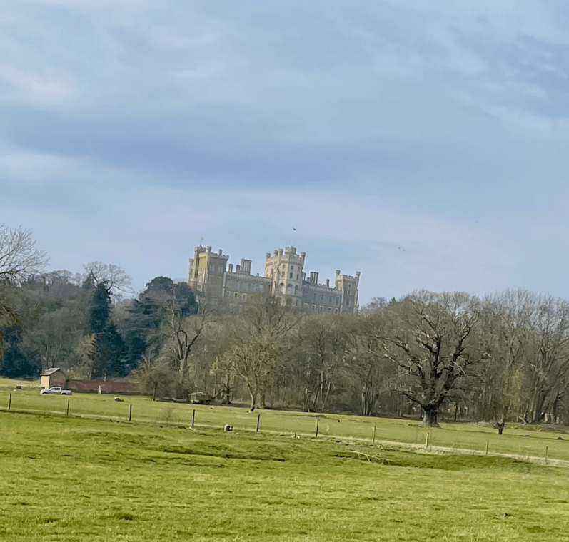
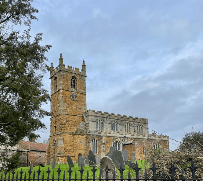
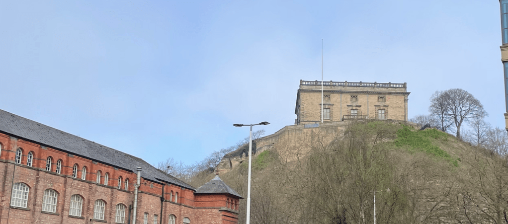
Castle wharf has a view of Nottingham Castle on the hill- hence the name.
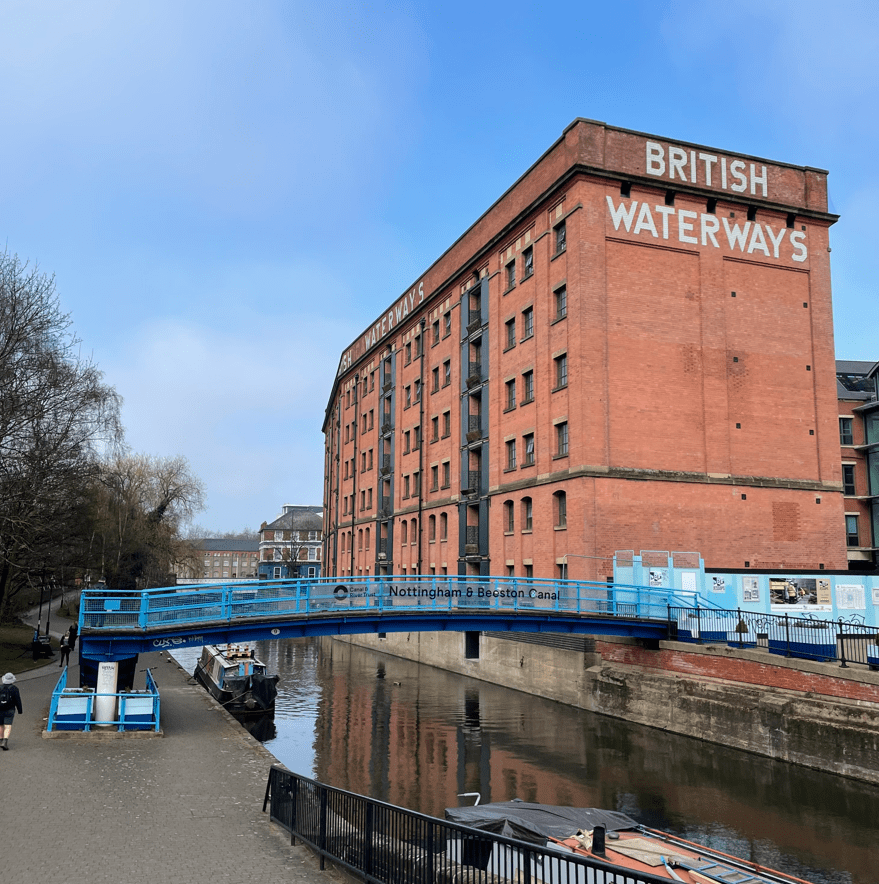
Some of our views looked distinctly Victorian.
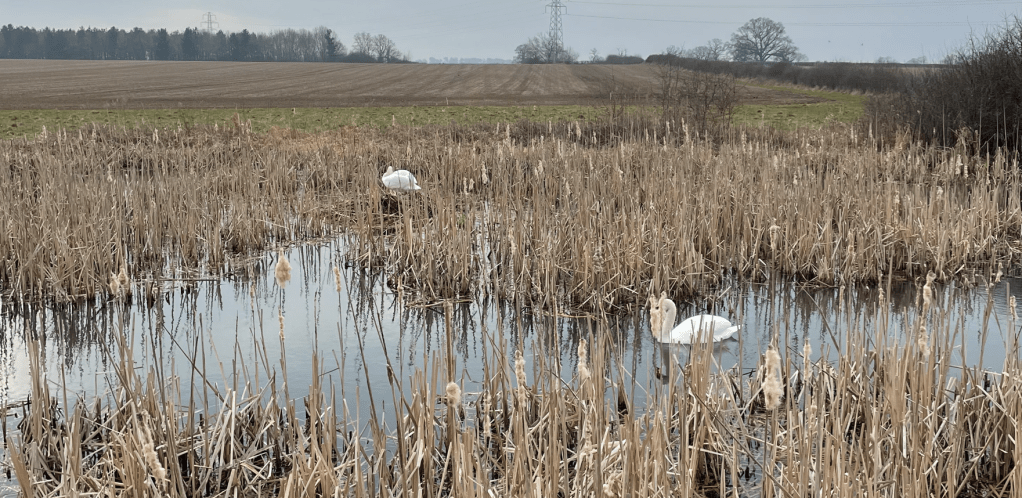
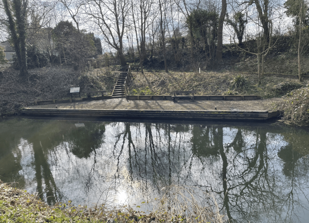
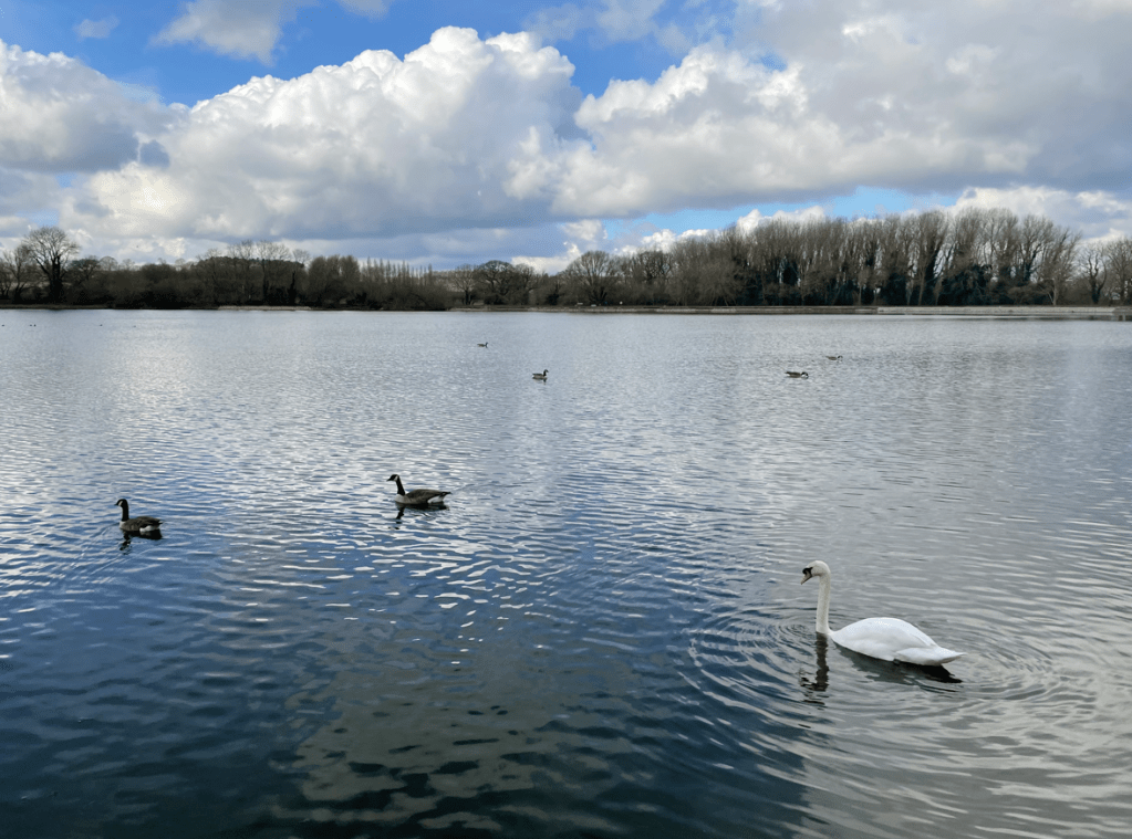
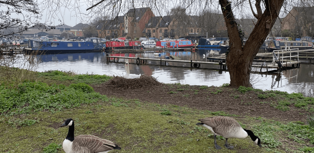
Soon we passed a Marina and spotted a Swan sat on it’s nest. Can you see it?
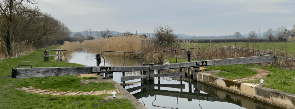
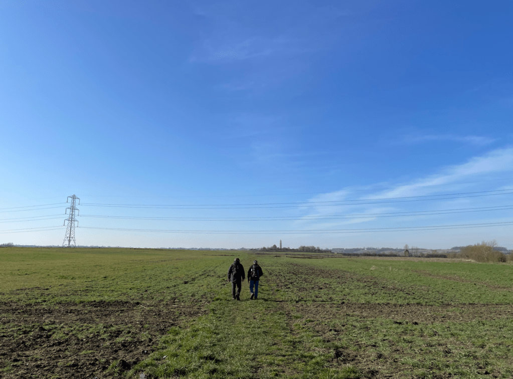
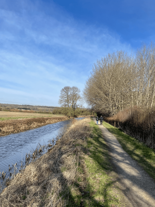
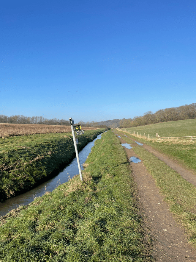
We were heading out of the city now and into the suburbs. There were quite a few cyclists and runners along the towpath – probably because it is close to the University. We even saw a number of individuals paddle boarding – I wouldn’t like to fall in the canal!

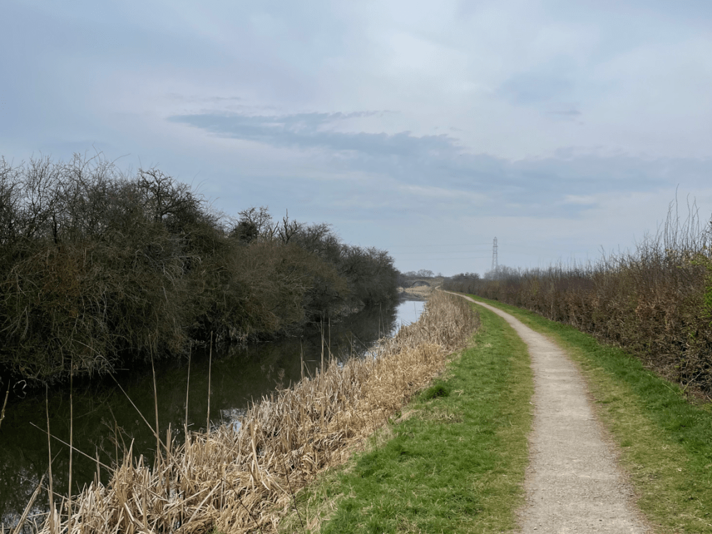
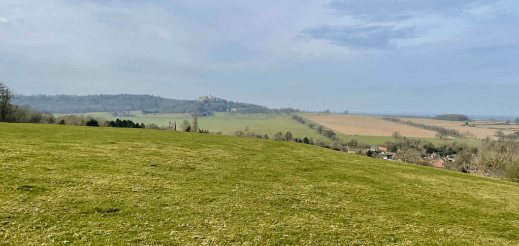
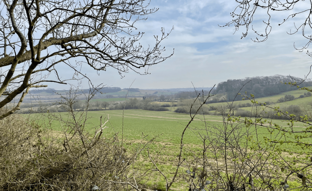
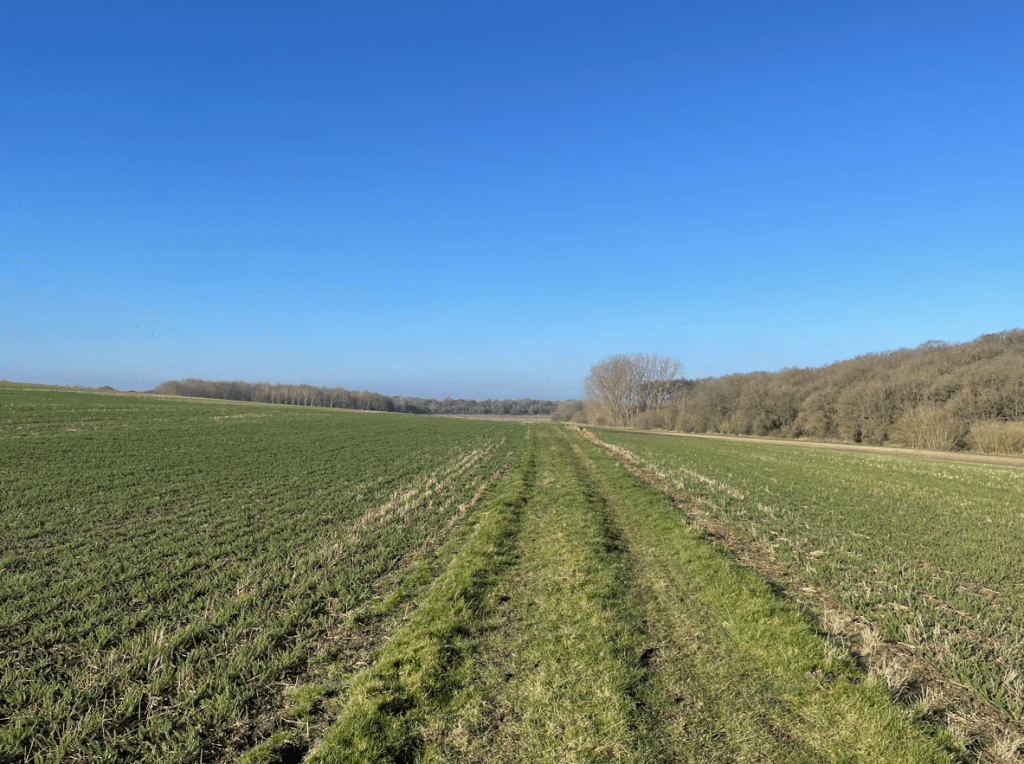
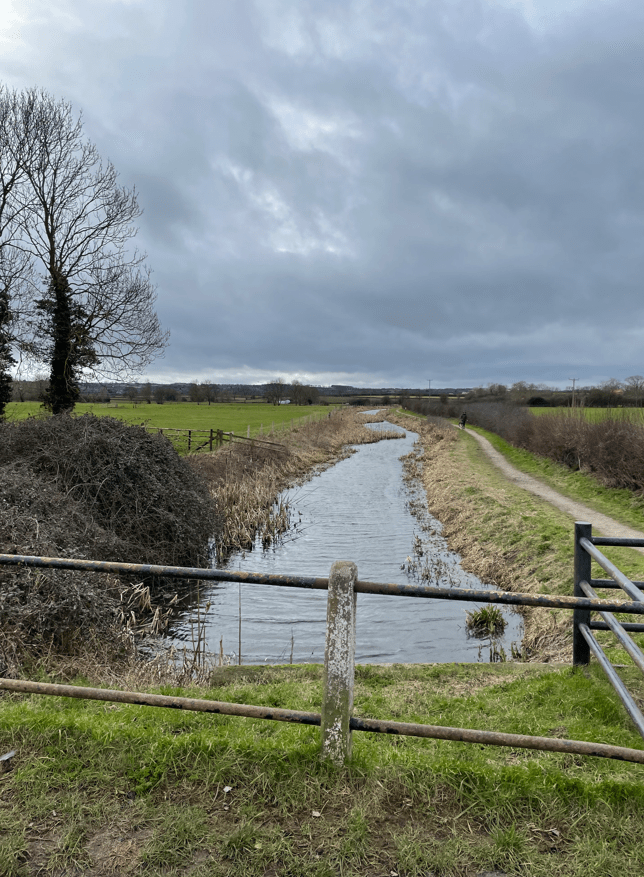
It was amazing how quickly our vista changed from urban to rural.

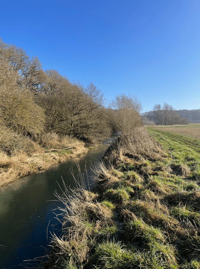
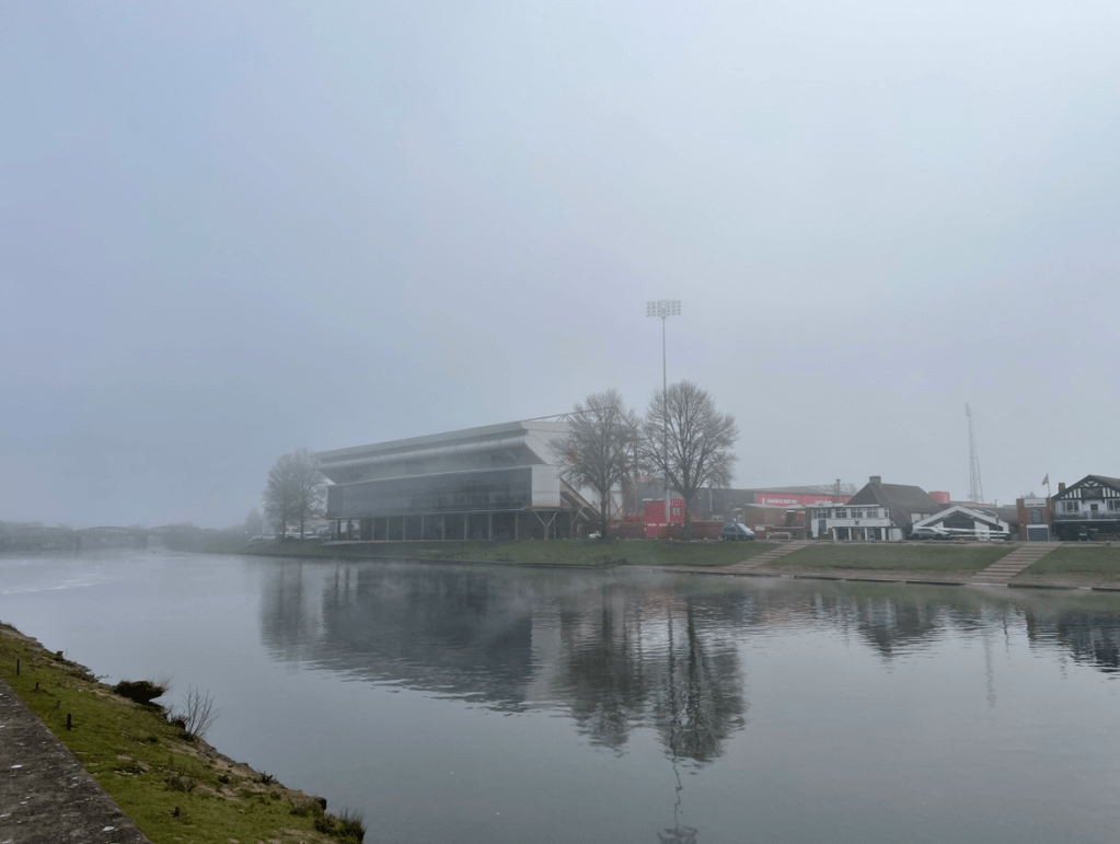
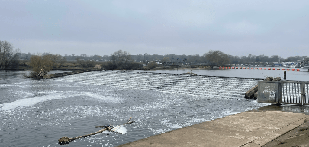
To our right was the large Boots factory and we soon arrived at the river Trent where stopped to look at the weir. Chris related the tragic tale of a young man who had died whilst trying to rescue someone who had fallen in. There was a memorial to the incident at the Weir.
Following a path by the river we passed the Sports grounds of Nottingham University – very impressive.

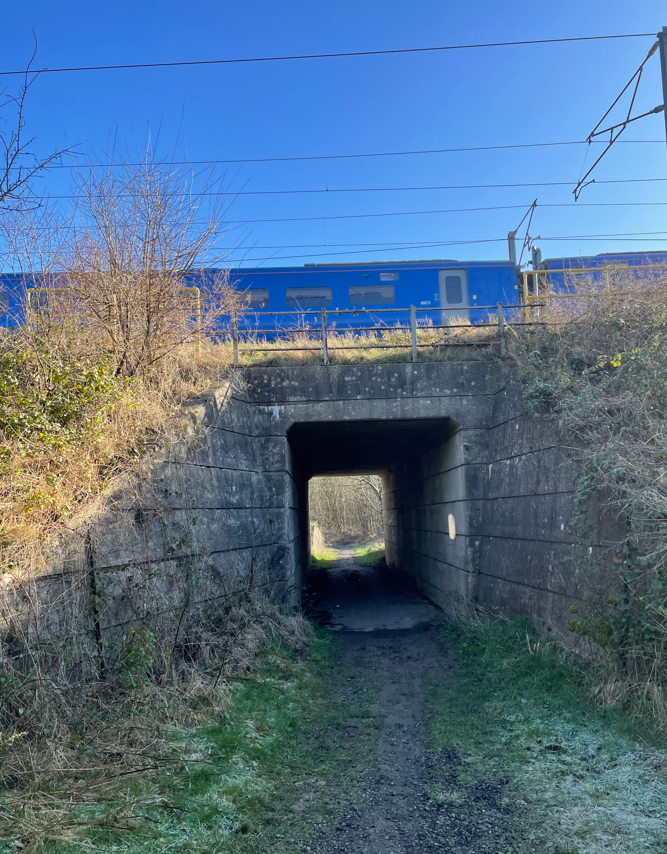
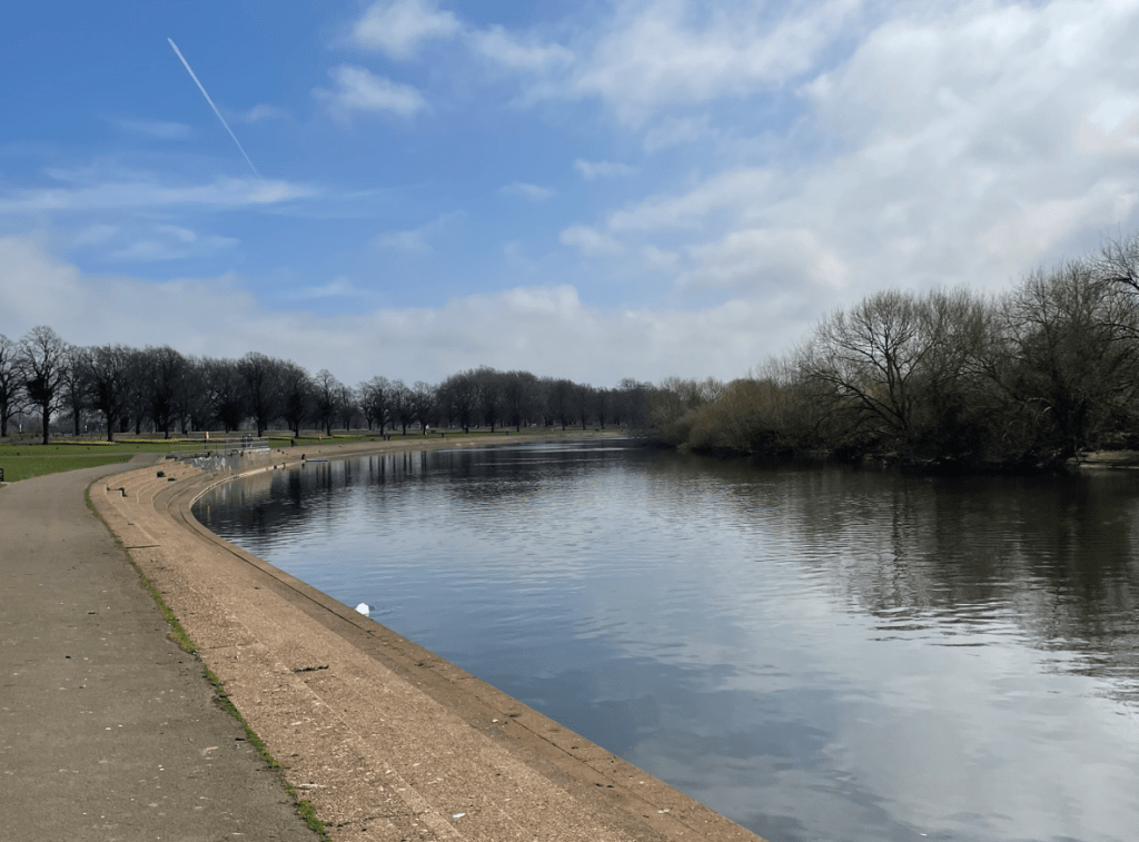
The rural embankment changed to concrete after a while -we were approaching the city.
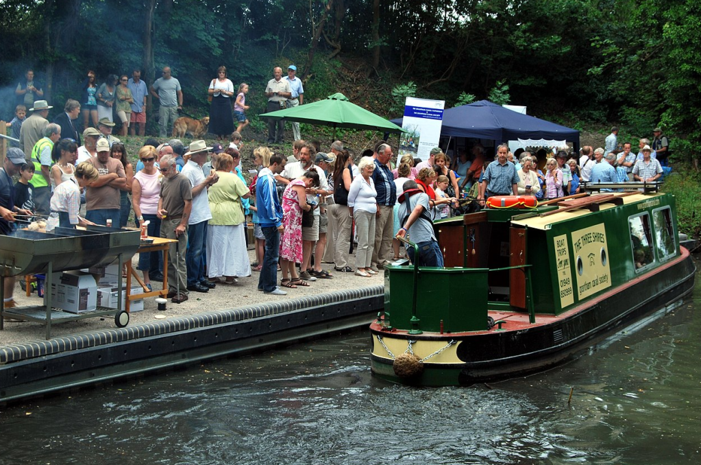
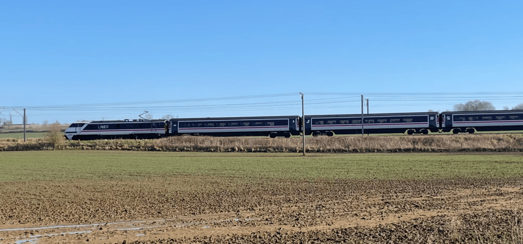
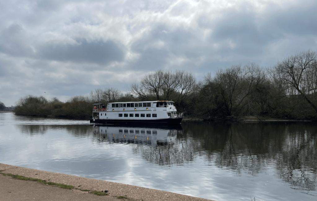
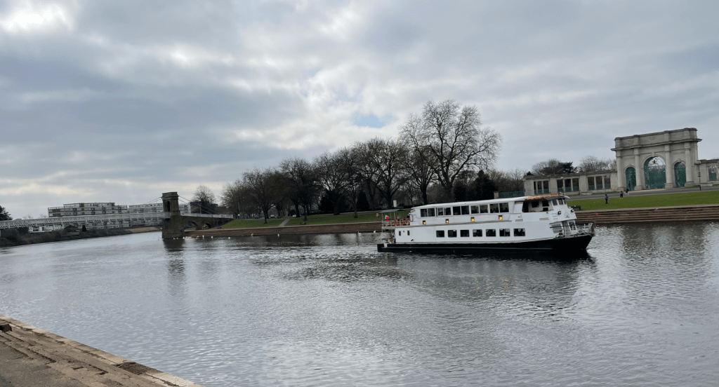
A trip boat passed us by and it was full of passengers.
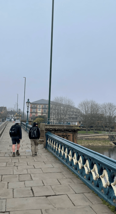
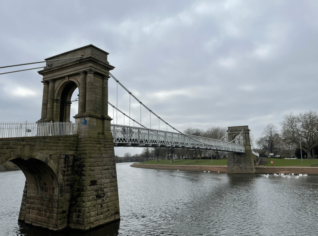
We reached Victoria Embankment and crossed the river via the lovely pedestrian bridge – Wilford Suspension bridge. There was a slight bounce as we walked across.
The trip boat passed us by on it’s return leg.
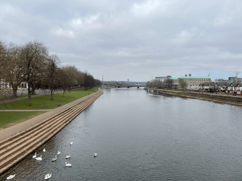
Shortly we arrived back at Trent Bridge and made our way to the bus stop.
It had been a great walk, if a tad chilly at times. I had particularly enjoyed seeing the old warehouses along the canal you can’t beat a bit of heritage!
Happy Walking! 😊🚶