Hello and welcome back to my blog 😊.
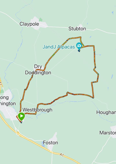
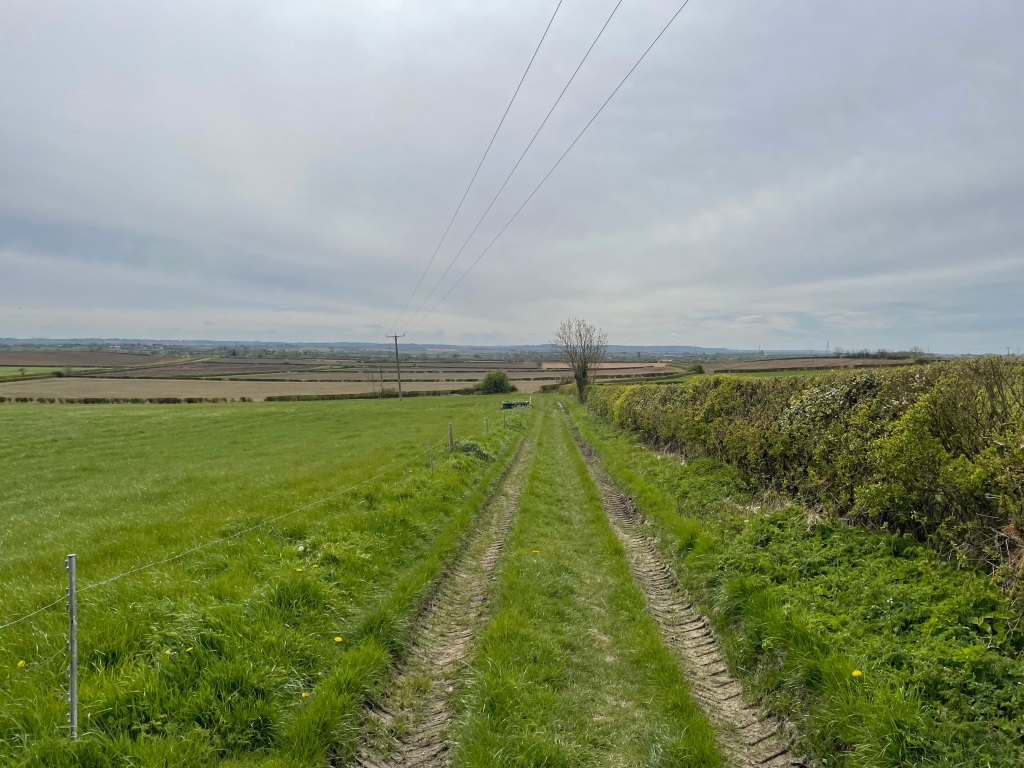
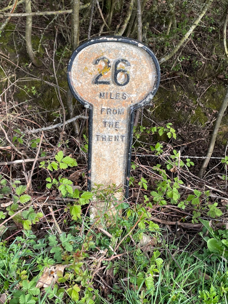
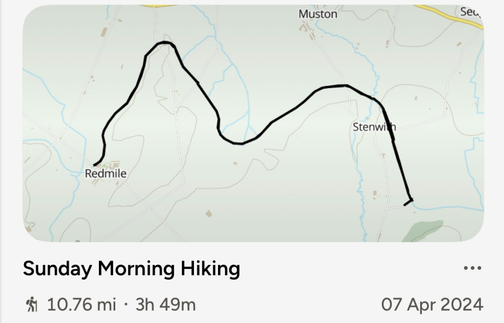
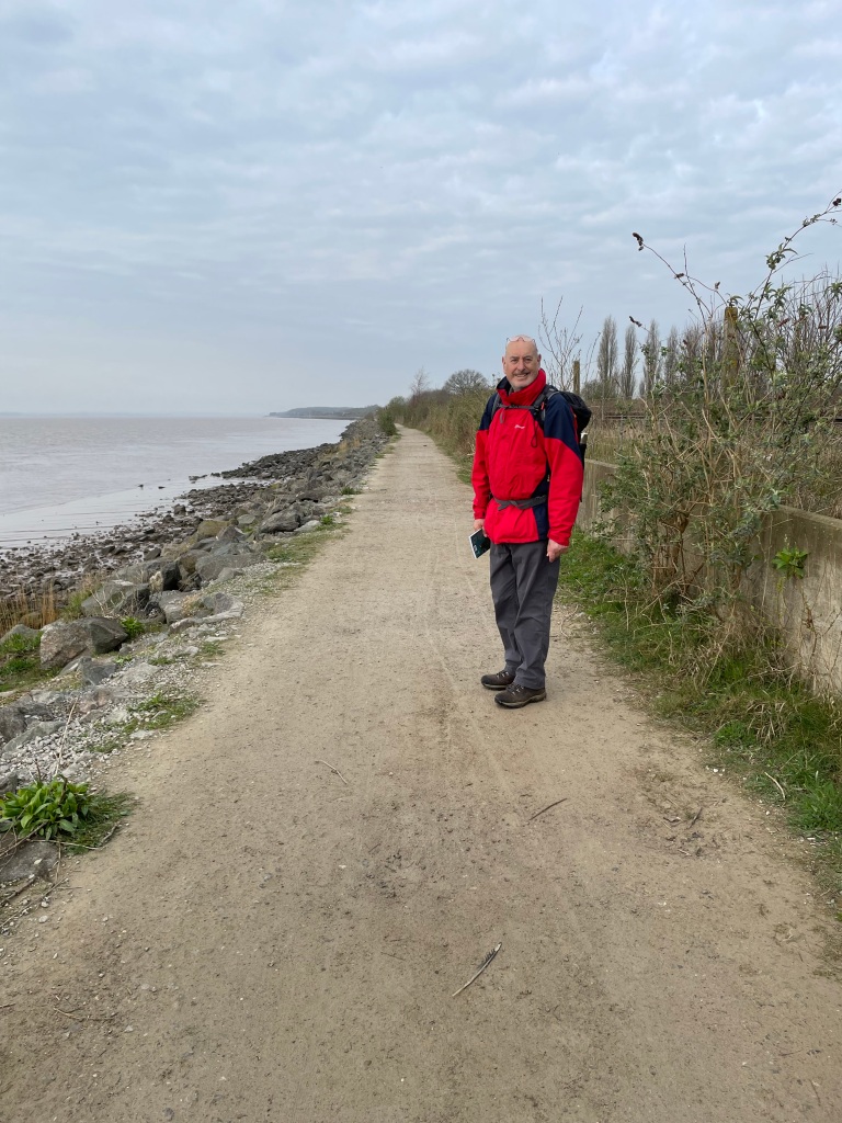
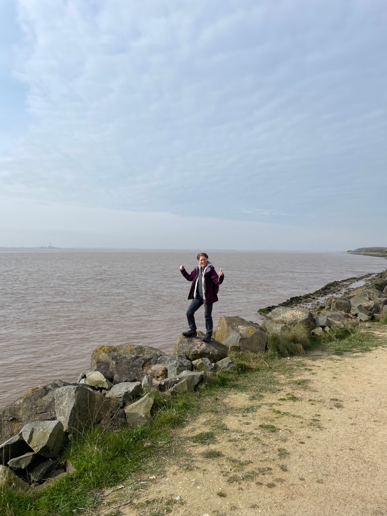
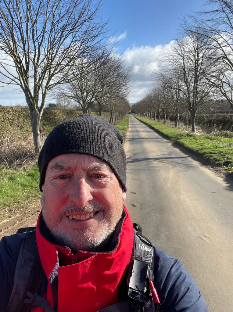
This morning the ‘Three Amigos’ met up and did a 10.6 mile walk from Woolsthorpe -by-Belvoir to Grantham along the Grantham Canal and back again. The Grantham canal is being restored by The Grantham Canal Society https://www.granthamcanal.org/

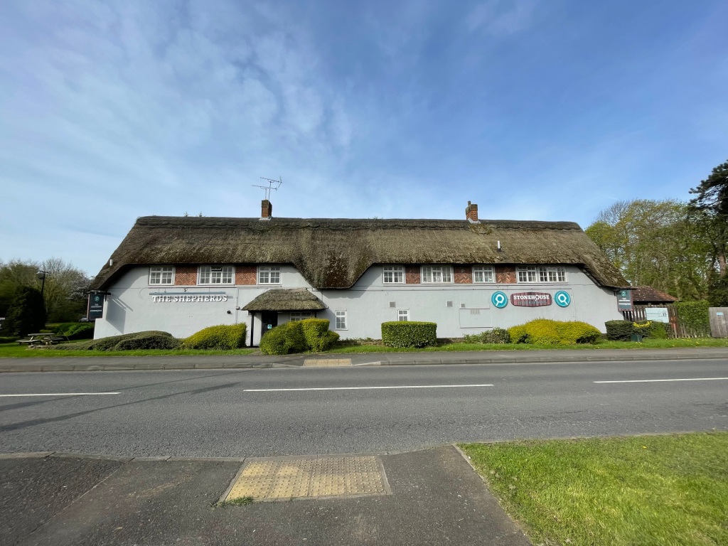
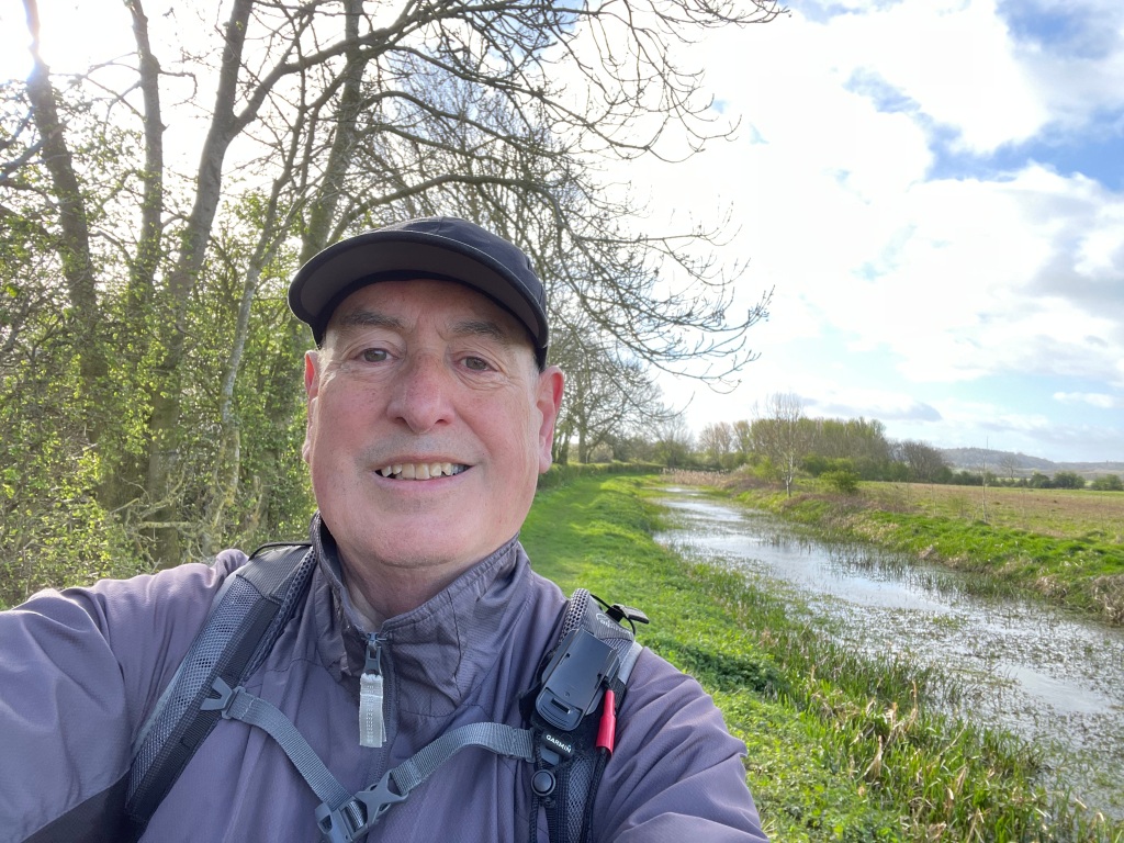
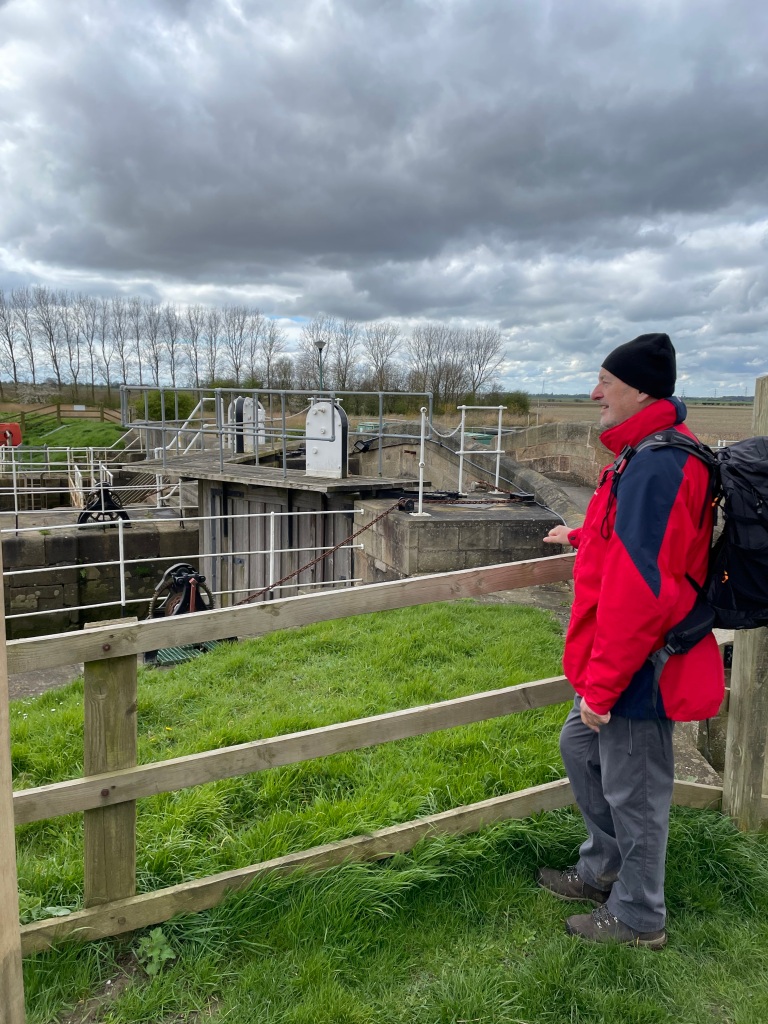
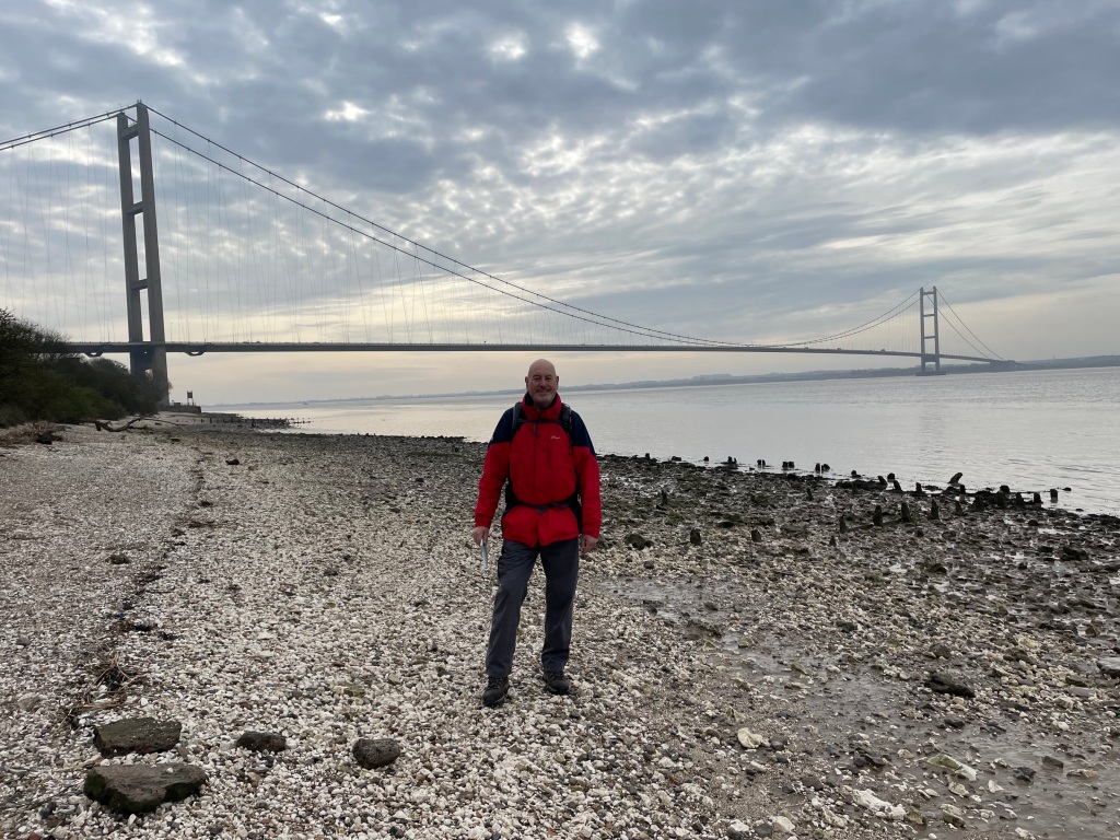
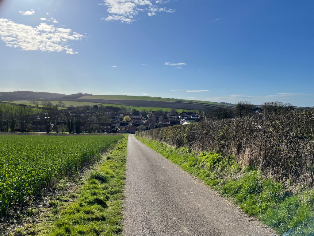
Parking the cars near the Dirty Duck pub, Belvoir Castle loomed large on the hillside dominating the area. Chris was 15 mins ‘late’ to meet up – ‘How come I am 15 mins early and I am still last ?’ he asked.

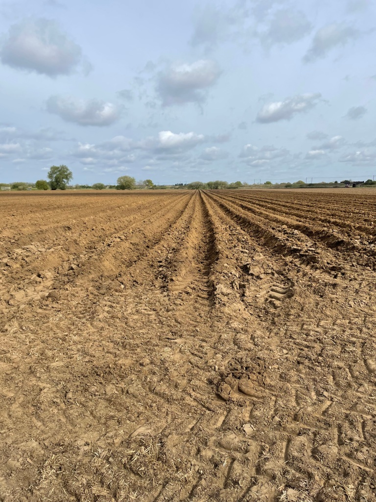
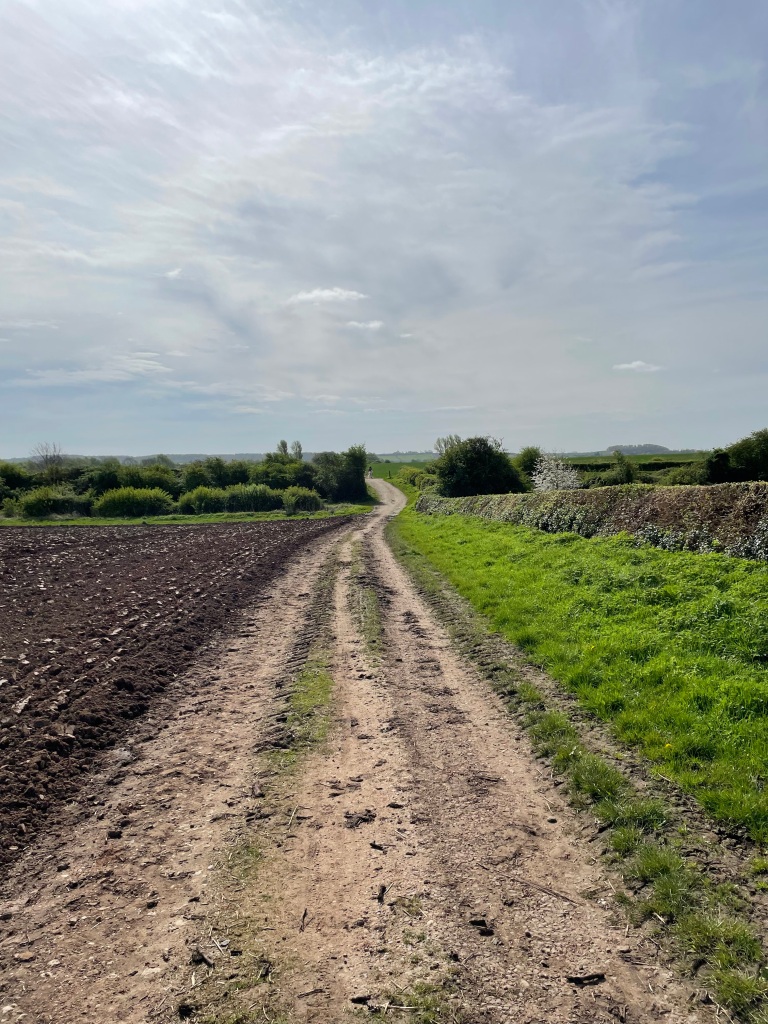
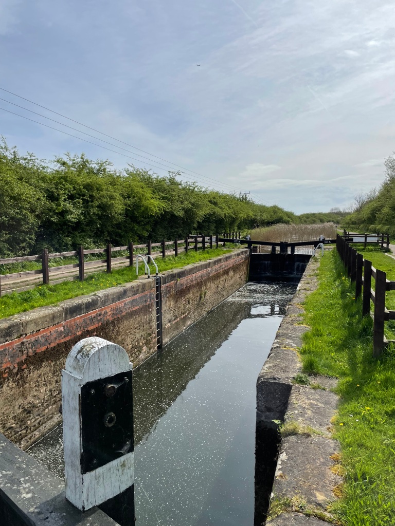
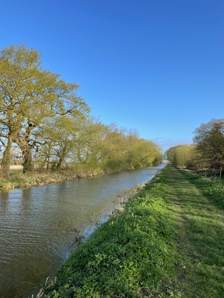
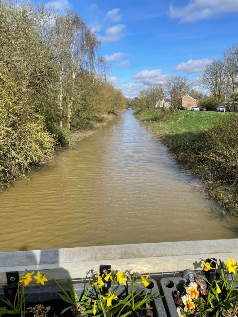
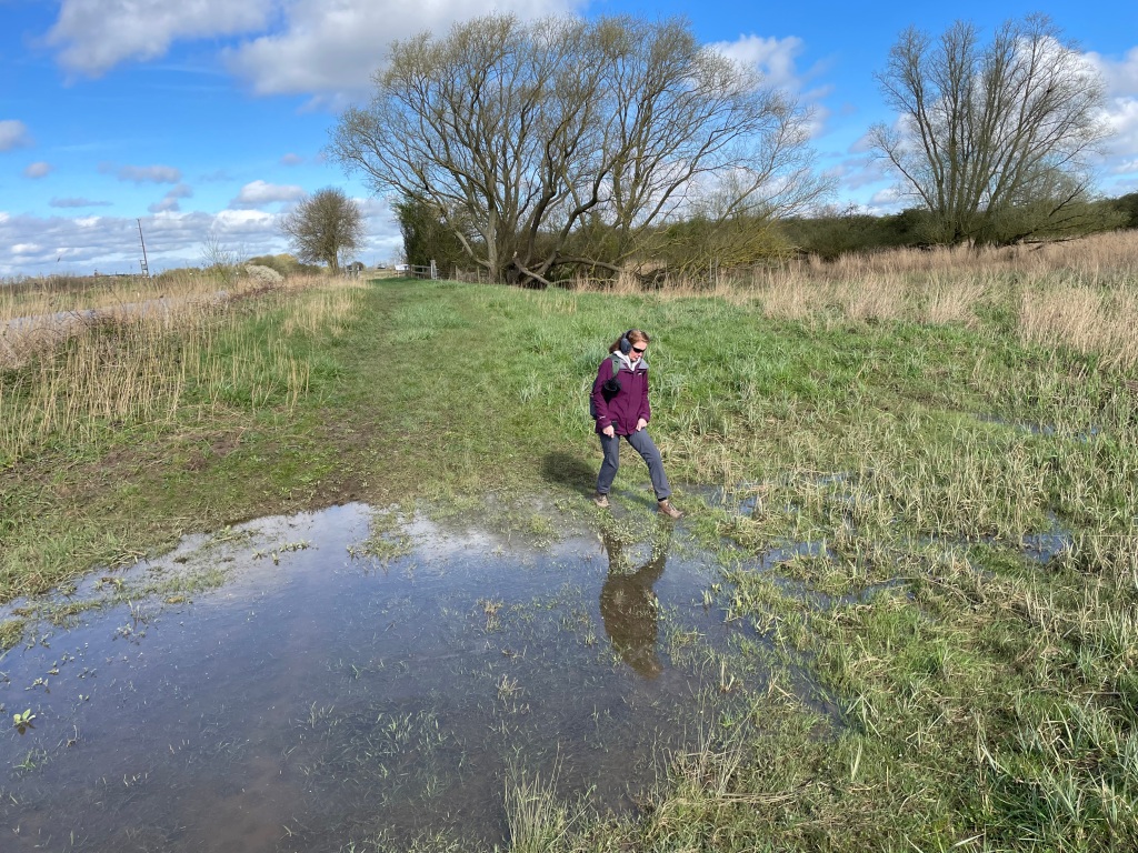
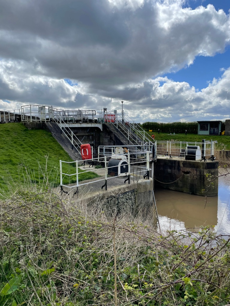
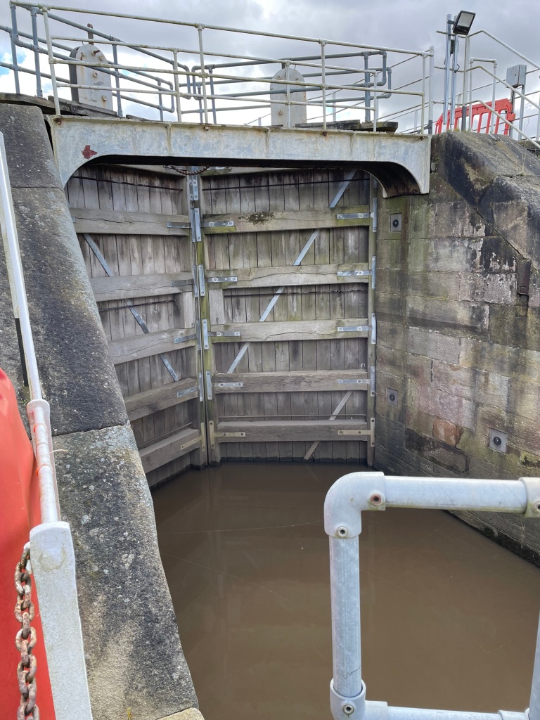
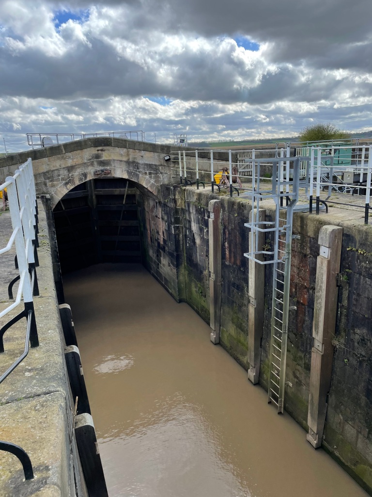
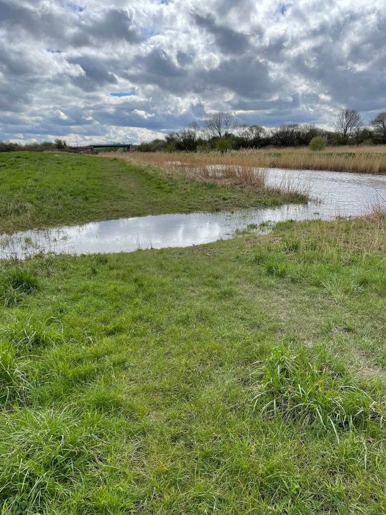
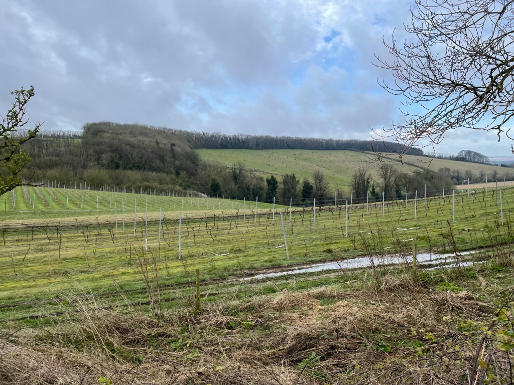
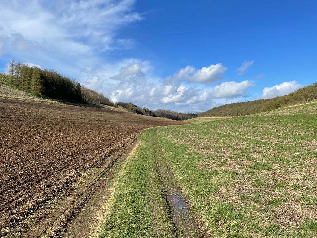
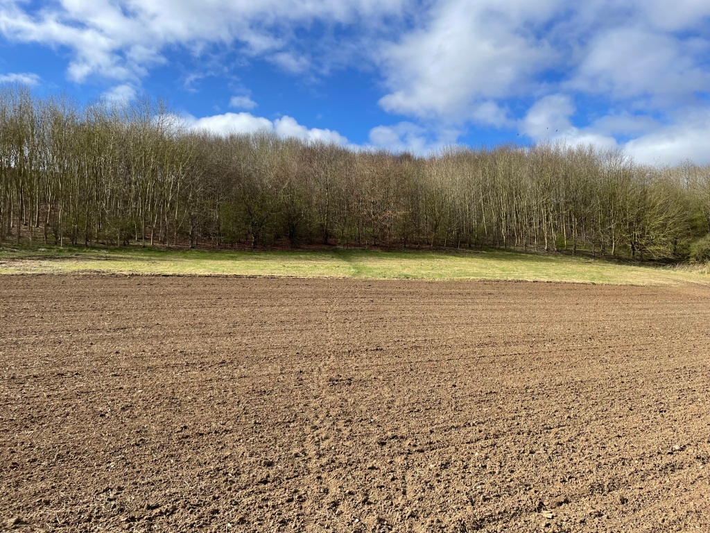
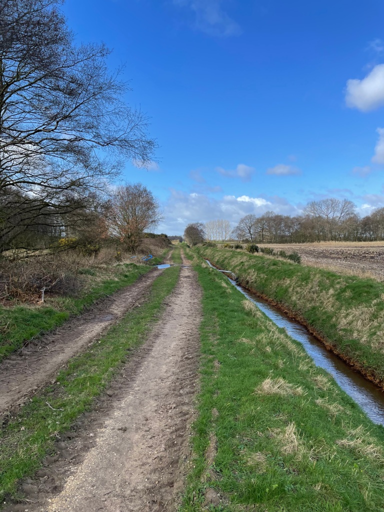
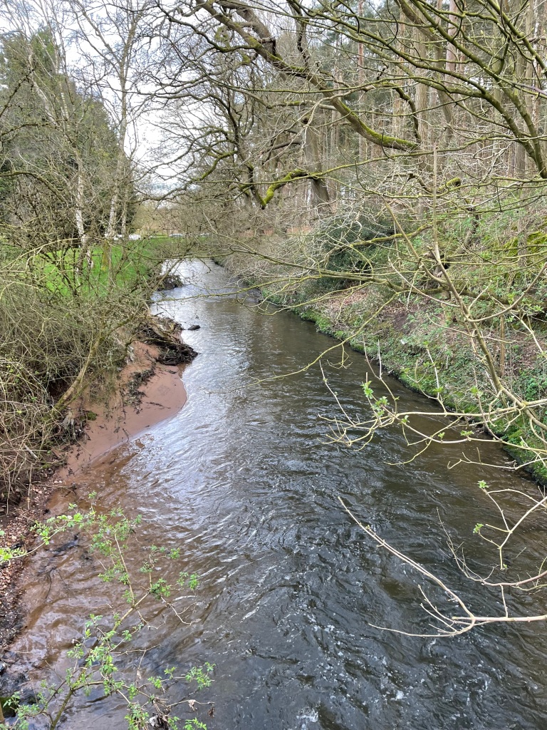
We had chosen to do a canal walk because of the recent rain and we wanted to avoid boggy fields. Water levels in the canal were low we noted as we peered over the bridge by the pub.

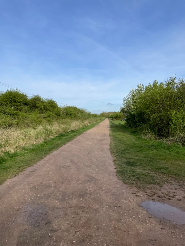
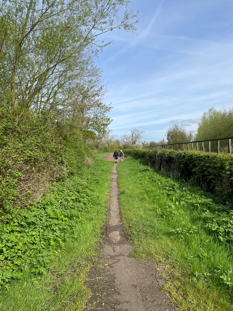
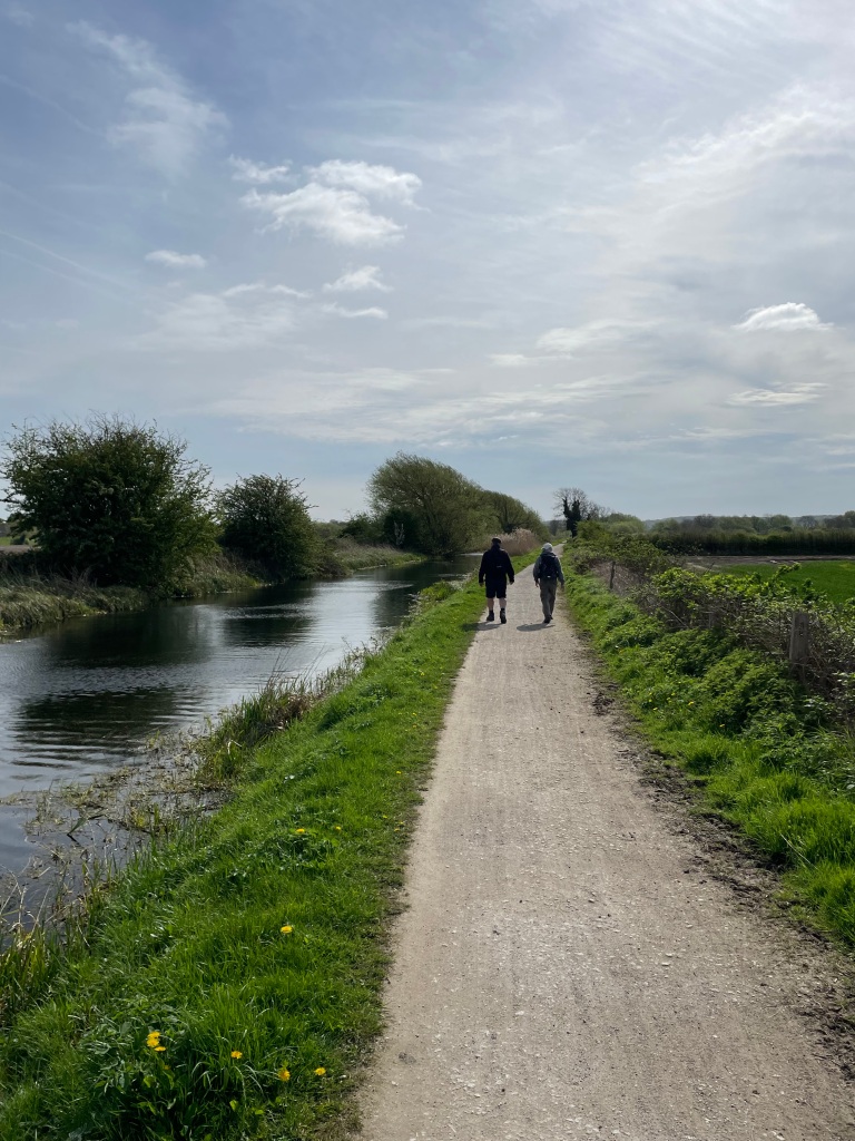
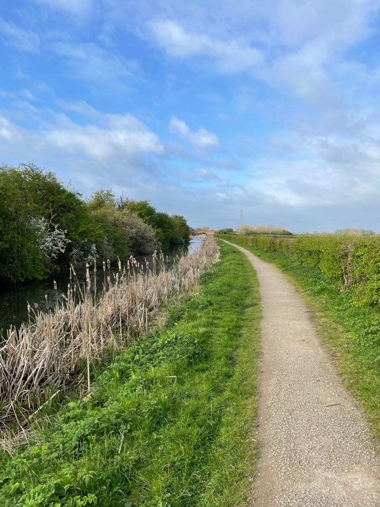
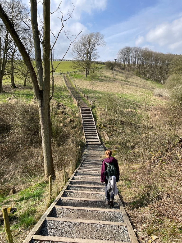
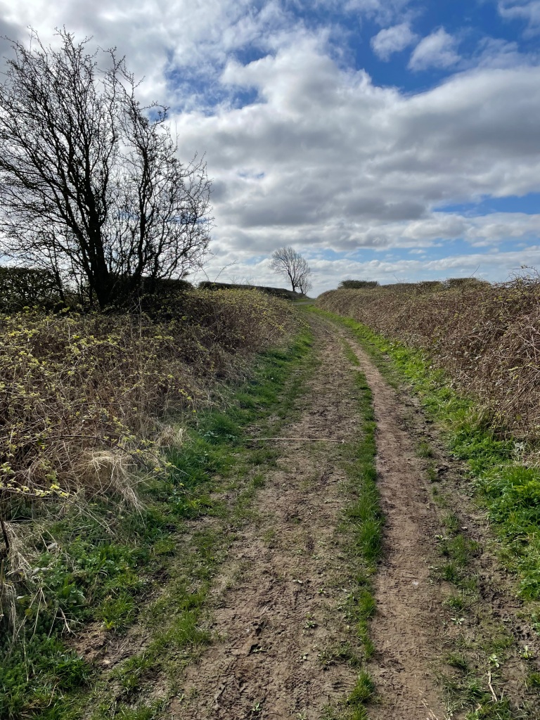
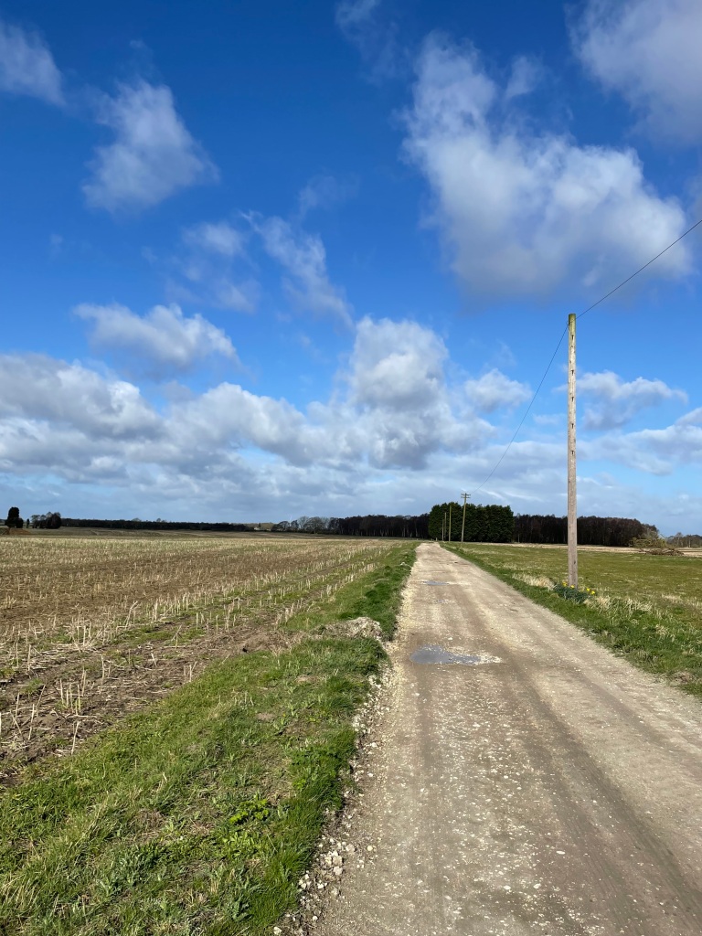
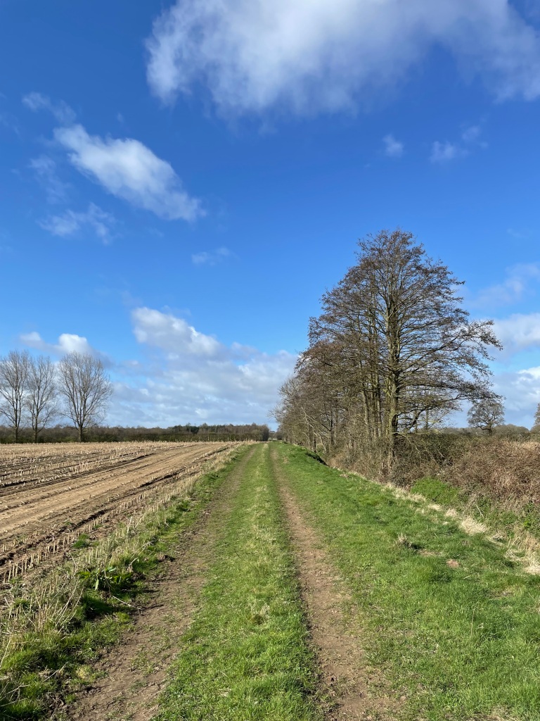
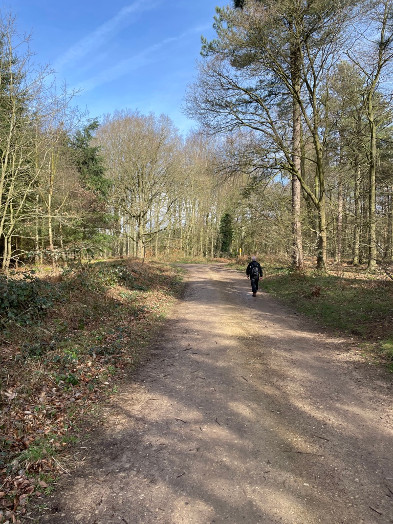
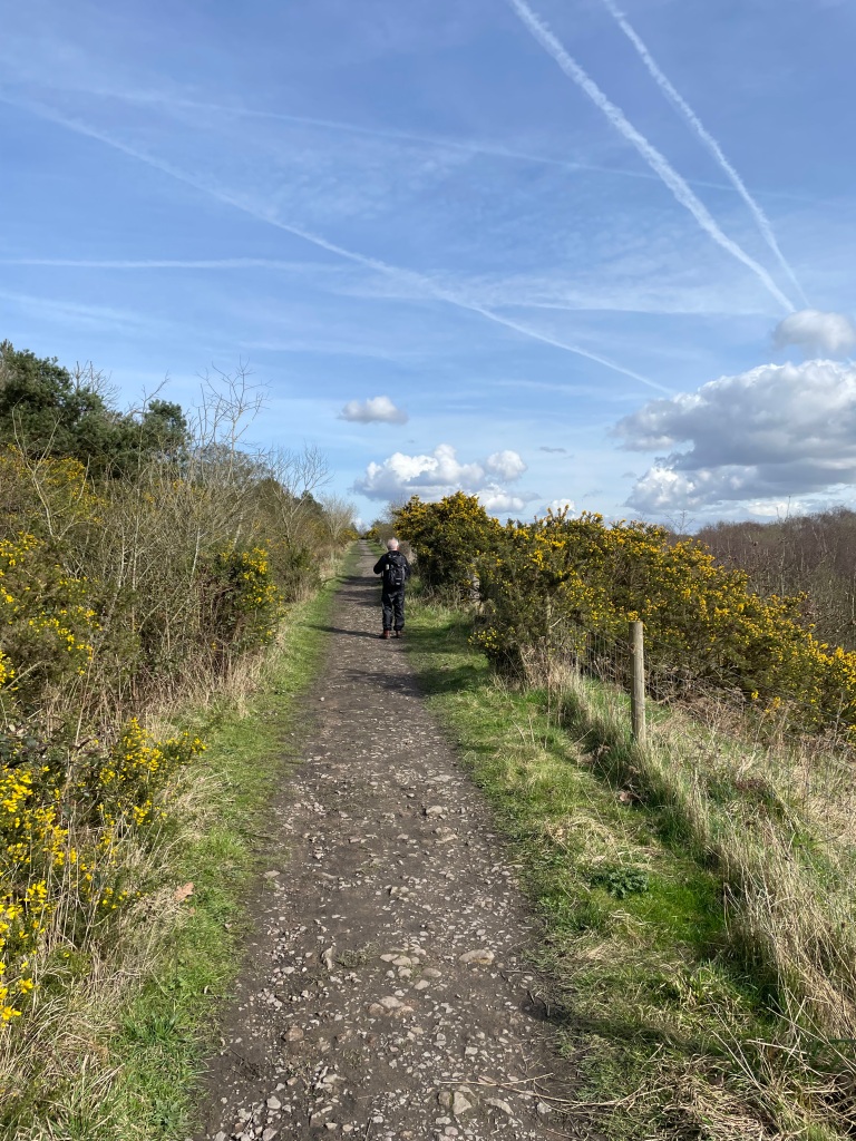
We set off along the towpath heading East towards Grantham. Light rain was forecast but nothing drastic.

It was odd seeing the low level of water in the canal as it is not usually that low. So, we were on the lookout for any evidence of leaks from the canal as we walked along.

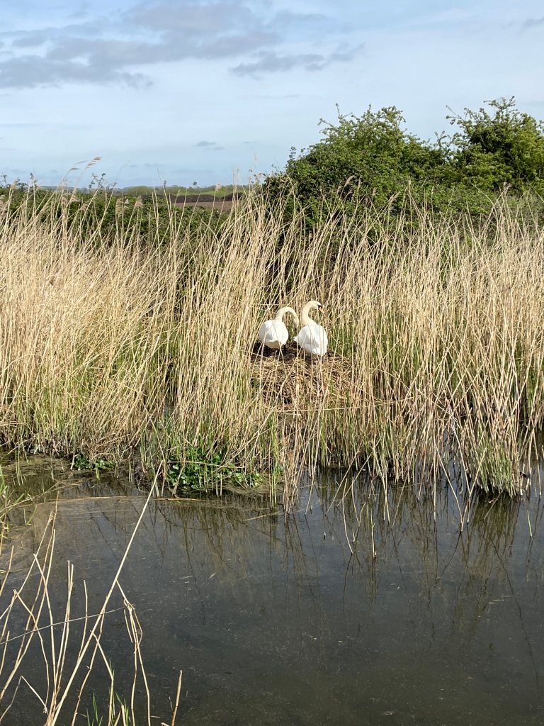
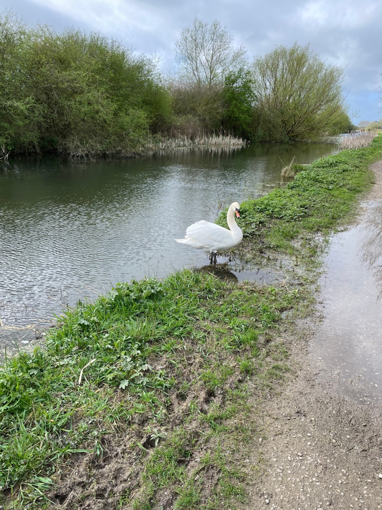
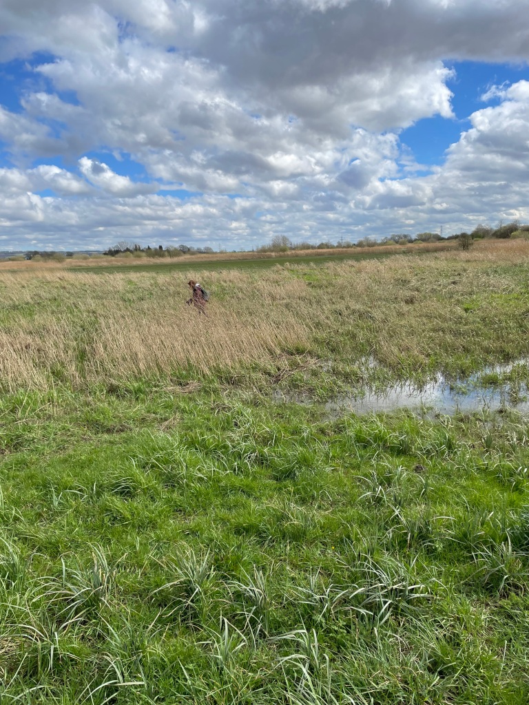
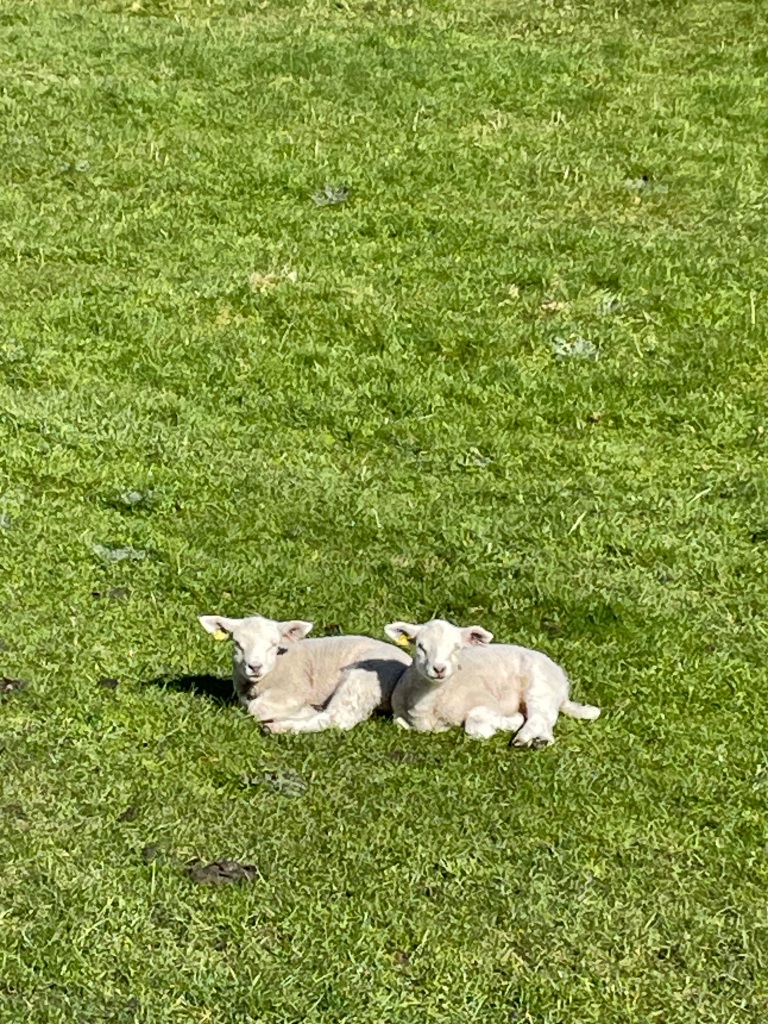
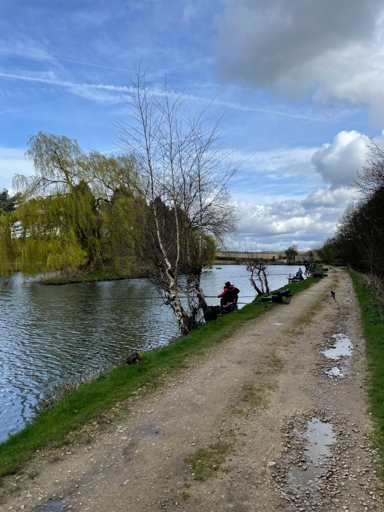
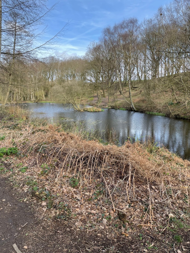
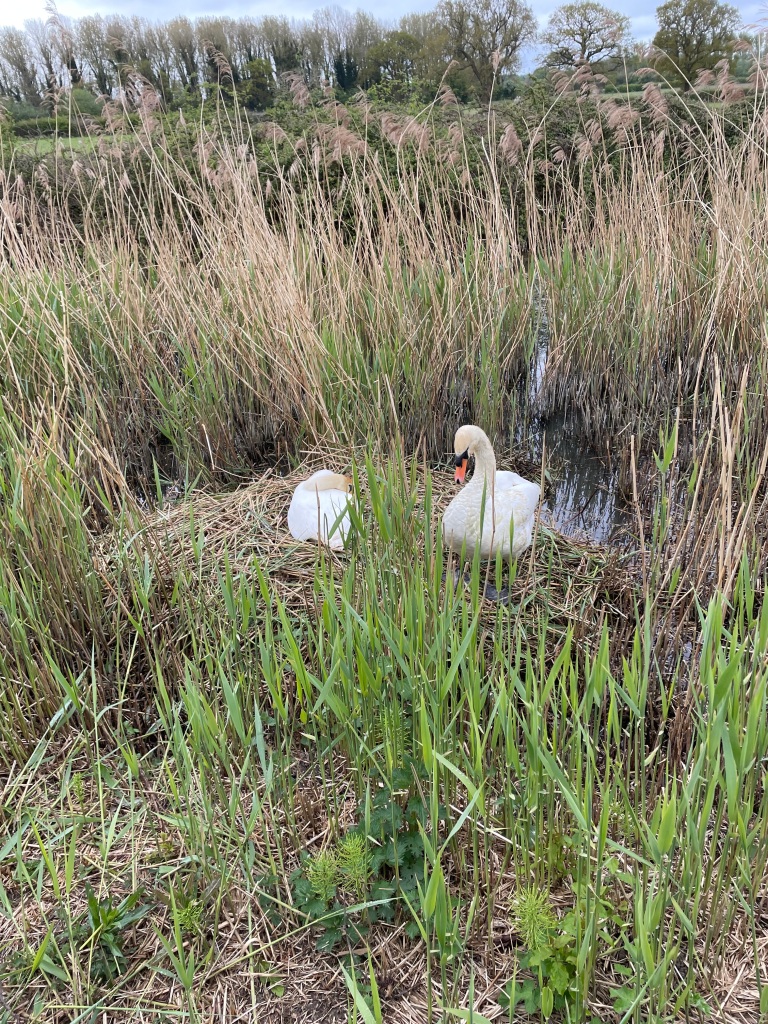
We passed a nesting swan – majestic birds- and a couple of Mallard ducklings. New life along the cut.
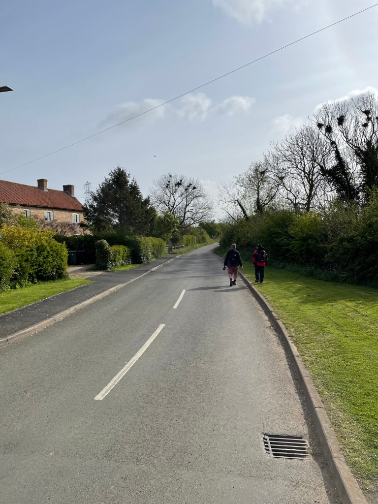
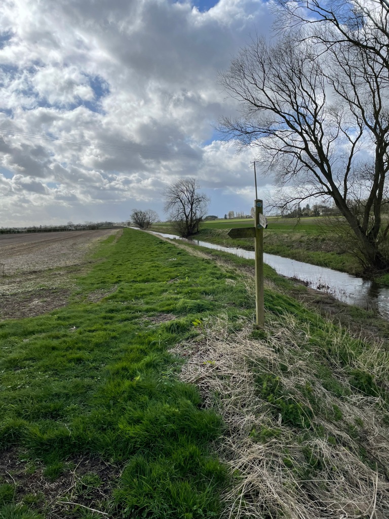
Chris was coughing and spluttering alot and clearly only firing on two cylinders. It was quiet along the canal with just the odd few cyclists, runners and dog’s walking their humans. If only the cyclists would ring a bell before frightening you half to death!

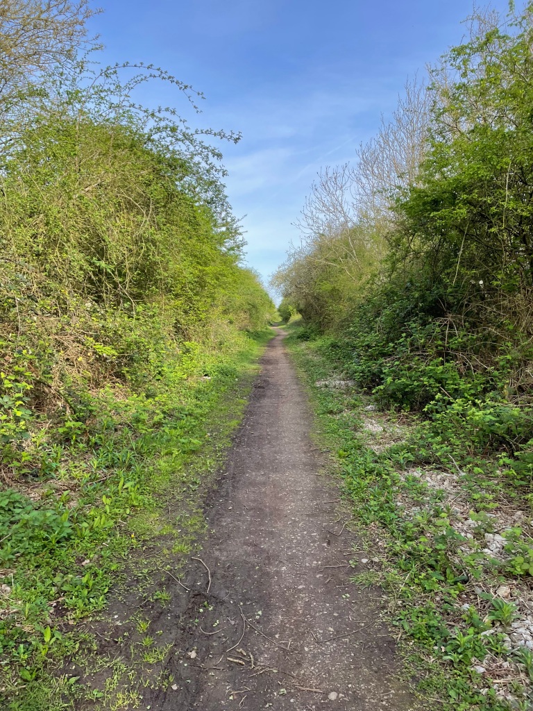
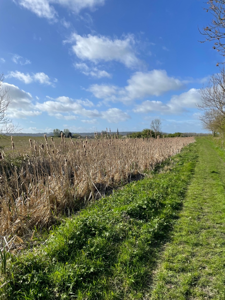
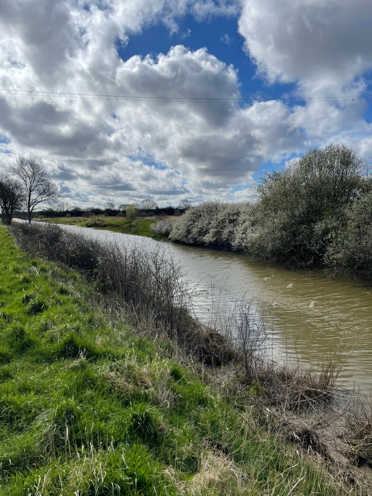
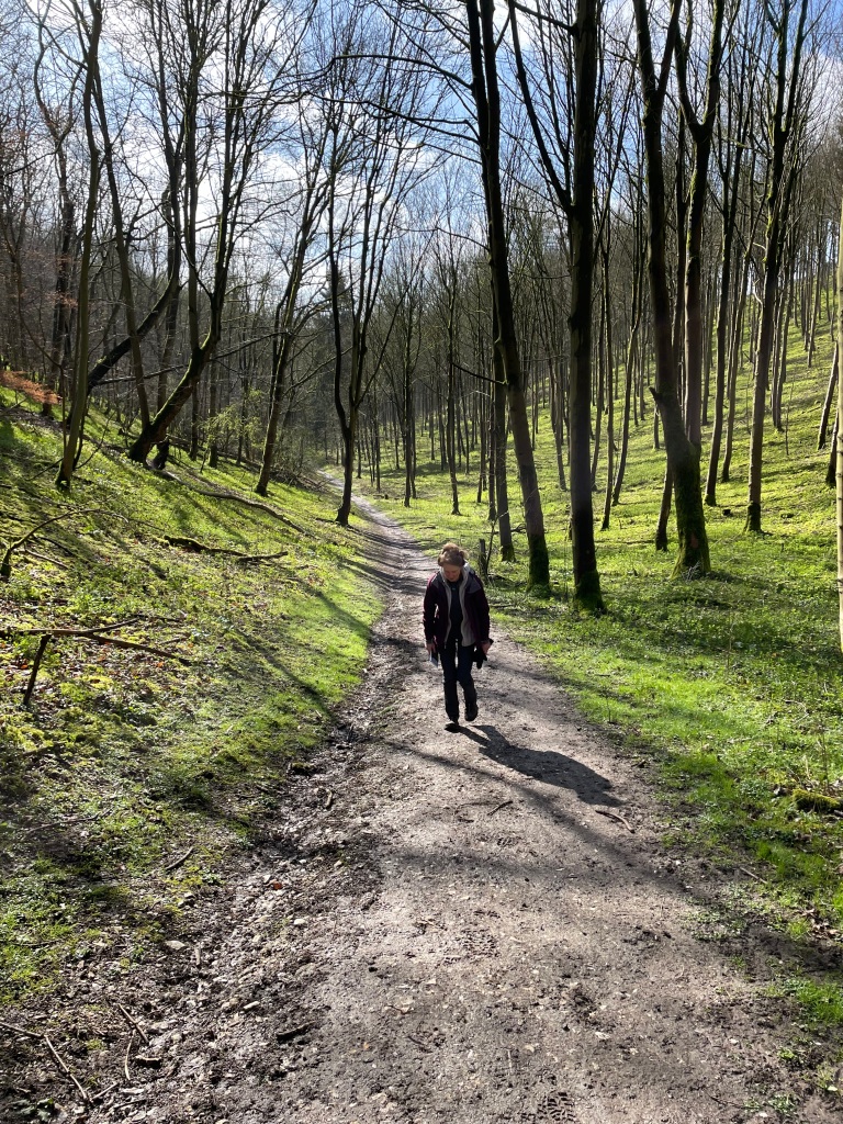
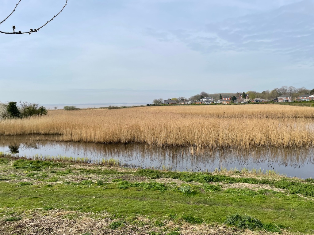
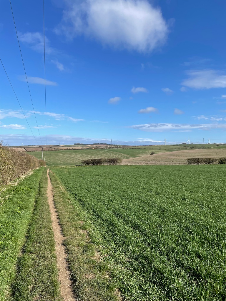
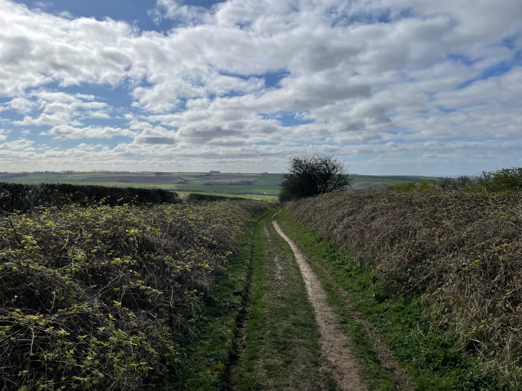
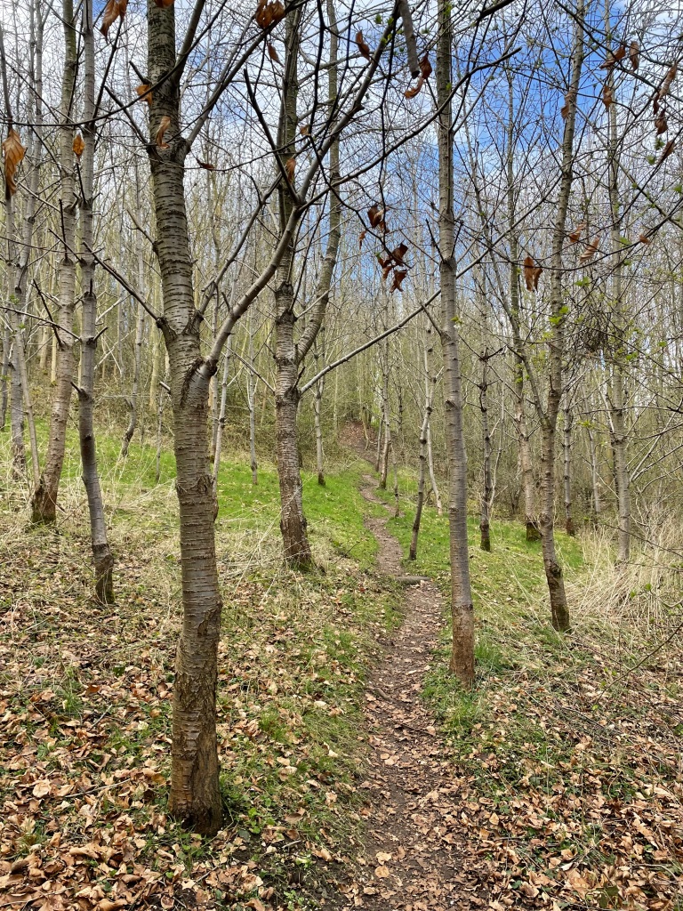
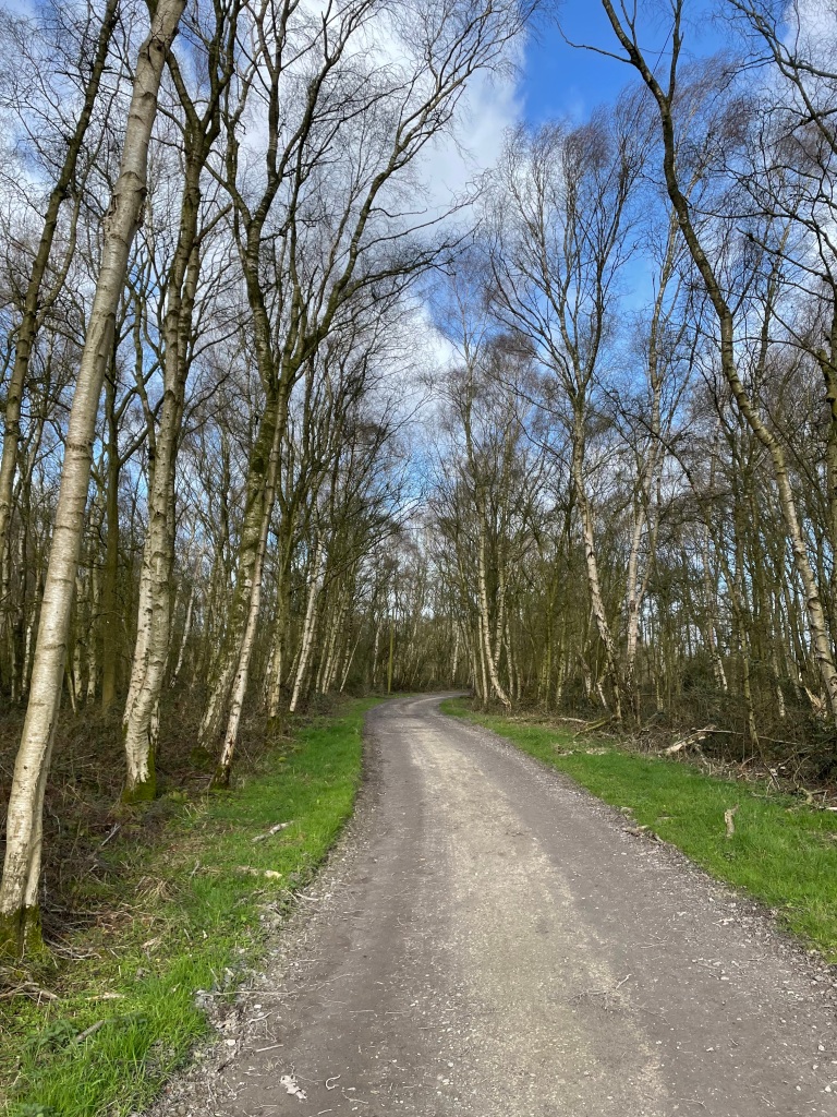
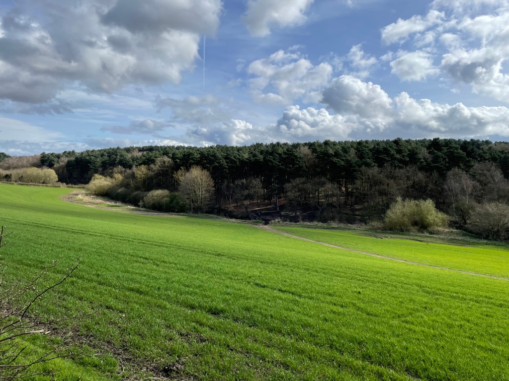
The green foliage was particularly striking this morning – spring was in full swing.


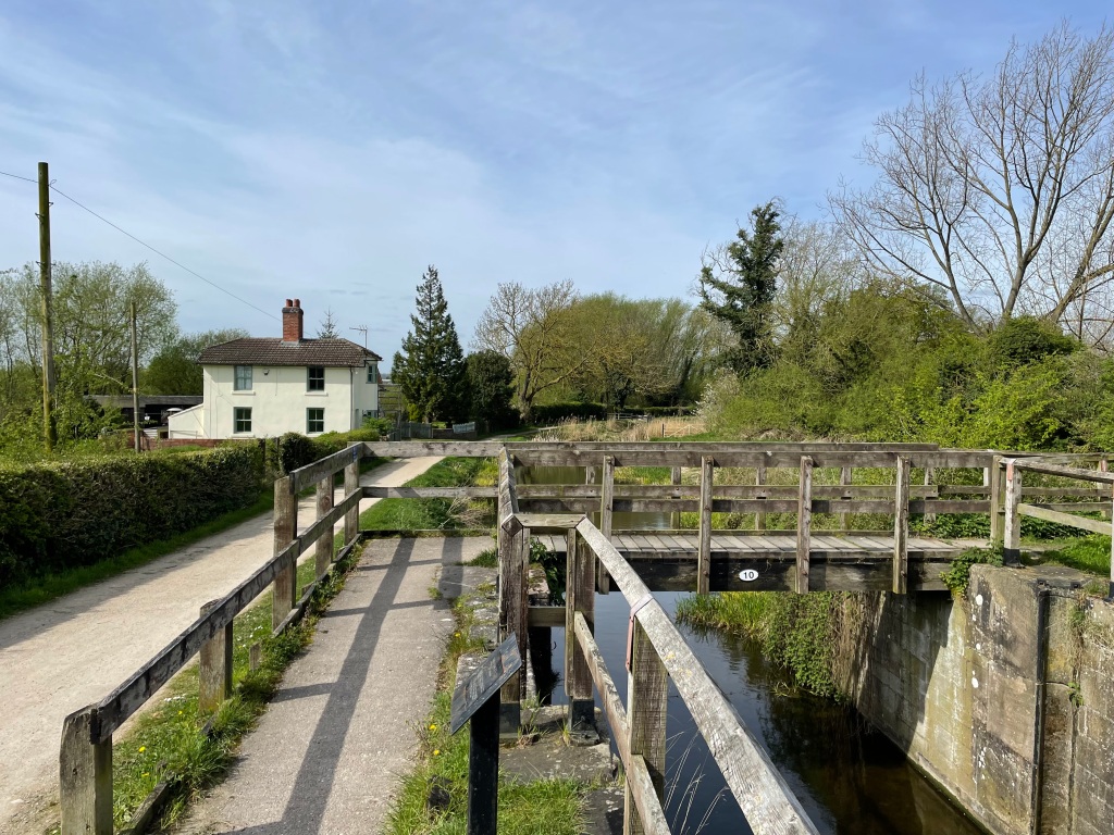
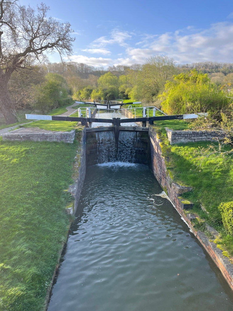
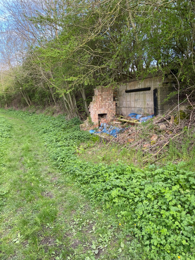
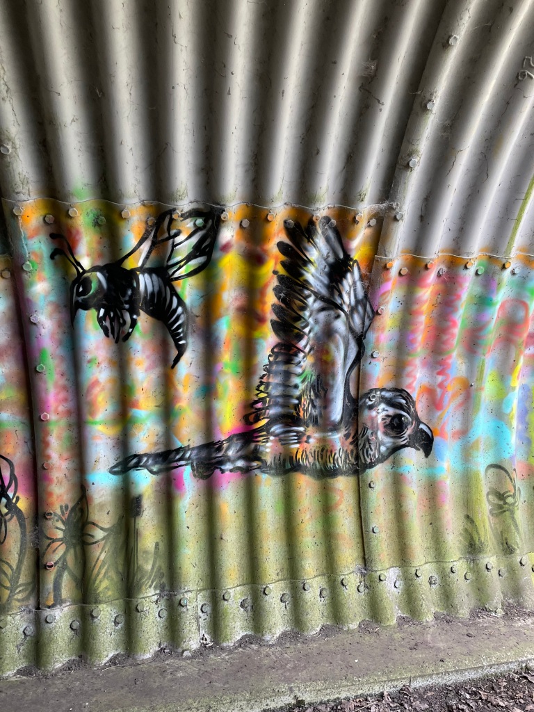
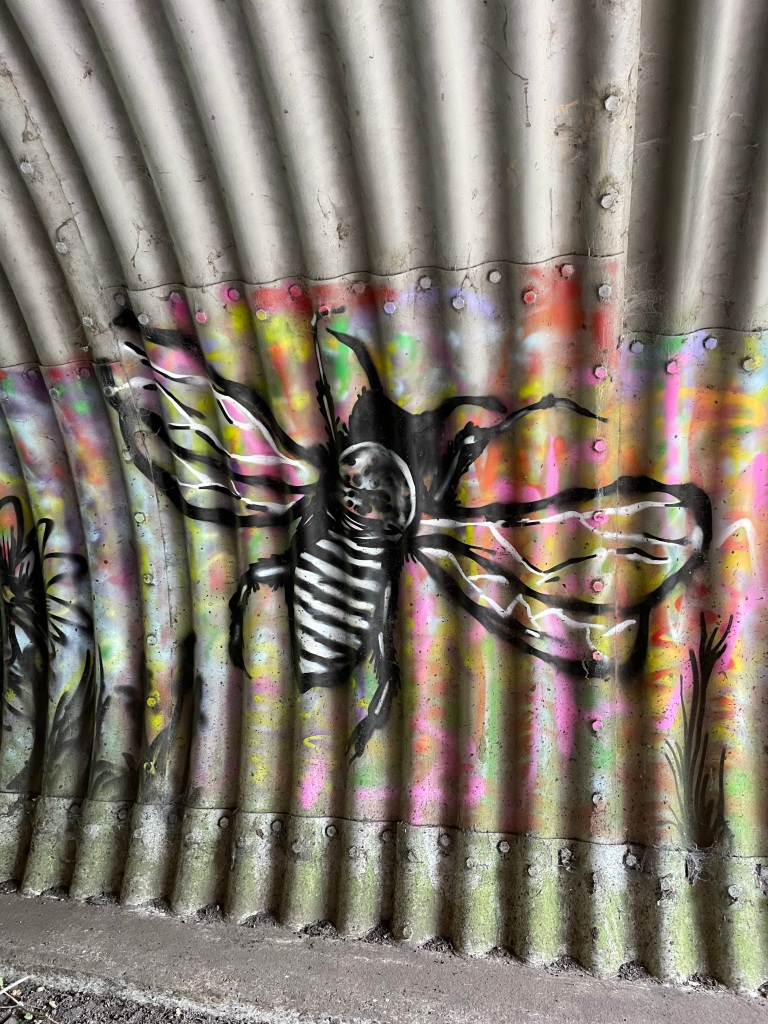
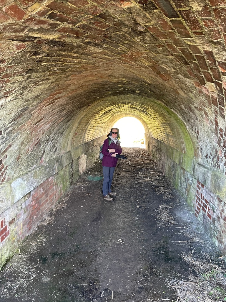
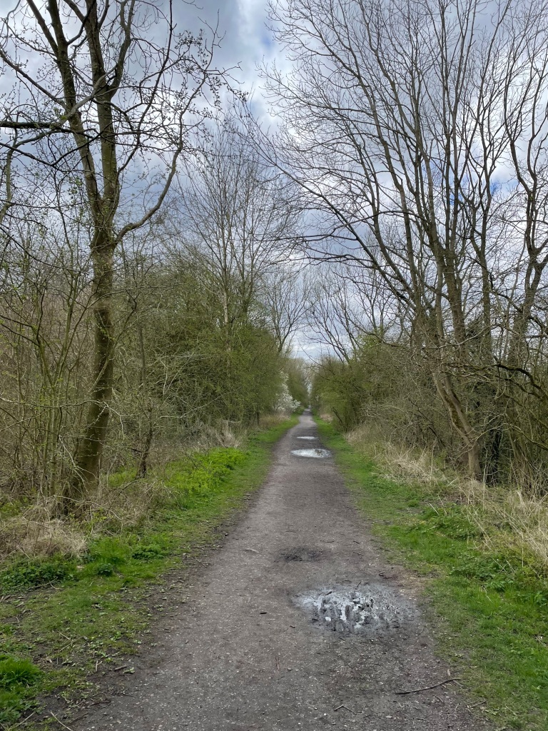
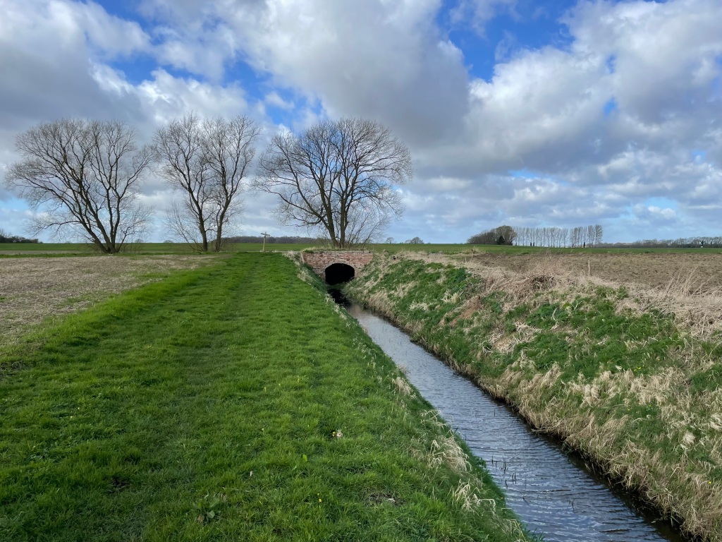
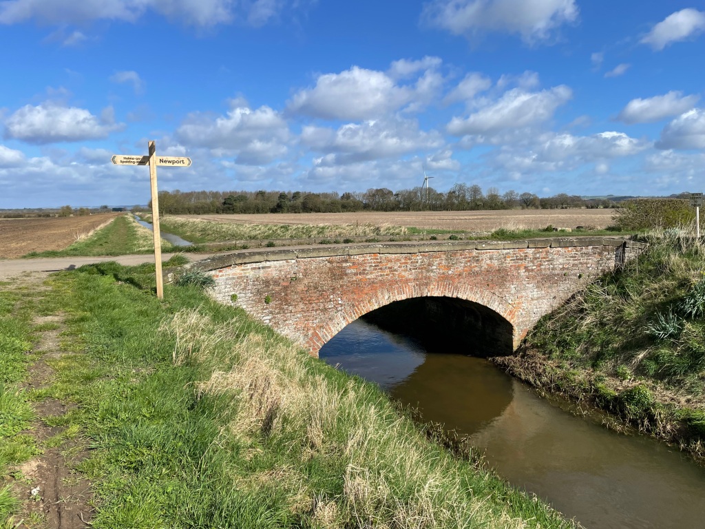
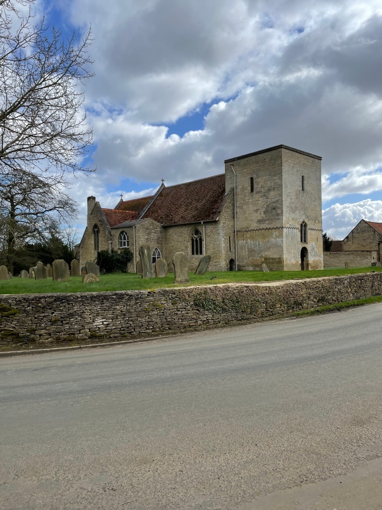
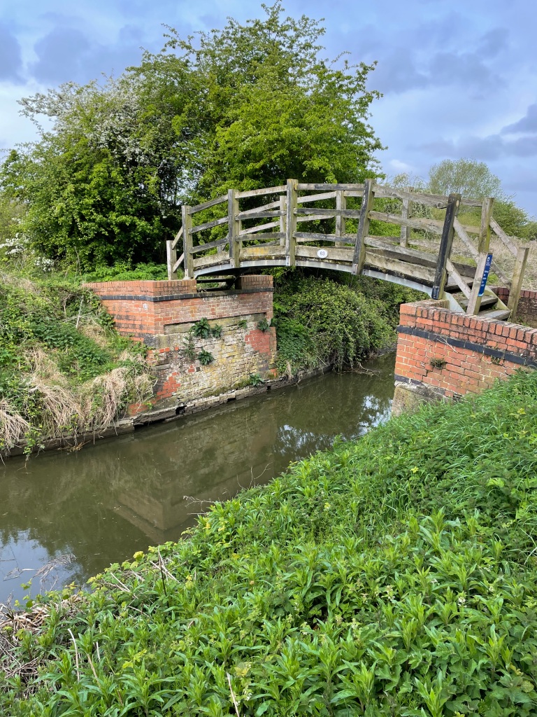
We passed under a number of brick humpback bridges along the way. I always enjoy looking at the brickwork.

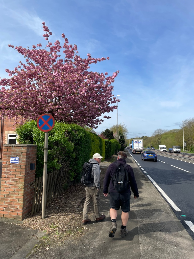
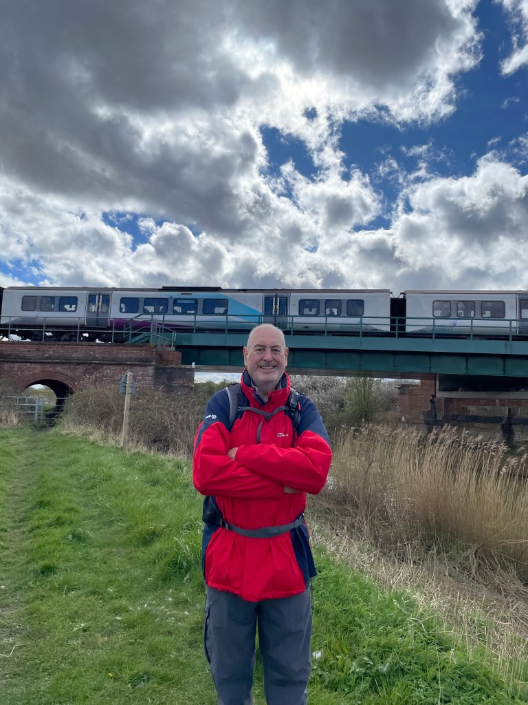
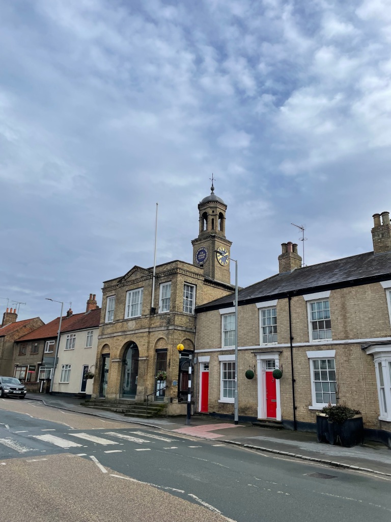
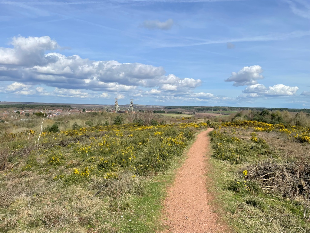
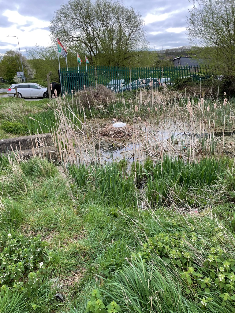
We reached the point where the A1 cuts across the canal and walked along Barrowby road to rejoin the canal in Grantham at Swingbridge Lane. We had left a rural area and were most definitely in urban territory.

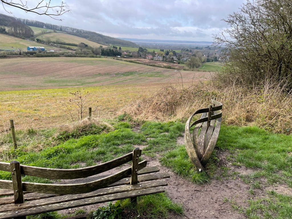
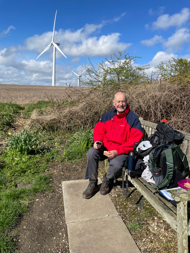
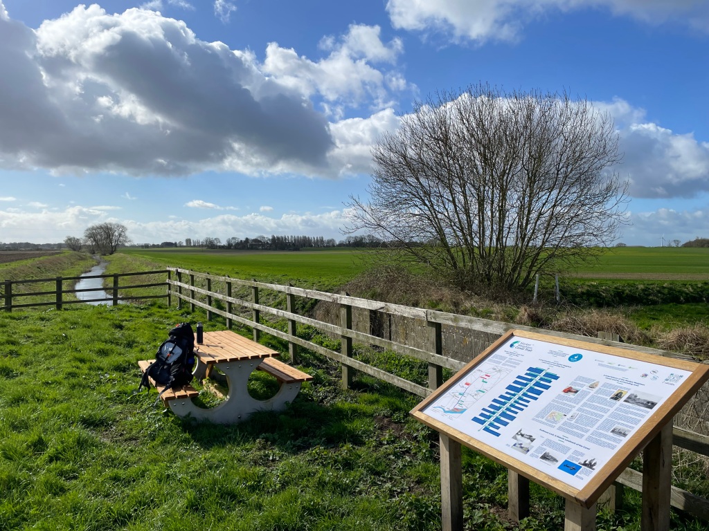
Walking to the end of the canal at Earlesfield Lane we passed another nesting swan and found a handy bench for a cuppa.
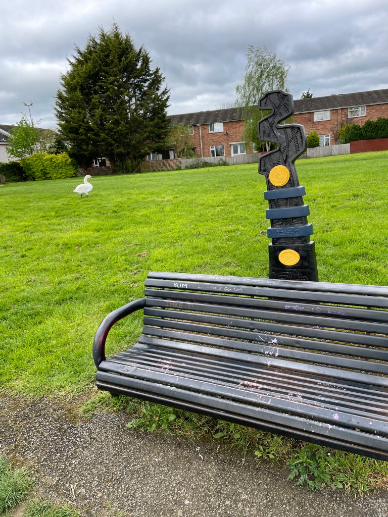
After a refreshing Bovril we headed back. Light drizzly rain accompanied us along our way. The main topics of Three Amigo talk this morning were canal water levels, Jury service and Guitar playing!

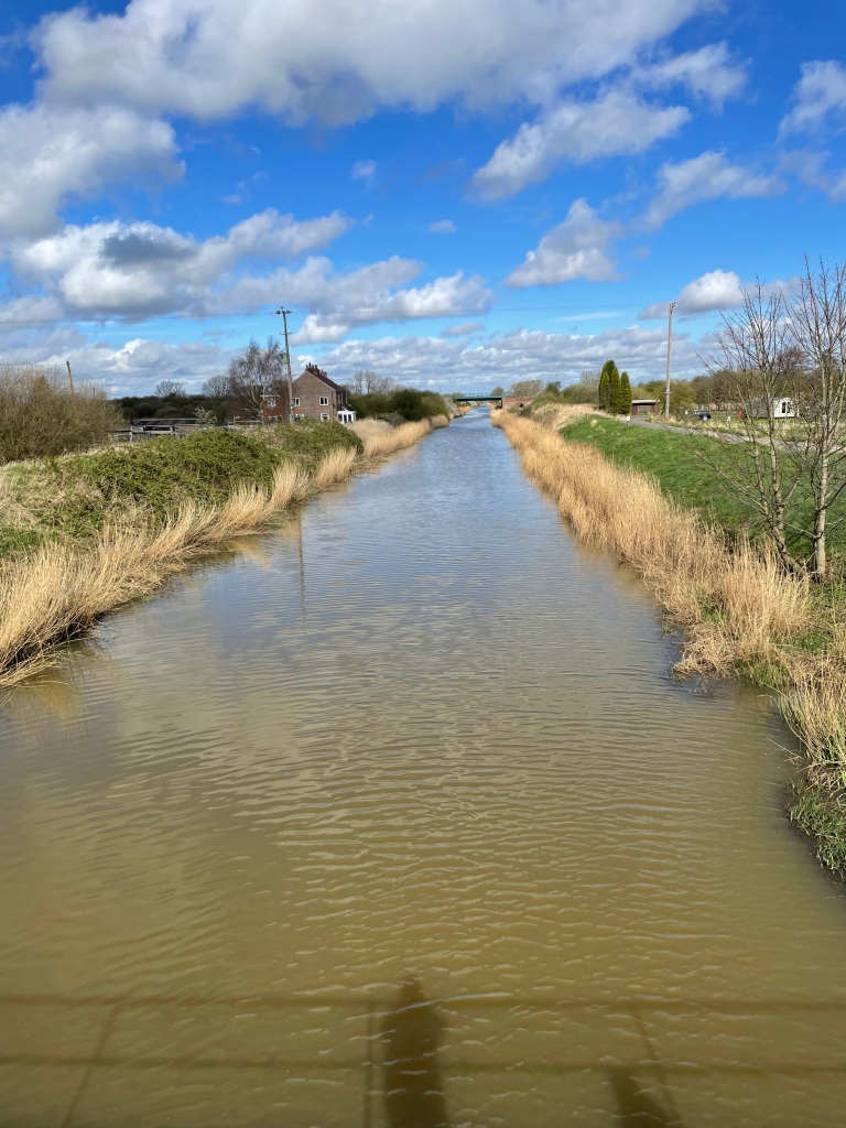
We had thoroughly enjoyed the walk. We never found a leak, but I later found out that over the weekend there had been some boat movements and locks opened/closed. Water from Denton reservoir, which supplies the canal, has now been turned on so it won’t be long before the water level returns to normal 😊.

Happy Walking! 😊🚶♂️