Hello and welcome back to my blog 😊.
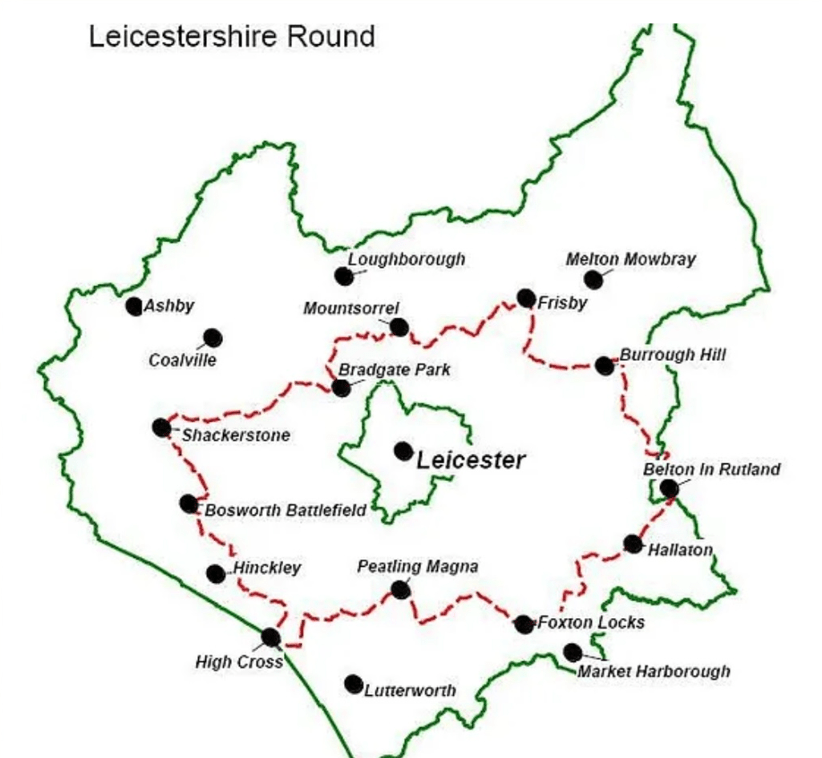
Today was a Three Amigo walk on another leg of The Leicestershire Round -the 100-mile circular walk around the county of Leicestershire. We paused our efforts over the winter months because the paths would have been quite muddy. We had started at Bradgate Park last summer and we are doing the walk proceeding in a clockwise direction.
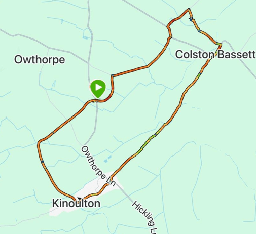
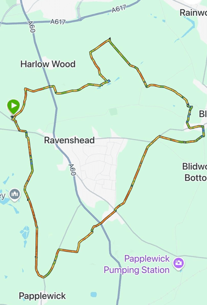
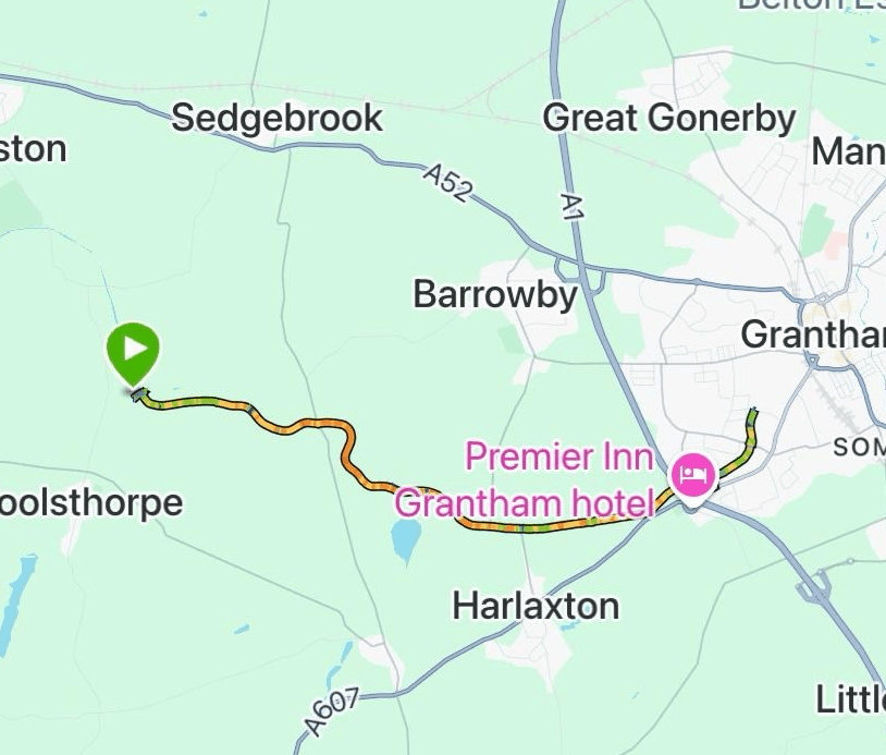
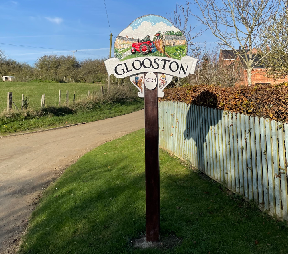
We resumed our walking today at the village of Glooston and did a 7-mile walk to Foxton passing through Stonton Wyeville, Thorpe Langton and East Langton.
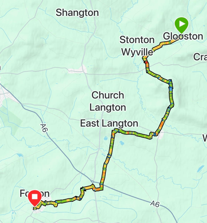
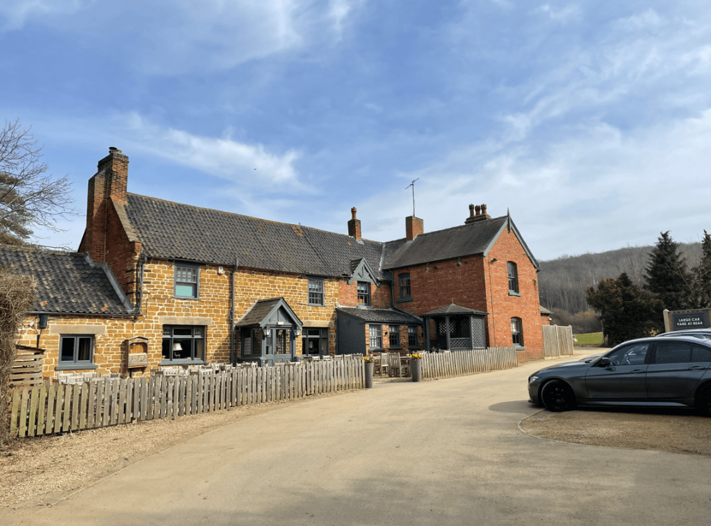
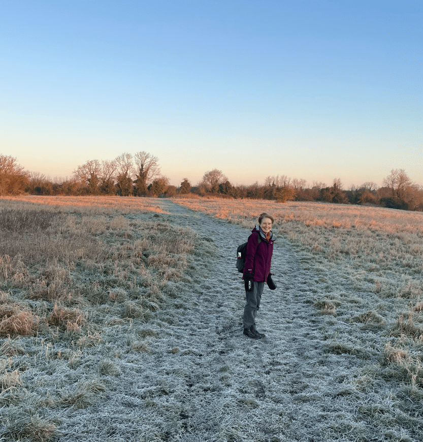
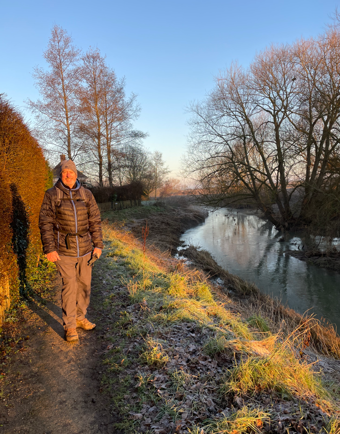
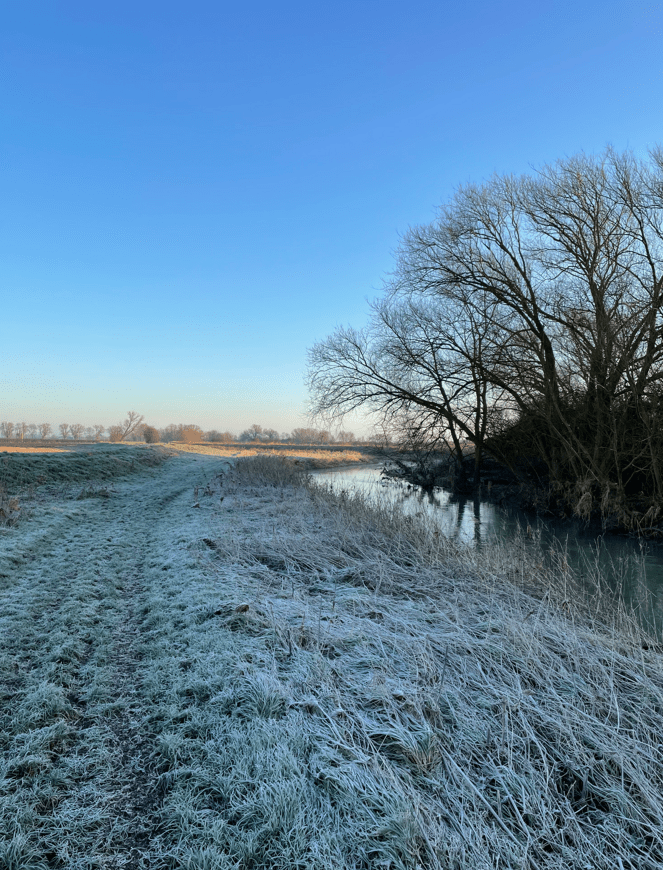
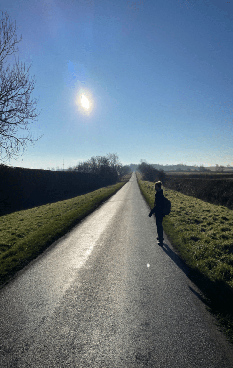
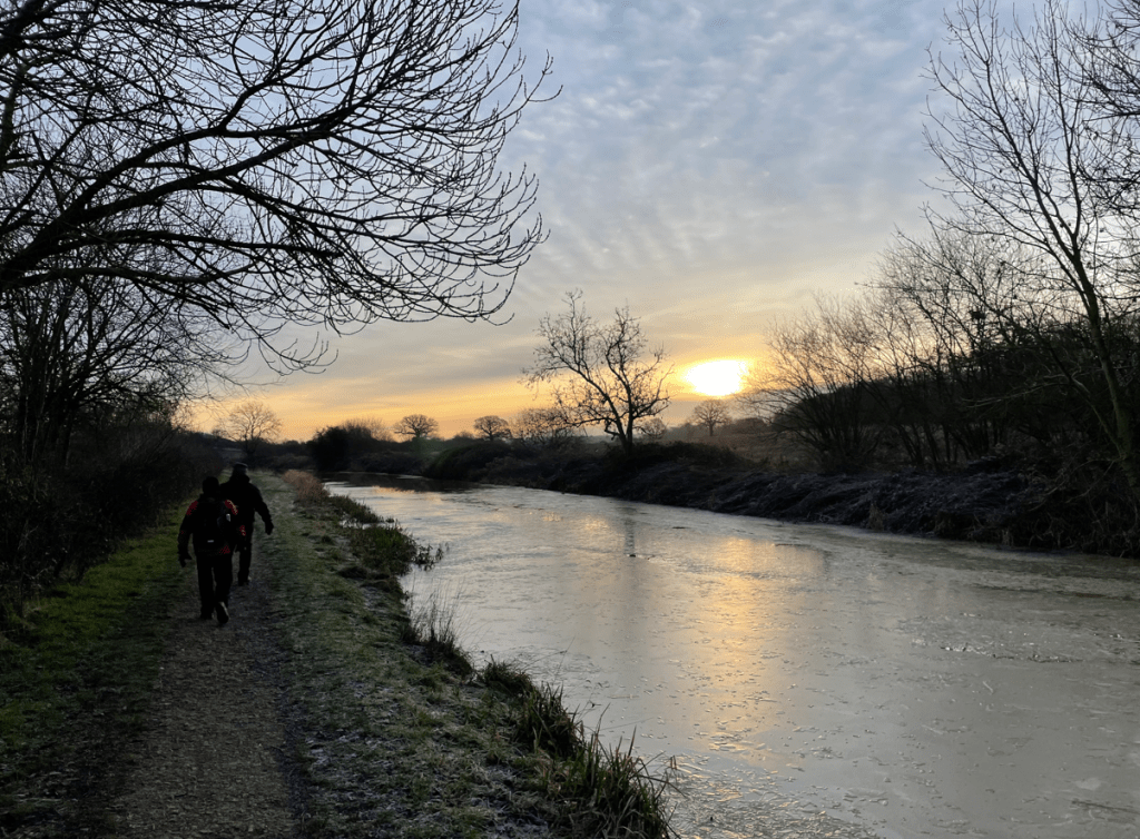
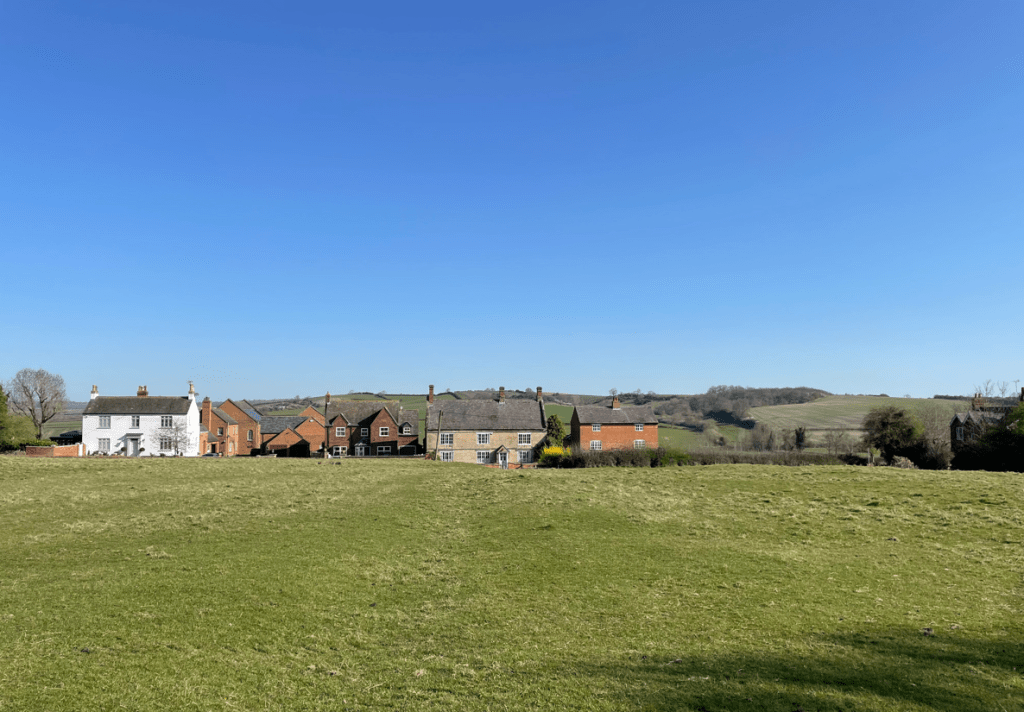
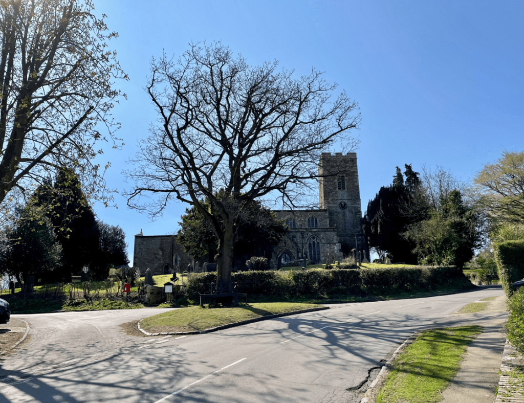
We all met at St Andrews church in Foxton and took a car to our start at Glooston. It was a perfect blue sky morning but a tad chilly – Chris was in his shorts again!
Things didn’t get off to a good start because I was looking at the map, and not where I was putting my feet, and tripped up on uneven ground and ended up on the floor – luckily my rucksack softened the fall. I think it was the great Arthur Wainwright who suggested you won’t go wrong provided you look where you are putting your feet. Lesson learnt!
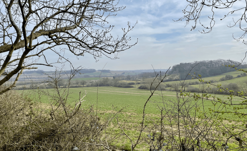
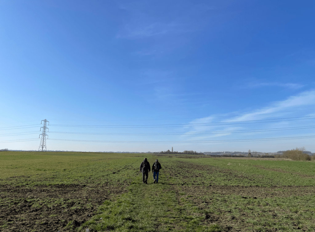
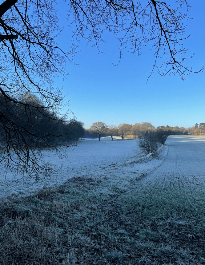
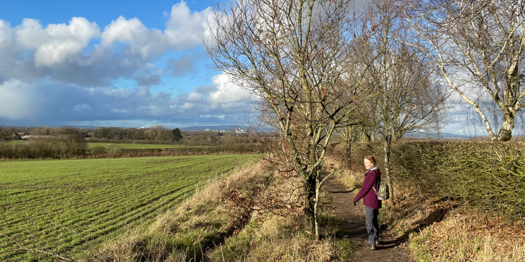
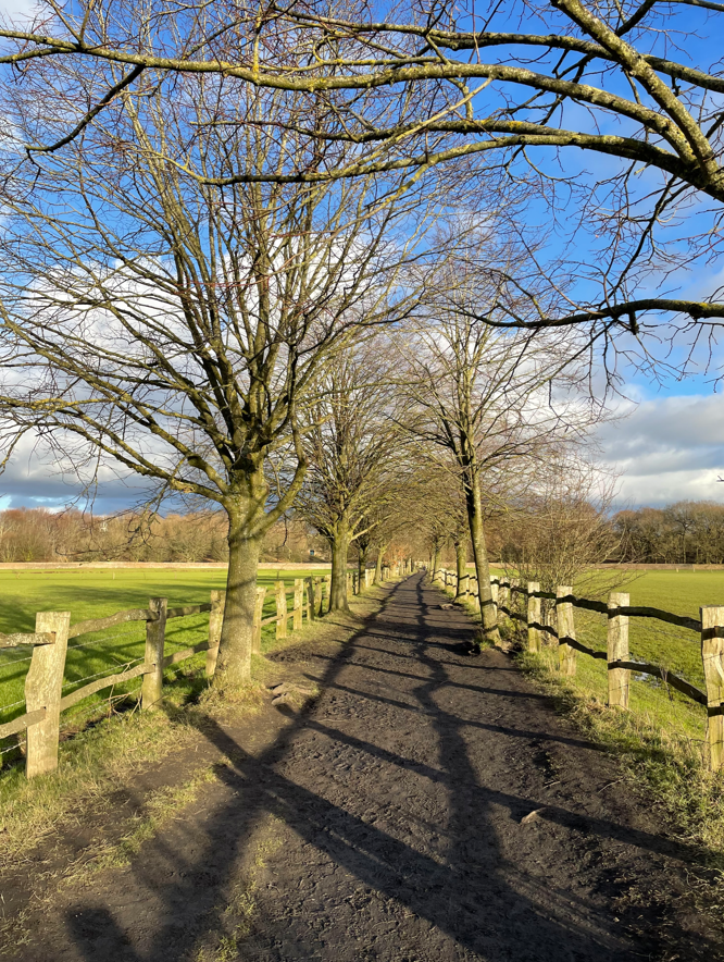
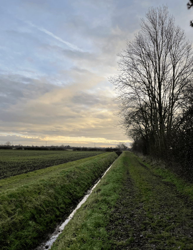
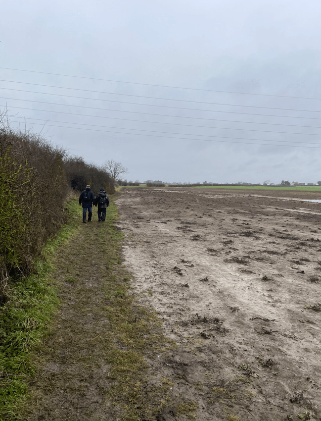
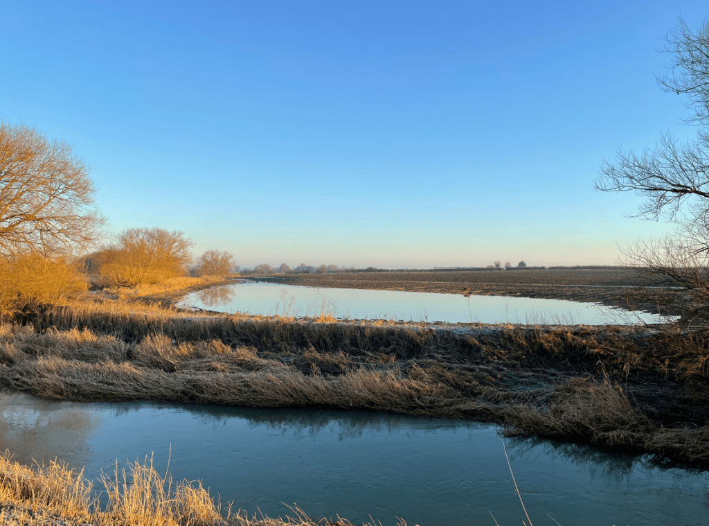
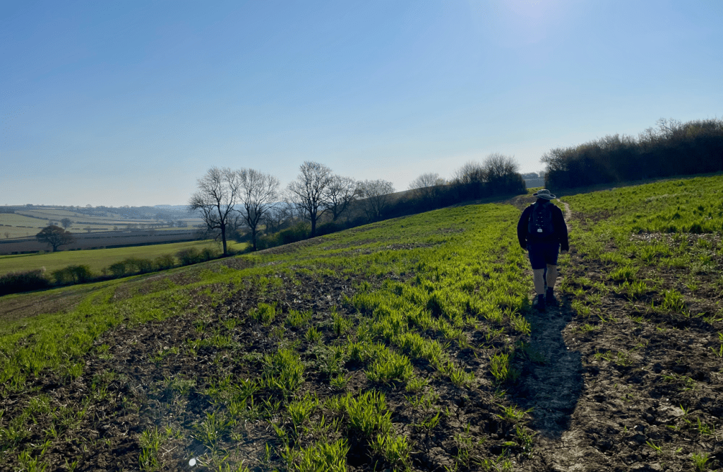
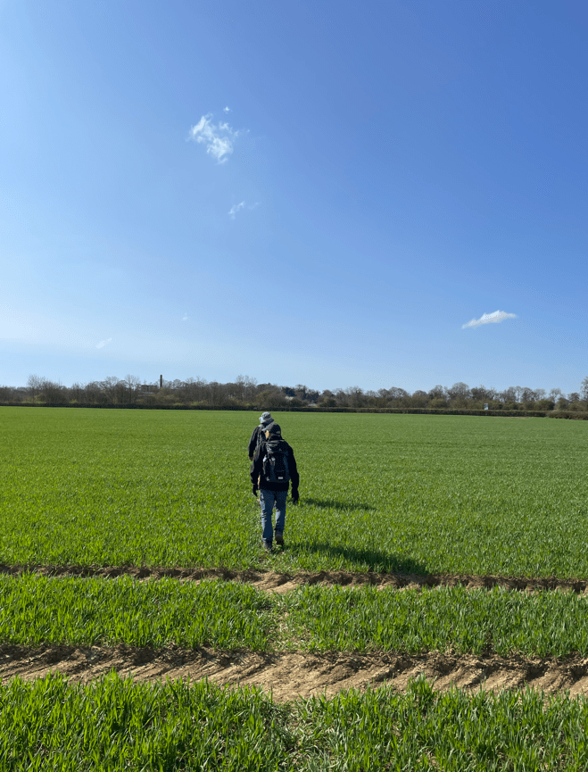
We crossed a few freshly ploughed fields and then some grassed fields where we admired the cute spring lambs.

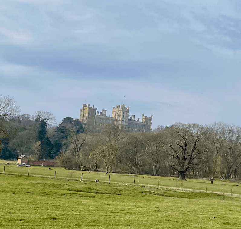
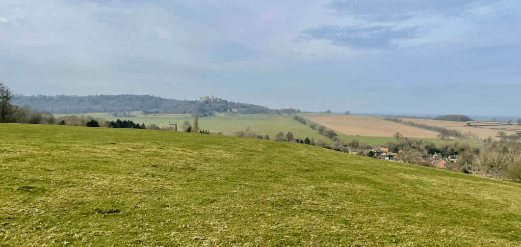
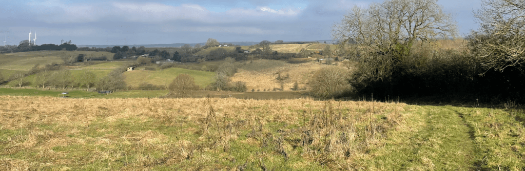
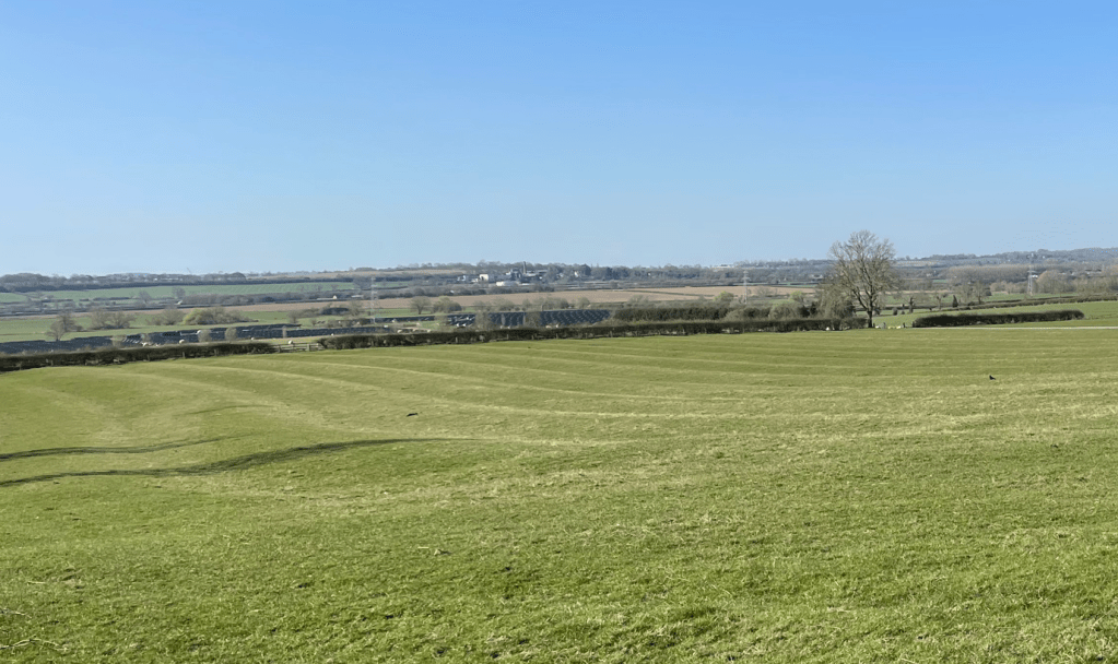
Our route took us uphill to a trig point at 147m where we had panoramic views. It was worth the effort.
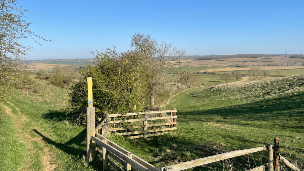
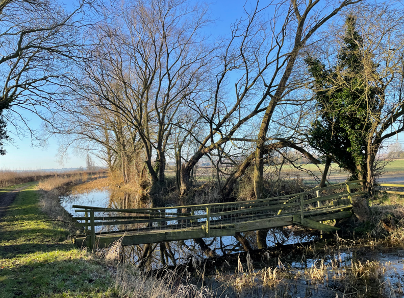
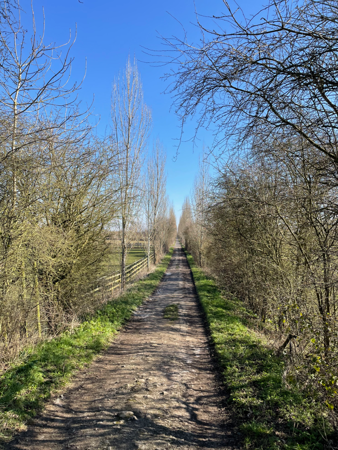
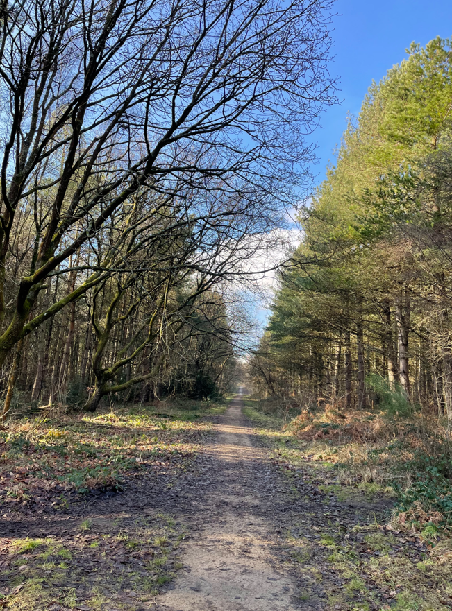
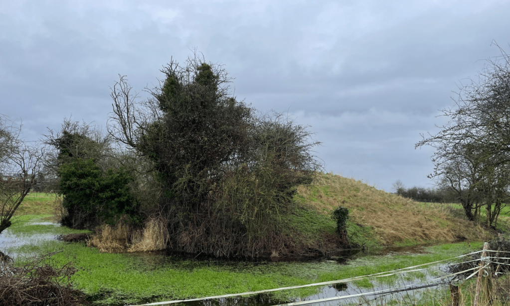
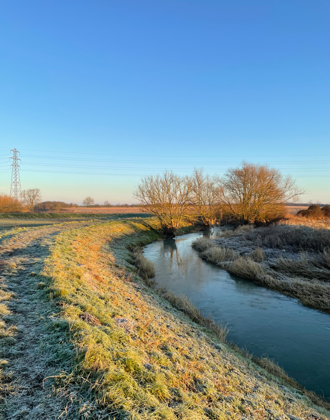
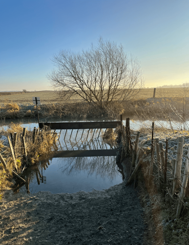
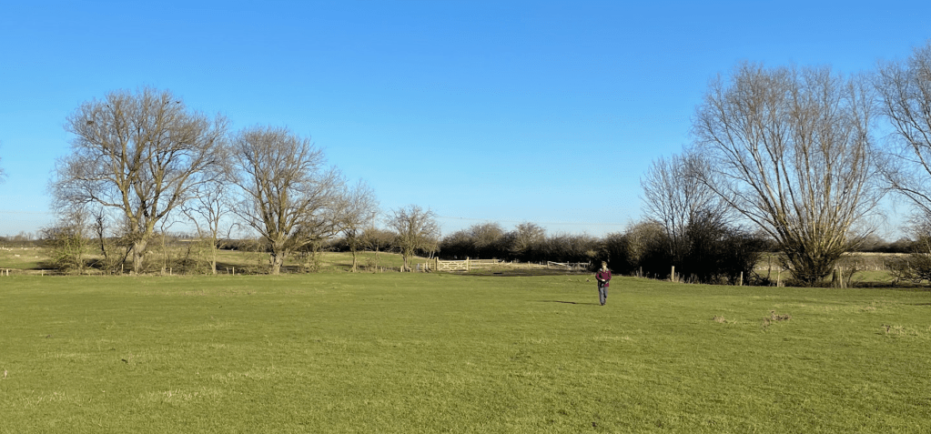
We then descended a long sloping valley pasture to the spinney at the far end. Cattle graze on this pasture and there were plenty of deep holes where the cattle’s hooves had sunk into the ground during wet weather. Today the ground was mostly rock solid- it would have been a grim section in wet conditions. Still, it was challenging enough not to trip up in the ruts.

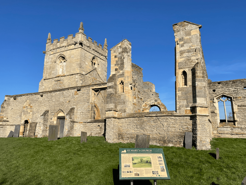
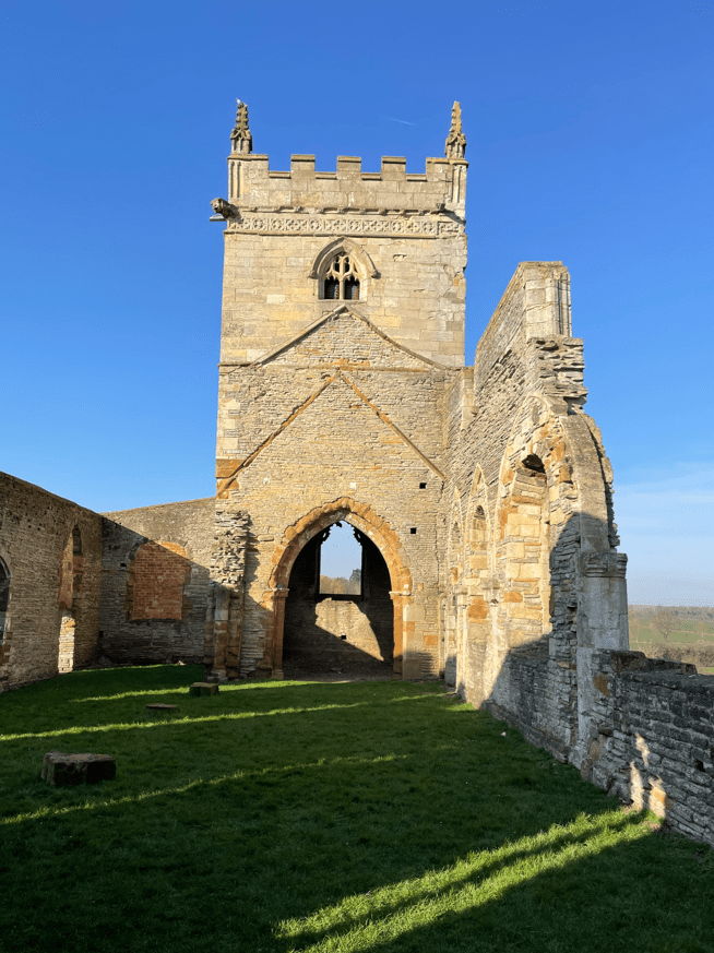
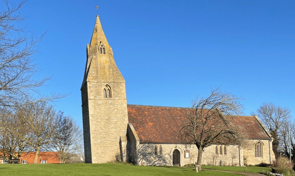
We arrived into Thorpe Langton where we spotted a bench by St Leonards church and took a break. We were hoping that ground conditions might improve for the remainder of the walk.
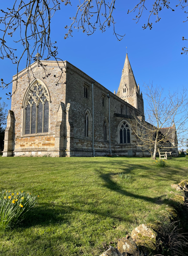
Mick commented that the cemetery didn’t have many graves – apparently there were no burials here until the middle of the 19th century because earlier it was a chapel to the mother church at Church Langton.
As we left Thorpe Langton Chris pointed out the Ridge and furrow pattern on a field. This archaeological pattern of ridges and troughs was created by a system of ploughing used in Europe during the Middle Ages.
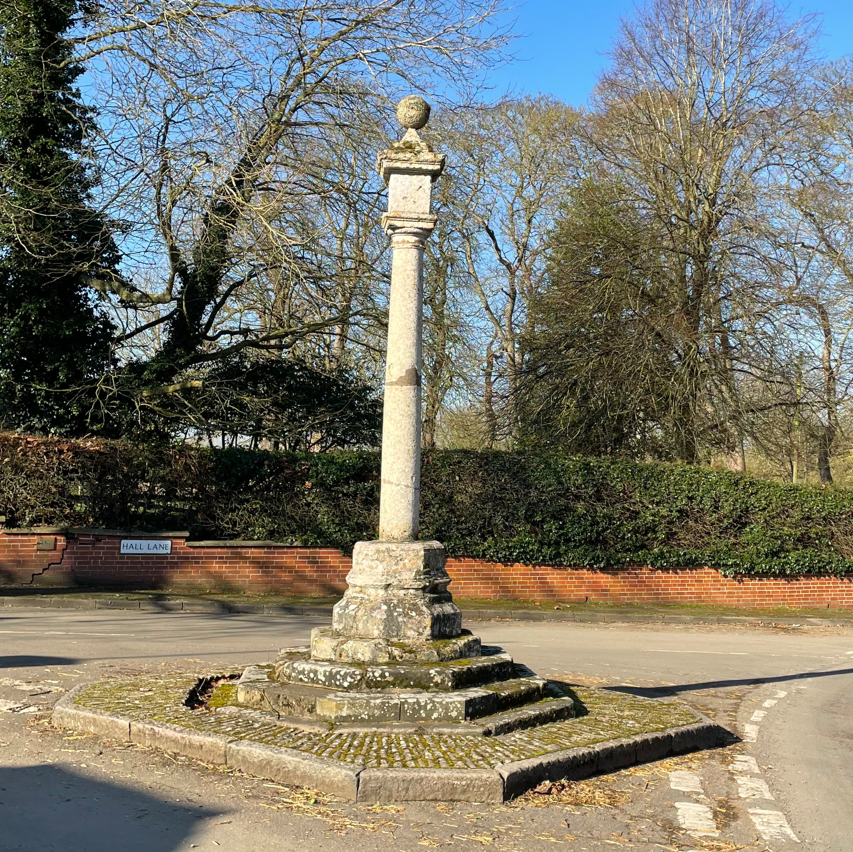
Next, we passed a strangely situated stone pillar along the route inscribed ‘Lottery Feb 21st 1886’. Apparently it remembers a famous racehorse that won the first Grand National in 1839. It spent time at Astley Grange Farm Stud close by.

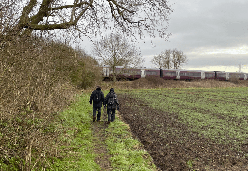
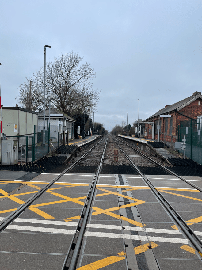
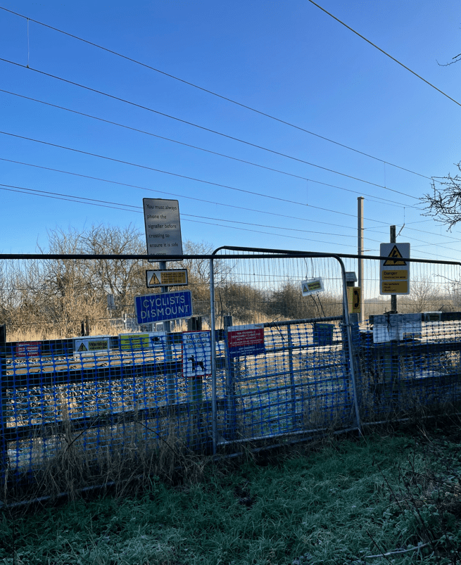
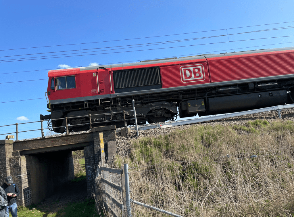
Continuing on through fields containing well behaved cattle we passed under the railway bridge for the main Leicester to St Pancras line.
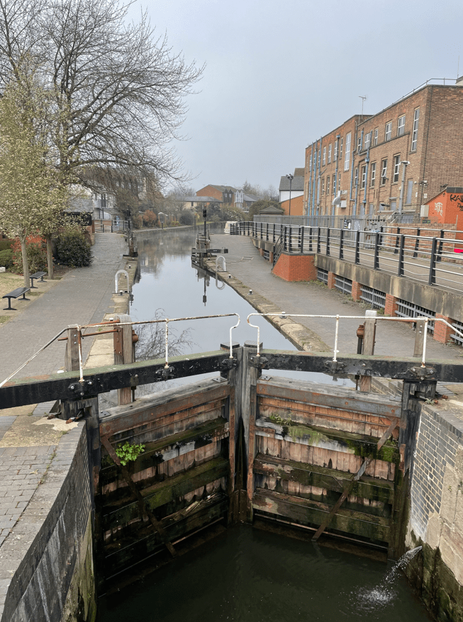
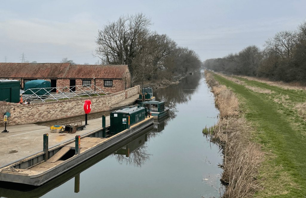
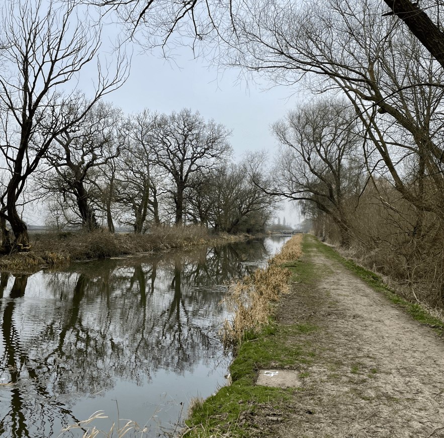
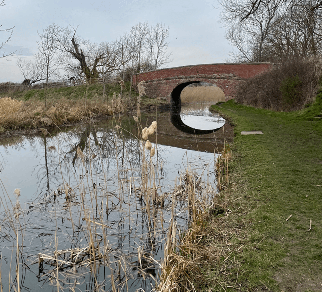
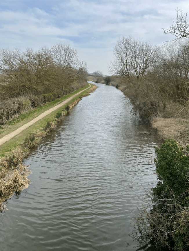
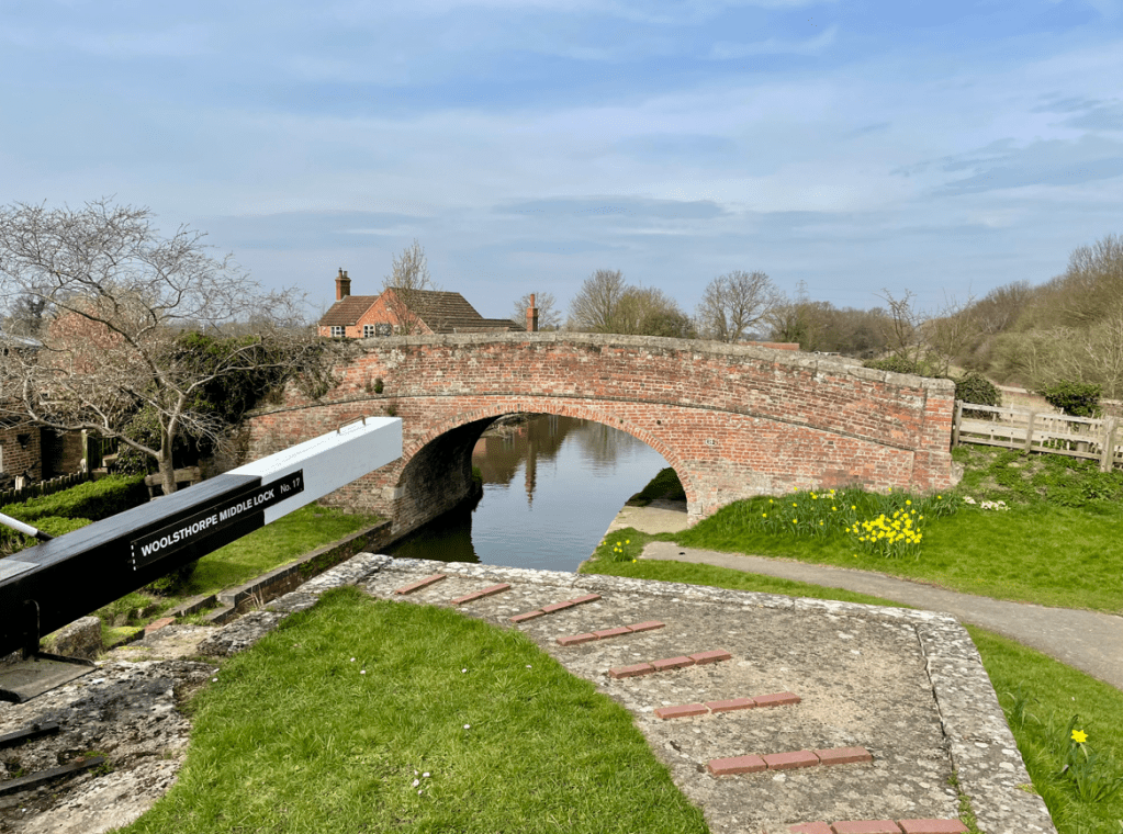
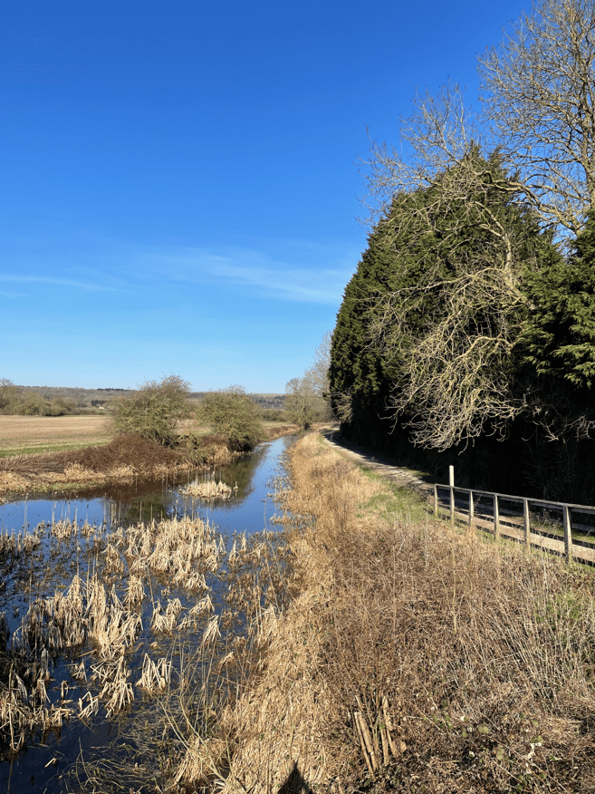
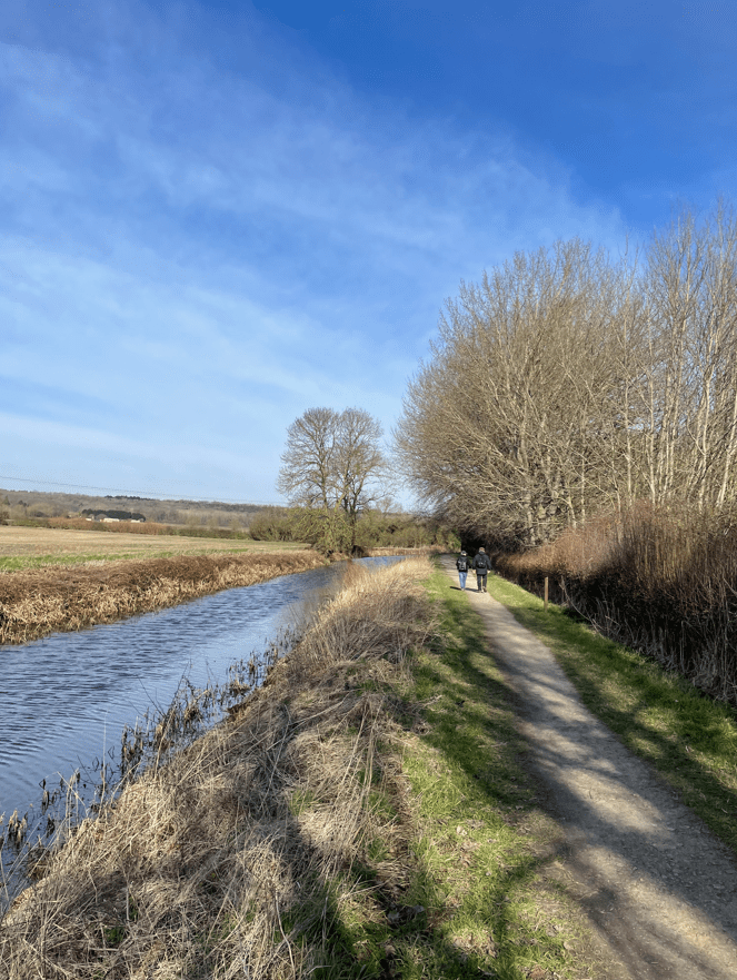
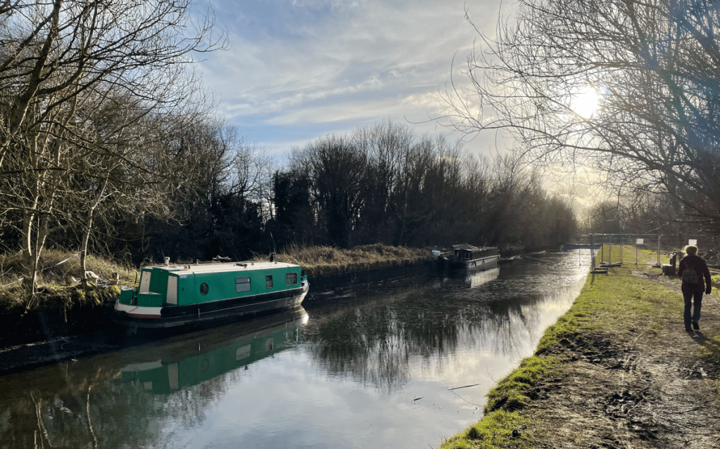
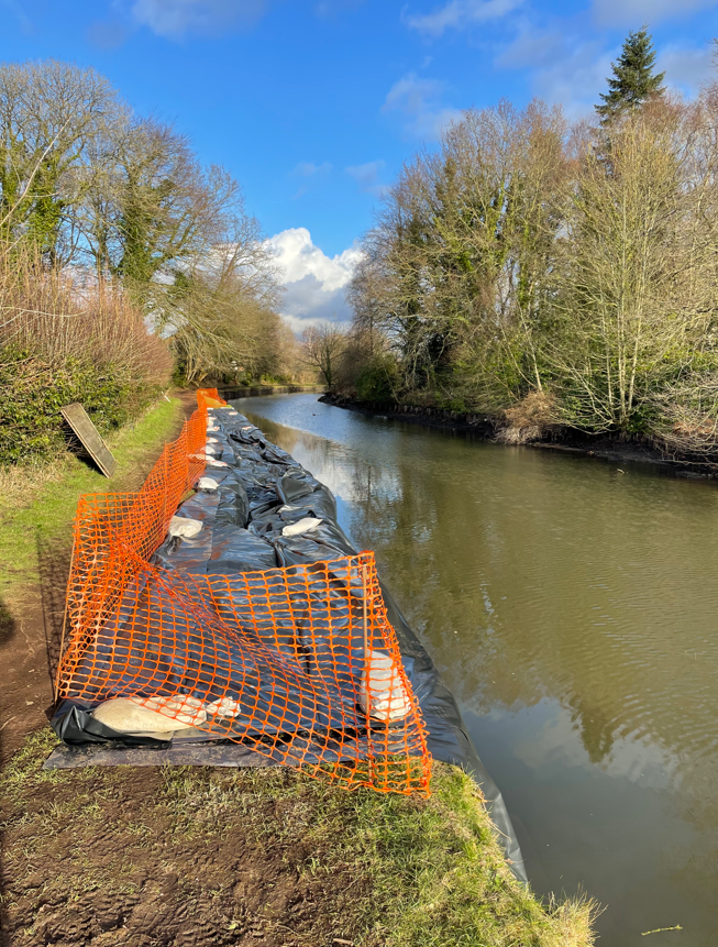
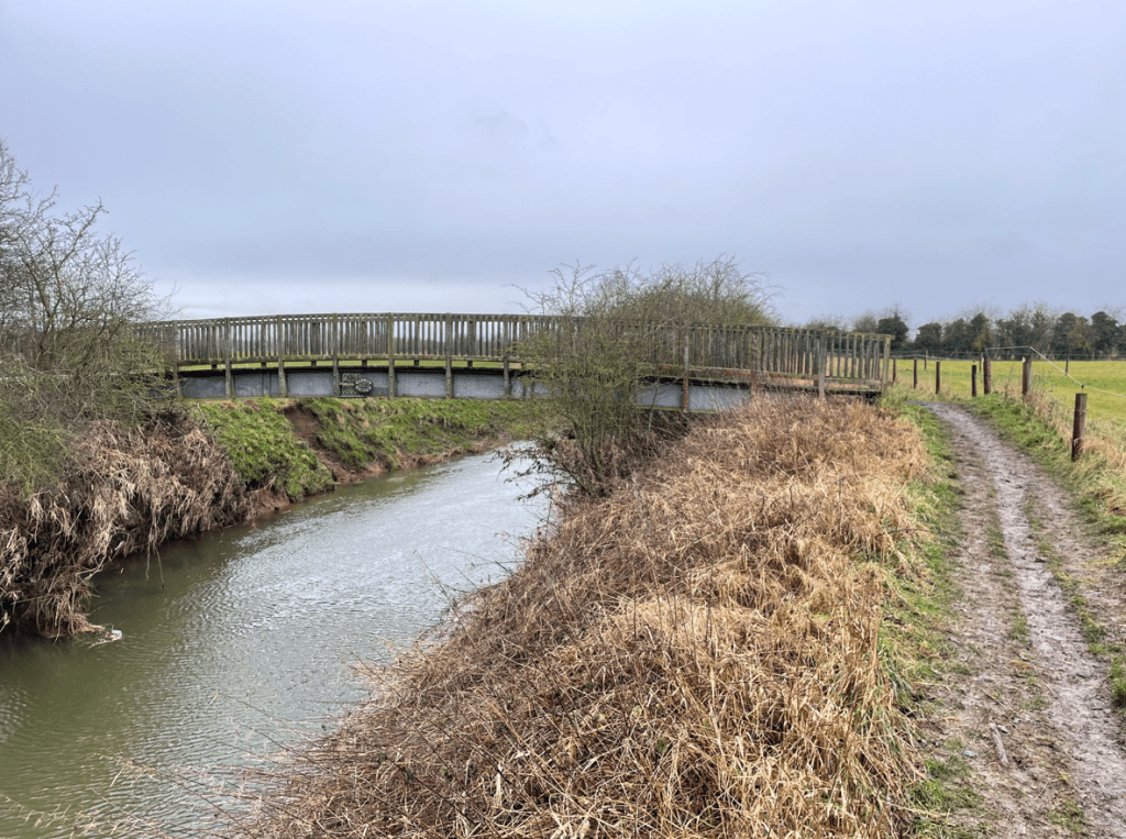
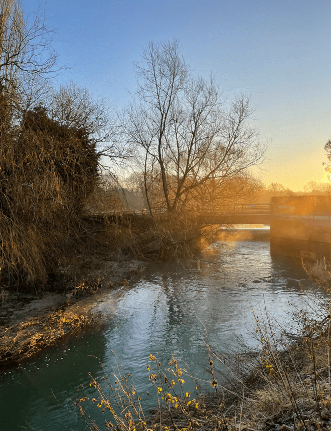
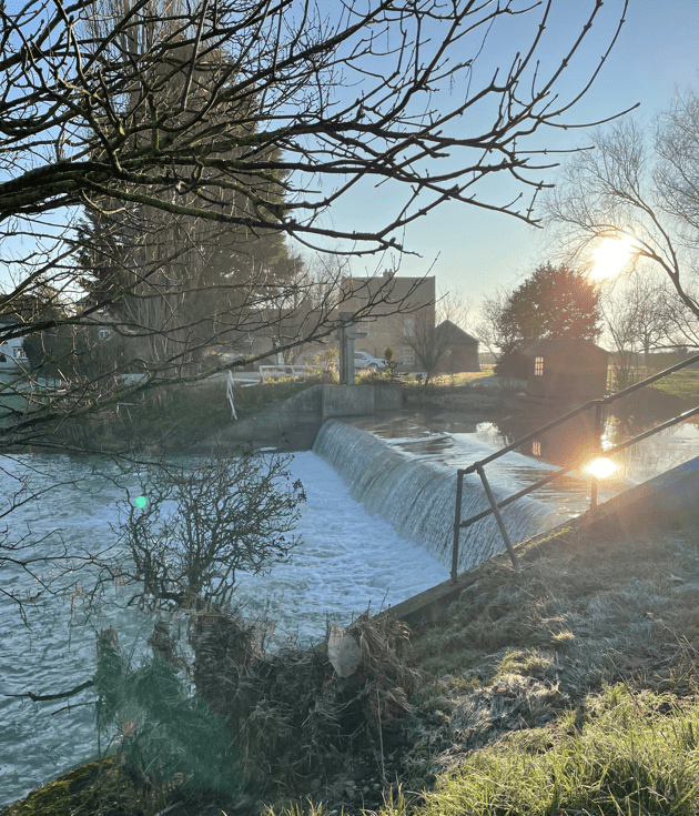
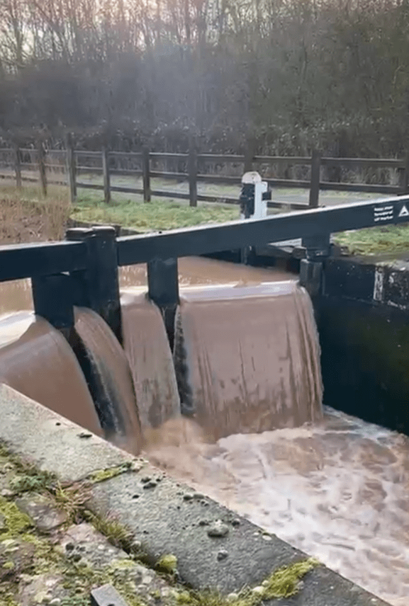
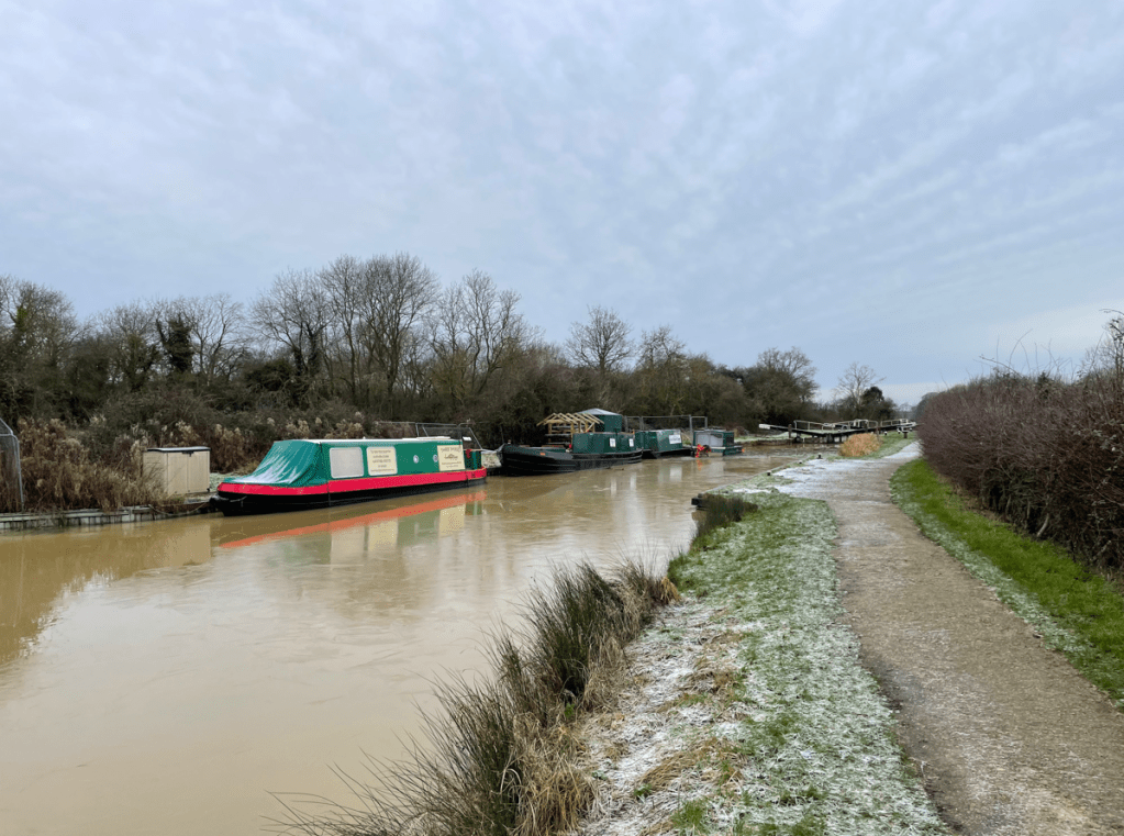
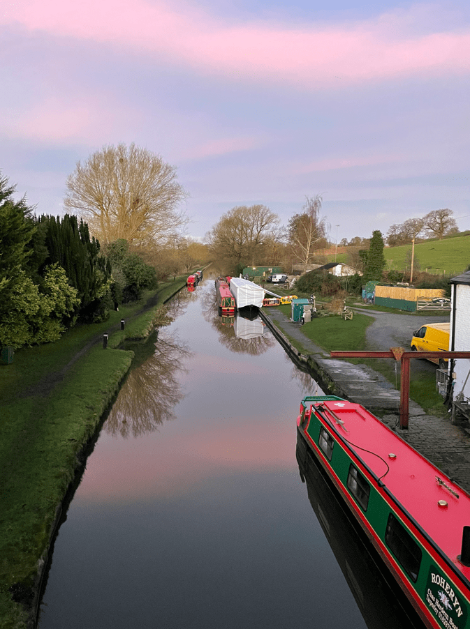
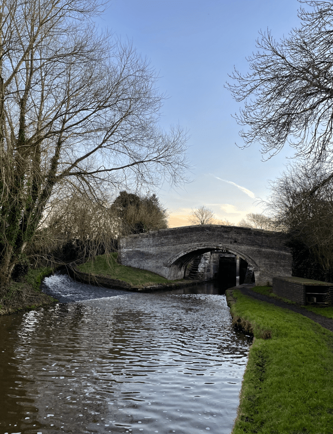
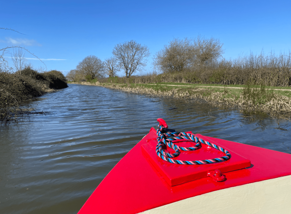
Crossing the last few fields we were arriving into Foxton village where we crossed over the Grand Union Canal before shortly arriving at St Andrews church- our destination for today.

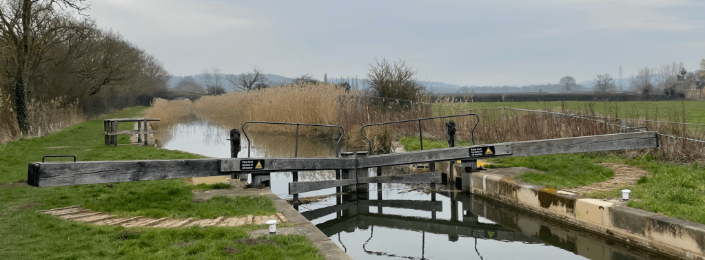
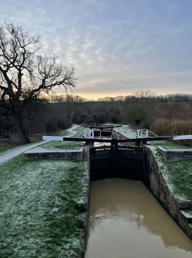
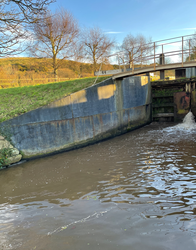
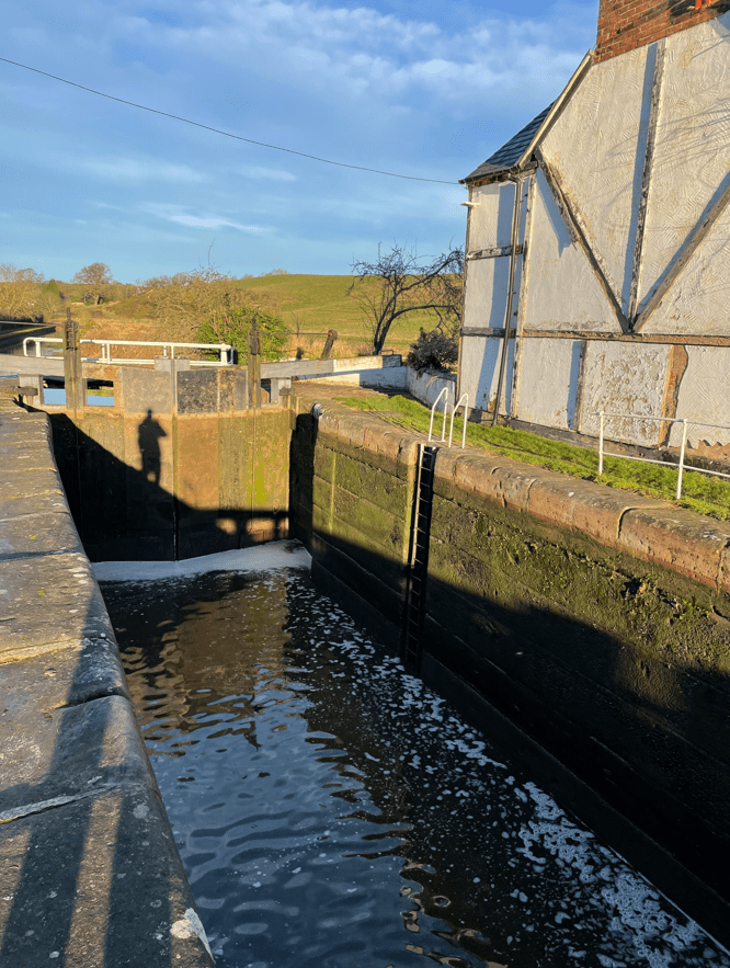
Our next leg will take us from Foxton to Bruntingthorpe during which we will walk up the famous flight of locks at Foxton.
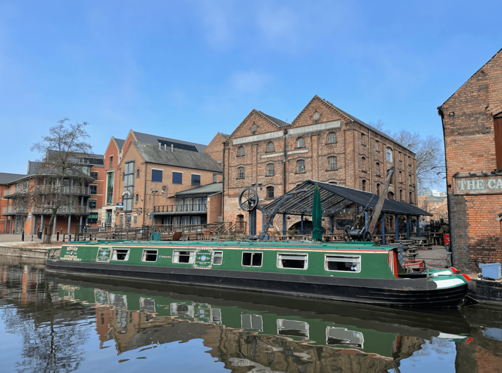
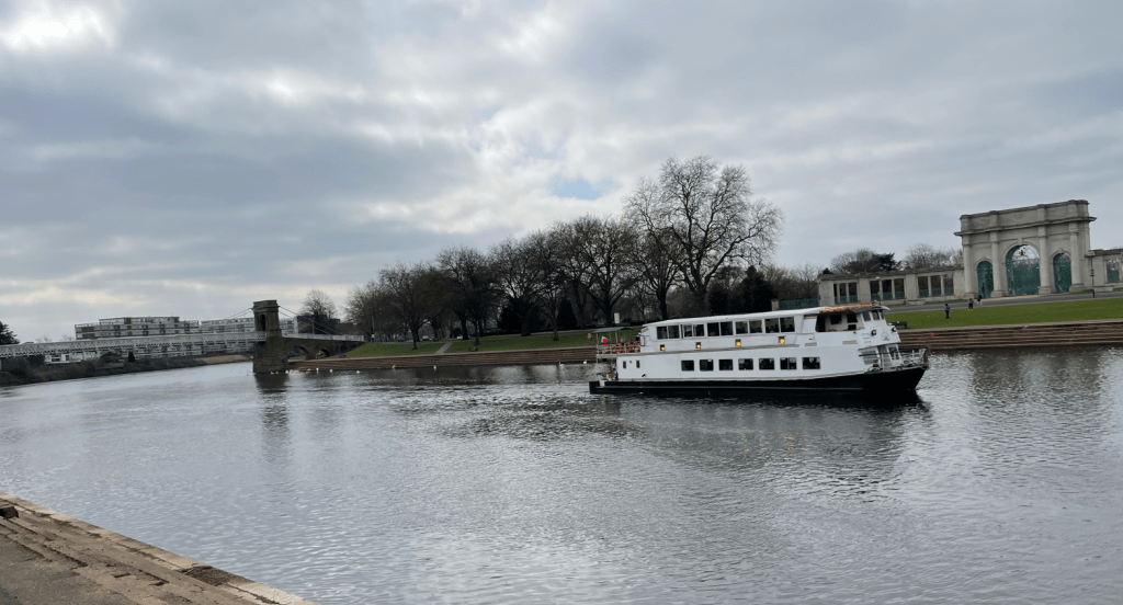
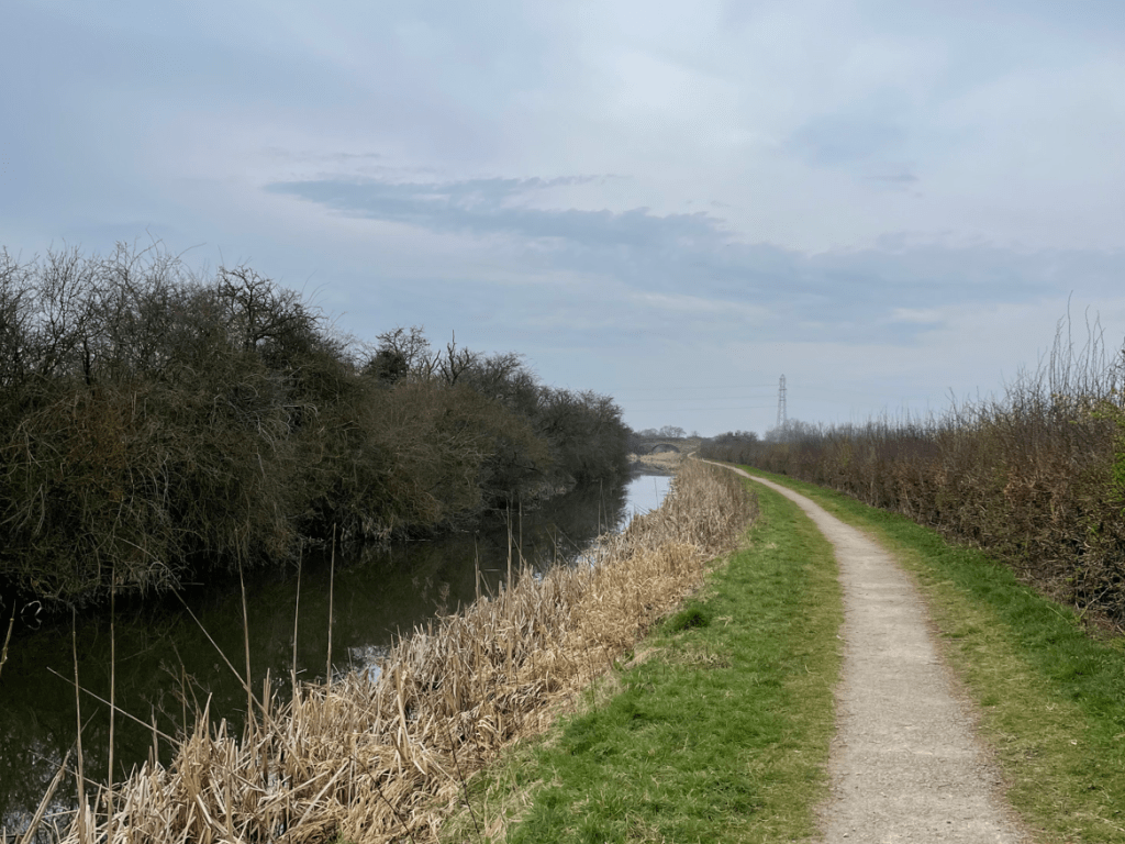
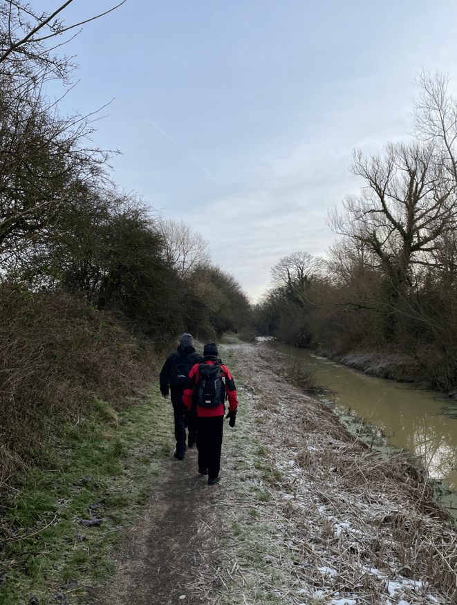
Today was a perfect day for walking or taking a ride on a canal boat.
Happy Walking! 😊🚶