Hello and welcome back to my Blog 😊.
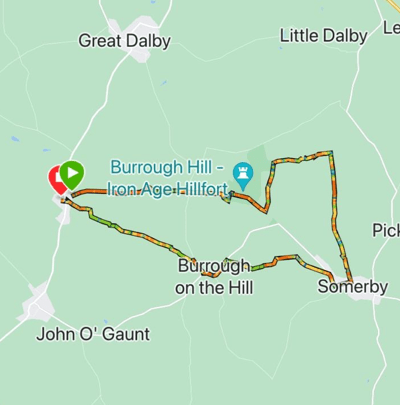
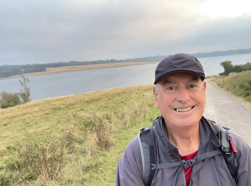
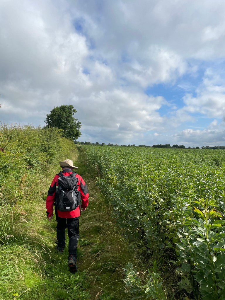
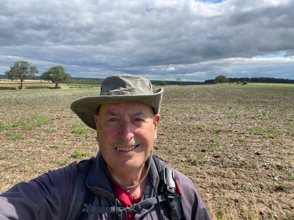
This morning myself and Mick walked leg 5 of our Leicestershire Round Expedition. We parked the cars in Somerby and Belton-in-Rutland and completed the 9-mile leg.

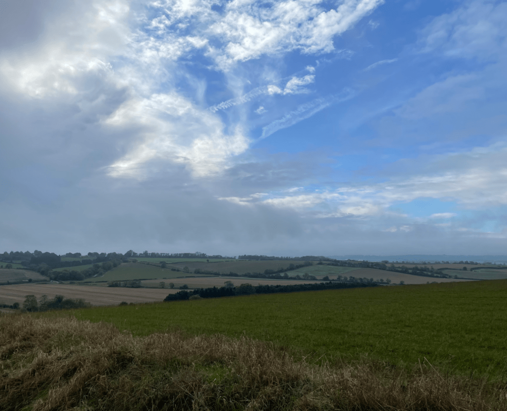
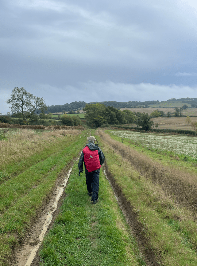
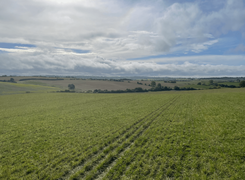
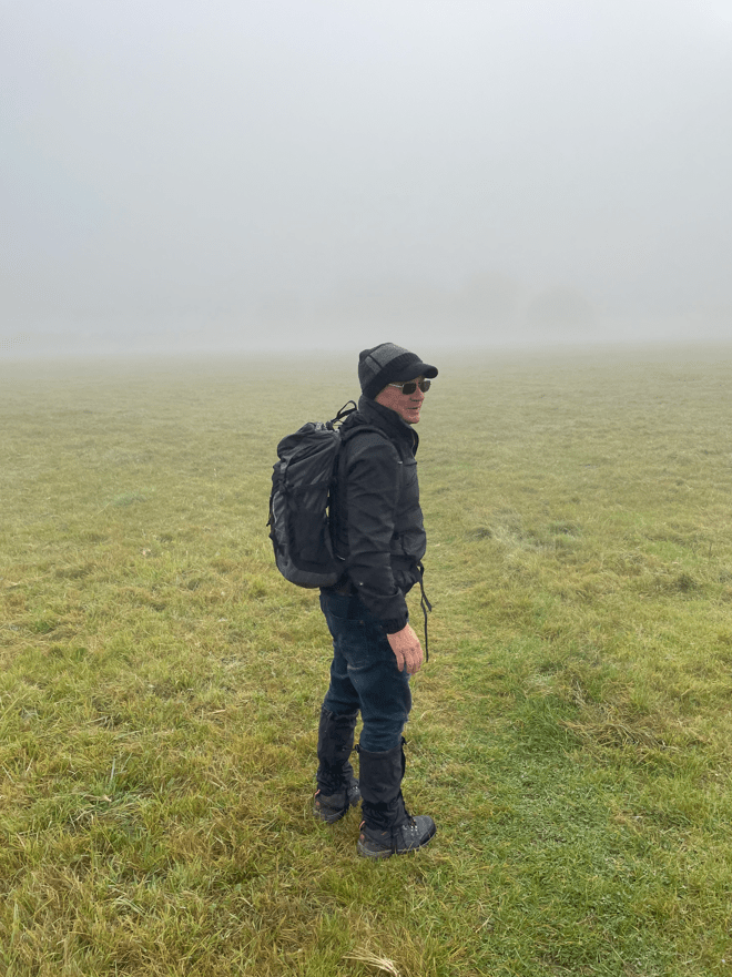
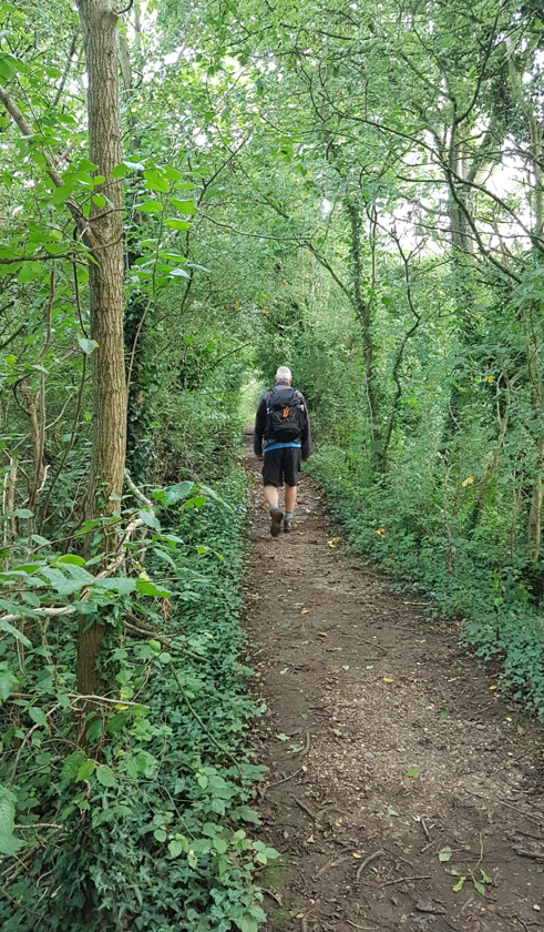
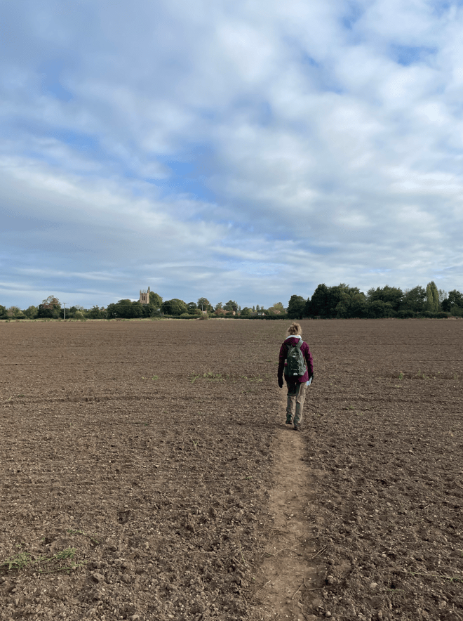
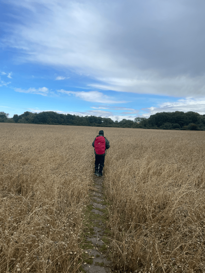
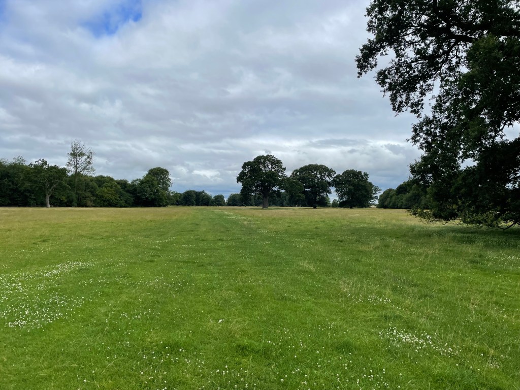
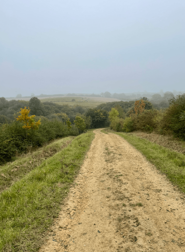
It was a very misty day as we began our walk in Somerby. We walked towards the hamlet of Owston. This walk would be mainly across fields so we had prepared by wearing waterproof socks and gaiters.
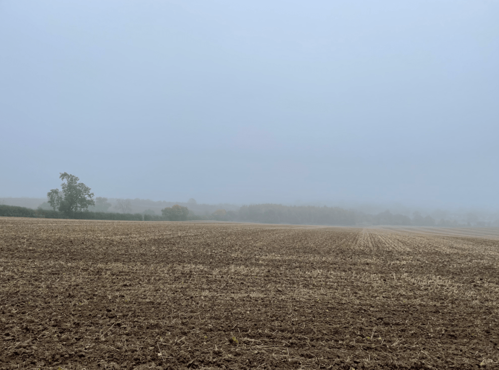
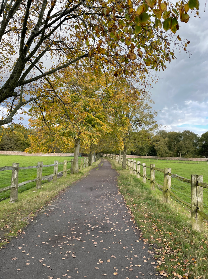
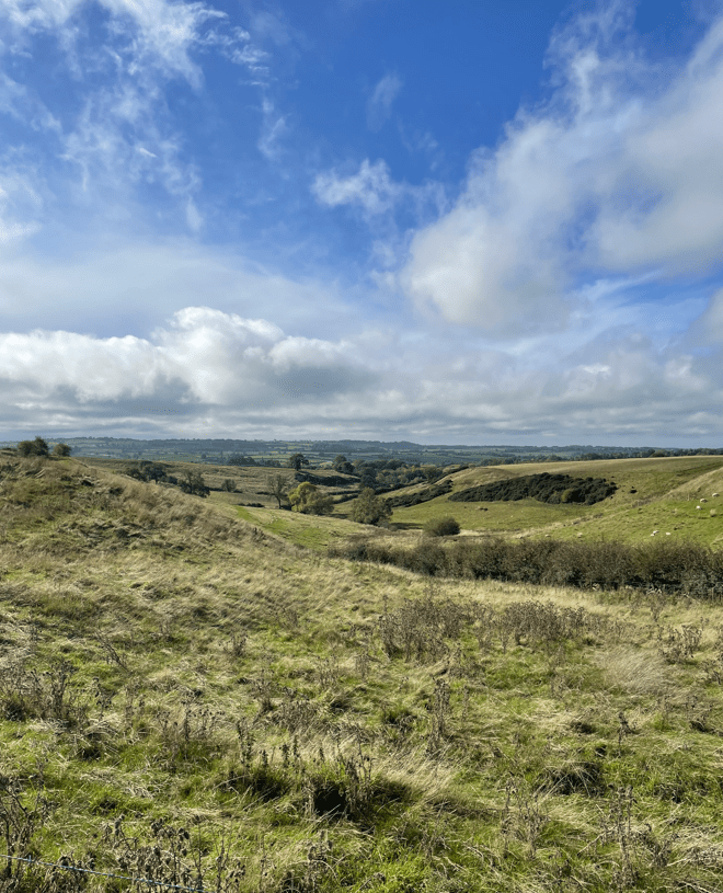
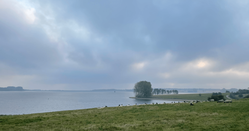
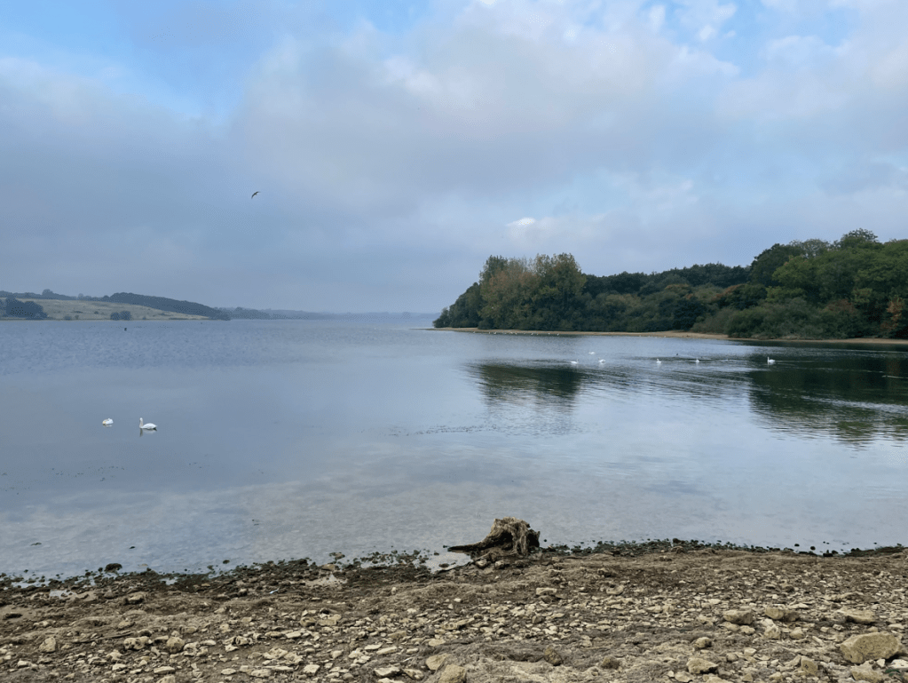
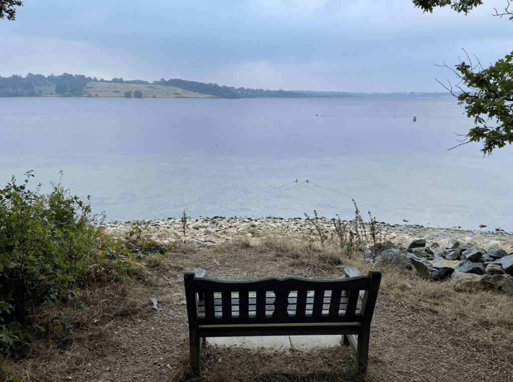
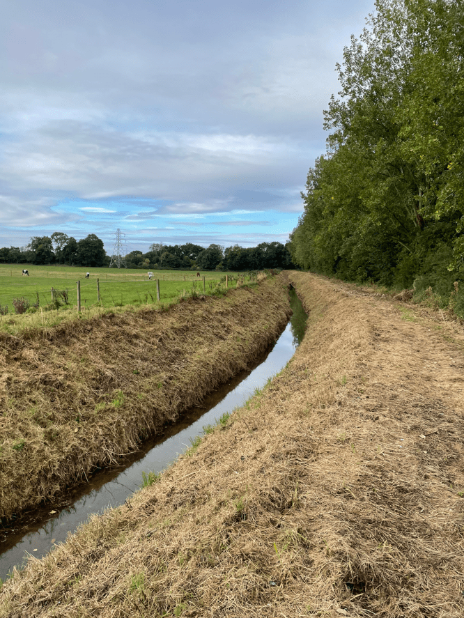
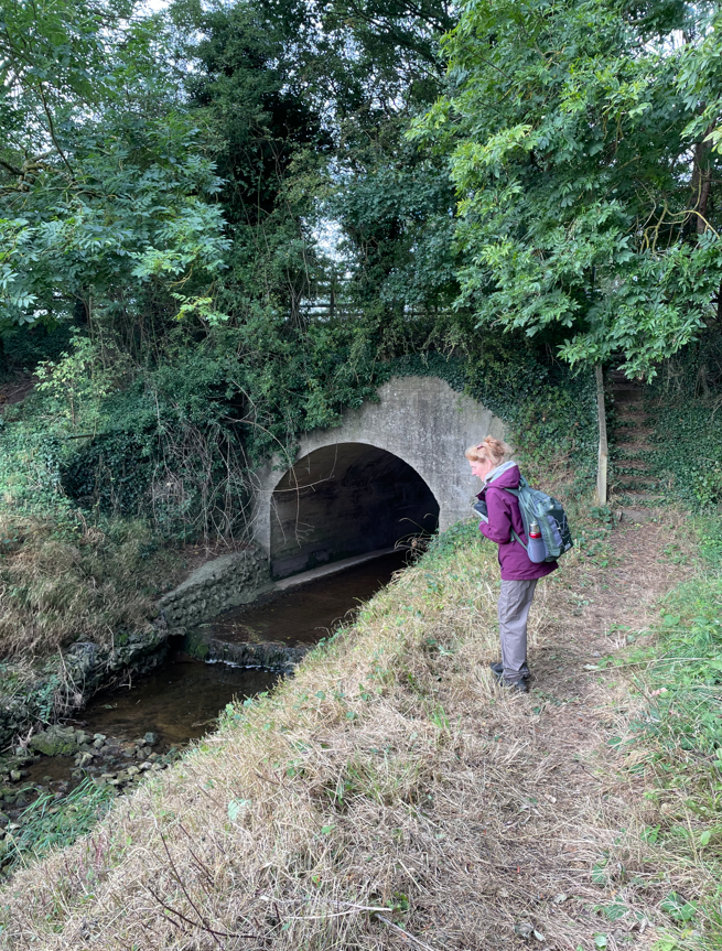
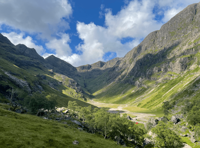
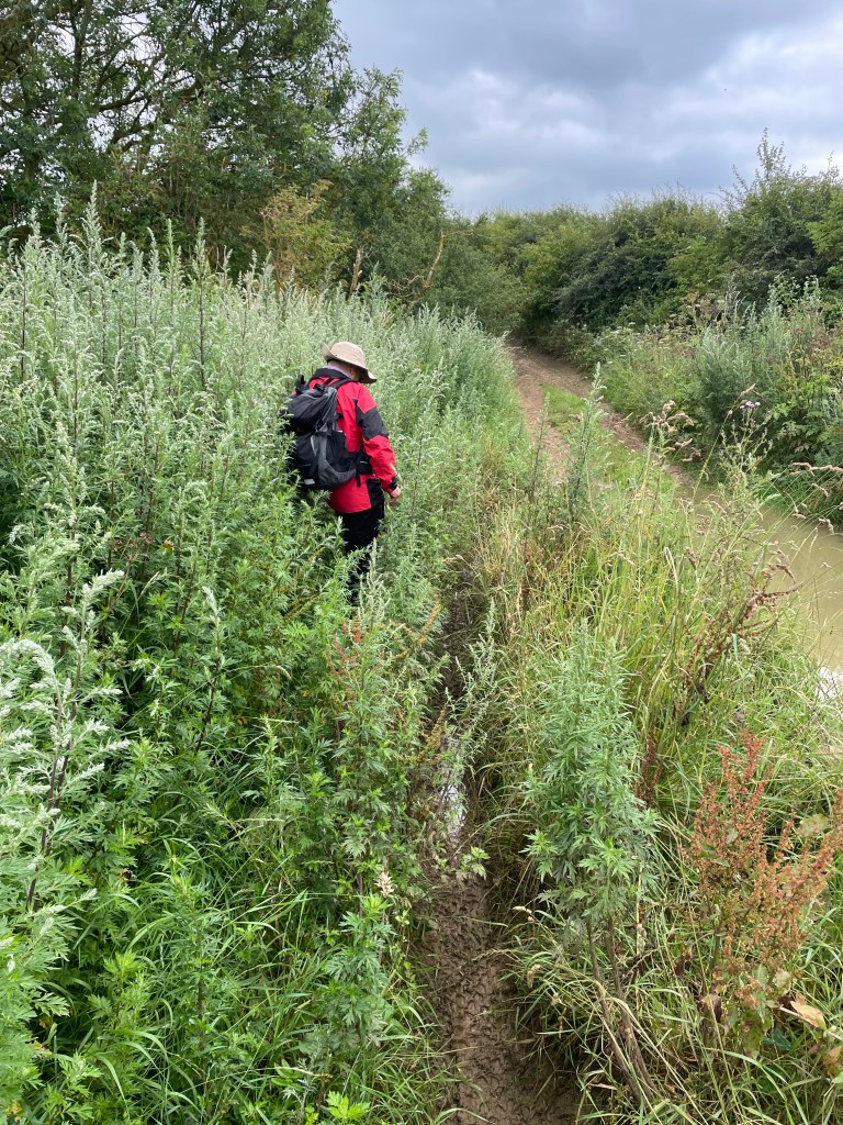
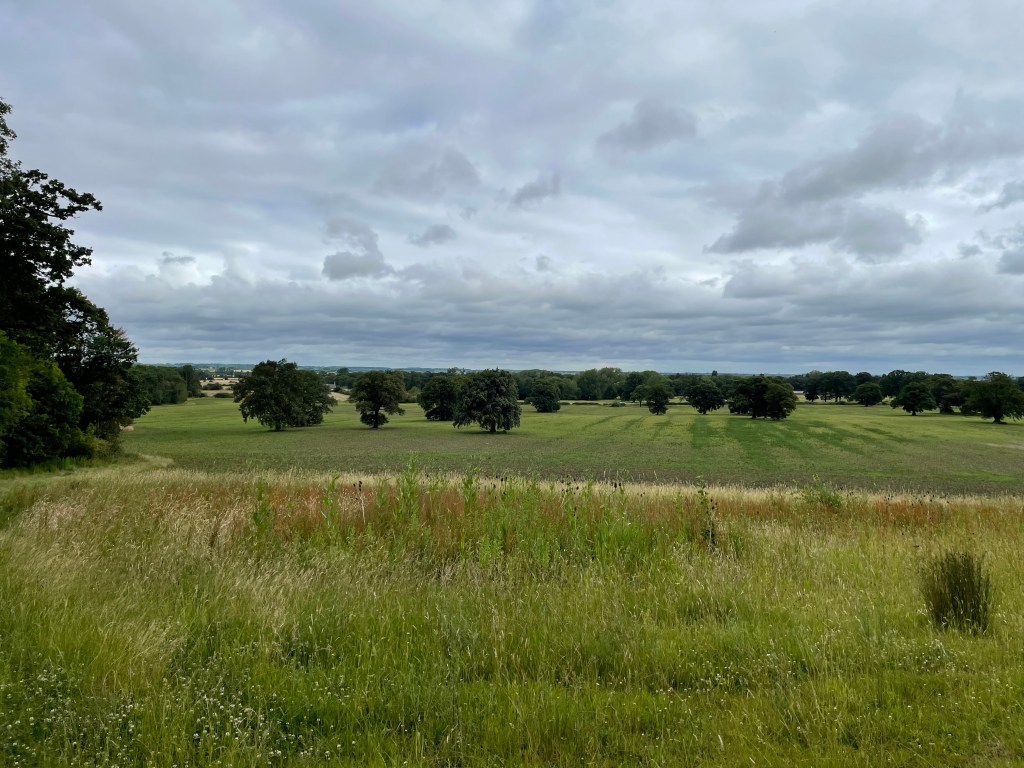
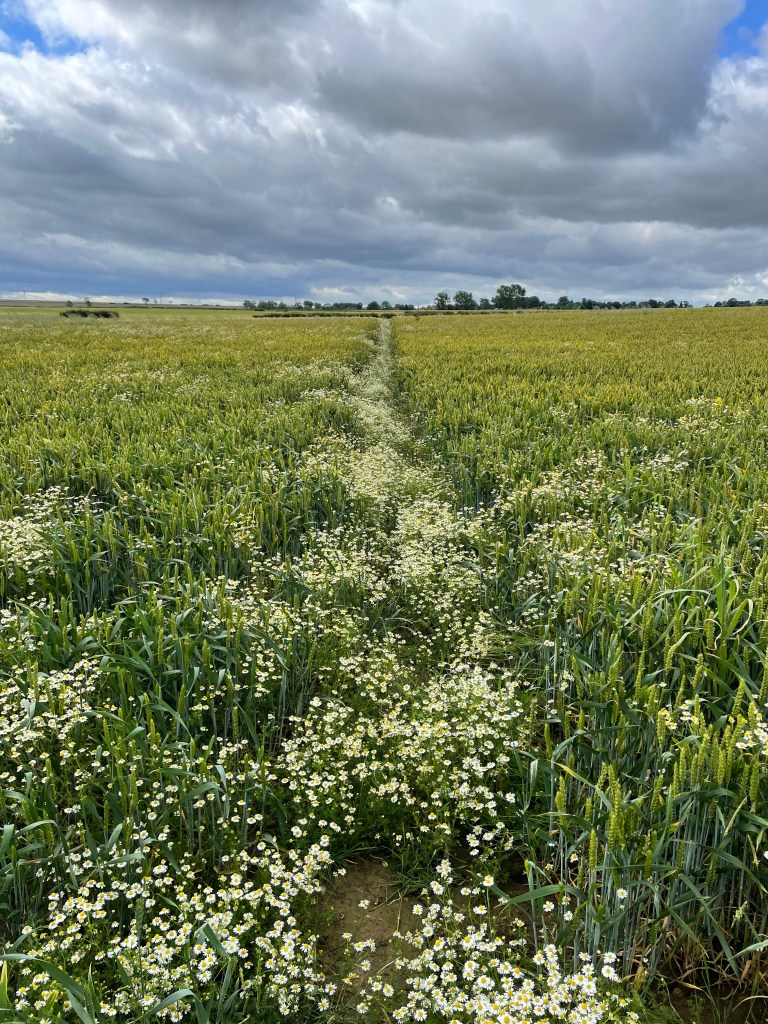
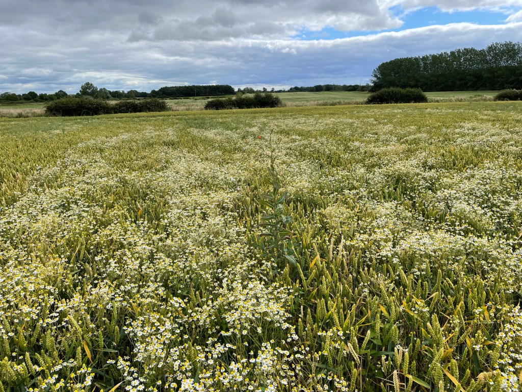
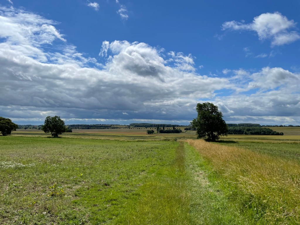
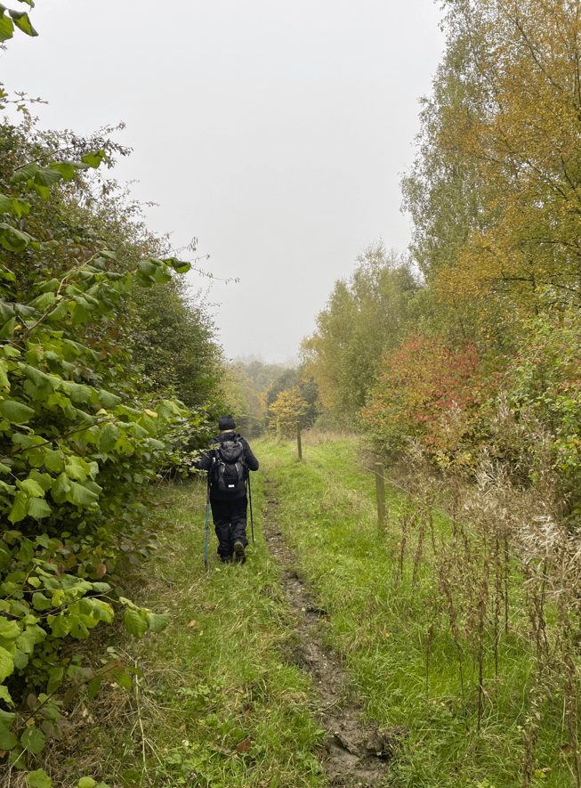
It was a shame about the weather because the mist did not allow us to appreciate the countryside we were walking through. It also meant that photos for my blog are limited! We found the paths slippery, boggy and we made good use of the walking poles.
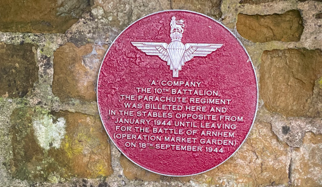
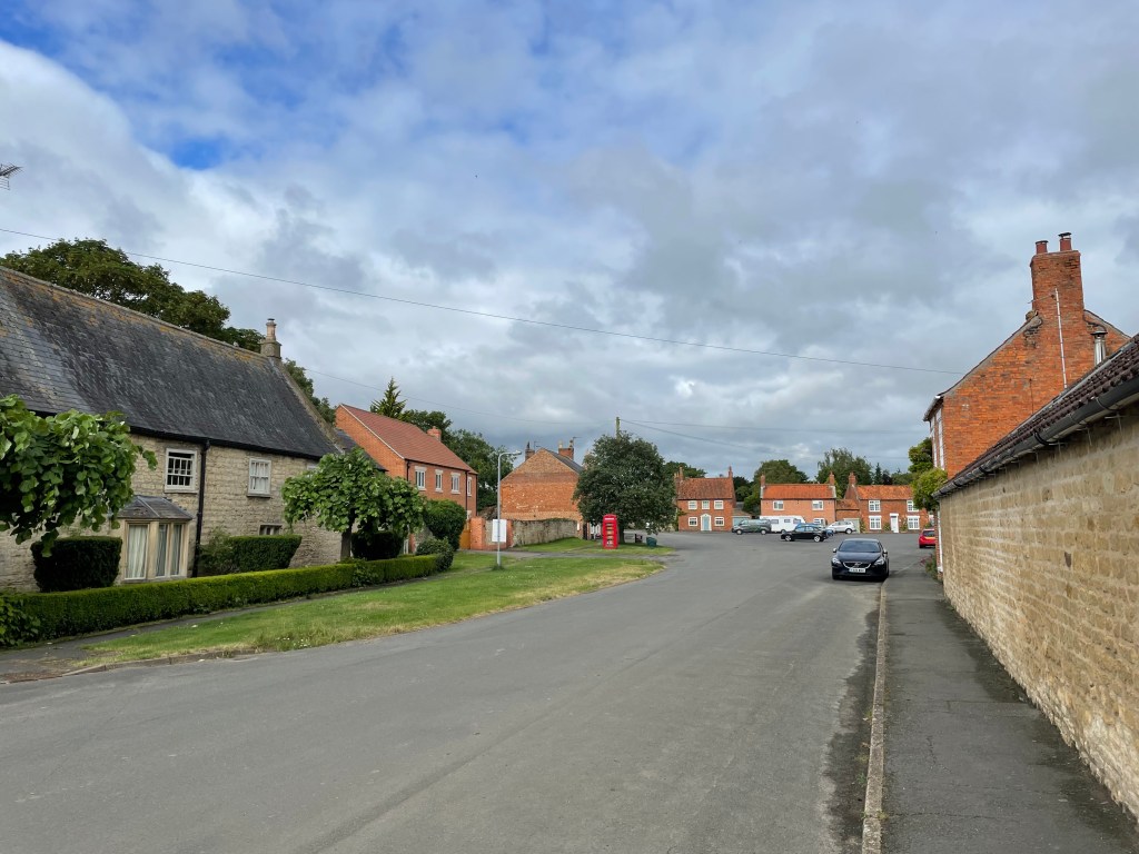
Walking through Owston we spotted a maroon heritage wall plaque similar to one we had seen last week in Somerby.
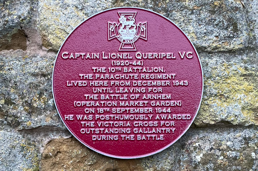
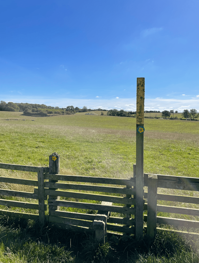
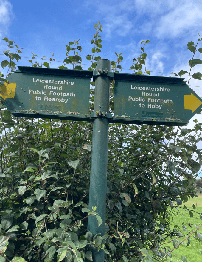
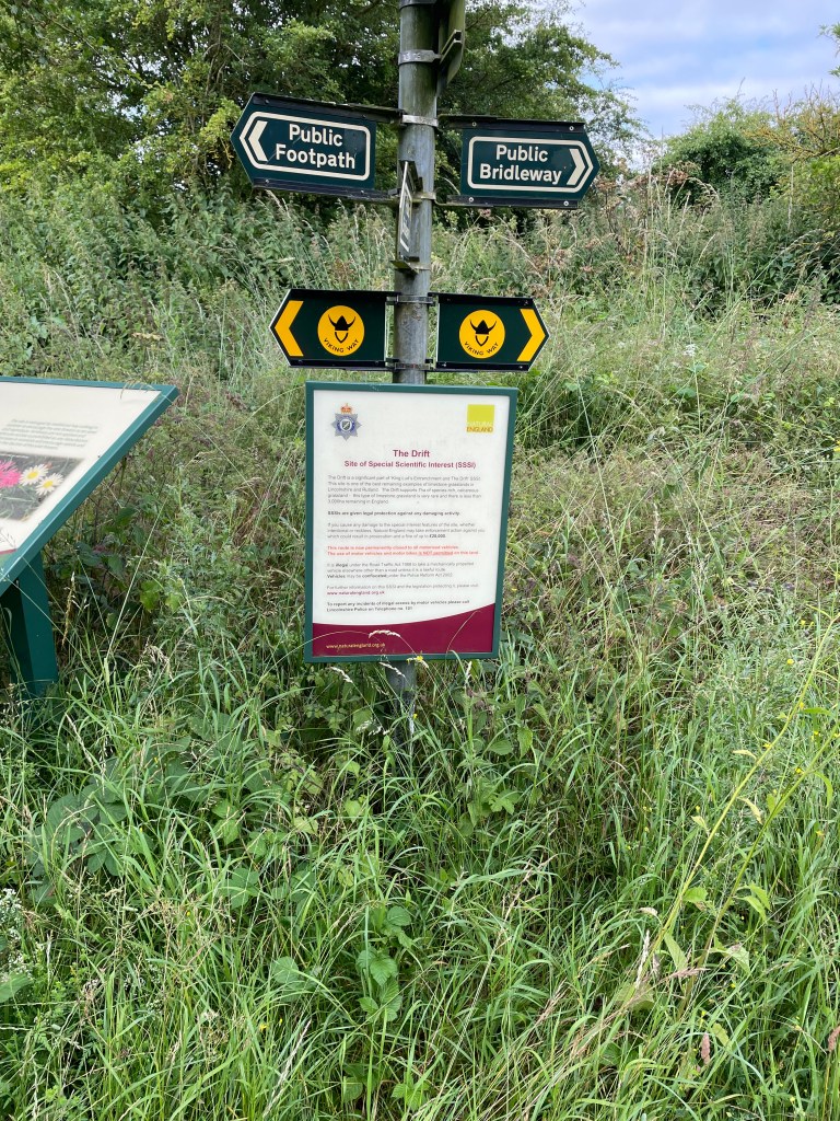
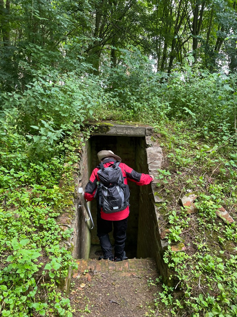
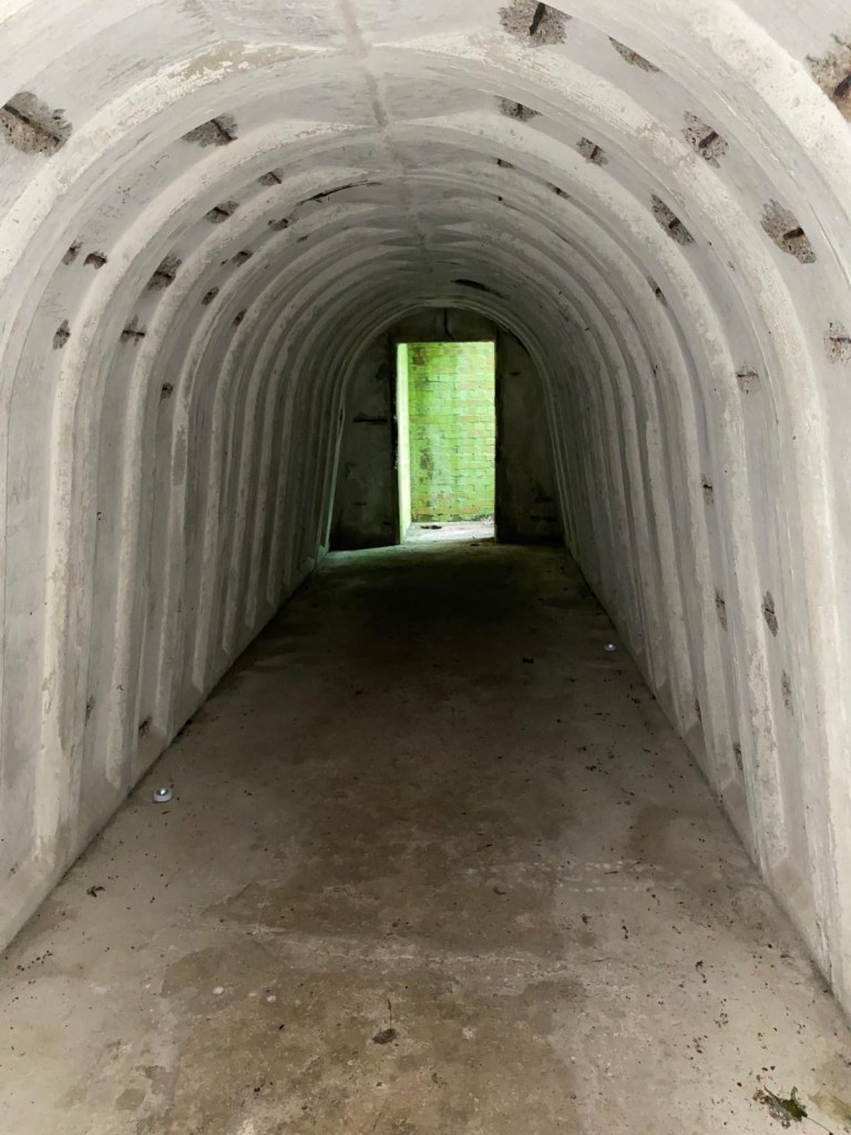
Mick had seen some walking signs saying ‘Battalion Way’ as we were walking. The 15- mile trail takes you to various places relating to the 10th Battalion, the Parachute Regiment, during the nine months the Battalion spent in high Leicestershire from Dec 1943 to Sept 1944 . https://friendsofthetenth.co.uk/the-tenth-battalion-trail/
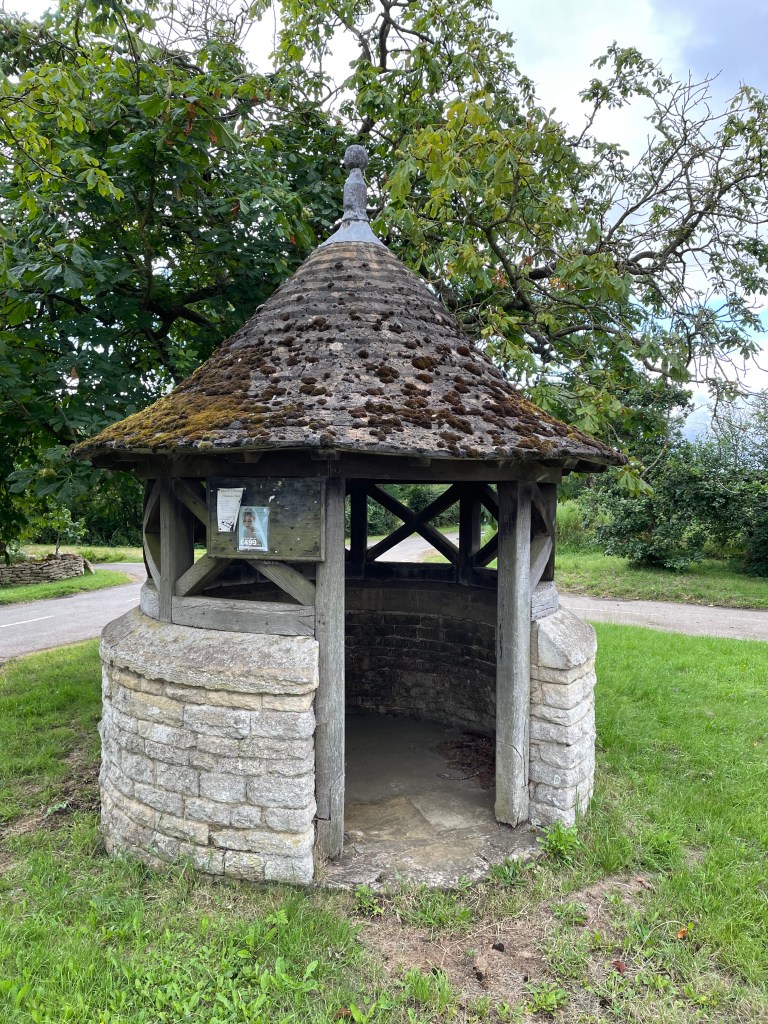
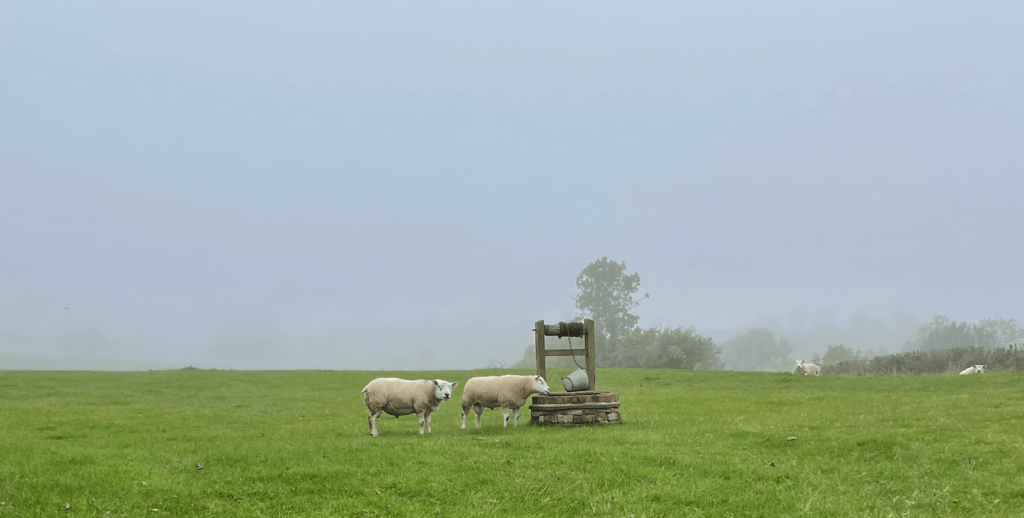
Owston was home to an Augustinian Abbey at one time. Leaving Owston we headed up a road and Mick spotted a water well with a couple of sheep looking like they might use it.
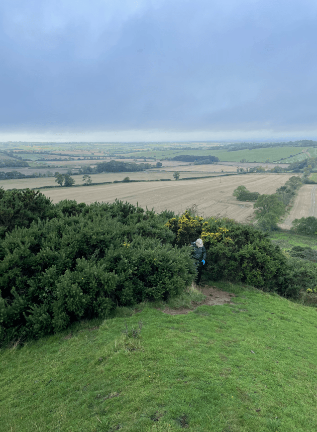
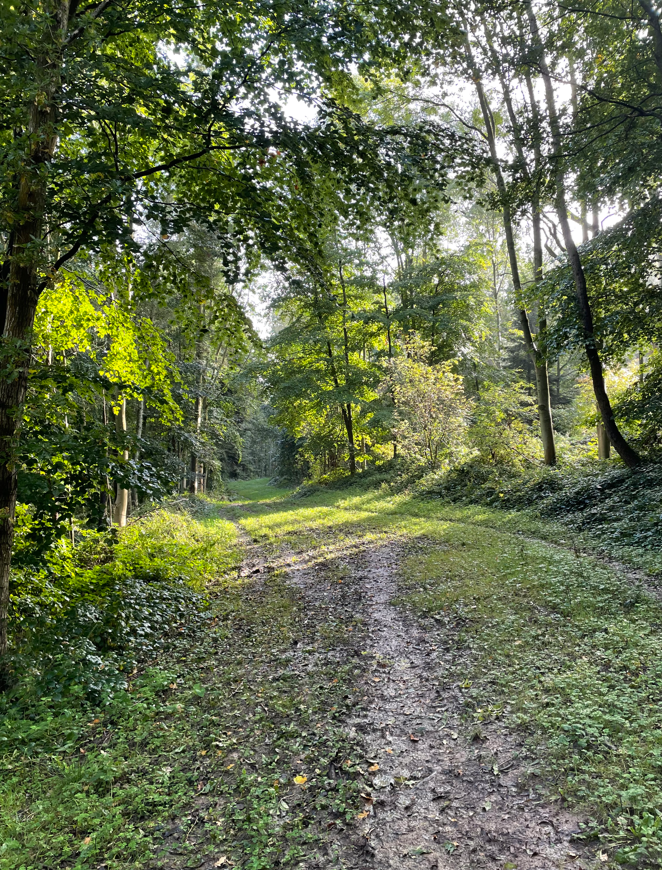
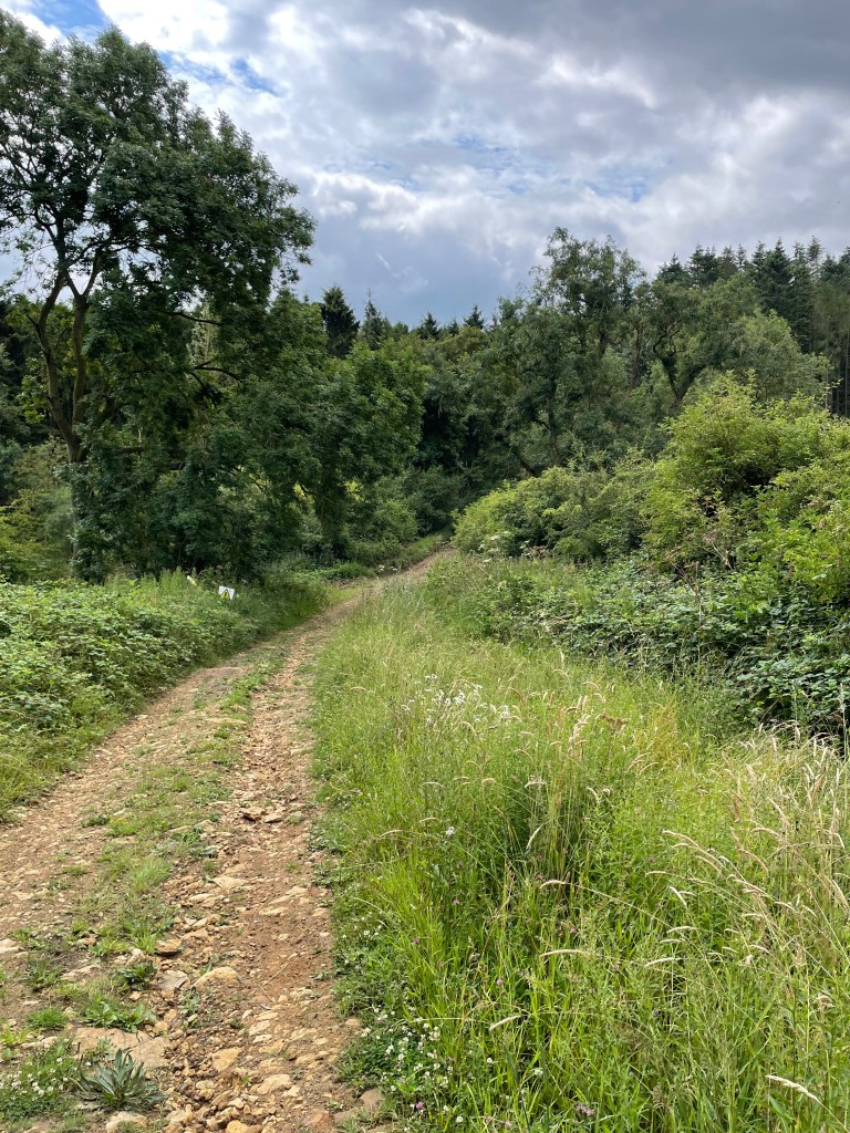
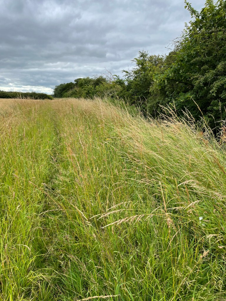
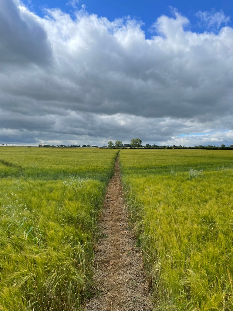
Owston Woods was next – what a nightmare! The path through was extremely boggy- made worse by the fact that horse riders also use the path. We were so glad to get through this section. Our guide book did pre-warn us that it can be muddy, however, reality was grim. Reaching the end of the woods – it was all uphill – the path emerged onto a avenue of Chestnut trees. We stopped for a cuppa and a bite to eat. Our guidebook describes the path through the woods as ‘very wearisome’ – we both agreed!
Owston Woods is the largest area of ancient woodland in Leicestershire and has been a Site of Special Scientific Interest since 1956.
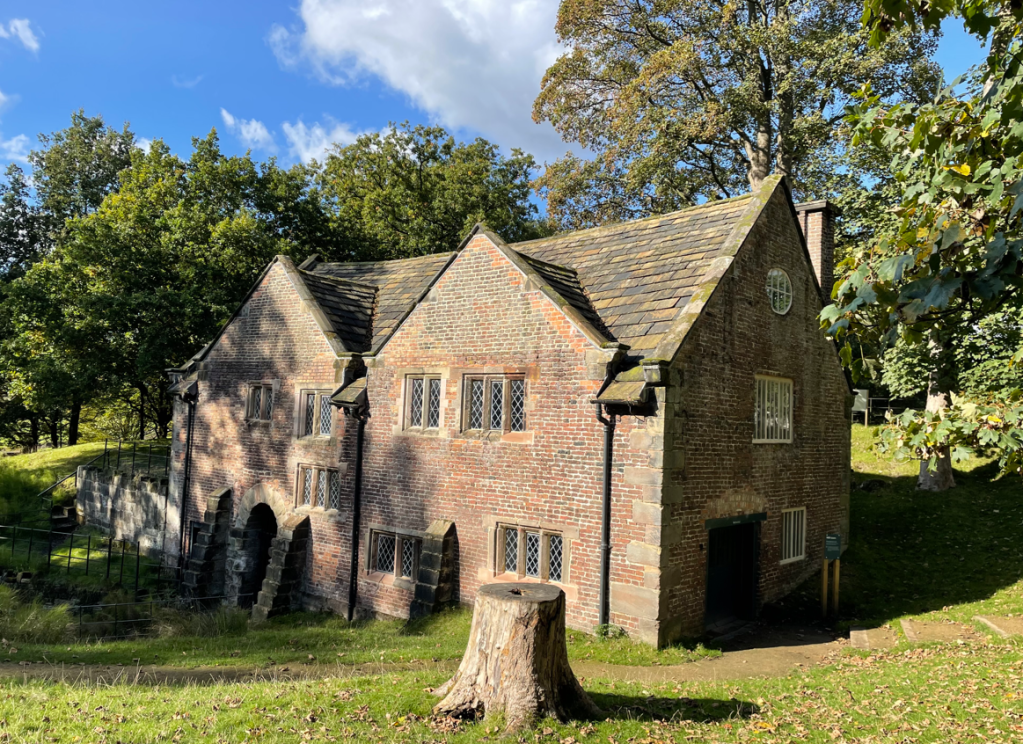
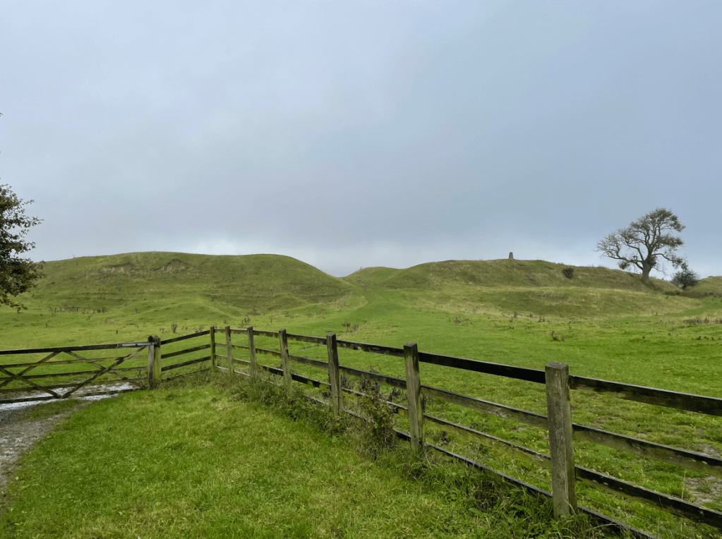
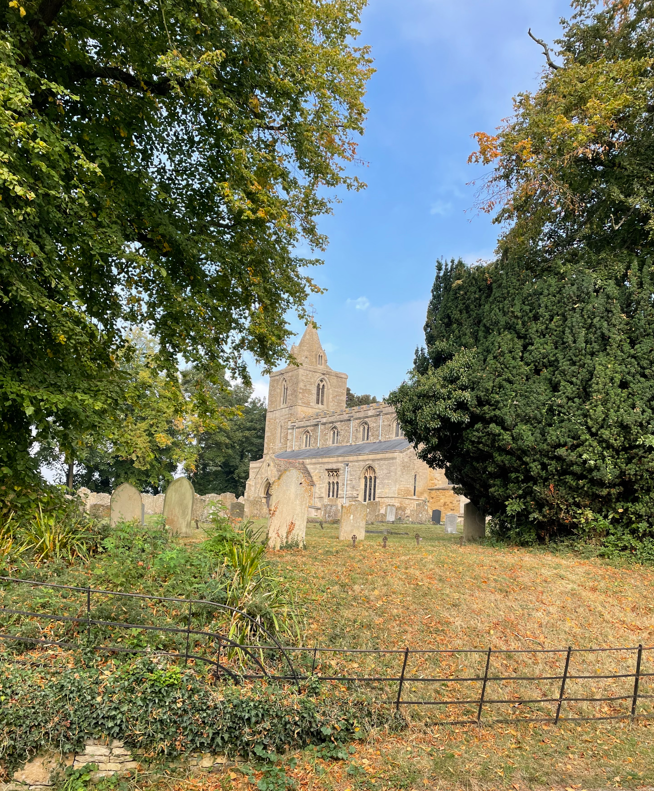
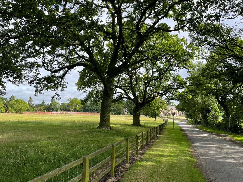
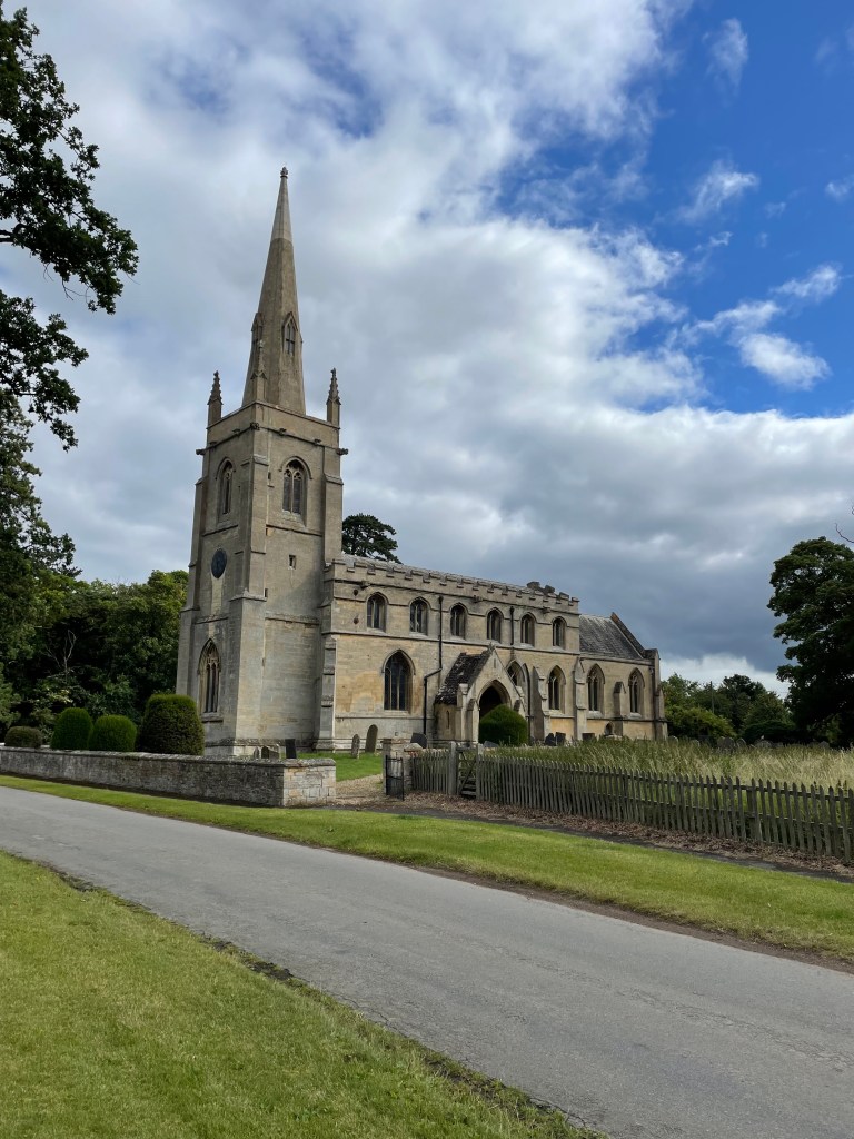
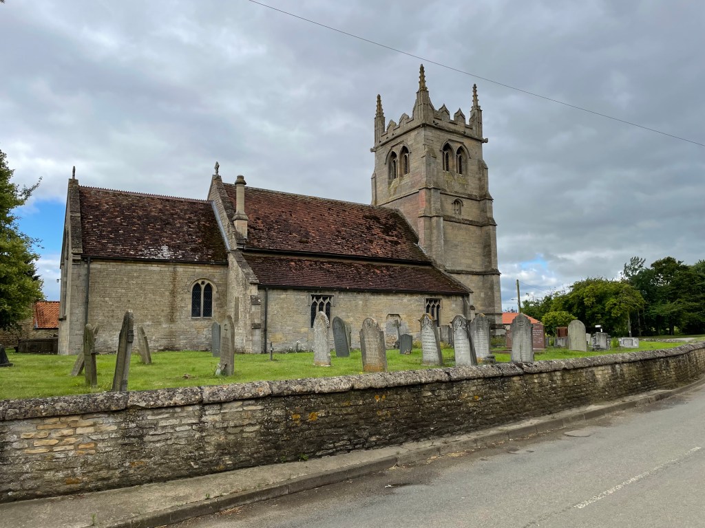
It wasn’t too long after leaving the woods that we arrived at Launde Abbey in the mist.
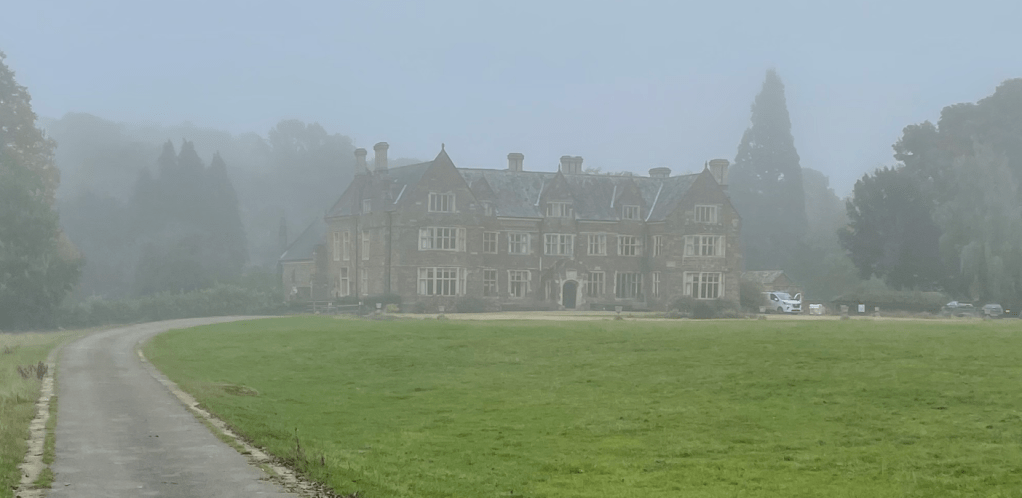
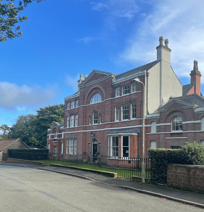
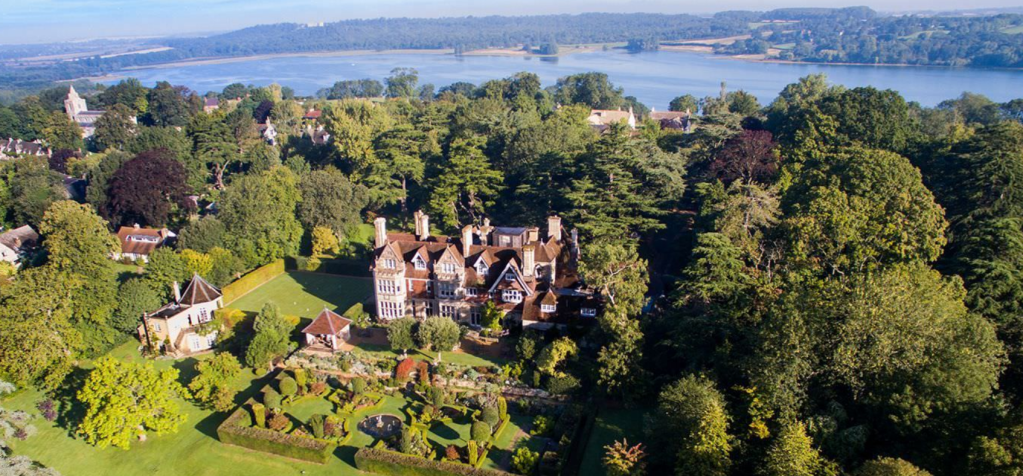
This Tudor house was built for Thomas Cromwell who owned it for three years before his execution in 1540. It is now a retreat for the Leicester and Peterborough dioceses of the Church of England.

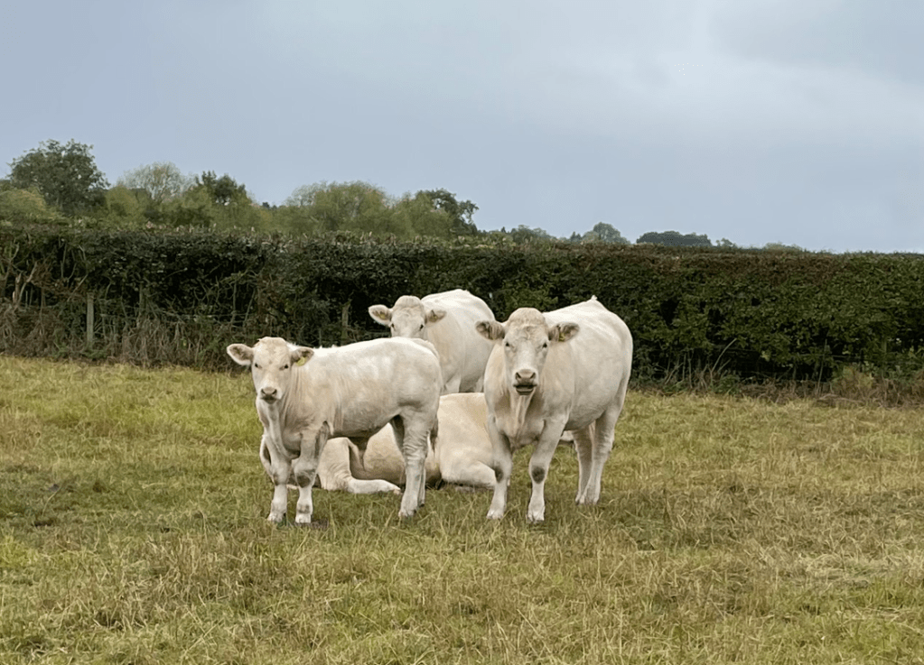
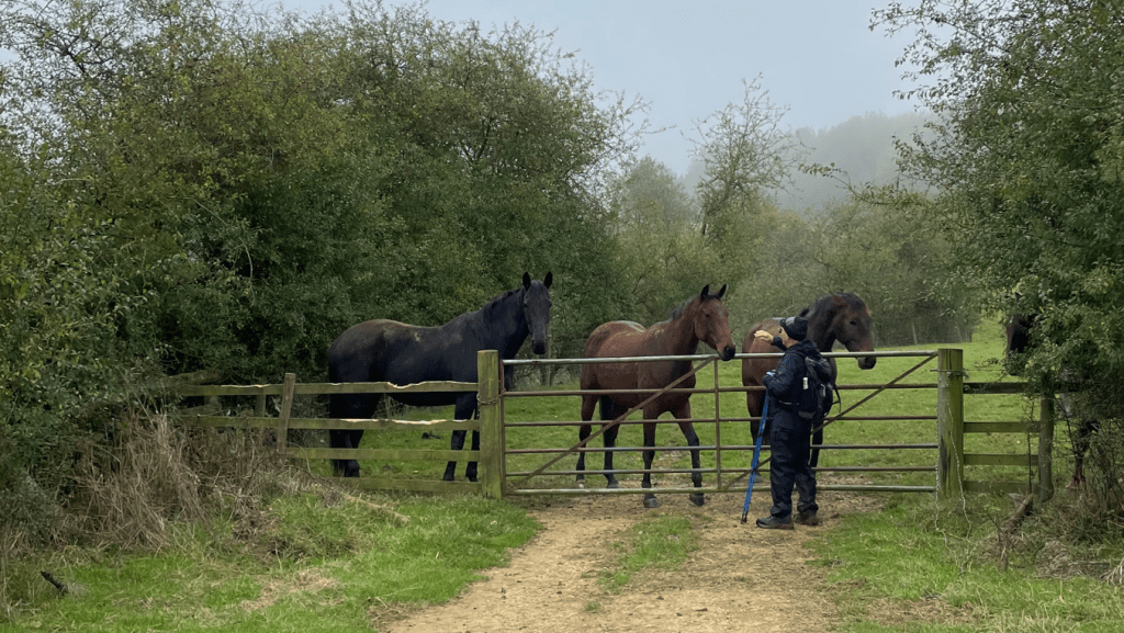
Our paths took us across fields of cows – they were well behaved. Mick said ‘Hello’ to some friendly horses.
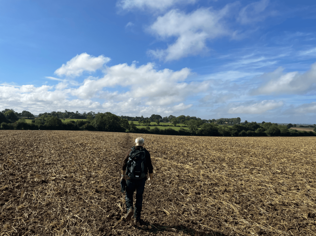
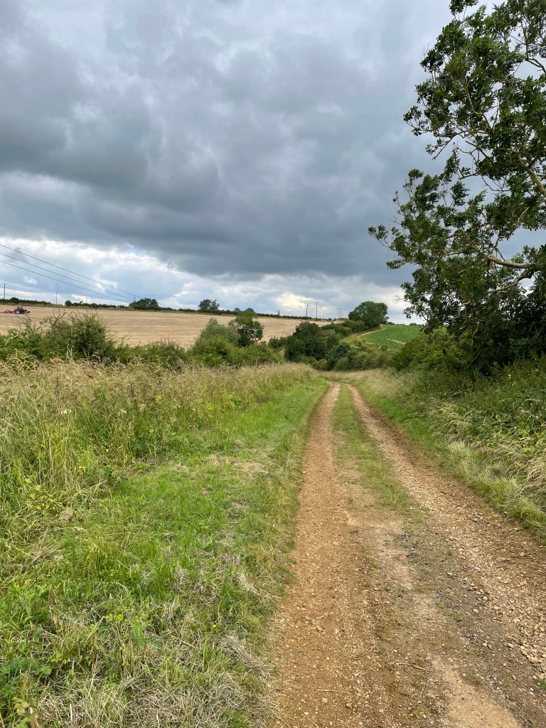
The footpaths turned into wider tracks and we were glad to find drier conditions under foot.
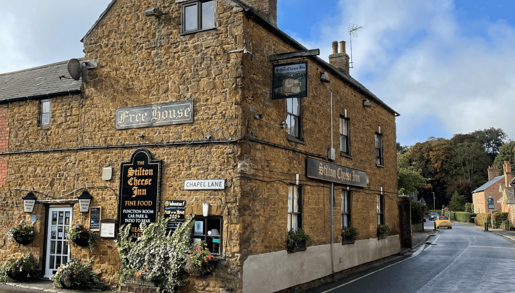
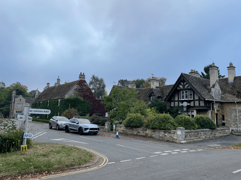
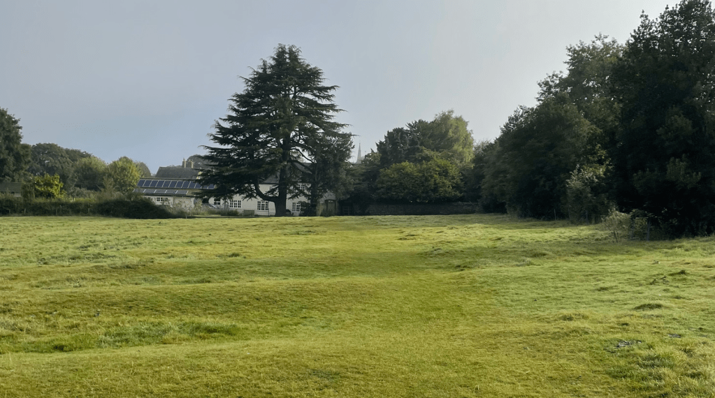
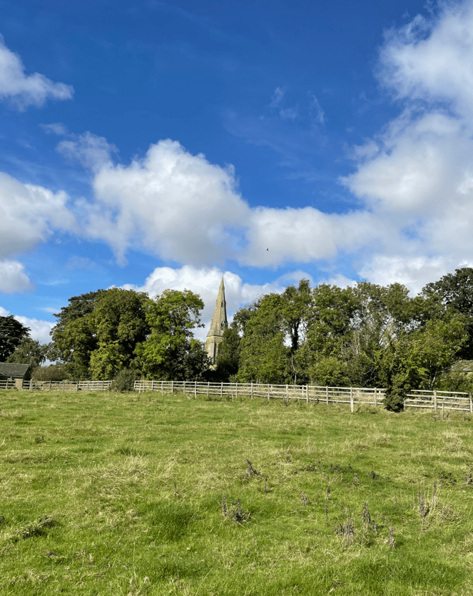
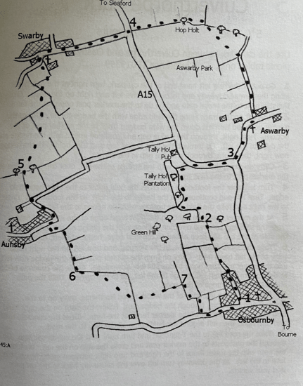
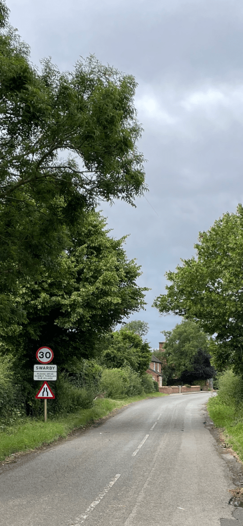
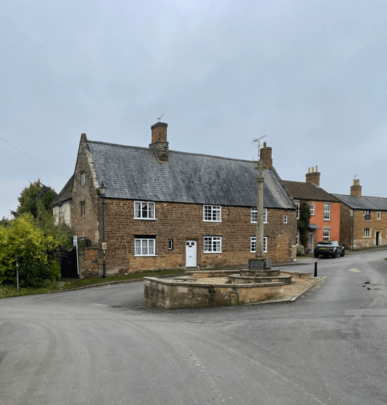
Soon we were arriving into Belton-in Rutland- its almost like the village that time forgot.
This was the end of todays walk. We have now completed 37-miles (Bradgate Park to Belton- in-Rutland) out of the100 mile Leicestershire Round total. Our journey continues ……………….

Happy Walking! 😊🚶♂️