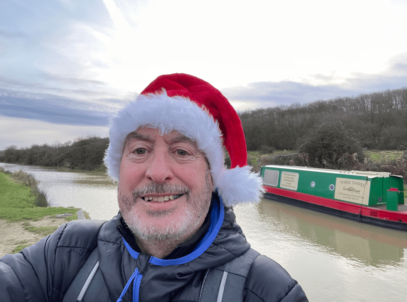
Hello and welcome back to my blog 😊.
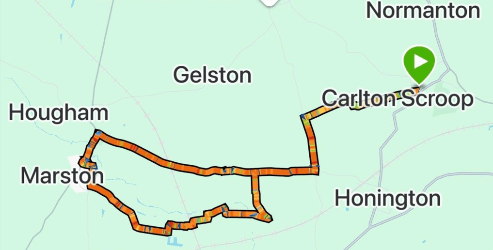
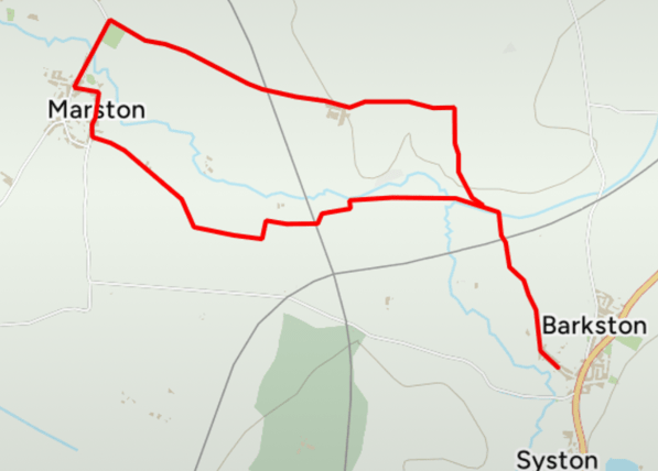
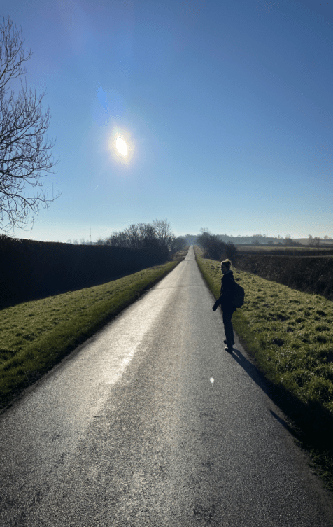
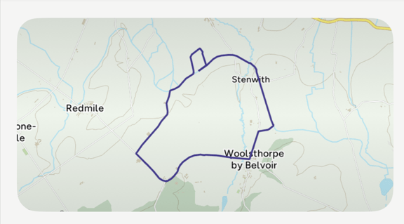
The fine sunny April weather continues (will we pay for this in the summer I ask myself?) so today I decided to do a walk that I have been itching to do for a while now – A 7-mile circular walk from Boston town centre, beside water, along the Maud Foster Drain, the Frith Bank Drain and the River Witham. The last few miles beside the River Witham gave impressive views of Boston Stump – the tallest church tower in the country. Sometimes an itch just needs to be scratched!


Boston was once one of the greatest ports in England with a flourishing trade across the North Sea and Baltic. A slump in the wool trade and the silting up of the Witham caused it to decline in the 16th century. However, agricultural development of the drained Fens and subsequent dredging of the river led to its revival in the 18th and 19th centuries, and it still functions as a port today.
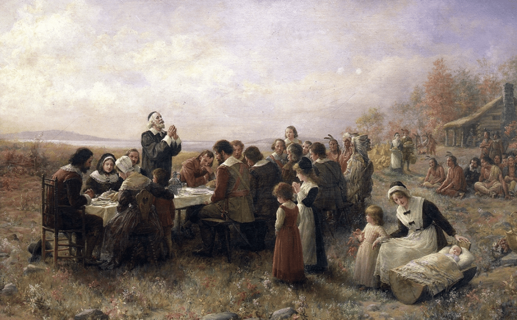
Perhaps Boston is remembered most, as being home for the Mayflower Pilgrims, who sailed across the Atlantic in 1620, landing in New England and founding a new colony in Plymouth, Massachusetts. https://en.wikipedia.org/wiki/Mayflower

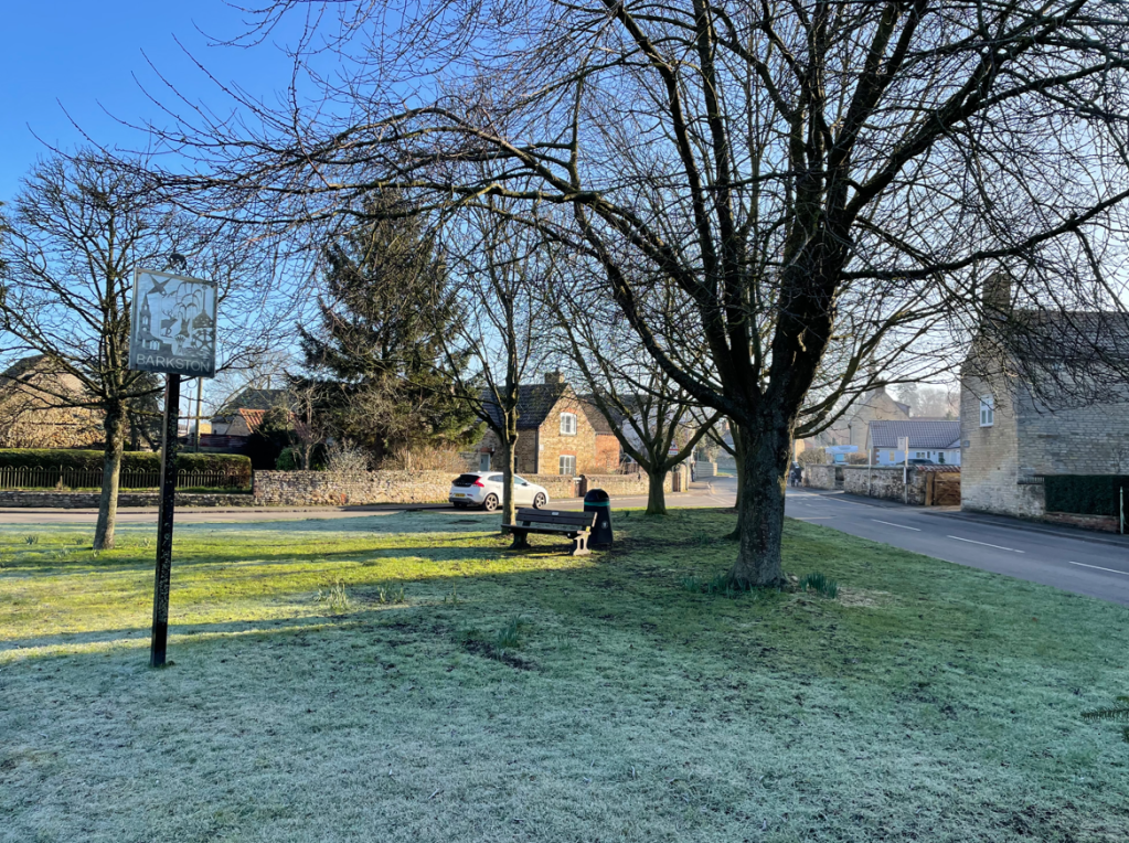
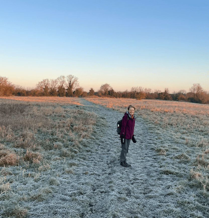
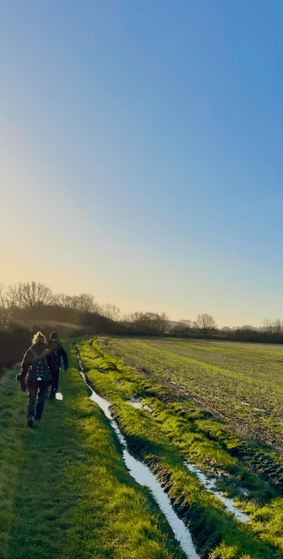
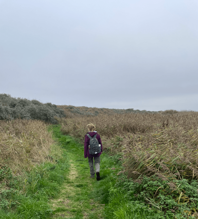
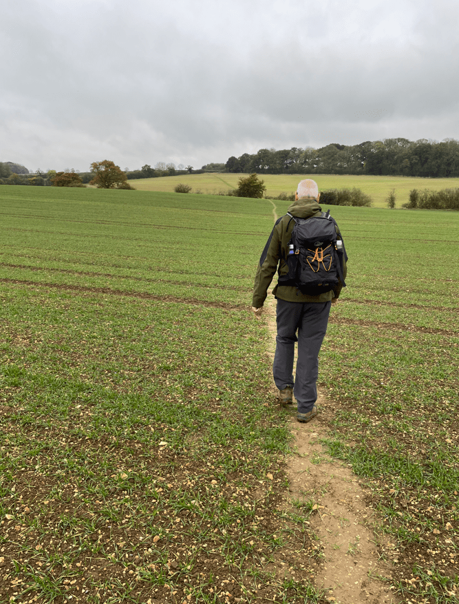
With an early start, myself and Angela avoided the worst of the rush hour traffic and found parking in the former Cattle Market. We set off following the brick lined banks of Maud Foster Drain.
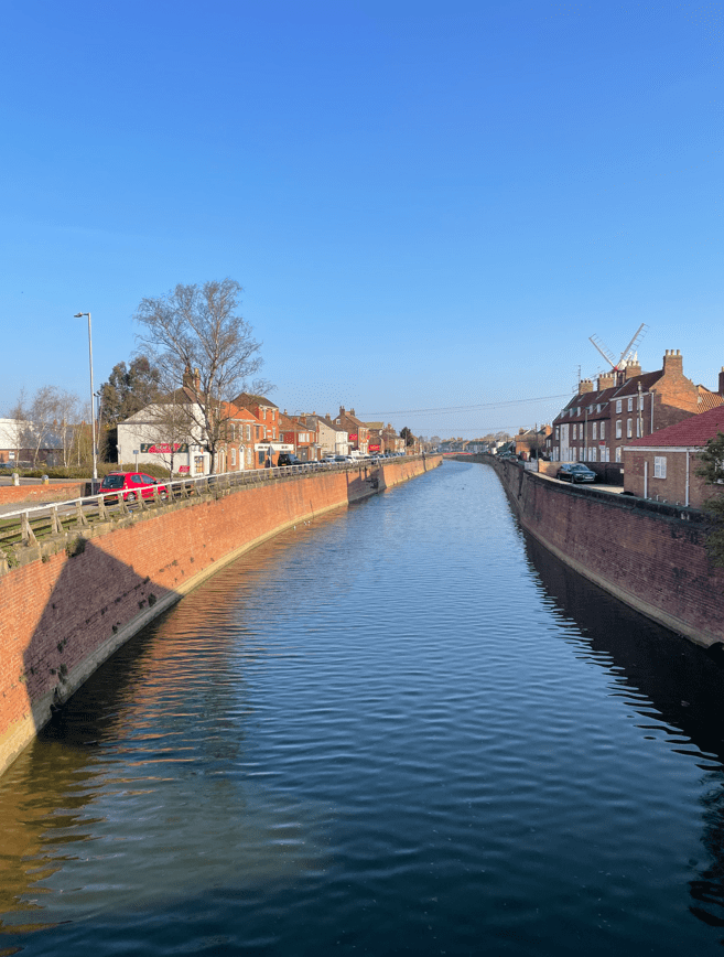
We passed Maud Foster Windmill, built in 1819, and the tallest working windmill in the country. It is unusual in having five sails. They were static the morning we passed by.

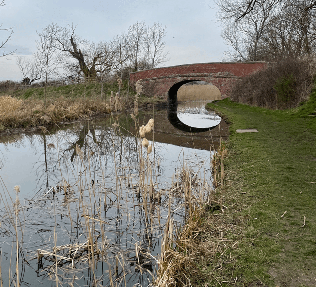
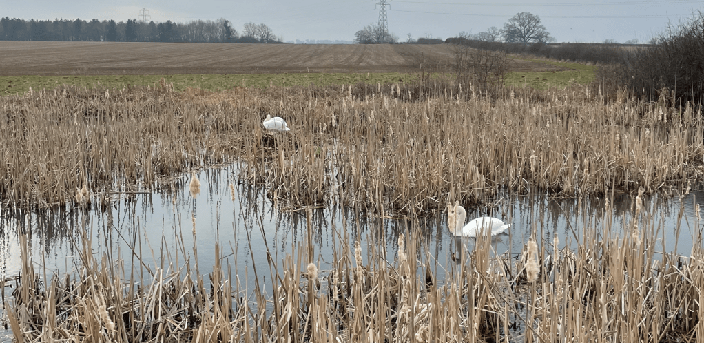
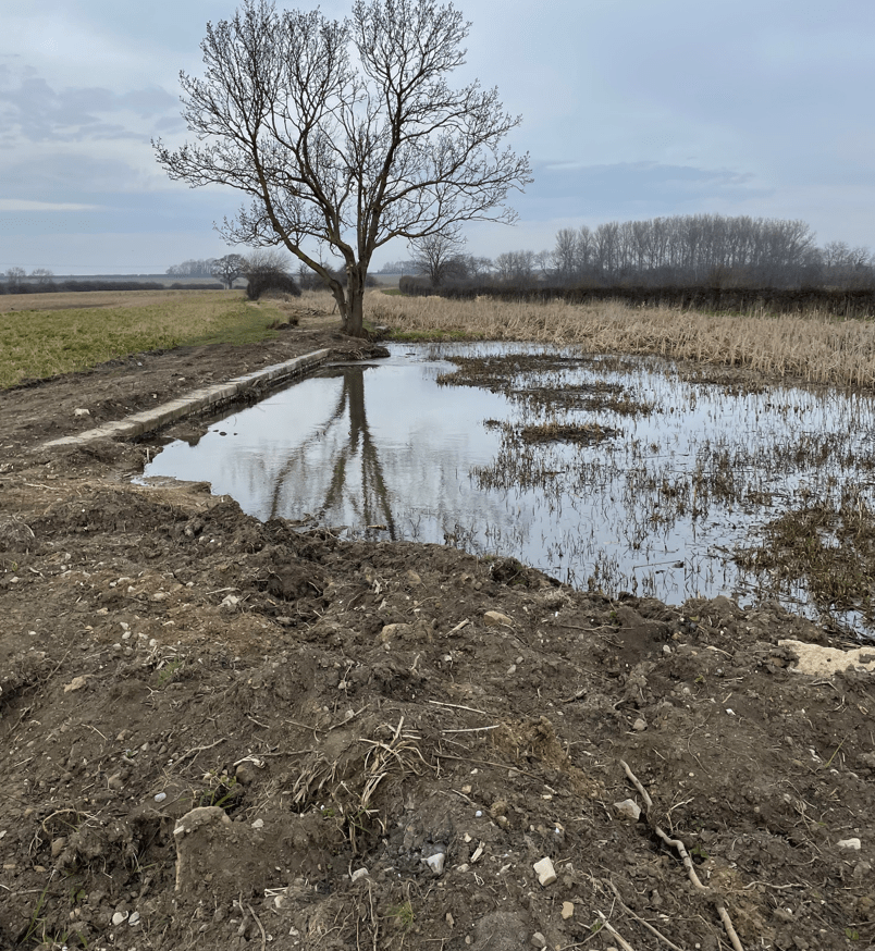
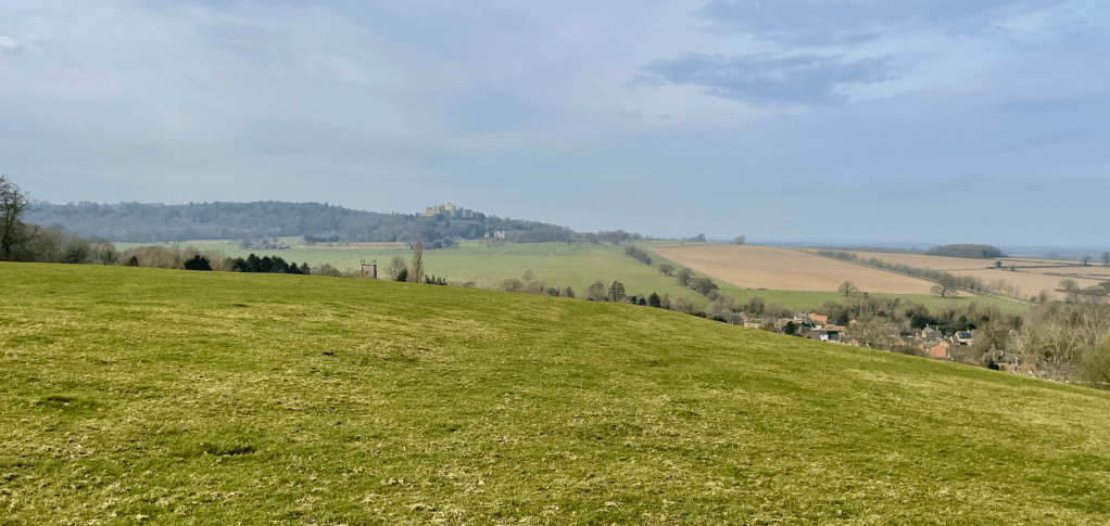
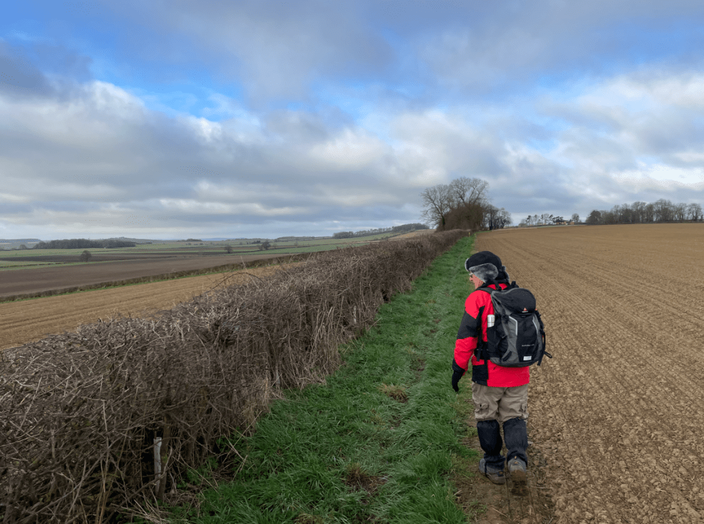
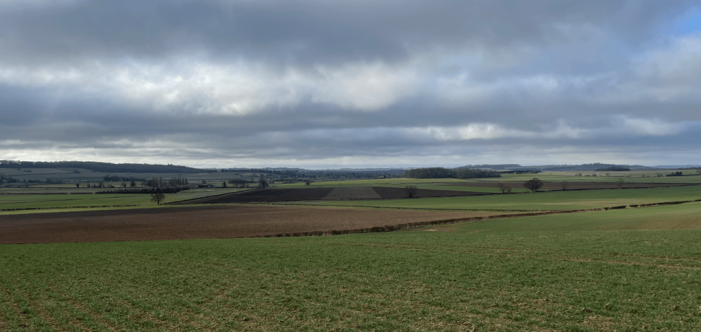
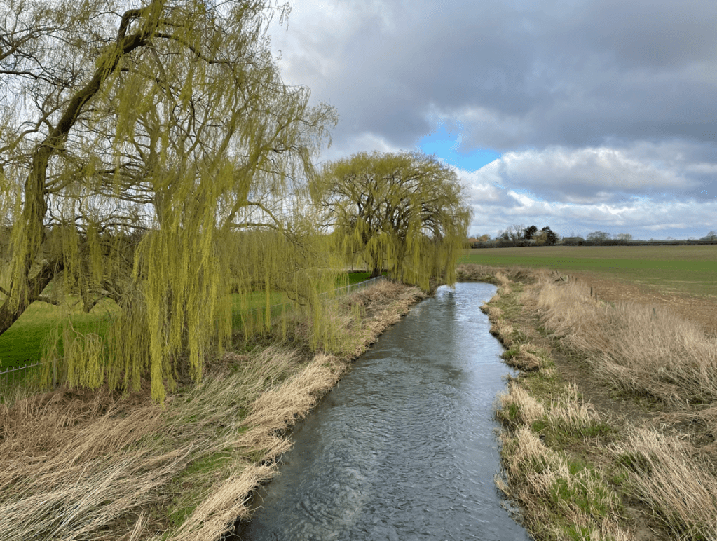
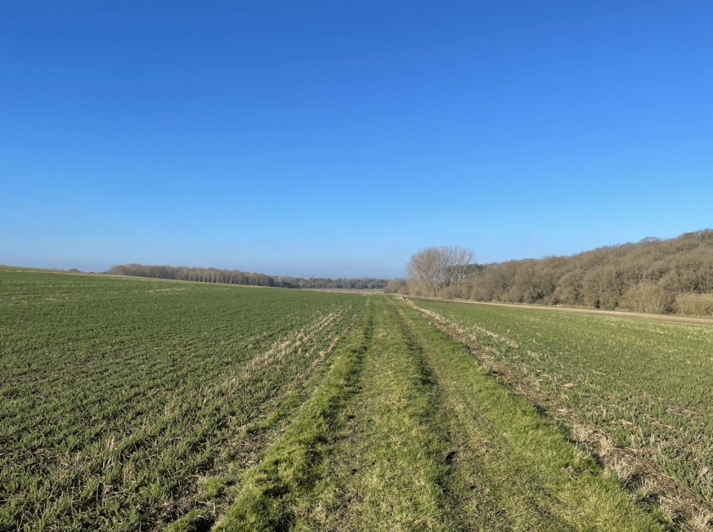
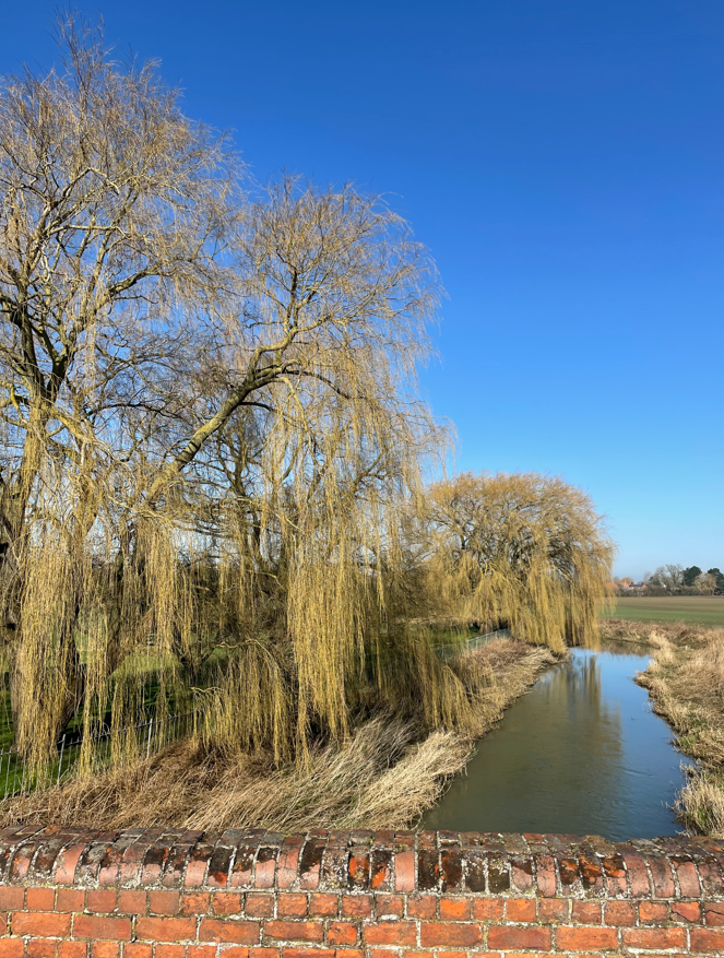
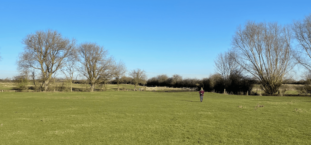
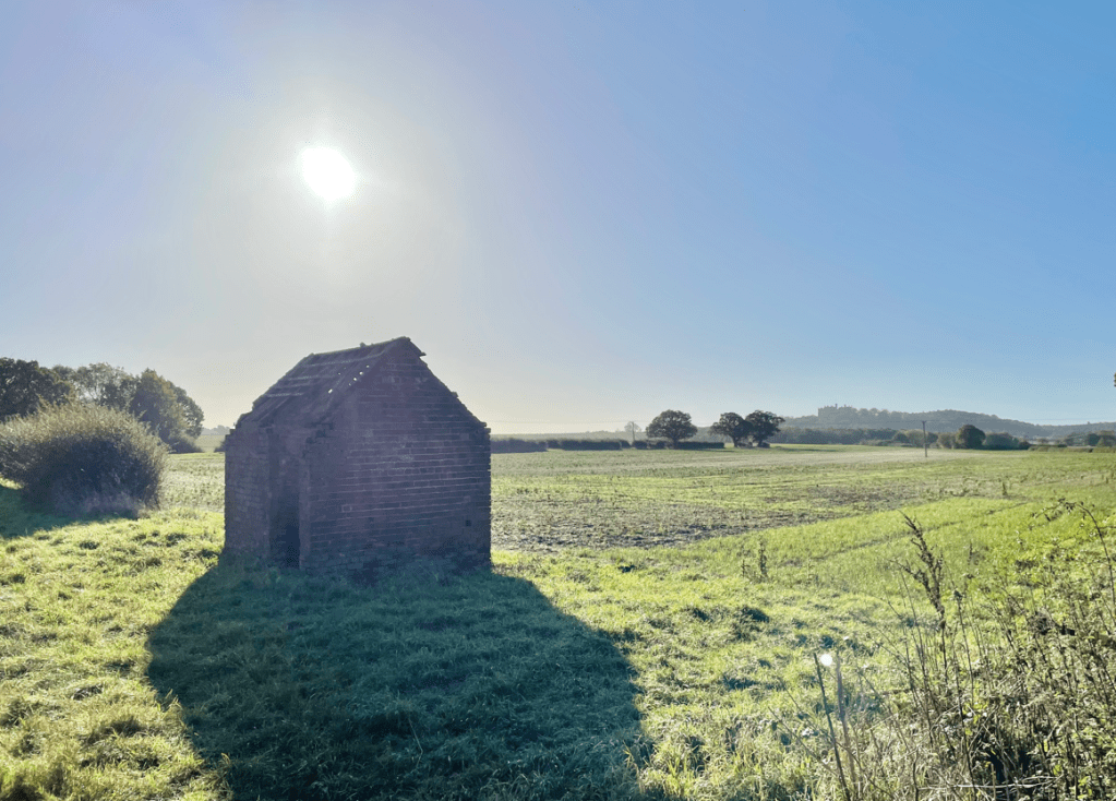
Shortly, the brick-sided banks disappeared and we had a more open vista.

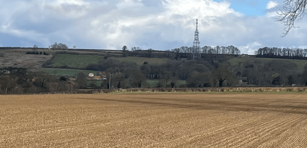
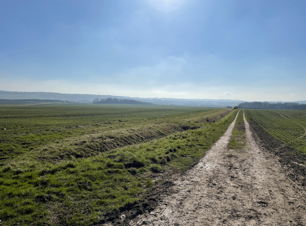
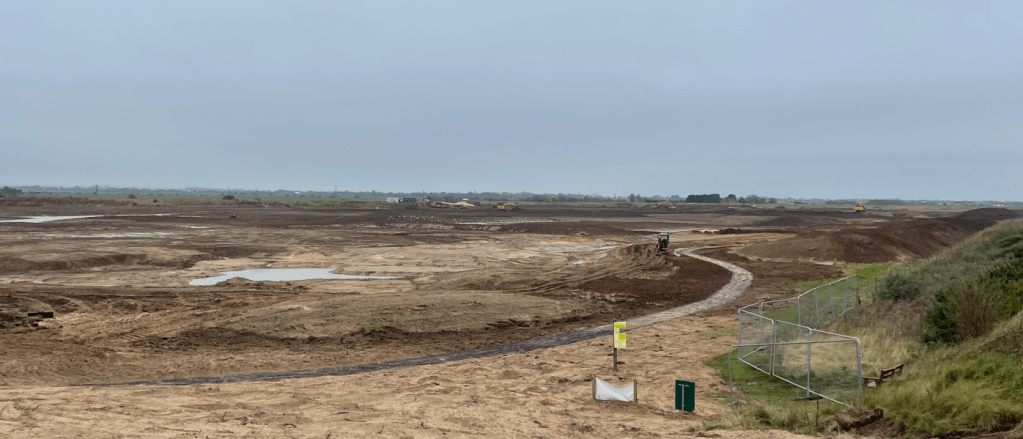
To our right we saw fields covered in fleece to protect the crops from frost. We had seen many fields like this on our drive to Boston.

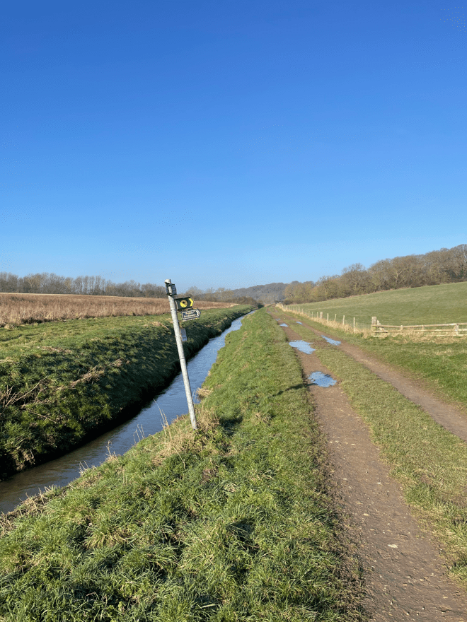
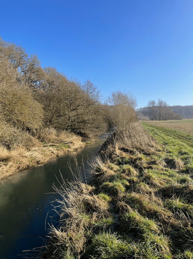
Arriving at Cowbridge, a junction of five drains, we crossed a bridge over Frith Bank Drain and headed along the road beside Frith Bank Drain.


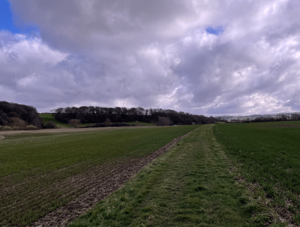
This road turned out to be much busier than we had expected – we thought it was probably due to another road closure in the area. The sun was working its magic and the temperature was rising so top layers were removed.
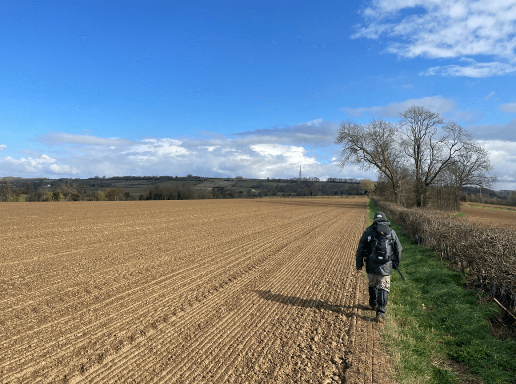
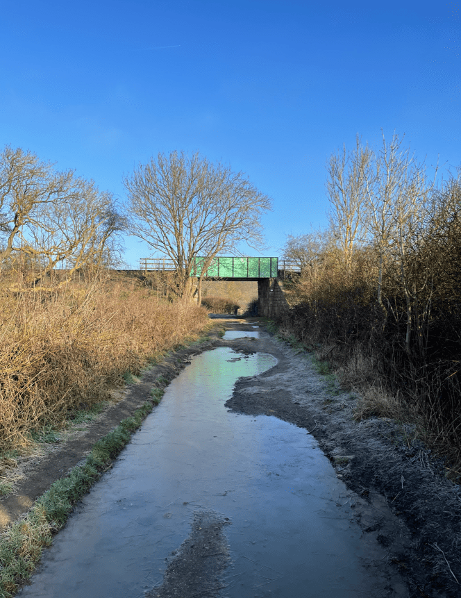
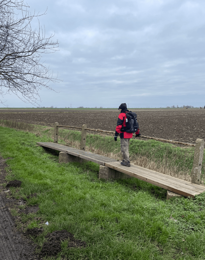
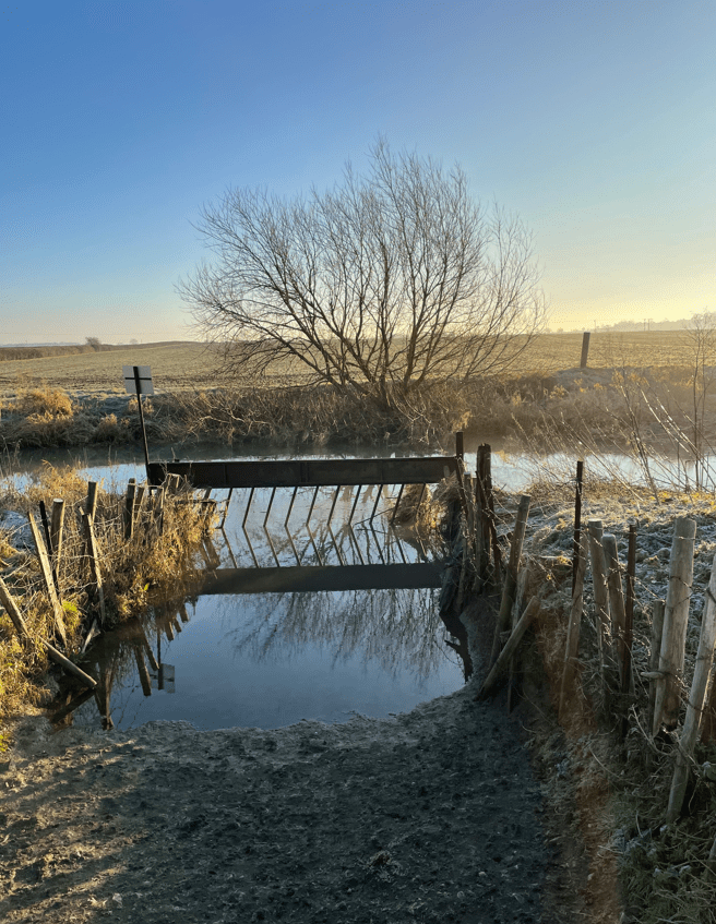
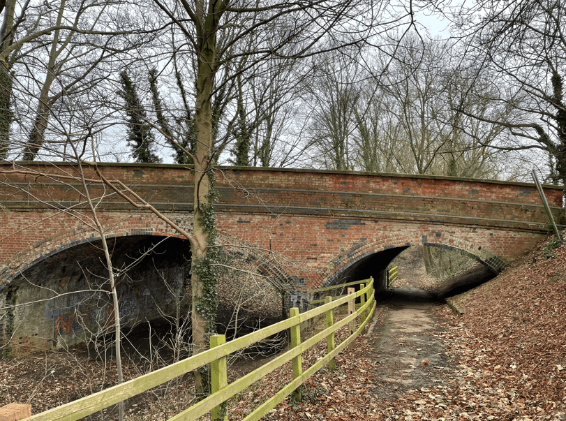
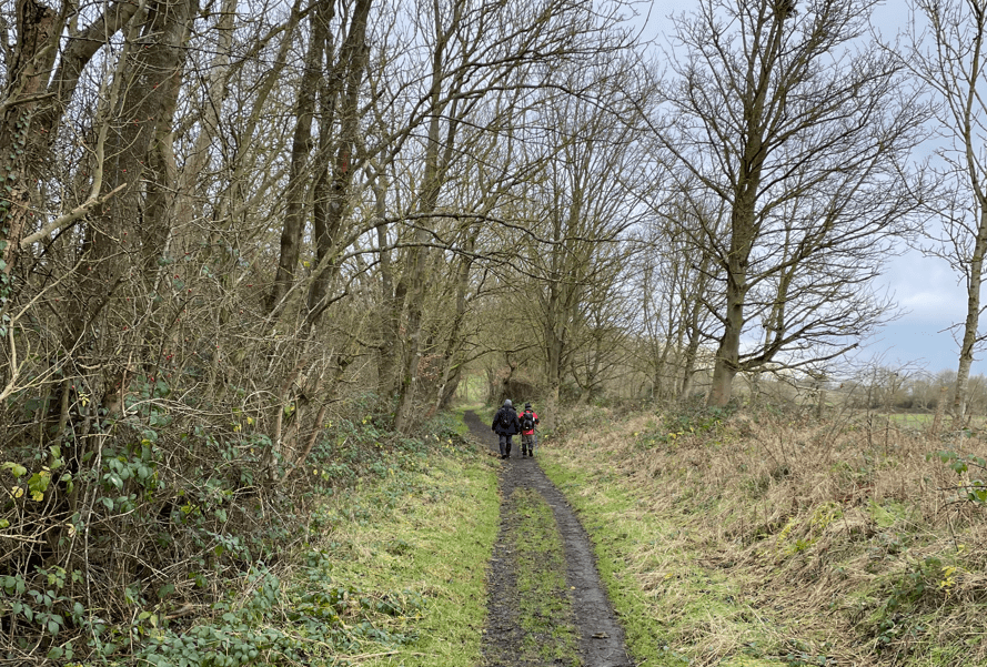
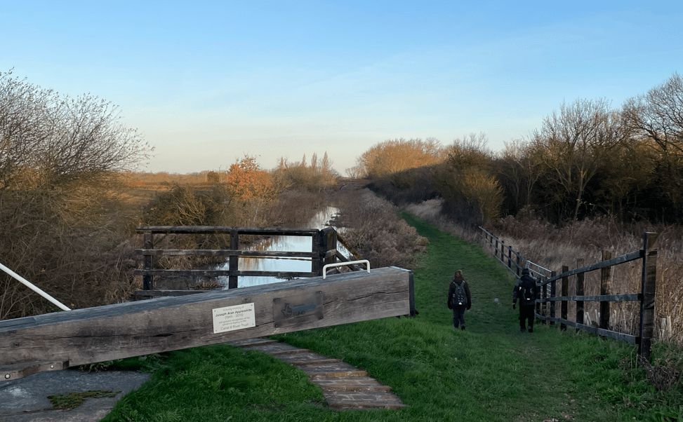
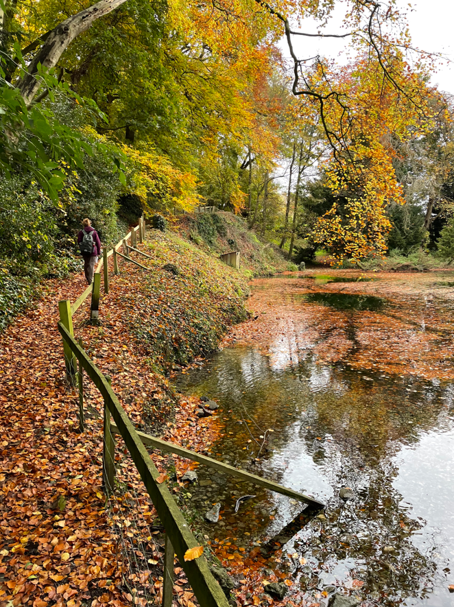
We left the road, crossing a rickety footbridge over the drain and entered a woodland.


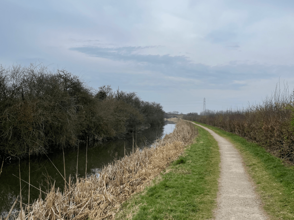
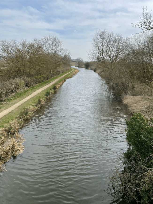
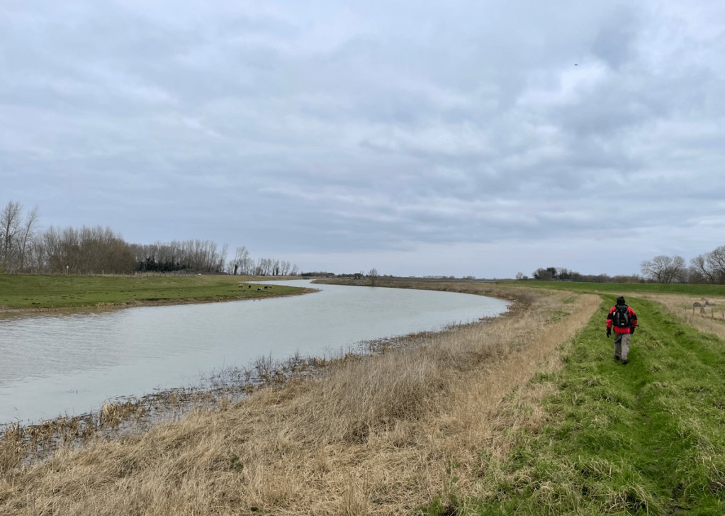
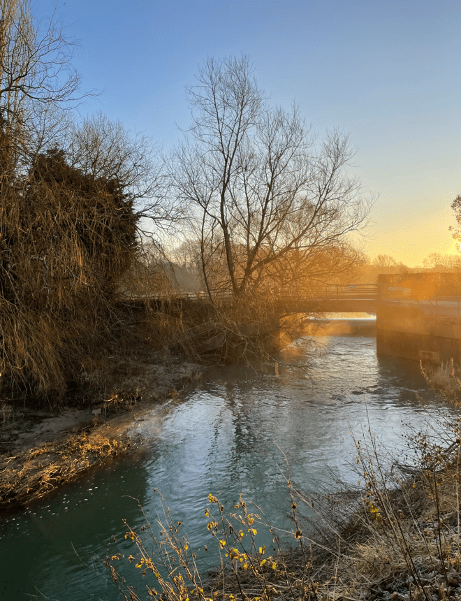
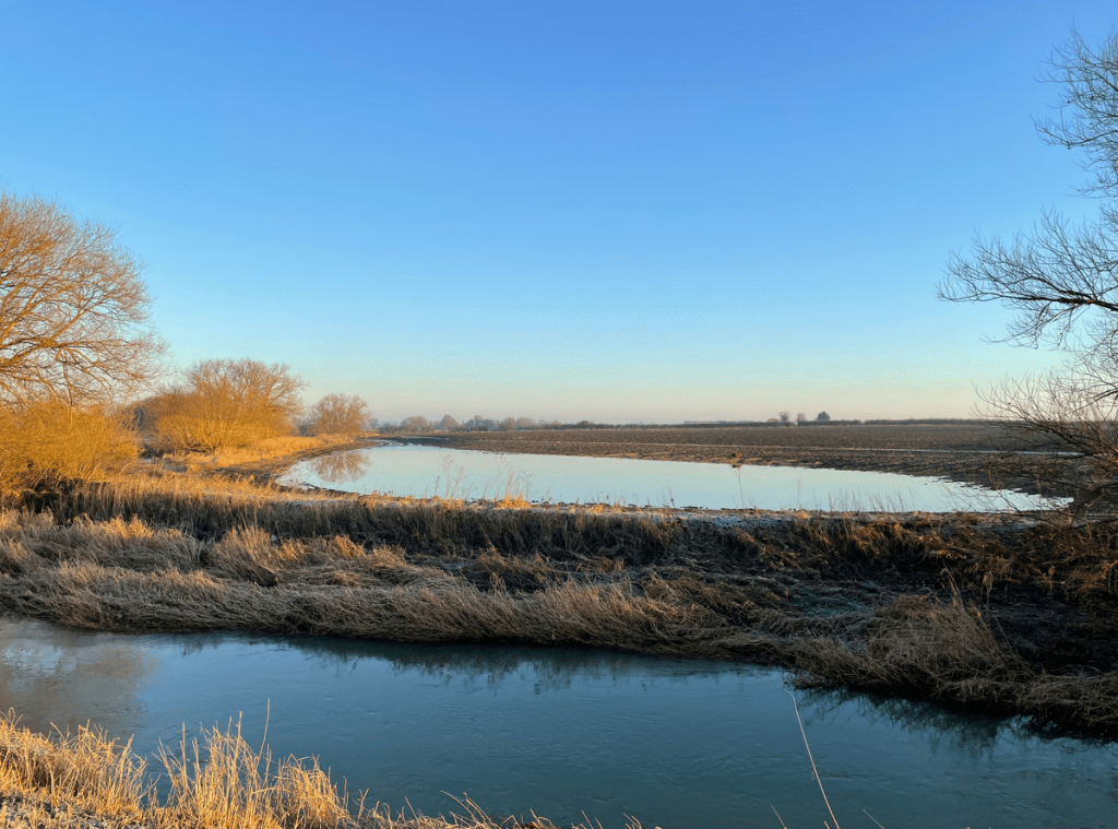
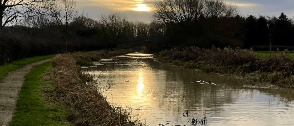
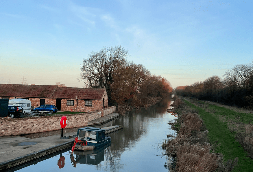
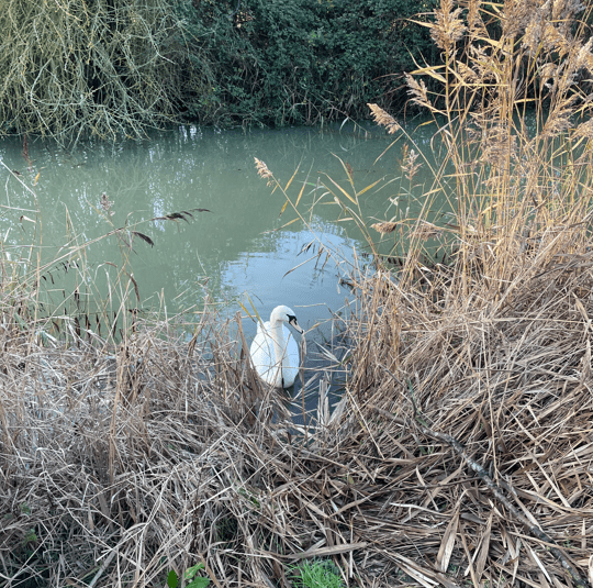
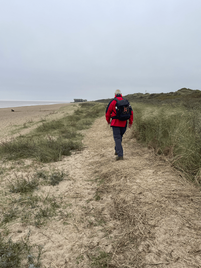
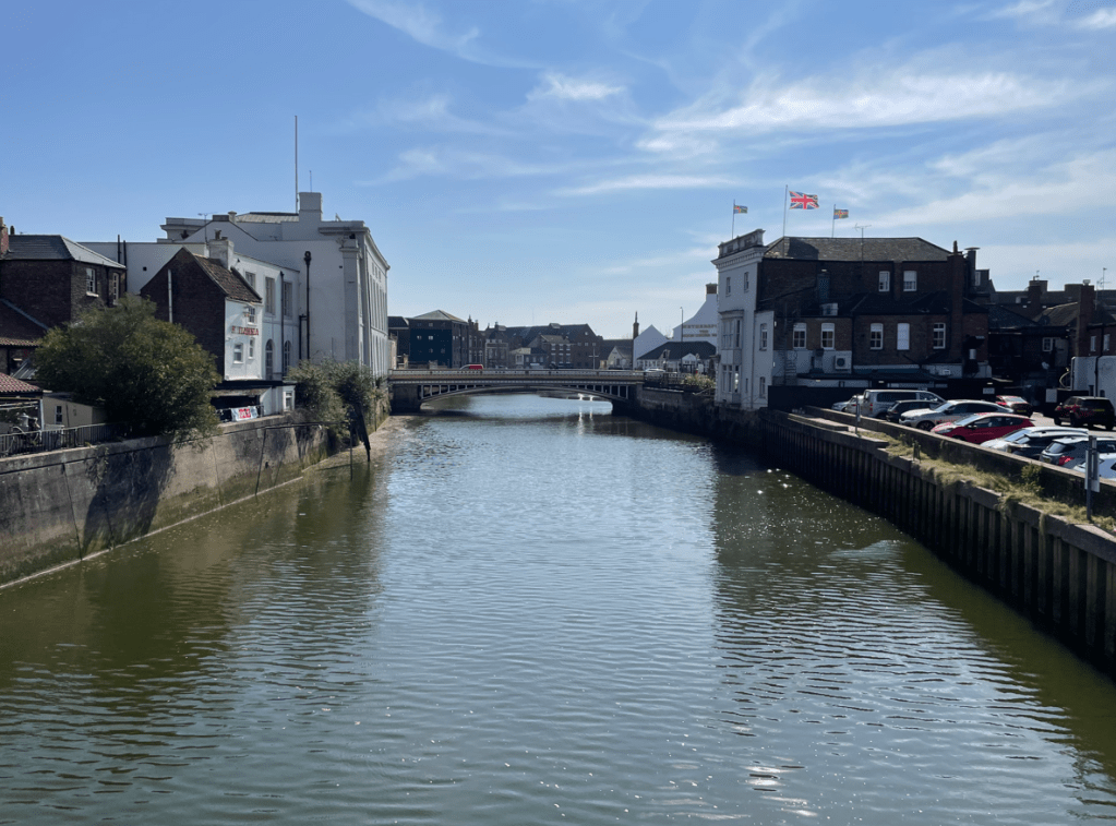
A short walk through the woodland brought us to the River Witham – it is quite wide at this point.

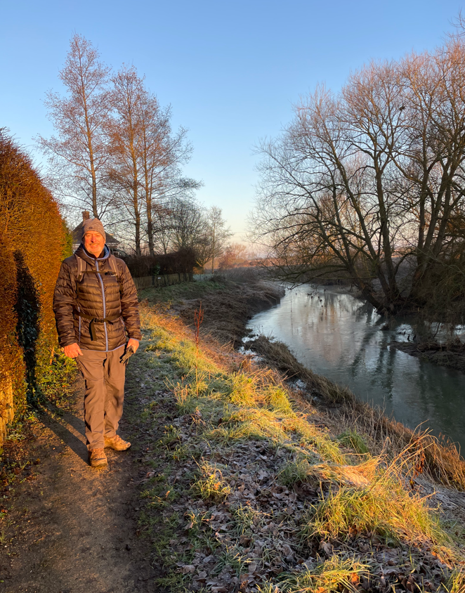
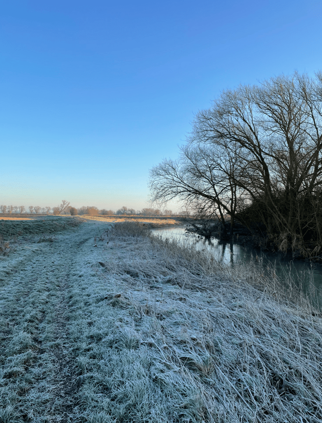
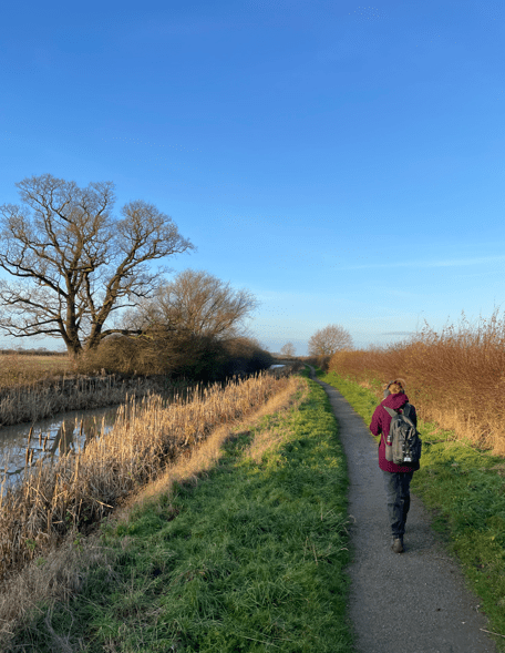
We walked beside the river back into Boston. A chap who was volunteering at litter picking told us that this stretch of water is one of the straightest in the country and is used by the England Rowing team to train. We passed Boston Rowing Club as we walked further on. The Stump was clearly visible as was the Marina.


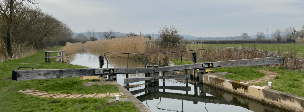
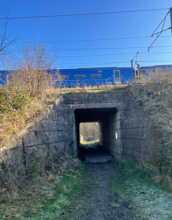
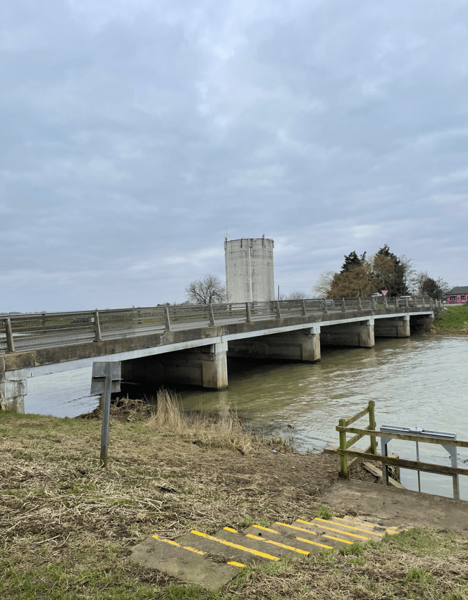
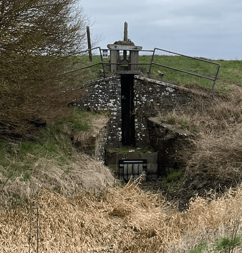
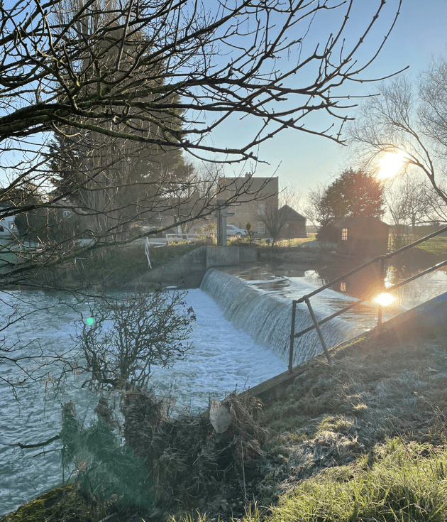
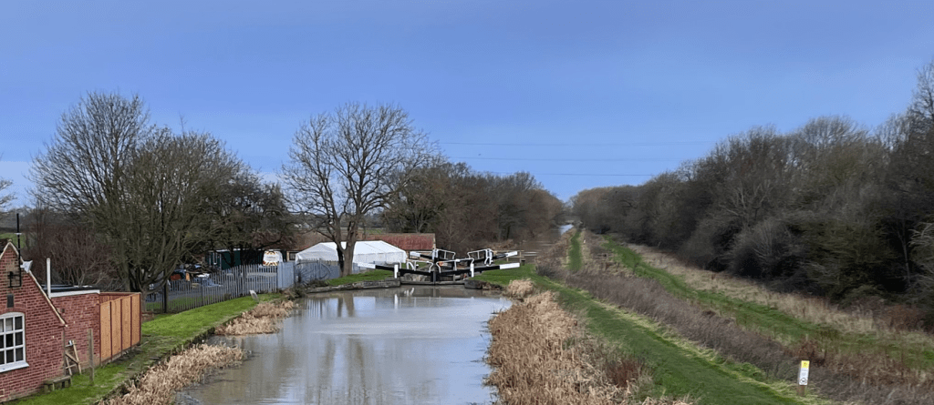
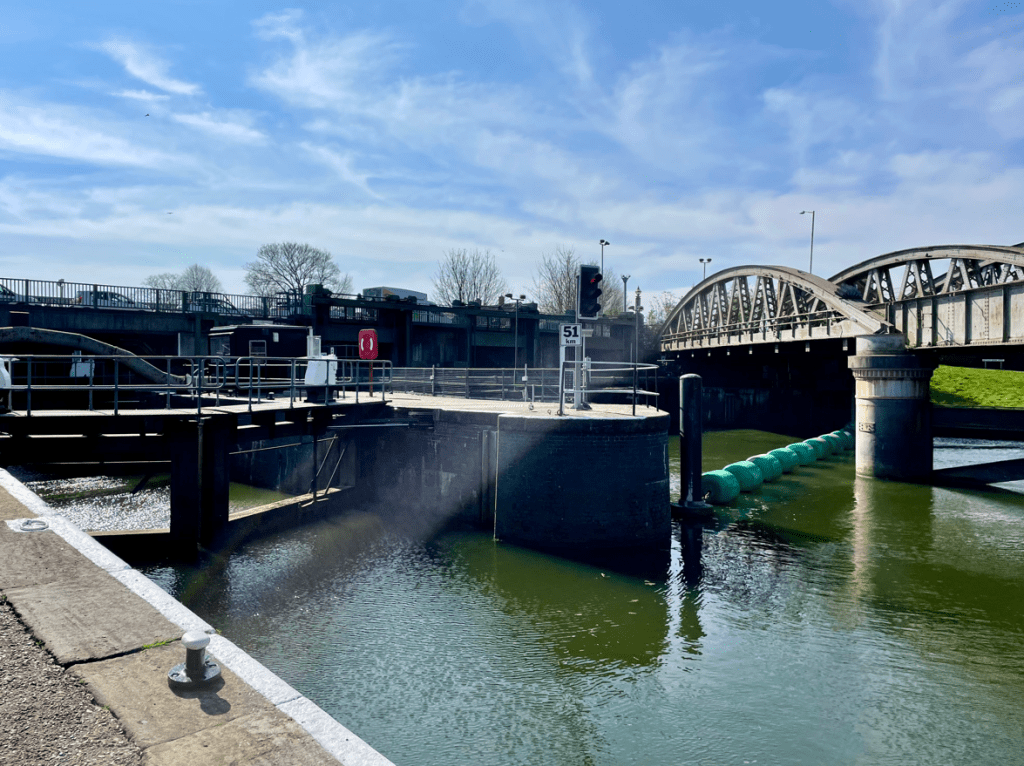
We walked under the railway bridge and passed the Grand Sluice Lock – built in 1766 to prevent extensive flooding between Boston and Lincoln.
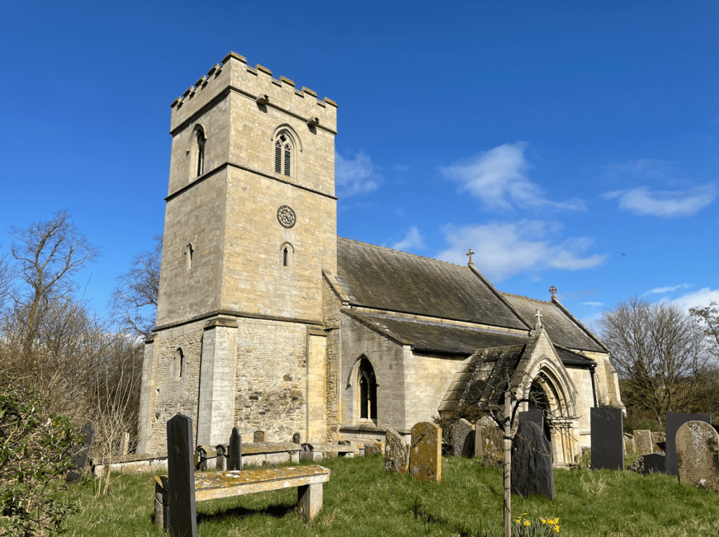
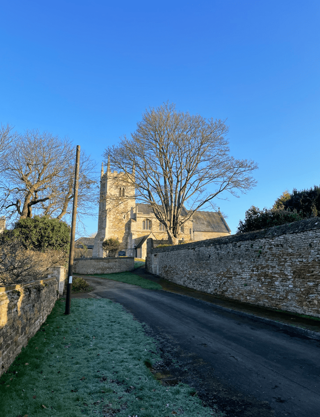
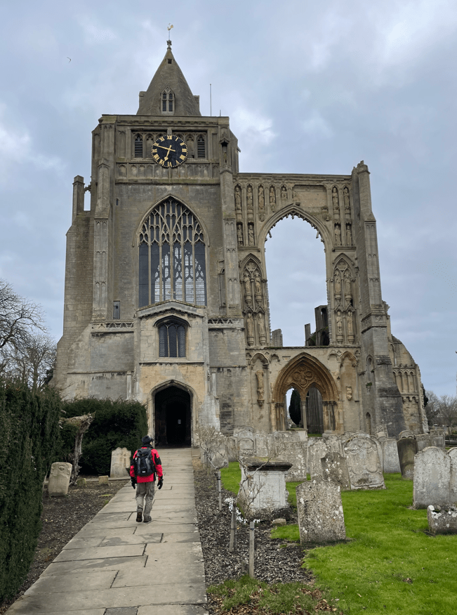
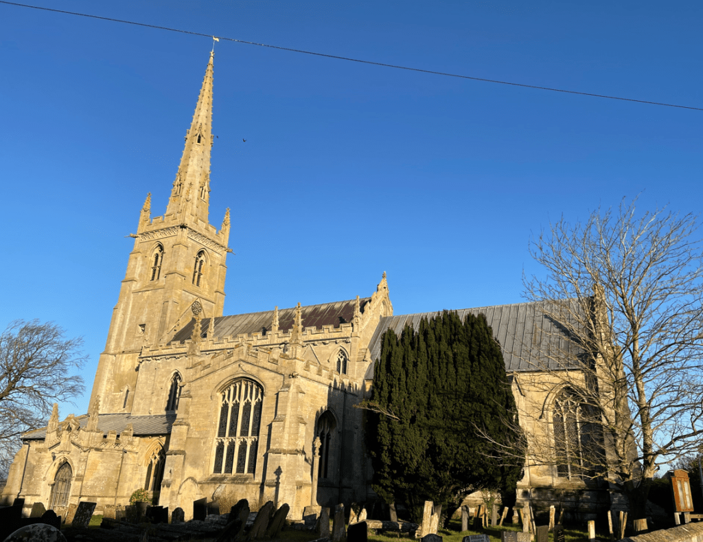
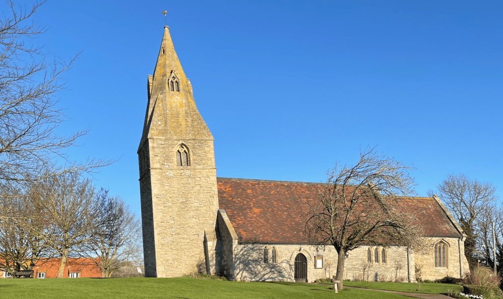
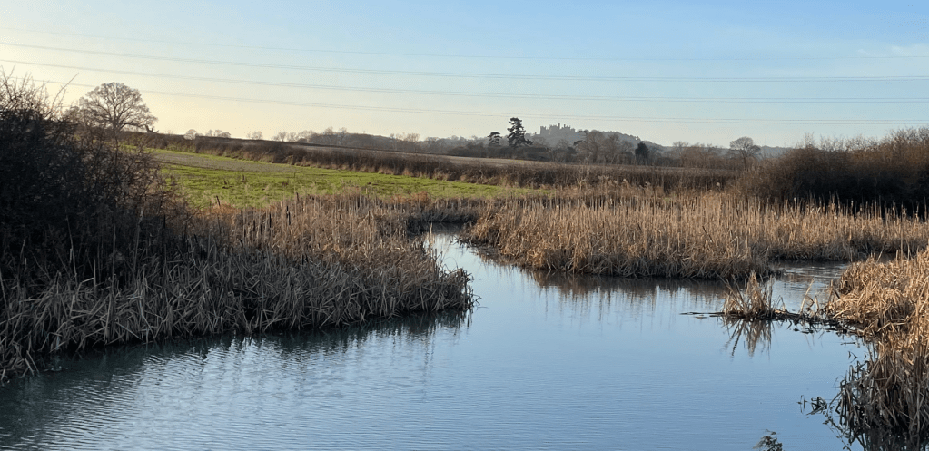
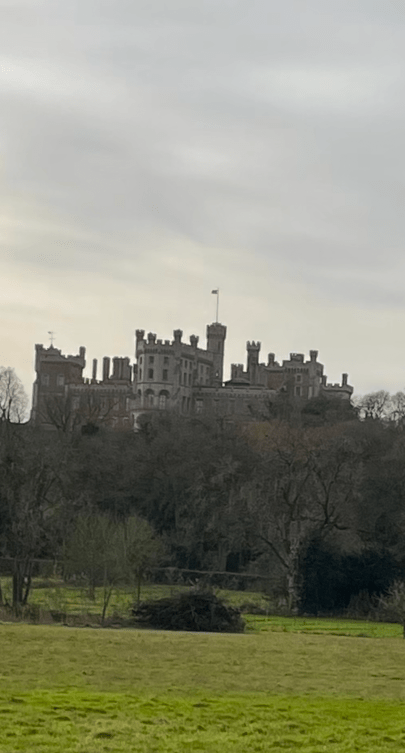
Walking on we had fabulous views of The Stump – no one knows why it is called that. It took some seventy years to build and at least four architects, successively, were in charge. I thought it was a truly impressive building. Nicholas Pevsner in ‘The Buildings of England’ describes it as ‘the most prodigious of English parochial steeples’.
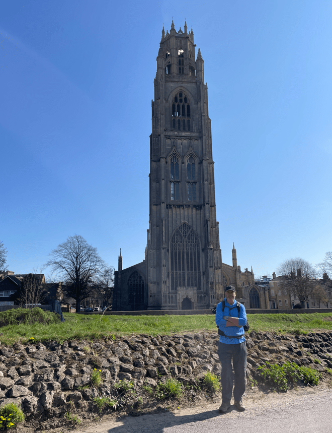
We crossed the bridge over the river Witham to pay a visit.
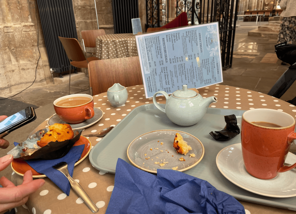
First port of call was the coffee shop!
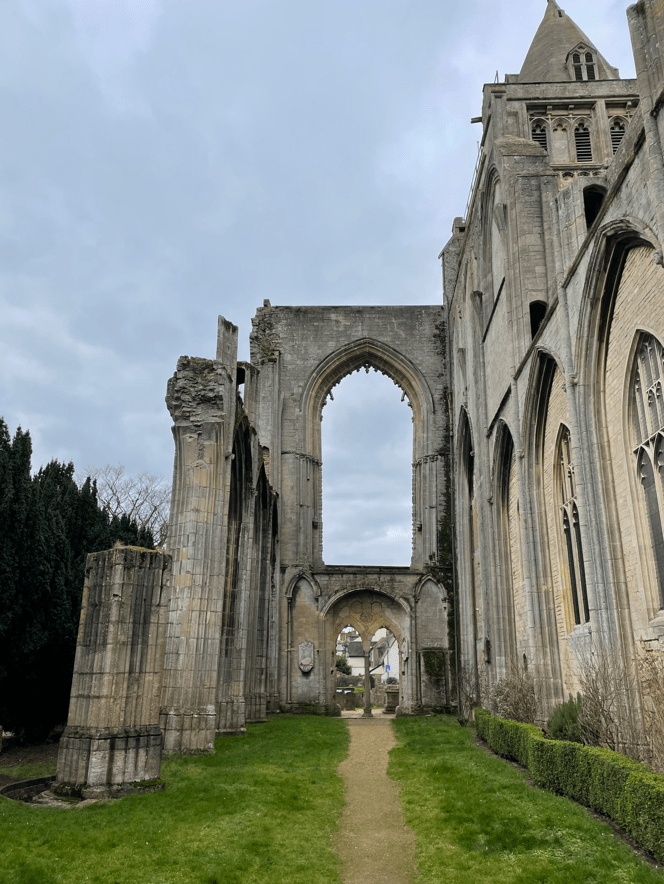
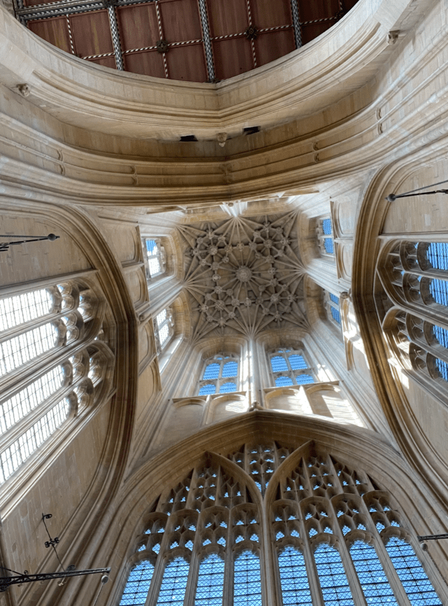
Refreshed after a sit down and coffee we took a walk around St Botolph’s church. It’s a beautiful church full of light and good vibes. The coffee shop is situated directly under the tower but if you look up you see a vaulted ceiling and cannot see to the top.


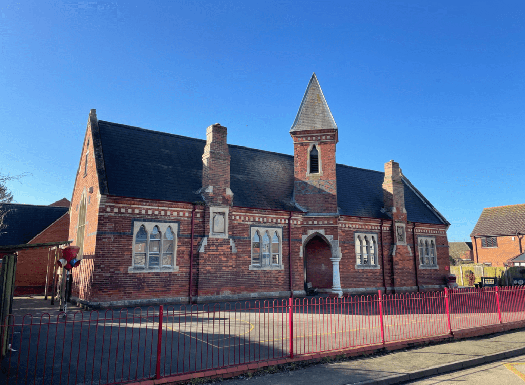
After viewing the church we walked through the busy town back to the car. I felt it had been a rewarding and enjoyable use of a sunny morning.
Happy Walking! 😊🚶