Hello and welcome back to my blog 😊.
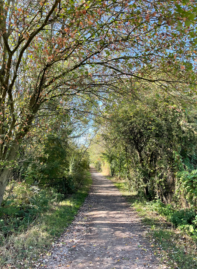
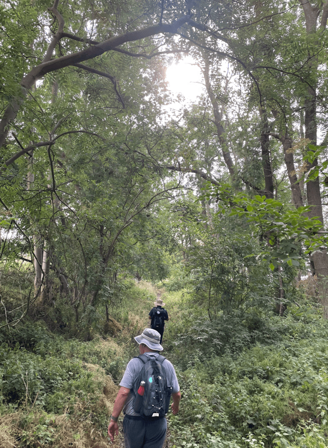
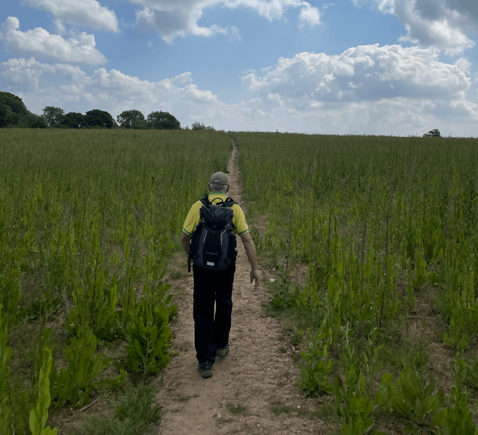
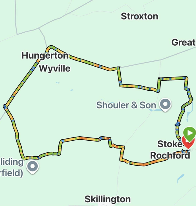
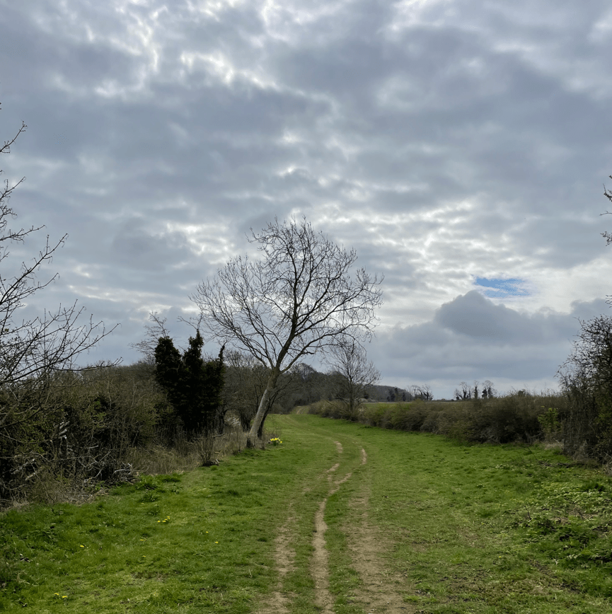
Today Mick and I enjoyed a 10.5-mile circular walk from the Lincolnshire village of Stoke Rochford. Mick had proposed the walk and announced that it had a waterfall to view, so off we set on a cloudy morning in late March. It would turn out to be a lovely little walk through rural Lincolnshire.
The day had not begun too well because the route I had planned to drive to Stoke Rochford (avoiding a high-accident blackspot, crossing over the A1 northbound lane) was thwarted, because yet another set of roadworks had closed my alternative road, meaning that we were forced onto the wretched A1. Obviously we crossed ok in the end 😊.
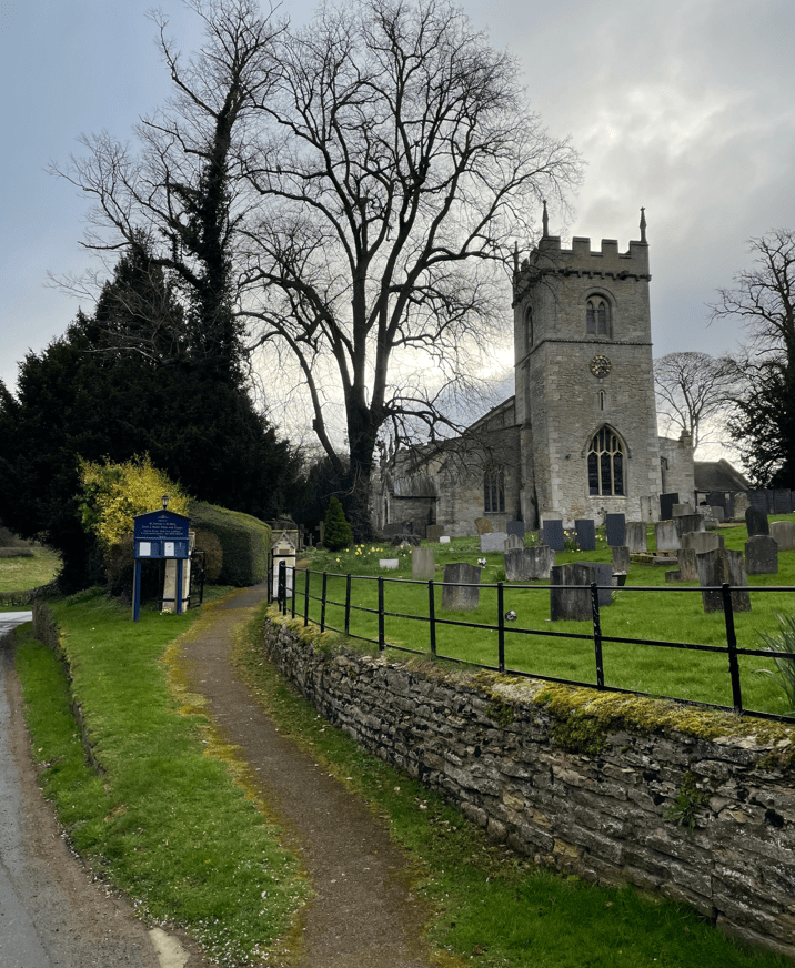
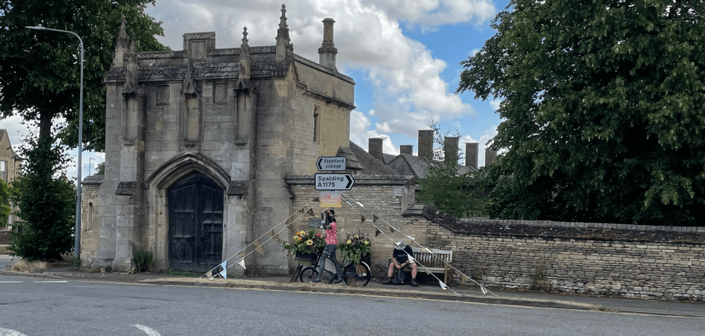
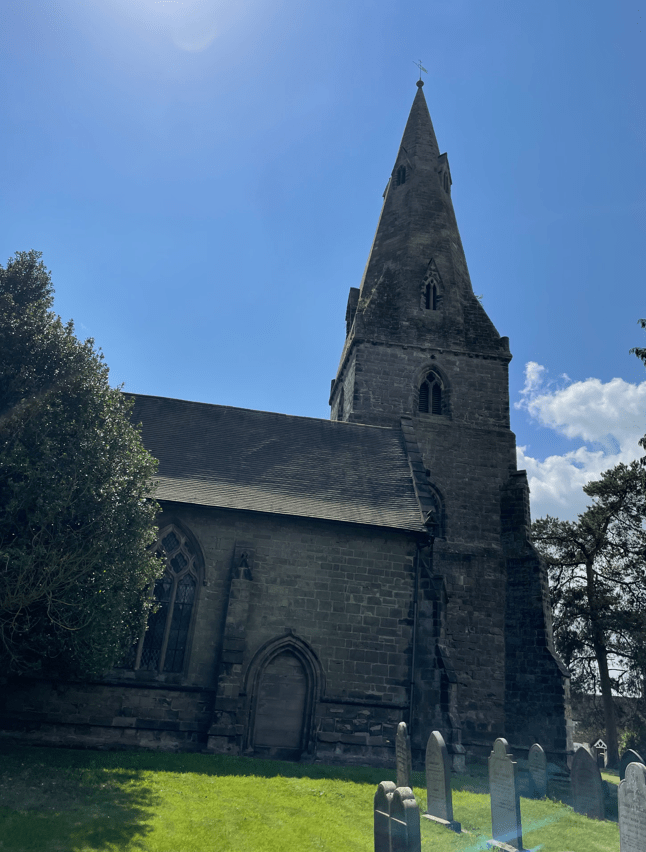
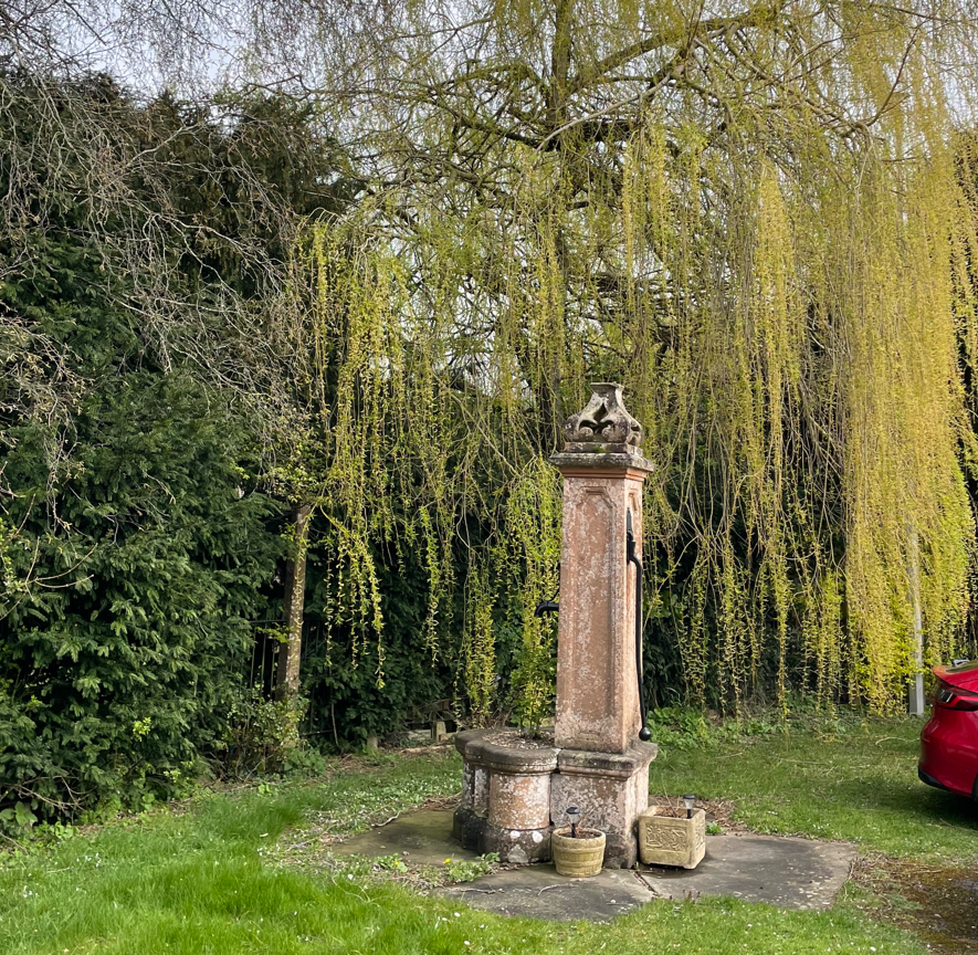
After parking in the village next to a ‘cows tail’ water pump (not working announced Mick who was pumping the handle up and down!) we followed the road past the church.
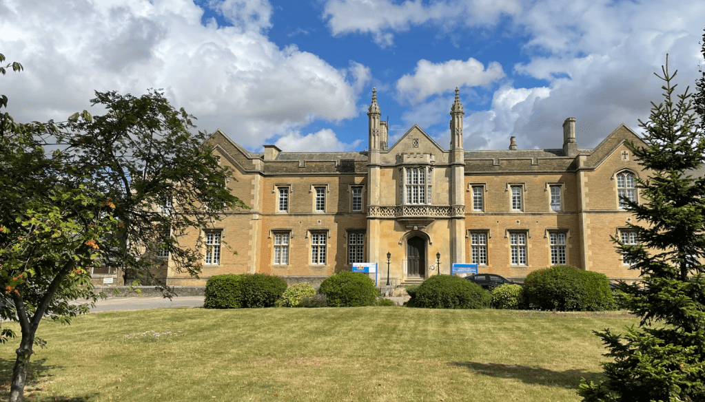
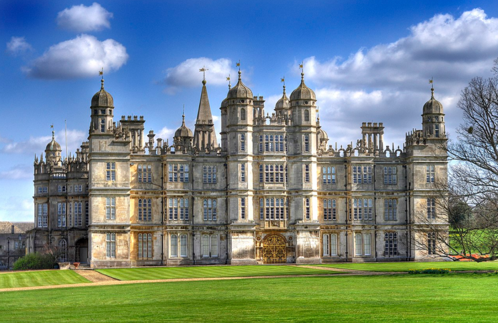
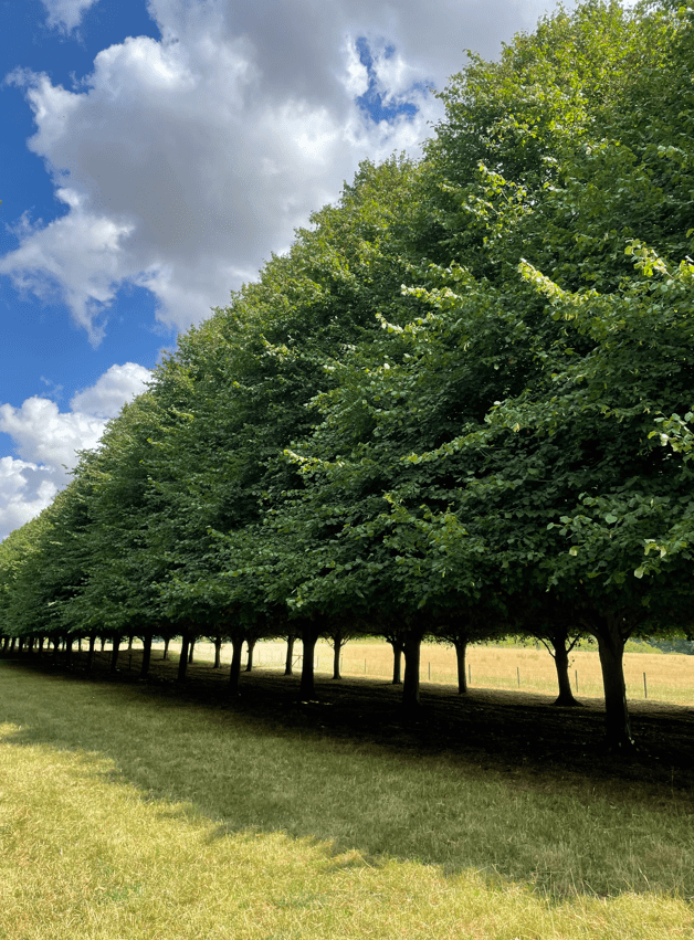
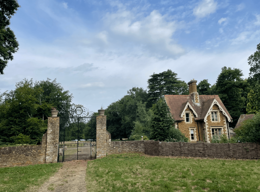
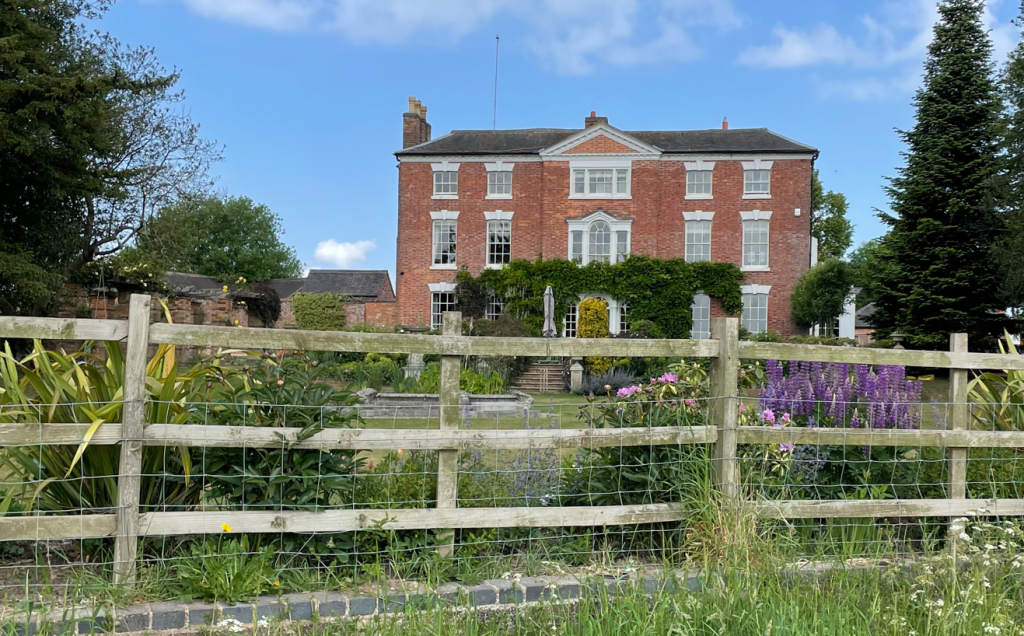
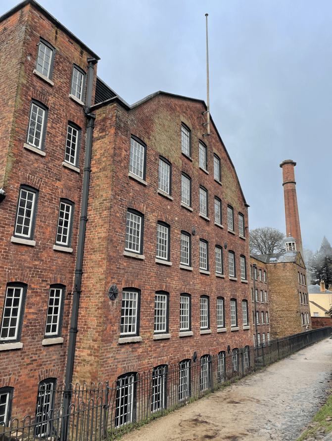
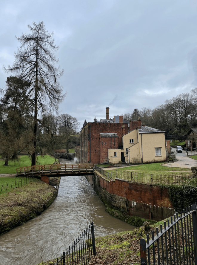
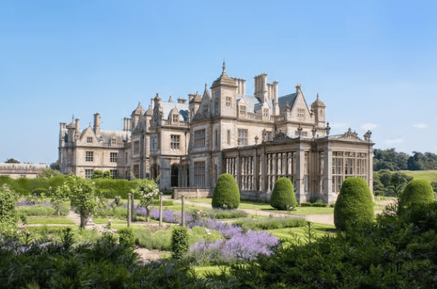
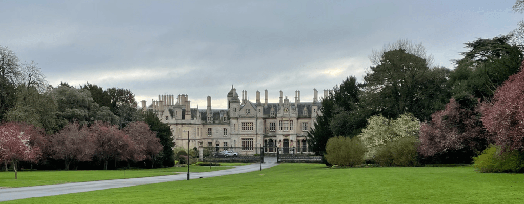
Soon we entered the grounds of Stoke Rochford Hall, a grade 1 listed Jacobean-styled manor house lying in 28 acres of landscaped gardens. The hotel closed following its use as a hotel for asylum seekers starting in 2022 and was left abandoned. Early in 2026 it has been acquired by The Timeless Collection and hopefully it will return to its former glory.
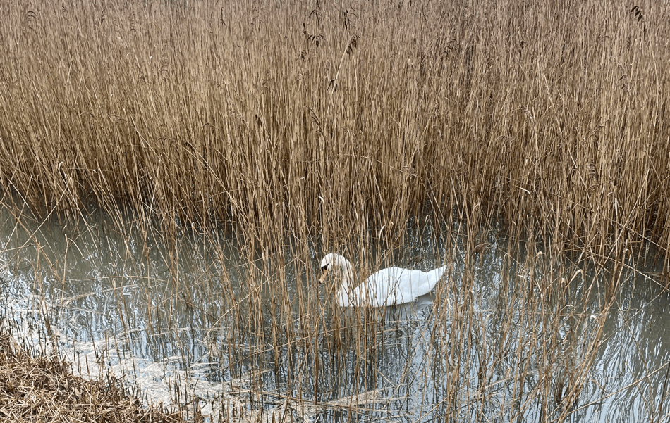
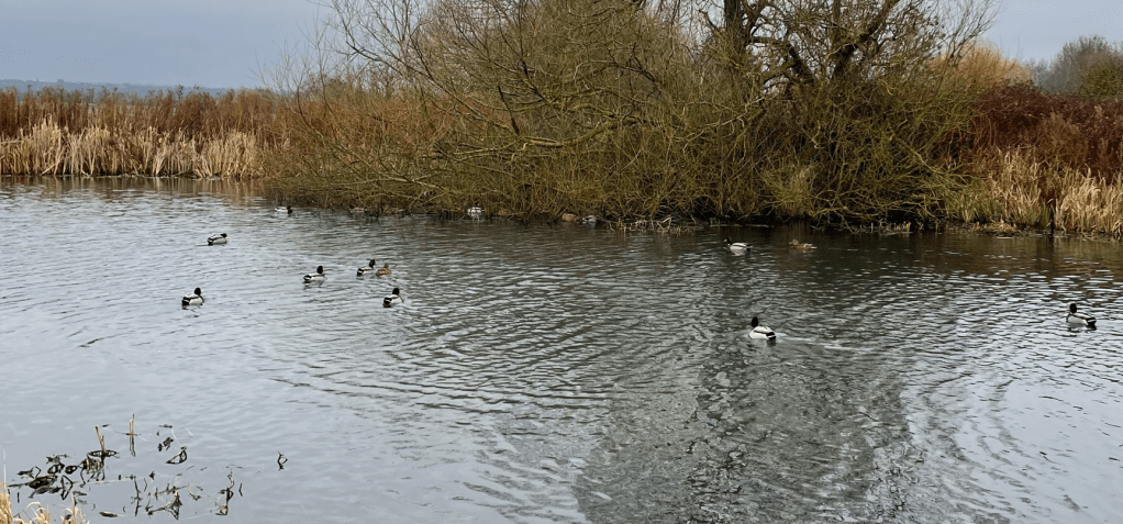
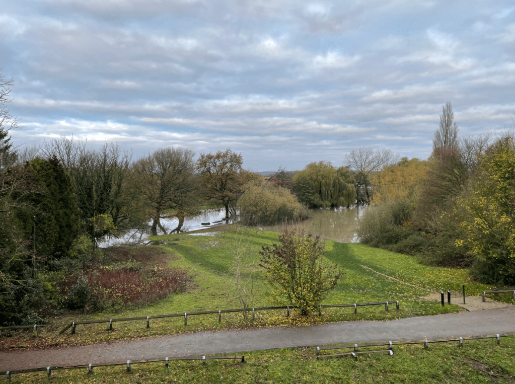
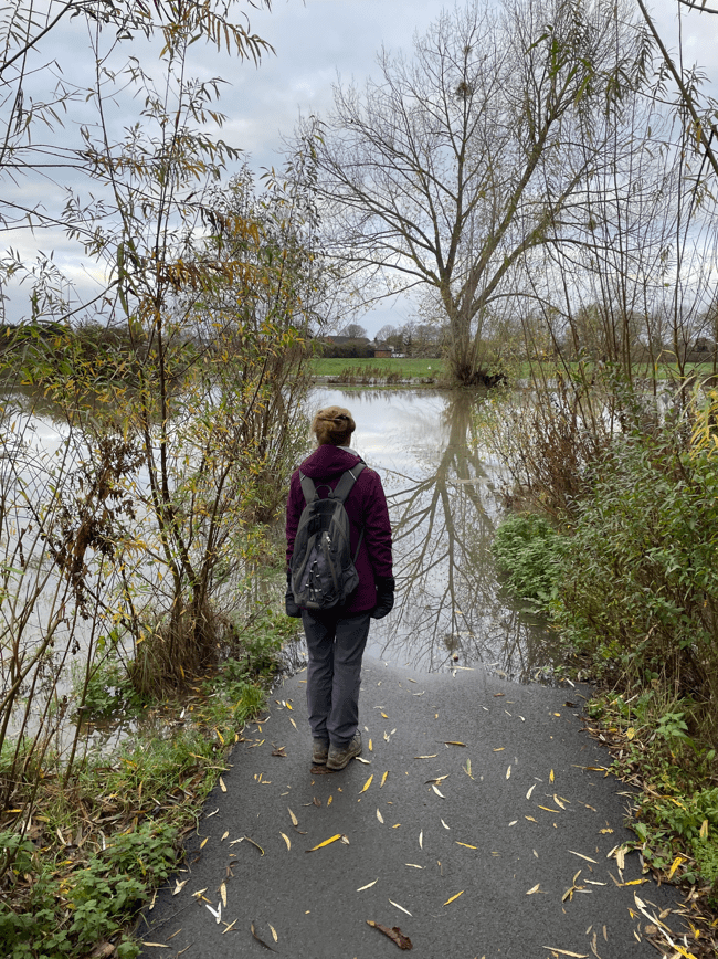
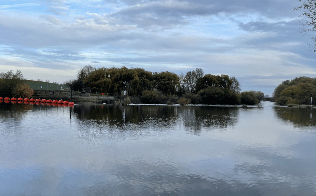
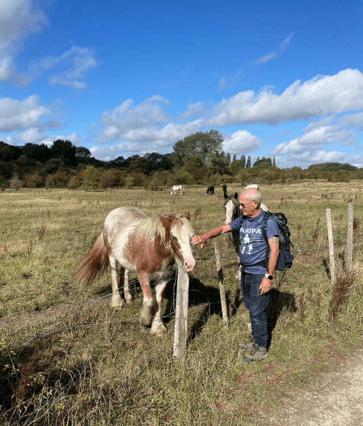
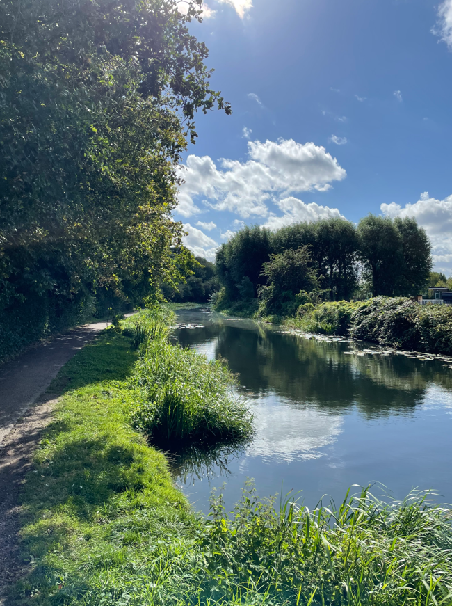
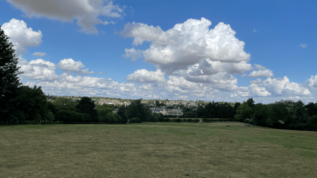
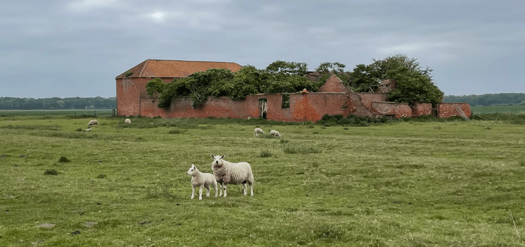
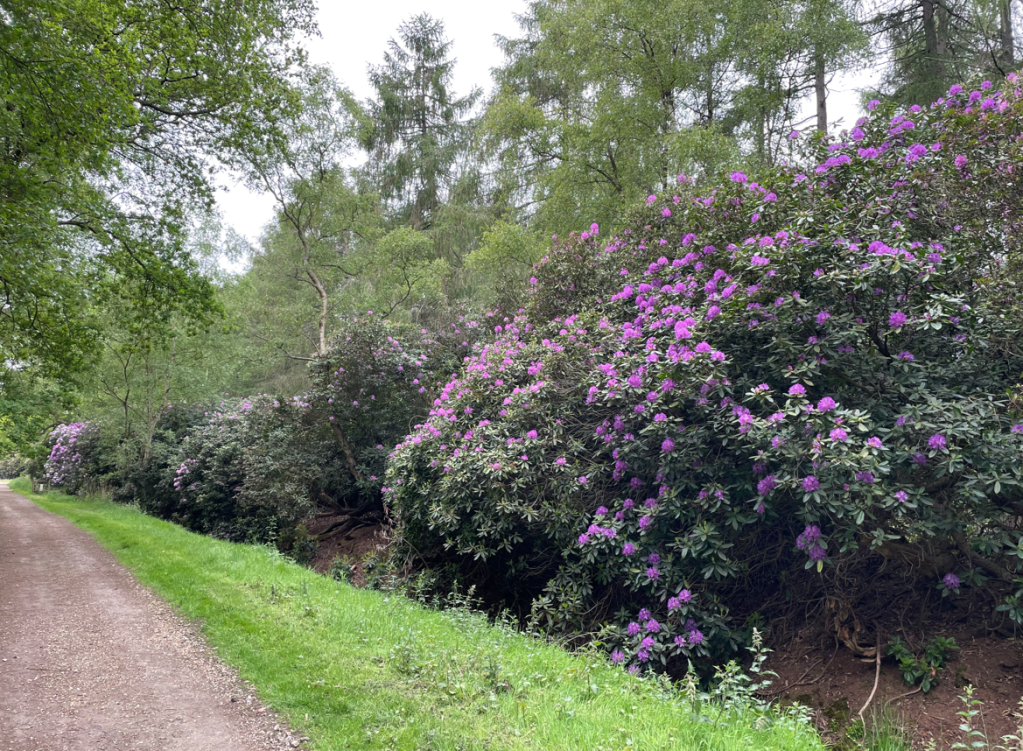
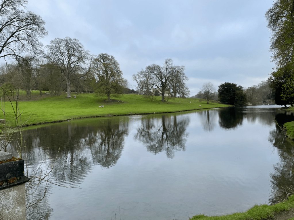
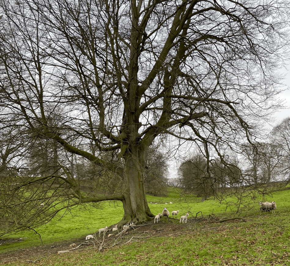
As we walked through the grounds, where sheep and numerous lambs were grazing, we passed a tranquil lake with a view of the house in the distance.
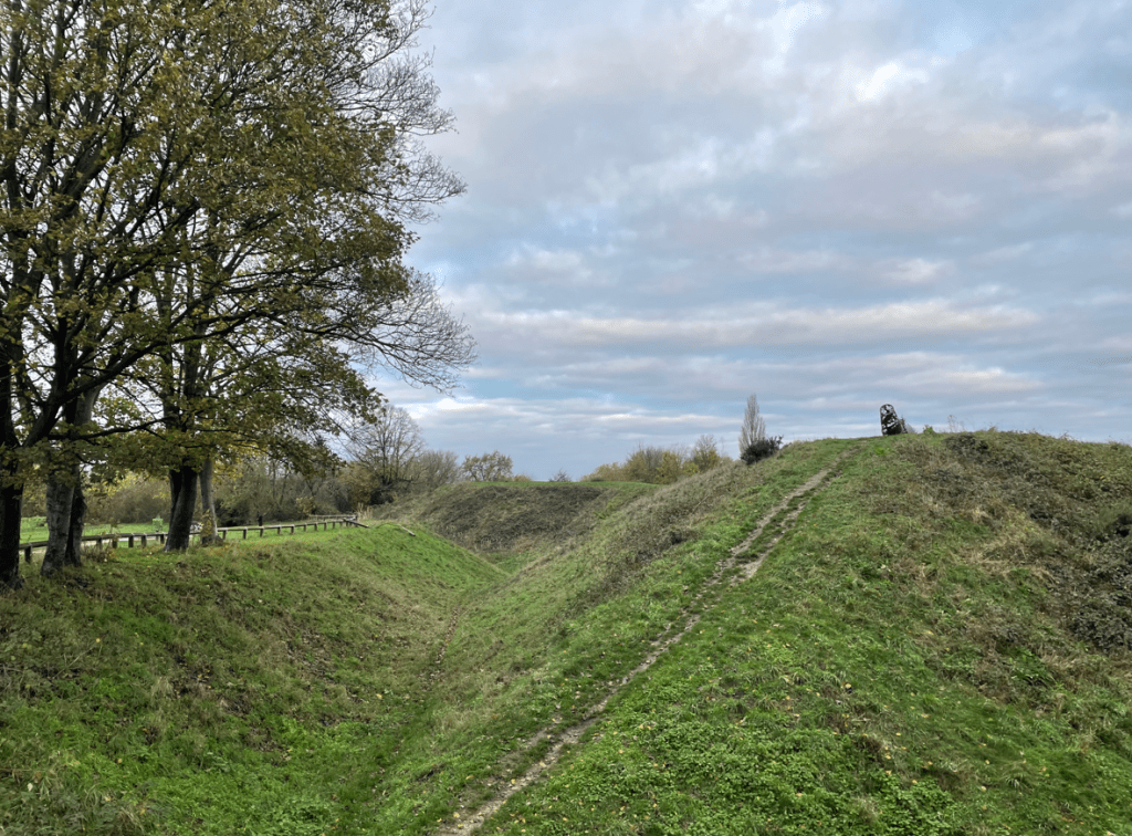
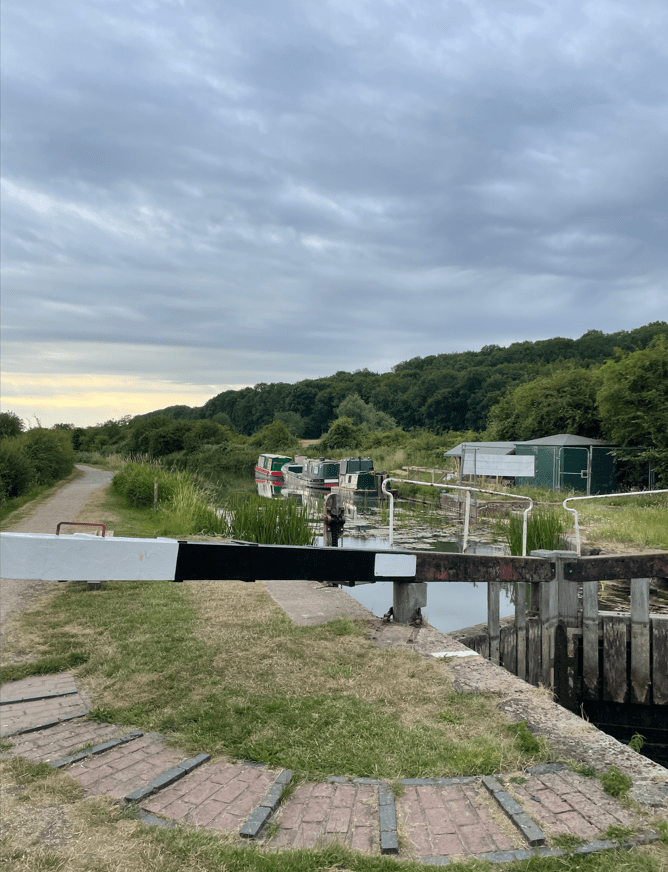
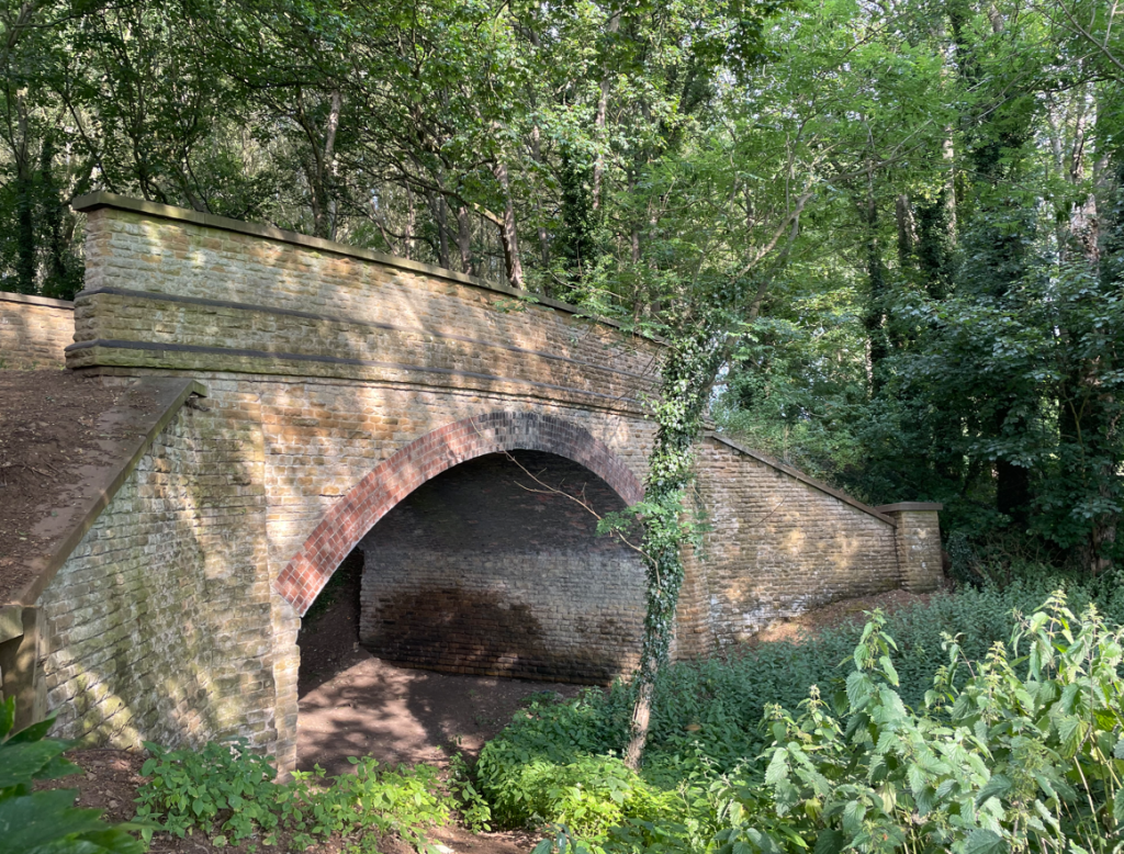
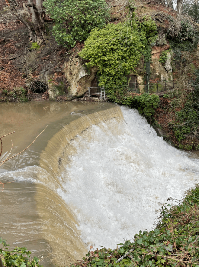
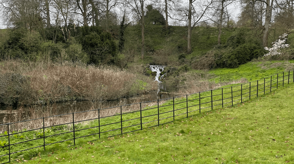
We passed the waterfall which, sadly, turned out to be far less impressive than we expected. Would you even call it a waterfall?
We continued through the grounds passing the front of the house. I liked the chimneys. In 1940 the house was requisitioned by the War Office – it became the headquarters of the Second Battalion, the Parachute Regiment. The ill-fated 1944 Arnhem drop was planned in the library at Stoke Rochford.
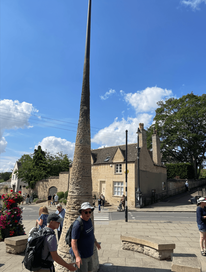
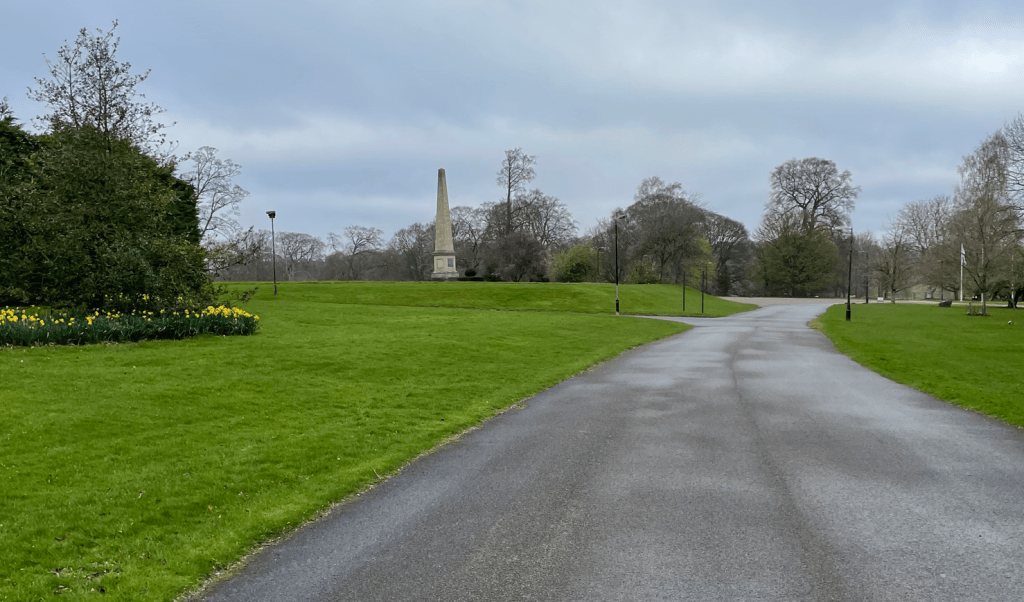
Opposite the house is an Obelisk in honour of Sir Isaac Newton who was born in Woolsthorpe, a neighbouring village.
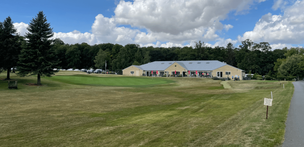
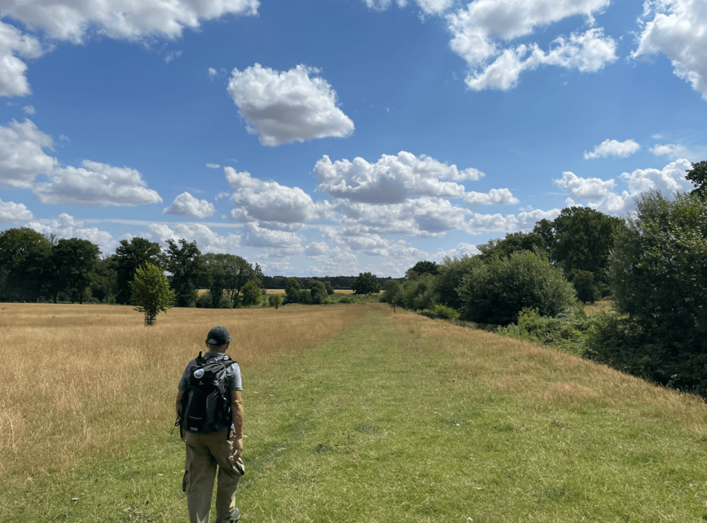
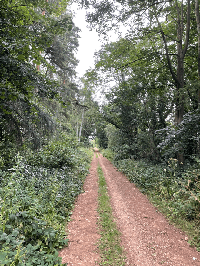
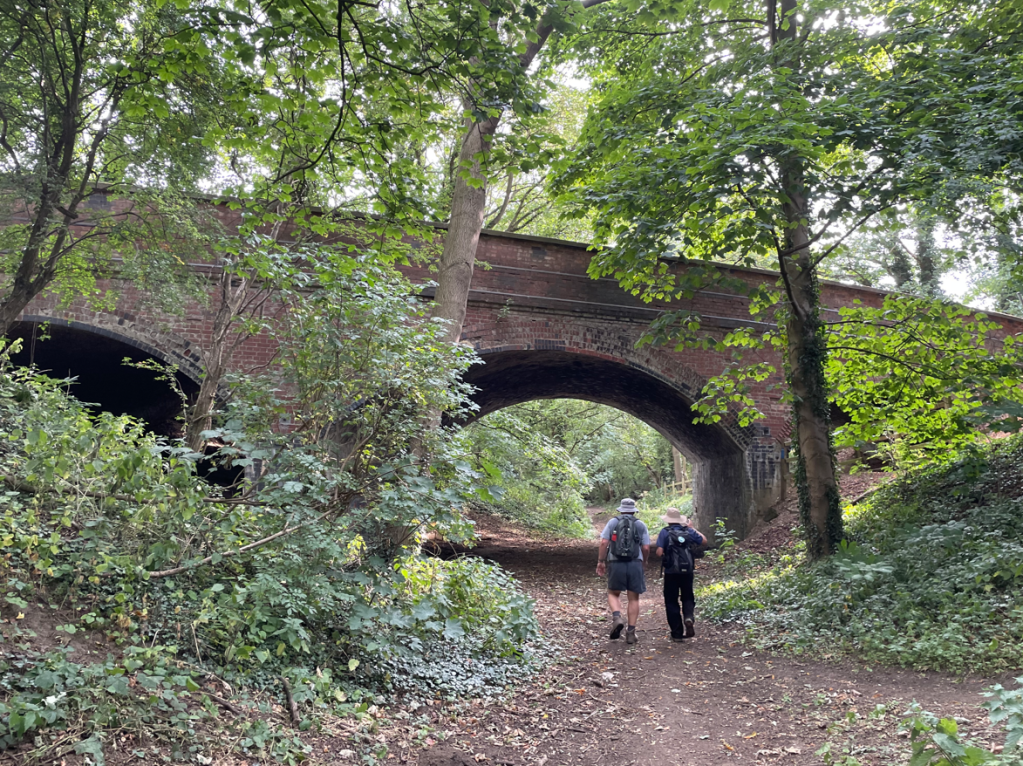
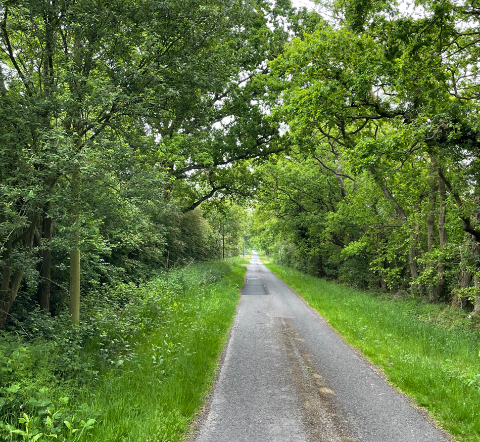
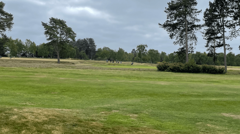
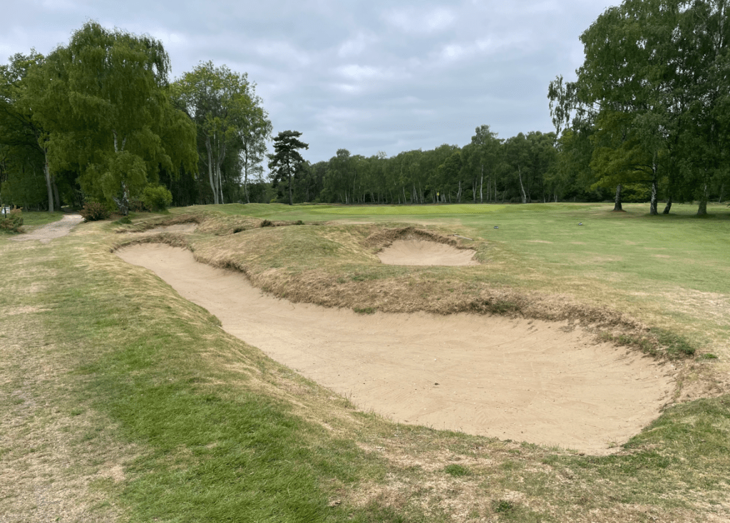
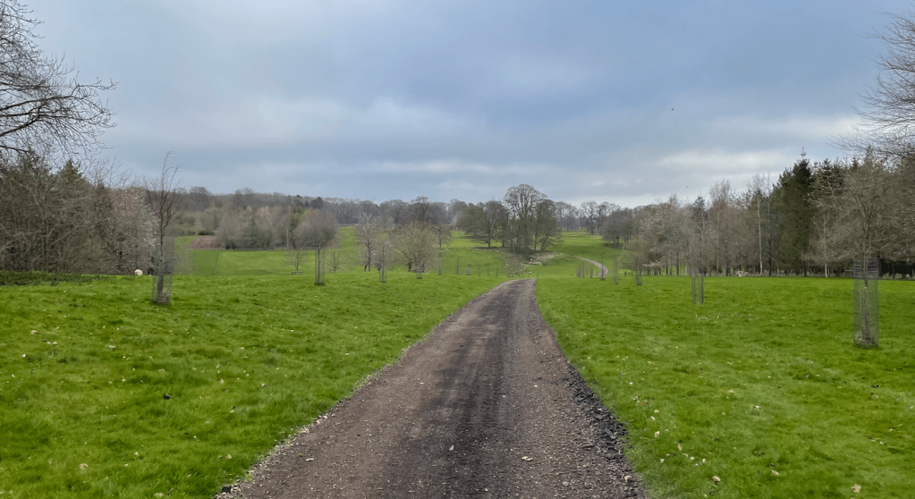
Our route followed a cinder track through the grounds eventually arriving at Stoke Rochford Golf course.
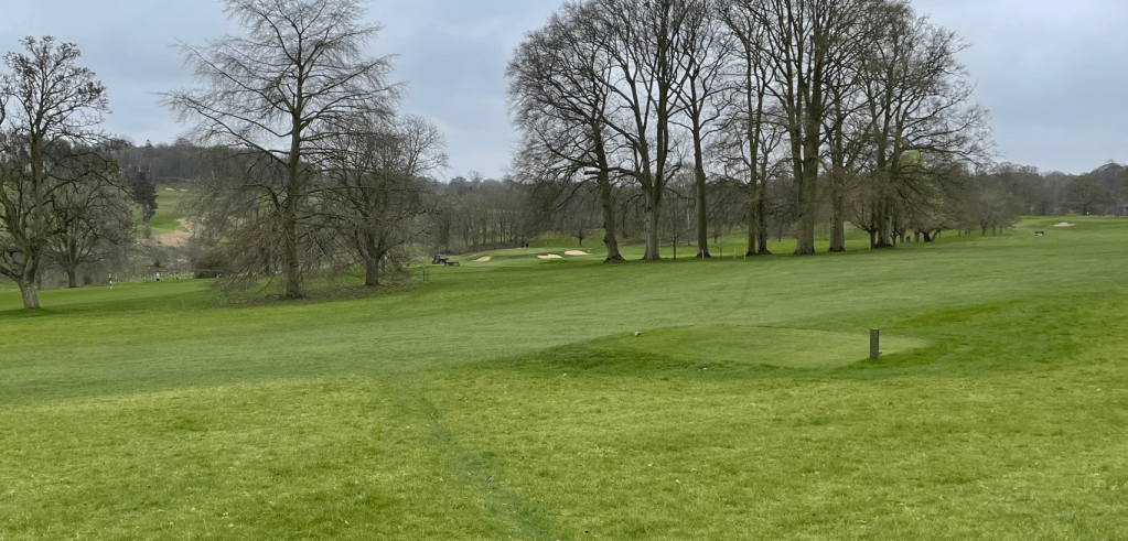
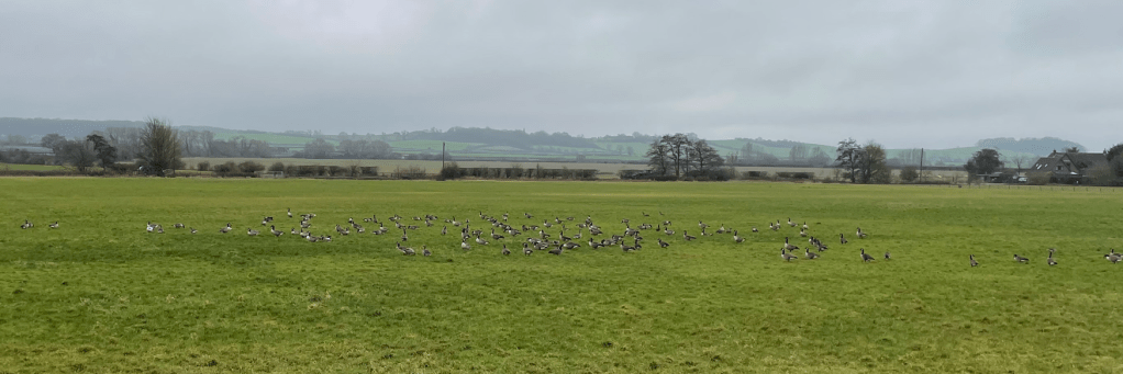
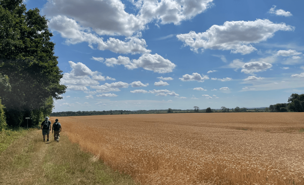
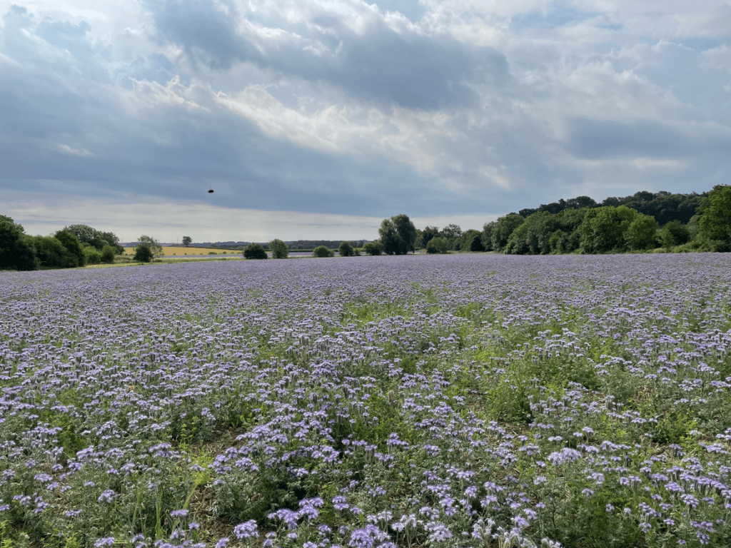
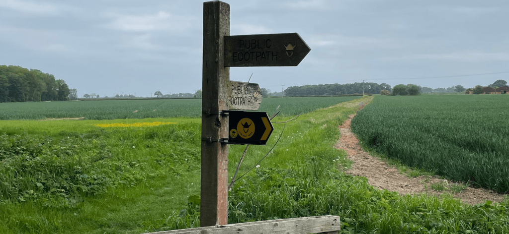
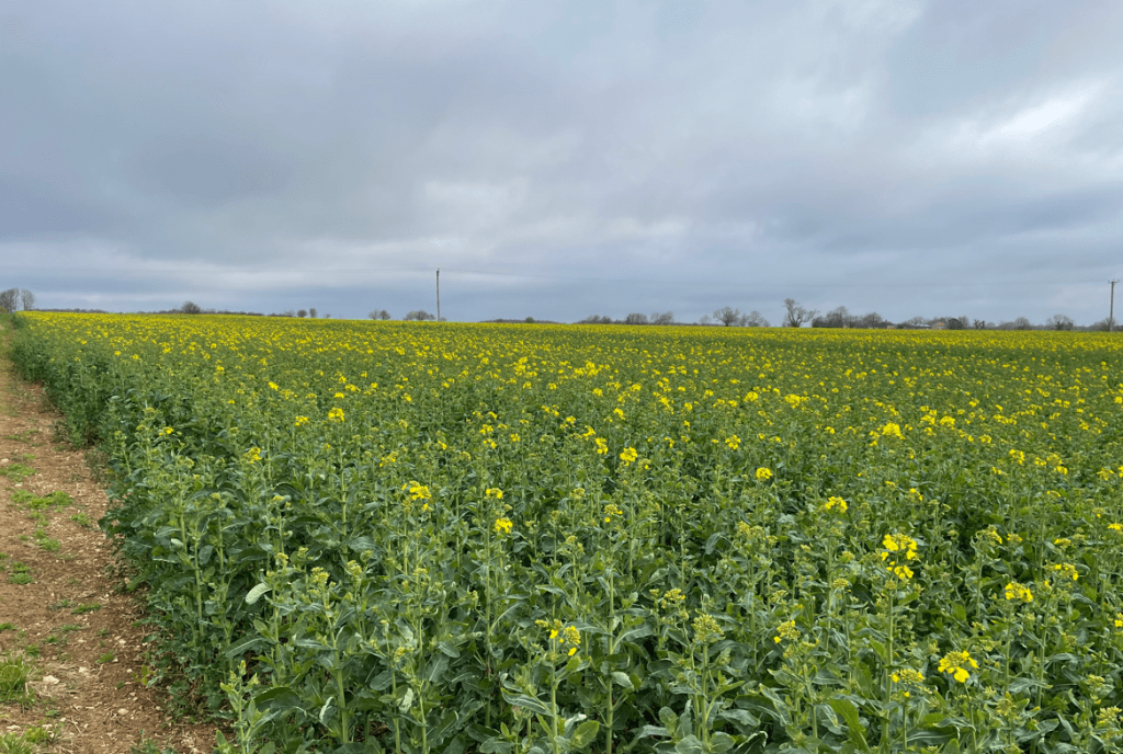
One of the Groundsmen working on the greens kindly came over to us and pointed out the route across the course – the way markings were not particularly clear. We were thankful for the guidance. After passing safely through the golf course we had some road walking to do before crossing fields of Rape (the yellow flowers were just starting to bloom) to reach The Drift.
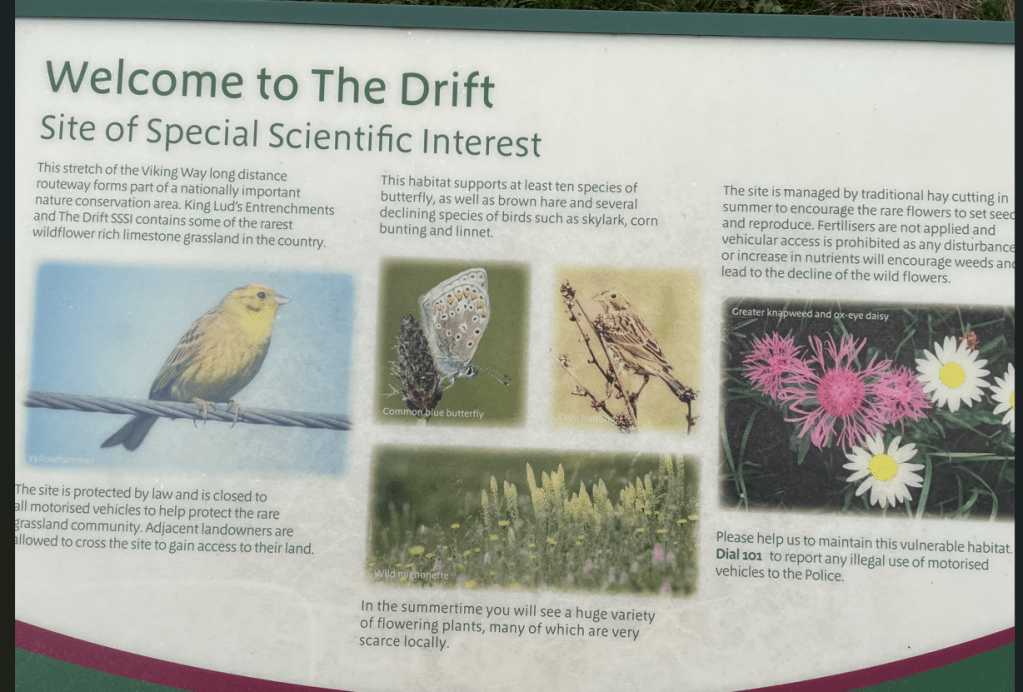
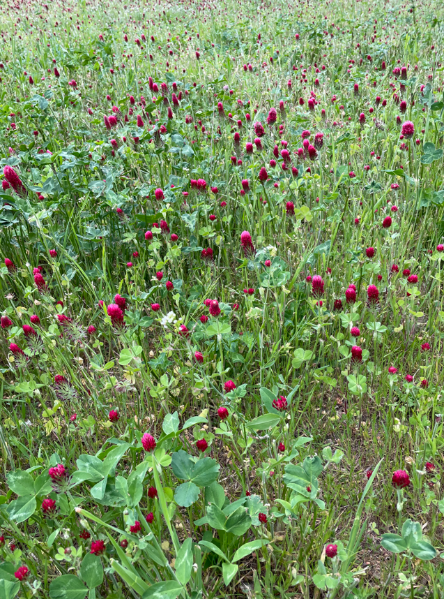
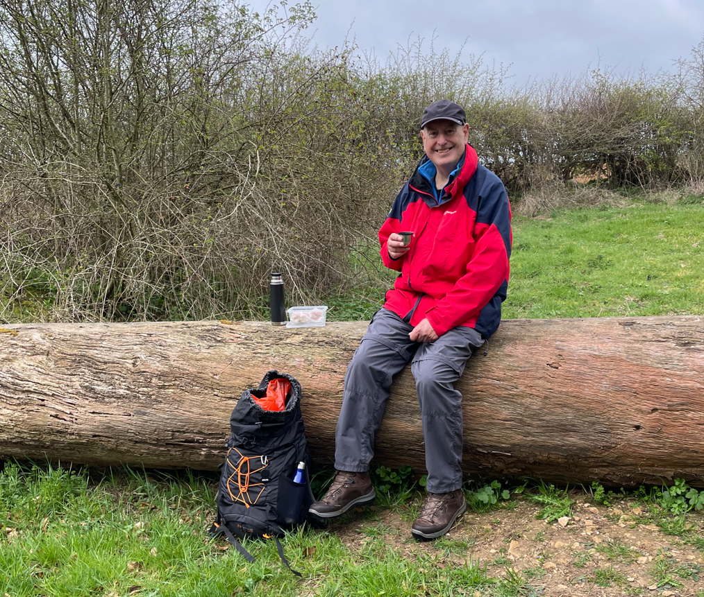
The Drift is a site of special scientific interest because it contains some of the rarest wildflower rich limestone grassland in the country. We were 6-miles in to our walk and it was time for a cuppa.
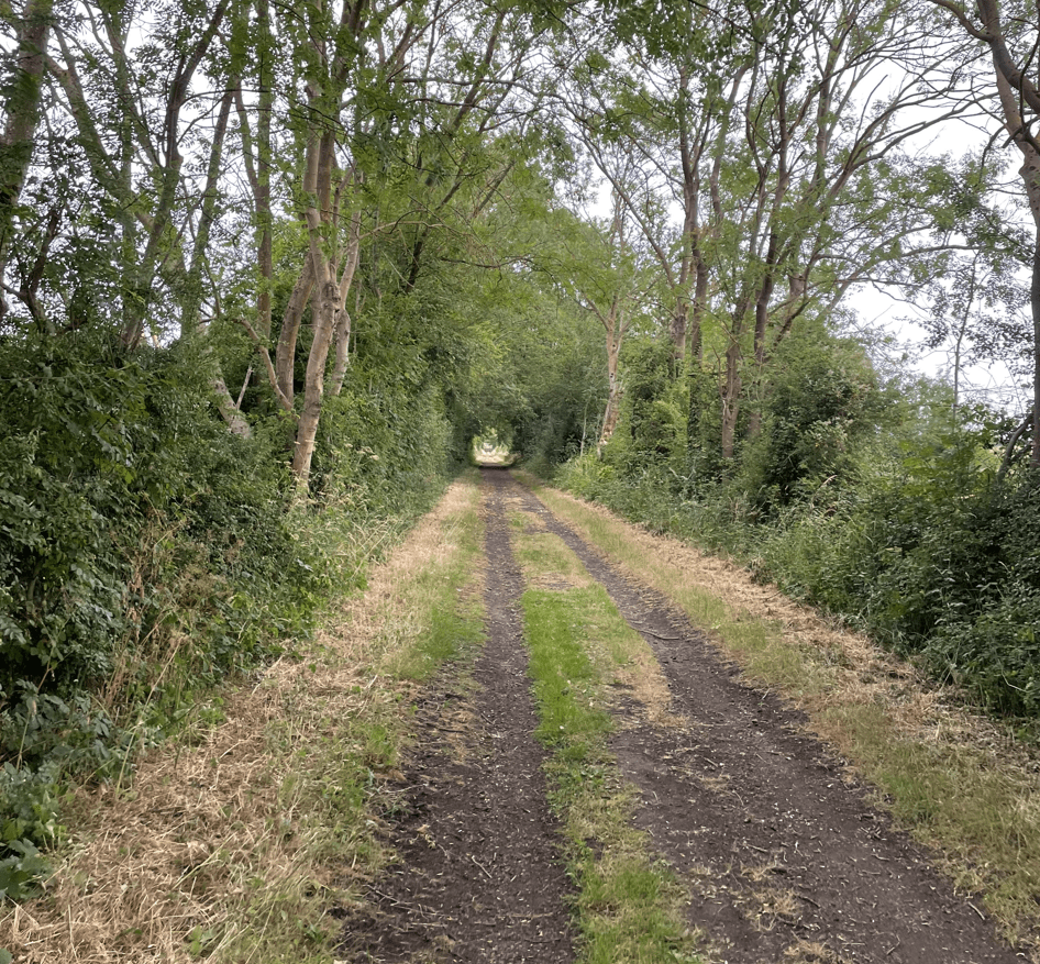
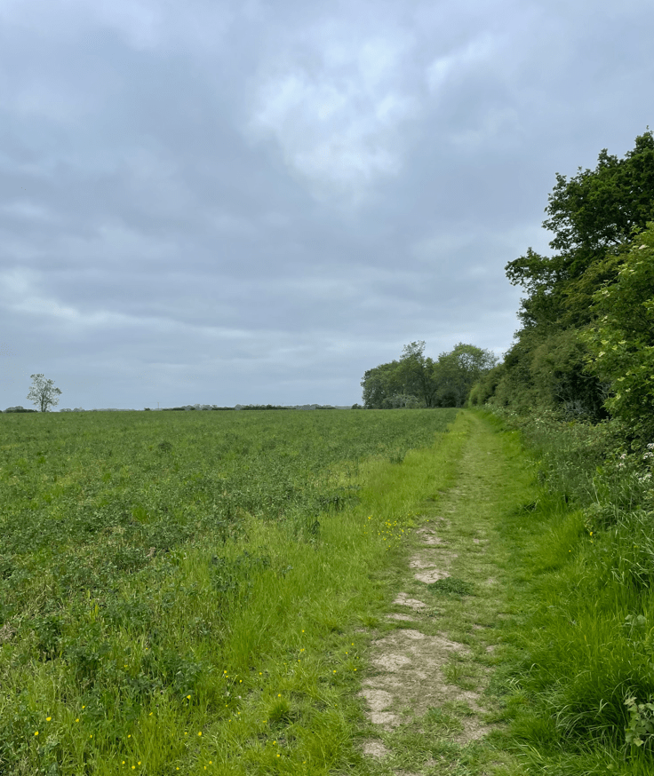
Following a break we proceeded along The Drift, part of The Viking Way.
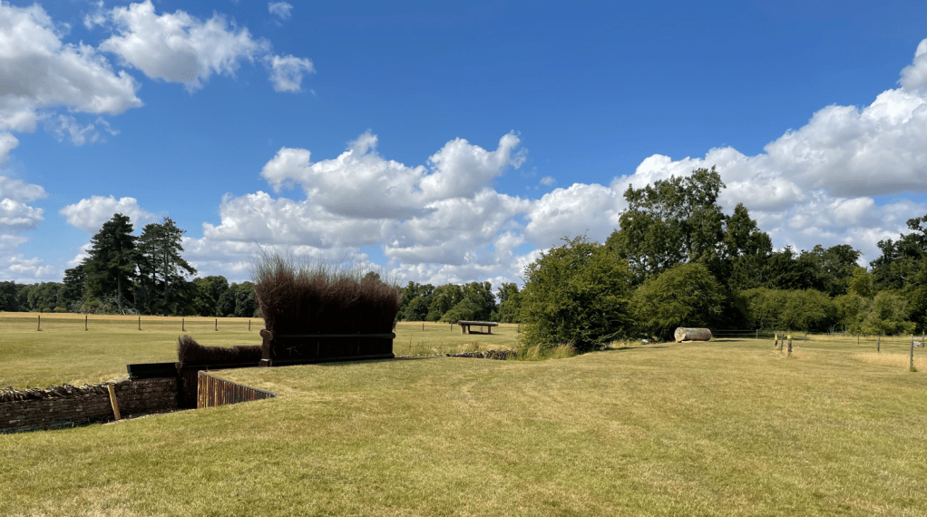
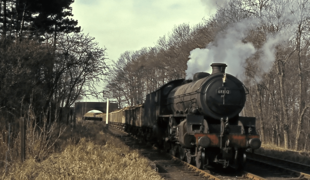
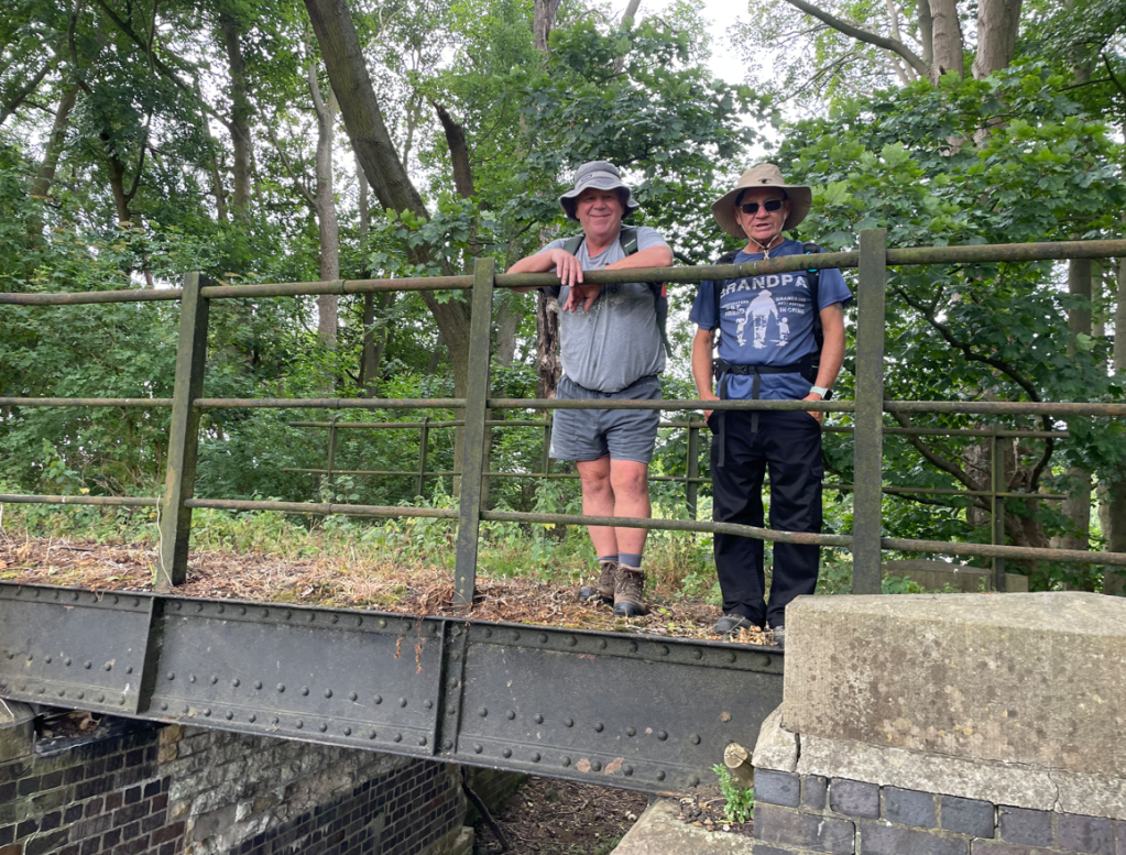
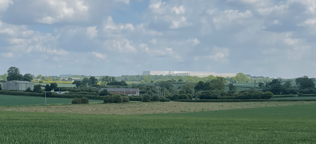
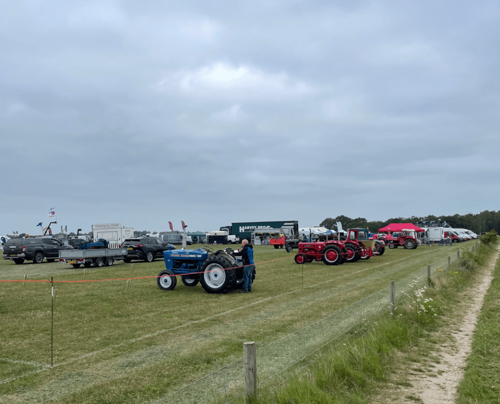
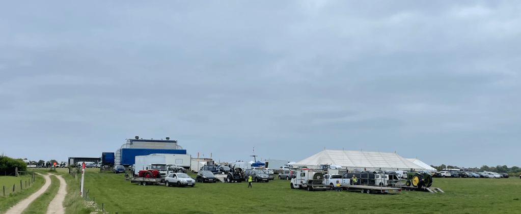
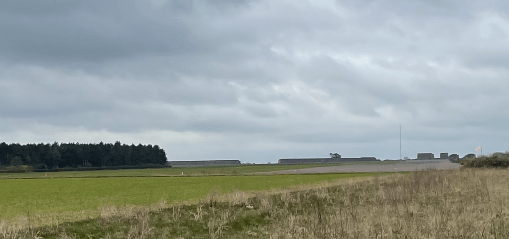
We skirted the end of the runway of Buckminster Gliding Club at former RAF Saltby. The previous time we visited here we viewed an old air-raid shelter and learned some of the history – see the blog below.
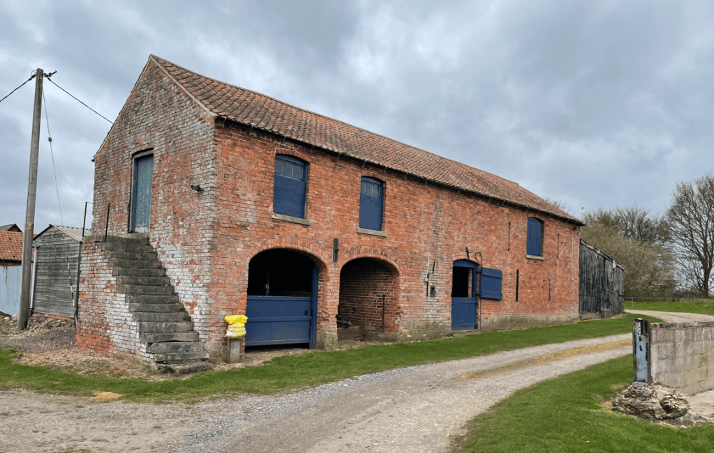
Having done some of this section previously it was good that we could both point out things we had seen before – like this nice barn.
It wasn’t long before we were walking down the narrow lane into Stoke Rochford. It had been an enjoyable walk. The rain had held off and the biting cold wind had abated.
Happy Walking! 😊🚶