Hello and welcome back to my blog 😊.
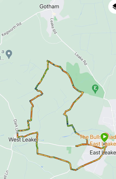
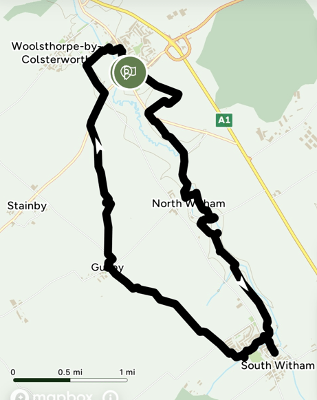
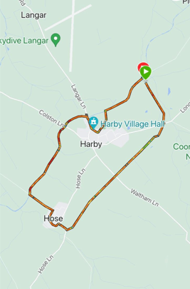
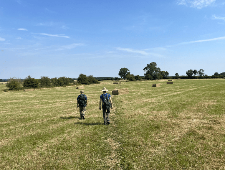
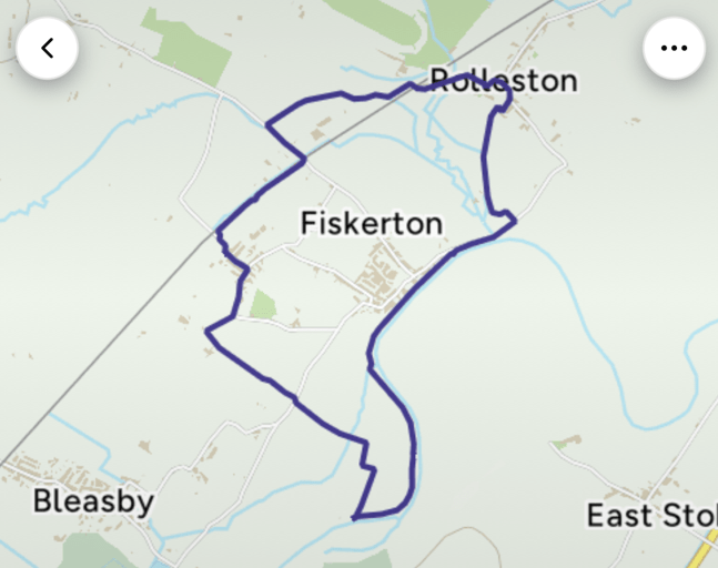
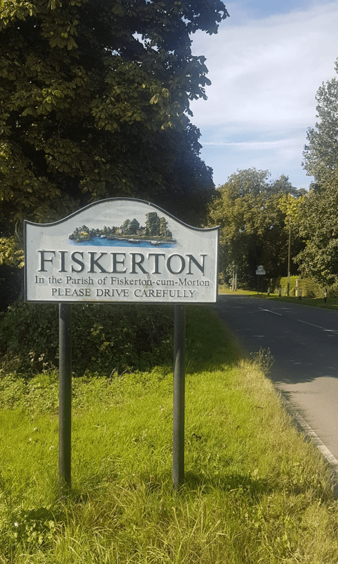
This morning myself and Angela enjoyed a 6.5 mile circular walk starting at Trent view car park, Fiskerton, beside the river Trent. Here the Trent winds lazily through a wide valley and this route, linking the villages of Rolleston, Morton and Fiskerton, followed a flat course utilising a mixture of field and riverside paths, tracks and quiet lanes.
By choice we had an early start because we like getting out and about before the rest of the world rises. It was still a chilly morning when we arrived at the car park.

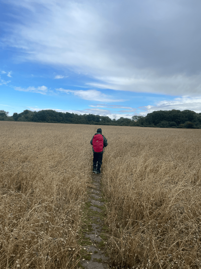
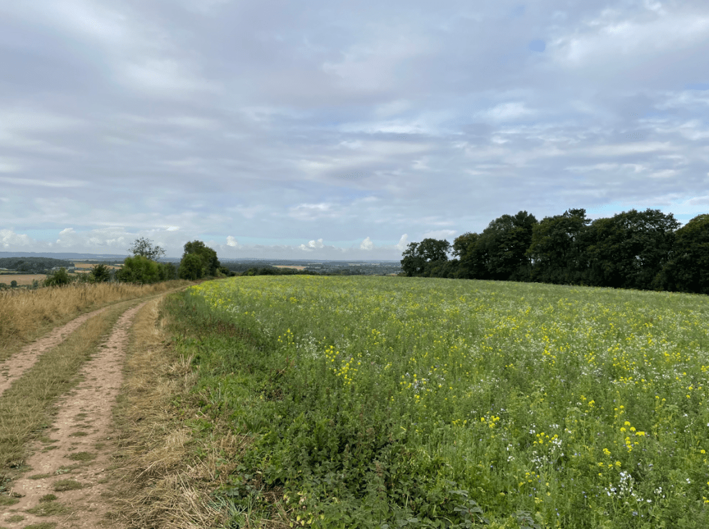
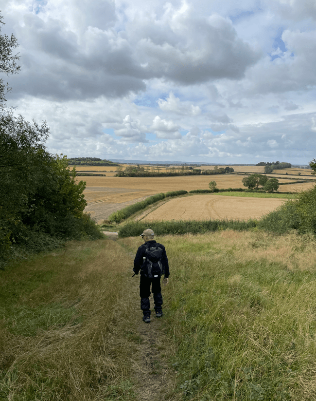
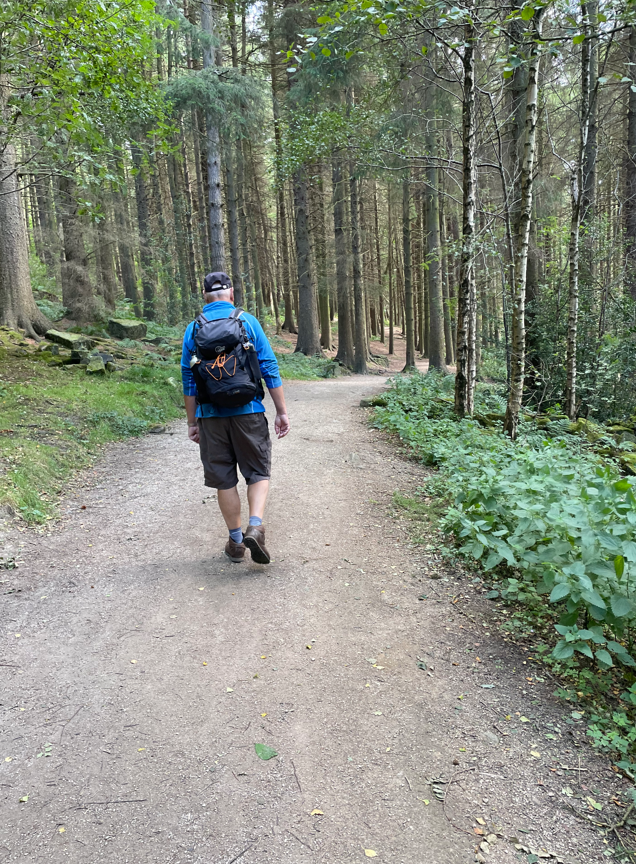
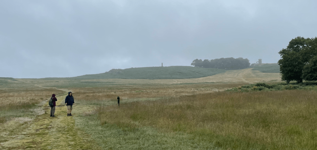
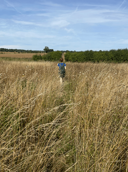
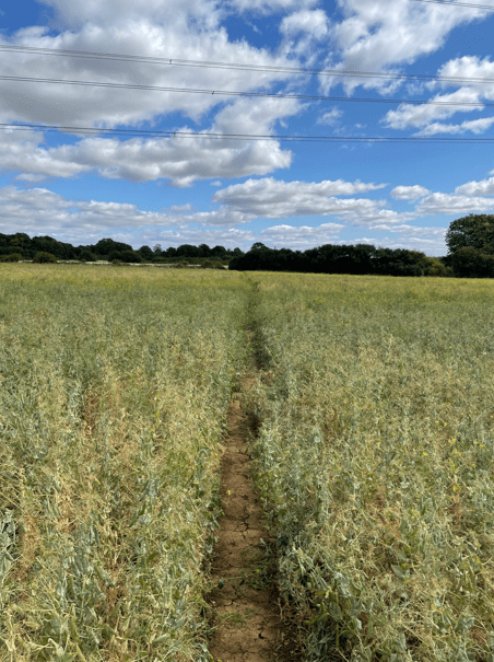
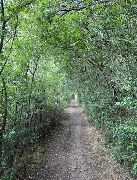
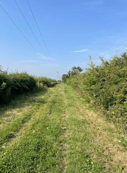
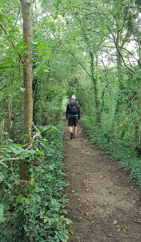
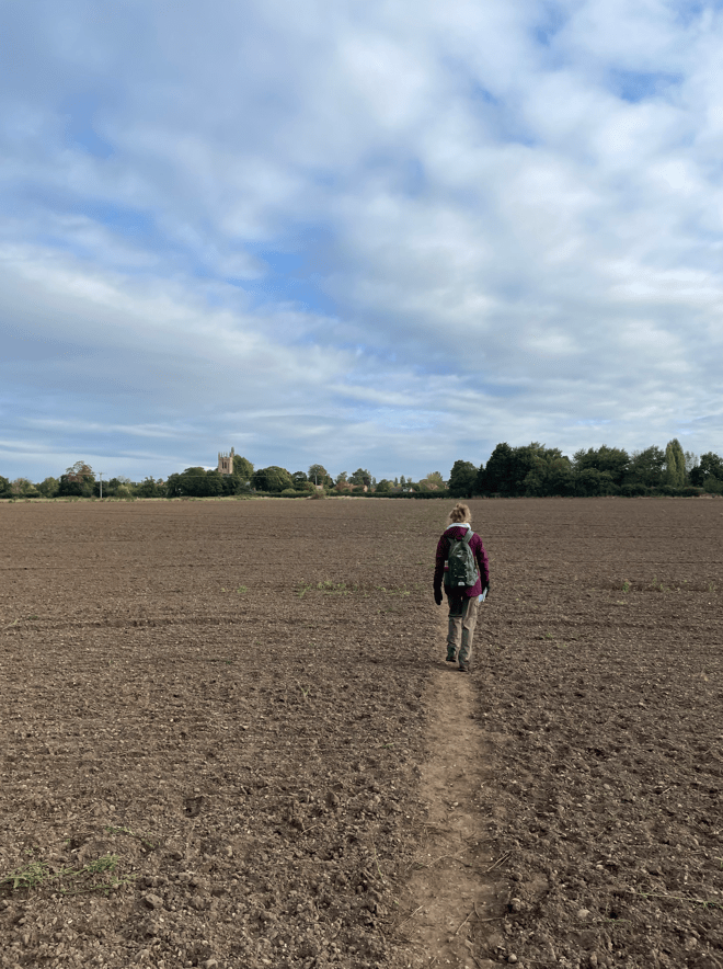
We headed along a path through trees, trying to avoid the nettles that encroached on the path in places, before reaching an open field where we could see Rolleston in the distance.
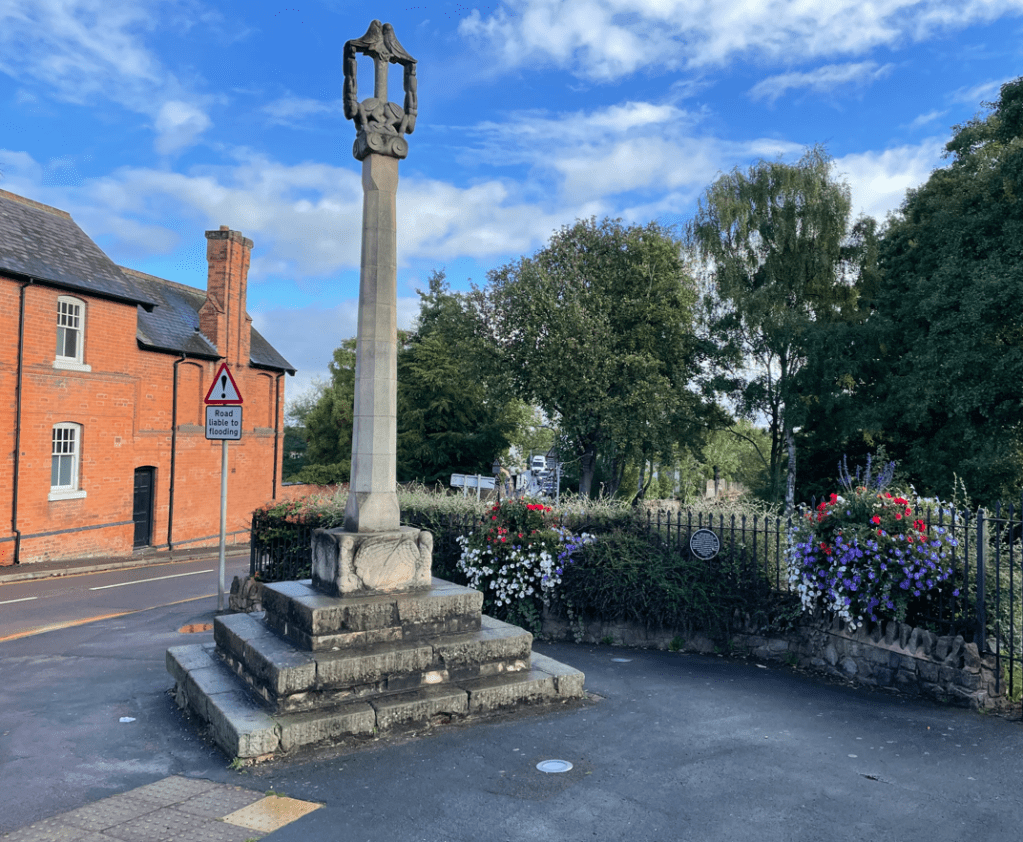
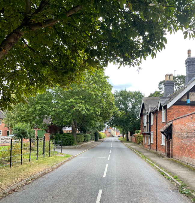
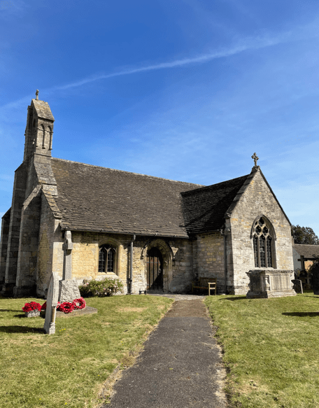
Rolleston turned out to be an interesting place because it was home (for some of her childhood) to the famous Victorian illustrator of children’s books Kate Greenaway. Later, she was a regular visitor in the summer holidays as she grew up. The village has a trail that can be followed around the village that is related to her. https://en.wikipedia.org/wiki/Kate_Greenaway
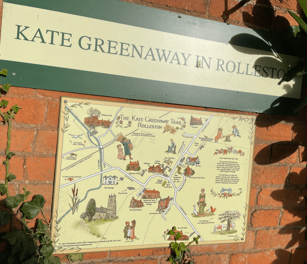

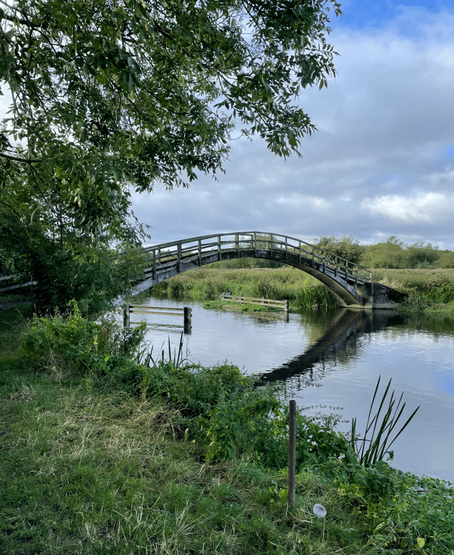
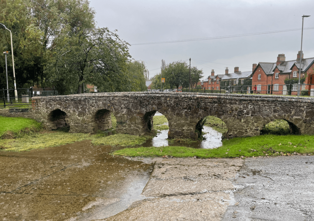
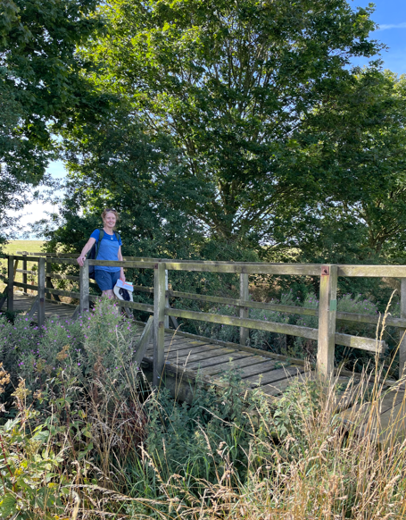
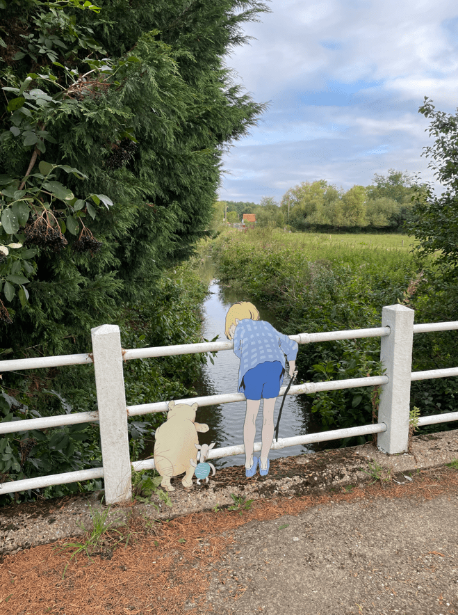
I thought that it was good that the village was remembering their famous resident. Walking out of the village we did a double take when we saw Winnie the pooh , piglet and Christopher Robin playing pooh sticks at a bridge! 😊
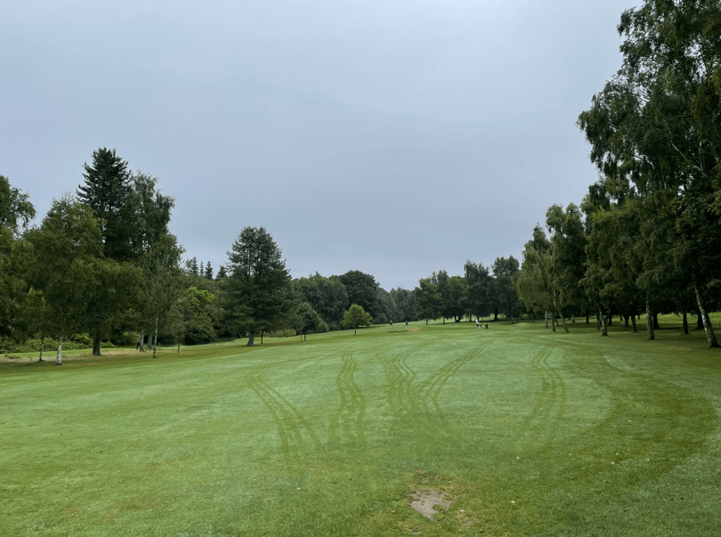
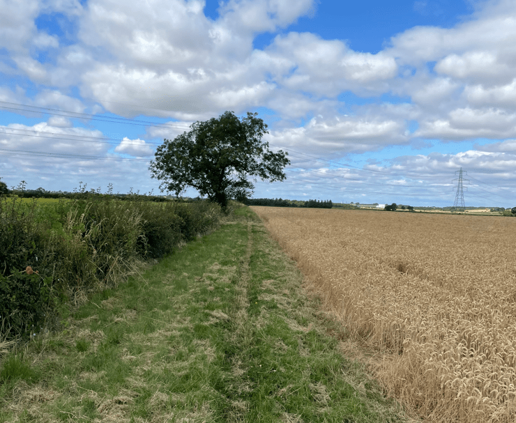
Our route took us close to Southwell race course, a popular horseracing venue.
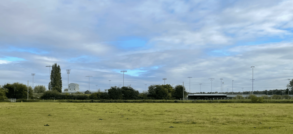

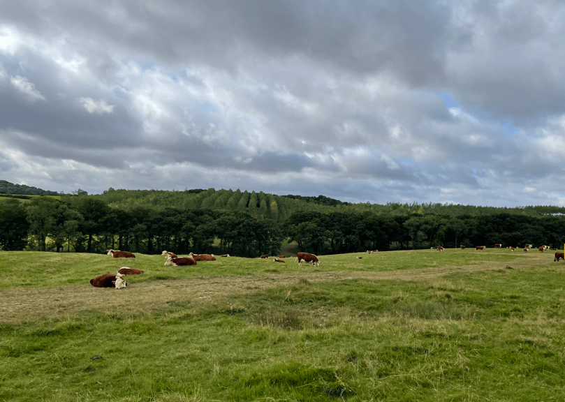
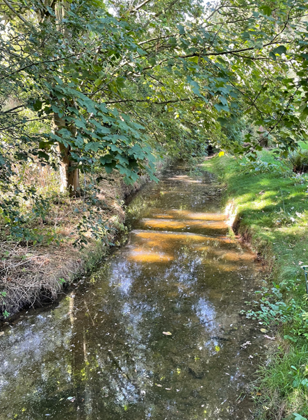
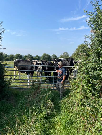
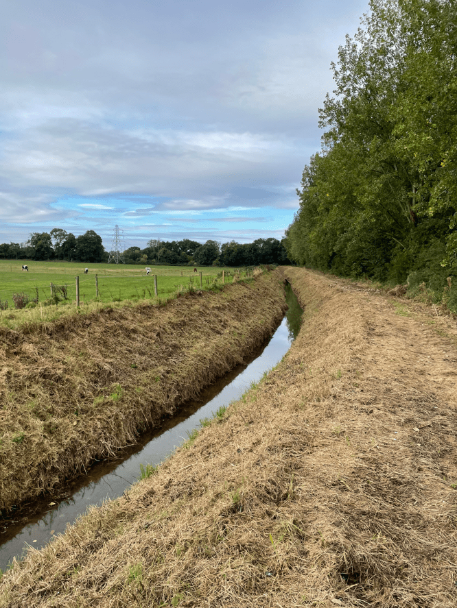
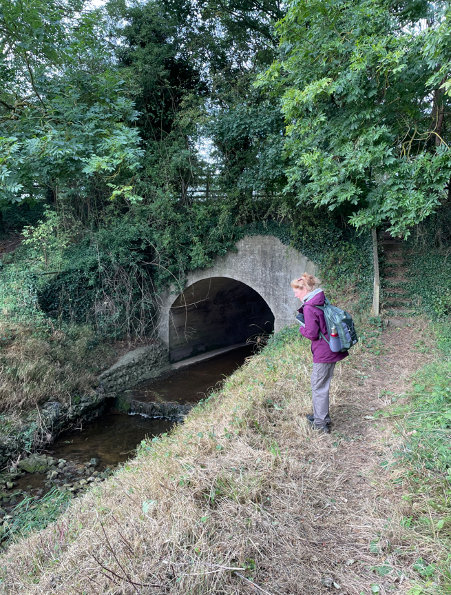
Walking through the fields close to the racecourse there were a lot of horses – no surprise that! We walked beside Beck Dyke and Angela took a particular interest when it went into a tunnel under the road.
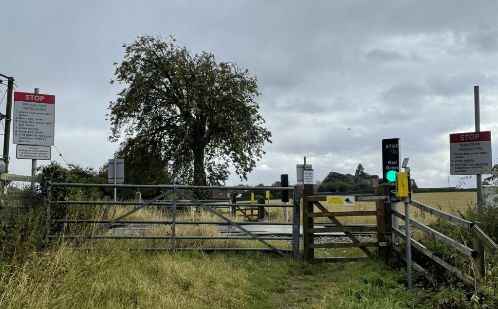
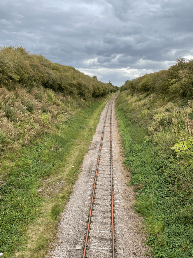
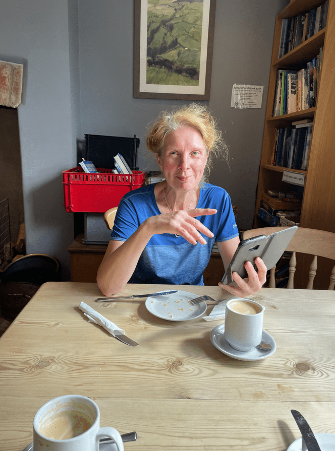
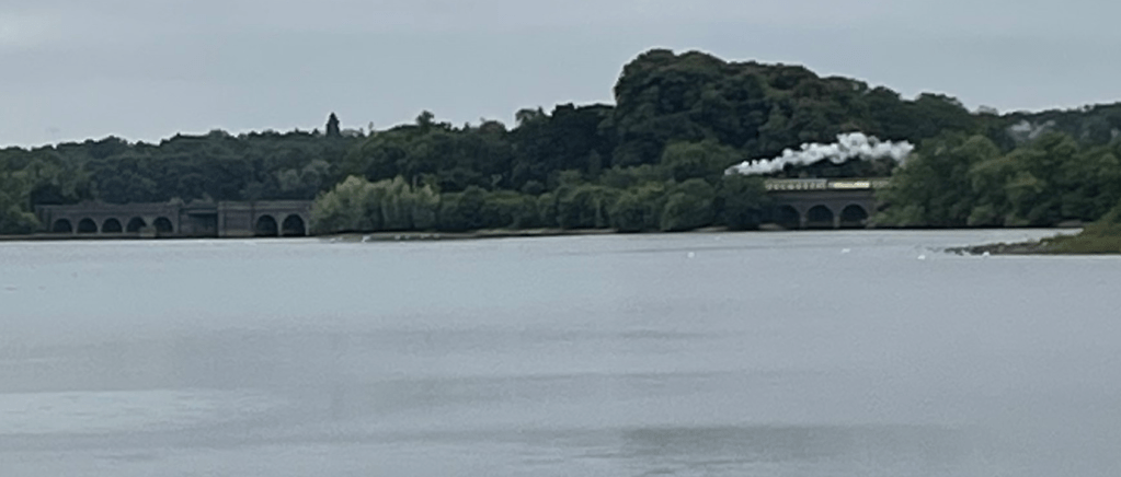
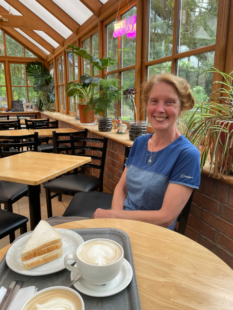
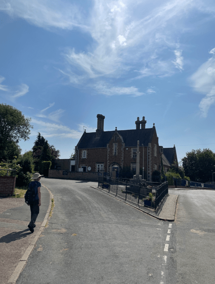
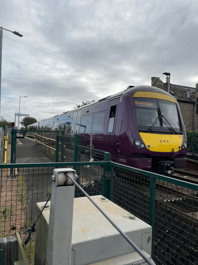
Leaving the Beck we walked along the road and waited at the level crossing (over the Lincoln to Nottingham line) for the East Midlands Railway train to pass. I had a quick coffee while we waited. We then proceeded to the village of Morton where we had a proper stop at a bench.
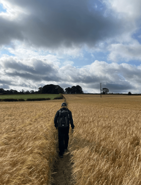
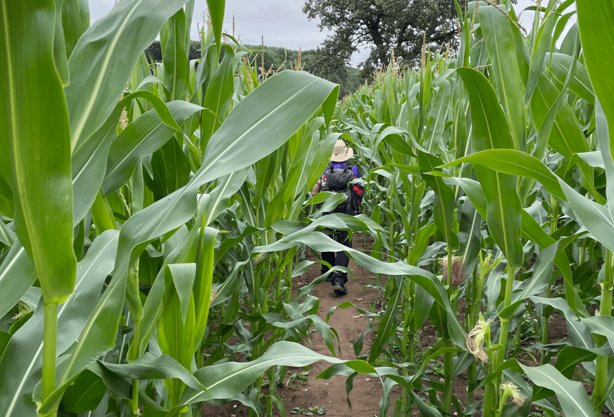
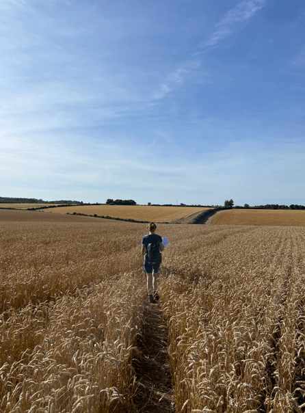
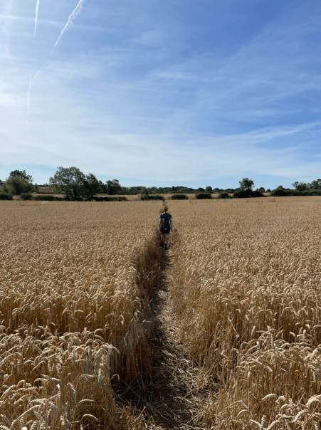
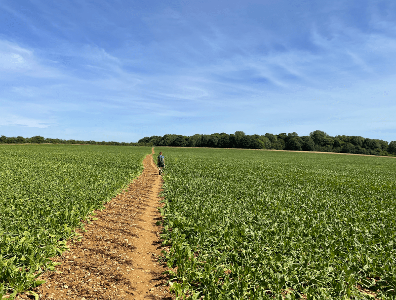
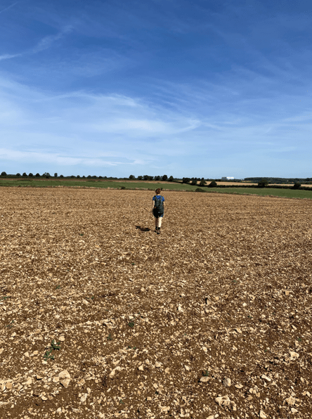
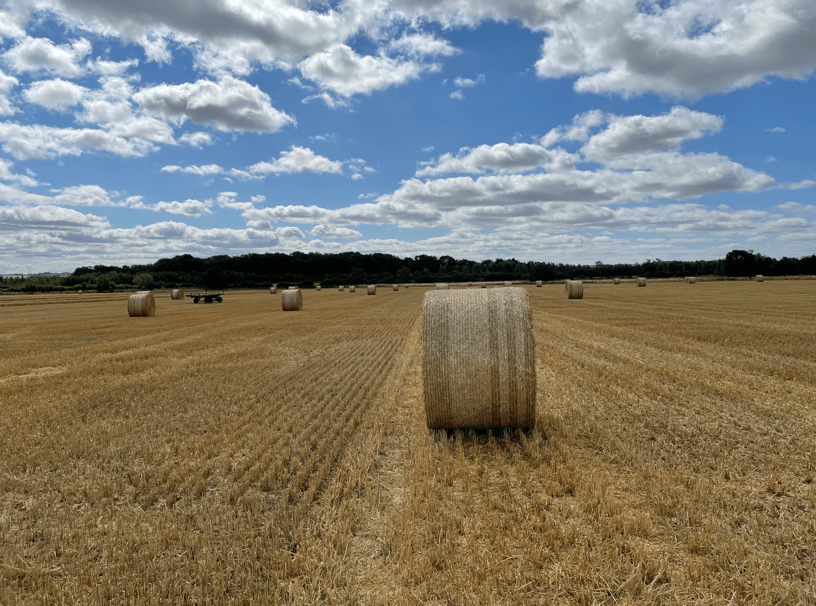
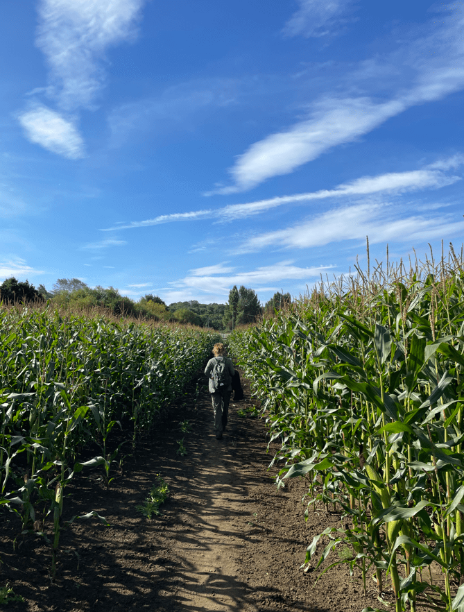
The sun was warming up the day as refreshed after a snack, we set off through fields of maize towards the river Trent.
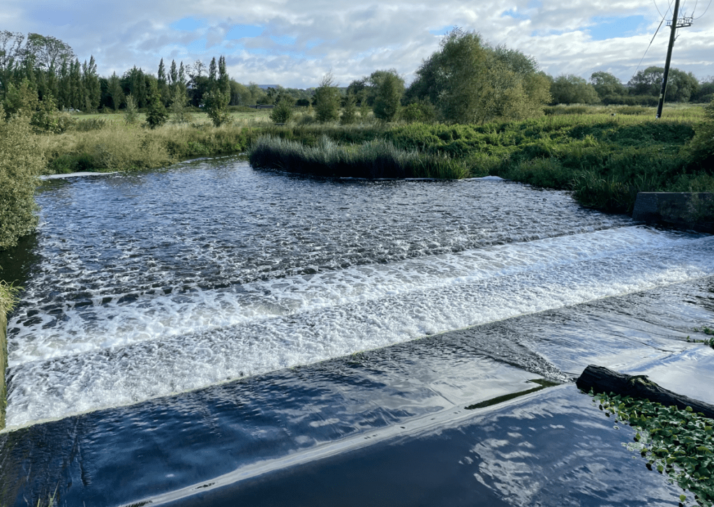
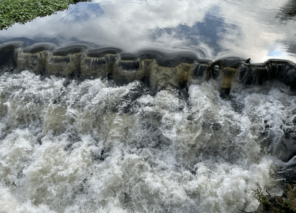
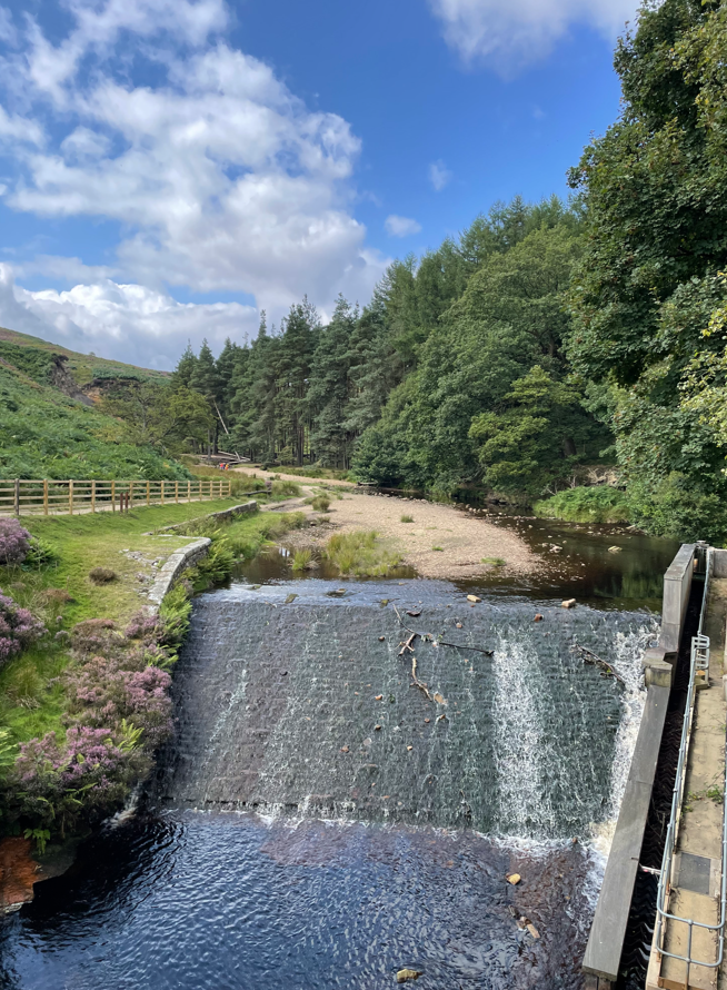
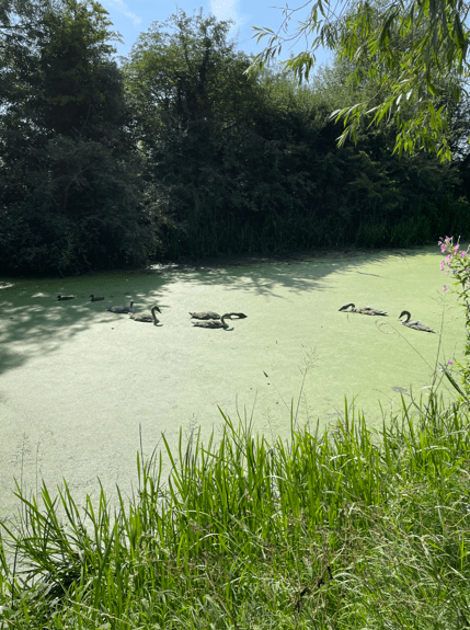
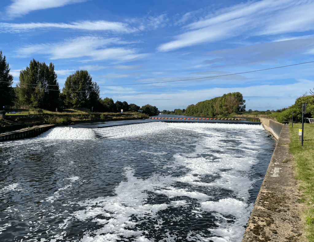
We could hear the weir before we saw it- Hazelford Lock & weir. The air had a faint sweet smell to it and there was some foam on the water.
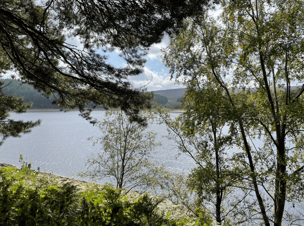
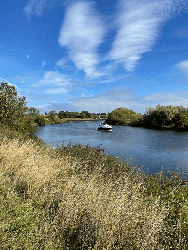
We followed the bank of the river towards Filkerton. Anglers lined the banks along the way – it does look an expensive hobby with all the kit required and tents, wheelbarrows etc to carry the kit. I can appreciate the solitude though, of sitting by the water waiting for the excitement of a bite on the line.
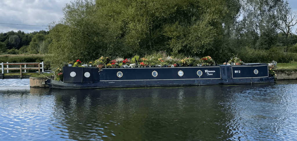
A cruiser motored majestically along the river – disturbing the Anglers.
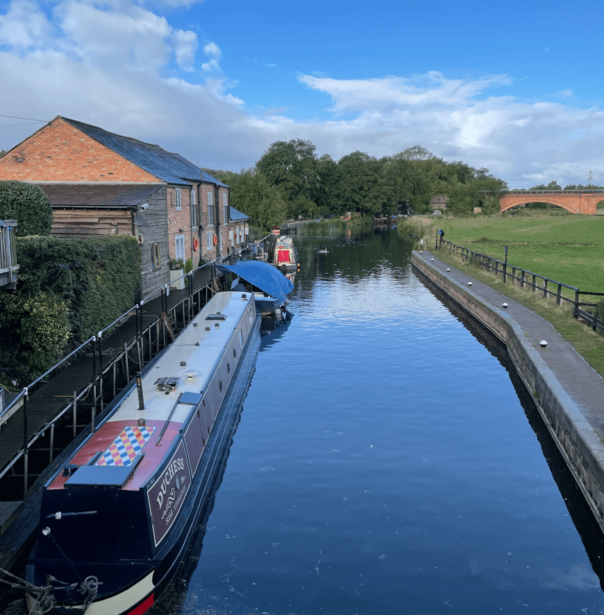
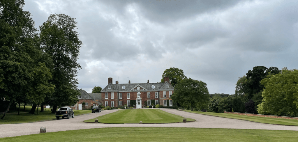
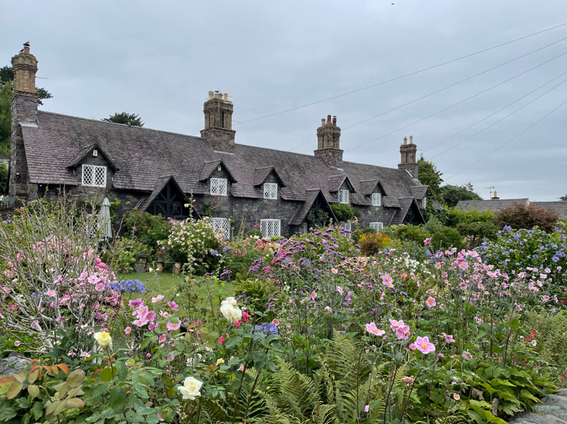
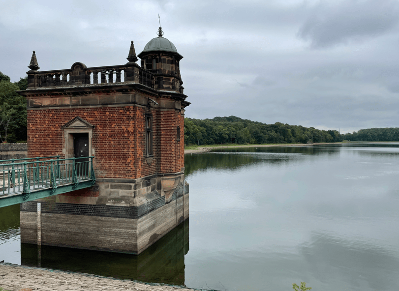
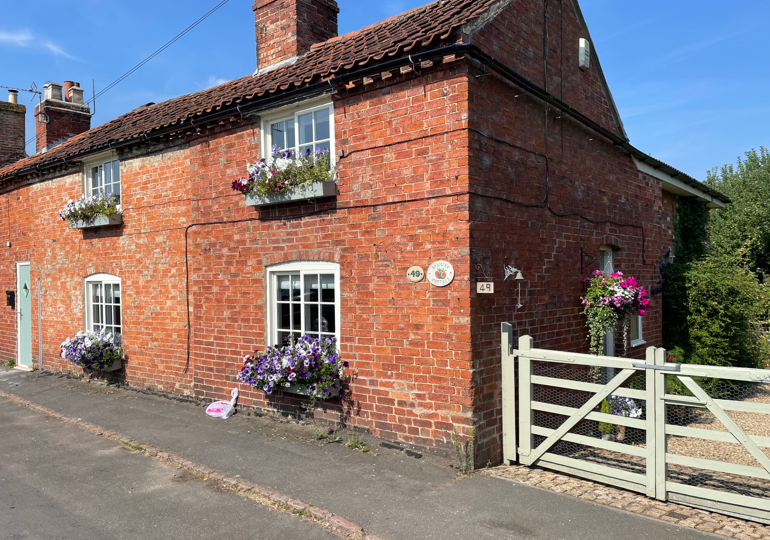
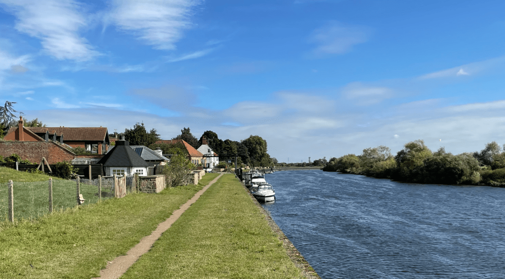
At Fiskerton we reached a promenade in front of the old maltings and loading wharf. It had turned into a beautiful morning. We admired some very beautiful houses with their own private moorings containing expensive looking motor launches – how the other half live!

Arriving back at the car we both had enjoyed the walk -a perfect option for an easy Saturday stroll.
Happy Walking! 😊🚶♂️