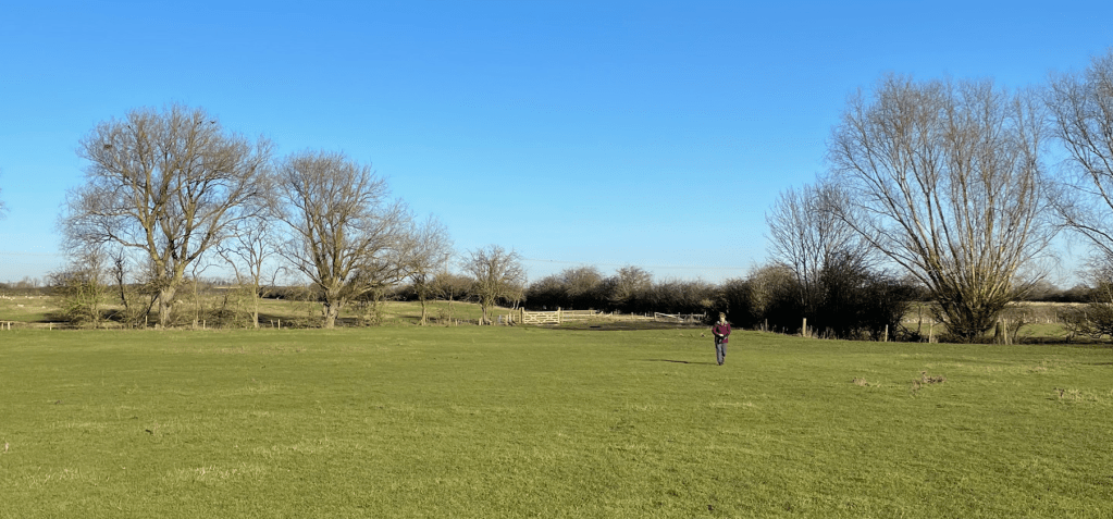
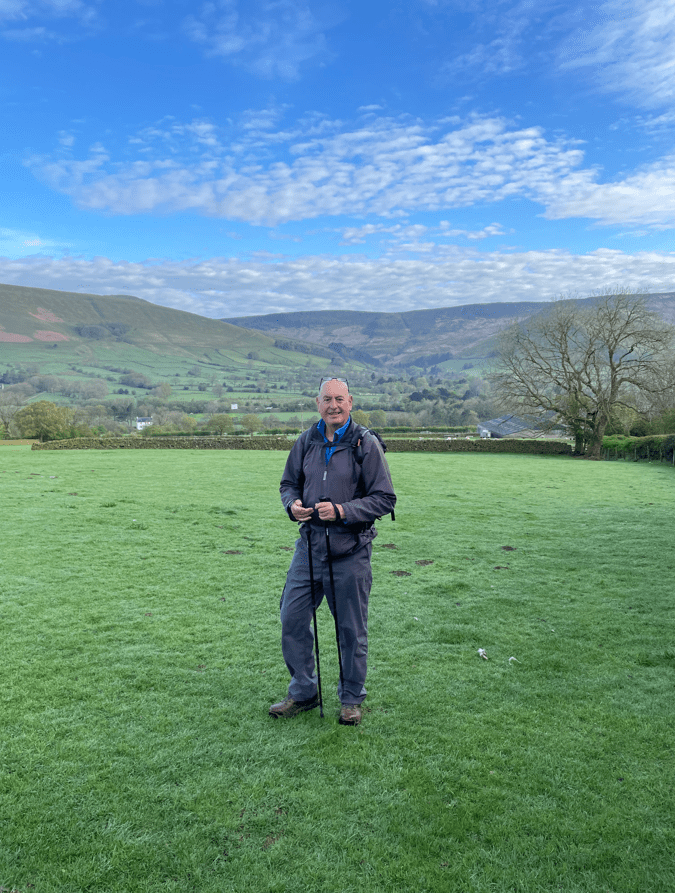
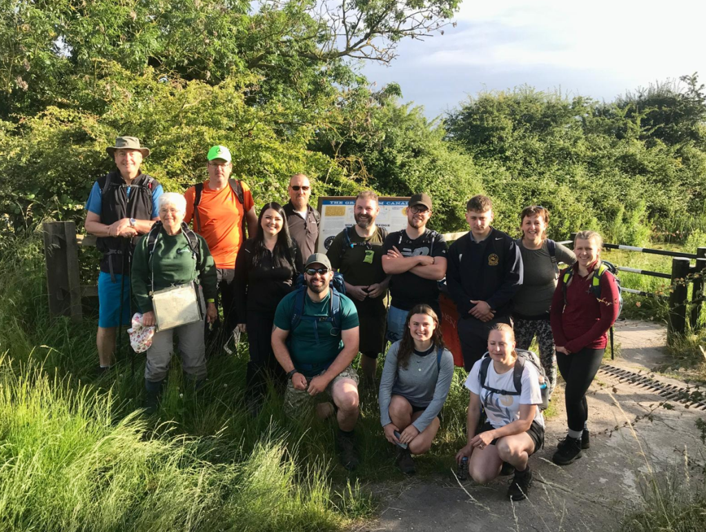
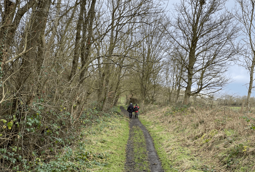
Today myself and Angela enjoyed a 6.7 mile circular walk taking in Dunham Massey and the Bridgewater canal. Angela had done the recce for the walk and thought that I might enjoy it – I did!
It was supposed to be a sunny day, but as we drove to the start of the walk it started to rain. Black clouds loomed overhead. We took a chance and carried on – the shower was short lived and the sun came out 😊.
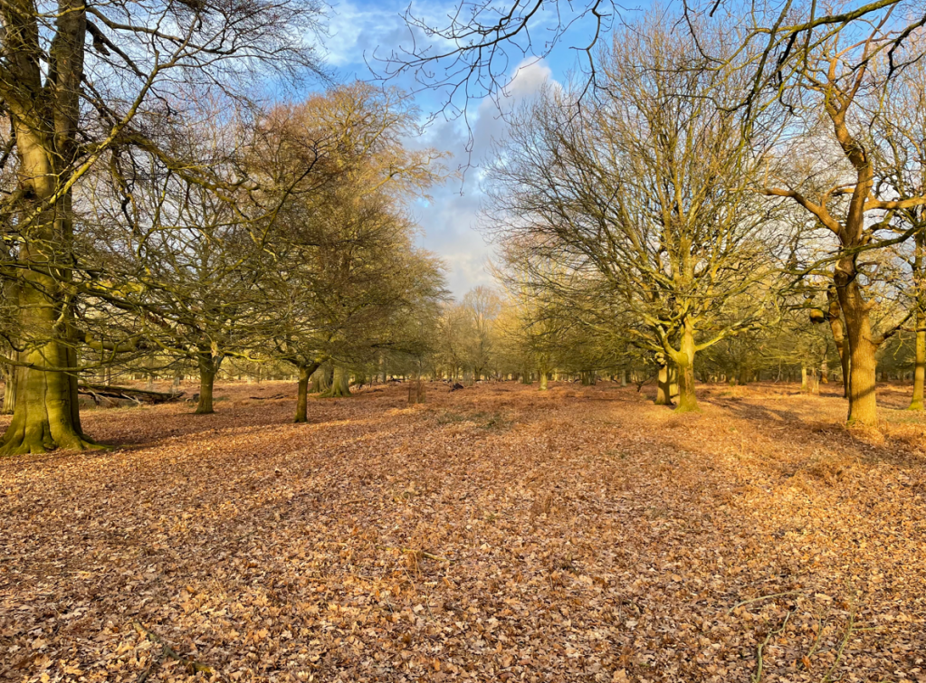
The walk initially took us through The Devisdale, an open suburban parkland where we saw a few dog walkers and then on through Denzell Gardens. I am sure that in summer the gardens would look splendid but not in January.
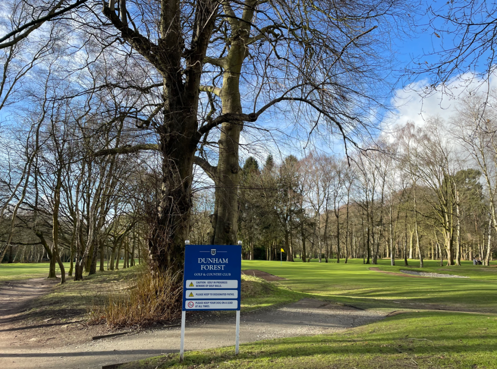
Crossing the busy A56 we entered Dunham Forest Golf and Country Club following the footpath through the golf course. No golfers were to be seen.
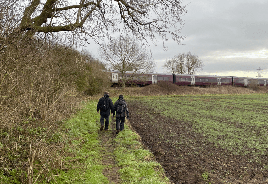
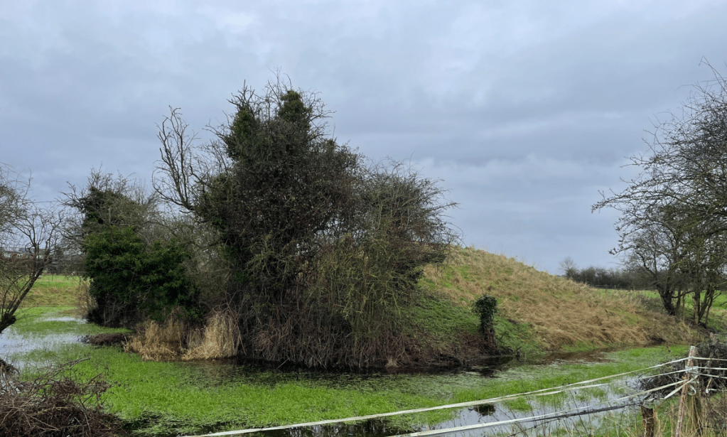
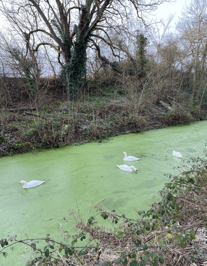
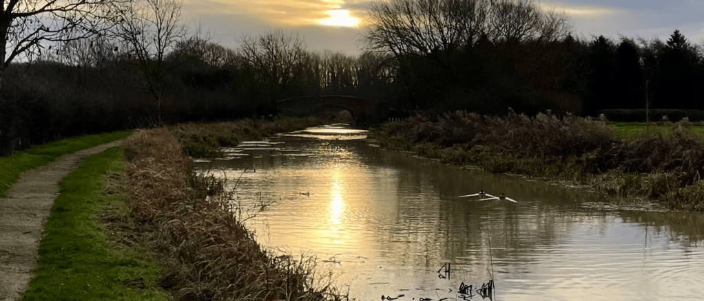
After crossing the golf course we entered farm land and the paths took us to the Bridgewater canal.
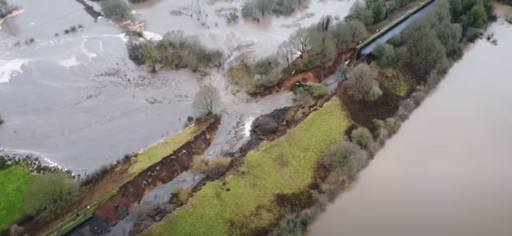
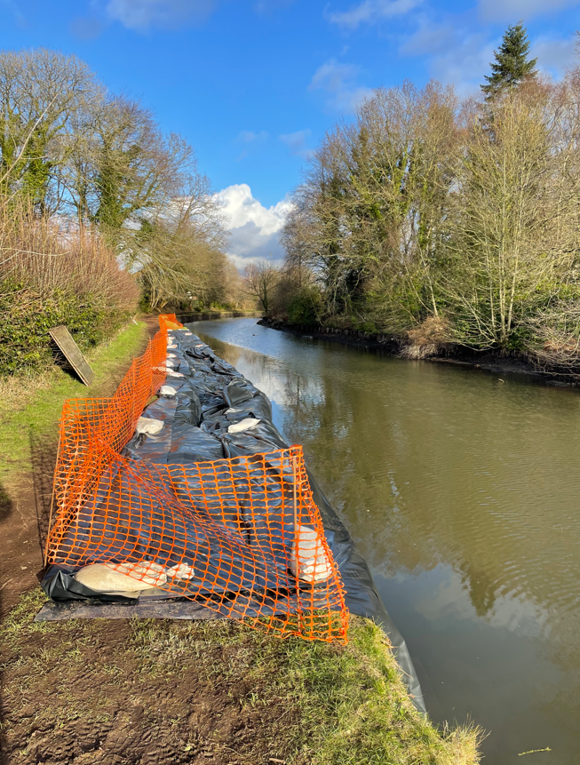
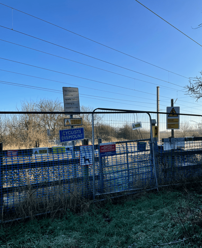
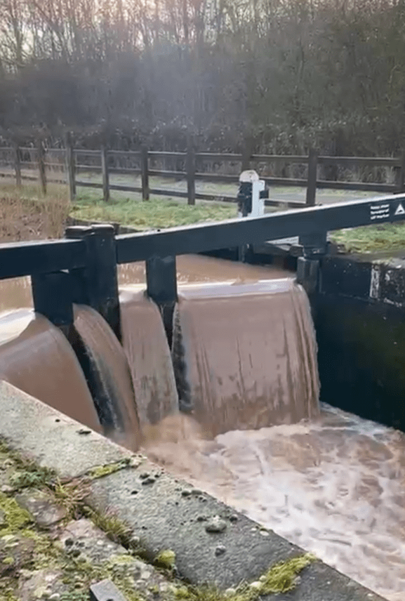
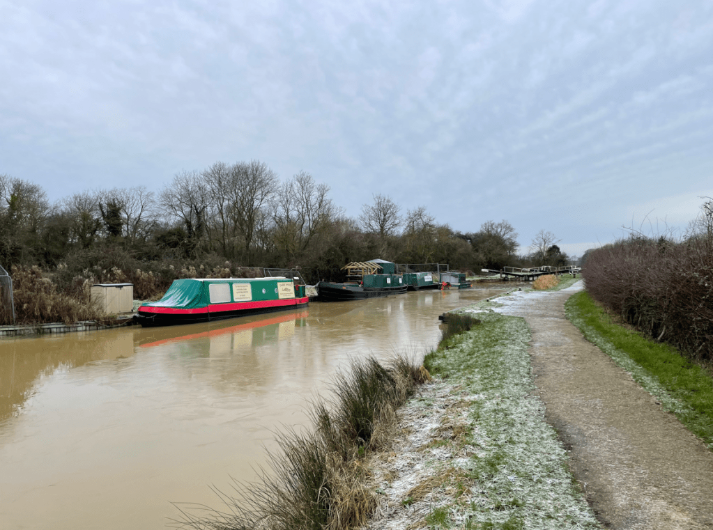
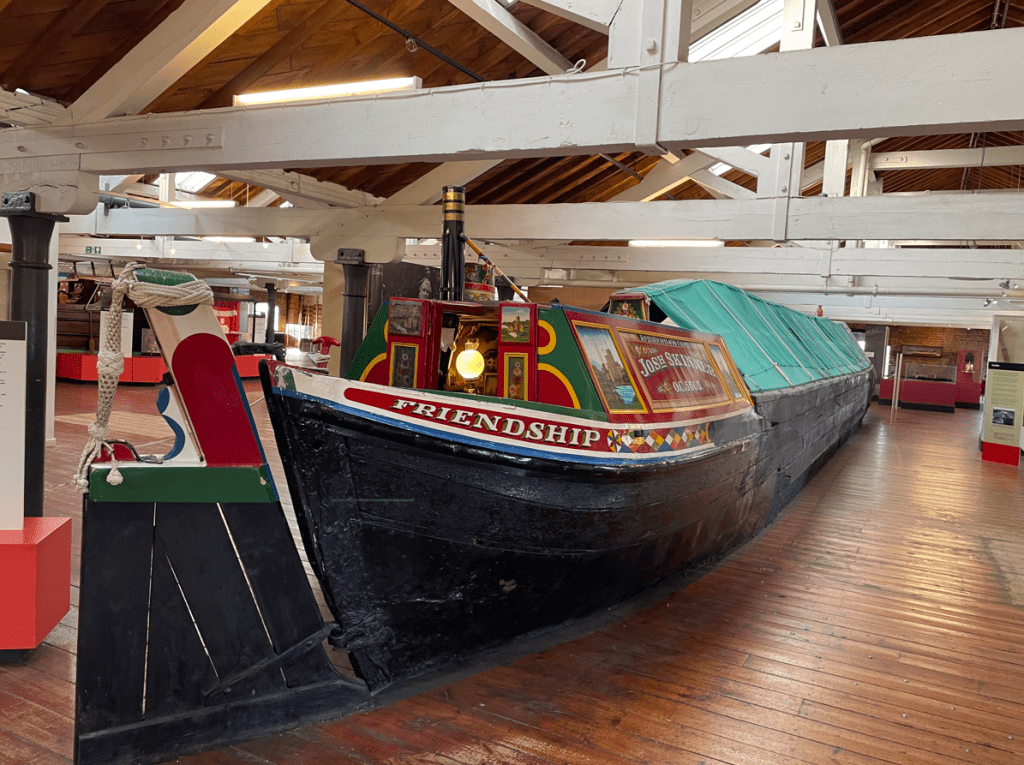
This section has been closed off and coffer dams built to contain the leak. Myself and Angela used to enjoy walking this section of the canal so we are shocked at the damage that has been done. The good news is that Josh’s boat has been re-floated and his views and subscriptions have sky-rocketed.
Grounded boats
While the canal was dry some sections of the towpath have collapsed. Water is being reintroduced now that the breach section has been isolated.
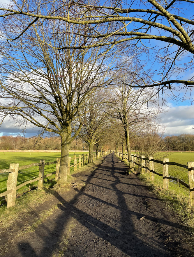
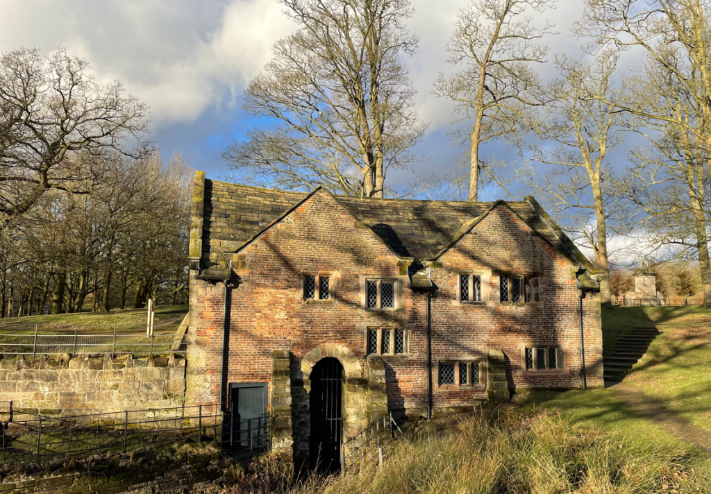
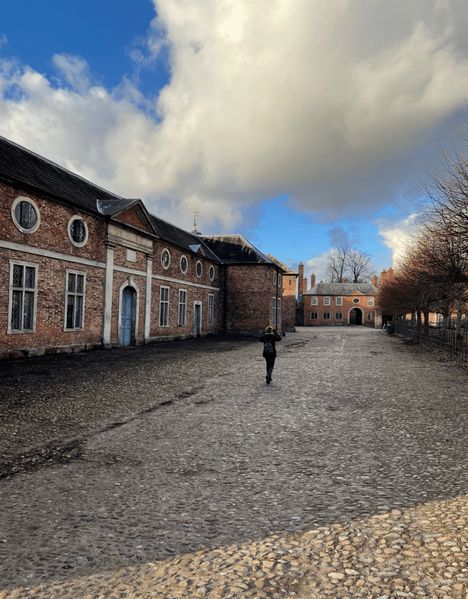
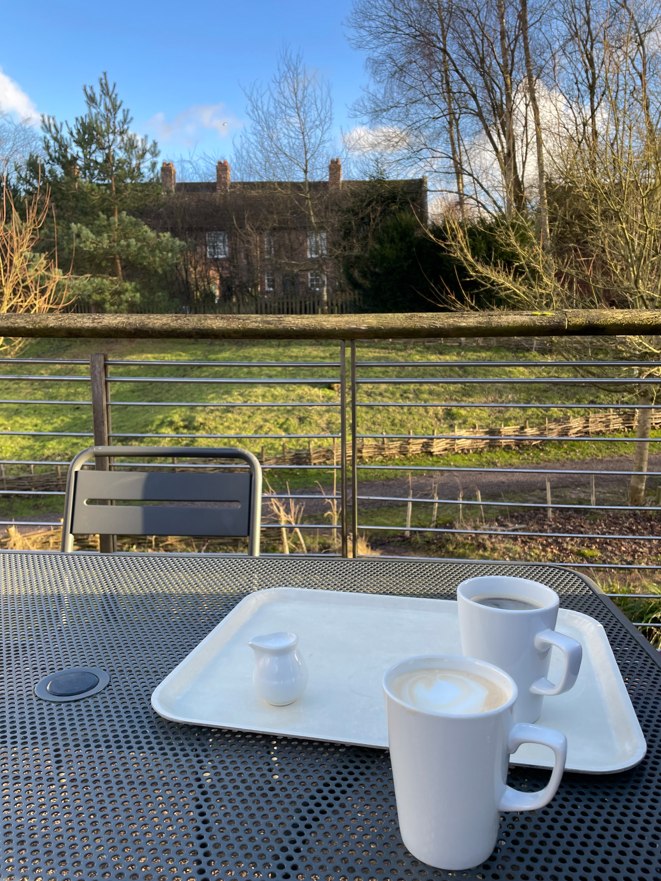
Leaving the canal we headed for the National Trust’s Dunham Massey where we could grab a coffee. A tree lined muddy path brought us into the park where we passed the old mill and the beautiful cobbled stone yard by the stable block.
Footpath to Dunham MasseyThe old millcobbled stone yard
The café was very busy but we were happy to sit outside, where it was cooler, and enjoy our coffees.
We resumed our walk going around the park. It was quiet which we both appreciated (they were all in the coffee shop!).
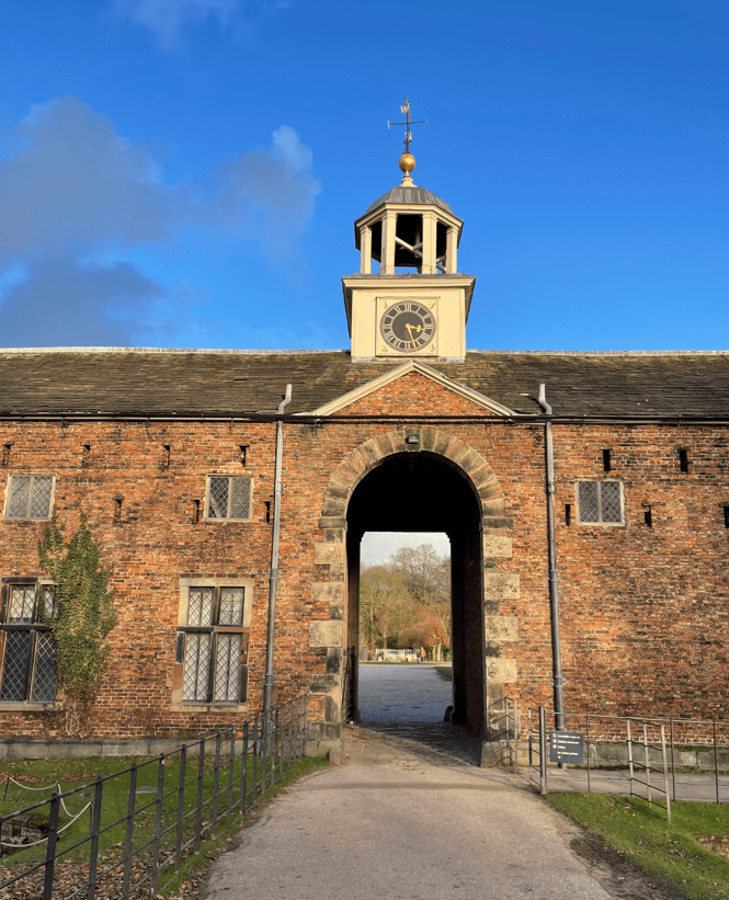
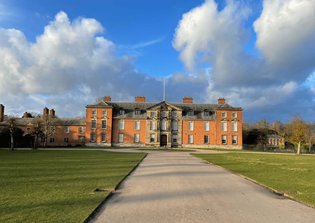
A grand clock tower -reading the correct time!Dunham Massey house
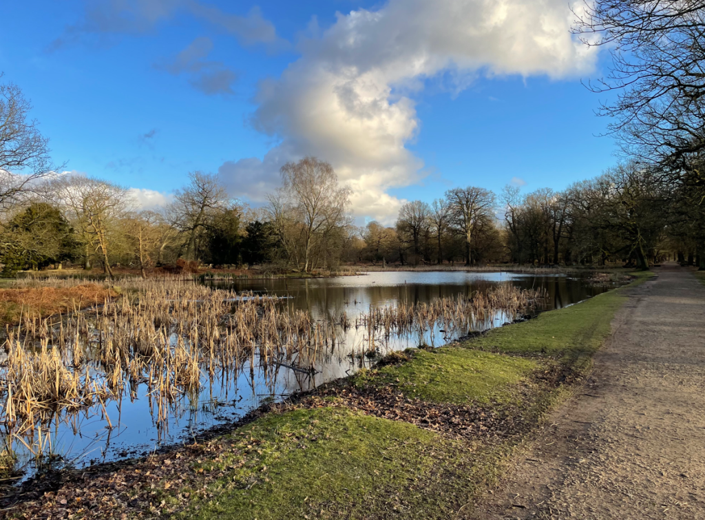
There are some lovely footpaths around the park which has deer, lakes and many trees. We were enjoying the solitude and views as we walked along quiet paths.
One of the lakes
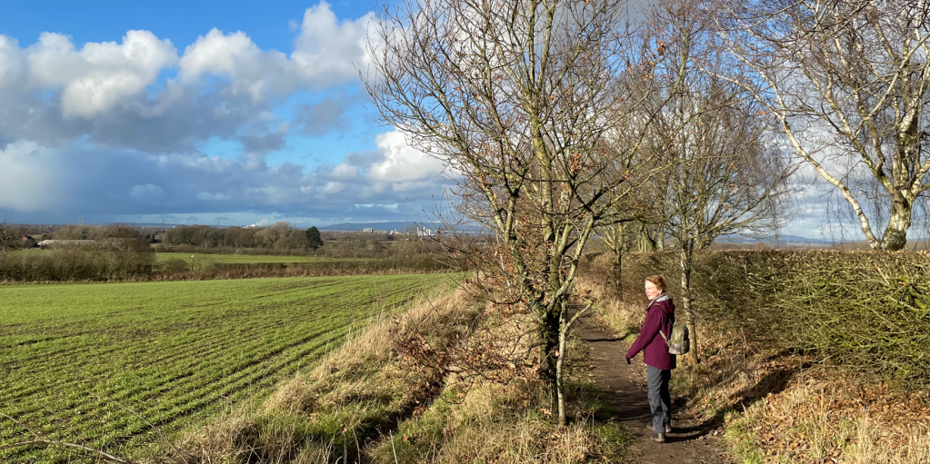
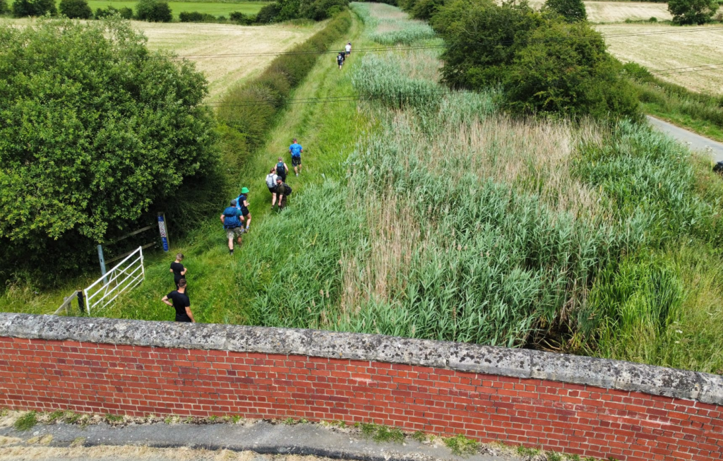
Soon we were out of the park, across the golf course and headed through The Devisdale to reach the car.
Crossing the Devisdale
It had proven a nice walk, one that we will no doubt do again in the future.
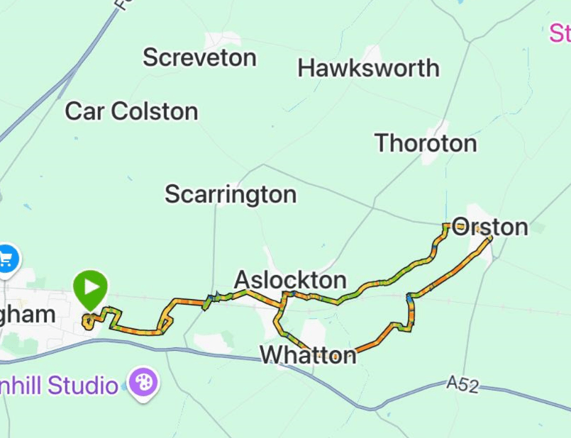
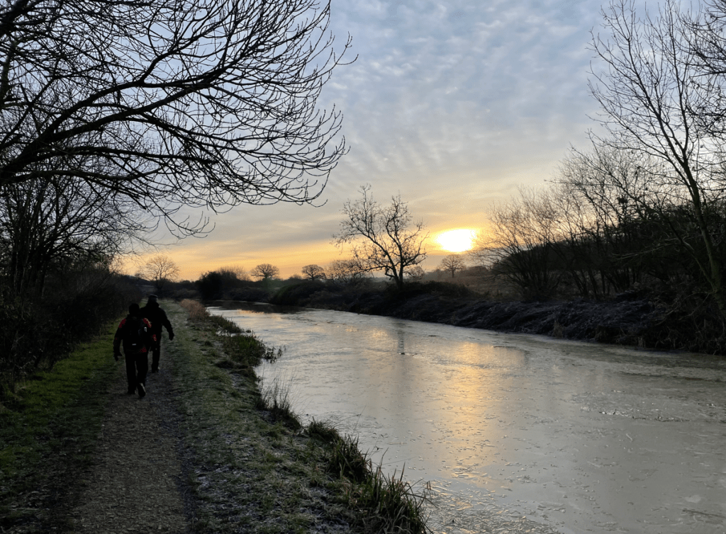
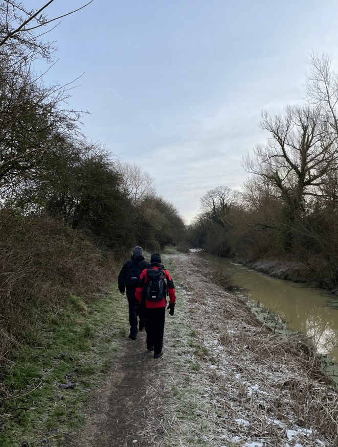
Today the Three Amigos met up and enjoyed an 11.5 mile circular walk from Bingham to Aslockton, Whatton-in-the -vale and on to Orston. We returned following the river Smite to Aslockton and back to Bingham. It was a chilly morning and we were expecting rain – a pre-cursor to named storm Eowyn which is arriving later today.
Leaving Bingham
Leaving the streets of Bingham we set off following paths along fields passing close to the Skegness to Nottingham railway line.
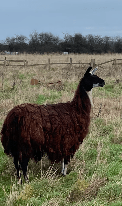
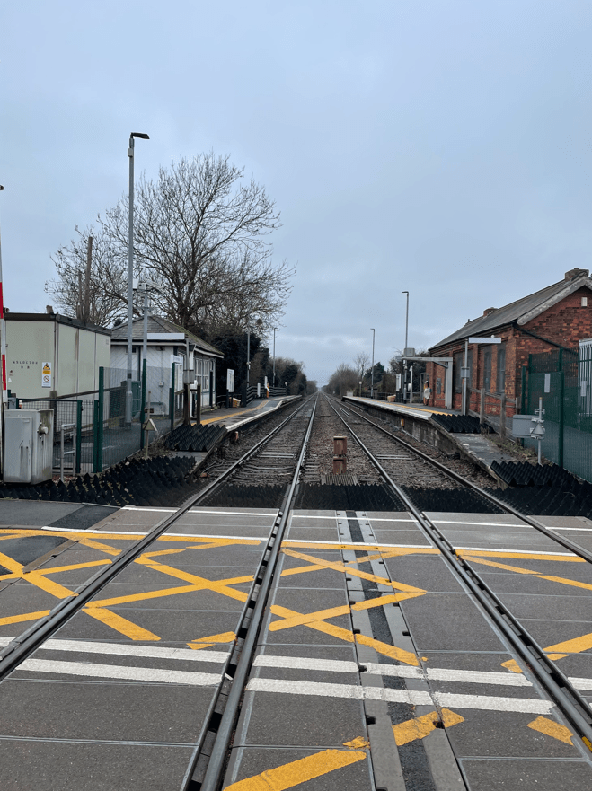
We went through a ramshackle farm where we were surprised to see a Llama – it was surprised to see us too! Following our route through a new housing estate we eventually crossed the railway at the Aslockton station level crossing.
Level crossing at Aslockton railway station
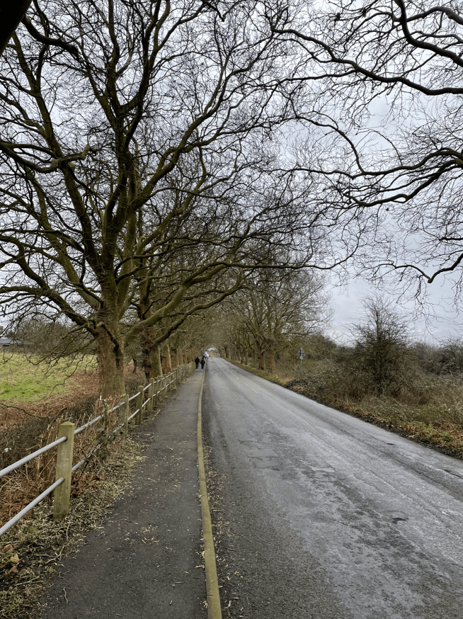
Walking through Aslockton village it was a short walk to enter Whatton-in-the Vale and then leave via a nice tree-lined road.
Leaving Whatton
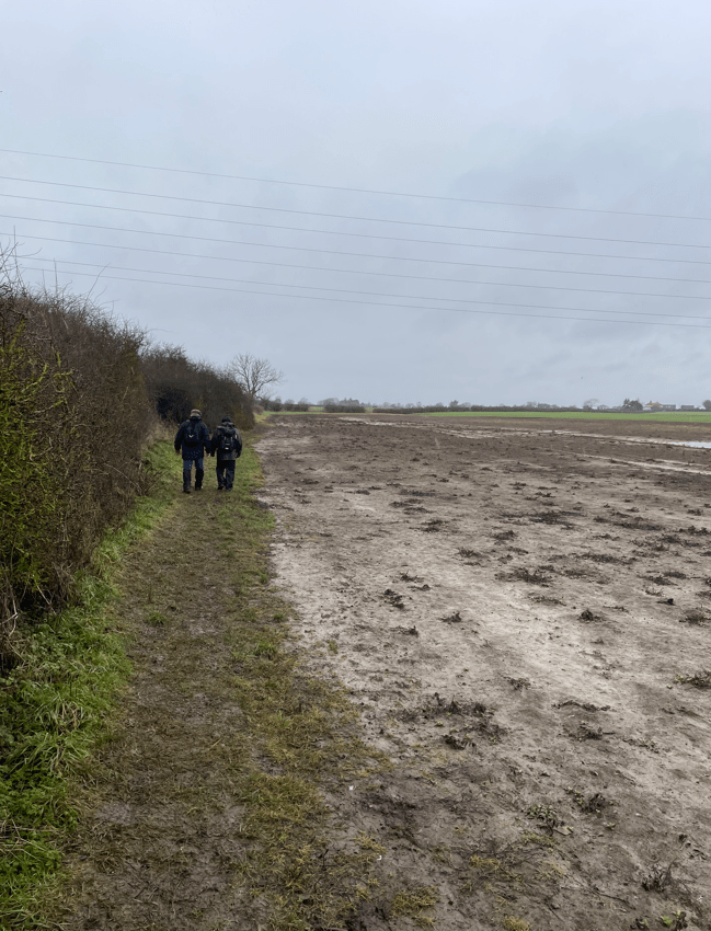
By this time the rain had commenced although thankfully, it was only light showers. Leaving the road we followed a bridleway and fields towards Orston. Here we went wrong slightly and had to double back across a field to enable us to get under the railway line via a tunnel. It was getting quite muddy underfoot at this stage.
There were lakes either side of our path. Mick saw a sign and it said they were a SSSI (Site of Special Scientific interest) site and were Plaster pits. It turns out that in the second half of the 19th century there were gypsum mines here and a factory making plaster from the Gypsum. Between 1868 and 1871 it accounted for 8% of Britain’s plaster production.https://nottsvillages.blogspot.com/2015/07/orston.html
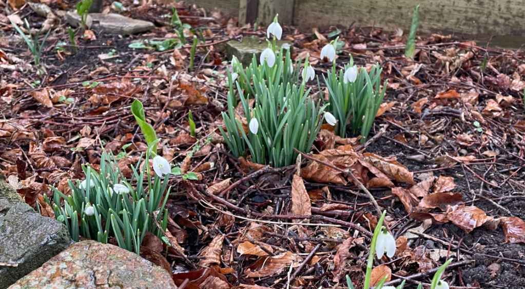
Orston village has an impressive large village hall. We were looking for a bench to take a break and we found one not far from the hall. I was ready for a scotch egg and a Bovril. Refreshed, we continued through the village where we noticed snow drops in a garden – the first signs of spring 😊. A welcome sight.
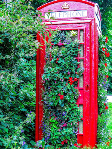
The old telephone box in the village is said to be the largest hanging basket in the East Midlands. There were no flowers today but the baskets were ready for spring.
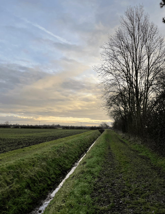
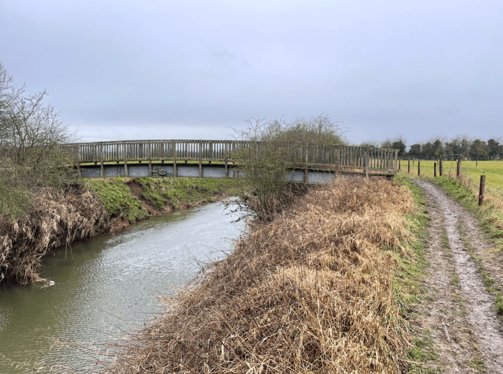
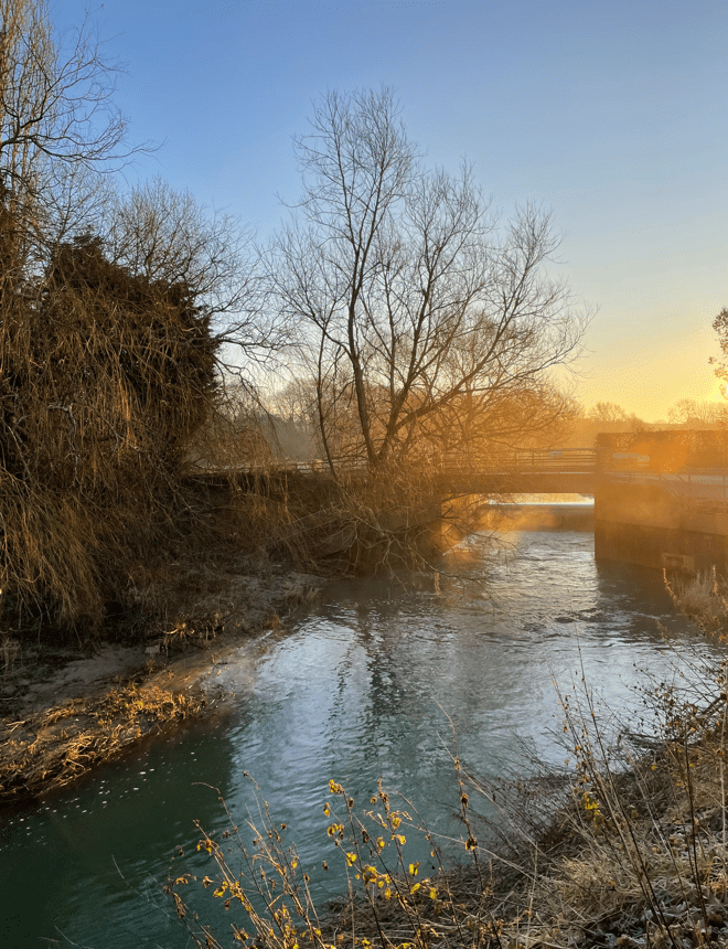
Not far out of Orston we crossed a bridge over the river Smite and turned left to follow the embankment for some distance.
The river Smite and Gibson bridge
This section of the walk proved very muddy and slowed us down because it would have been very easy to slip over. A fallen tree had to be climbed over.
Muddy fields
Arriving back into Aslockton we passed a large earth mound known locally as ‘Cranmers Mound’ after Thomas Cranmer who was born in Aslockton in 1489. He was appointed Archbishop of Canterbury by Henry V111 and oversaw the reform of the church in England and the break with Rome. He was later condemned as a heretic by Mary Tudor and burned at the stake in Oxford in 1556.
Cranmers Mound
Legend has it that Thomas, when he was a boy, used to climb the mound to hear the distant bells of Whatton church. The original purpose of the mound has been lost with time.
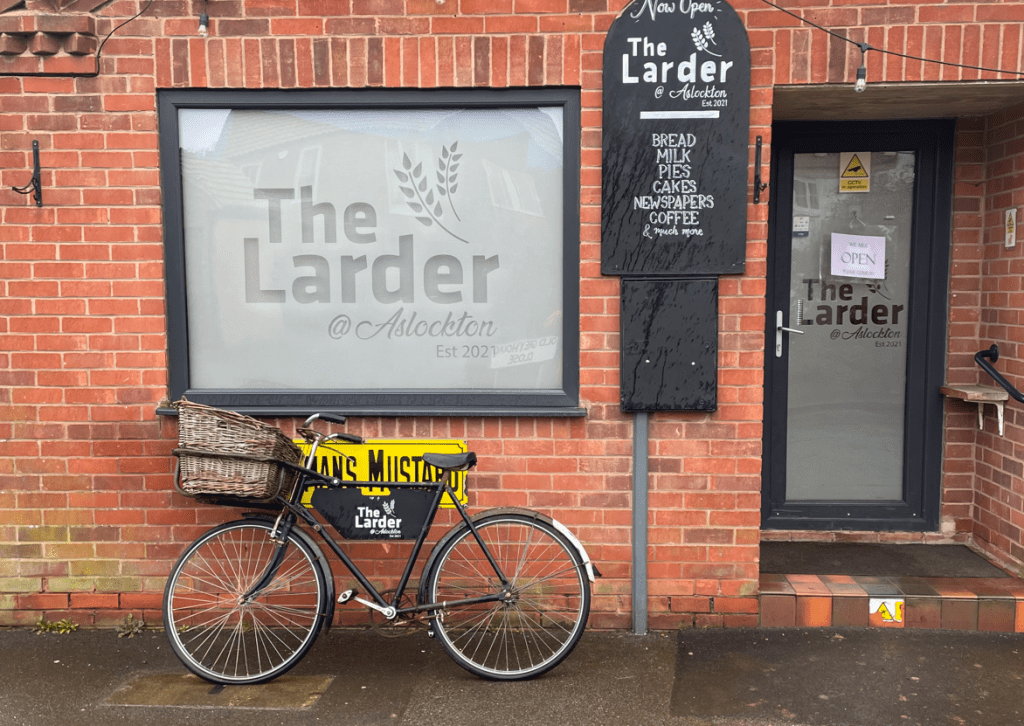
We continued through Aslockton passing the pub ‘The Cranmer Arms’ and the village shop which had a delivery bicycle parked outside. I wondered whether it was actually used or just ormanental?
Leaving Aslockton we re-traced our route back to Bingham pleased that we had escaped any heavy rain.
It had been a good stretch of the legs and we had learnt some more local history.
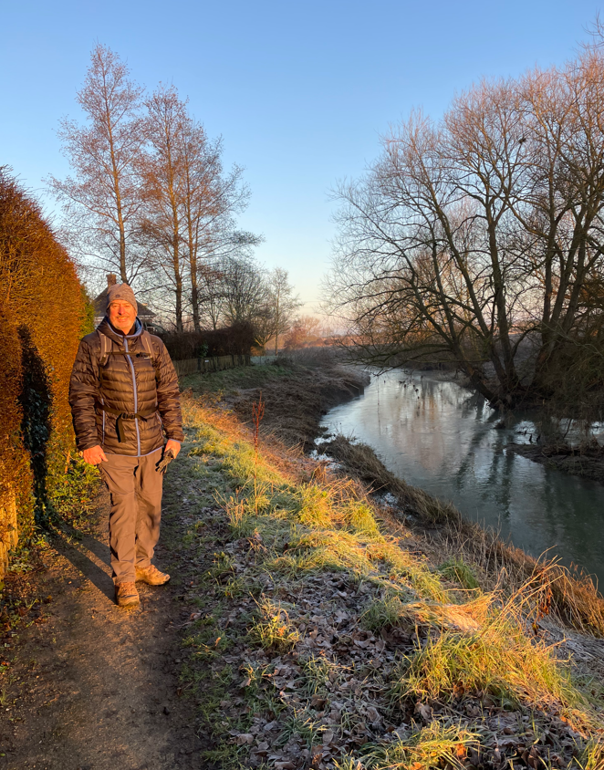
Today, myself and Angela enjoyed a 10.8 mile circular walk from Long Bennington passing through Claypole and Dry Doddington along the way.
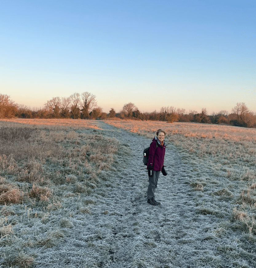
It was a blue sky, but frosty, morning as we set off. We were looking forward to a nice walk.
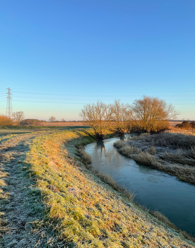
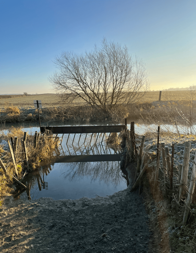
We headed for the river Witham and followed it, walking along the raised embankment.
At the start along the river
We could see the tide mark where the river had been high during the recent floods. The embankment was reasonably dry, and where it was wet, the water had frozen- we were grateful for that.
The river Witham
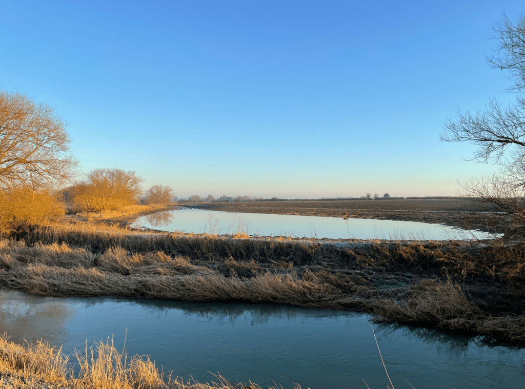
Fields adjacent to the river showed evidence of the floods.
Flooded field next to the Witham
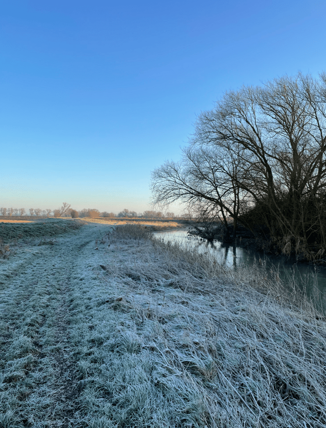
The river meandered along, turning here and there. There is something nice about frosty grass on a sunny morning.
Along the river we came to a point where a metal gate was in place – a cattle watering point, although the cattle were tucked up in their barn for the winter months.
Cattle watering point
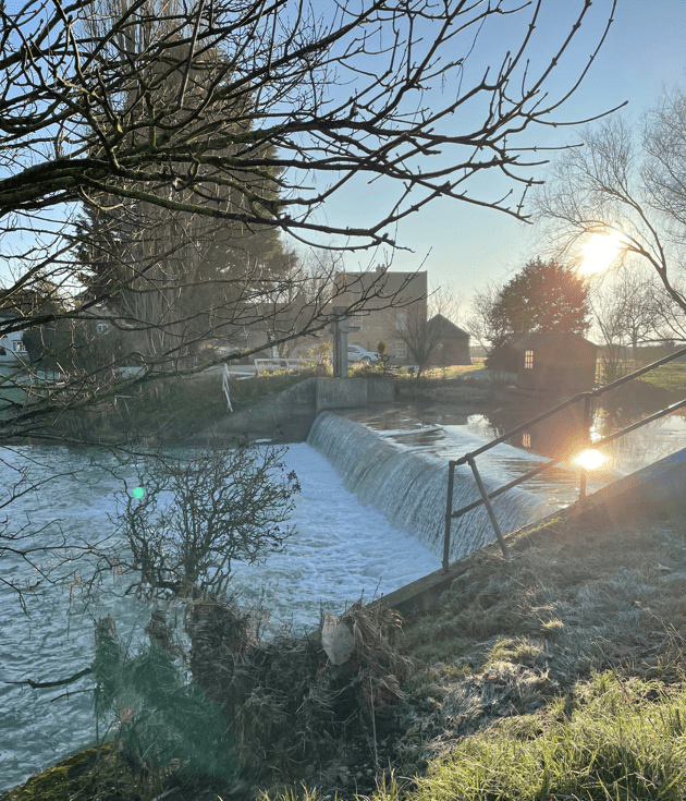
Further along we passed a nice weir.
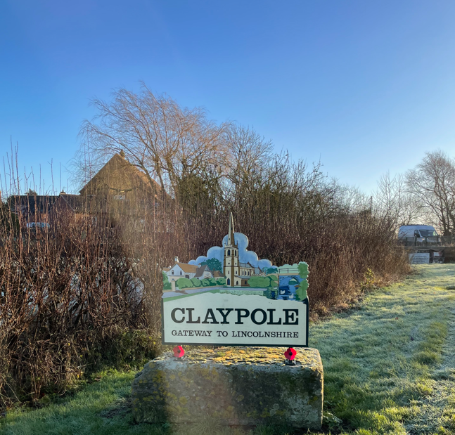
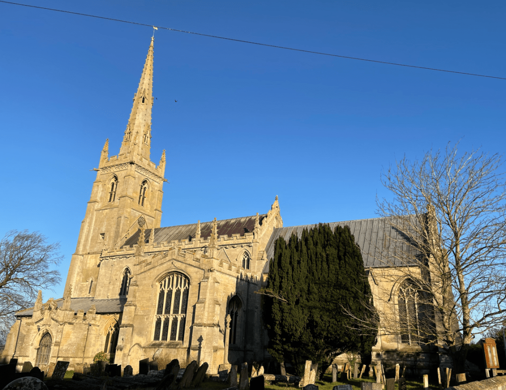
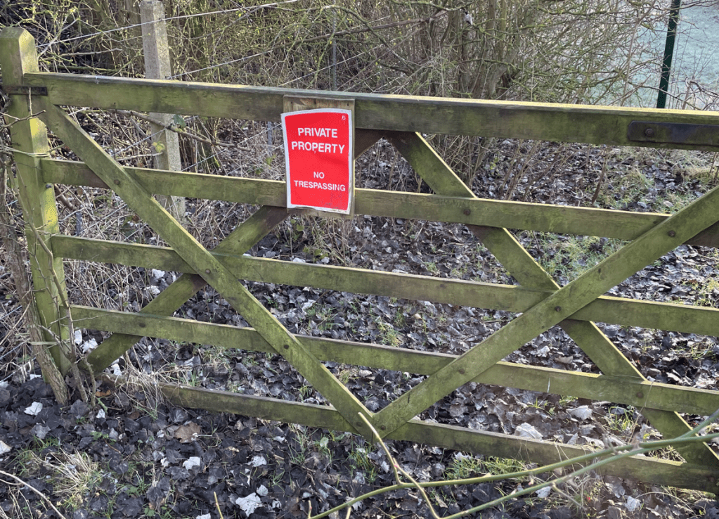
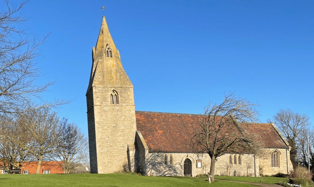
After this point the official public right of way footpath ran out and the route that I had thought was ok had a ‘No Trespassers’ sign. We decided to head up a farm track instead, which eventually led us to a road, leading to Claypole. There were hundreds of small birds in the trees and flying around – almost like a murmuring. We could see a tall church spire in the distance- we would pass this soon.
St Peters Church Claypole
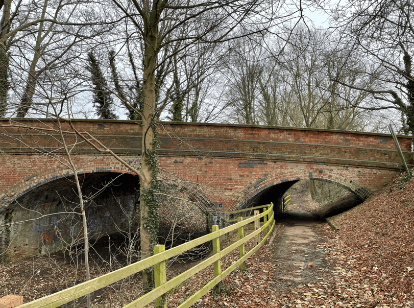
Walking through the attractive village of Claypole we eventually found our footpath which would take us across the East Coast Mainline Railway – when we got there we found that Railtrack had fenced off the crossing. We have come across this on other walks – it is very annoying. Presumably it is avoid risk.
Access to level crossing closed
It looked like there might be a path beside the railway line that we could use but after following it for a while we came up against another ‘No Trasspassers ‘ sign.
We had no alternative but to walk back into Claypole and then take the road to Dry Doddington. It turned out to be a quiet lane, but just as Angela said that there was less traffic than she had expected, every man and his dog was driving along the road. Doh!
The ‘quiet’ road to Dry Doddington
Arriving into Dry Doddington we admired the leaning tower of St James church. Apparently, the lean is greater than that of the Leaning Tower of Pisa.
A seat beside the village hall was a good place to stop for a cuppa.
Dry Doddington is a local high point but there were no views today as there was mist in the distance. We headed across fields from Dry Doddington to Long Bennington, meeting a dog walker whose dogs were vainly chasing a hare across the field. They had no chance! The dog walker said that there were lots of hares in the area and sure enough, we later saw another two hares.
Obstacles in our way was a theme on todays walk and sure enough we had another obstacle blocking our path – an electric fence. Luckily it was low enough to step across.
After crossing this muddy field it was nice to get some grass to walk on for the final mile back to the car.
The final stretch
Despite the challenges we both had enjoyed todays walk.
Hello and welcome back to my Blog 😊- the first for 2025.
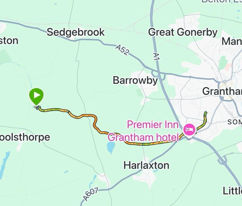
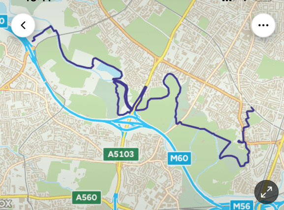
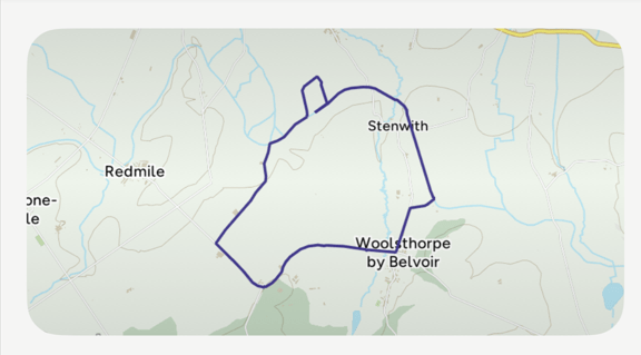
Today the Three Amigos met up at Woolsthorpe-by-Belvoir and enjoyed a 10 mile walk along the Grantham canal to Grantham and back.
The route
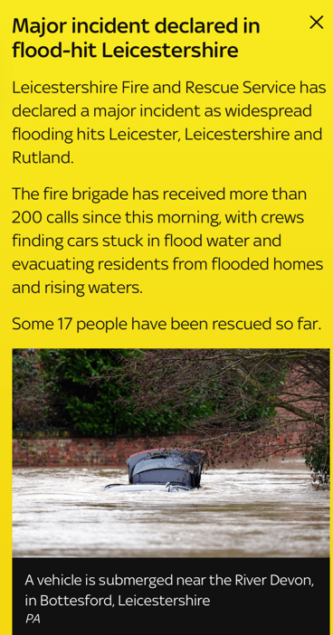
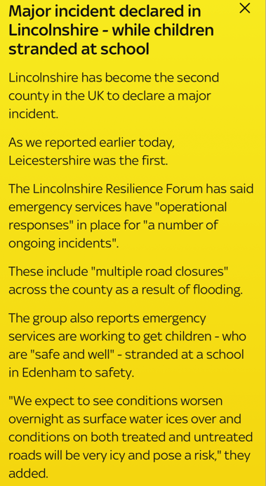
Choices of where to walk today were limited, with much of Lincolnshire and Leicestershire suffering from flooding.
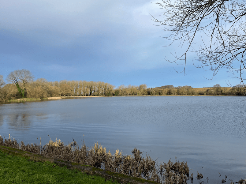
Mick had done a recce at Cropwell Bishop Country Park yesterday to see whether we could walk by the canal there, but sadly, the towpath was flooded. There was also a lot of water in the canal.
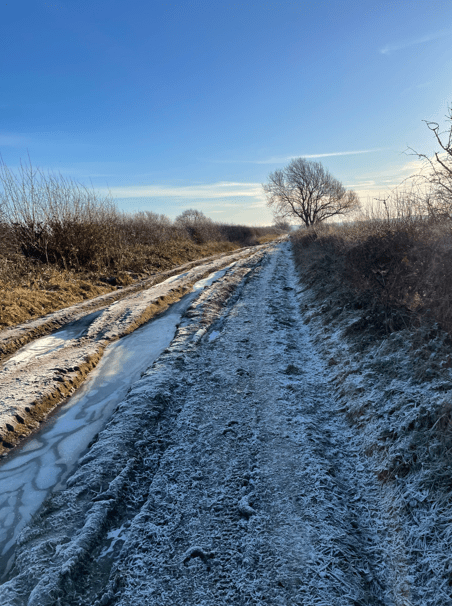
We arrived at Woolsthorpe after navigating icy roads – the temperature was below zero. Walking along the road to the canal was ‘interesting’ with black ice everywhere.
Lock 17
There was some ice on the towpath but it was much safer than walking on the tarmac road. We noted some ice on the canal. We were pleased to see the sun making an appearance- maybe it would be a sunny day?
Oldblokewalking
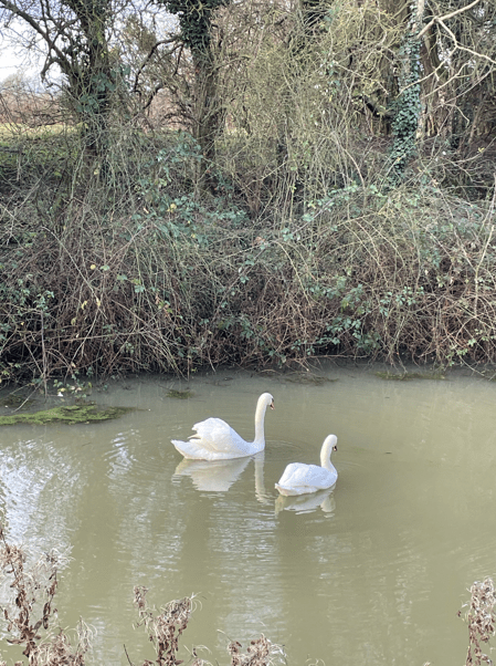
The towpath was quiet – we met more people on our return leg. We wondered how the swans cope with the cold water.
Naturally, the Three Amigos had a good old catch up. The latest Wallace and Gromit film ‘Vengeance Most Foul’ was discussed, particularly because, towards the end, there are canal boats and canals involved in the plot. It was agreed that it was very good film. Highly recommended.
Chris setting a fast pace
Chris was on a mission to set a fast pace so we pressed on and soon were arriving into Grantham. There were plenty of wild birds in evidence here, which was nice to see.
Grantham bird life
We stopped for a cuppa and a bite to eat. The sun had disappeared into the cloud which was a shame. Refreshed after our stop, but feeling chilly, we set off on our return leg.
The return leg
The towpath was good and mud free so we were very happy about that. Soon, we were arriving back in Woolsthorpe, passing the flotilla of Grantham Canal Society boats.
The Flotilla
It was a good walk to begin the year. Looking forward to some nice walking in the coming months – weather permitting!
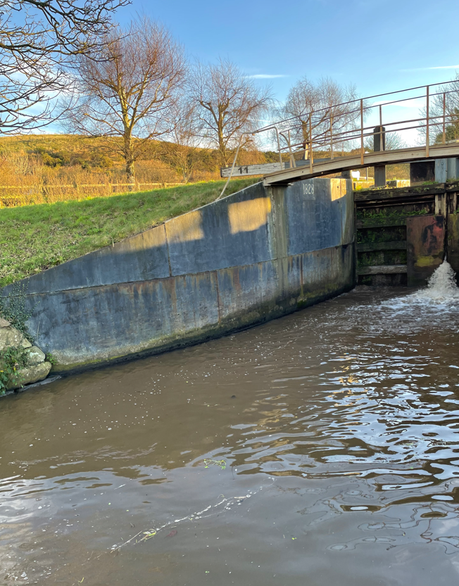
Today myself and Angela enjoyed a 5-mile walk along the Shropshire Union Canal followed by a visit to the National Waterways Museum at Ellesmere Port. It was dark when we set off from the house to drive to Tiverton, but the sun was just rising as we parked up in a lay-by close to the canal.
The towpath was grass/mud and quite uneven in places. We strolled along looking at the bird life – there was the usual Heron fishing and plenty of Mallard Ducks. The canal could obviously take boats larger than the current narrow boats – it was wide and the locks/bridges were sized for much larger boats.
Whartons Bridge
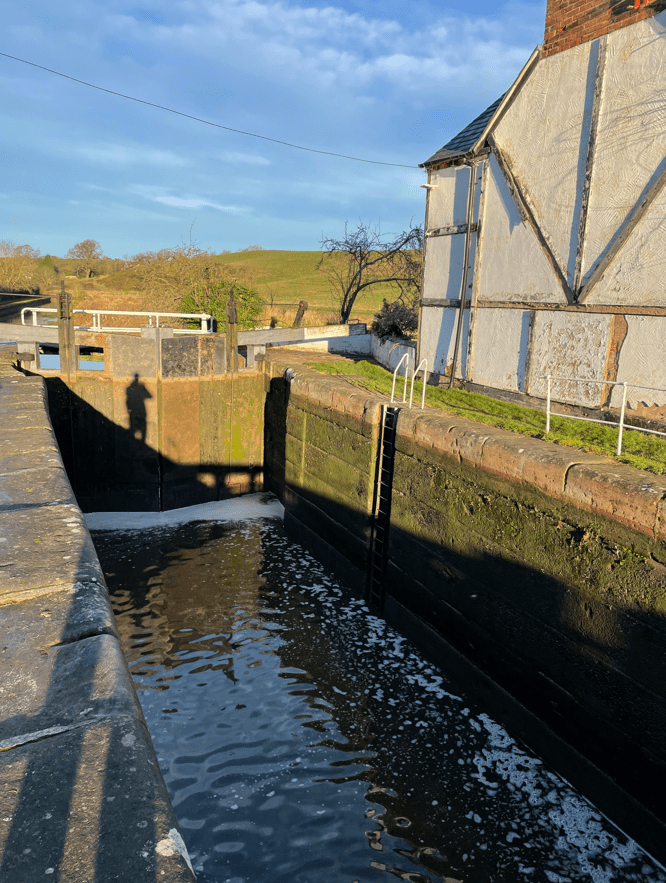
We visited a lock called the Beeston Iron Lock and another called the Beeston Stone Lock. The former was lined with steel sheets and the latter had large stone blocks instead of brick. So,quite unusual locks.
Beeston Iron LockBeeston Stone Lock
It was great to have a sunny morning after the totally gloomy recent weather.
A large winding hole
We walked past a section of canal where a temporary (permanent?) repair to a breached bank had been carried out using sand bags.
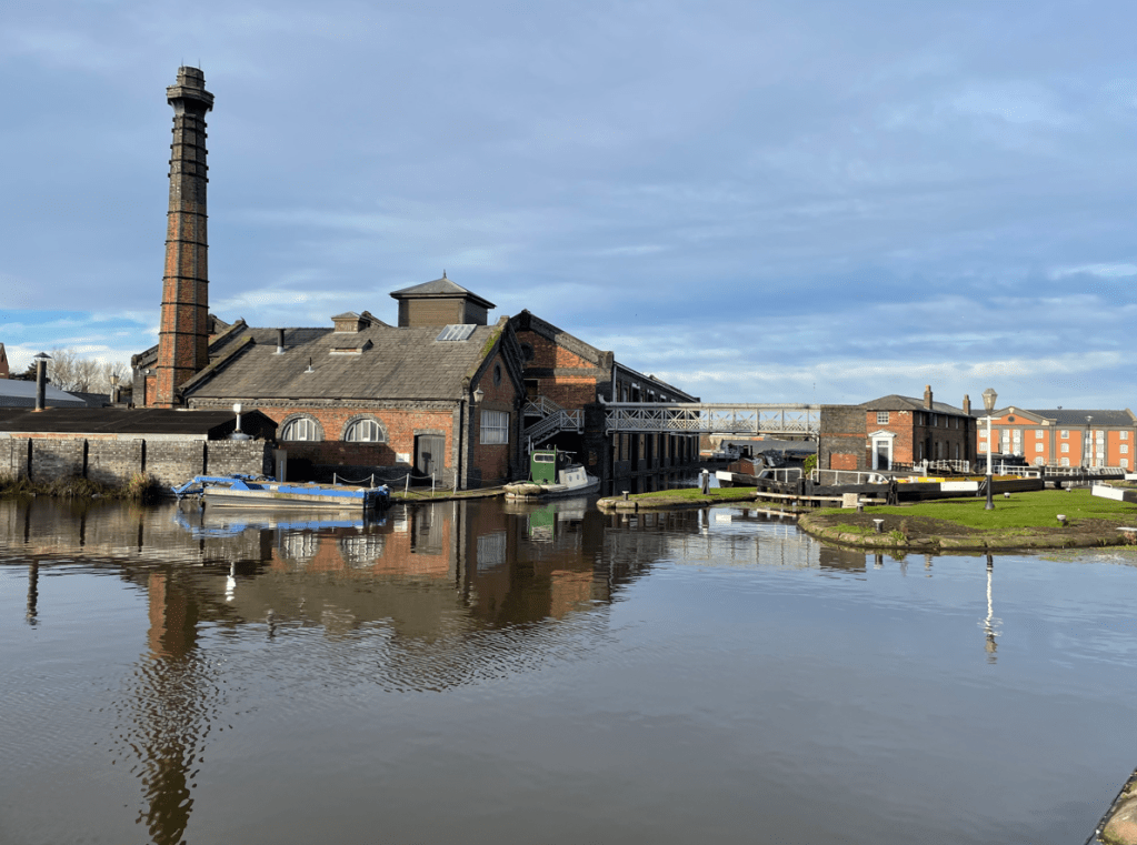
We found a café and decided to get a coffee – our timing was off because two large families had just beaten us to order and it would be a long wait we were told. We decided to press on and go to the Canal Museum at Ellesmere Port.
Canal museum
We had visited the museum in February when unfortunately it was cold and raining. So it was nice to be able to walk around today and get a better look at things in the sunshine 😊.
We were particularly keen to visit the Island Warehouse exhibition which houses many artifacts including complete boats.
I was interested to see the ice-breaking boat which was used to break the ice in the canal during particularly cold spells. The museum is first class and does a great job in preserving canal heritage.
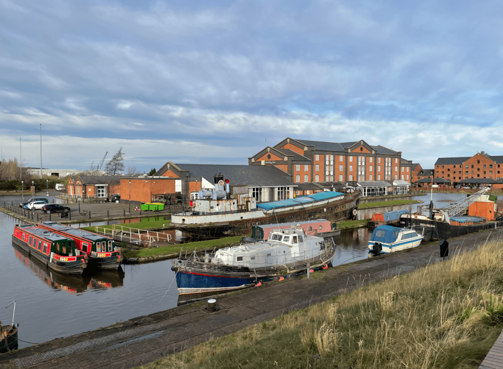
We made our usual coffee stop in the excellent café and headed home after a thoroughly enjoyable day out.
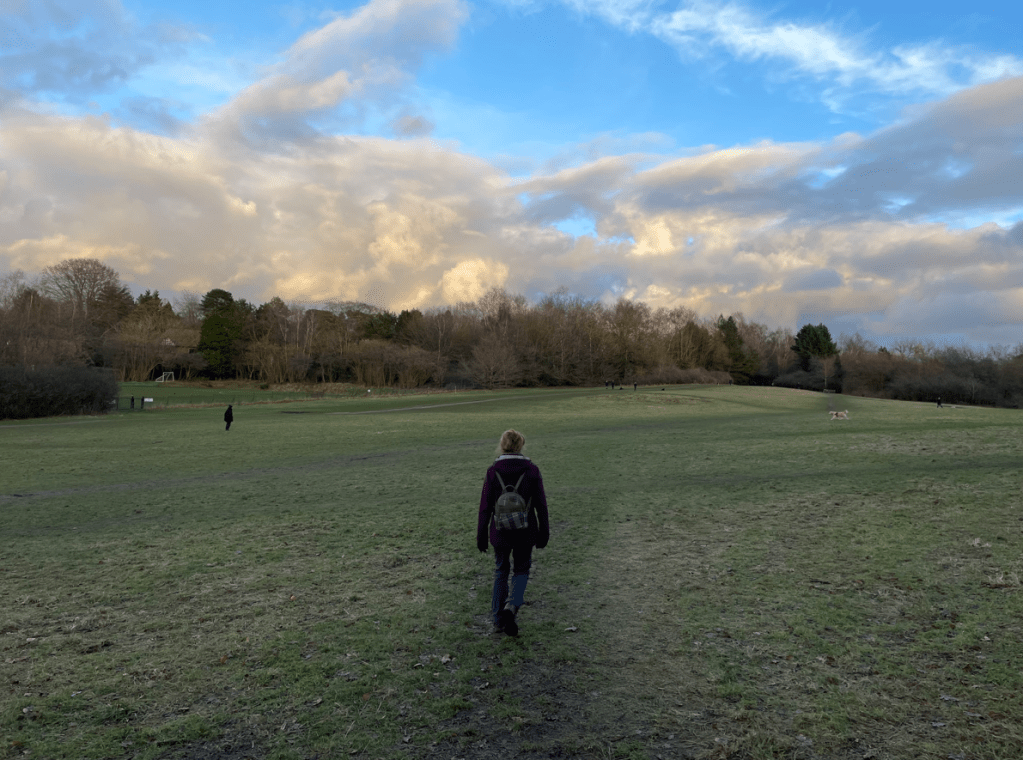
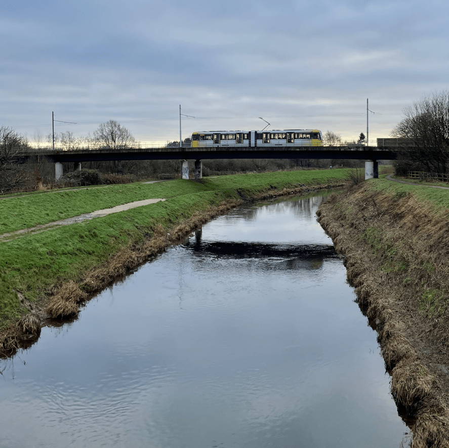
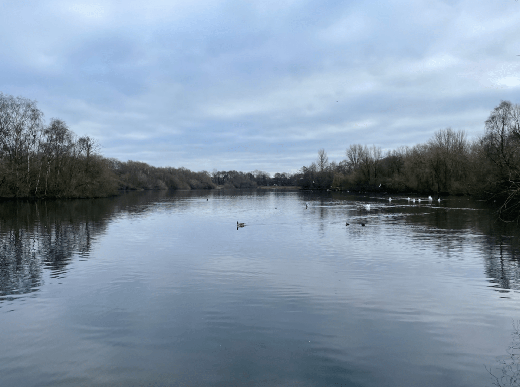
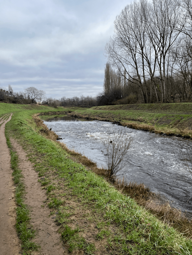
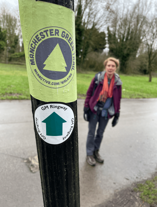
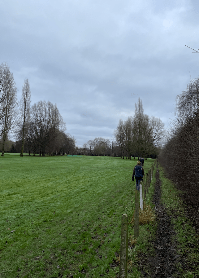
Today myself and Angela did a stage of the Greater Manchester Ringway – walking stage 2 from Sale water Park to Didsbury Village 9 miles.
The Greater Manchester Ringway is a 200-mile circular walk around the outskirts of Manchester. We parked the car at Sale Water Park and set off following the embankment of the river Mersey.
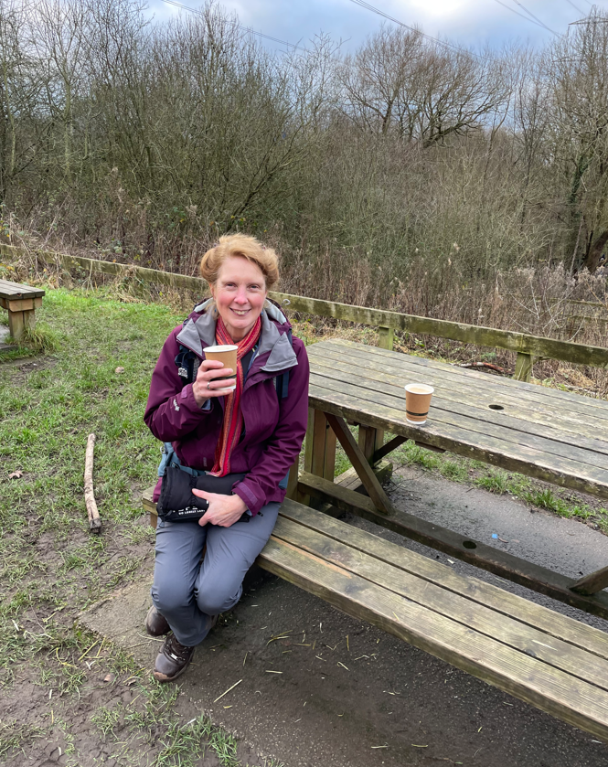
It was a grey day but thankfully the mist we had experienced over the previous four days had dissipated. Angela was giving her new rucksack a run out 😊.
Tram crossing the Mersey
After a stretch following the river Mersey we left it and entered Chorlton Water Park where we walked around the large lake, re-joining the Mersey footpath after exiting. There were plenty of birds enjoying the water and a fair few people enjoying walking around the lake.
Viewing the lake at Chorlton water parkChorlton water park
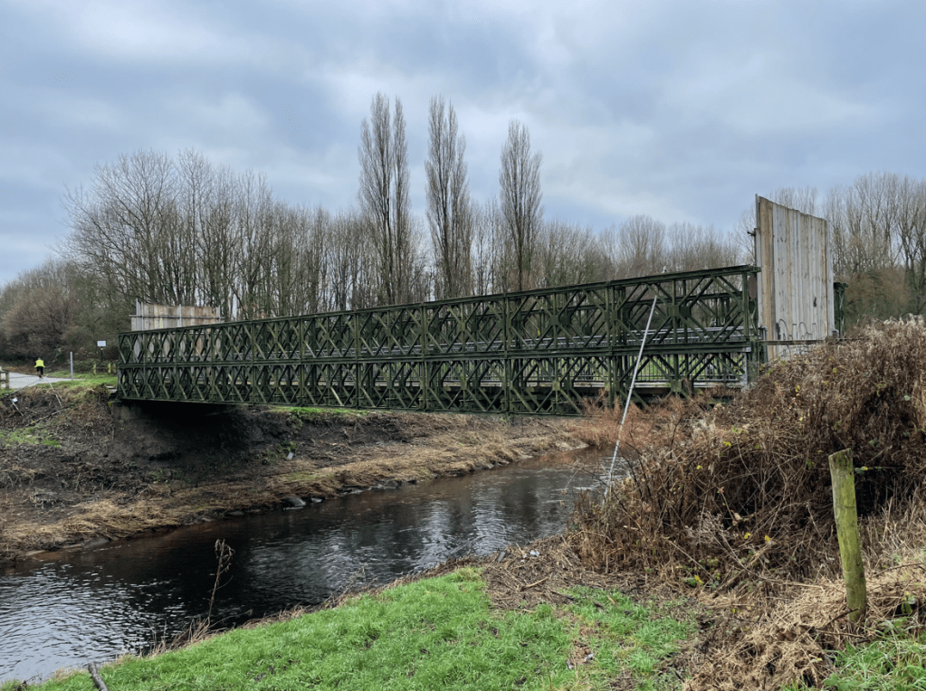
Our route was across a bridge over the river but it was was closed (for maintenance) so we were sent on a 1.5 mile detour .
Bridge closure
There was a muddy riverbank to walk along and then we lost the diversion signs so ended up crossing a major road. Eventually we got back on track and by the river again. We thought that there was quite a strong Chlorine smell coming from the river, especially in those section that had weirs.
Strong smell of Chlorine where the water was turbulent
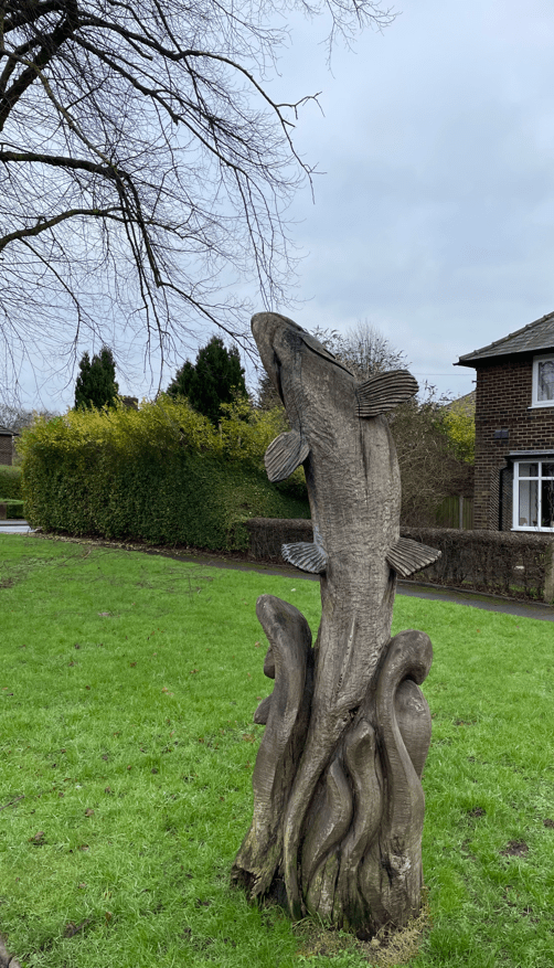
We saw quite a few nice wooden sculptures on our route today.
For the first half of the walk we were bemoaning the lack of signs for the GM Ringway but we started to spot then half way through, generally small stickers put on lamp-posts etc. We could then follow them and we played spot the sign!
Small GM Ringway signs
Our route took us through Withington Golf Club along a muddy path by the fairway.
Withington Golf Course
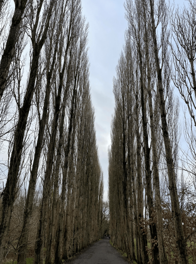
We emerged through a stunning path lined with tall poplar trees which led back to the river Mersey.
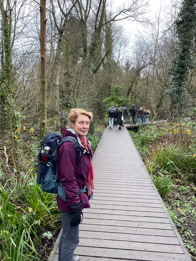
Taking a butty stop by the river there a cheeky young spaniel who nearly snaffled Angela’s’ sandwich! We headed through Fletcher Moss Park across a nice boardwalk and into Didsbury village.
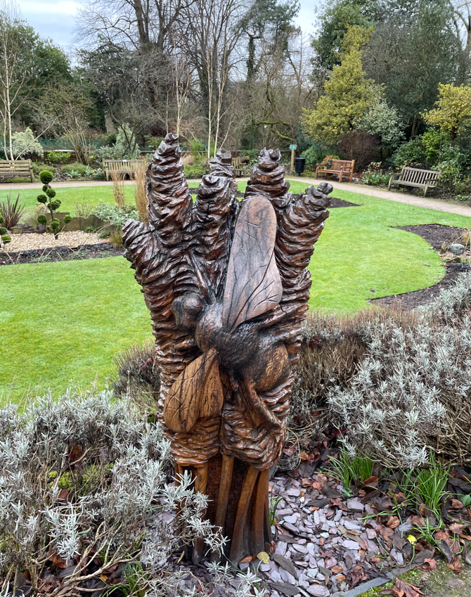
We passed a grand gateway and couldn’t help but walk through into a lovely ornamental garden.
Nice Bee sculpture
After exploring the garden we set off for the finish of our walk which was at Didsbury village tram stop. The GM Ringway is designed to use public transport to get around. We had two trams to catch to get back to Sale Water Park, where we had parked the car.
Arriving at Sale Water Park we enjoyed a nice coffee.
It was a good walk exploring new territory. Maybe we should do more of the GM Ringway?
It’s that time of year where I thought I might reflect on my 2024 walking year, the walks that I have enjoyed and share some photos.
The cold winter months can be a nice time to walk with solid, if slippery, ground underfoot. Bright sunshine is an added bonus.
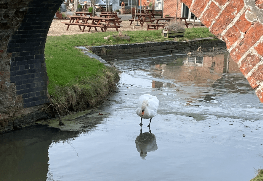
Frozen Grantham canal at WoolsthorpeFrozen groundDunham MasseySwan on the icy Grantham canal
I remember watching this swan struggling to stay upright on the ice even with its webbed feet. Winter mornings are often good for spectacular sunrises.
A snowy morning
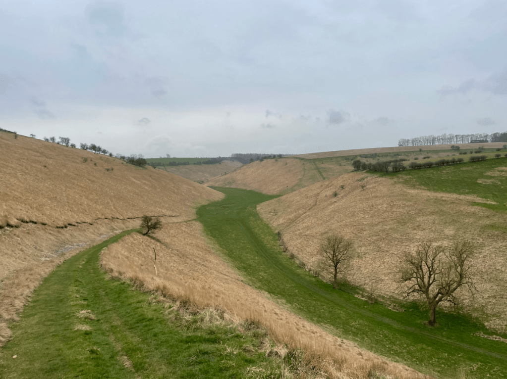
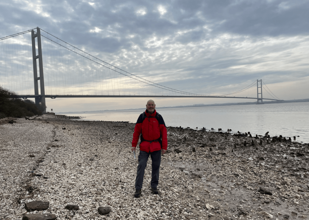
In March myself and Angela were in the Yorkshire Wolds to walk a couple of legs of the Yorkshire Wolds way (only one leg left to complete the walk) and enjoy the solitude in the Wolds of Thixendale and Fridaythorpe.
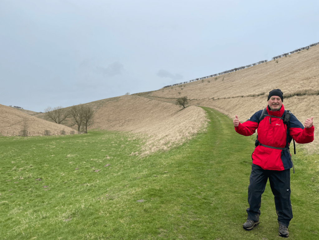
A typical woldThe spectacular Humber BridgeA happy chappyTypical curved benches on the Yorkshire Wolds Way
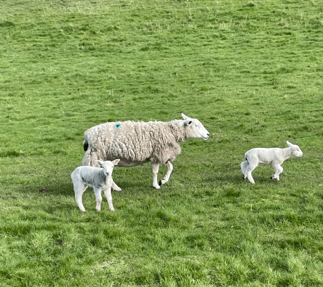
A pivotal moment in Spring is to see the arrival of the new lambs. Such a joy to watch the little lambs springing about 😊.
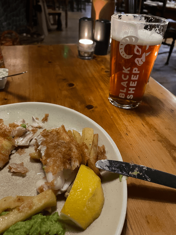
What can be nicer, after a long walk, than a refreshing pint and wholesome food in a welcoming pub.
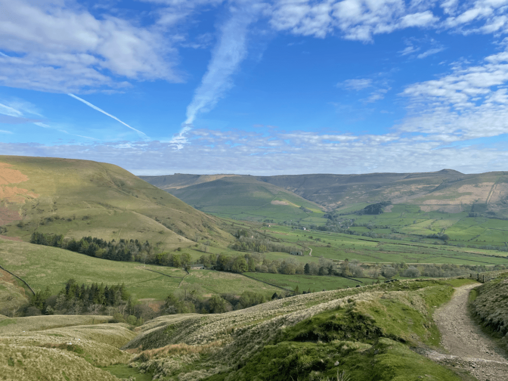
Due to its closeness to home the Peak District is a favourite spot to walk. Its best to start early to avoid the crowds. Walking along the Mam Tor ridgeline is always impressive with glorious views. In April we walked from Edale to Lords Seat and then on to the Mam Tor ridge.
Edale ValleyAscending Lords Seat
On another April day we took a walk taking in Alport Castles which was a new walk for us. We loved the views.
Alport Castles
In May we did some ‘edgy’ Peak District walks – Froggatt Edge, Curbar Edge etc.
Angela taking lunch on Frogatt EdgeOn Curbar Edge
In June I joined in a 27.5-mile sponsored walk, along the Grantham Canal, raising funds for The Grantham Canal Society. I thoroughly enjoyed it, despite the afternoon heat and being bitten by horseflies!
Sponsered walkA dry section of the canal
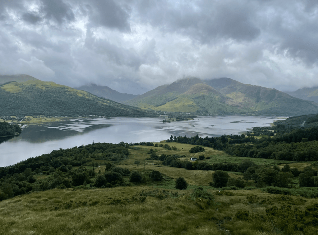
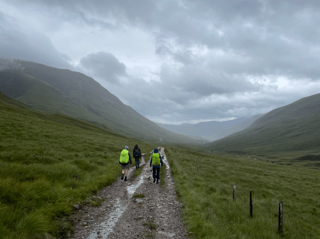
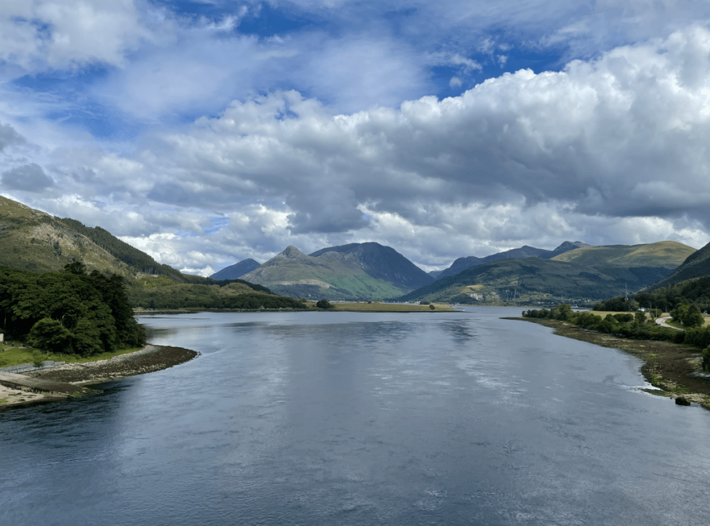
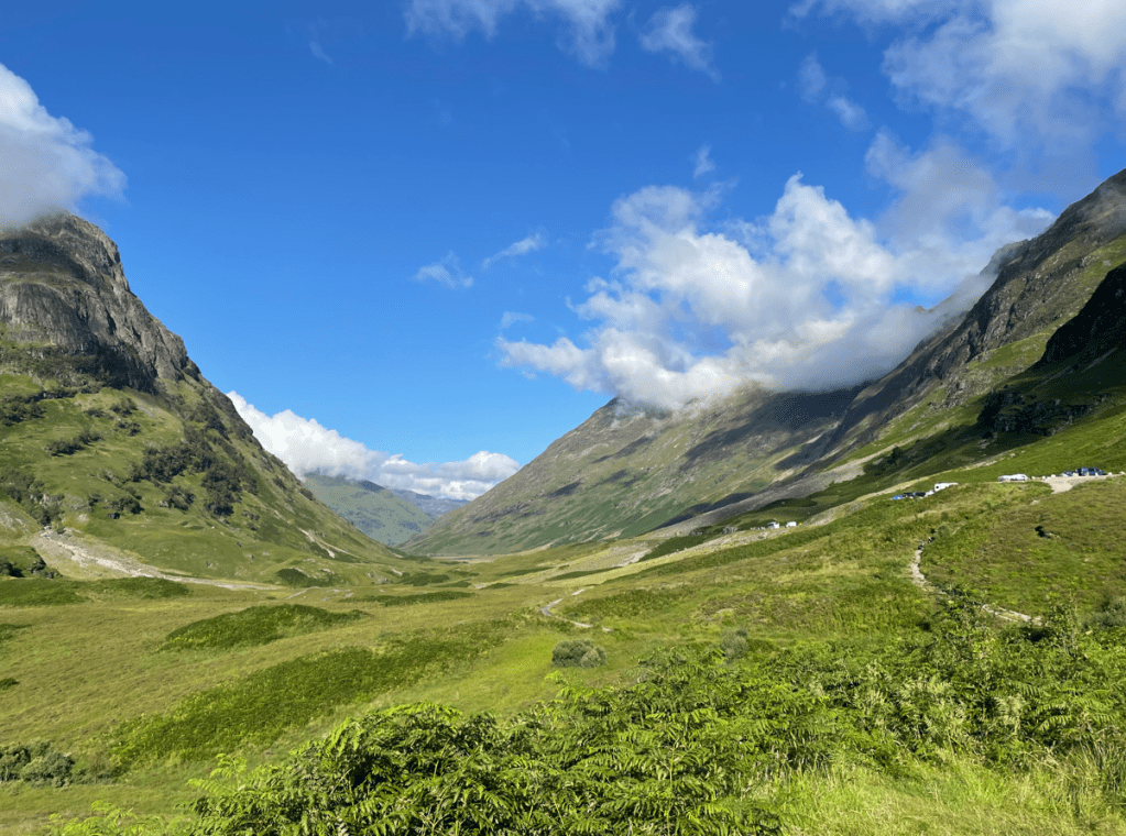
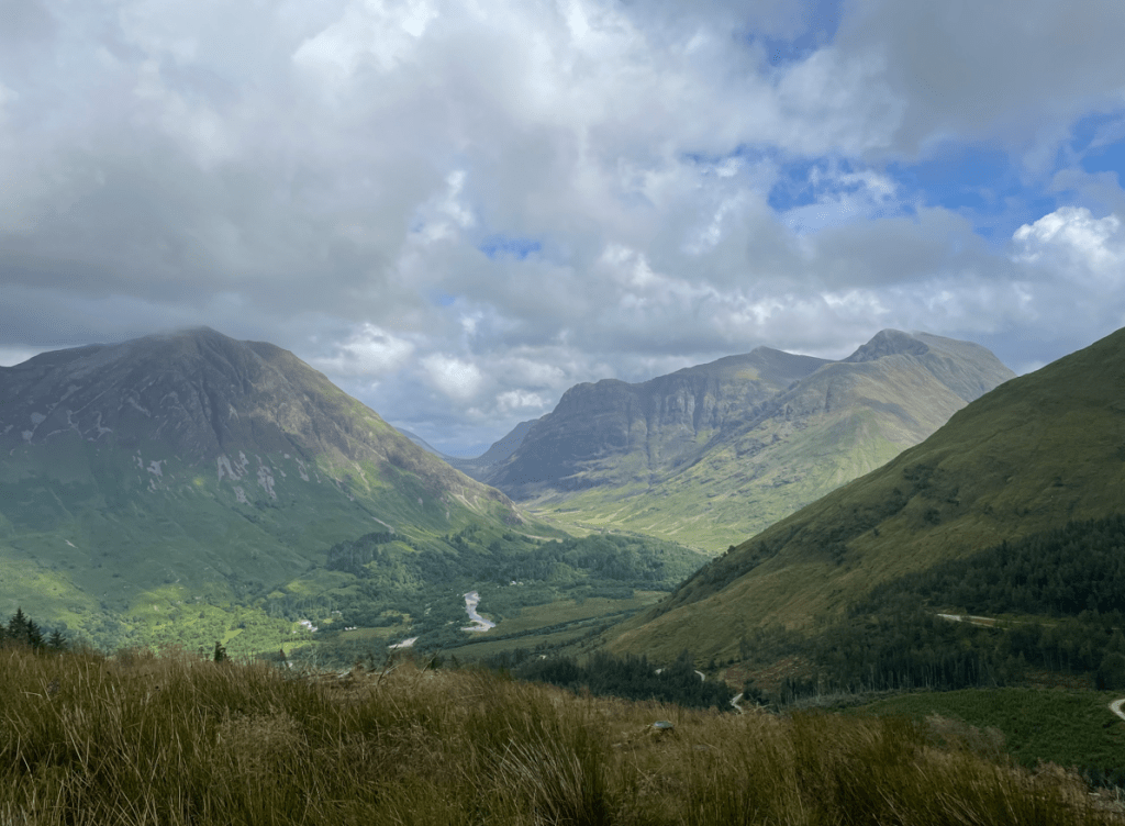
July saw myself and Angela taking a holiday in Glencoe. We have been many times before and its a favourite spot.
Loch LevenOn The West Highland Way heading for KinlochlevenAbove KinlochlevenLoch Leven with the pap of GlenCoe in the distance
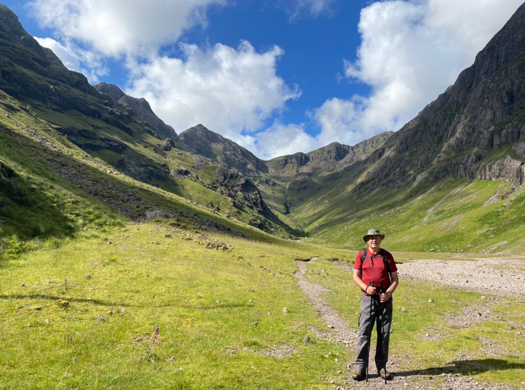
We did a cracking walk to the hidden valley in Glencoe. This was allegedly where cattle rustlers would hide stolen cattle.
On the way to the hidden valleyStood in the hidden valley with the amphitheatre of surrounding mountains
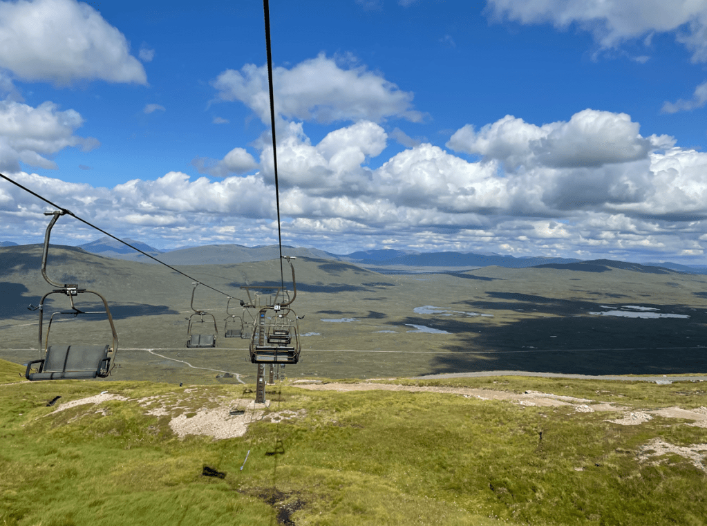
We visited the Glencoe ski centre and took a cable car to the top to enjoy views of Rannoch Moor with Ben Nevis visible (unusually) in the distance. Rannoch Moor was Angela’s favourite section of the West Highland Way which we walked in 2019.
View across Rannoch MoorGlencoeGlencoe
We returned from Scotland to find that I had caught Covid. I wasn’t surprised, I had evaded it till then, so it was only a matter of time until it got me. Luckily, it was not too bad -just lack of energy and loss of taste /smell which thankfully returned.
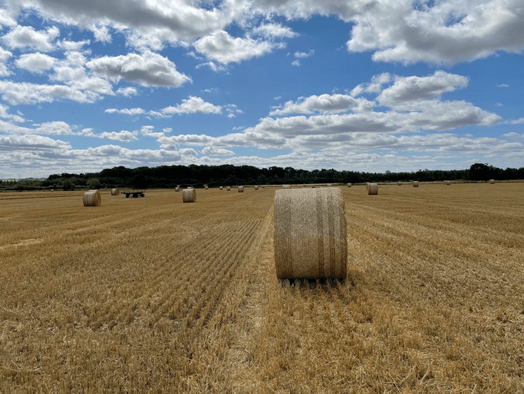
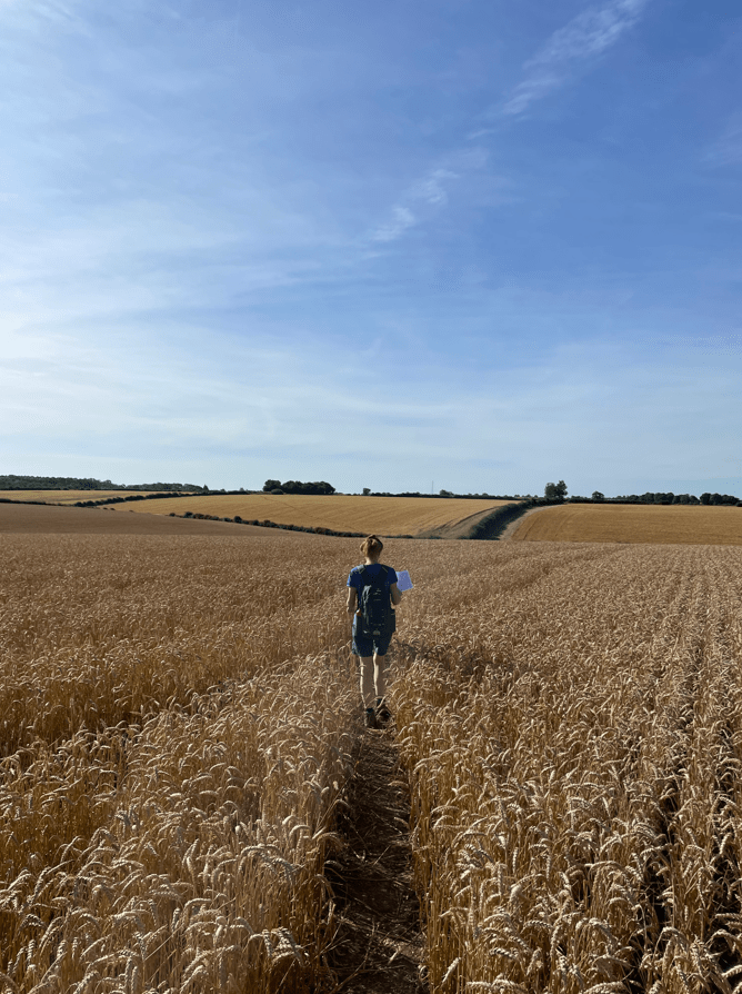
We were now into harvest time.
Angela leading a way through the wheat.
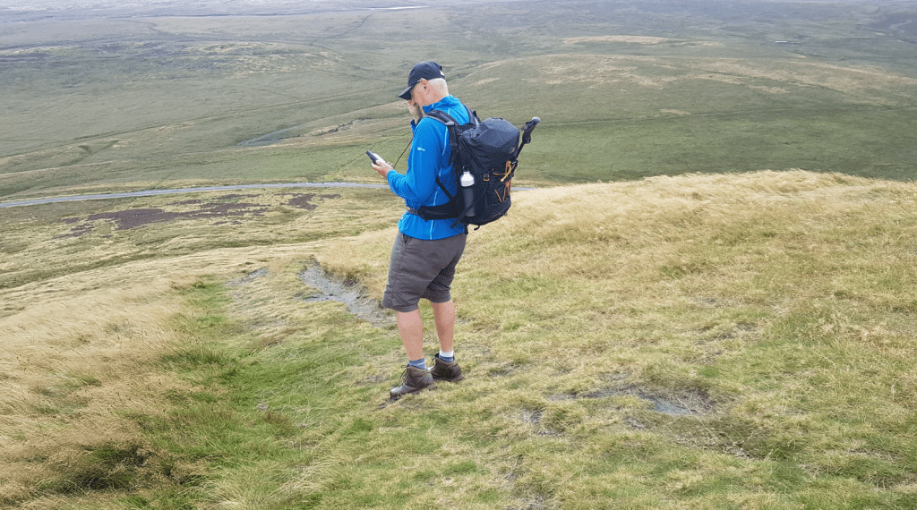
We visited Marsden in West Yorkshire on a very windy day, I recall being glad to get off the summit of Pule hill and out of the wind.
The bleak moorland of Pule hill
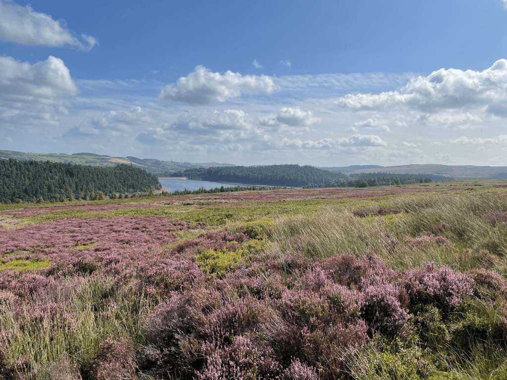
Towards the end of August myself and Angela took a walk around Langsett reservoir. We had passed it many times whilst driving so it was good to visit. We enjoyed a nice walk there.
Langsett reservoirLangsett reservoir
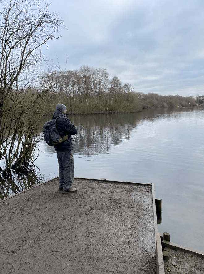
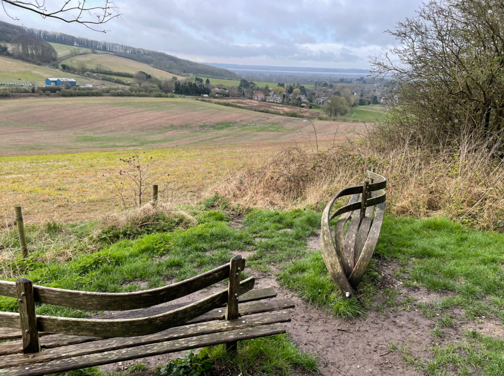
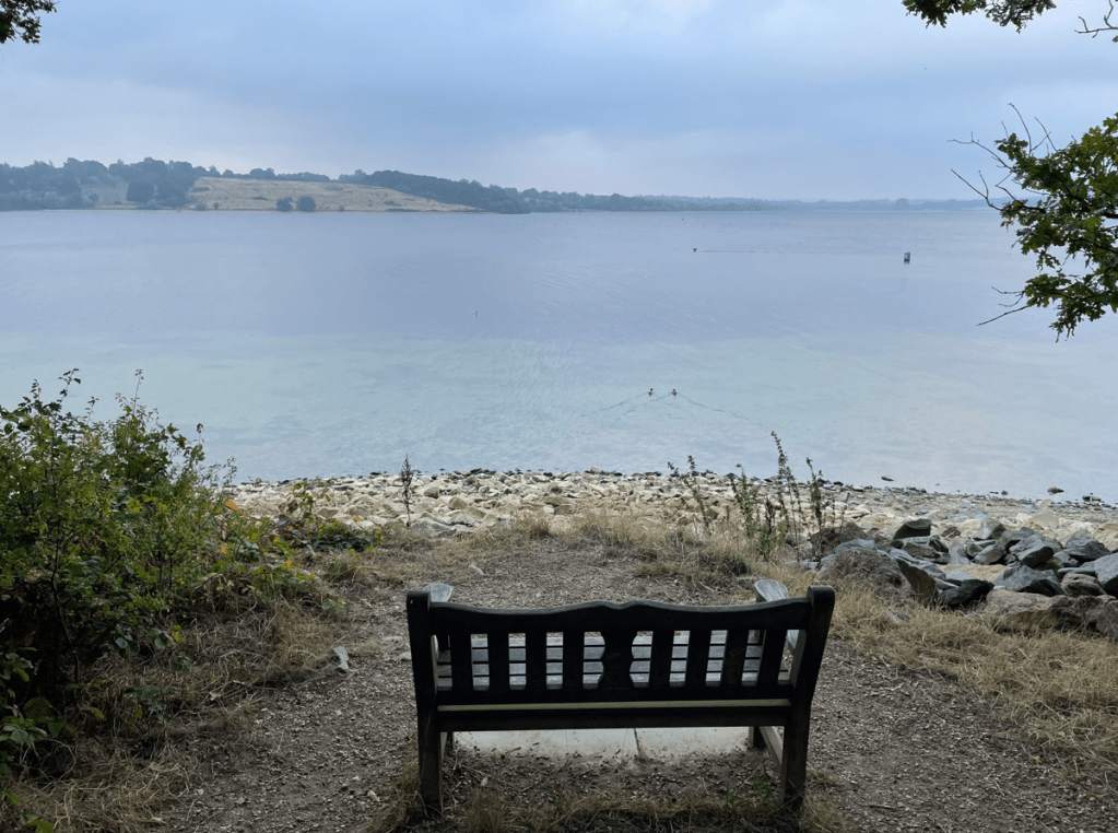
On a Sunday morning in September I took a walk around the Hambleton Peninsular at Rutland Water and enjoyed a coffee at this bench whilst watching the birds.
Rutland water
On another Sunday morning I did a walk taking in Foxton Locks in Leicestershire – I had been wanting to see these locks for a while now so it was good to do it.
Foxton locks
Walking with the Three Amigos we started to walk the Leicestershire Round and we are now nearly half way through. We have walked through many nice villages and learnt about the 10th Battalion of the Parachute regiment and Arnhem.
Burrough Hill was a high point but the views were restricted by the mist. September followed other months during the year of having higher than average rainfall. This is quite depressing for a walker.
In the Nottingham village of Rolleston myself and Angela were surprised to meet piglet, Pooh bear and Christopher-Robin playing pooh sticks.
One of my most frequent and enjoyable walking routes is along the Grantham canal.
Along the Grantham canal
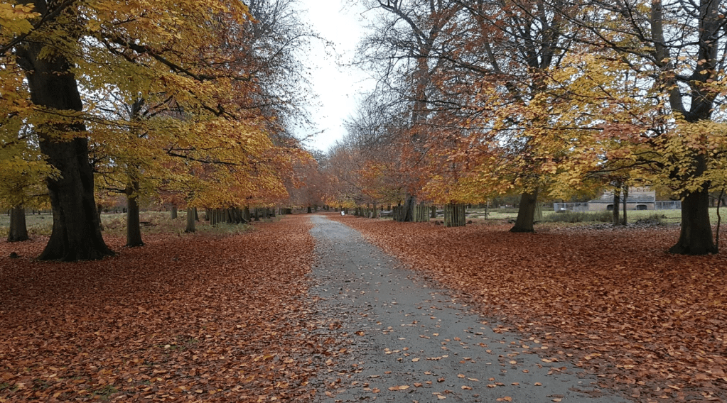
In October myself and Mick walked in Sherwood Forest – the autumnal leaves were falling.
Sherwood ForestA cuppa in Sherwood Forest
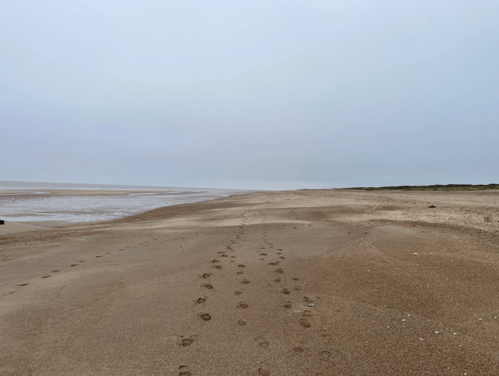
In October myself and Angela walked along the quiet Lincolnshire beach near Chapel St Leonards. Not a soul about 😊.
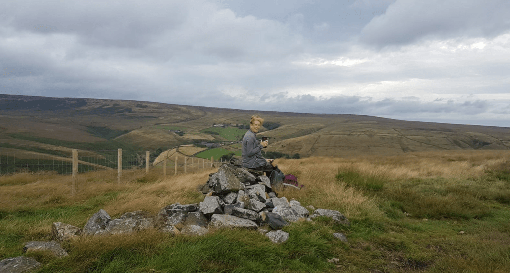
How a beach should lookMore autumnal leavesDunham Massey
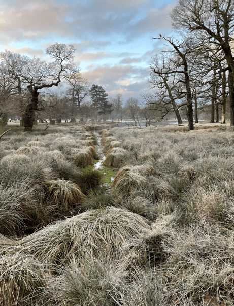
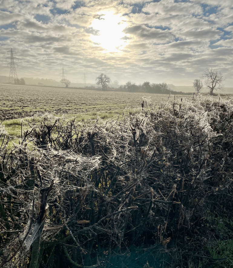
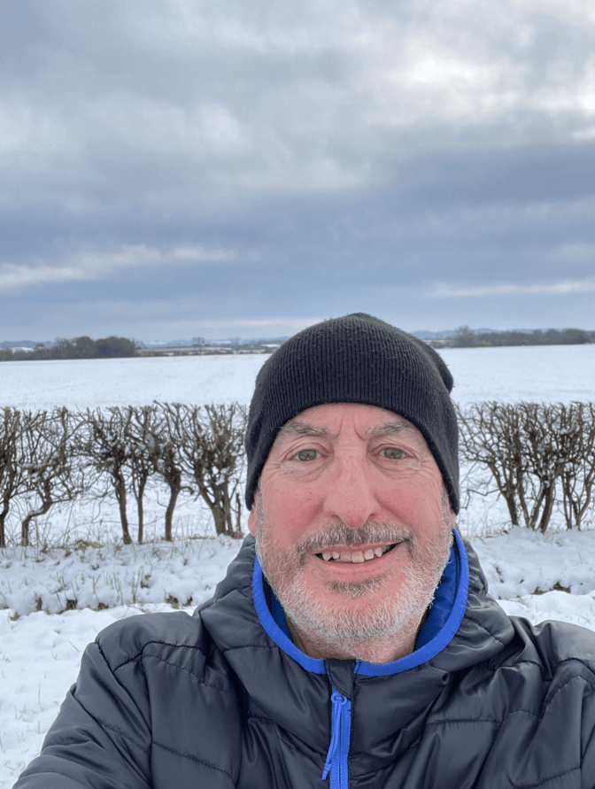
In November the temperatures dropped and we had some early snow.
Cobwebs galore
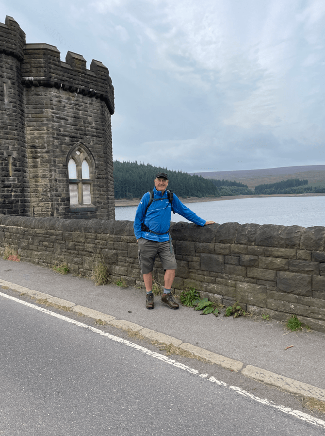
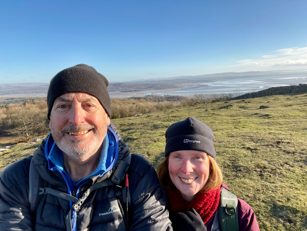
In November myself and Angela visited Grange-over- sands in Cumbria and enjoyed a nice walk on Hampsfell with views across Morecambe bay.
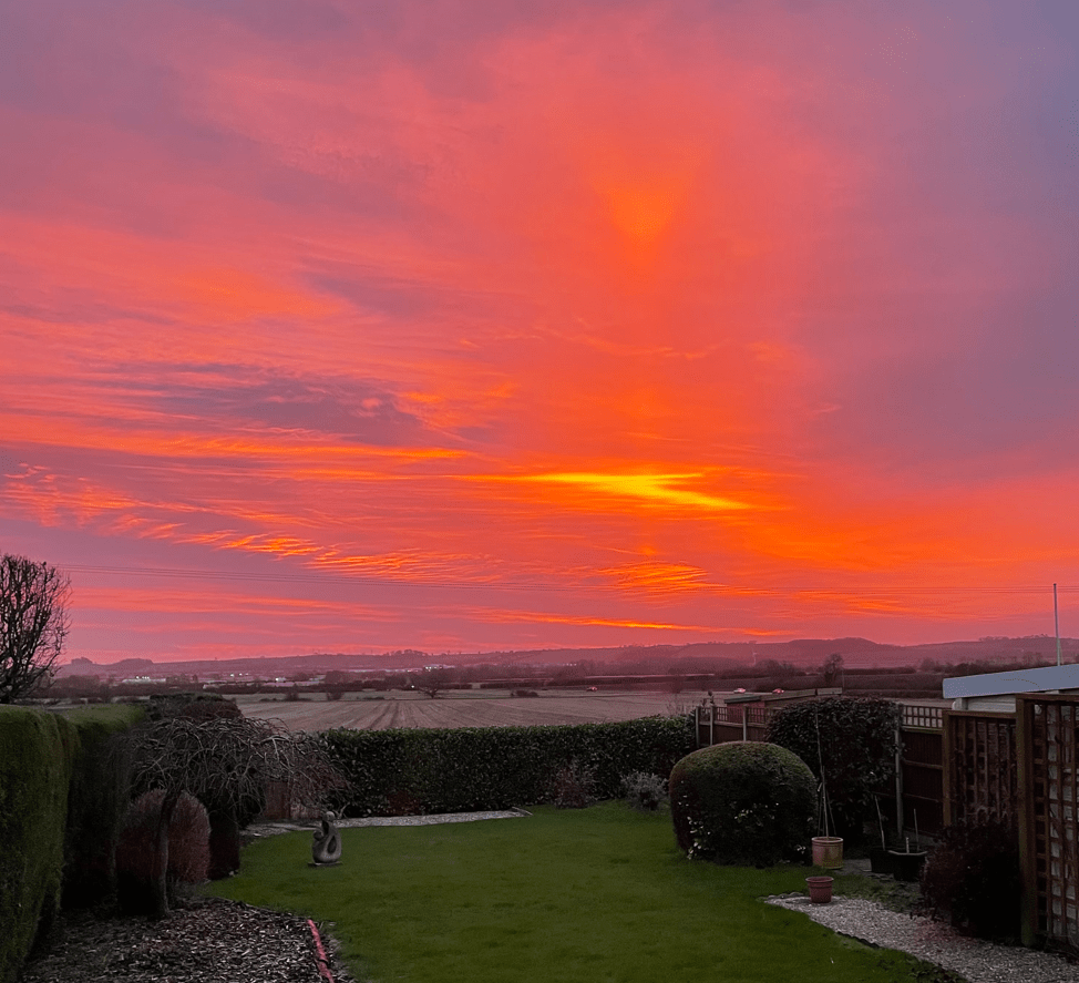
As we head towards the end of the year nice sunrises are back 😊.
Unfortunately the rain is still persisting making choosing walks quite difficult. The weather bounces, on a daily basis, from very mild and wet to very cold. Looking at weather forecasts is not an accurate means of predicting weather as often these change overnight. Do you sense my frustration?
Another flooded canal
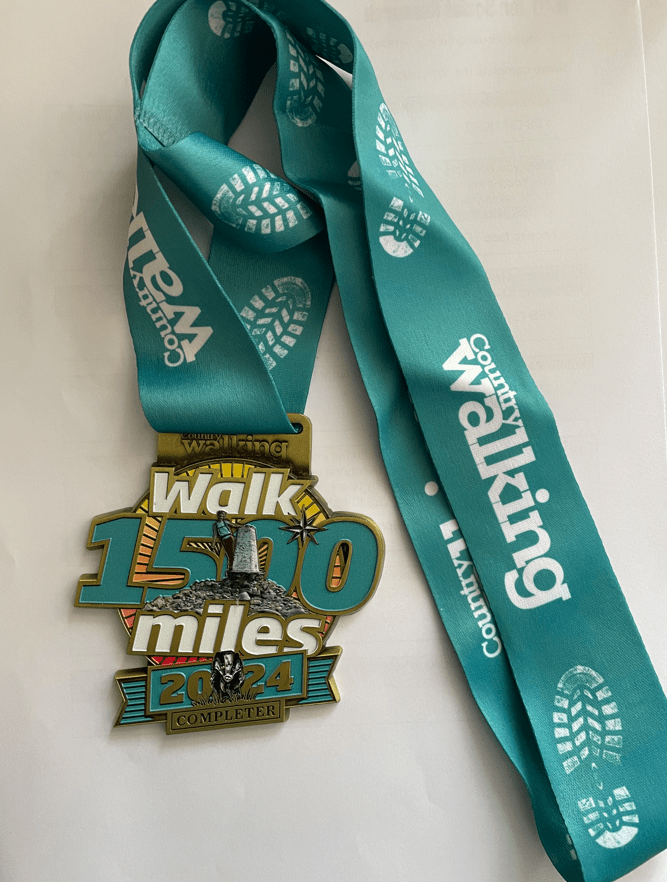
I collected my medal for walking 1,500 miles during 2024 – in fact I walked over 1,700 miles.
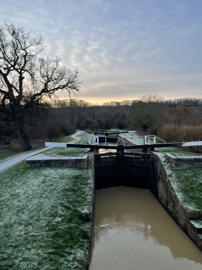
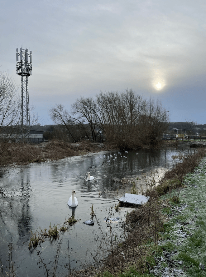
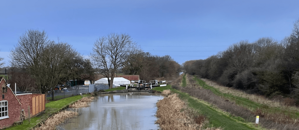
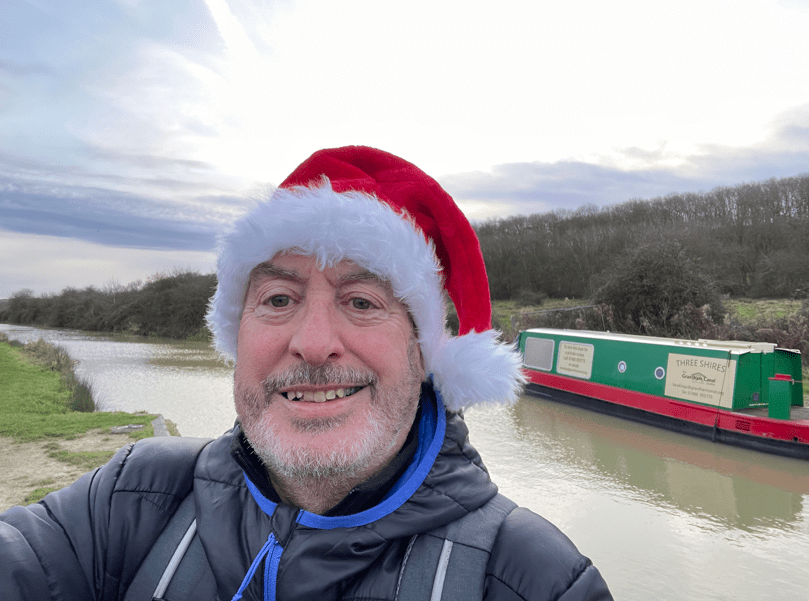
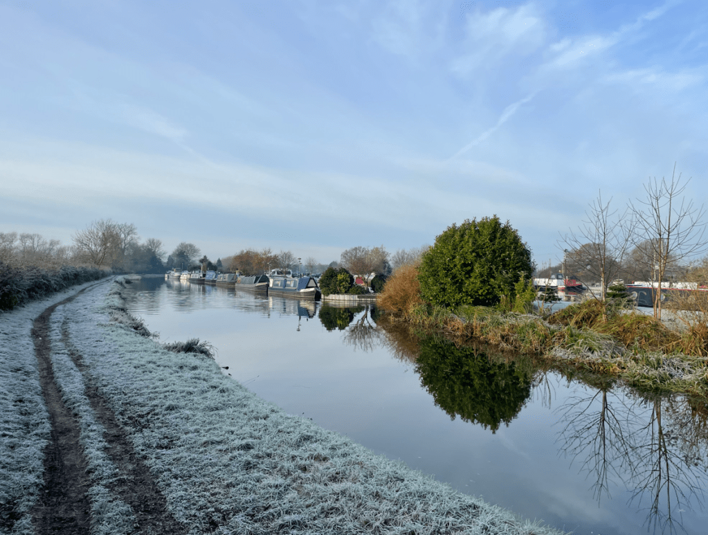
Today ‘The Three Amigos’ met up at Woolsthorpe and enjoyed a 9-mile circular walk taking in the Grantham Canal, Denton reservoir and the Sustrans cycle trail that was once the Ironstone Ore railway line.
It was a chilly start to the day following on from many rainy days that has resulted in flooded fields and roads. I arrived at Woolsthorpe to find that Mick and Chris had already arrived and were busy getting their boots on. Both were recovering from bouts of the dreaded lurgi but clearly were keen to get walking. I took some abuse from them about being late, although, in actual fact, I was 10 minutes early 😊.
View of lock 16
We walked past lock 17, heading for Harlaxton, noting that the lock was full of water for a change.
Lock 17 and the boat Earwig
It was quiet along the towpath – we only met one runner while we were on it.
Ducks and swans were merrily paddling along the calm waters.
Mick and Chris were putting the world to rights along the way. Soon we arrived at Harlaxton Wharf and headed via fields towards Denton Reservoir. This reservoir supplies the water for the canal.
Harlaxton wharfDenton reservoir
The reservoir is a nice tranquil place normally but today there was shrubbery clearance going on so it was very noisy! We stopped for a cuppa and a bite to eat before doing a loop of the reservoir, watched some cormorants and then headed off towards Denton. Our route took us through the village and then uphill along the road to an old railway bridge where we joined the cycle trail.
Cormorants fishing at the reservoirJoining the cycle trail
It was a nice wide path along the cycle trail and easy walking.
The miles were slipping past easily and neither Mick nor Chris were showing any adverse affects from the lurgi. We arrived back at the canal and walked along the towpath back to the cars.
We had enjoyed the walk and the chat along the way.
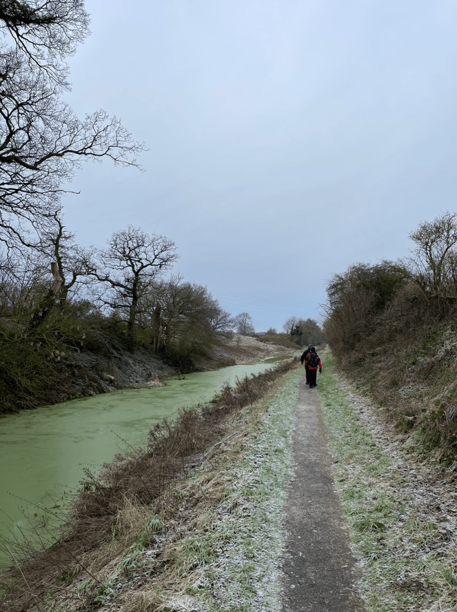
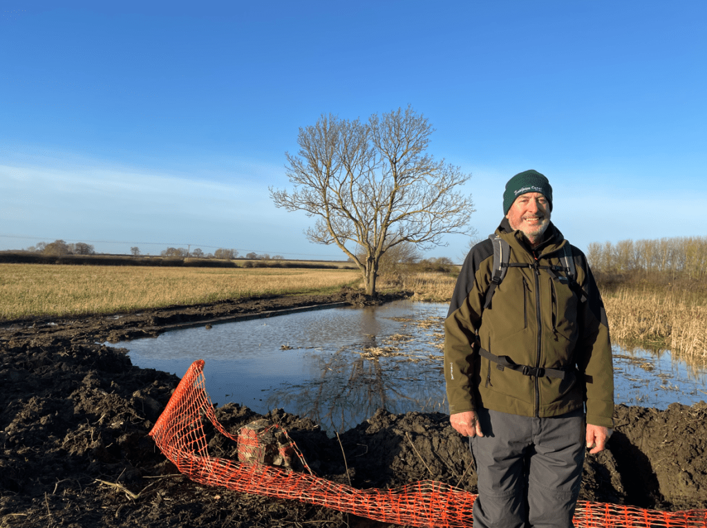
This morning myself and Angela met up with Mick and enjoyed a 7-mile circular walk in the Vale-of Belvoir. It was a sunny but chilly morning following heavy rain overnight.
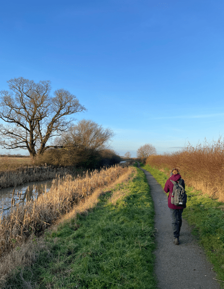
We started our walk at Woolsthorpe- by- Belvoir and walked westwards along the rather muddy towpath of the Grantham Canal.
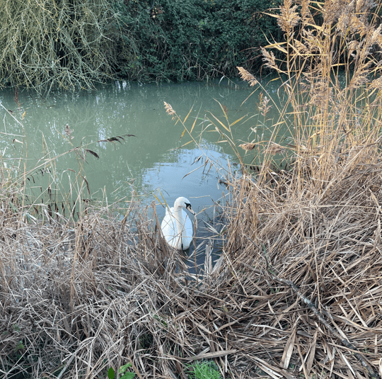
The weeds along the canal were dying back which allowed a clearer view of the canal. A friendly swan swam over to say hello.
After about a mile and a half the towpath reverted to stone rather than grass so it was less muddy underfoot.
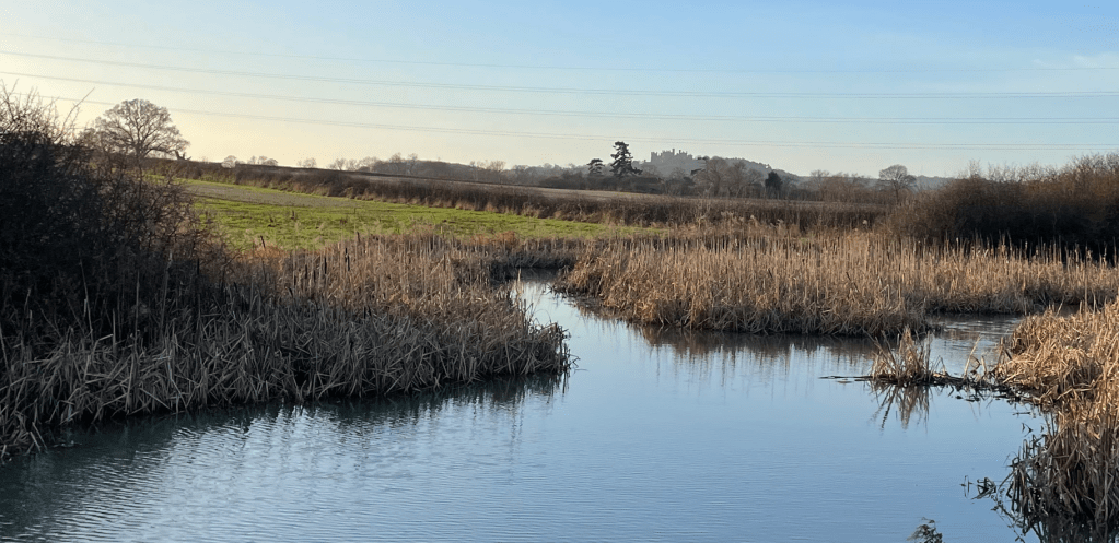
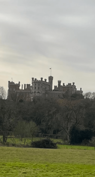
All along this stretch of the canal we could see Belvoir Castle standing on its hill in the distance – the castle has a great view of its surrounding lands. The castle is home to the Duke and Duchess of Rutland.
Belvoir castle in the background
A little further on we halted. The towpath was flooded where the canal had overflowed.
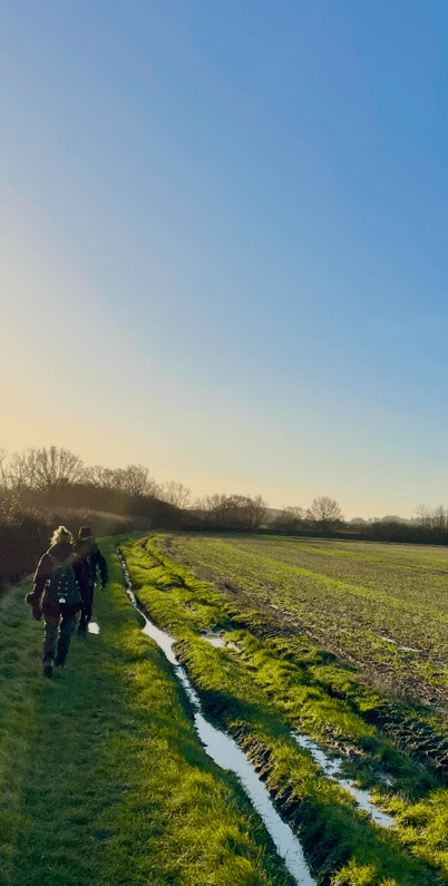
We decided that, because we could not see how deep the water was ahead, we would look for an alternative route around. Unfortunately, this took us through muddy fields so it was a good job we were all wearing gaiters!
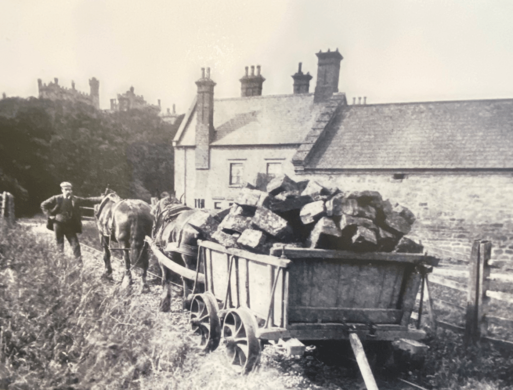
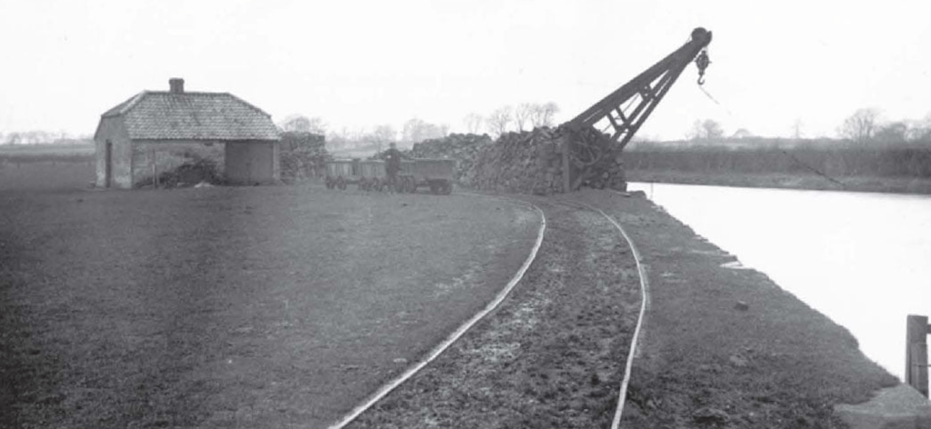
Re-joining the towpath we got to Muston Gorse and were able to view the work being carried out by The Grantham Canal Society at a site of historical interest known as ‘The Dukes Wharf’.
Soon after the canal was built (1797) by the famous canal engineer William Jessop, the Duke of Rutland asked whether an extension to the canal could be made to bring goods up to the castle. Knowing how many locks would be needed and that the amount of water needed to operate them would be prohibitive, Jessop came up with a proposal for a tramway. Uniquely, he fabricated metal fish-belly rails in his own foundry (previous tramways in the country had used wooden rails). The tramway was built in 1815 and operated for over 100 years. The wharf where the canal boats unloaded was known as The Dukes Wharf and it contained a weigh house (to check the weights of the good’s (e.g coal) received.
The Dukes Wharf
The National Railway Museum in York has a tramway truck on display.
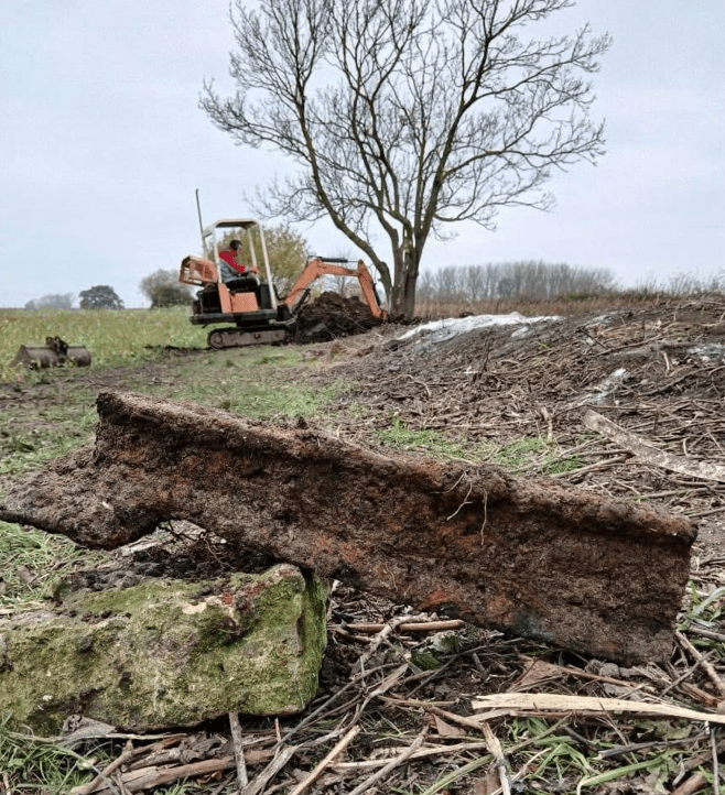
Recently, the Grantham Canal Society has been working here to expose the original wharf. They have even found a piece of rail. The crane used for unloading has long gone.
Coping stones on the original wharfFish-belly rail
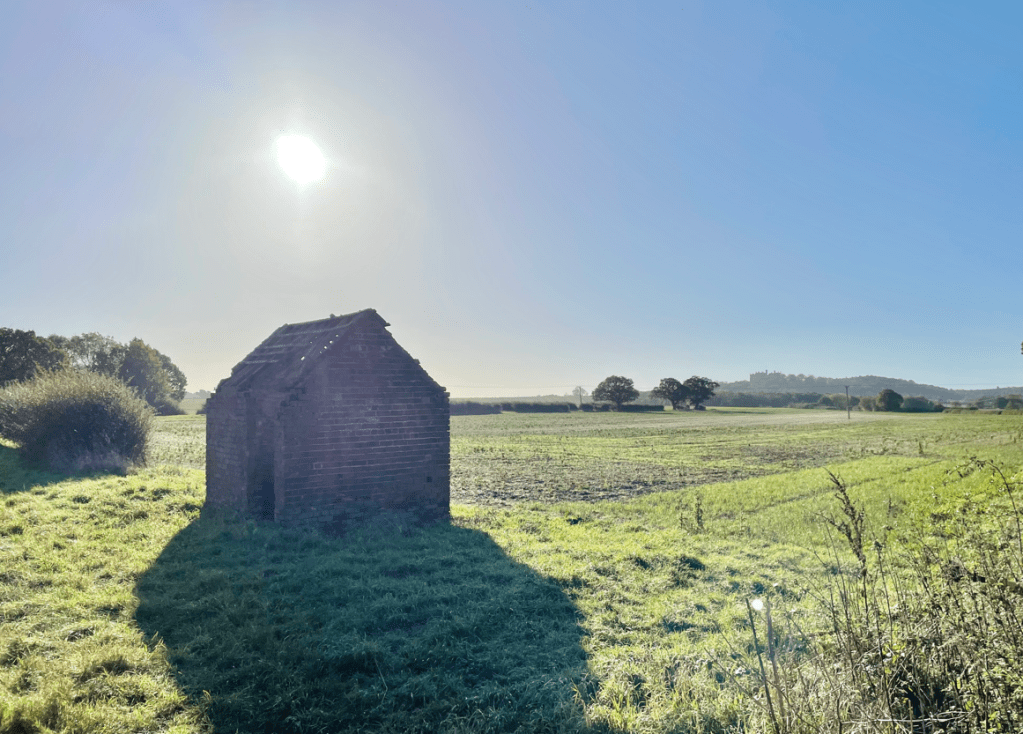
There is an building nearby which is thought to have been the weigh house. The Society hope to restore this area.
The weigh houseThe Dukes Wharf
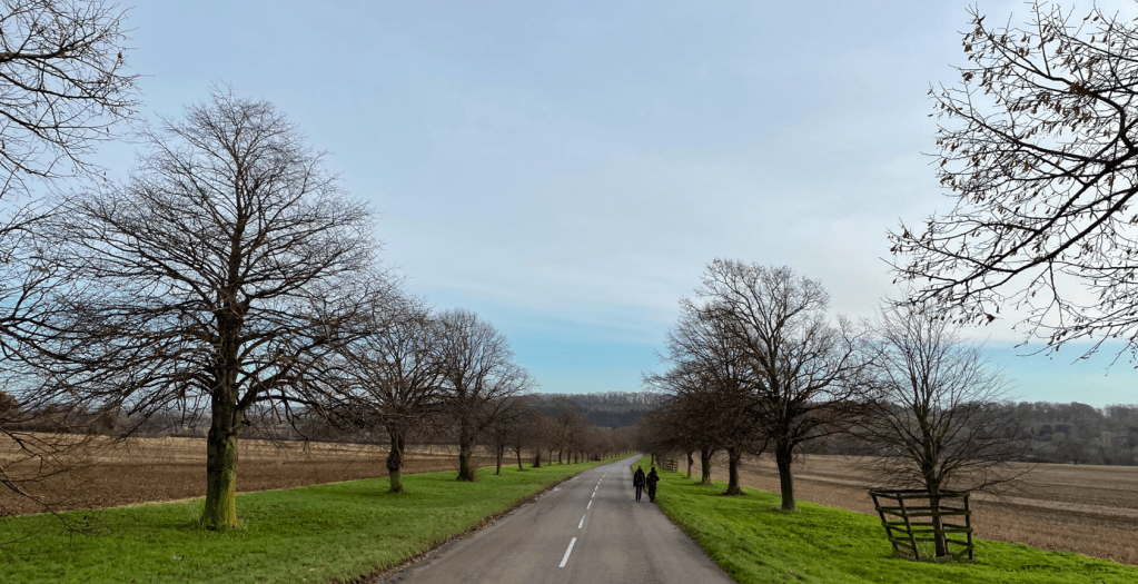
Leaving The Dukes Wharf we headed up the hill towards Belvoir Castle.
We walked past a small retail centre called ‘The Engine Yard’ and headed down the scenic, tree lined road, crossing the river Devon to enter Woolsthorpe-by-Belvoir.
It was a short walk to where we had parked our car. Mick headed off home and myself and Angela popped into ‘The Duck’, a recently re-opened pub, where we enjoyed a warm welcome from the staff and a lovely hot couple of coffees. In was nice to get into a warm pub after the cold walk.
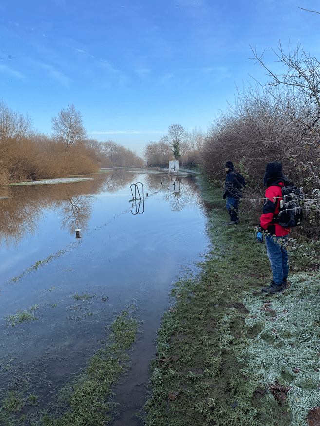
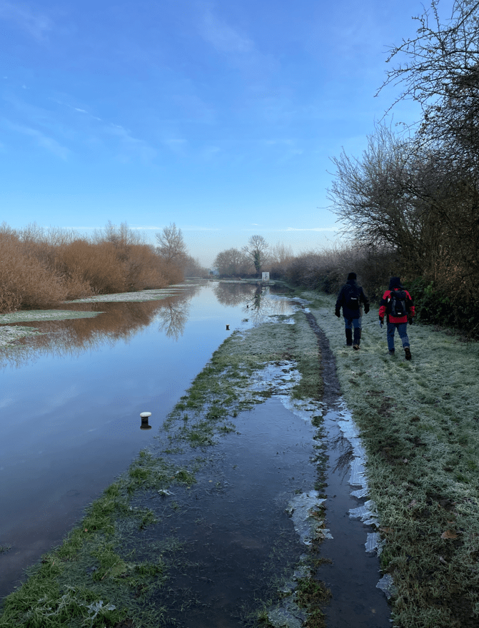
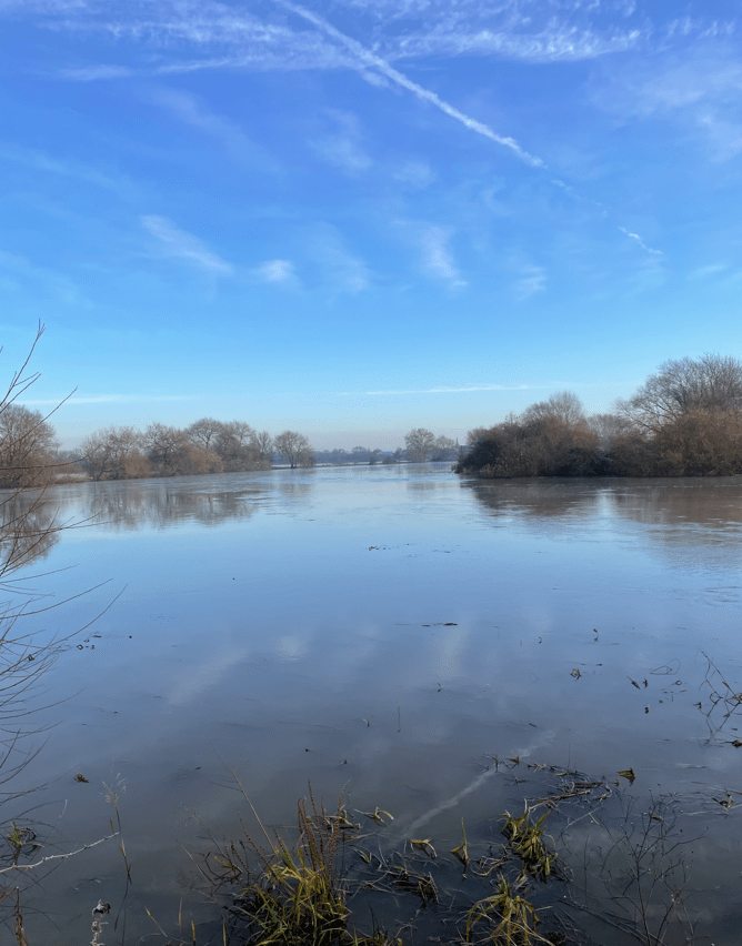
Today ‘The Three Amigos’ did a fabulous walk beside water – and on occasions through water (but not on the water!). A consequence of the recent Storm Bert.
A flooded path beside the canal
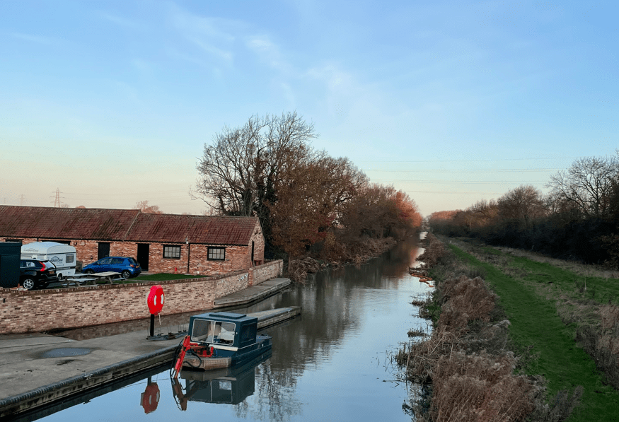
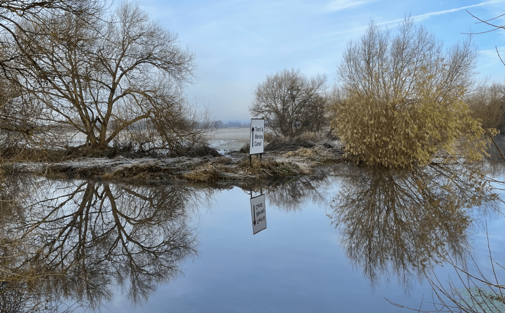
Our route took us from Shardlow, and the Trent and Mersey canal, to Cranfleet Lock – an 8.5 mile there and back walk.
It was a stressful drive around Nottingham to get to Shardlow and well done to Chris for safely navigating the icy roads, flooded bridges and horrific rush hour traffic jams.
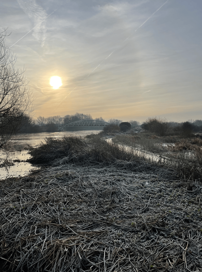
The temperature was just above zero and the sun was shining as we left the car park and set off optimistically, for a nice walk.
The Trent and Mersey Canal
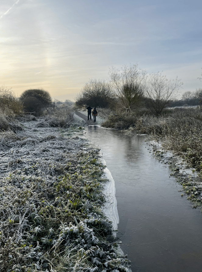
The frost lay white and crisp upon the grass and it looked a typical wintery vista.
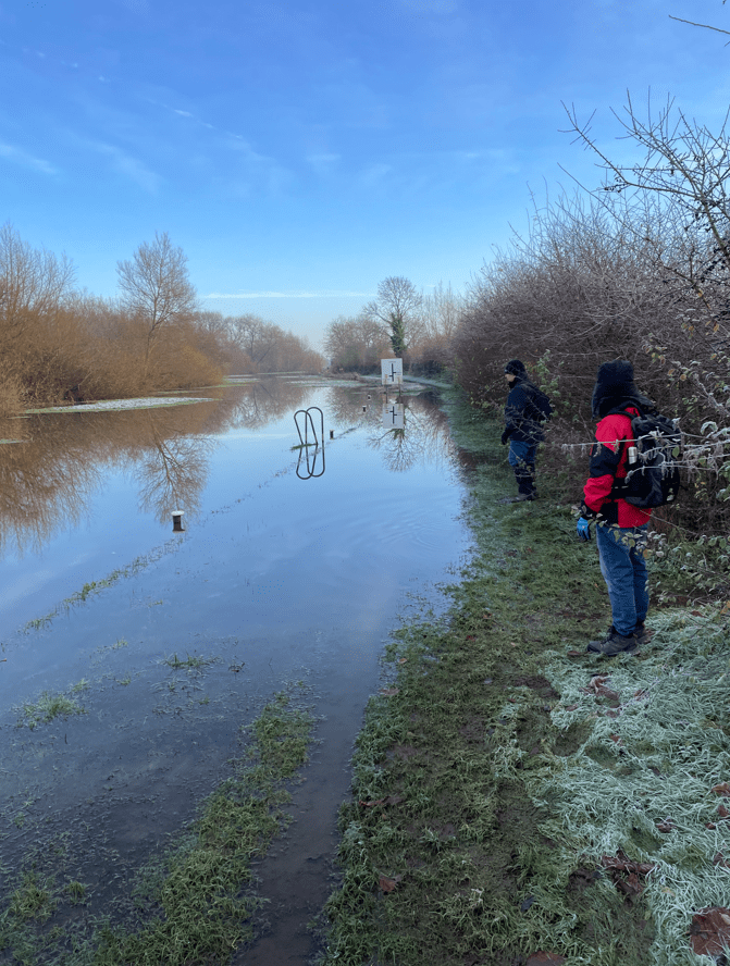
We hadn’t being walking for too long when we met a dog walker who informed us that the canal had breached its bank further on. We pressed on to see whether it was passable.
A very full canal
Chris went forward and, after assessing the situation, decided that we could pass through safely. So that’s what we did, and although our boots were submerged, our feet mercifully remained relatively dry.
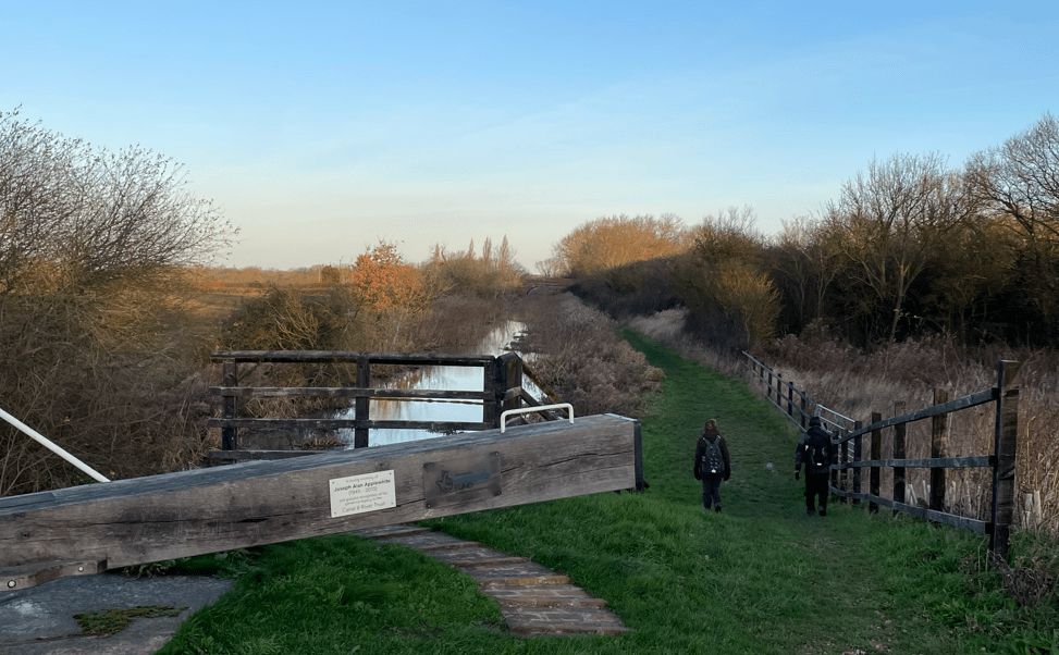
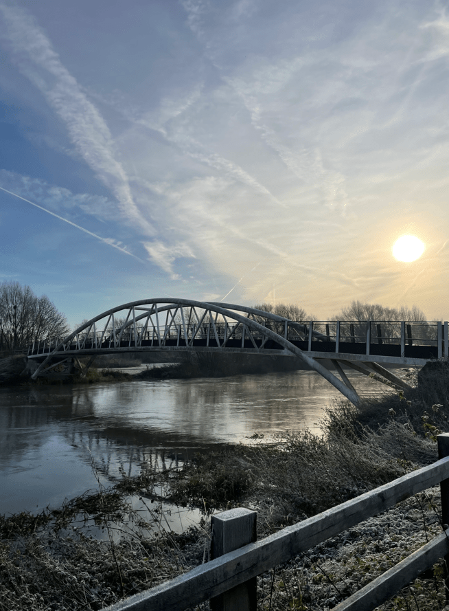
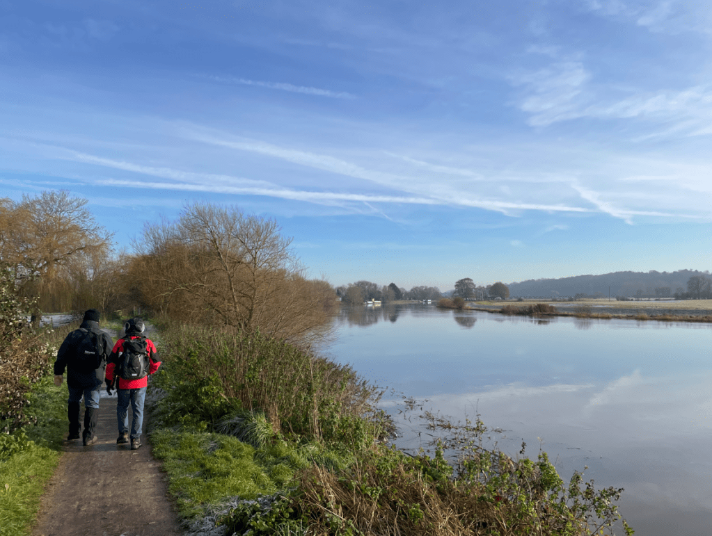
The canal would soon merge with the River Trent after passing through a lock. The river was very fast moving and the surrounding land flooded. We navigated our way across reeds to avoid another flooded path heading for a pedestrian bridge (Long Horse Bridge) to cross the river.
Heading to Long Horse bridgeAnother flooded pathRiver Trent
It was a good morning for capturing some nice images.
Long Horse Bridge
Our route took us under the M1 motorway.
The M1 Motorway
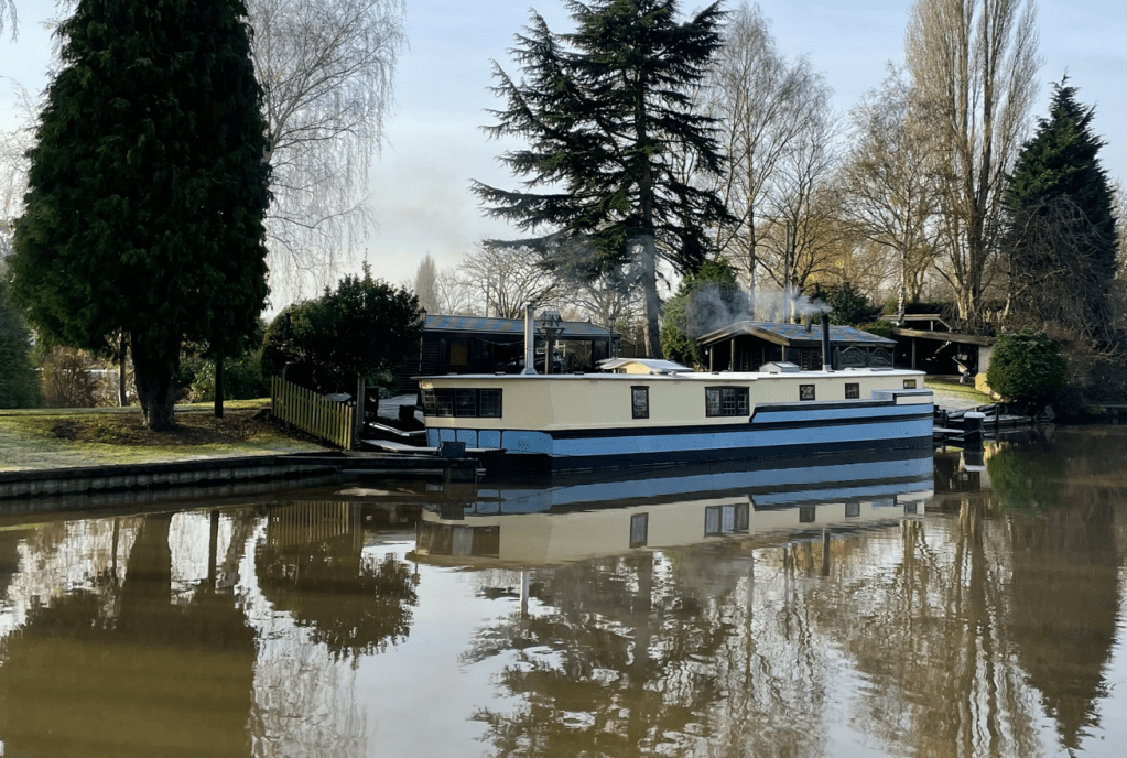
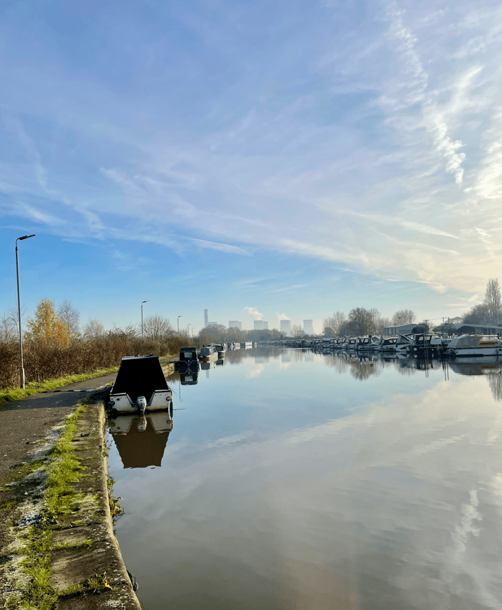
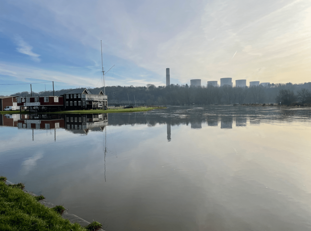
Continuing onwards we reached Sawley Marina where we found a great number of boats moored up. As we passed by it was nice to smell the aromatic wood smoke from the wood burners. There were some lovely boats moored there to admire.
A quaint looking house boat
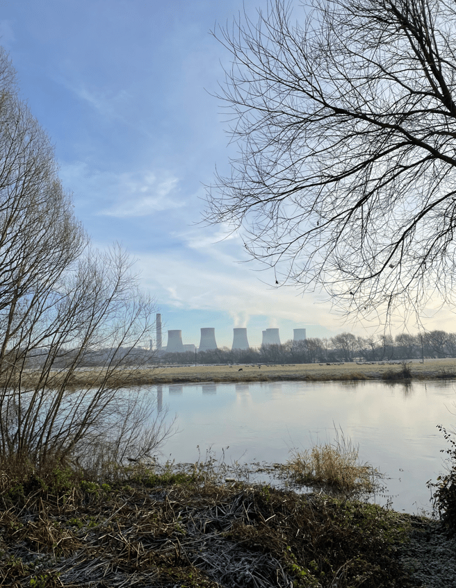
In the distance we could see the cooling towers of the recently closed power station at Ratcliffe-on-Soar. We could see what looked like steam coming from the cooling towers but, because the plant has closed, it must have been morning mist venting through the towers.
Sawley Marina
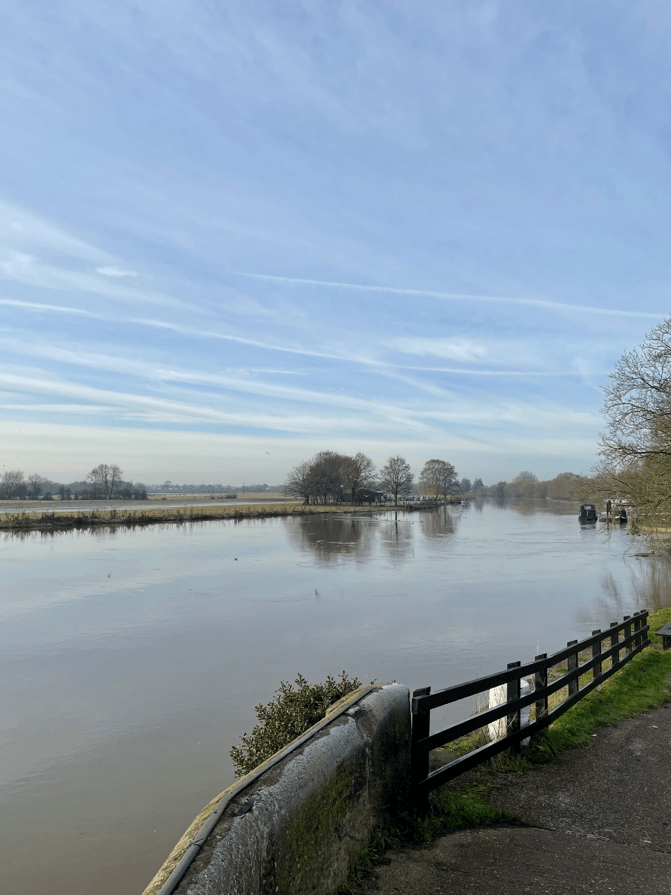
After passing Sawley Lock we crossed another bridge across the river Trent. The views of the fast moving river were impressive.
Sawley Lock on the left and the river TrentRatcliffe-on Soar Power StationWalking beside the river Trent
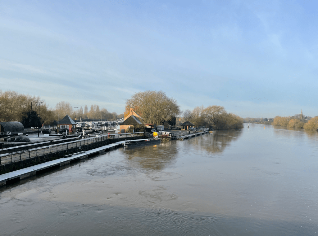
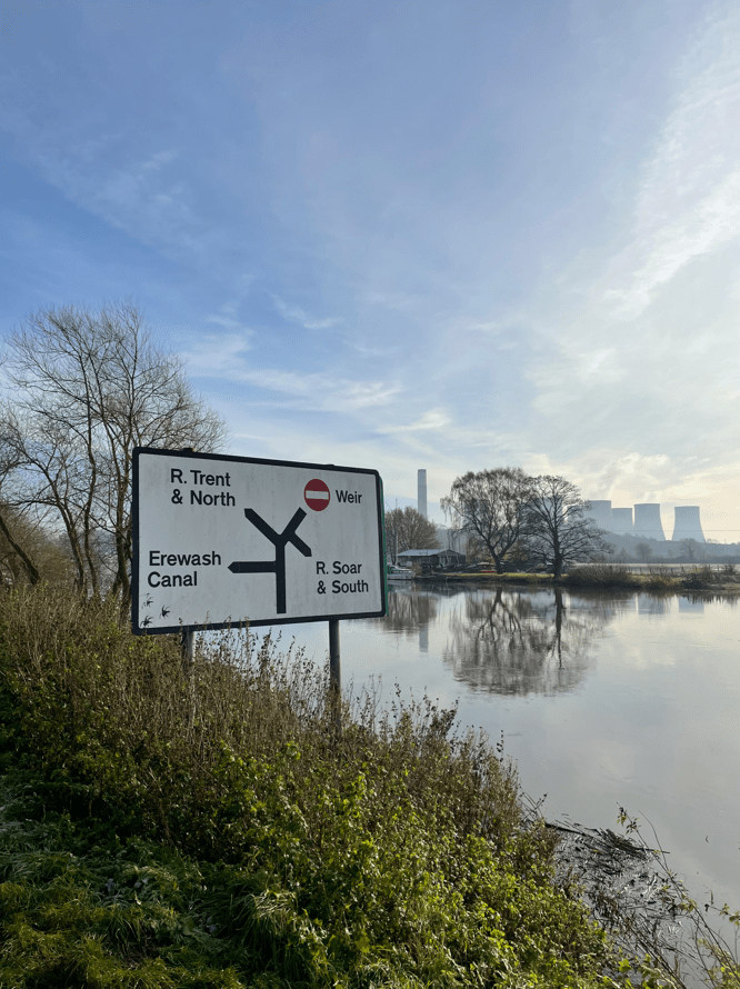
We were headed for Trent Lock which is a major waterway junction.
River Trent
At Trent Lock there are two pubs and a tea room so I guess its a popular spot in good weather.
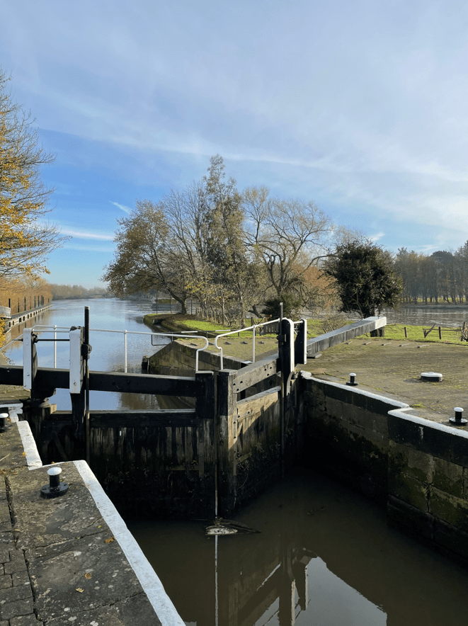
We stopped for a cuppa and a bite to eat here admiring the view. I do like walking beside water – its special. After our break we continued walking along the Cranfleet cut to reach the Cranfleet lock where we about turned and headed back.
Cranfleet Lock
Walking back we found that the flooded paths had receded slightly so that was a plus. I do wonder with global warming and the increased frequency and ferocity of storms how our waterways will cope in future years.