Hello and welcome back to my blog 😊.
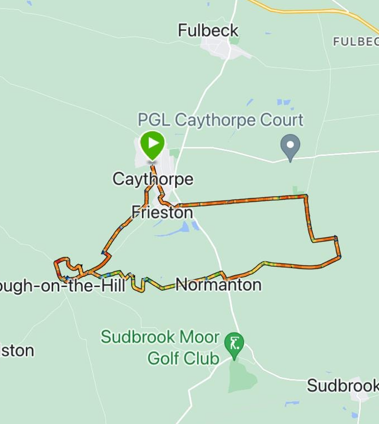
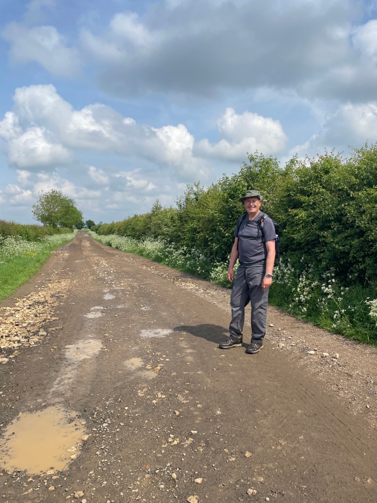
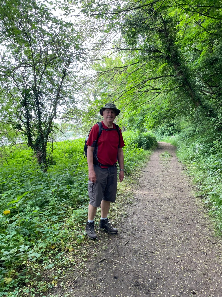
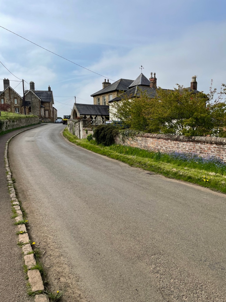
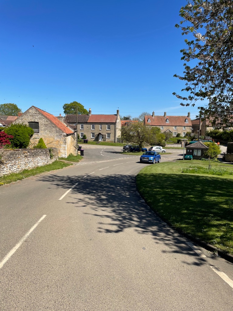
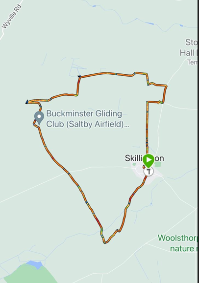
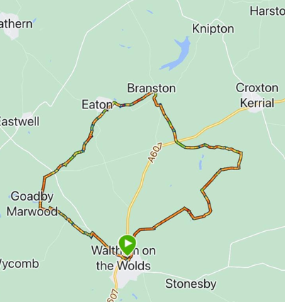
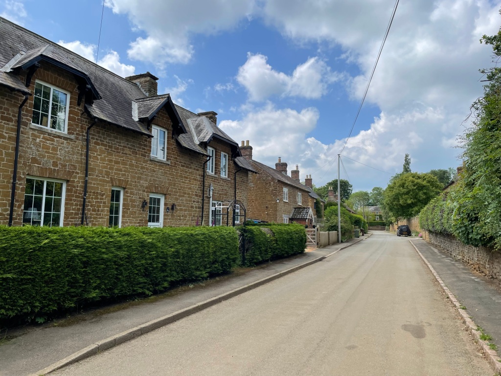
This morning the Three Amigos met up in Waltham on the Wolds and did an 11 mile circular walk taking in Branston, Eaton and Goadby Marwood. It would be an undulating walk and difficult in sections where nature had reclaimed the footpaths. We would have lovely views. I had done the walk last year with Angela but it was a new walk for Mick and Chris.

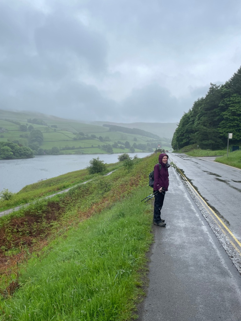
It was a cool summer morning when we began, but the sun soon made an appearance warming us up.
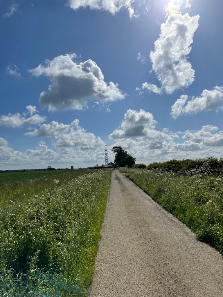
We headed out of Walton passing a NATS (National Air Traffic Services) radio station and just when we were looking at the station The Red Arrows flew past in formation – fantastic!
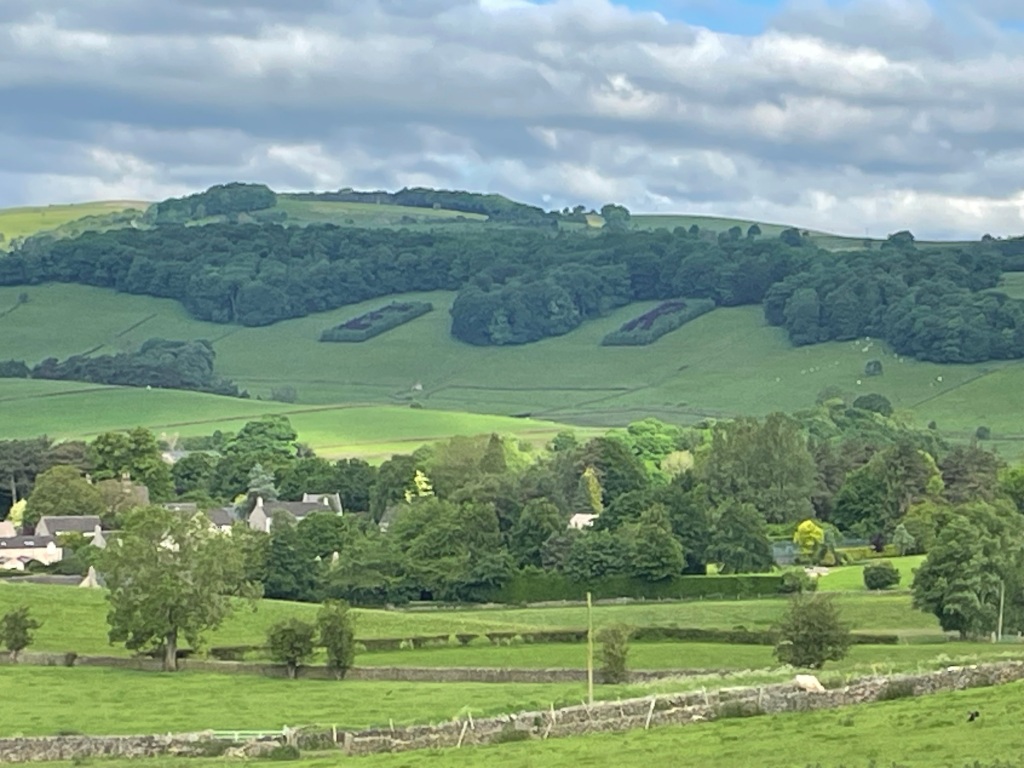
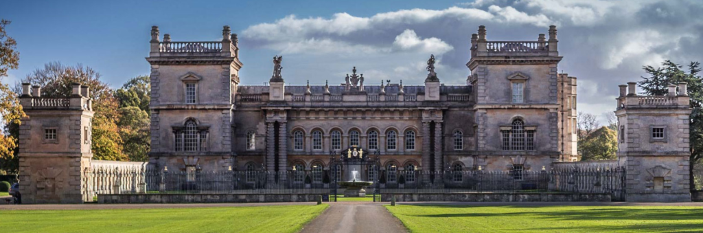
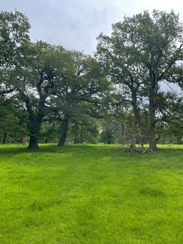
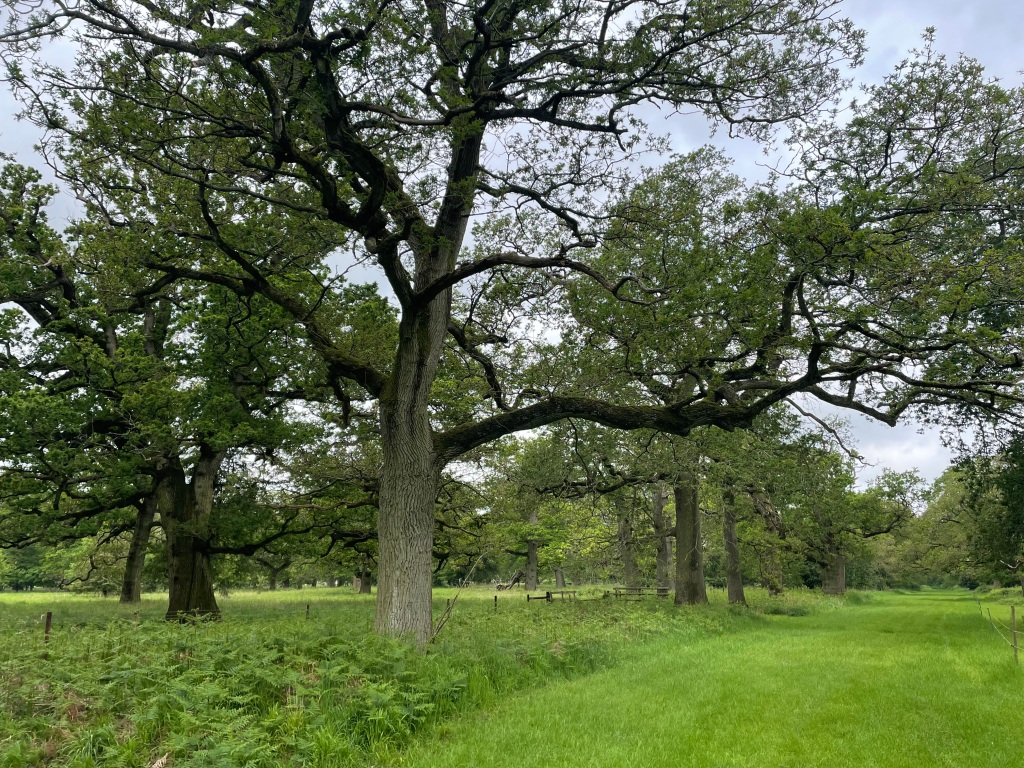
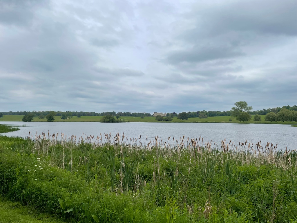
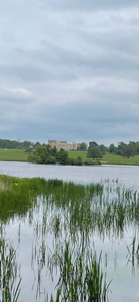
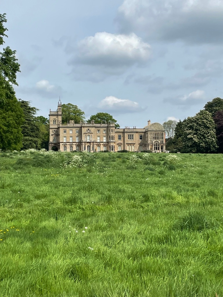
We followed a grassed trail past the old Croxton Race Course to Bescaby where we passed a fine looking house with a picturesque lake.


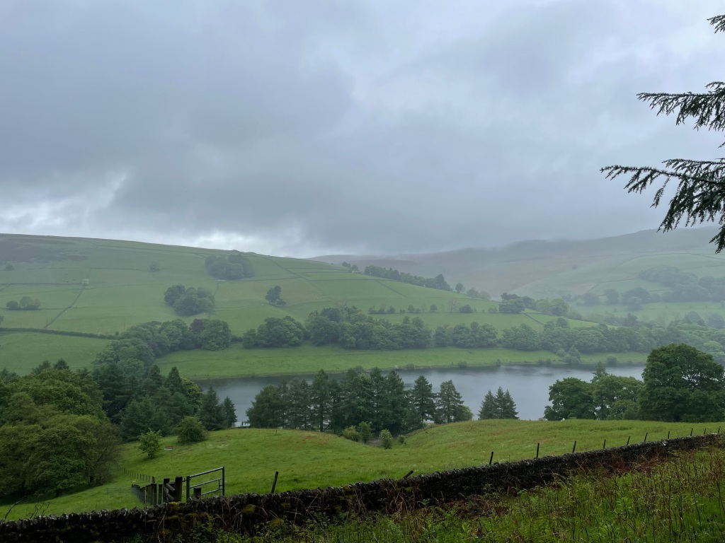
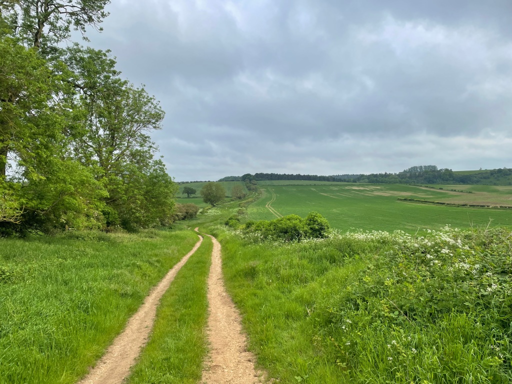
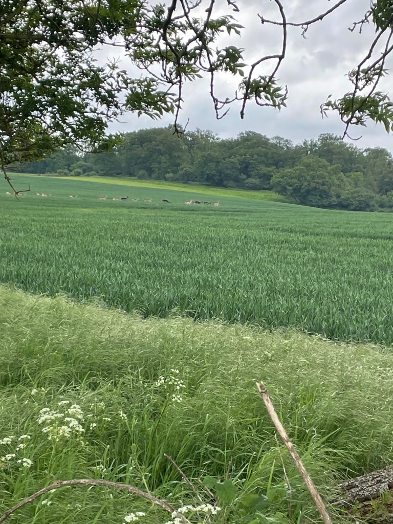
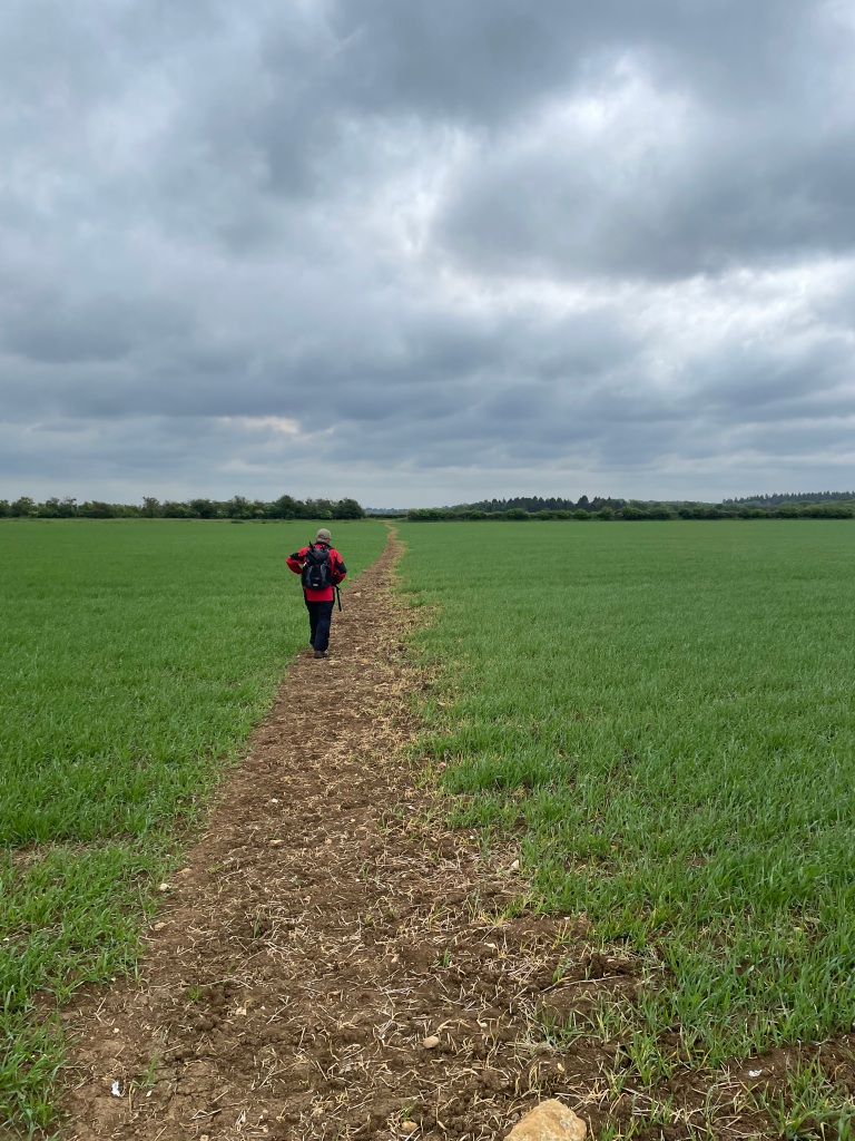
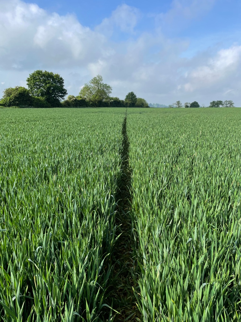
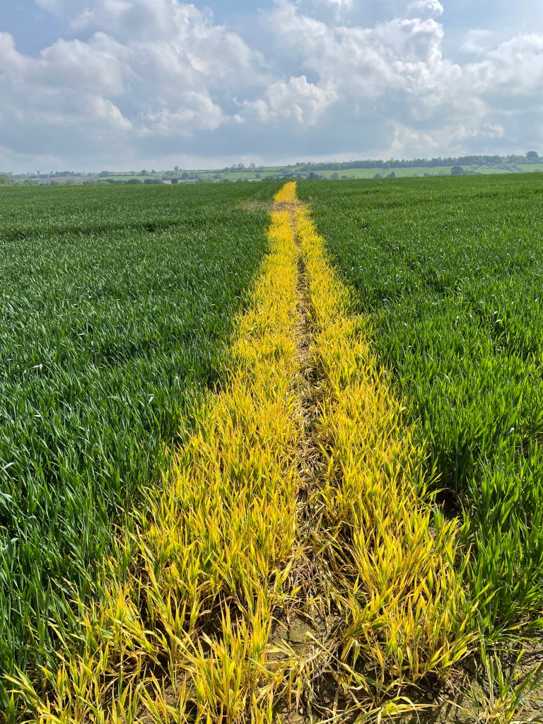
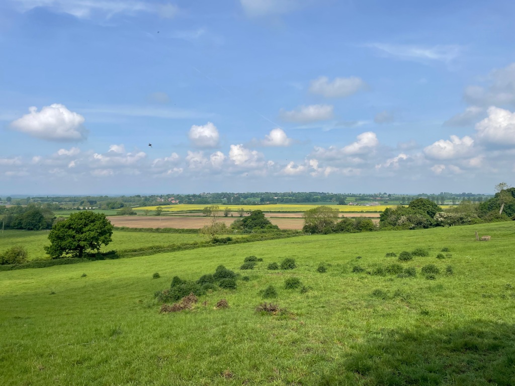
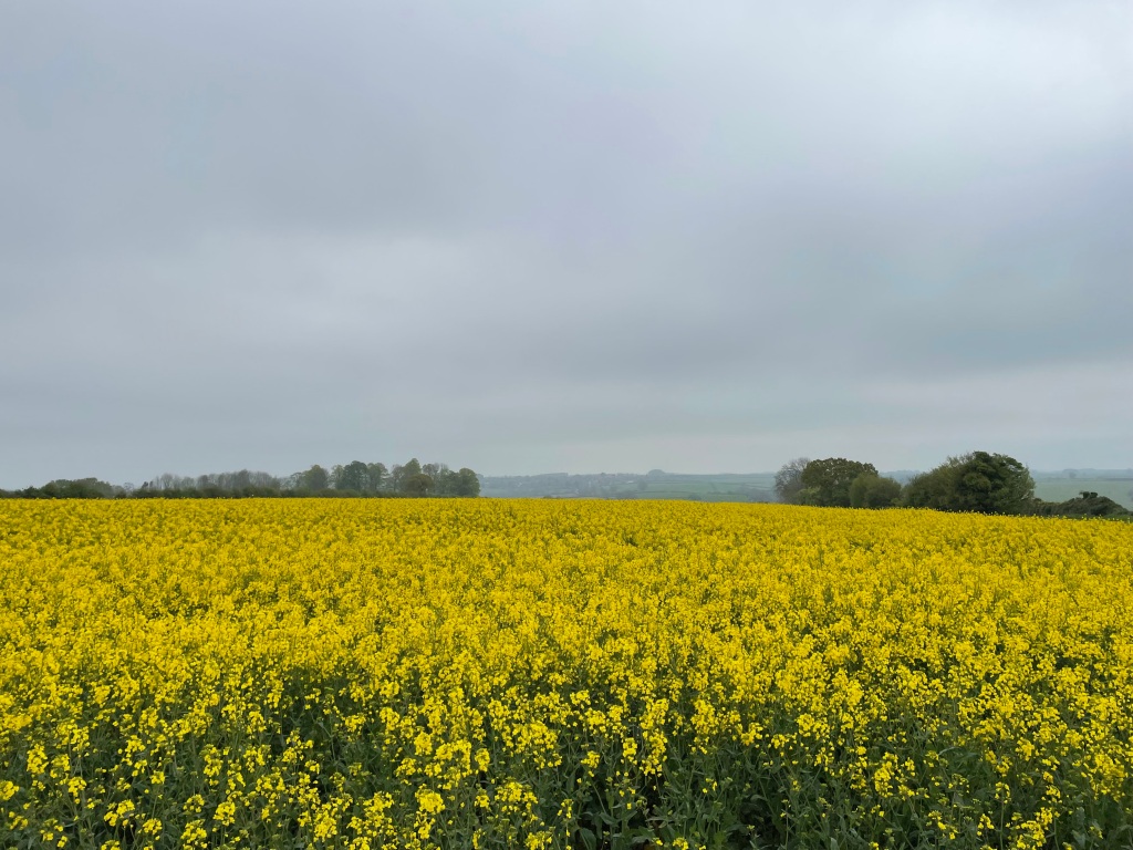
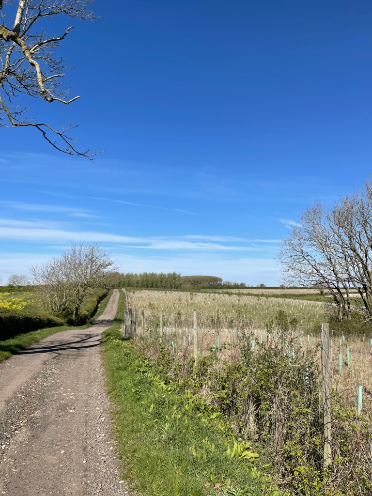
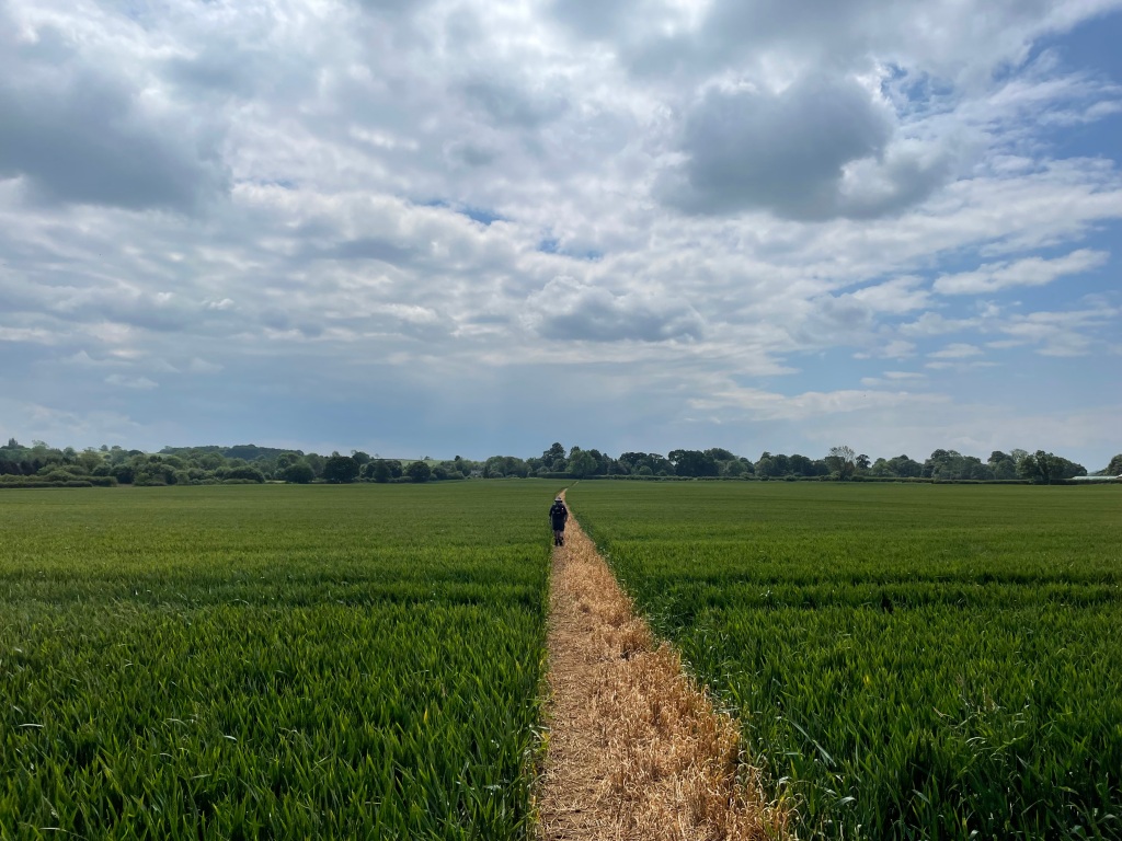
It was nice to see the crops growing in the adjacent fields. We would cross many fields on this walk.

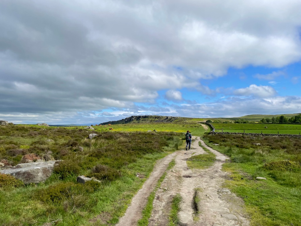
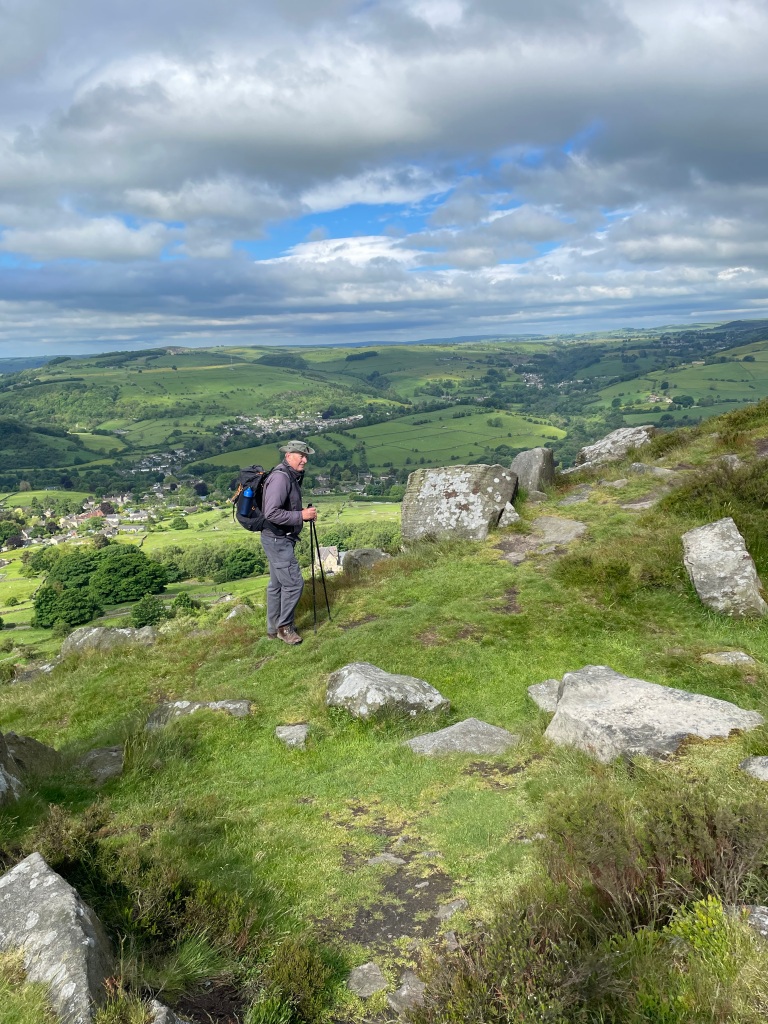
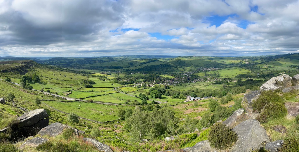
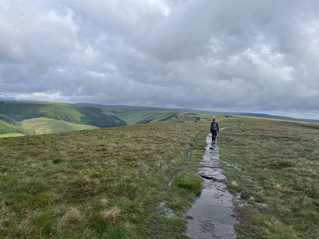
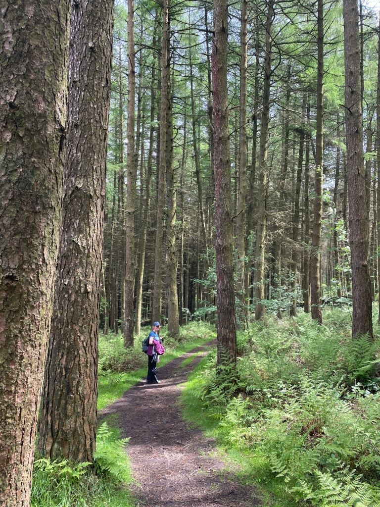
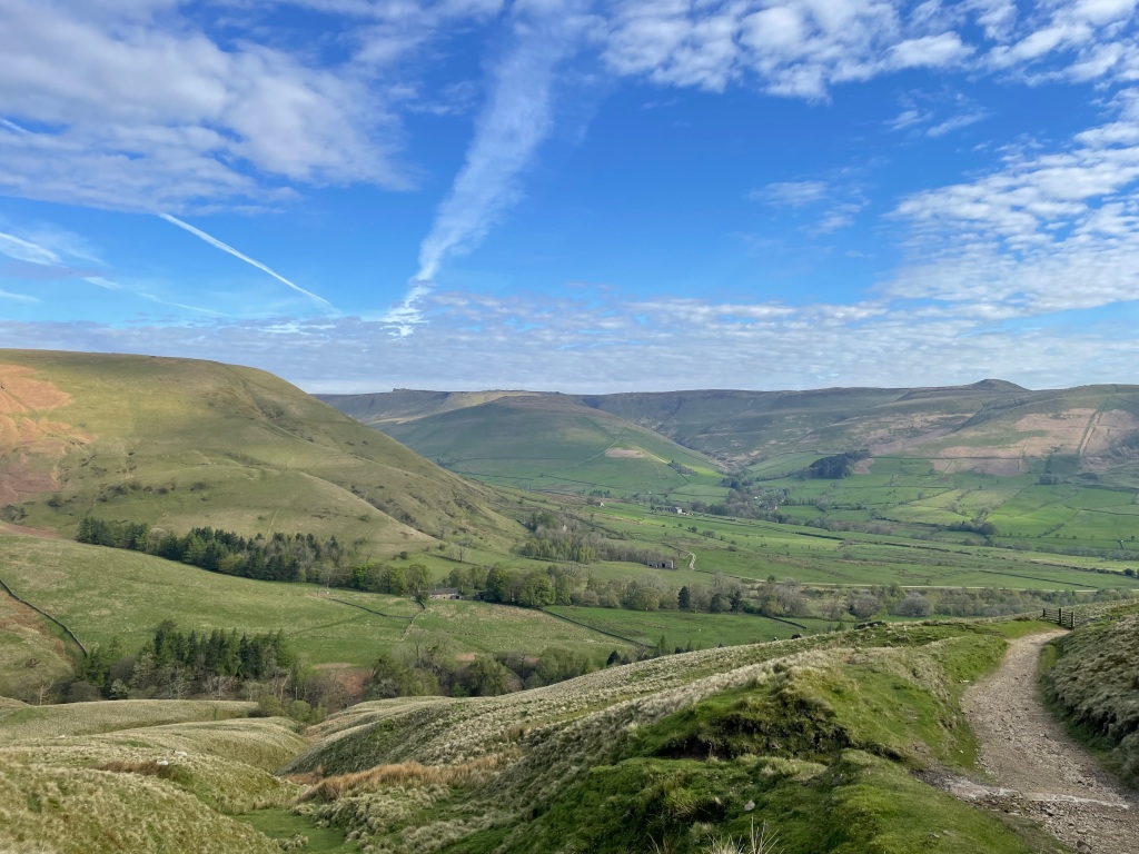
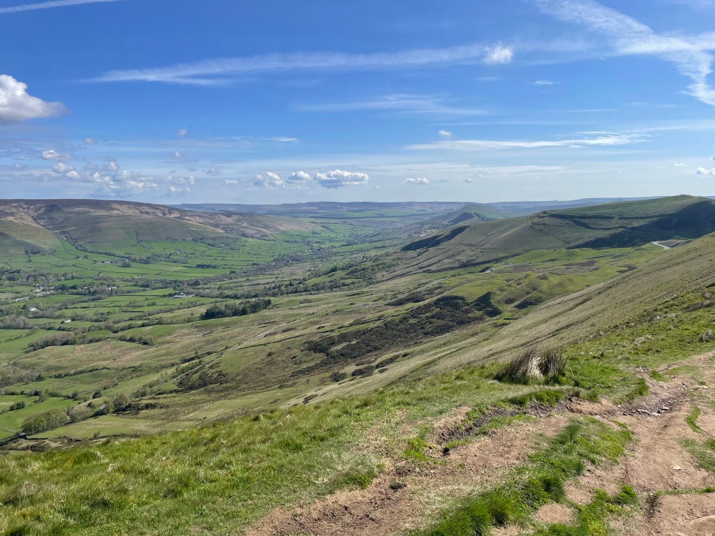
Following Mary Lane on the way to Croxton Kerrial we turned east and headed past Old Wood and then up Windmill Hill – a steep hill with very nice views.

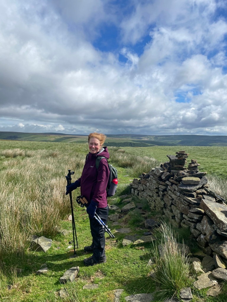
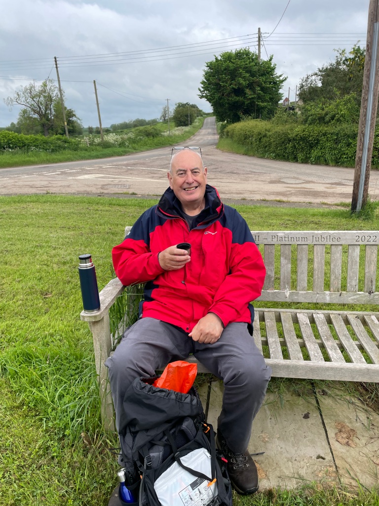
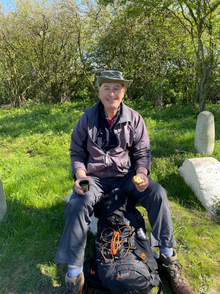
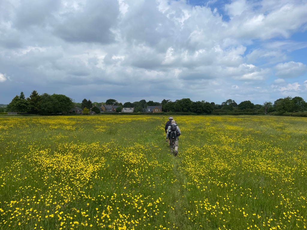
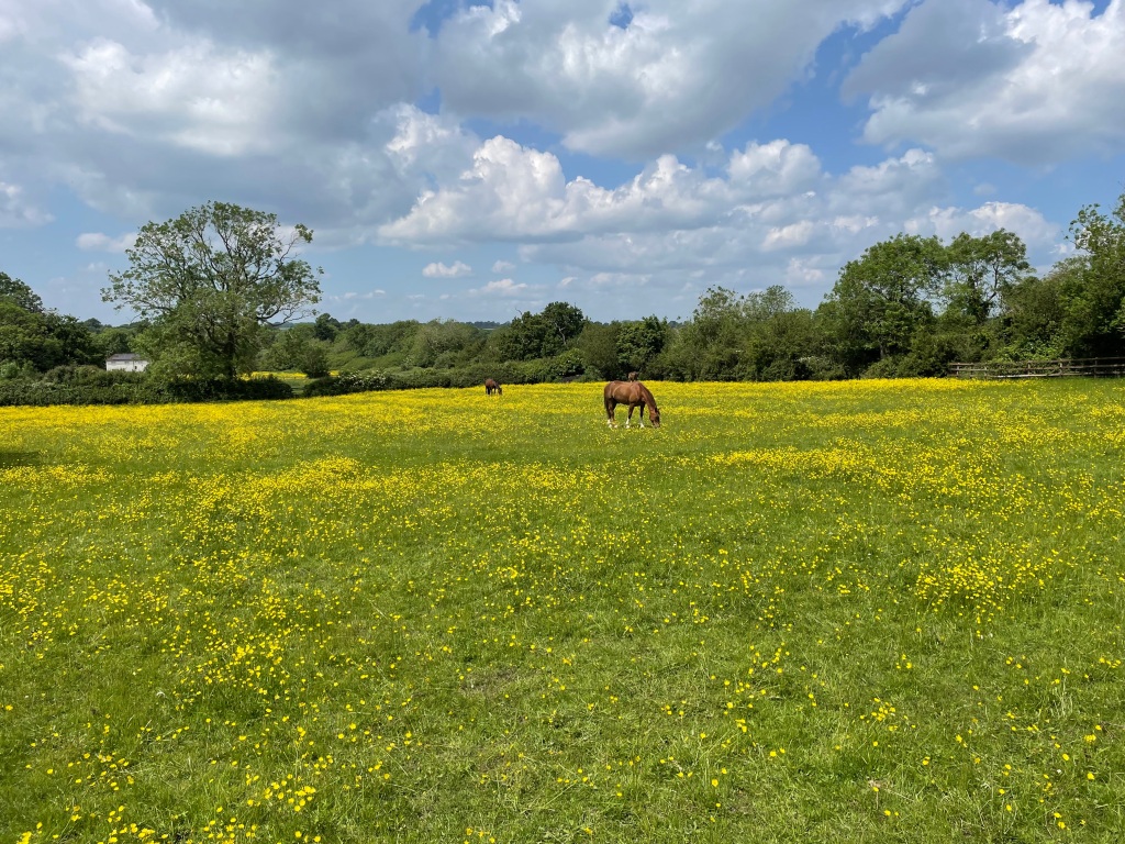
Having reached the top we followed a trail downhill towards Branston, stopping for refreshments on the way. The fields were carpeted with yellow buttercups – they were very colourful.
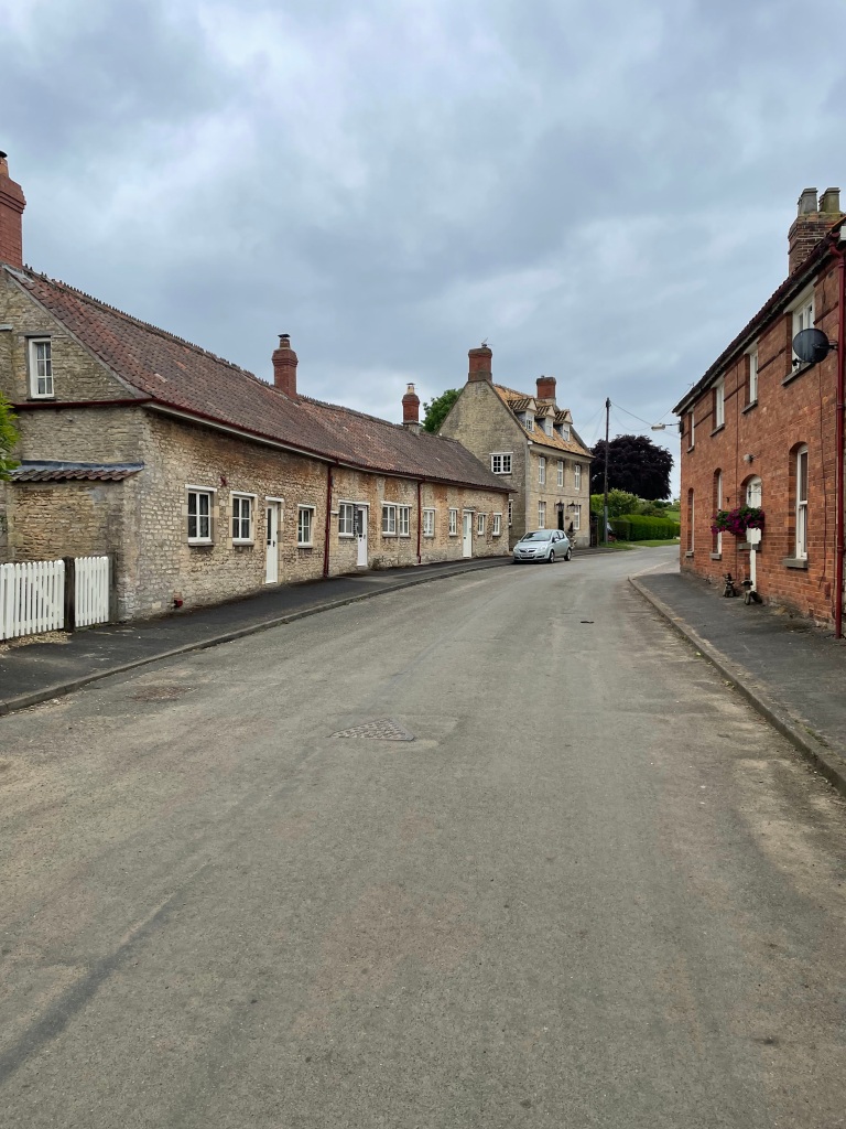
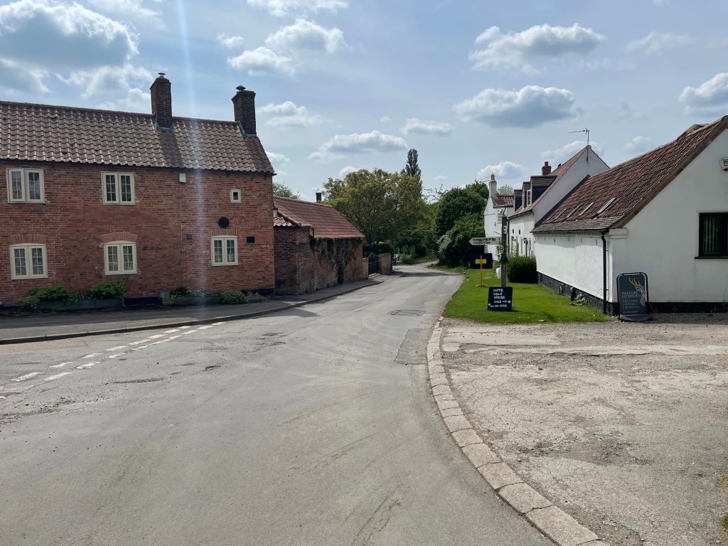
In Branston we walked through the pub courtyard to follow the footpath to Eaton.

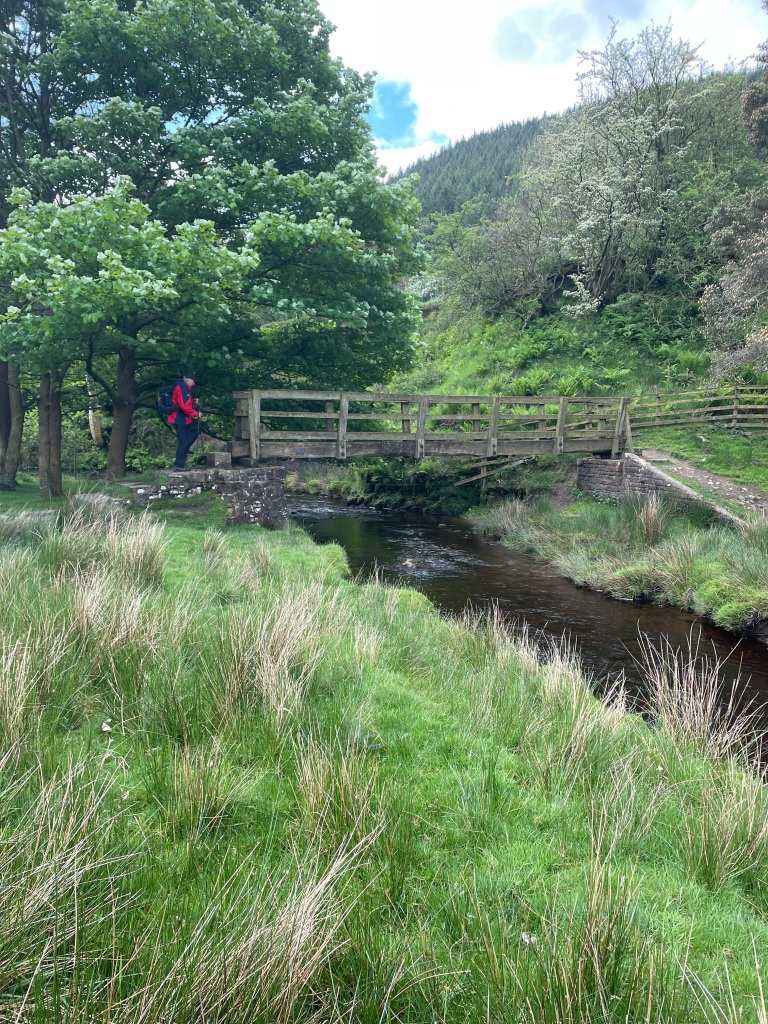
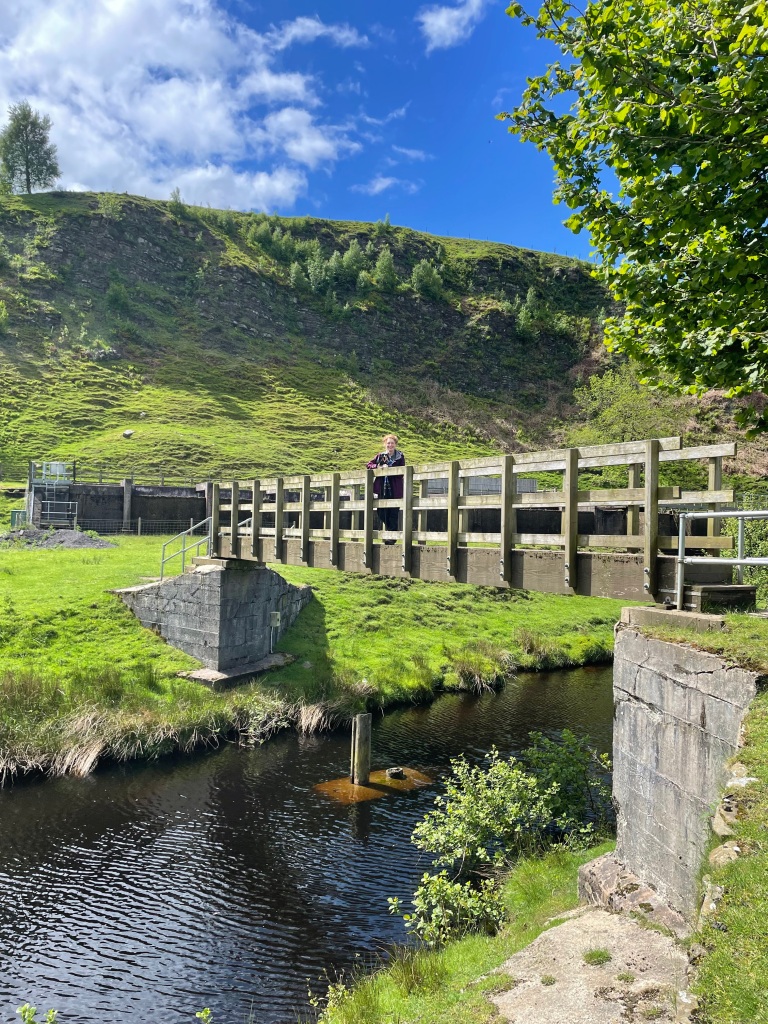
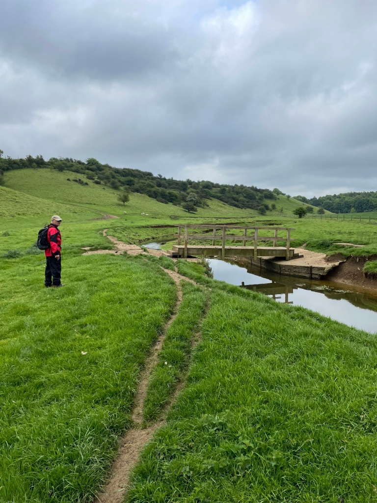
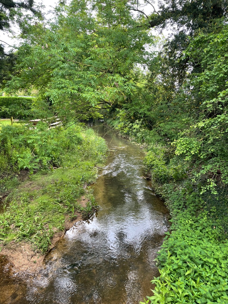
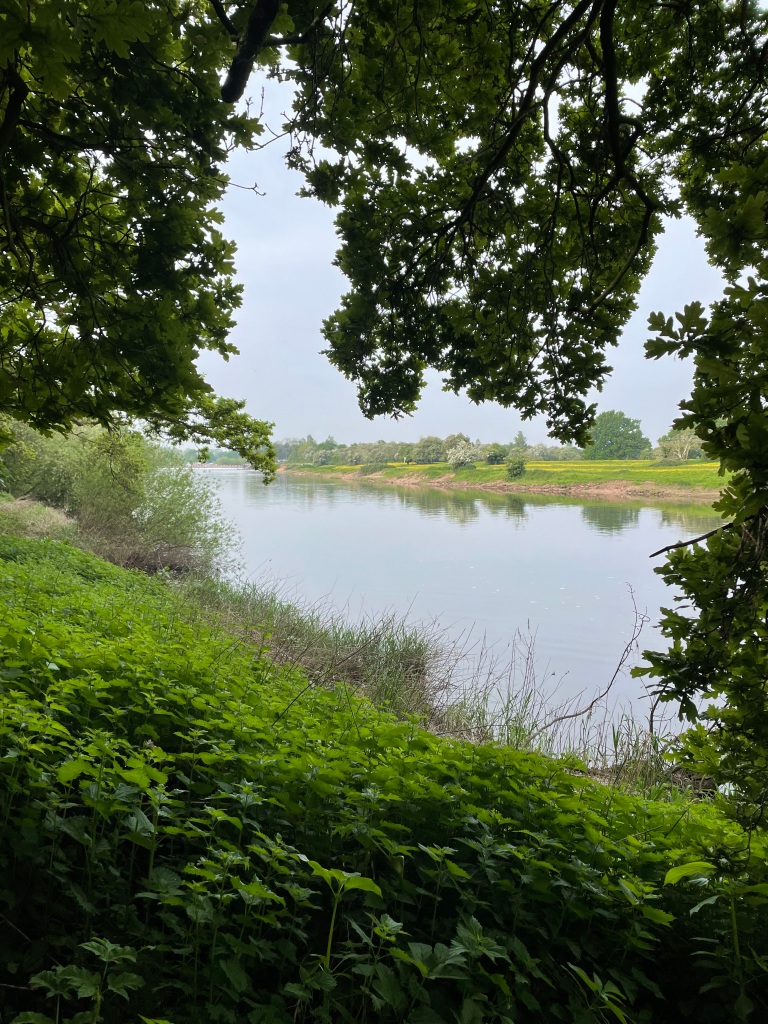
We saw hares, a red kite and a buzzard. Crossing the river Devon we took another break on a handy bench before walking through the village to find our path out towards Goadby Marwood.

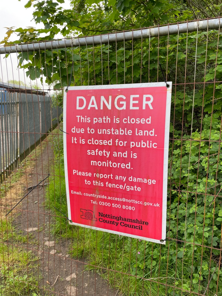
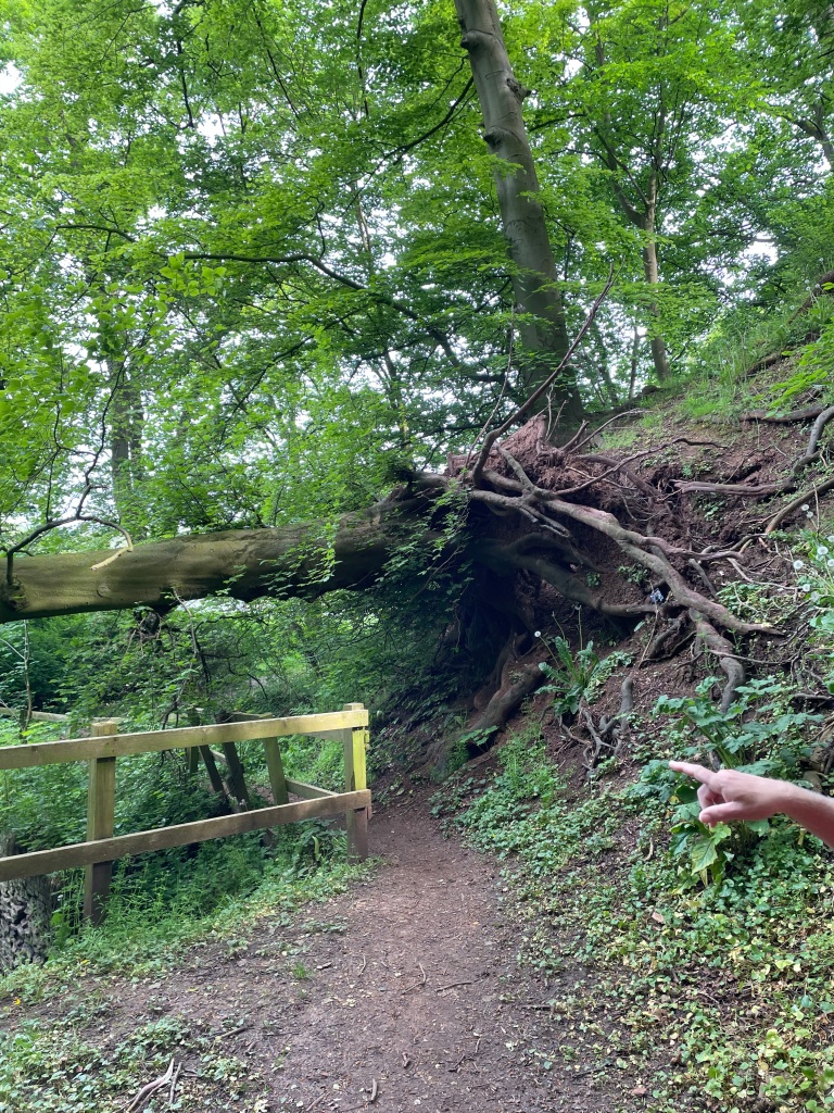
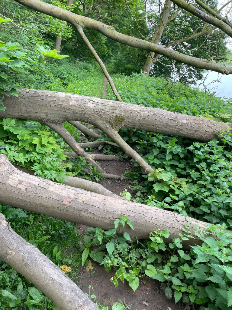
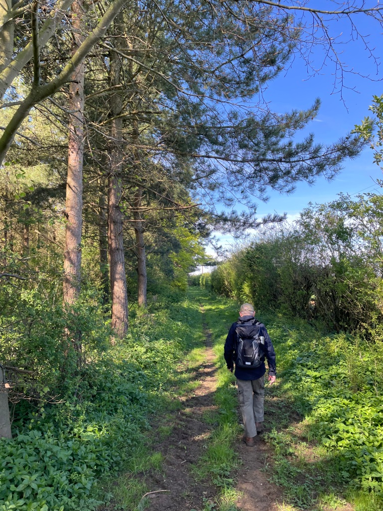
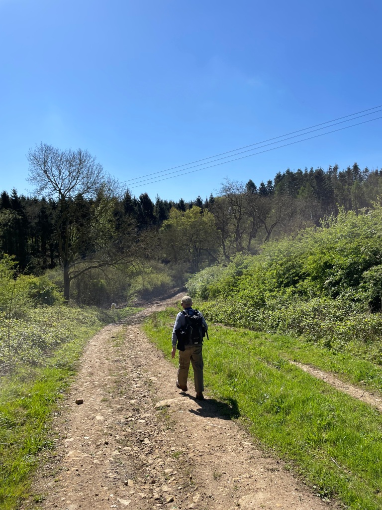
The next section of the walk was the tricky one with overgrown paths but we battled through.

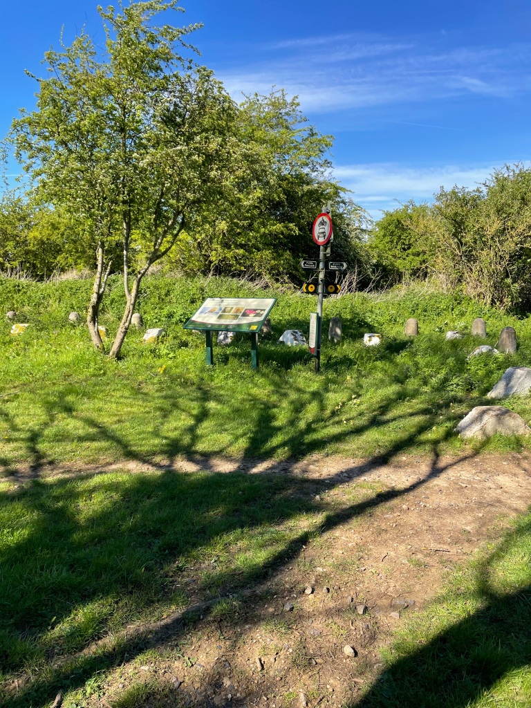
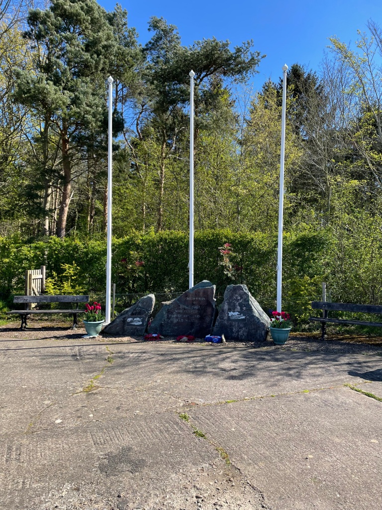
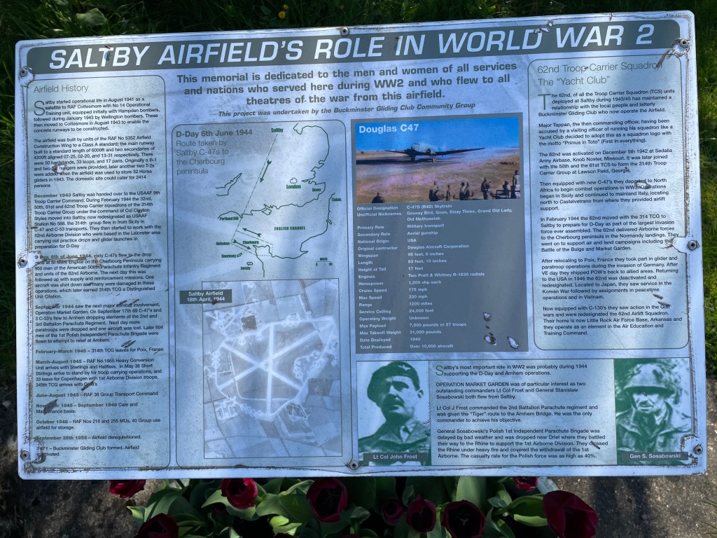
We came across a memorial to the crew of a Lancaster bomber who had crashed nearby. Chris did some research and came up with a link that tells the story of the search for the crash site http://www.goadby-marwood-history.co.uk/lancaster-r5694-em-f

It was particularly poignant coming across the memorial because its the 80th anniversary of the D-day landings tomorrow. As always, the crew were very young which makes it all the more tragic.
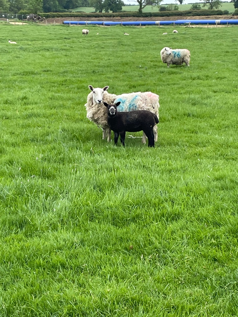
Continuing on we crossed a field containing cows. It was interesting to see the cows run away from us. Usually, being curious animals, they make their way towards you.

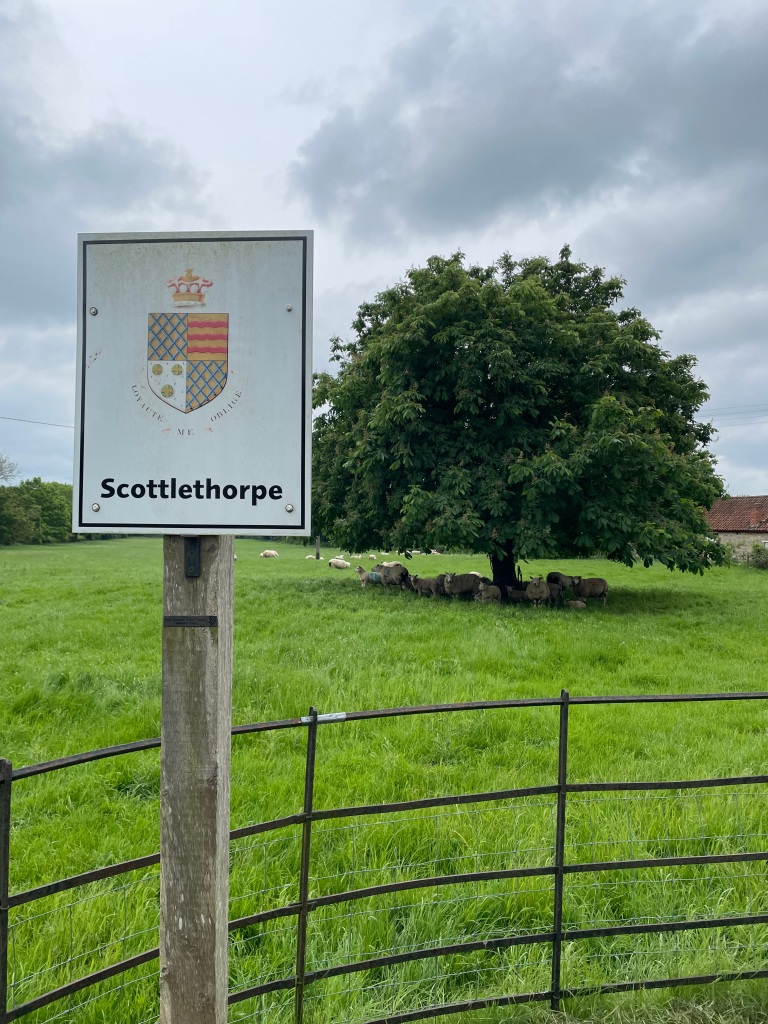
We entered Goadby Marwood passing Goadby Hall and walked through the village.
We found our path out of Goadby Marwood crossing a number of stiles through fields containing friendly horses.
Stiles continued to be enclosed in nettles and weeds.

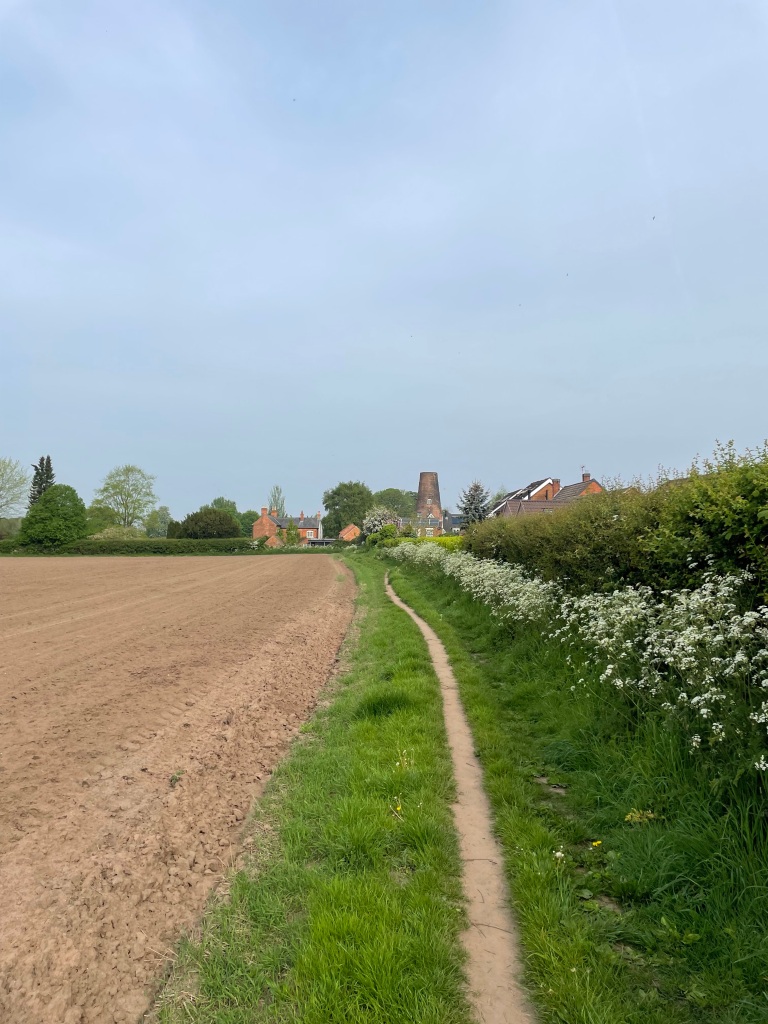
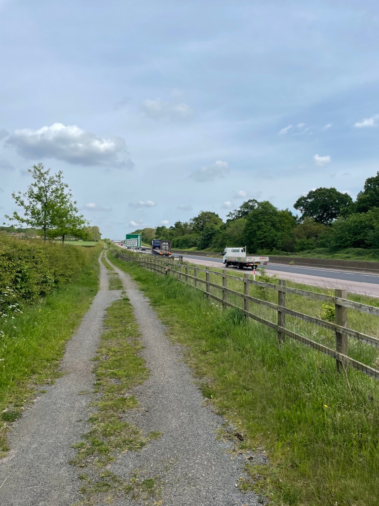
In places no path was visible and after reaching the sewage works we decided to take to the road for the short section back into Waltham on the Wolds.

This was a walk of two parts I think, with the latter being a bit troublesome due to the terrain. Still, we had enjoyed some fine views and had a good chat along the way.
Happy Walking! 😊🚶♂️